After a long day of bus rides and cable cars, it was time for some hiking. Nothing hard for our age, but moderate enough, just to get the legs to ache and the bones to complain a little.
Having purchased a subscription to AllTrails, we had time before we left Turin to plan several hikes, of varying difficulty. Since the weather was so nice, we went for a scenic hike and chose Gargantua Hill.[1]Though technically any heap of rock and dirt may be called a hill, this is actually a glacial moraine, deposited thousands of years ago when the glaciers from the last Ice Age left this valley.
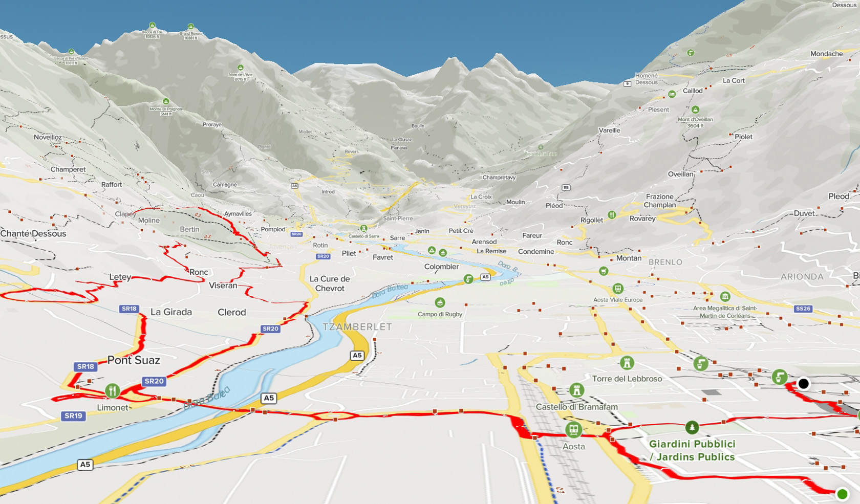
Map – Our Route
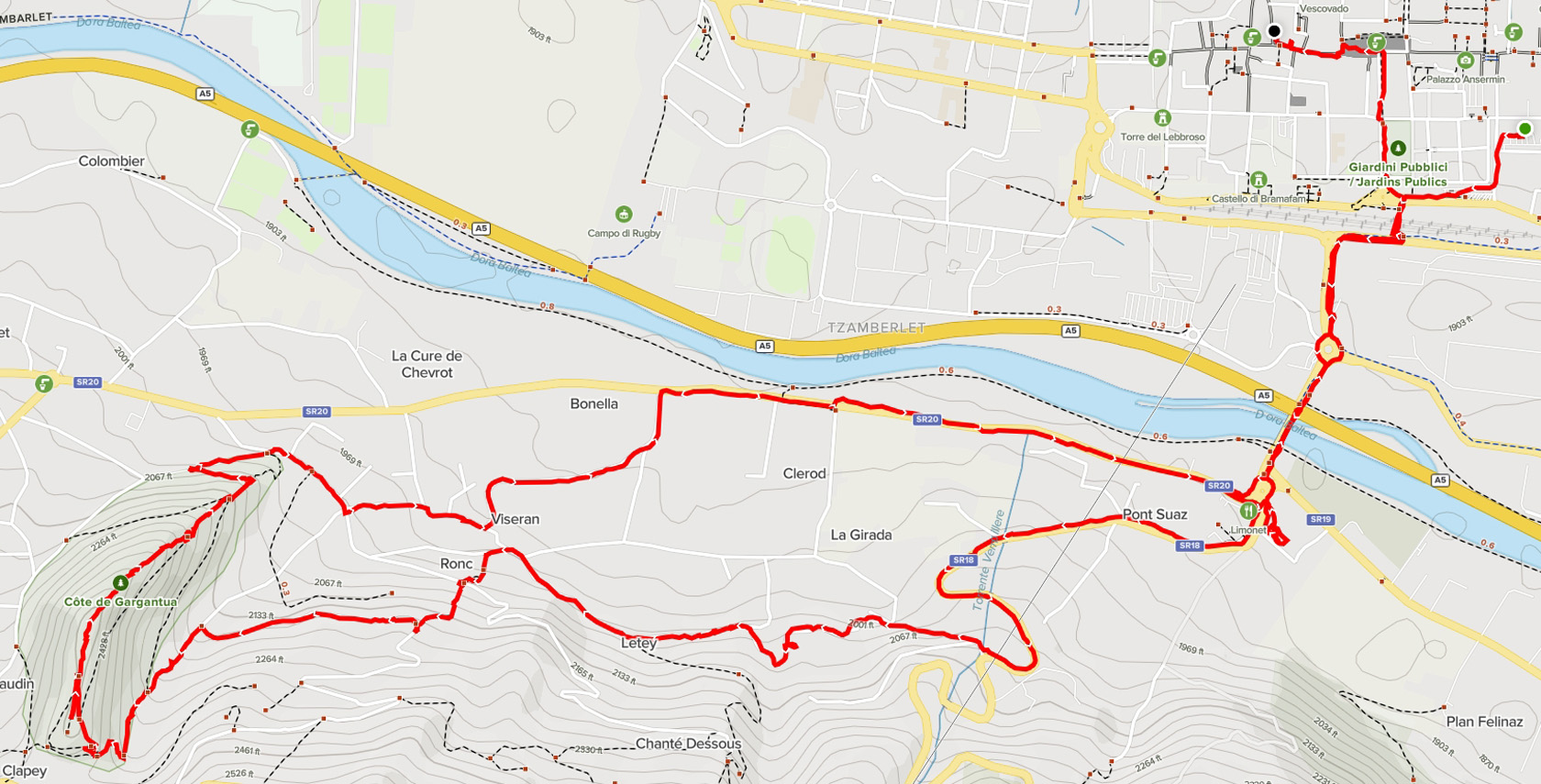
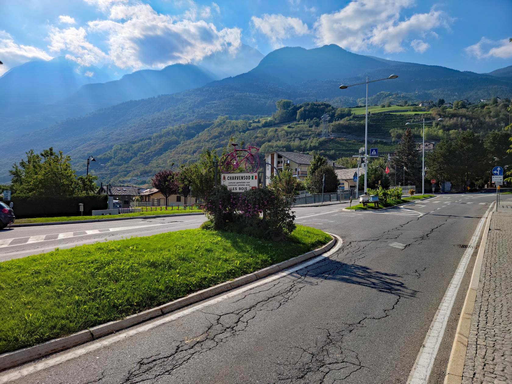
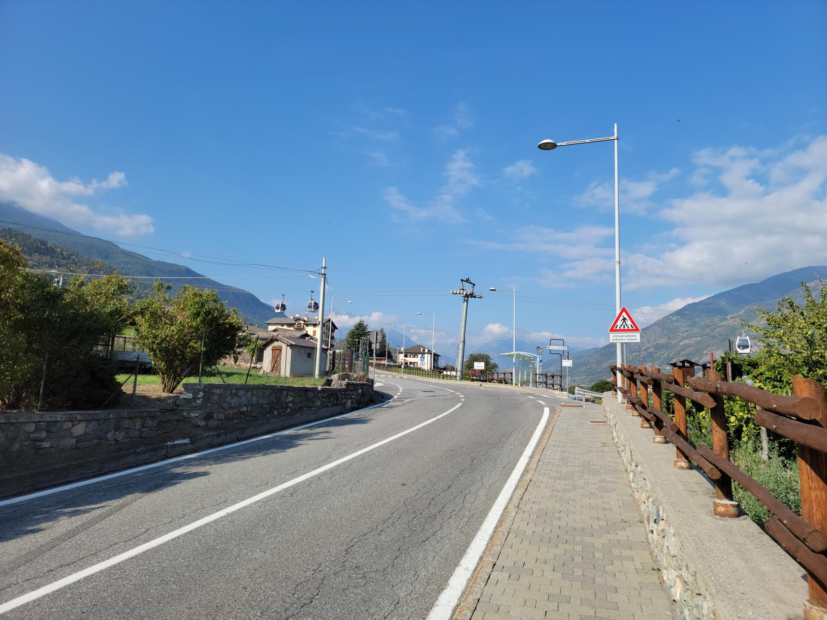
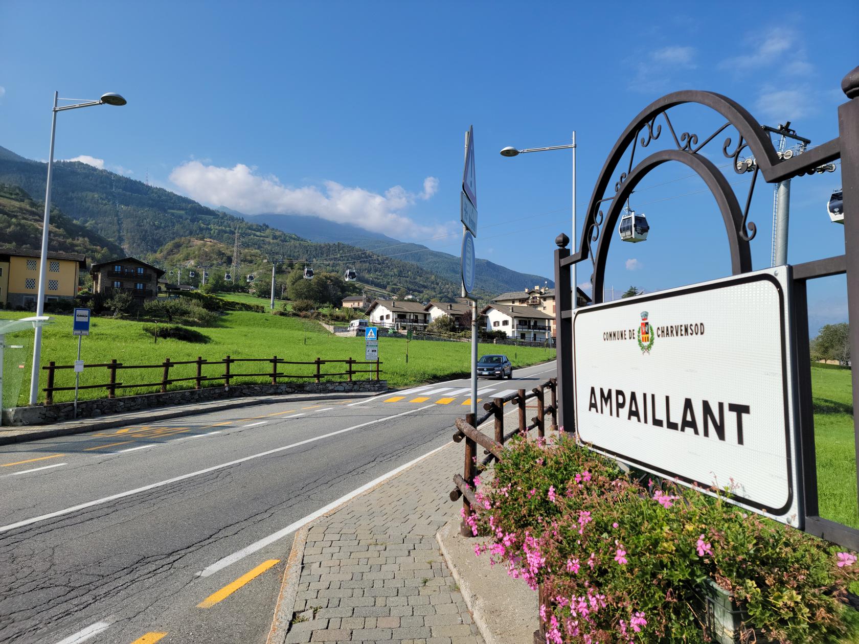
The hike was rather simple, leave our hotel, use the tunnel to go under the rail station, walk across the Pont Suaz bridge and walk the neighborhoods until we reached the hill, then ascend it.
We brought plenty of water, and were happy that we did, because it was pretty warm, perhaps in the middle 80s (about 28/29C). I also wore a hat part of the way, which helped to shade the sun beating down on me, so one can say – wearing a hat is good advise.
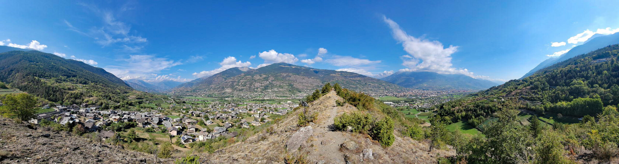
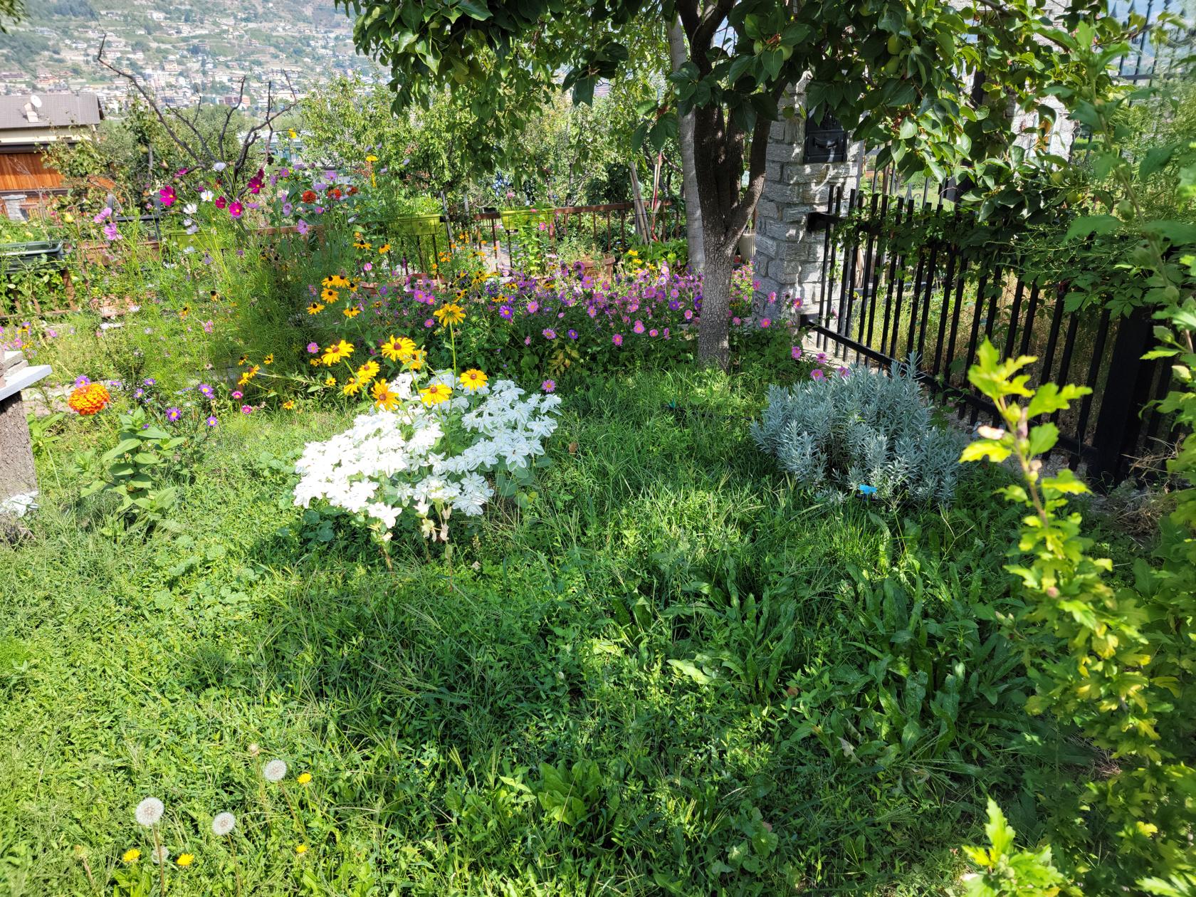
Gargantua Nature Preserve
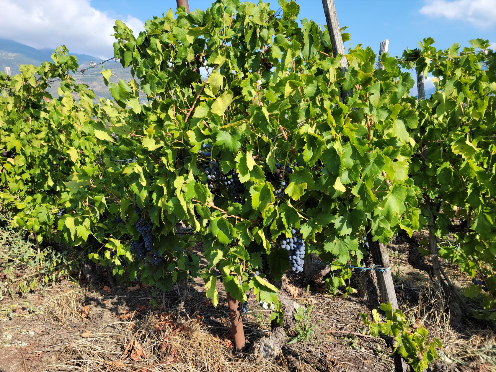
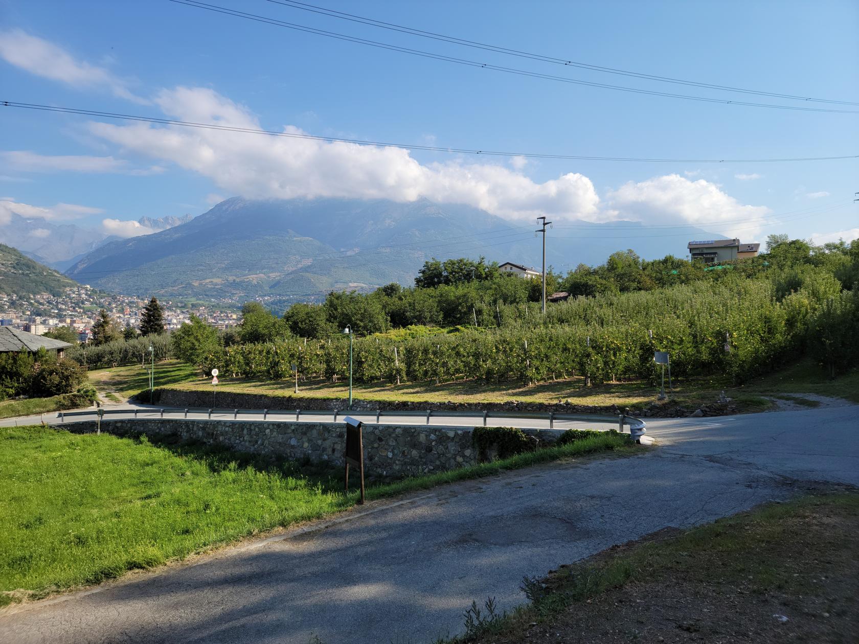
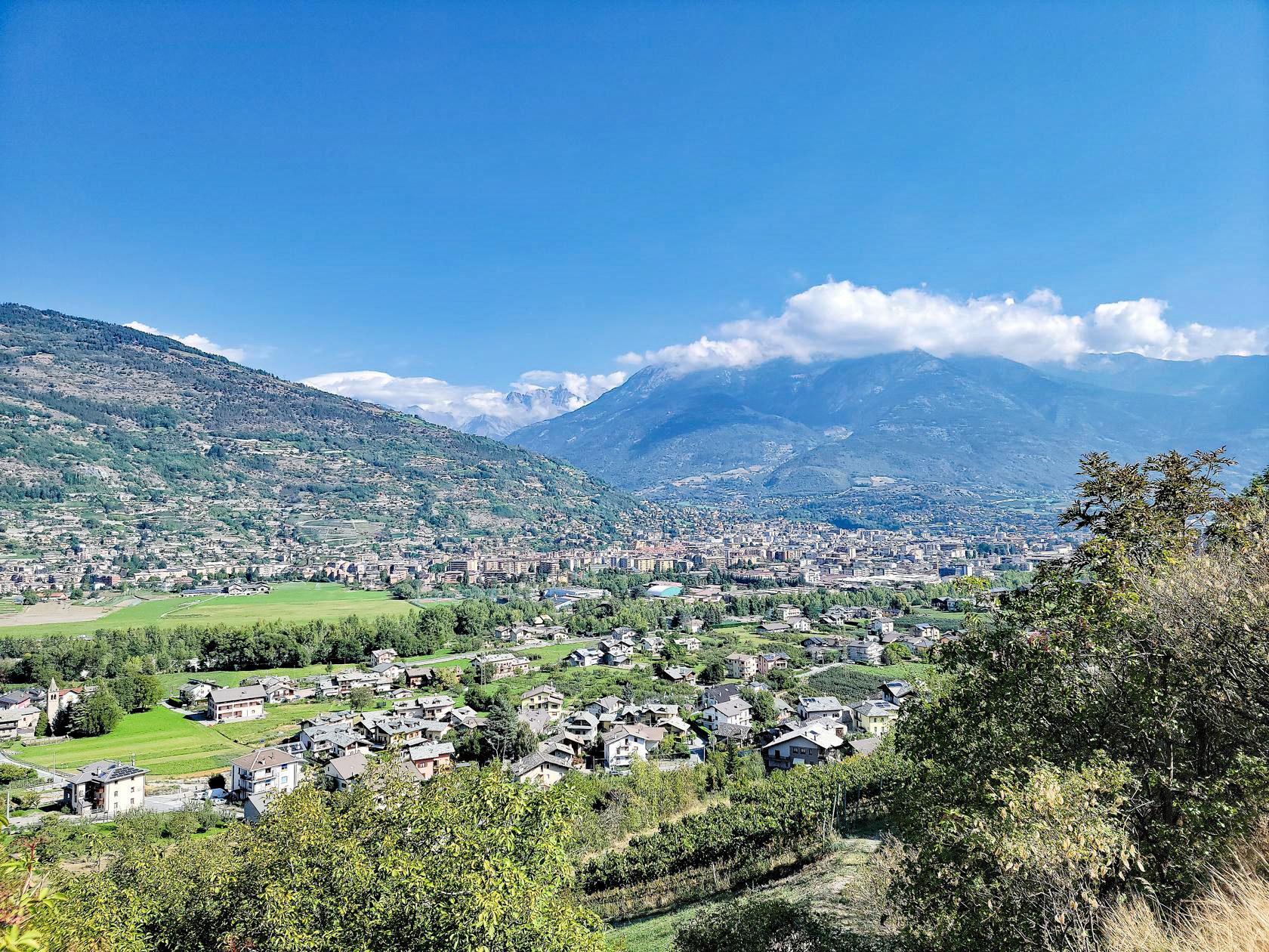
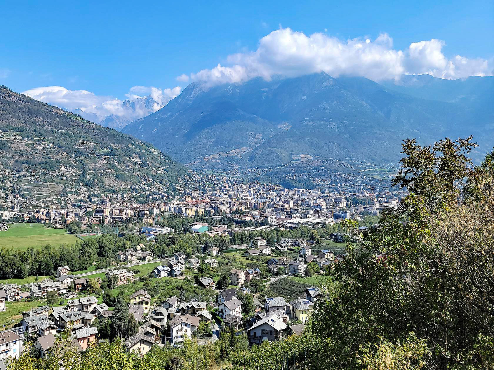
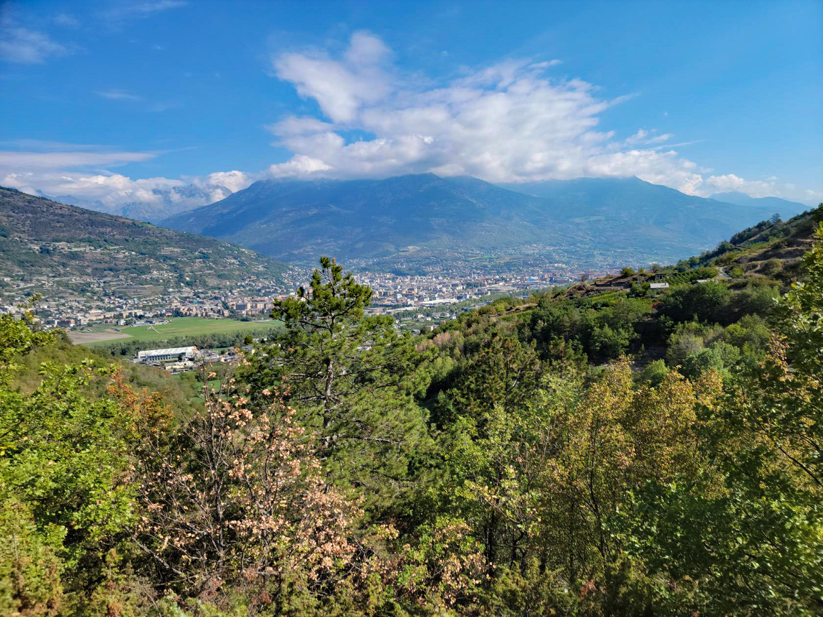
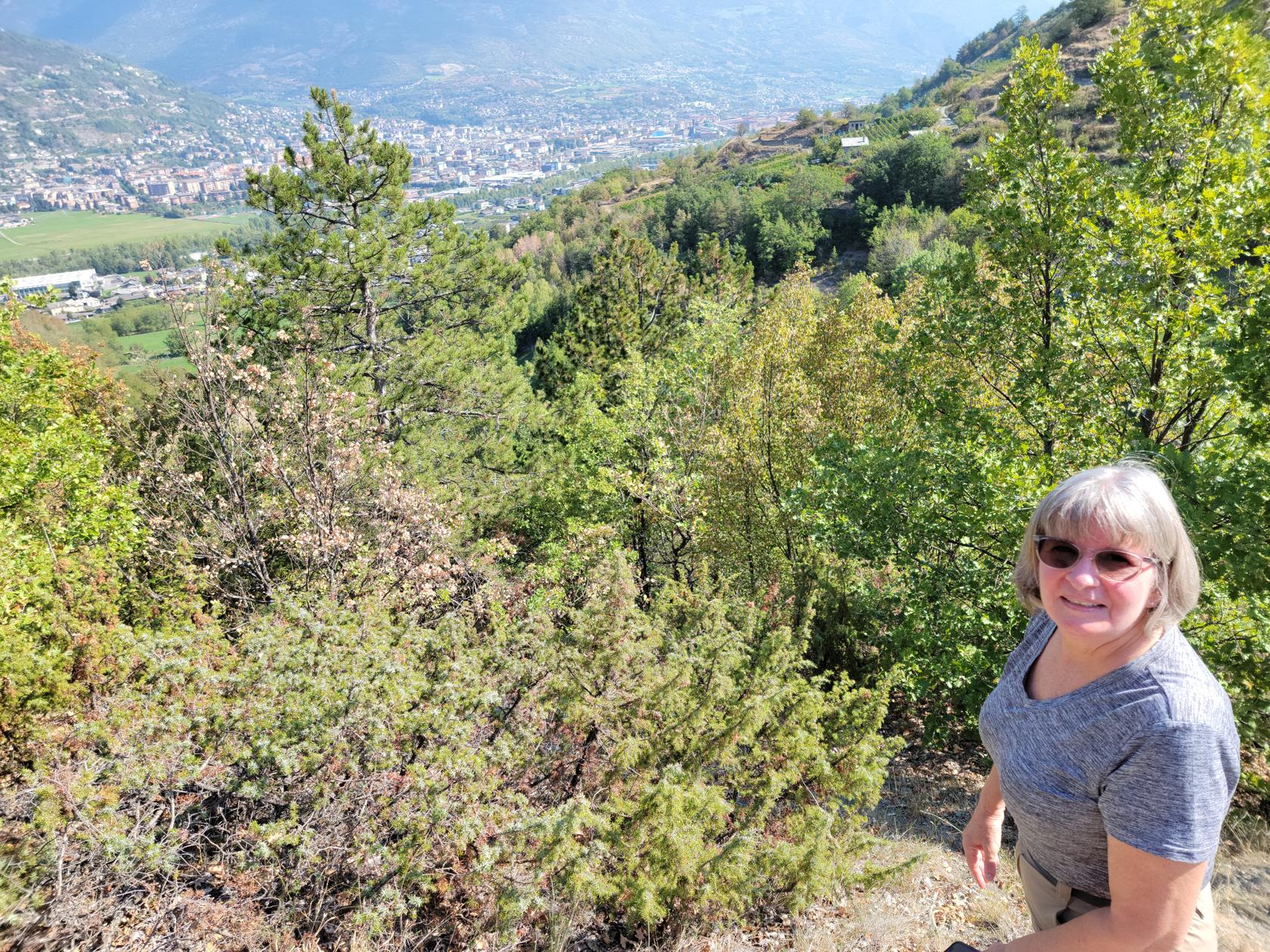
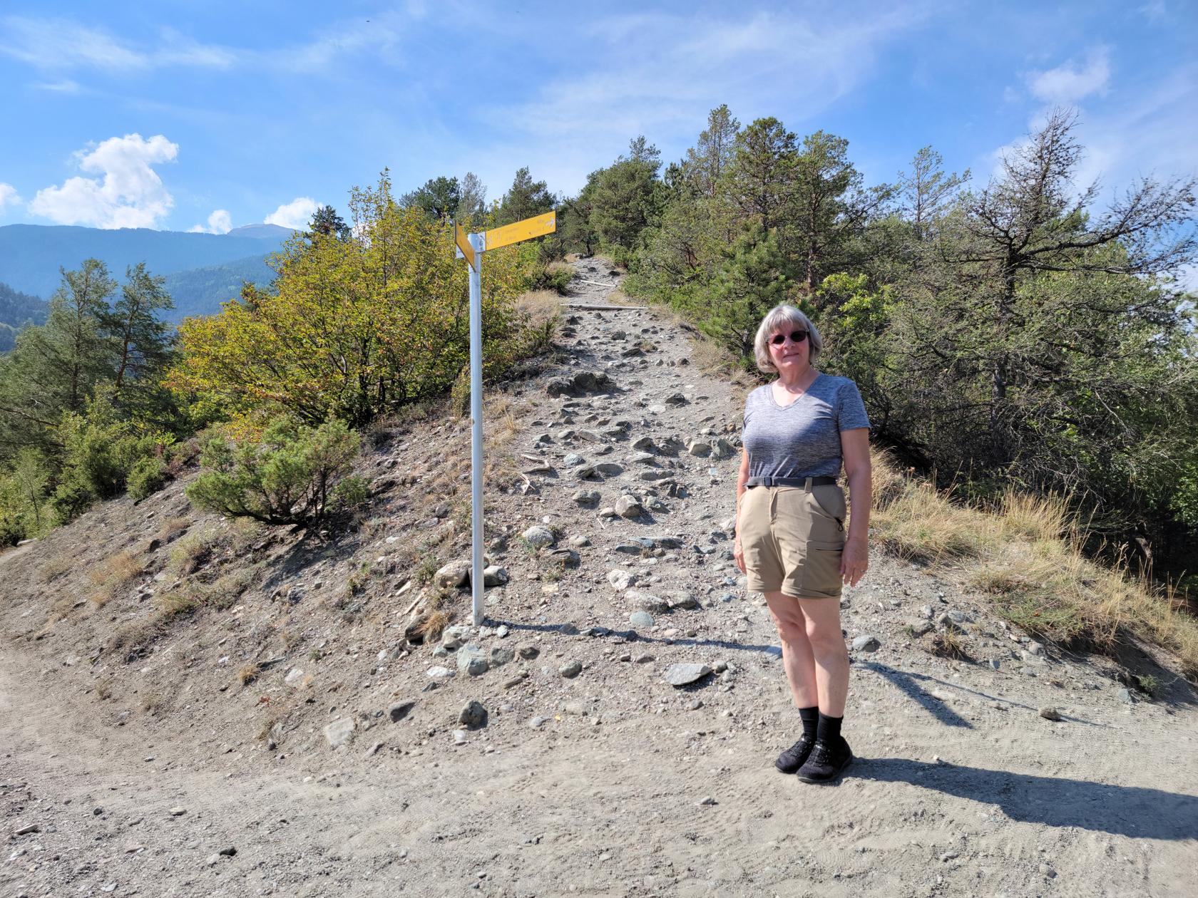
The hill is part of the Riserva Naturale de Gargantua, or Gargantua Nature Preserver, and is some 150m, or 450 feet, in elevation. It has several trails on either side, most of which can be used to ascend and descend it. The one we chose was from the vineyard side to the east, with an approach from where it joins with the mountain. This was slightly easier than a direct approach, since it afforded us the use of the farming roads a third of the way up.
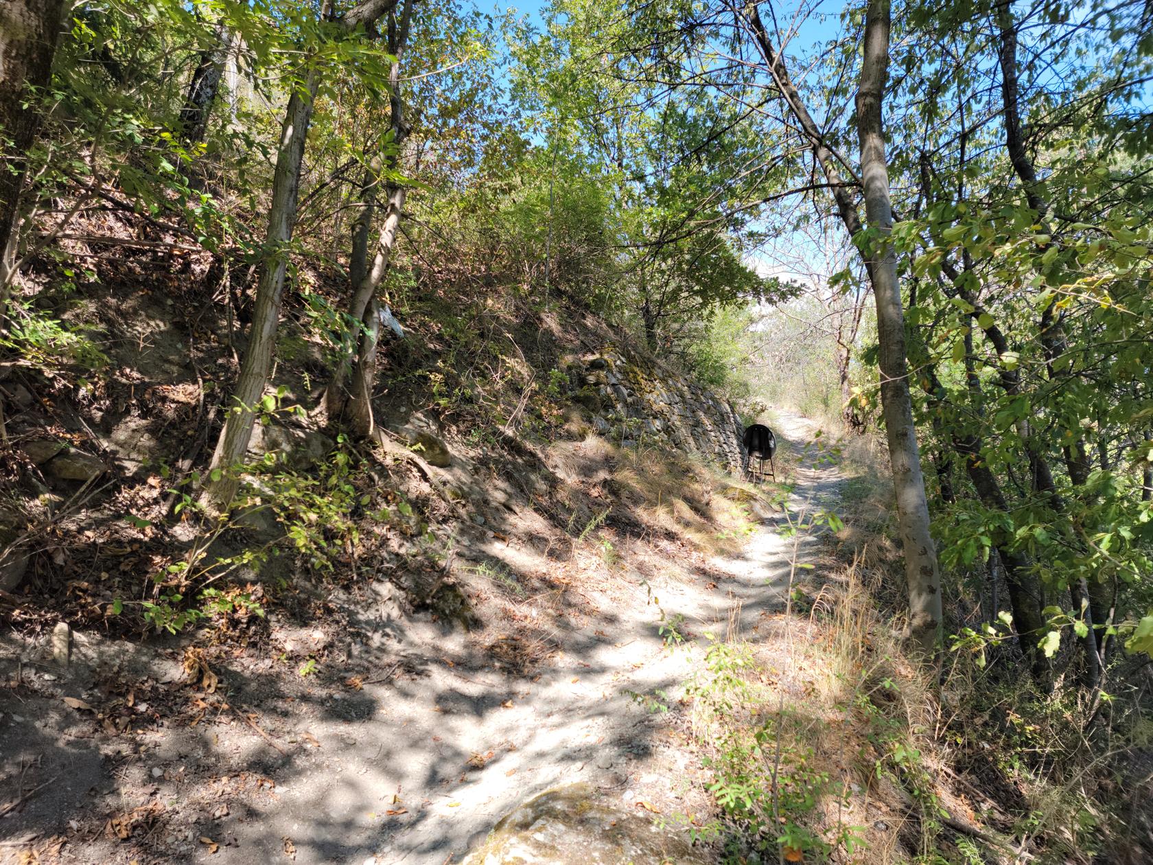
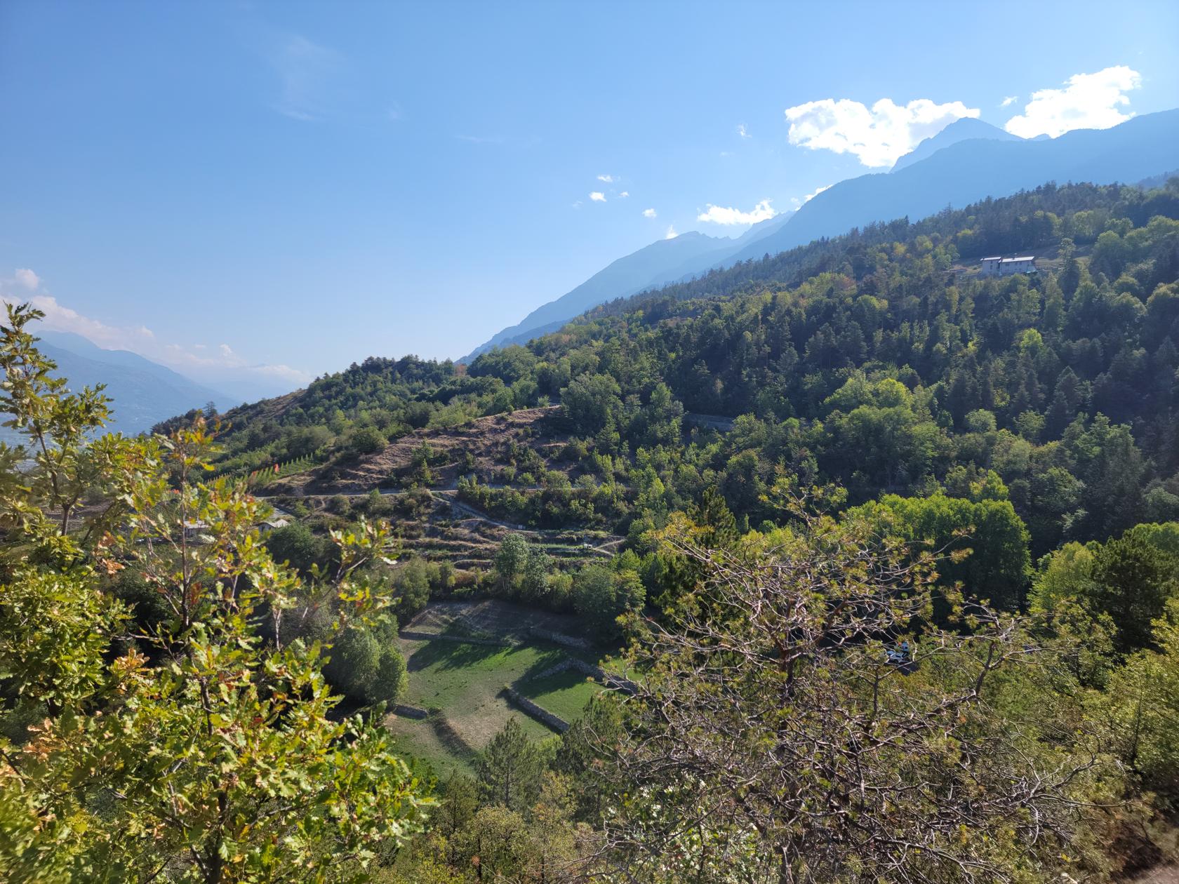
The hill is mostly porous dirt, rocks and stones, therefore it does not hold water very well and was severely dry due to this year’s climatic conditions in Italy. The dirt was very loose and without proper foot gear, one could easily slip in it.
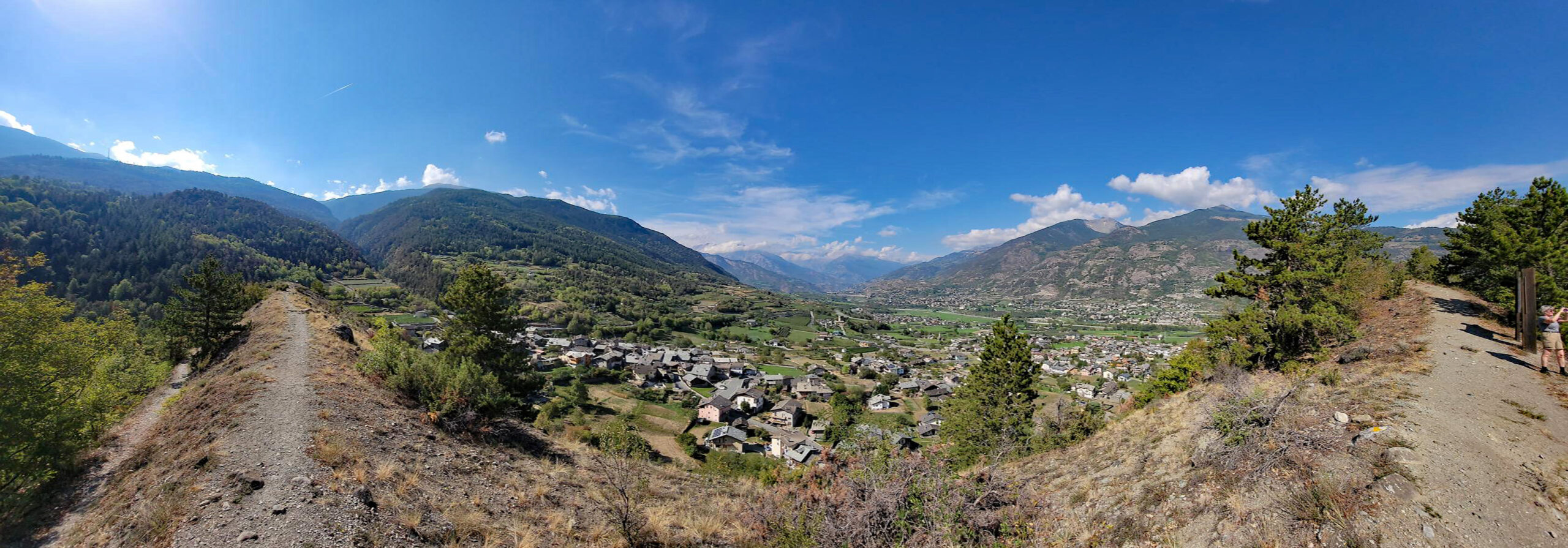
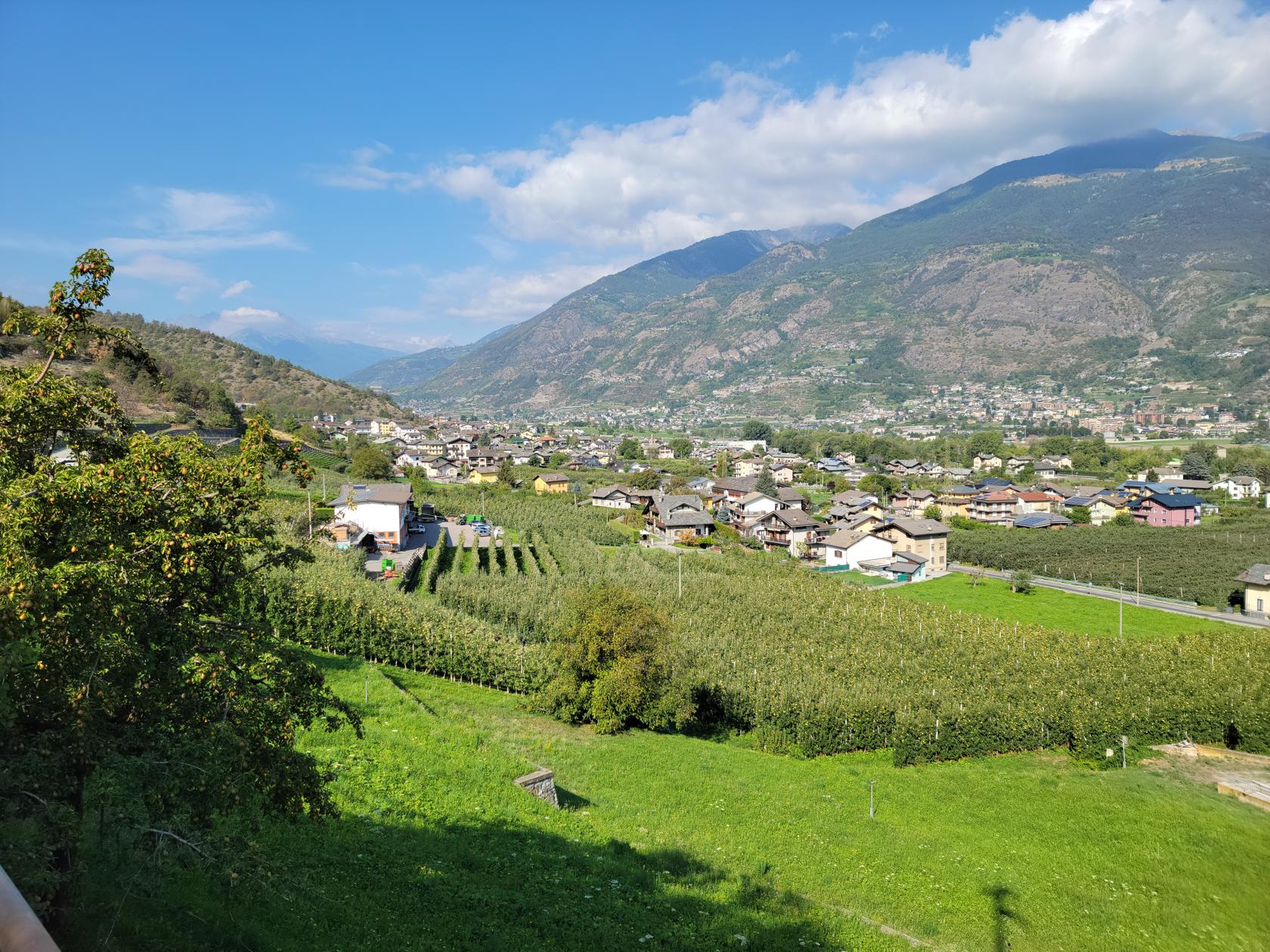
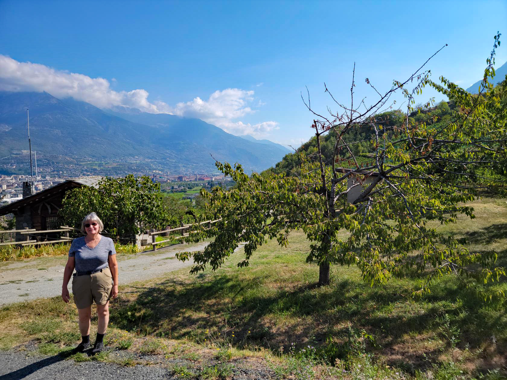
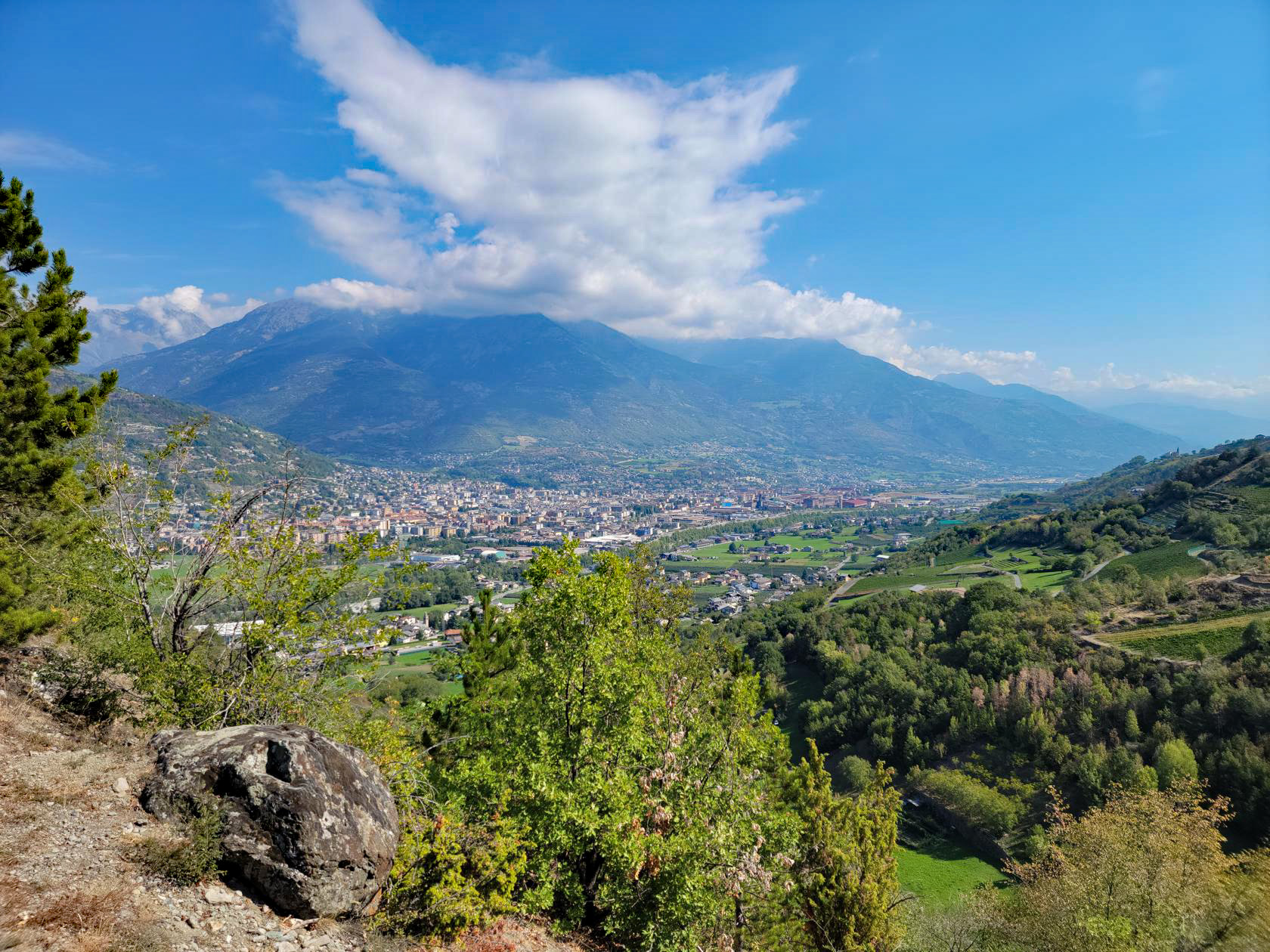
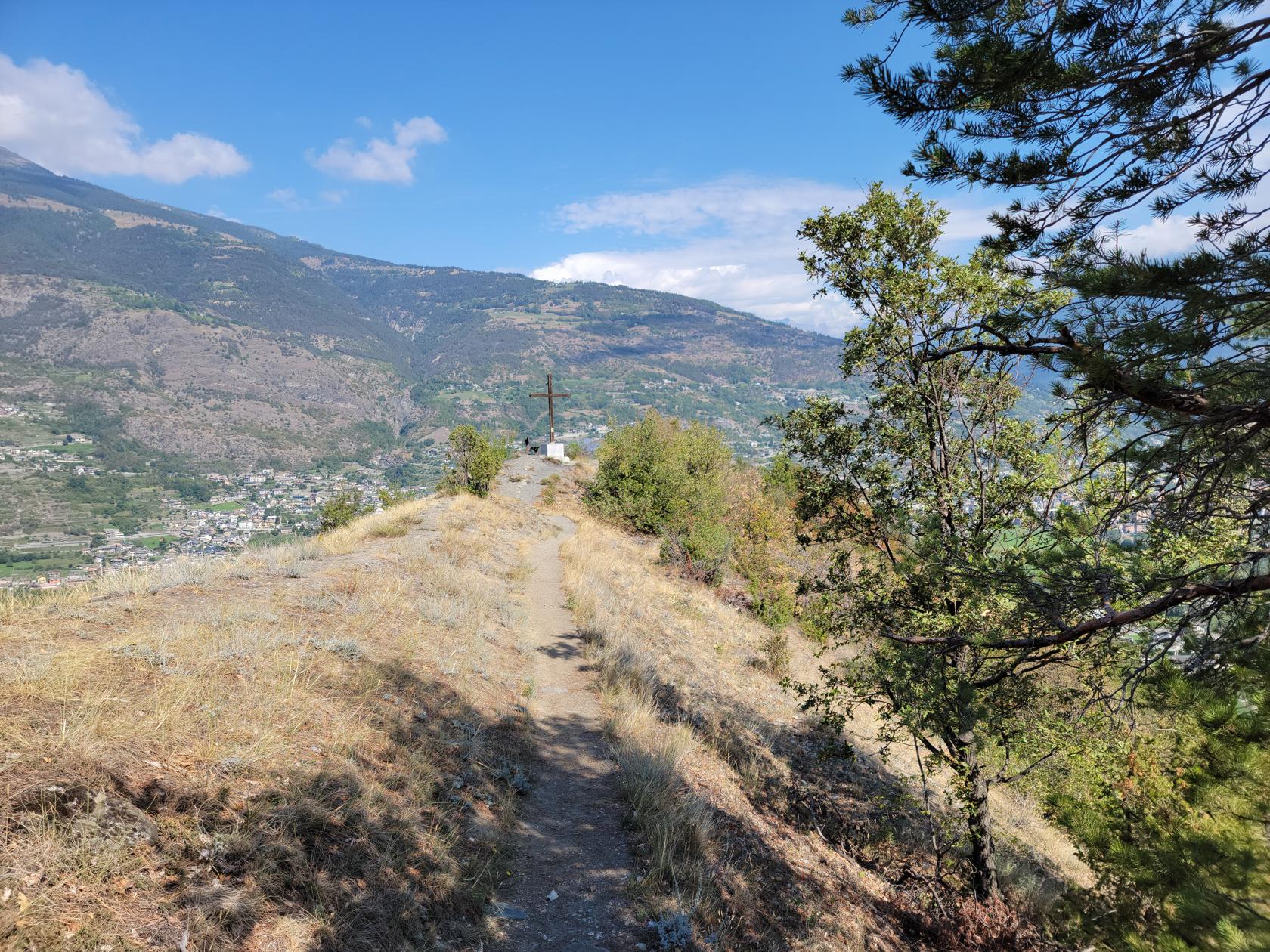
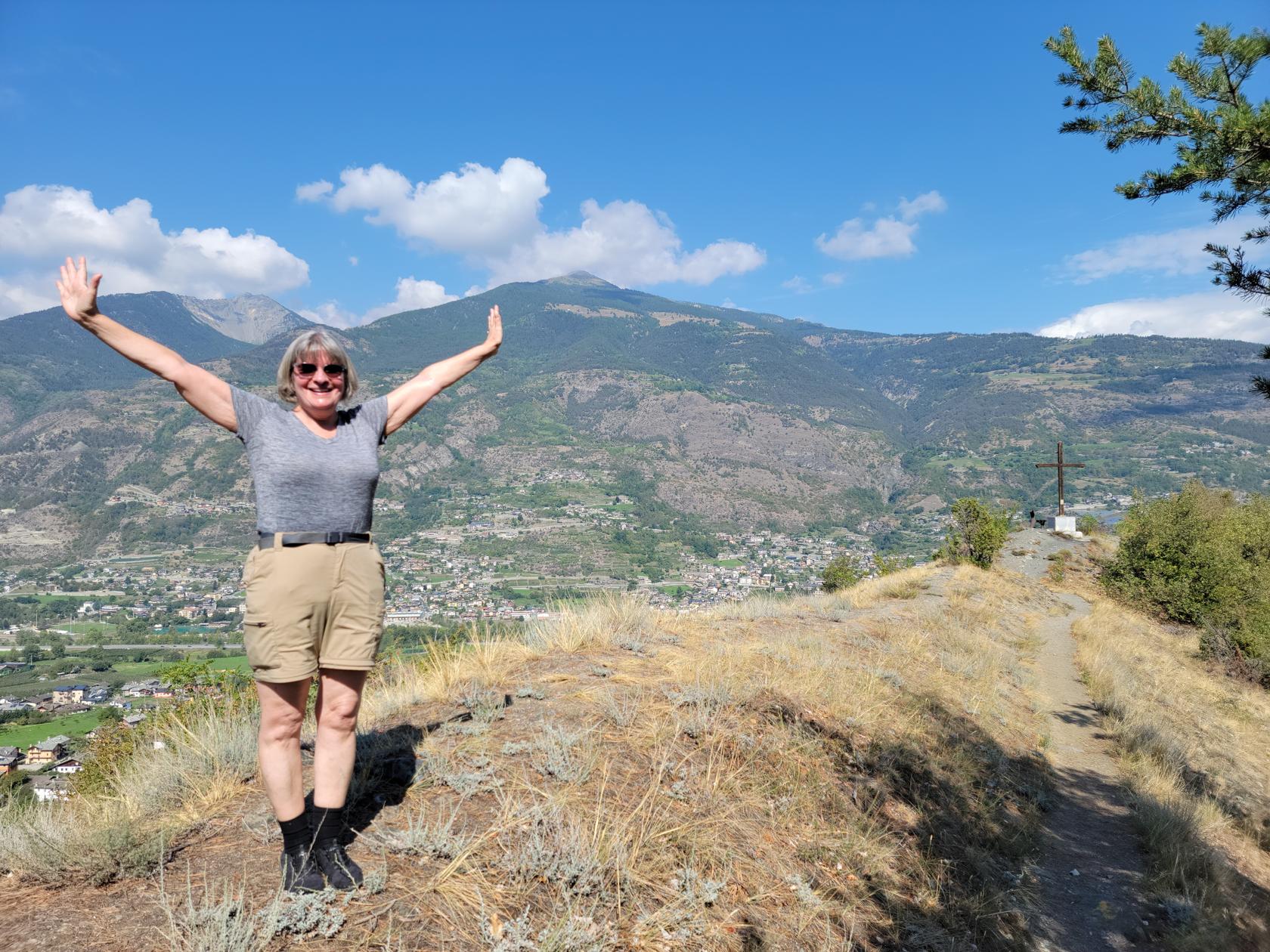
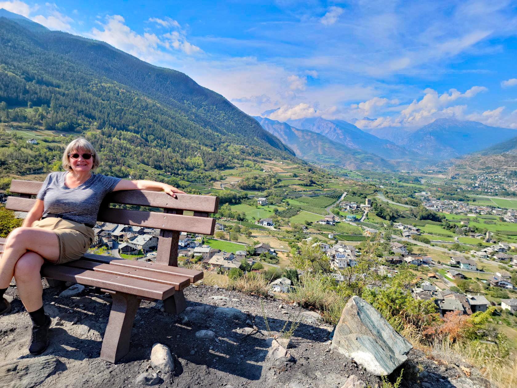
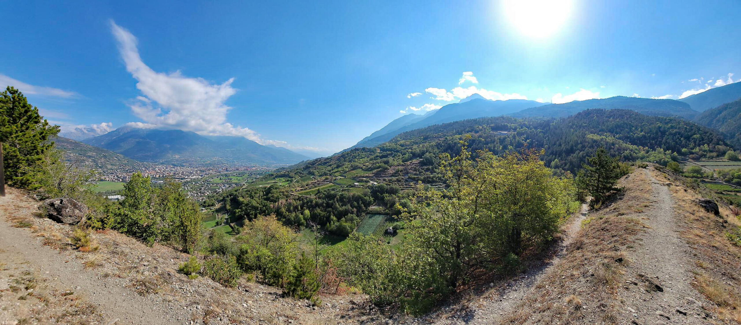
The summit provides impressive views of the entire Aosta Valley, with an excellent view of Aosta to the east.
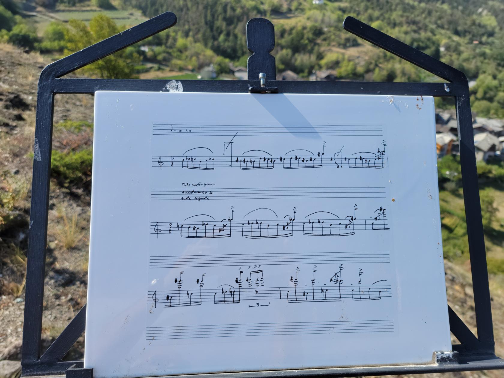
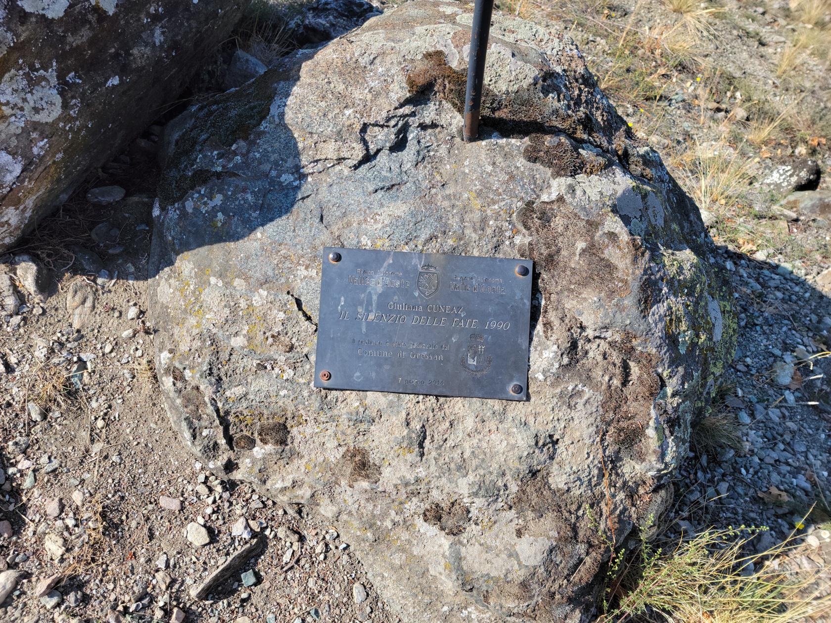
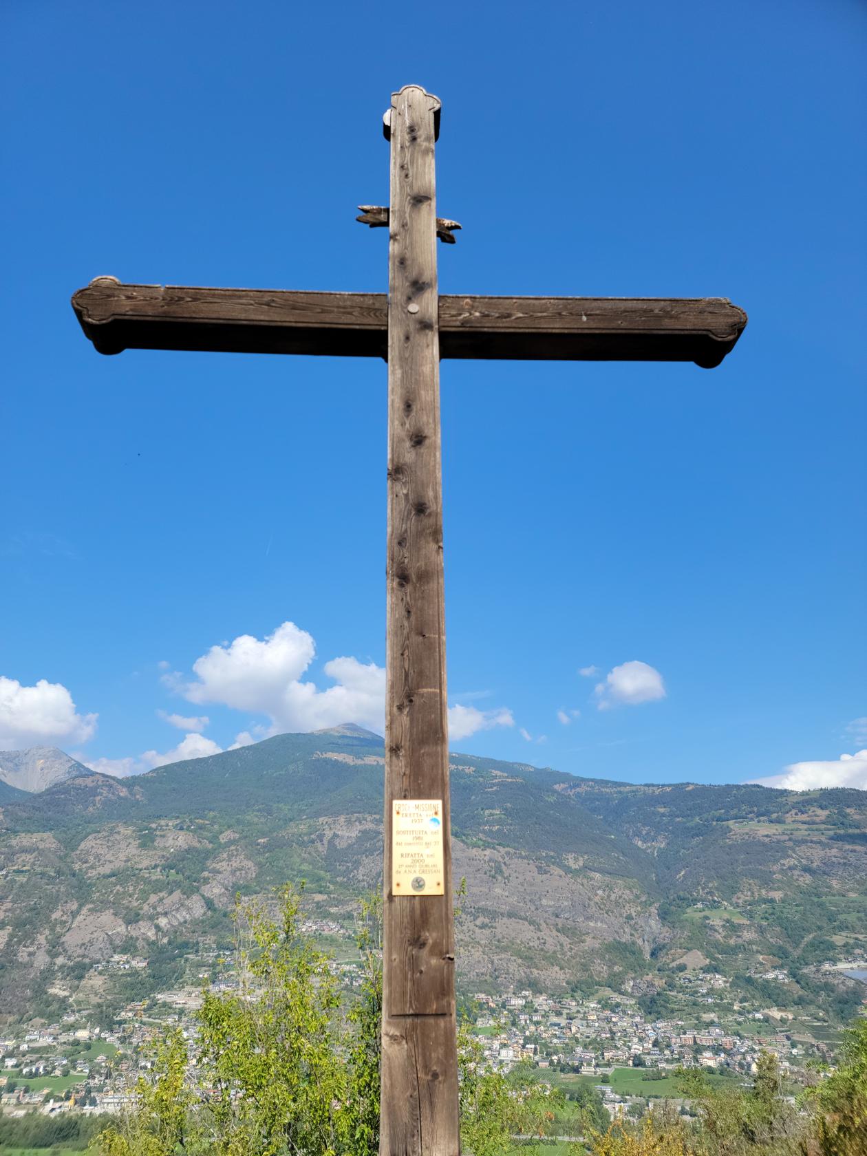
There are also several monuments and other artifacts on the top, including a score of music, a cross and some signs (which I did not translate).
The hike down was a bit more interesting than the ascent, since it was from the end of the hill that sticks out into the valley. Therefore, it was a bit steeper and more treacherous. There were several places that we had to be careful, but luckily there were always enough rocks on which we could purchase a grip.
That does it for our day hike in Aosta. In all, it totaled about 7.5 miles and some 450ft in ascent and descent, and about three and a half hours to hike. We went straight to a restaurant, since we had been out since 9:30AM and did not want the restaurants closing while we were dropping our things off at the hotel. All in all, a very gratifying September day of hiking in Aosta. Go Hike!
References
| ↑1 | Though technically any heap of rock and dirt may be called a hill, this is actually a glacial moraine, deposited thousands of years ago when the glaciers from the last Ice Age left this valley. |
|---|