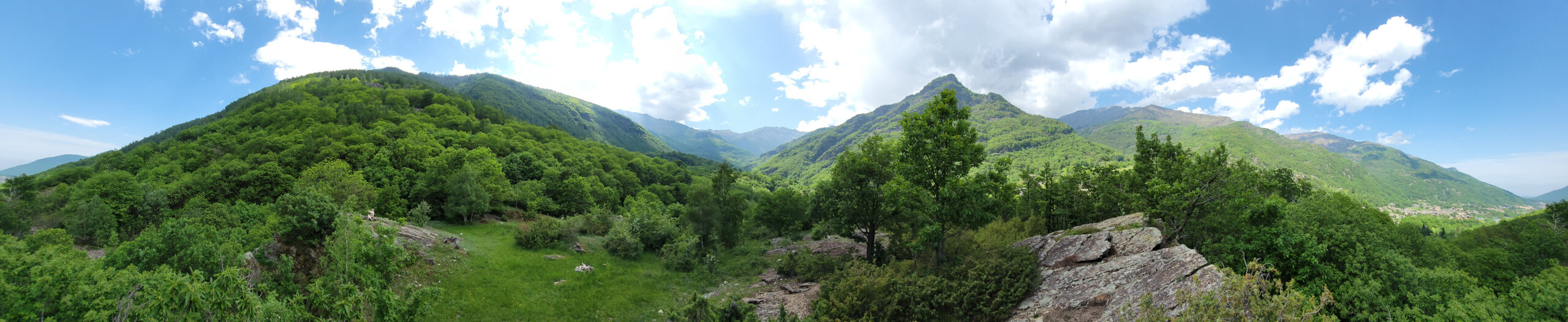
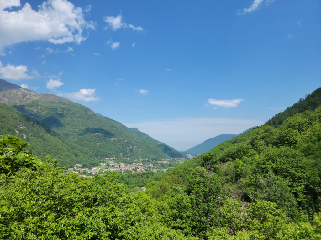
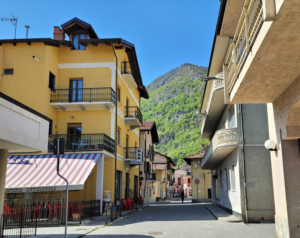
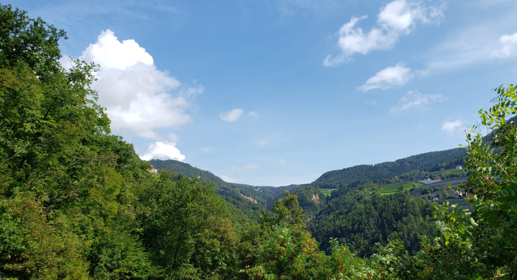
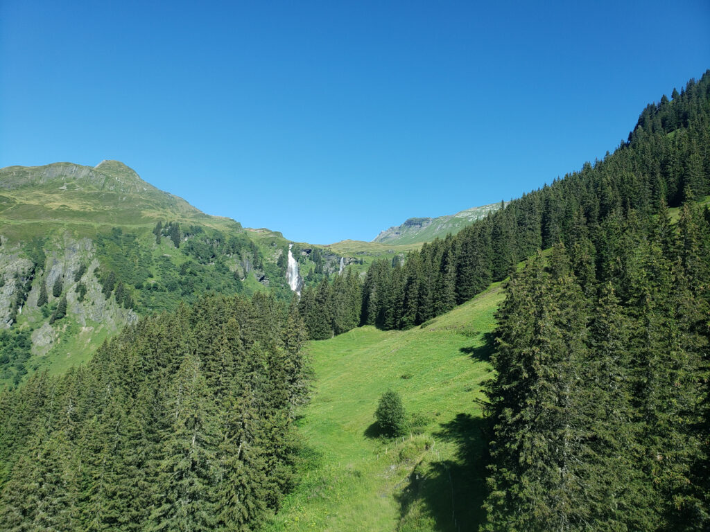
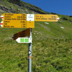
Malpertus to Bobbio Pellice – Beautiful Overlook – Another Panorama
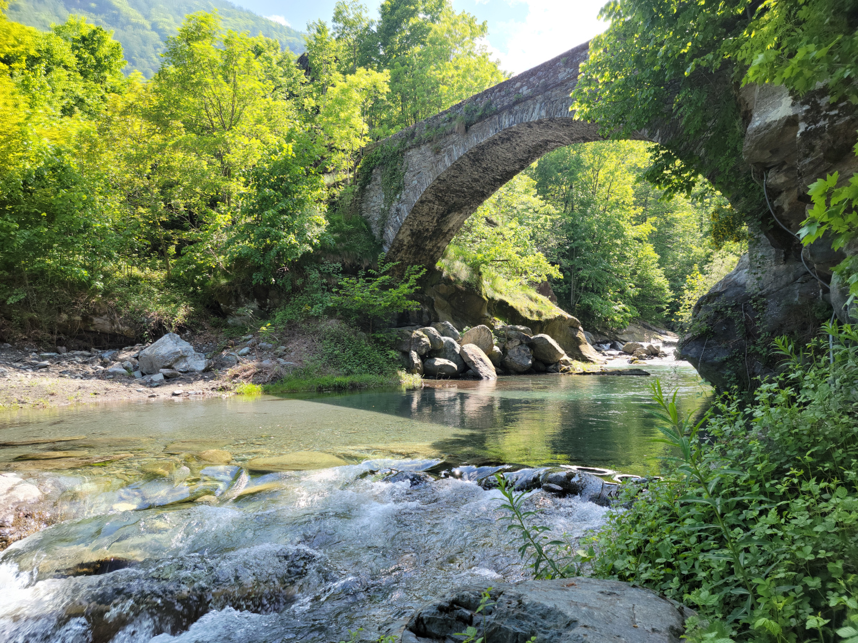
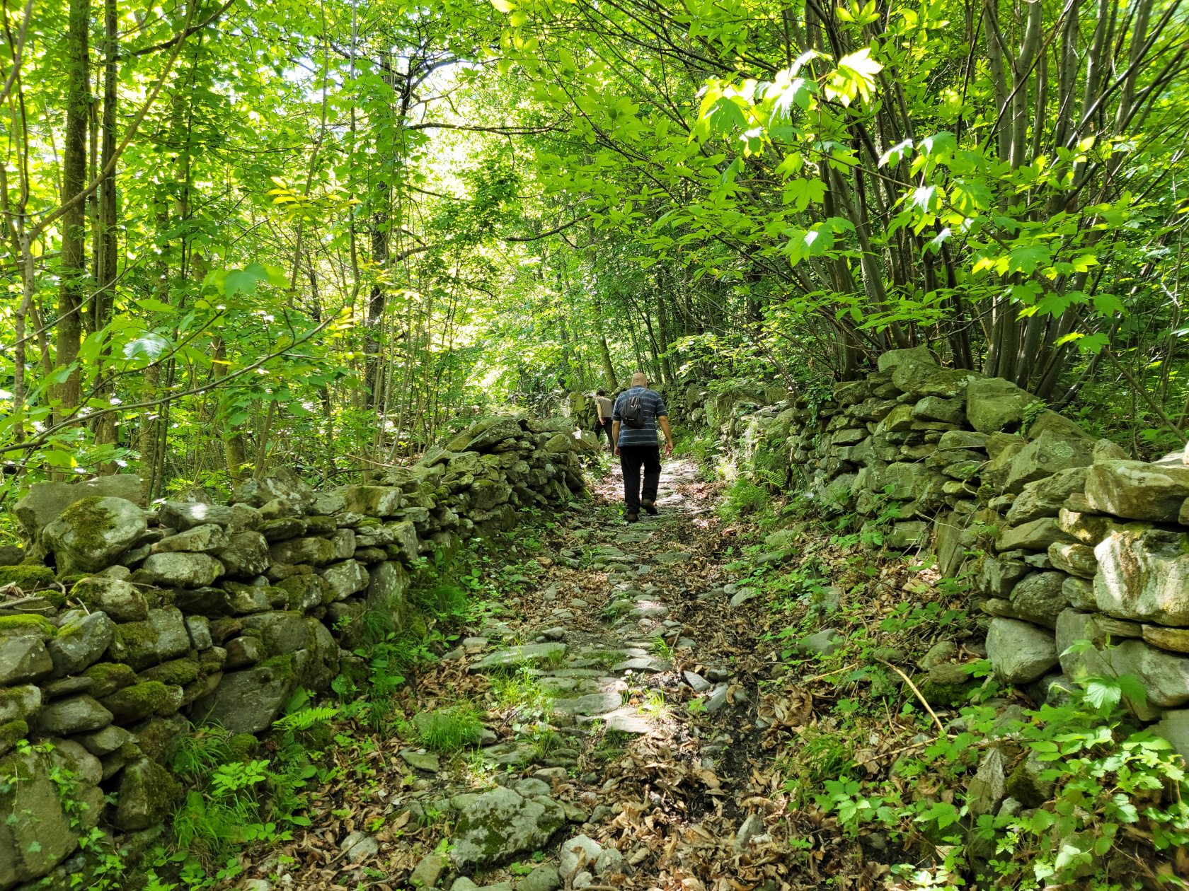
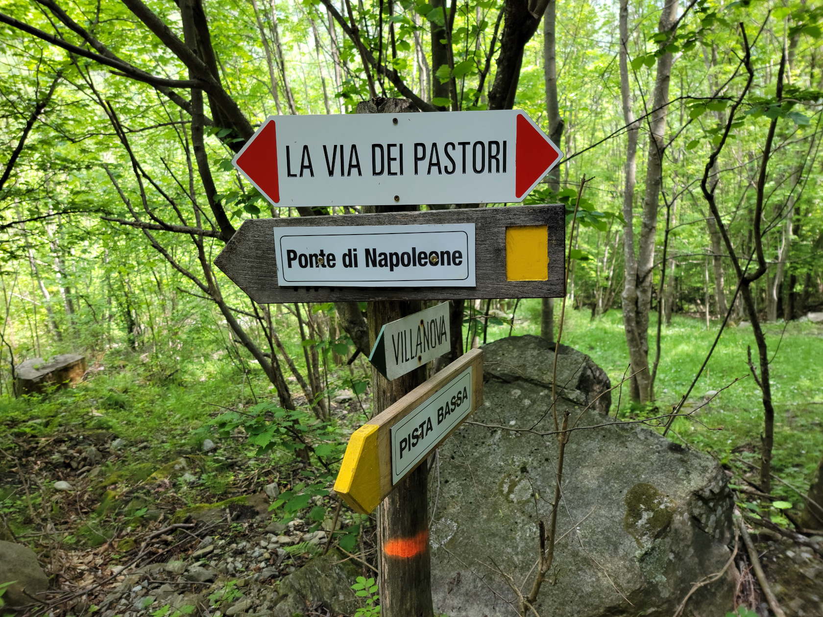
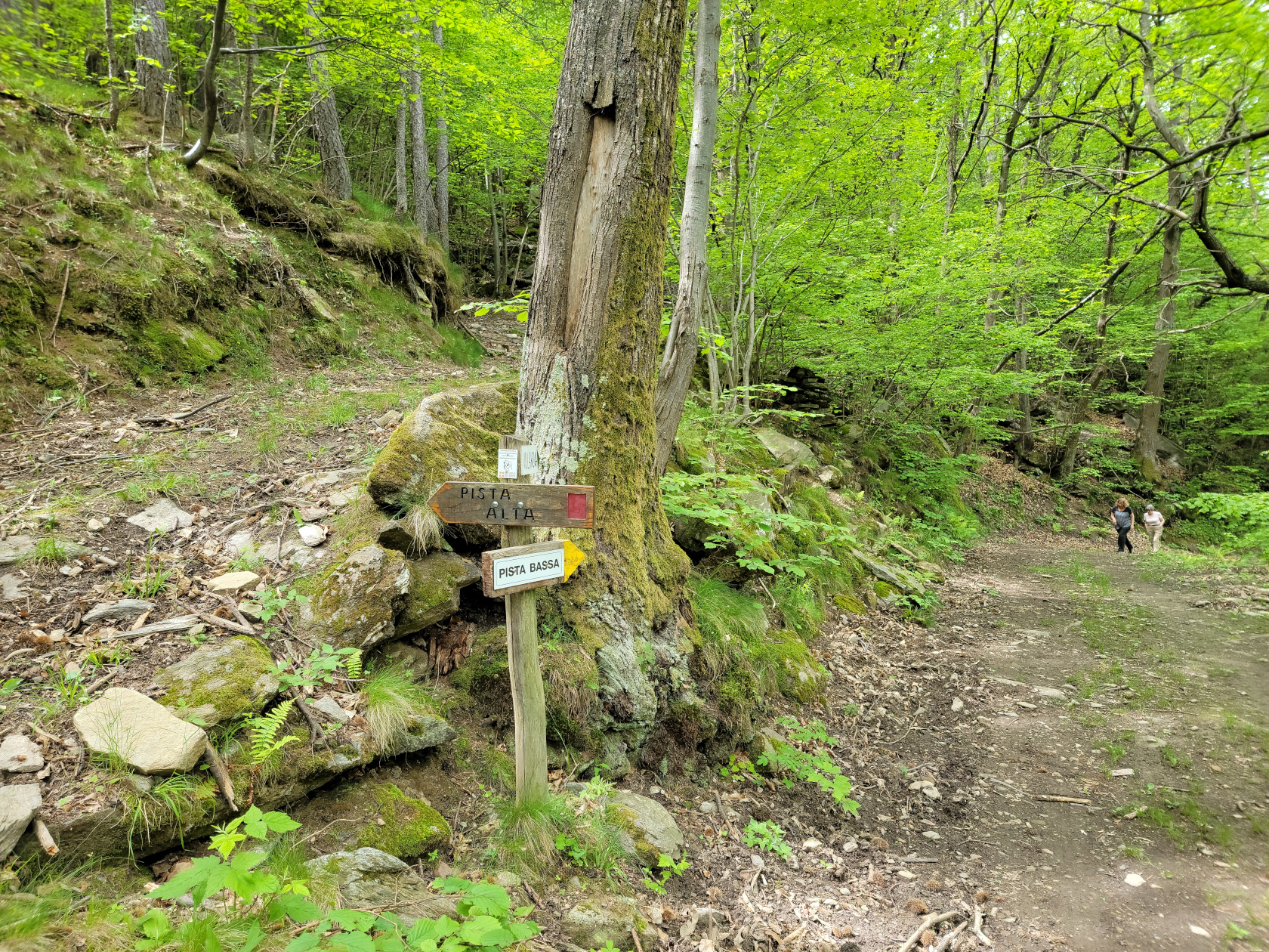
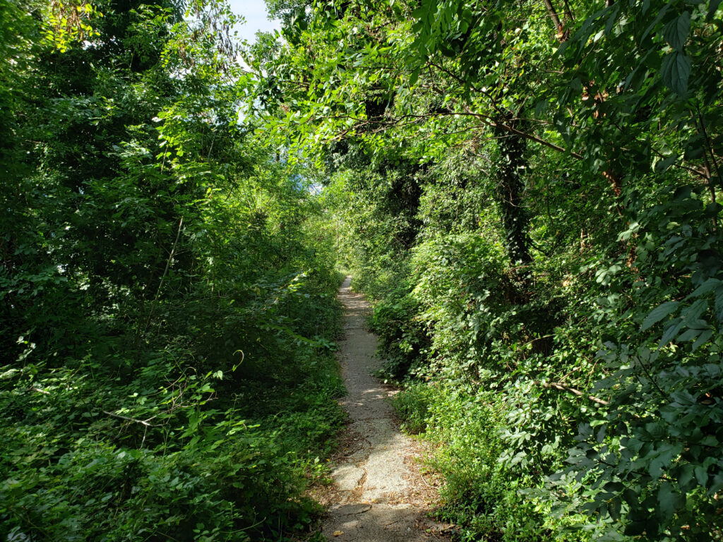
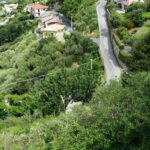
This is just a quick post to document our first local hike from Malpertus to the closest town, Bobbio Pellice. As already mentioned in a previous post, there is a number of trails around that you can hike. The one we chose to go into town, is the same one that goes across Napolean’s Bridge just outside our Borgata and is called the Pista Bassa.
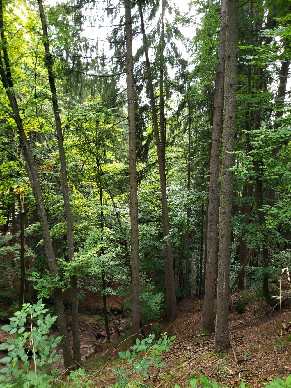
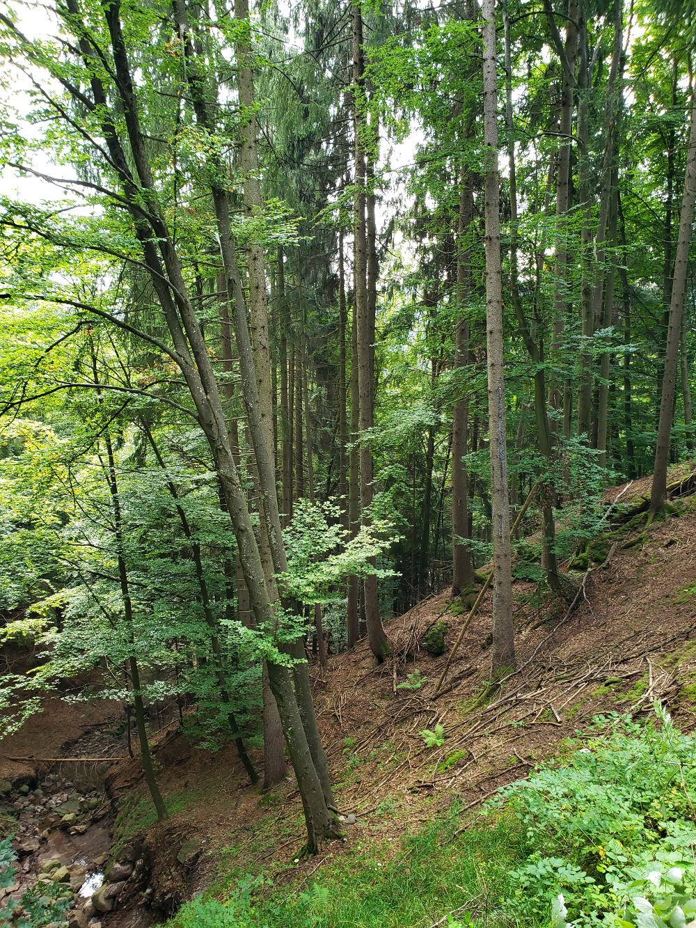
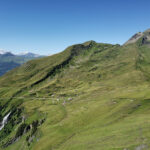
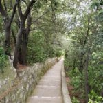
Once over the bridge the trail ascends quickly and then flattens out and appears to be used often by local farmers, since there are clear signs of tractor use. Since I want to keep this short, here are a few slide shows for the points of interest.
The Pista Bassa Hike
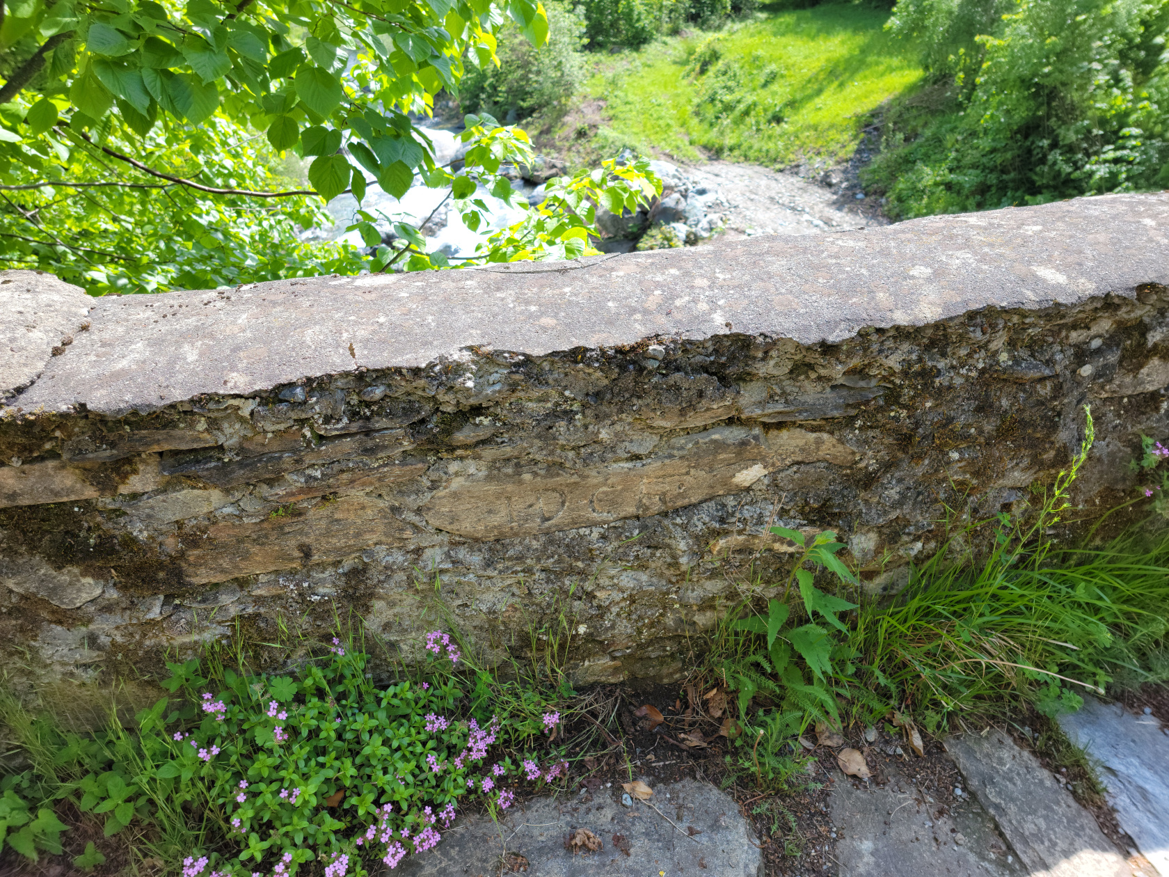
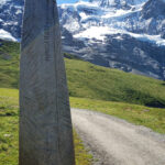
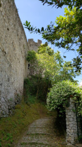
Malpertus to Bobbio Pellice – Napolean’s Bridge
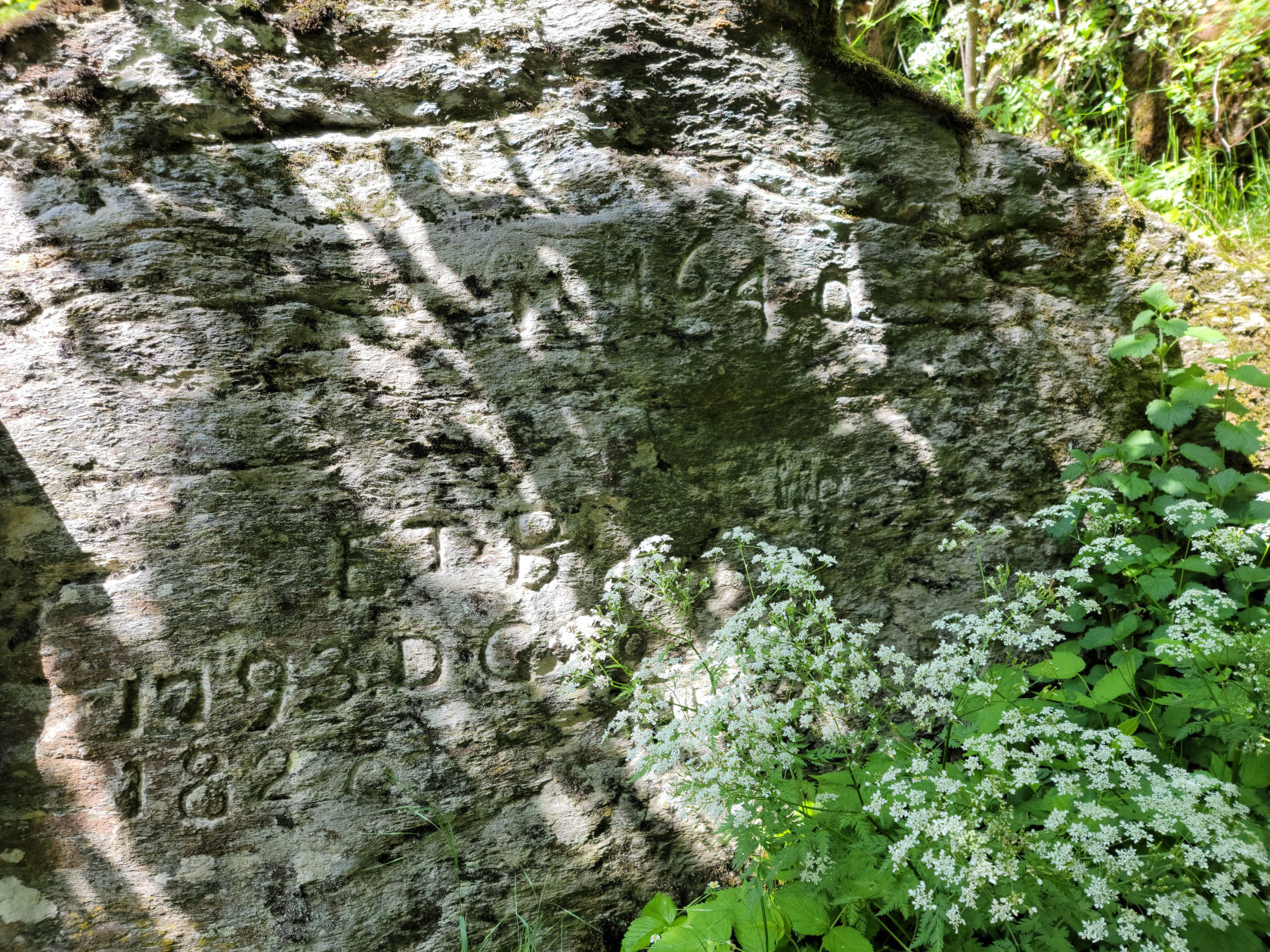
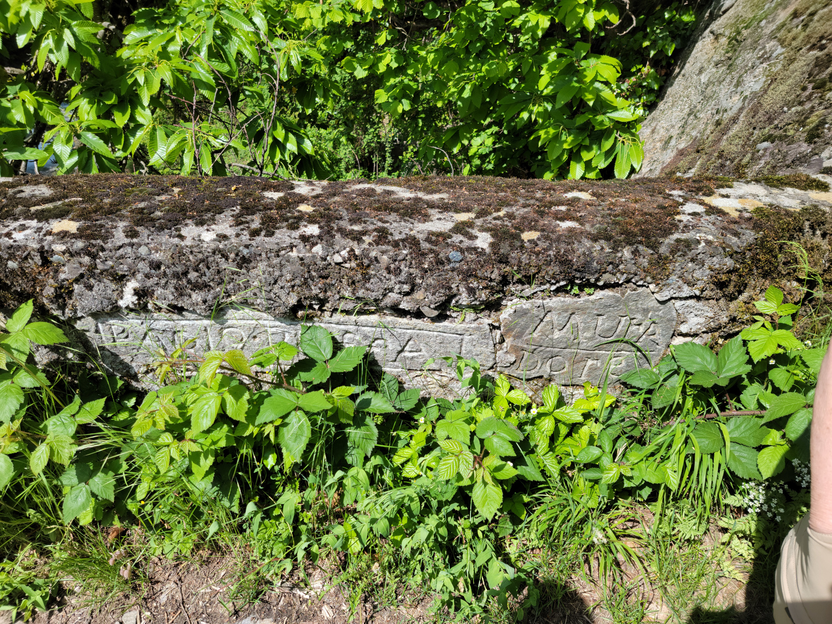
Malpertus to Bobbio Pellice – Napolean’s Bridge – circa 1640 and other dates
Malpertus to Bobbio Pellice – Napolean’s Bridge – more dates
Malpertus to Bobbio Pellice – Napolean’s Bridge – even more dates
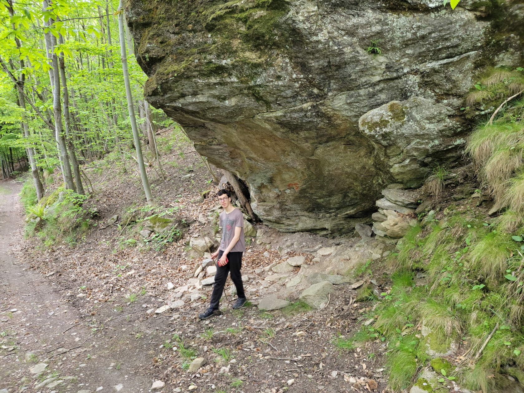
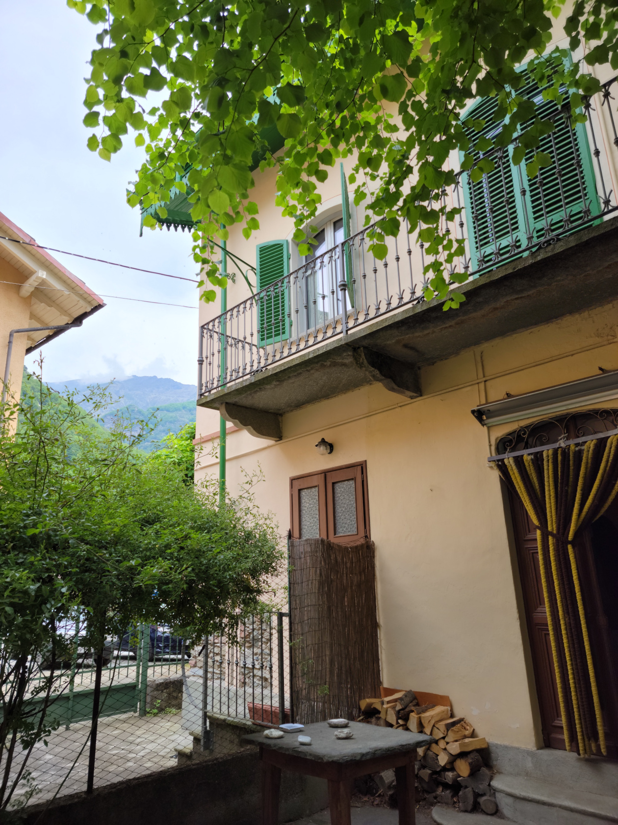
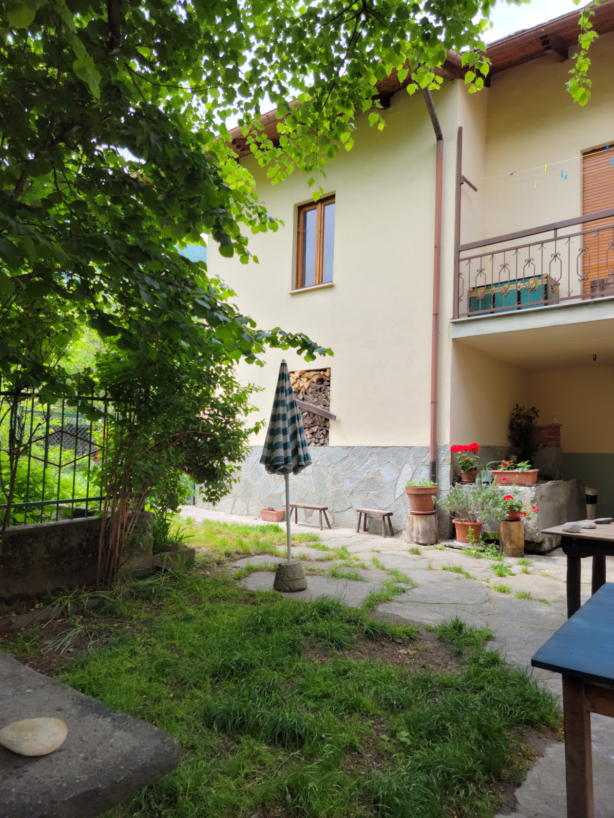
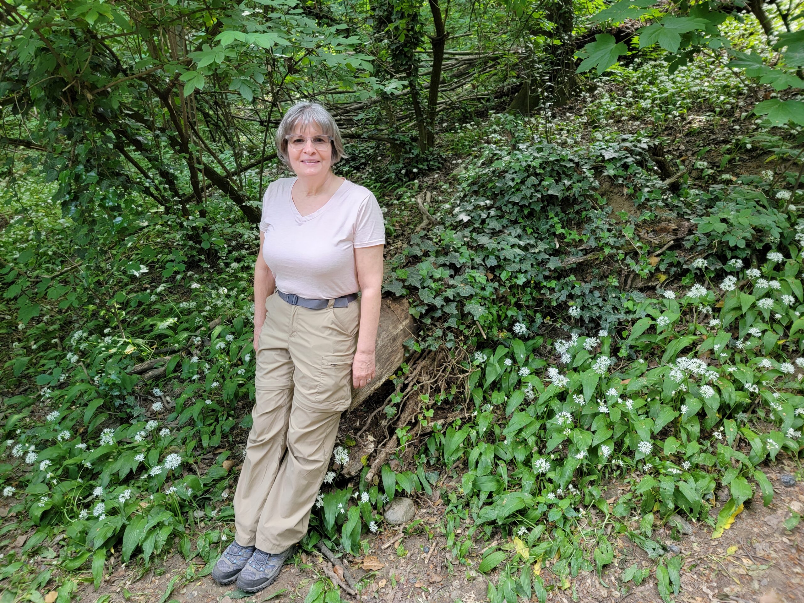
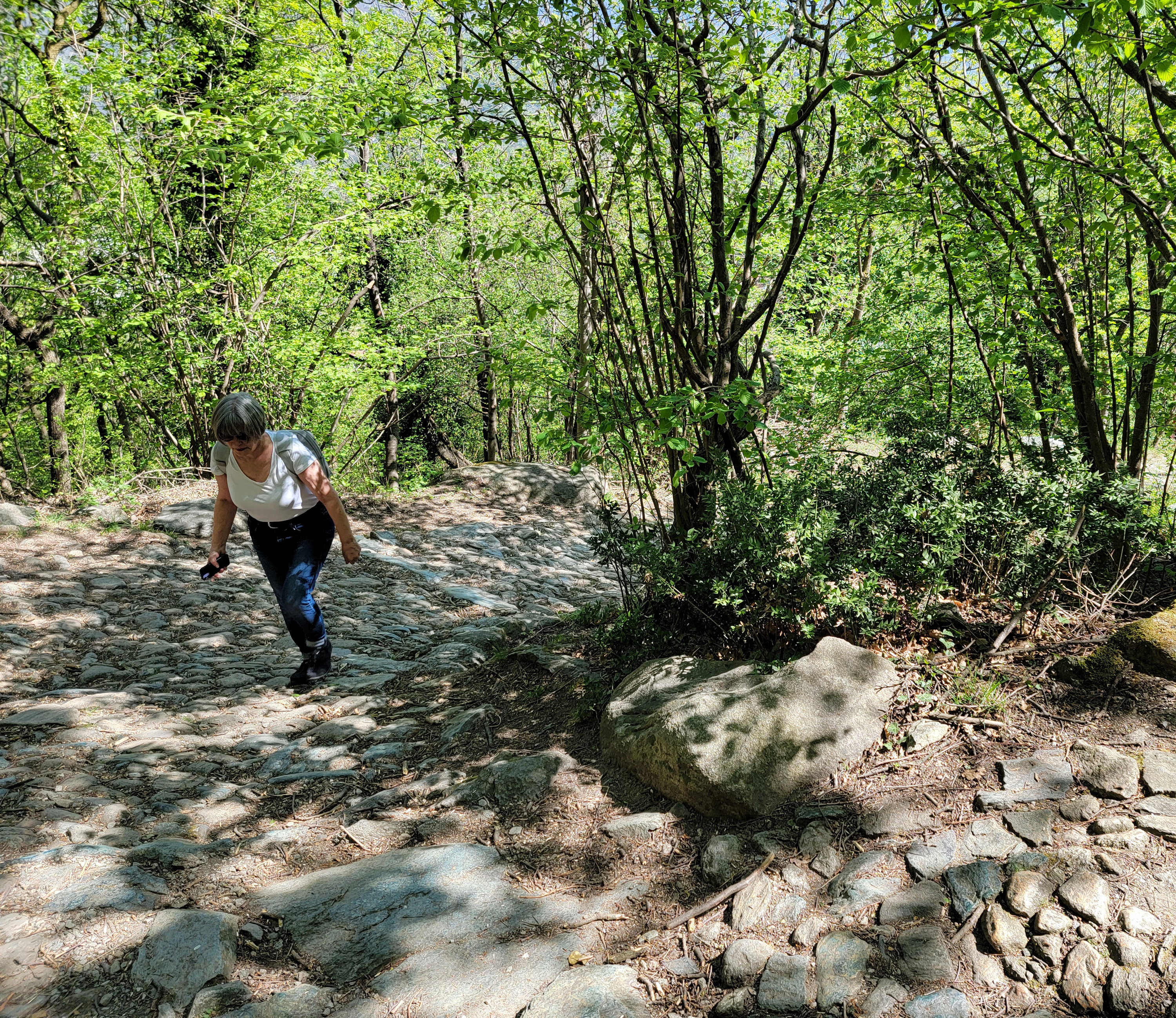
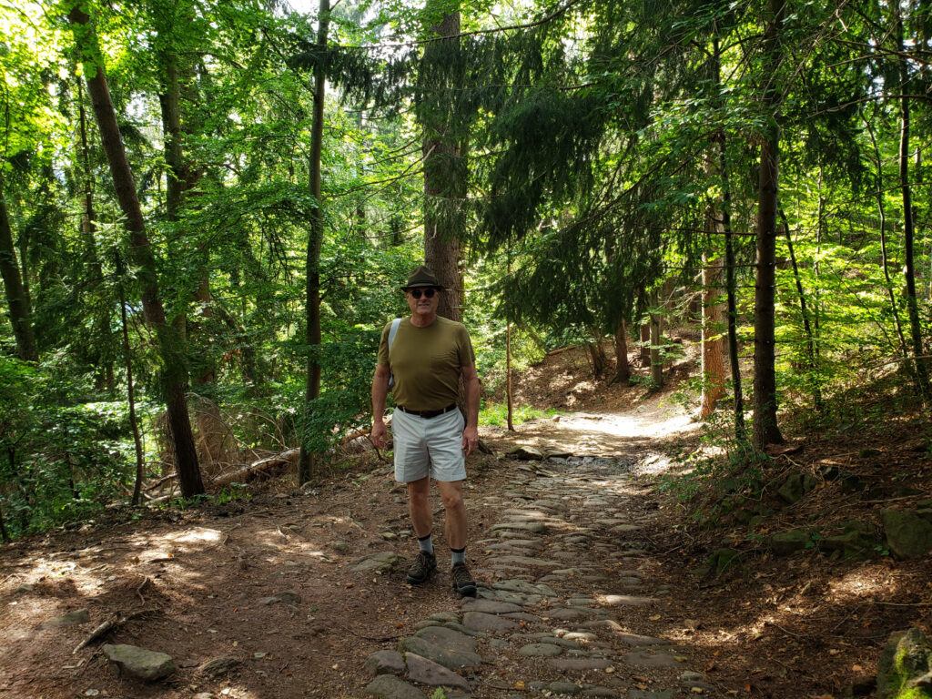
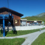
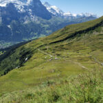
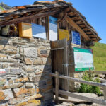
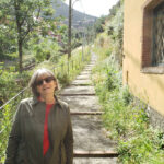
Malpertus to Bobbio Pellice – Hiking the Pista Bassa – Our Host Sam out front
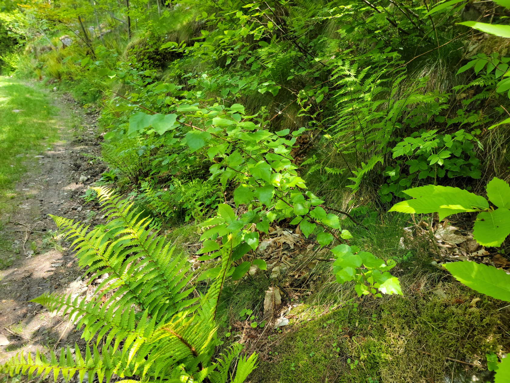
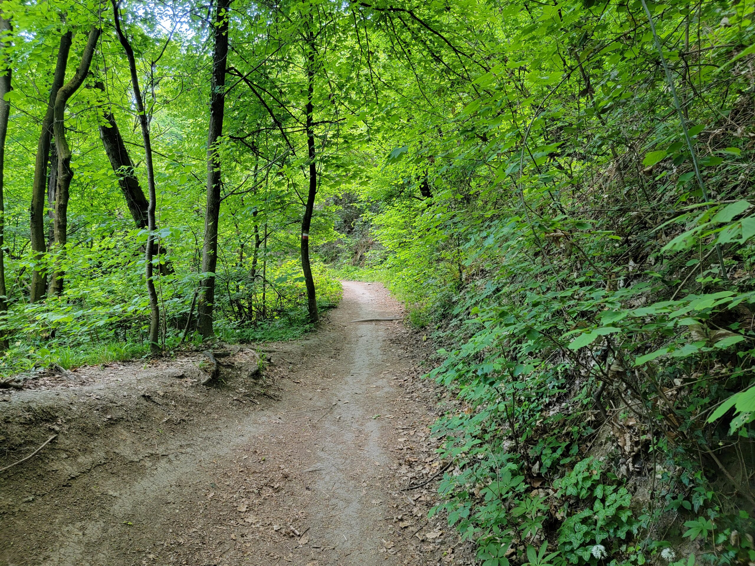
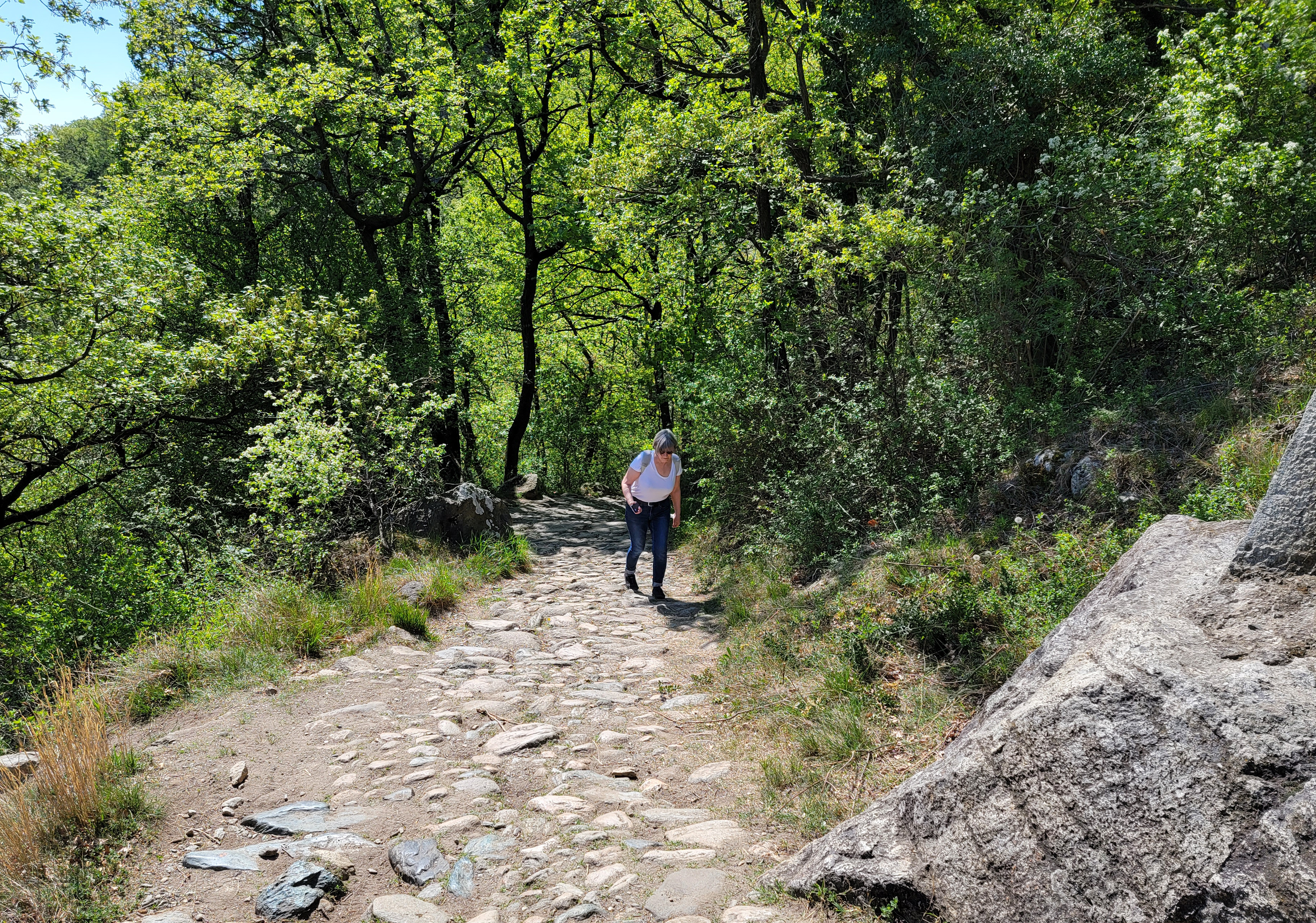
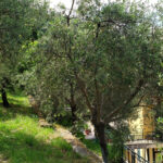
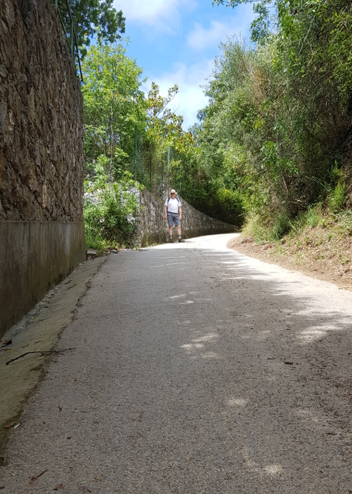
Malpertus to Bobbio Pellice – Hiking the Pista Bassa
Malpertus to Bobbio Pellice – Hiking the Pista Bassa
Malpertus to Bobbio Pellice – Hiking the Pista Bassa – Terrace
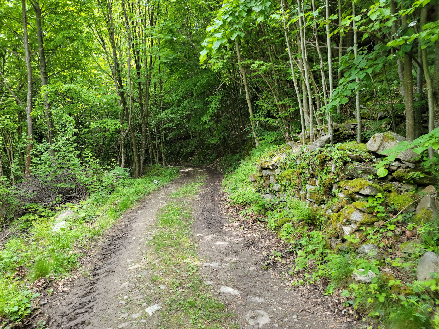
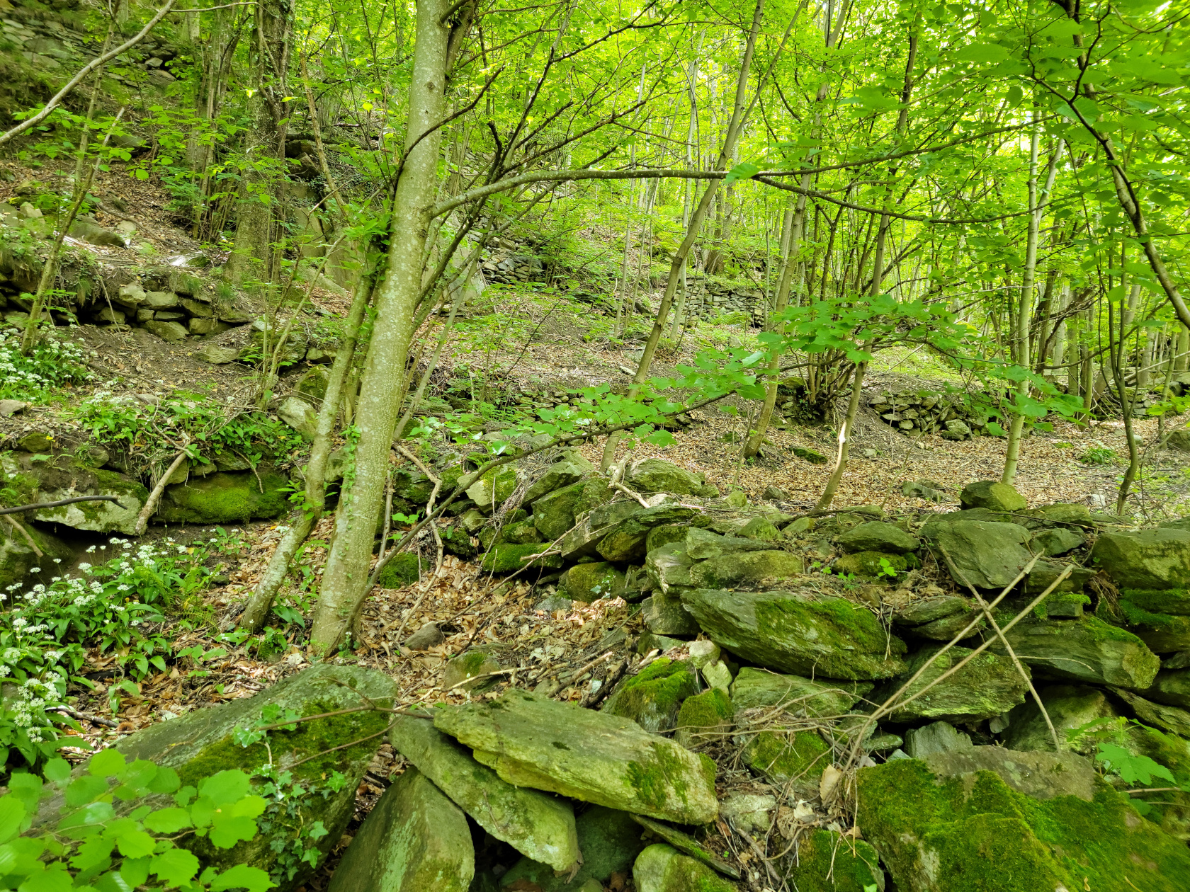
Malpertus to Bobbio Pellice – Hiking the Pista Bassa – Old Terraces
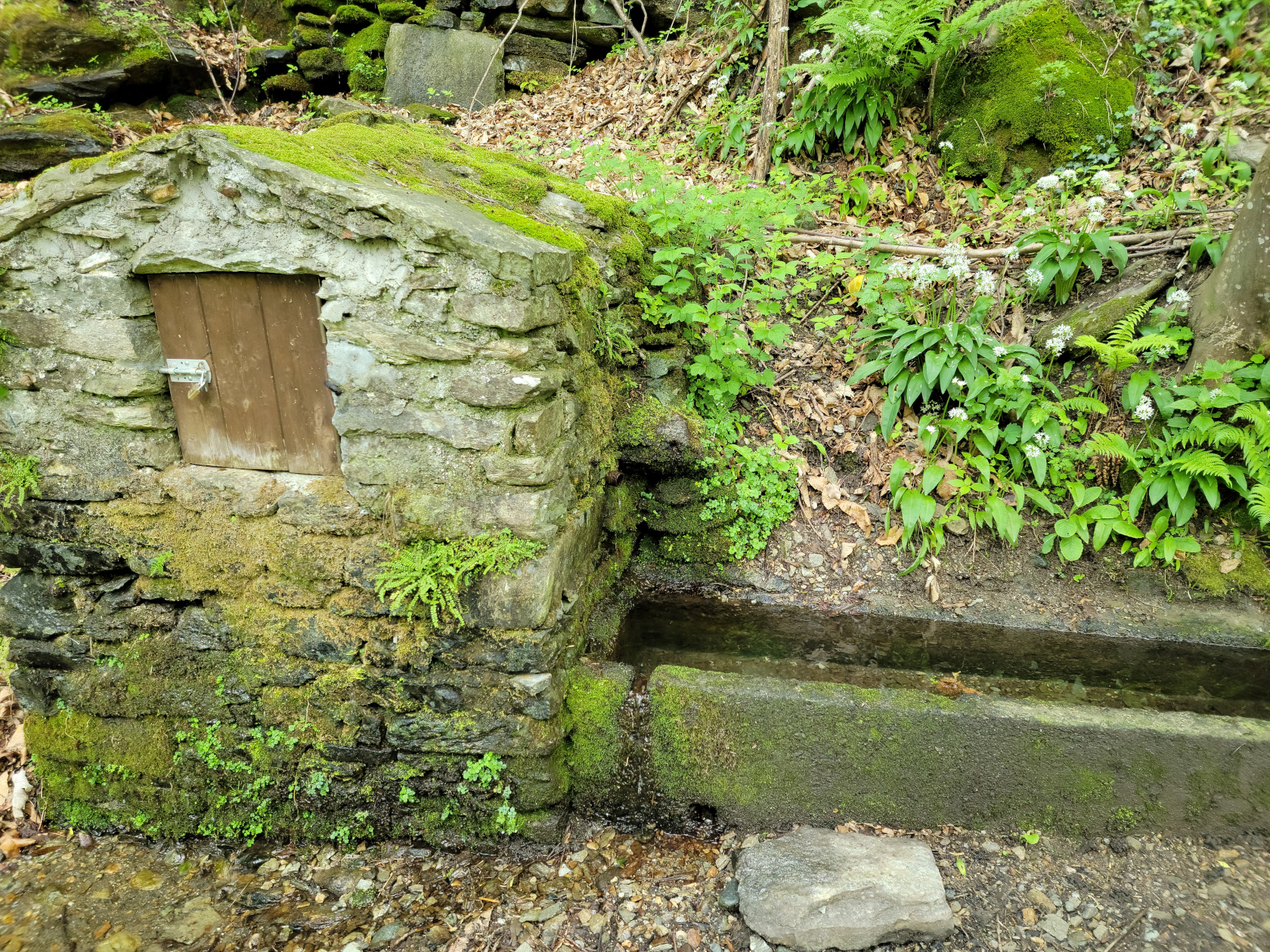
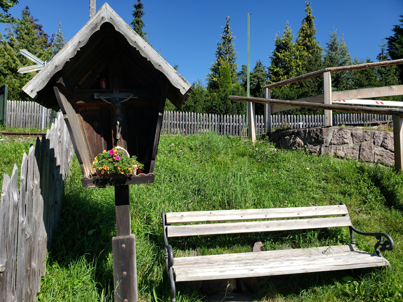
Malpertus to Bobbio Pellice – Hiking the Pista Bassa – Borgata’s Main Water Source
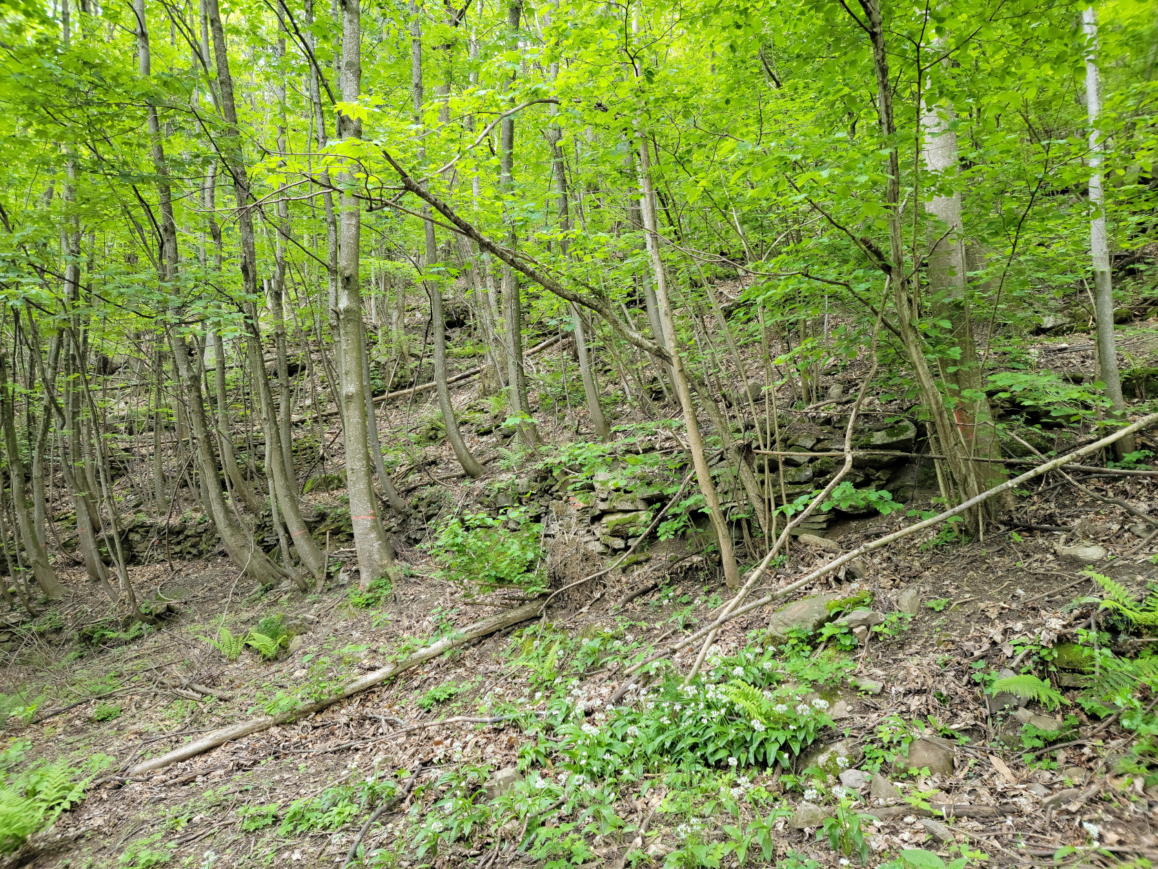
Malpertus to Bobbio Pellice – Hiking the Pista Bassa
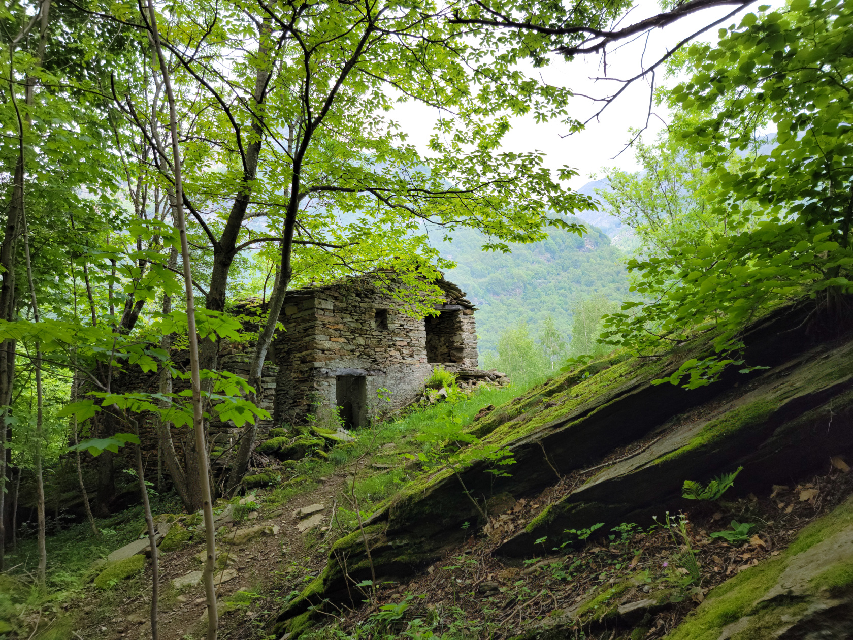
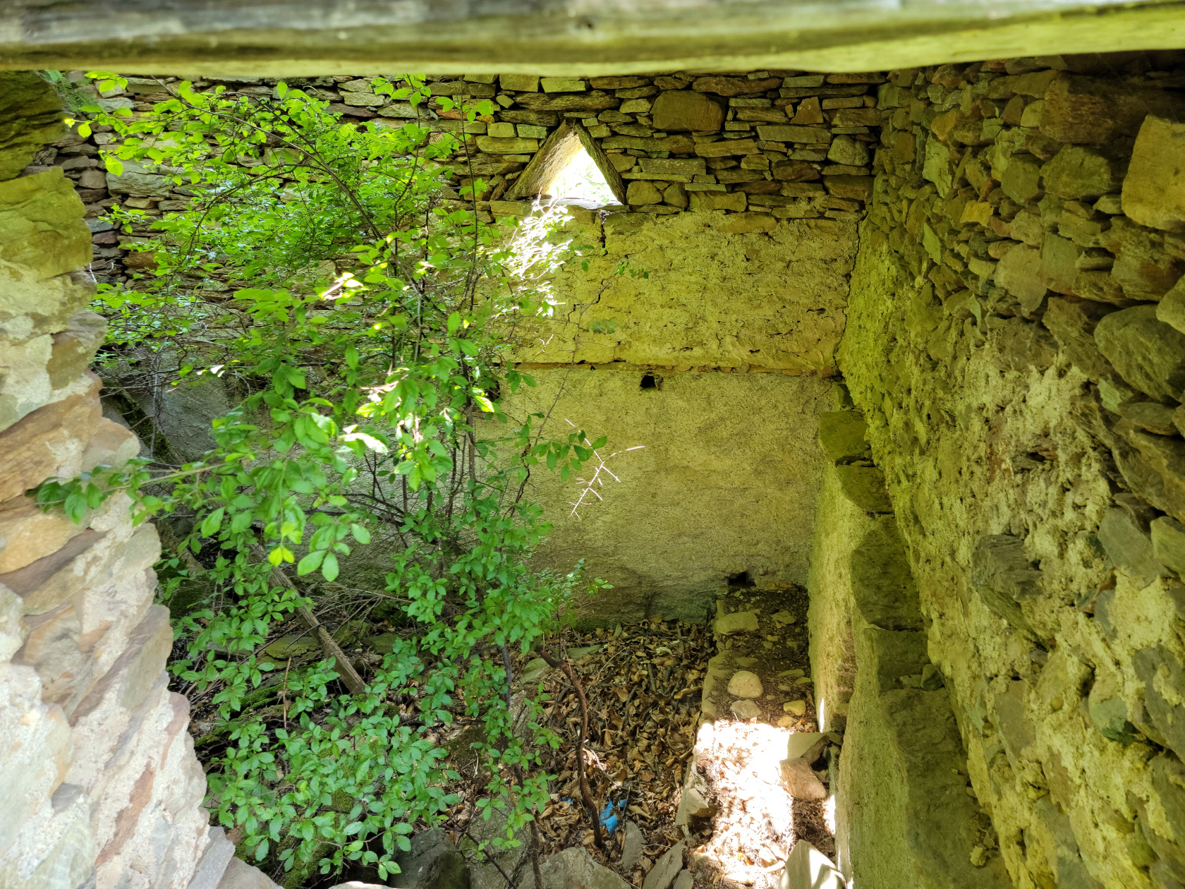
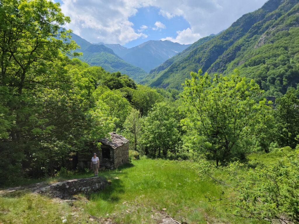
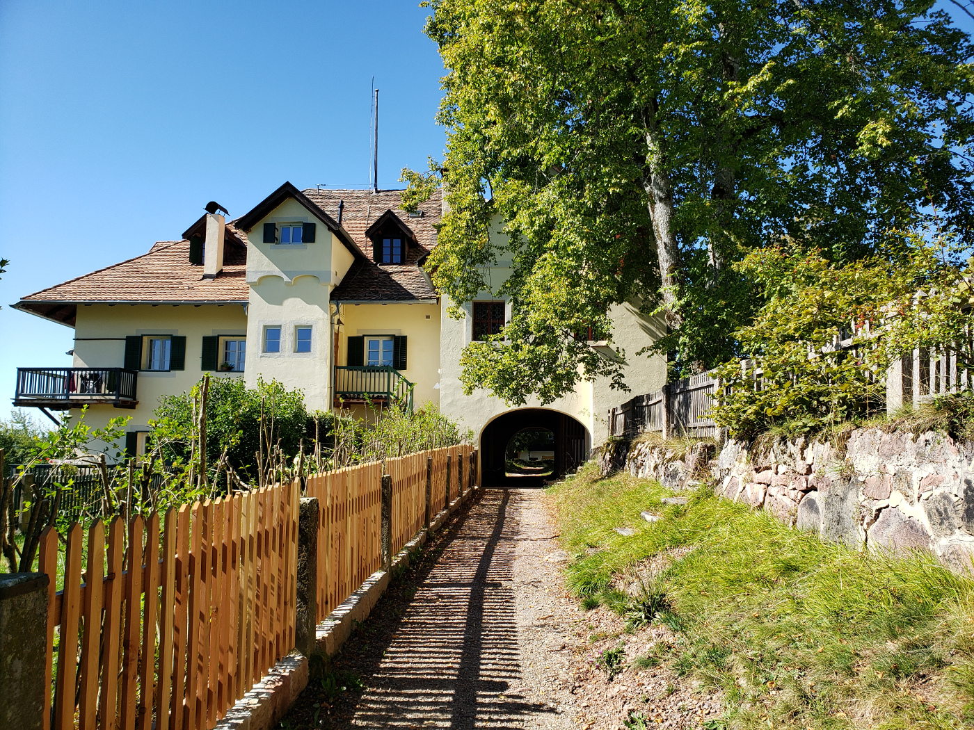
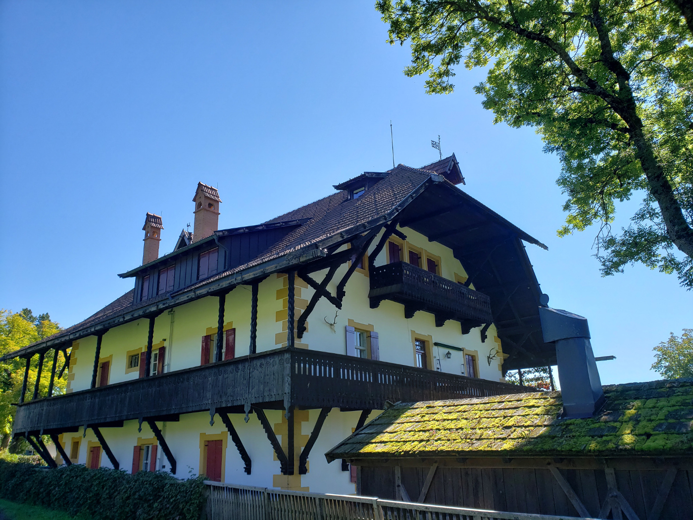
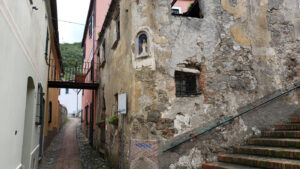
Malpertus to Bobbio Pellice – An old barn in disrepair
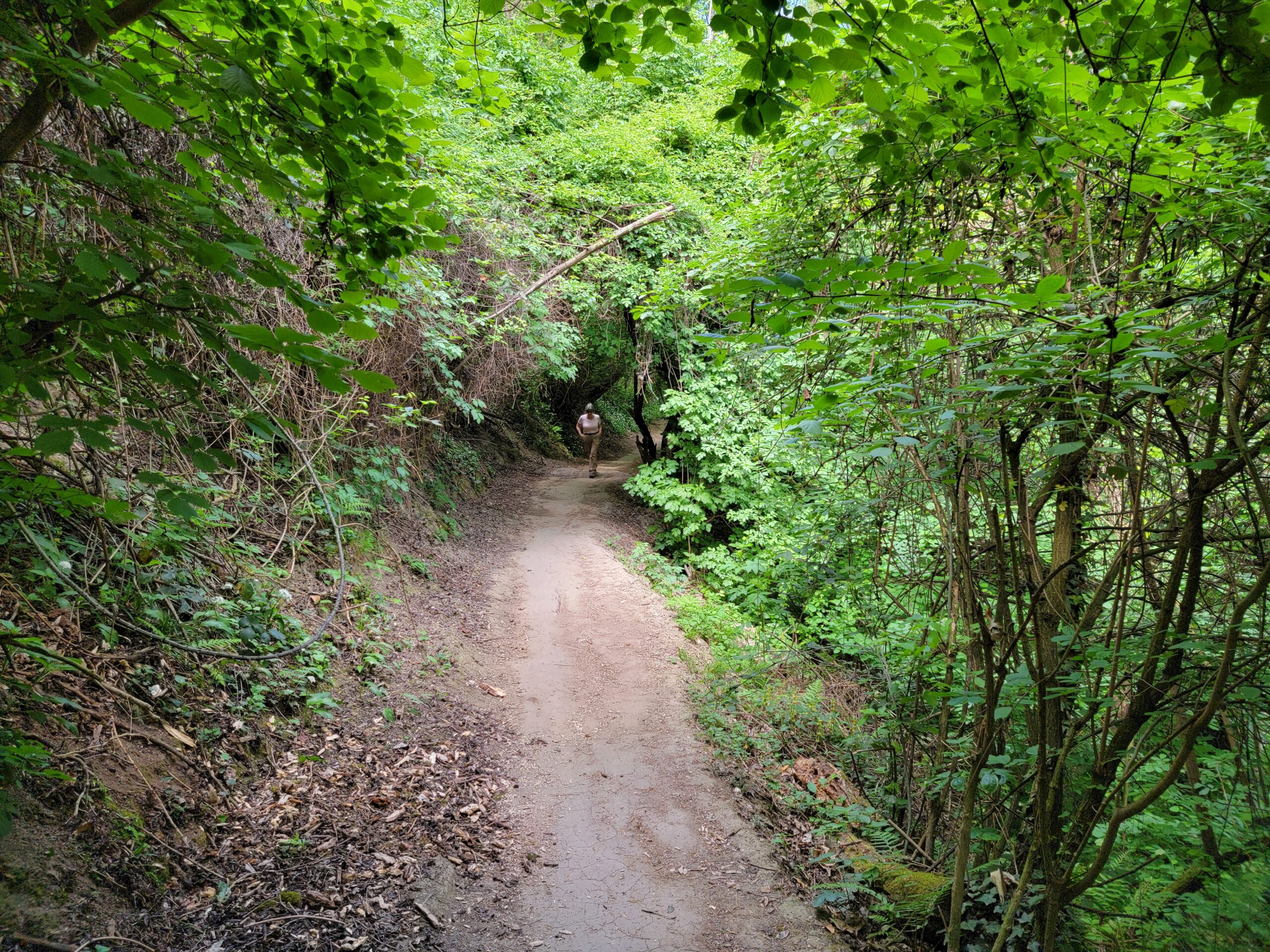
Malpertus to Bobbio Pellice – Hiking the Pista Bassa – Patti and Lisa behind us talking
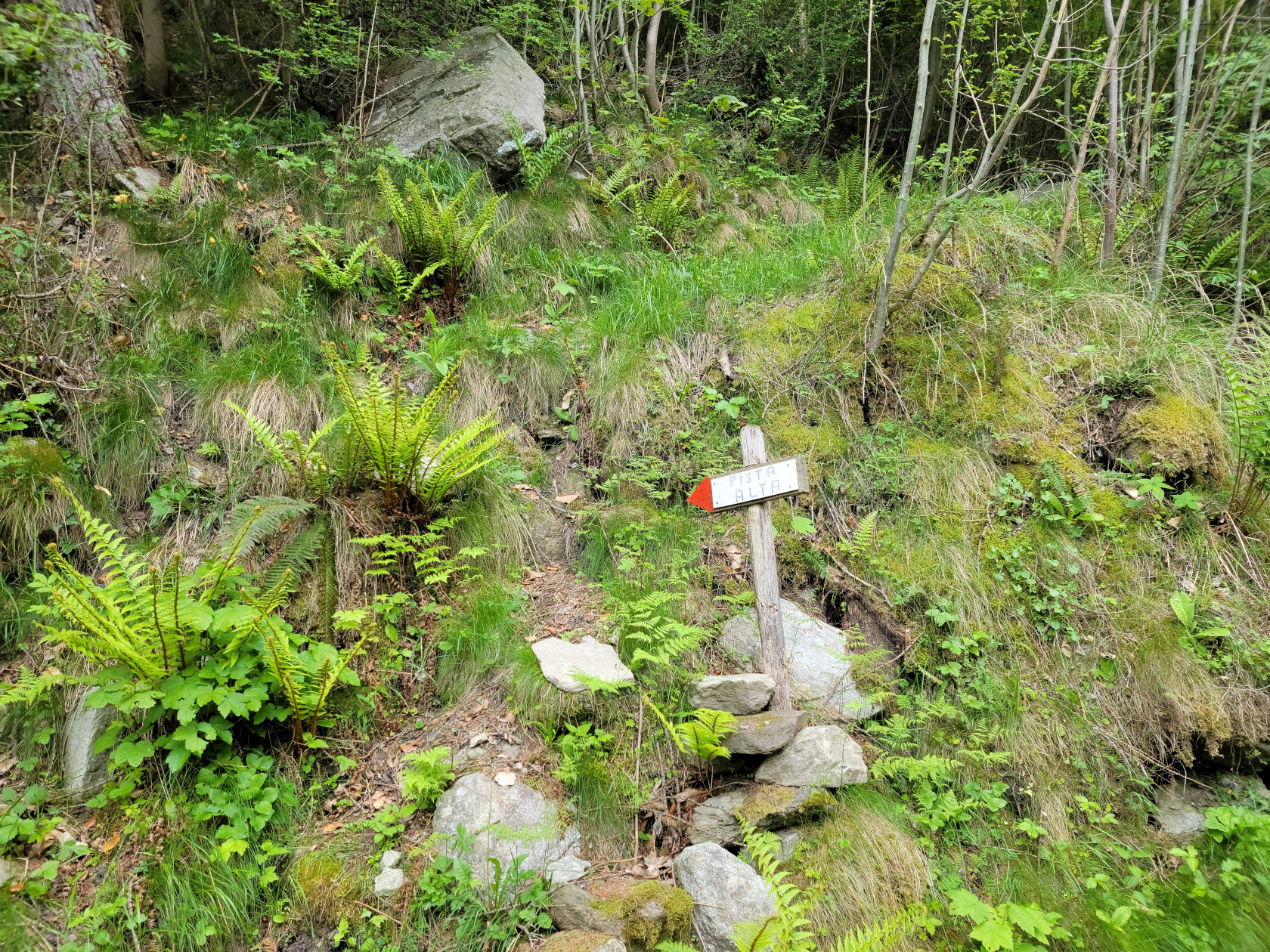
Malpertus to Bobbio Pellice – Hiking the Pista Bassa – Deviation to the Pista Ulta
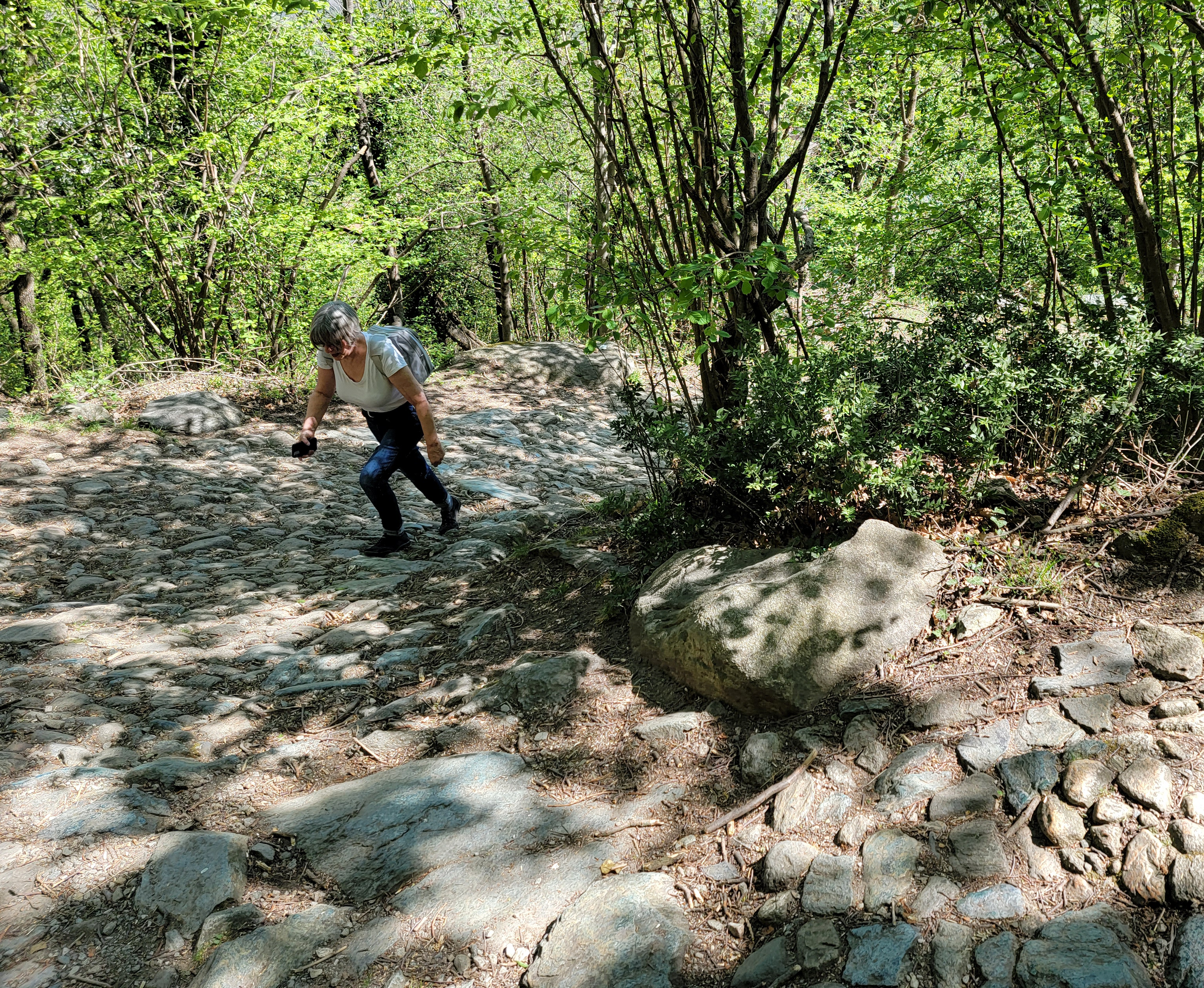
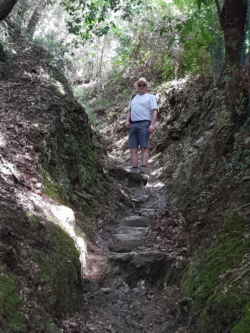
Malpertus to Bobbio Pellice – Hiking the Pista Bassa
Malpertus to Bobbio Pellice – Hiking the Pista Bassa
Malpertus to Bobbio Pellice – Hiking the Pista Bassa – Our host’s son Luca
Malpertus to Bobbio Pellice – Hiking the Pista Bassa – Our hosts Sam and his son Luca
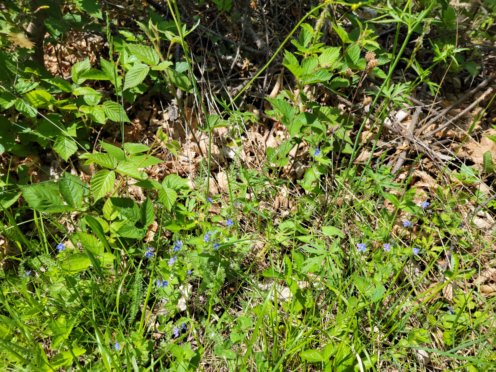
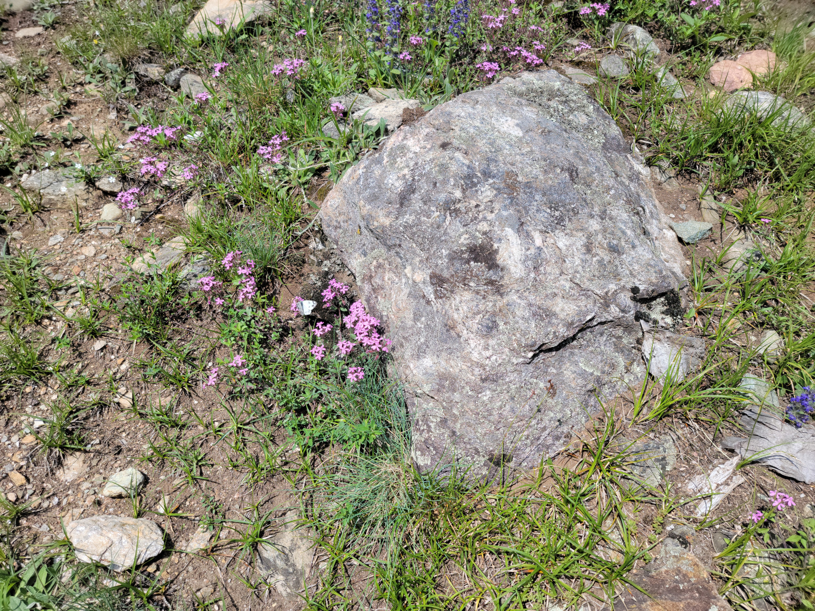
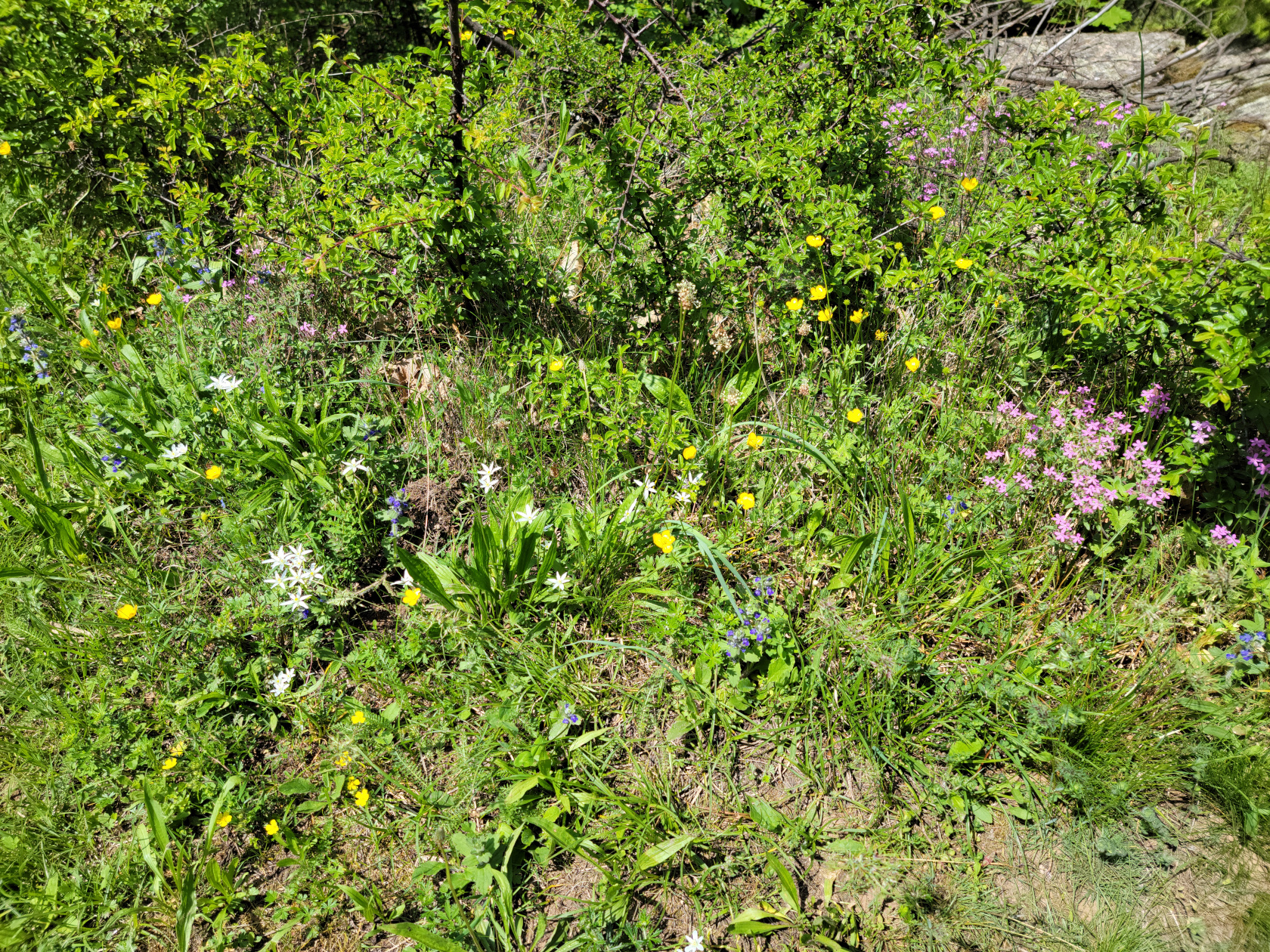
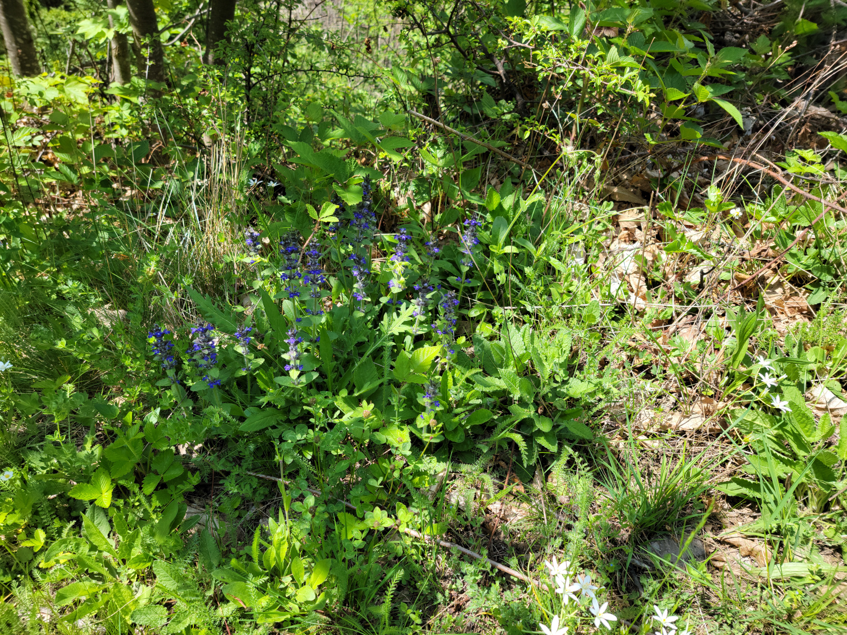
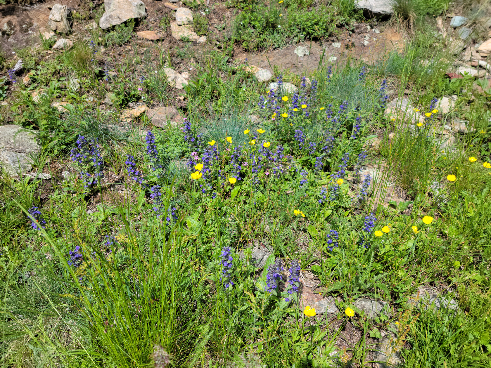
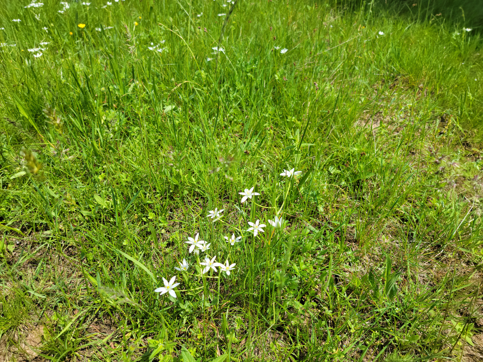
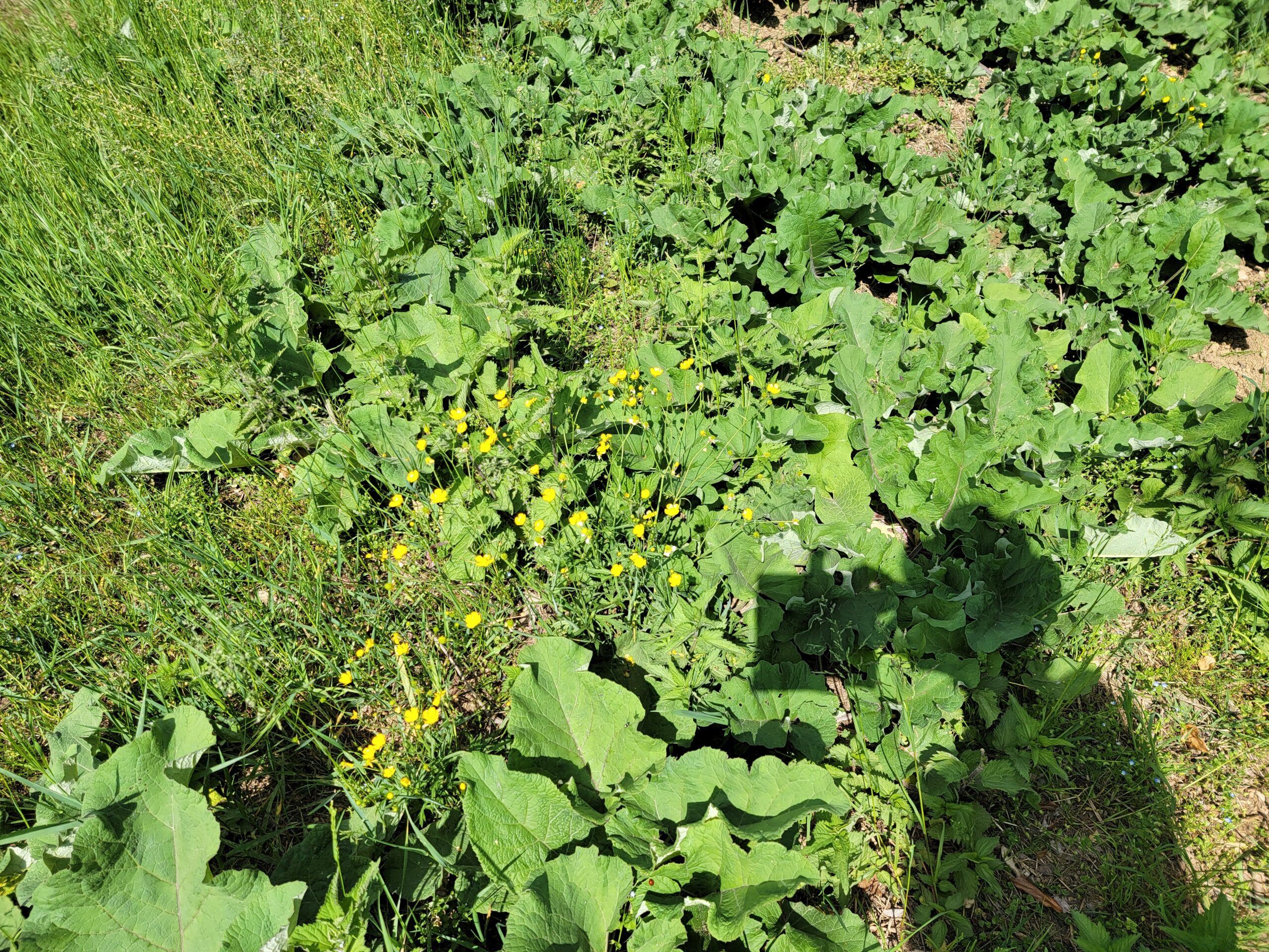
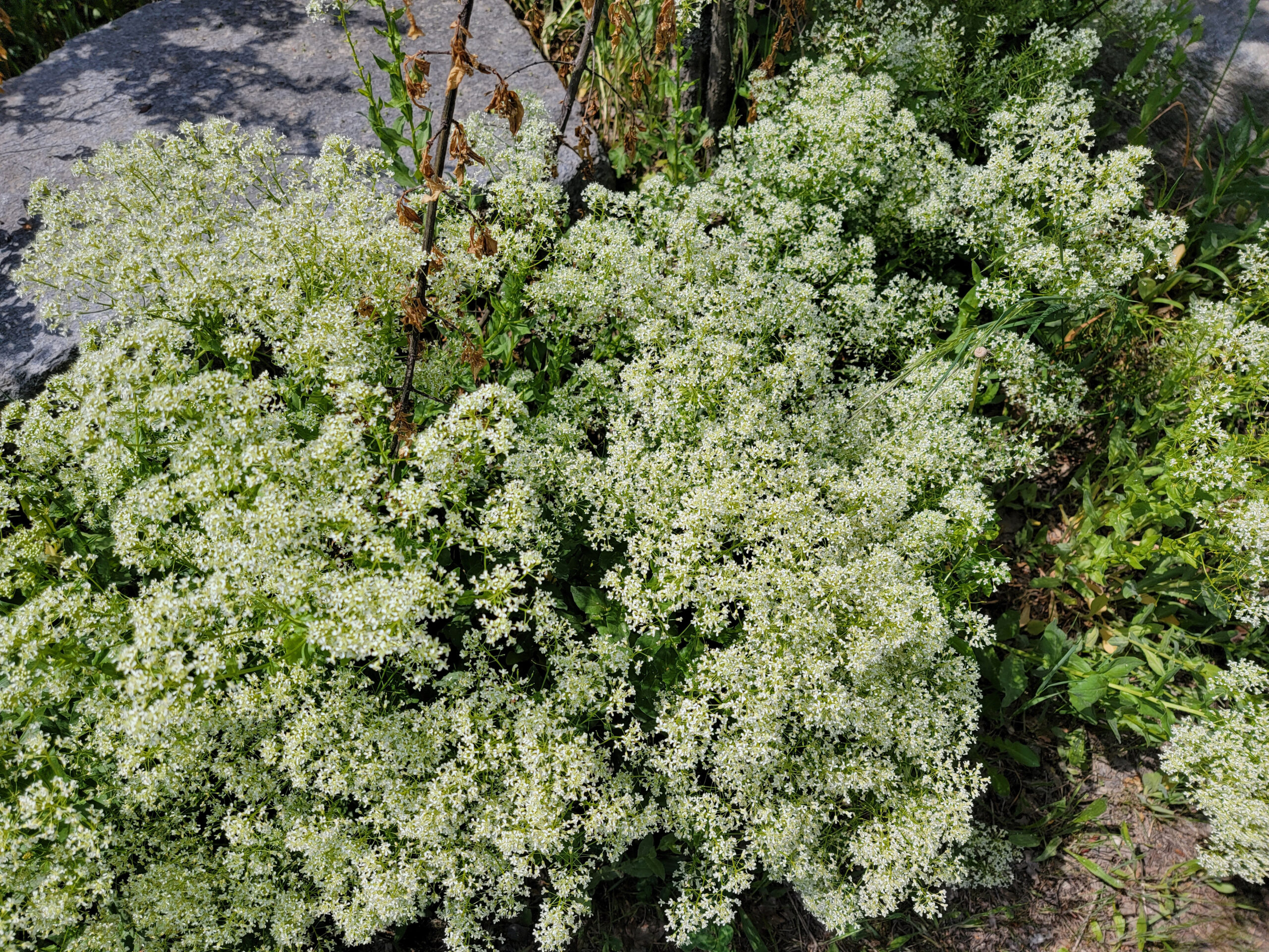
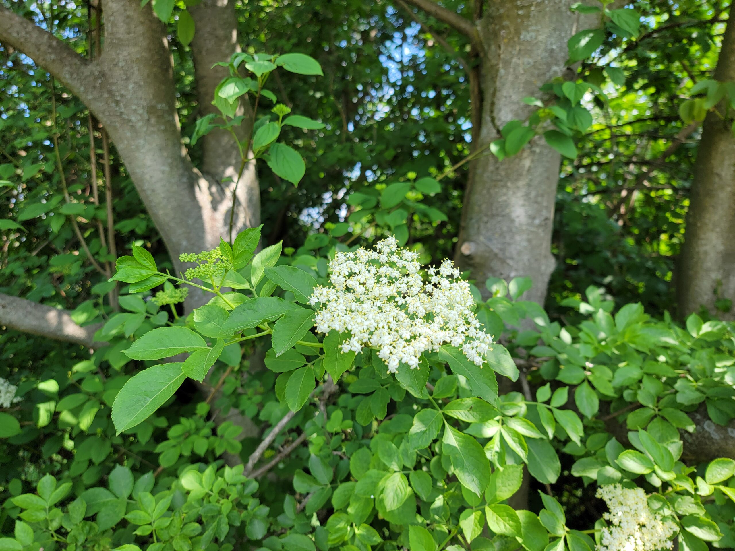
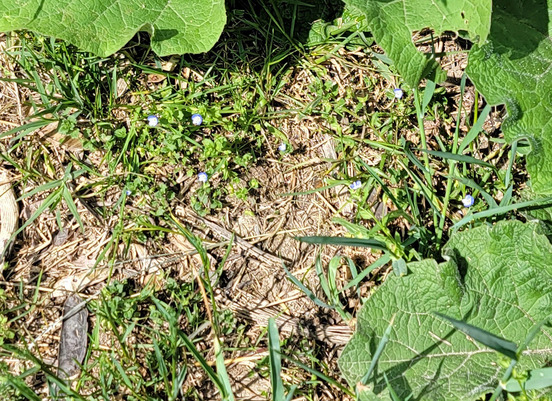
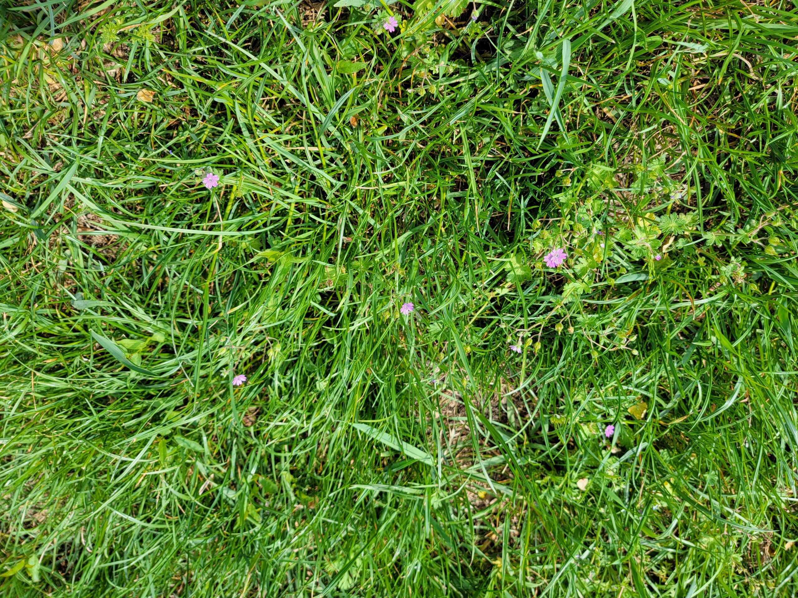
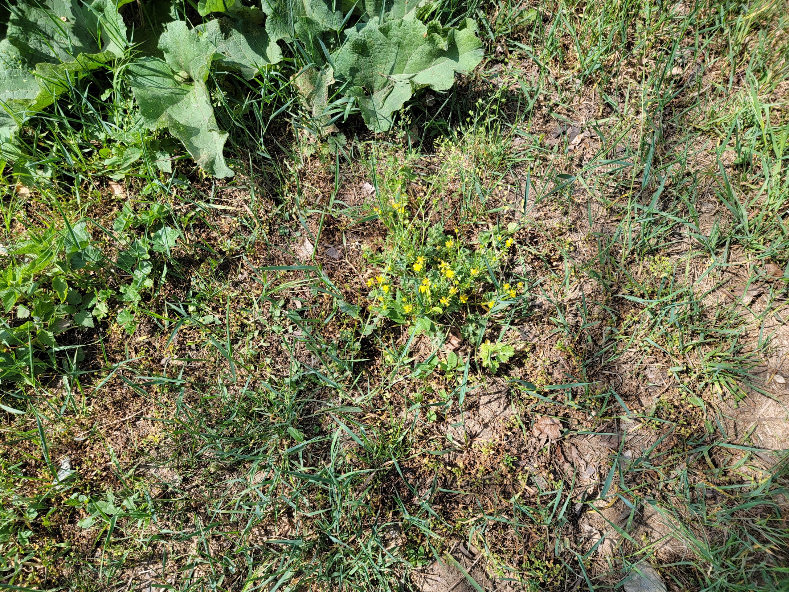
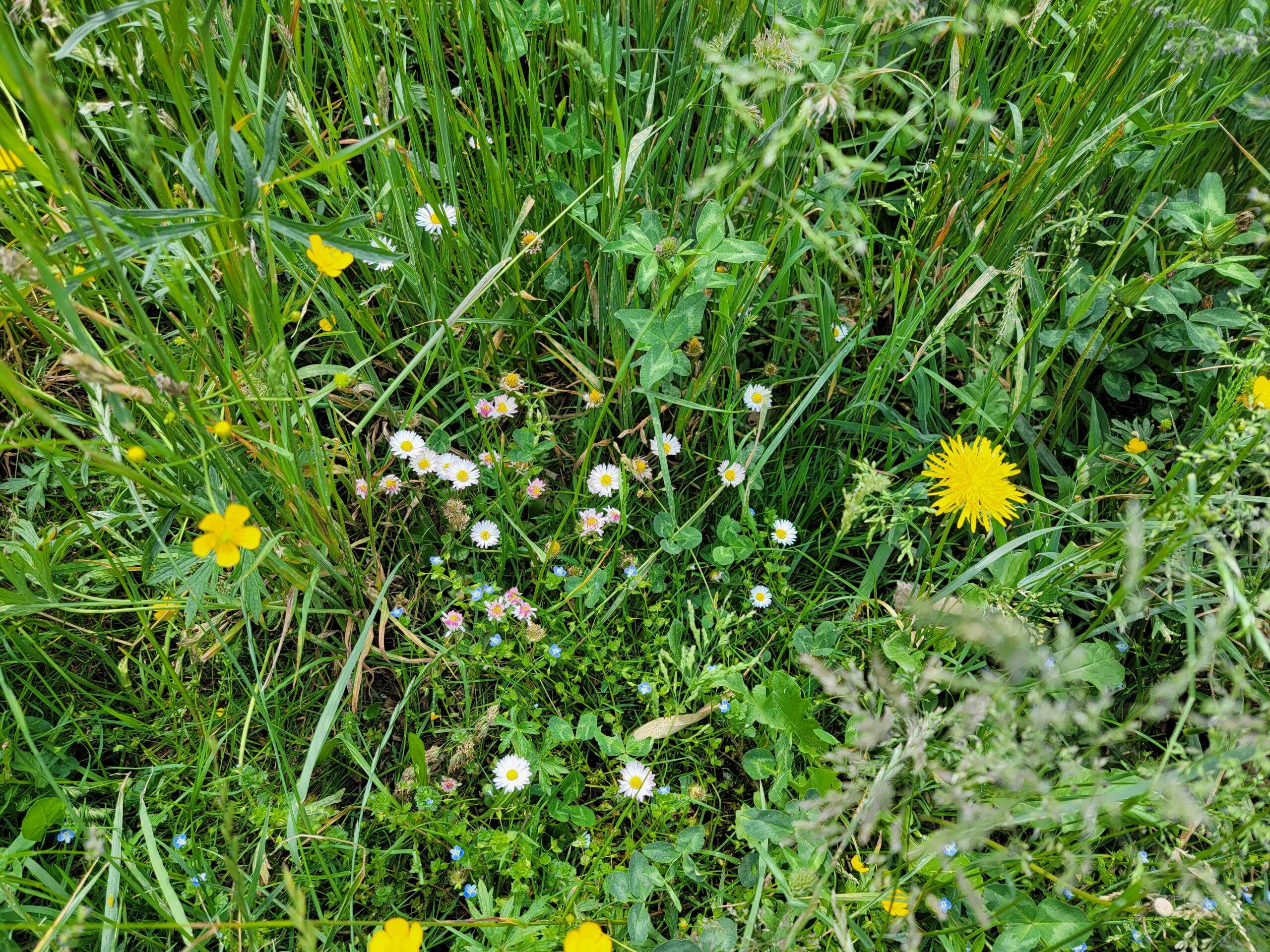
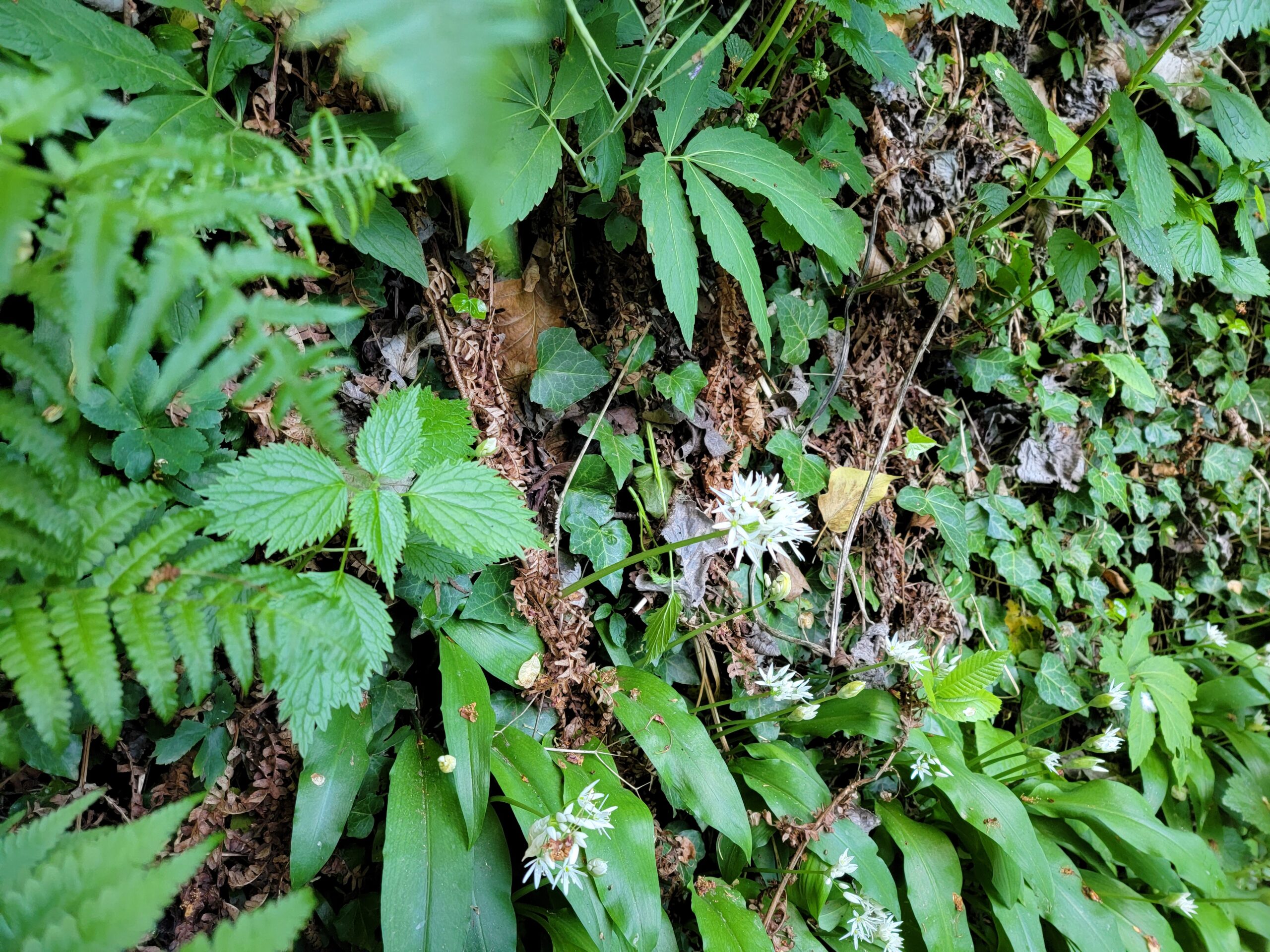
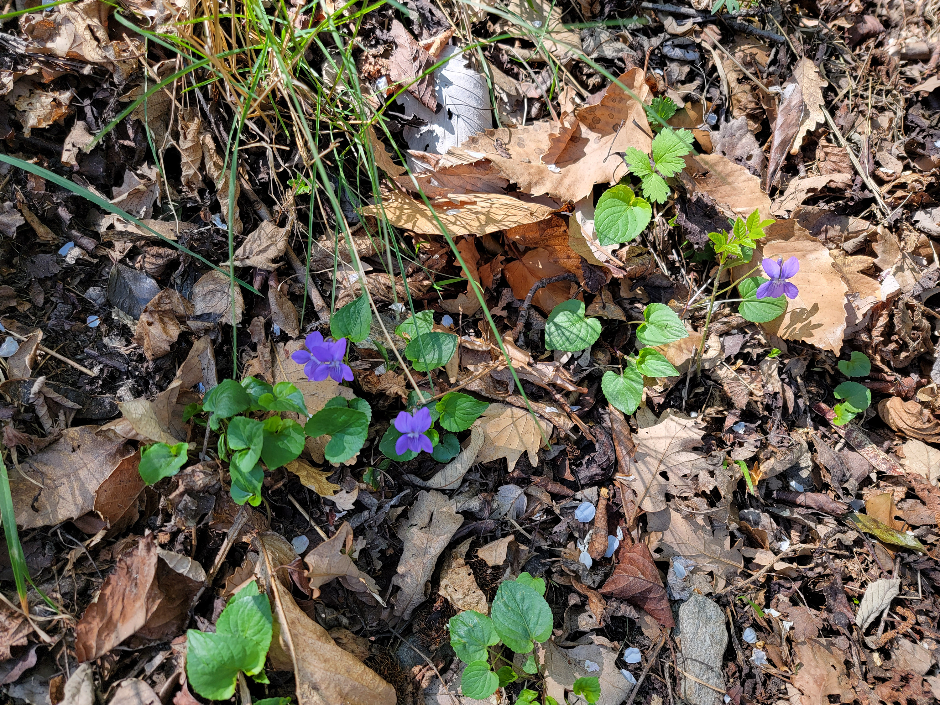
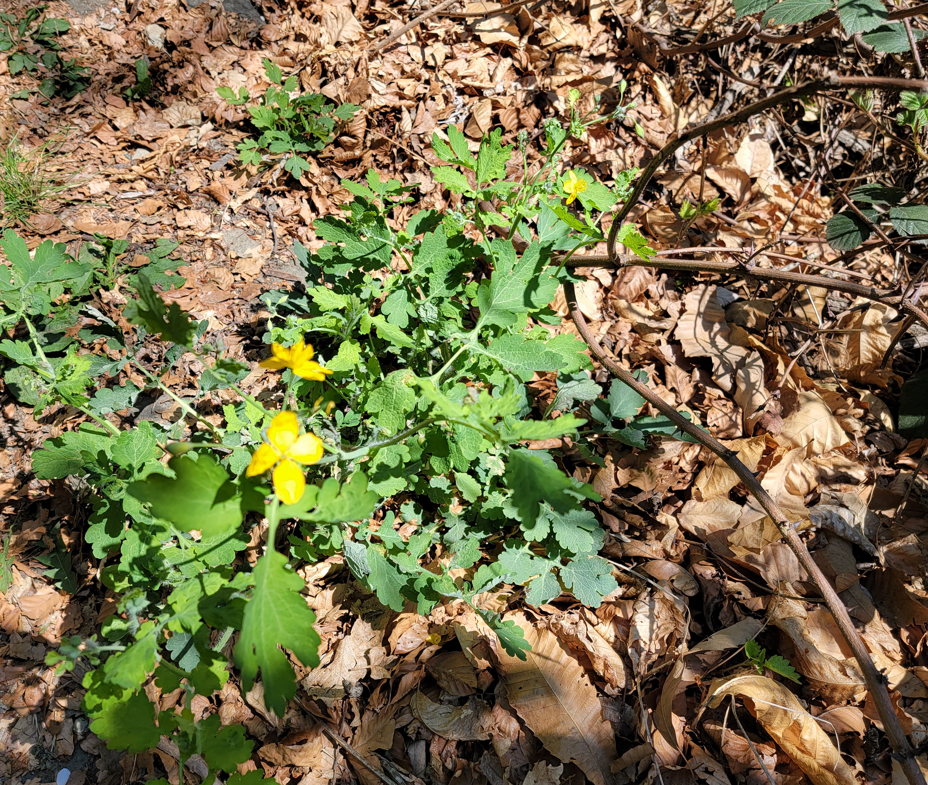
Flowers of the Pista Bassa
Malpertus to Bobbio Pellice – Hiking the Pista Bassa – The Flowers
Flowers of the Pista Bassa
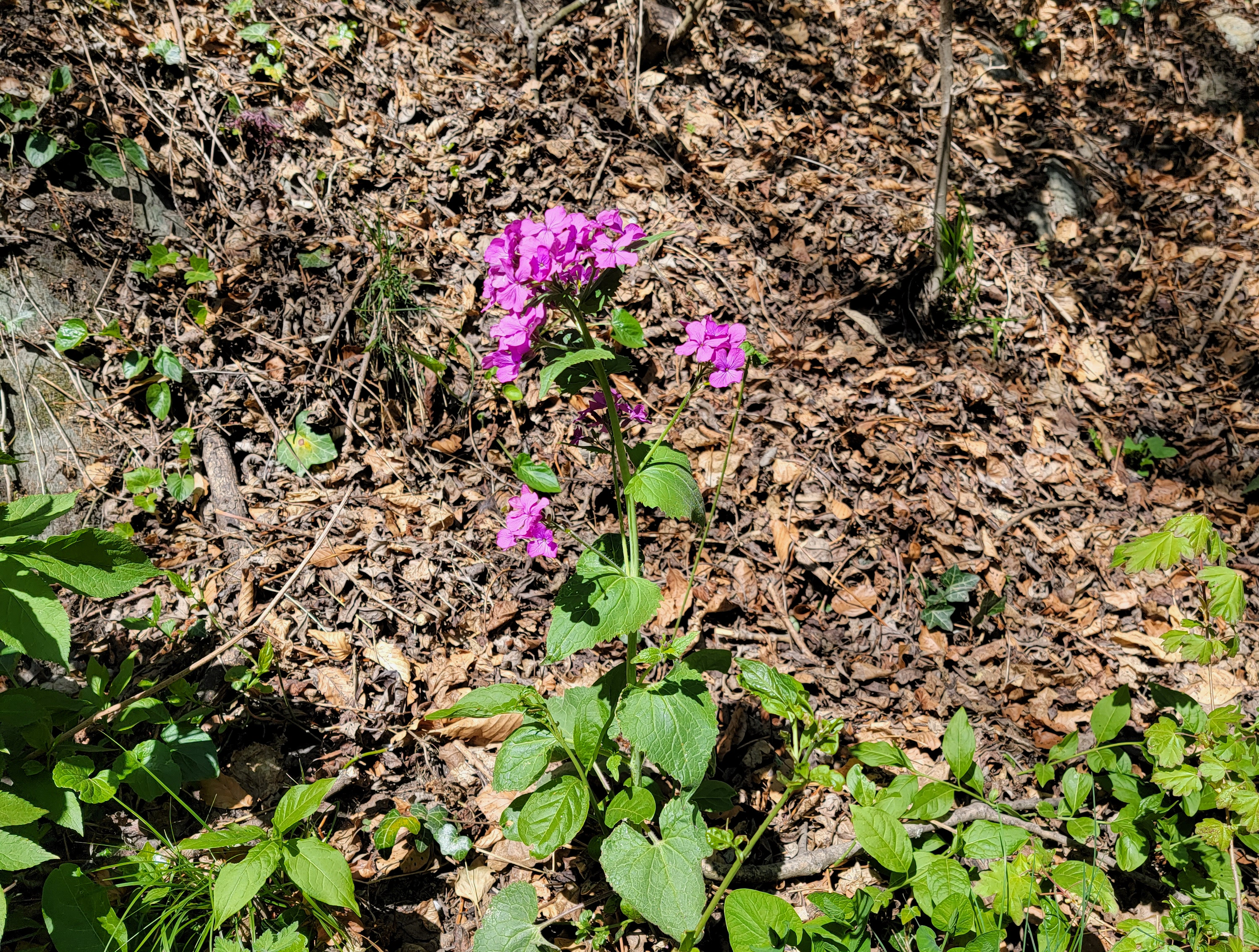
Flowers of the Pista Bassa
Flowers of the Pista Bassa
Flowers of the Pista Bassa
Flowers of the Pista Bassa
Flowers of the Pista Bassa – Star of David
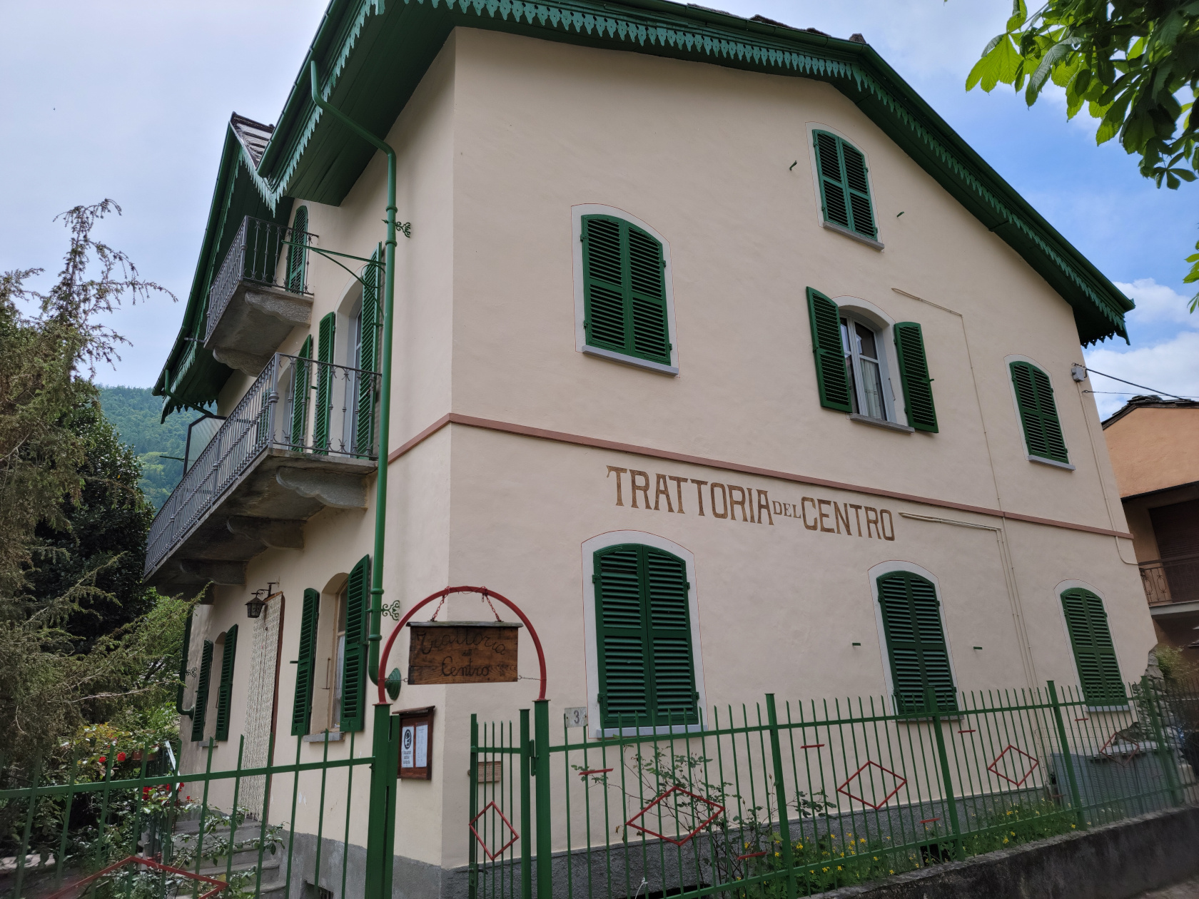
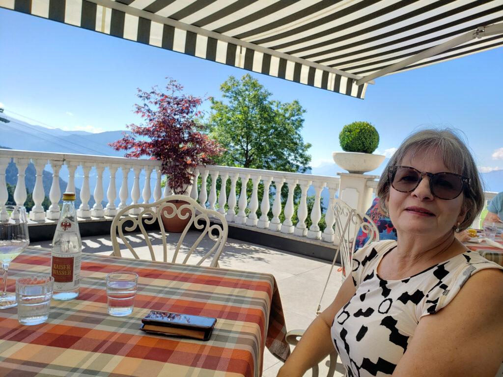
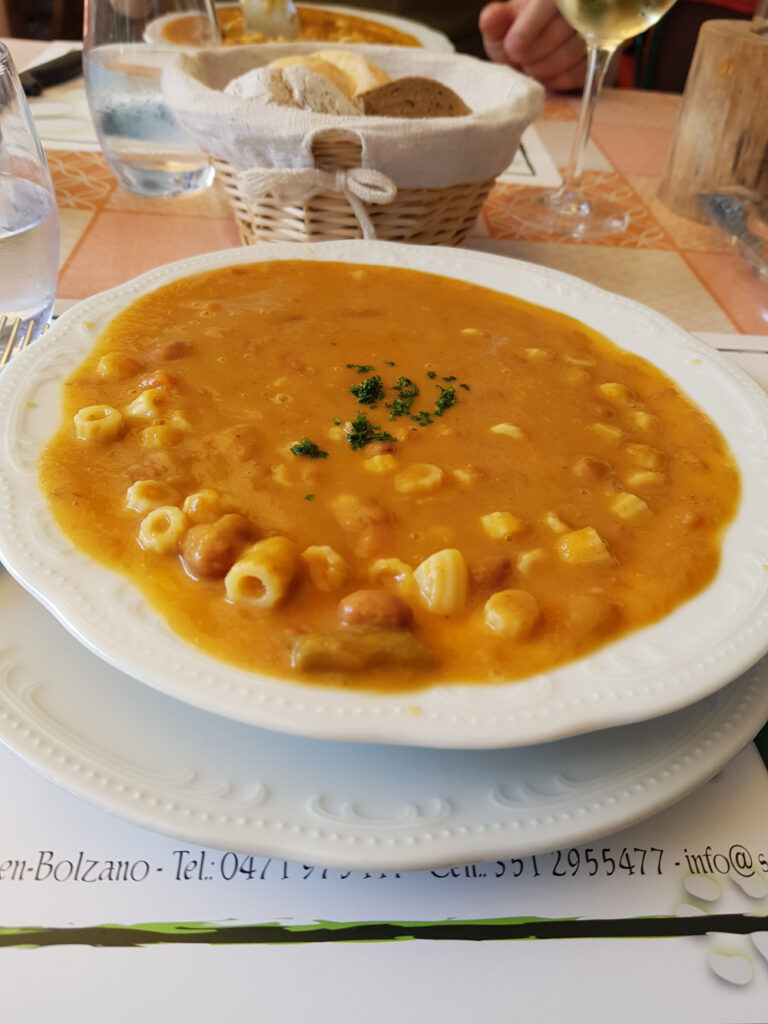
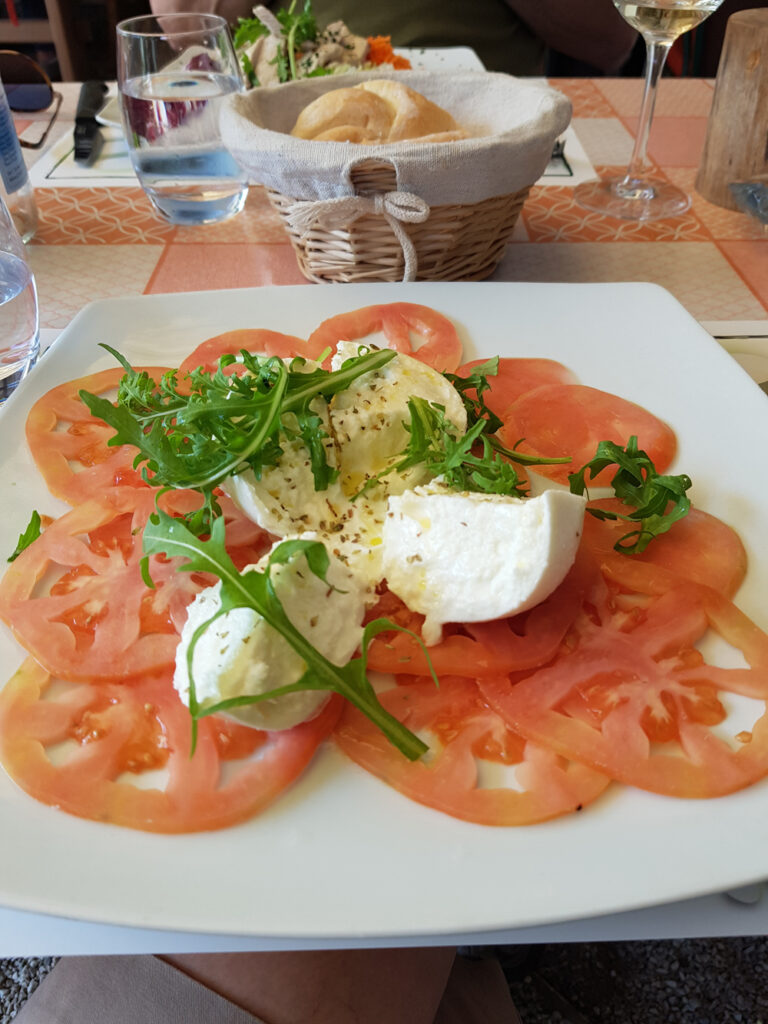
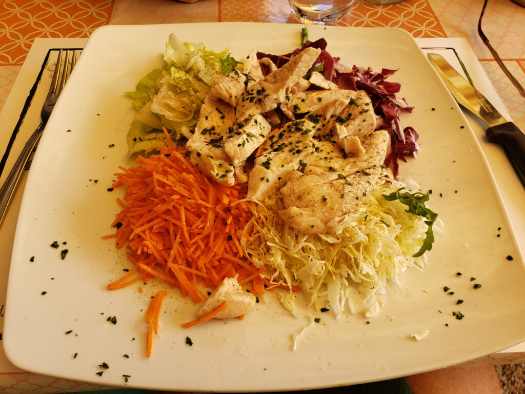
Restaurants
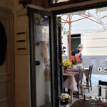
Trattoria del Centro
Trattoria del Centro – Local Case Linga
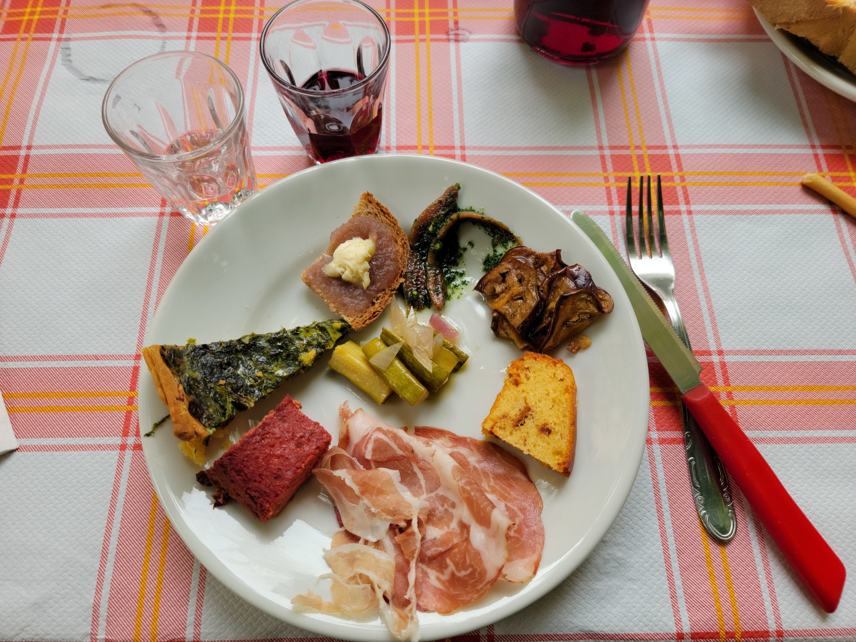
After our short hike, it was time for lunch and some refreshment. Our local host Sam quickly introduced us to the owner of the Trattoria del Centro, where we were able to order local home cooked food at a very reasonable price.
Trattoria del Centro – Local Case Linga
Trattoria del Centro – Local Case Linga
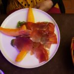
Trattoria del Centro – Local Case Linga – Appetizer
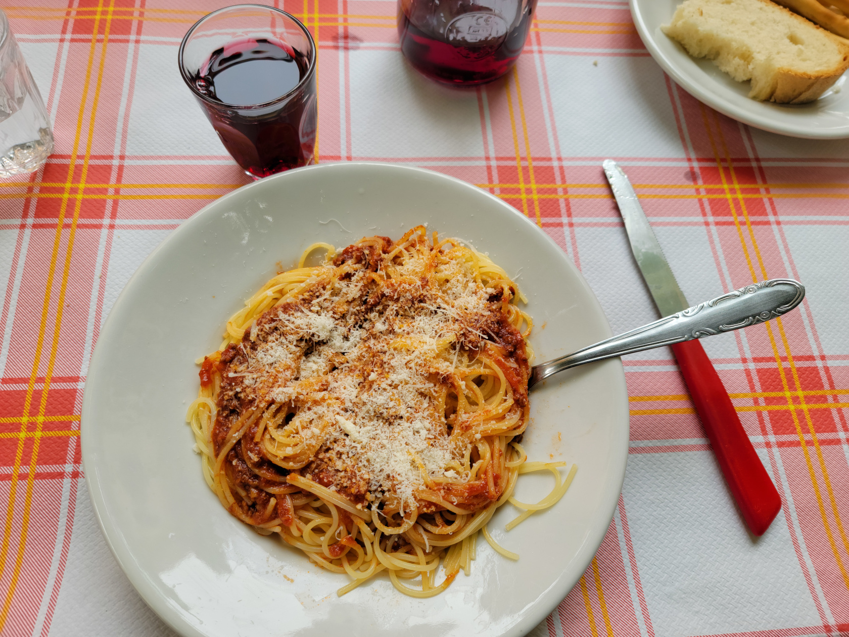
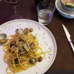
Trattoria del Centro – Local Case Linga – Spaghetti alla Ragu
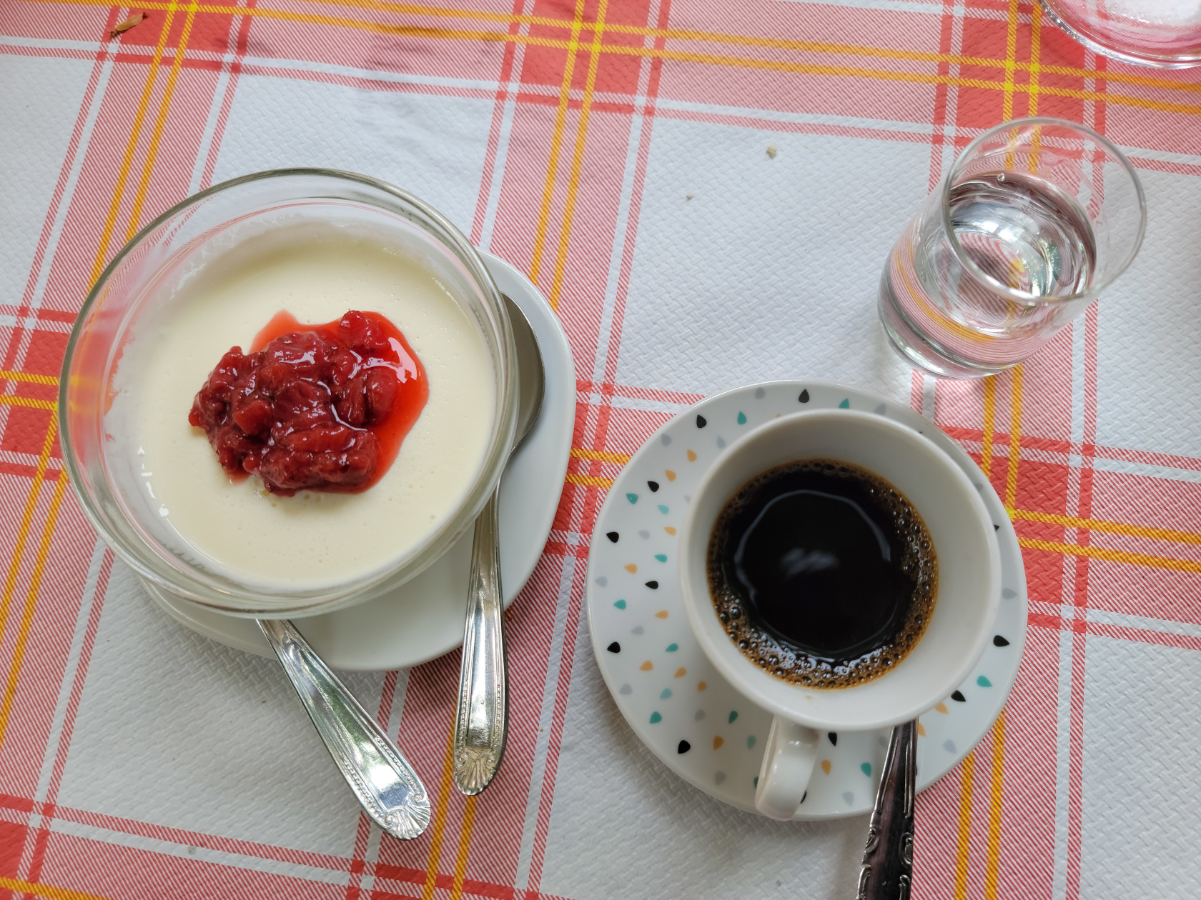
Trattoria del Centro – Local Case Linga – Creamy Panna Cota, Coffee and Sambuca
After our meal, which included wine, water, appetizer and pasta for both of us; then I order dessert, coffee and sambuca; and the entire bill came to 30€. I will also include that the Panna Cotta had the most delicate and creamy texture that I have yet had in Italy.
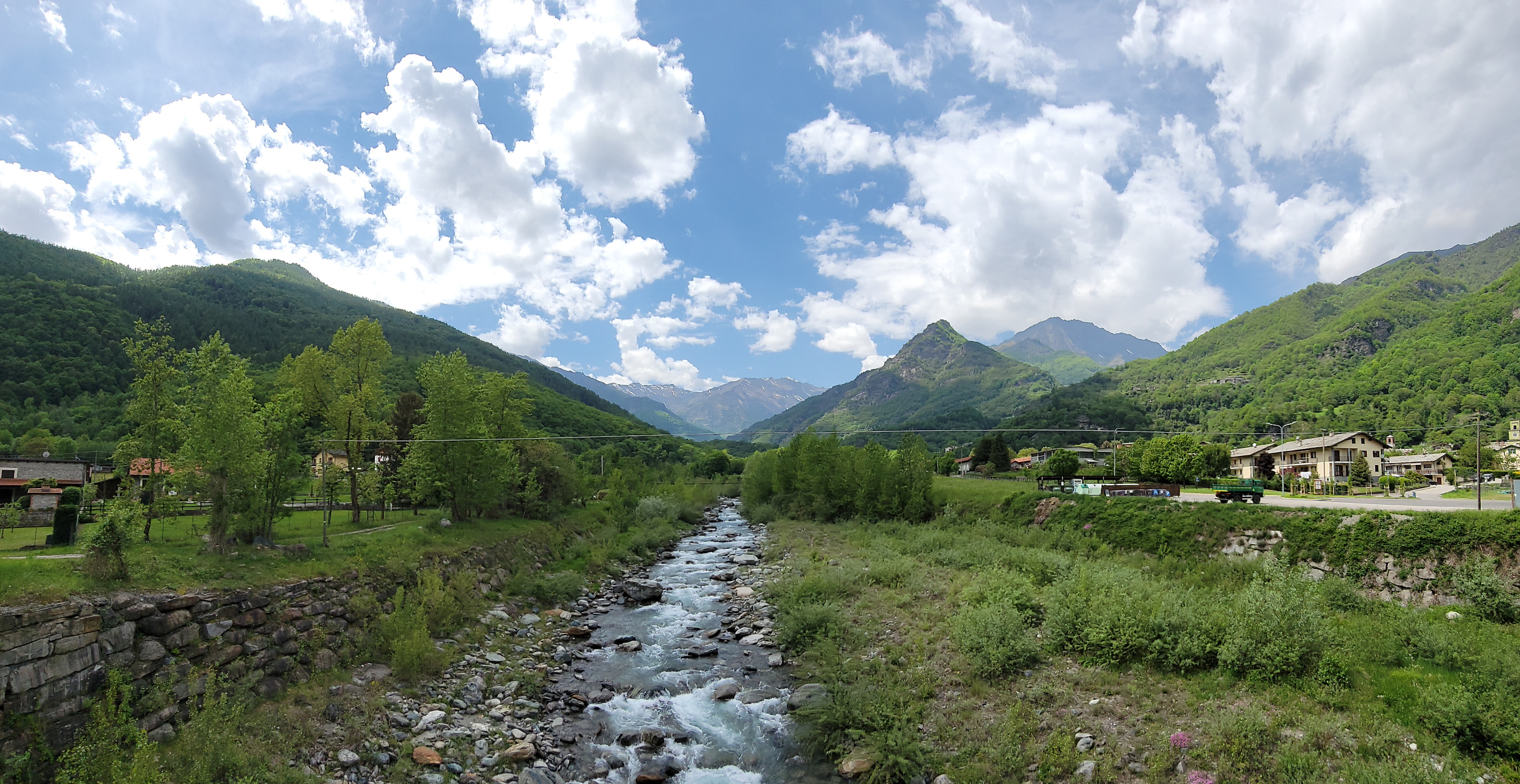
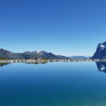
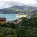
Leaving Bobbio Pellice – Pellice River
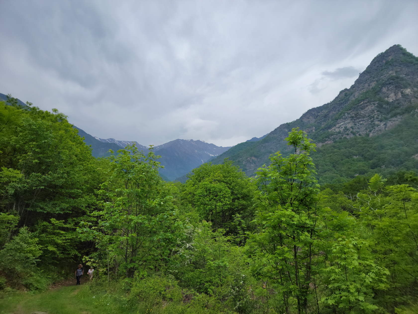
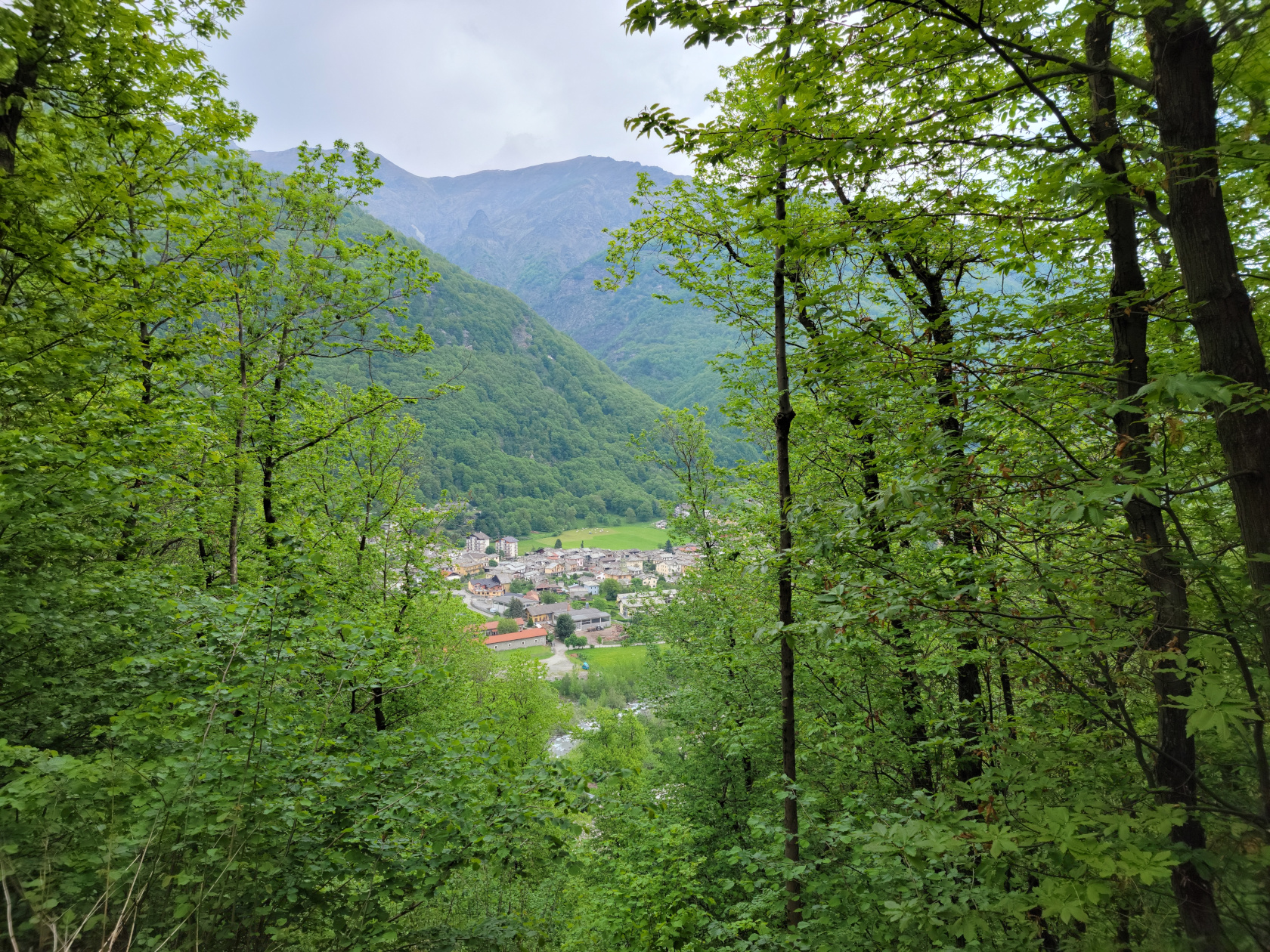
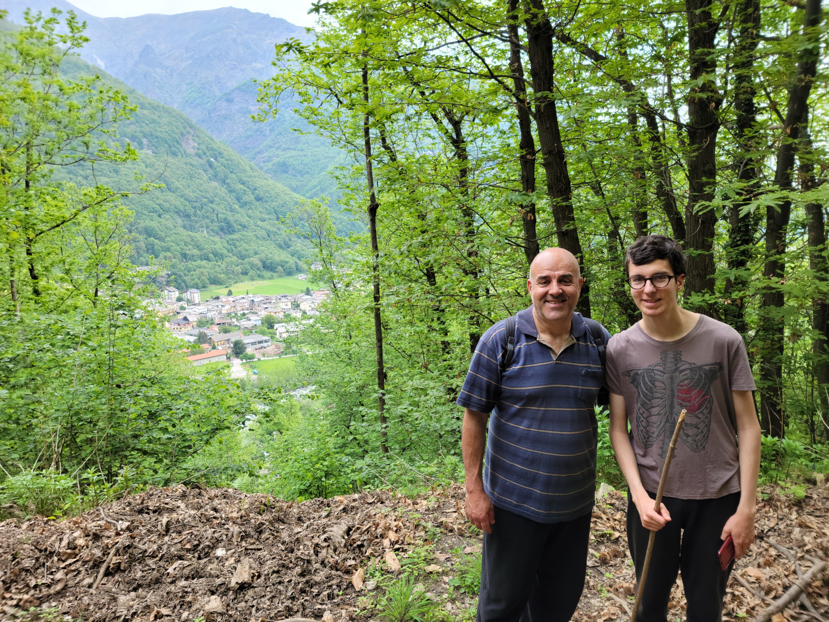
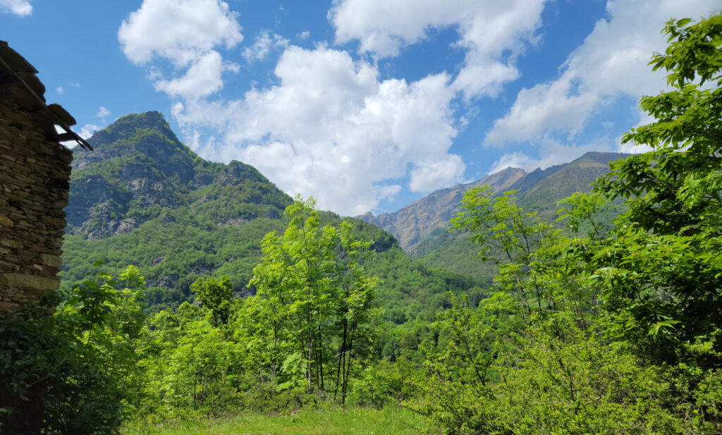
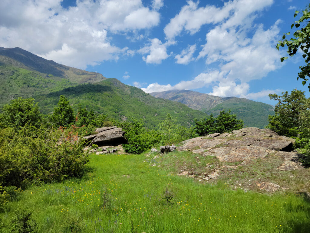
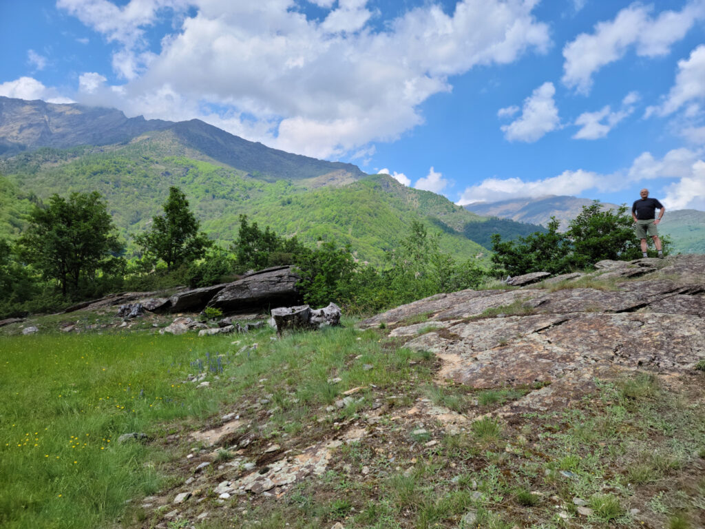
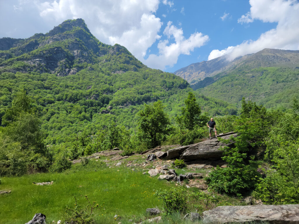
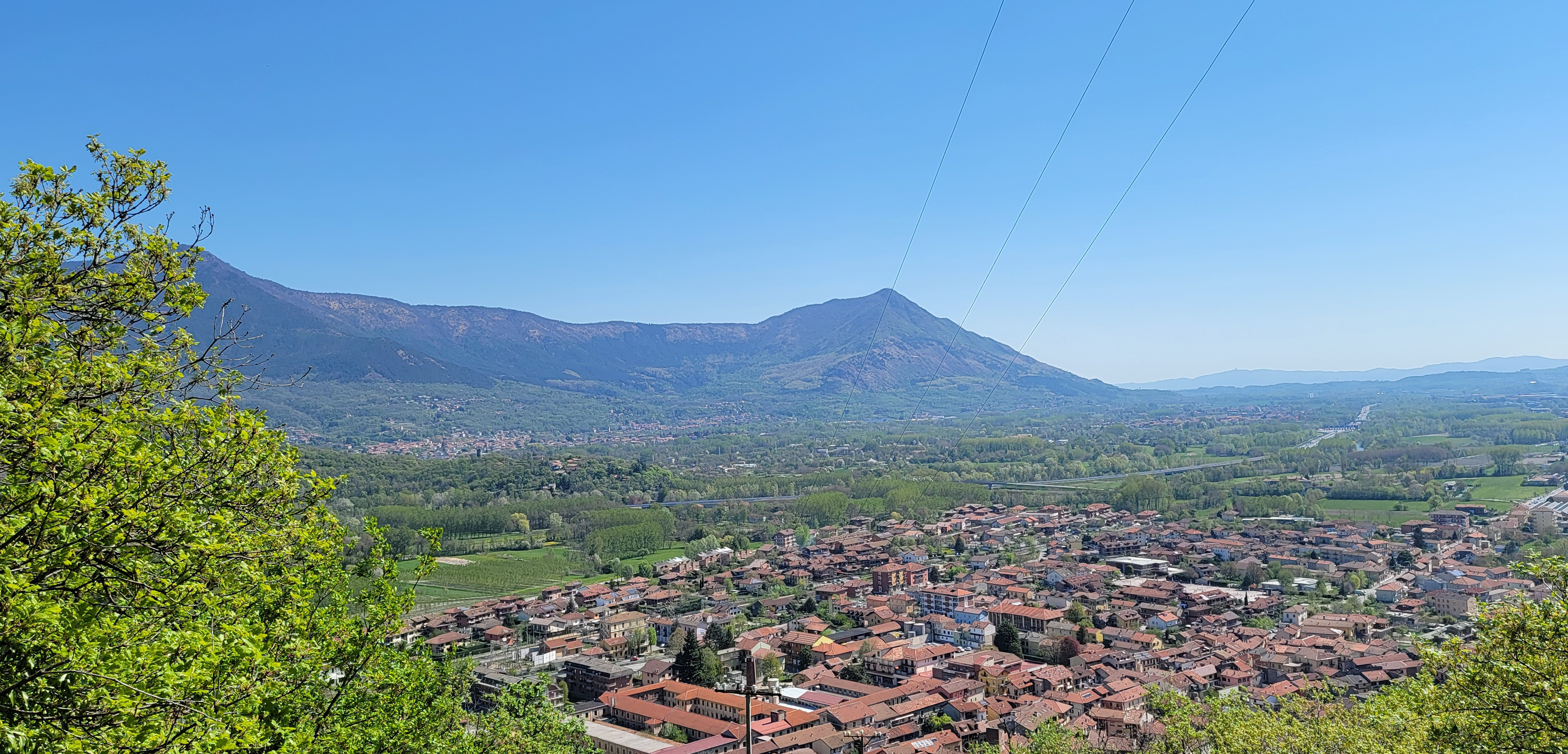
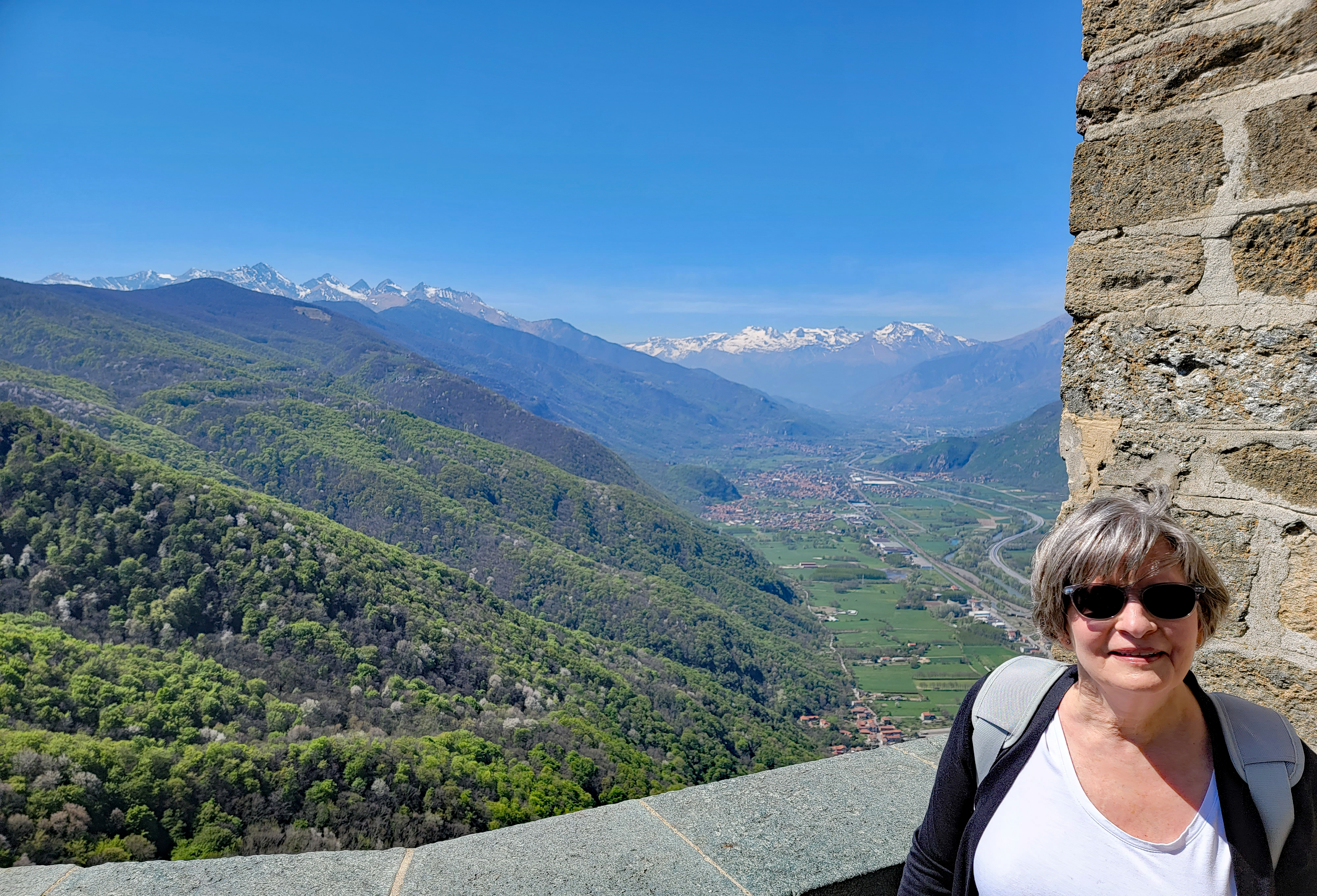
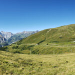
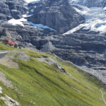
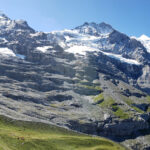
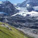
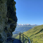
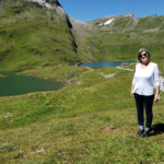
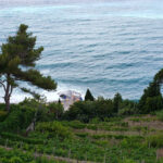
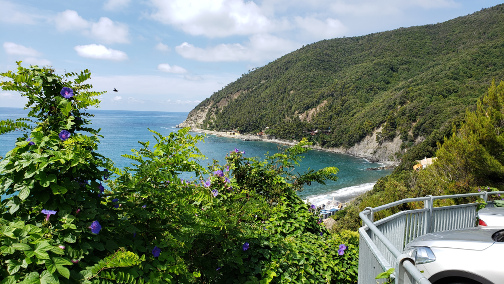
We returned to the Borgata the same way we came, which helped us discover a few more visual treats, especially a small outcropping with terrific views.
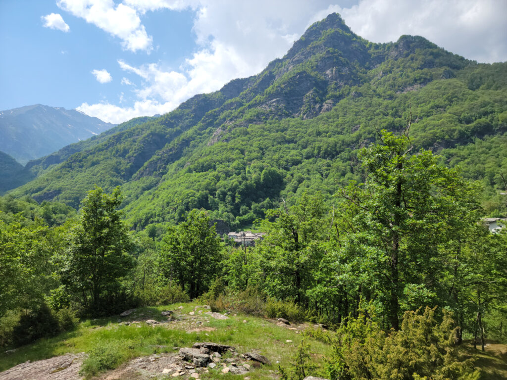
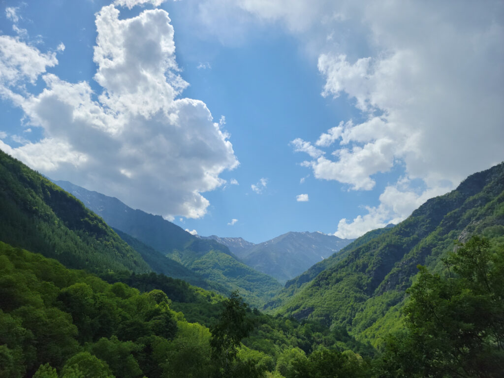
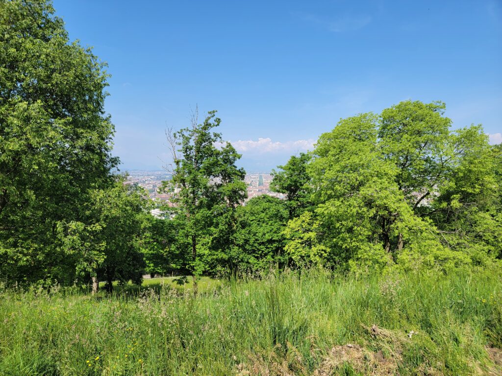
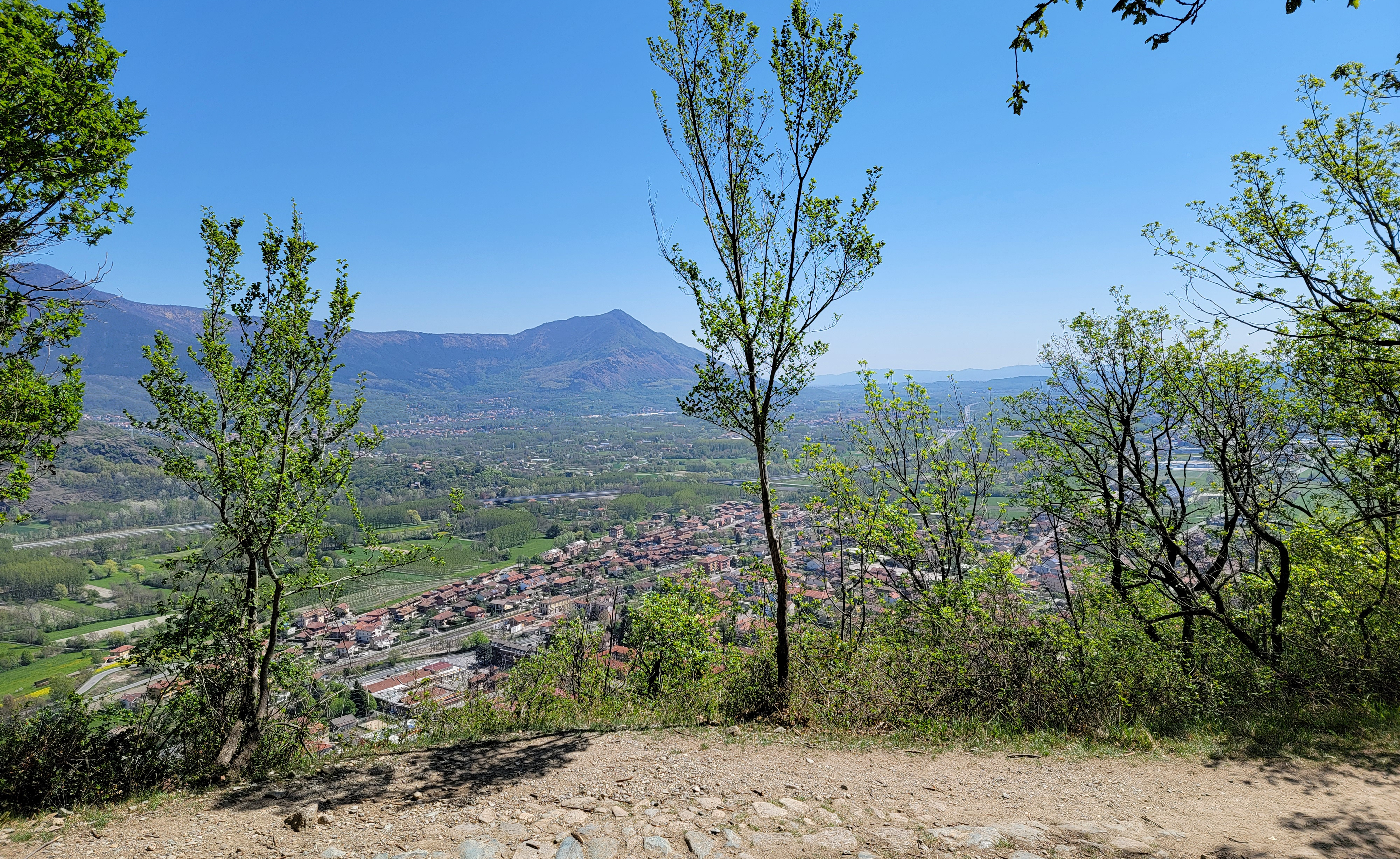
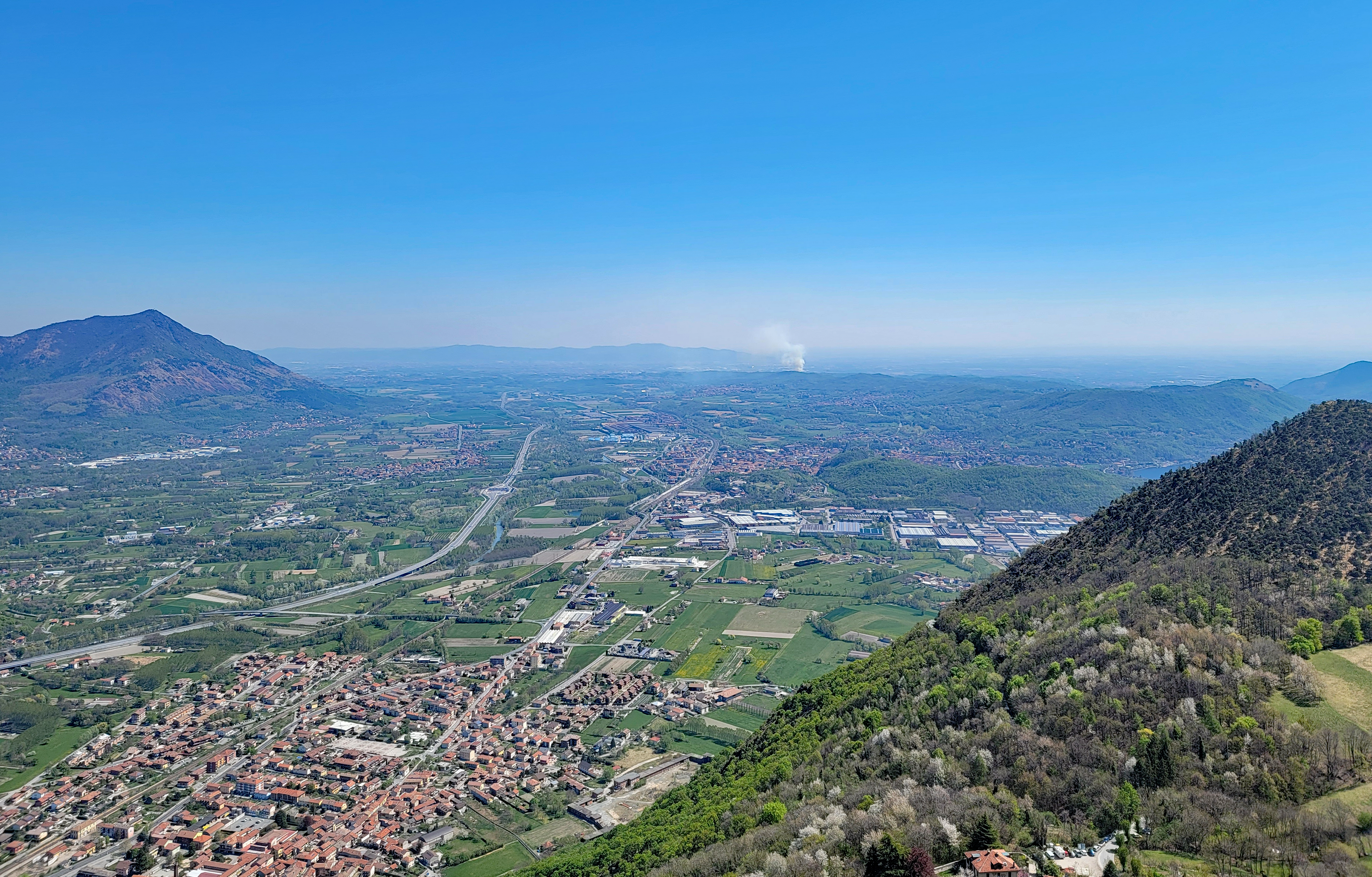
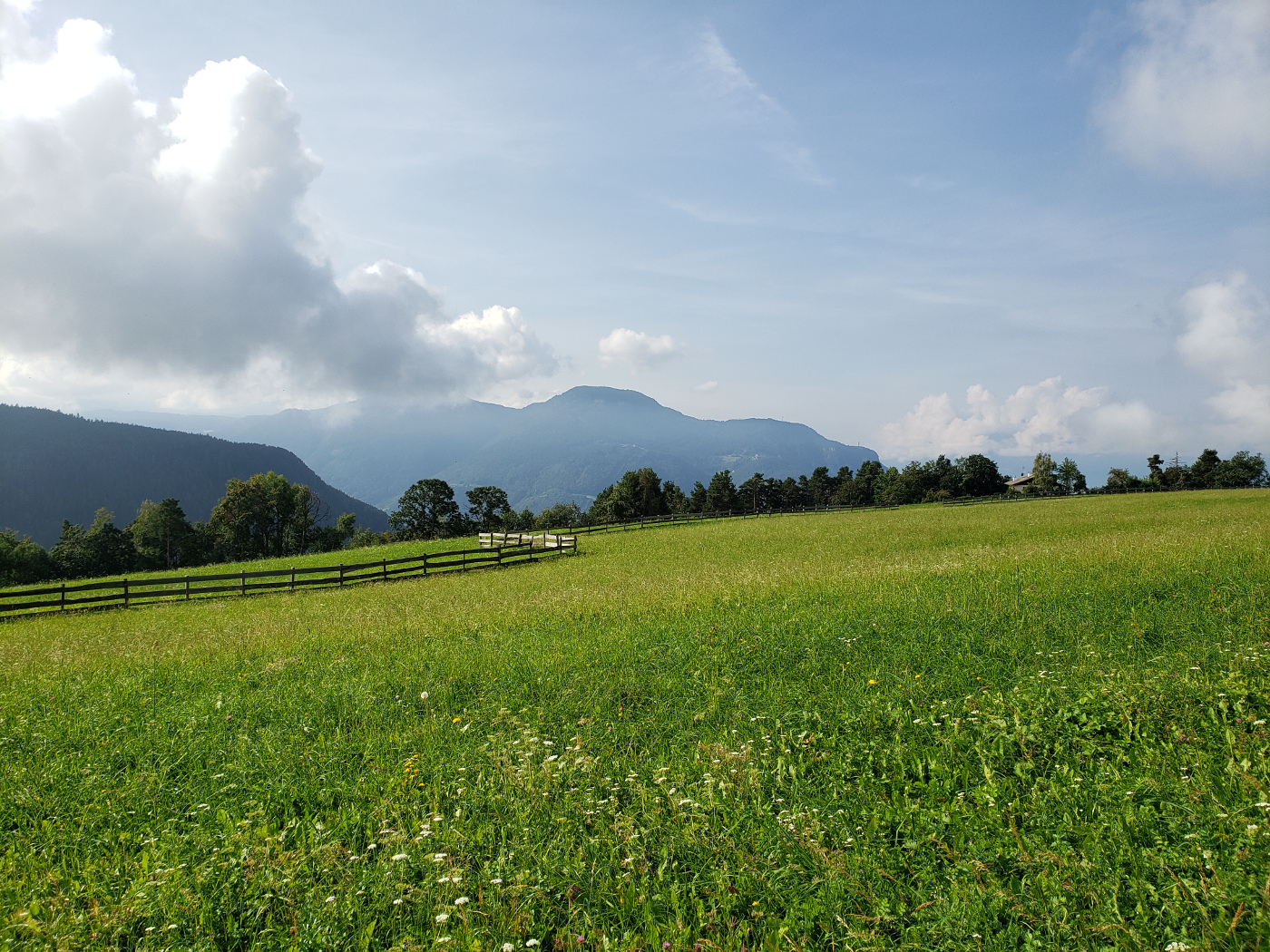
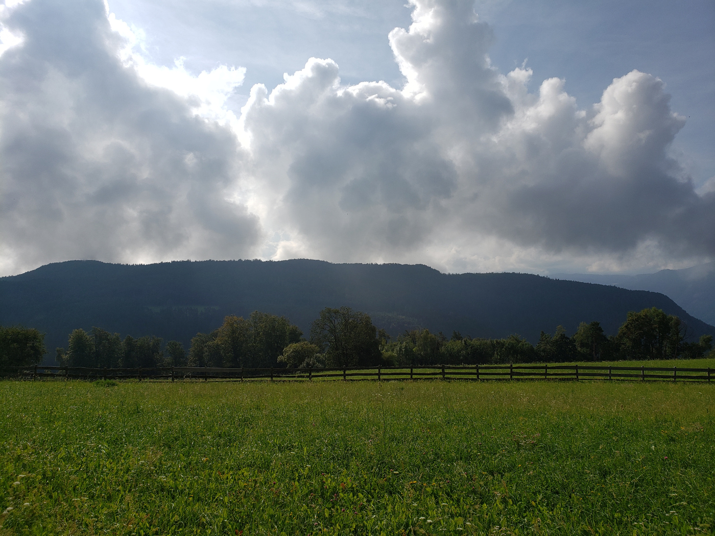
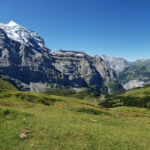
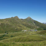
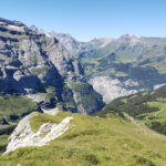
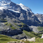
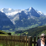
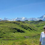
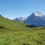
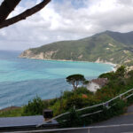
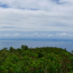
Malpertus to Bobbio Pellice – Beautiful Overlook
Malpertus to Bobbio Pellice – Beautiful Overlook
Malpertus to Bobbio Pellice – Beautiful Overlook
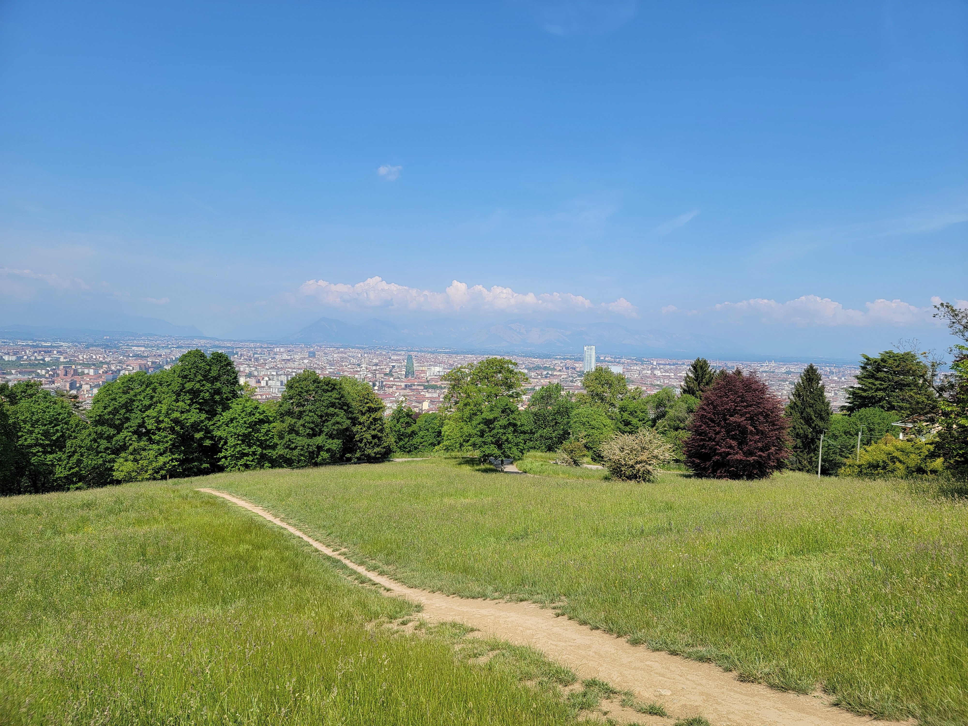
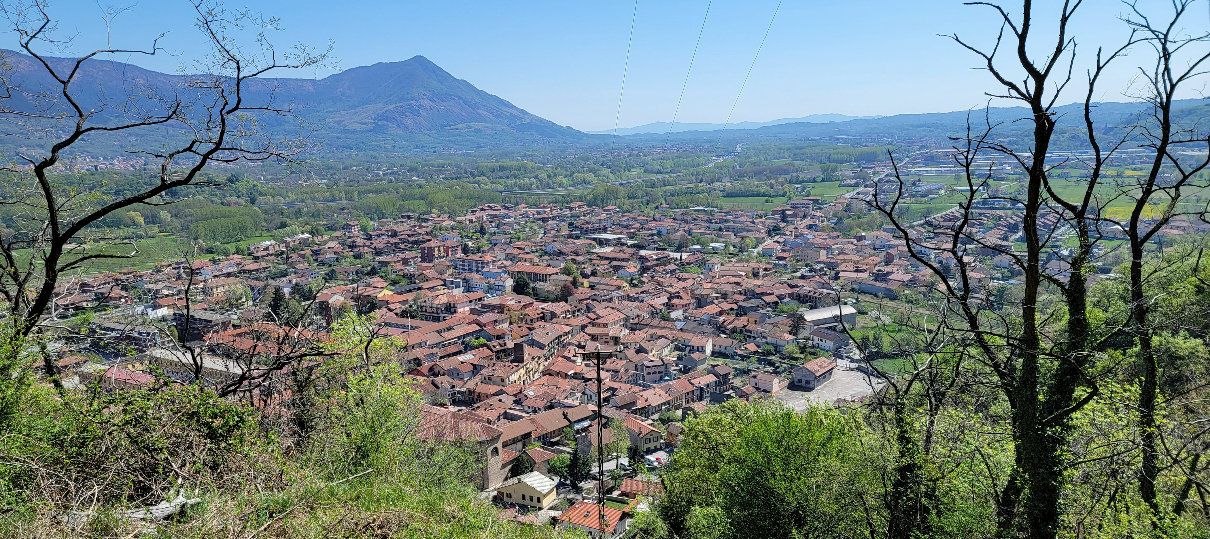
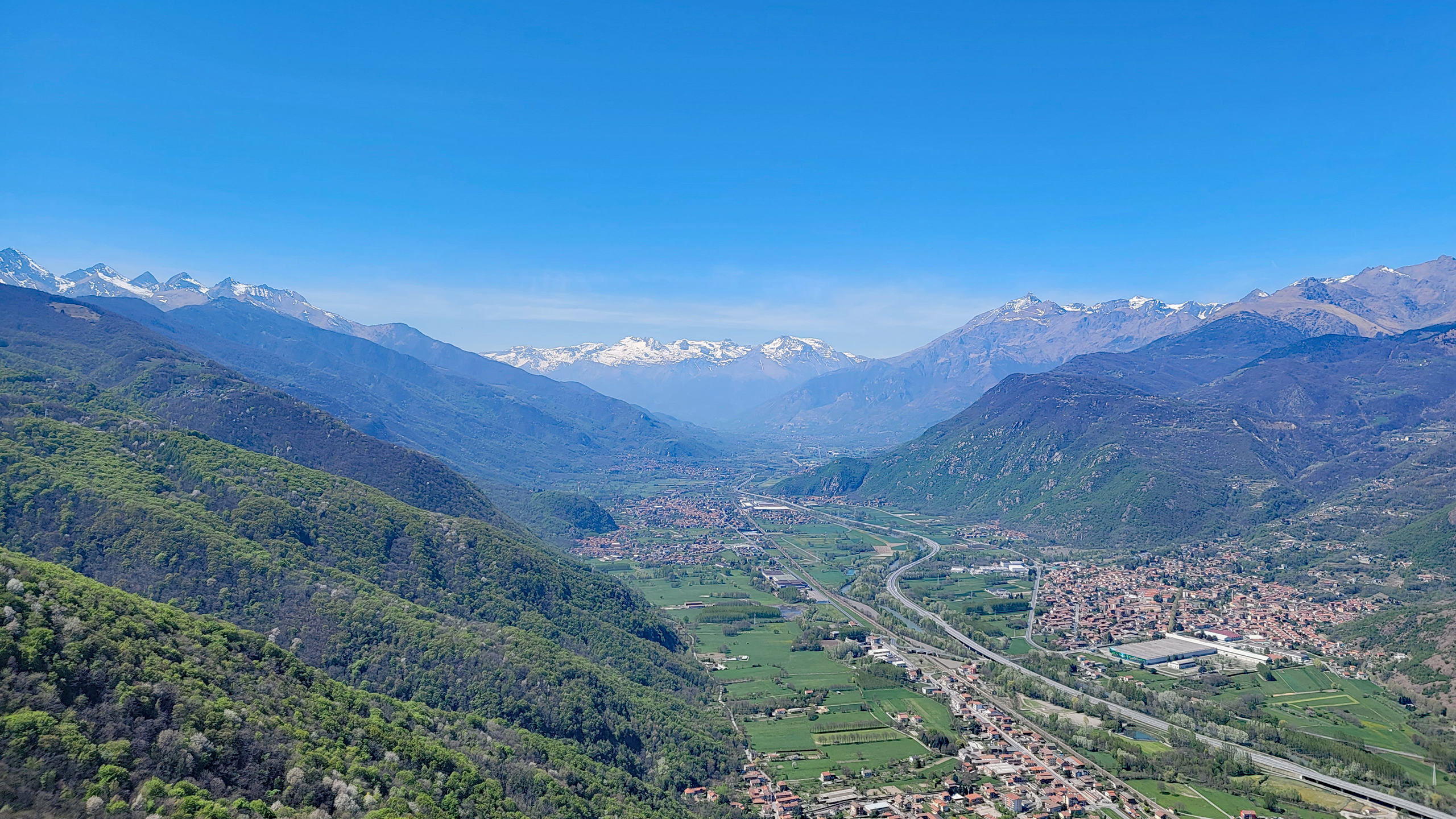
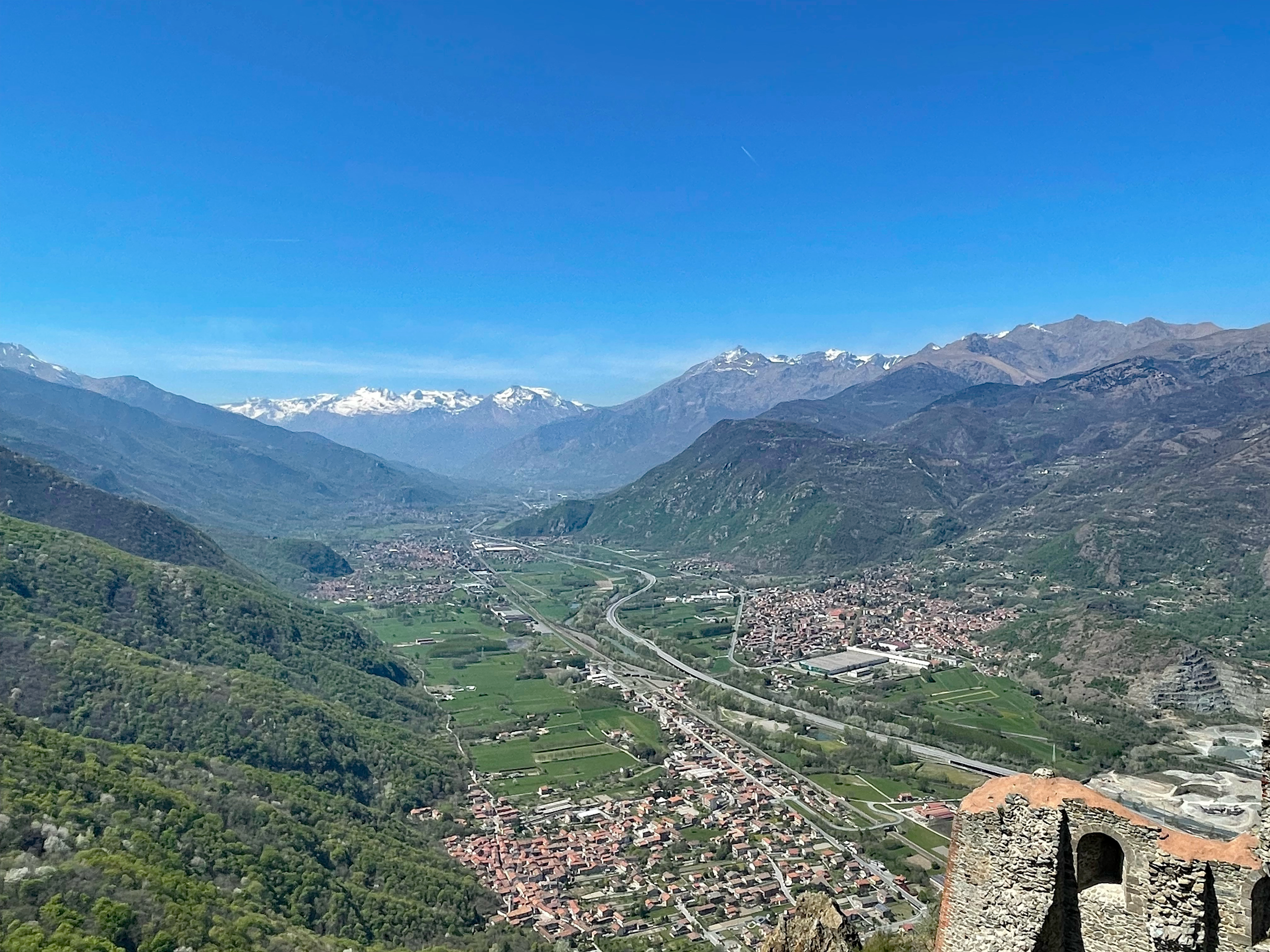
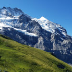
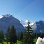
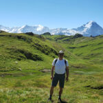
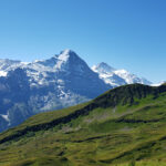
Malpertus to Bobbio Pellice – Overlook of mountains
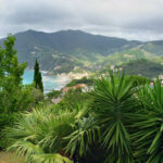
Malpertus to Bobbio Pellice – Patti in field along the trail
Malpertus to Bobbio Pellice – Beautiful Overlook
Malpertus to Bobbio Pellice – Beautiful Overlook
Malpertus to Bobbio Pellice – Beautiful Overlook
And a short video of Patti hiking the trail.
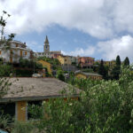
So that concluded our day hike from Malpertus to Bobbio Pellice, complete with Pranzo (that’s Italian for lunch). We found this a great short hike, with some points of interest along the way. So, if you are ever in the area, you should give it a try and enjoy the cool mountain air and beautiful surroundings. Ciao for now!
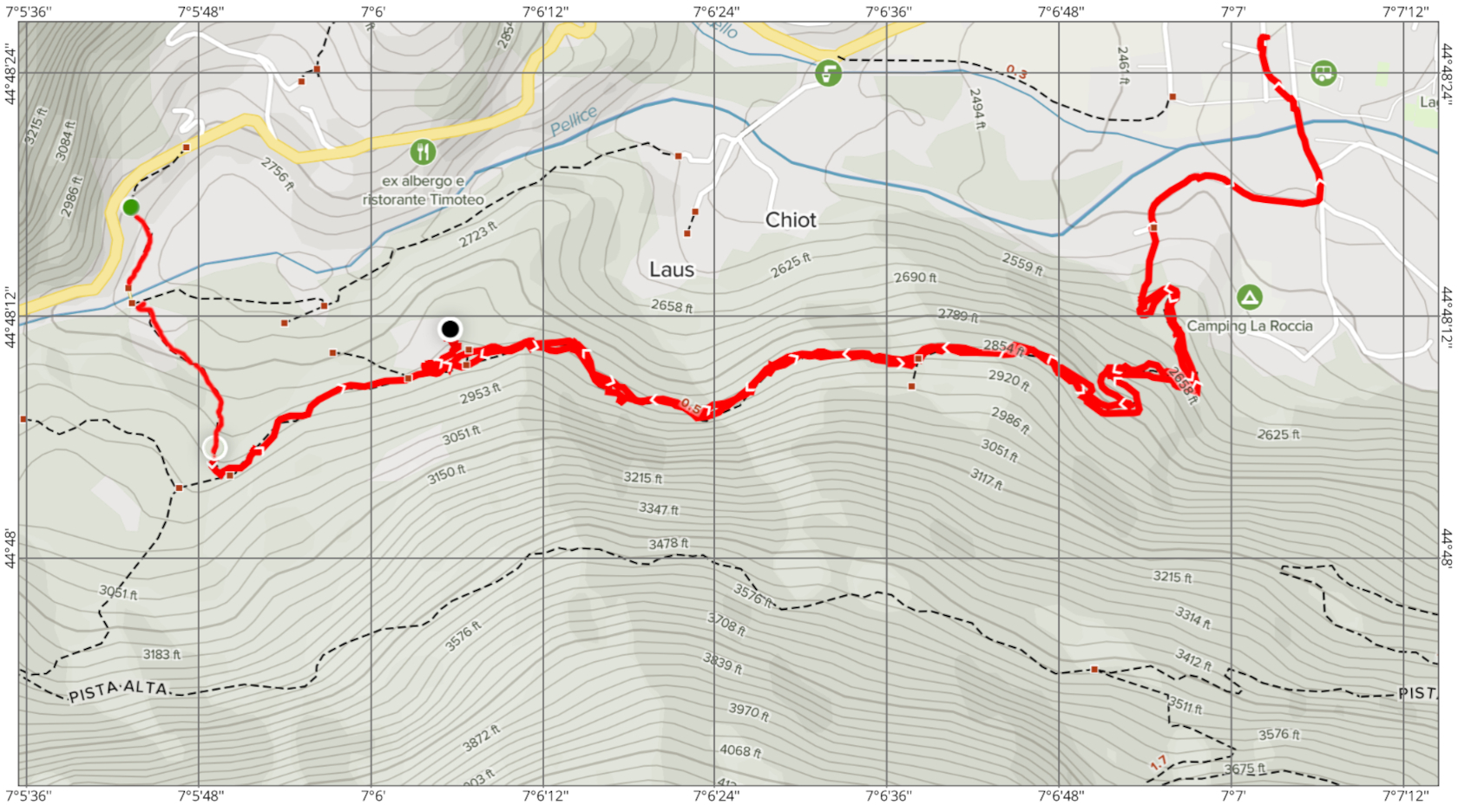
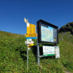
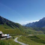
Trail Map
If you are interested in our trail map, see the image below. Or, while using standard and accepted security practices, feel free to download the PDF here.
Malpertus to BobbioPelice PistaBassa TrailMap, including Napolean’s Bridge
Usually when visiting one of Italy’s best kept secret cities, you would think that there wouldn’t be much to do for the outdoors enthusiast. But nothing could be further from the truth. Turin has a wealth of parks sprinkled throughout the city. Most are for casual pleasure, walking the dog, strolling the baby carriage or just a good jog.
The view from the Borgo Po, Corso Moncalieri, Turin
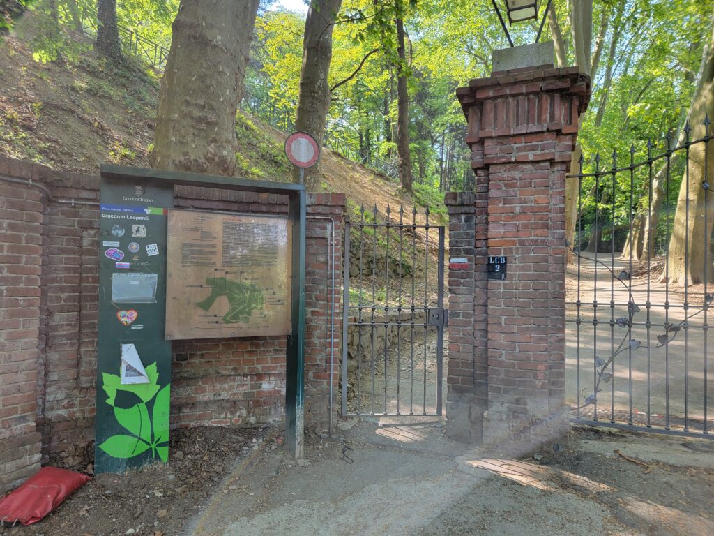
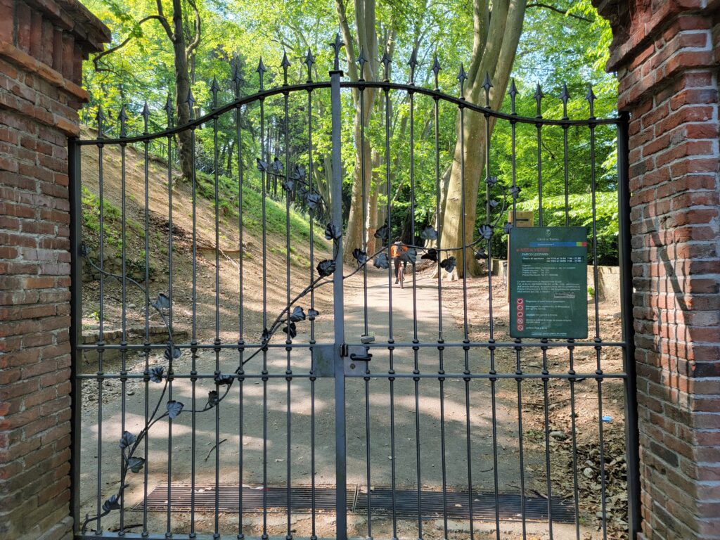
However, just a short mile and a quarter walk from our apartment in Turin is the entrance to Giacomo Leopardi Park. Here one can find a real hiking adventure, if you are so inclined.
Giacomo Leopardi Park
Once accessible via car, it is now only open to the public via the pedestrian access and can be entered by casual walkers, hikers and any cyclists willing to dare its steep slopes.
Giacomo Leopardi Park, Turin – Entrance
Giacomo Leopardi Park, Turin – Entrance
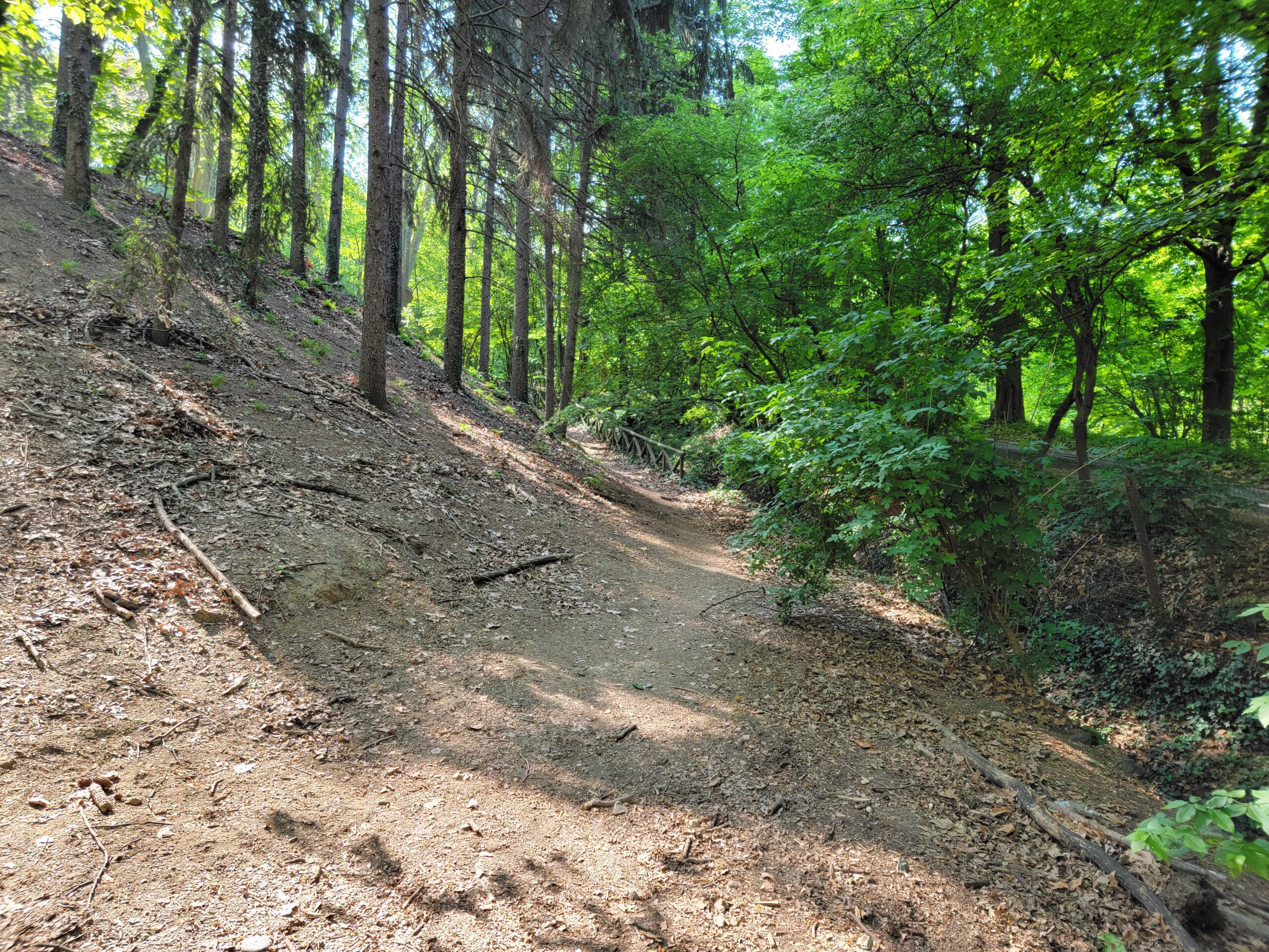
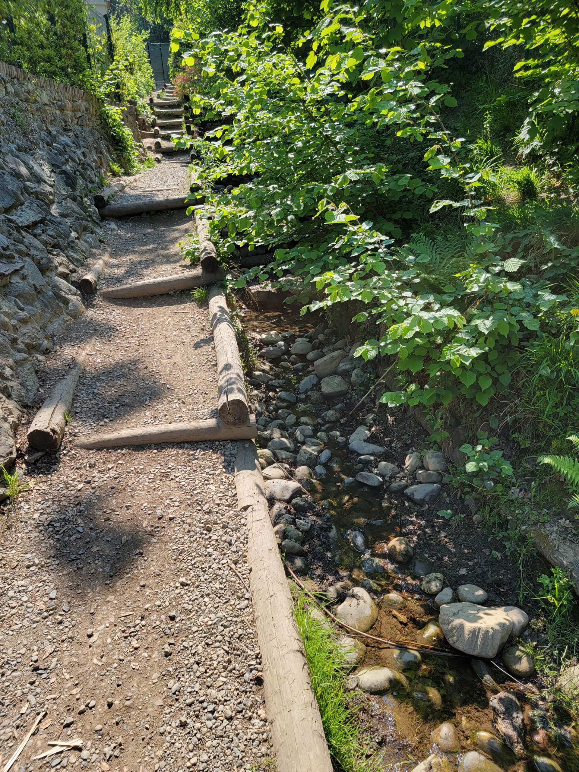
The park still maintains a roadway that may be walked, but for the more adventurous, there are several hiking trails that take a more direct route upwards.
Giacomo Leopardi Park, Turin – The Trails
Our initial thoughts were to make the entire hike up to Mount Eremo, visiting the Parco di San Vito along the way. However, Alltrails Pro, the portable phone application we use, gives only one value, instead of a range, for the length of time it might take you to reach your goal, which of course may not fit into your body’s aerobic or fitness calculus. So you may want to add additional time to any of the ‘moderated accepted hikes’, in order to account for any stops, water or photography breaks.
Hiking the road
Some stairs to hike
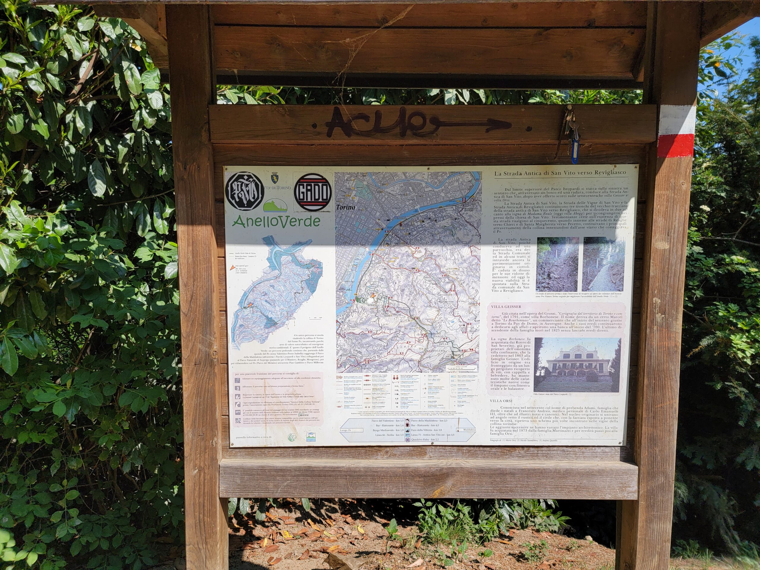
The hiking trail is well signed
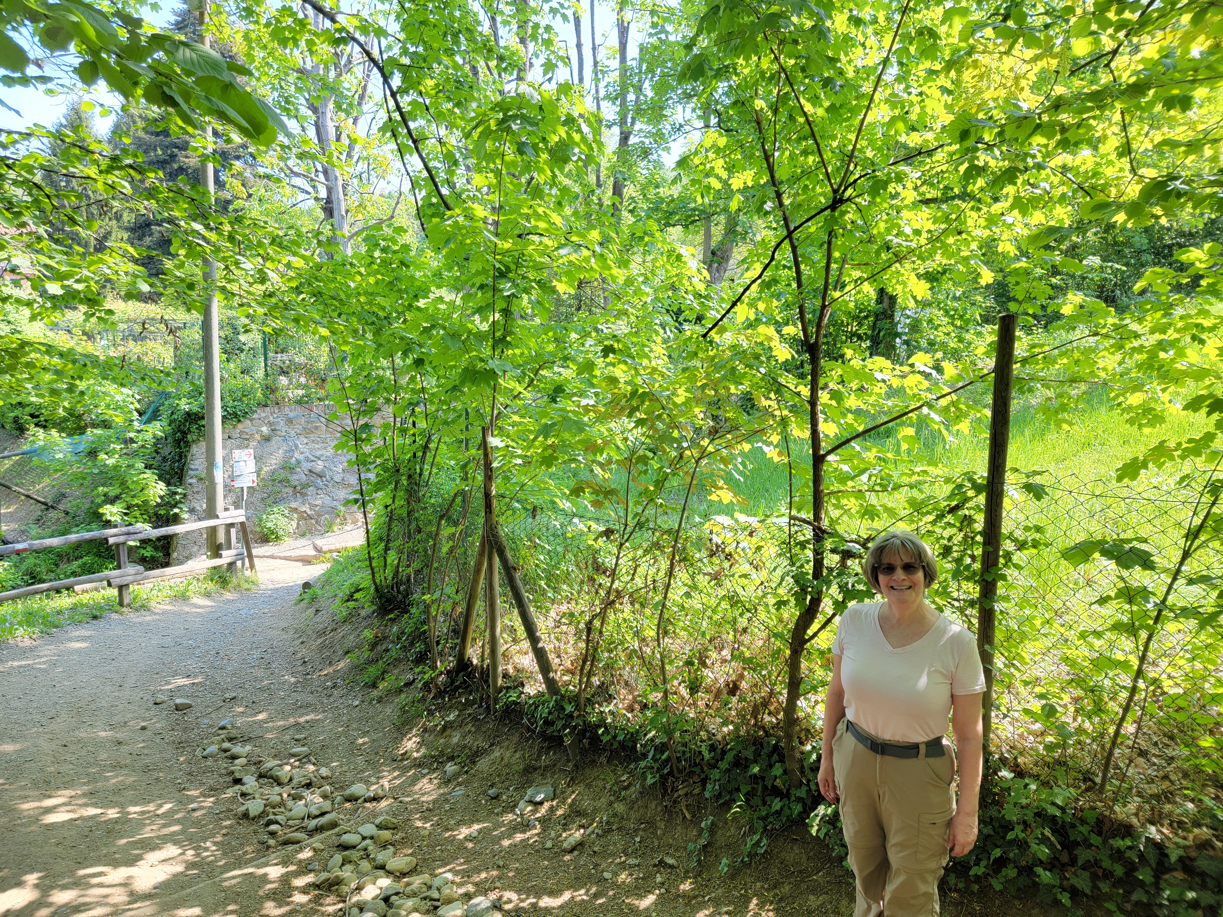
Patti on the trail
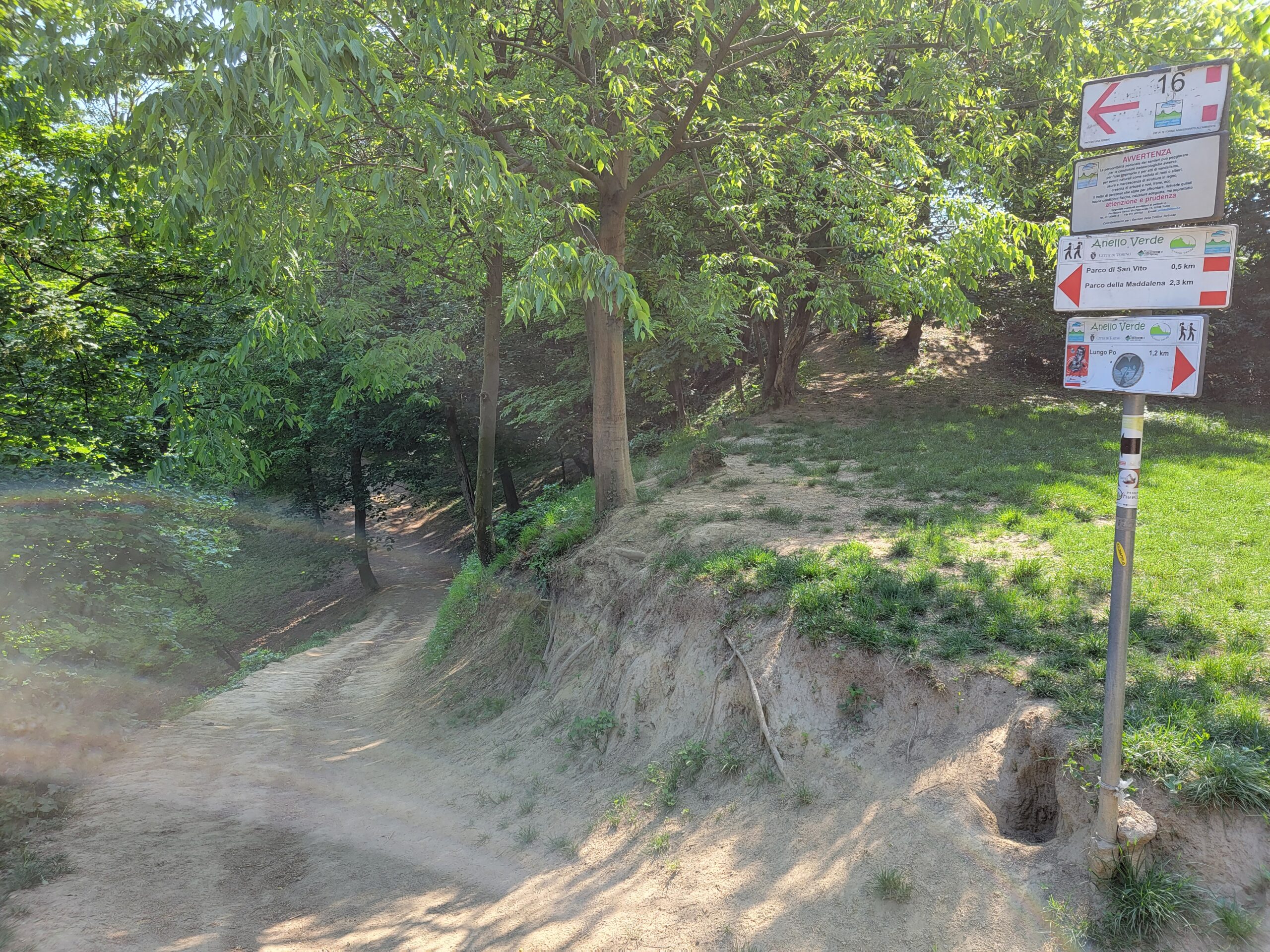
Again, the trail is well signed
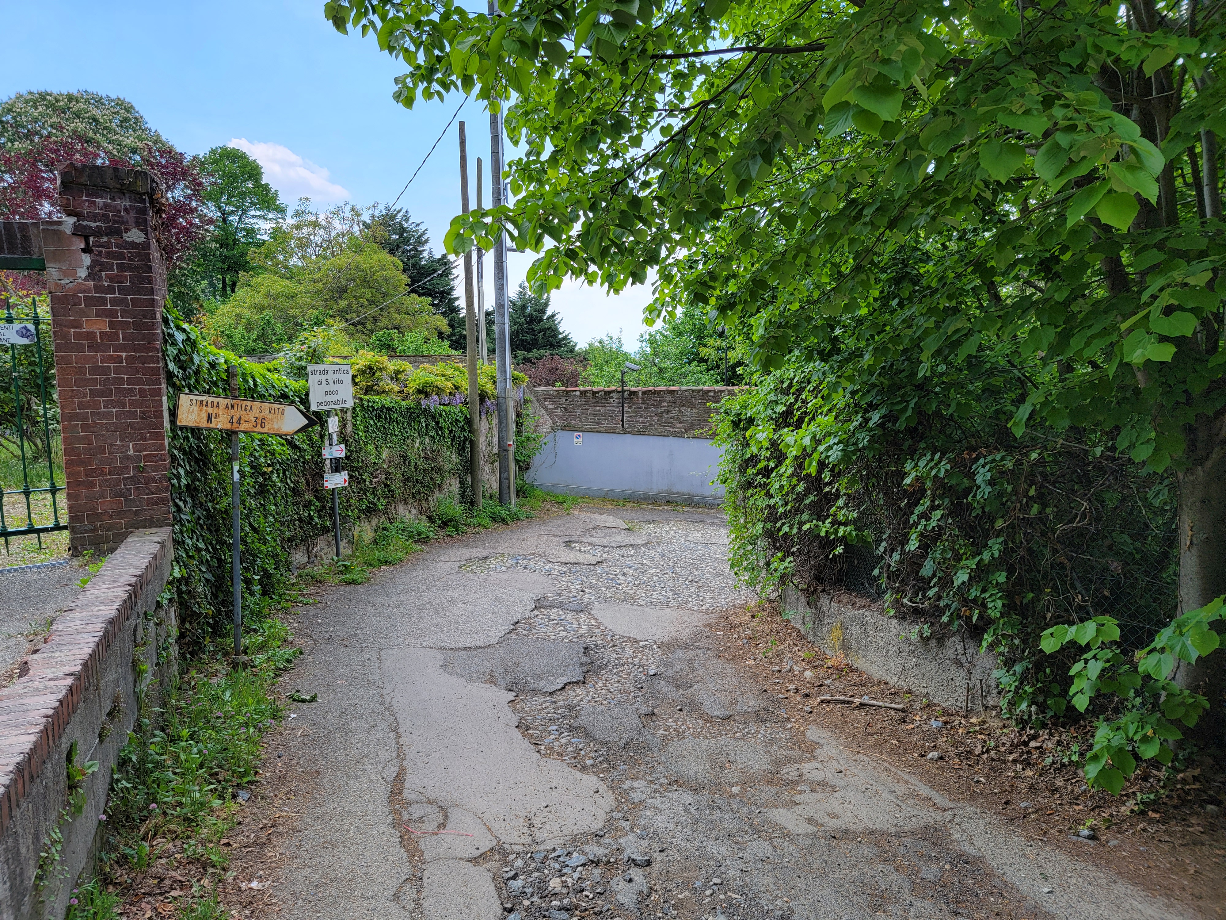
The link between this park and the next one, Parco di San Vito, entails some roads and real hiking.
San Vito Park
You will find the Parco di San Vito about a third of the way up to the Colle della Maddalena, or Mount Maddalena.
San Vito Park
A view of the city from San Vito Park
One of the amazing things about Turin, and Italy in general, is there willingness to not poison everything. Unlike America, they do not run out and get a can of weed killer or herbicide when something springs up that does not look like a sanctioned type of grass. Hence, the fields at the park actually have many types of wild flowers, bees and crickets! So do not expect dead silence when hiking here, like you would in most city parks in America.
After this park, we hiked a bit further up the mountain towards a small picnic area located on the map. Our plans after two hours of hiking modified somewhat, since at this point we were only halfway to our original destination.
The trail above San Vito
Patti hiking the trail above San Vito
Patti on the trail above San Vito, wild flowers are everywhere
The trails up through this stretch of woods were a bit more undeveloped and natural, the floor of the woods covered with different flowers.
Flowers hiking Turin and Parc di San Vito
Flowers hiking Turin and Parc di San Vito
Flowers hiking Turin and Parc di San Vito
Flowers hiking Turin and Parc di San Vito
Flower at picnic area Bert
Flowers in picnic area Bert
Flowers hiking Turin and Parc di San Vito
Flowers hiking Turin and Parc di San Vito
Flowers hiking Turin and Parc di San Vito
Flowers hiking Turin and Parc di San Vito
The hike through the woods continued for about another three quarters of a mile or so, and we were thinking of modifying our plans for the day.
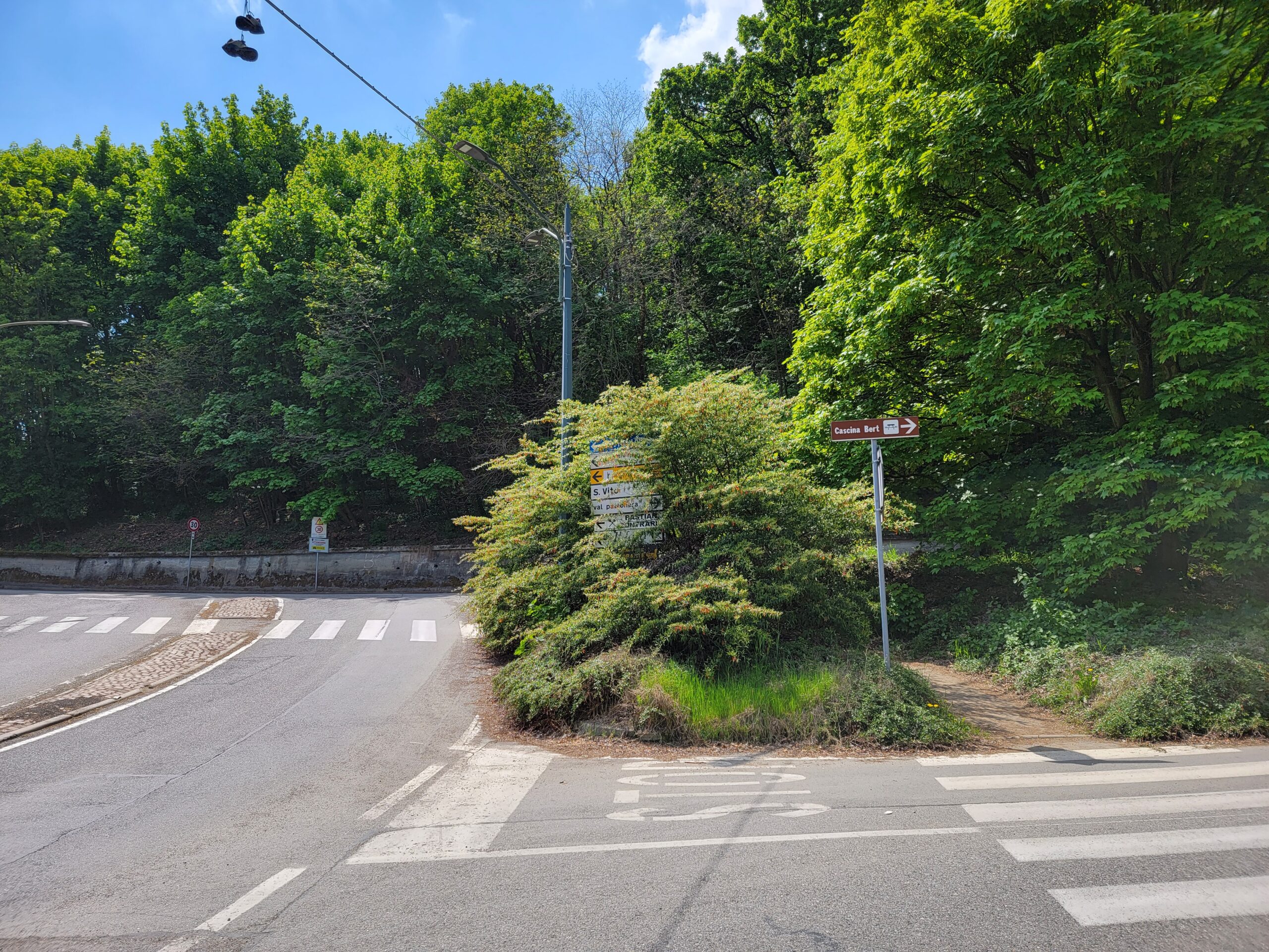
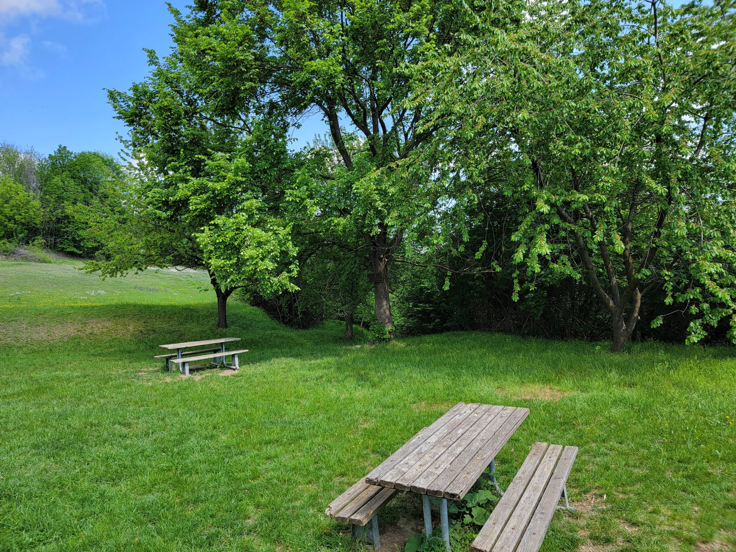
Picnic Area Bert
After coming off the trail and turning around a bit on Quadriva Raby, you may head back and get back on the trail from Cascina Natura Pro Natura. A small picnic area on the side of the hill with a small field, some facilities if you are inclined and a picnic bench for lunch, or just a drink of water and a cliff bar.
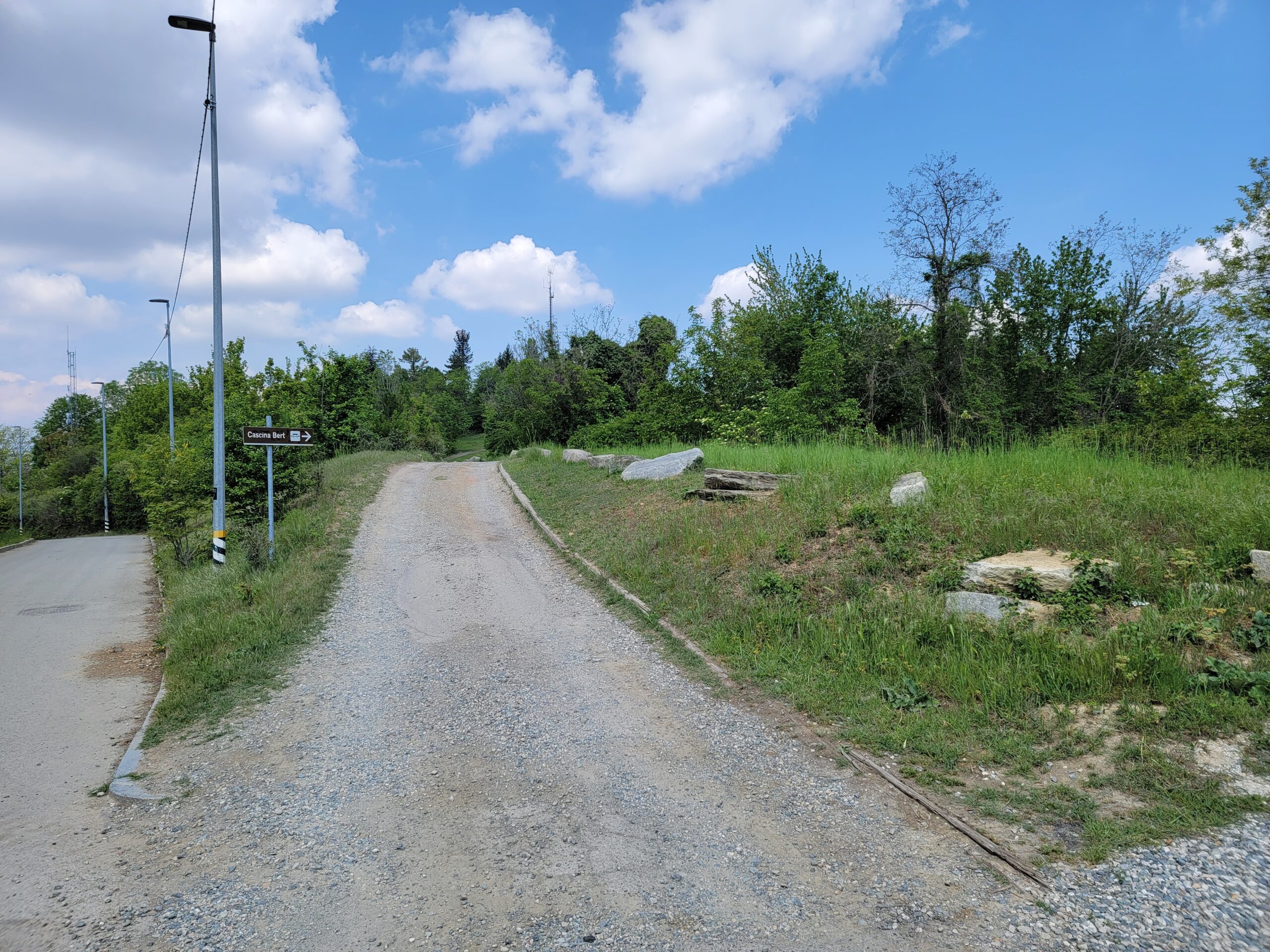
Hiking the road up to Cascina Bert
The road up to the picnic area
Picnic area – Pro Natura Torino – Cascina Bert
The trail head down is located just to the left of that last picnic bench above. A marker can be found on the tree. However, if you miss this, there are signs and a map by the parking lot and buildings that are over to the right.
Bird Song and Fifteen Seconds of Calm
This is actually an amazing hike and you will find yourself stopping frequently just to enjoy the quiet and being out of the city for some respite.
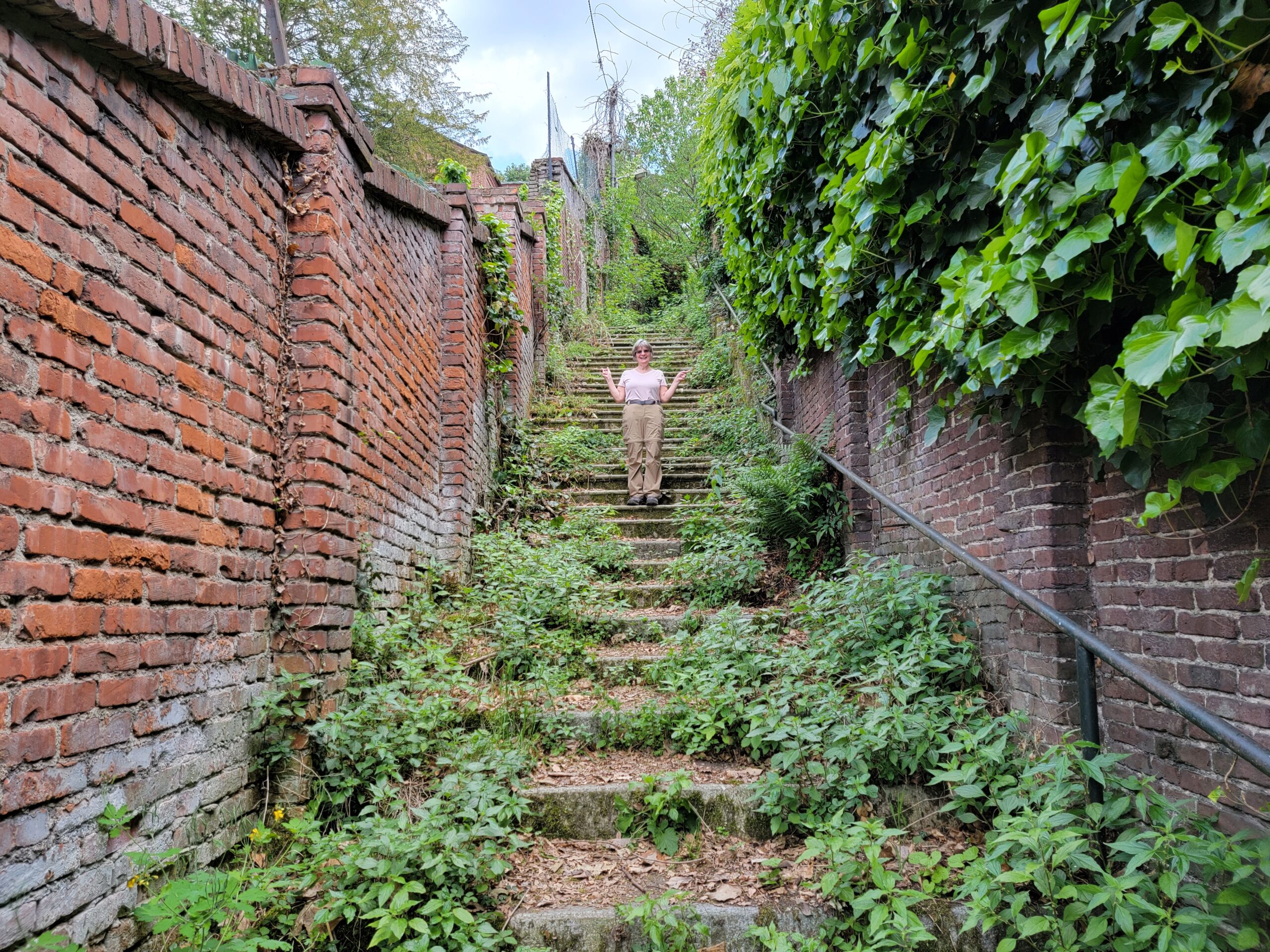
Patti on a city stairwell in the Borgo Po area
Upon returning to Turin after about three and a half hours of hiking bliss, we took some shortcuts and discovered to what extreme Turin is willing to let some things go natural. Just goes to show, without humans around just how fast nature is willing to reassert itself.
For those wanting and willing to see the Sacra di San Michele and experience this great church and its views, one must hike the three or so kilometers and one kilometer ascent in order to really enjoy what the builders had accomplished here. Not only is it a feat of Middle-Ages engineering and stubbornness, its shear existence defies rationality, and so may I add hiking up to it. Well maybe not exactly, but you should be prepared. We saw many individuals when we were descending wearing the wrong type of shoes, etc. More on that later.
Sant’ Ambrogio – Getting There
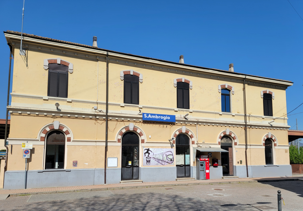
A thirty three minute train ride from Turin’s train station Porta Nuova will get you to Sant’ Ambrogio and the beginning of your climb. Let me add, before we begin, that you may drive up to the church; but then you would be among the majority of people there and just mere tourists.
The train station – San Ambrogio
The train station is spartan and leaves you off on track one to enter this small town or hamlet directly. Returning you will have to find the stairwell to the right of the train station and walk under the tracks.
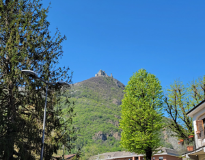
First sight of Sacra di San Michele from train station – Sant Ambrogio
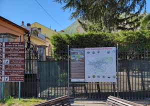
Welcome Sign – Sant Ambrogio
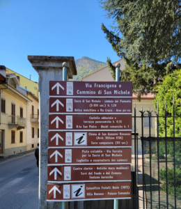
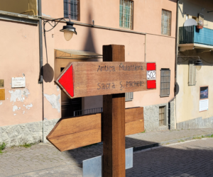
Hiking Trail Signs – Sant Ambrogio
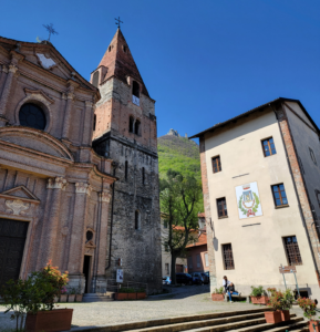
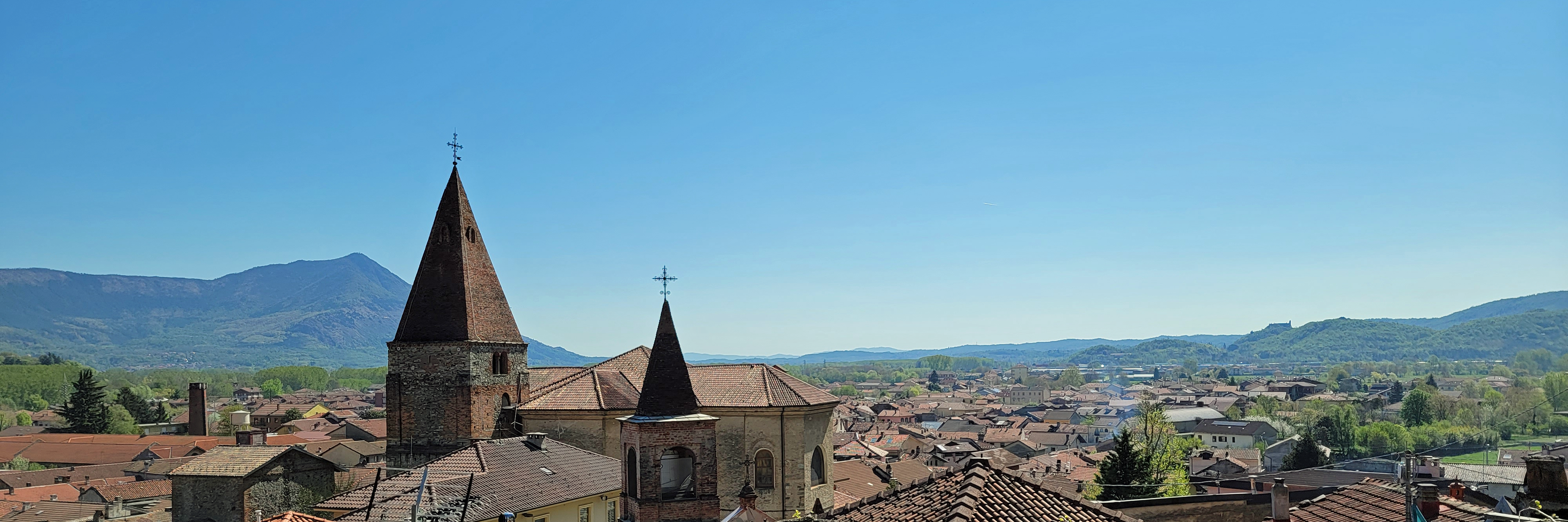
Sacra di San Michele from inside the town – Sant Ambrogio
A sleepy town on Pasquetta (day after Easter) – Sant Ambrogio
A view from the Church of Saint Giovanni Vincenzo – Sant Ambrogio
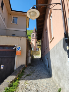
The trail starts and the Church of Saint Roch – Sant Ambrogio
Follow the signs for two hours – Sant Ambrogio
We arrived the day after Easter Sunday, or as the remembrance in Italy has it for Roman Catholics, Pasquetta [1]Also called, Lunedì dell’ Angelo, which is meant to remember the women of the sepulcher, including Mary Magdalene, who were comforted by an angel when they returned to Jesus’ tomb and found it … Continue reading The town was more or less empty, so our ideas about a quick climb up and back and an early lunch soon vanished.
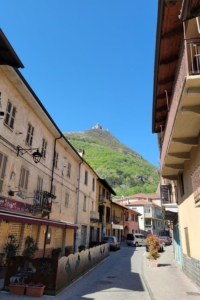
On the way up, the rooftops of the town – Sant Ambrogio
The walk through the town was short and without incident, in fact, we were mostly accompanied by the individuals who left the train with us, residents of the town having already left for the long weekend or enjoying amenities inside and their extra day off.
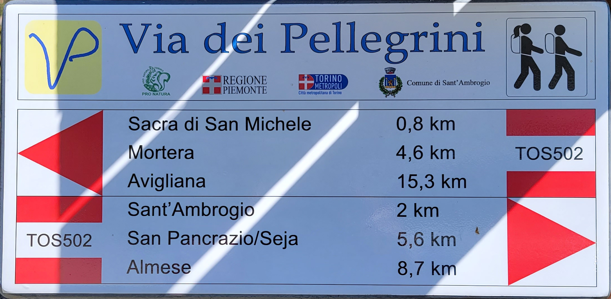
Parco Naturale Orsiera – Sentiero Trail 502
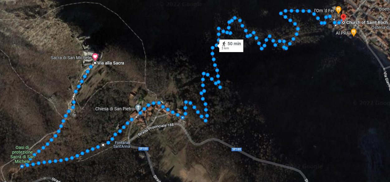
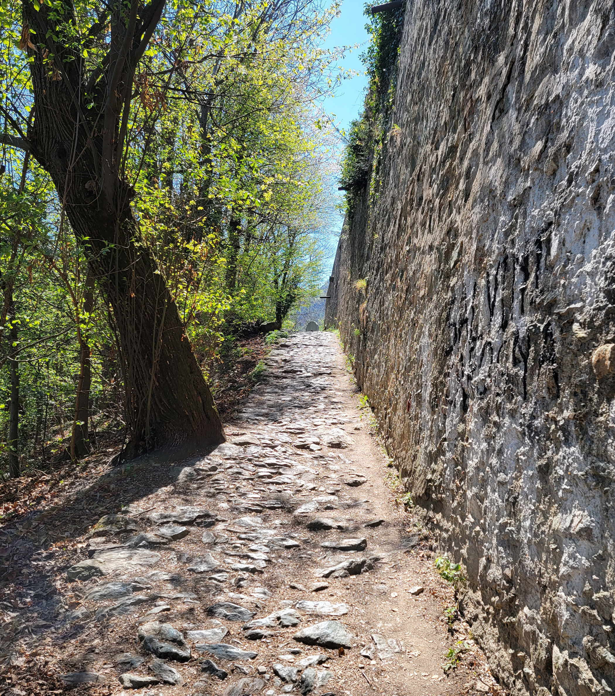
Using the Sentiero Trail 502, or TOS 502, we quickly left the town and started our ascent up the most north-eastern mountain or hill of the Parco Naturale Orsiera. An almost one kilometer ascent for three kilometers with slopes ranging in steepness of three to twenty percent, and I would conjecture most were in the double digits.
This 3 km rises 1000 meters and takes about 1 and a half to 2 hours to hike – Trail Map
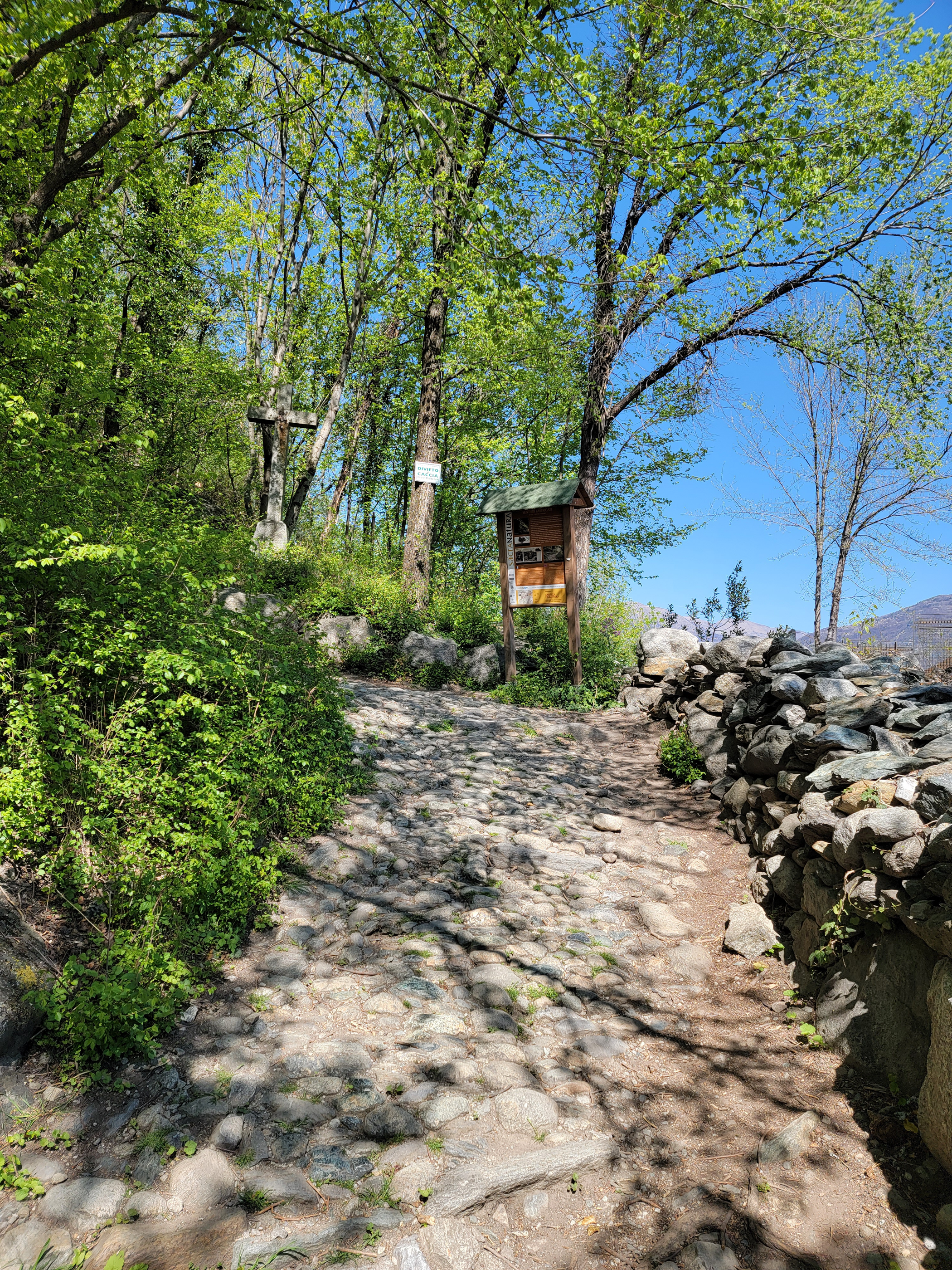
The trail was for the most part cobbled with round and larger stones, some which have a remarkable green color, are shiny and very slippery. Proper shoes are important, though it is possible to navigate the trail with tennis shoes or sneakers.
A welcoming sign, this is the right trail – Sentiero Trail 502
The Trail has Cobble and other Stones all the way up – Sentiero Trail 502
Patti navigating the trail – Sentiero Trail 502
Patti on another turn – Sentiero Trail 502
Sant Ambrogio Panorama – Sentiero Trail 502
At a higher elevation, overview of Sant Ambrogio – Sentiero Trail 502
Sant Ambrogio from Sentiero Trail 502
Patti still climbing – Sentiero Trail 502
The flowers on the trail – Sentiero Trail 502
The flowers on the trail – Sentiero Trail 502
The flowers on the trail – Sentiero Trail 502
Coming to first ending of trail – Sentiero Trail 502
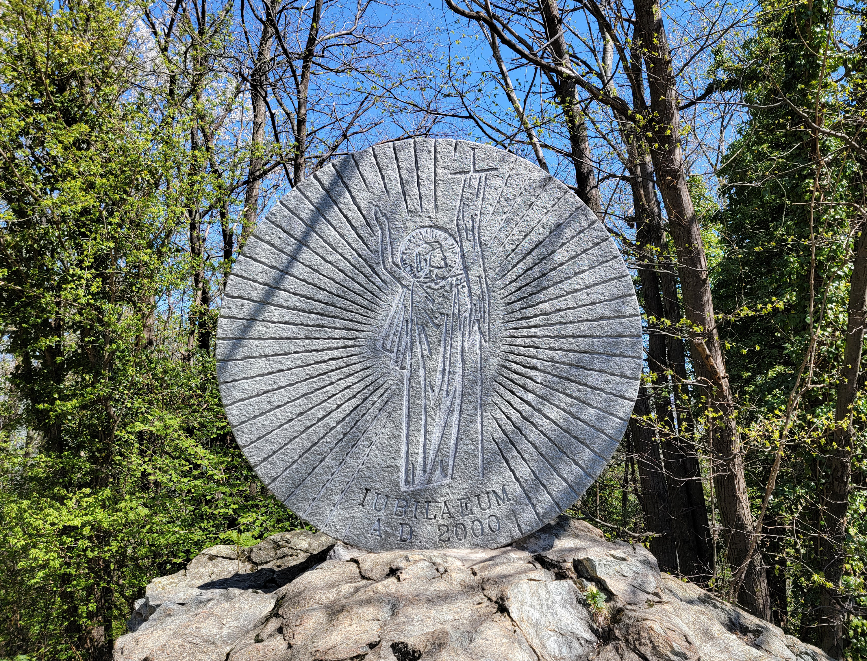
Upon exiting the trail at a collection of houses, and an interim point in the hike, you will find a large commemorative stone.
Commemoration Wheel 2000 – Sentiero Trail 502
Then you will make a hairpin turn and look up, only to see that your hike up is STILL NOT OVER!
Still a long way up to go – Sentiero Trail 502
Checking the signs indicate approximately another kilometer to hike, which took us about twenty minutes.
Trail Sign, another .8 km to go – Sentiero Trail 502
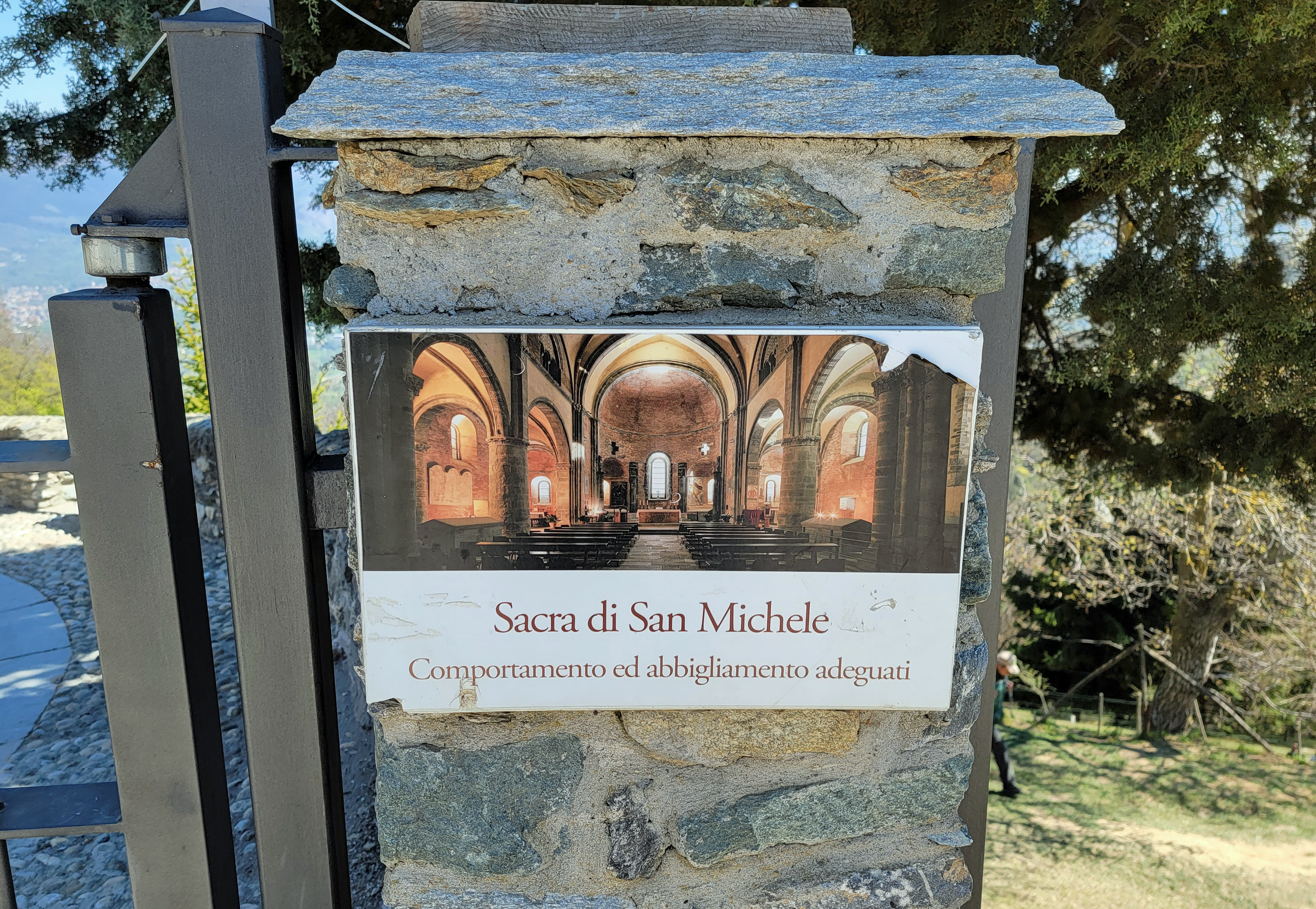
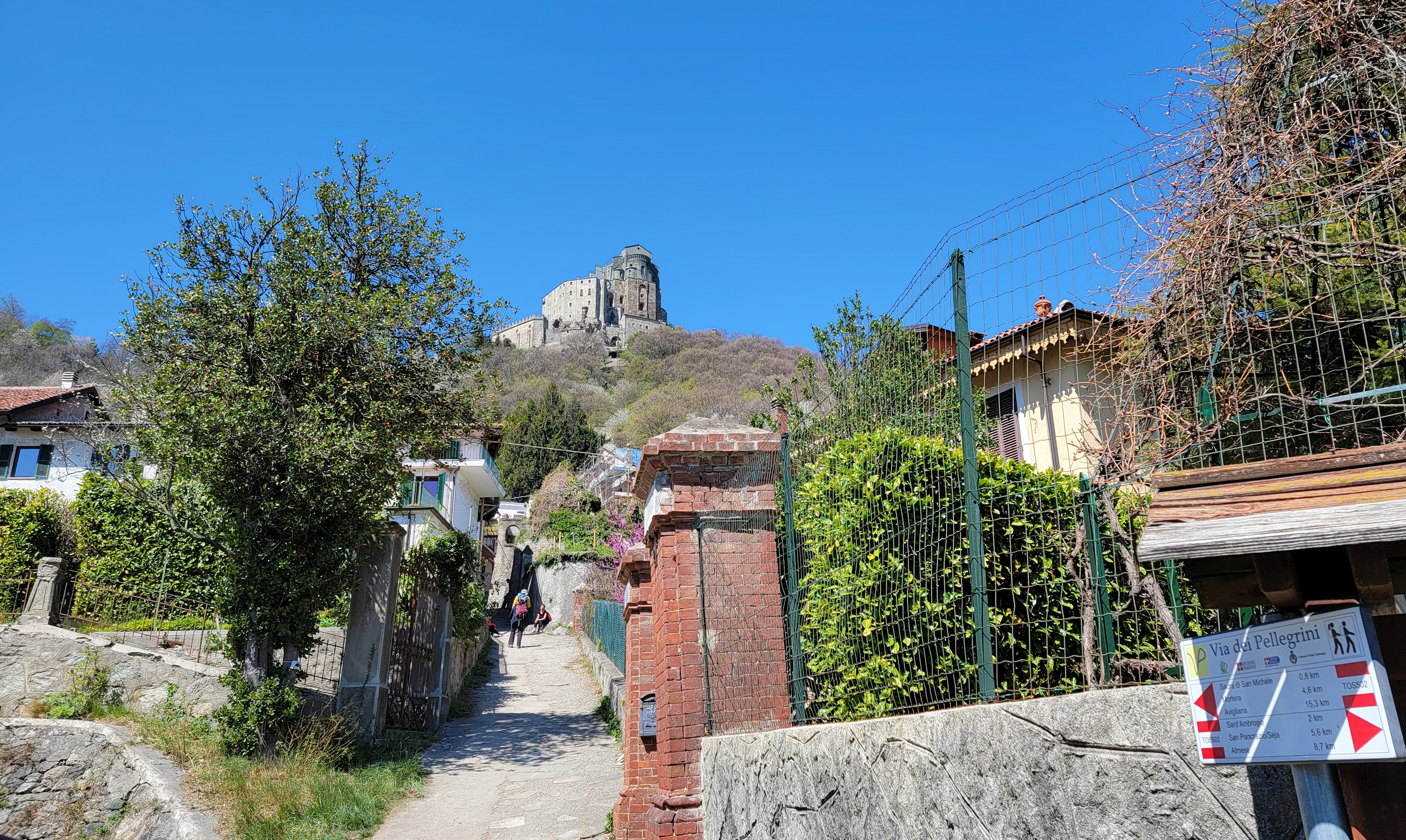
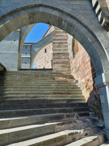
After the last more modest climb you will walk onto a road, where all the other tourists are walking into from the parking lot. The attraction has a large sign explaining the layout of the church and its grounds.
Sign at entry to Sacra di San Michele
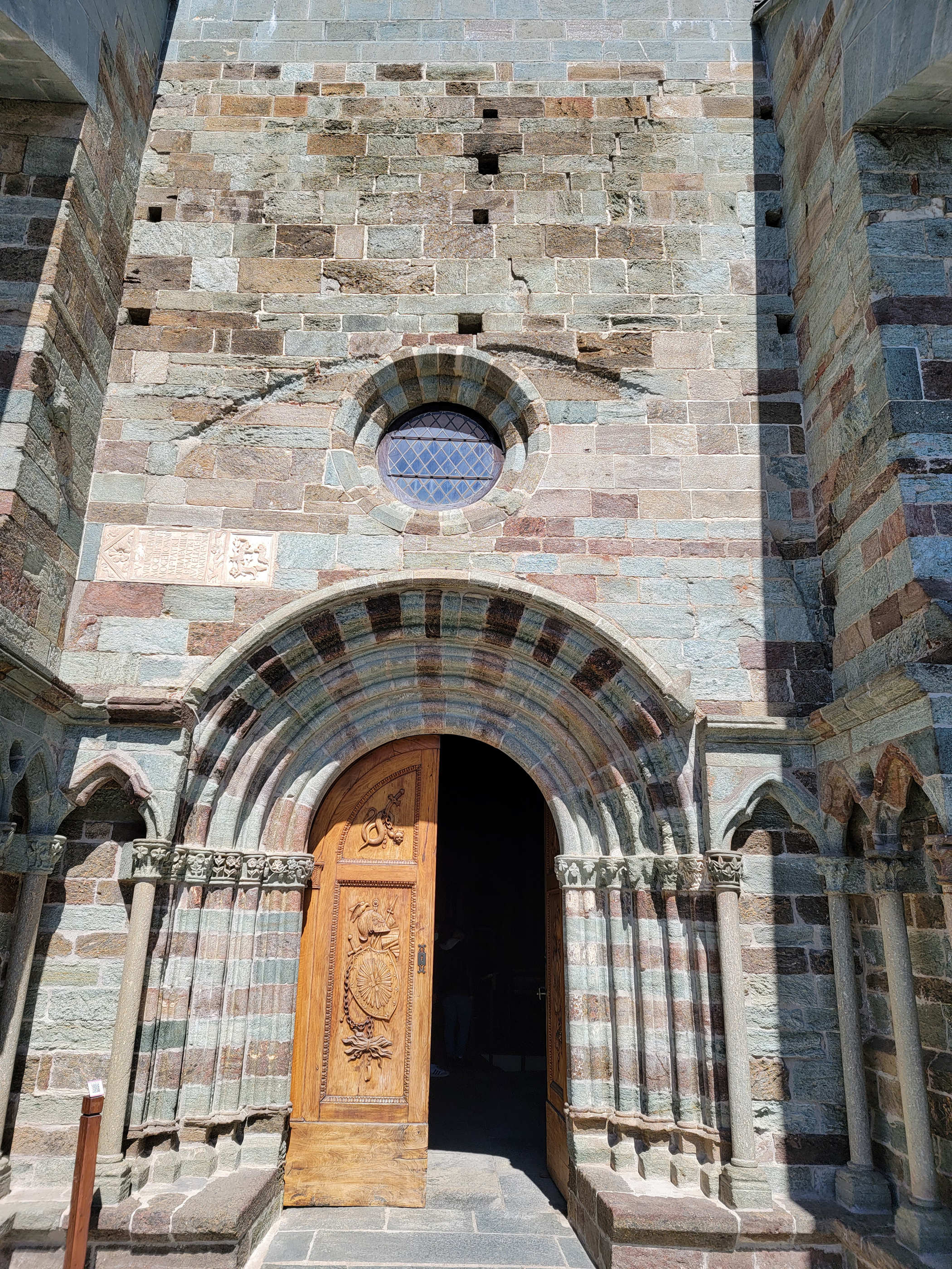
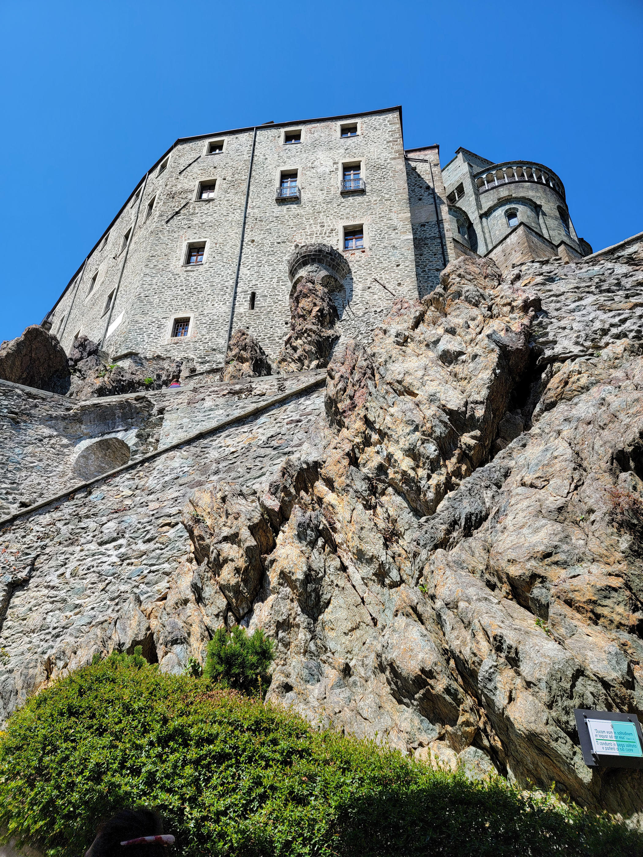
Sacra di San Michele
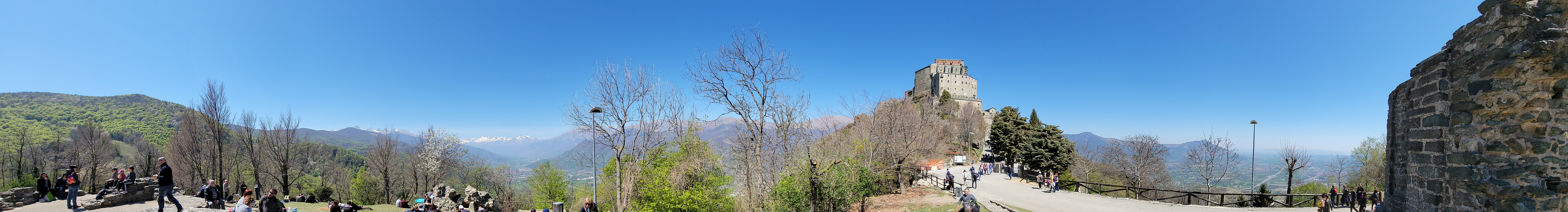
Once near the church of Sacra di San Michele, the magnificent views are apparent. With its perch high on a rocky crag, the church has a commanding view of the valley below.
Panorama before church at end of trail
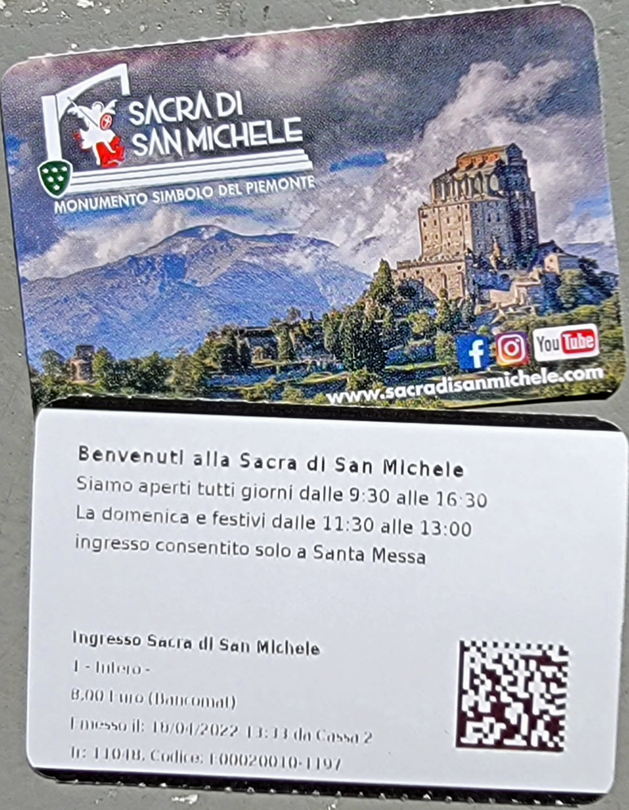
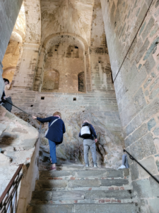
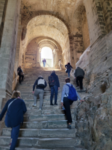
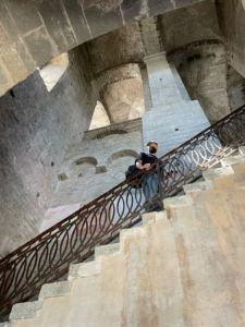
Walking up to the church you will find a small building to the right that sells postcards, other tourist paraphernalia and entrance tickets. Once purchased, a turnstile to the left has a QR code reader that will let you enter, then you must start climbing stairs, an unwelcome sign after our long journey.
Tickets for Two – Sacra di San Michele – Sant Ambrogio
Stairs inside – Sacra di San Michele
More stairs – Sacra di San Michele
Erick with Covid mask on ascending more stairs – Sacra di San Michele
Again more stairs – Sacra di San Michele
The remainder of our visit consisted of just enjoying the church and the beautiful views. My wife chose this day because the weather promised to be wonderful, we were not disappointed, it was sunny and in the low 60°s Fahrenheit, perfect for hiking.
Finally, the entry – Sacra di San Michele
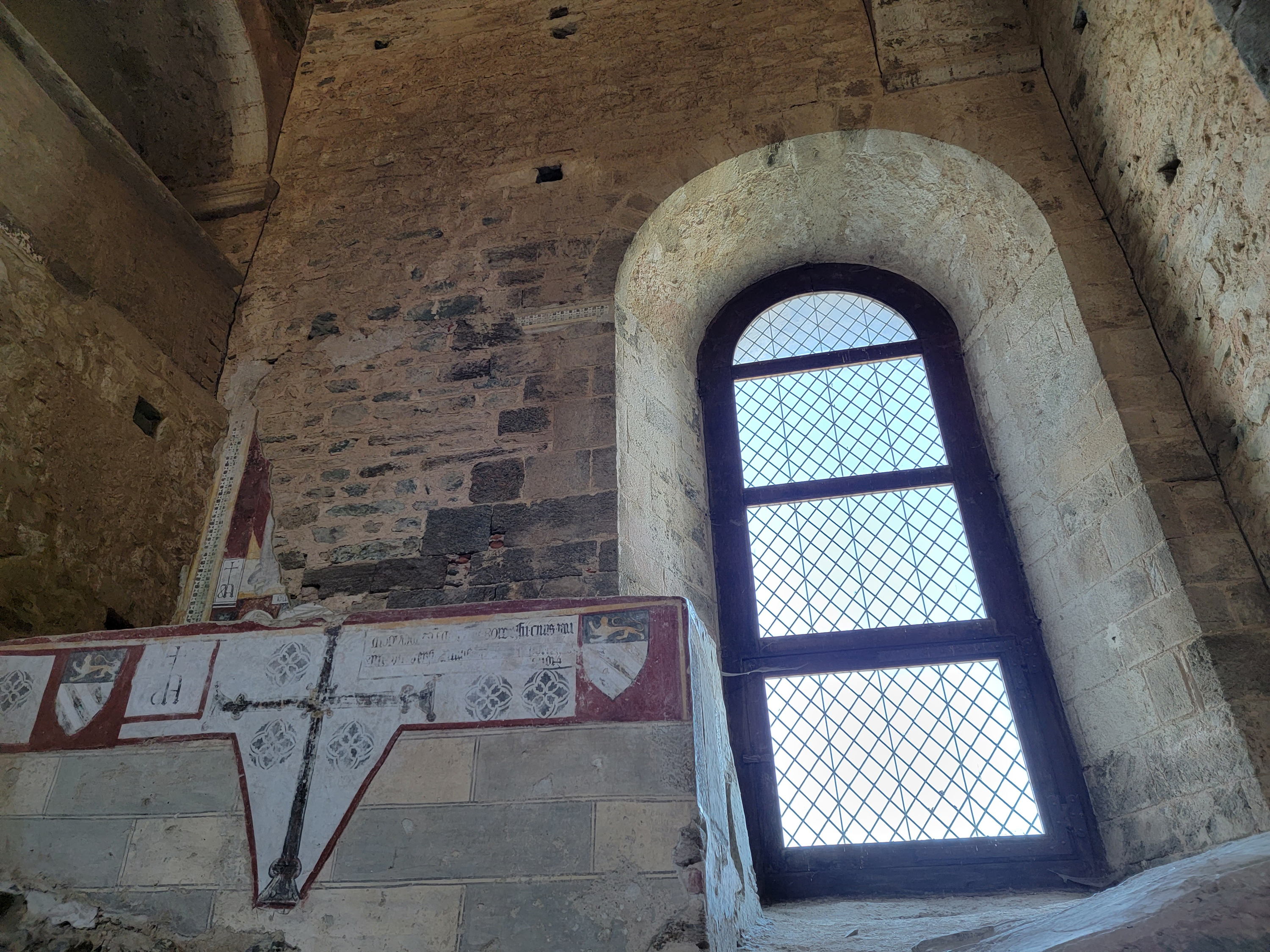
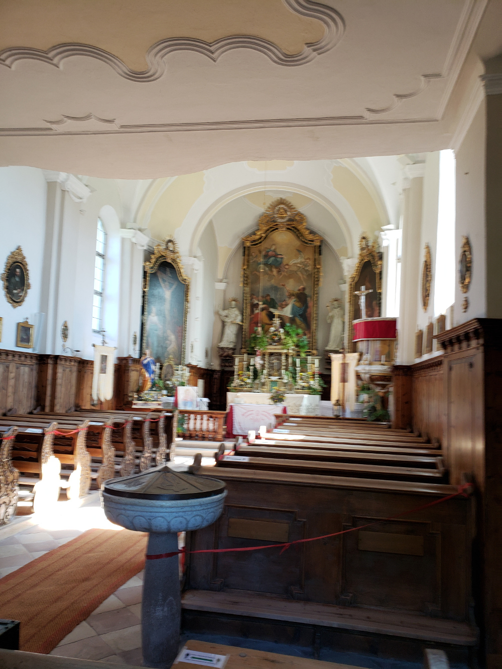
Mosaics on walls – Sacra di San Michele
The main altar – Sacra di San Michele
Commemoration of the Crucifixion – Sacra di San Michele
Inside the church – Sacra di San Michele
Portraits – Sacra di San Michele
Large Fresco – Sacra di San Michele
Altar – Sacra di San Michele
Spectacular views, by the entrance of the church doors – Sacra di San Michele
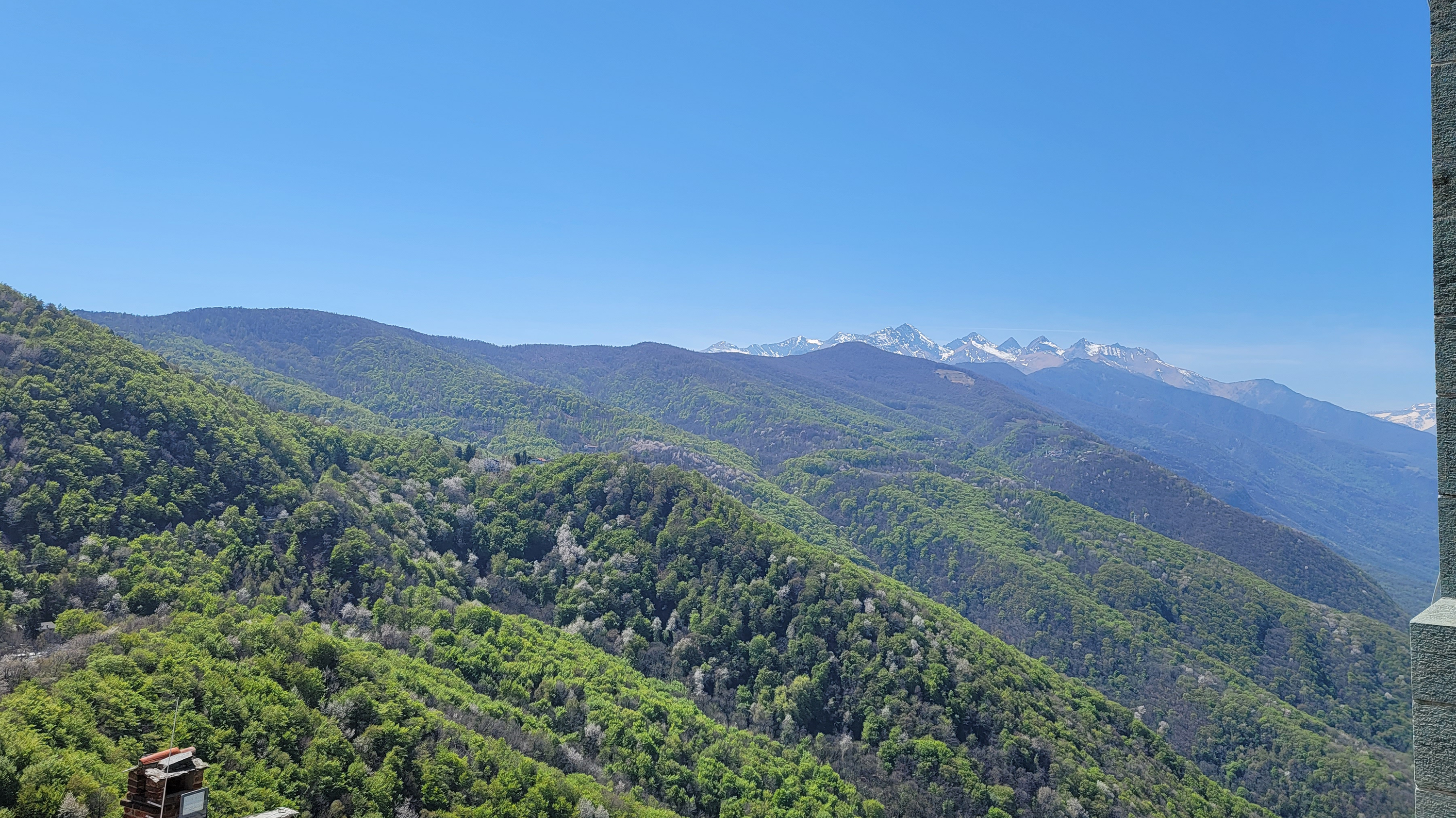
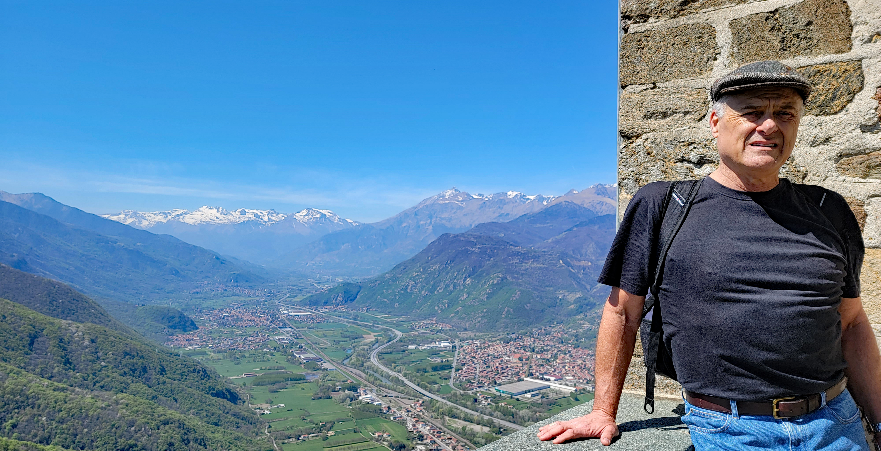
Erick and a view of the Cottian Alps by the church entrance – Sacra di San Michele
The end of the valley and a view toward Turin
The Cottian Alps and the valley floor looking towards Susa, taken by the church entrance – Sacra di San Michele
Patti and a view of the Cottian Alps by the church entrance – Sacra di San Michele
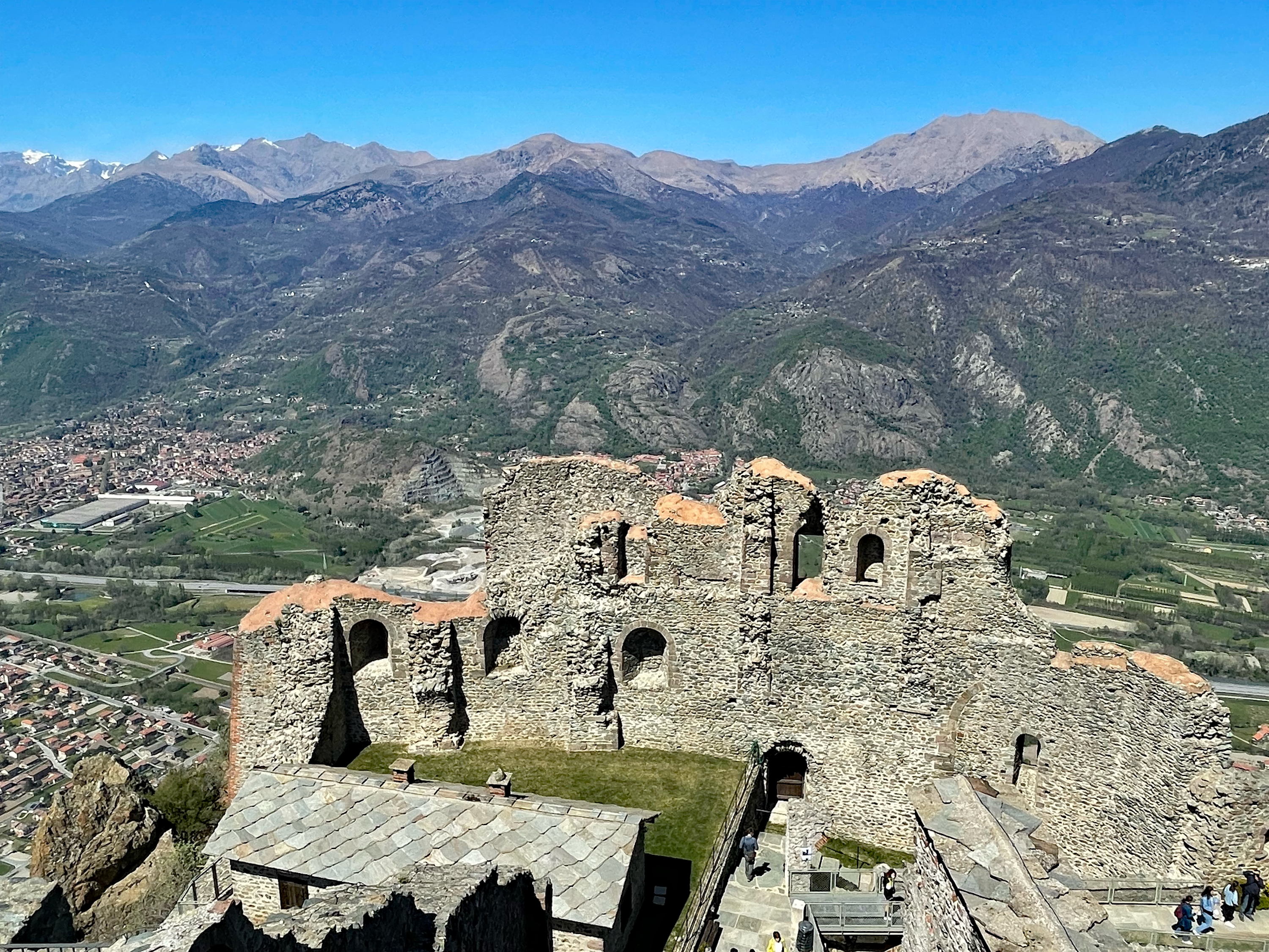
The Susa Valley and Cottian Alps from behind the church – Sacra di San Michele
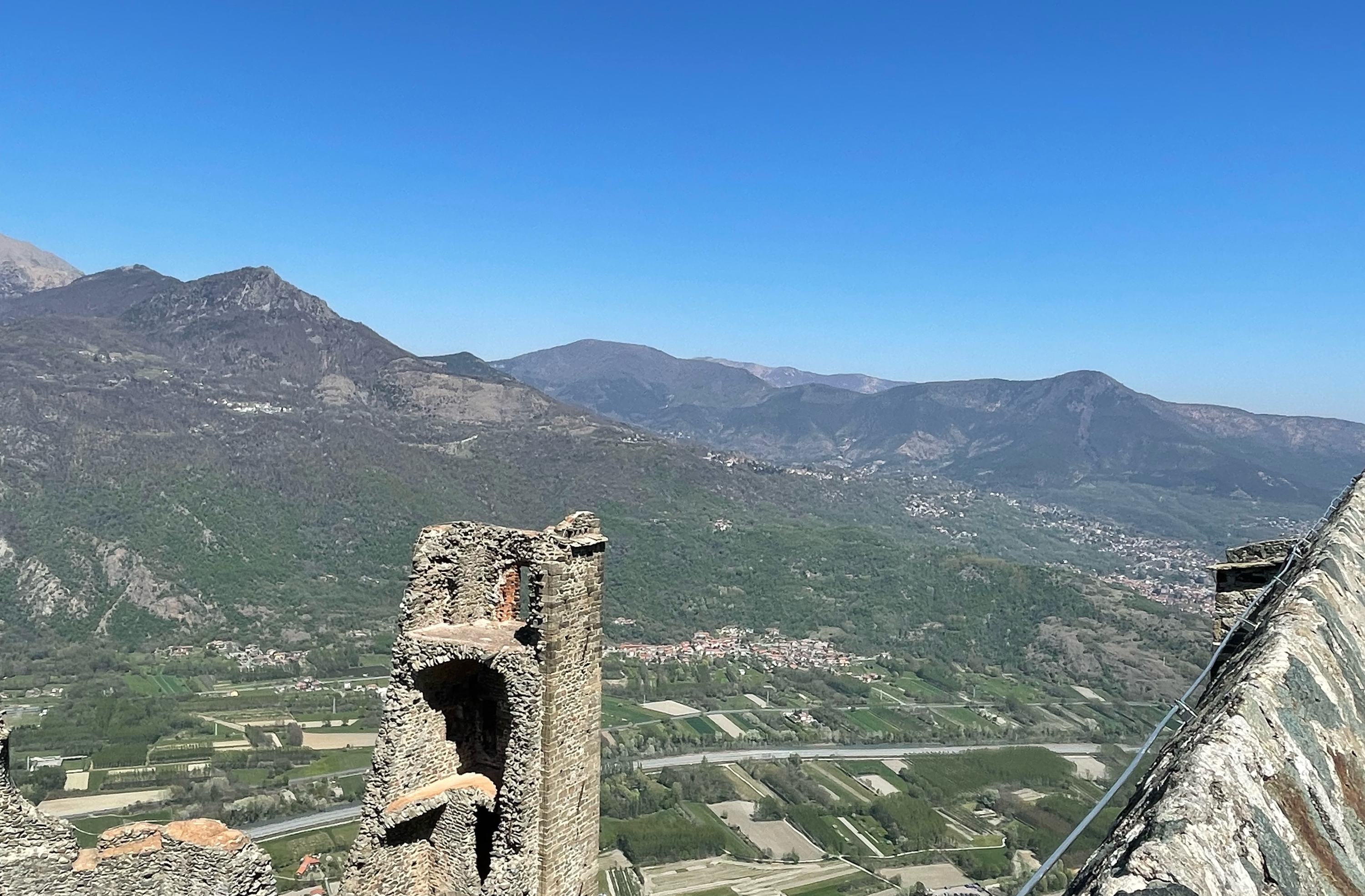
Looking across the valley from behind the church – Sacra di San Michele
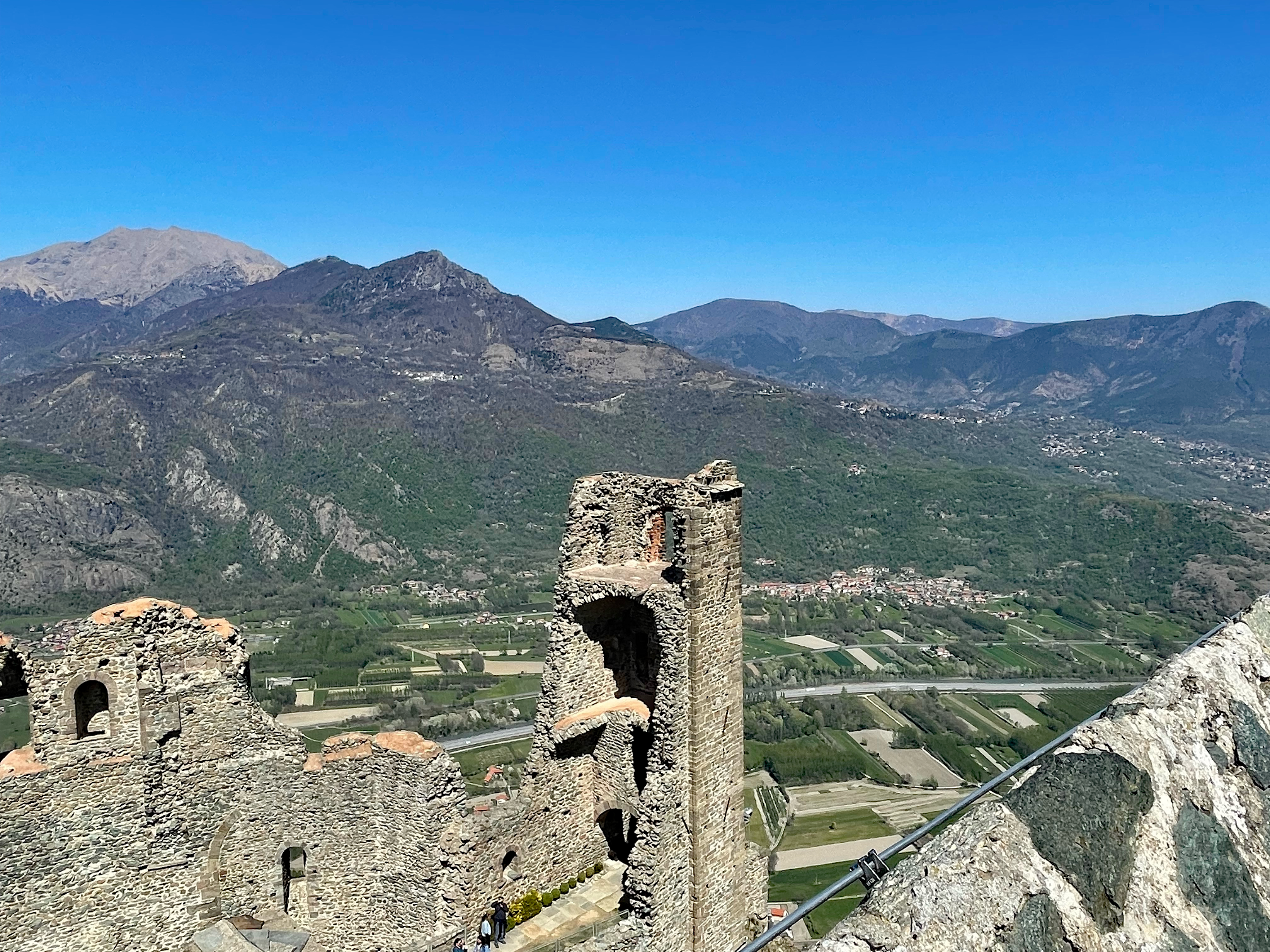
The ruins and Cottian Alps from behind the church – Sacra di San Michele
More ruins and alpine foothills from behind the church – Sacra di San Michele
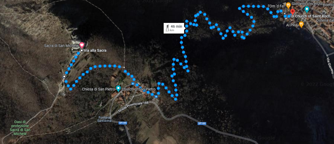
Leaving we took our last look up at the great church and descended along the more difficult trail, due to its increase in steepness, it promised to cut some time off our descent, which it did.
Going down is a bit more treacherous and only 2.5 km, but still takes about 1 and a half hours to hike – Trail Map
However, the first part of this trail is VERY steep and not for anyone ill-prepared or wearing the wrong hiking apparel, so caution! We were actually having second thoughts until we realized it was more difficult to go back up, then to press on and continue downward.
A view of the church descending – Sacra di San Michele
We arrived back in Sant’ Ambrogio almost five hours later, hungry and fairly tired from our experience. Once on the train, we relaxed and started to compare which part of our legs hurt more. However, we were both happy we were able to meet our sacred vertical pilgrimage with a great sense of accomplishment. It was our first big hike of the season, hopefully not our last and if anyone is thinking of doing this or a similar hike, keep the following in mind, we will next time.
Prepare for your hike, research the route and understand how technical it is
Bring a water bottle, the trail has two or three places to refill, this is especially important
Bring lunch or something to eat, there is nothing above except some vending by the ticket counter, but do not count on that
Wear the correct clothing (light and layered) and shoes, hiking shoes would be preferred but thick soled tennis shoes or sneakers will do
Pace yourself, unless you are young be mindful of your body and do not over-exert, you do not want to get into medical trouble on that trail, it will take some time for them to get to you
Go in good weather, unless it’s your intent as an experienced hikers not to
And last but not least.., enjoy yourself, there are amazing things to see and hear on the trail, the flowers and birds are in abundance.
Also called, Lunedì dell’ Angelo, which is meant to remember the women of the sepulcher, including Mary Magdalene, who were comforted by an angel when they returned to Jesus’ tomb and found it empty.
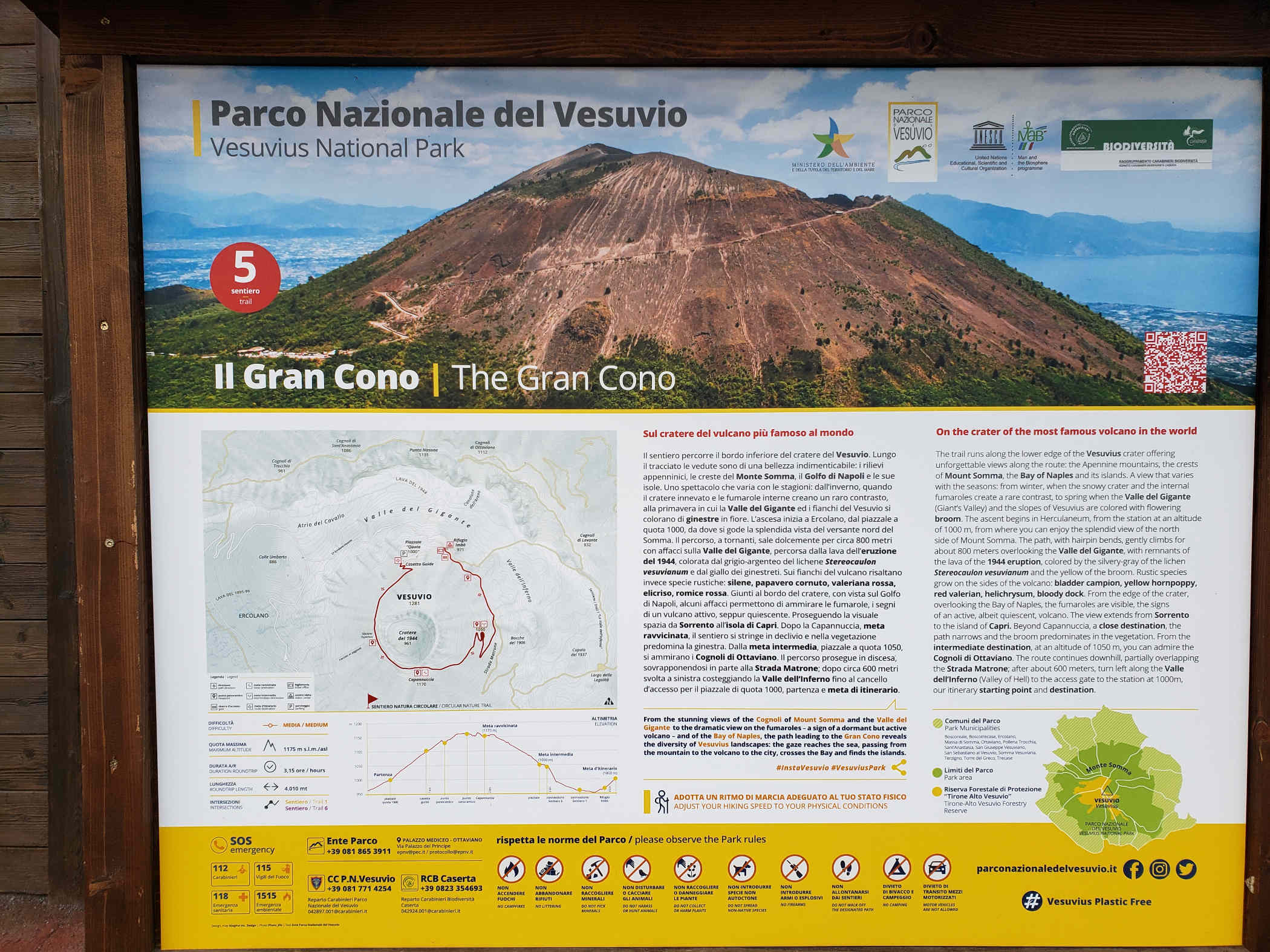
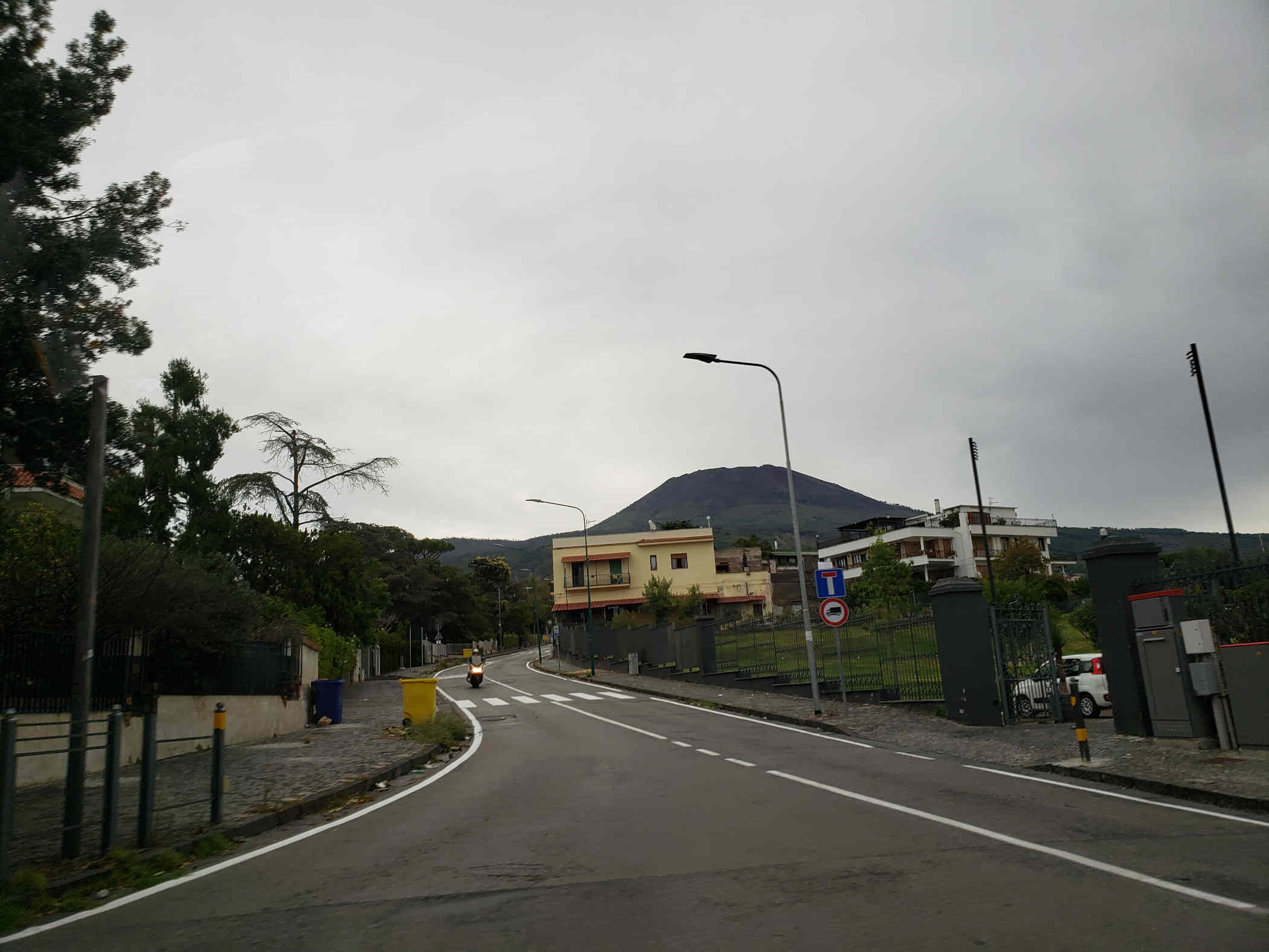
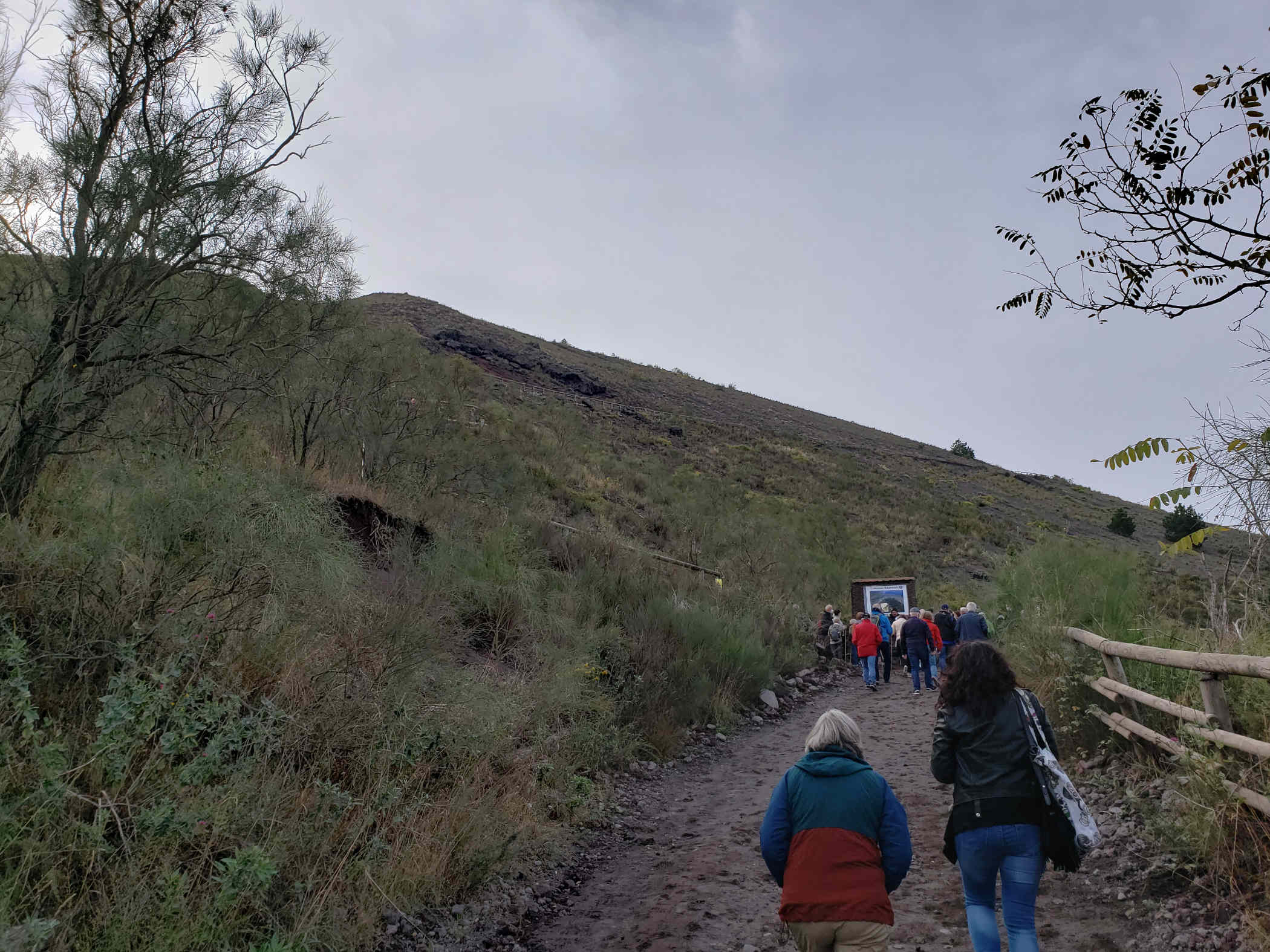
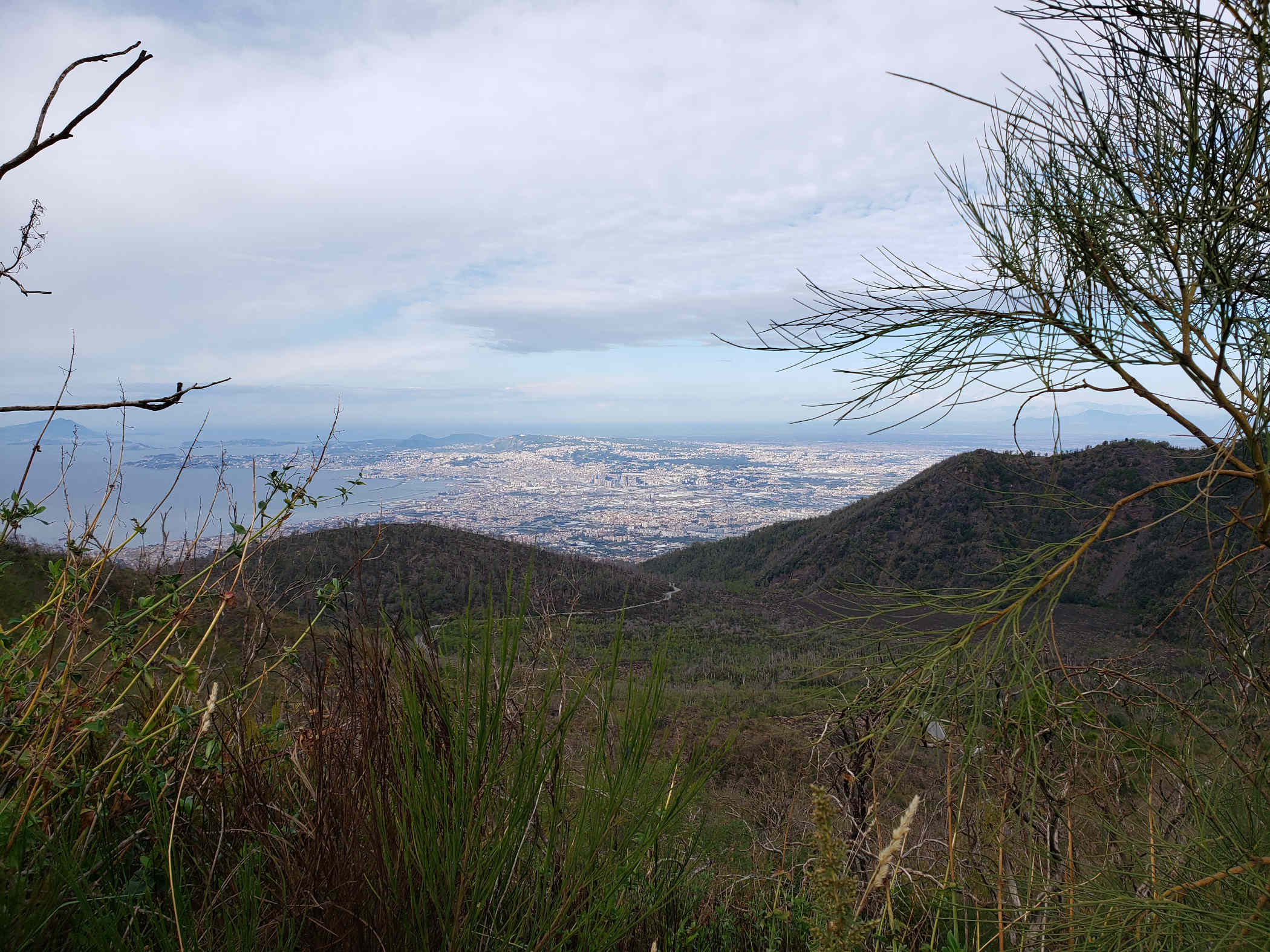
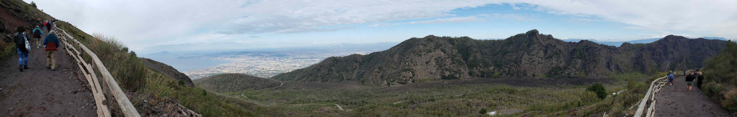
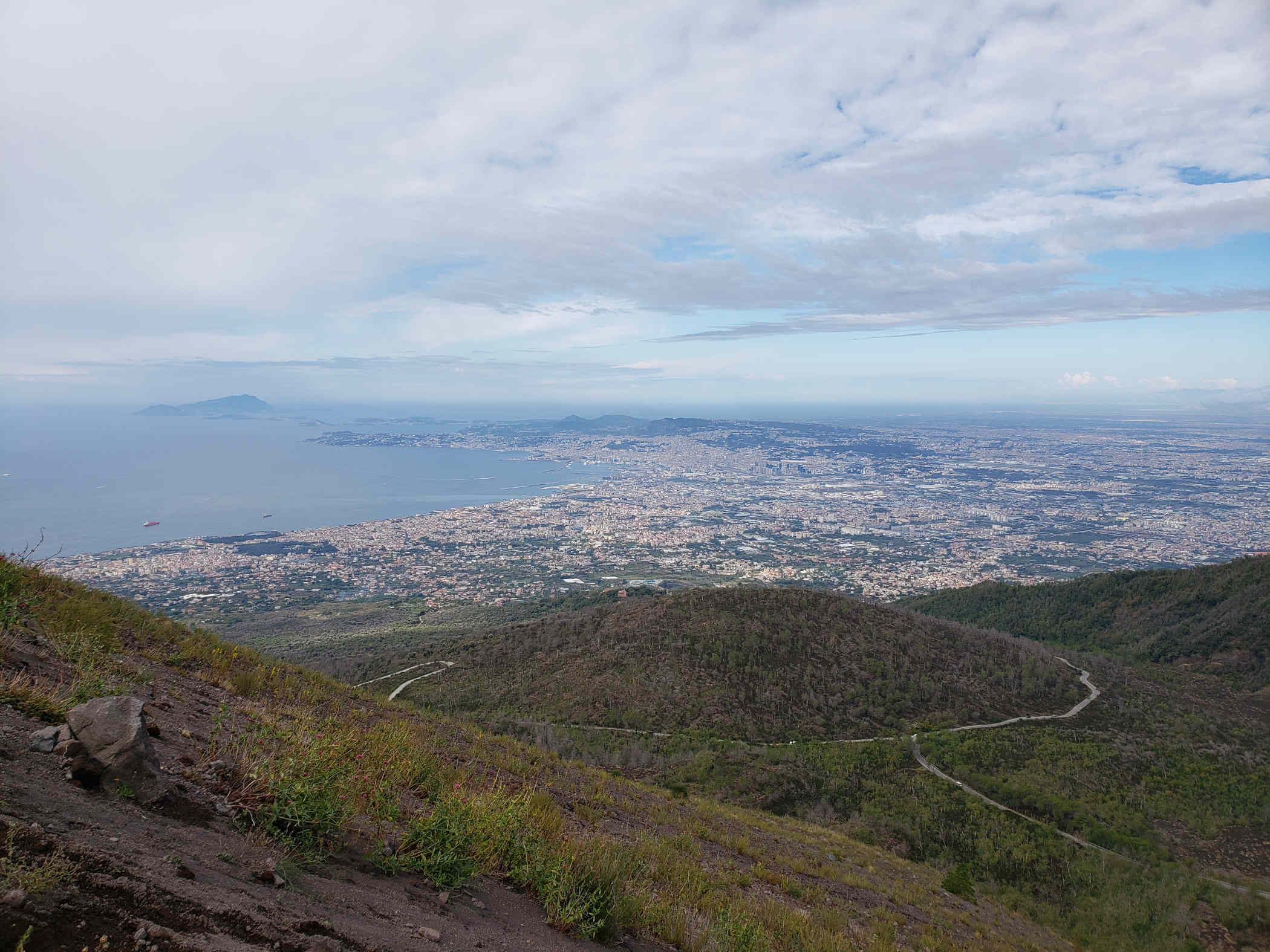
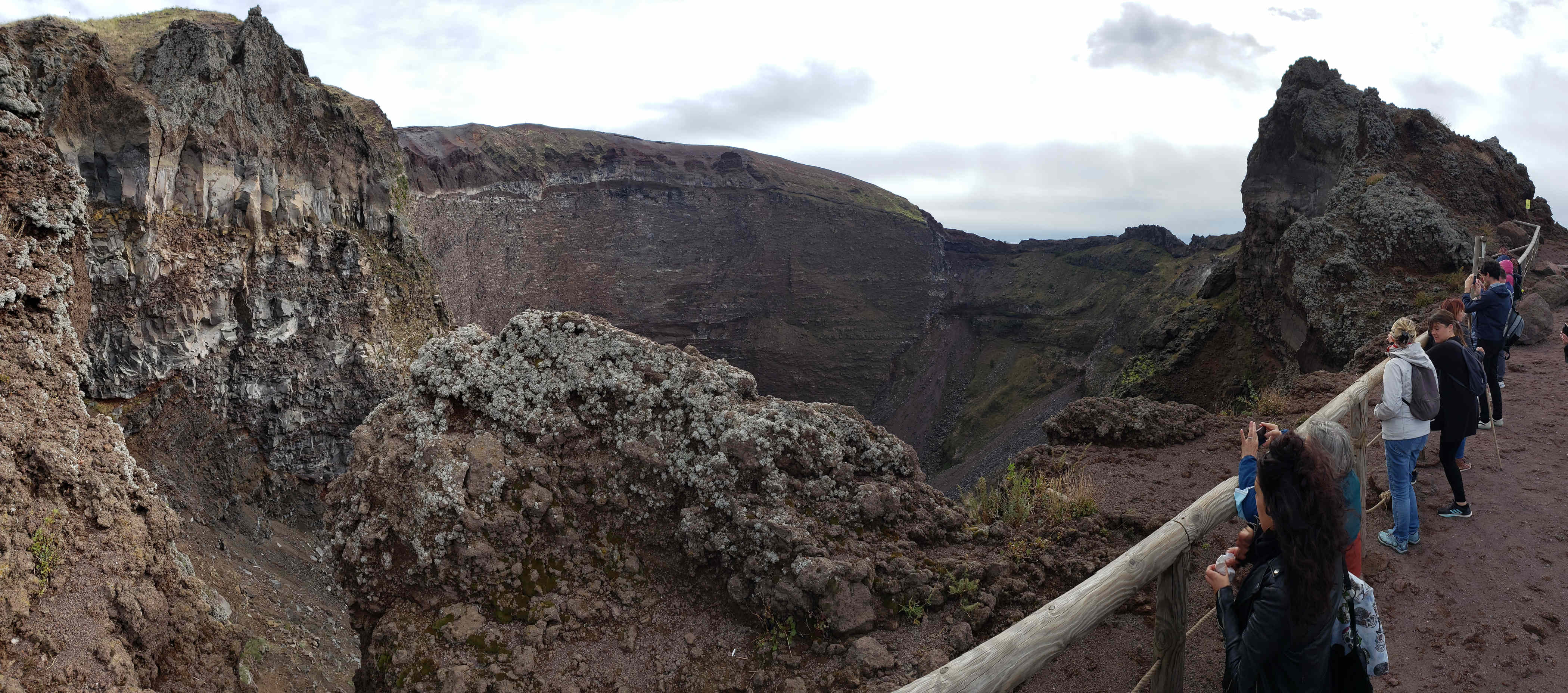
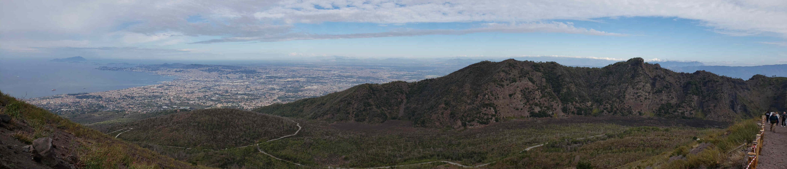
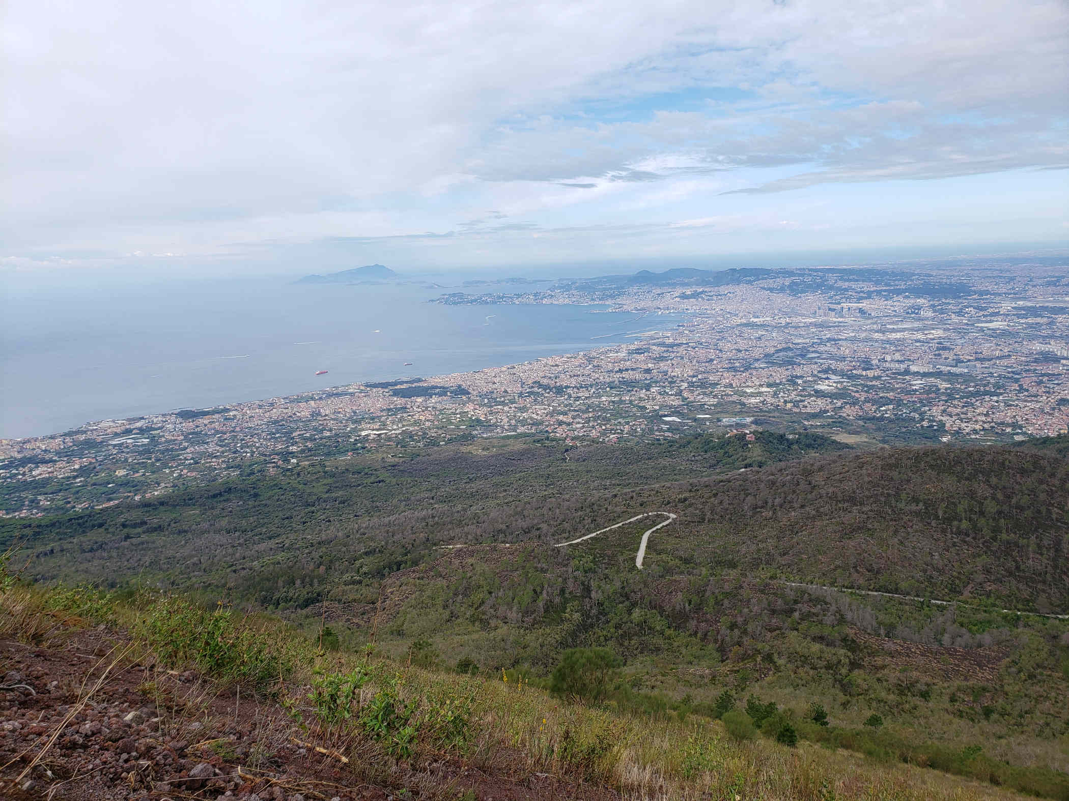
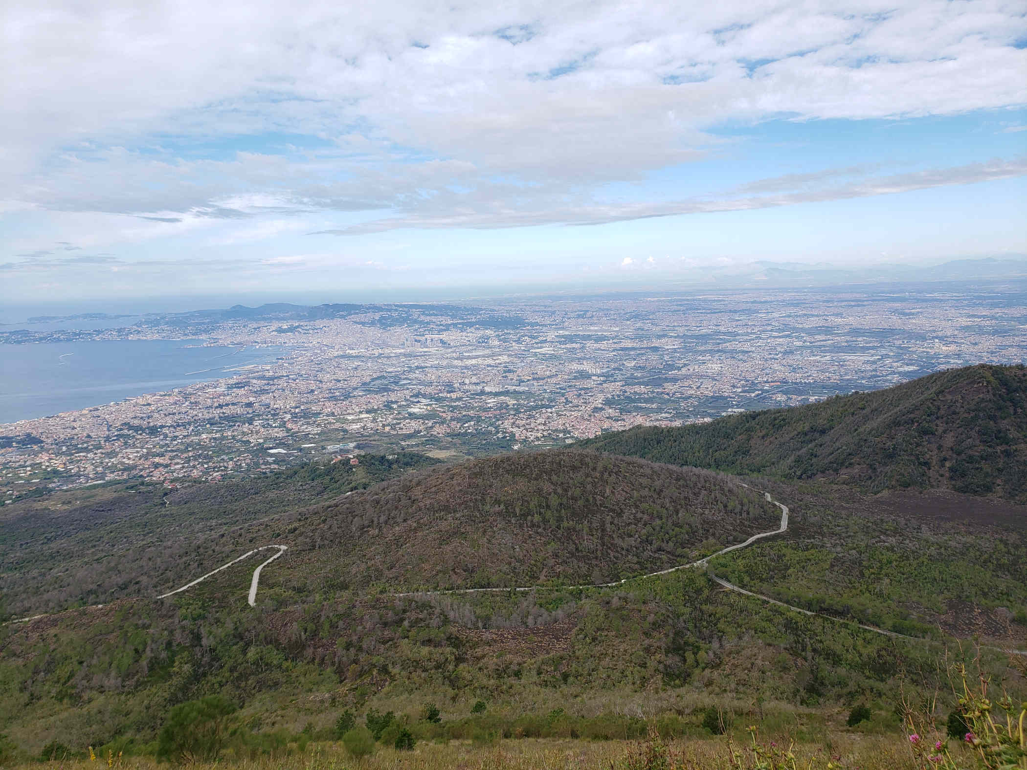
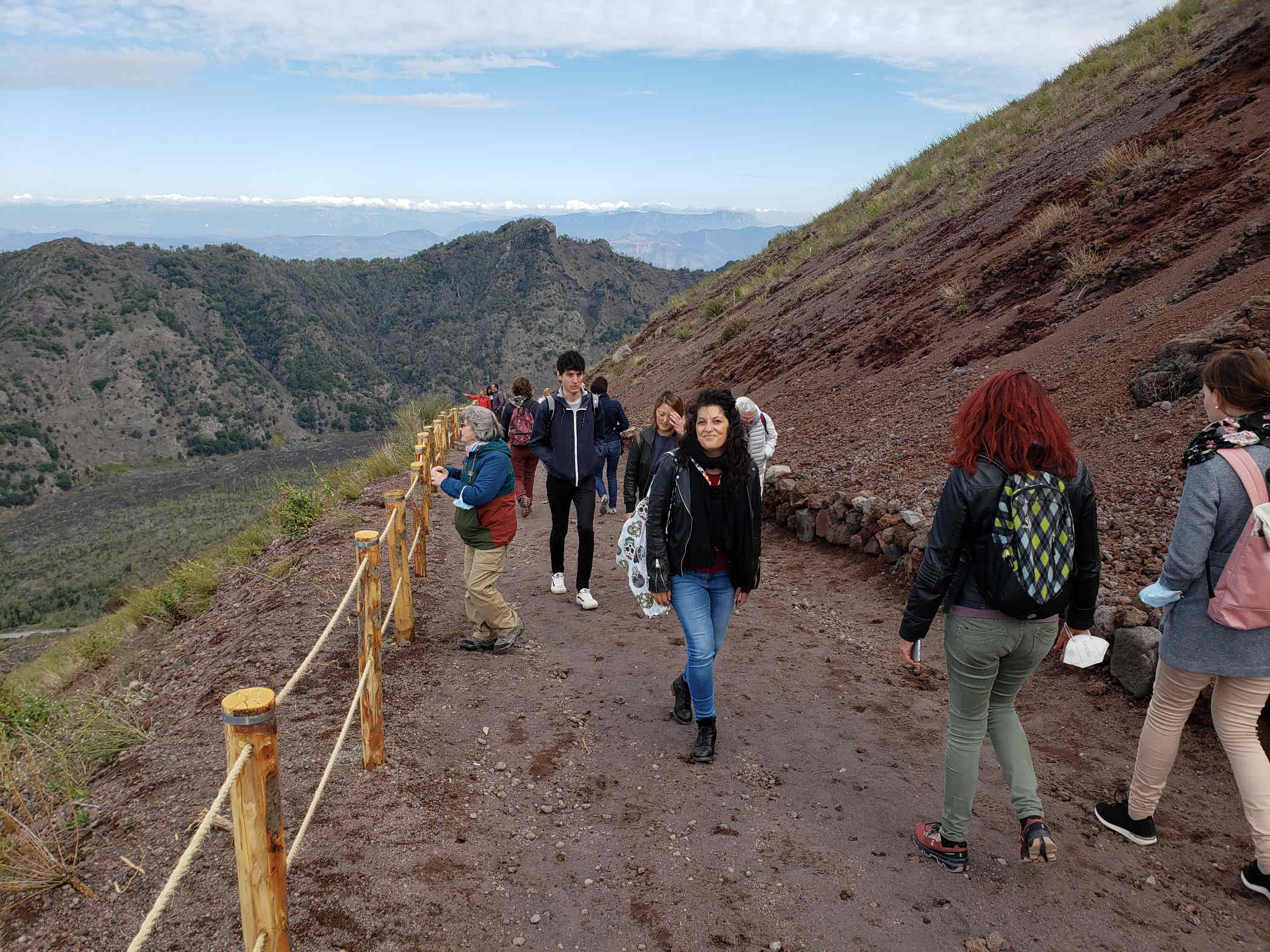
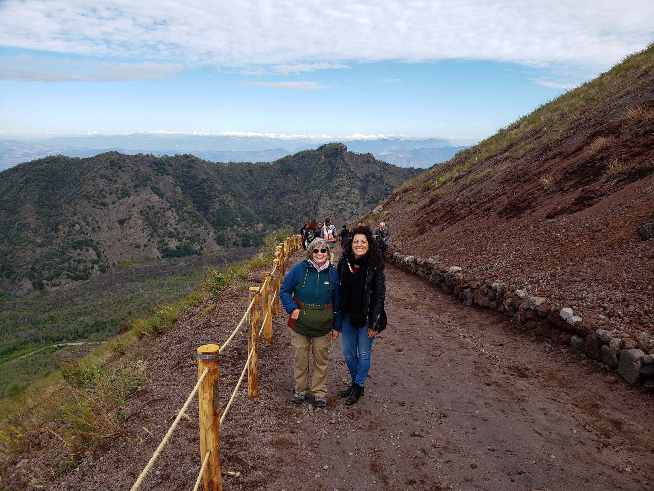
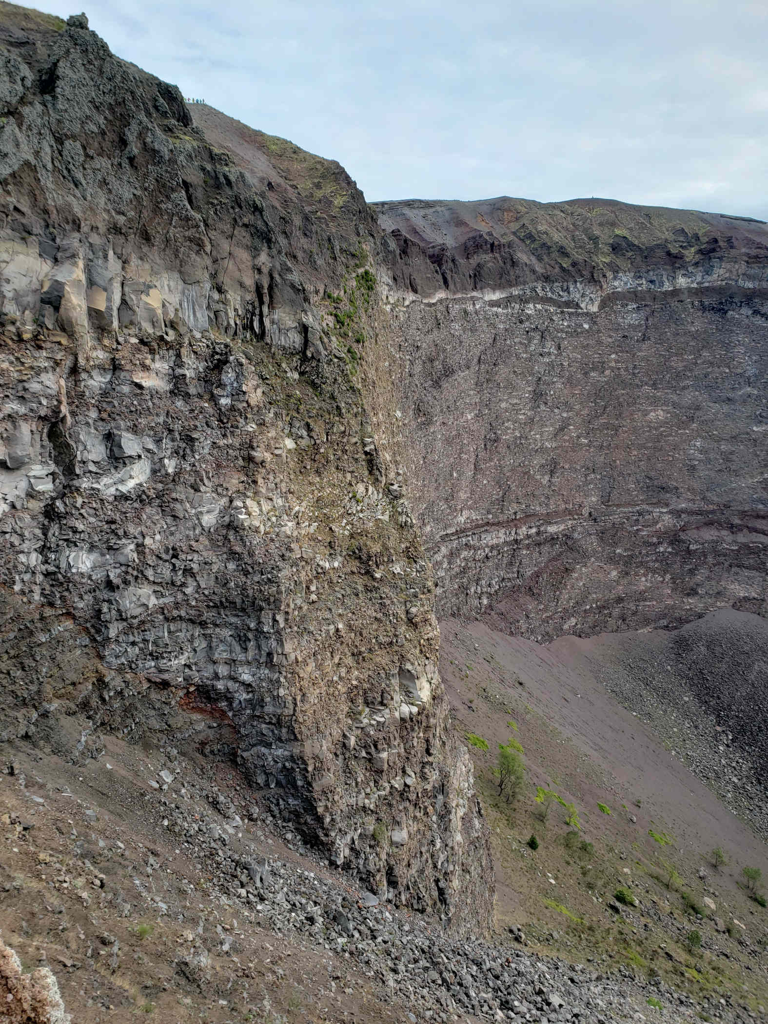
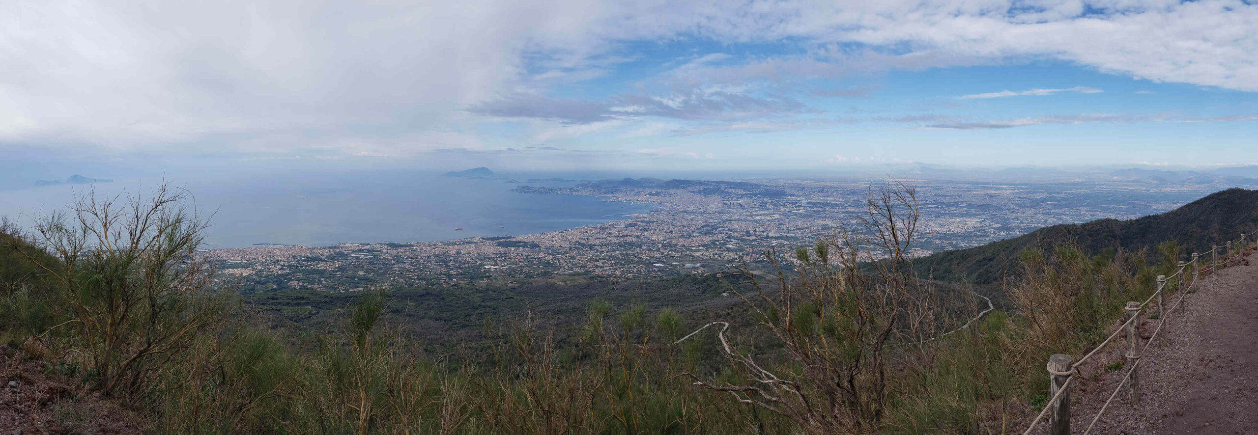
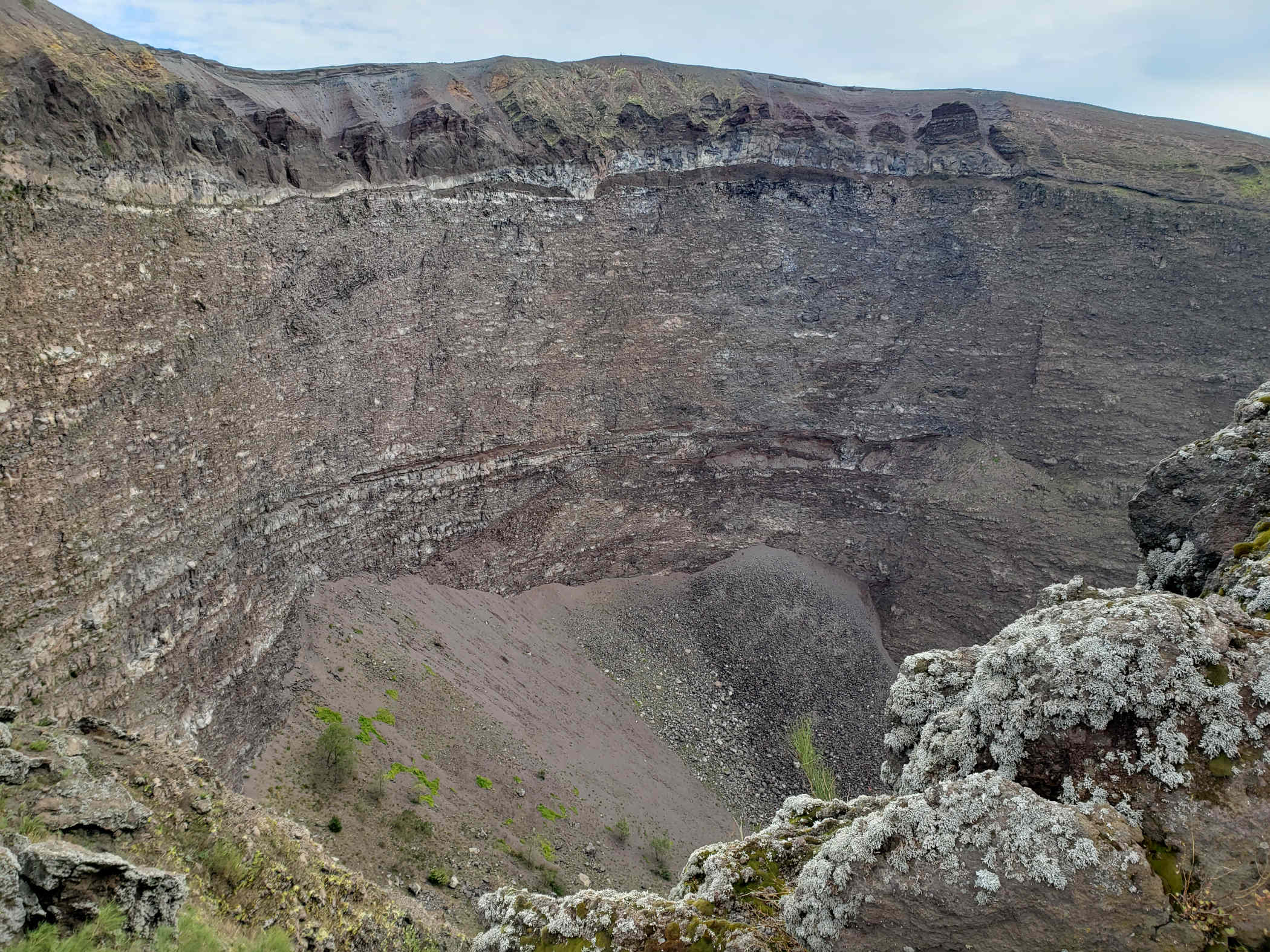
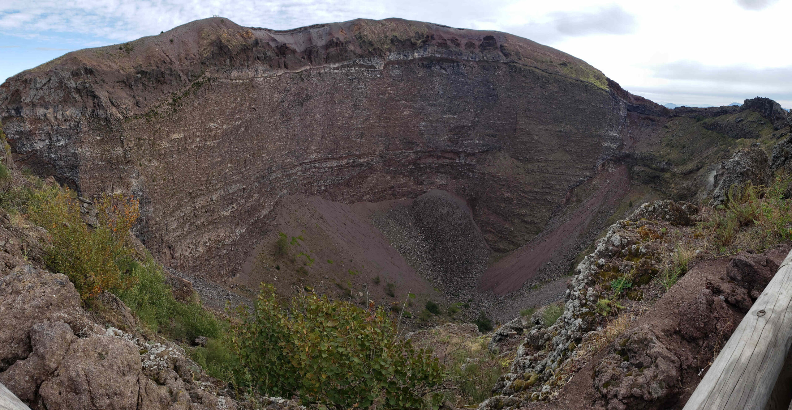
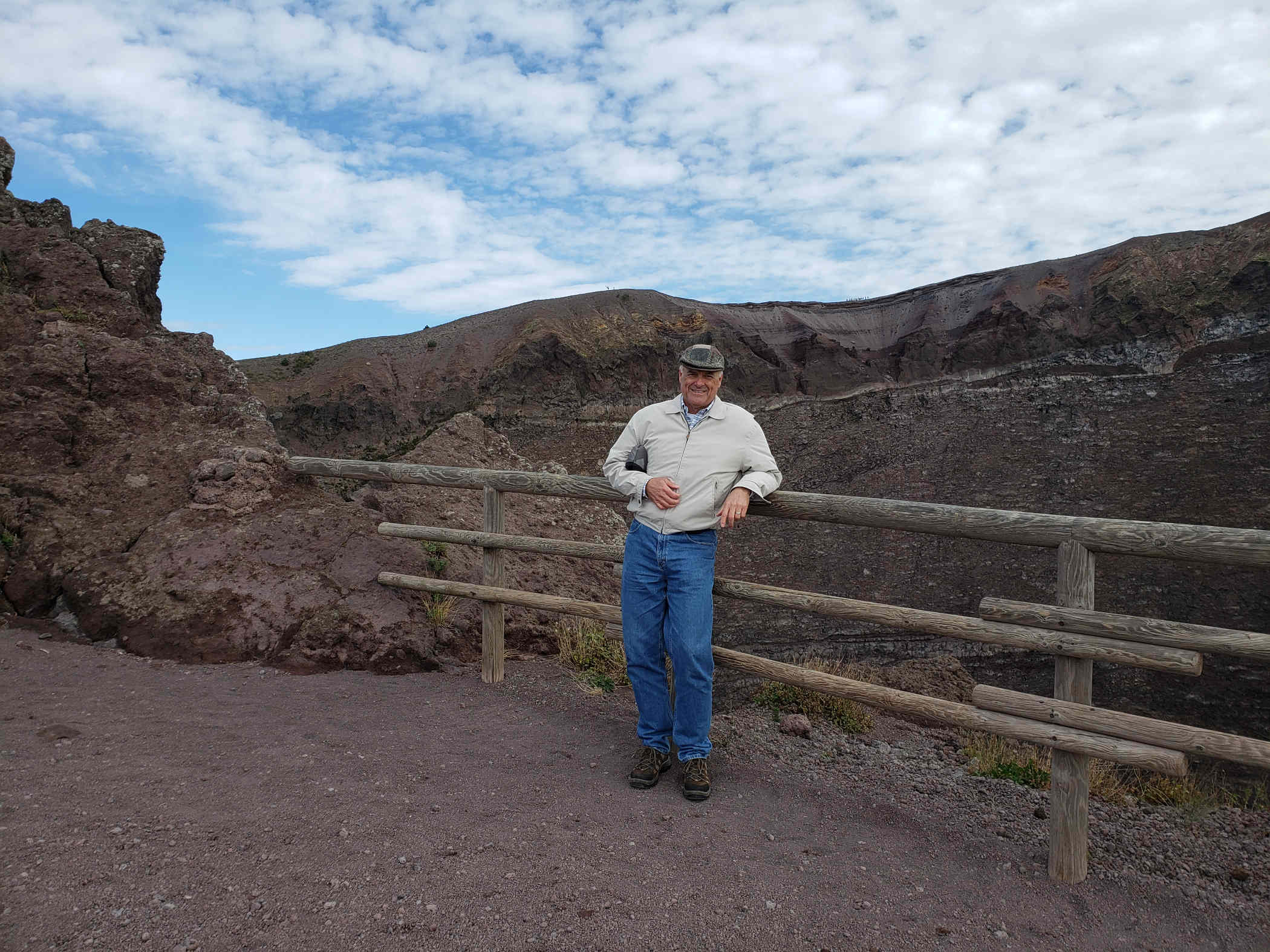
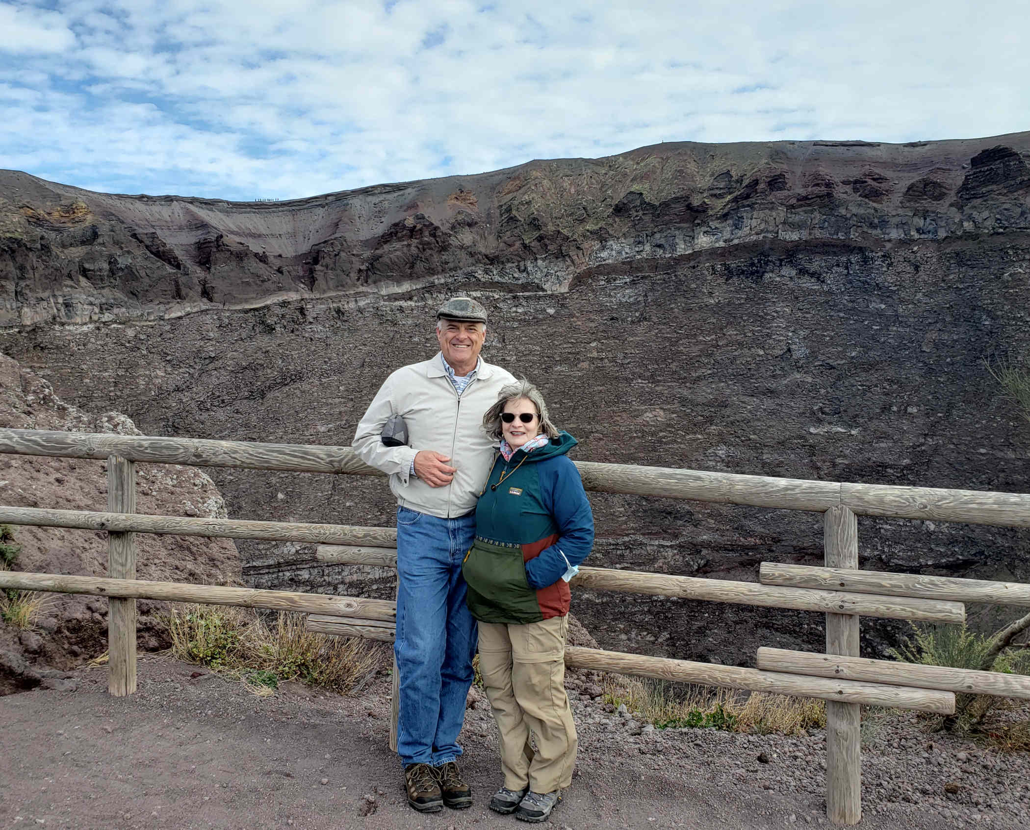
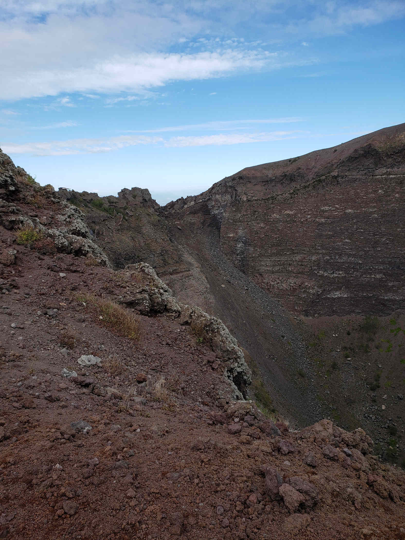
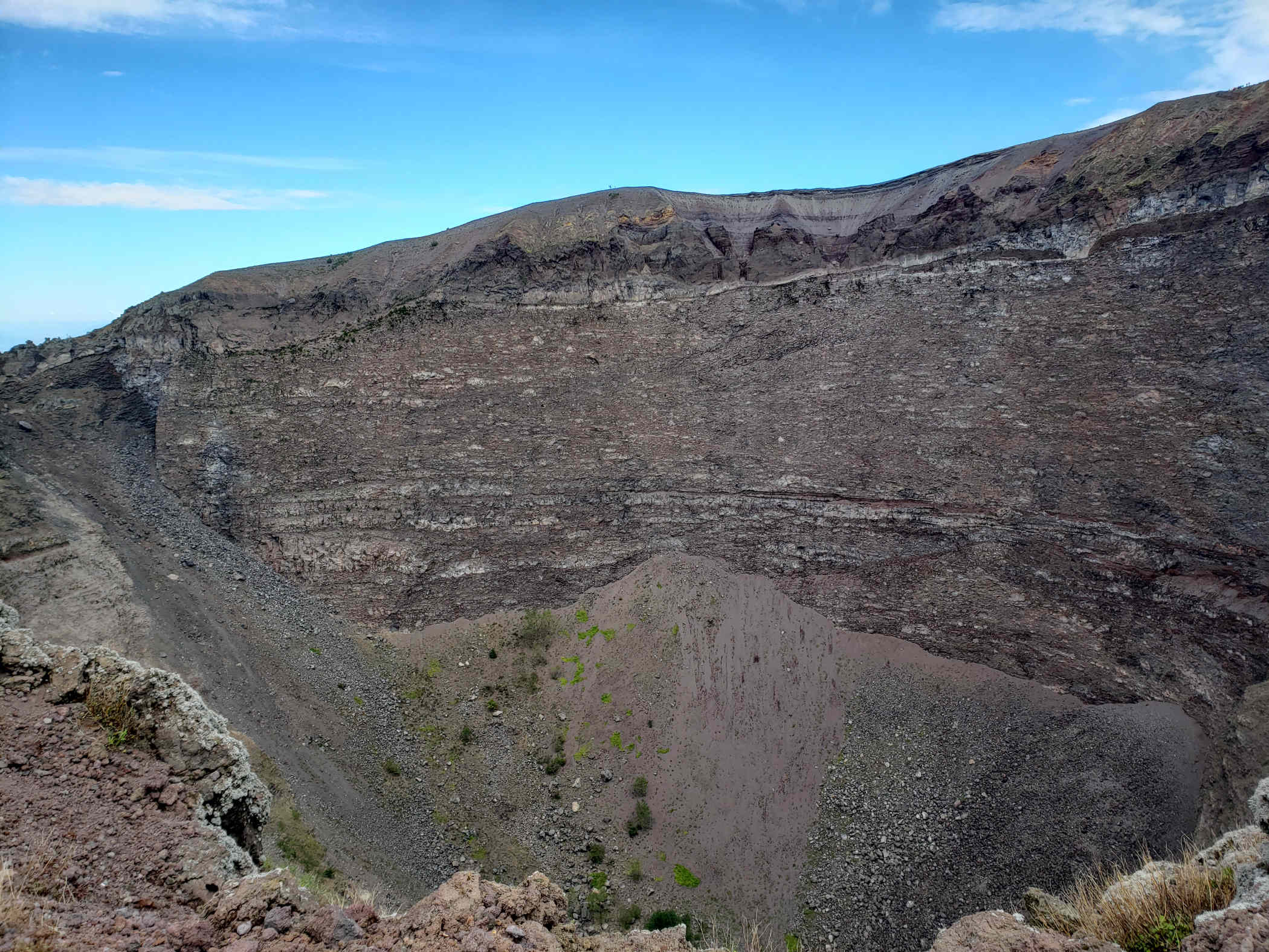
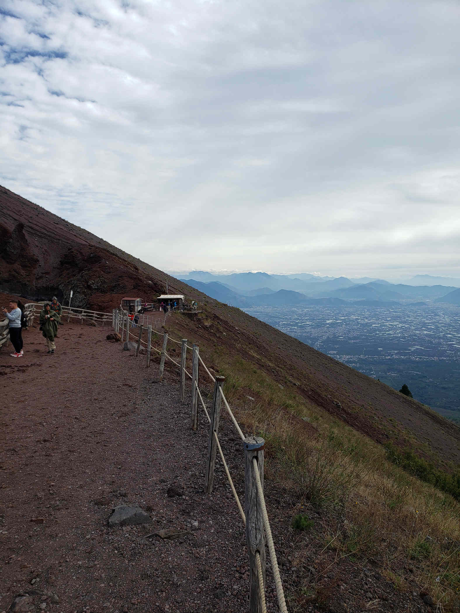
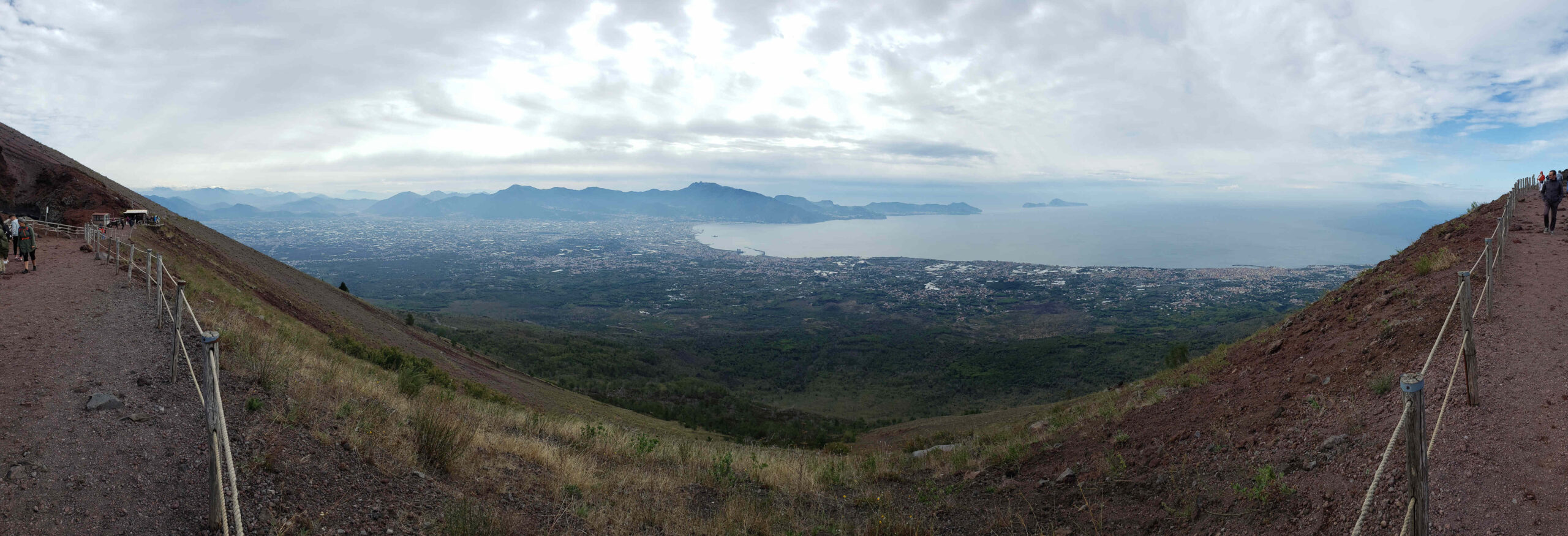
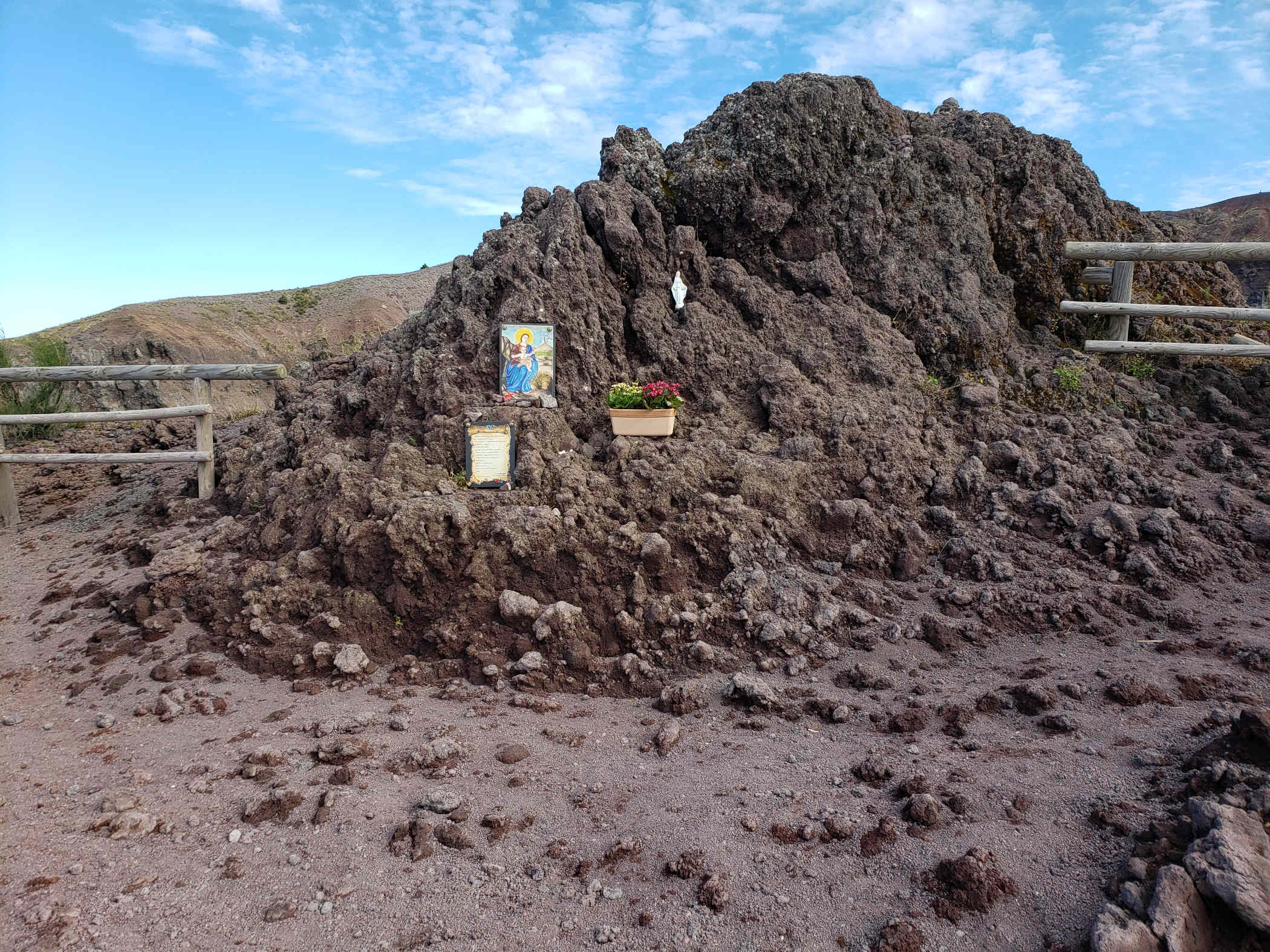
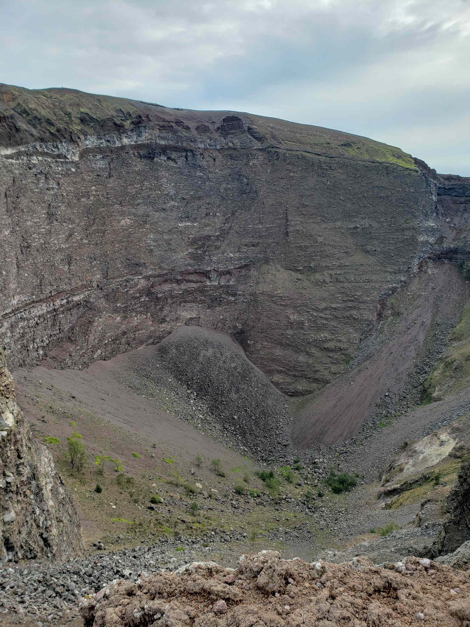
It is possible to hike to the summit of Mount Vesuvius. For a modest fee you can put on your best walking of hiking shoes and climb to the summit from within a few hundred meters in elevation. On a clear day, it is totally worth it, not only for the views of Naples but also for that curious look at what might be going on inside the crater. Our guide Federica, from MindTheNap Tours, along with Pasquale our driver took us there for the day. She has excellent knowledge of the volcano, its history and all its eruptions, as well as other off beat information regarding the consecration of the volcano by the church.
The Climb
The ascent is not very rigorous, there are plenty of old people walking up and they do hand out walking sticks, if you are so inclined. Now, on to the slide show for which I have not captioned anything, since most should be self explanatory.
Patti and Federica walking behind me
Patti and Federica
Erick
Erick and Patti on top of Vesuvius
A few short videos while we were on the way up and at the summit. The audio is probably terrible, it was very windy and cold that day.
The trip up, around the crater wall and back down took us a little over an hour. But it can be completed faster, we just happened to take our time. The drive there on the other hand depends on traffic, which as you can imagine can be problematic in Naples.
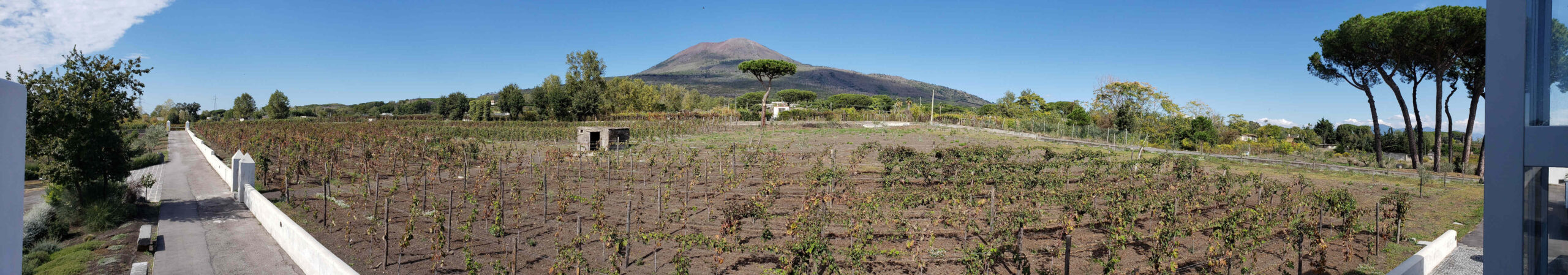
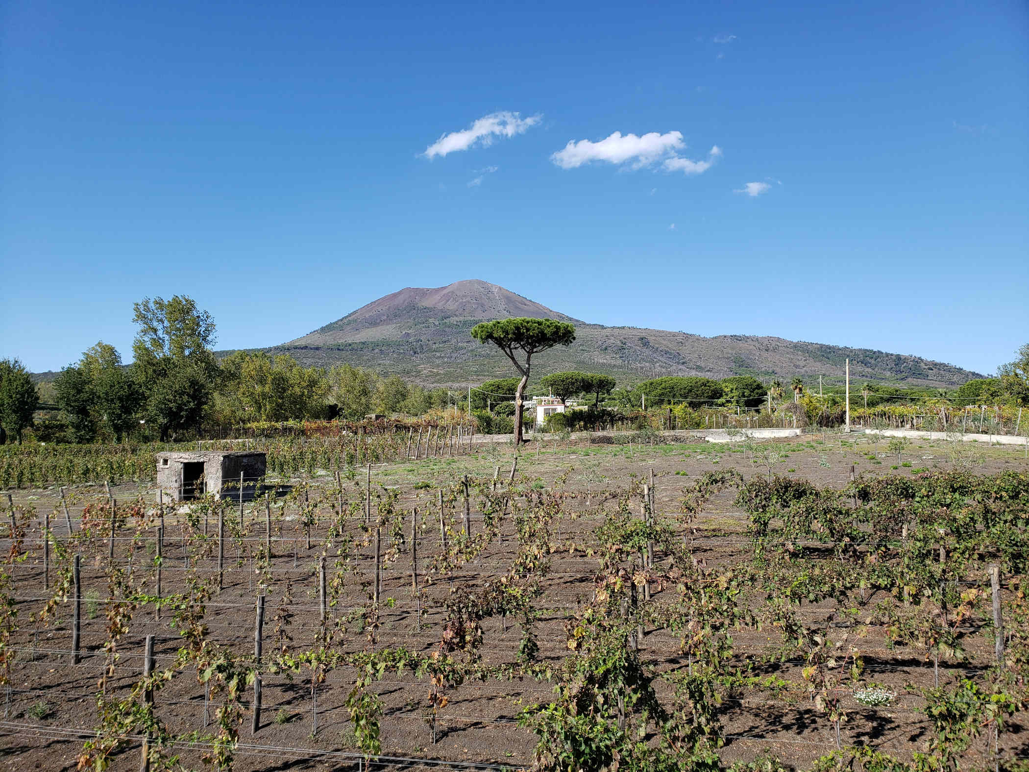
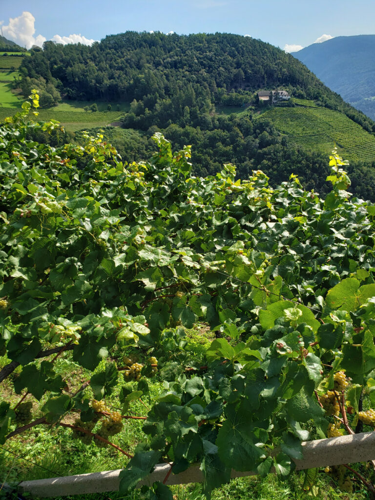
Wineries
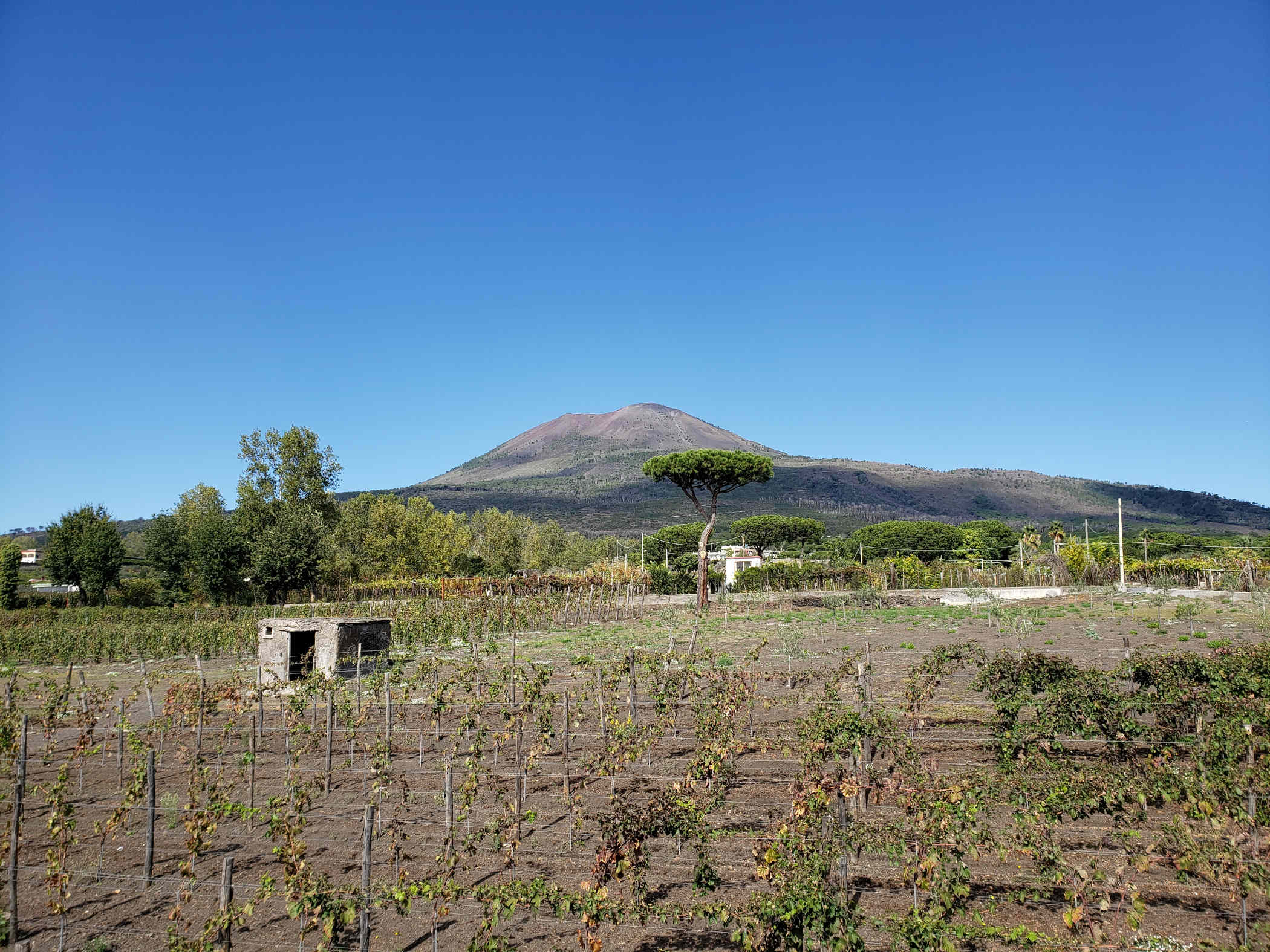
At the foot of Mount Vesuvius are many wineries, which grew certain types of varietals, aglianico, caprettone and piedrosso, that work well with the volcanic soils.
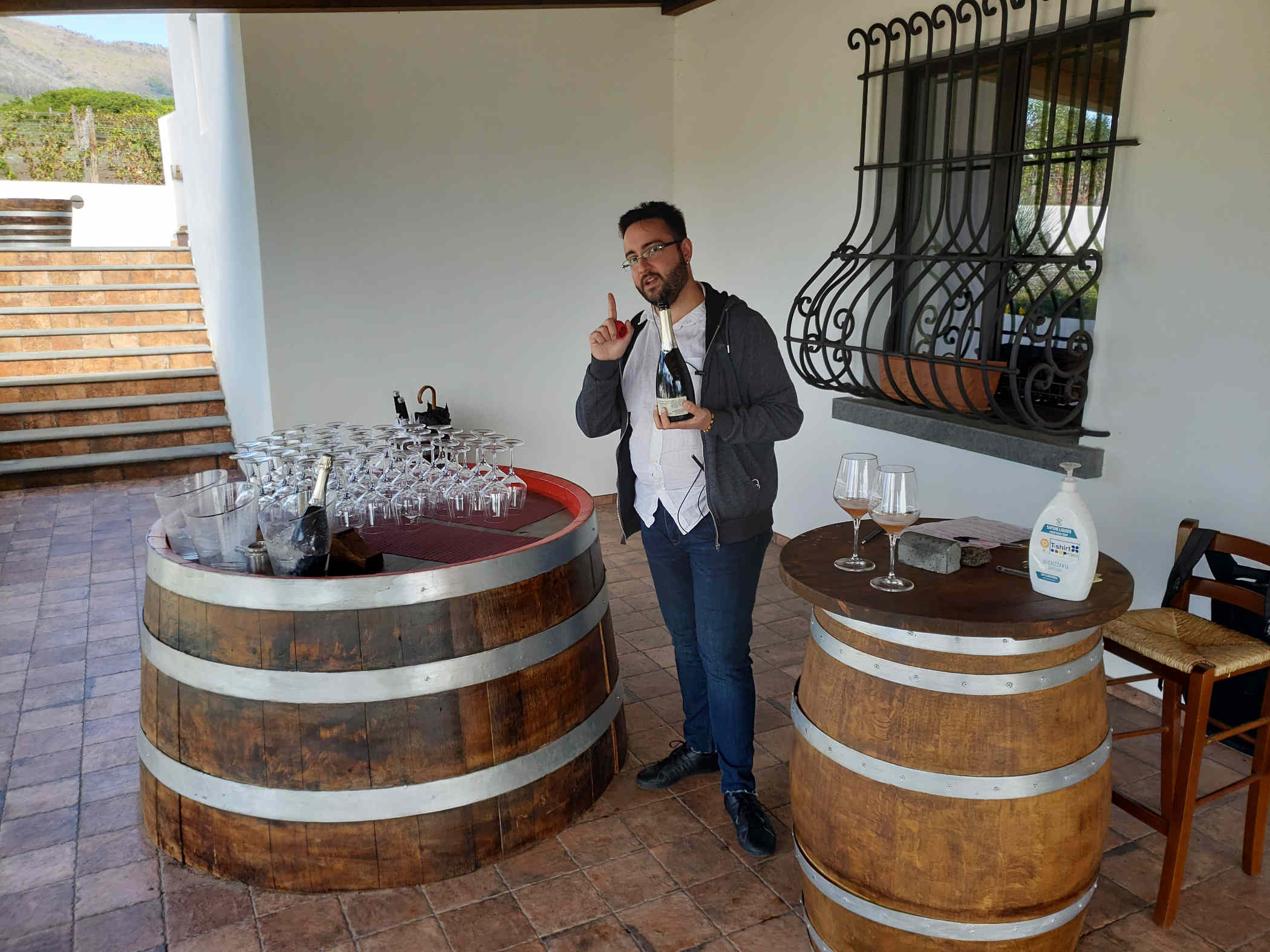
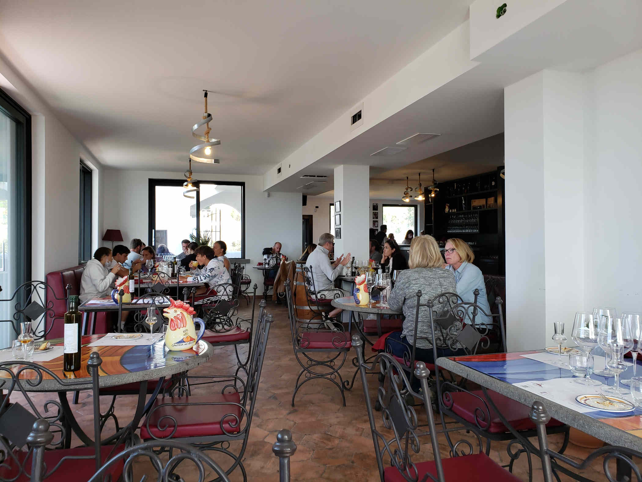
Cantina Del Mount Vesuvio Winery Russo Family
After our ascent up the mountain we spent a few hours in the afternoon having a tour, wine tasting and lunch at the Cantina Del Mount Vesuvio Winery of the Russo Family. We tasted the following before and during our lunch.
– Rosè Sparkling Wine (100% aglianico grapes)
– Lacryma Christi del Vesuvio Bianco DOP (100% caprettone grapes)
– Lacryma Christi Rosato DOP (100% piedirosso grapes)
– Lacryma Christi del Vesuvio Rosso DOP (100% piedirosso grapes)
– Lacryma Christi Riserva (80% piedirosso e 20% aglianico grapes)
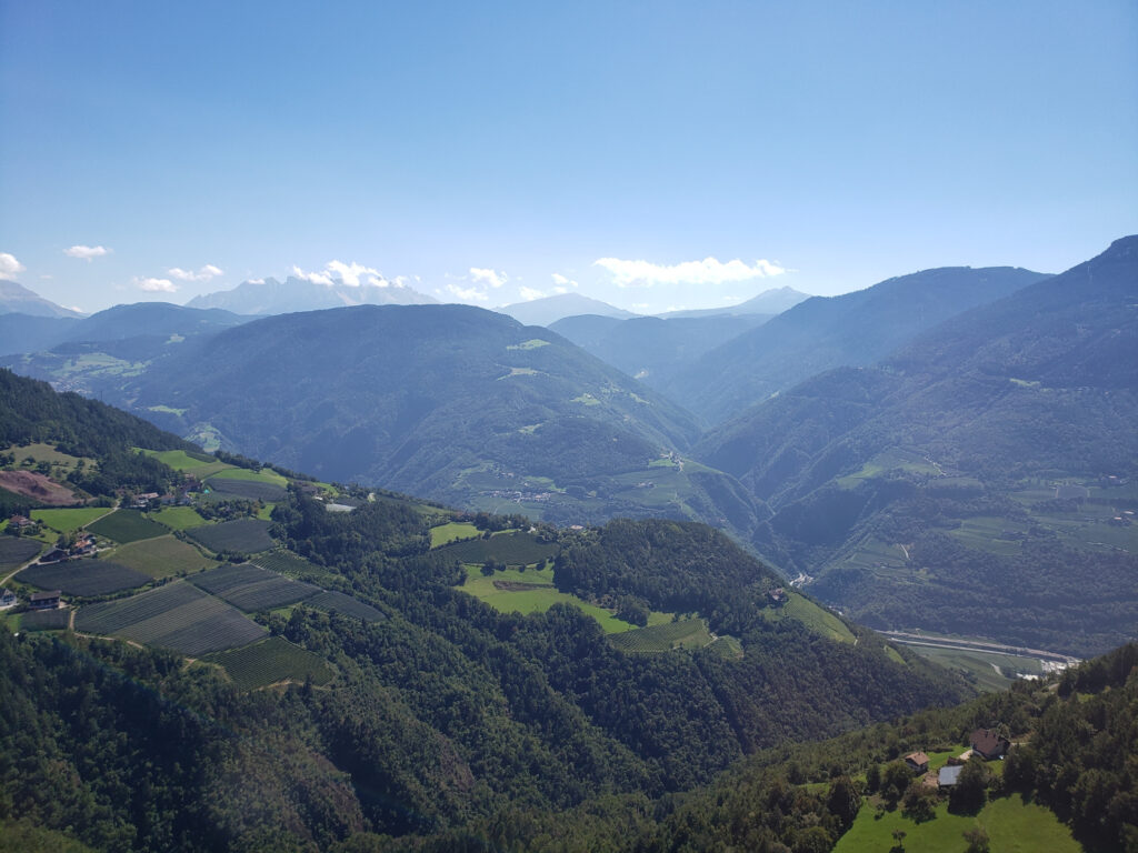
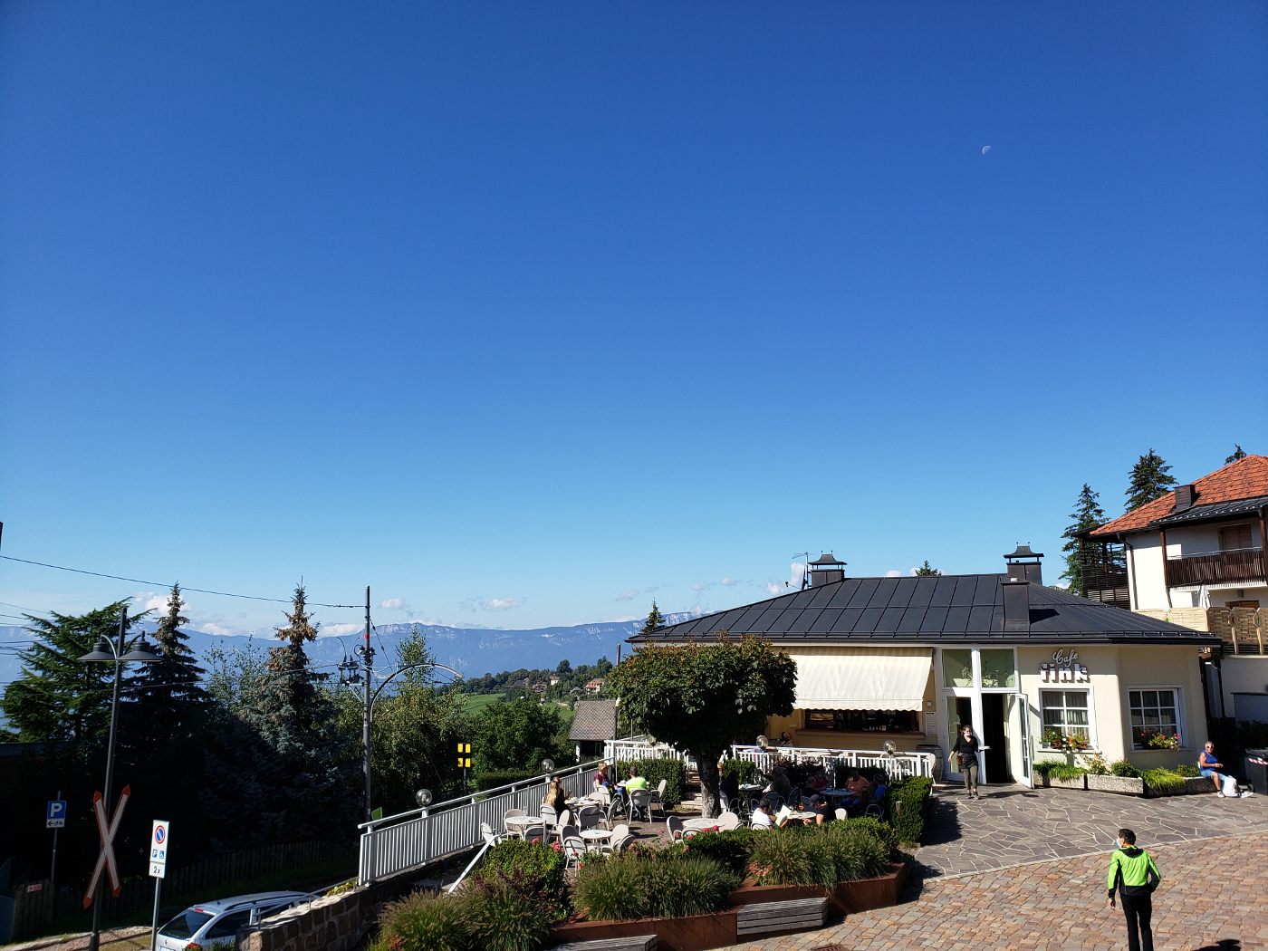
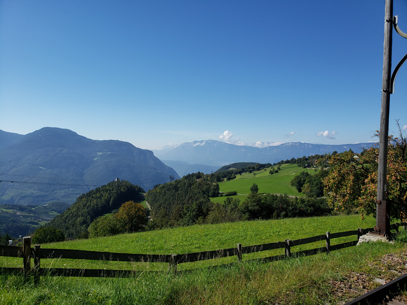
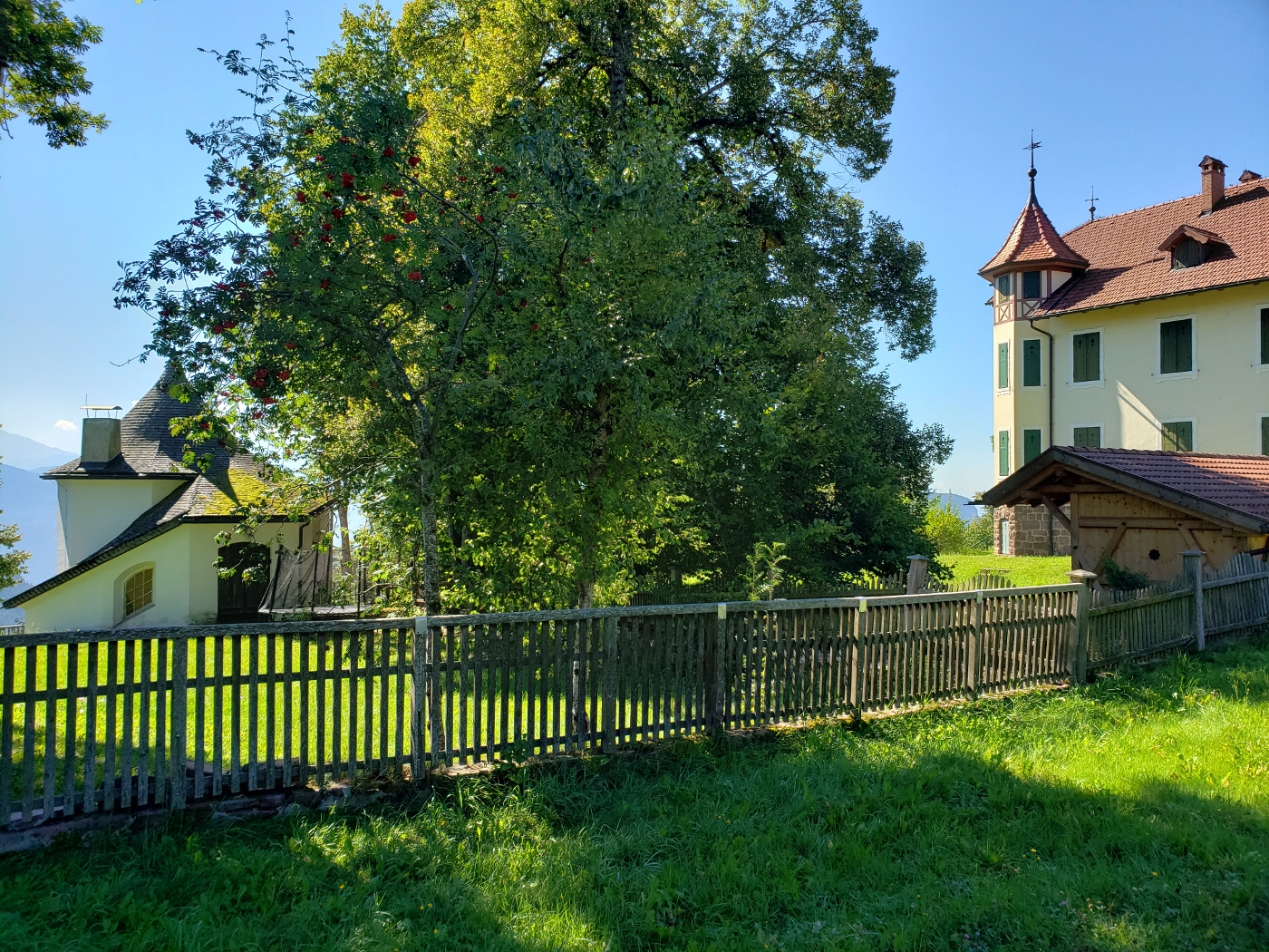
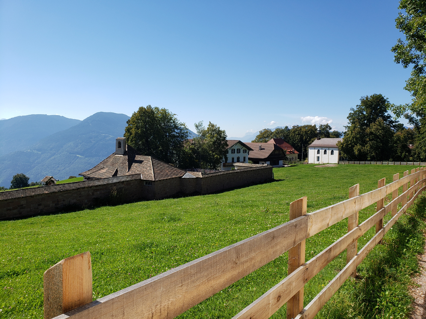
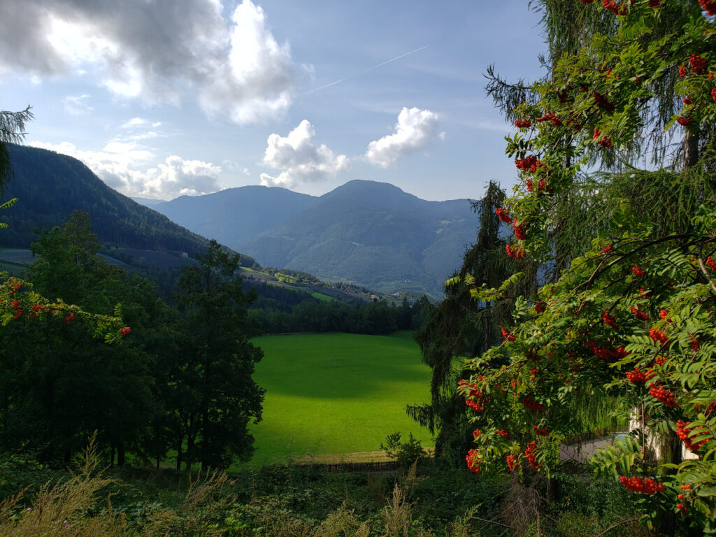
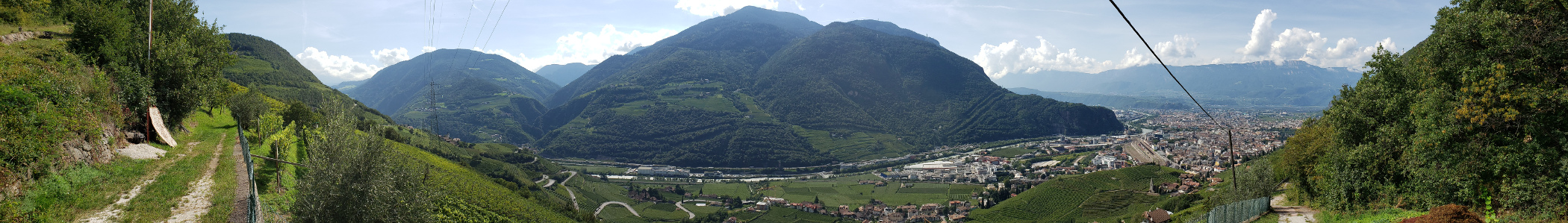
The plateau of Ritten is one of the great places to hike and enjoy the Alto Adige. Fresh air, sun and absolutely gorgeous fields and woods brought me right back to my own childhood. Their are tons of insects and birds here and I never got tired of hearing the constant whizzing, whining and chirping. Stress relief for one’s soul and probably one of the big reasons why so many come here to relax and enjoy life. I know we did.
Hiking Oberbozen And Ritten
Ritten is a fabulous place for hiking, with a myriad of trails for all levels, one can hike for days across this area and almost always find a place to stay, eat or hike, with proper planning of course.
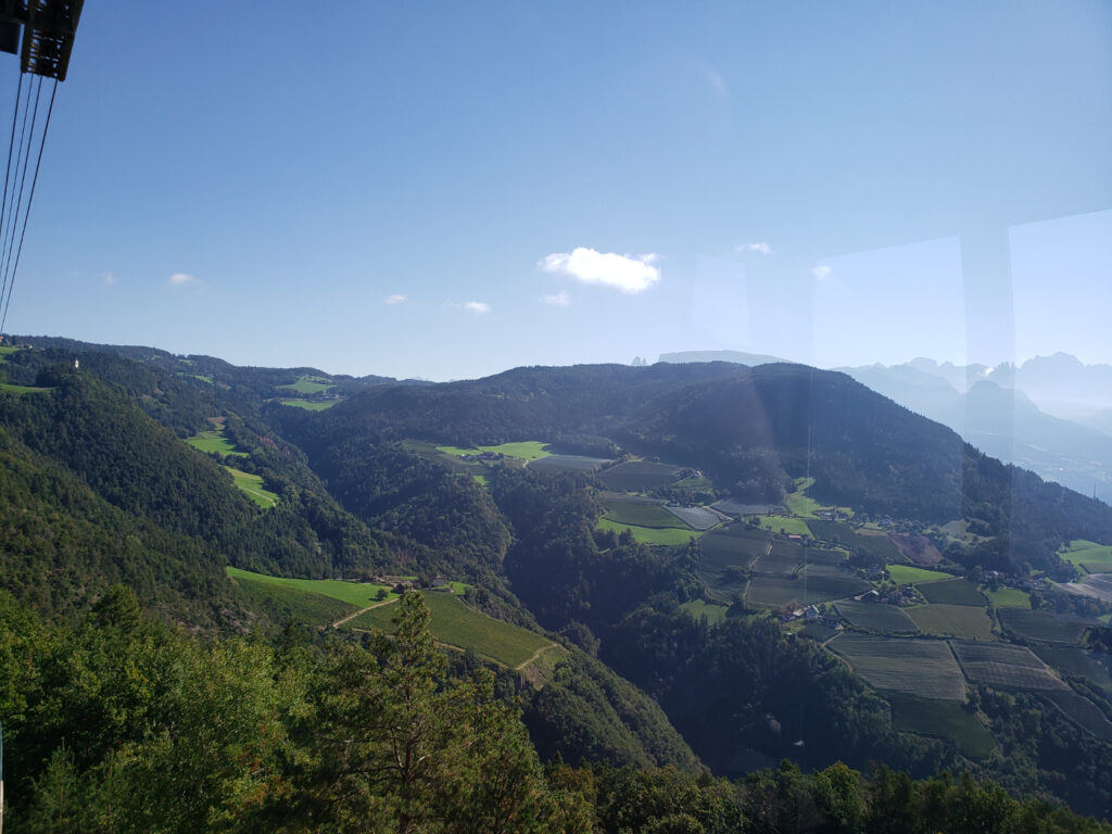
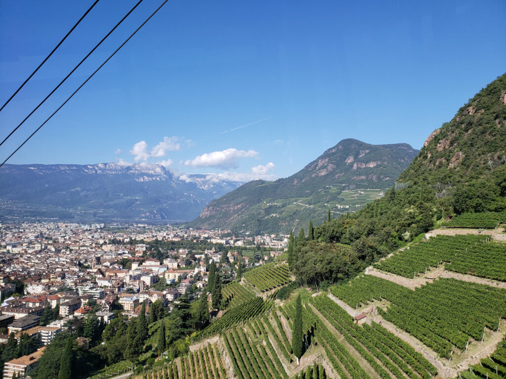
View from Ritten Plateau – Oberbozen
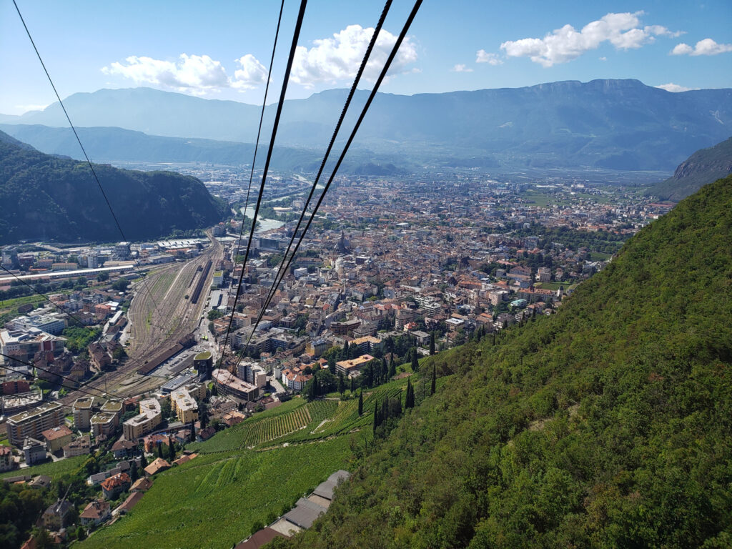
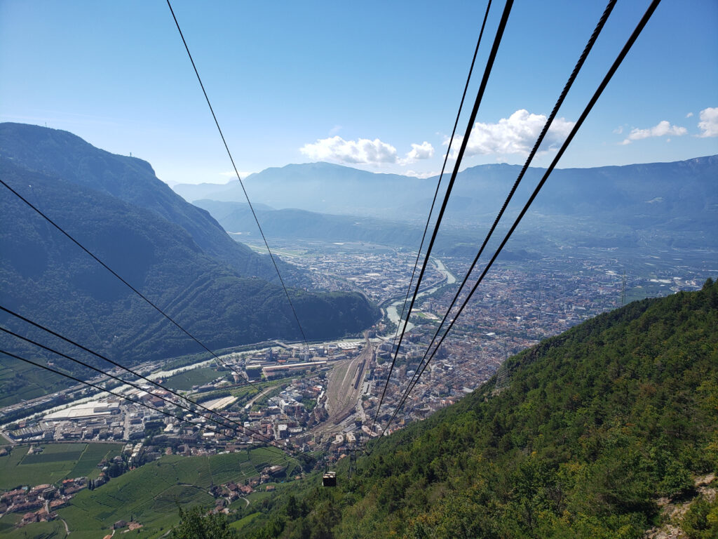
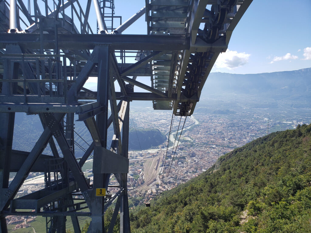
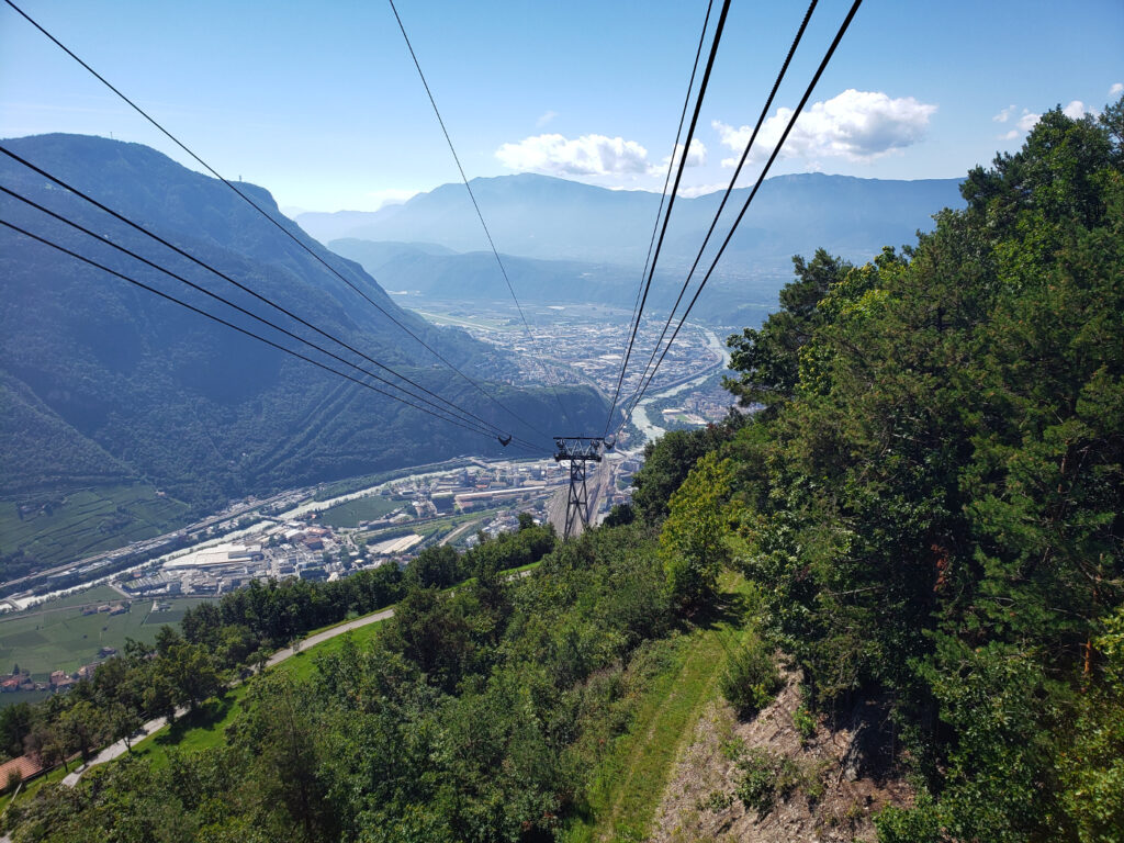
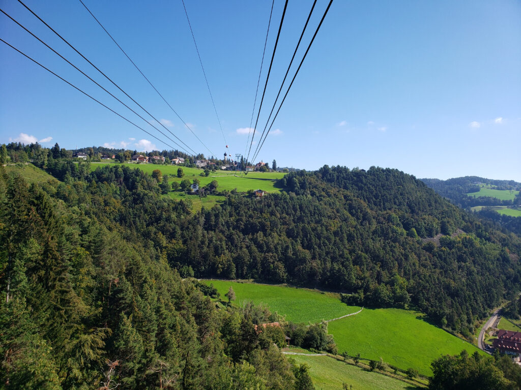
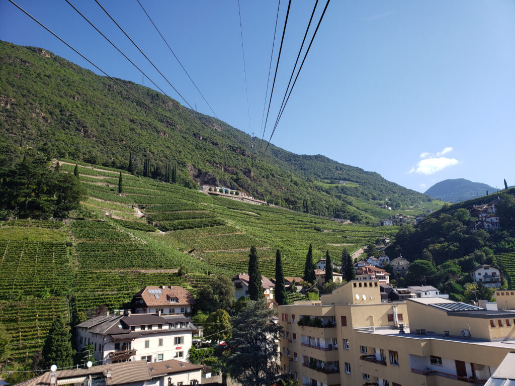
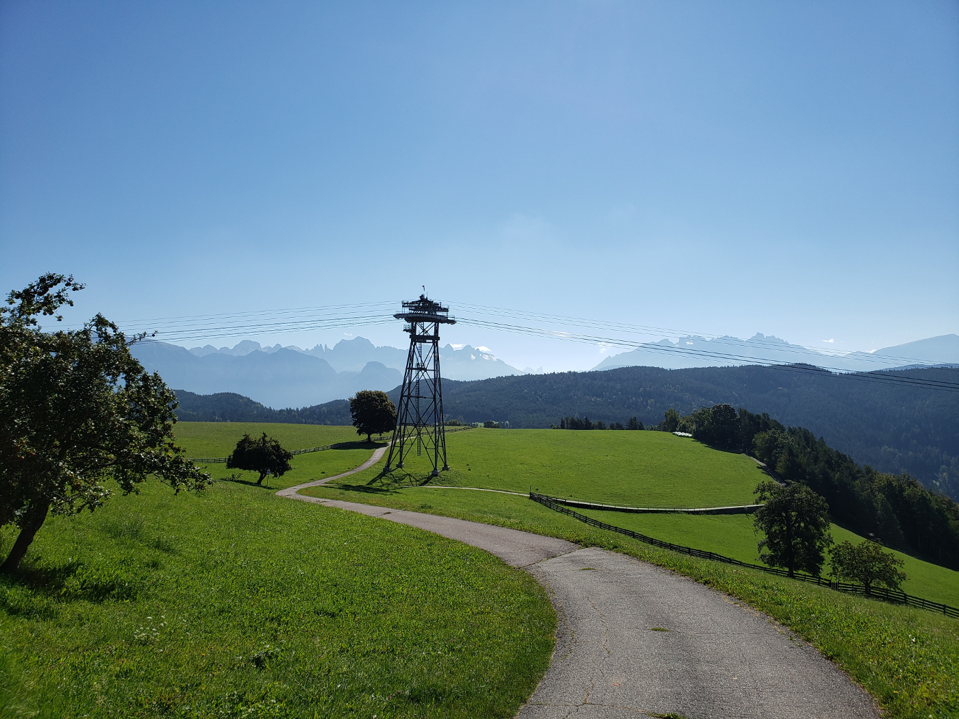
Ritten Cable Car
The way up is easy, with your multi-day Alto Adige pass you can take the cable car!
A good twenty to thirty minute ride with spectacular views, the cable car can be boarded just north of the train station. It climbs the nearby mountain and then across the Ritten Plateau to Oberbozen. Here, you can either start your hike, or continue to other points of interest using the plateau’s mountain train service.
There is also an Information Center just outside the cable car entrance in Oberbozen. So if you intend to hike, purchasing a map is a very good idea, the cost at the time of this writing was €3.50.
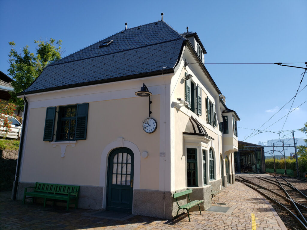
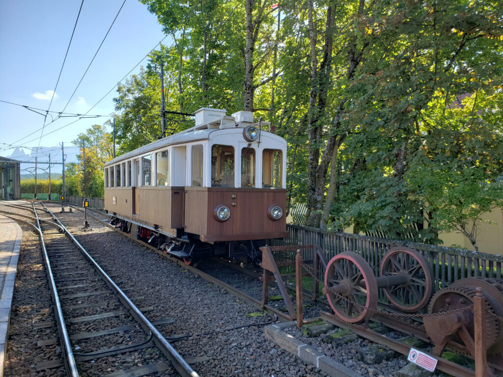
Oberbozen Train Station
Old Rack Rail or Cog Rail Train
Since we went to the Oberbozen twice we actually have a short video of descending on the cable car as well.
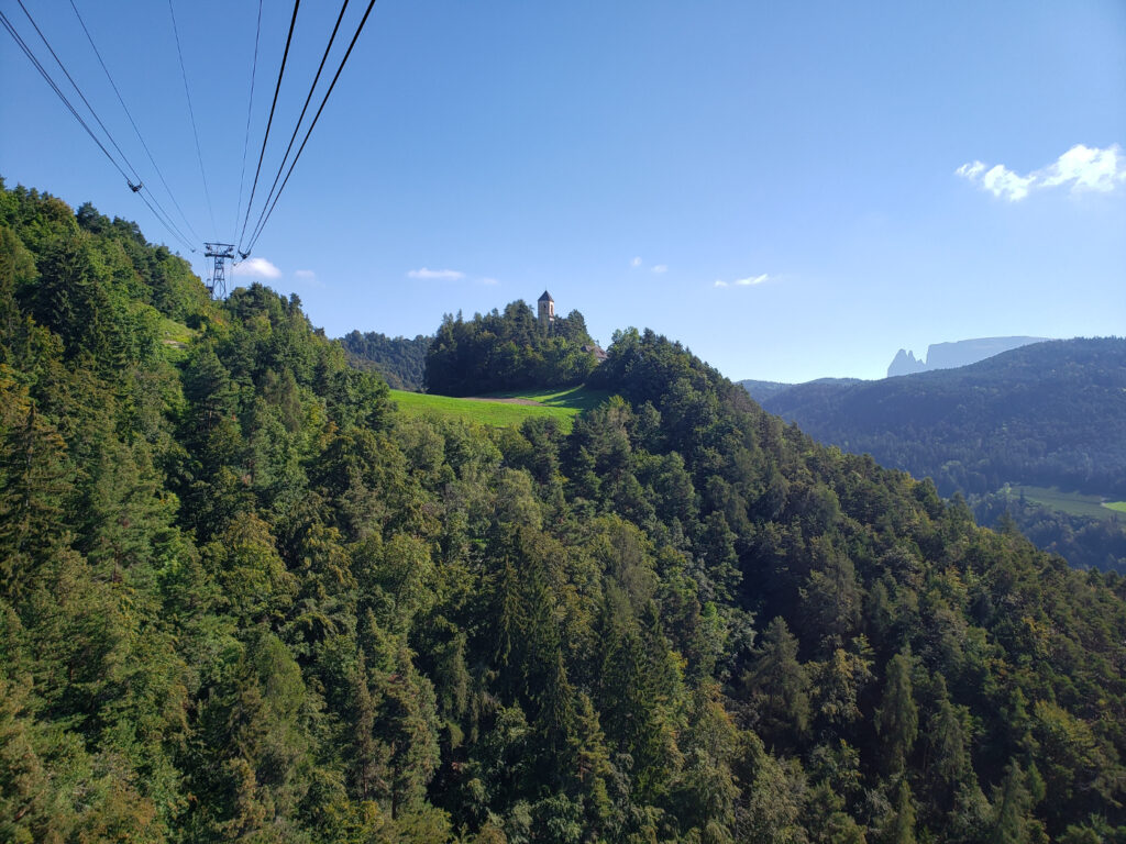
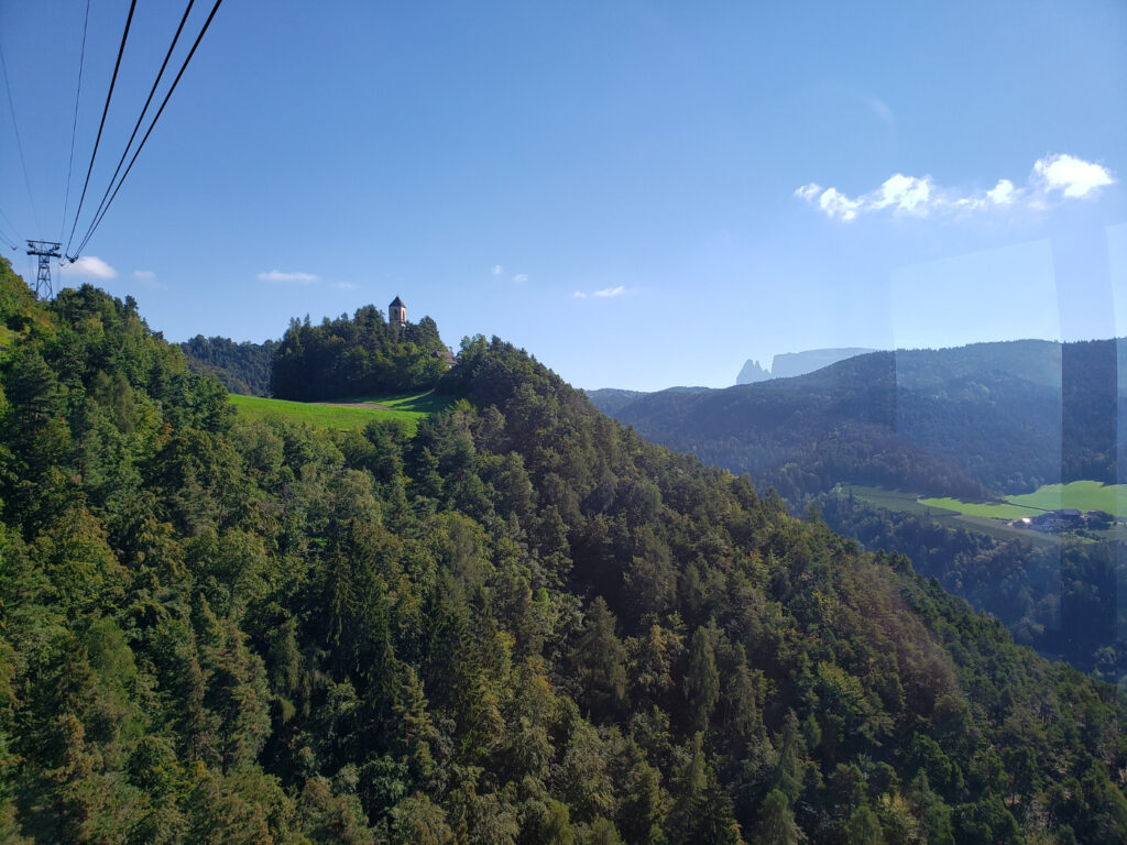
Maria Himmelfahrt
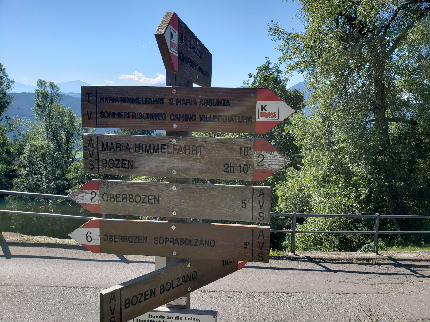
Our first hike was a rather easy trek to the Church of the Assumption of Mary, or Maria Himmelfahrt.
You start out in Oberbozen
Pass some restaurants and caffes
The fields and overviews are amazing!
The cable car that brought us
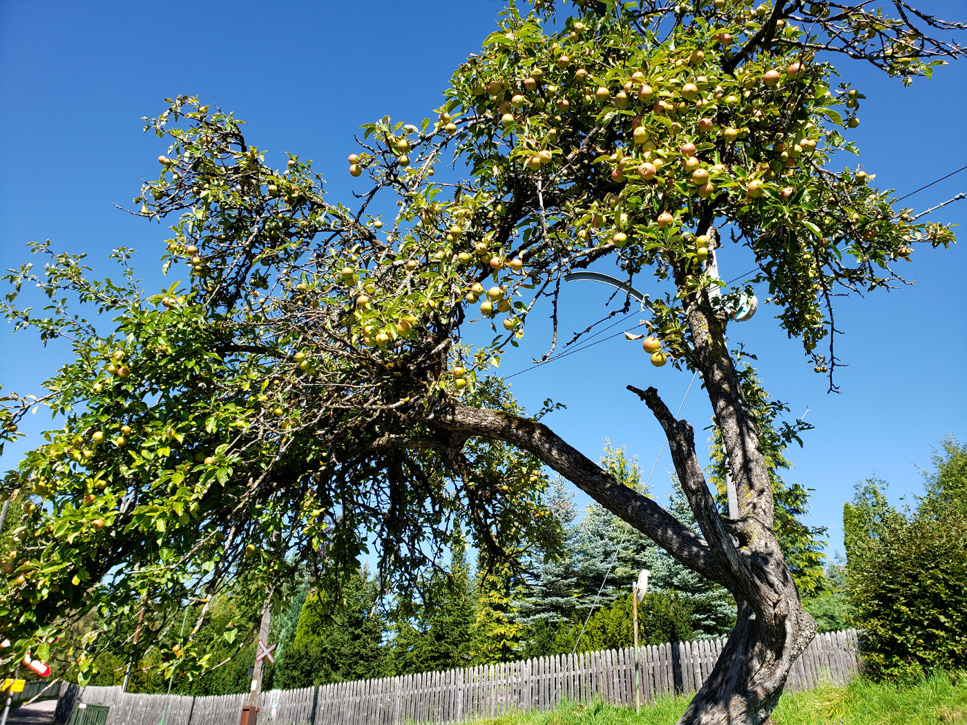
A tired old apple tree, apples are everywhere in Tyrol
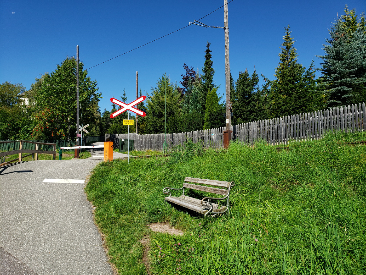
The rack rail tracks
Ten minutes, yeah right!
Religious Shrine
Paths go right through farmer’s property
Farmer’s front door
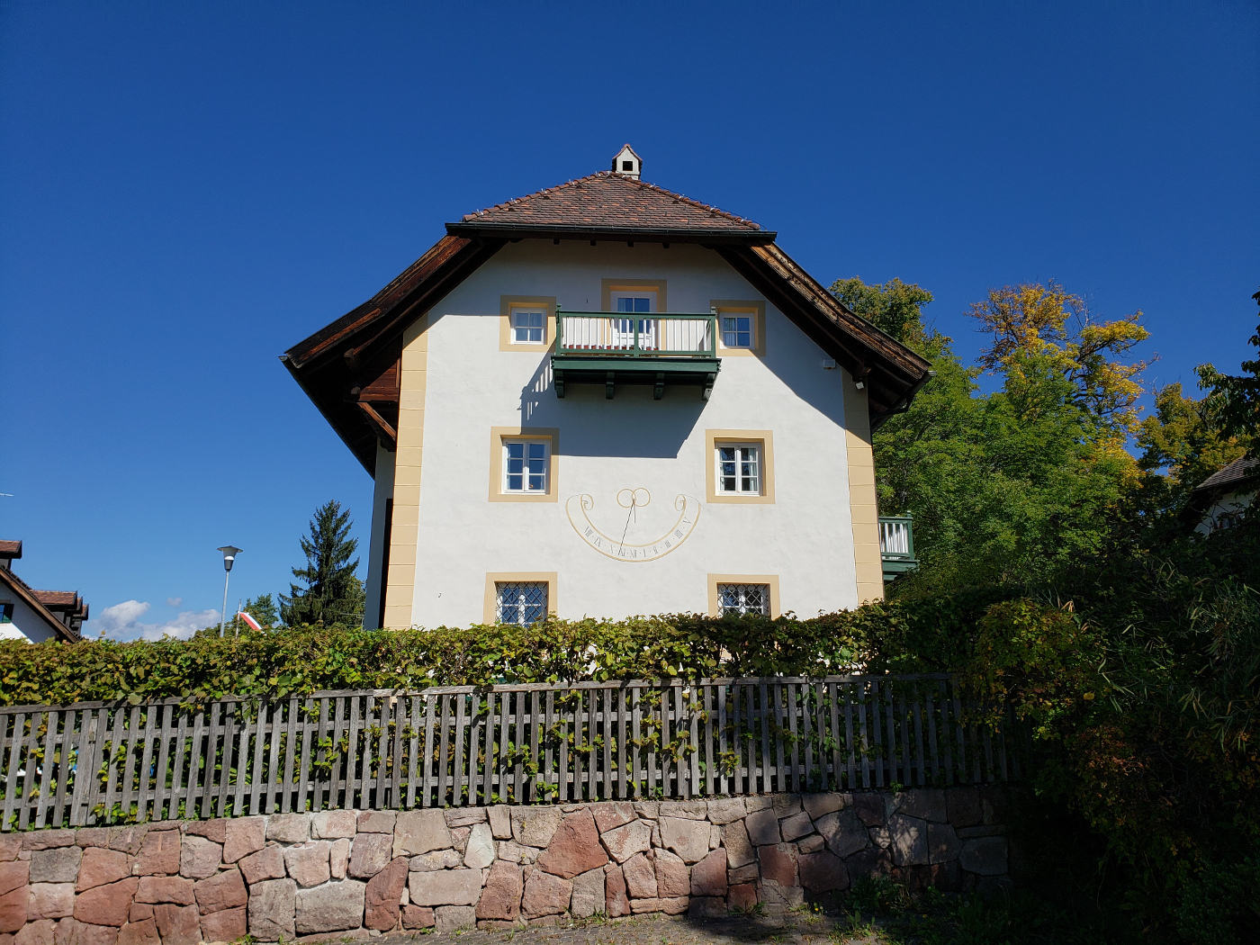
Large farmhouse
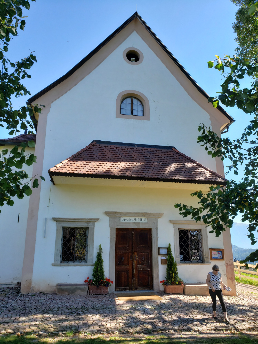
Maria Himmelfahrt – Front
Maria Himmelfahrt – Back
Maria Himmelfahrt – Inside
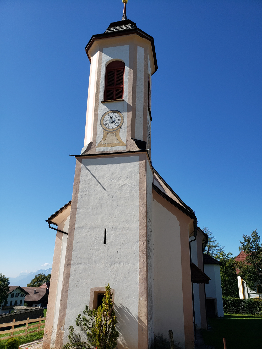
Another church not too far away
It is marked as a twenty minute hike, but we found that must be for a very fast walker. In fact, we would say that it is perhaps true of all the times that were posted (but then again, Schneckie was along). I would have preferred them to post the distance in kilometers, then try to guess how long it should take us to hike it!
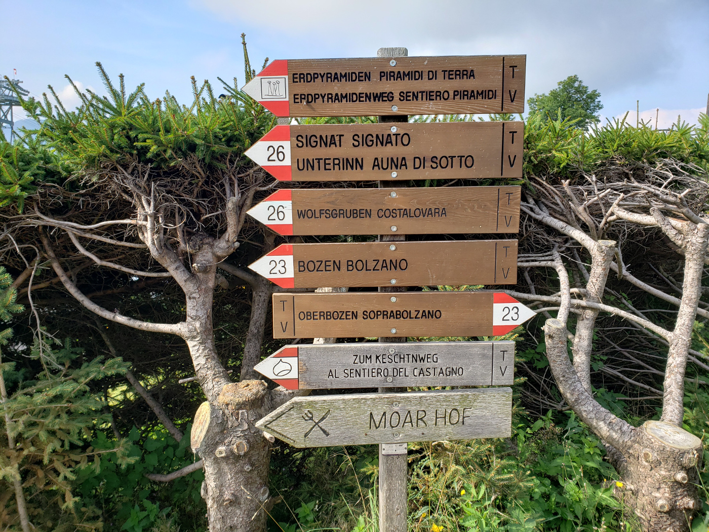
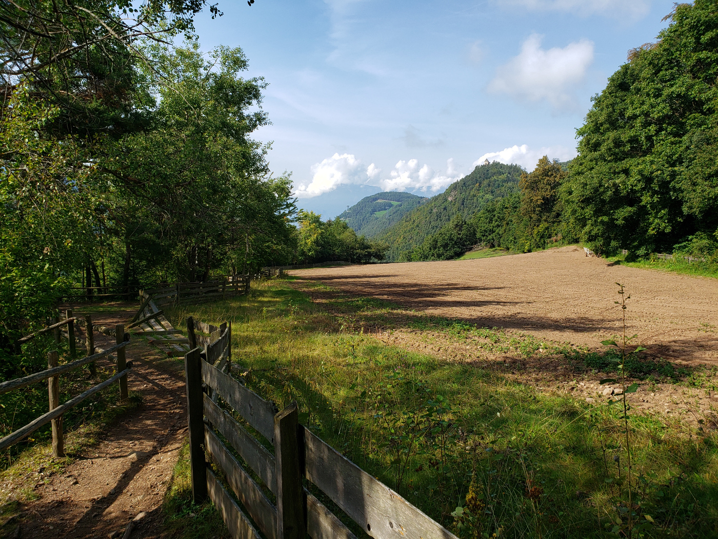
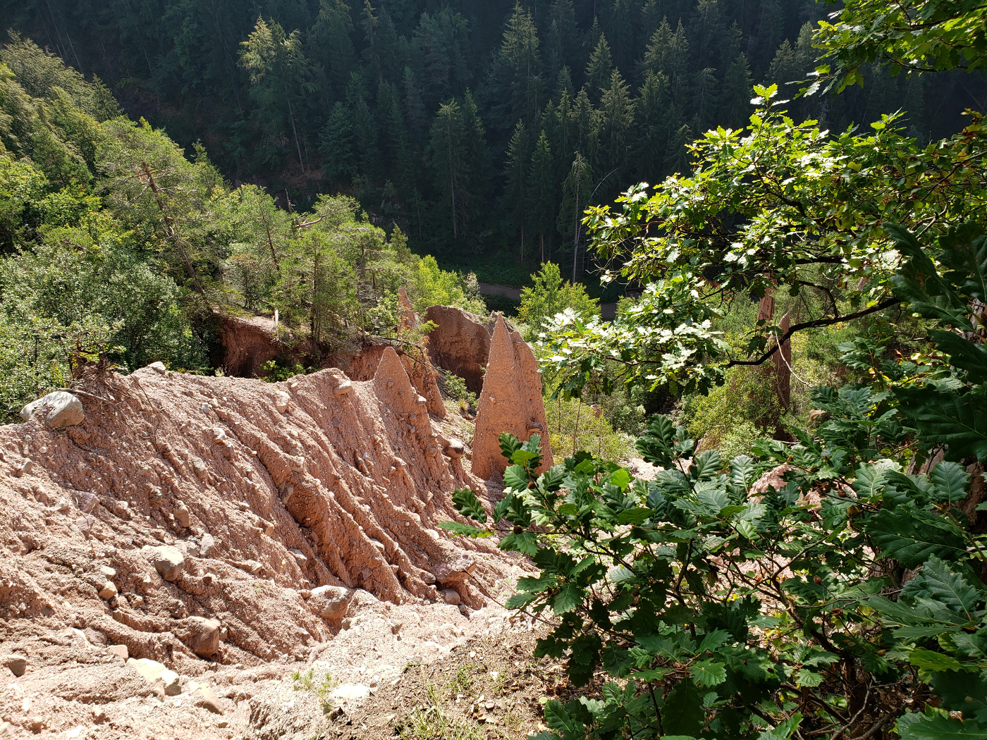
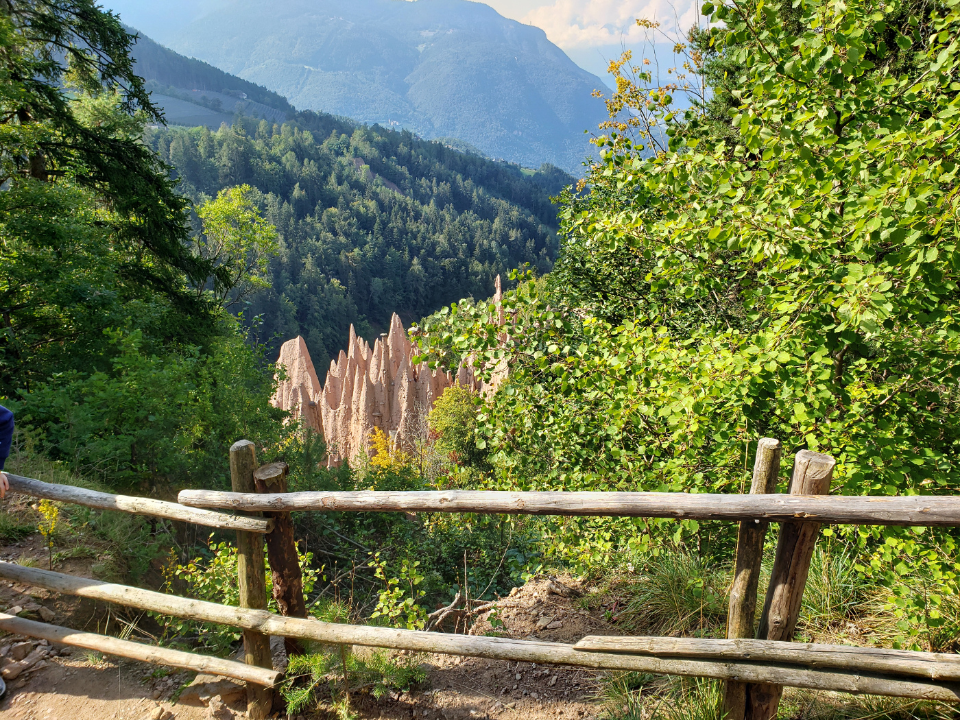
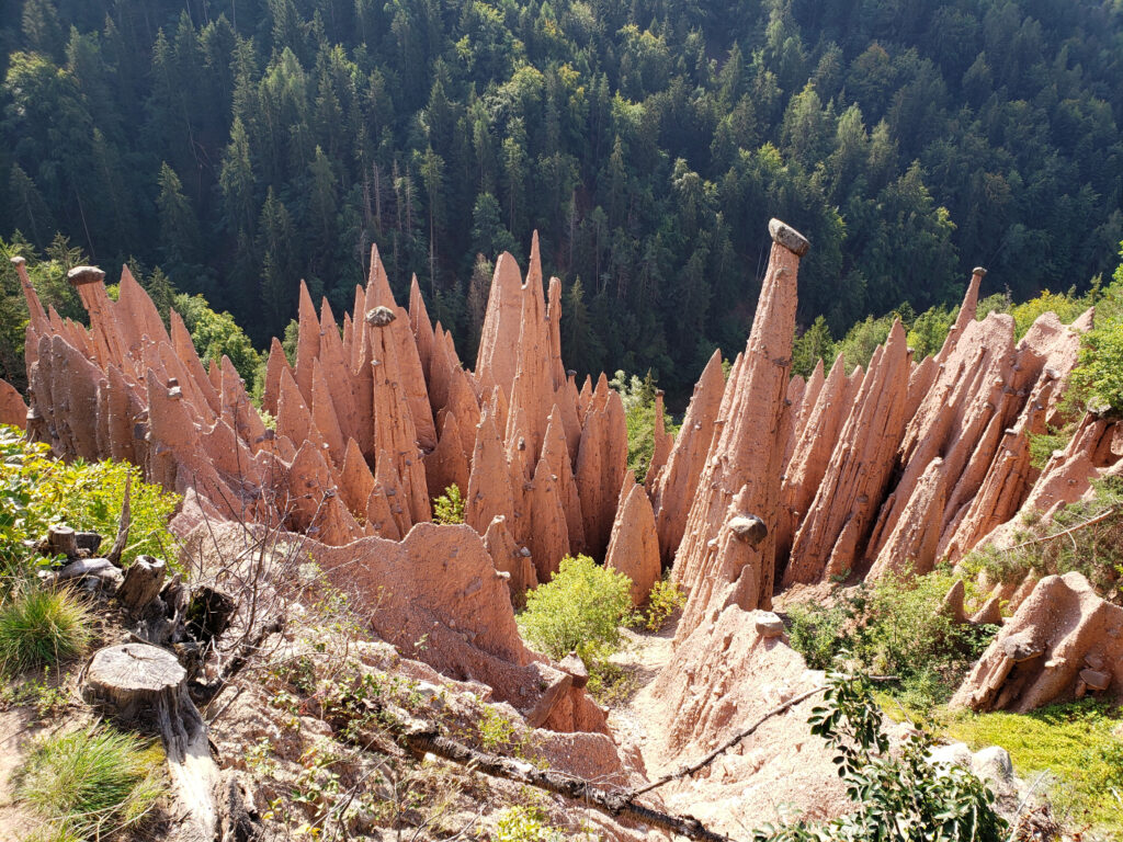
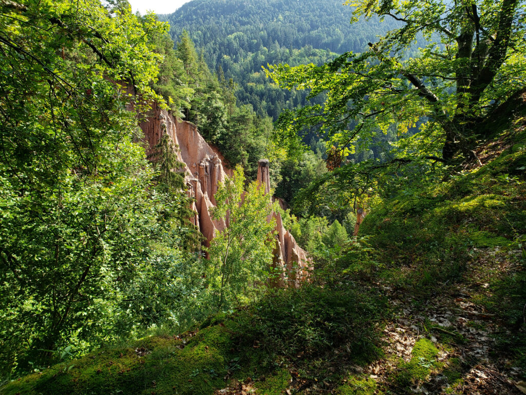
Erdpyrimaden Oberbozen
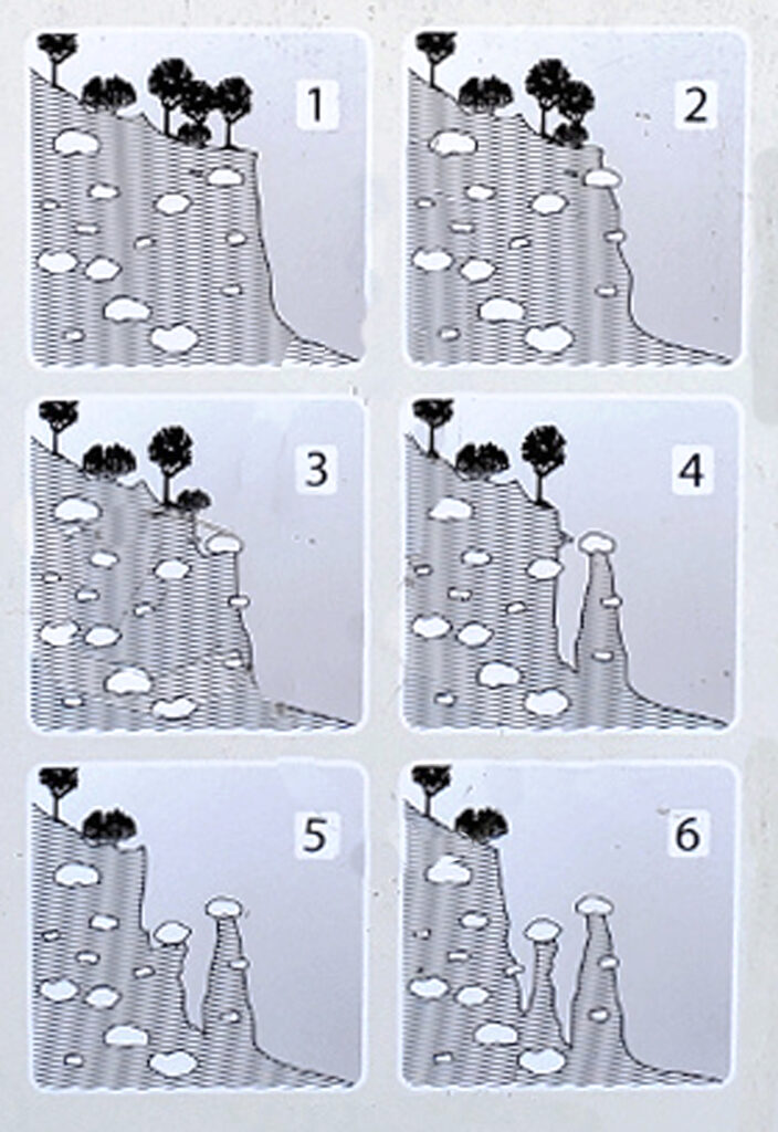
One of the great geological oddities to see are the Earth Pyramids. Some of the rocks that you will see there balanced on the top of tiny pyramids of sand seem likely to have been intentionally placed, and yet it is all only a 25,000 year old geological oddity of a glacial domain and erosion. The process is somewhat shown in the chart below.
How the Earth Pyramids are formed
The hike to the Earth Pyramids from Oberbozen is not far, about a half an hour. However, there are several spots you can view them, which at the time can appear very confusing.
Signs lead the way
The Alto Adige fields
A leisurely hike, for now
The forest of the Alto Adige
The forest of the Alto Adige
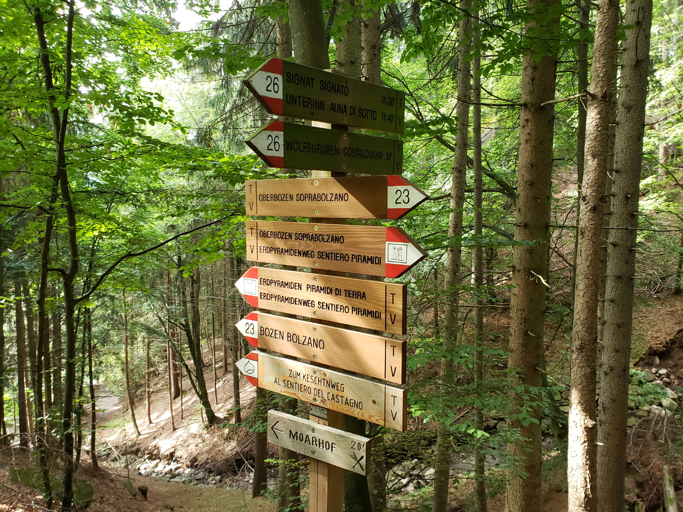
Trail 23 and the Erdpyramiden
Deeper through the woods
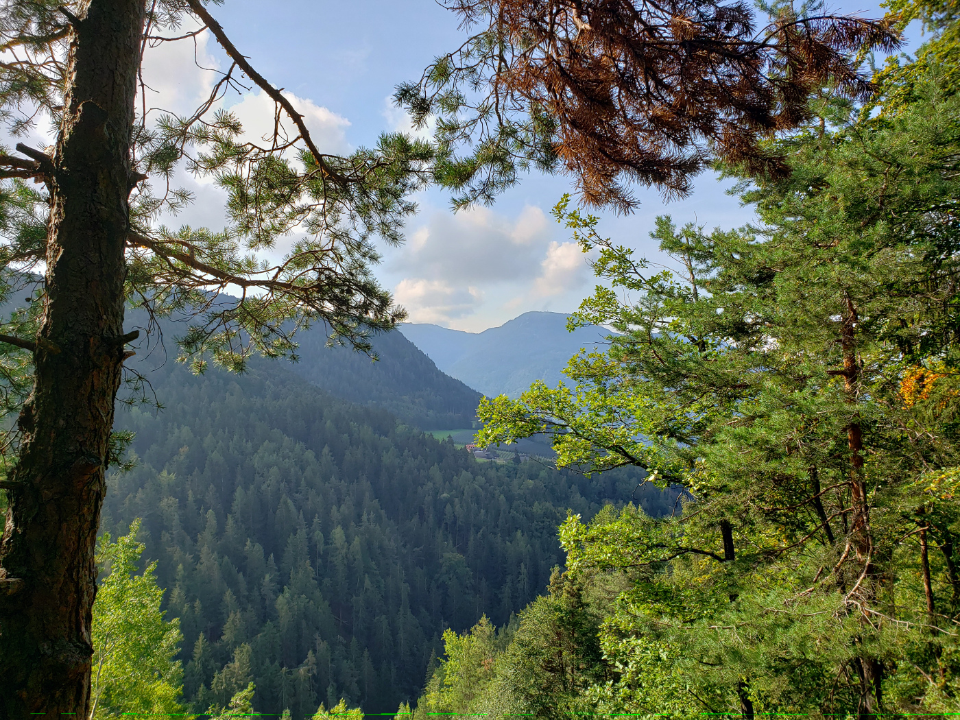
A peak at the Dolomites
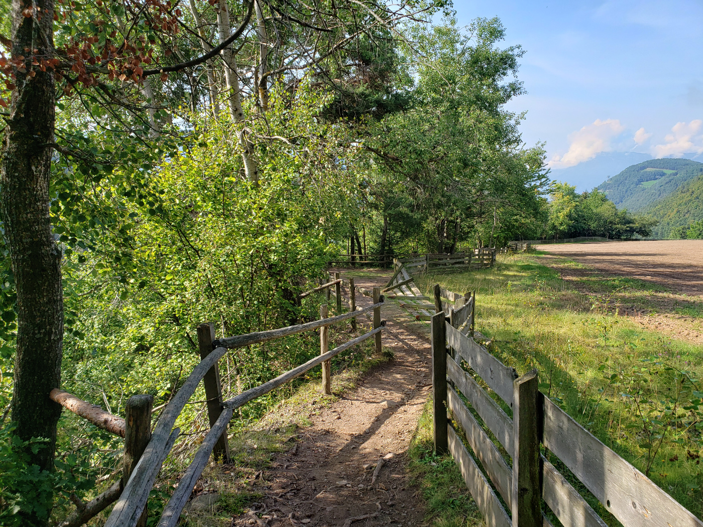
The farm field
The first sign of Erdpyramiden
A little more
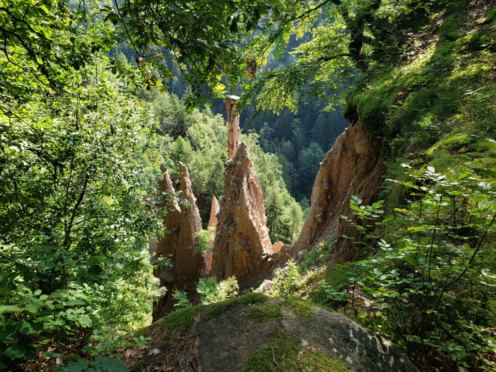
The main or Haupt Erdpyramiden
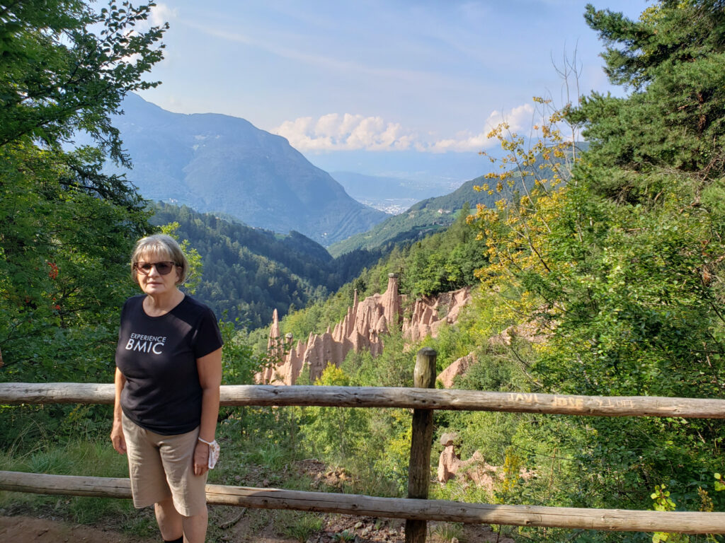
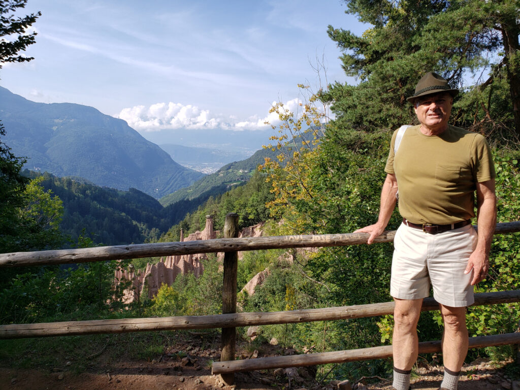
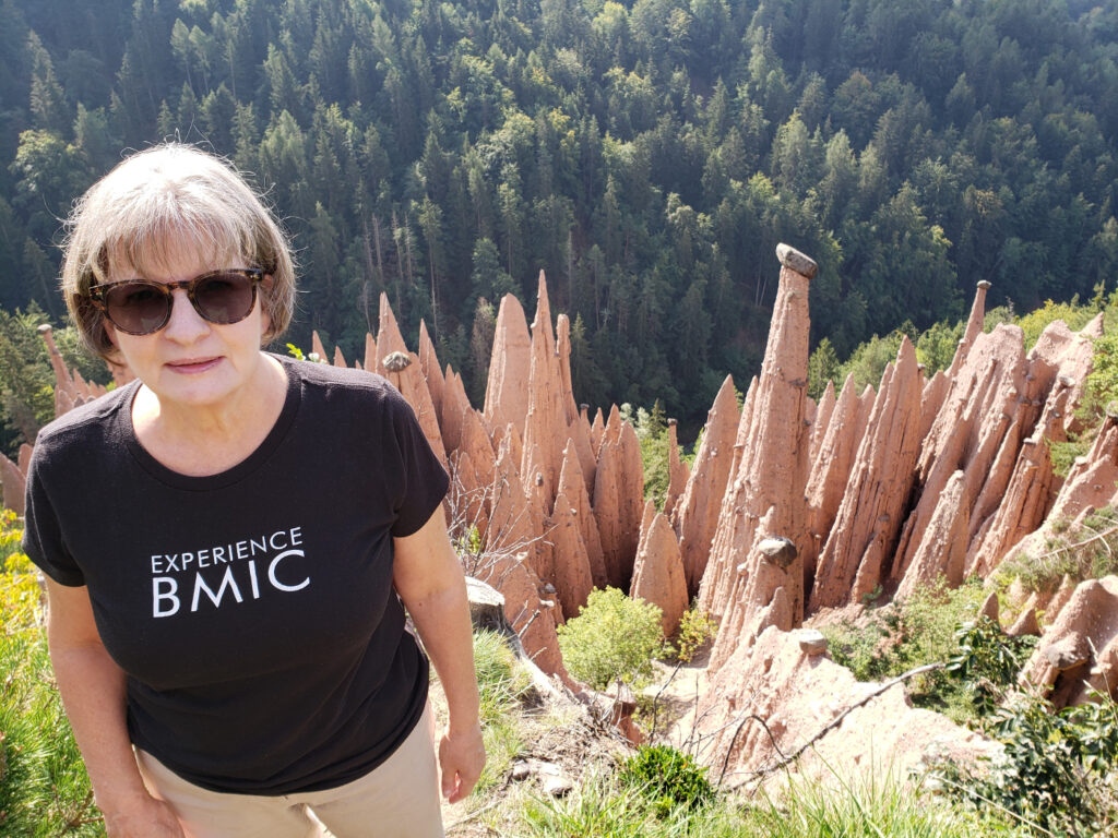
The best vantage point we found was at the very end of the Erdpyrimaden trail by the farmer’s field. I would call this the Haupt Erdpyrimaden, and have so marked it on Google Maps.
Haupt Erdpyramiden Oberbozen
Patti by the Haupt Erdpyramiden
Erick by the Haupt Erdpyramiden
Patti, close up, by the Haupt Erdpyramiden
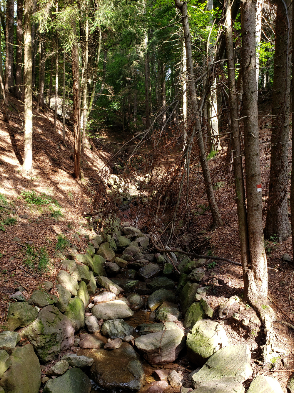
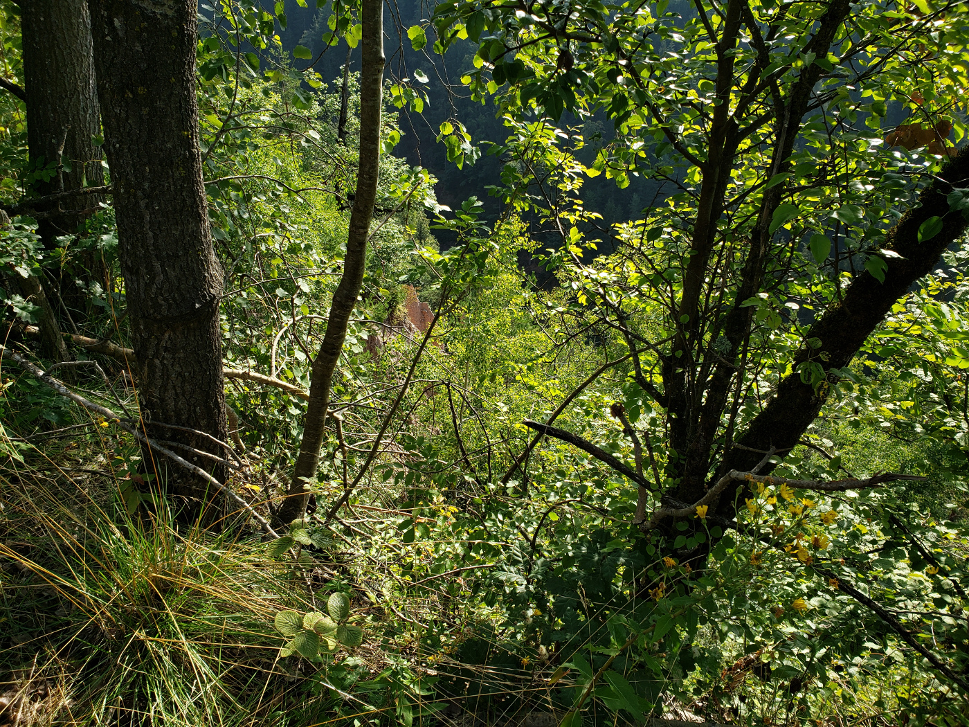
There is another lesser set of Earth Pyramids further down the trail in a wooded area. But they are not as spectacular as the previous ones. Aside from that, it is rather technical and more dangerous to get any closer to these to take any better photographs.
You hike further down Trail 23 passed a barn
Back into the forest, then you notice another outcropping – Rivallaungraben
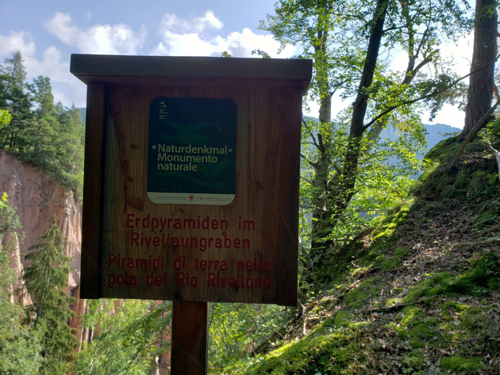
Rivallaungraben Erdpyramiden sign
Rivallaungraben Erdpyramiden
Hiking Down To Bozen/Bolzano
We decided after the Earth Pyramids to continue our journey on foot, instead of walking the trail another half an hour to forty minutes to Oberbozen. This turned out not only to be adventurous, but very rigorous, as in the trail actually becomes quite steep and challenges anyone’s thigh muscles to hold on.
Great views
Vineyards along the way
The trail
Erick on Trail 23, going towards Bozen/Bolzano
We can attest that it does NOT take an hour and fifty minutes to hike from Oberbozen to Bolzano, it is more like two and a half hours. Anyone who has done it any quicker has cheating, using roller-blades or other devices. It was also rather warm out, forcing us to pace ourselves somewhat in order to conserve what energy we had left.
Panorama on trail
The route is rather simple, taking Trail 23 to the Earth Pyramids first, you continue along down the mountain until you hit Trail 6, and then take that the rest of the way into the city. You will exit somewhere very close to where the cable car took you up the mountain.
Restaurants
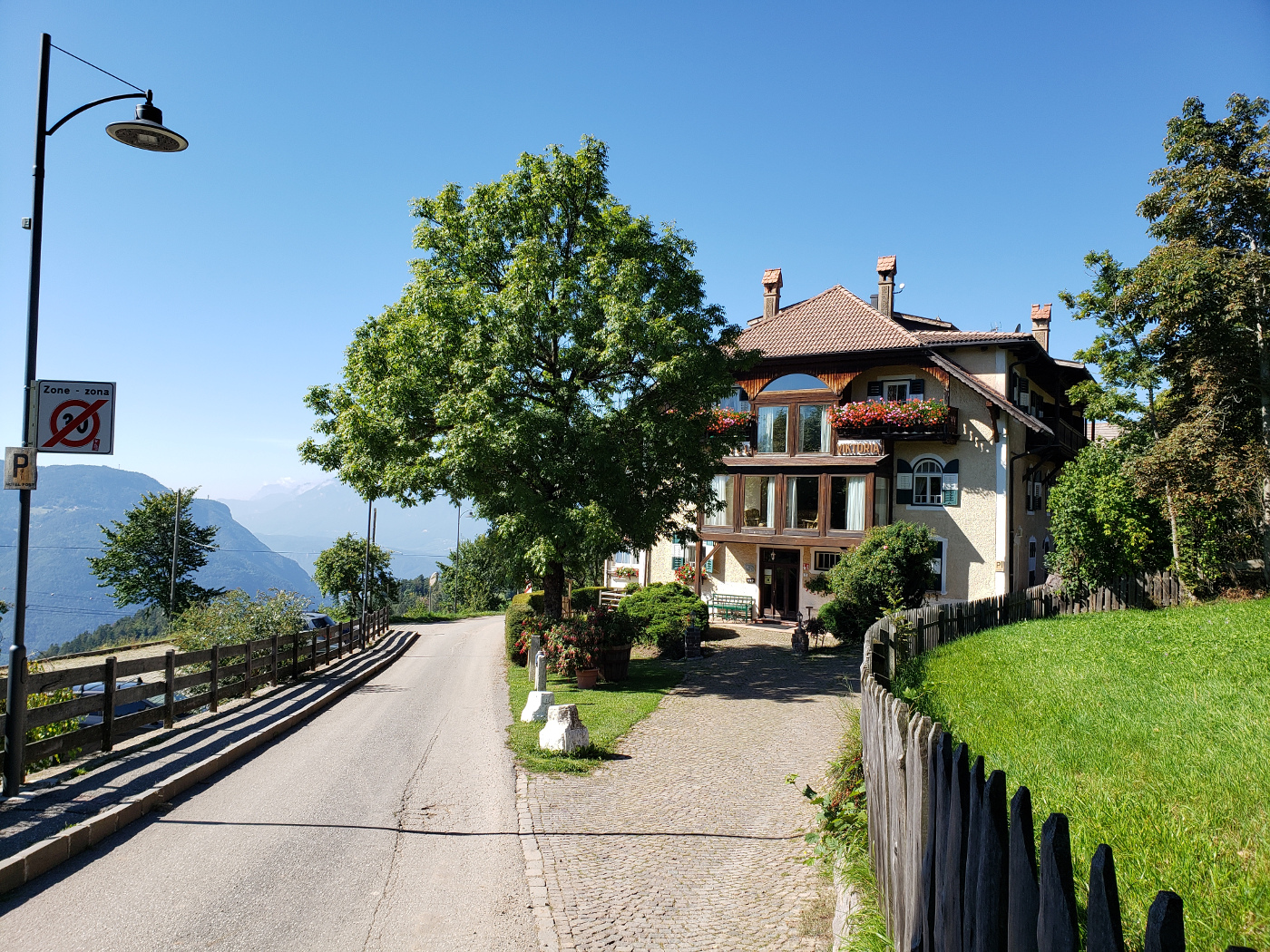
Hotel Post Victoria
Situated along the trail of the Maria Himmelfahrt is the Italian Ristorante Post Victoria.
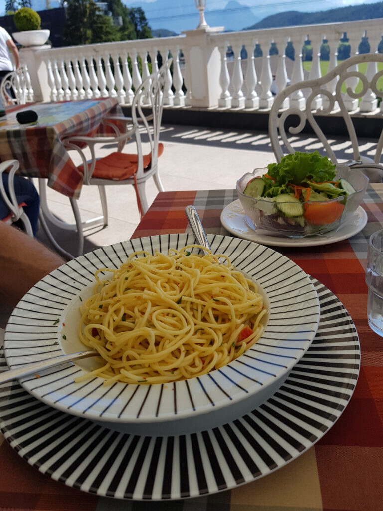
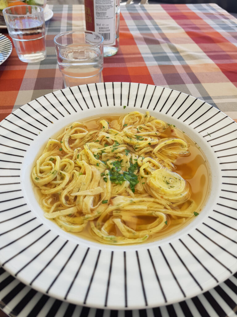
Pasta with Olive Oil and Garlic
Beef bouillon with herb celestine
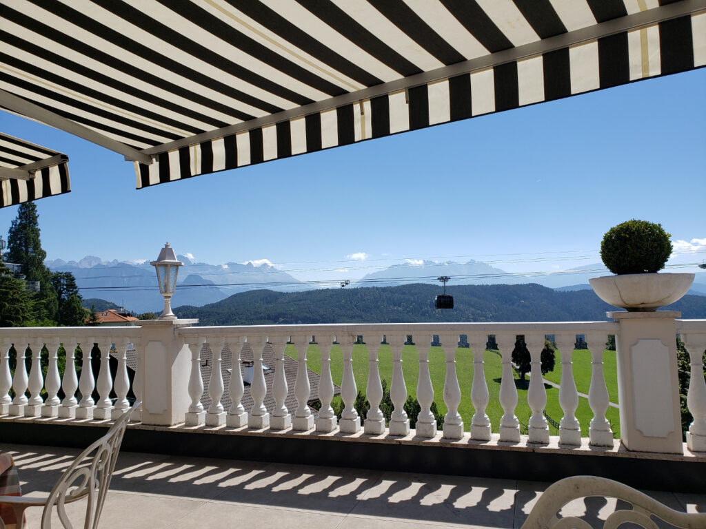
The View
Patti enjoying life
They have good Italian food at very reasonable prices and amazing views of the Alto Adige Alps. A great was after a hike to Maria Himmelfahrt to recharge those stomach batteries with food and wine to continue your journeys.
Der Schwarze Katz
The Black Cat or Schwarze Katz was a discovery after climbing off the mountain in pain and hunger. You will find it at the end of Trail 6 coming into the North of Bolzano.
Pasta e fagioli
Caprese Mozzarella
It was actually rather busy when we got there which was around one o’clock or a little afterwards. Limping and tired we sat down ready for what ever they were willing to throw at us.
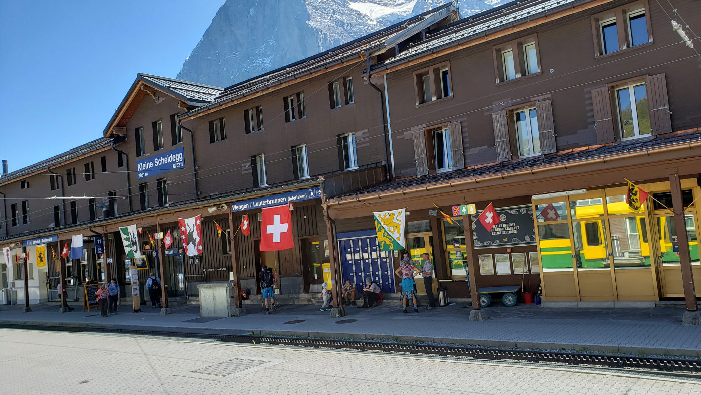
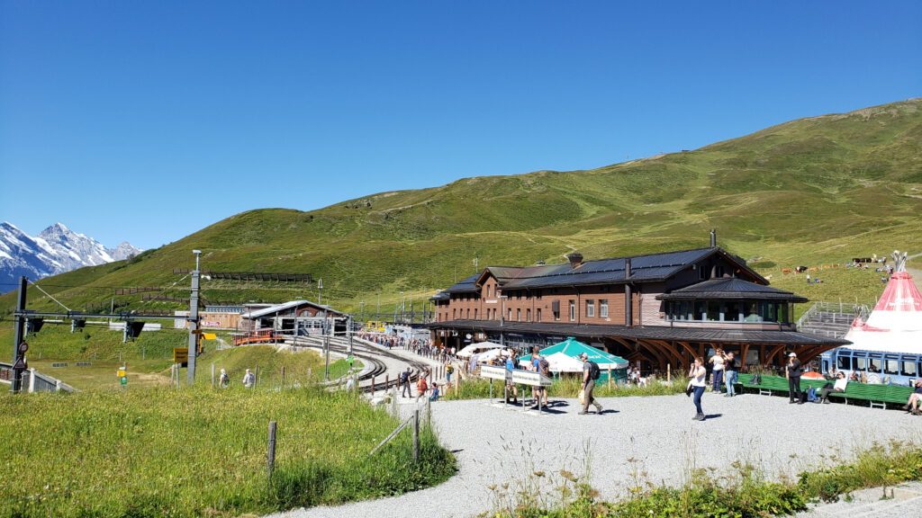
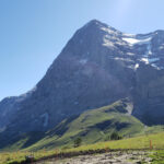
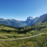
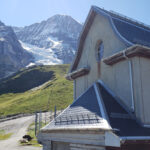
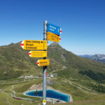
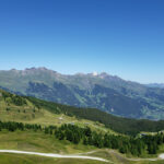
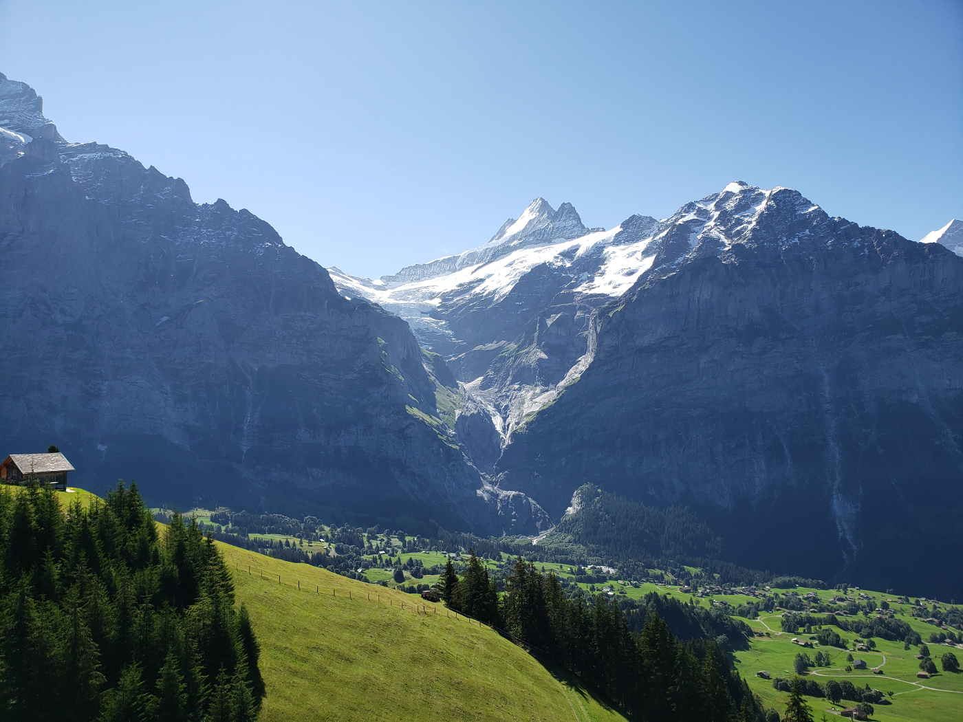
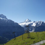
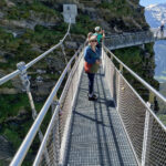
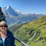
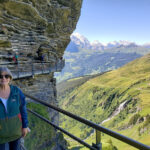
At two thousand or so meters above sea level and little Grindelwald, is the small train interchange of the mountain pass at Kleine Scheidegg. Three separate lines run from here and it becomes a busy little beehive in the morning hours, less so in the afternoon, at least during summer.
Kleine Scheidegg Train Station
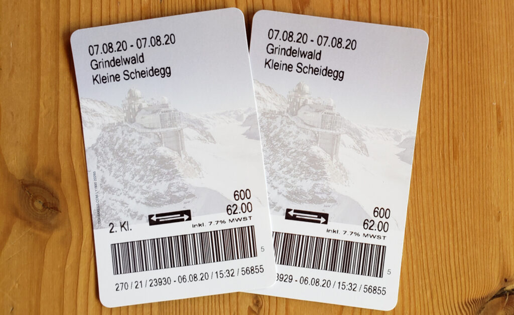
We purchased our tickets in Grindelwald station not thinking much about passes, which is actually a mistake, but live and learn. In any case, to get there you take the rack train, or cog train, from Grindelwald.
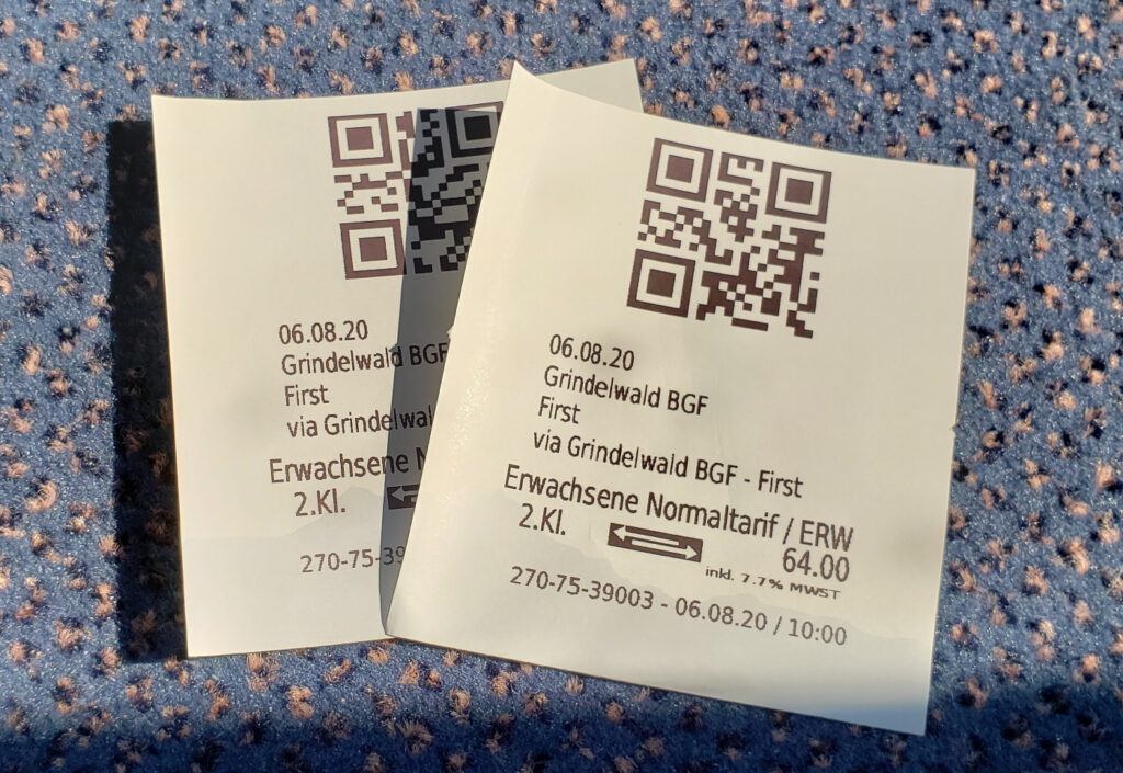
Tickets For Two – Grindelwald to Kleine Scheidegg
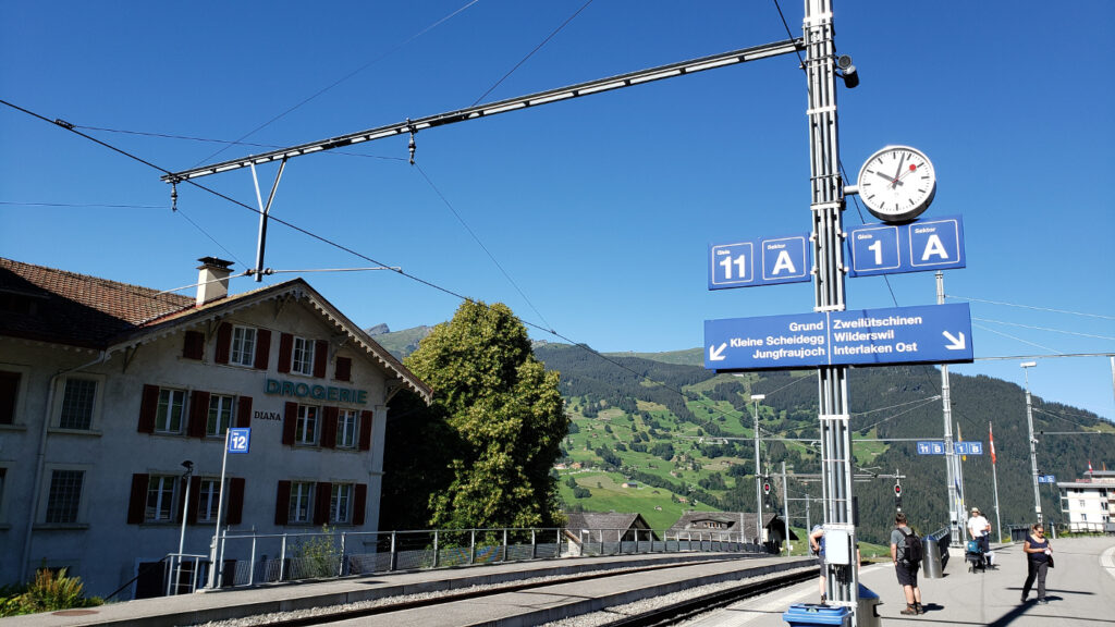
Our Train Track is A
The way up takes about thirty minutes and there are about three stops along the way, including Grindelwald Grund, to pick up passengers who drive to take the train on a day trip. Since I forgot to take a video going up, here is a short one on the way down.
Note: Investigate getting a multi-day pass that includes the Jungfraujoch and traveling in the area. Especially if you are traveling with family or a group, this may save you serious money. The Jungfraujoch is an inclusive train/experience, so it will be a bit pricey, so any discount you can get may relieve the sticker shock.
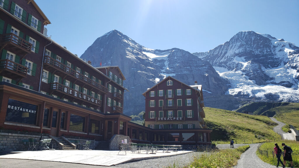
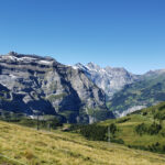
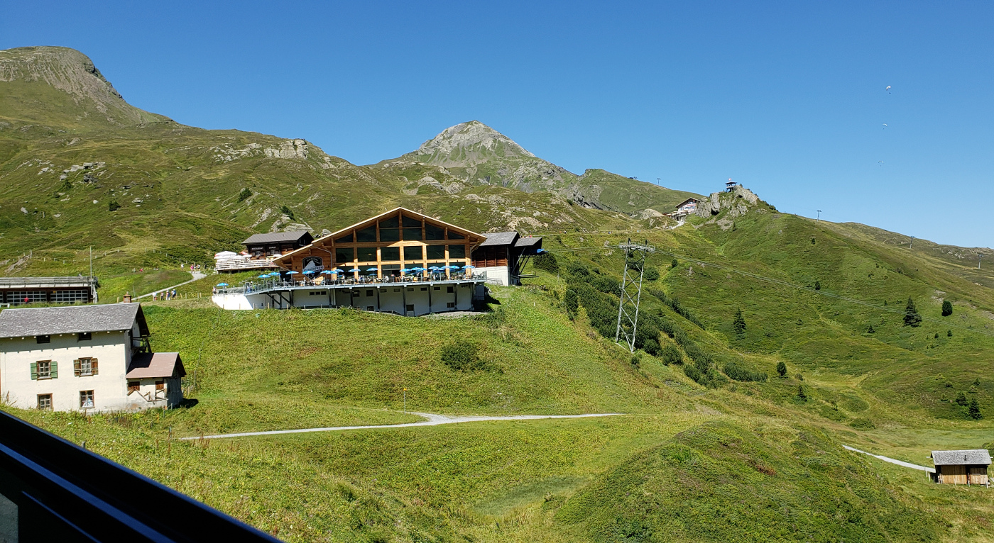
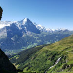
Kleine Scheidegg
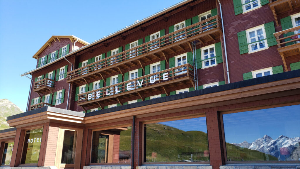
With the Hotel Bellevue, where Clint Eastwood stayed during the shooting of The Eiger Sanction, a movie based on the novel with the same name; Kleine Scheidegg is a collection of hotels, cafes and train lines to other parts, including Jungfraujoch and Lauterbrunnen.
The Hotel Bellevue
The Hotel Bellevue
Kleine Scheidegg Train Station
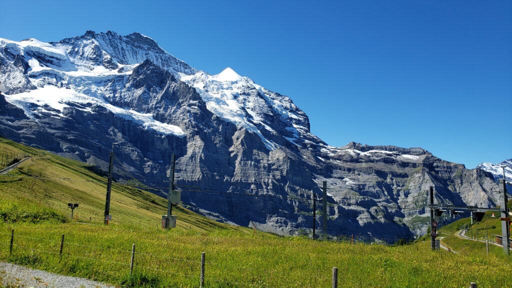
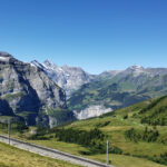
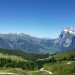
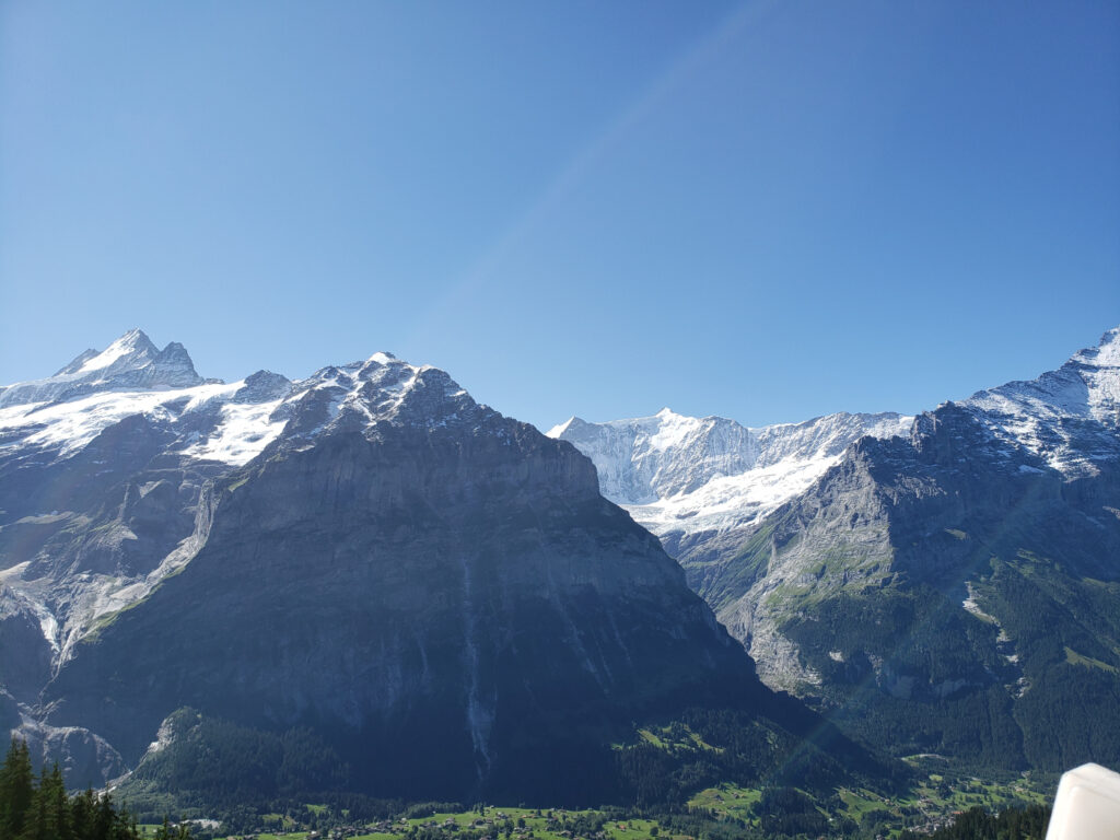
The Surrounding Mountains
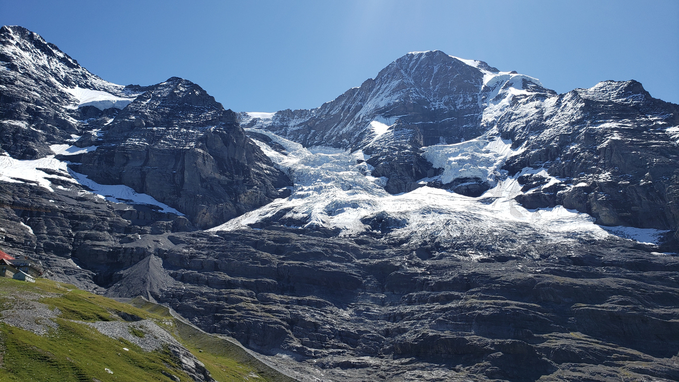
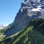
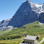
The Eiger Glacier
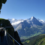
Next to the imposing Eiger, the Eiger glacier drains its icy contents between itself and the Mönch, while Jungfrau sits idly by, to the right of both.
The Eiger Glacier – Eiger Is To The Left, Mönch Is Directly Behind It
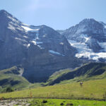
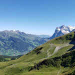
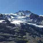
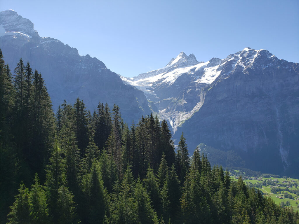
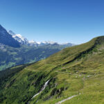
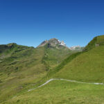
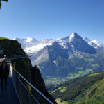
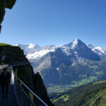
The hike from the train station up to the glacier is about an hour and can be quite demanding at time. There is loose gravel and some tricky places where you ascend. But it’s all worth it in the end, the views are amazing. Here is a slideshow of the sights that we saw on our trek up.
Eiger Glacier – 50 Minute Hike
The Eiger
The Eiger Glacier – First Glimpse
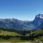
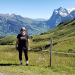
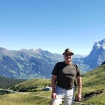
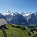
Grindelwald
Grindelwald and Wetterhorn
Alpine Pastures
Stechelberg Gorge
Stechelberg Gorge and Tremmelfeld
Jungfrau
Jungfrau – Eiger Walk
Manmade Lake Before Glacier
Jungfrau And Other Peaks
Foot Soak Anyone?
Alpine Building
Patti And Wetterhorn and Grindelwald In Distance
Erick And Wetterhorn and Grindelwald In Distance
Trail Signage
The Way Up
Some Other Glaciers
Emergency Station – Fully Personed
Eiger Glacier
Kleine Scheinegg
Gorge and Surrounding Mountains
Jungfrau Massiv
Glacier Post
More Signs – Pick Your Route
North Face Of The Eiger
The View Down
The North Face Of The Eiger
Across The Valley
Looking East Toward Grosse Scheidegg
Other Glaciers Forming On The Jungfrau
Restaurants
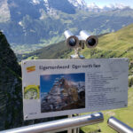
I hope you enjoyed our trip to the glacier and the area around it. We actually did eat at a small place here, it’s not much to look at, and at the time they only had window service because they are still in reduced operations.
Restaurant Eigernordwand
This little restaurant has very limited room inside and outside, so first come, first served, as they say. The menu is rather simple, but the food is very good. Like other places around and due to its location, the prices are on the high side, especially for window-only service.
Restaurant Eigernordwand
If you are traveling during virus restrictions, keep in mind that you have to remain flexible. So prices notwithstanding, we still enjoyed it and felt that we had a decent lunch when we left.
Our day trip ends with a short video of us pulling out of the Kleine Scheidegg station. Patti and I both agreed we have to visit during winter, to get the full feeling for this beautiful place.
If you are looking for things to and have the time, the way to probably see the area around Grindelwald is with a package, like a three day pass. There are others to choose from and some can save you some serious money, if you plan correctly. Since we were kind of flying by the seat of pants, this being a rather long excursion for us, we decided to go the à la carte, even though we kind of knew what we wanted to see.
Grindwald First
Though included in several packages, you can purchase this tourist package separately. It cost us 62CHF per person with no discounts, which they constantly asked us for but would never tell us how you can obtain one of them (is that not typical Swiss).
Tickets For Two!
The View From The Cable Car
On Our Way Up
Pastoral Views Around Grindelwald
However, we enjoyed ourselves thoroughly. The alpine air, the walks and especially the views. Here is a slideshow on our way up the mountain Schwarzhorn for our amazing views of the Grindelwald Valley and the surrounding moutains.
Here are also a few video clips of our ascent up the Schwarzhorn and to the Oberjoch ridge and Grindelwald First.
The Bachalpsee
After the Grindelwald First, and yes that actually just covers the walk around the Oberjoch cliff, there is also a nice hike to the Bachalpsee. It is signed as a fifty minute walk, but if you are with children and others, you may want to add ten or twenty minutes to your round trip time, just for talking and other diversions, like picture taking.
Erick With The Alps Behind
Patti With The Bachalpsee Behind
Patti With The Alps Behind
Signs To Everywhere
Refuge
The Alps
Our Way Back
Follow The Signs
The Bachalpsee
The Bachalpsee – Another View
The above slideshow details our lazy day trek to the Bachalpsee, a very nice walk to an alpine lake. A bit rocky along the way, but you can make it with a good pair of tennis shoes or sneakers.
That’s it for now, will be back tomorrow with more travel adventures.
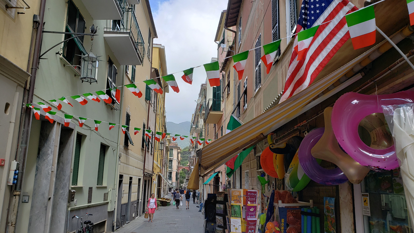
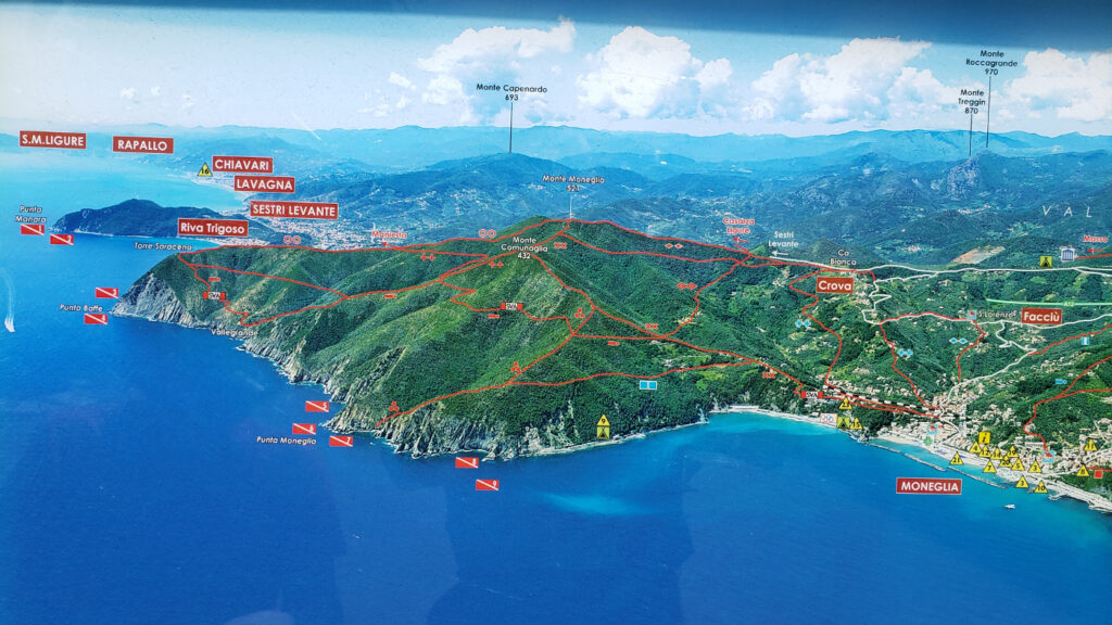
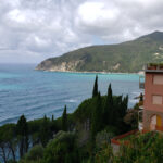
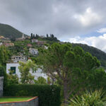
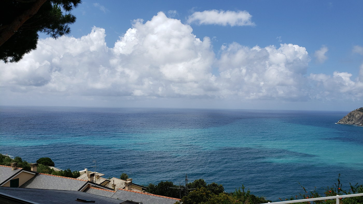
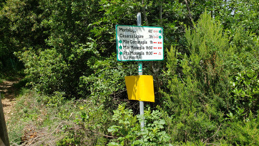
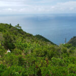
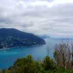
For the curious, and approximately a two kilometer walk from the heart of Moneglia, is the small hamlet or cluster of homes called Lemeglio. This tiny little place provides yet another wonderful, bird’s eye view of the town and coastline below, albeit from the opposite direction as before.
The View Of Moneglia And Its Bay From Lemeglia
Getting There
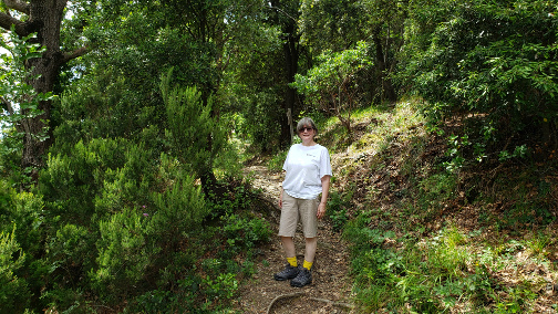
There are several way to get to Lemeglio from Moneglia, but taking a car or the bus service (which of course is provided because of the locals), would probably not be worth it, since there is so little to see along the way or in Lemeglia. There is very little to no parking and turning around looked like a nightmare to us. We chose to hike, using the well marked trail that the area has provided and made a short morning of it.
Leaving Moneglia
After a quick breakfast, we headed out along the via Vittorio Emanuele going South. Taking a few turns through town here and there and crossing the stream, we left town and quickly found the trailhead.
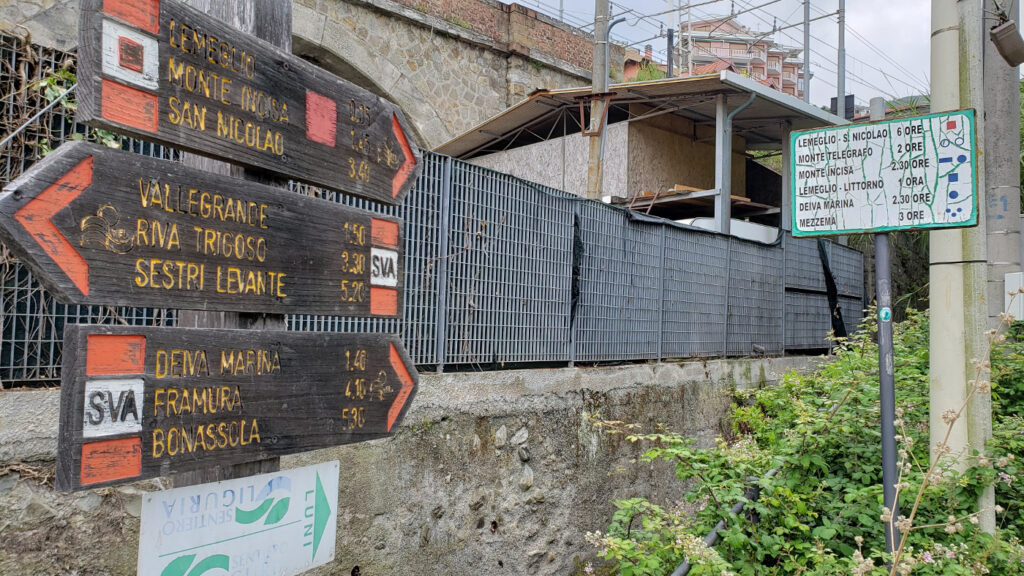
The Map Of The Trails
The Red Square – Lemeglia
From here the paved path and stairs ascend rapidly, lines on one side with the railroad tracks to start and a fence on the other.
The Start Of Our Climb – A Good View Of The Rail System
The rest of the trip is just a series of the same, stairs interspersed with walking on roadway, until you get up to Lemeglio itself and the overlook it provides.
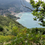
Moneglia Bay
Looks Pretty Steep To Me
The Coastline
Olive Tree Groves Line The Roadways
The Church Steeple From Afar
Patti Hiking The Trail
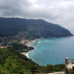
Moneglia Bay
Moneglia Bay – An Overlook
Moneglia – Another View
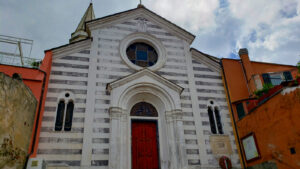
The Church – Our Destination
Chiesa Santa Maria Assunta
The church sits atop this hill surrounded by a small cluster of houses, some well maintained, others less so. It is a church built in the typical style for Liguria, both in shape and use of stone. There is what appears to be a small, abandoned building just to its left that is decorated with a statue of the Holy Mary. If you are tall enough to look inside, you will notice a very old olive press that is falling apart. Perhaps it is where the locals used to come to press their olives each harvest season?
Santa Maria Assunta
Holy Mary – Building With Olive Press
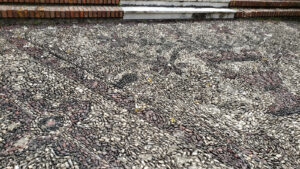
Pavement With Small Stones
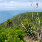
Below is the last photograph you can enjoy for this spot, from here the trail ascends even more, into the trees and then over the ridge. It would be the natural route to take if one were headed South and to Cinque Terre.
The Ligurian Sea
The trip down is somewhat faster and less eventfull, but we were happy we took the time to explore above Moneglia once again. If only just to get out and stretch the legs and breathe in fresh air without a mask!
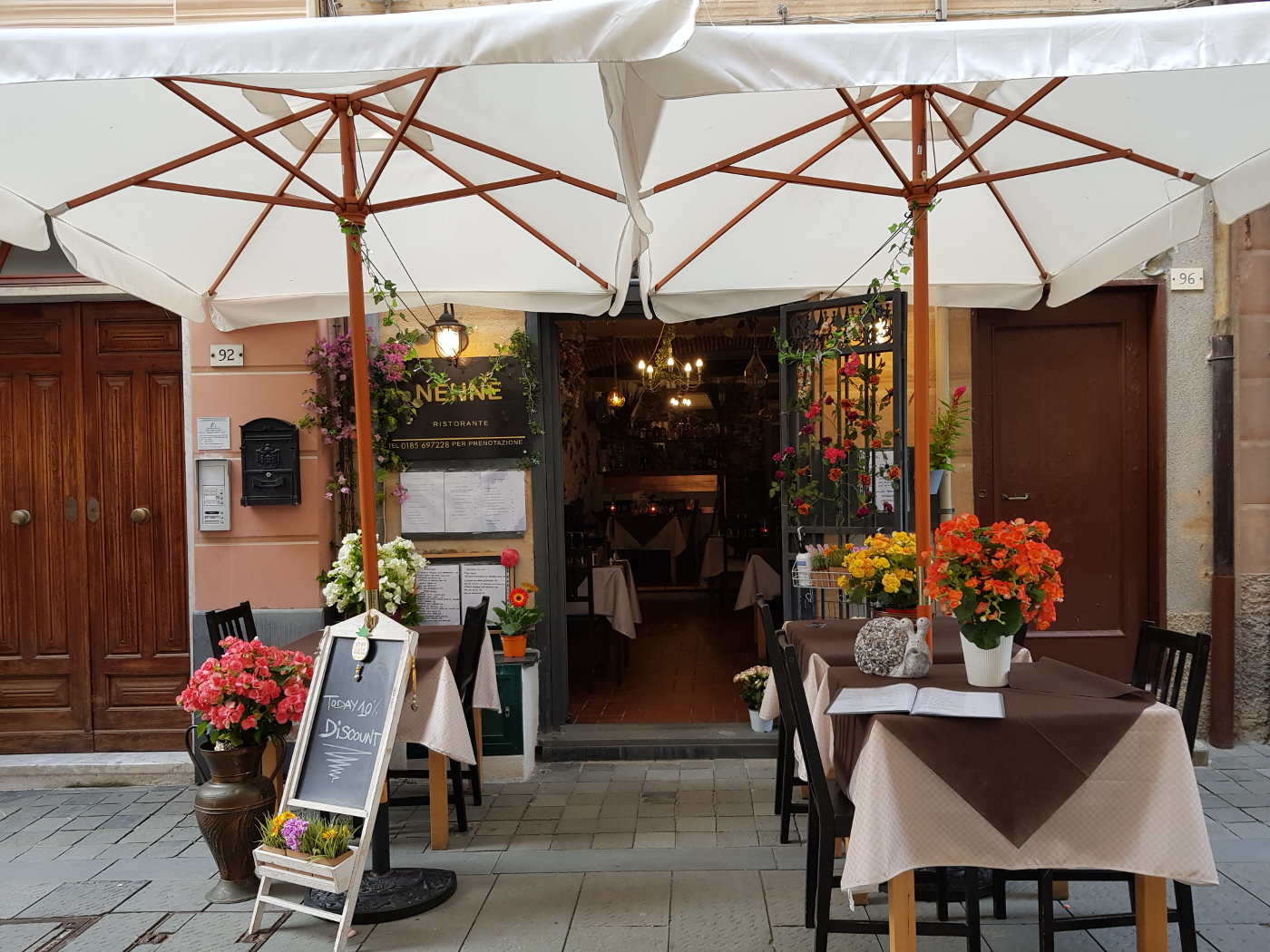
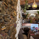
Ristorante Nenne
This small, innocuous little restaurant can be passed by anyone walking on the via Vittorio Emanuele easily without notice, especially if they are not paying attention. Nenne is without a doubt, an actual hole in the wall. And though it has not been in business long, it has a great seafood menu and very good prices.
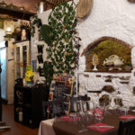
The Eclectic Interior
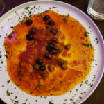
Erick’s Swordfish – Red Sauce With Olices
Patti’s Gnocci With Porchini Mushroom Sauce
A View From Inside Looking Out
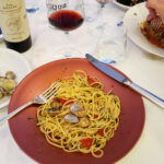
Erick’s Spaghetti And Clams – Yes Again!
The Eclectic Interior
The Eclectic Interior
So ends yet another day in the small, coastal town of Moneglia. I hope you enjoyed this entry, tomorrow more and our adventure to Chiavari.
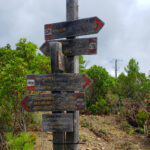
We have a saying in our country, though no longer often heeded by some of our leaders, of taking the high path or road. In the comune of Moneglia you can actually do this, though not figuratively speaking; but by actually lacing up your hiking shoes and climbing the hills that gird this fine town. Not only will you feel better than those that don’t take the high road, you will also have a better view!
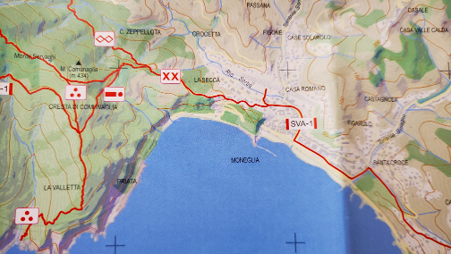
XX And -. Our Chosen Paths
Planning And The Initial Ascent
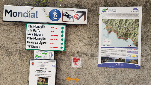
Before any ascent, a quick visit to the local tourist information center should be your first stop. There they can inform you on the best way to enter the maze of paths and hiking trails that criss-cross the hills and country-side above the town; they can also offer you a handy map for your initial planning and your pocket along the way.
Initially Seems Easy Enough
To find the entry point to the Northwest you can more or less follow via Caveri that takes you to the train station, then a short way on via Ammiraglio Bollo. On the left hand side of that road, there will be a concrete staircase that ascends from the sidewalk. A little further walk from there will bring you to the sign shown above. Again, it is best by now to have a very good idea of where you are headed, since not all signs along the way are as clear as the one above. However, the trails are well marked with the indicators assigned to them, so as long as you know where you are headed, you should have no difficulties.
The Dash-Dot And Double-X Routes
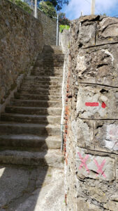
Initial Walkways
The initial ascent has some stairs and long, inclined walkways that are fairly easy to navigate. After this, the ascent only gets steeper, though it is all on pavement and semi-improved roadway. It’s not too long before you notice that you are making real progress getting above the town.
A View Of The Bay At The Very Start
Hiking The Cresta Di Comunaglia
After this, you make a quick turn off the pavement and into what looks to most as a gully. It almost looks like something you shouldn’t hike.
Erick On The Steep Roadway
The Streambed Entry
Once the path turns off the roadway it is rather steep and a bit treacherous. Though you could use sneakers, hiking shoes are strongly advised. The path when it starts out is essentially a stream bed that probably gets full rather quickly during heavy thunderstorms and downpours.
Trail Marker
Patti On The Path
After some time, and about two to three hundred meters of elevation, the path levels out somewhat. It is still important to pay close attention, there are many hazards, loose rocks and roots along the path.
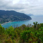
Overlook of Moneglia
Overlook of Moneglia Bay
Hiking Path Signs
The Old Hiking Path Signs
Ligurian Sea
Ligurian Sea
Moneglia Bay
Ligurian Sea
Moneglia Bay
Walking along the Crest of Comunaglia is far less difficult than the climb. There are a few areas where you must mind yourself, falling would prove very problematic. However, the views along the crest path are well worth the time and effort. To get to this point, it took us about one hour of good hiking, while drinking plenty of water every fifteen minutes or so. It was in the high seventies and we brought 75cl of water for each us, which was just about enough. I would recommend, if it is in the eighties or ninties, bring MORE, do not dehydrate, there is nothing around for you to get more!
The entire hike took us a little over two hours, up and back. We had to pace ourselves somewhat, since sitting in Turin for three months has not improved our stamina at all. But if you are into hiking there are tons of trails around, you can even trek from one town to the next. Just plan for the weather and bring plenty of water.
Piccolo Hotel Restaurant
The restaurant of the Piccolo hotel is very nice and due to the current restrictions and low attendance here, we were very well served. Good thing too, after a good day hiking, we were both starving.
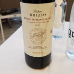
A Good Vino Rosso – Montalcino – Brizio
Erick’s Spaghetti alla Vongole
Erick’s Cima alla Genovese
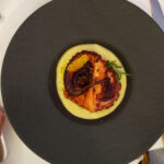
Patti’s Polpo Arrosto
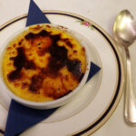
Creme Brulee
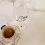
Caffe and Sambuca
The traditional spaghetti in clam sauce is always a hit with me, served with Piccadilly tomatoes, clams and oil, it is a great starter. I also ordered the Cima alla Genovese, which is made with peas, ceci beans and other vegetables, along with a hard boiled egg, rolled in thinly pounded veal. It must be refrigerated, sliced and served cold. It was not only unusual, but along with slightly vinegared carrots, surprisingly good; a very Genovese dish. Patti had grilled Octopus with a cream made from garbanzo beans (ceci in Italy). I tasted that too and it was amazing. Taking into account the quality of the food and service, a very good restaurant. The end to a great day in Moneglia. Until next time, ciao!
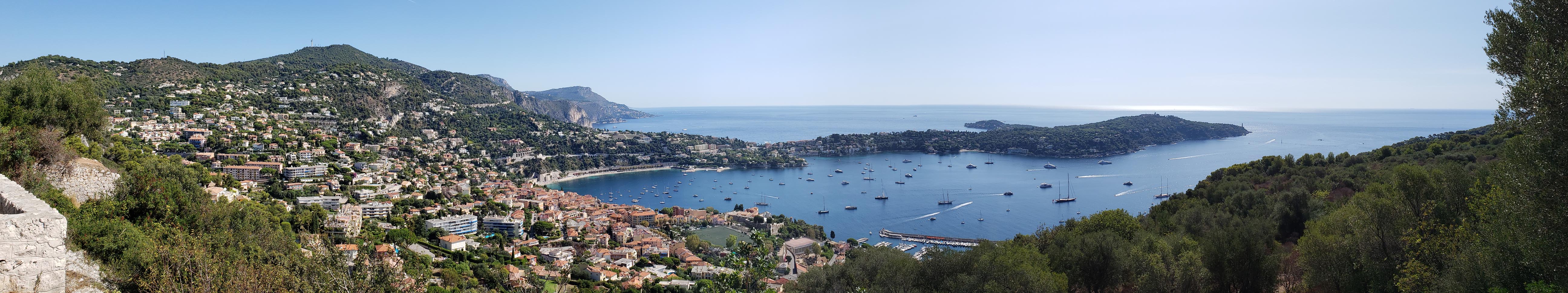
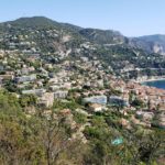
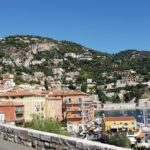
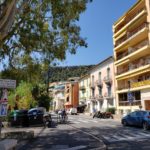
Sitting less than two miles from Nice is Villefranche-sur-Mer, a mere walk away. Since this little port town is also part of the Côte d’Azur SNCF train system, we decided to do just that, one sunny day. We took a walk over the Mont Boron and took the train back.
Walking From Nice
If you are lucky enough to visit this quaint little town on the sea while no cruise ship is in the bay, then you would be as lucky as we were the day we decided to walk there from Nice. A frequent stop of cruise ships Villefranche-sur-Mer is the most used cruise ship docking port in France. Luckily we were spared both the site and the influx of tourists that accompanies such an ocurrence.
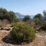
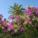
Mont Boron – Typical Vegetation
Mont Boron – View of Cape Ferrat
Mont Boron – French Parks Do Not Use Poisons
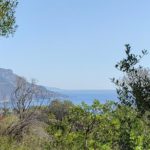
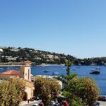
Mont Boron – Villefranche-sur-Mer
Mont Boron – The Bay of Villefranche-sur-Mer
Mont Boron – The Way Up
Mont Boron – Official Gate To The Park
From the old city of Nice, we ascended Mont Boron, which I must say is much higher on the side of Fort du Mont Alban than we experienced on Castle Hill, Mont Boron’s smaller cousin. However, there are very good paths that switchbacks all the way up to help you with the ascent.
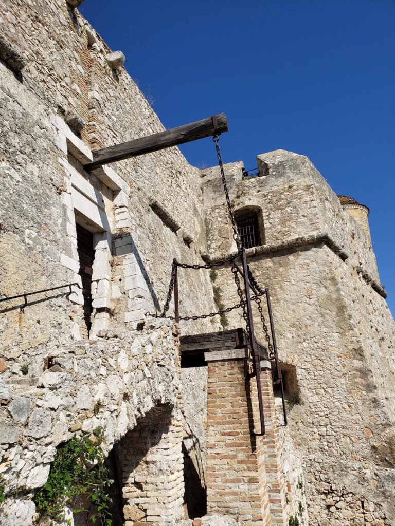
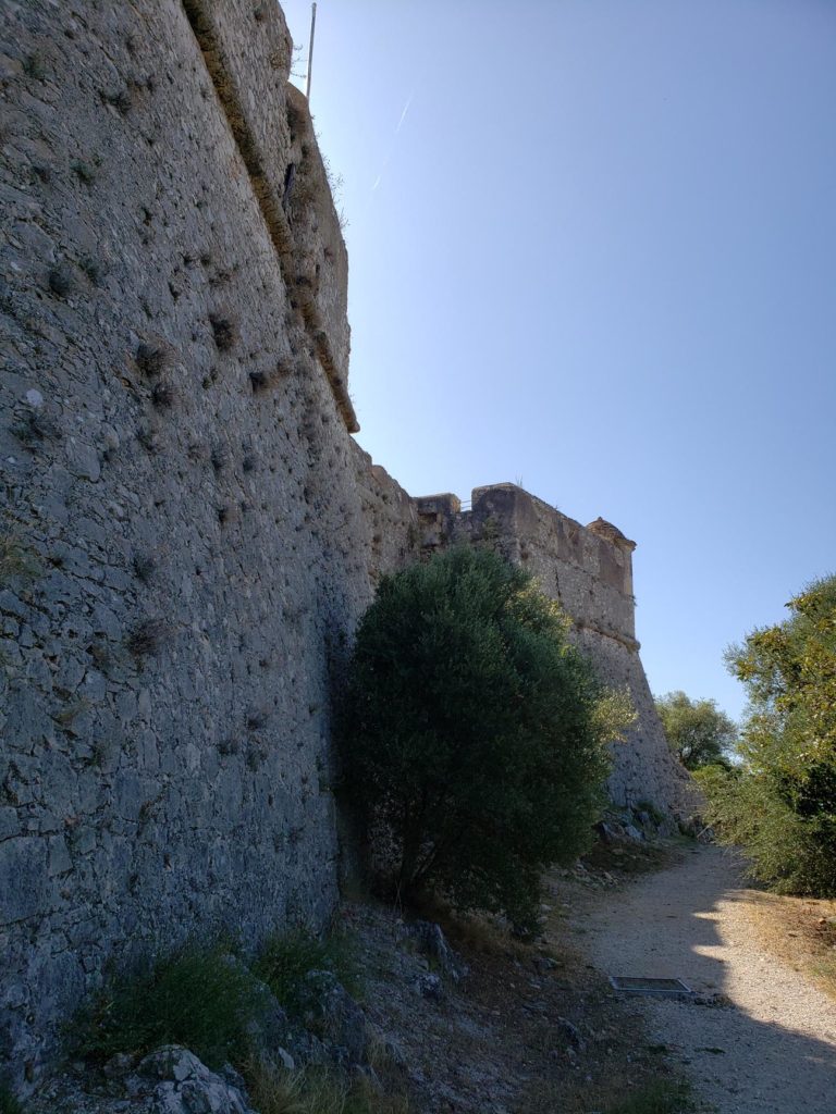
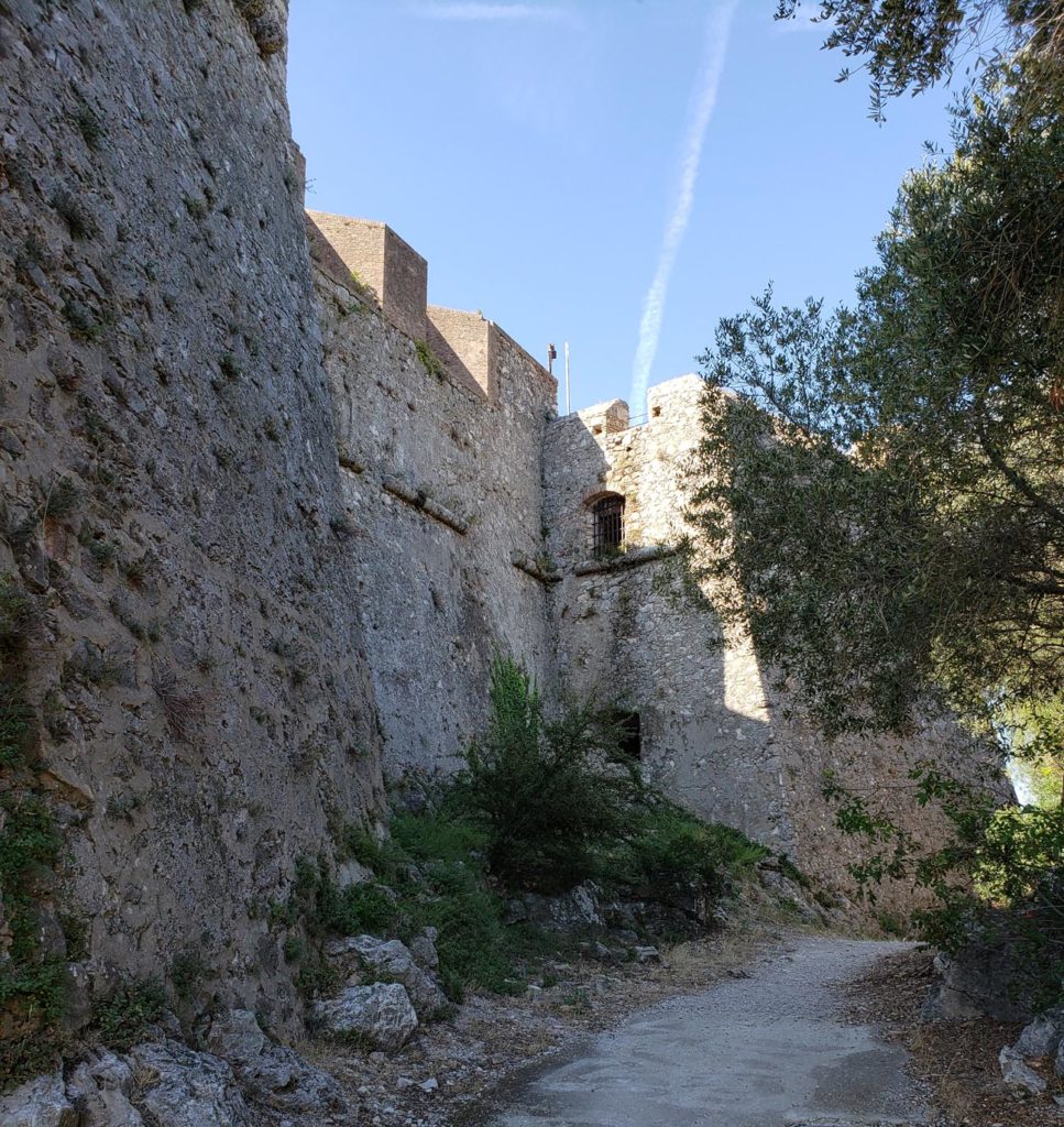
Fort du Mont Alban
The fort from the outside appears to be a four-sided bastion fort. Made entirely of stone, it stands impressively on top of the mountain. Unfortunately, entrance cannot be gained and it appears to be closed. There are no indications that it has ever been opened to the public.
Nice – Fort du Mont Alban
Nice – The Front of Fort du Mont Alban
With the exception of walking up the front stairs to the main door, there appear to be no other entrances on the other sides.
Fort du Mont Alban – Main Gate
Fort du Mont Alban – North Side
Fort du Mont Alban – Ericka from Front Gate
Fort du Mont Alban – West Side
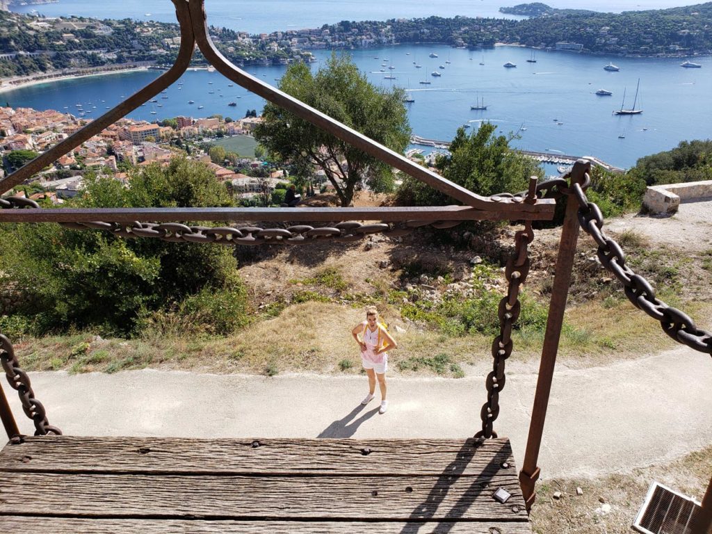
After getting our fill of the view from this vantage point, our walk to Villefranche-sur-Mer continued by finding the path to the town about a hundred meters to the left, leaving the fort. On your map, this path may be called the Chemin du Fort du Mont Alban.
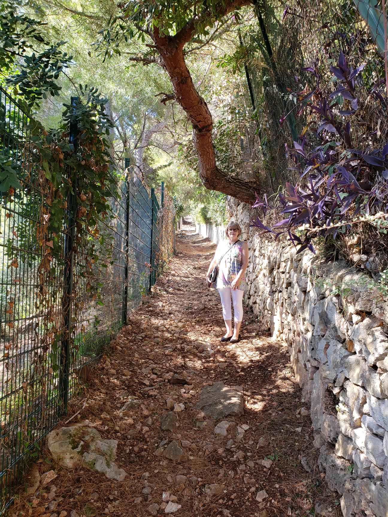
Patti Descending the Chemin du Fort du Mont Alban
The path starts off easily without much slope, but it progressively gets steeper and less developed the further down you go, until you finally hit the town itself. So, care should be taken.
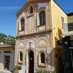
The Town On The Sea
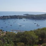
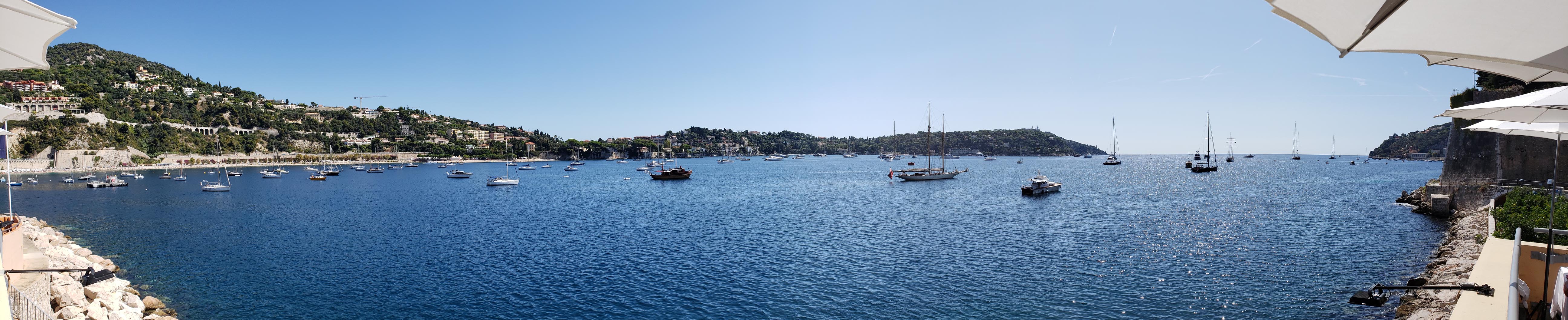
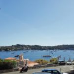
The Bay of Villefranche-sur-Mer from Mayssa Beach Restaurant
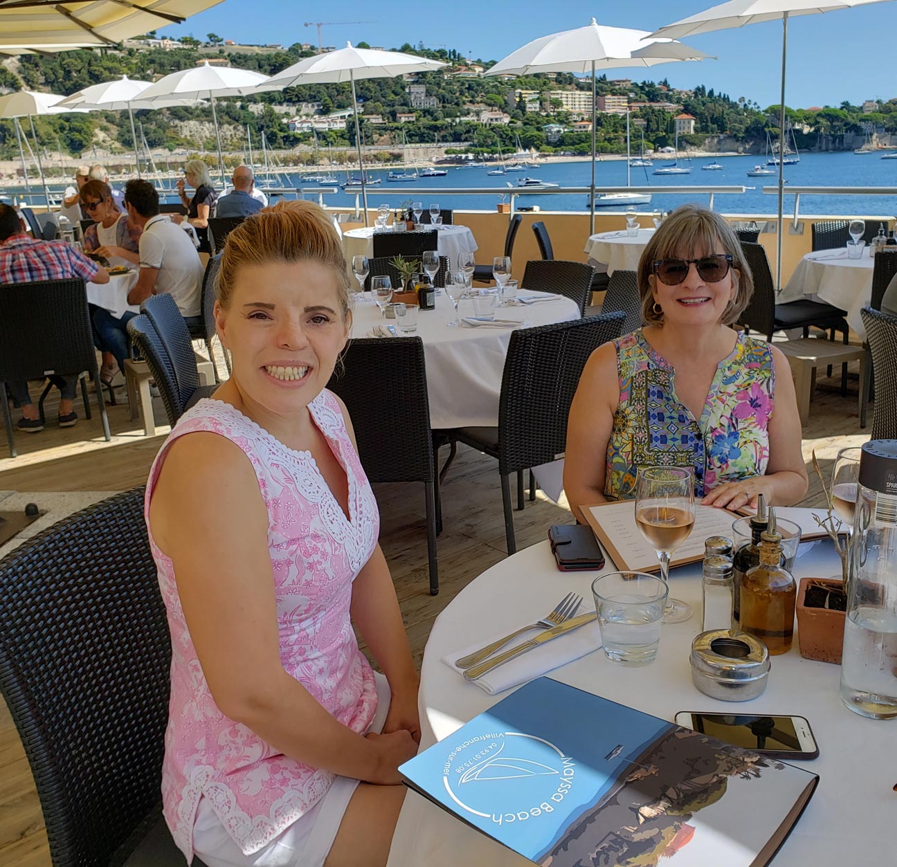
From the path you will exit via a walkway to the Avenue du Fort. Since we were thirsty and starting to get hungry, we followed our noses down and finally found the Avenue du Marechal Foch. We found a cafe there for a quick drink. Then it was off to find a restaurant. Ericka found one overlooking the water called Mayssa Beach. A good pick, great service, excellent view and good food at a reasonable price.
Mayssa Beach – Ericka and Patti
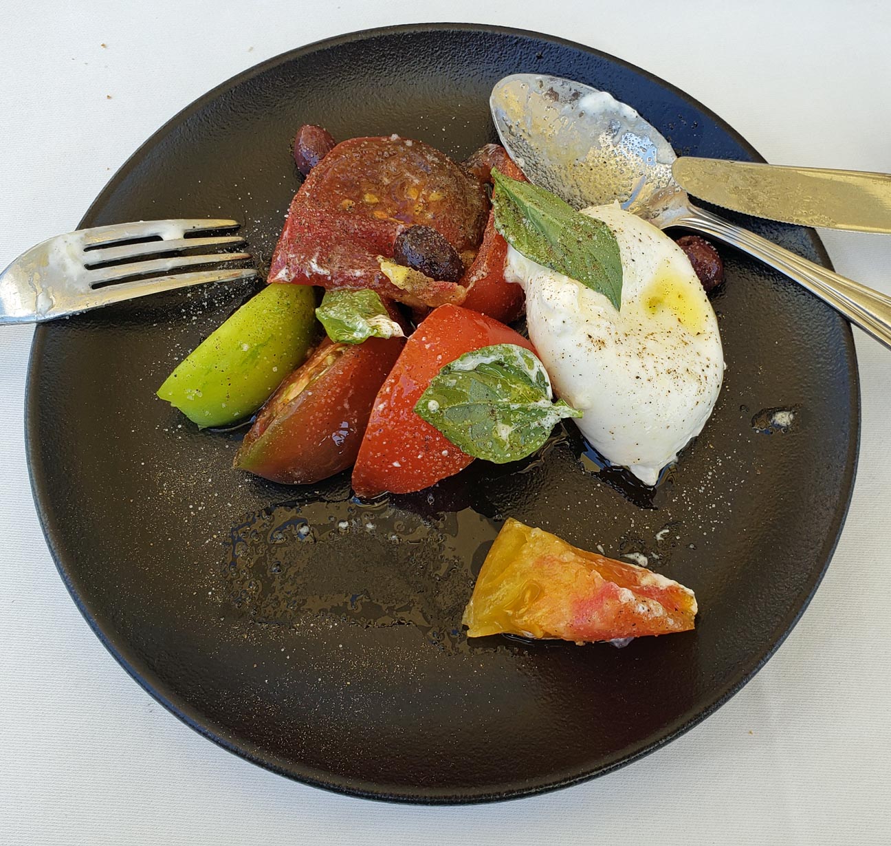
Mayssa Beach – Heirloom Tomato Caprese
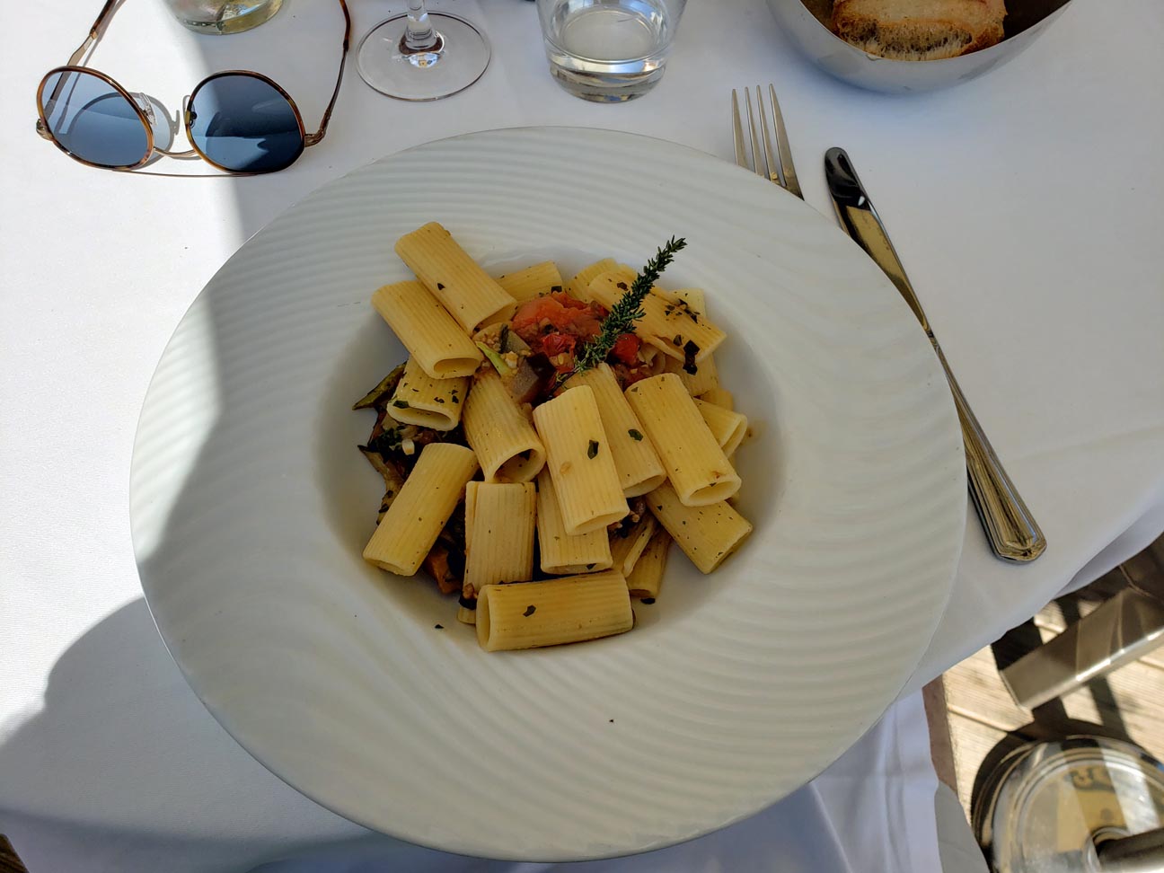
Mayssa Beach – Rigatoni Special
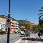
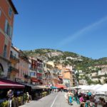
After haven eaten and relaxed a bit, we decided to walk the Quai de l’Amiral Courbet. The town is actually quite small and has very narrow streets. Enjoy the following photographs from this little gem on the coast.