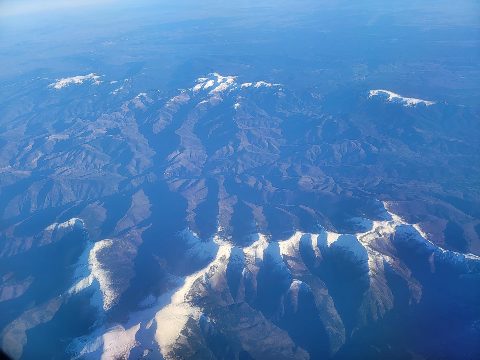
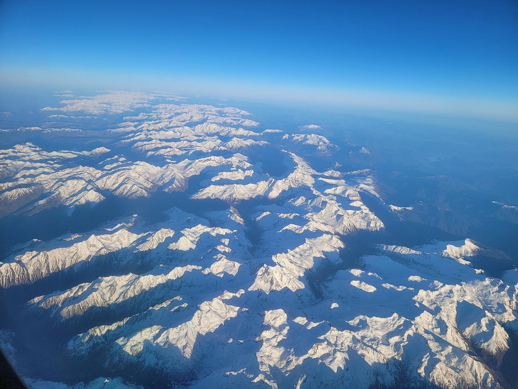
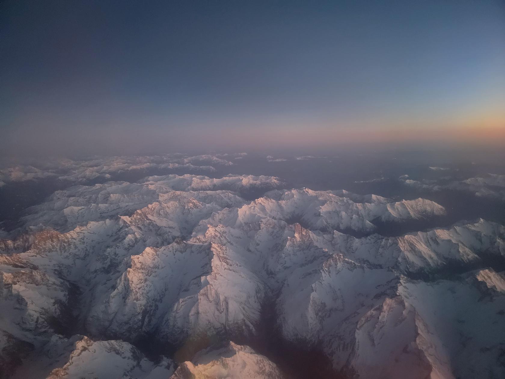
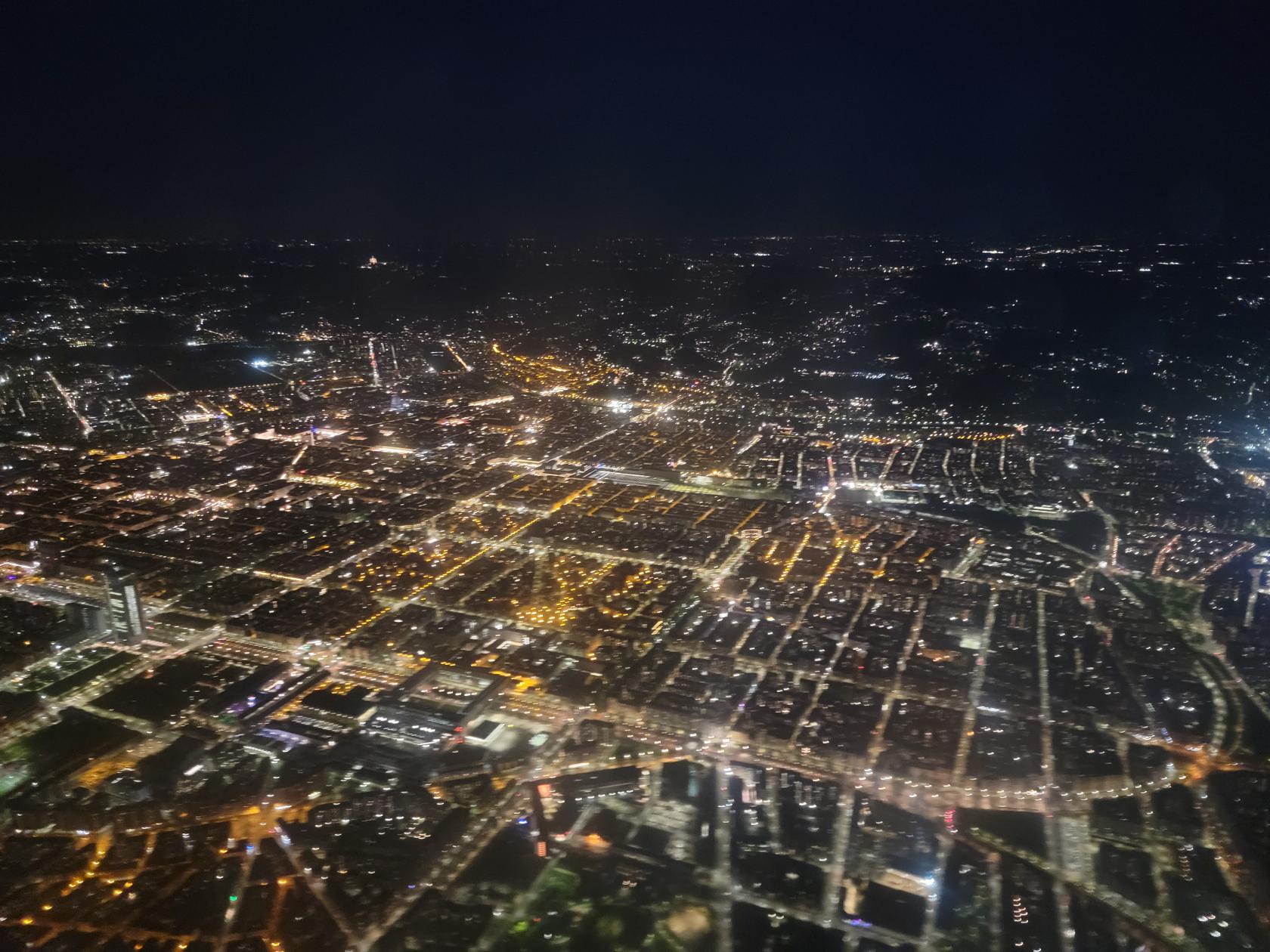
Here are some interesting views on our trip back to Turin, Italy from Porto, Portugal. Luckily, the weather was perfect on both ends of the trip so our flight was totally uneventful.
Containing a journal of our life, its journeys, experiences we've had, things we love to do and of course family…!
Here are some interesting views on our trip back to Turin, Italy from Porto, Portugal. Luckily, the weather was perfect on both ends of the trip so our flight was totally uneventful.
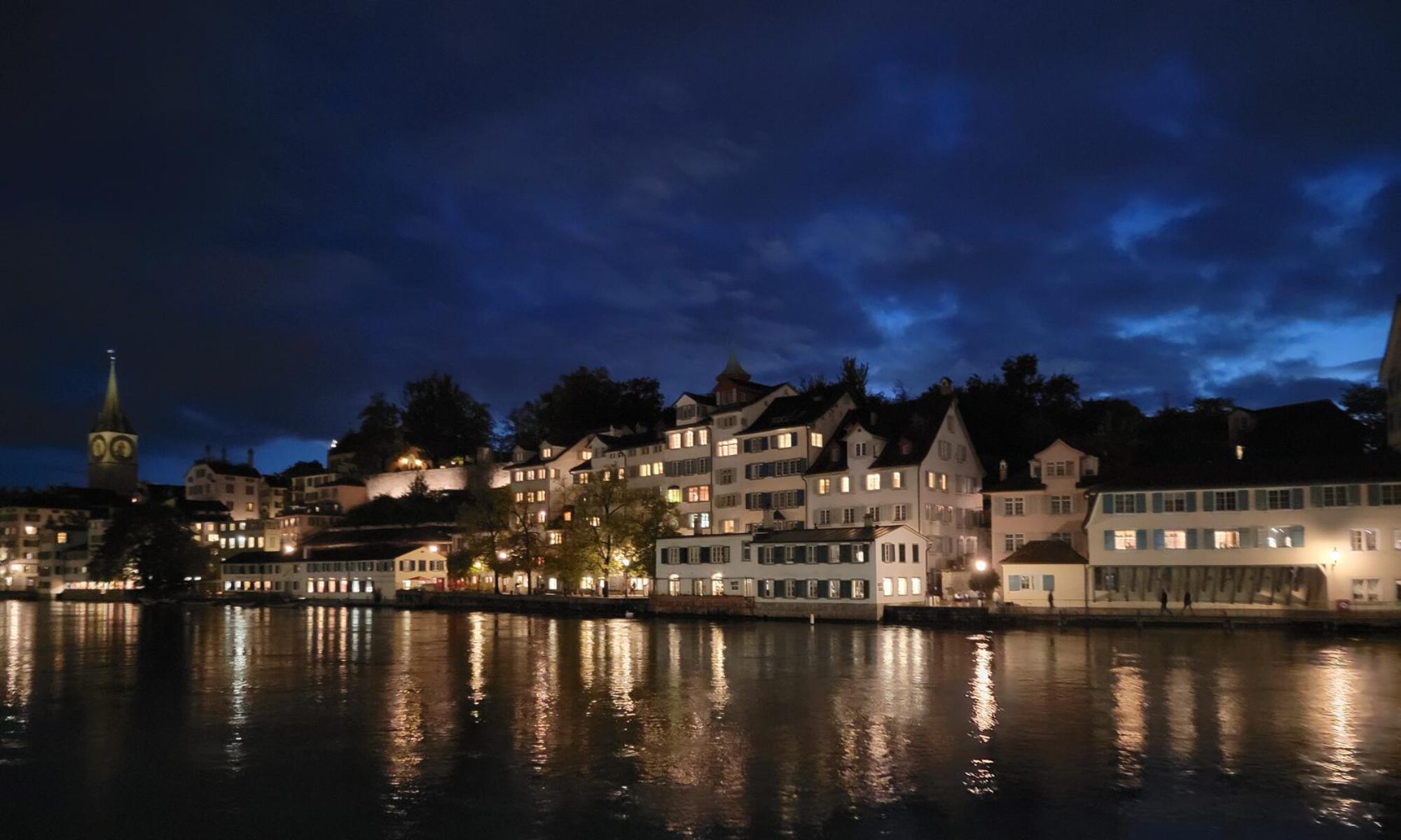
Early in the morning from our balcony the weather looked most promising, regardless of what our weather forecasting tools were trying to tell us. It appeared we had finally came into some good weather on this trip after all. When we started it, it didn’t look as promising…
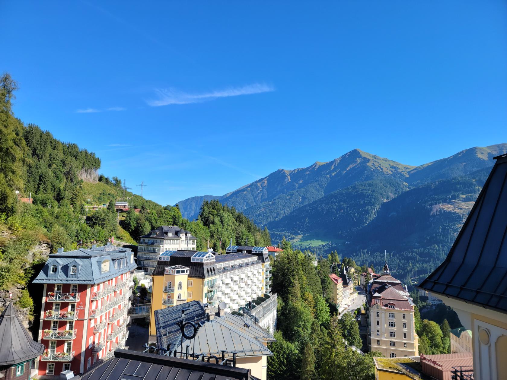
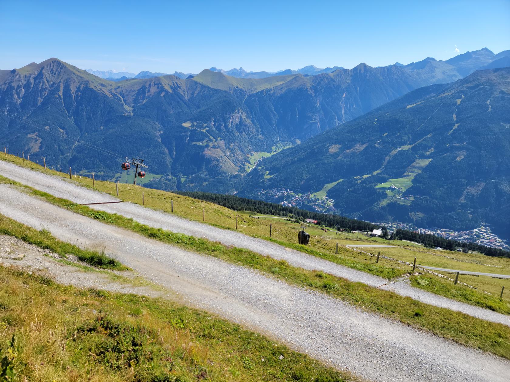
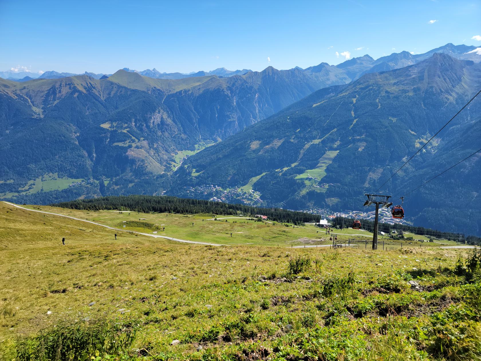
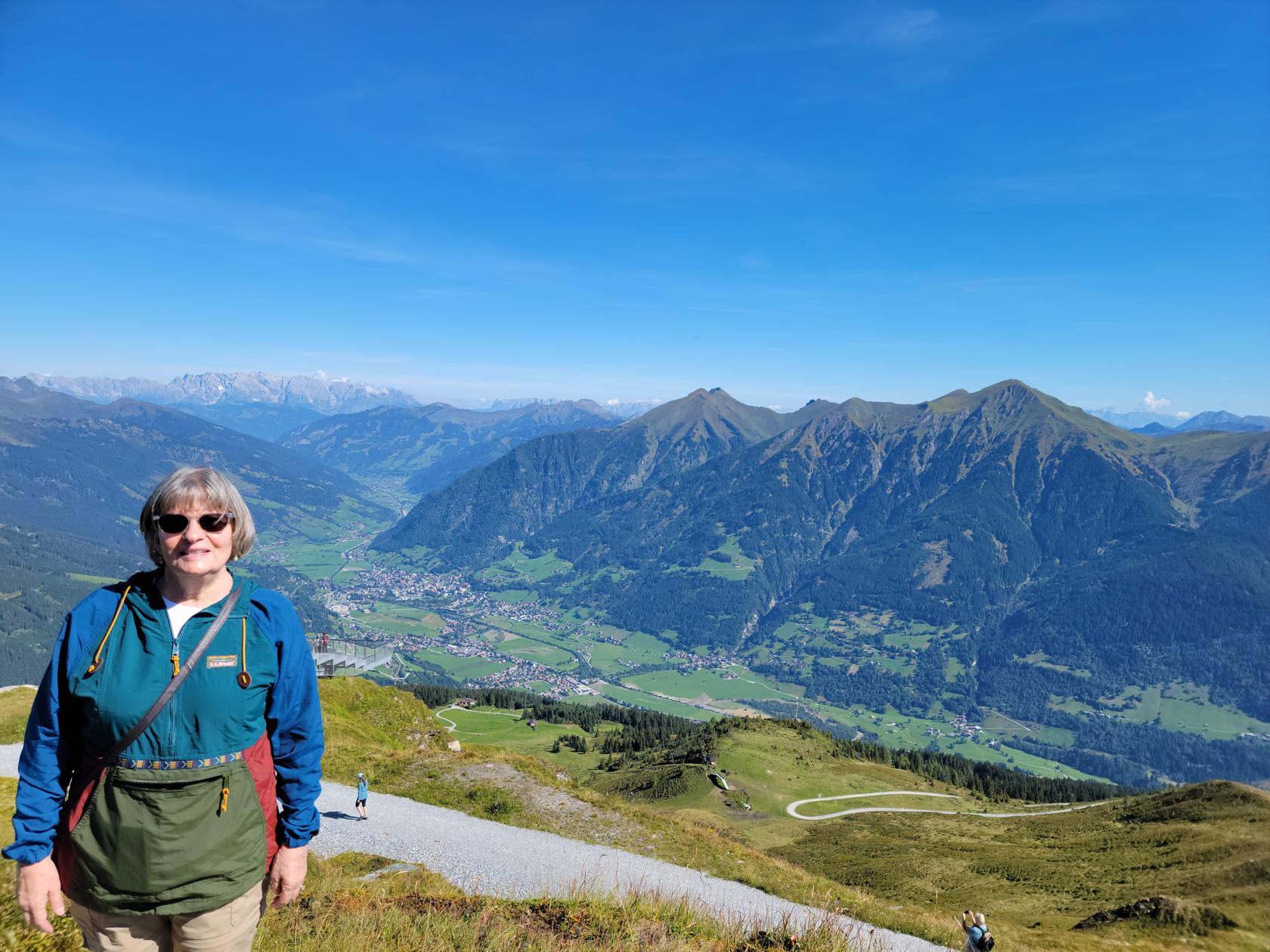
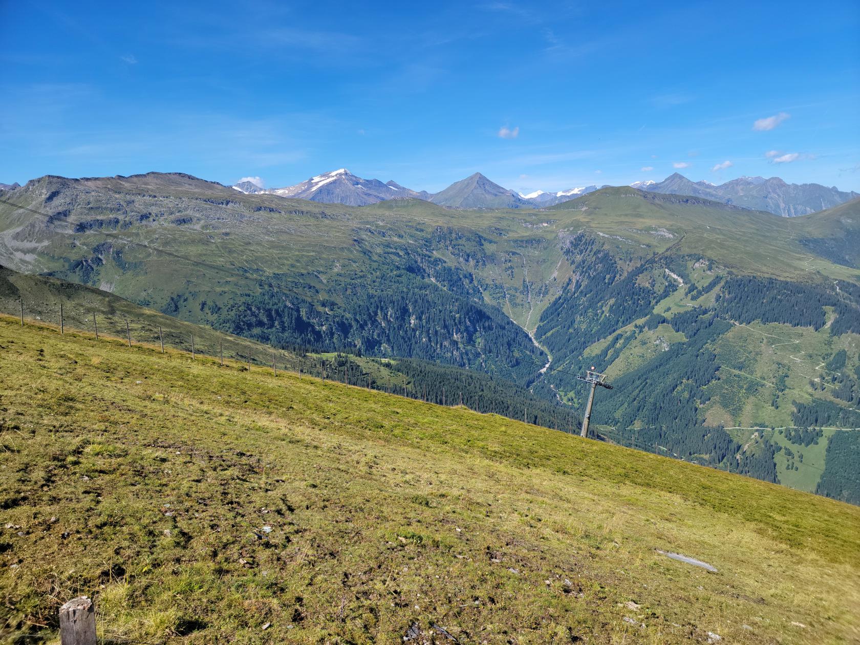
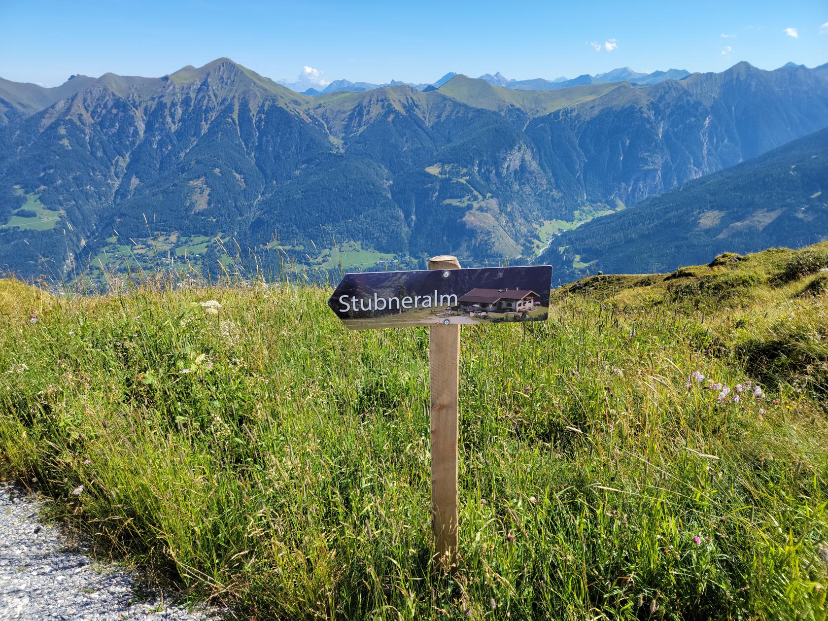
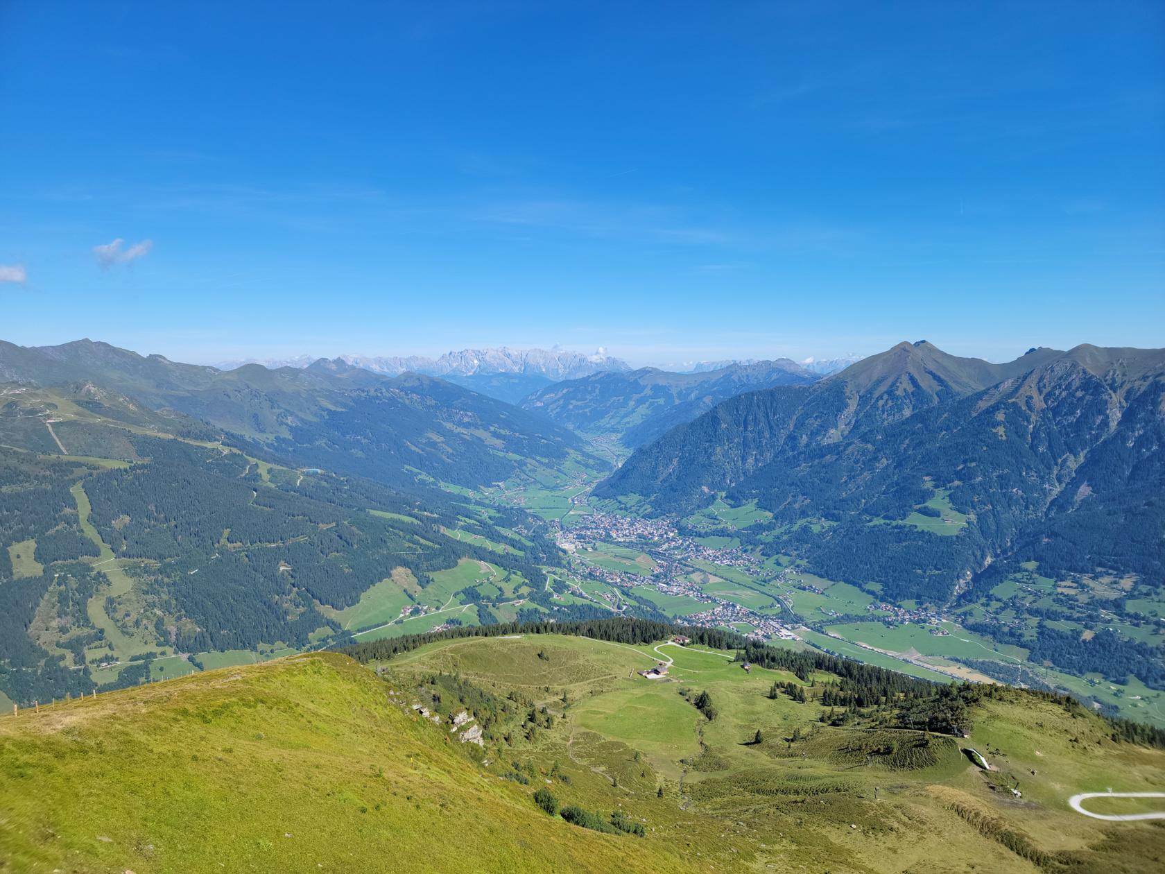
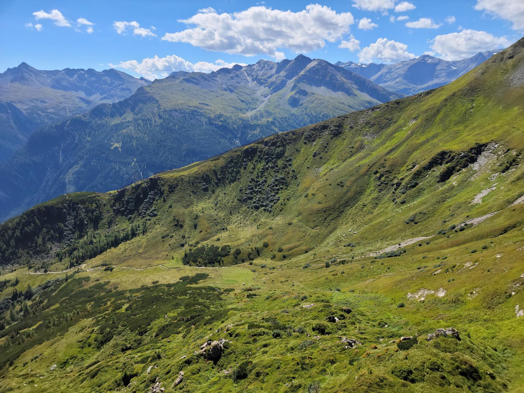
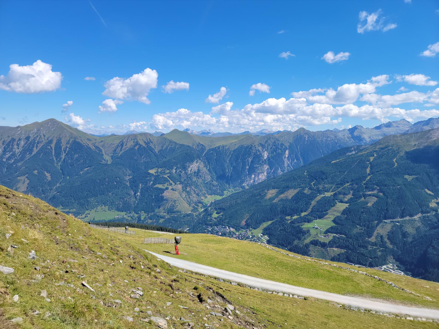
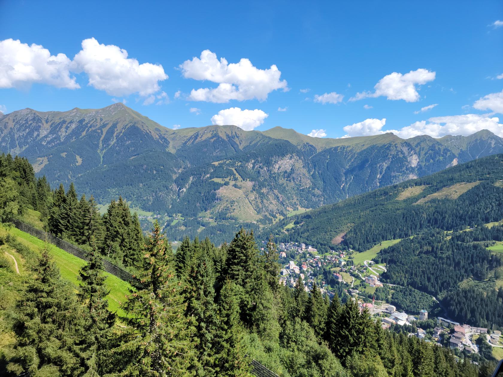
Flanking Bad Gastein on either side are some fairly tall mountains, which may be ascended using a gondola ski lift. During the summer months, weekend trekkers from all over come for a breath of healthy air and what appears to be a heightened exercise regime.
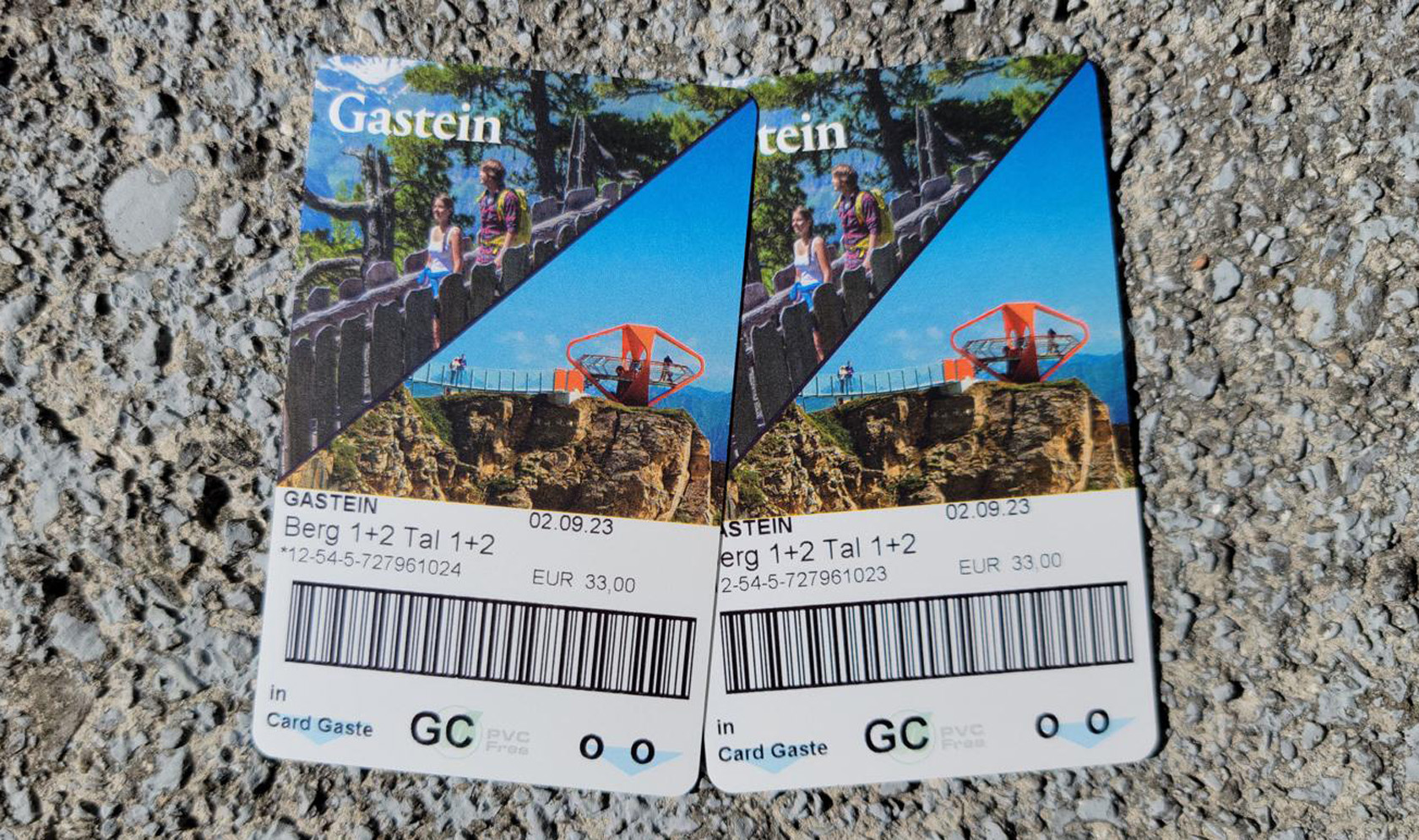
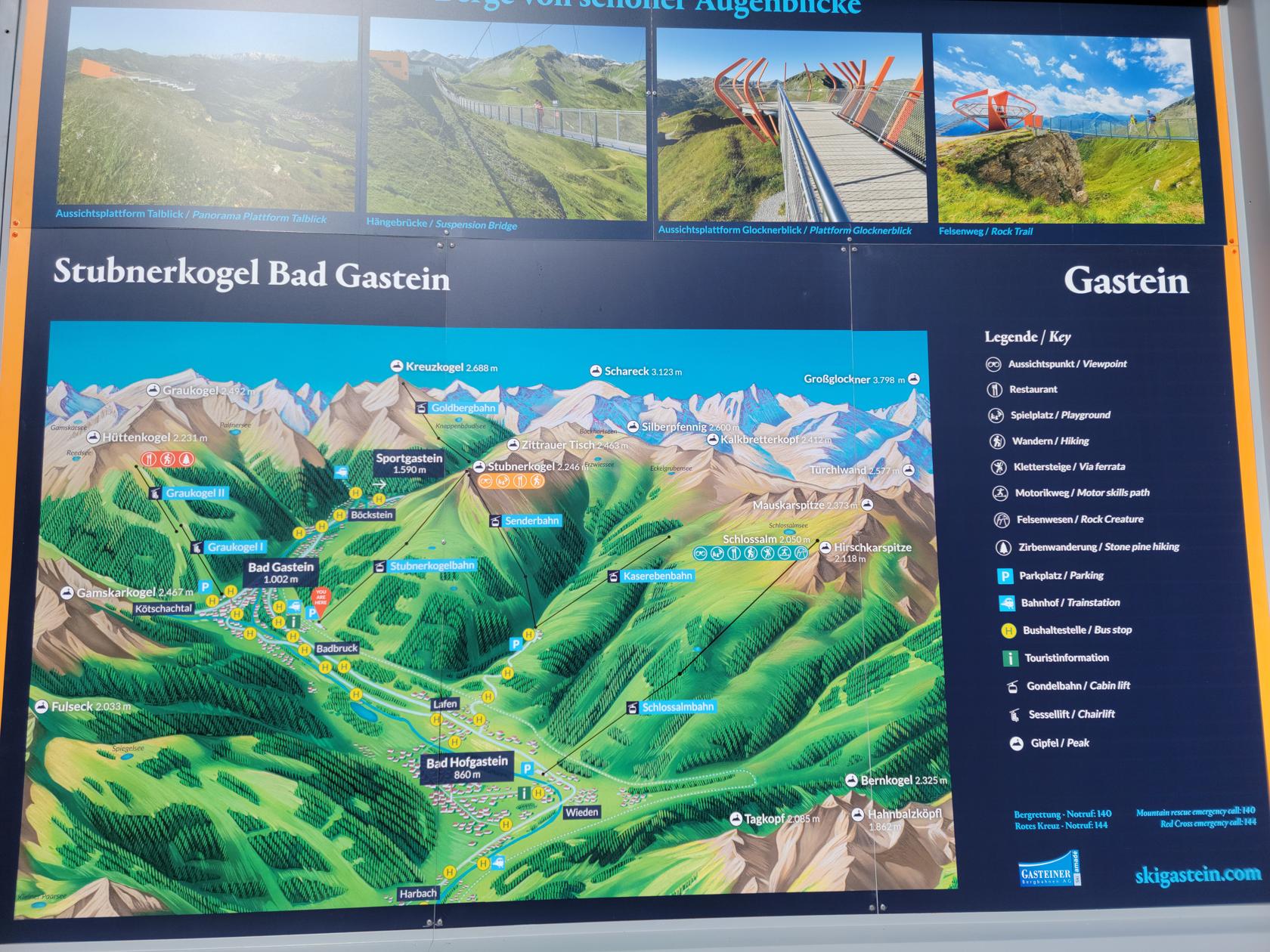
The cost for a day trip is 33€/person at the window, though I do believe you can save a few Euros, if you purchase your tickets online.
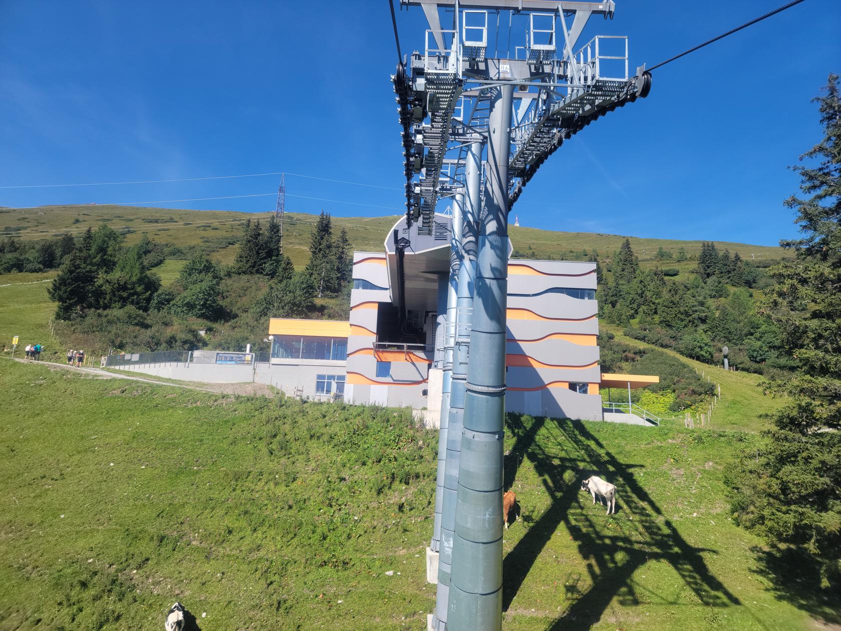
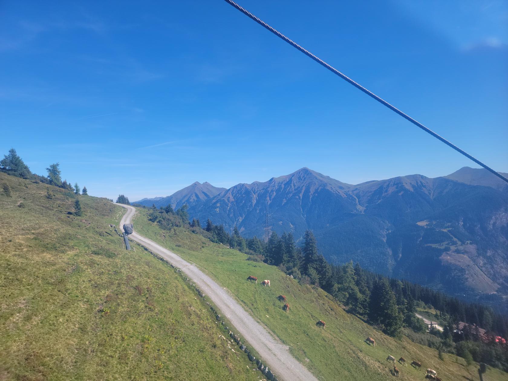
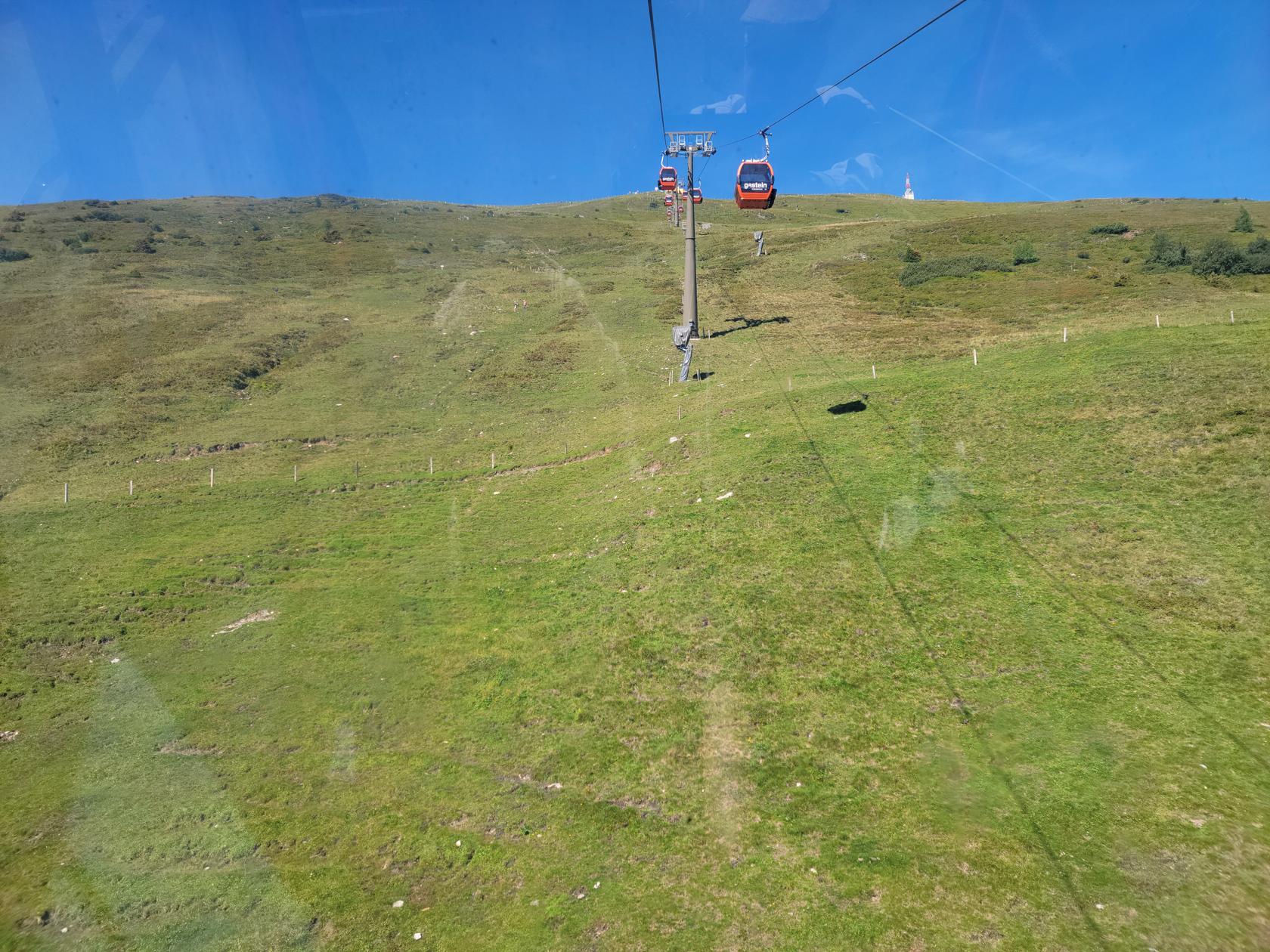
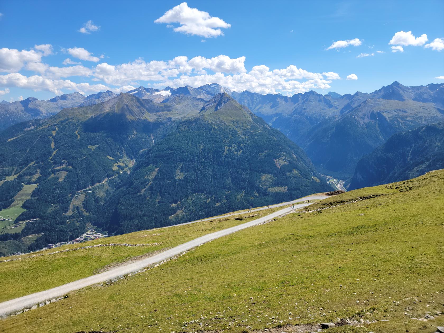
The cable car ride is straightforward, as any skier will tell you. Fortunately, during this time of year it is not very busy, so you will usually get a car all by yourself.
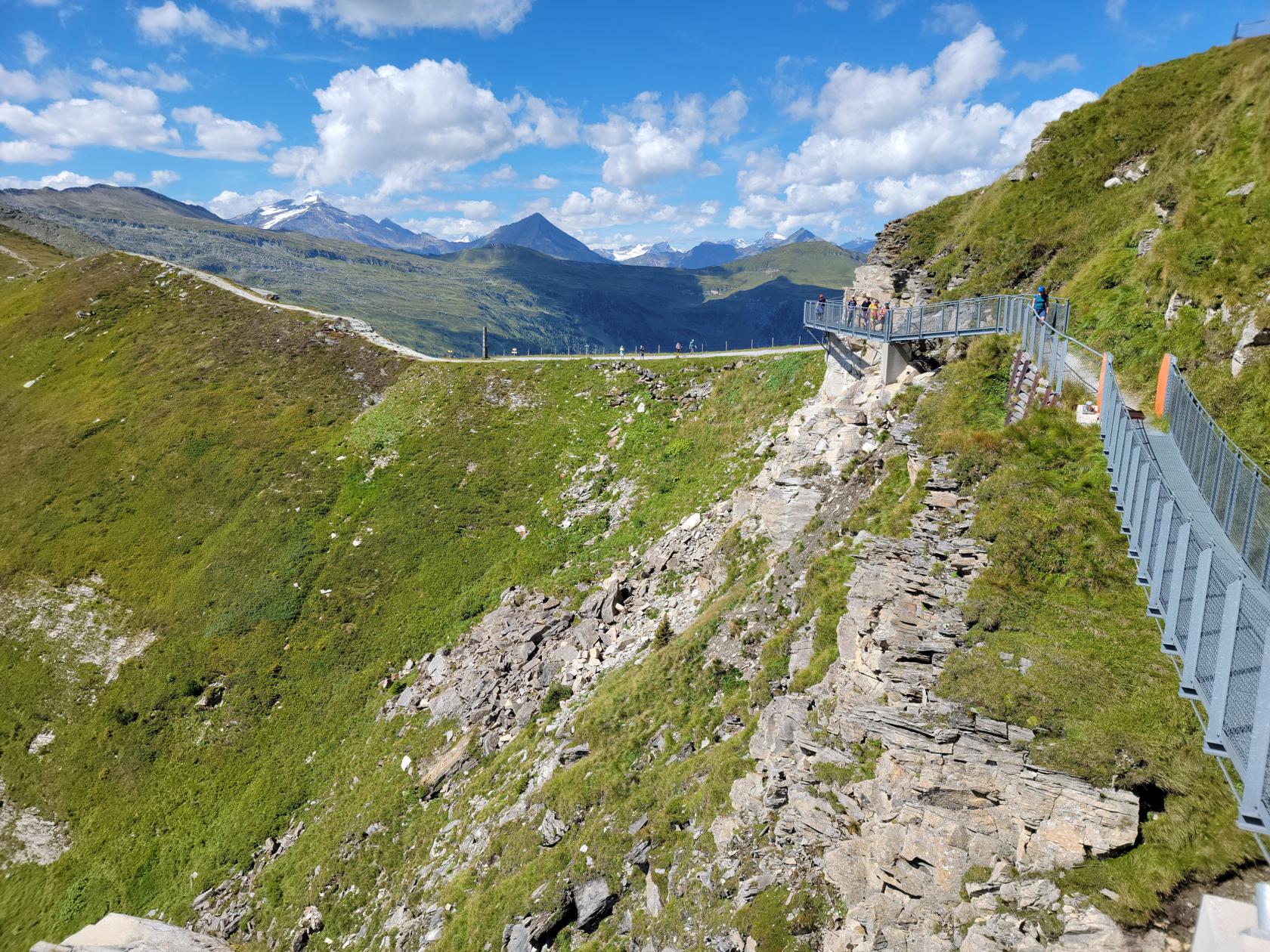
The ascent is rather quick, considering the distance up the mountain. The first part is rather steep and there is a midway station, so stay on, if you want to go directly to the top.
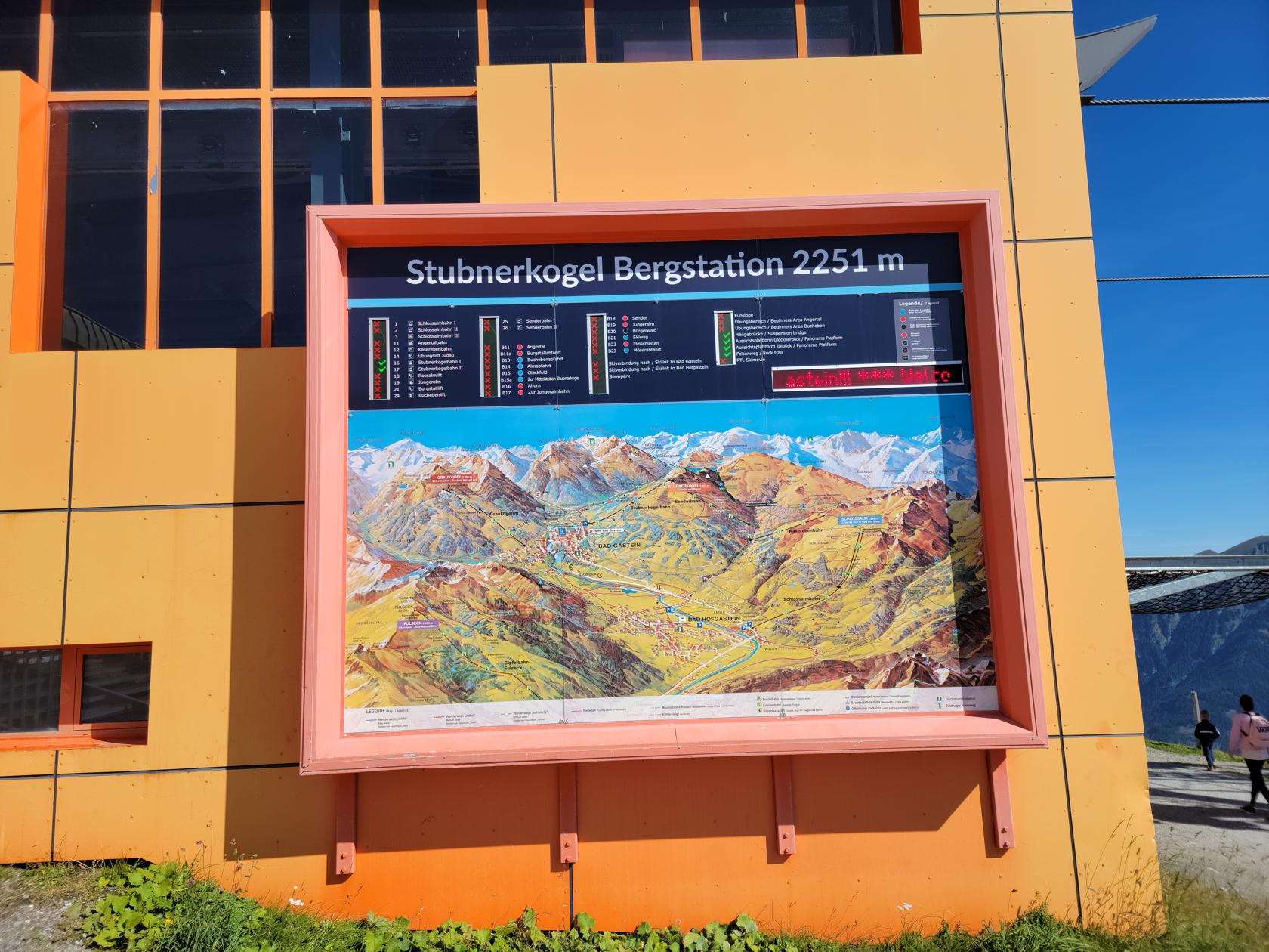
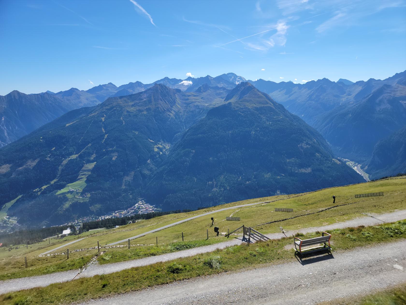
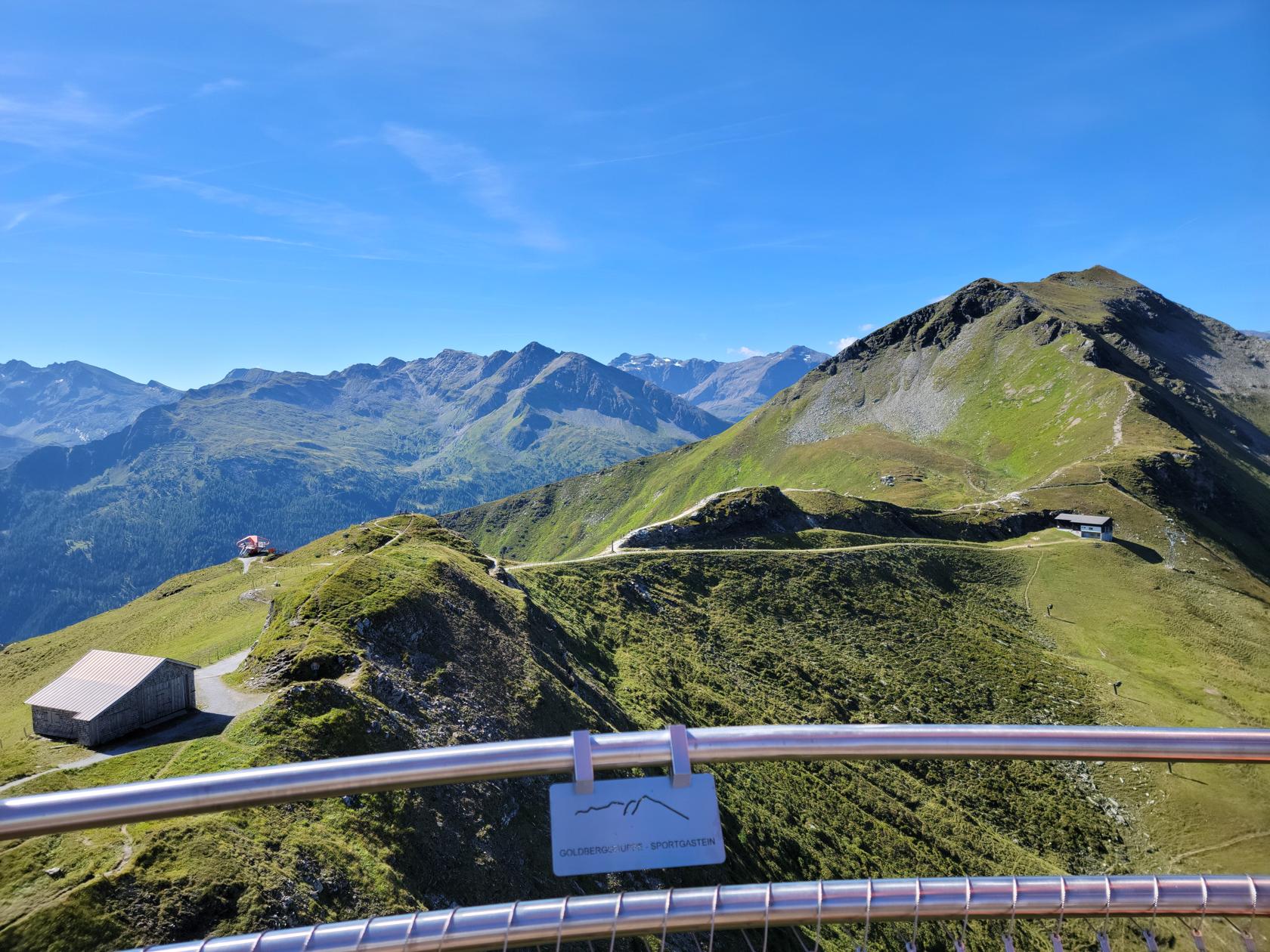
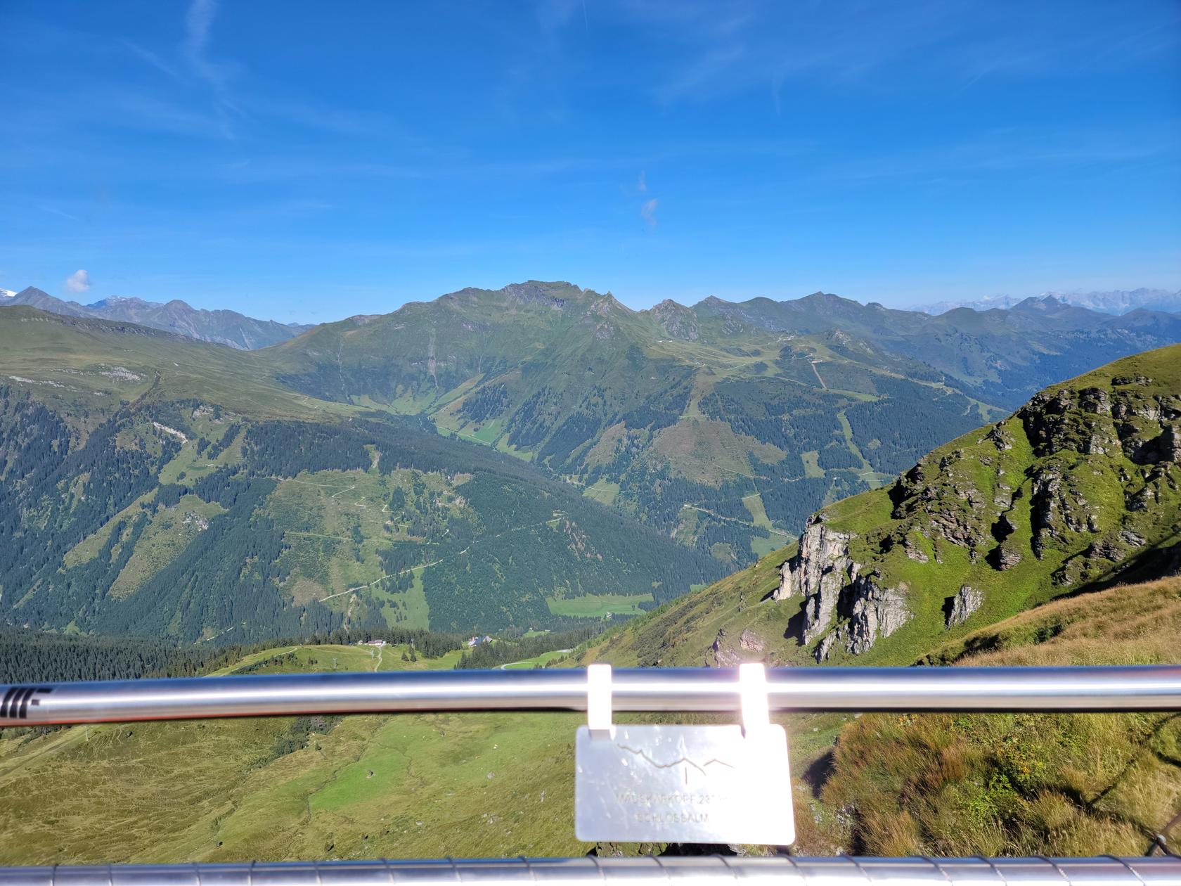
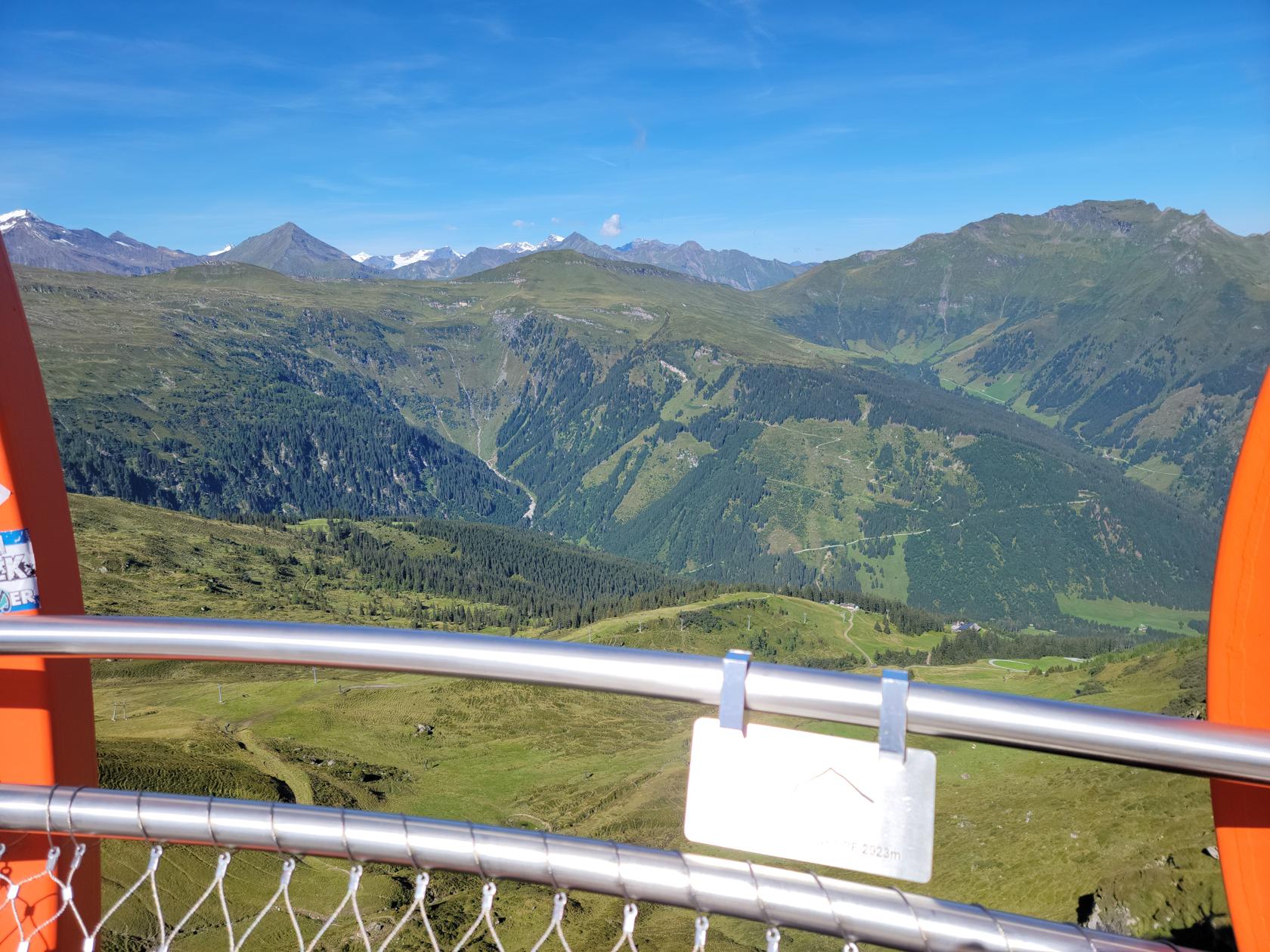
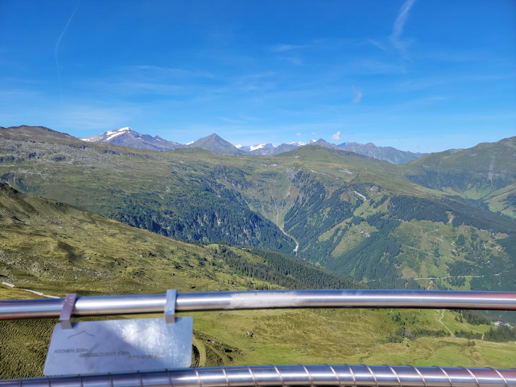
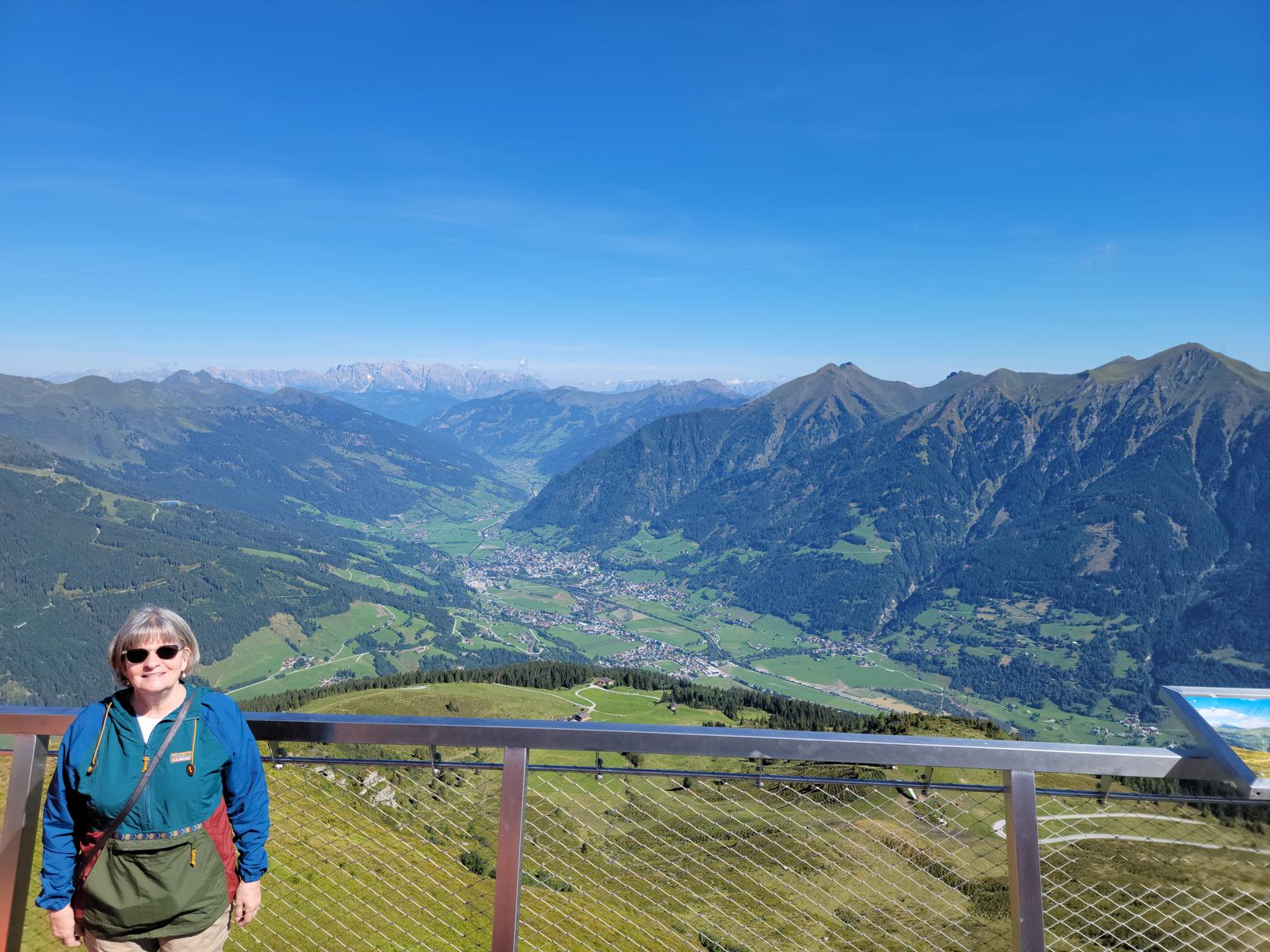
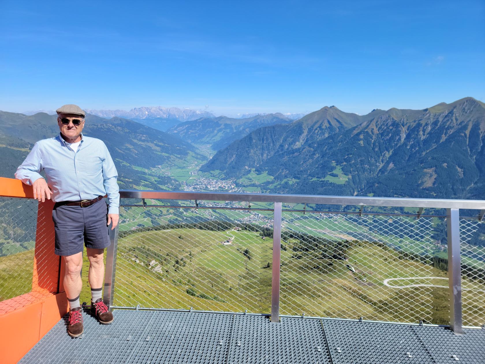
The Stubnerkogel is part of the Goldberg Group or mountain range and sits on one side of the Gastein Valley, while the Ankogel Group sits on the other side.
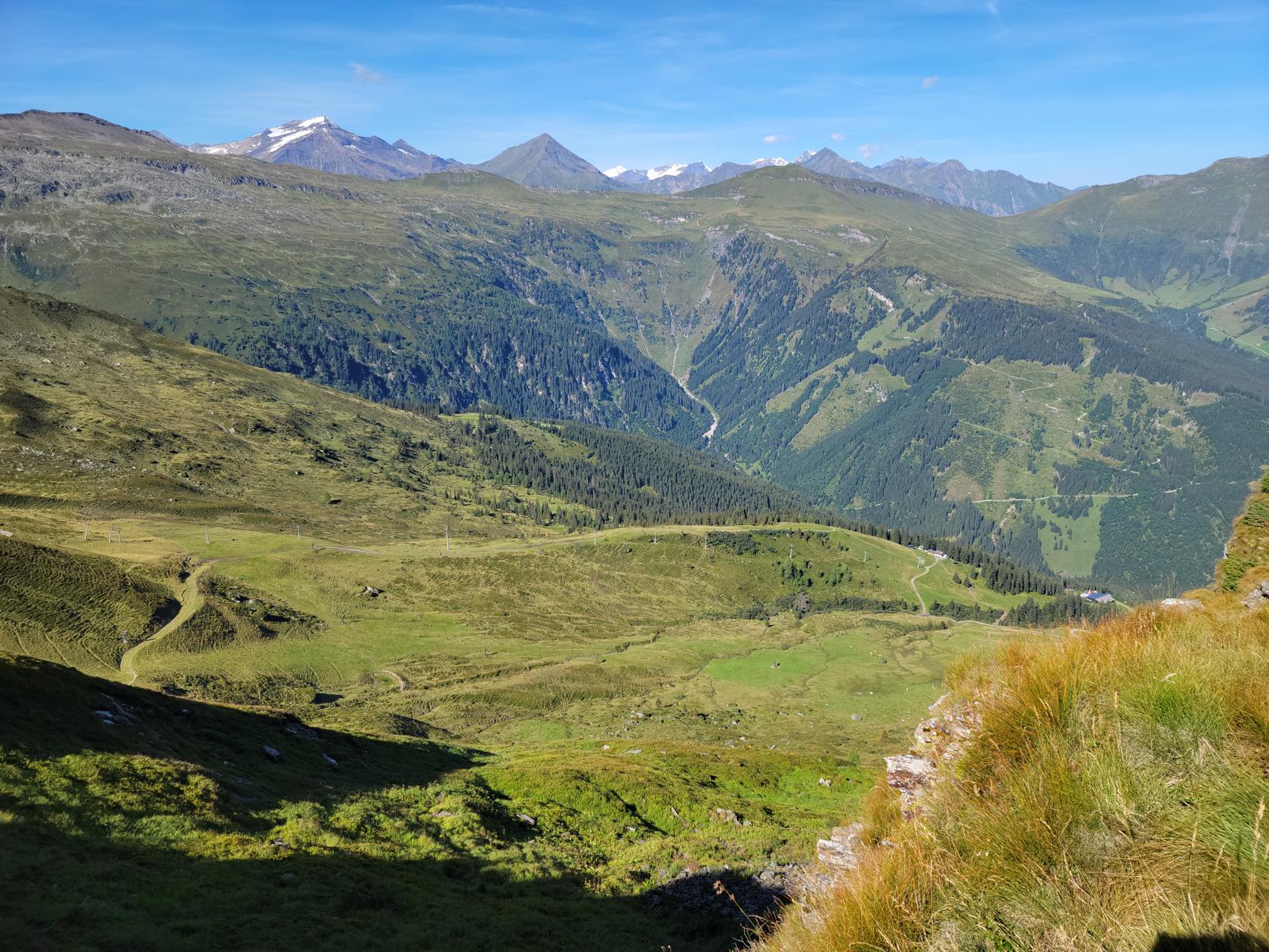
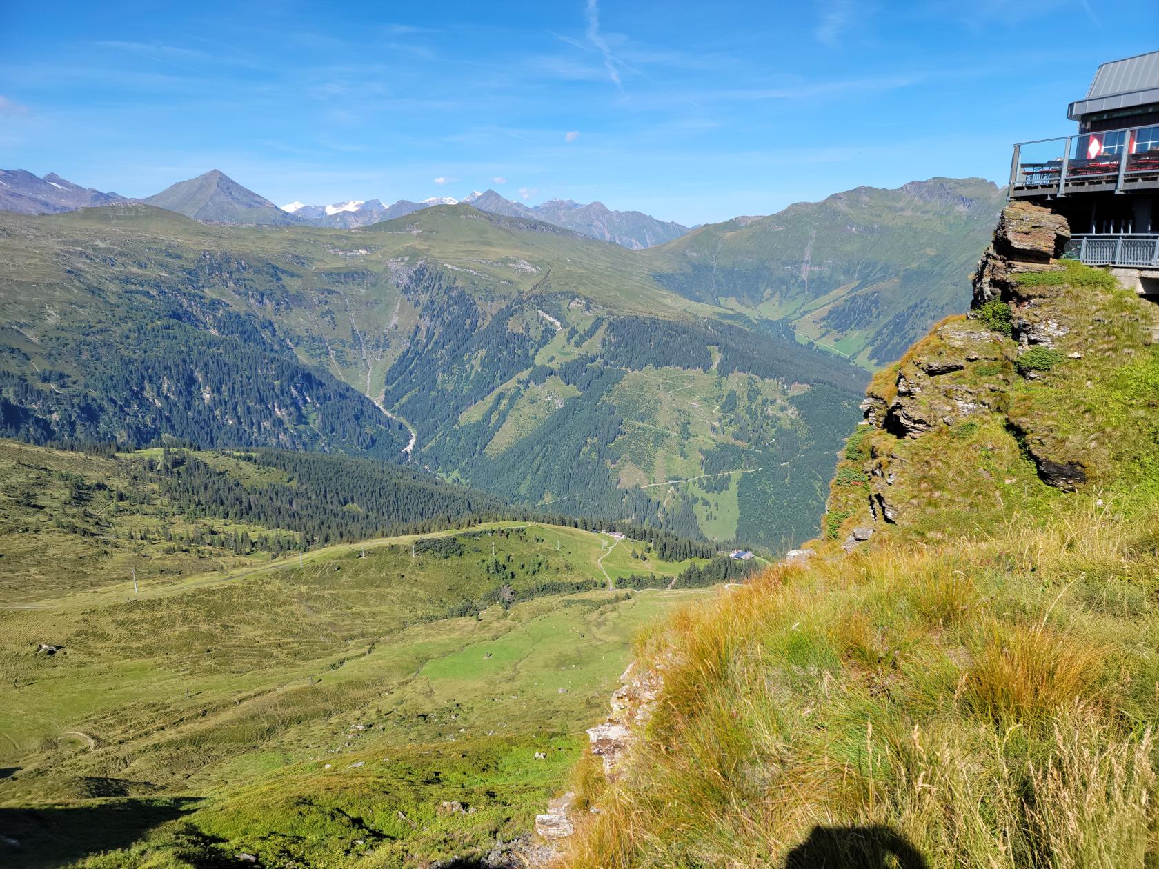
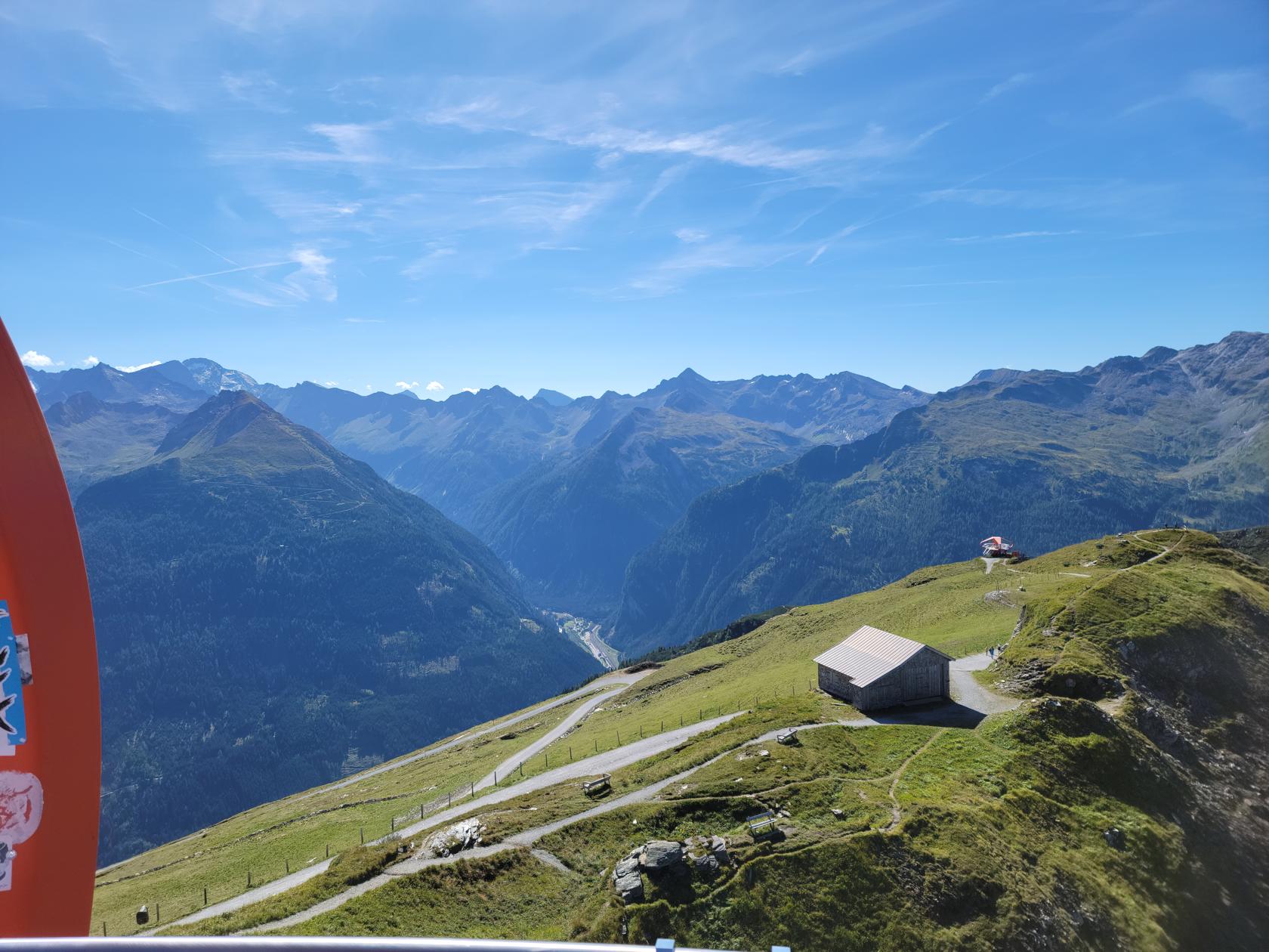
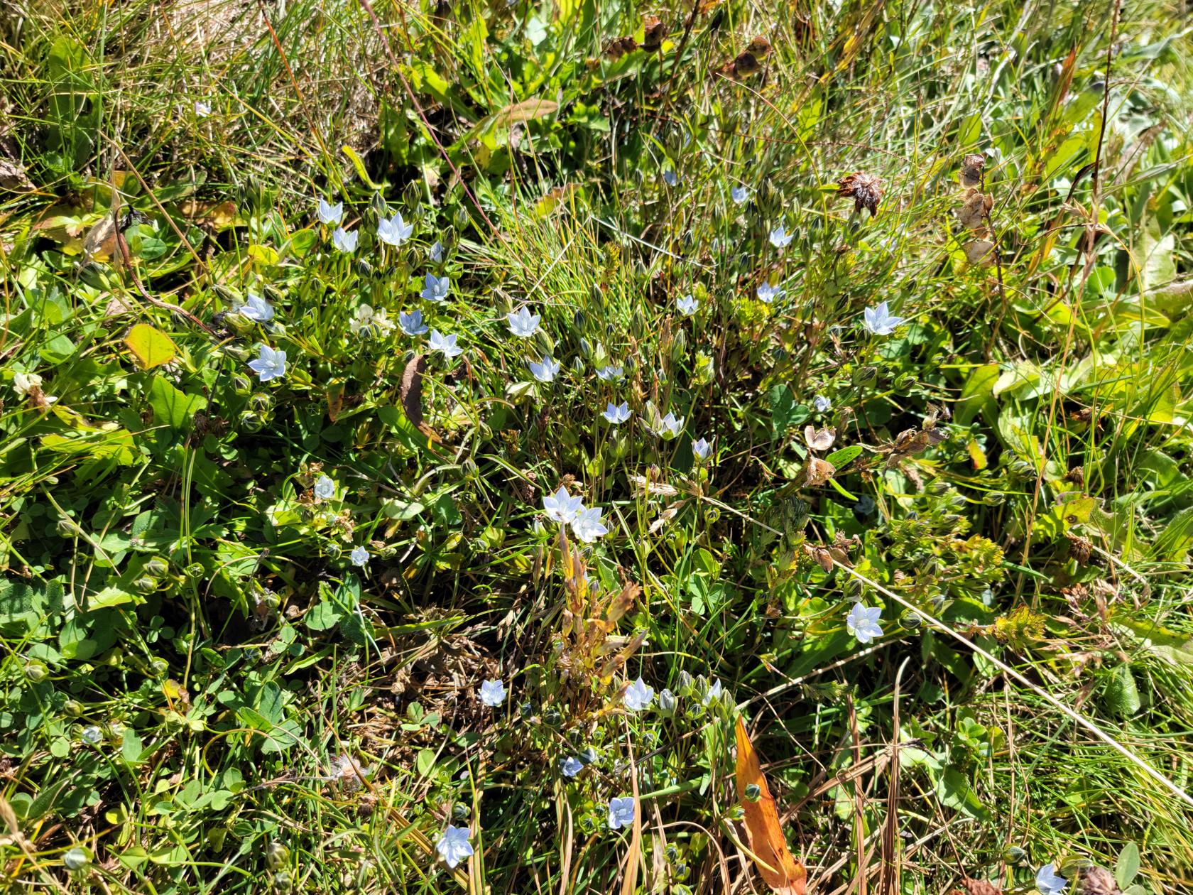
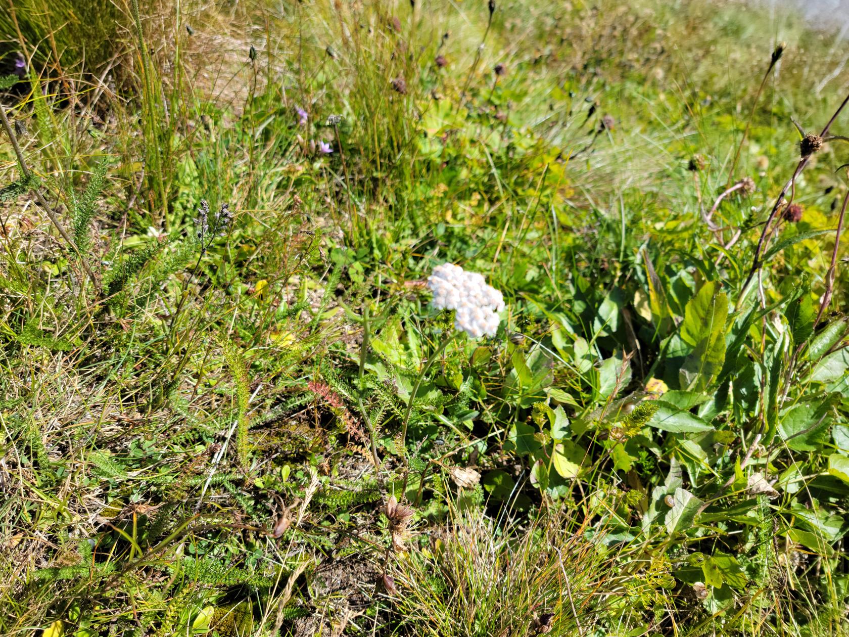
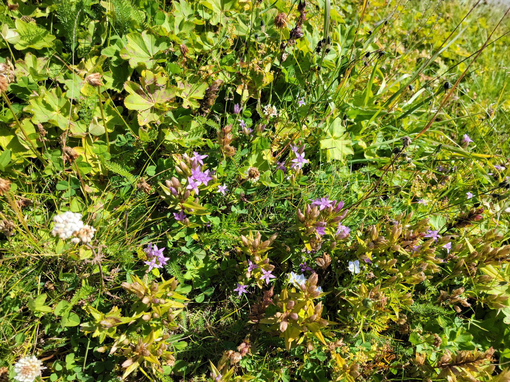
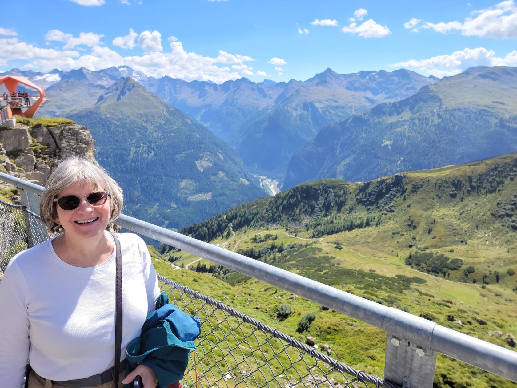
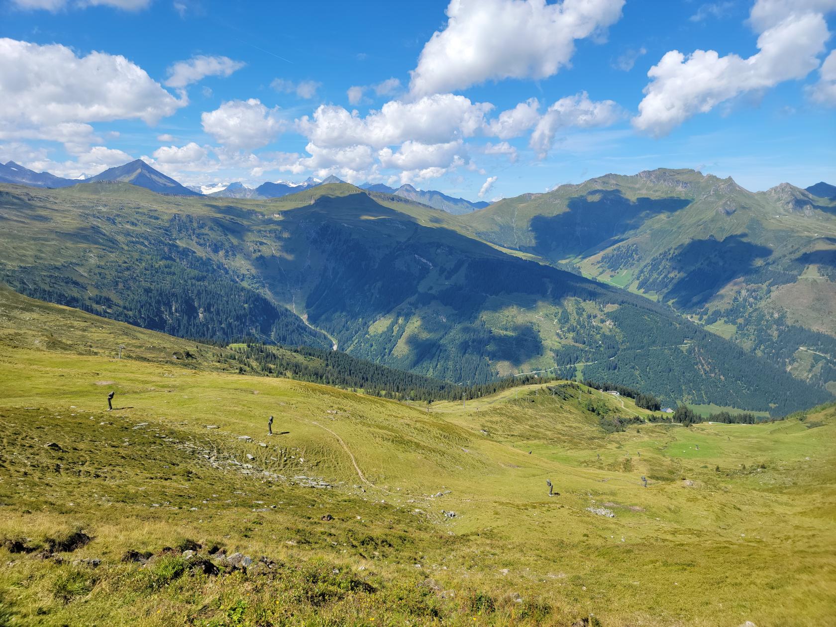
On the summit the views are spectacular. The air is bracing and it is typically a bit windy up there, so bring something extra to wear. Even with the sun, we were taking things off and putting them back on, depending on whether we were walking, sitting in the shade, or sunning ourselves on the restaurant veranda enjoying a drink.
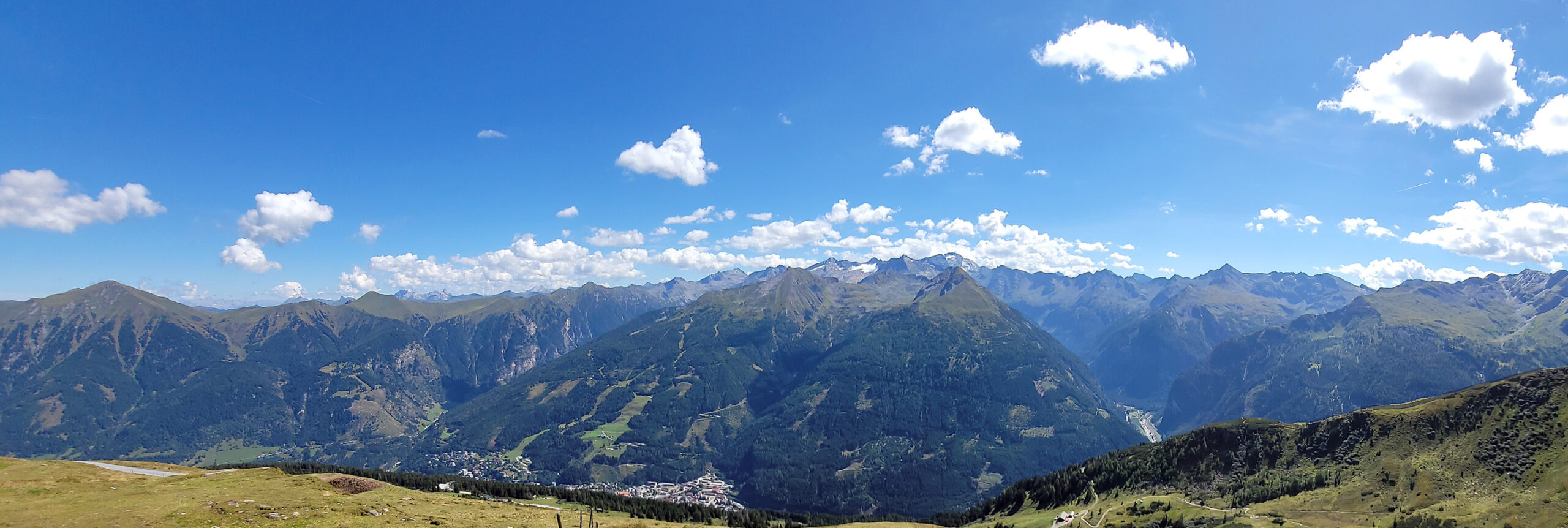
I won’t bore you too much with details, just watch the following slideshow to enjoy our experience. It was most walking around and just enjoying the fresh air and surrounding views.

Though we enjoyed the area, we were frankly a bit disappointed with the lack of town amenities. There appears to be a lack of restaurants, and those that do exist, seem to offer the same fare at a similar price. So looking for something different to experience will be a bit of a culinary adventure.
I have already mentioned that the town’s central thermal spa has been closed, so that is itself a big negative. However, the trails and sights are great and there are plenty of places to visit and stay busy. I am not sure I would recommend deviating your plans to stop here, but if you are headed to or from Salzburg and through Villach, Austria on your train route, you may want to stop for a day or two. I would not commend more than four days, you will run out of food options by that time.
For us, the Salzburger Hof hotel appeared to be a good choice, we had an excellent room and the service was first rate. Though they did miss our need for extra coffee dairy and other supplies, the room was kept extremely neat and we always had plenty of towels and other accessories.
Tomorrow it is off to Linz, Austria via Salzburg. There we will spend a few days and eventually meet up with our daughter and son-in-law, Ericka and Gabi. So the next week or so will be a busy travel week for us.
Until next time, Tschüß aus Bad Gastein!
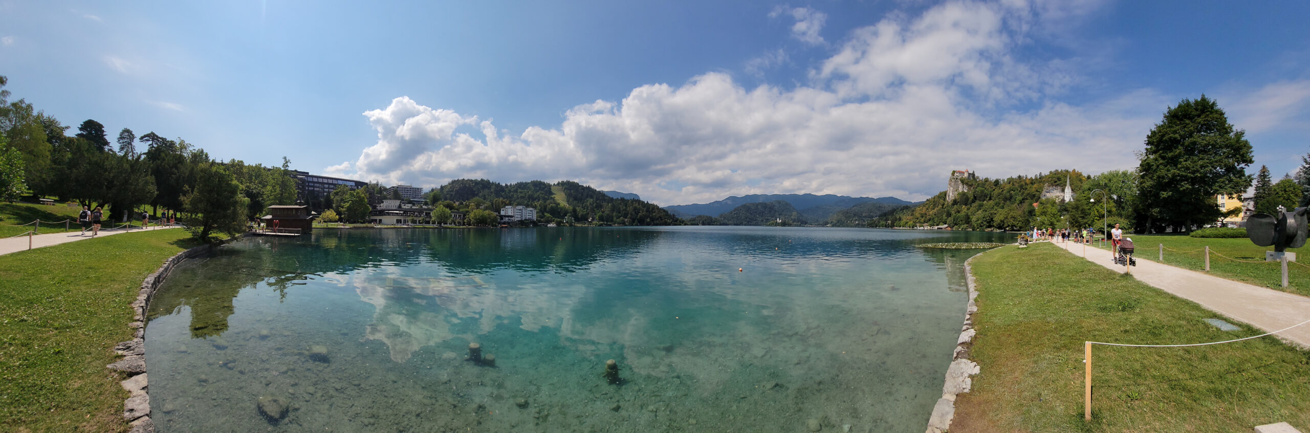
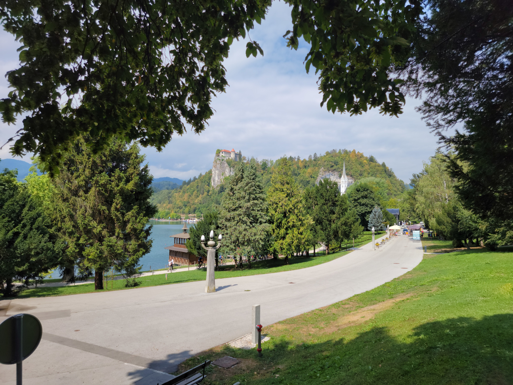
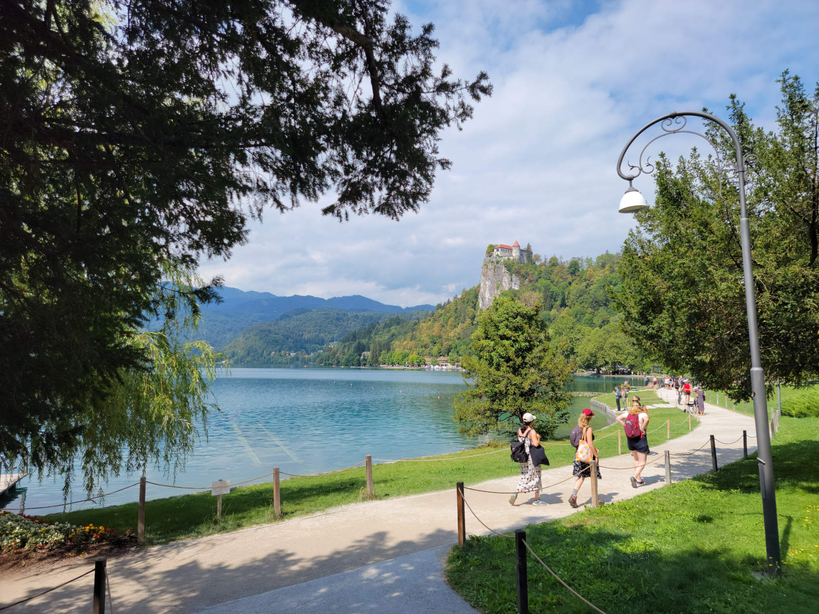
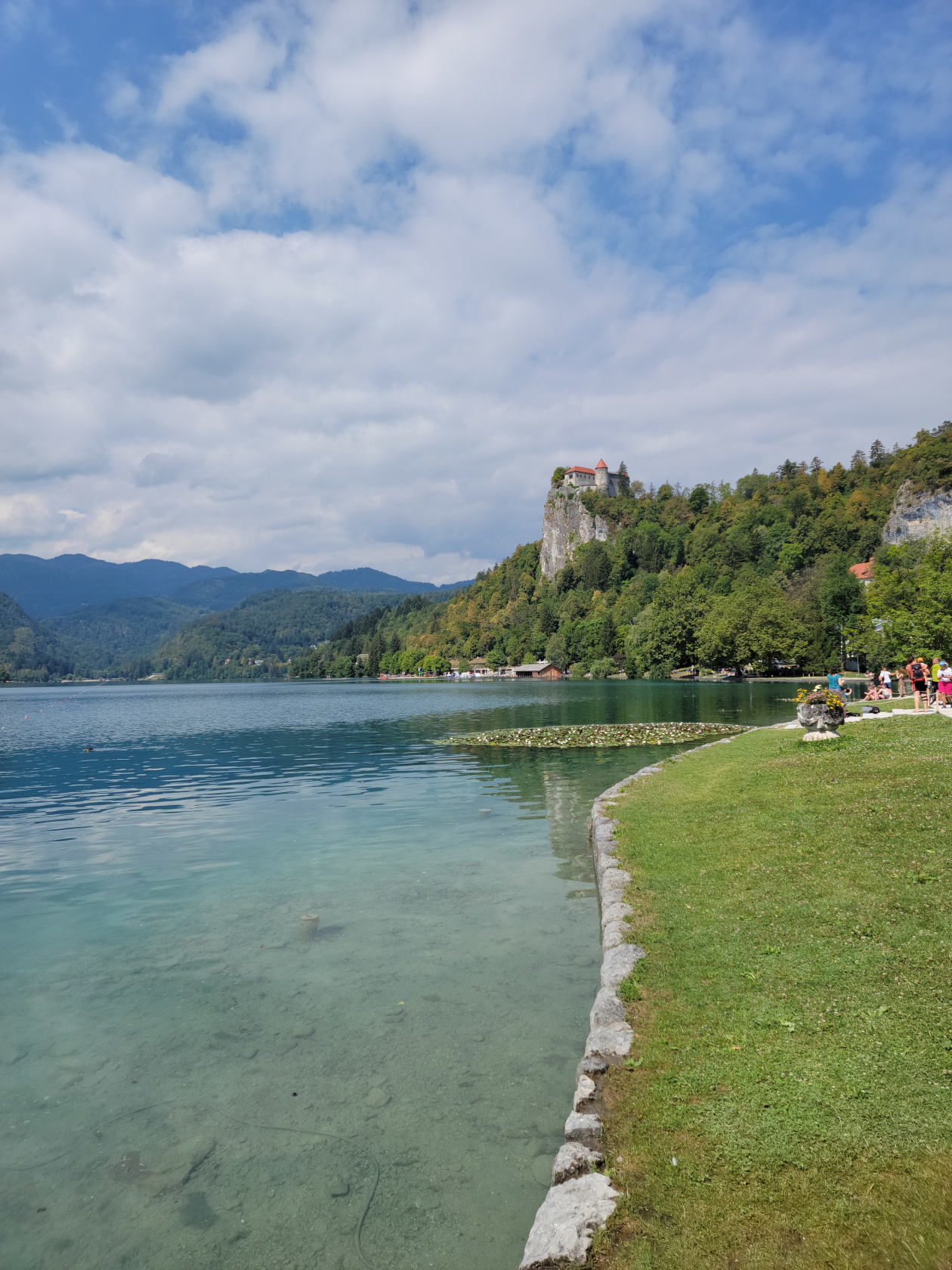
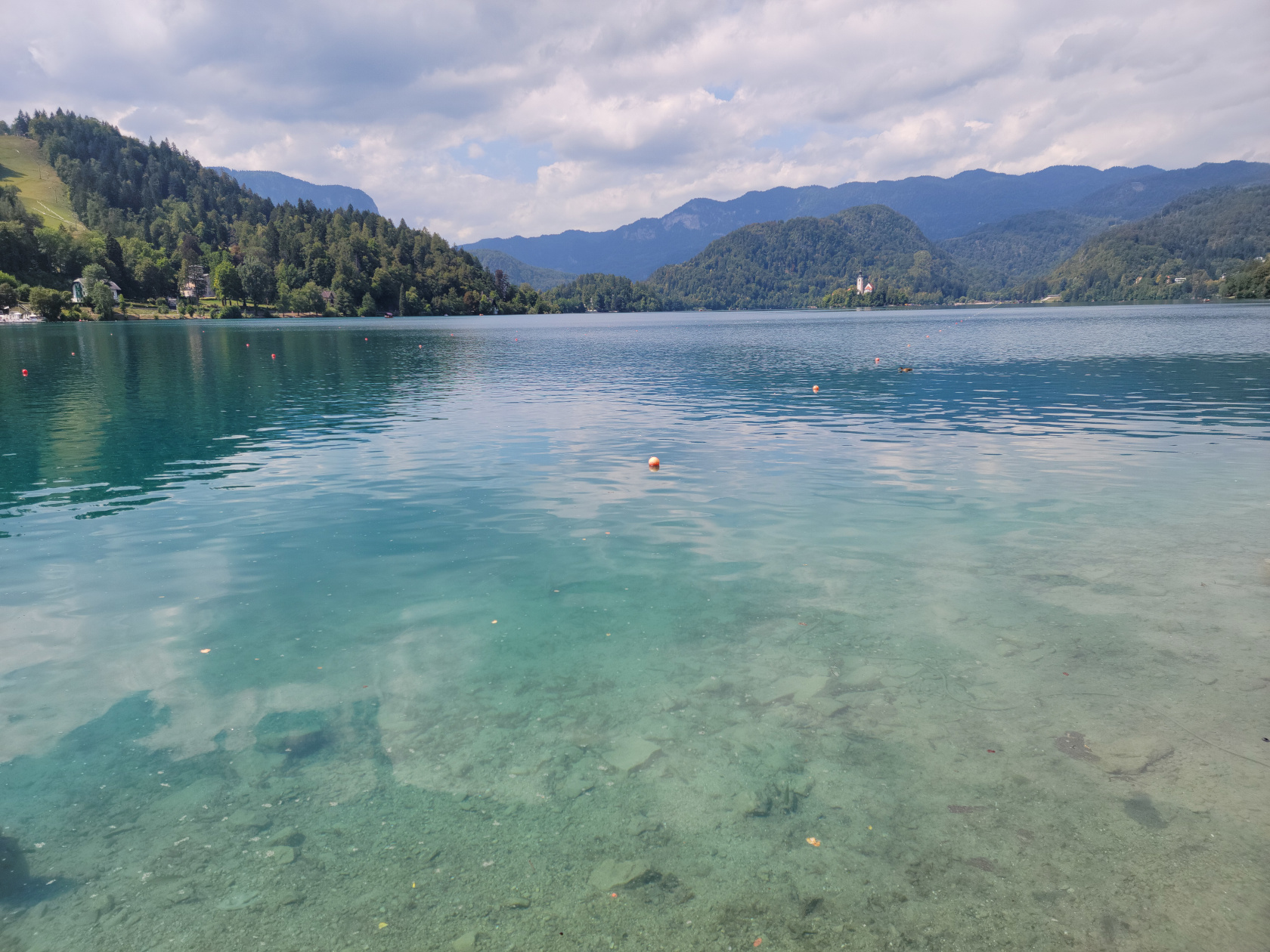
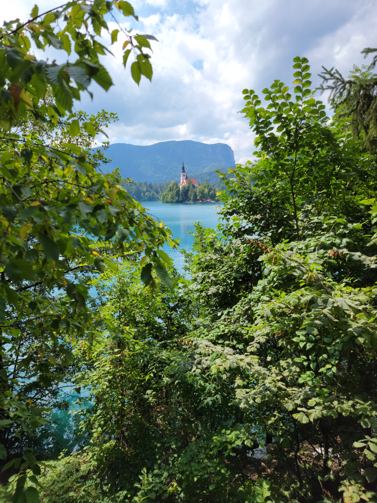
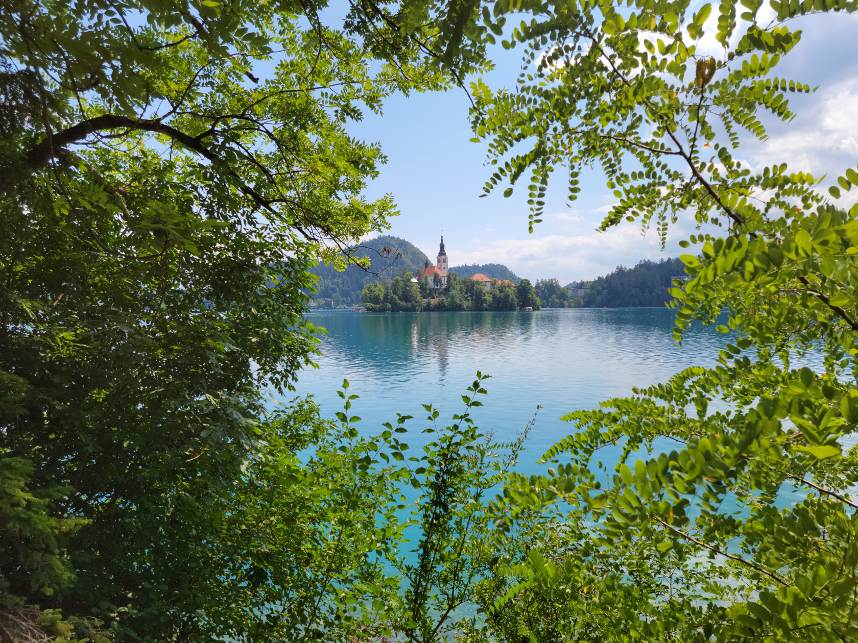
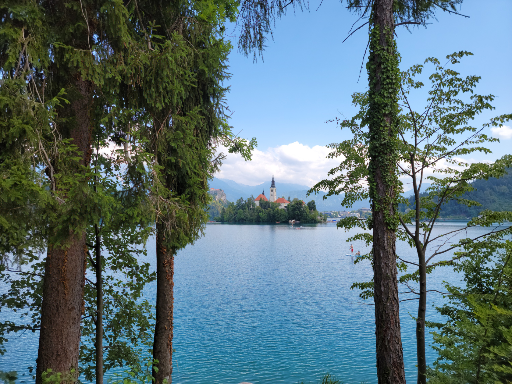
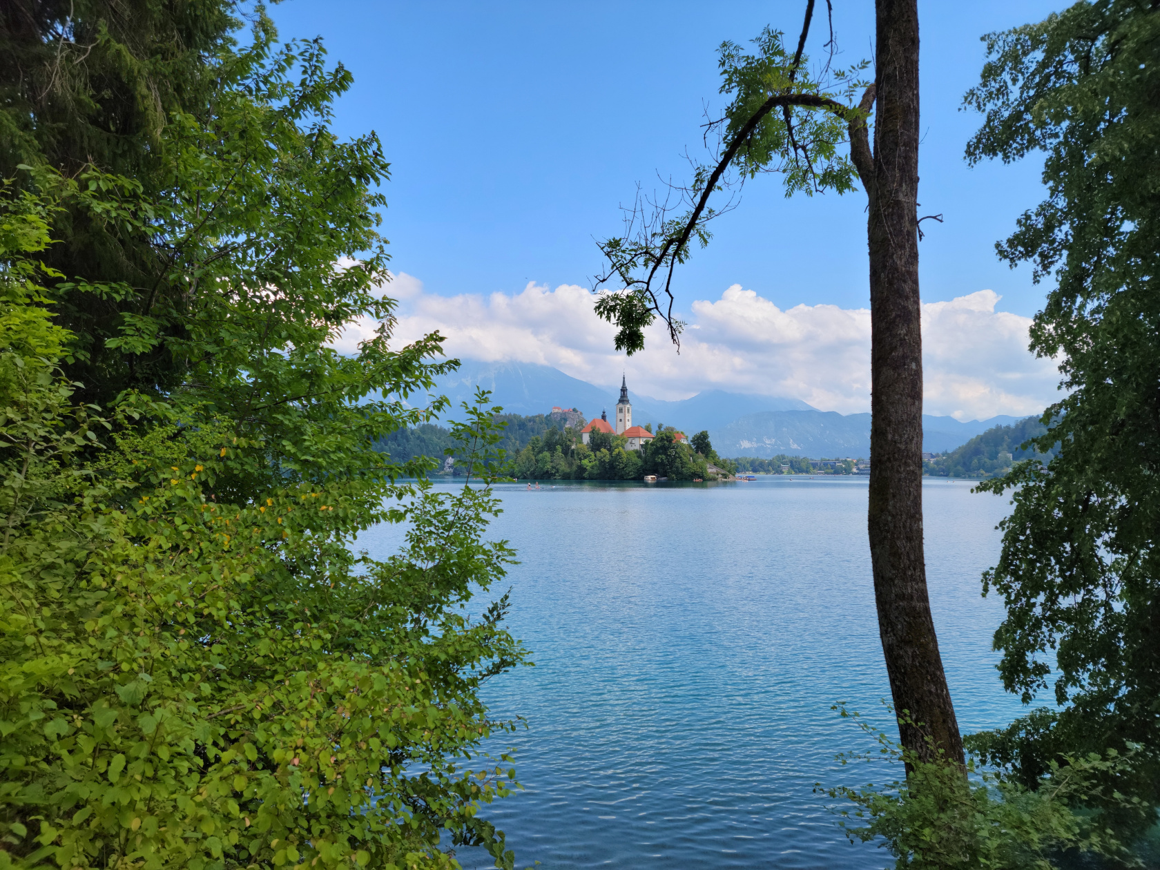
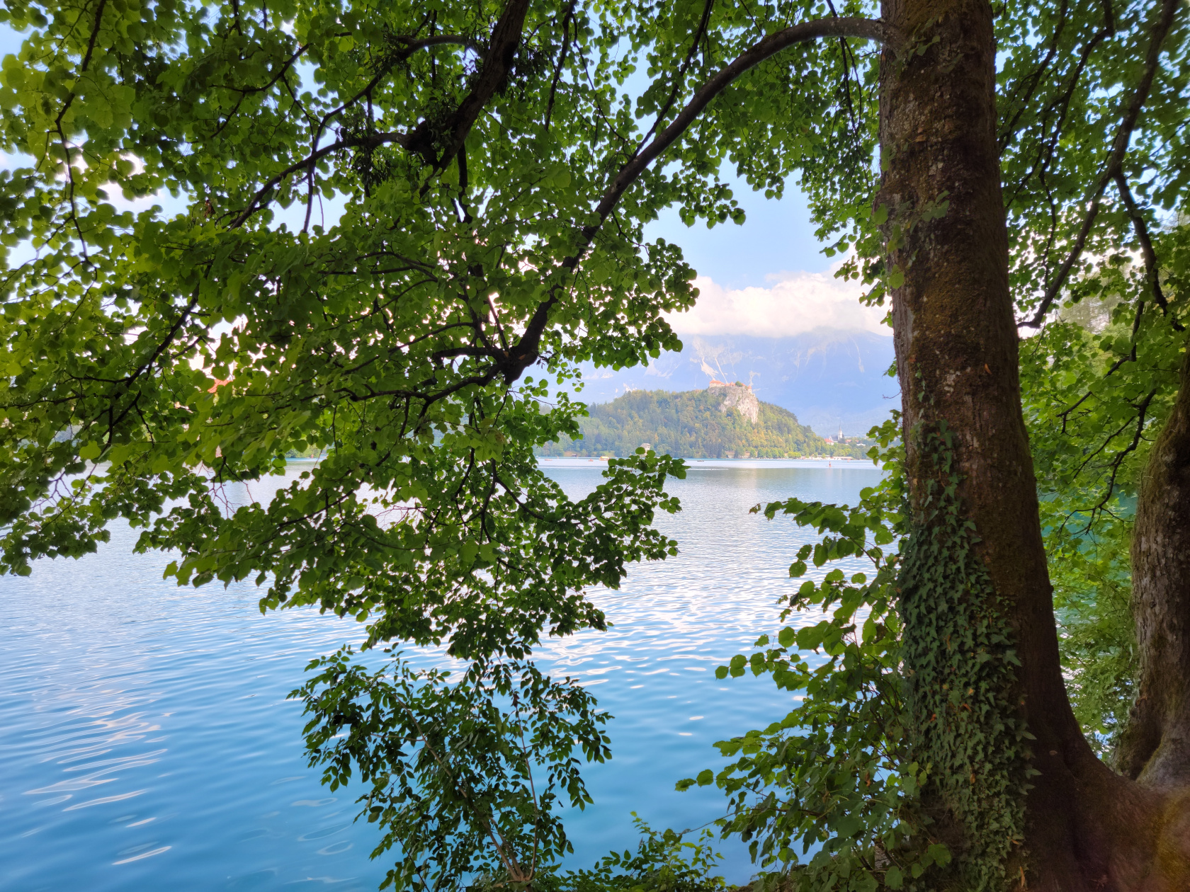
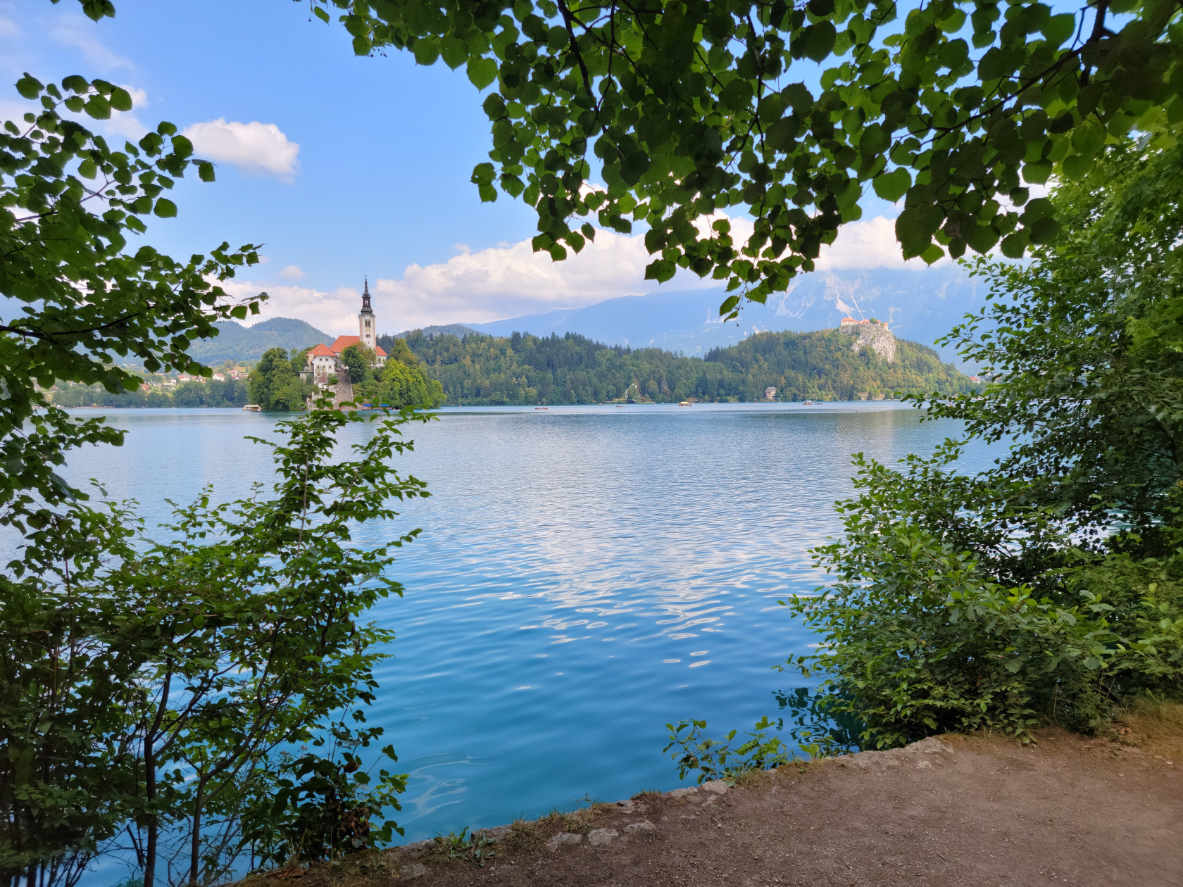
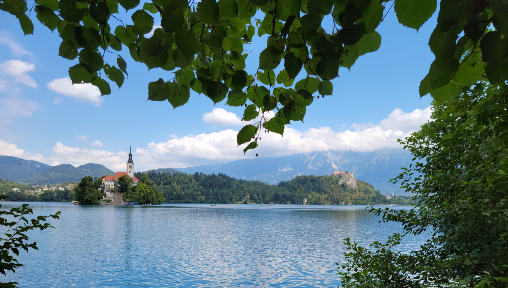
At the base of the Southern Limestone Alps[1]They are additionally known as the Julian Alps., or Karawanken Mountains, sits the small town and lake of Bled . It is almost a must see place to go on a day trip from Ljubljana, especially if you have enough time. Since we have the time, we usually overbook our stays at places that are totally unknown to us. For Ljubljana specifically, and Slovenia in general, we were happy that we did, since it afforded us a day trip such as the one to Bled. Slovenia really is a great place to visit!
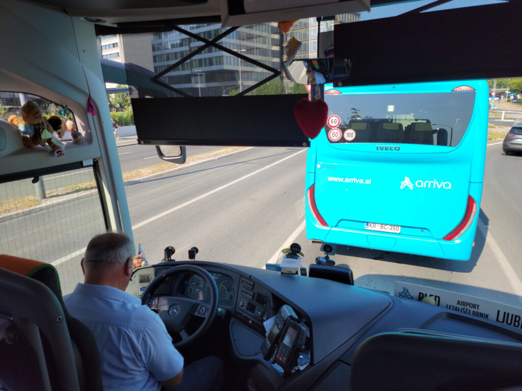
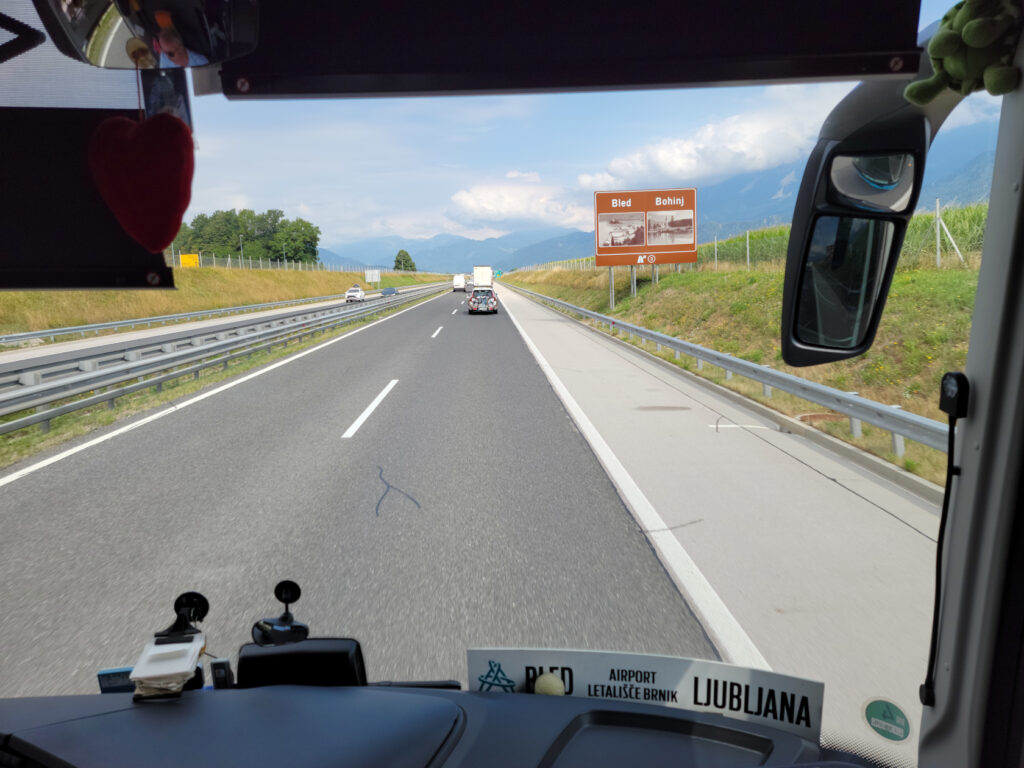
To get to the lake you must travel northwest from Ljubljana, there is the E61 that can be taken by car or bus. The trip normally takes forty-five minutes by car, and up to an hour and a quarter by bus, but can take longer if there is an accident or construction on the highway. Upon the suggestion of the information booth by the Triple Bridge we took the bus, even though we now think the train may be faster. The bus is packed, so if you are worried about Covid-19, and you should, you should be prepared to wear you FFp2 mask.
It should be noted, the bus takes two different routes going to and coming from the lake, each taking about the same time. There is of course the train, which may actually take less time gong to and fromm Bled, but then you have about a twenty or so minute walk from the town of Bled Train Station to the lake. The bus on the other hand goes all the way to the lake, even though we chose to get off at the Blen Union station.
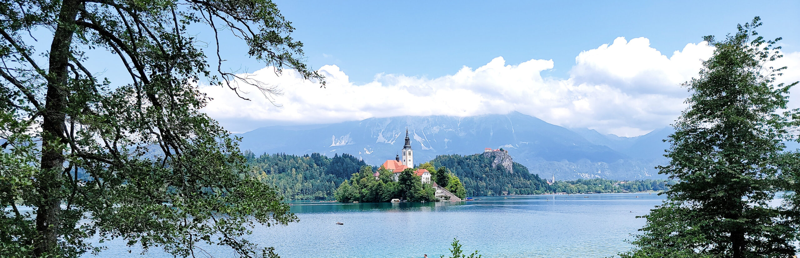
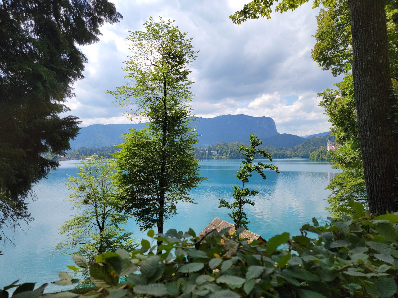
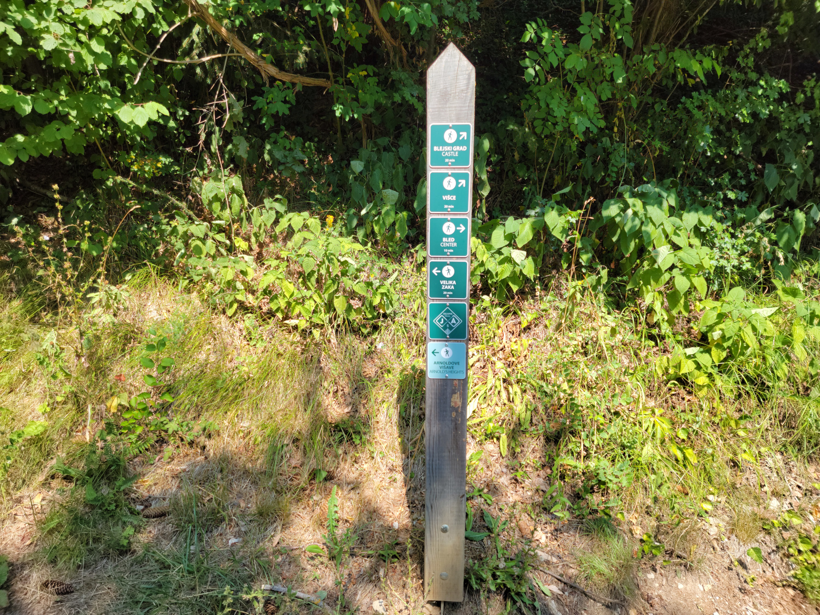
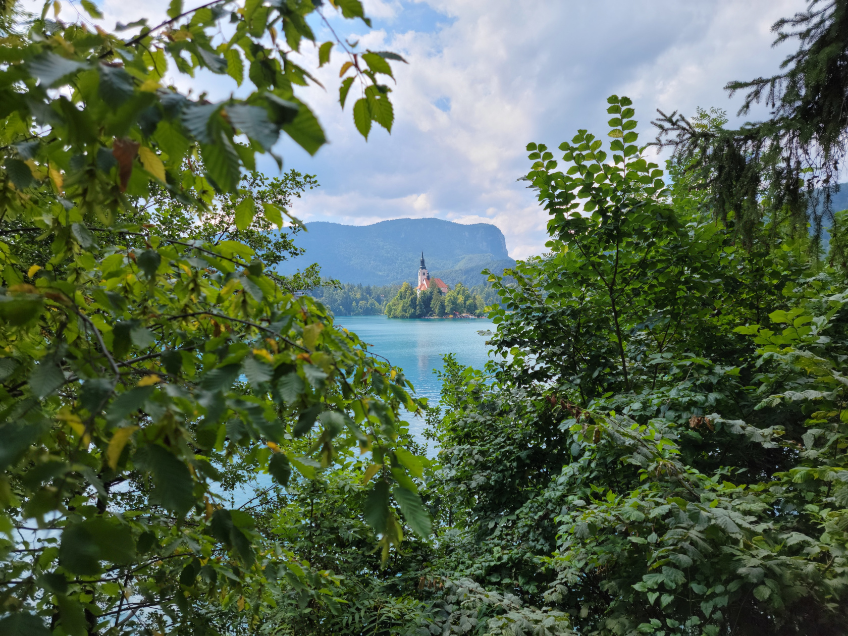
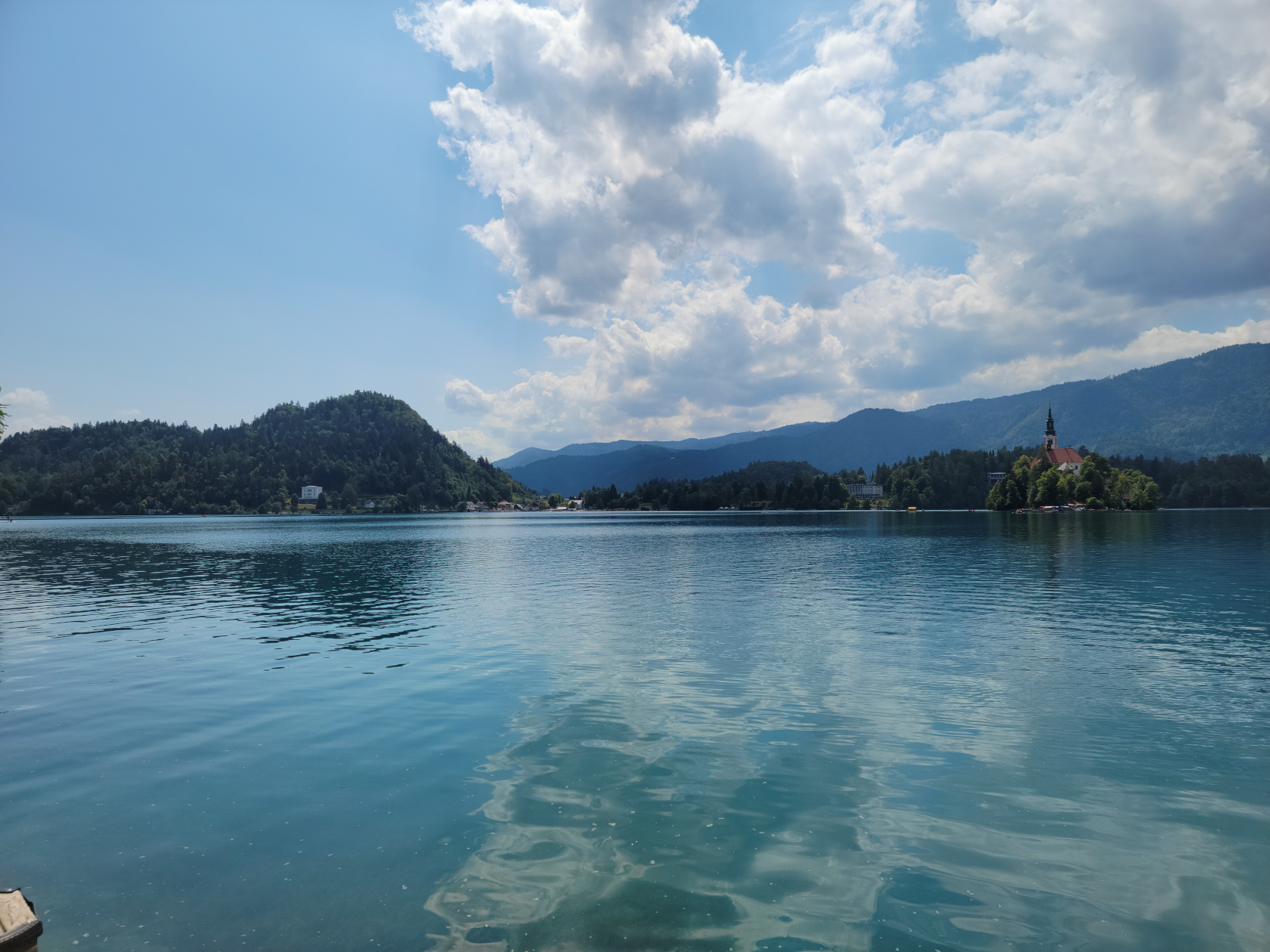
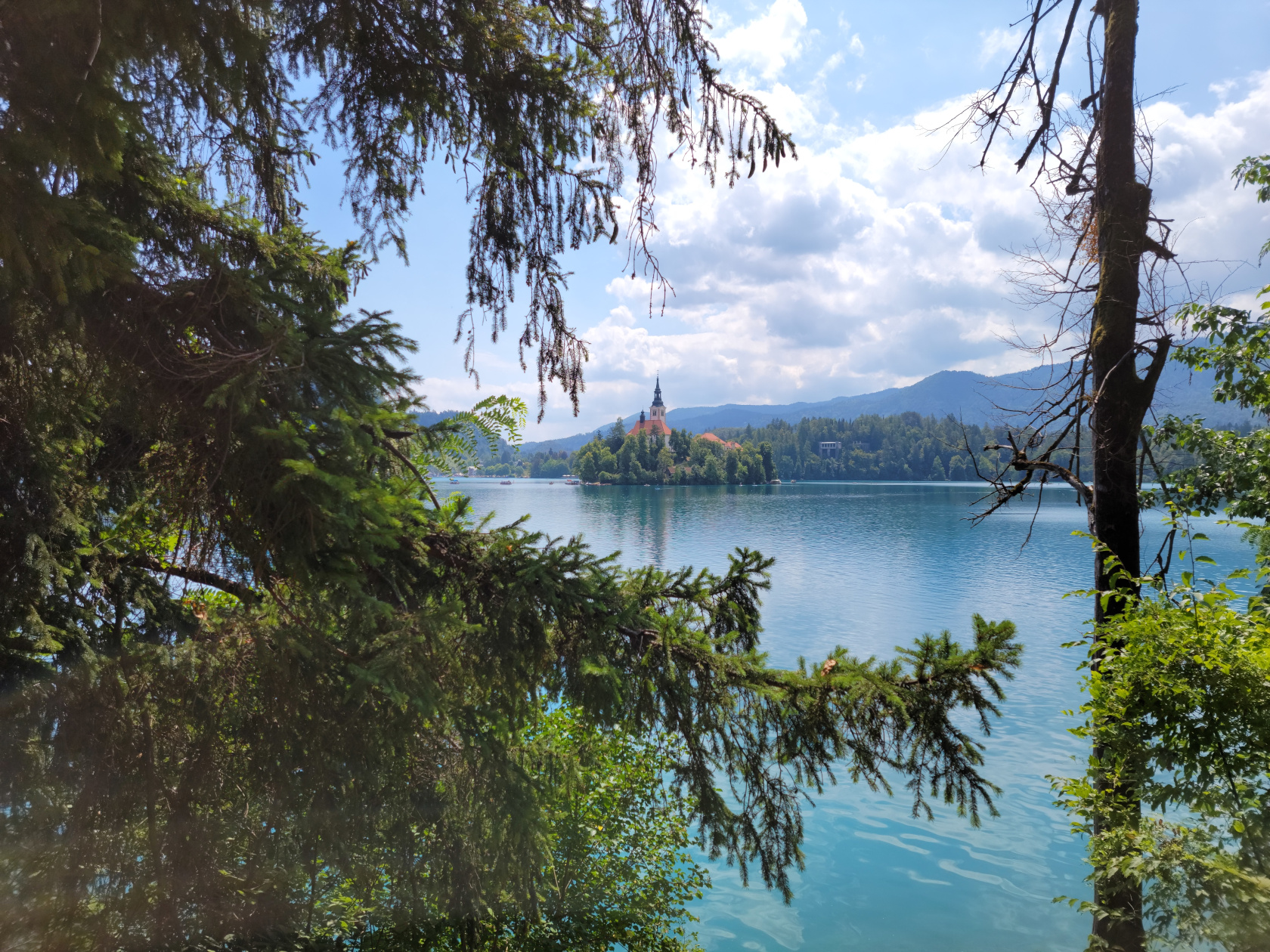
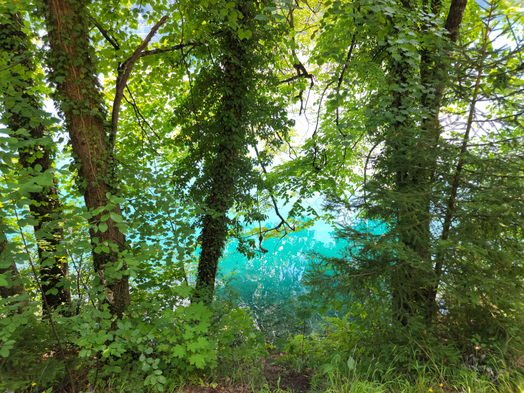
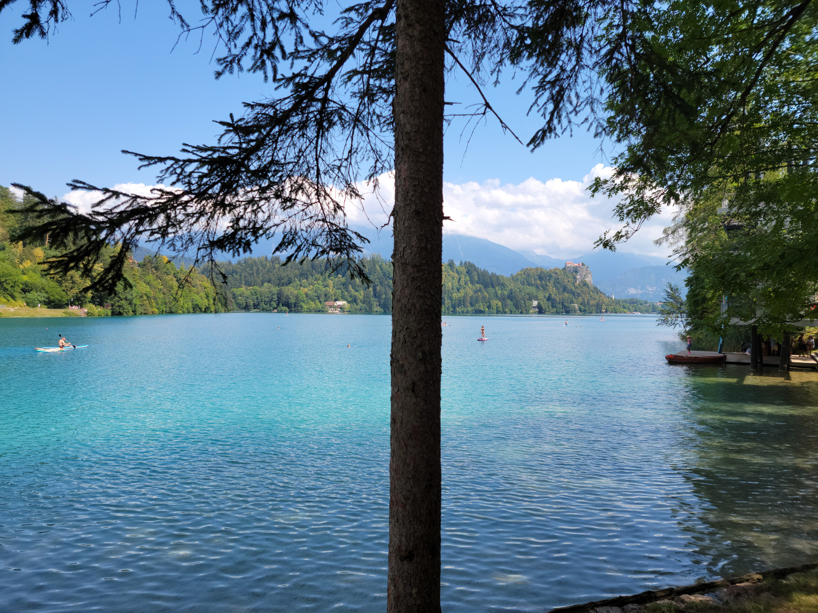
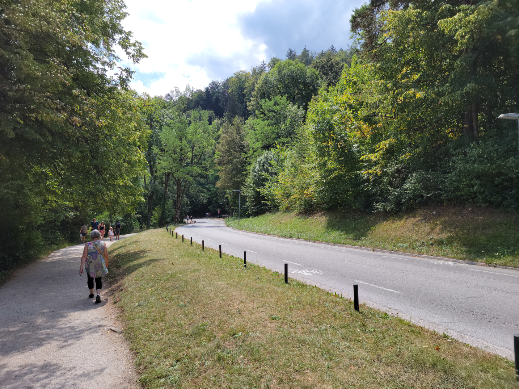
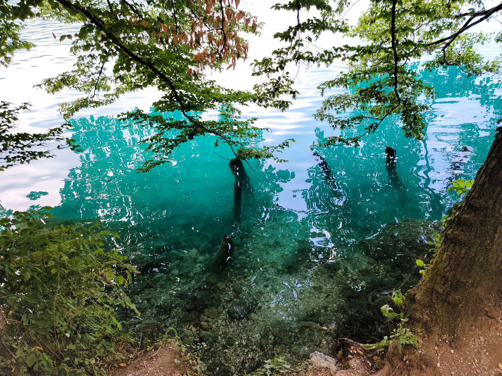
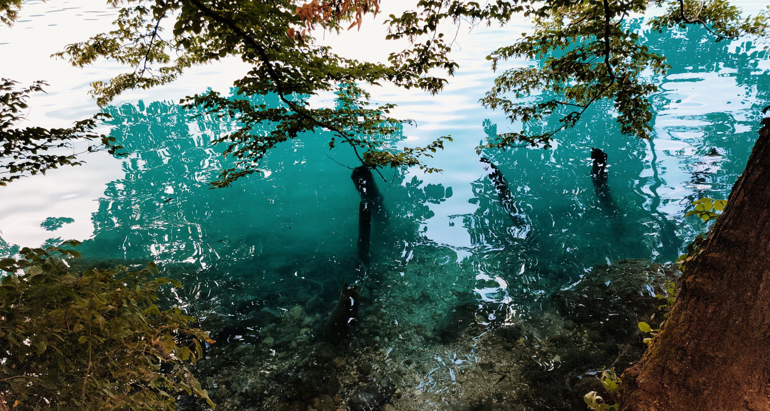
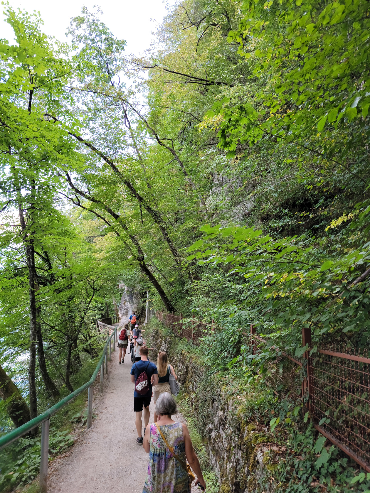
There is an excellent trail that totally circumnavigates the lake, going through several tourist beach and cafe points, any one of which you can take a pause in your walk to get refreshed.
Here is a slideshow of our great afternoon walking the lake shore trail, enjoying the beautiful weather and scenery.

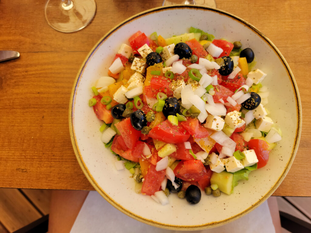
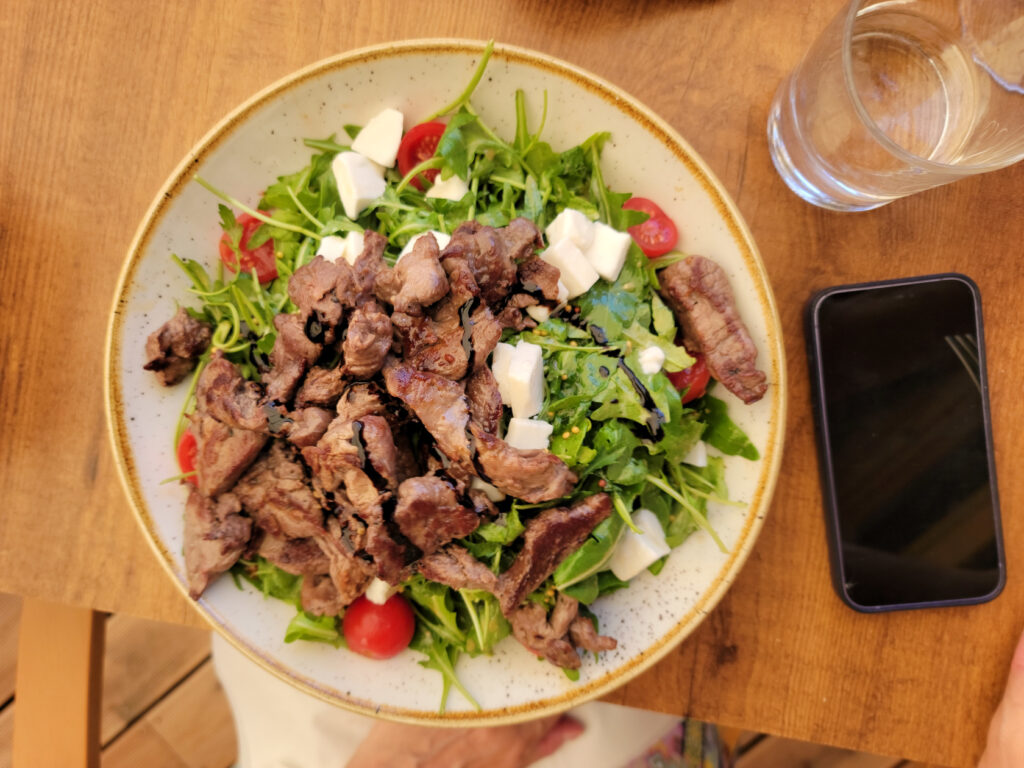
Around 12:30 or so we stopped about three quarters of the way, going anti-clockwise around the lake, at the restaurant Hotel Starkl. It is best to get to any European tourist restaurant thirty to forty-five minutes in advance, because at one o’clock they fill up quickly. Here we purchased simple salads and enough wine and water to enjoy the fabulous weather.
References
| ↑1 | They are additionally known as the Julian Alps. |
|---|
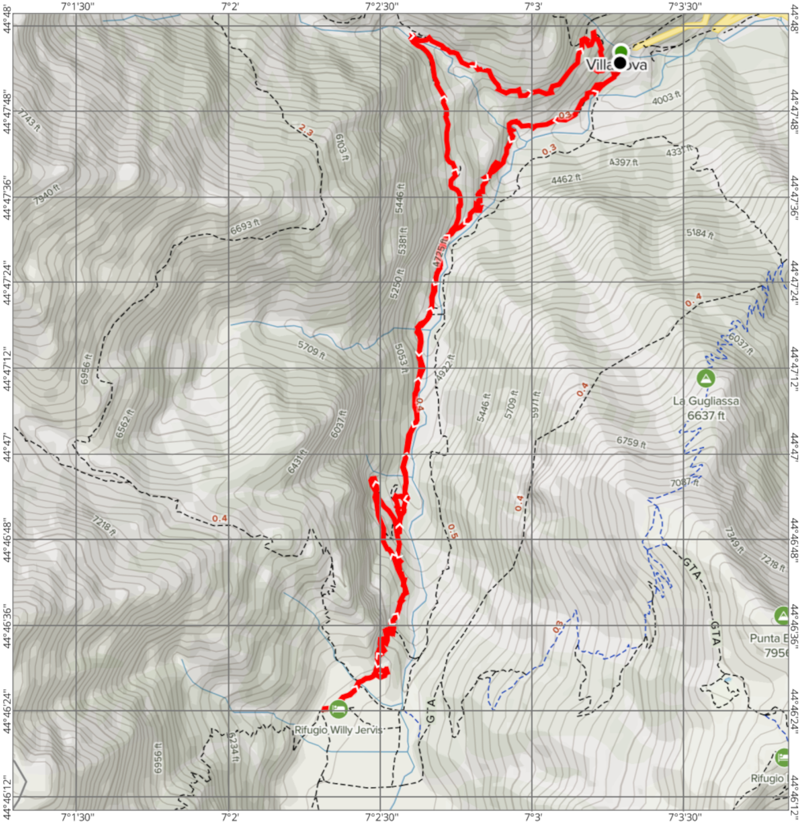
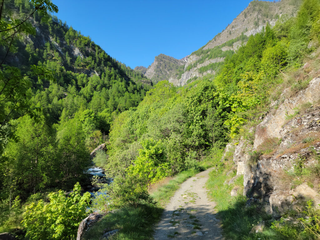
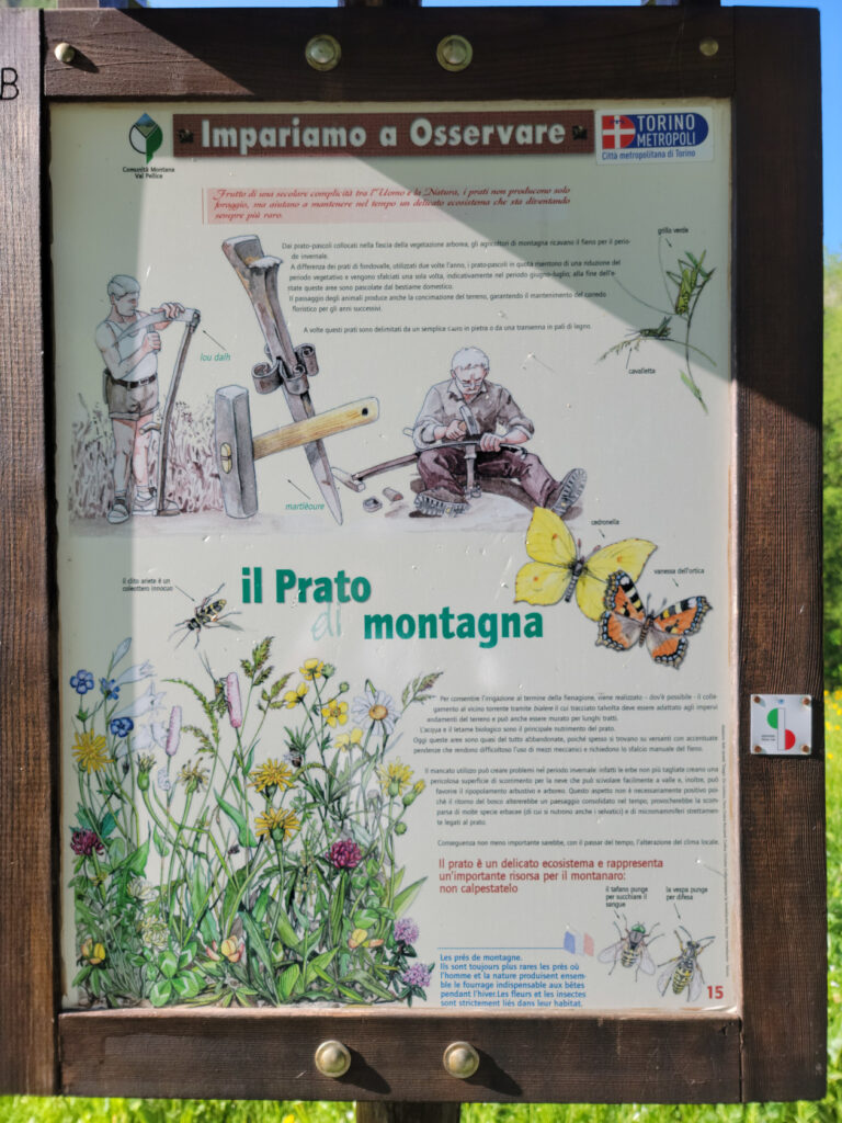
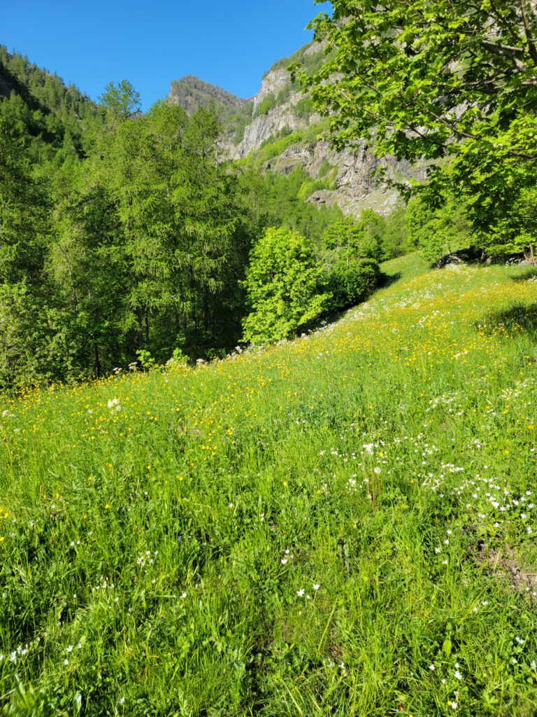
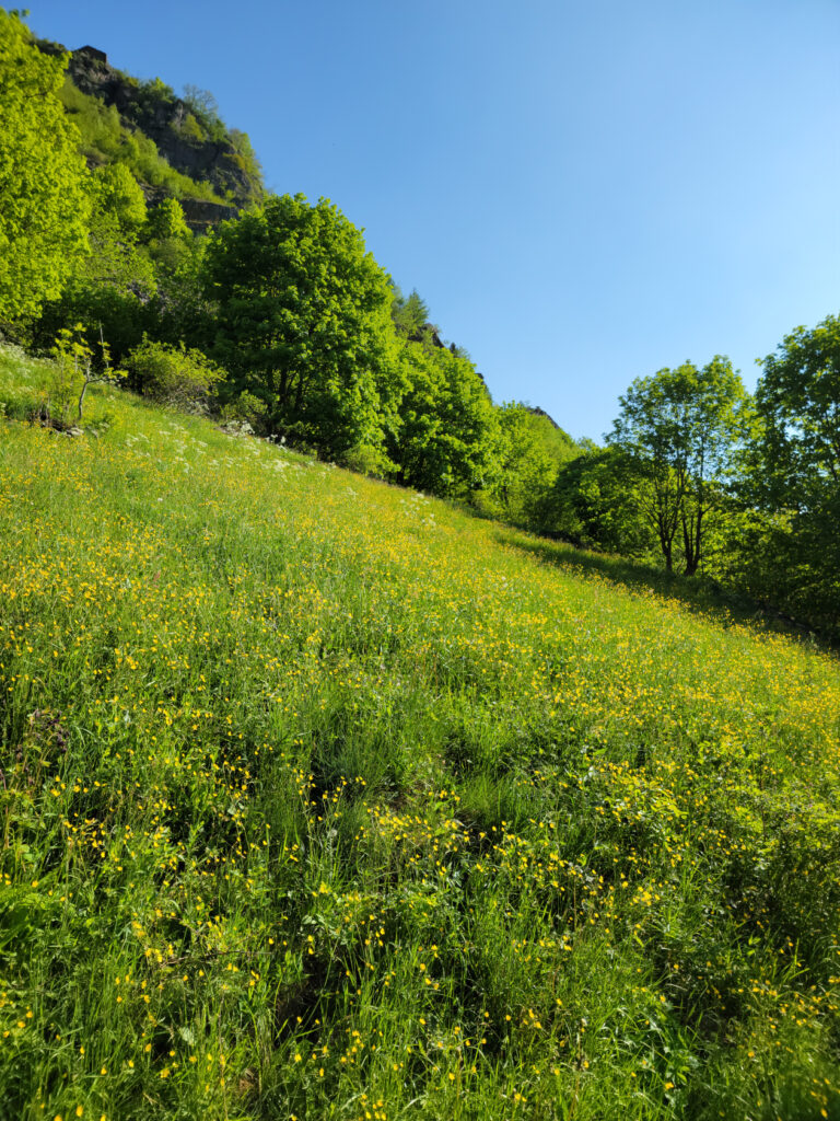
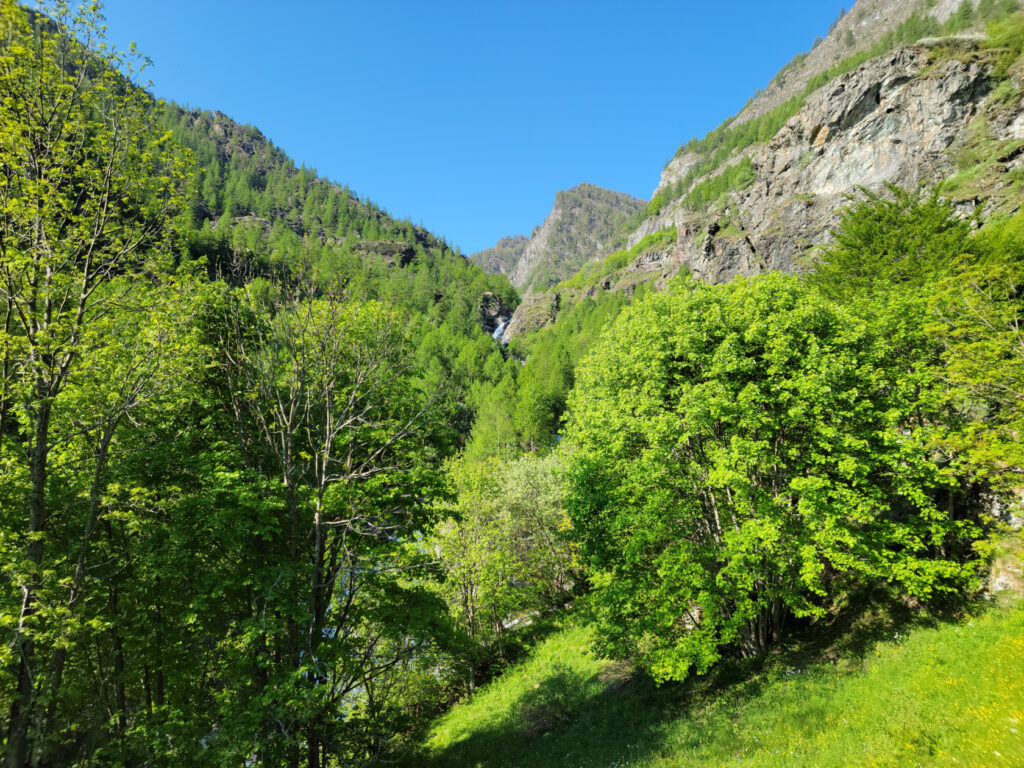
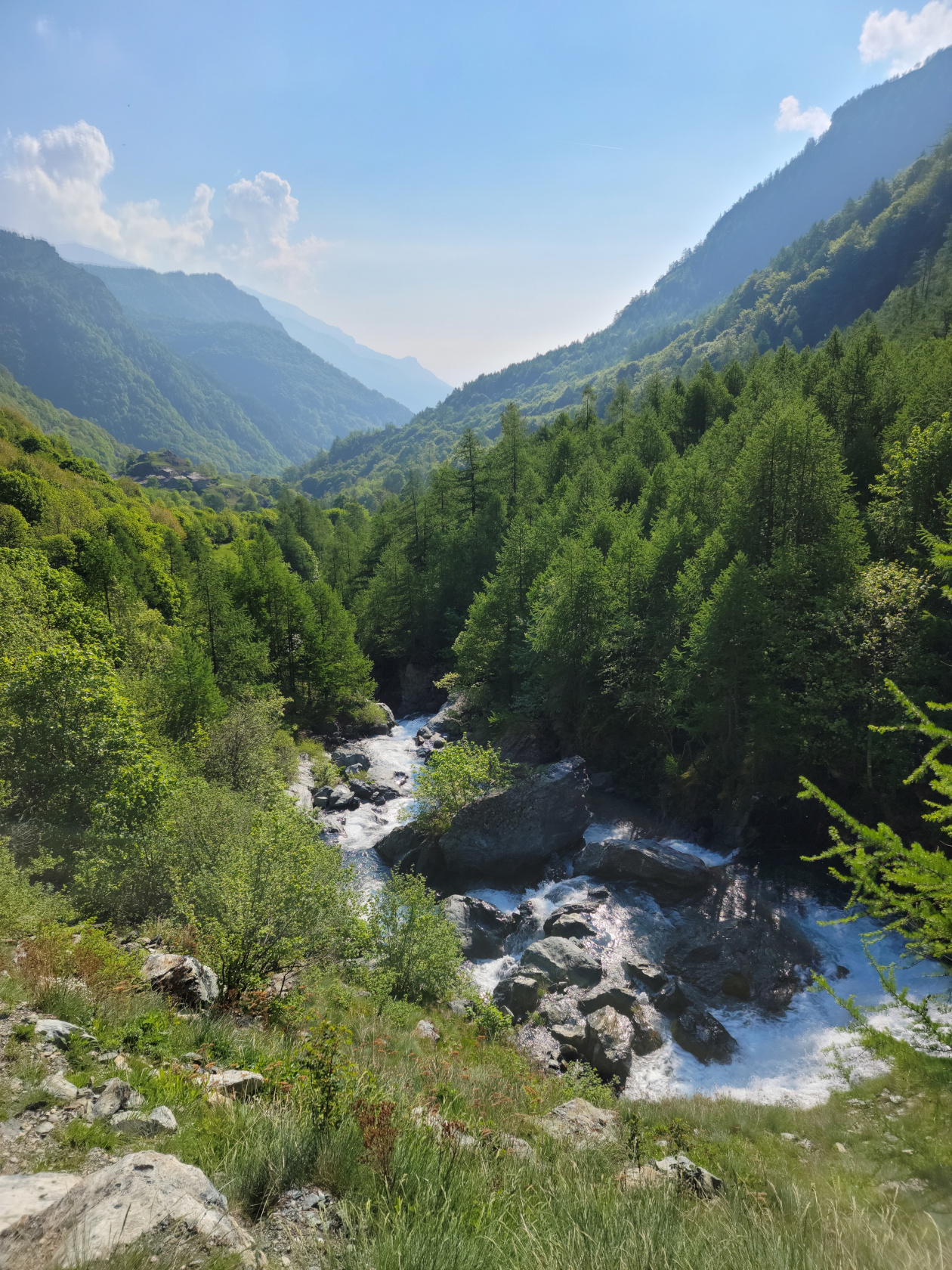
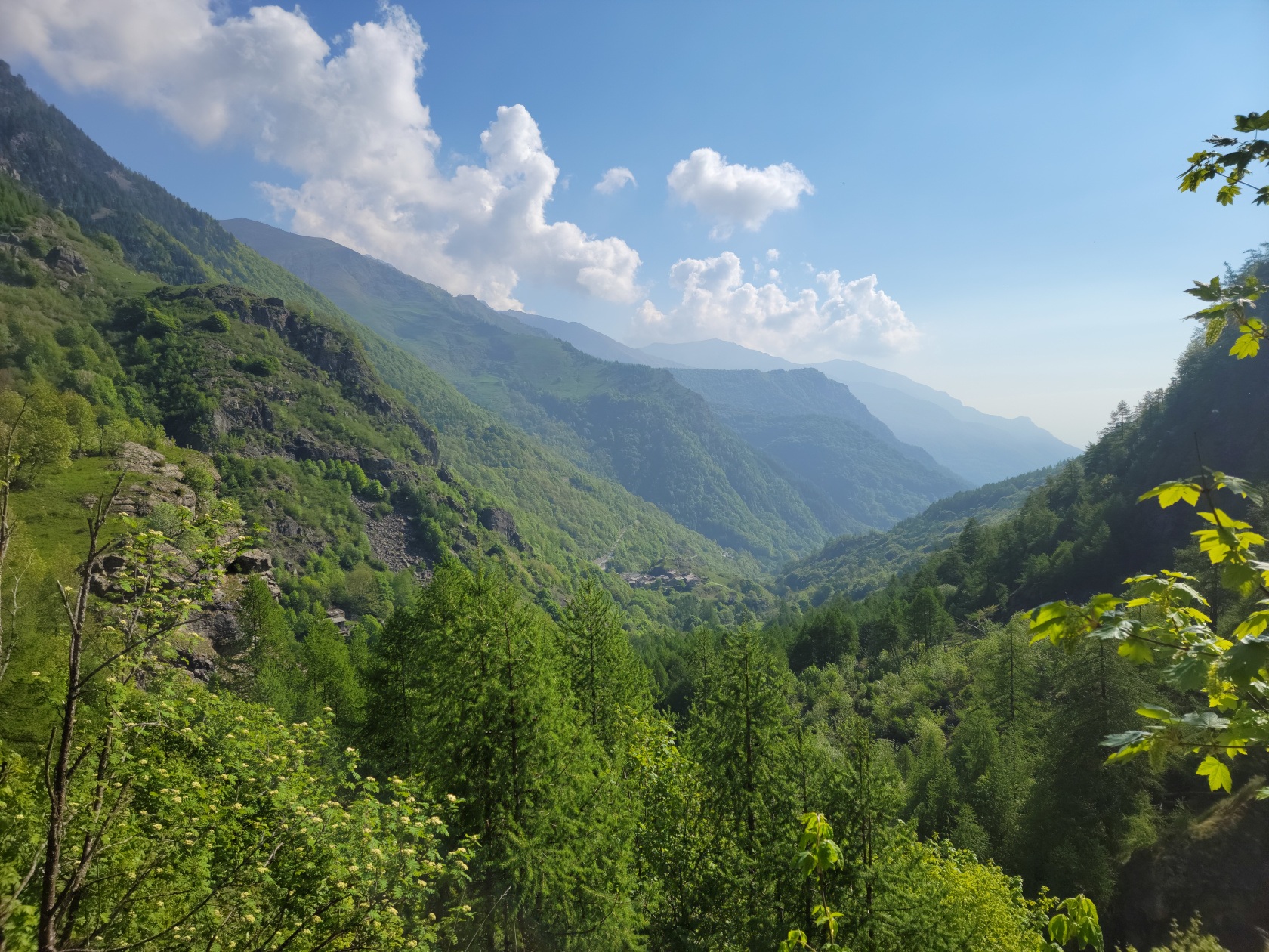
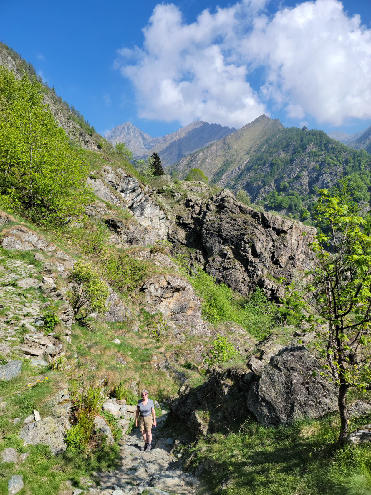
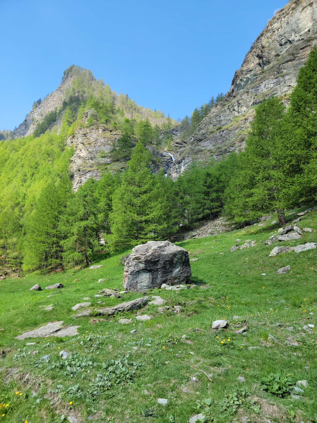
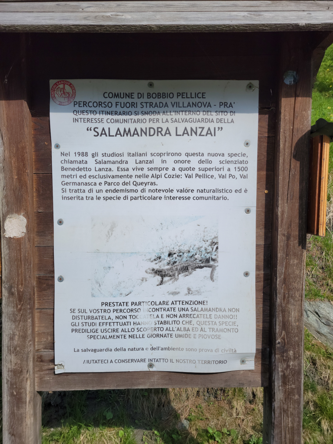
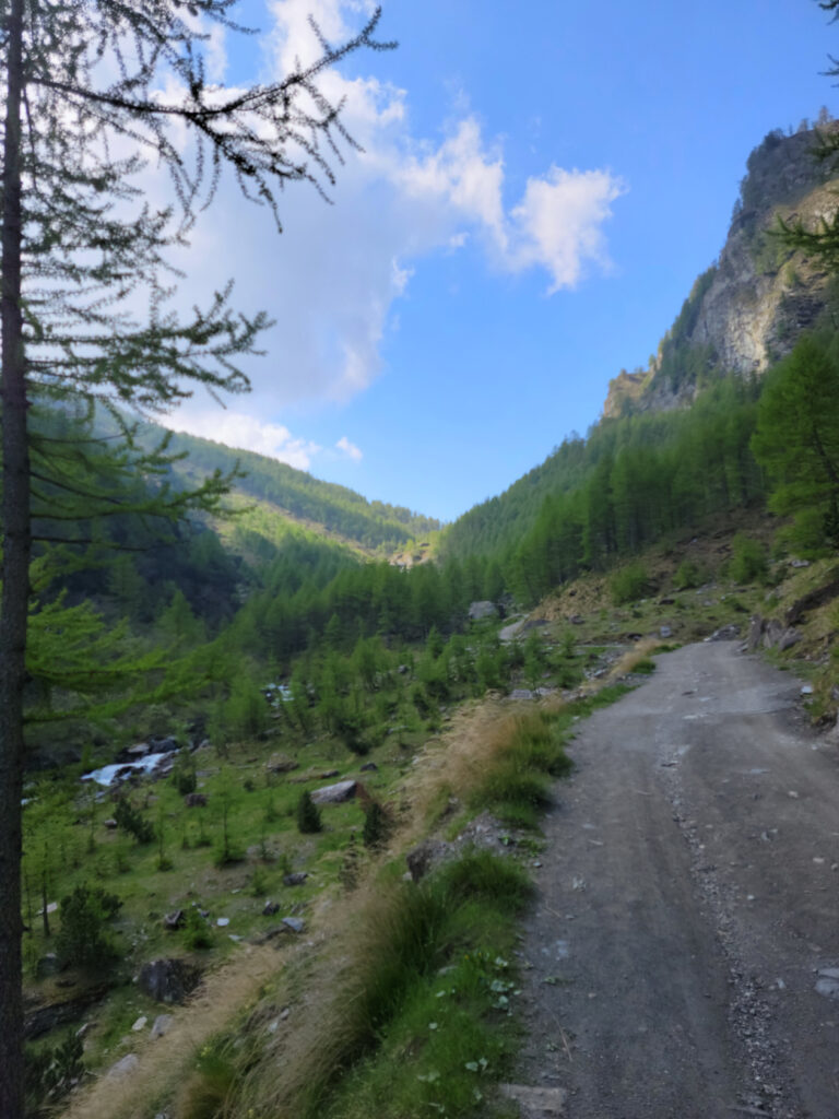
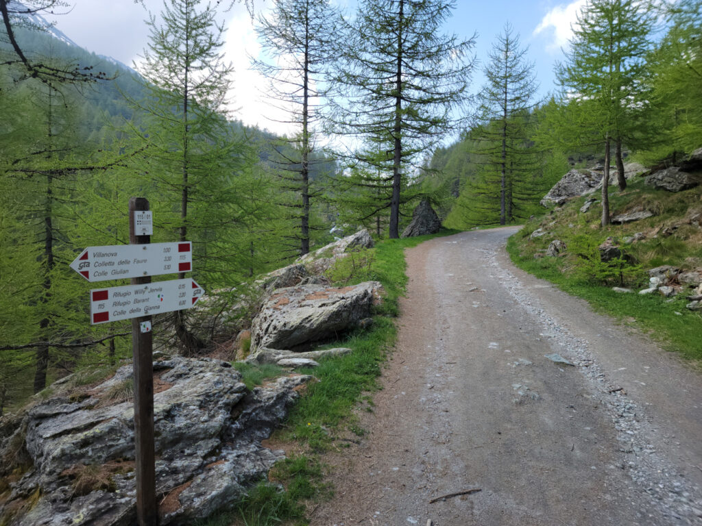
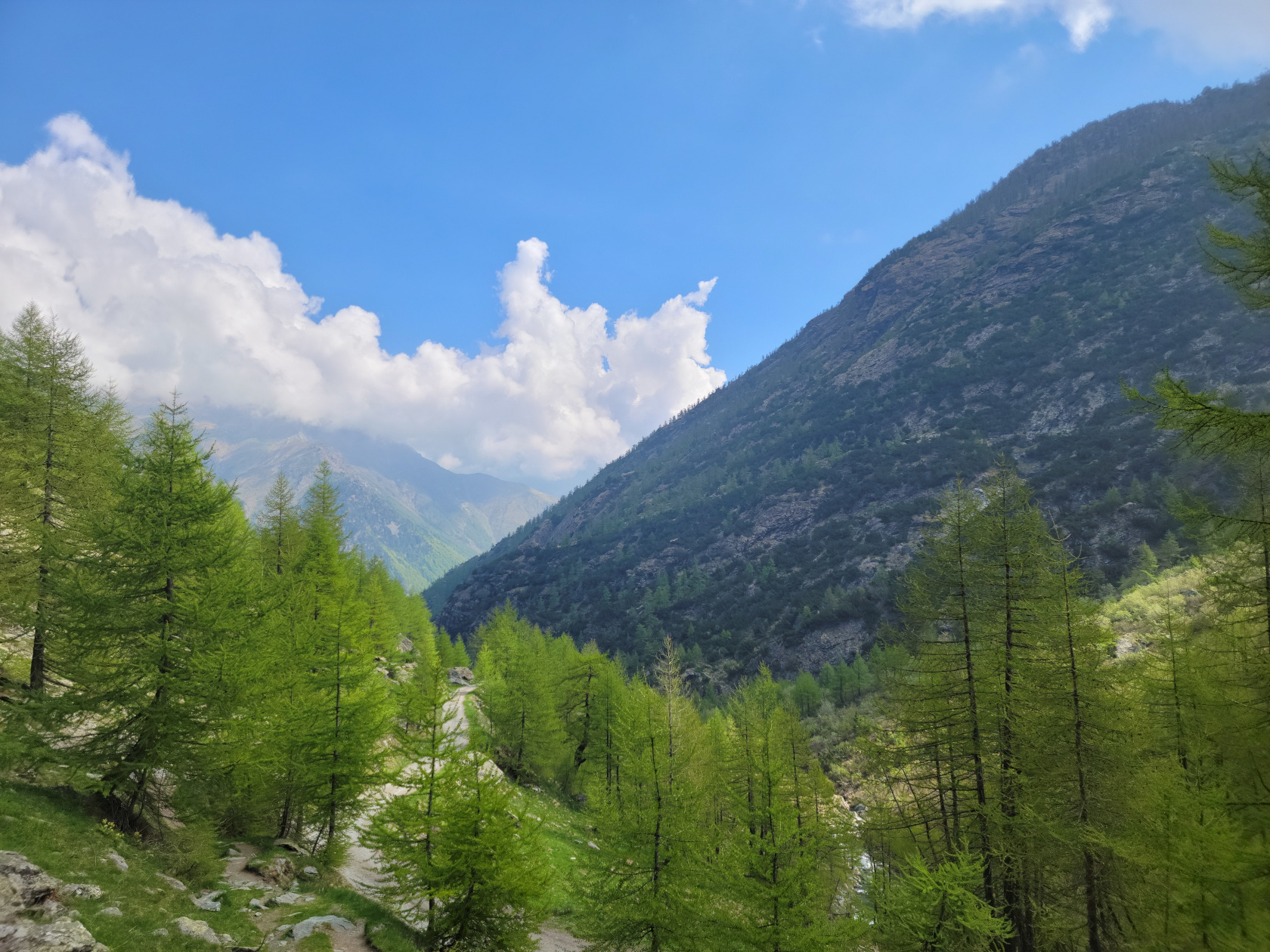
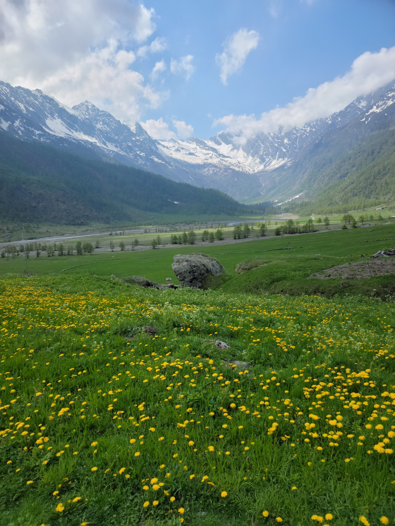
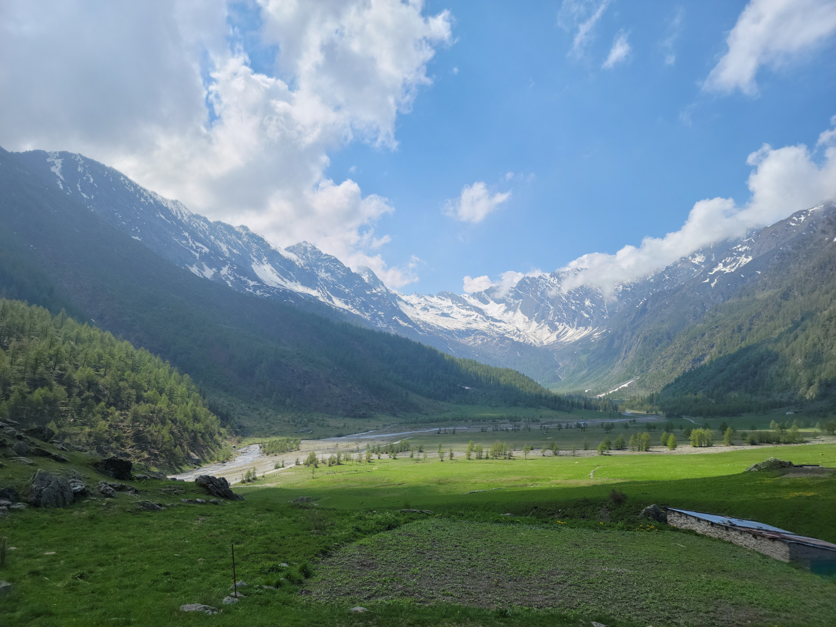
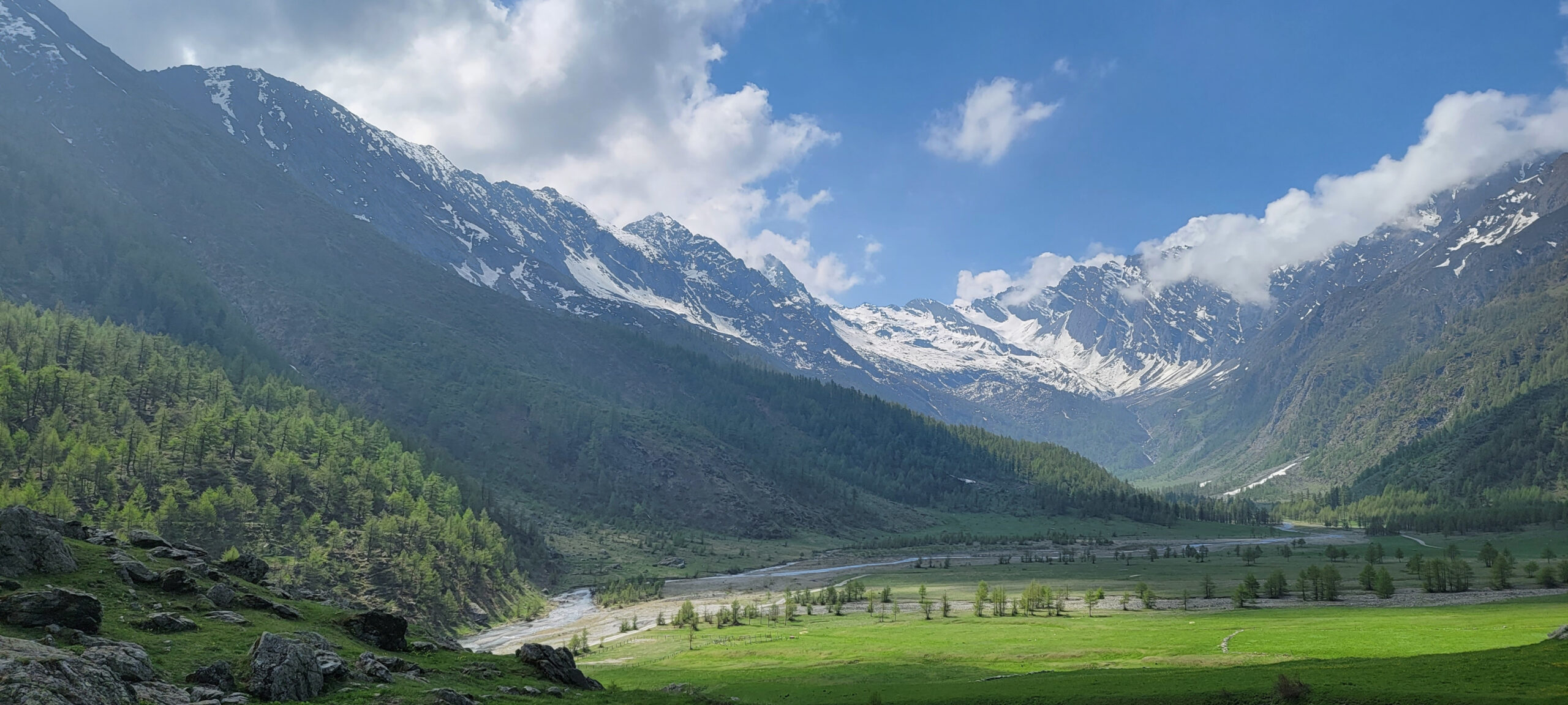
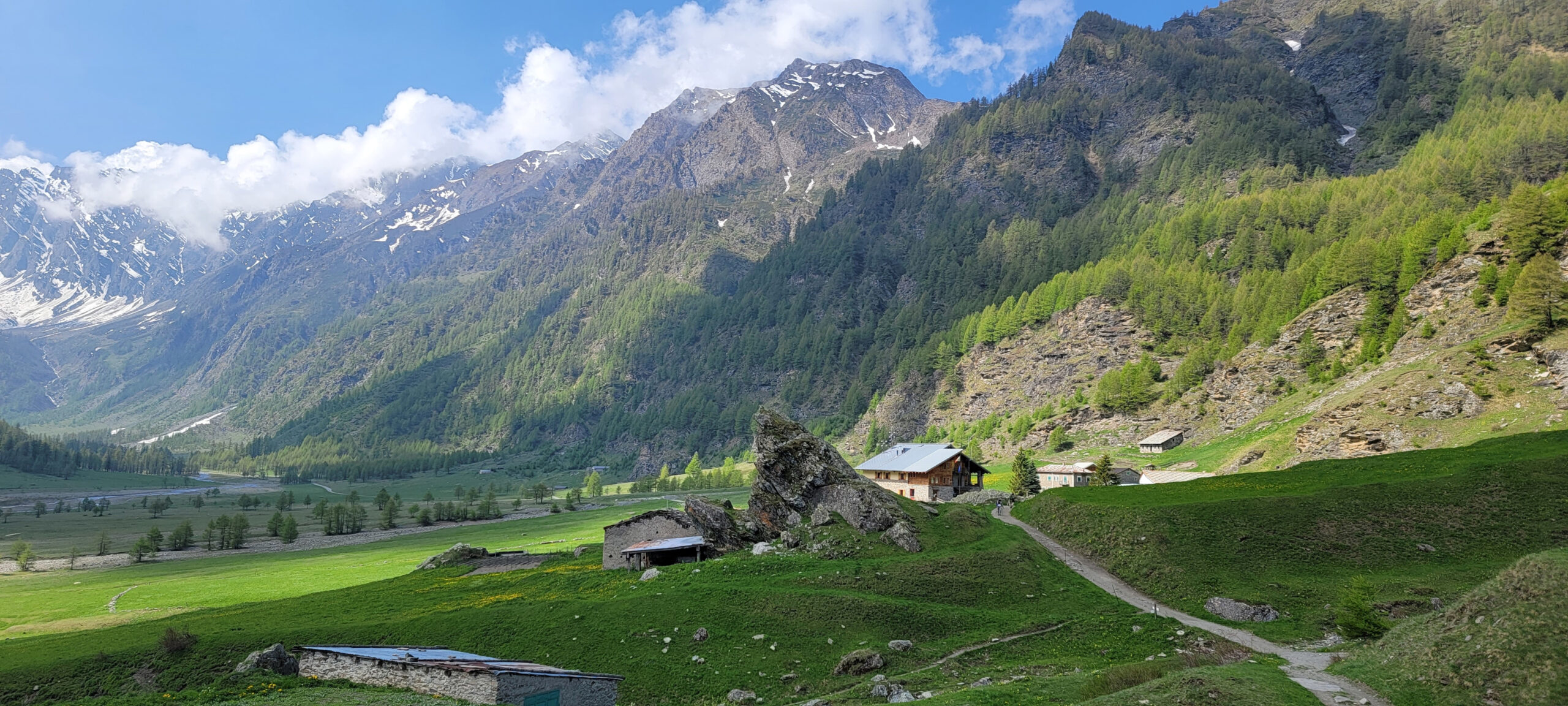
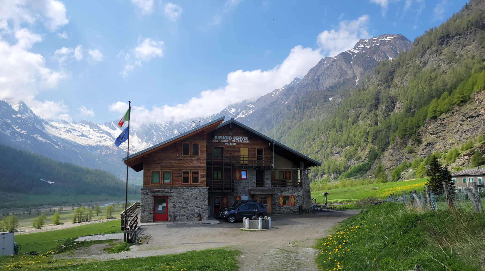
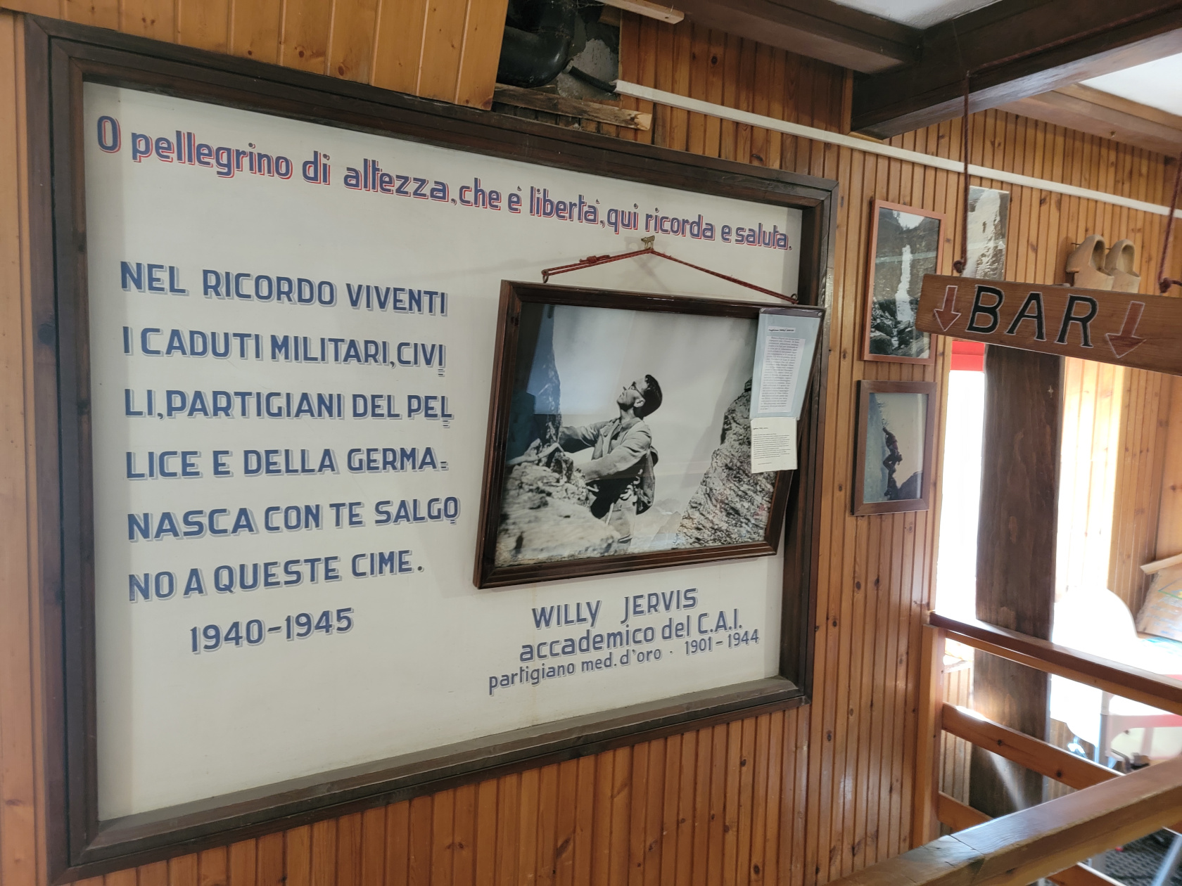
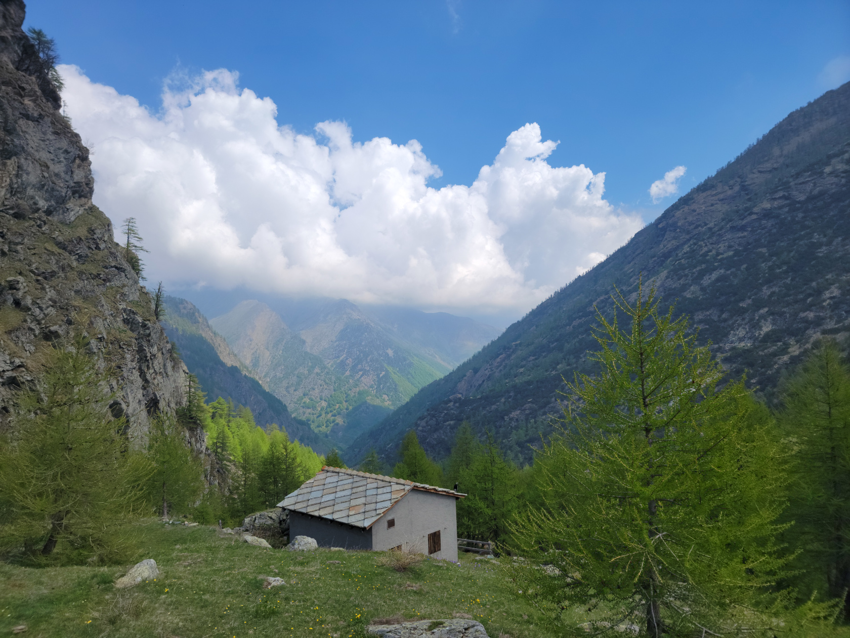
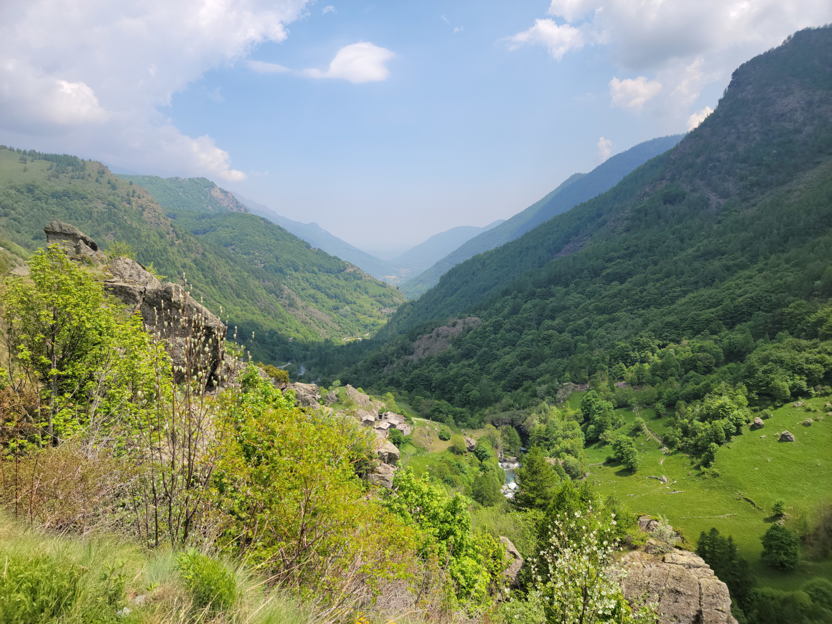
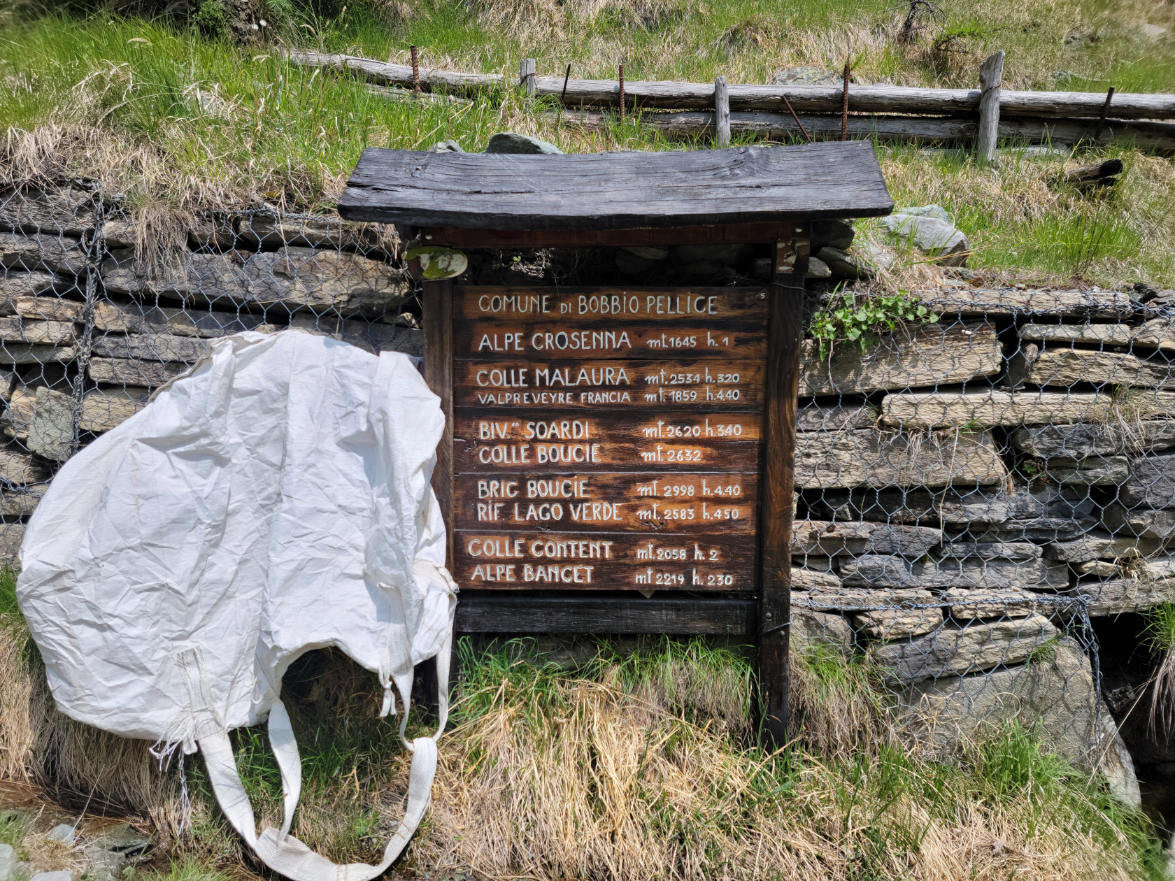
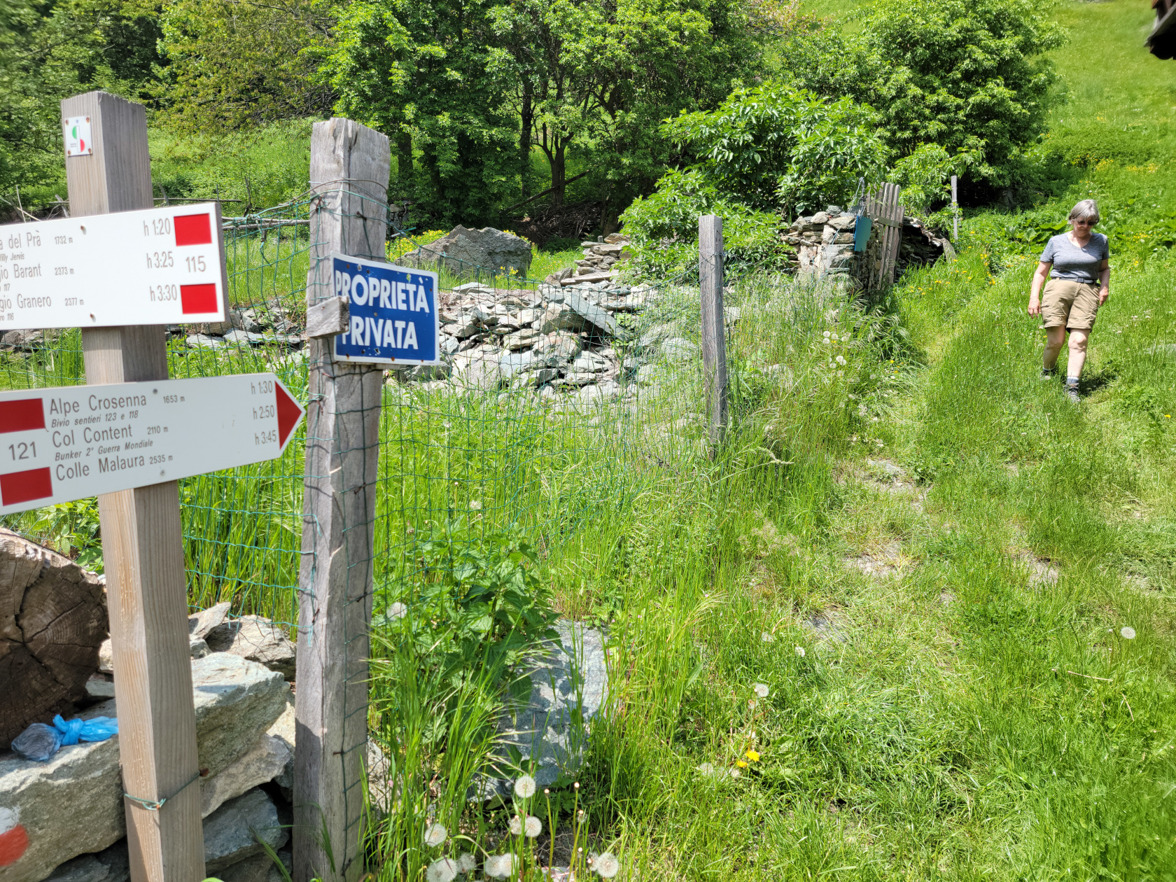
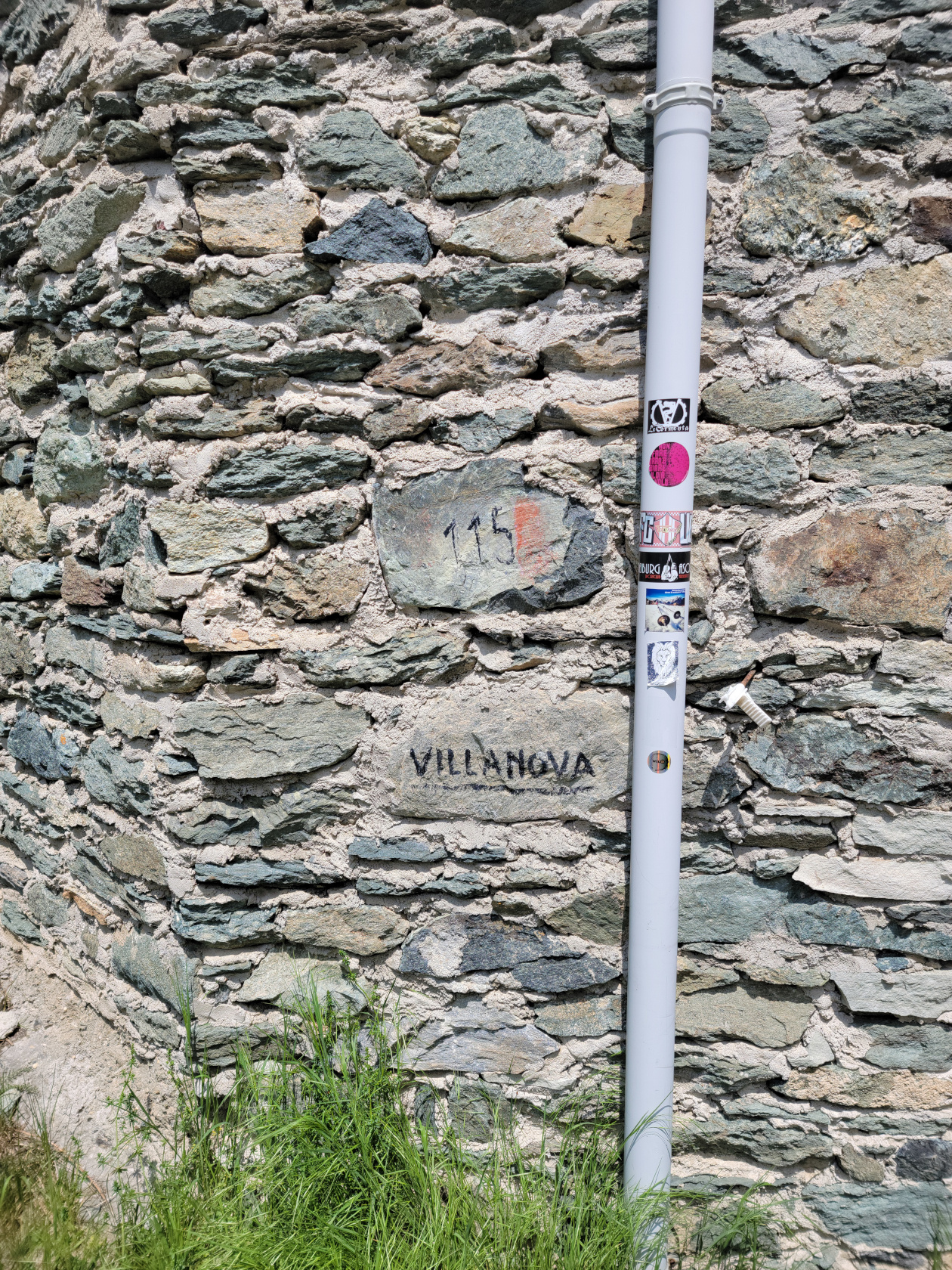
An easy day hike from Villanova in Val Pellice, or the Pellice River Valley, later to become the Torrente Pellice, is the destination of the Refuge of Willi Jervis, known locally as Rifugio Jervis. The Pellice is actually formed on the western flank of Mount Grenaro, which would be down the valley pictured below and to the left.

Though the hike should have only taken us a hour and fifteen minutes up and the same back, it took us approximately three and a half hours. Some of this was taken up by stopping for photographs and the occasional drink (it is important to stay hydrated, especially when it gets warm, plus at altitude the body loses more moisture, so be careful). This of course cannot be helped when faced with a new experience and such beauty.
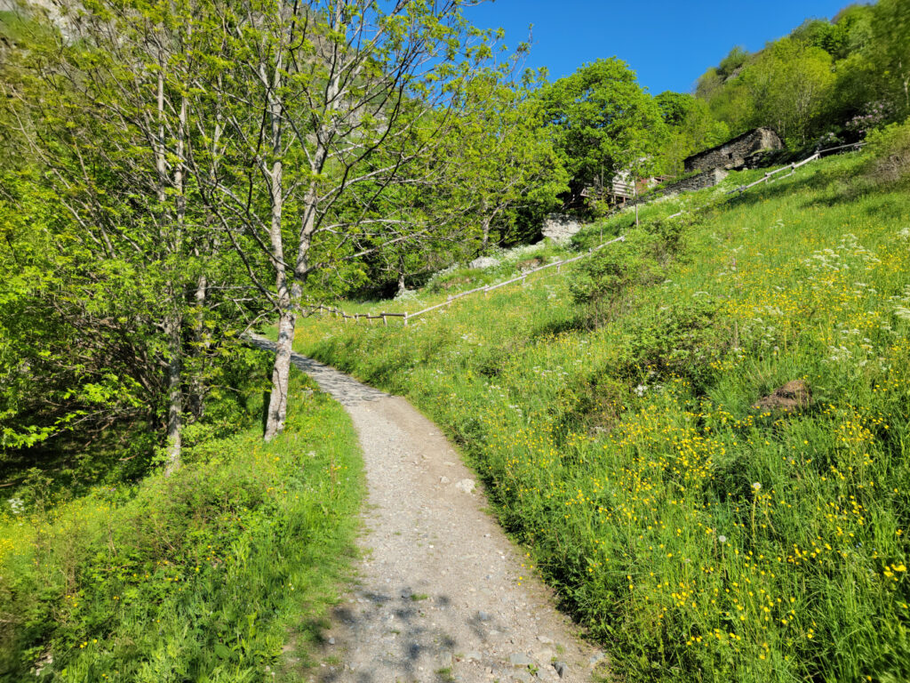
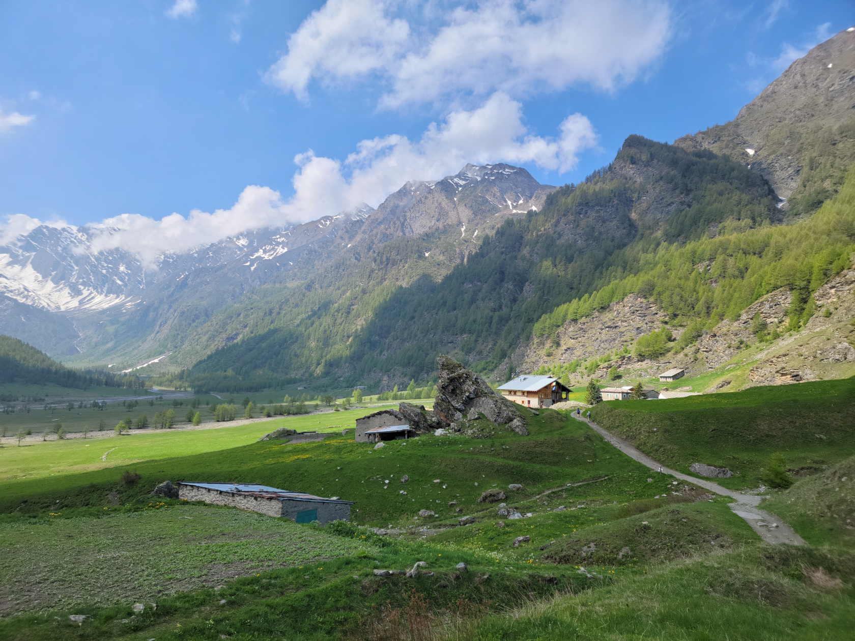
The drive from Malpertus to Villanova took all of ten minutes on the windy roads of the Conca Cialancia Natural Park , which includes the Val Pellice and the surrounding mountains. Our hosts, Sam and Lisa Chiodo at Renovating Italy at Borgata Malpertus, are amazing and were kind enough to give us a ride and later pick us up at the start of the trail in Villanova. If you are looking for a home base in the area, look them up, they are both great.
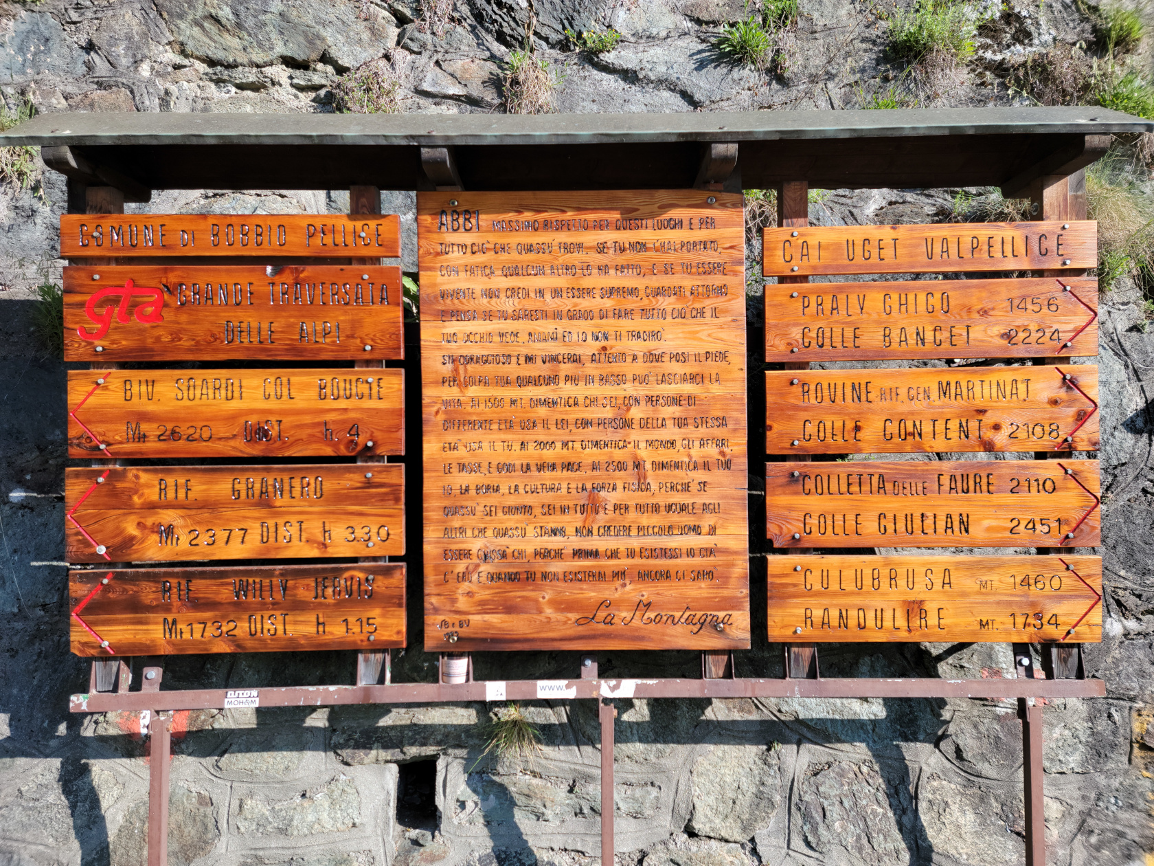
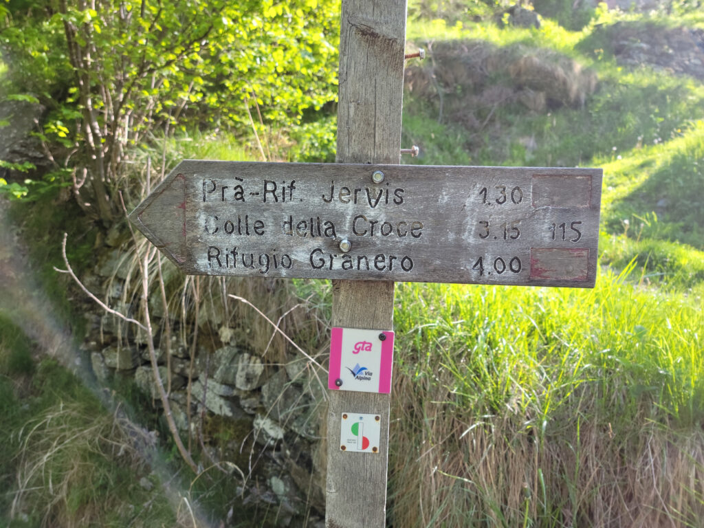
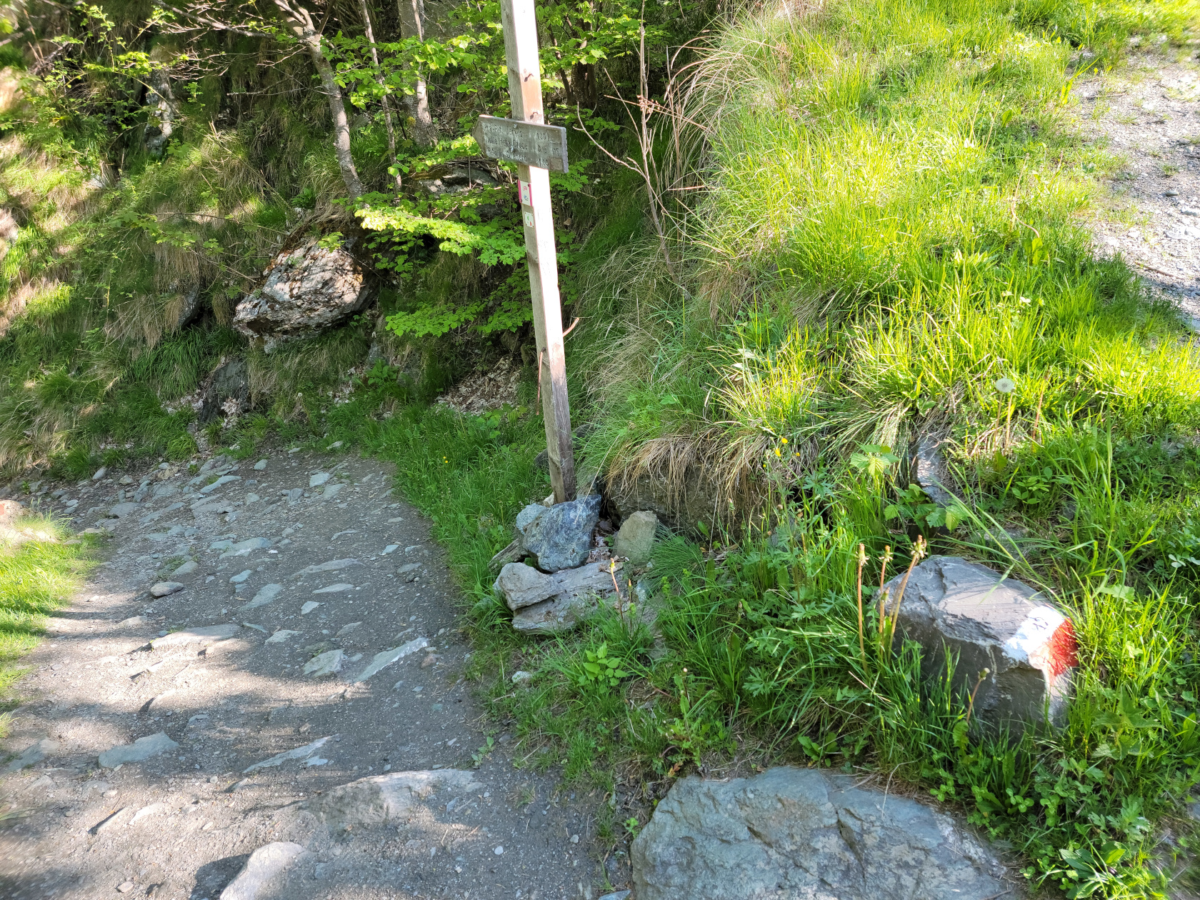
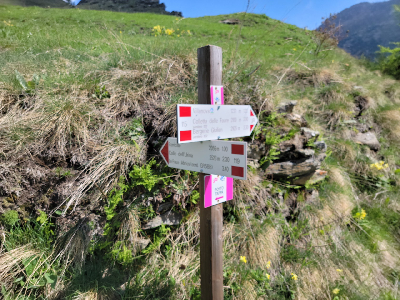
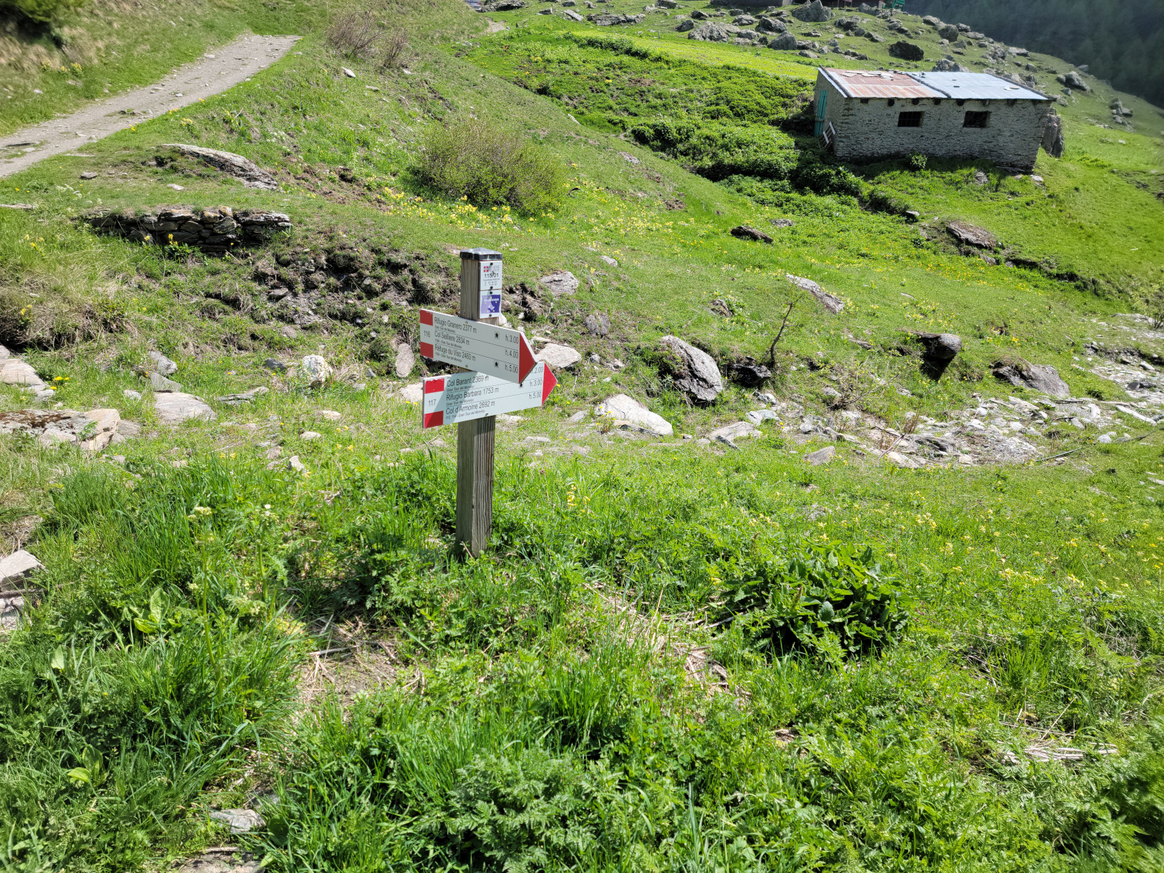
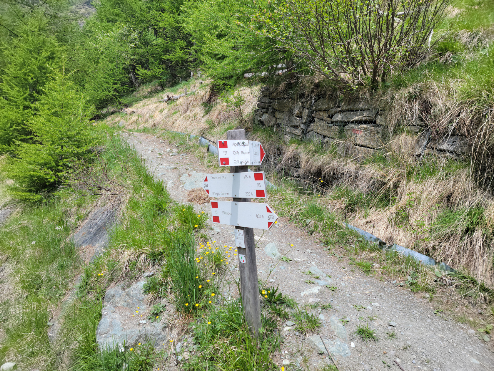
Looking closely at the wooden signs above, our destination is the last item on the left hand side, Rif. Willi Jervis. It estimates the average hike time as one hour and fifteen minutes, but it took us considerably more, since we were always stopping to take photographs, or just to admire the views.
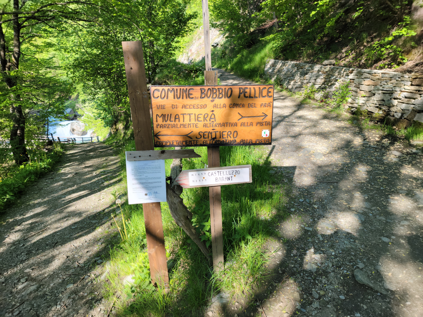
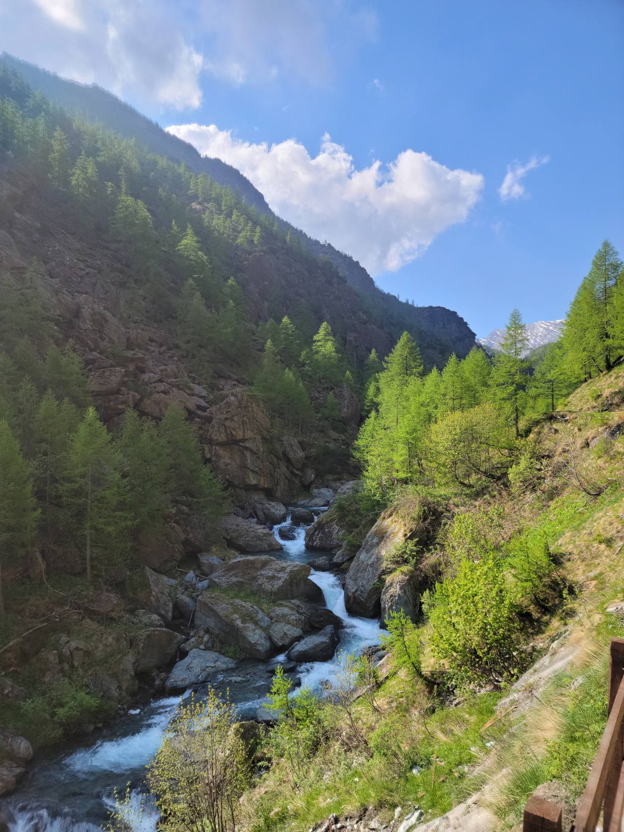
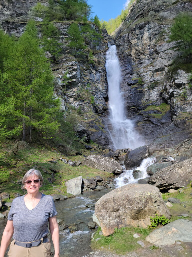
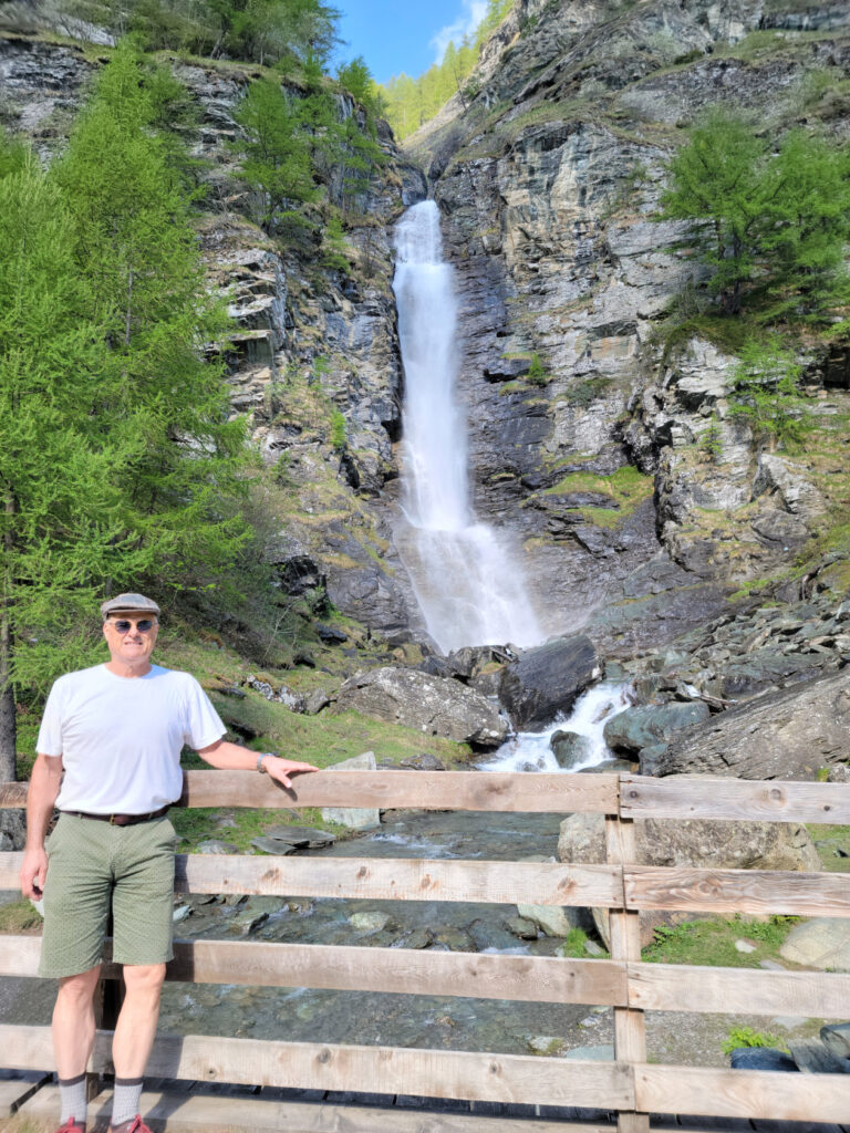
Though we actually took the Mulattiera, or mule path, we went down the Sentiero to see the waterfall. The more difficult Sentiero, or pathway, which goes over boulders can be taken, but we thought the mule trail would be difficult enough and our host Sam agreed. So we walked down to the Cascata di Villanova, a waterfall not far from our starting point, to get a short video and walked back up to start our hike.
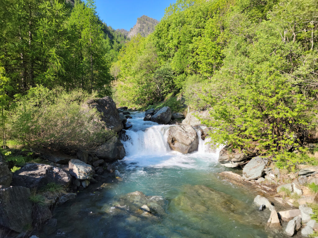
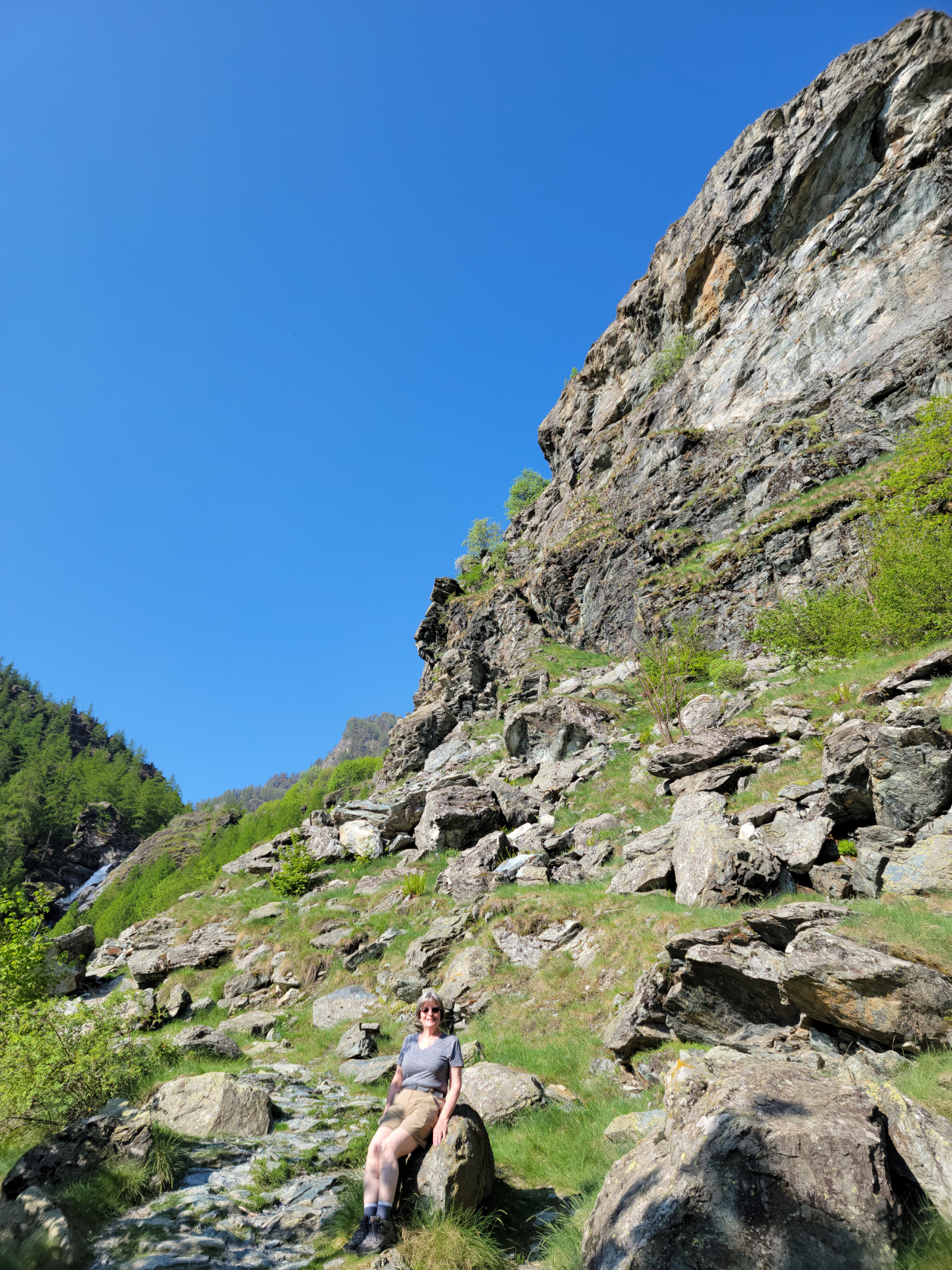
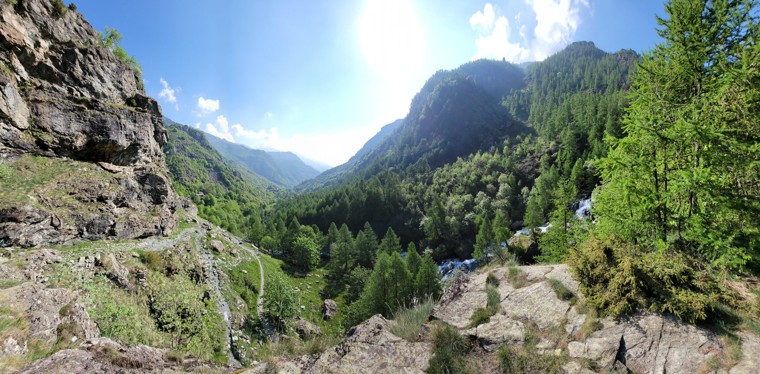
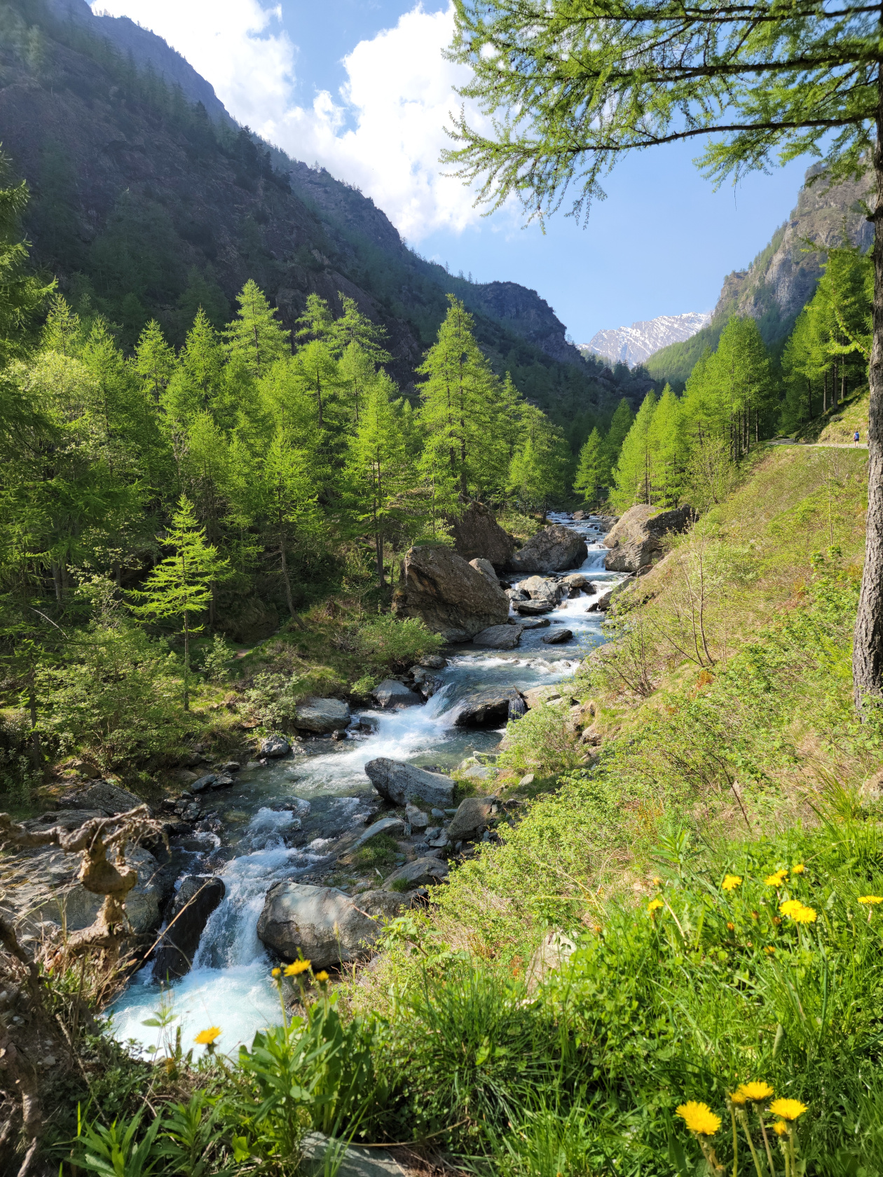
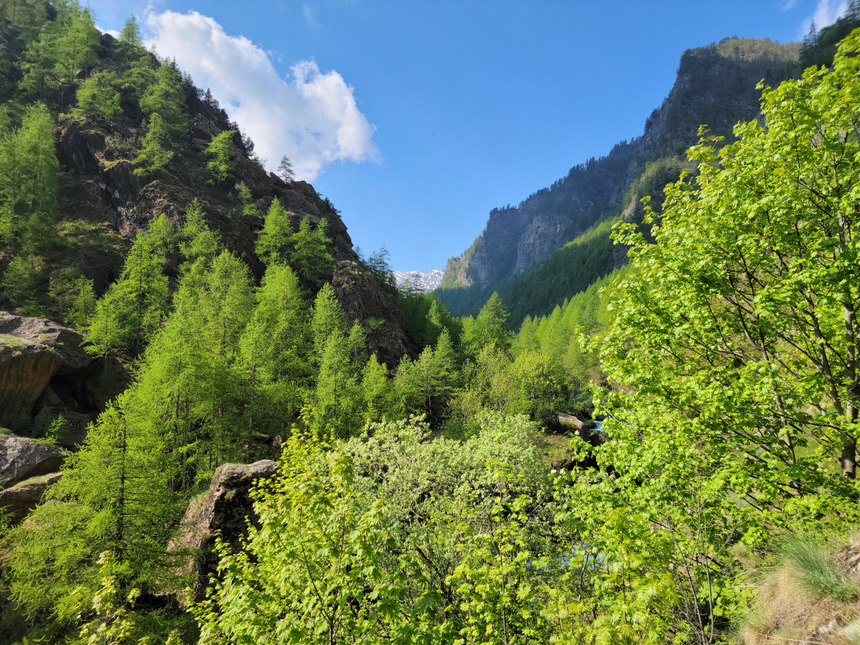
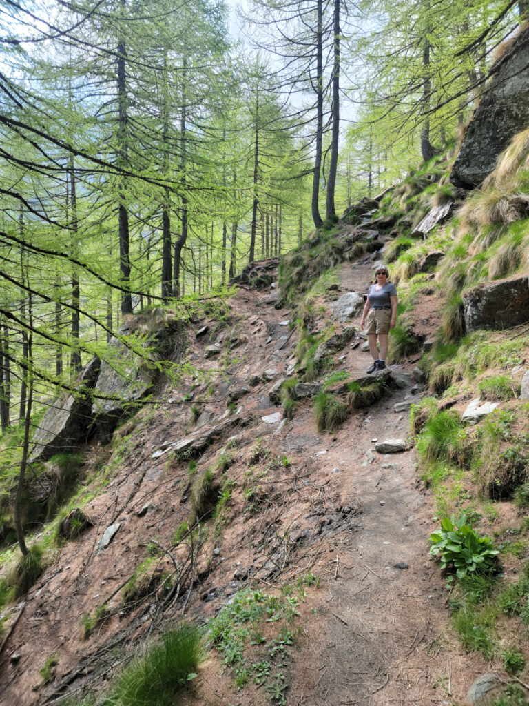
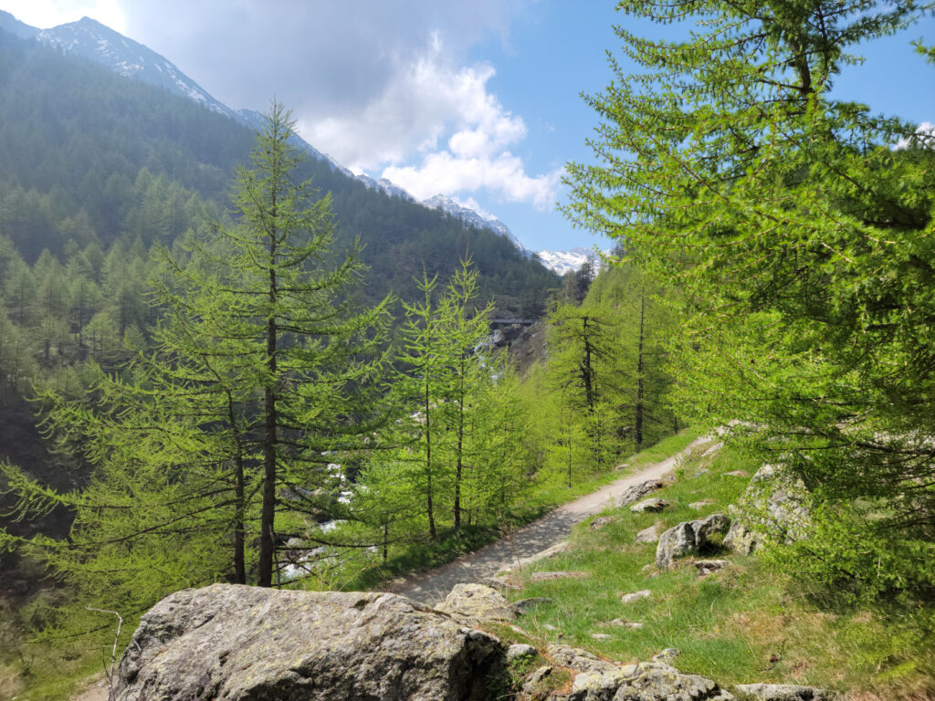
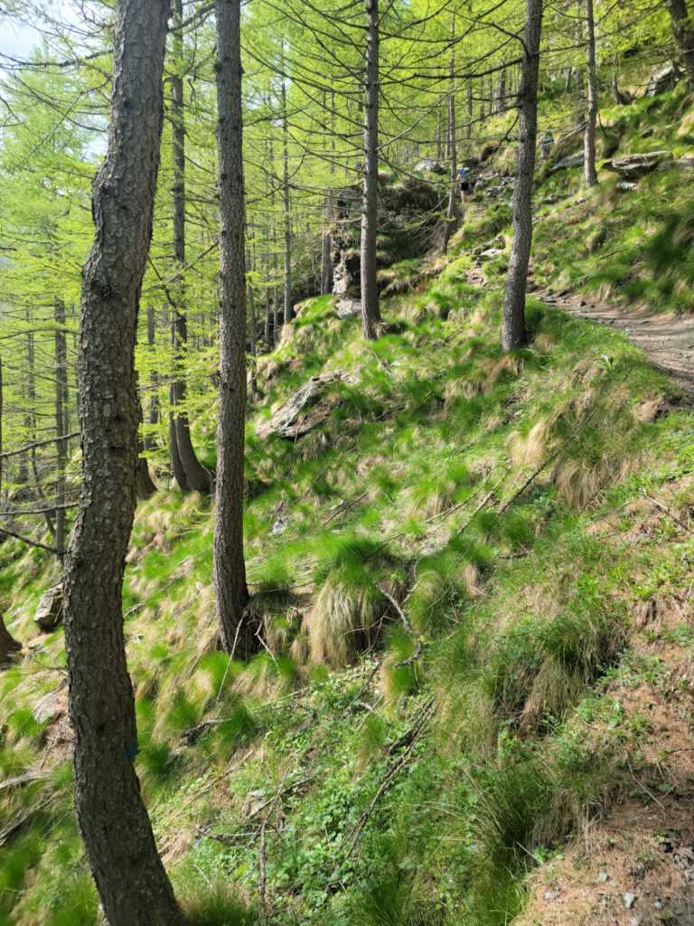
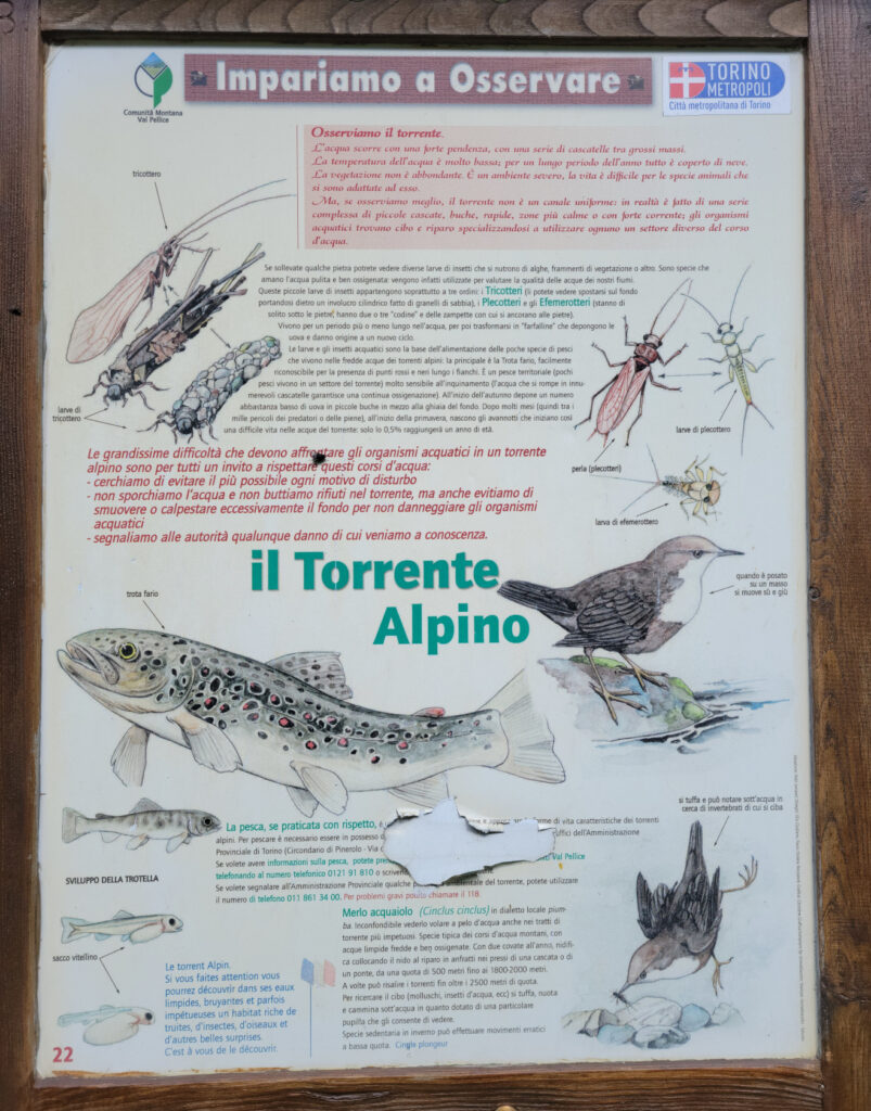
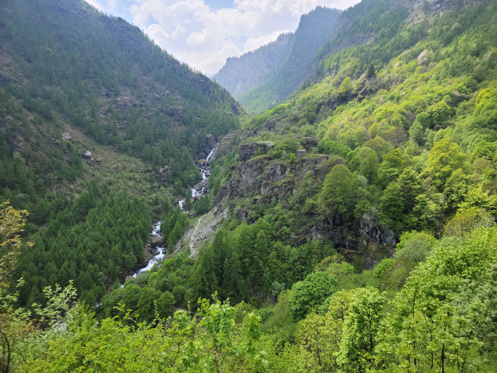
Once you start the climb, it goes up and down for quite a bit until it’s all uphill. There are several places where you have to take care and be very attentive, especially in the beginning and end, but the views and experience are well worth the effort. Unlike other climbs above the timber-line or through a forest, the Torrente Pellice provides both the white-noise to block every crazy little thought you might be having, as well as the solitude that anyone can use to reach a true calm in one’s life. But I imagine there are still those that walk as fast as they can just to get from point to point, and we actually saw a few.
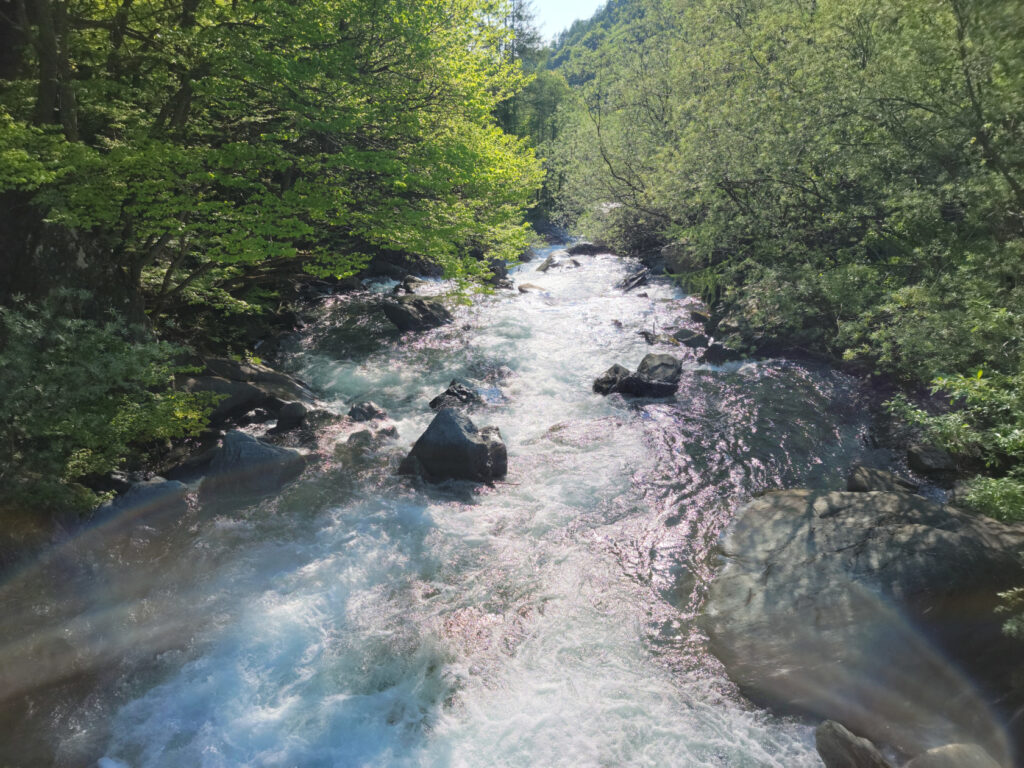
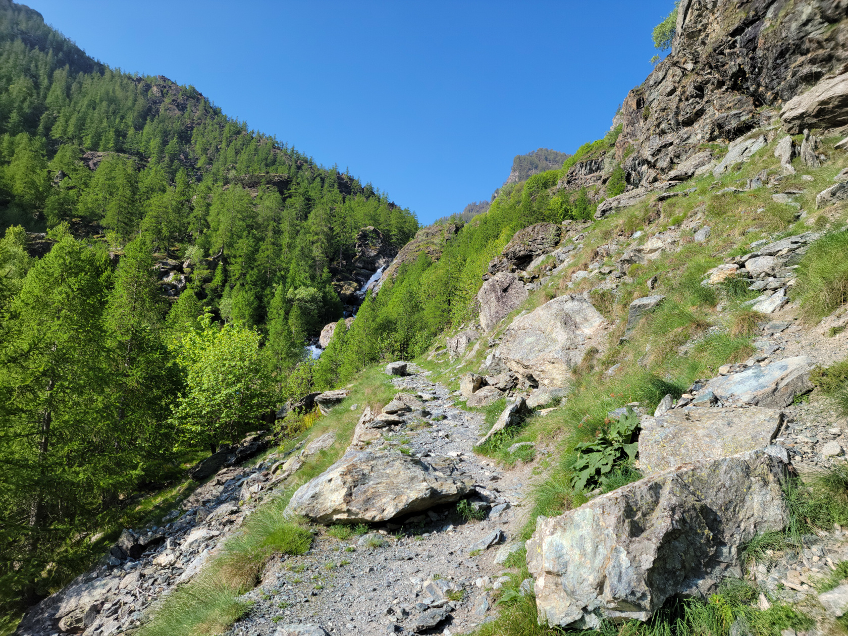
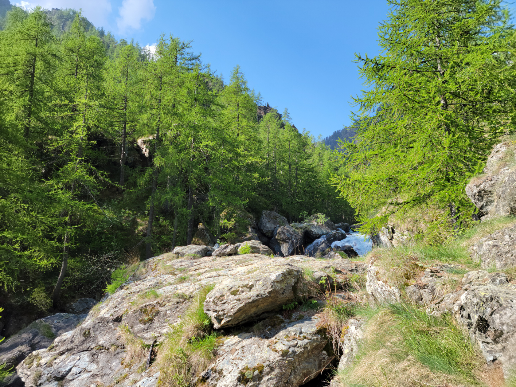
The trail at this point is rather quiet and not very torrential, but further up its character changes drastically. So we started, following a small road until we hit the actually trailhead.
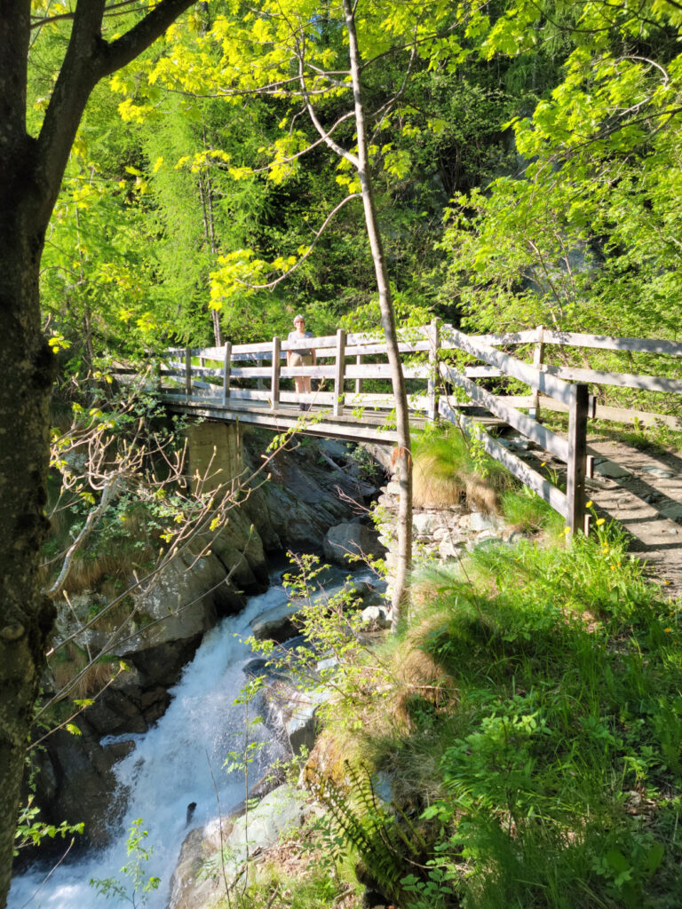
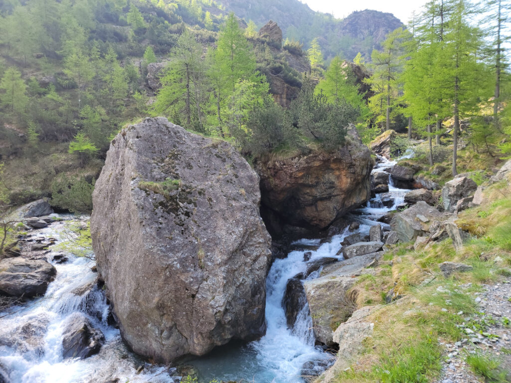
And that waterfall we saw from can be heard from where we were standing.
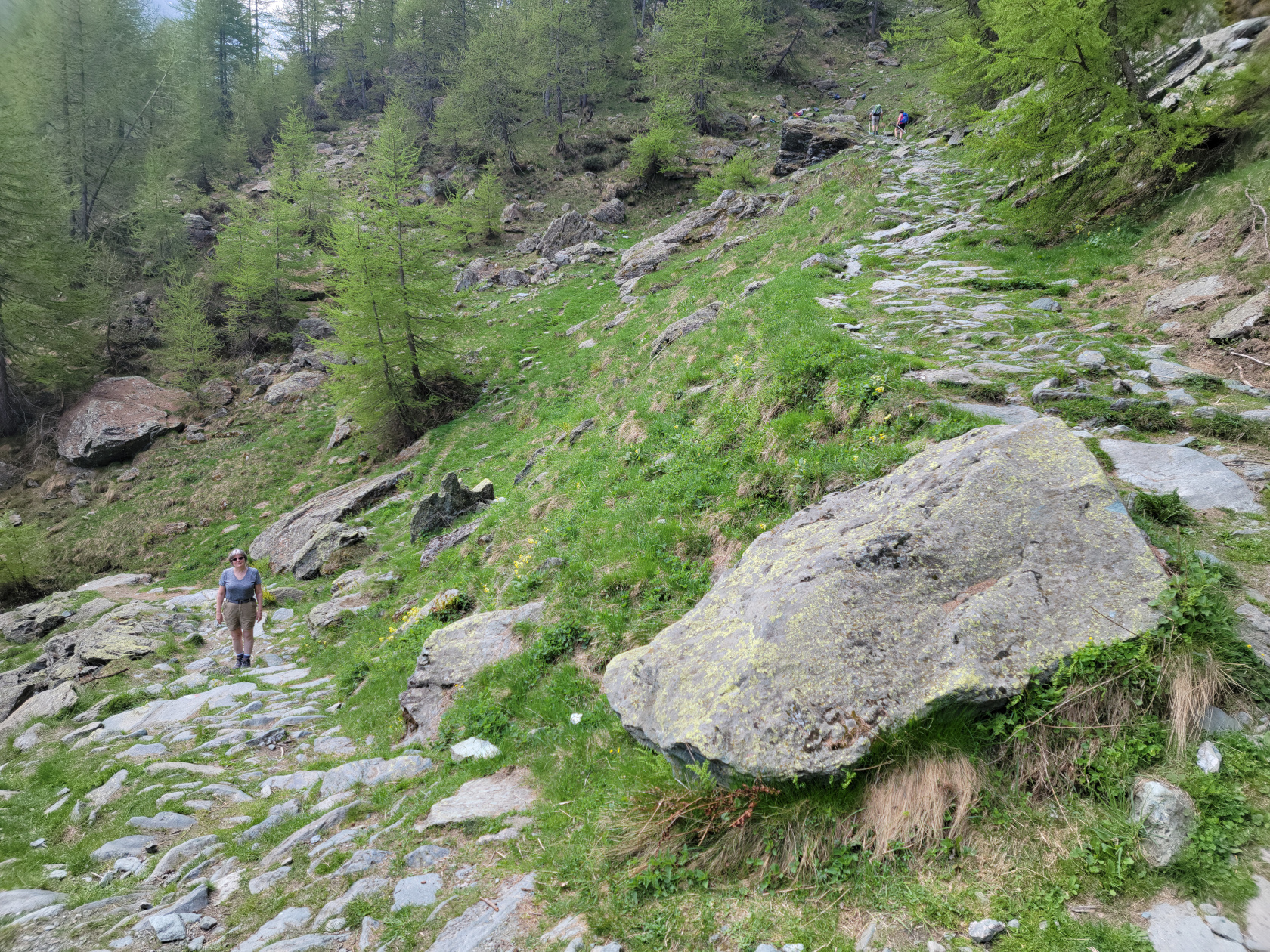
The trail is actually paved with heavy stones most of the way and starts down, instead of up. However, that does not last long.
If it weren’t for the absolutely gorgeous weather, we might have reconsidered our decision. The rocks that pave this trail are very slippery and well worn and are most likely very hazardous when wet. However, we remained steadfast and undeterred and pushed on, even with the frequent stops for photographs.

We also frequently stopped for a few videos too, just to record the noise of the water moving, which at times was thunderous.
We passed several places where water was coming in from other tributaries, mostly in the form of these beautiful waterfalls.
And the actually hear the real thing, a short video.
After all that water, the trail kicked up rather steeply. Not that it was a problem, but you did have to watch your footing. Some people hiked with poles, which is definitely a good option, but I find them noisy and annoying and prefer listening to the wind, water and any birds I can hear.
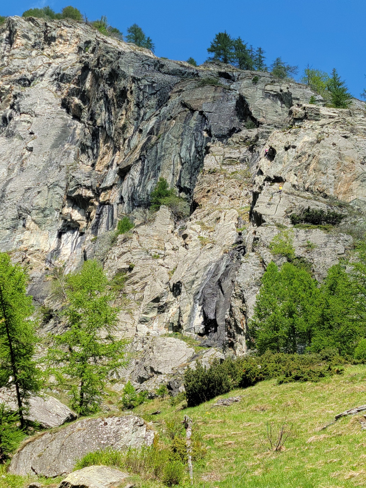
Just as we were about to finish our climb, we ran into a class of young rock climbers and their teachers. Speaking several languages and very close to the Italian-France border, they were obviously making a day of it. They all had brought a backpack with them and those who were not climbing were running around like mountain goats.
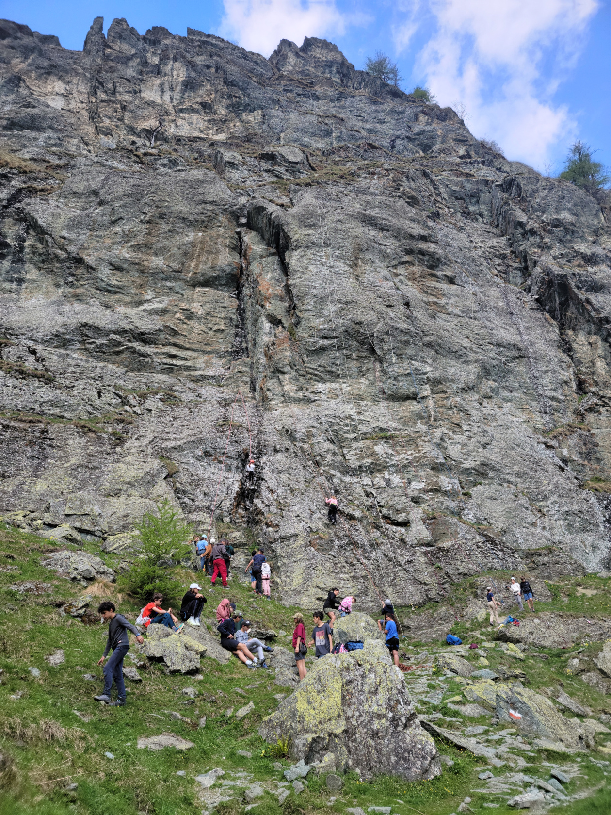
The trail was actually pretty steep right were all the climbers were, so we had to take our time to move through them as they were belaying.
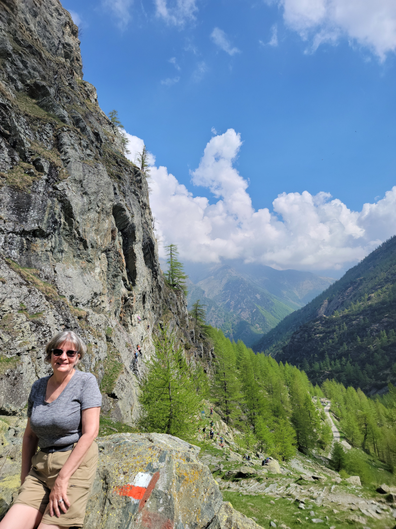
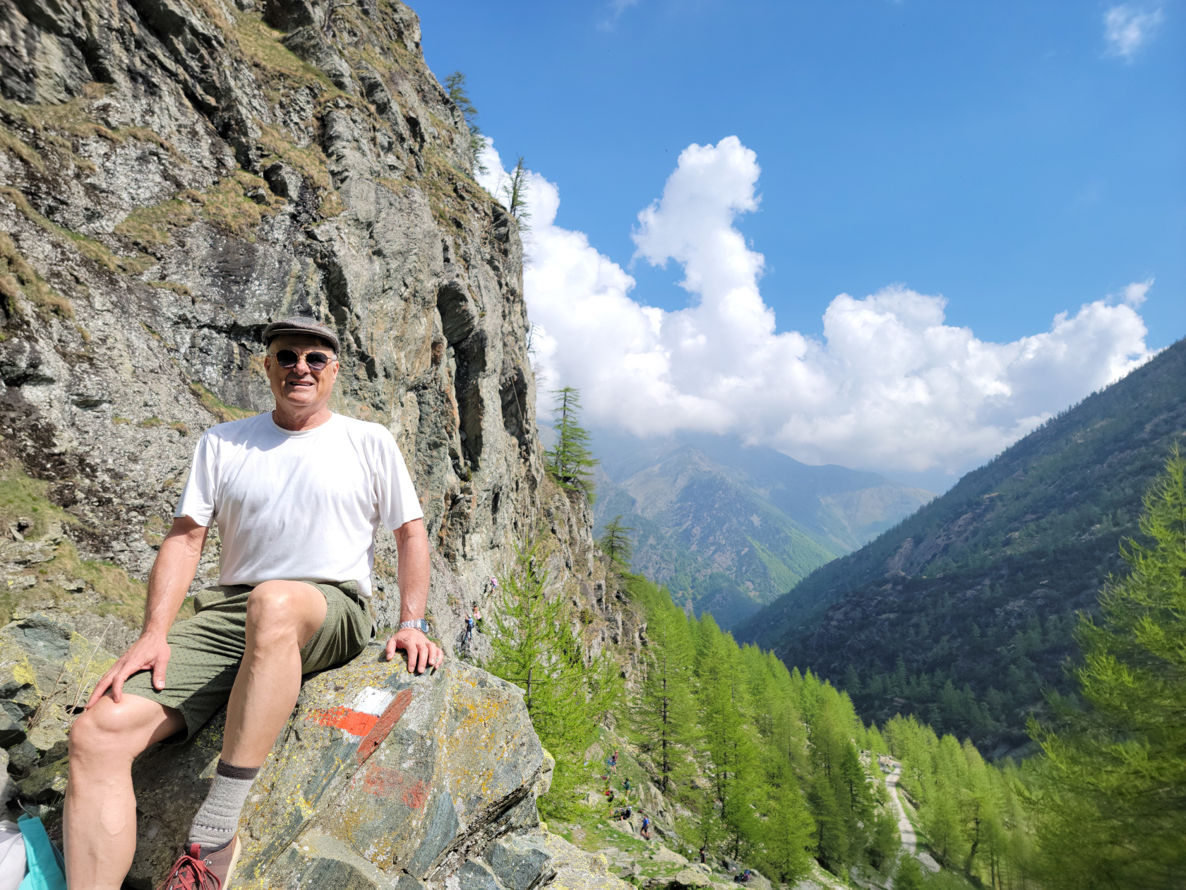
After a few photographs, I actually turned around to take a short video of the climbers, since some of them seemed quite adventurous and adept at the skill.
The upper alpine valley where the refuge is, was a big change from following the river all day. There are marmots, birds and the sound of insects everywhere, but then again, it was a beautiful spring morning.
On the way down we took a slightly different route, keeping to the access road more, mostly due to the threat of bad weather. It appeared there were several thunderstorms possibly brewing. So, not wanting to be cold and wet on a trail in the high alps, we decided to descend early and quickly, instead of waiting for pranzo at the refuge, which probably started at twelve noon sharp.
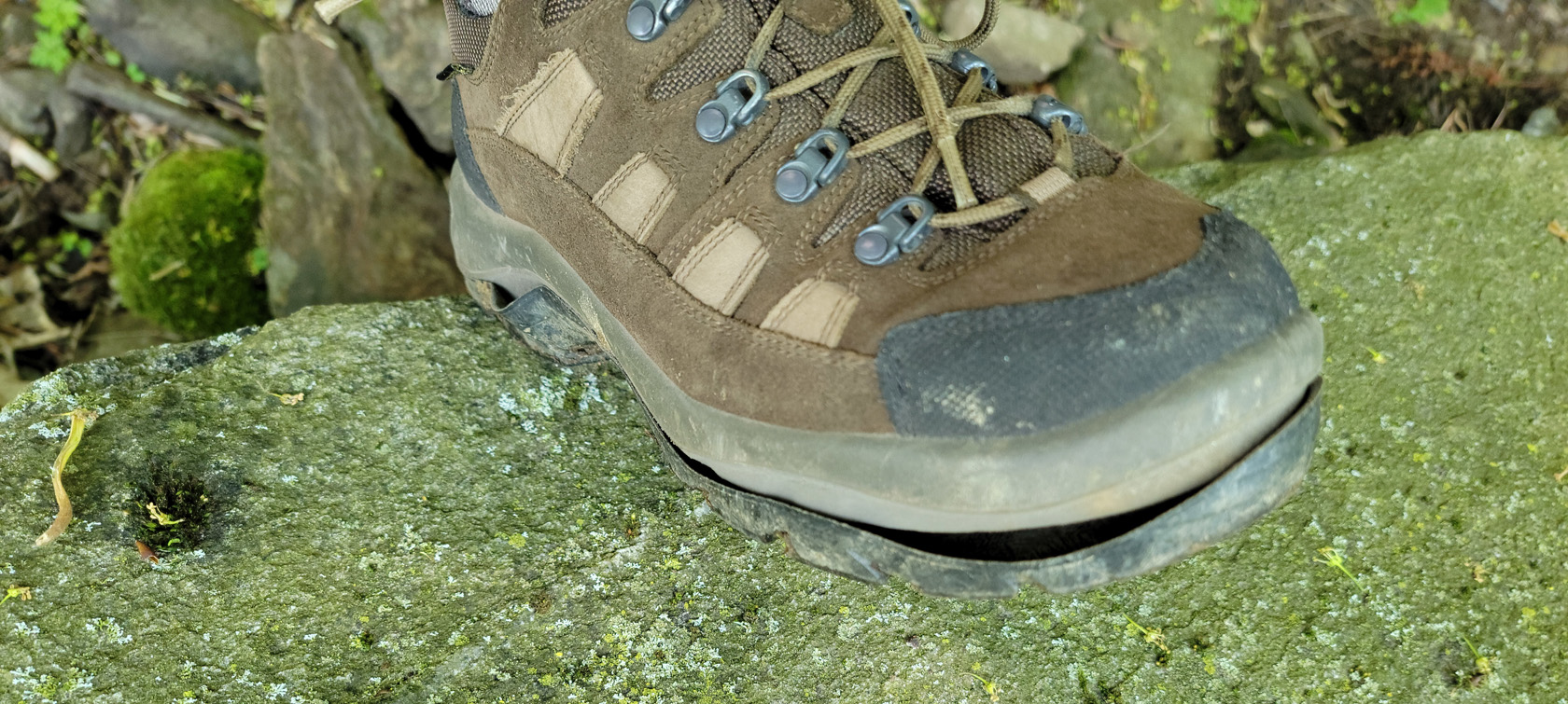
At the end, we both thought it was an amazing climb by all accounts. If you ever have the occasion to make the climb to the Rifugio Willi Jervis, I would suggest starting in the morning, especially if you are taking photographs, the morning sun is just perfect for such an undertaking. Oh, and buy a good pair of boots! I had purchased an ostensibly good pair of hiking boots from L.L. Bean in the States, only to have this happen the day before this hike on the Pista Bassa.
If you are interested in our trail map, see the image below. Or, while using standard and accepted security practices, feel free to download the PDF here.