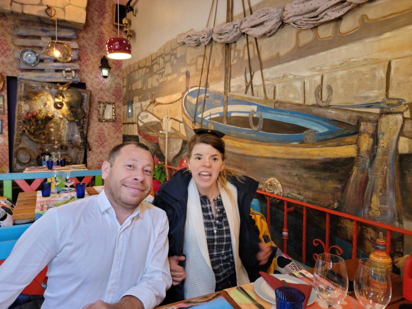
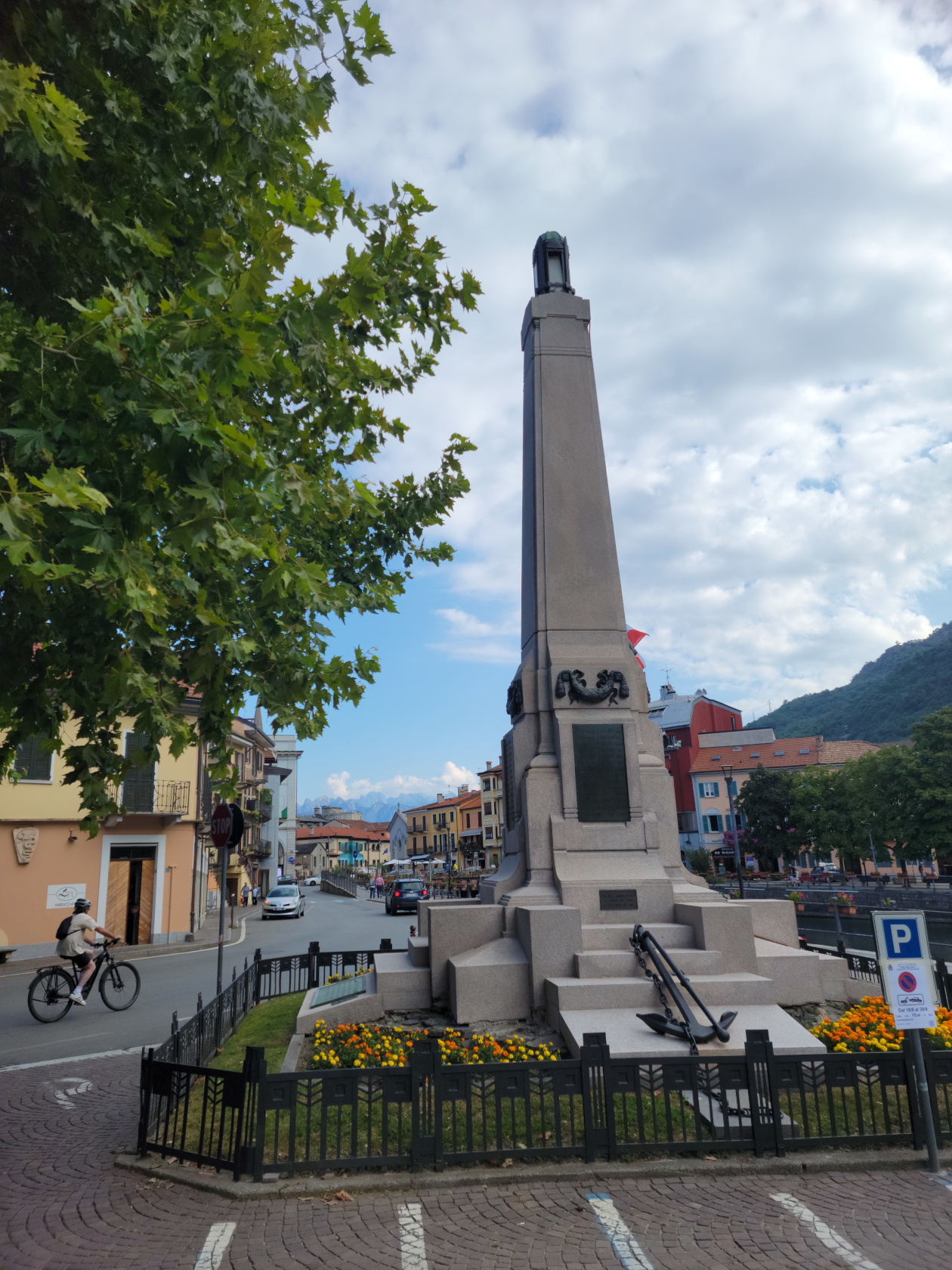
Syracuse, Sicily – Ash And Puppets
Syracuse
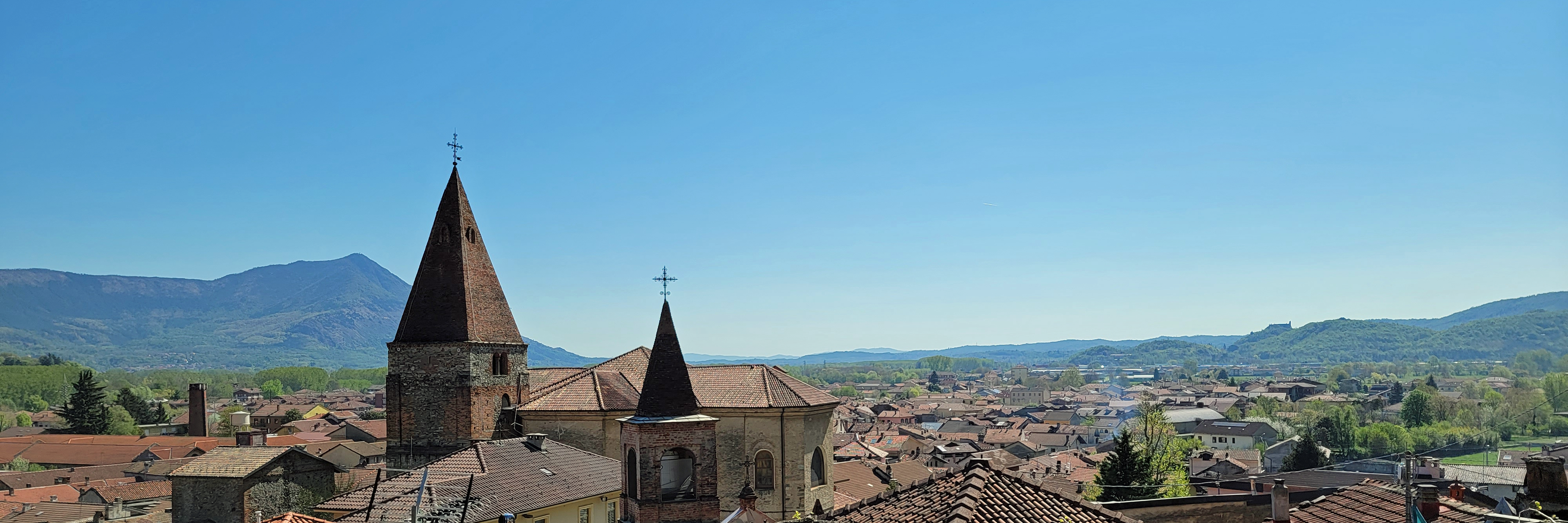
Syracuse, or Siracusa as you will find it readily marked throughout the island, is one of the first places of historic significance within Italy. It was inhabited in ancient times and finally settled by the Greeks in the early eight century BCE.
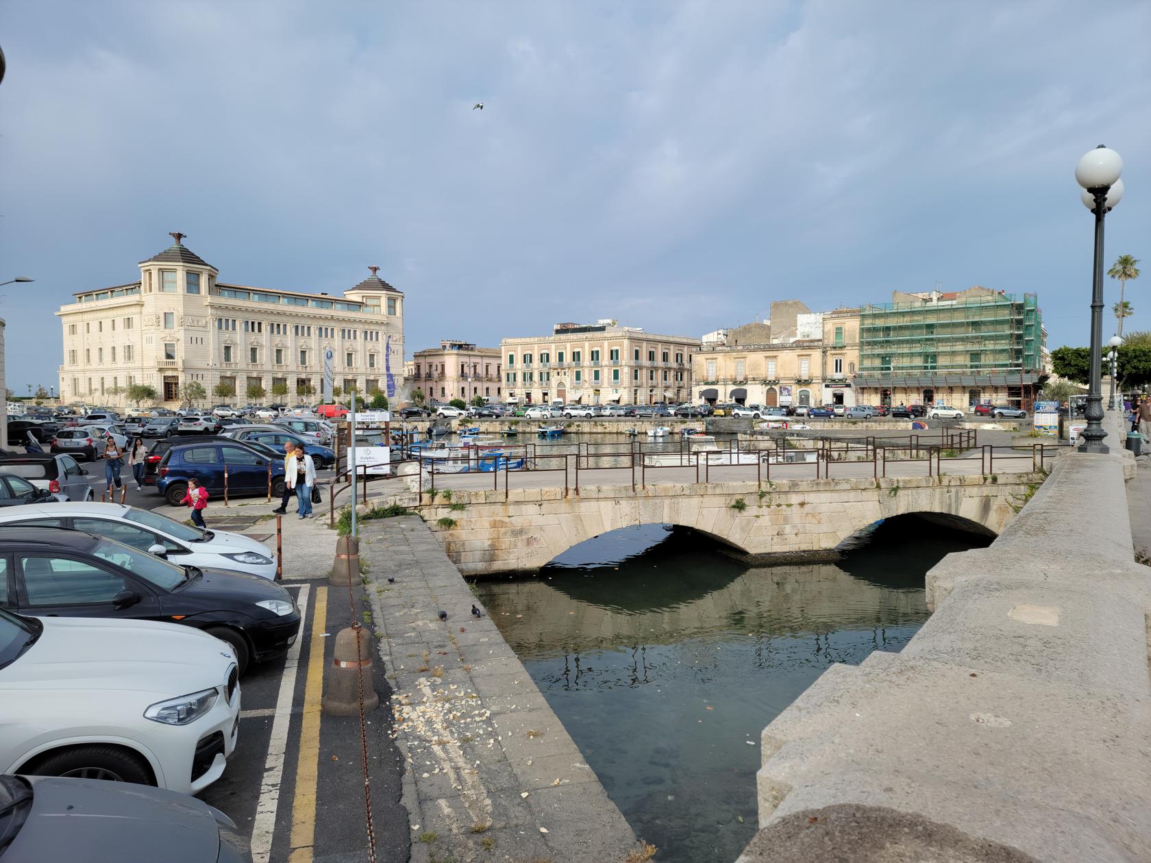
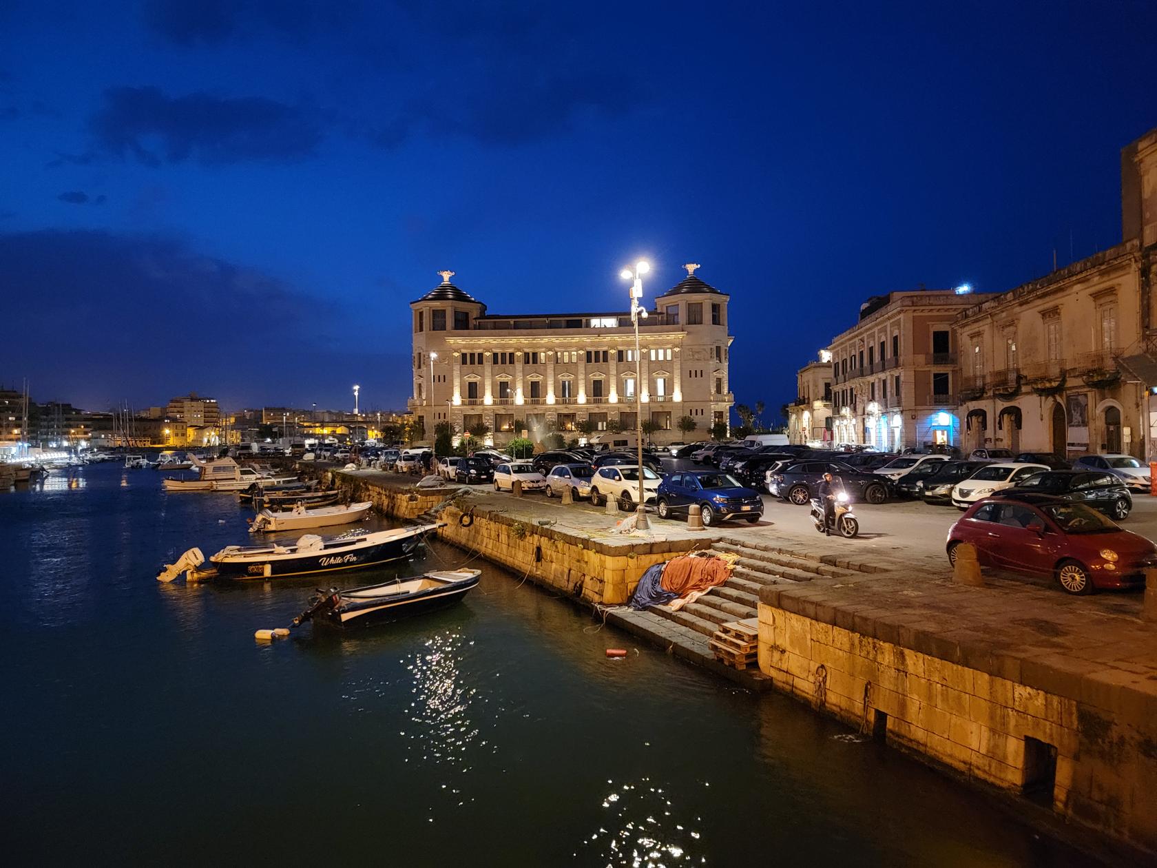
The original settlement of the Greeks was on the small island of Ortigia, which still contains several historical and archaeological artifacts from the Greek and Roman periods. See the Ortigia section below for more on that part of the commune and city.

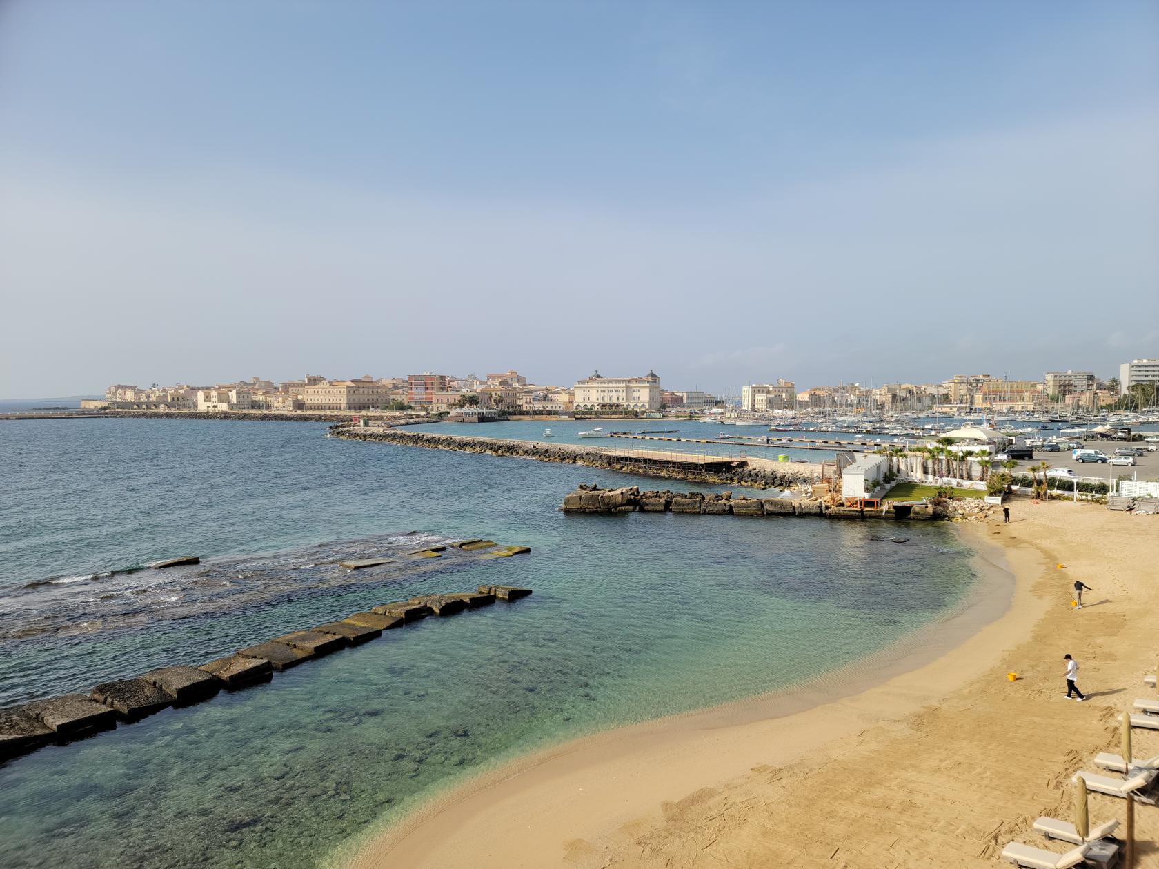
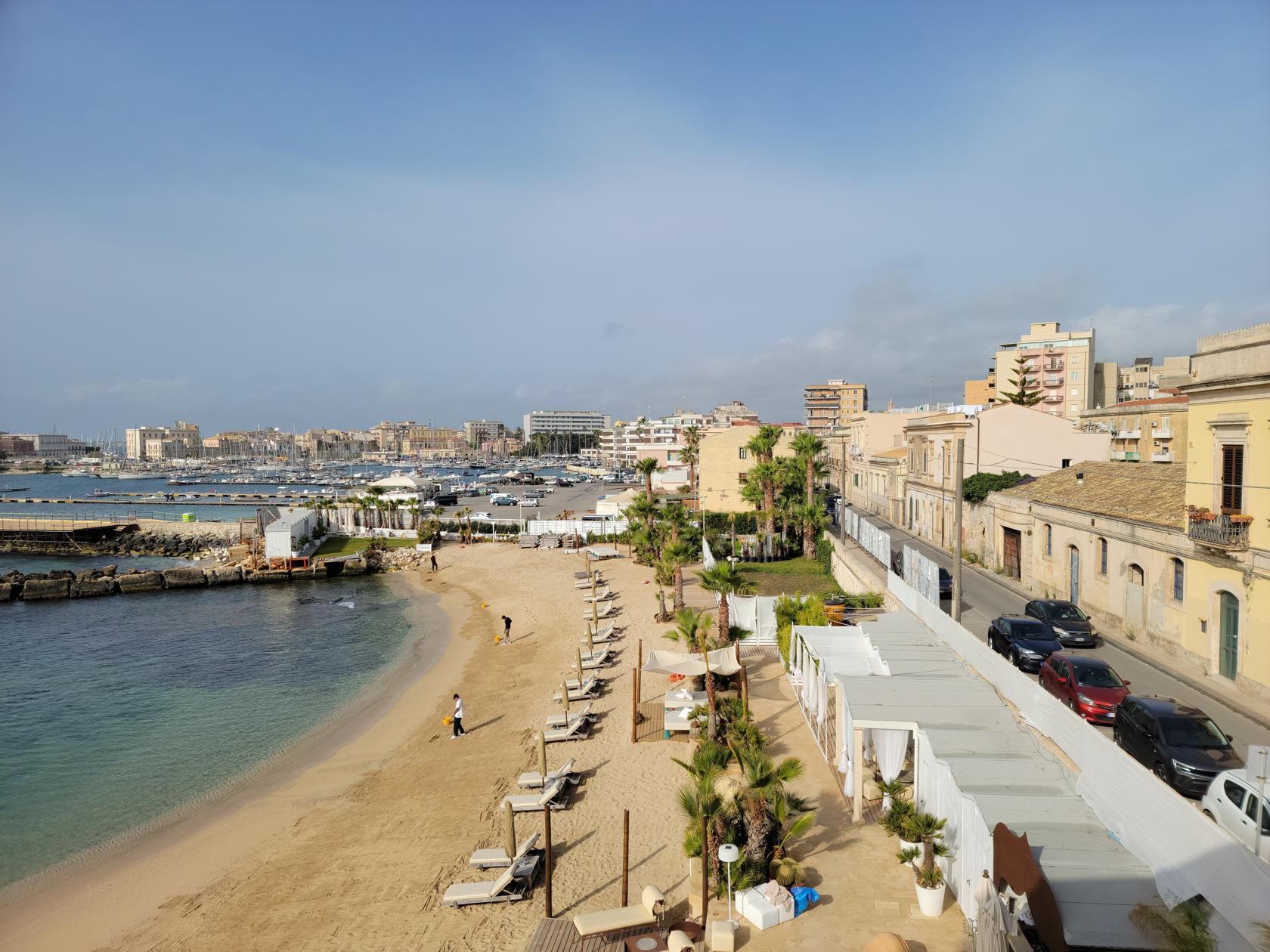
Syracuse is divided into three main parts, Ortigia the island and original Greek settlement, Santa Lucia along the coast and the location of our hotel, and the Neapolis the location of the major Greek and Roman ruins .
If you are at this point wondering what ash and puppets have to do with Sicily, and in particular Syracuse, read further. Otherwise, just rest assured it has everything to do with being on this quaint and wonderful island.
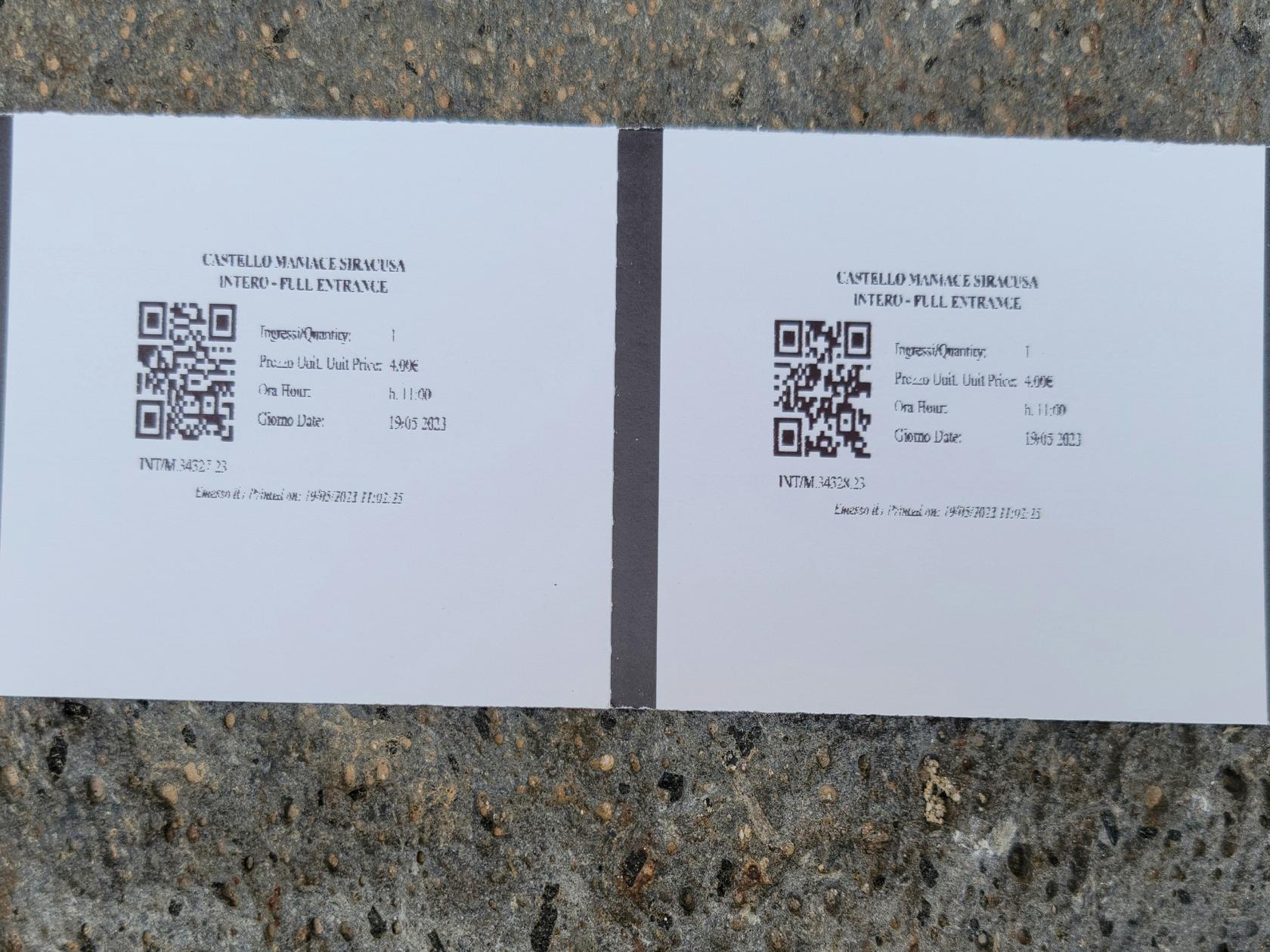
Note: Purchase the Museum and Park Combination Ticket at 18€. If you purchase them separately, it will cost you an extra 8€. The combination ticket will get you into both, with money left over for a light lunch.
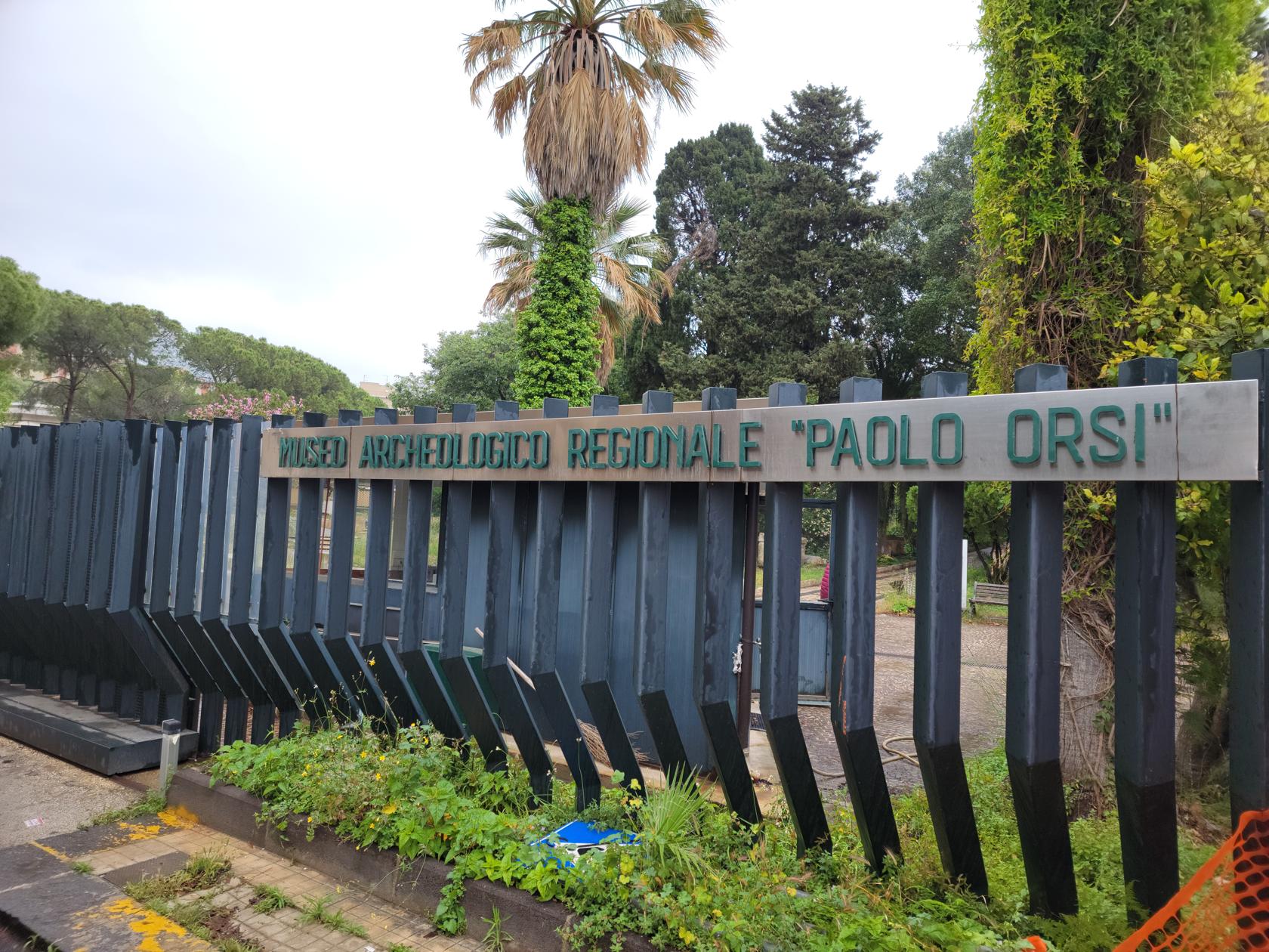
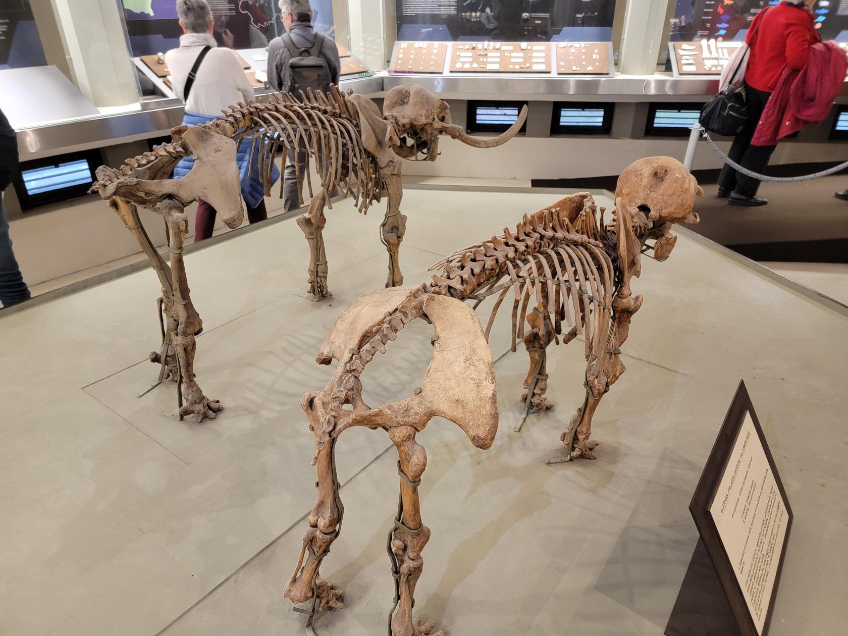
Archaeological Museum
The Archaeological Museum is an impressive collection of ancient, Greek and Roman artifacts dating back to the seventh and eighth centuries.
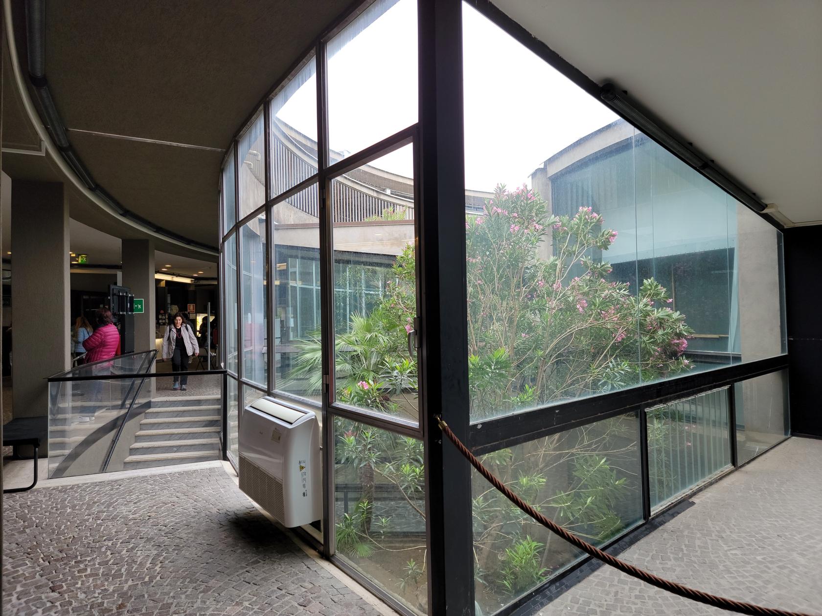
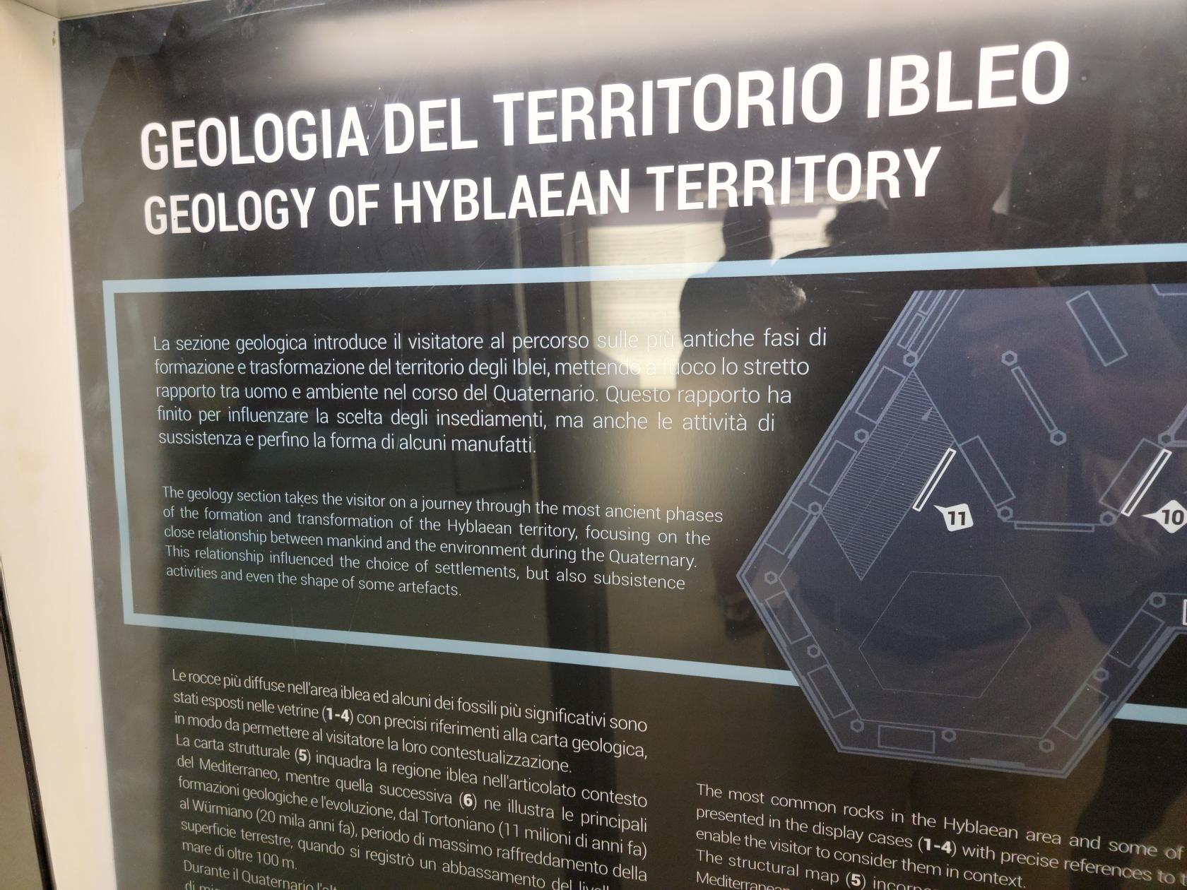
The museum handles each time period in a sequential fashion, starting with the ancient period of the pre-historic animals and tectonic changes to the area, all the way to the arrival of the Greeks and other colonial powers.
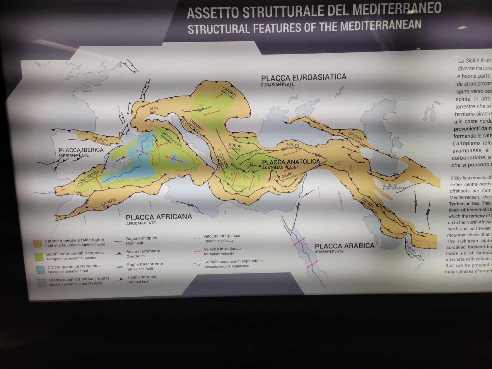
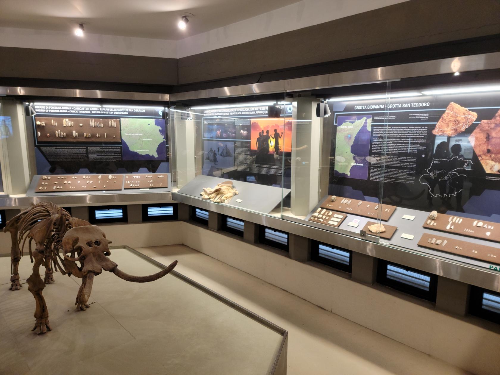
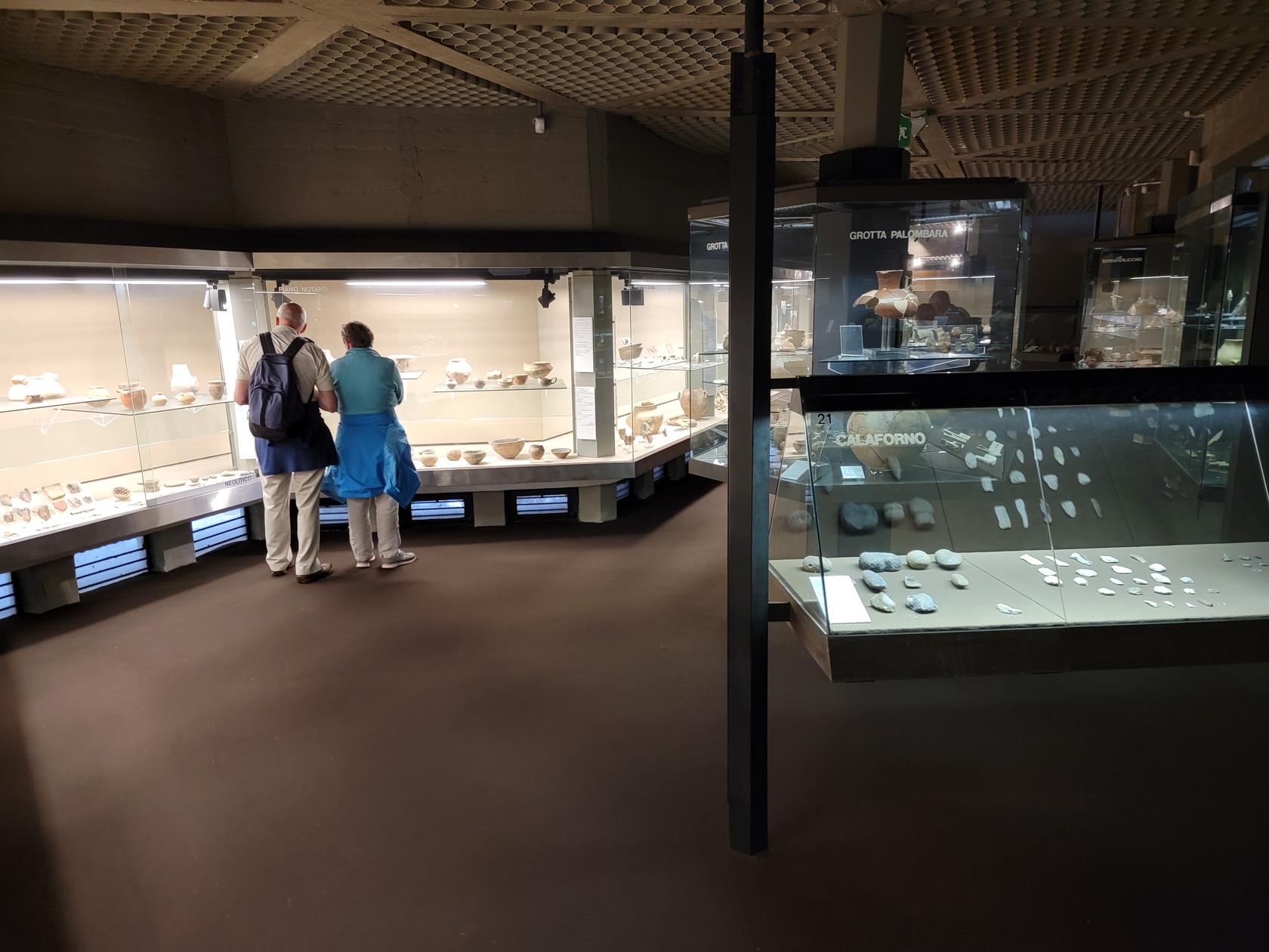
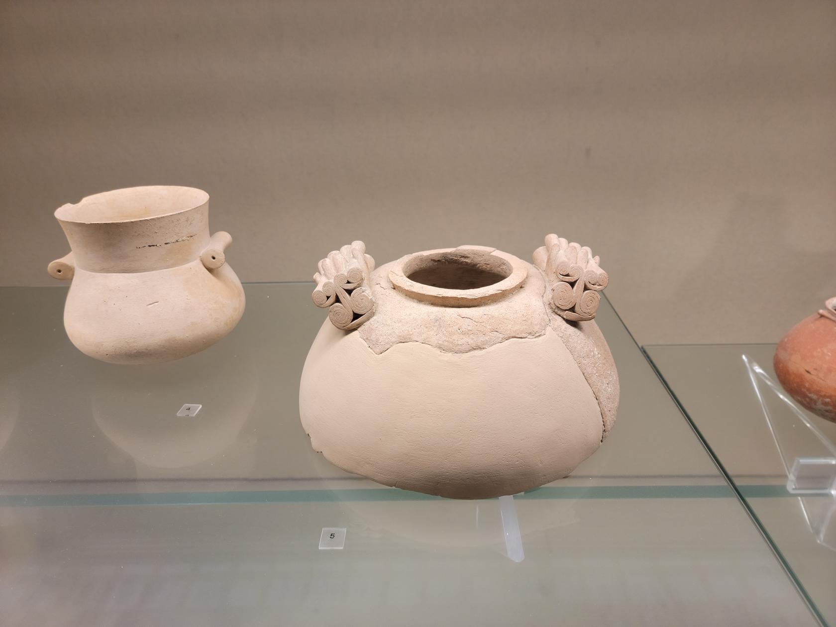
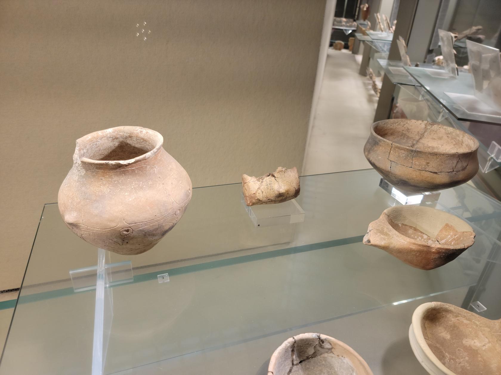
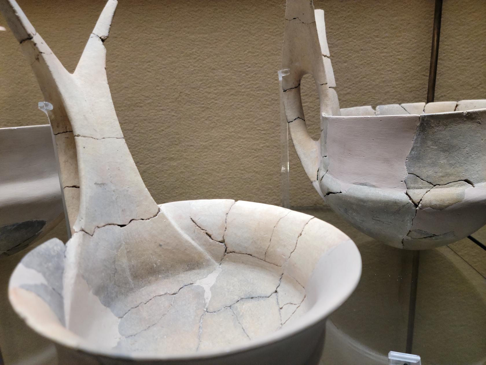
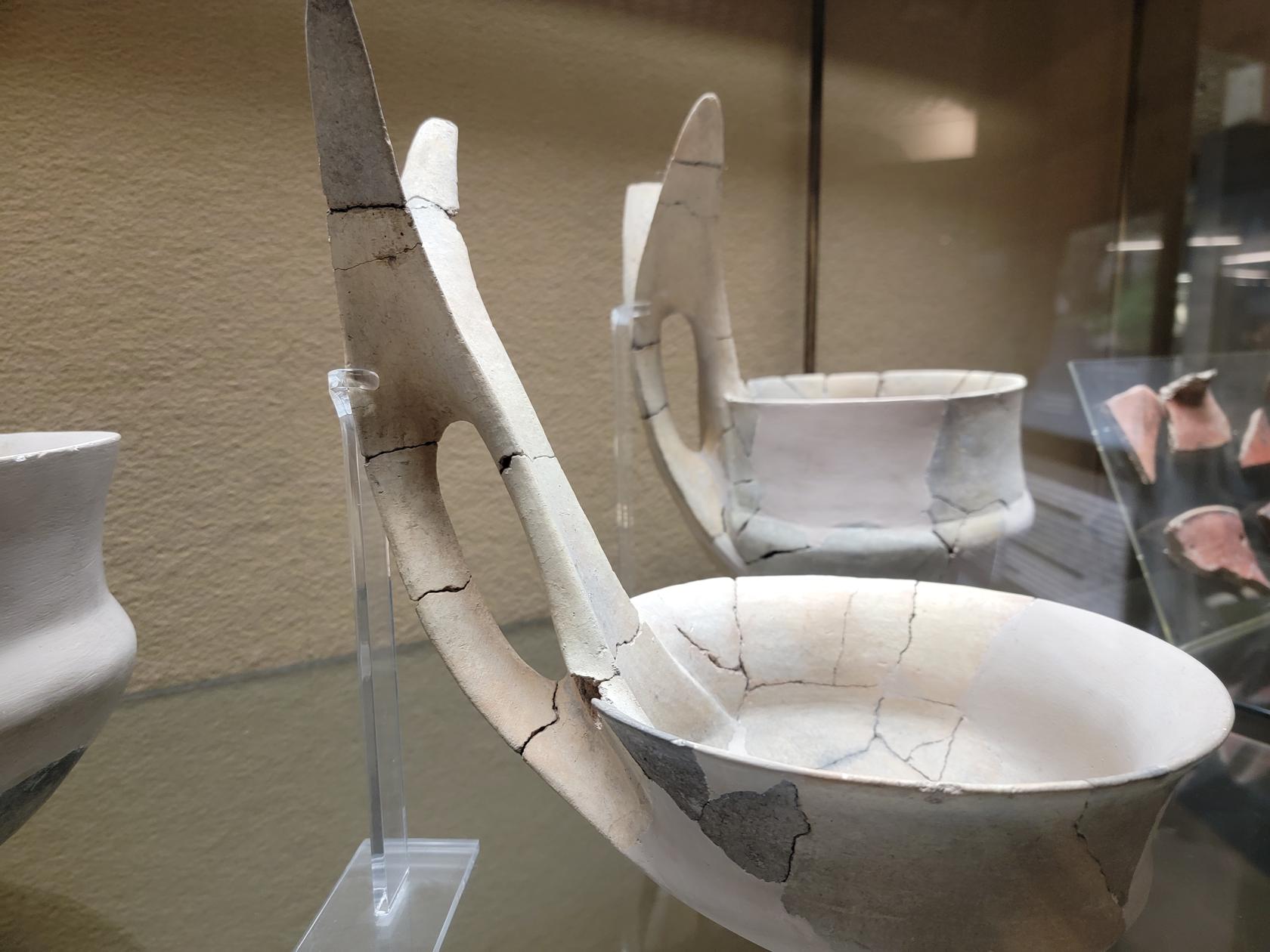
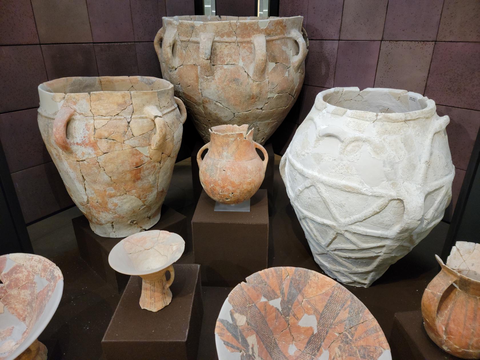
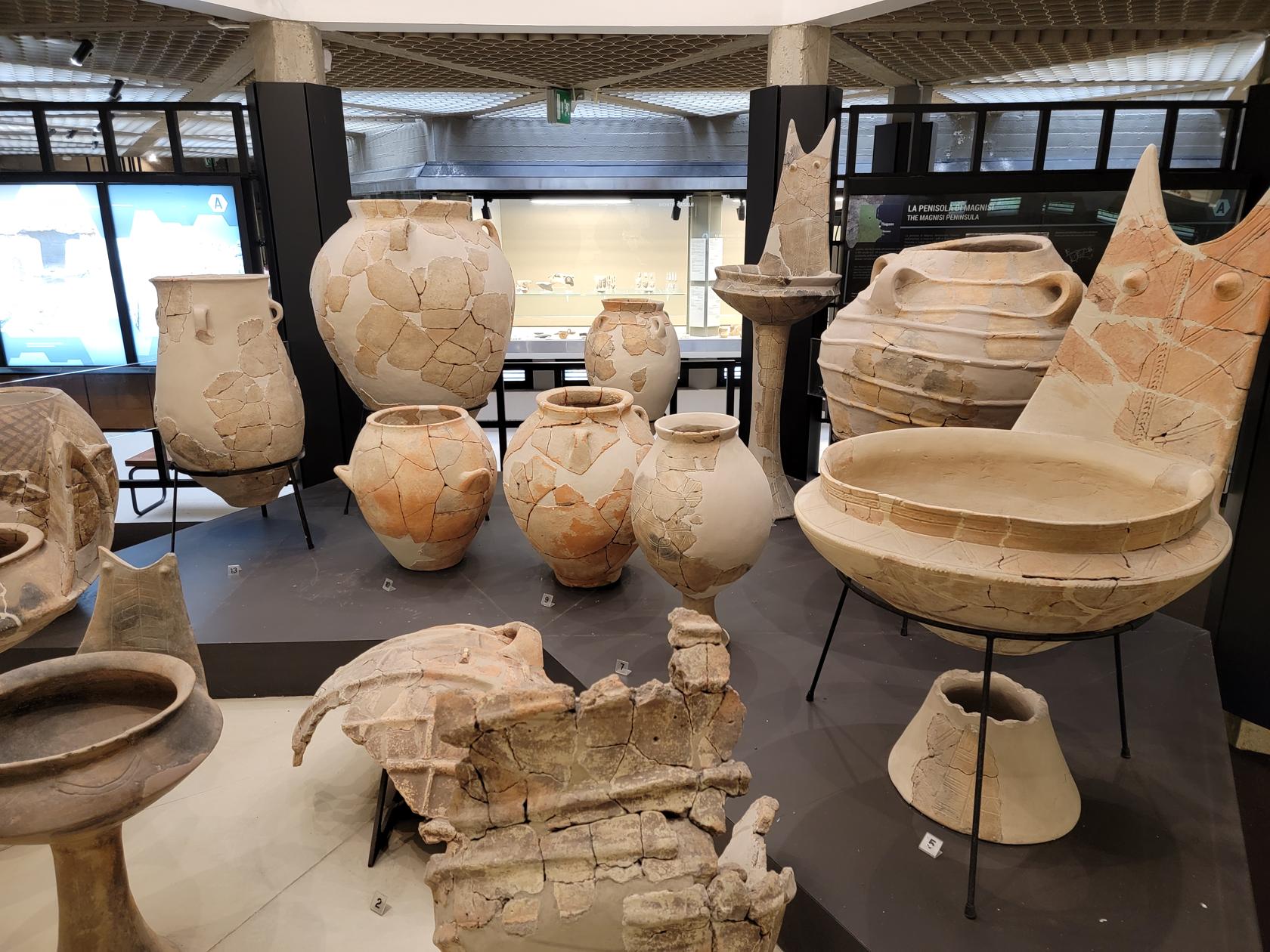
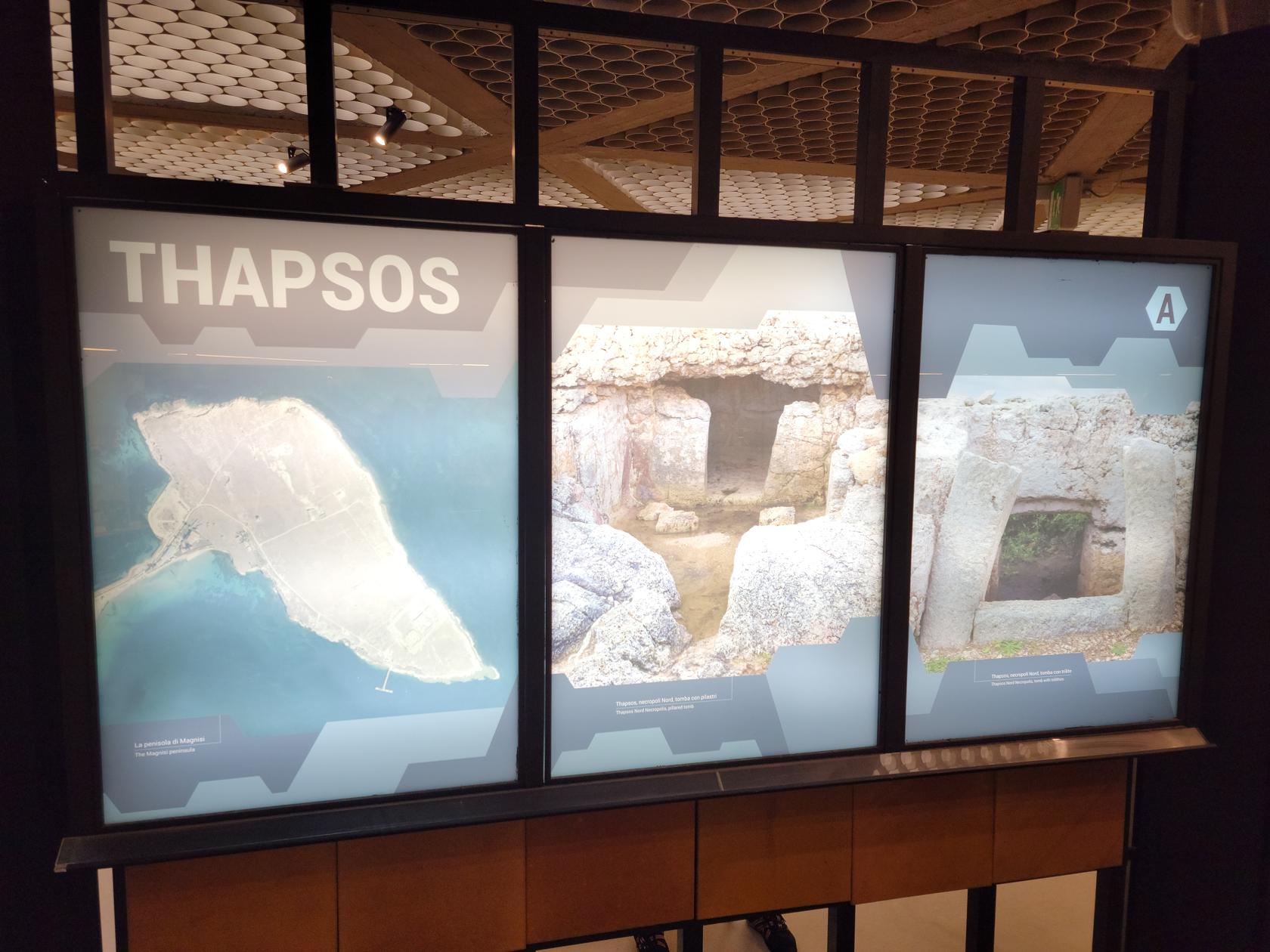
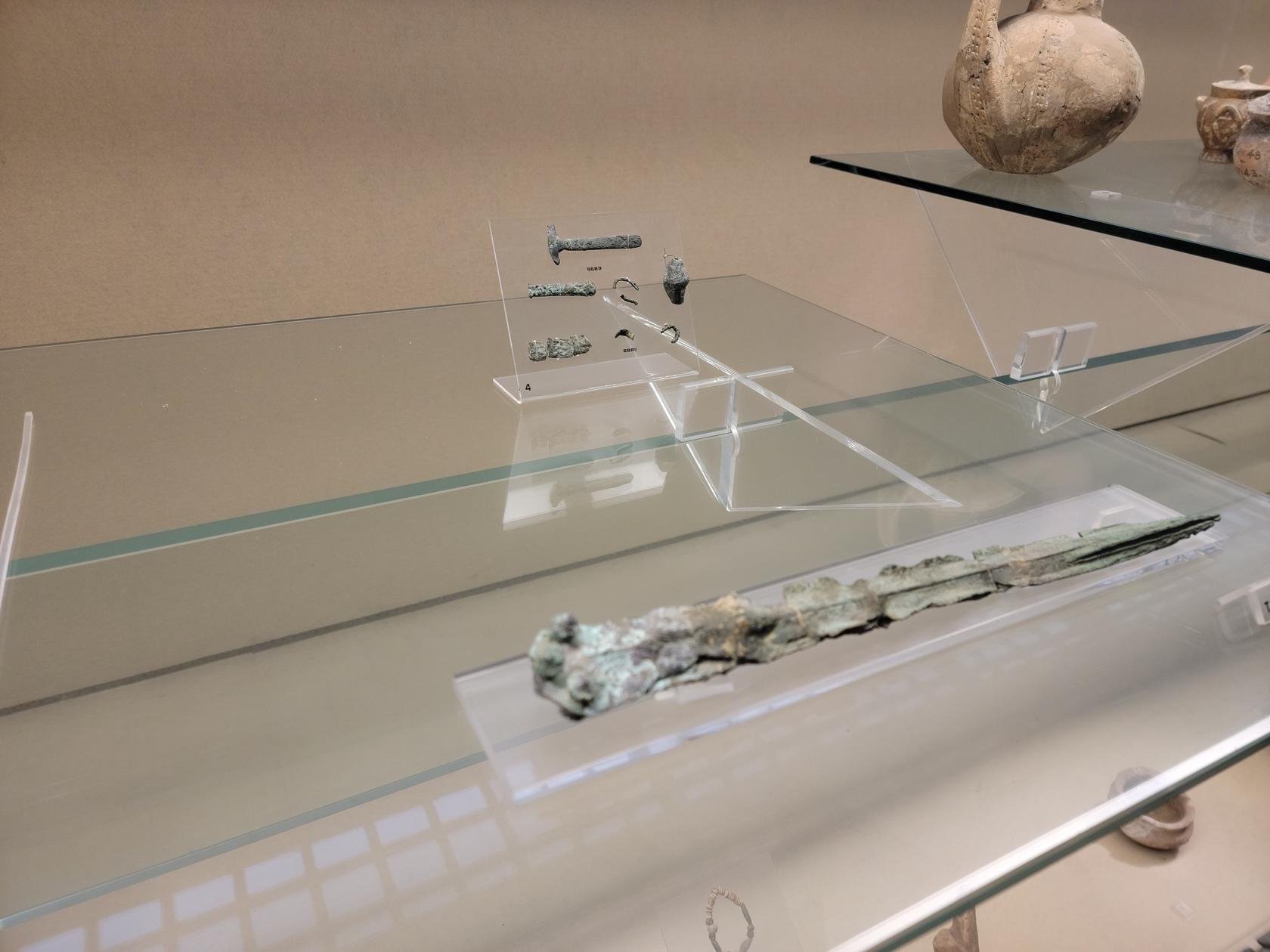
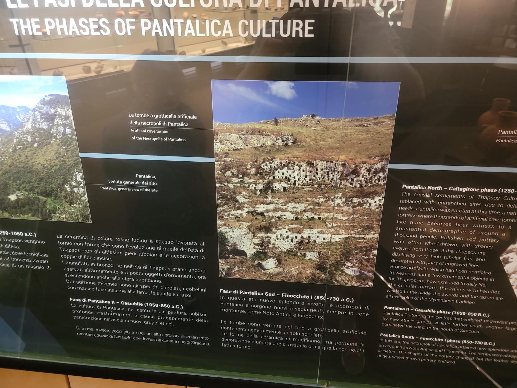
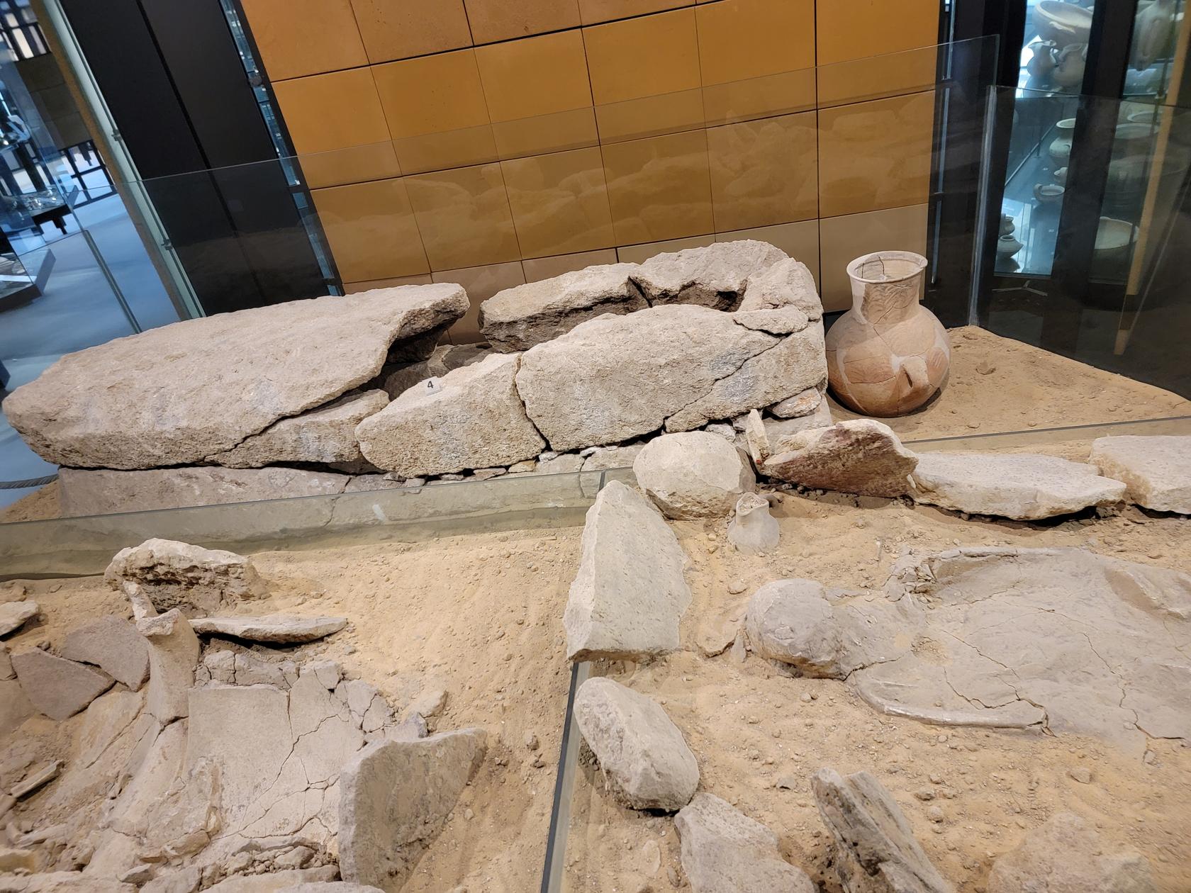
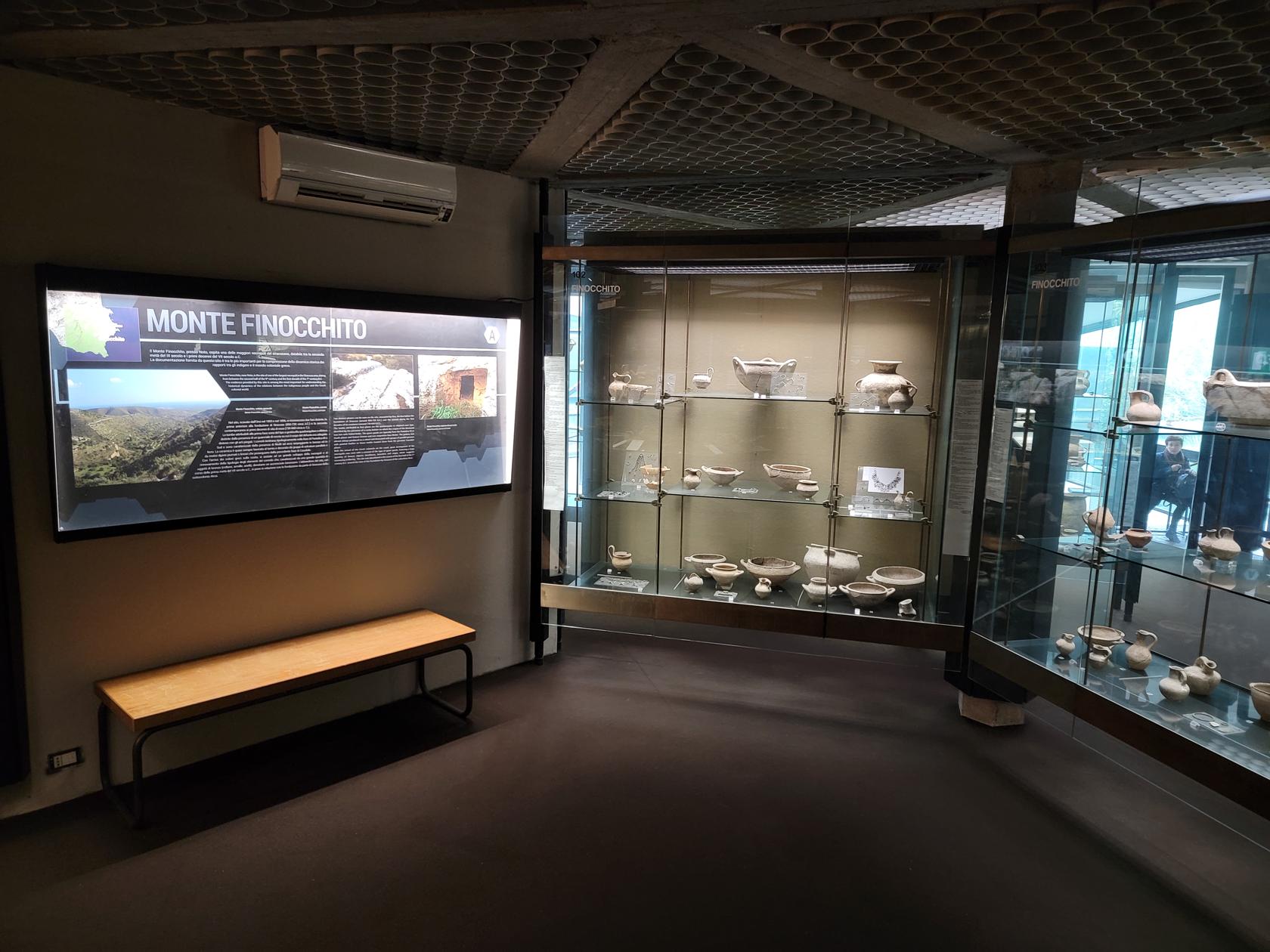
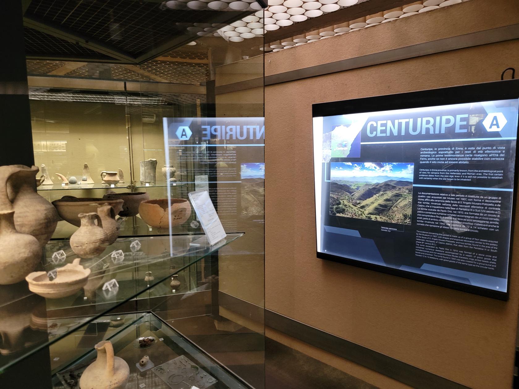
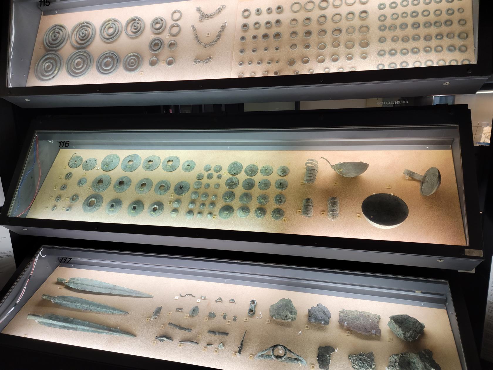
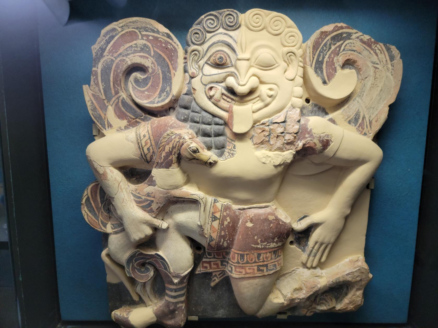
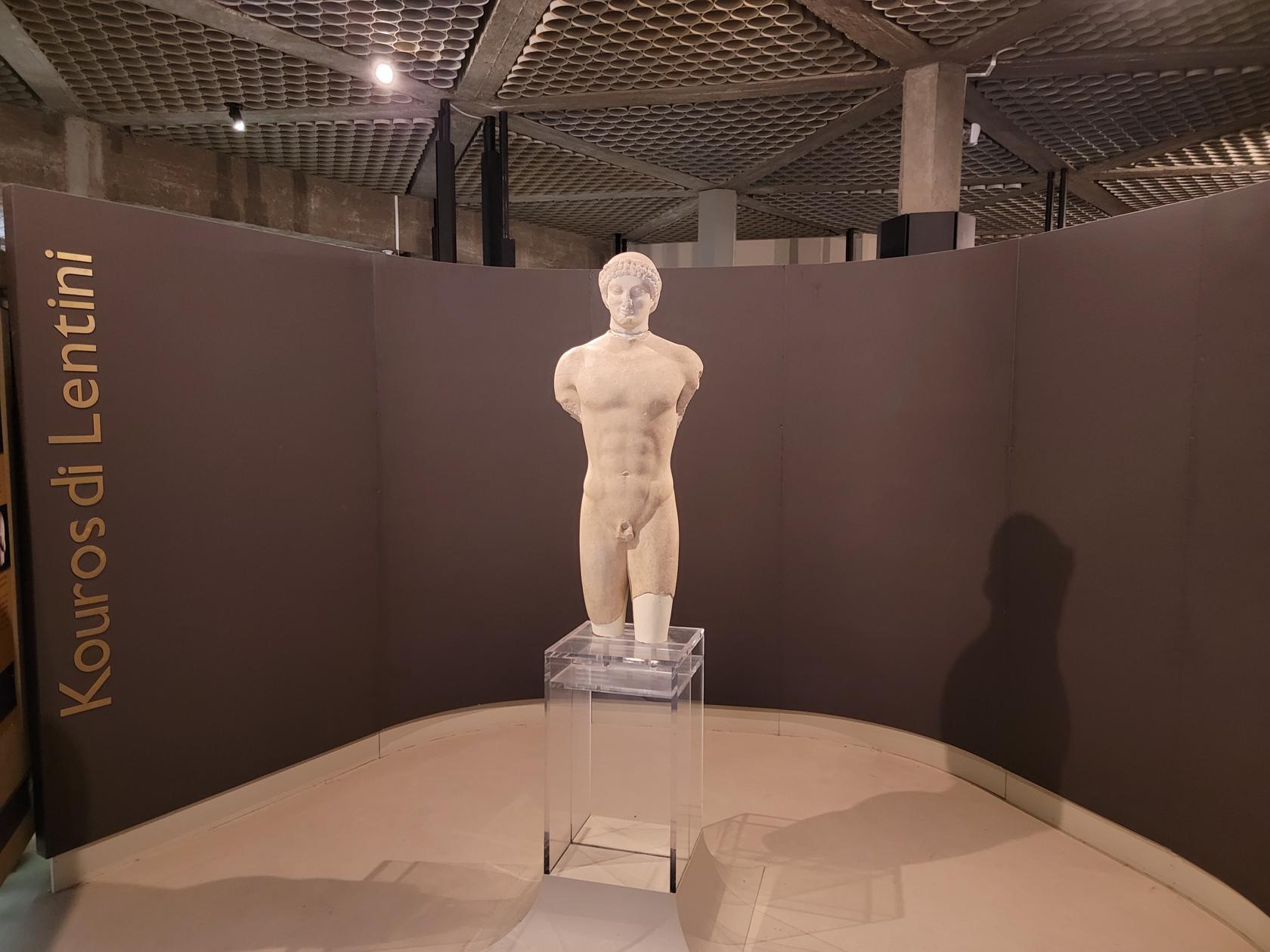
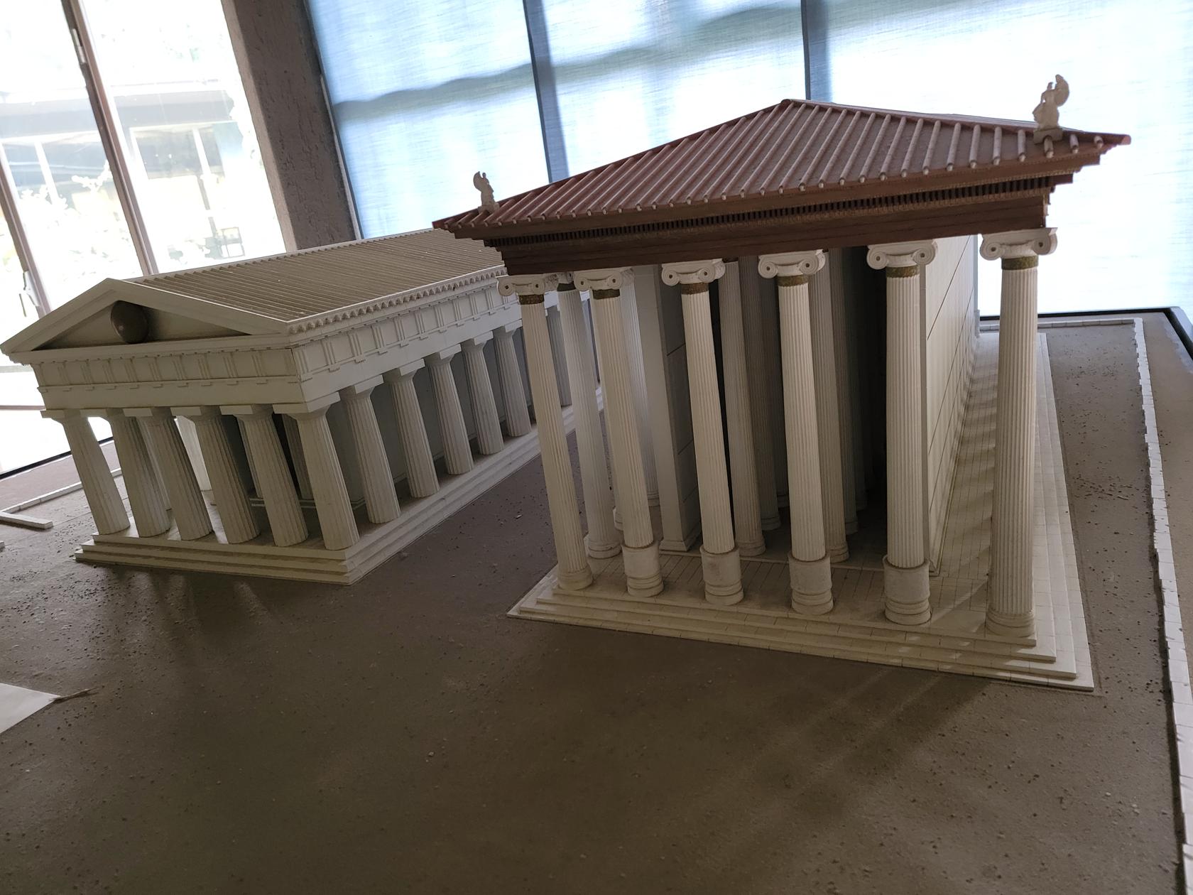
More than one area within the south-eastern coast of Sicily is addressed, as well as other major areas to the north and in the center. In all, the museum provides an excellent historical picture of the island of Sicily.
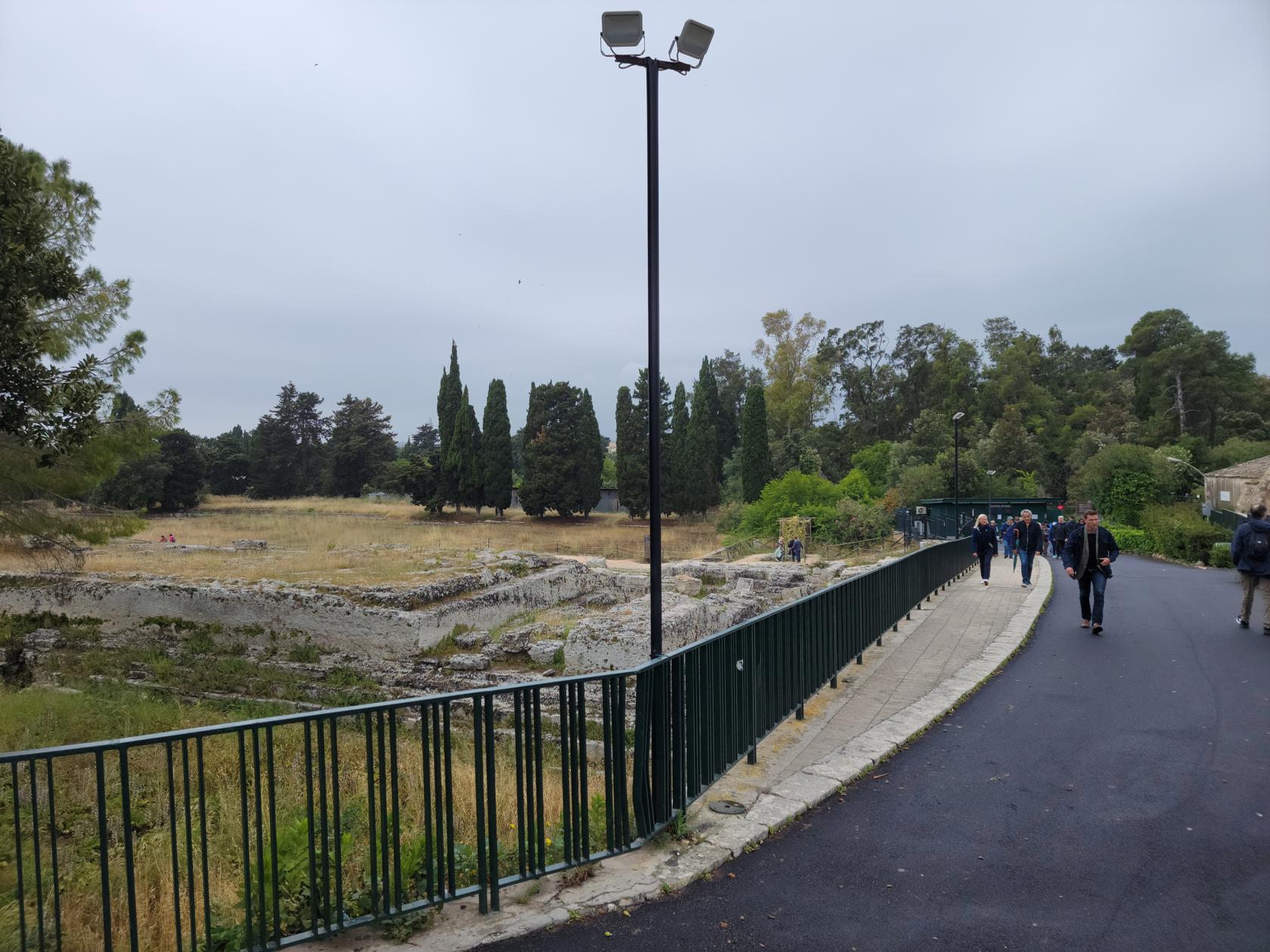
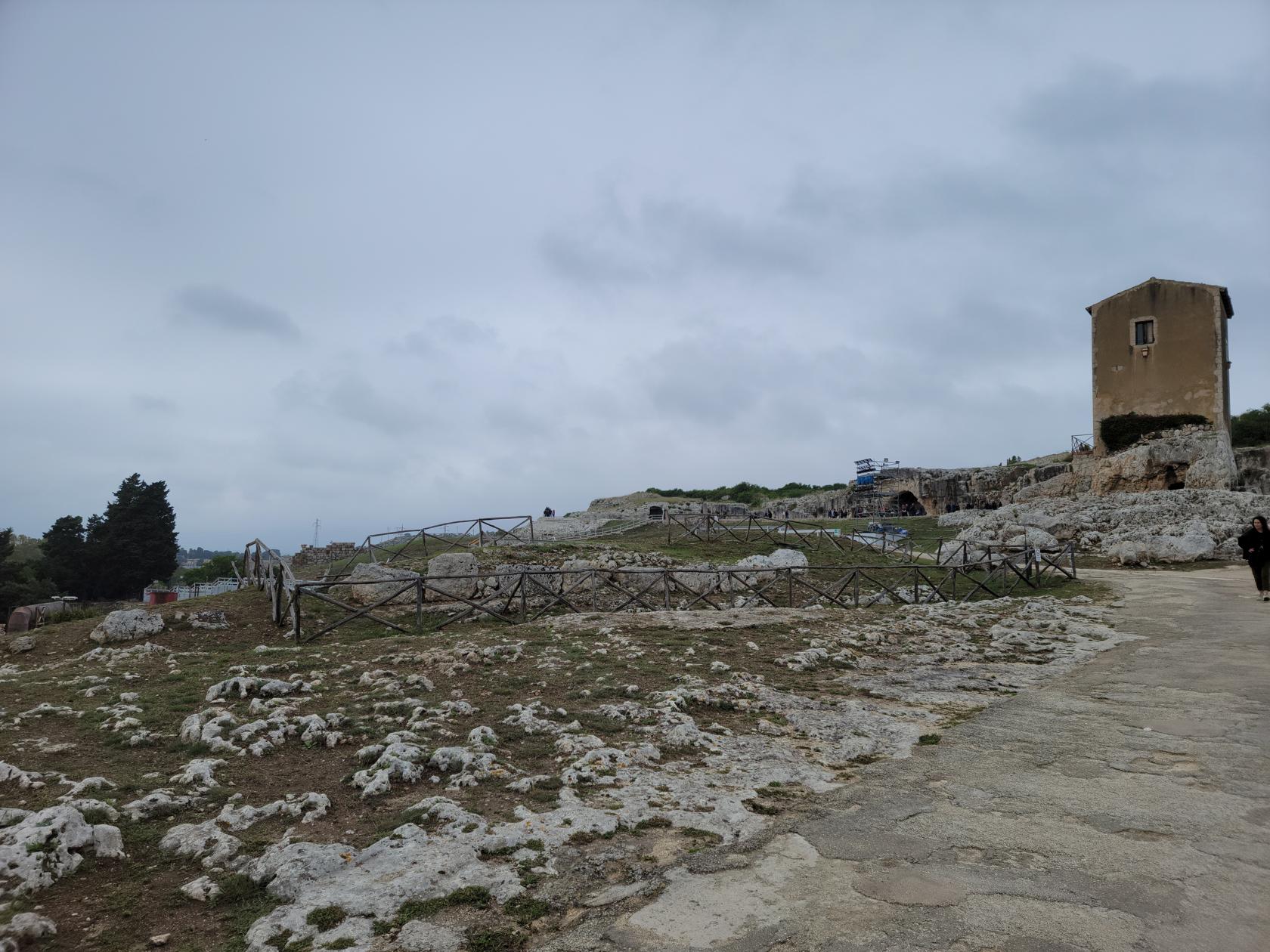
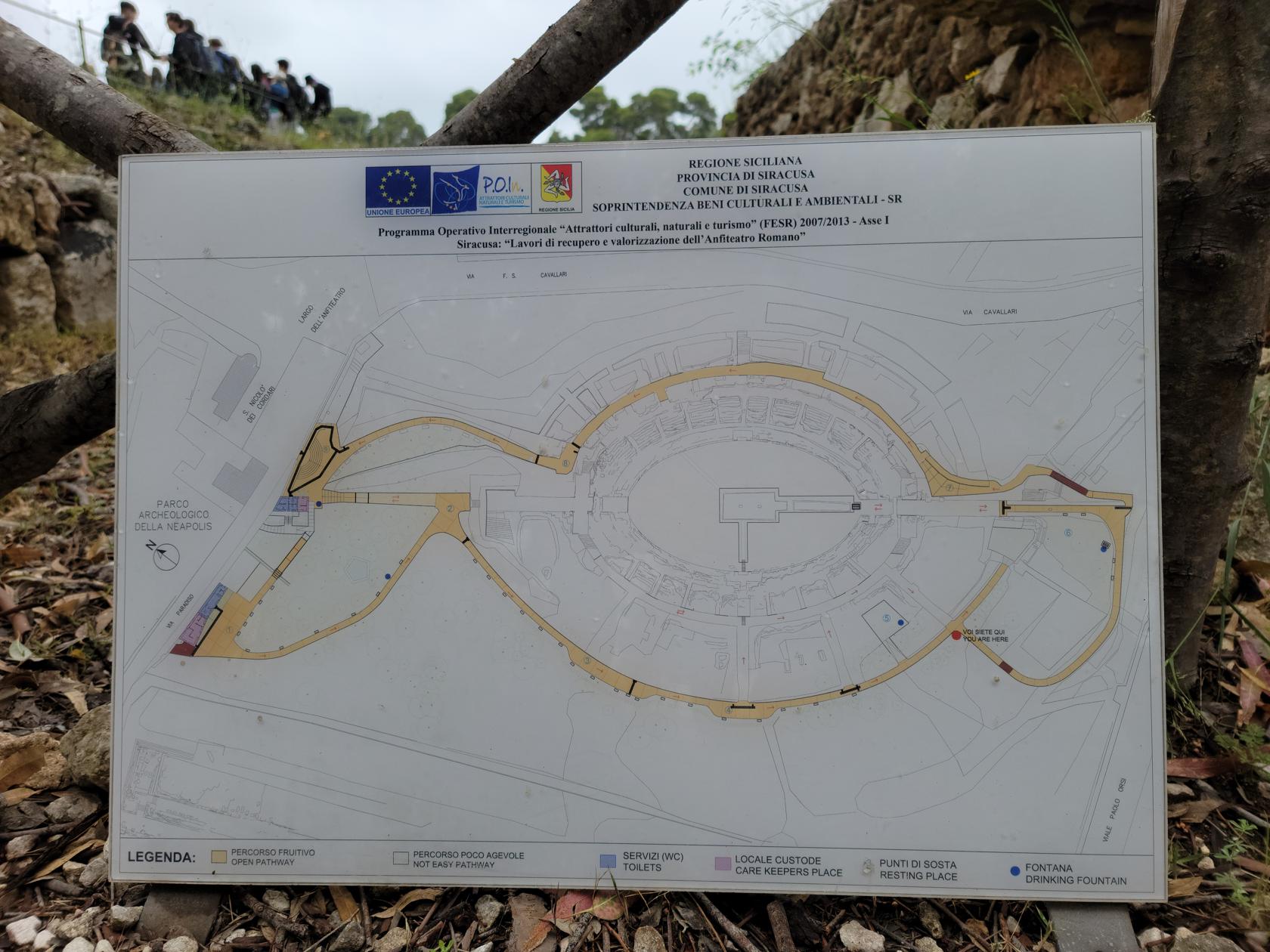
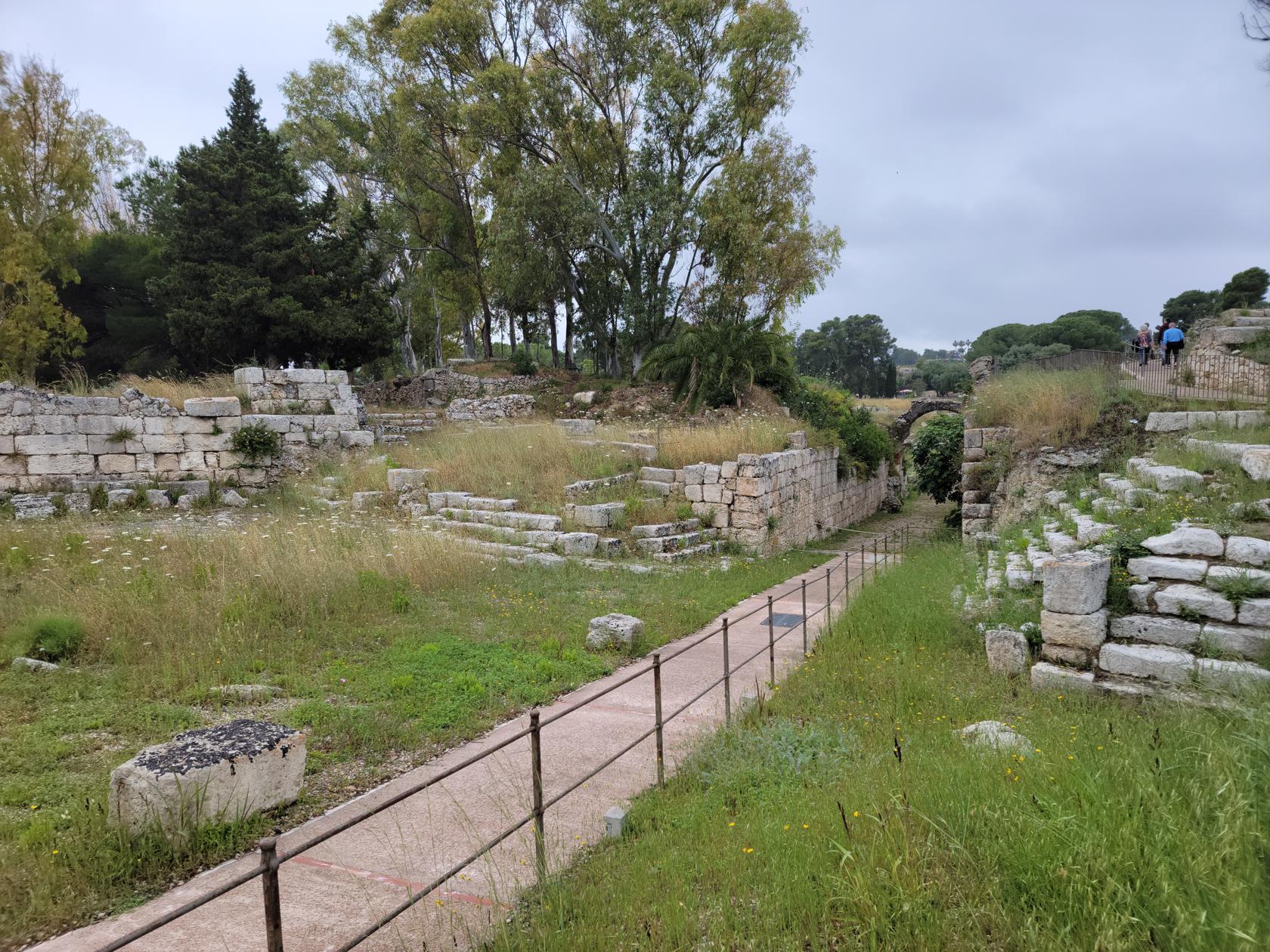
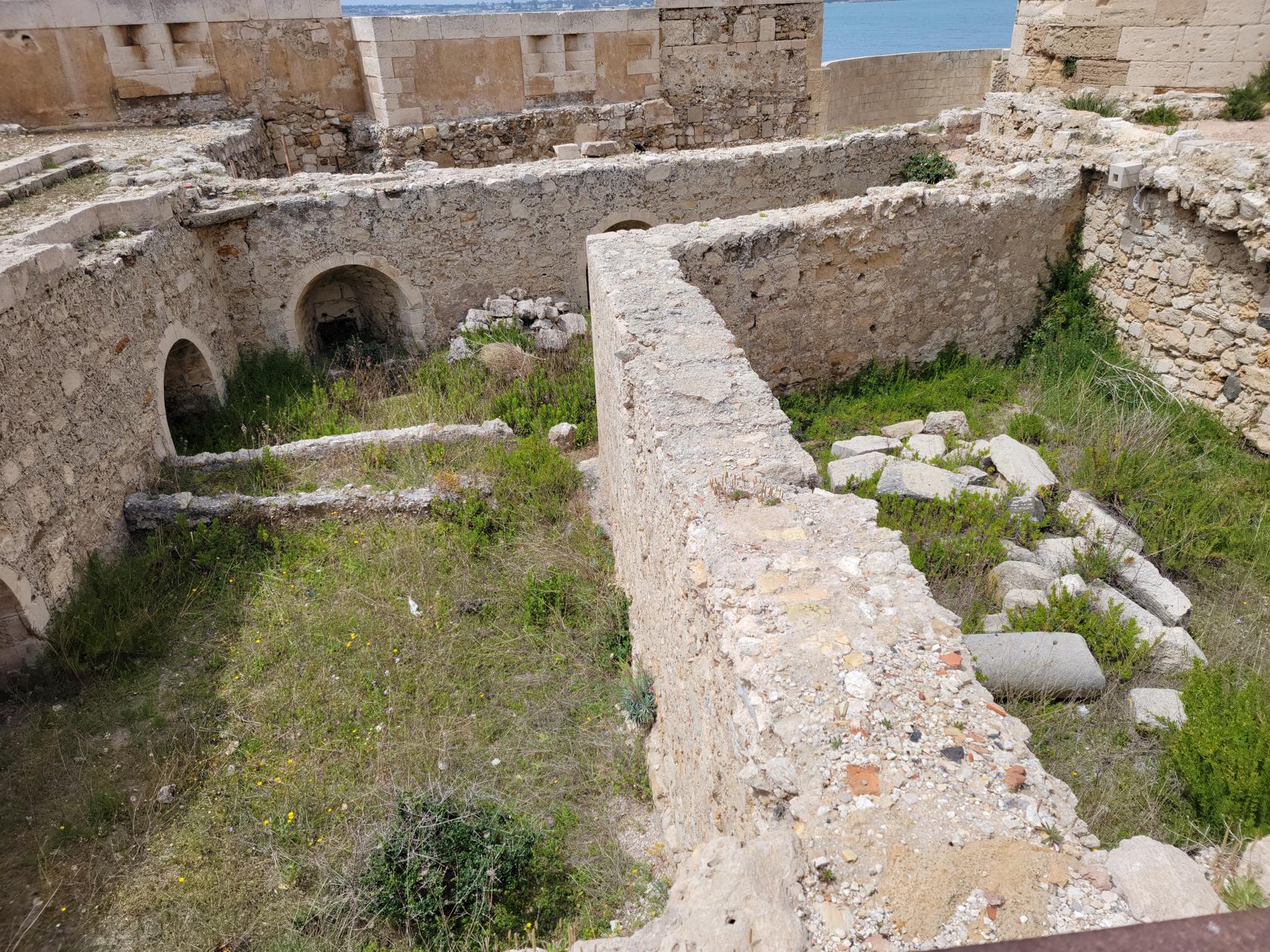
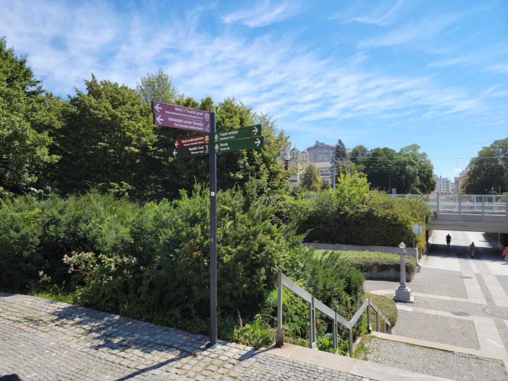
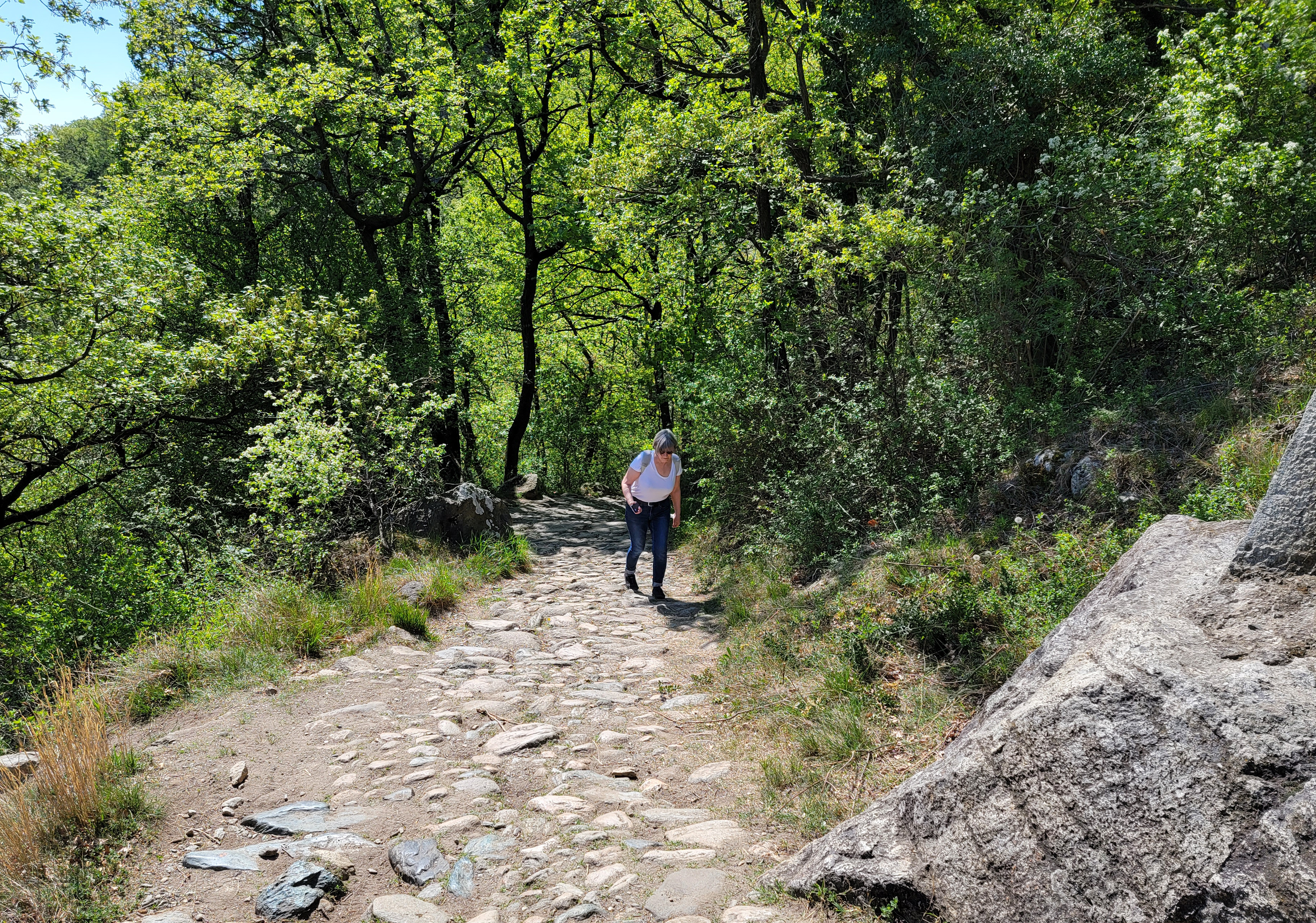
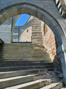
Archaeological Park
The Archaeological Park, also known as the Neapolis Archaelogical Park of Syracuse, is situated about two and a half kilometers from the island of Ortigia. However, a brisk walk can get you there in about twenty or so minutes.
Tickets may be purchased at the gate, now across the newly blue painted intersection.
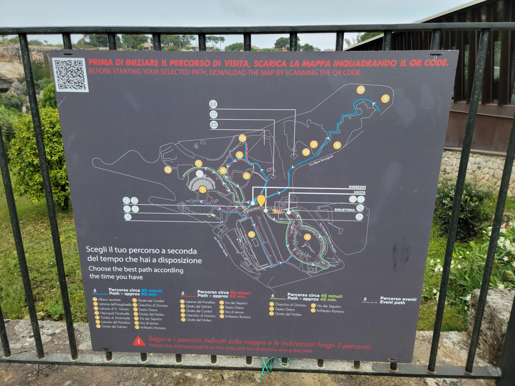
If you follow the signs, like we did, you will be taken to group ticket sales, which will still sell you tickets, but its out of the way and you will have to walk through a path of vendors before actually finding the ticket booth.
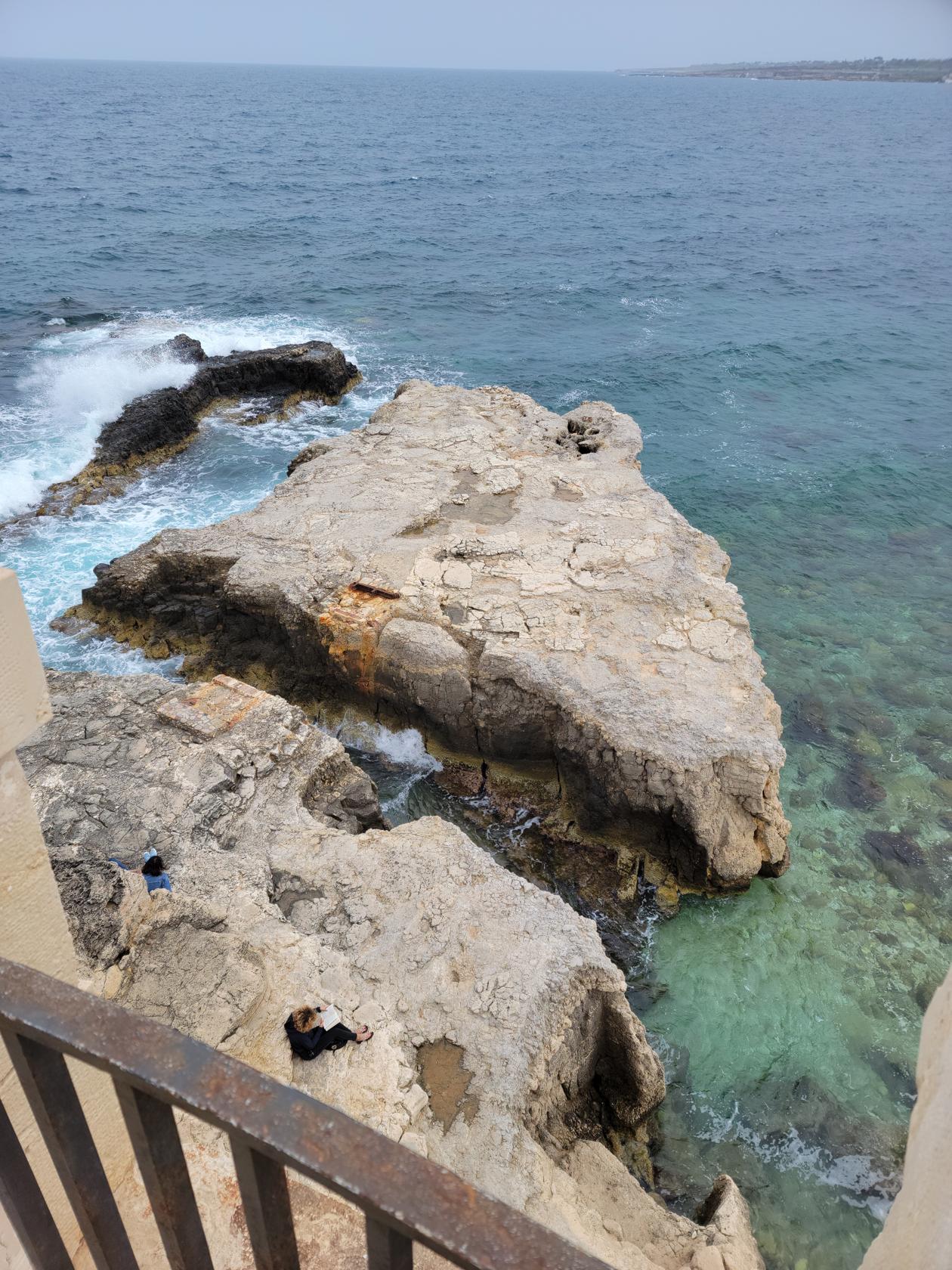
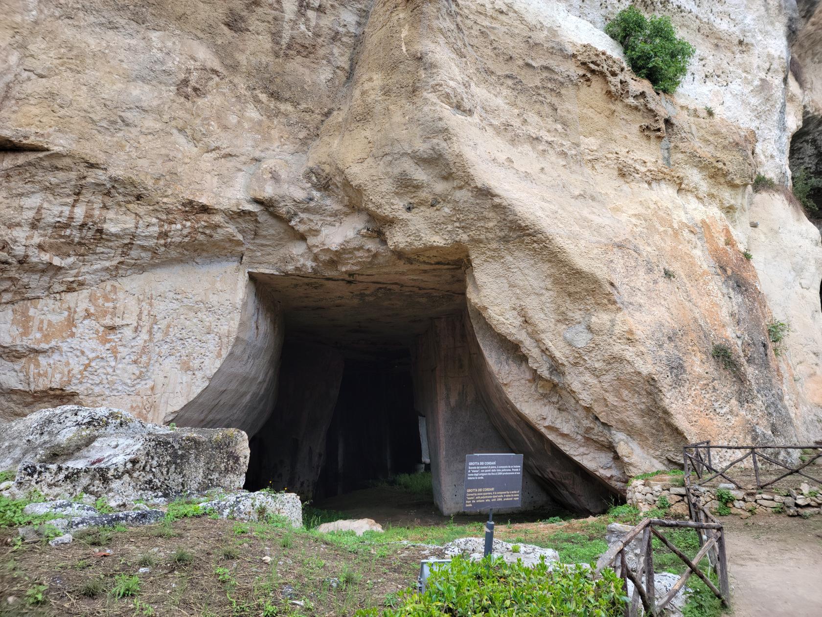
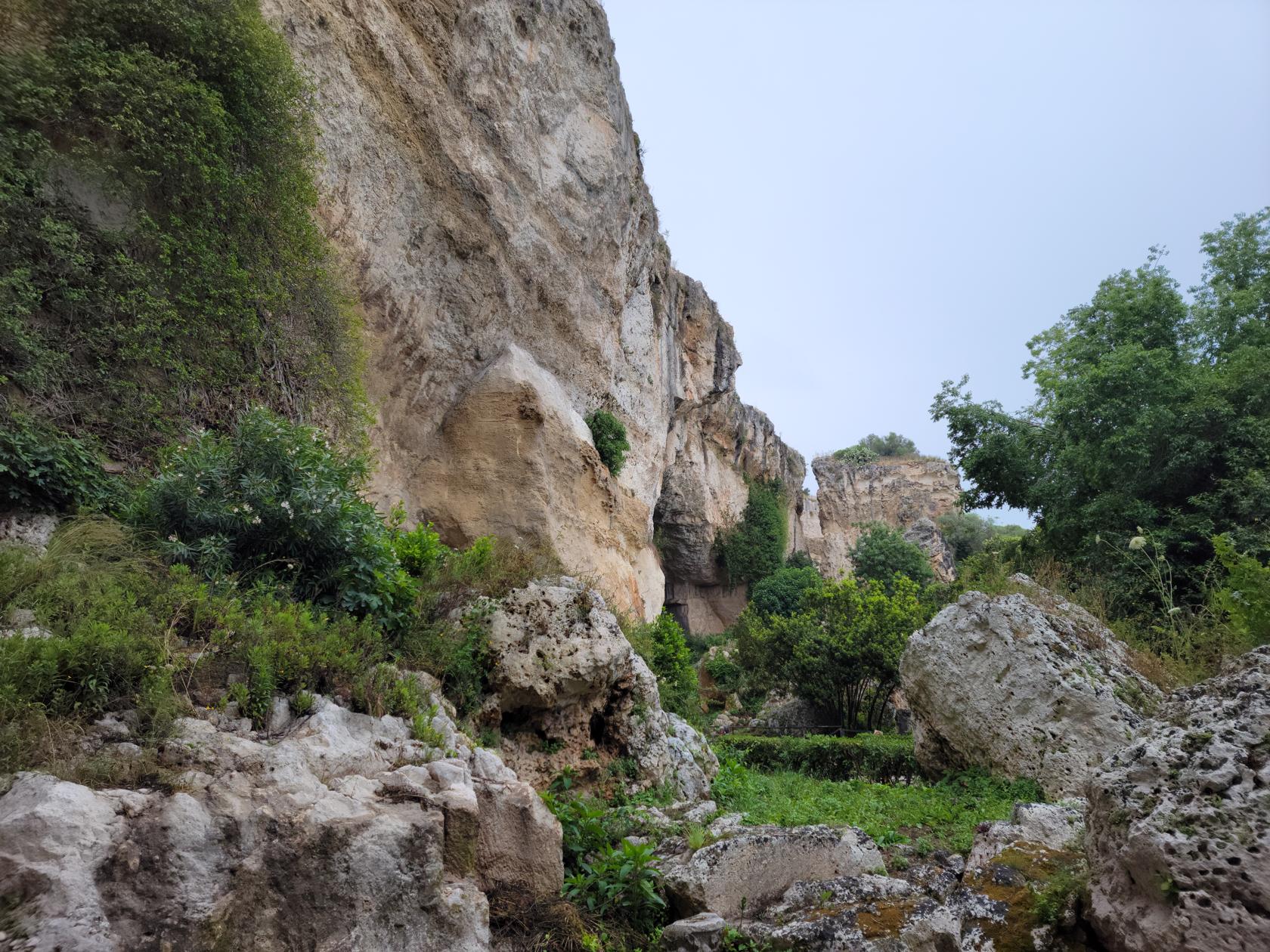
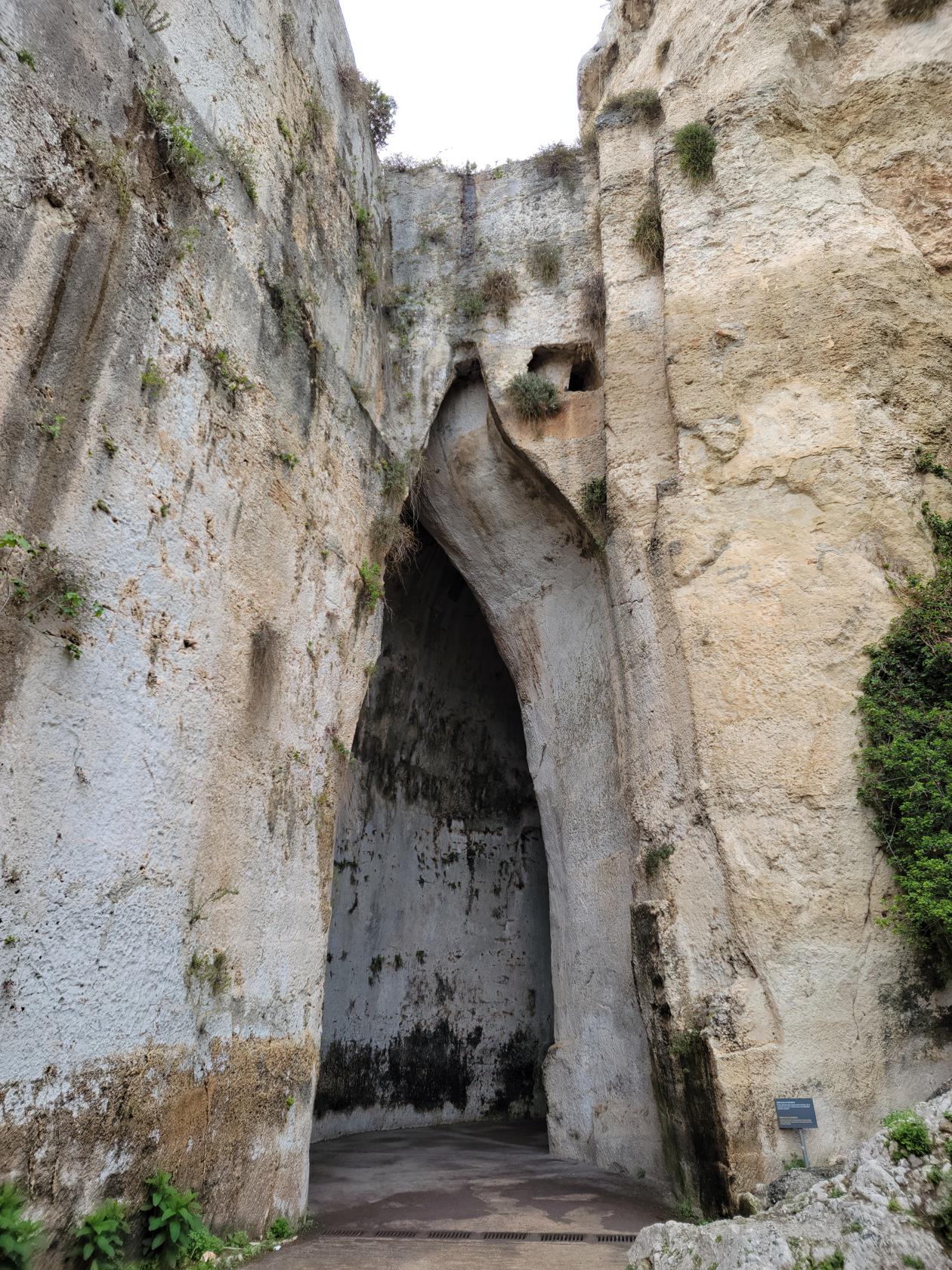
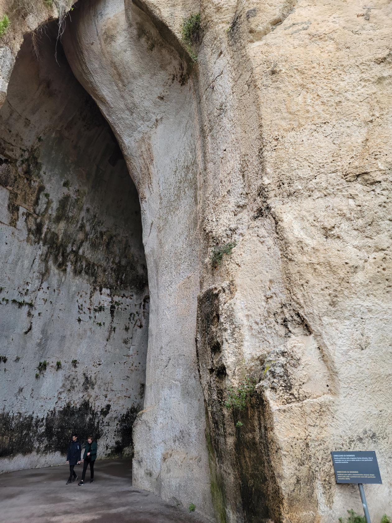
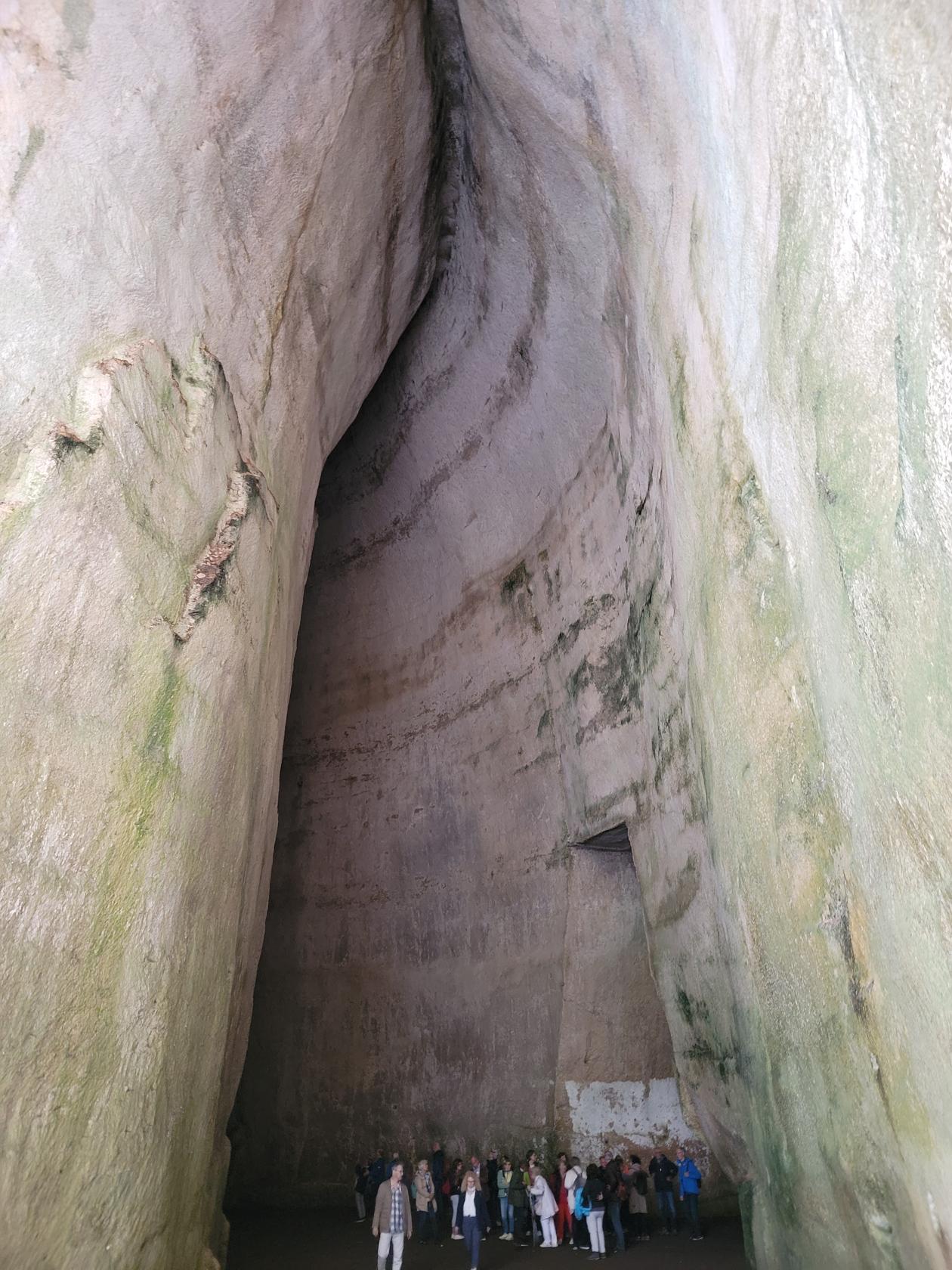
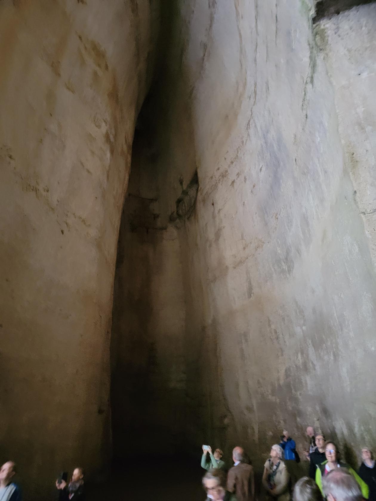
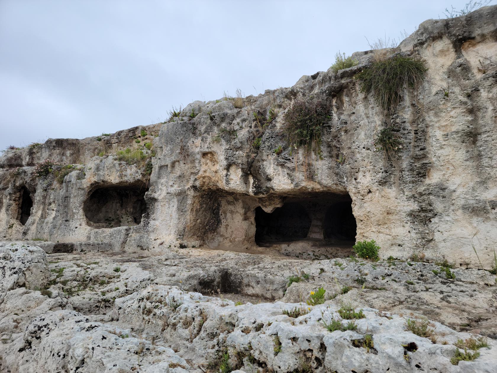
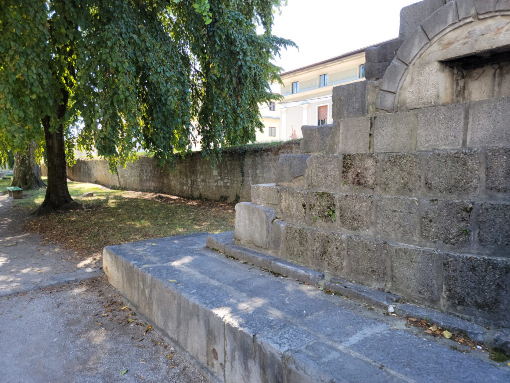
Latomia or Grottos
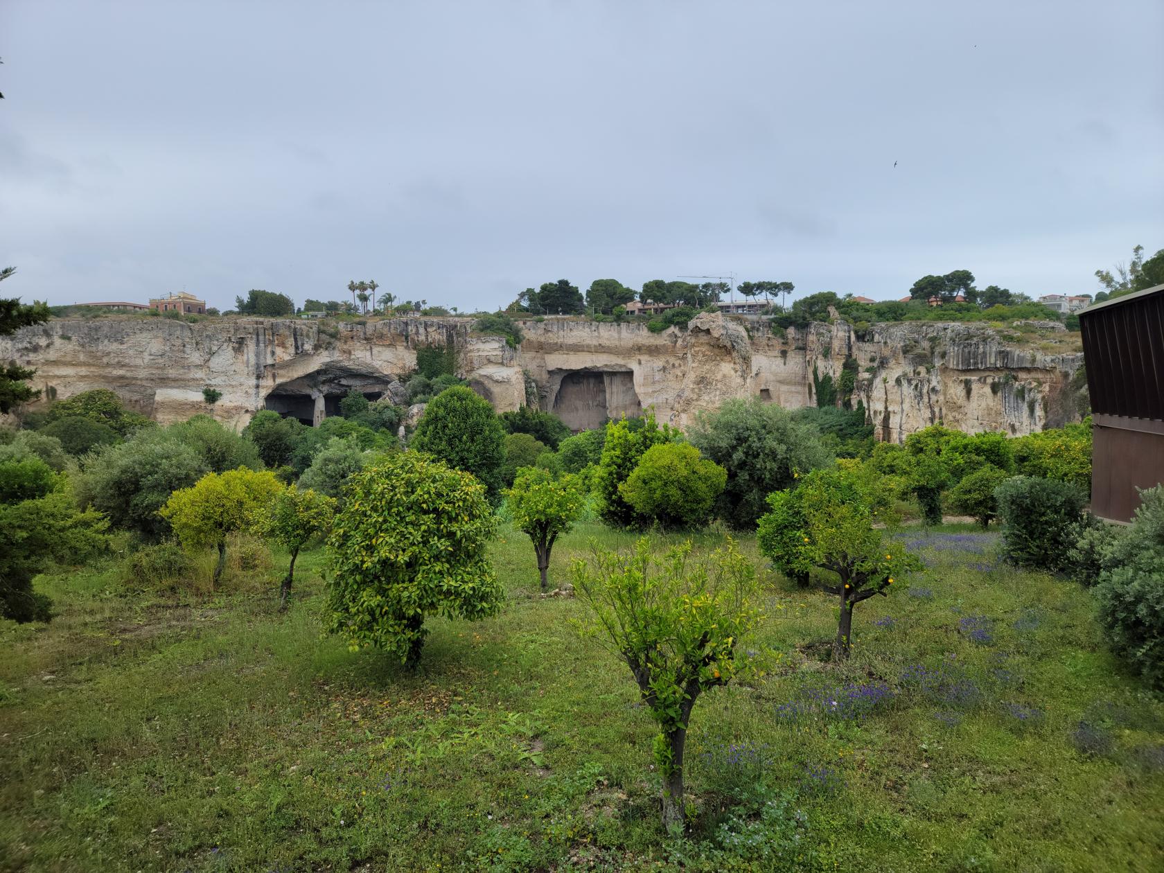
When you enter the Neapolis the first thing to visit is the Grotto, or the large quarry where they used to mine stone for building. This is a huge cutout in the surrounding rock face which is about fifty or so meters in height.
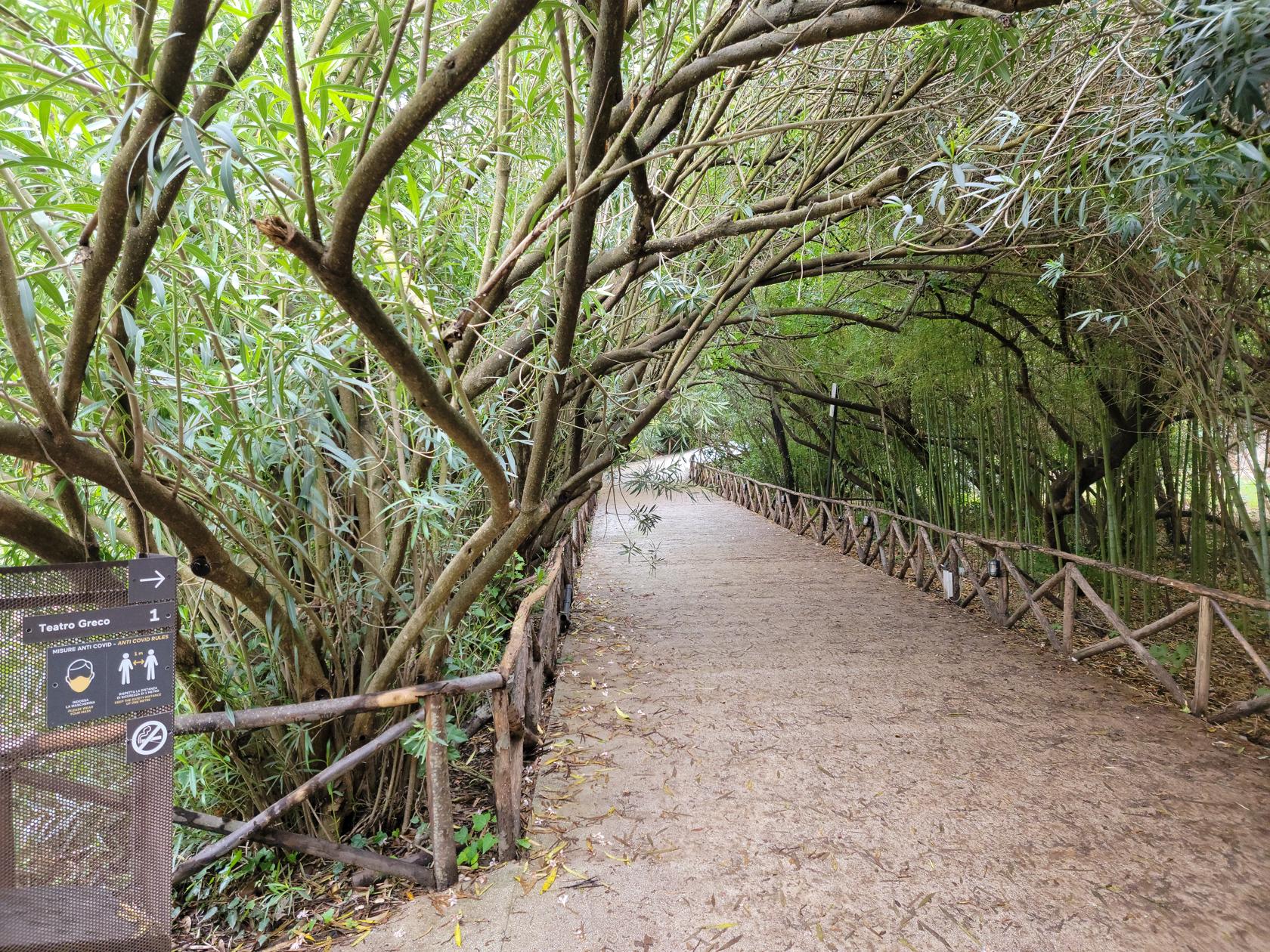
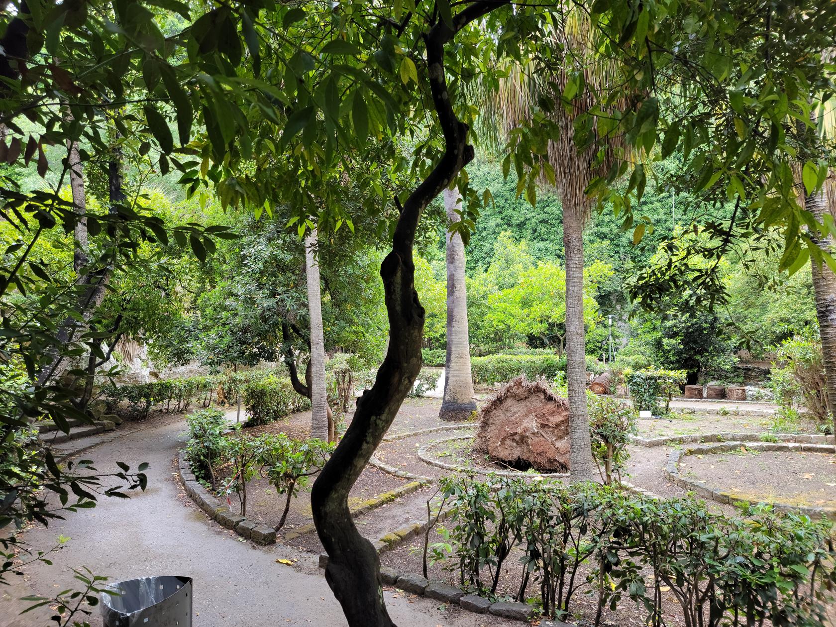
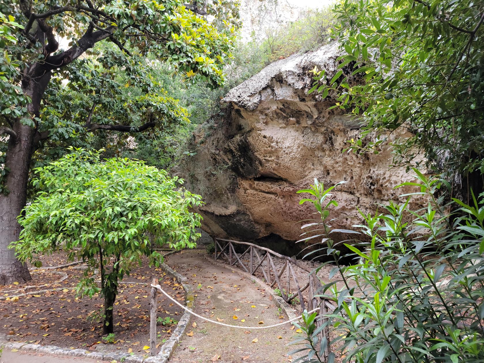
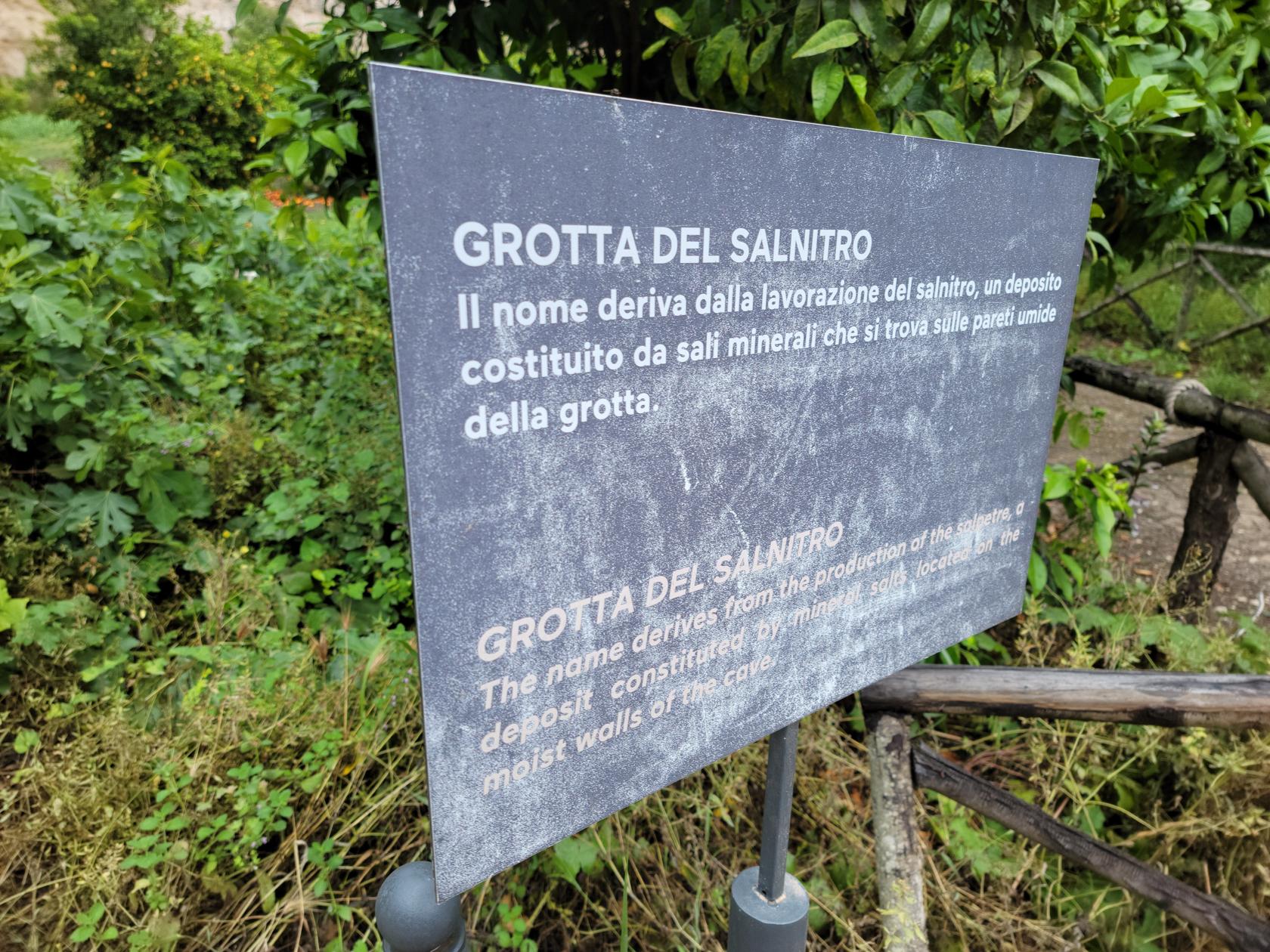
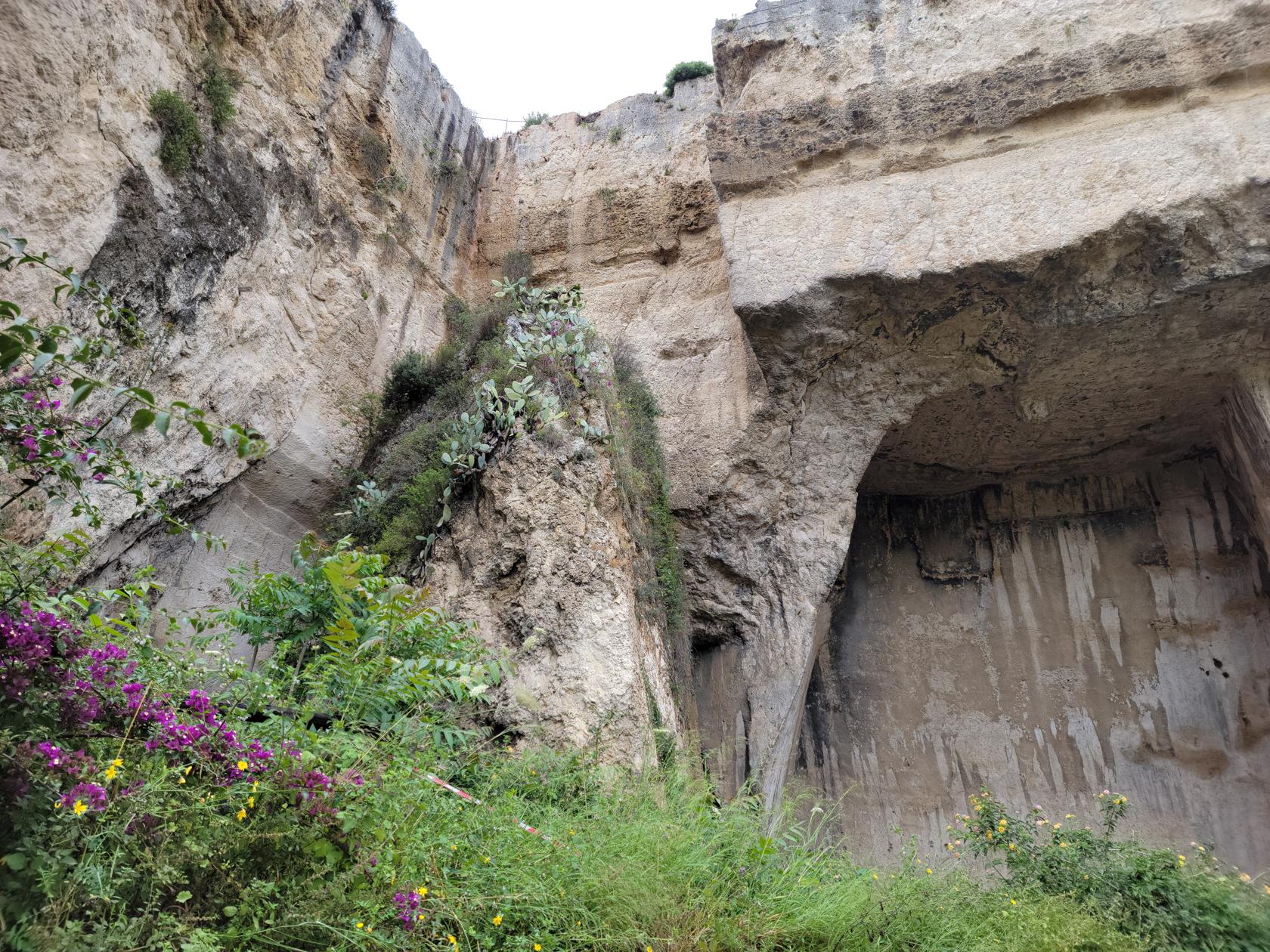
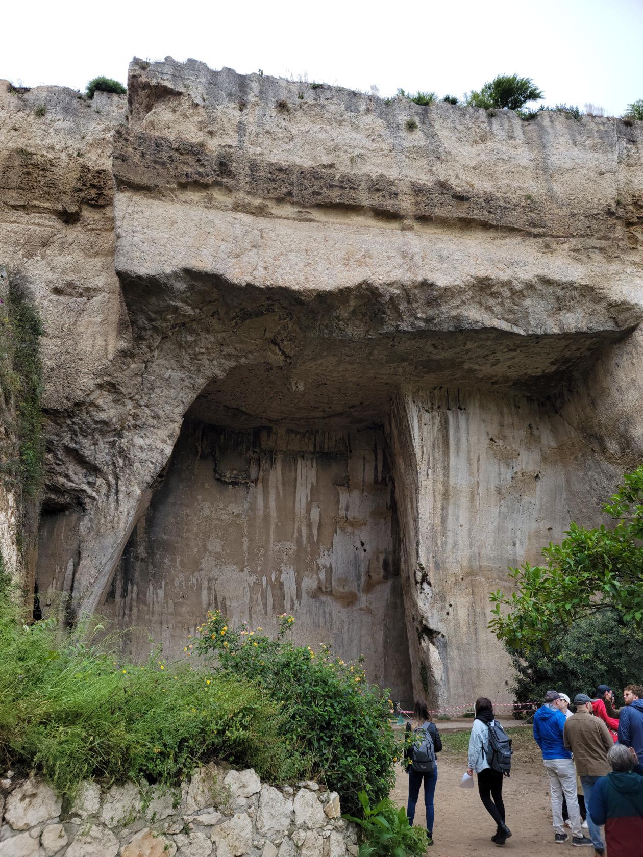
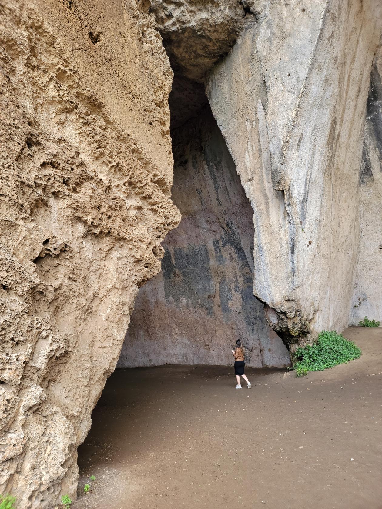
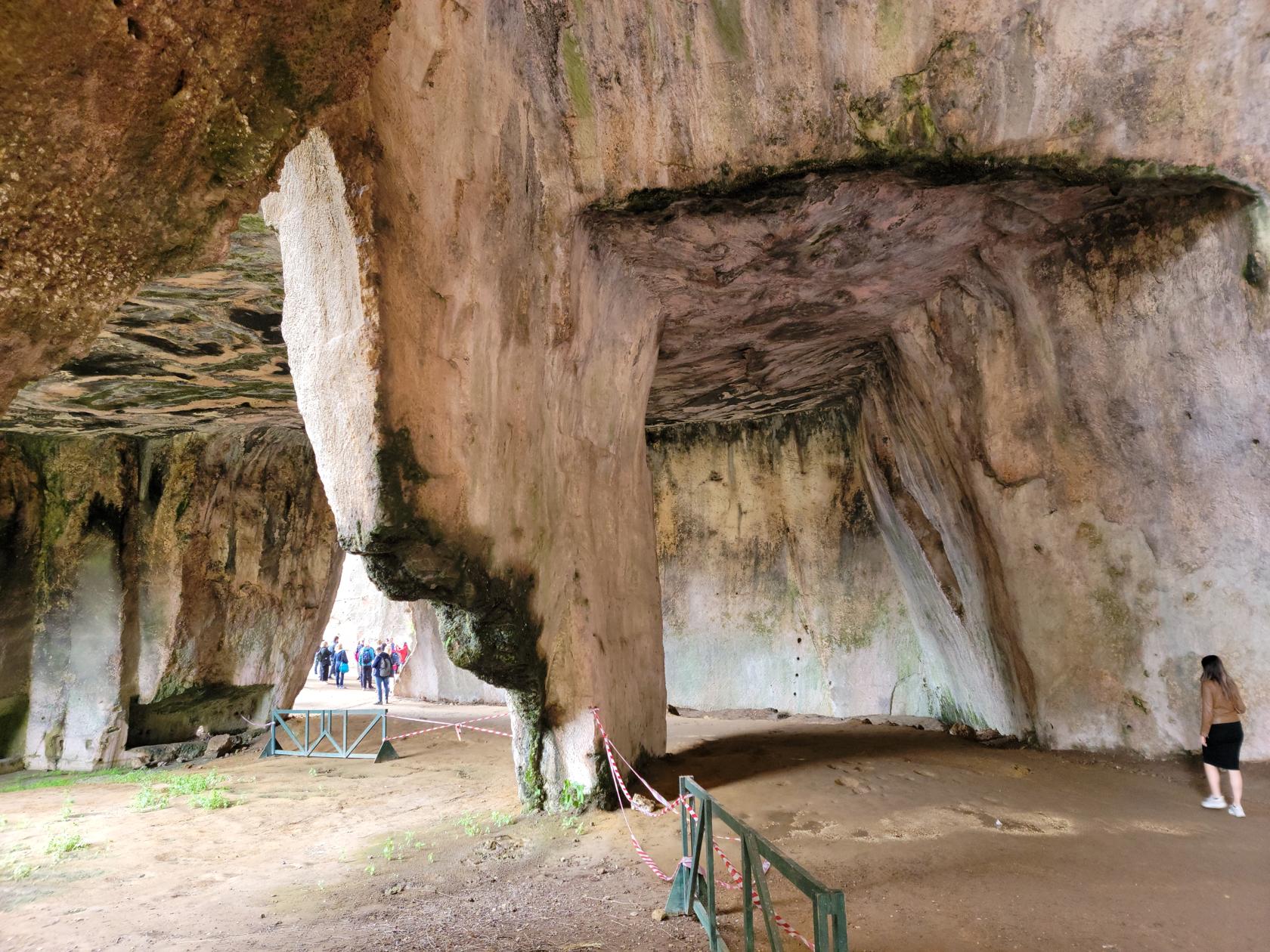
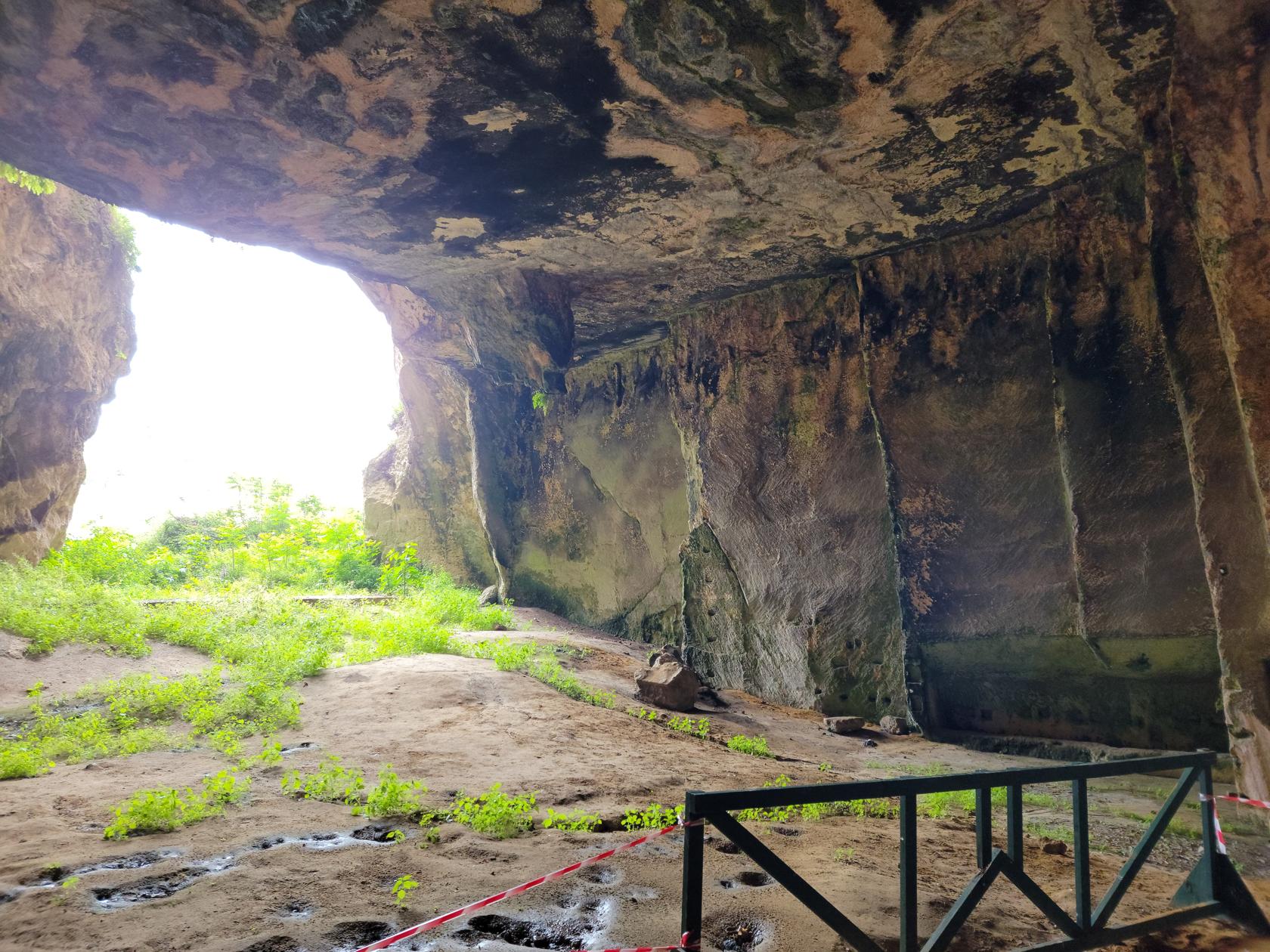
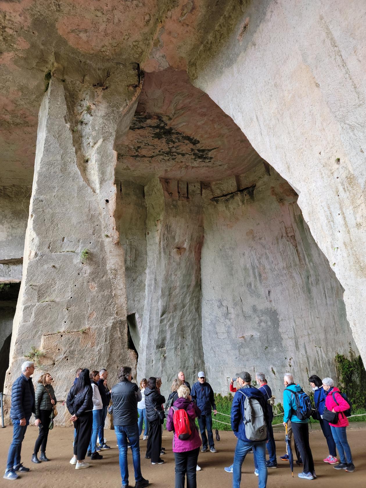
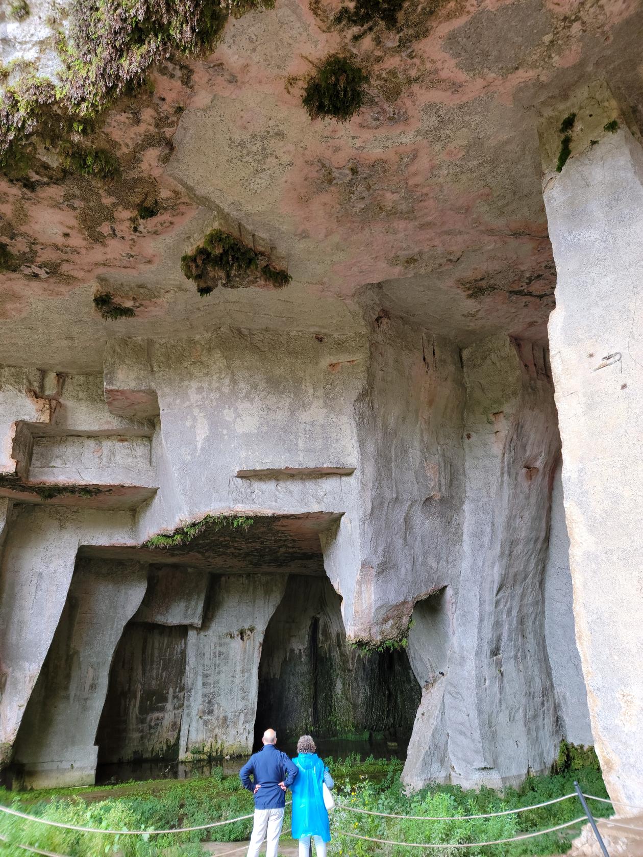
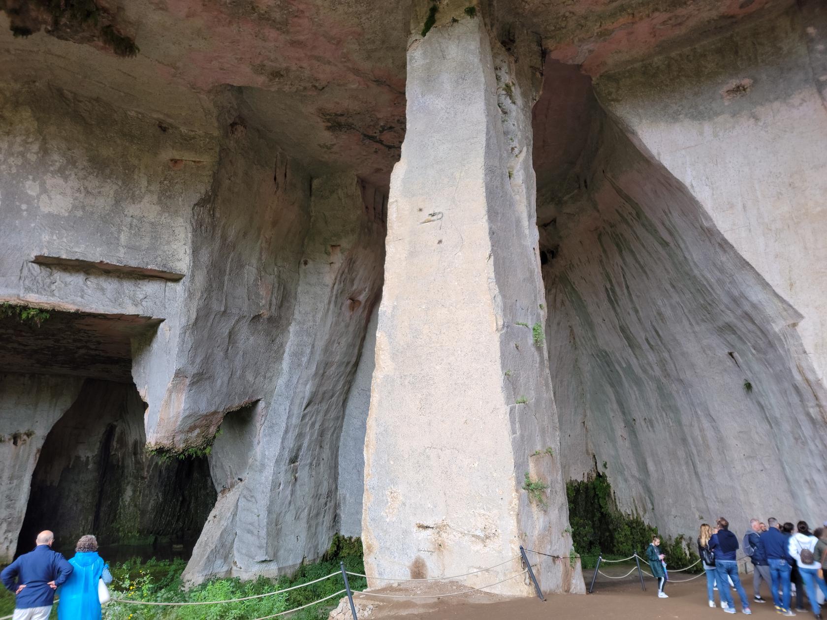
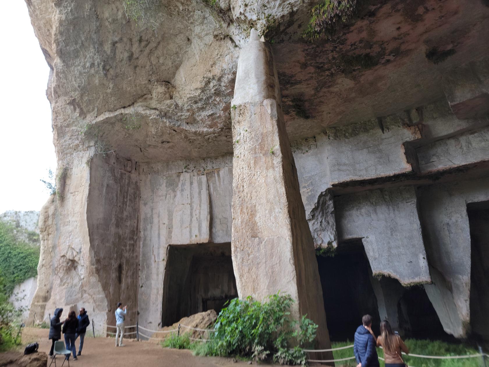

It appears to have had several cave-ins in the past, which probably occurred as they were mining the stone. There is evidence of the former inhabitants leaving large columns behind in an attempt to prevent additional cave-ins from occurring. Whether they were successful or not, it is not known, there are no information signs or other historical information provided at the site.
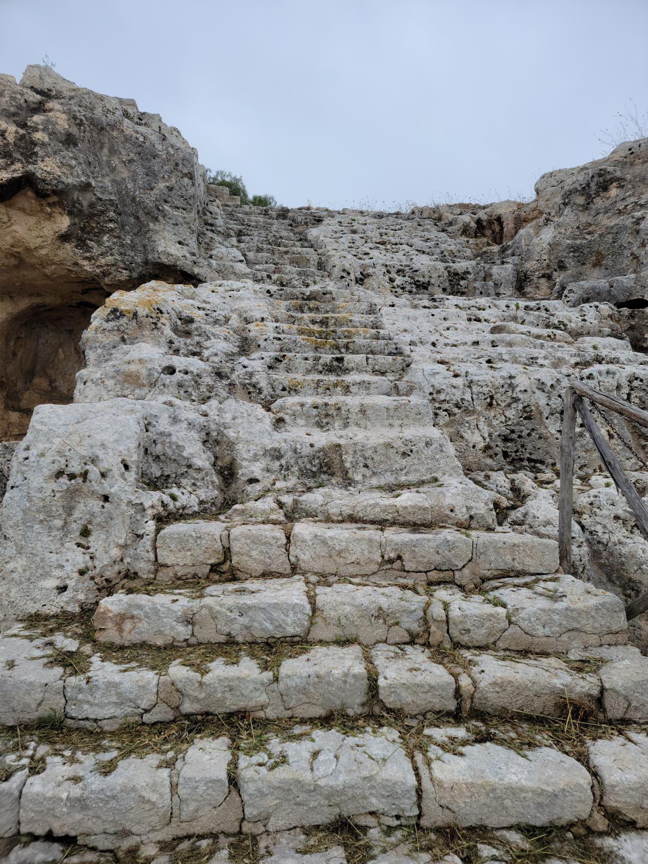
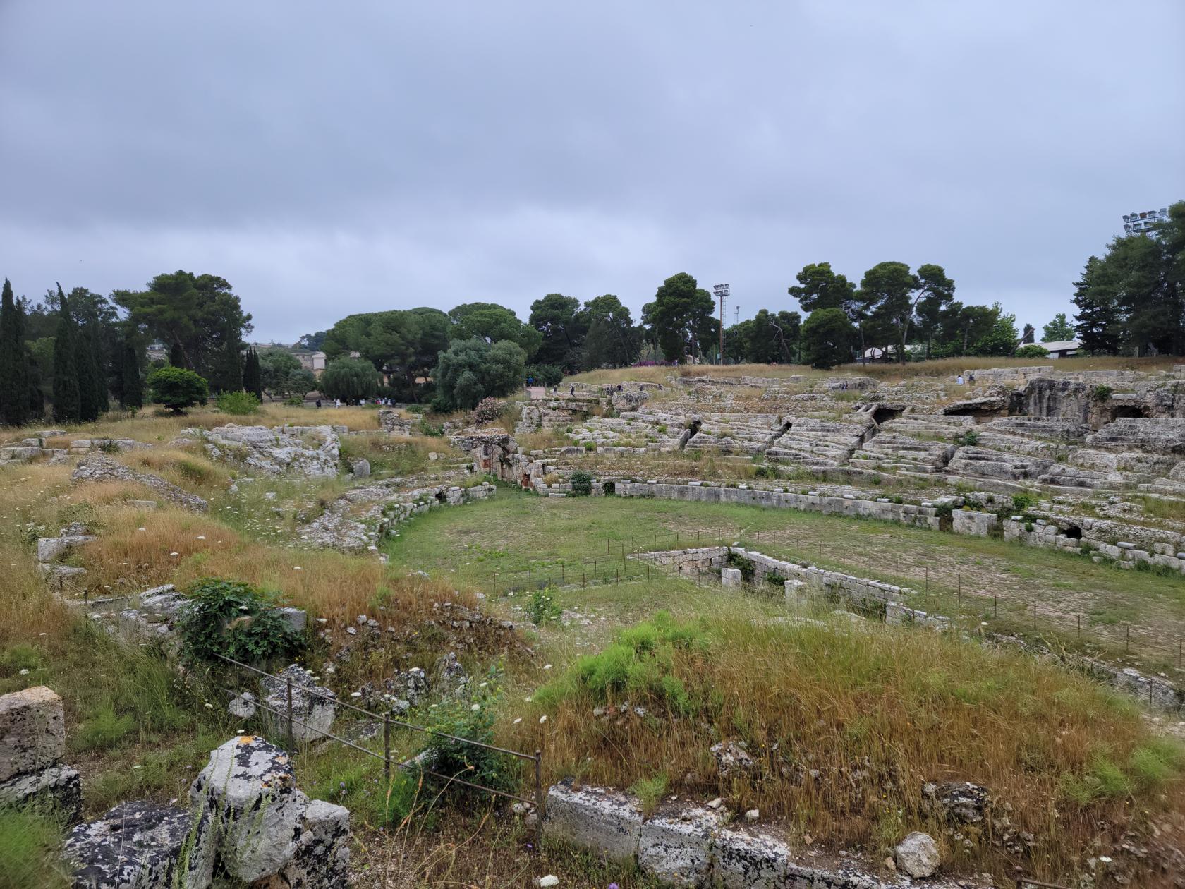
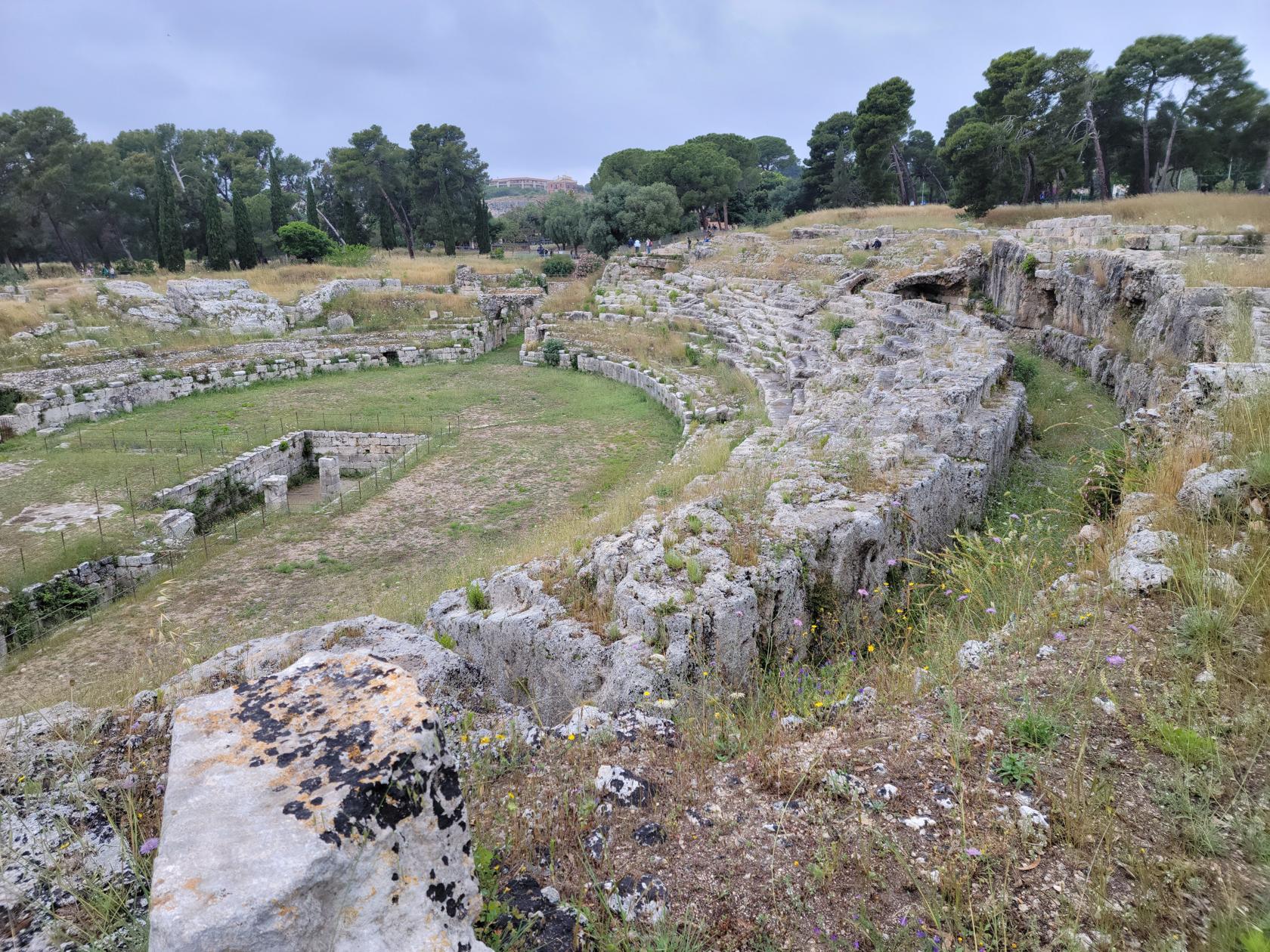
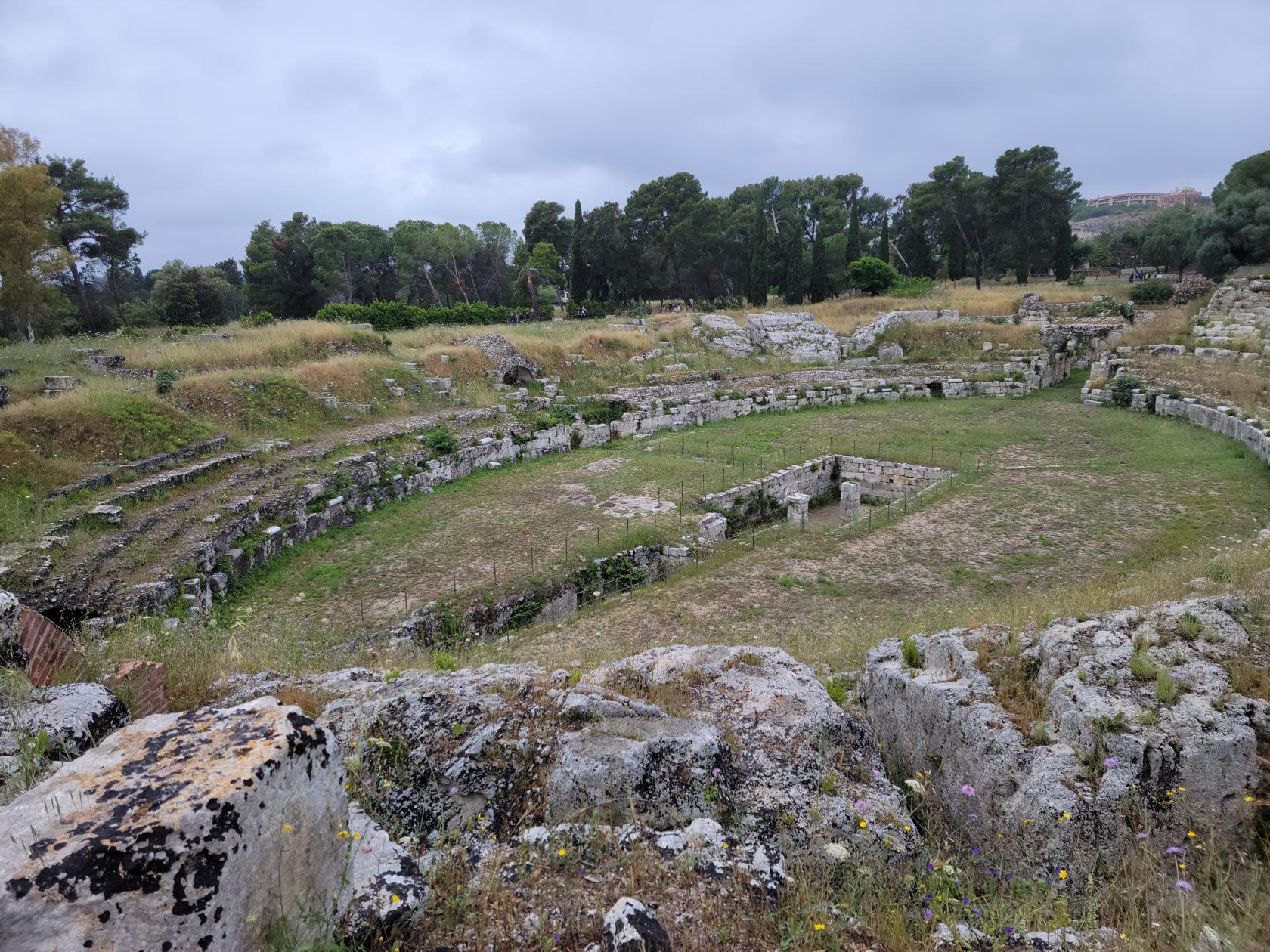
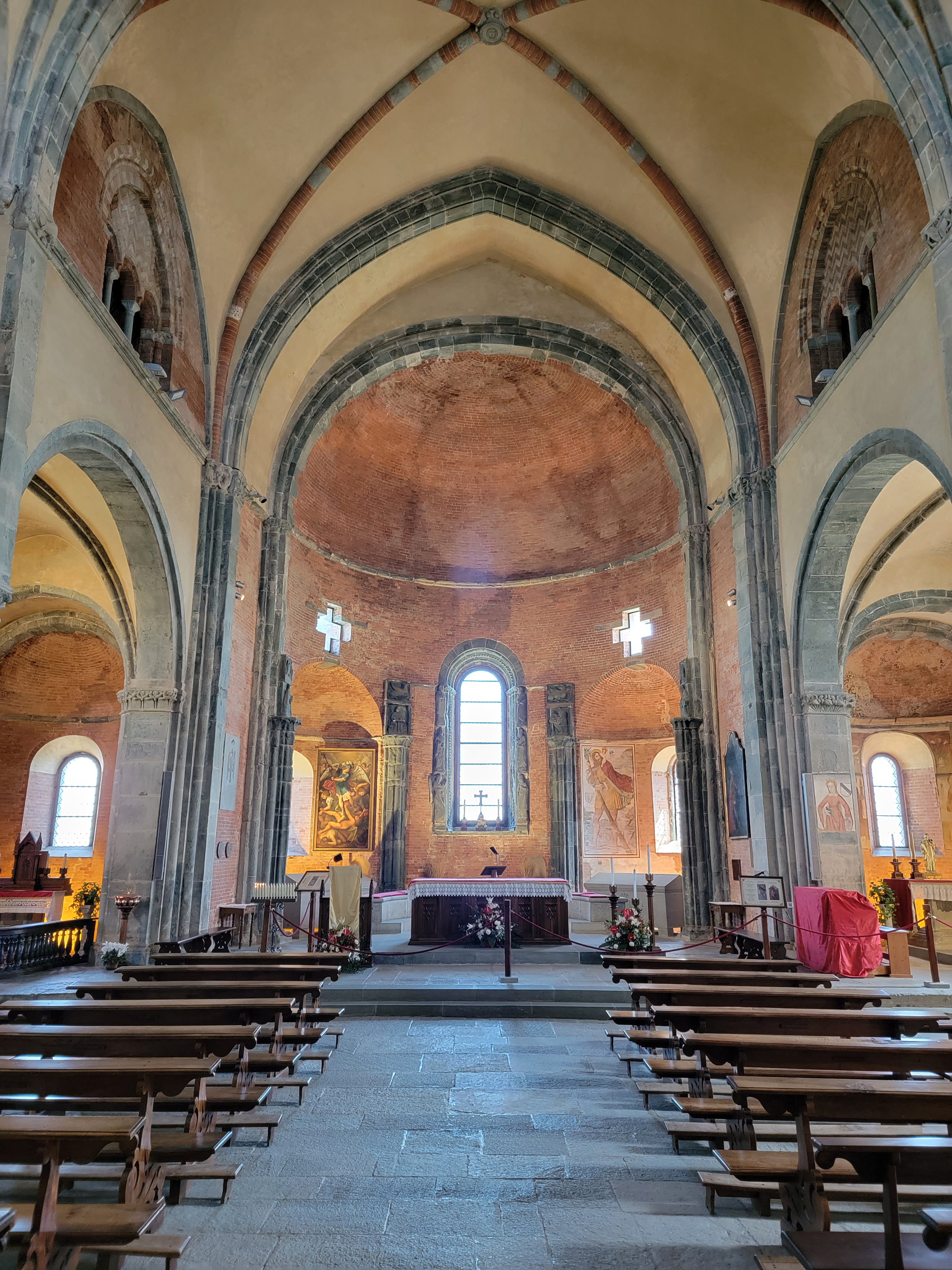
The Greek Theater
Built into the side of the hill, the Greek Theater was originally constructed in the fifth century BCE and later re-constructed several times, including by the Romans. Currently it has been further modified by the contemporary Syracusians for use as a theater again, building a scaffold like theater on top of the pre-existing Greek Theater, in order to have out-door performances and other events.
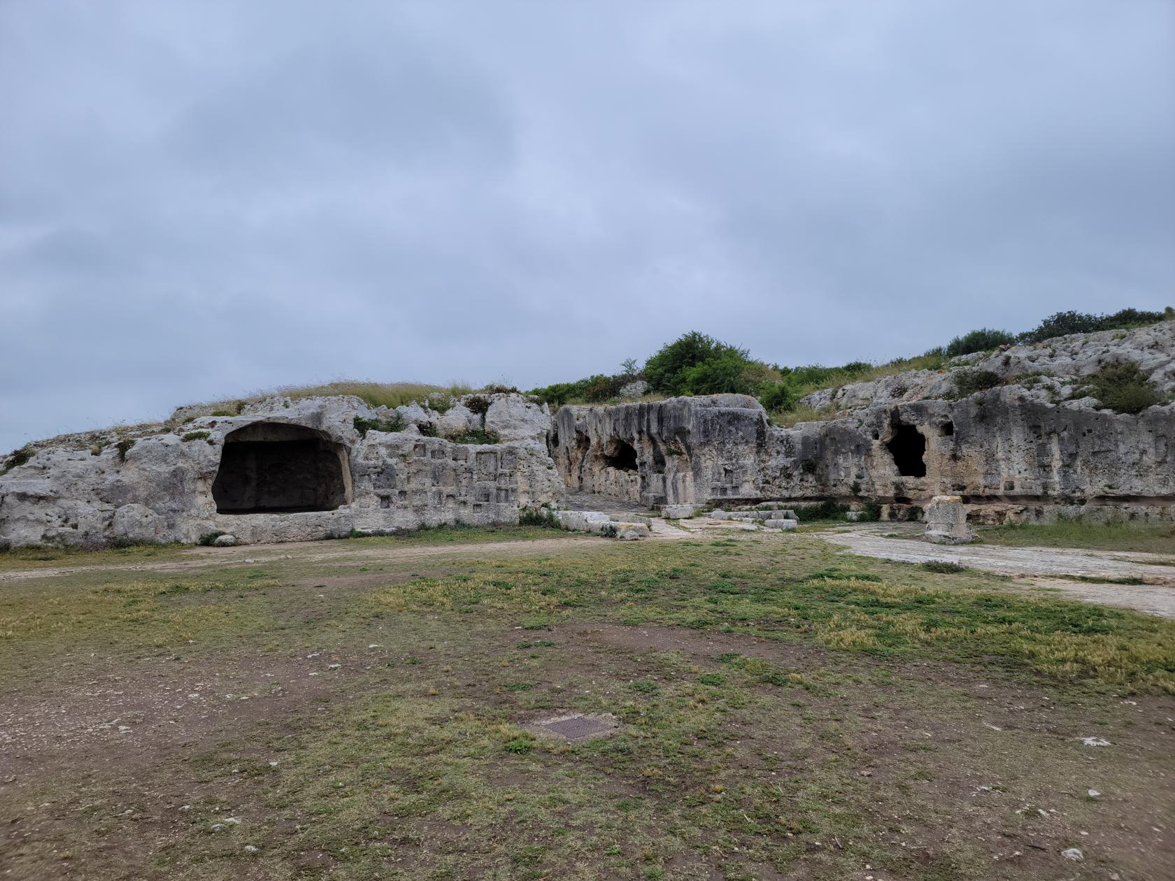
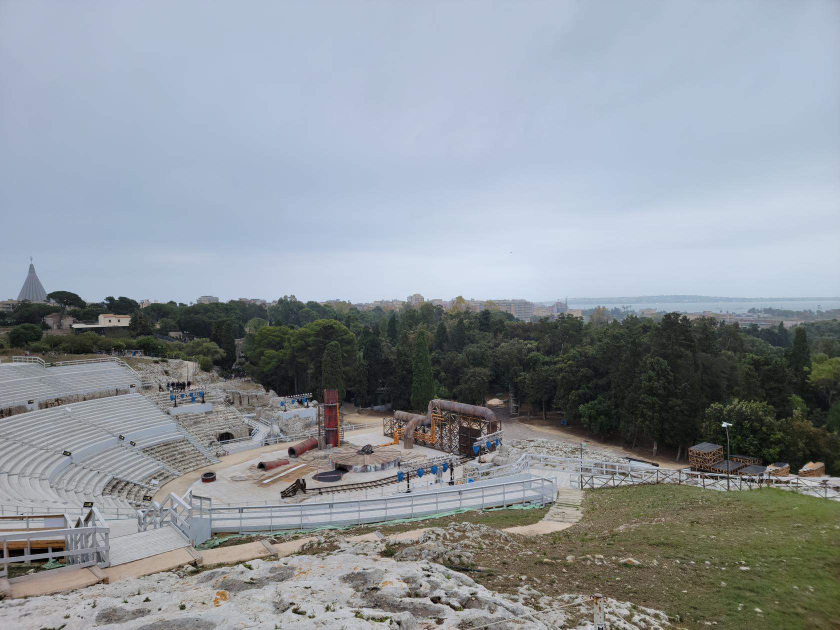
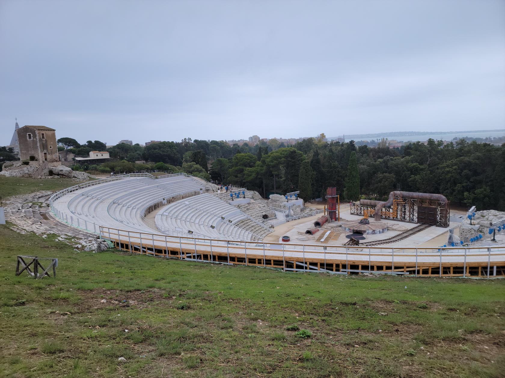
Behind the theater is a necropolis and grotto, both of which may be visited while visiting the structure.
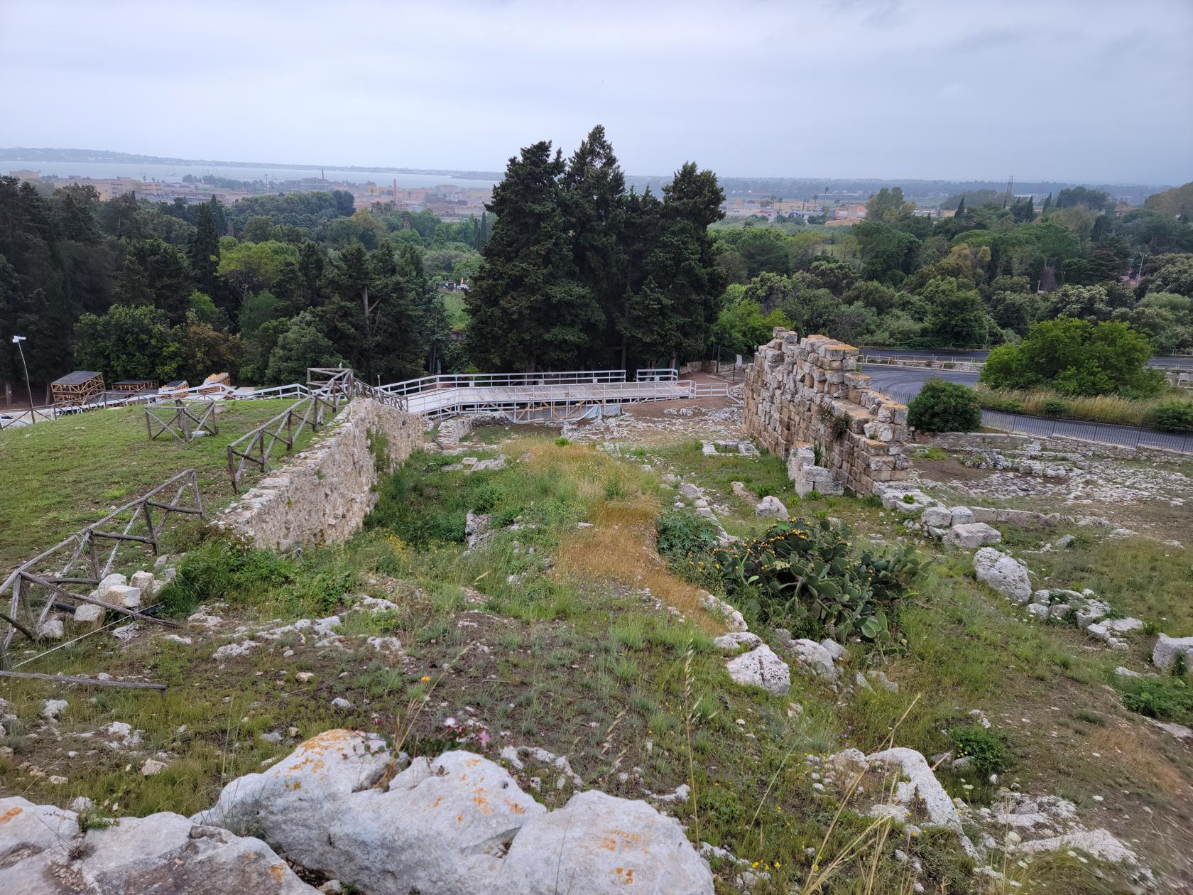
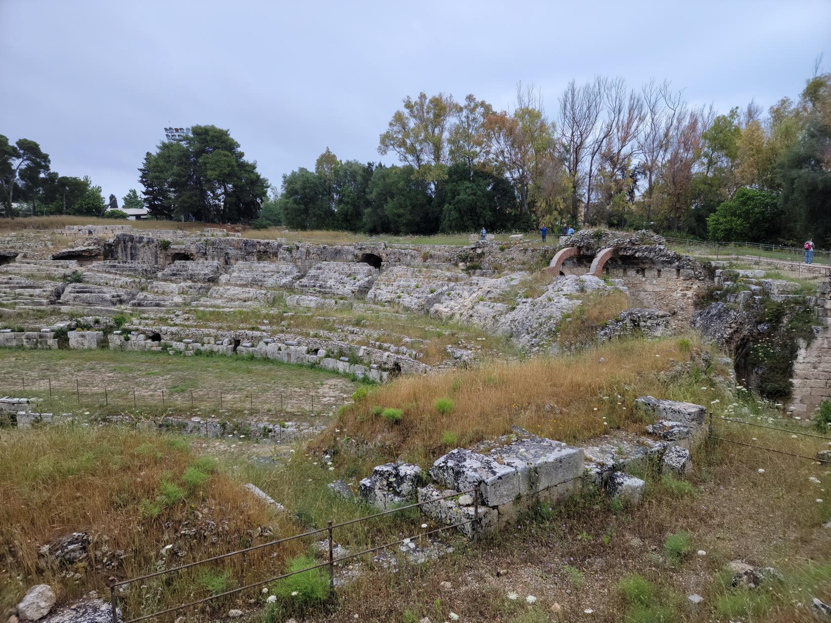
The Roman Theater
The Roman Theater is found on the way out of the park complex and extends to the exit for some way.
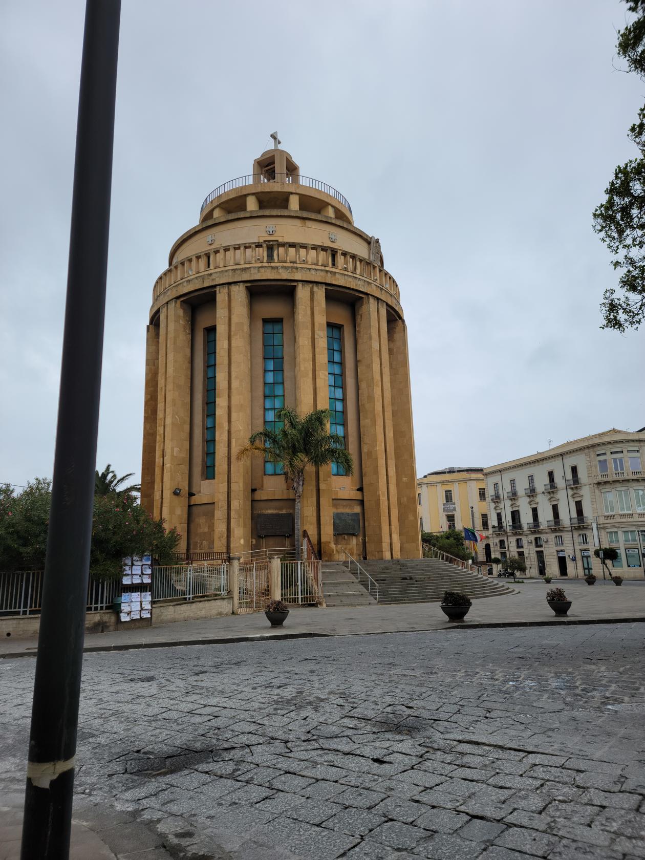
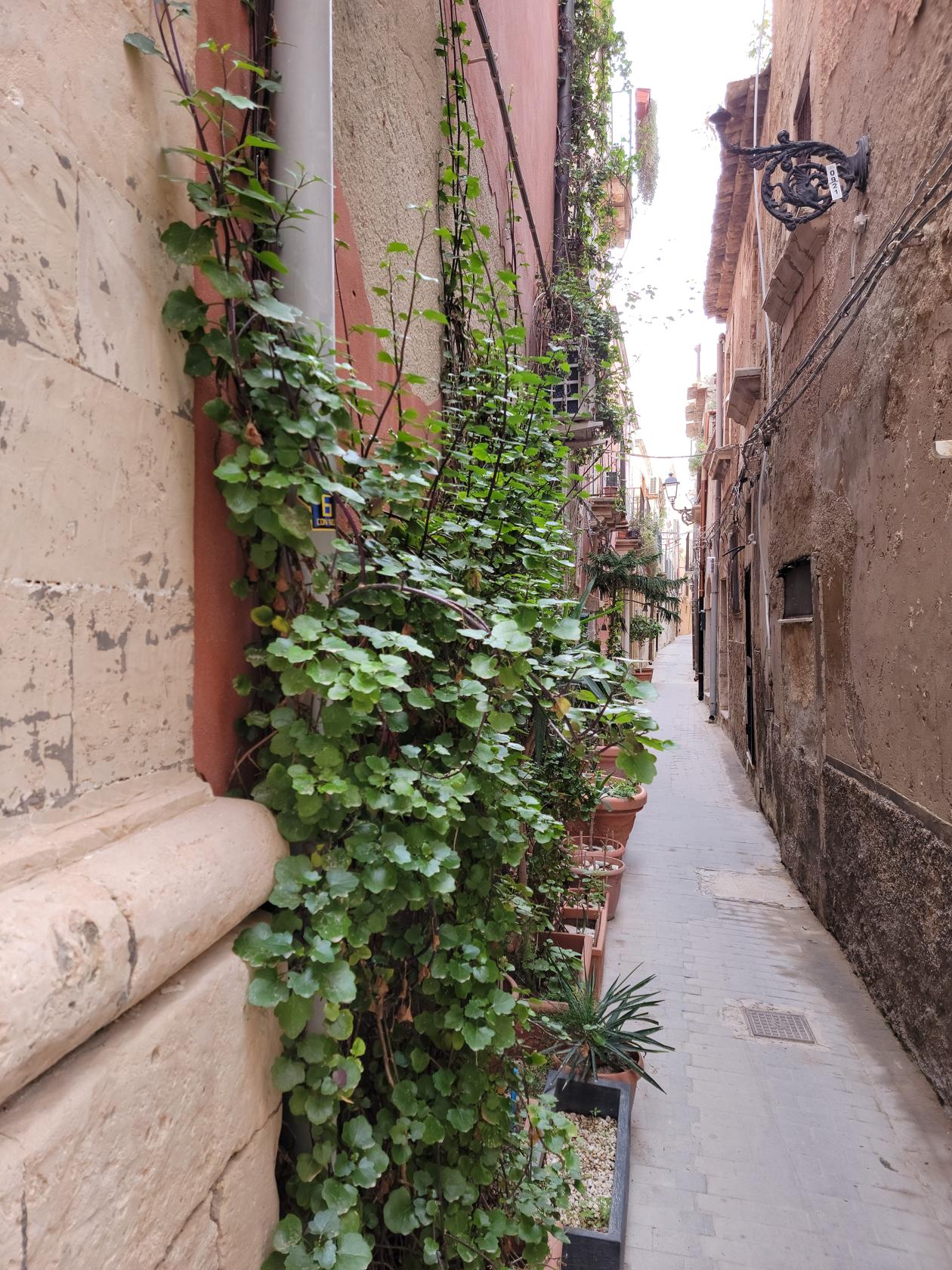
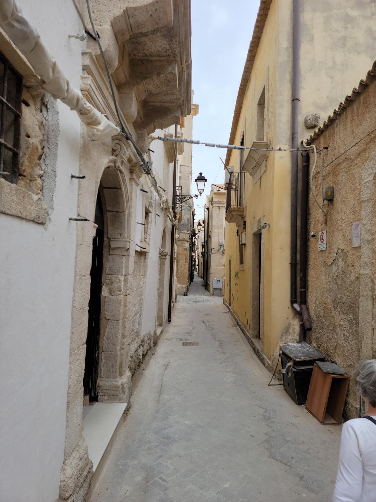
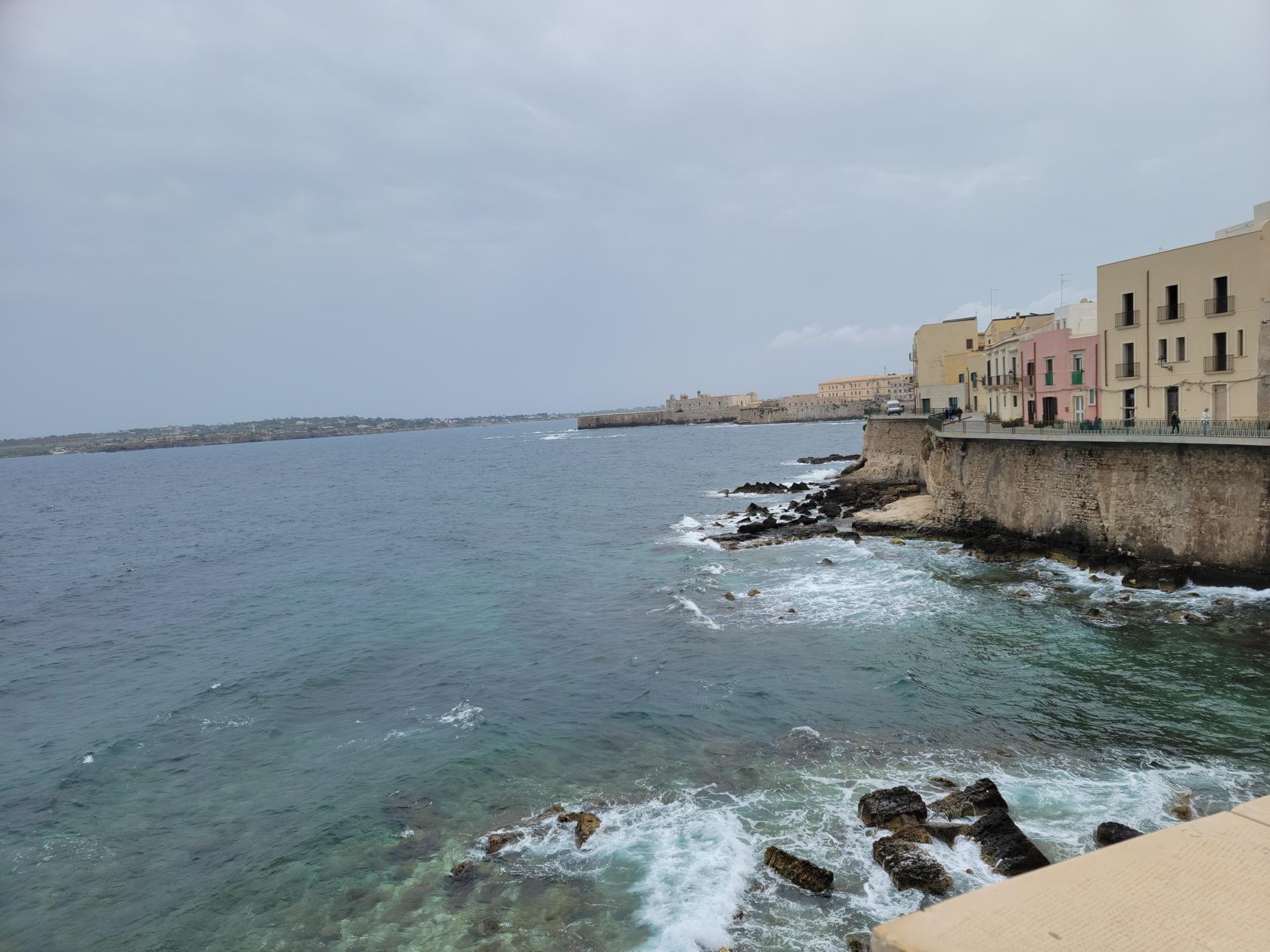
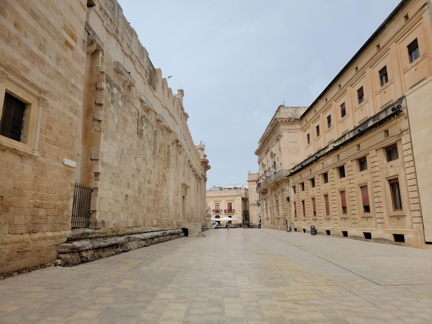
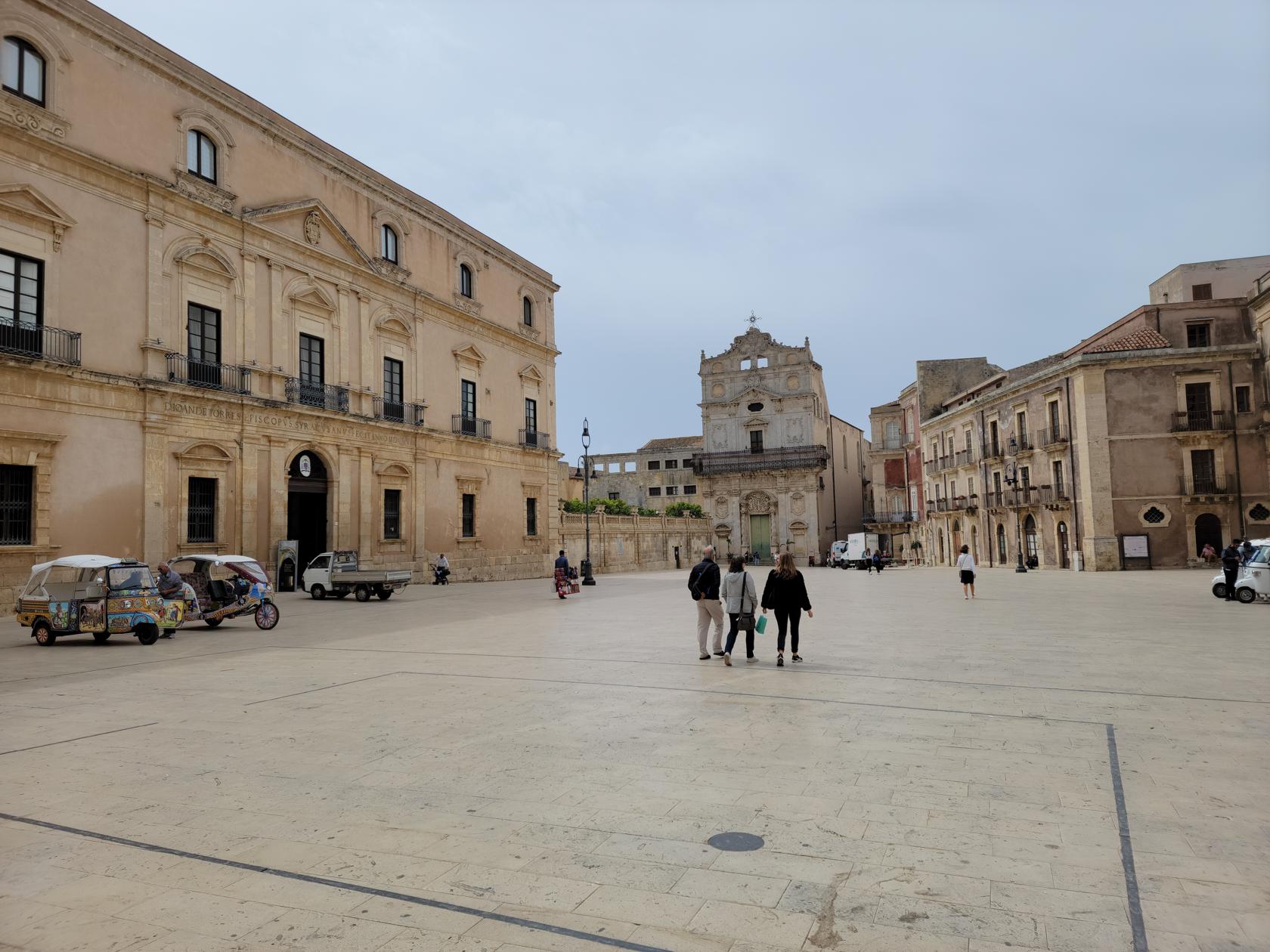
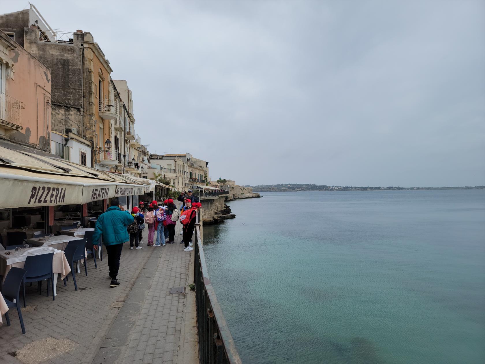
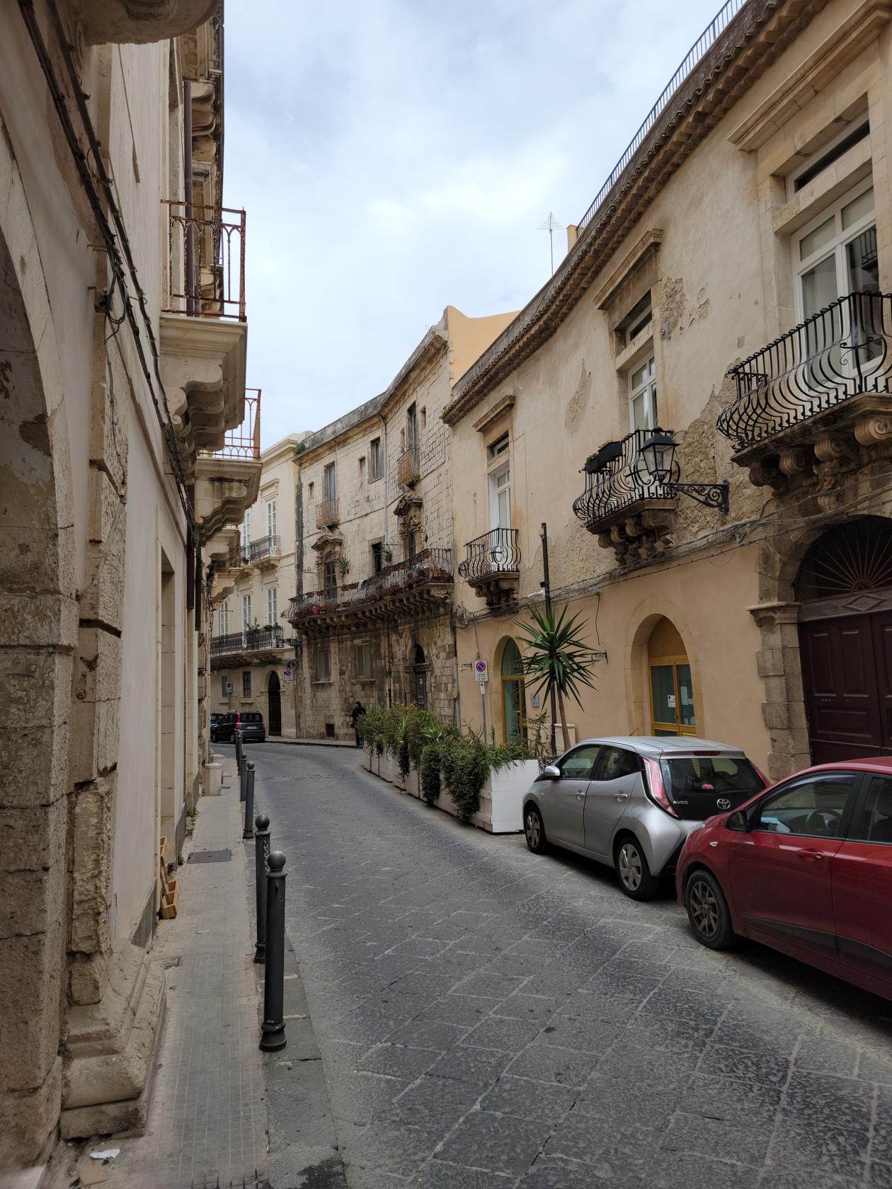
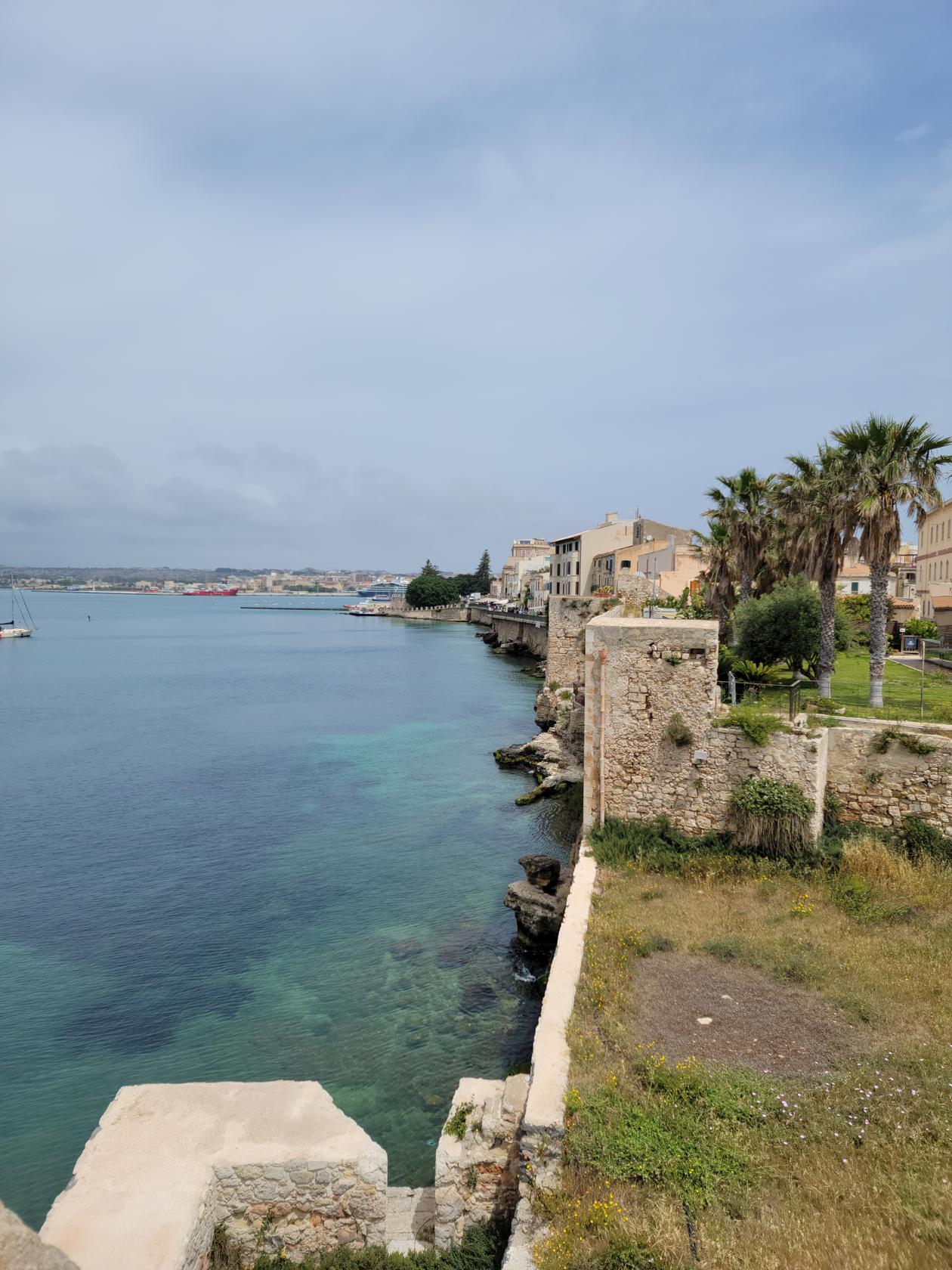
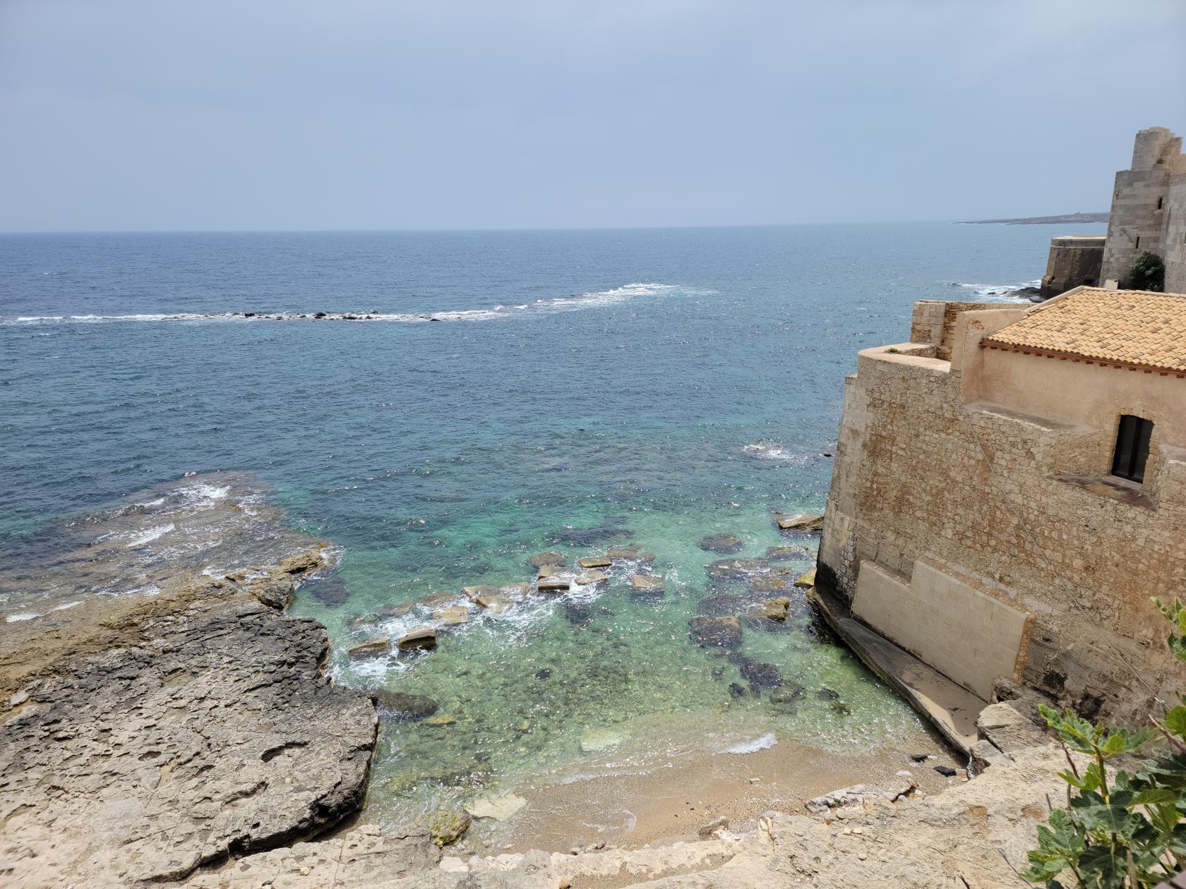
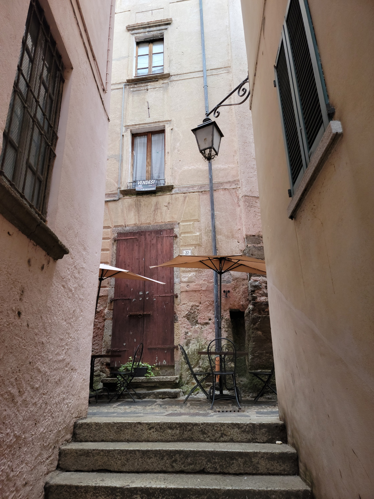
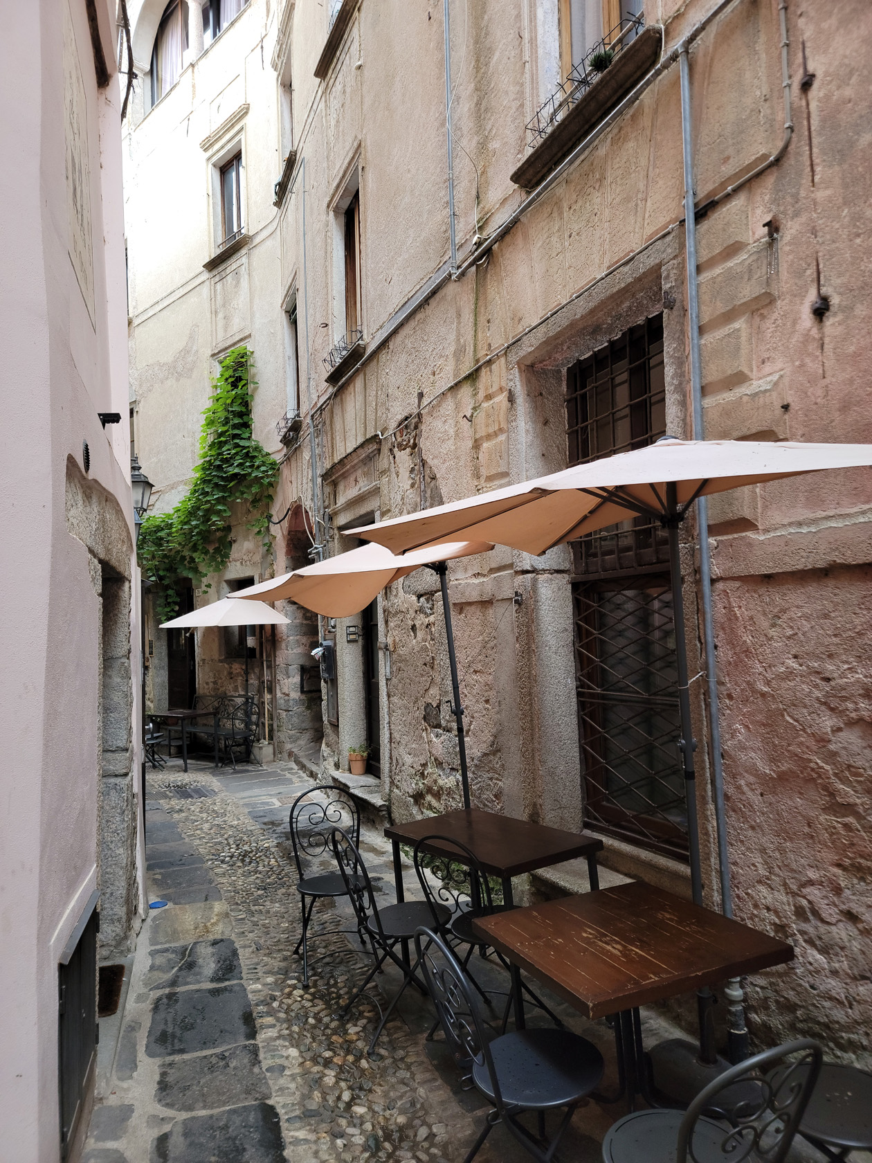
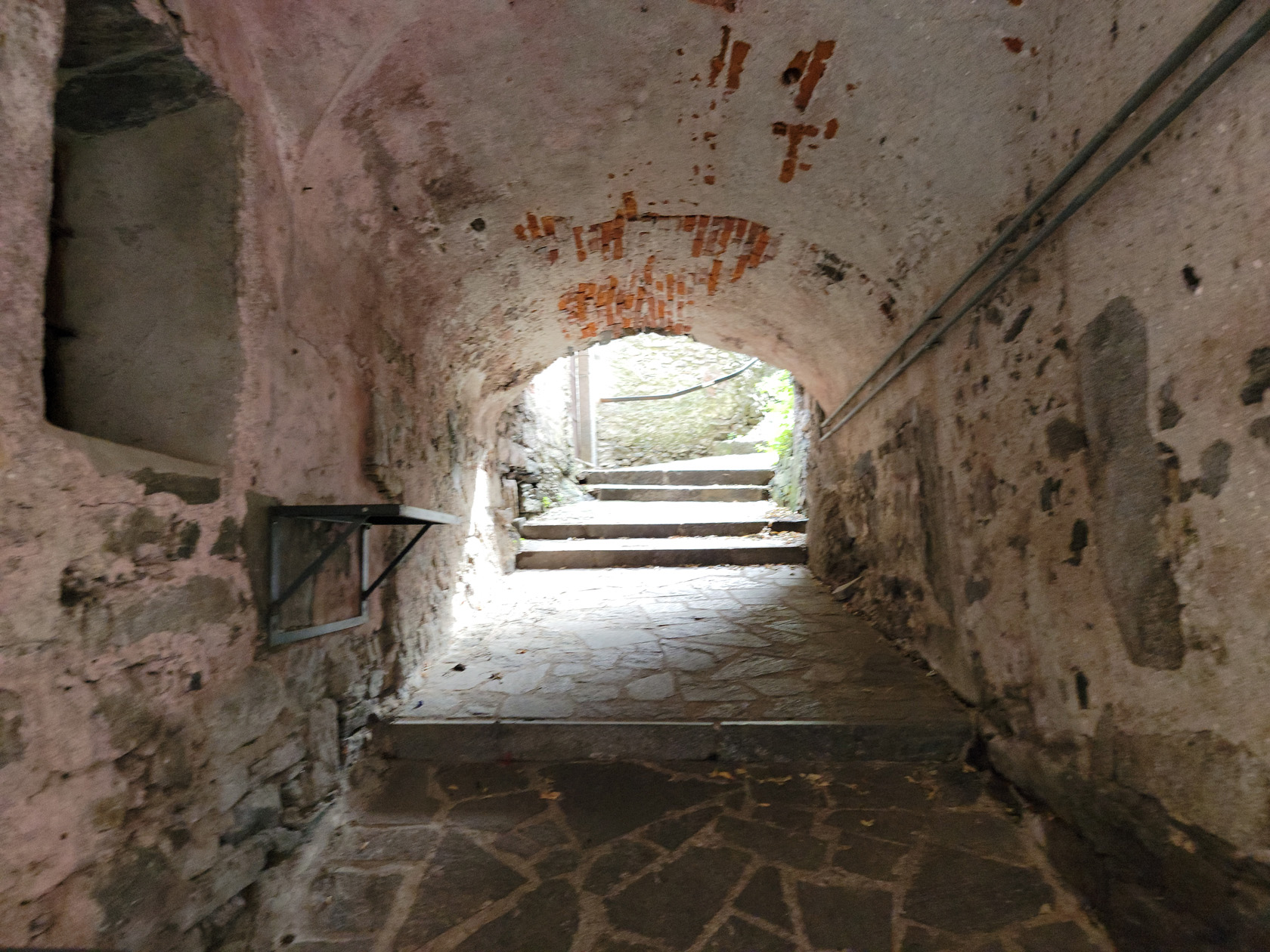
Island Of Ortigia
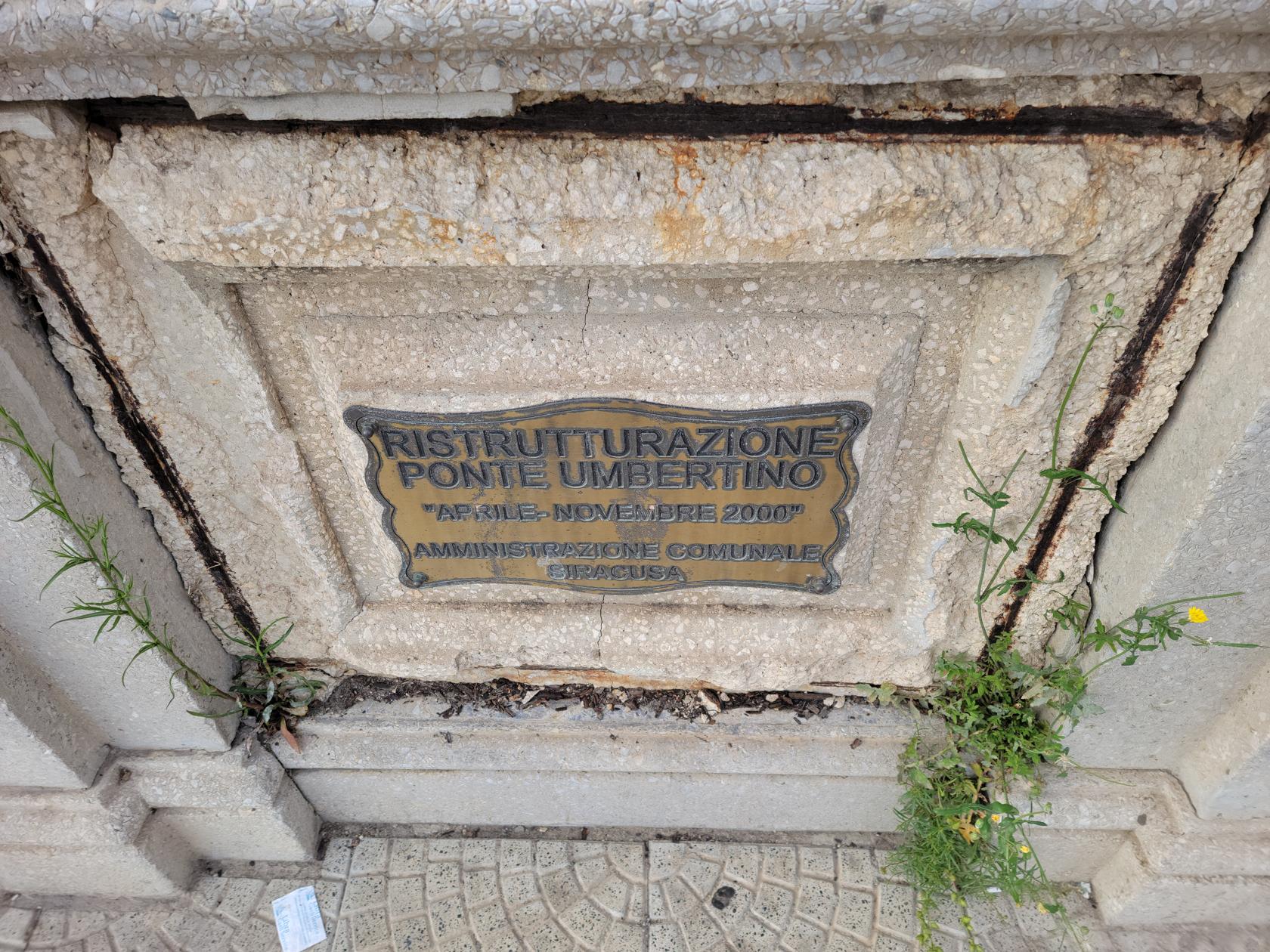
Ortigia, also known as Ortygia or Citta Vecchia (old city), is an island within the city of Syracuse. It is connected to the mainland and the rest of Syracuse by two bridges, the Umbertino Bridge and the Bridge of Santa Lucia.
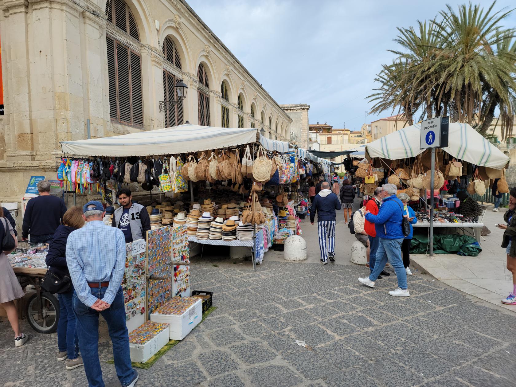
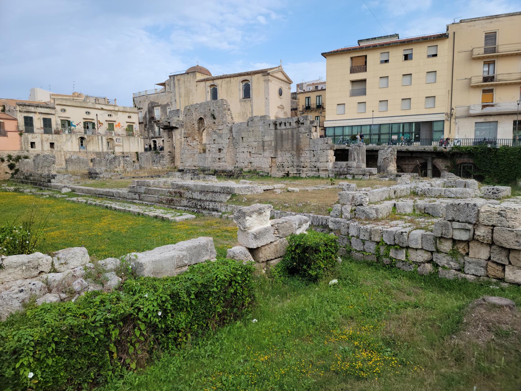
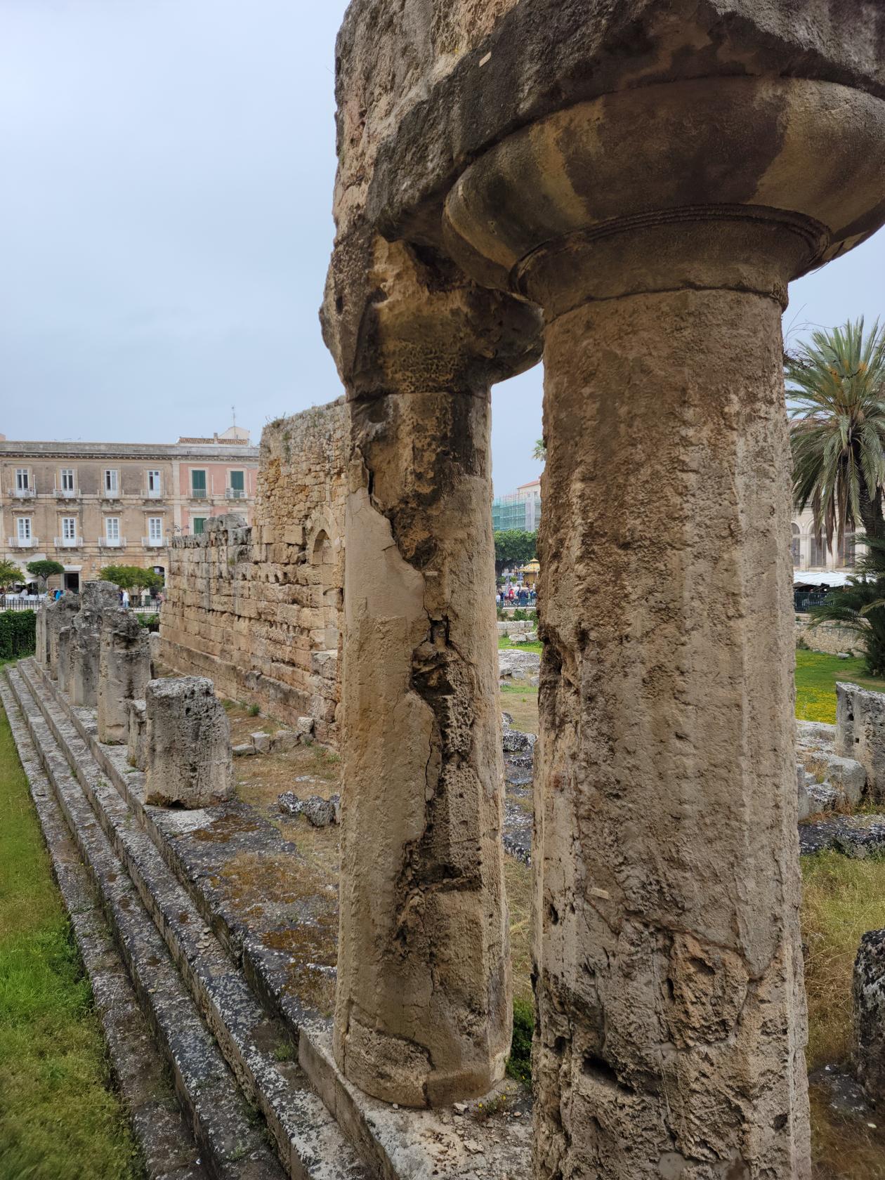
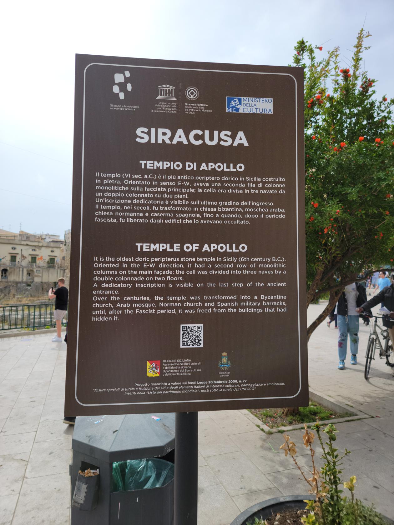
At the entrance of the ancient city is the Temple of Apollo. This is the first site anyone will see upon entering the city. Continuing around the temple visitors will automatically ascend the Corso Giacomo Matteotti, or the main street. This is the main shopping street, containing all contemporary brands and shops and will lead one to the Fountain of Diana.

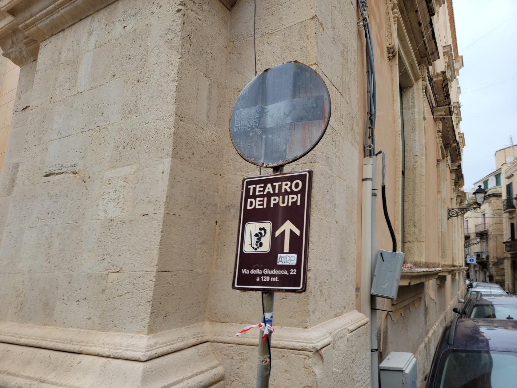
From this traffic-circle; going to the left will take one to the Puppet museum and theater, and the eastern part of the island; going right will take one to the Piazza Duomo and the tourist shopping street, which will also take you to the Syracuse Cathedral.

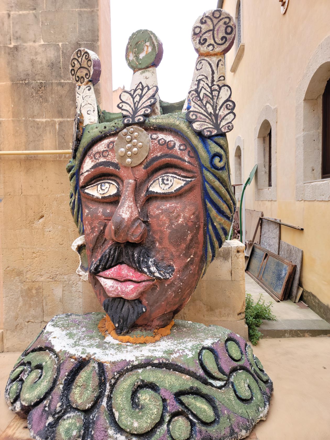
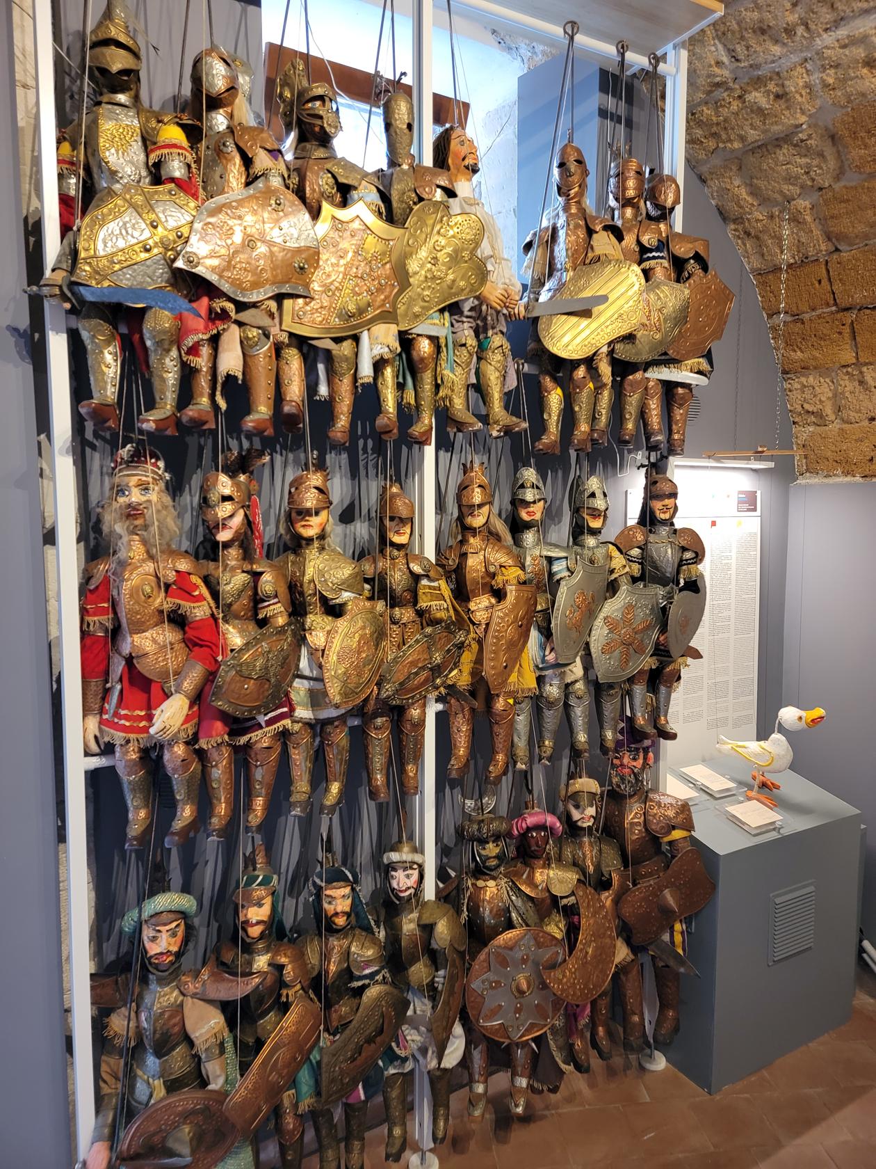
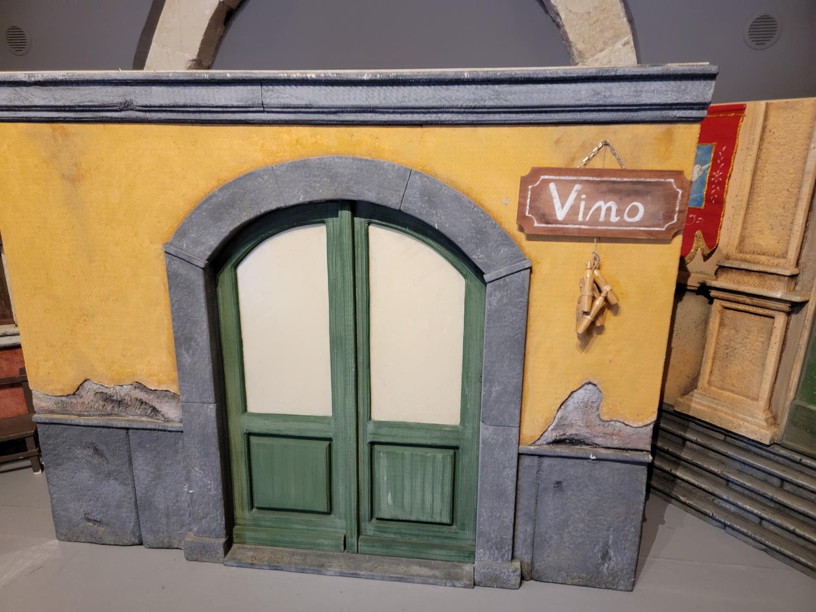
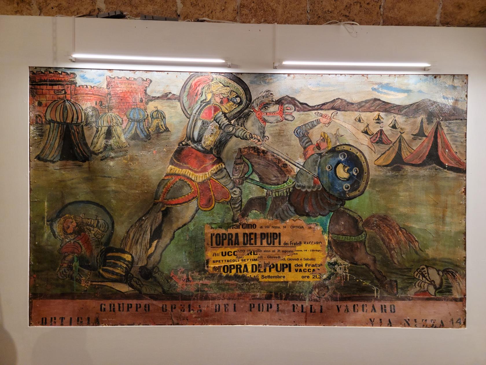
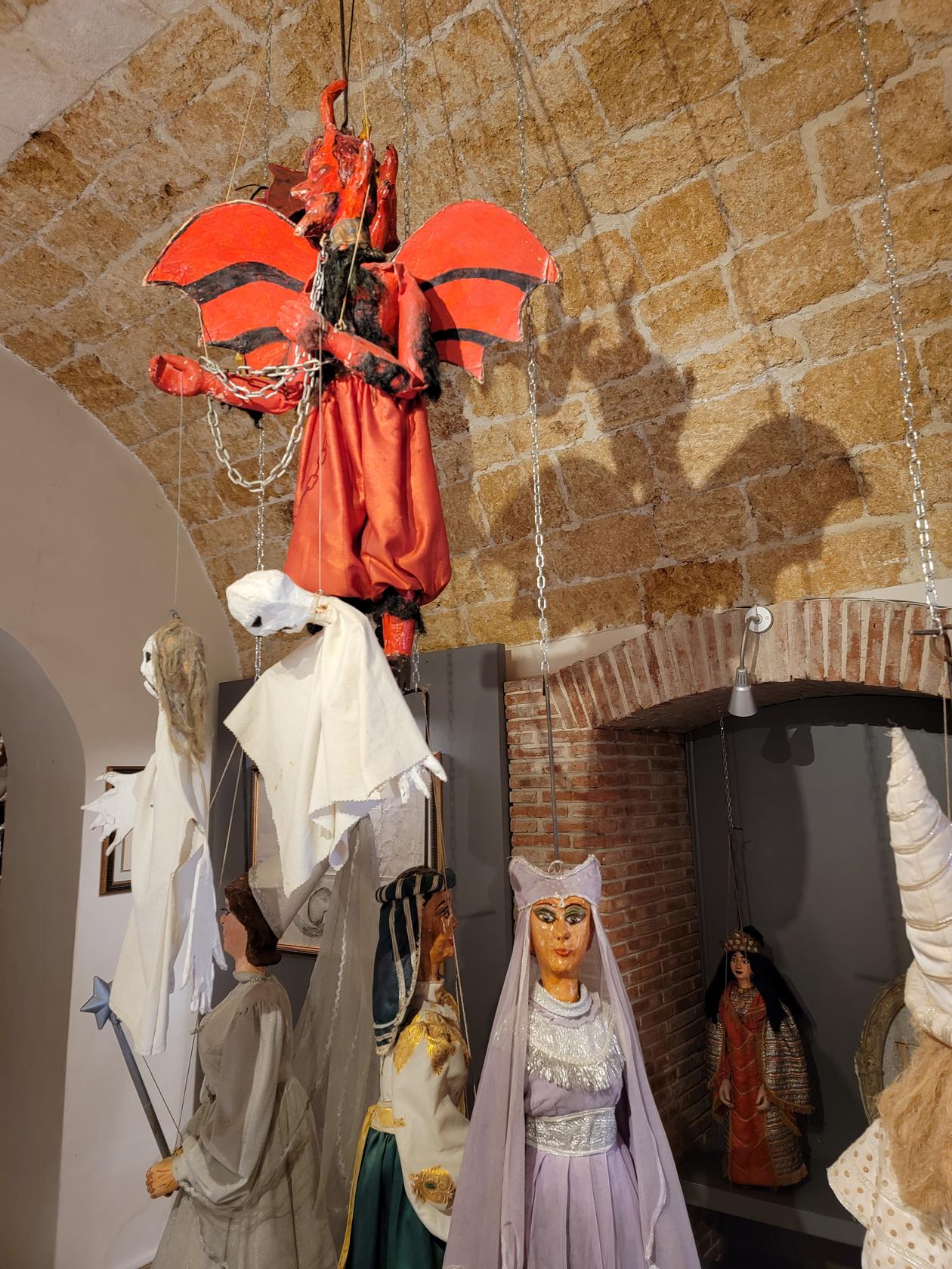
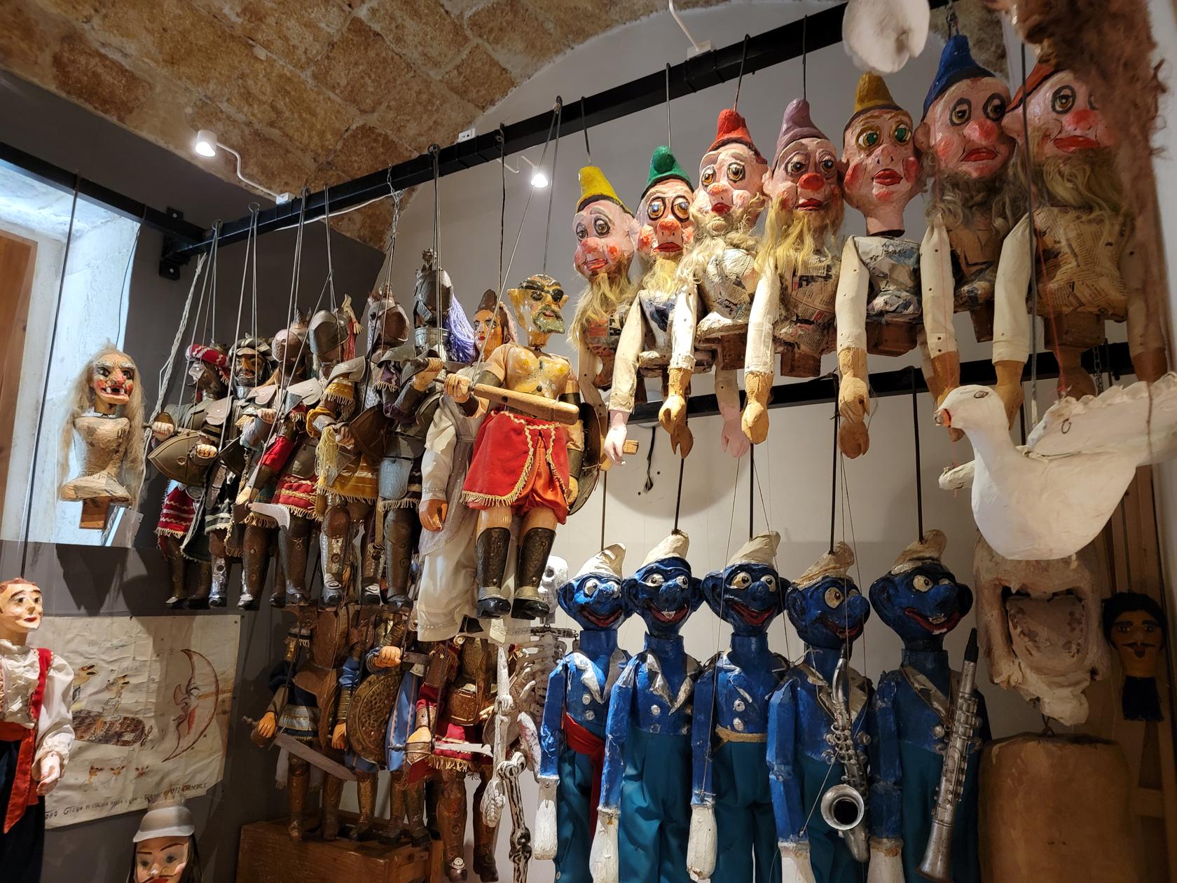
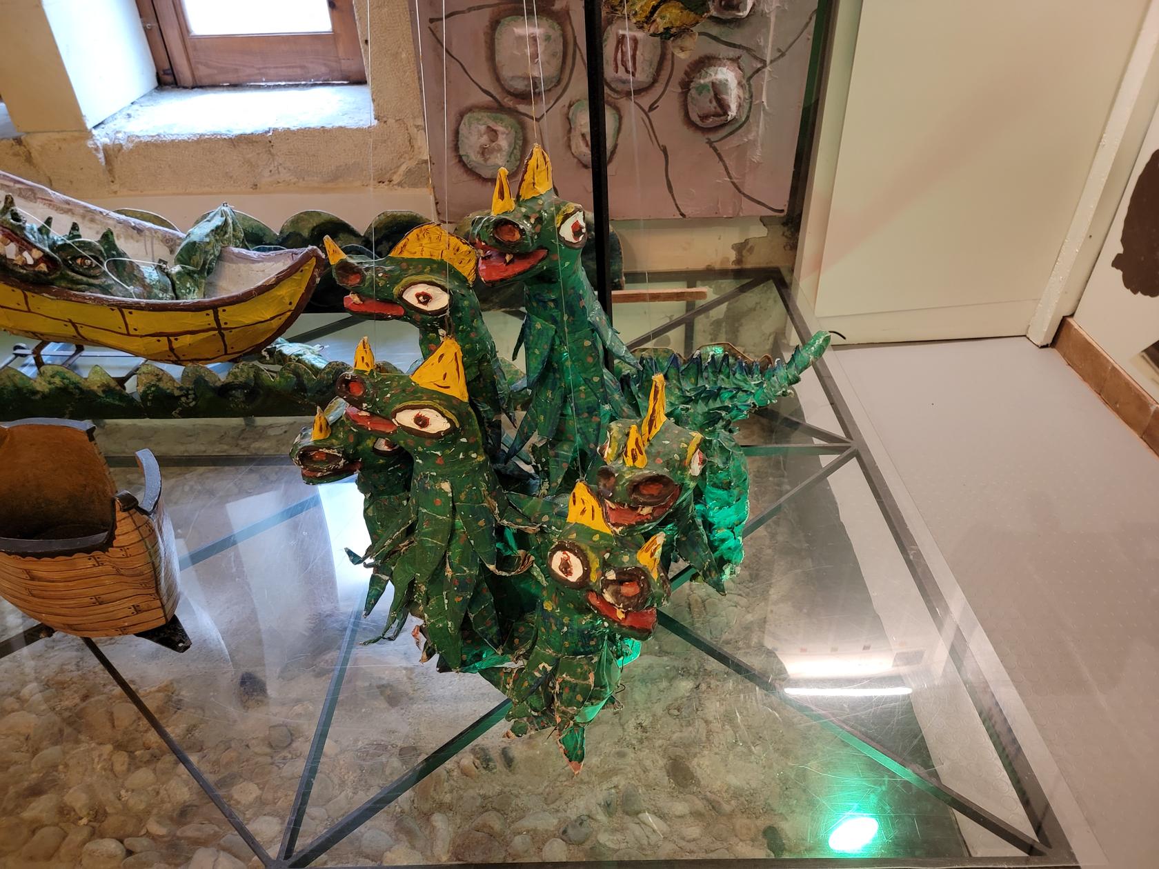
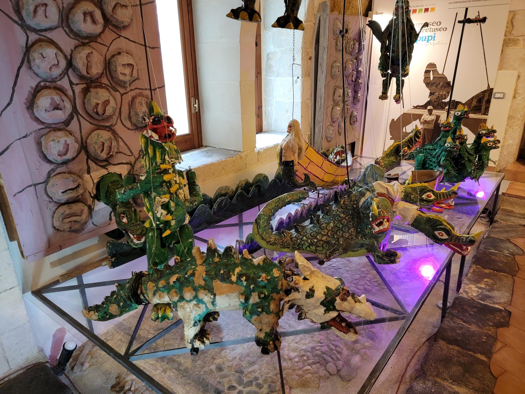
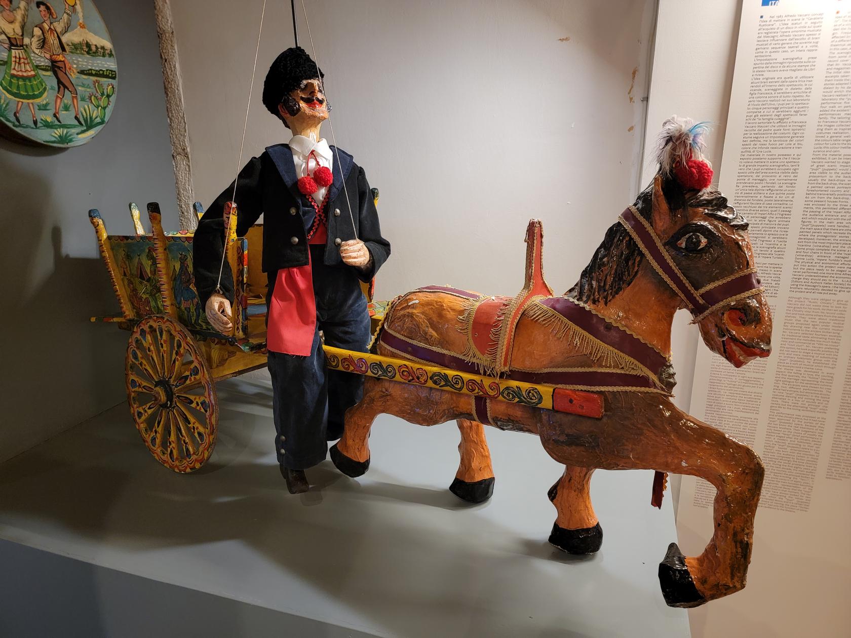
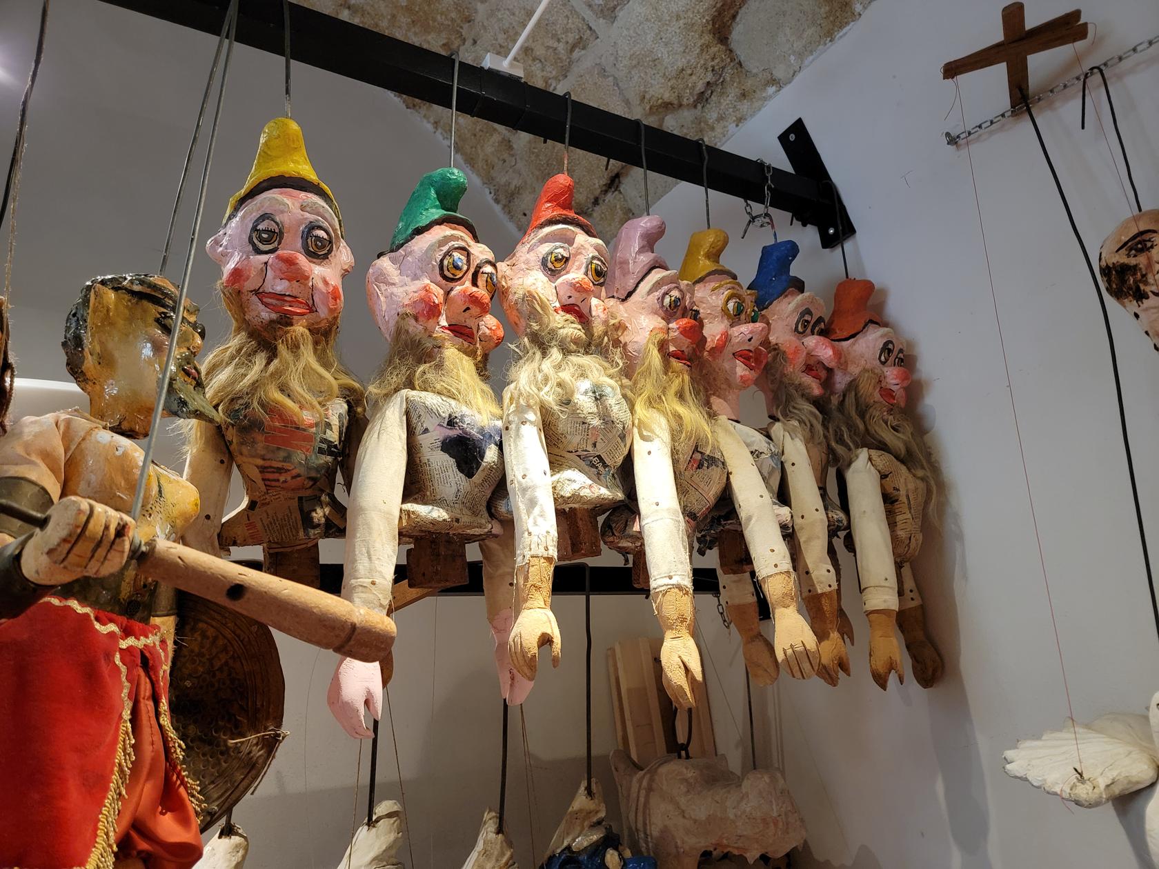
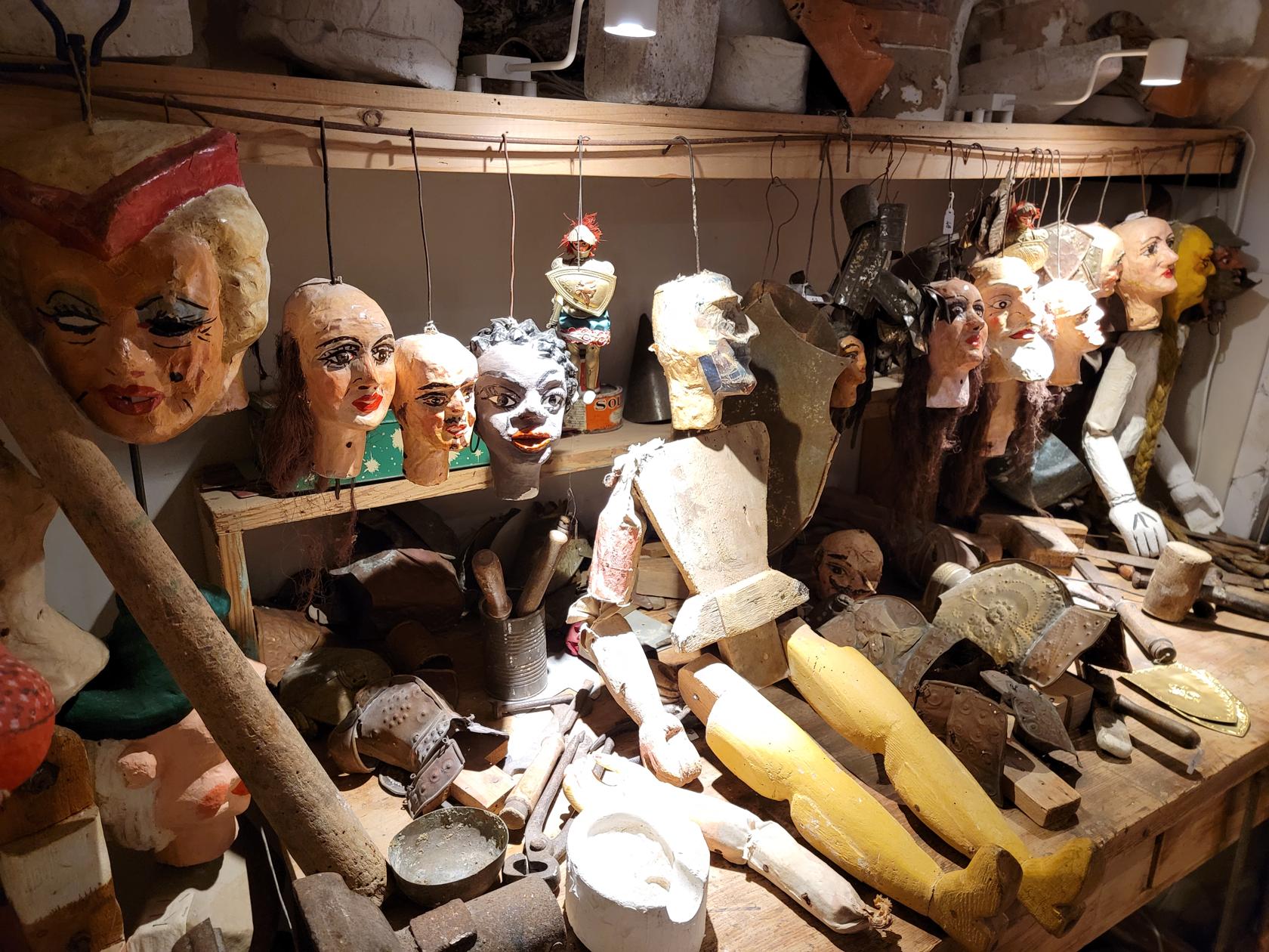
Puppet Museum
This is an interesting little museum covering the history of a specific heritage of puppet making on the island of Ortigia. Therefore, the puppets are specifically built around tales and folklore of the people of Sicily.
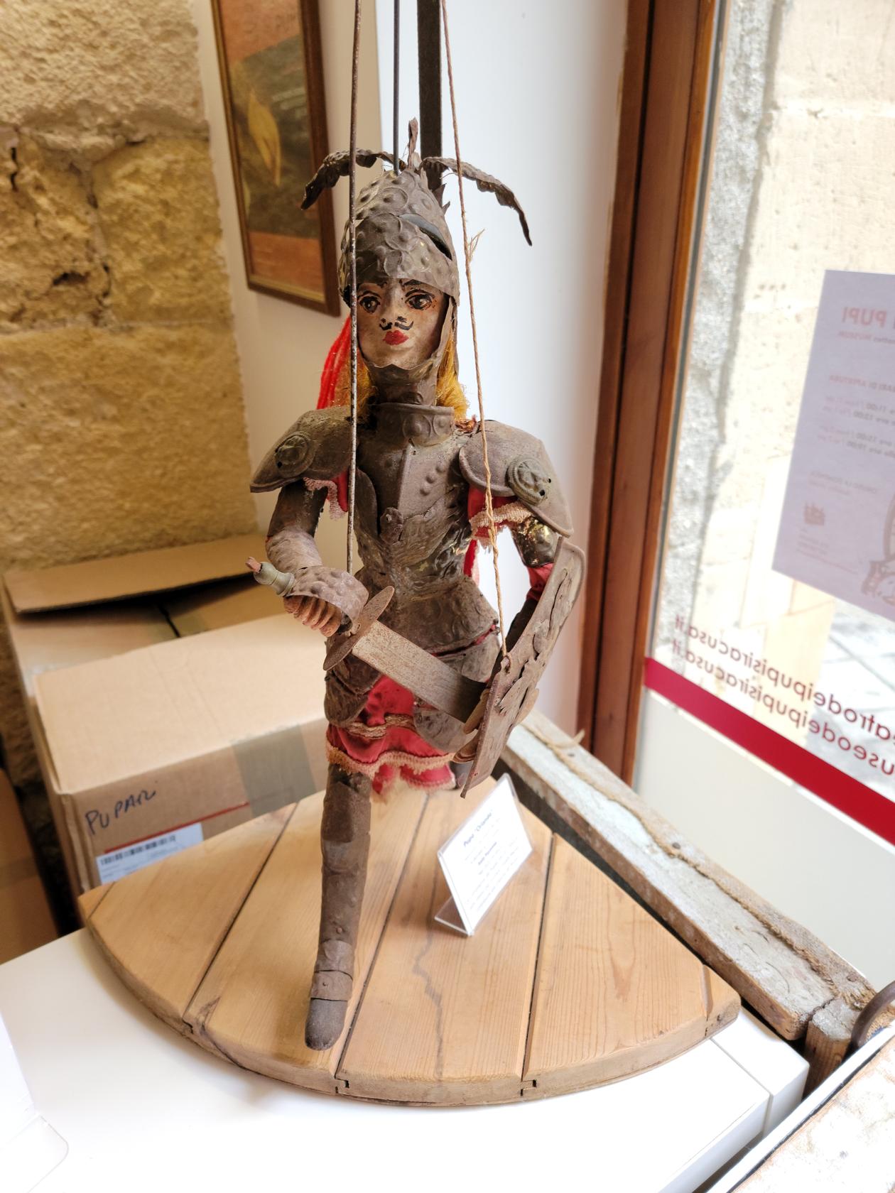
The puppets range in size from small (approx. 20cm in height), all the way to life size. There are many examples of finished products and some of contemporary origin. One display also shows the progression of making a puppet, from the carving stage through final assembly. All very instructive.

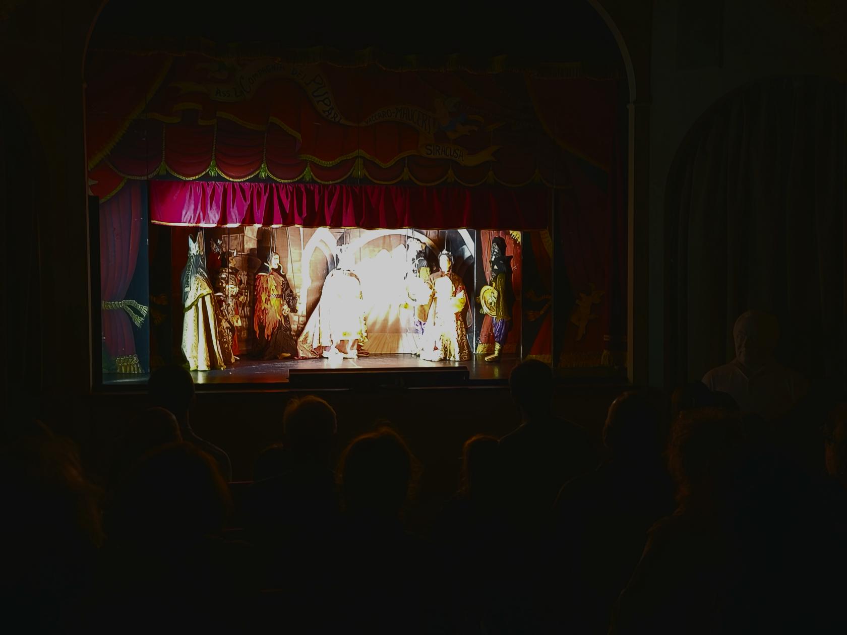
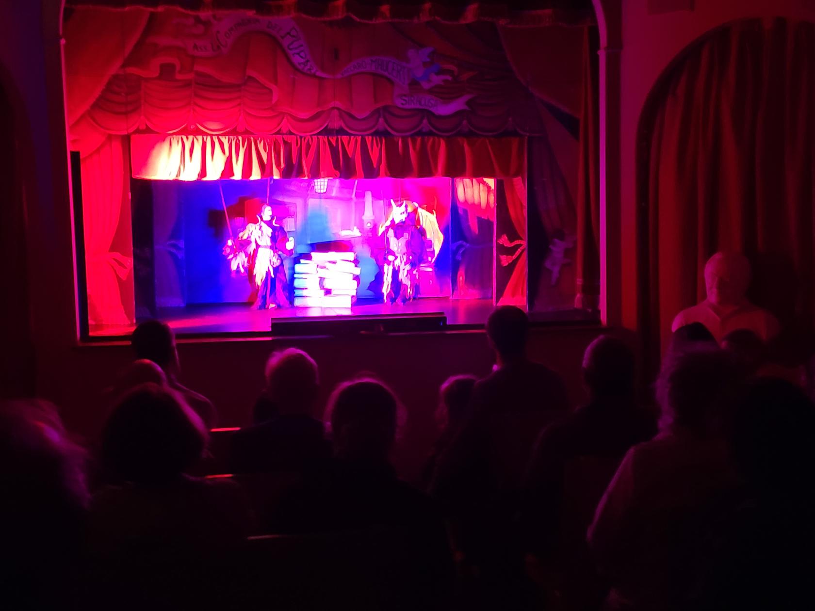
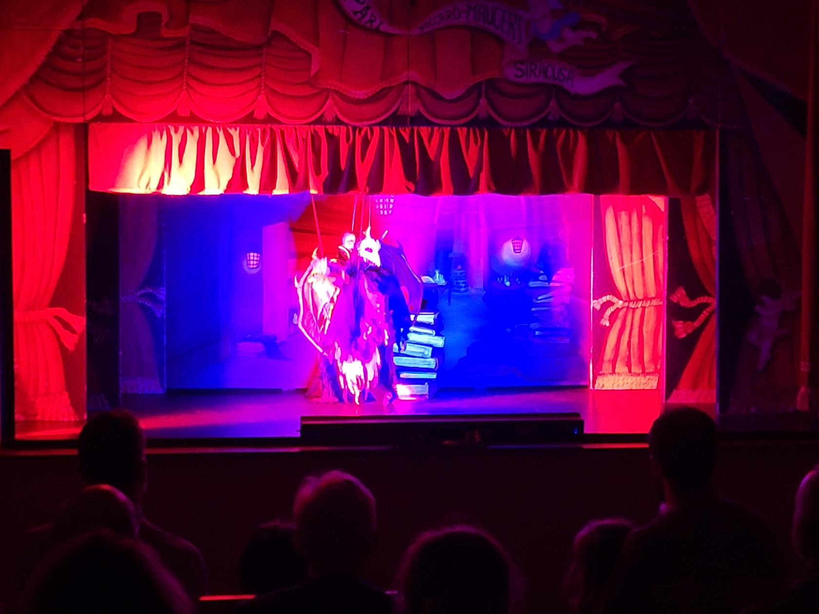
Puppet Theater
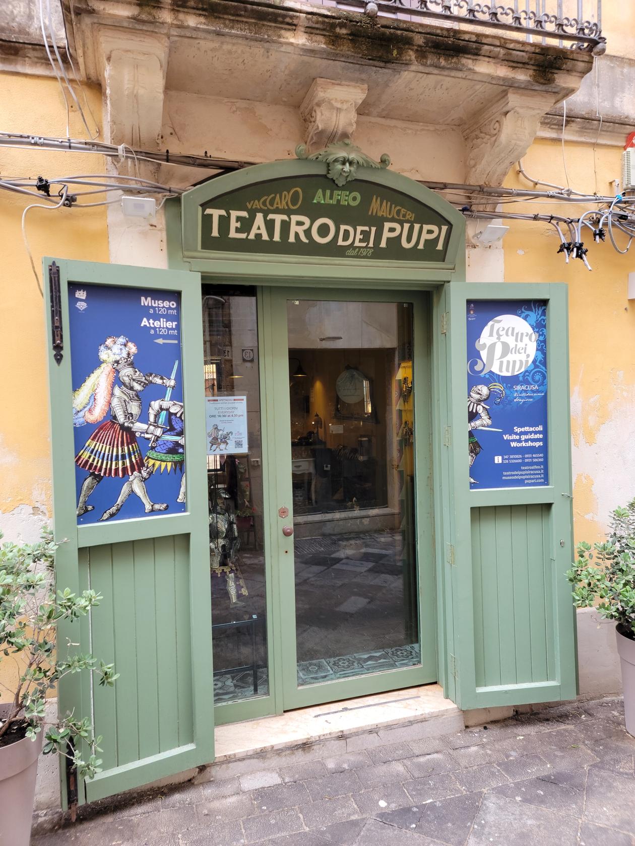
I was originally hesitant to go the Puppet Theater. But after attending a show, I am glad I had. Not only does the host explain the tale in great detail in English, before it is performed. But the actually acting and enactment of the tale was so compelling, I was captivated, even though I had no idea what was being said at many points during the performance.
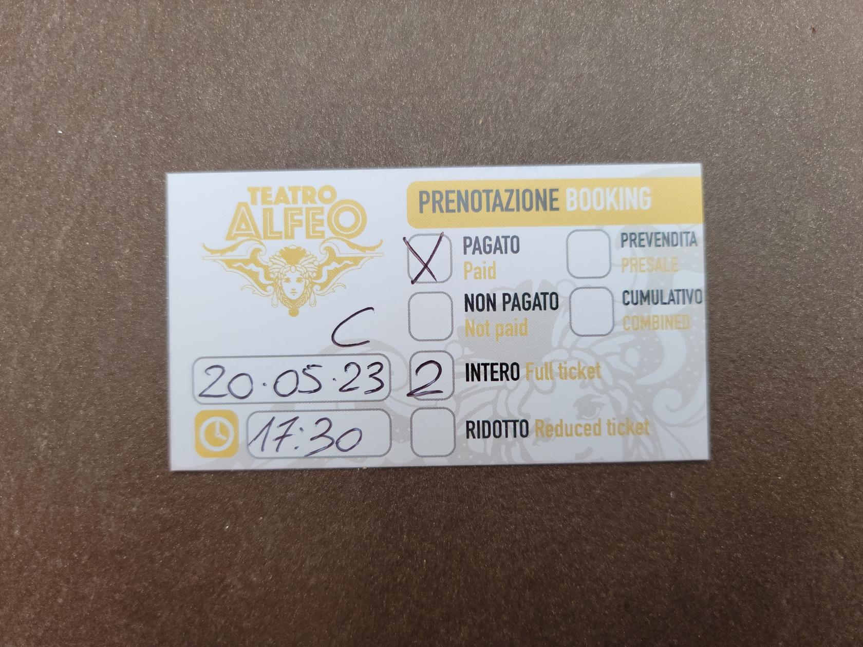
The theater space is very personal, with only enough room for about 50-60 people, and they will seat others if needed in the aisle (on the steps). Therefore, if you need to take any medically necessary precautions in cramped quarters, be prepared before you arrive.
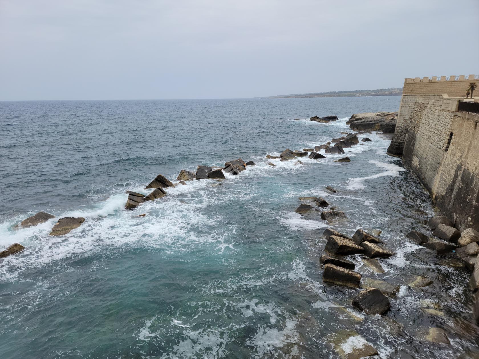
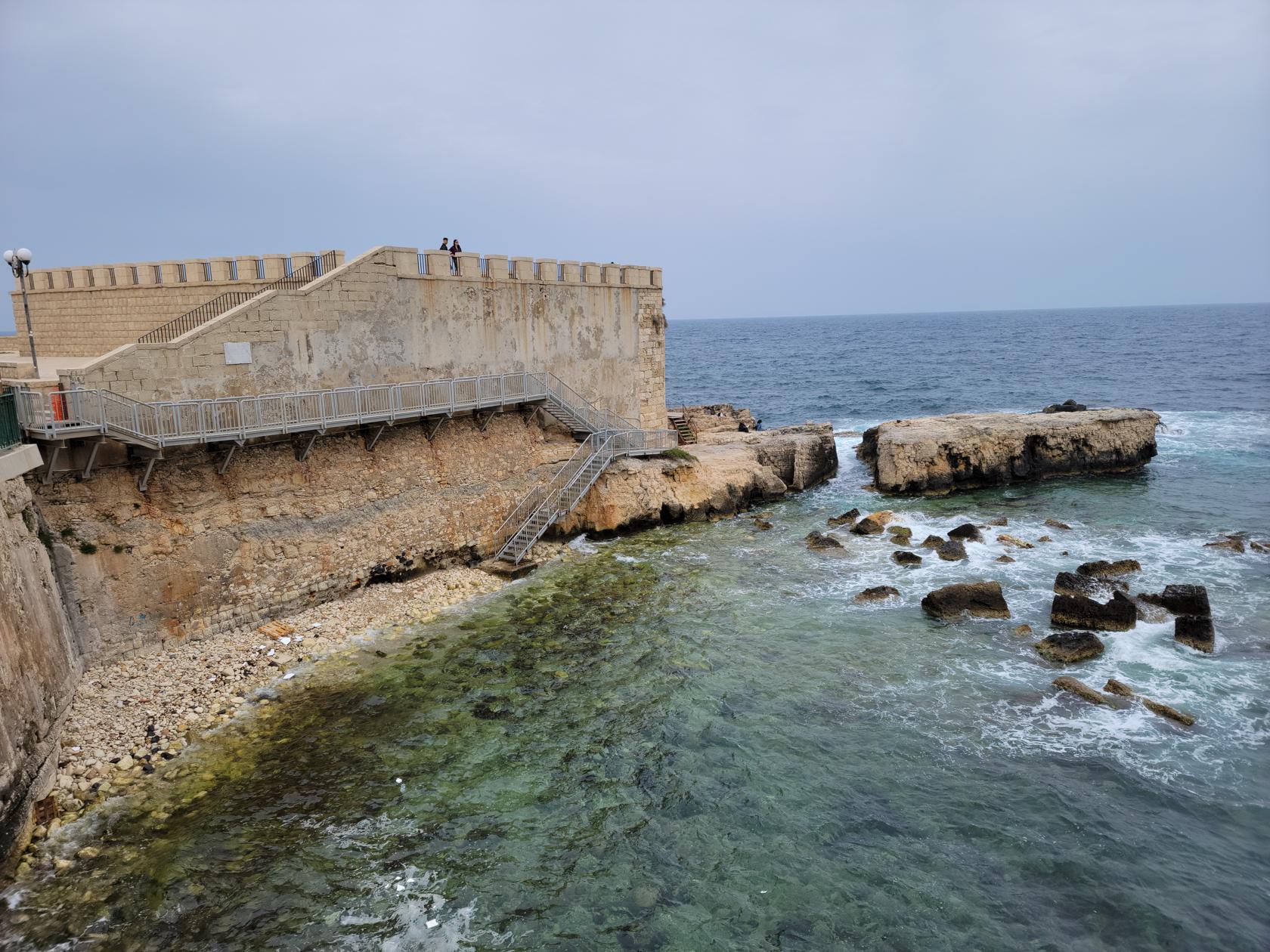
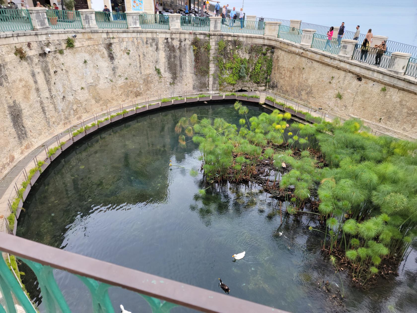
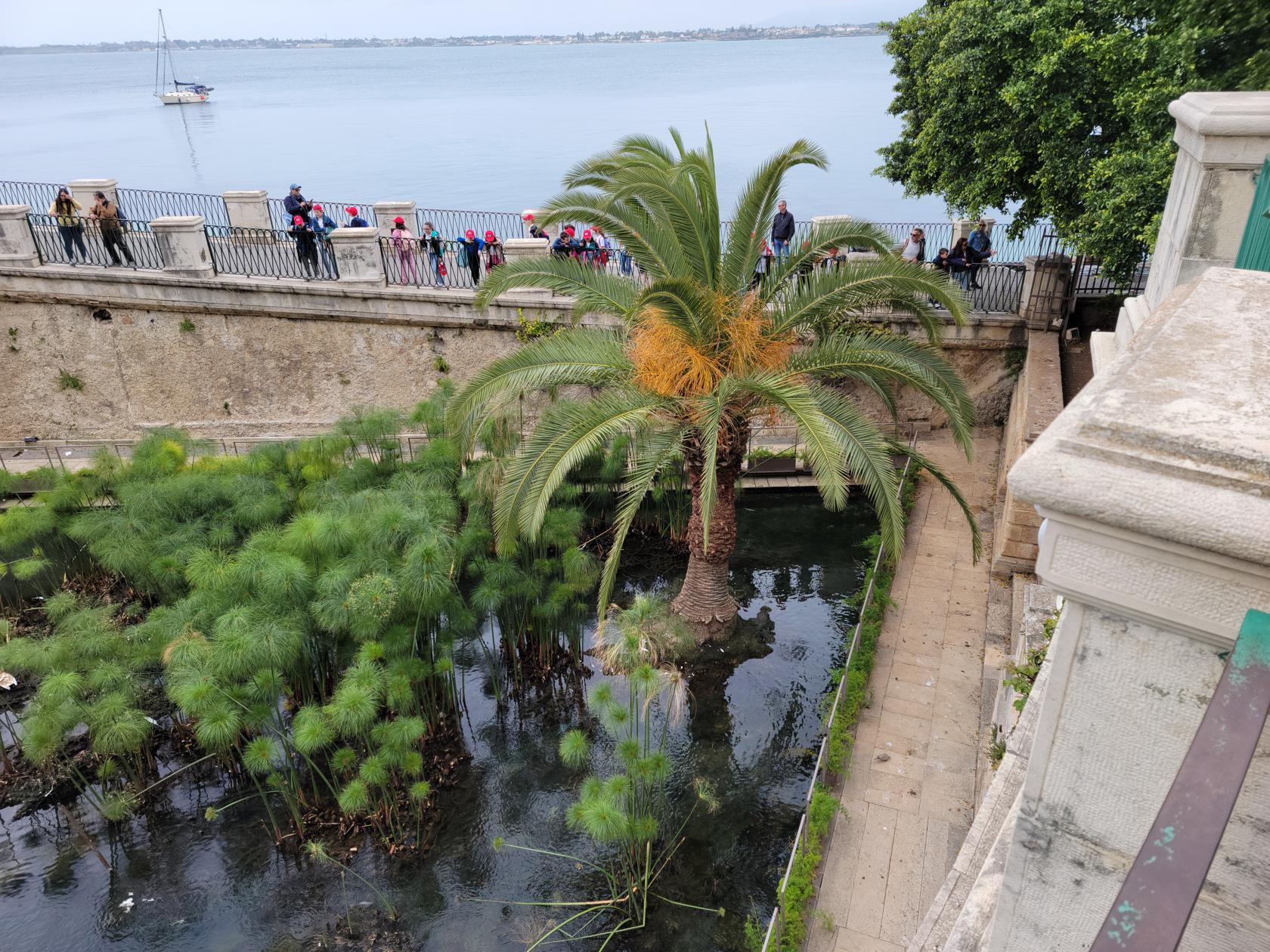
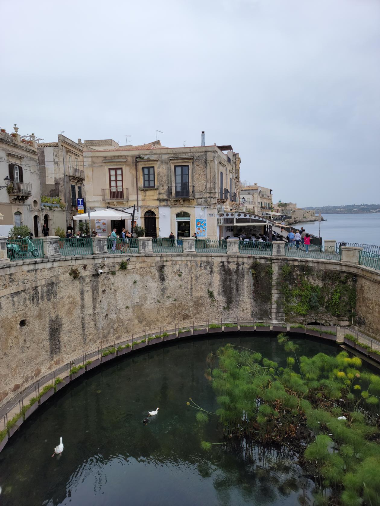
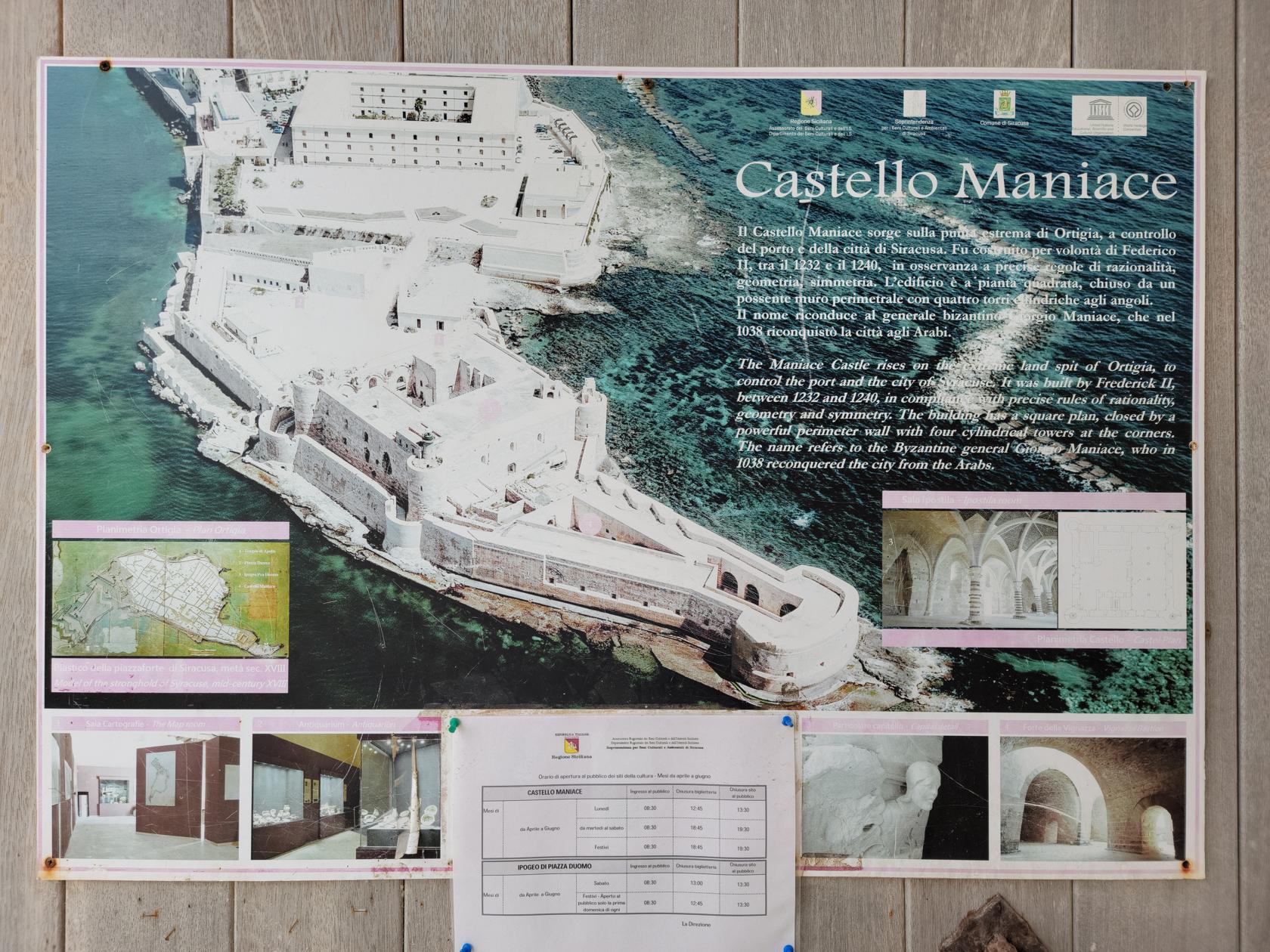
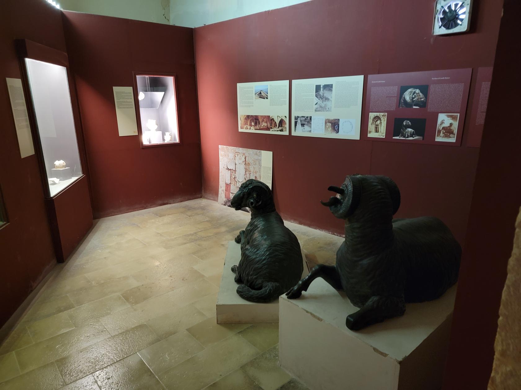
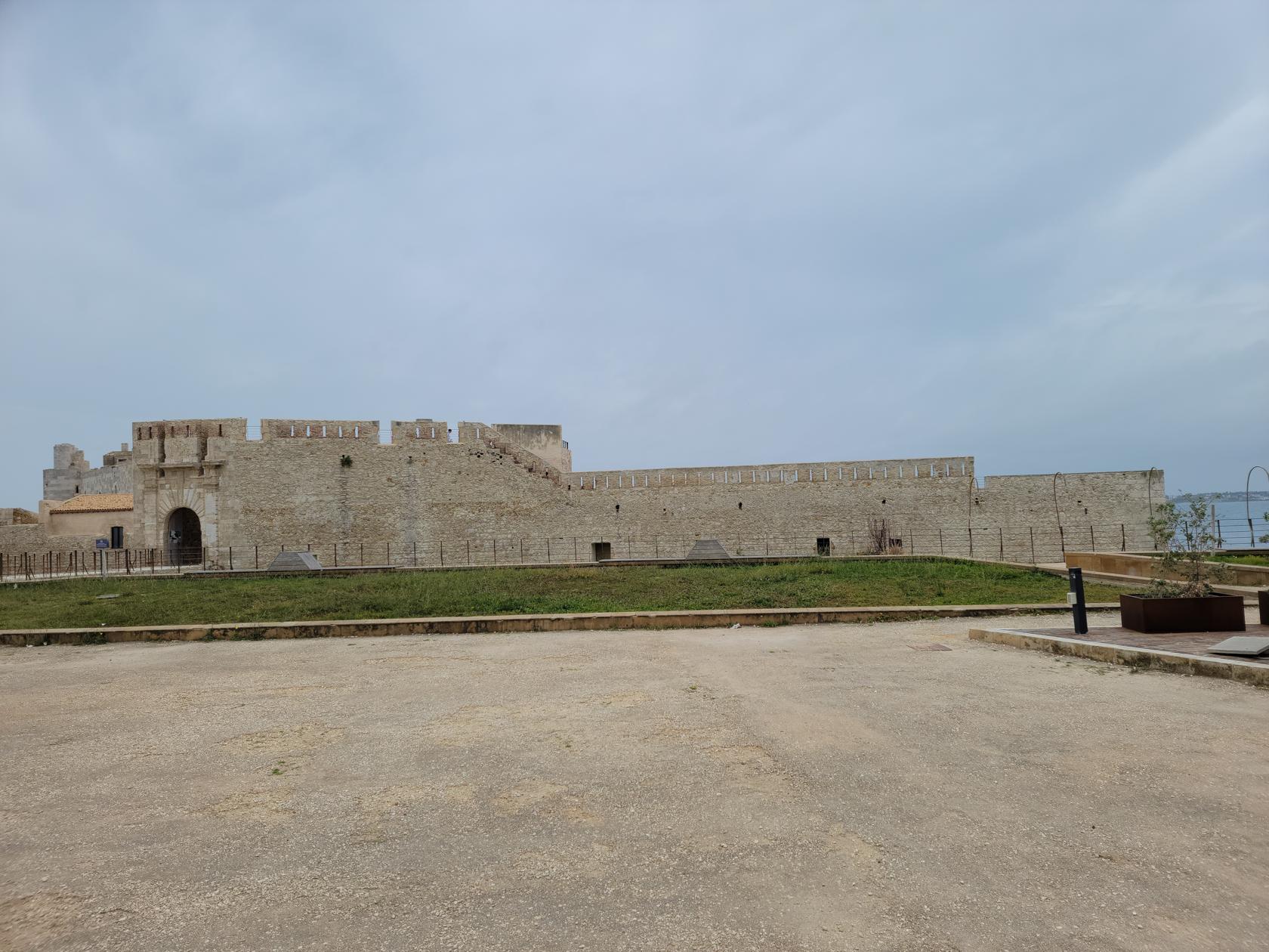
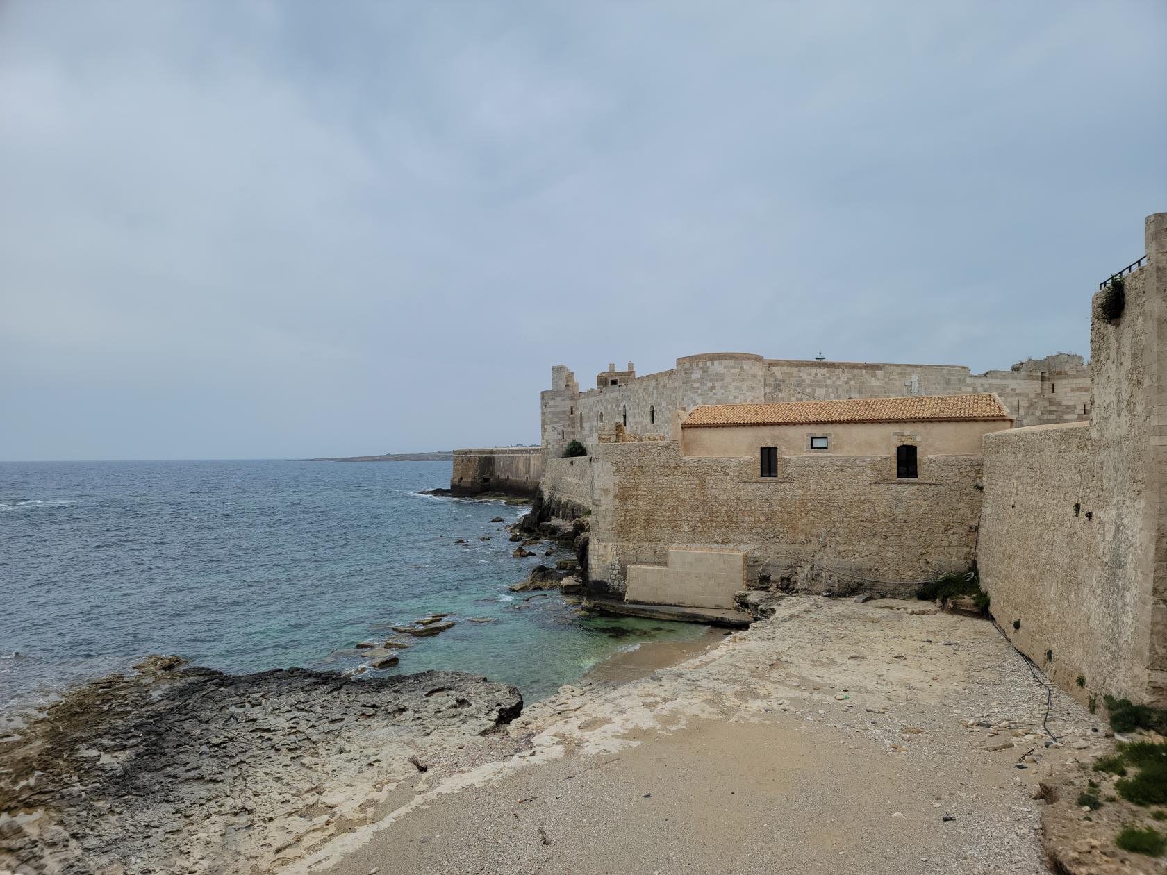
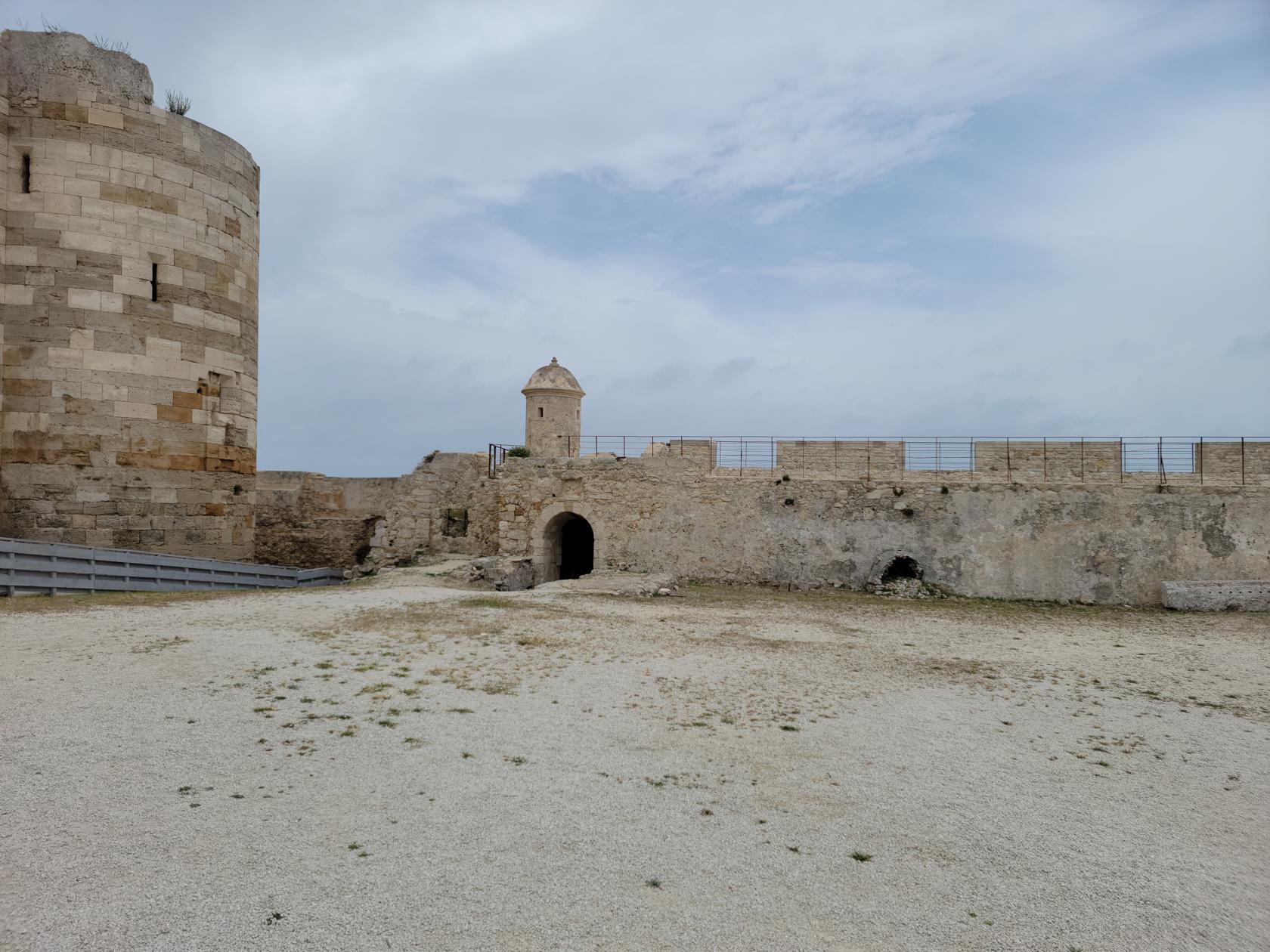
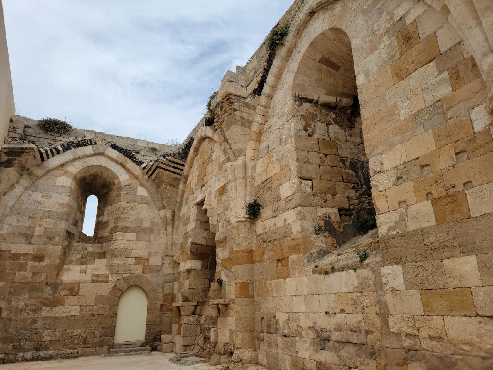
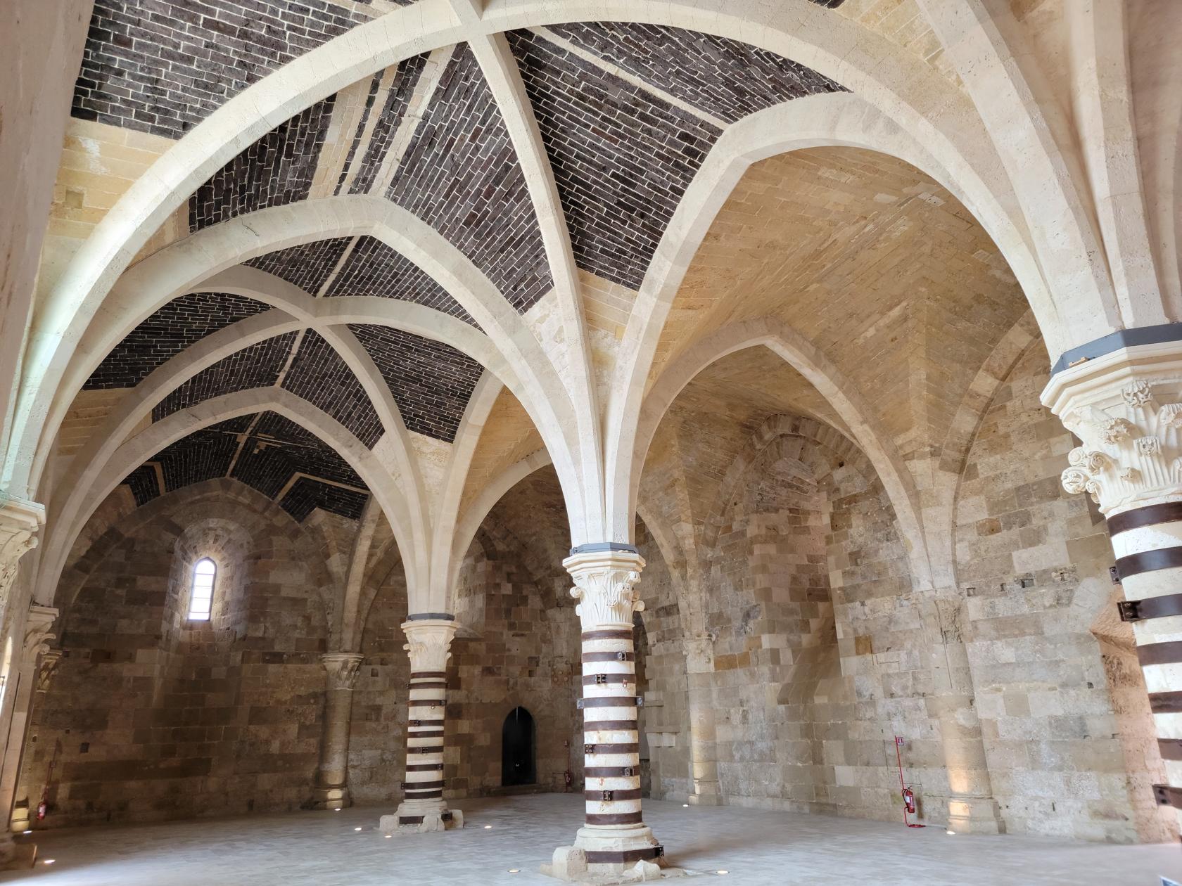
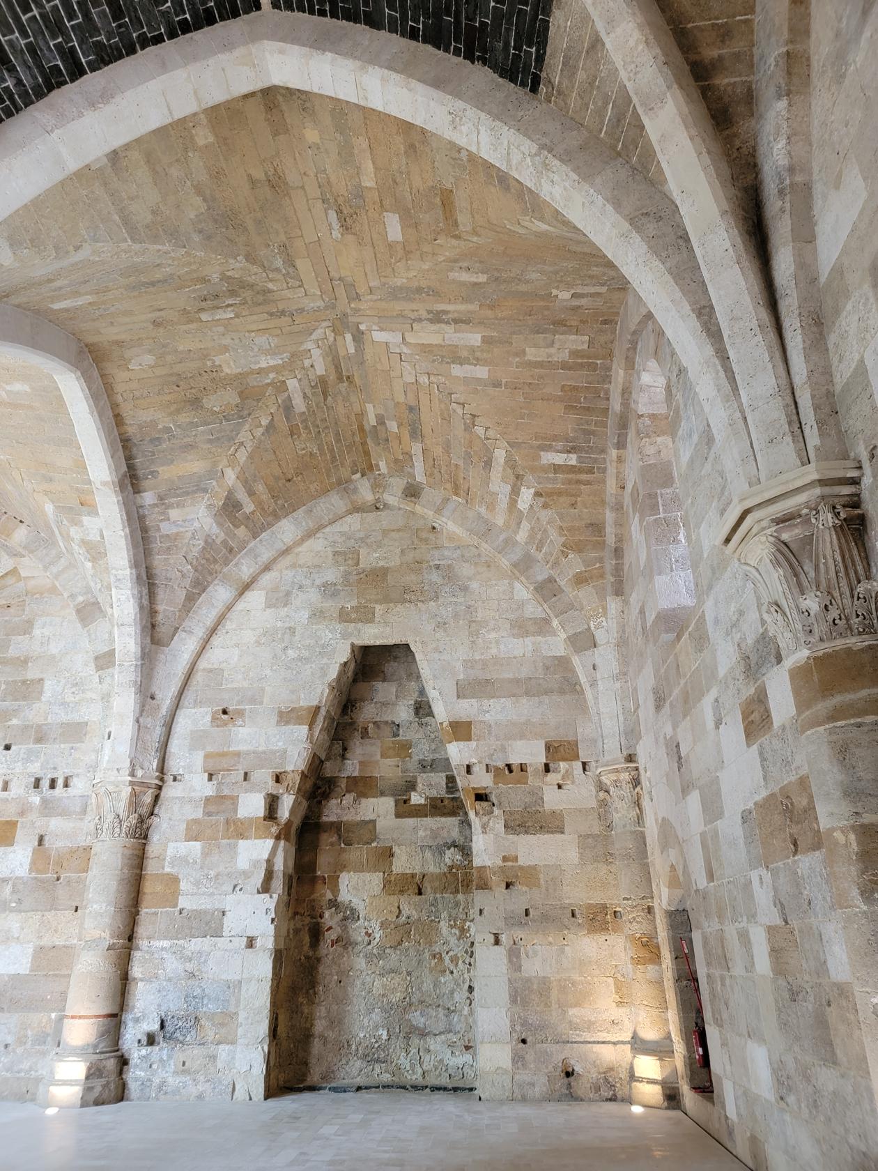
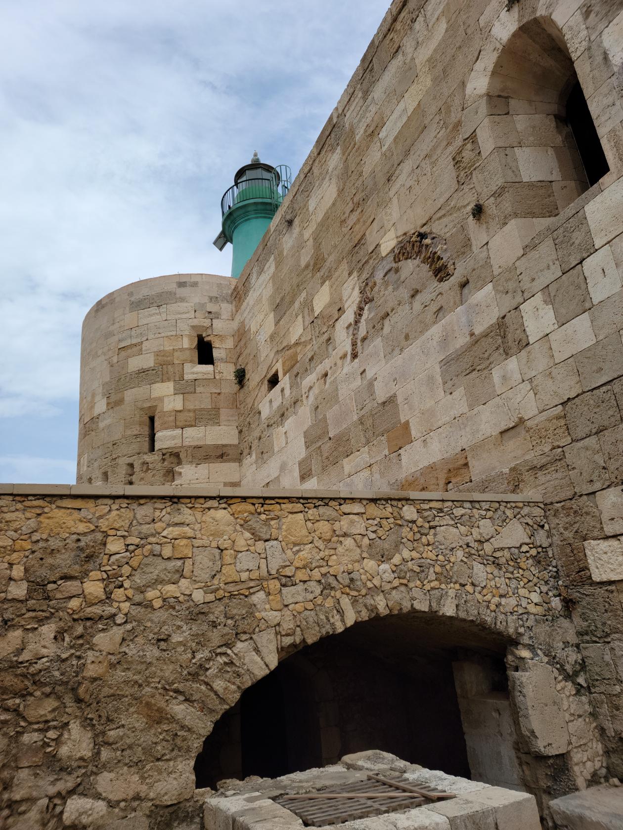
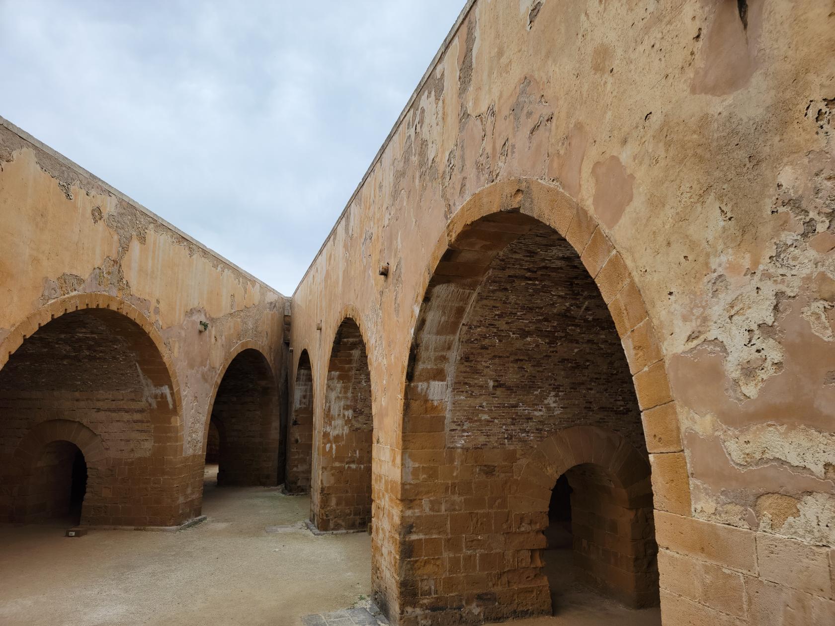
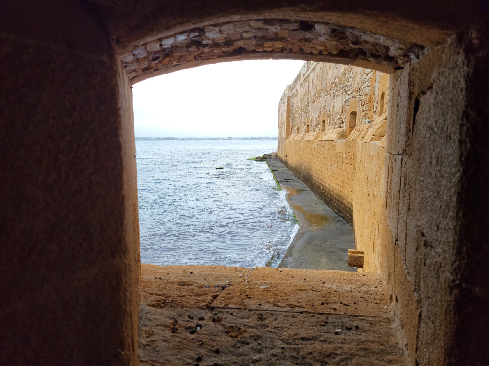
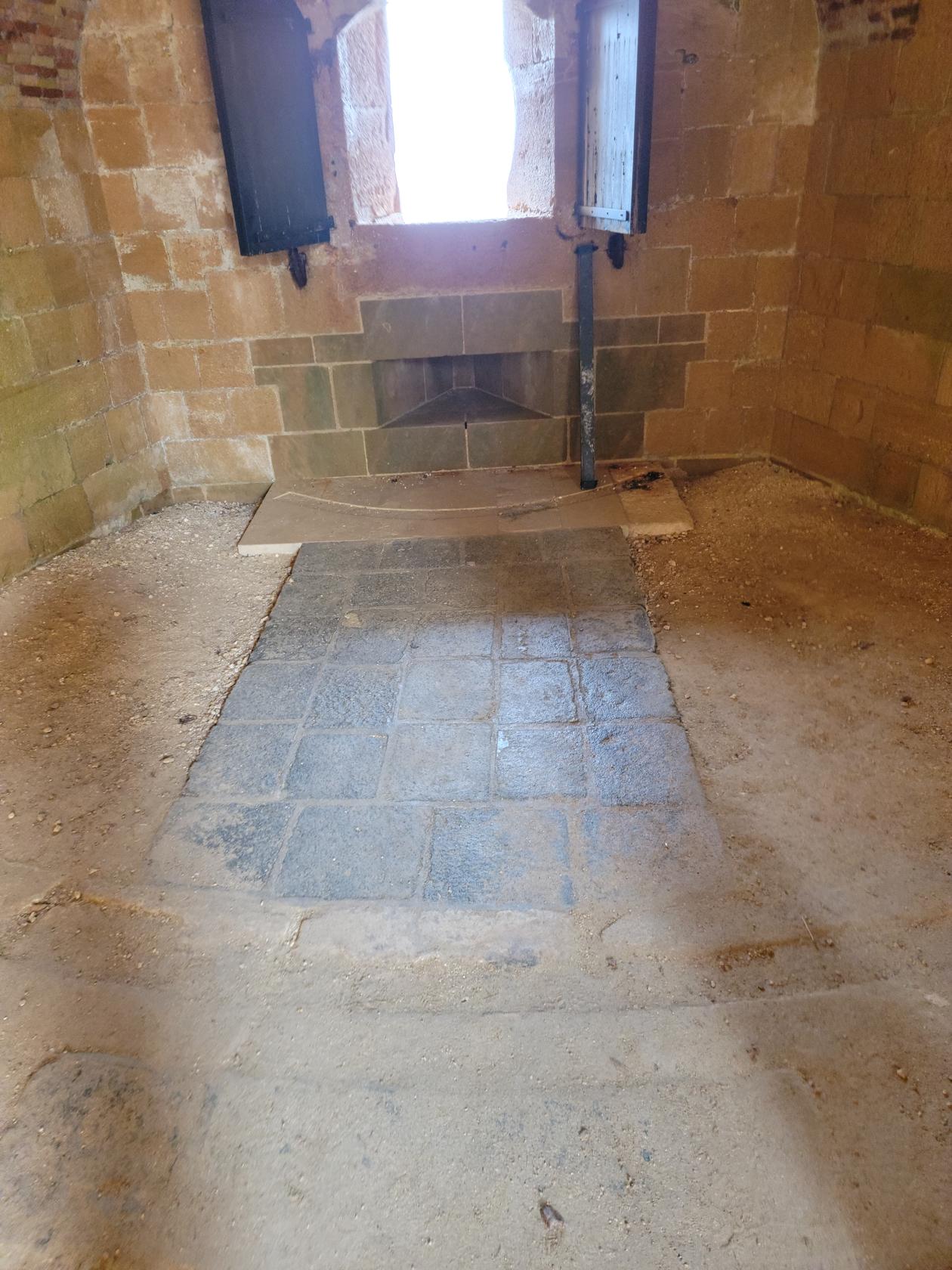
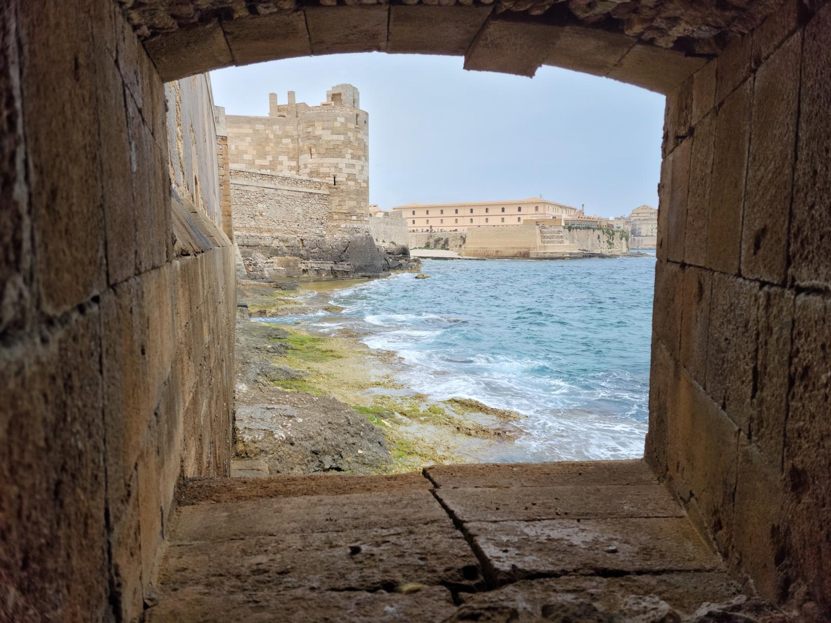
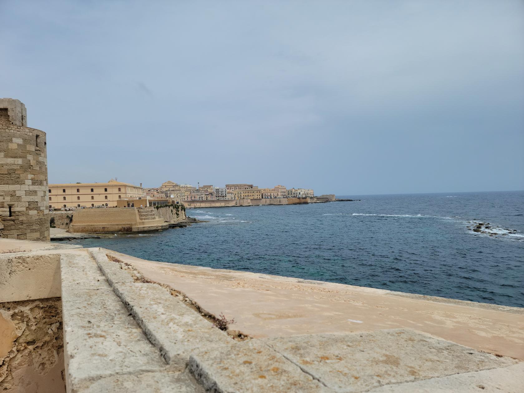
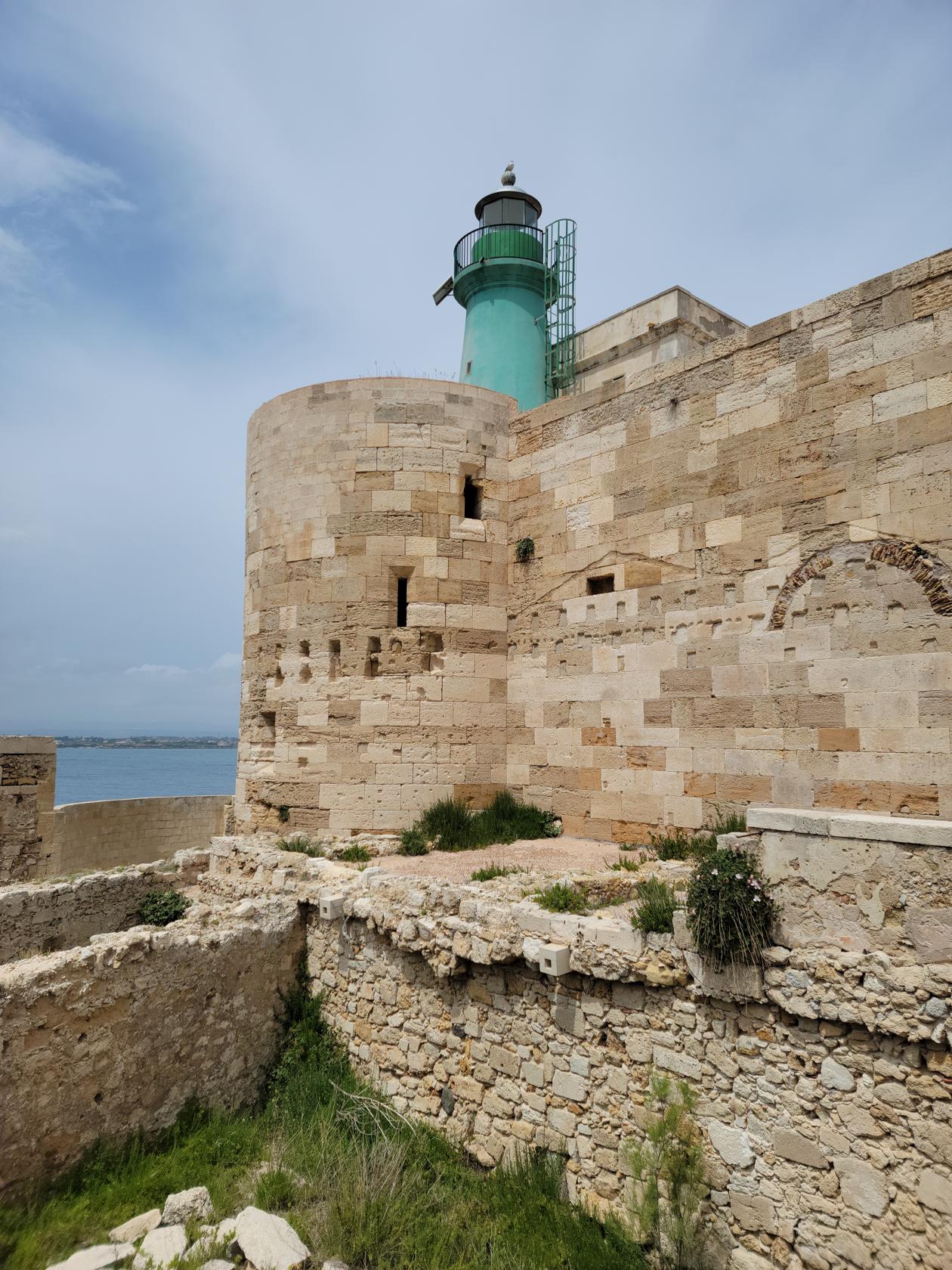
Maniace Castle
The Maniace Castle sits at the tip of Ortigia and commands an open view of the Ionian Sea. It is a rather simple structure in function and betrays itself to its many uses down through the ages by its many apparent modifications, including the installation of the lighthouse.
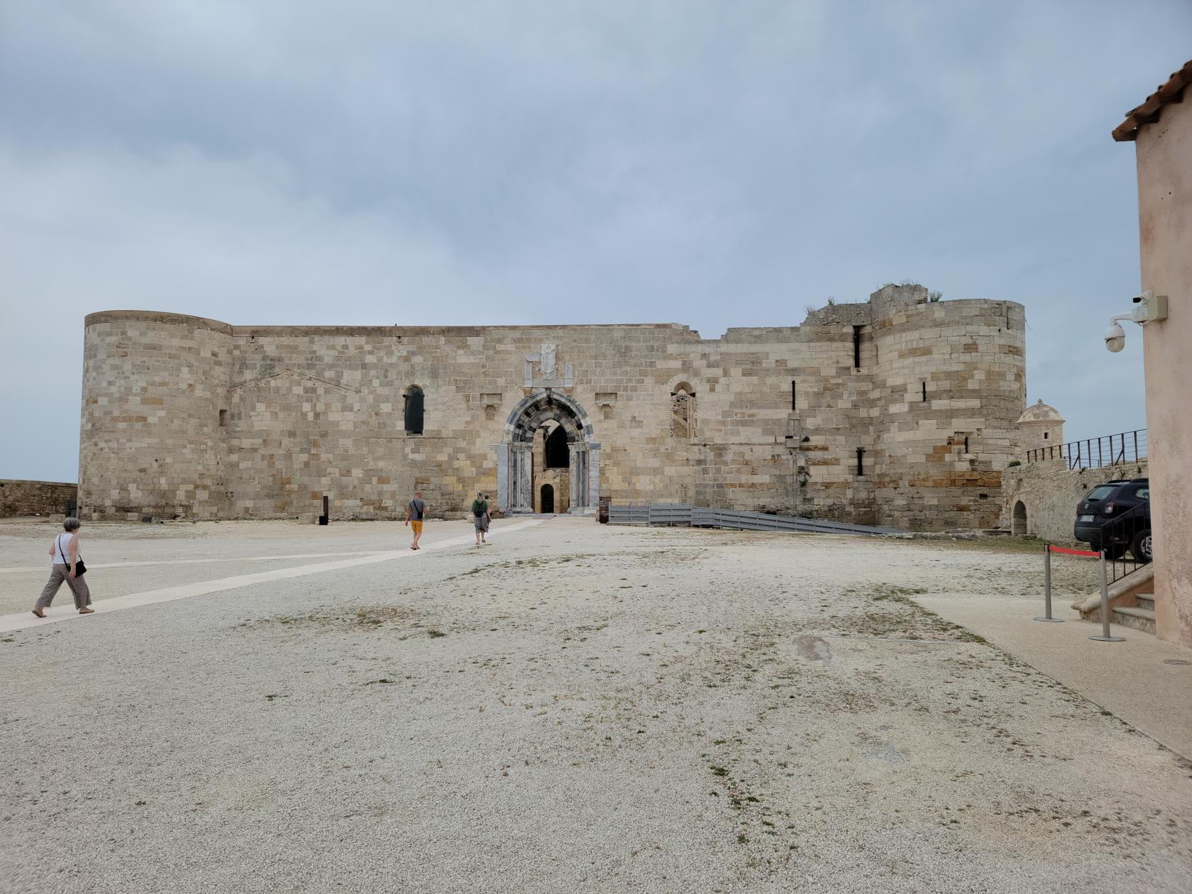
It is however complete with a moat, or in this case, a large drained sunken area where you can wander and only guess what it used to be like back in the day.
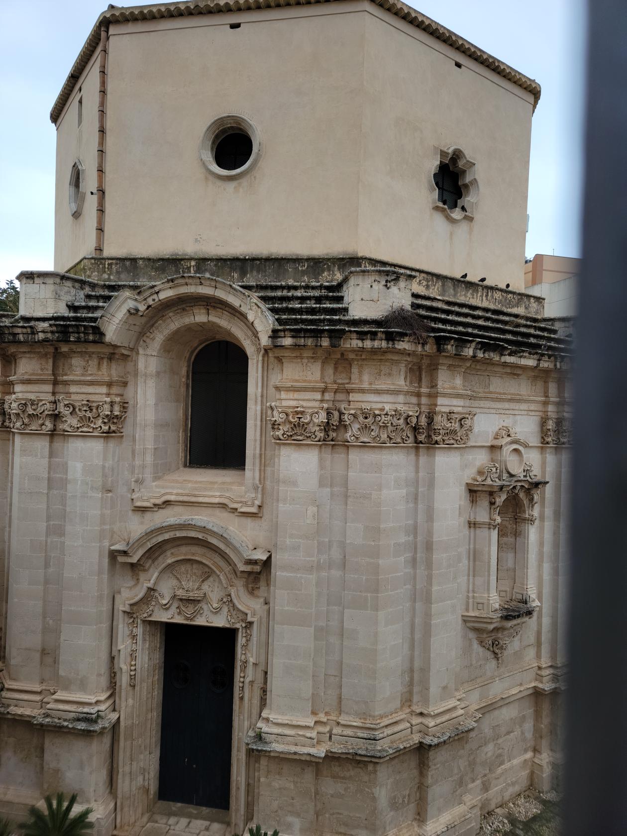
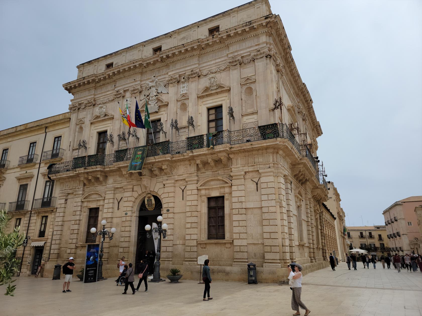
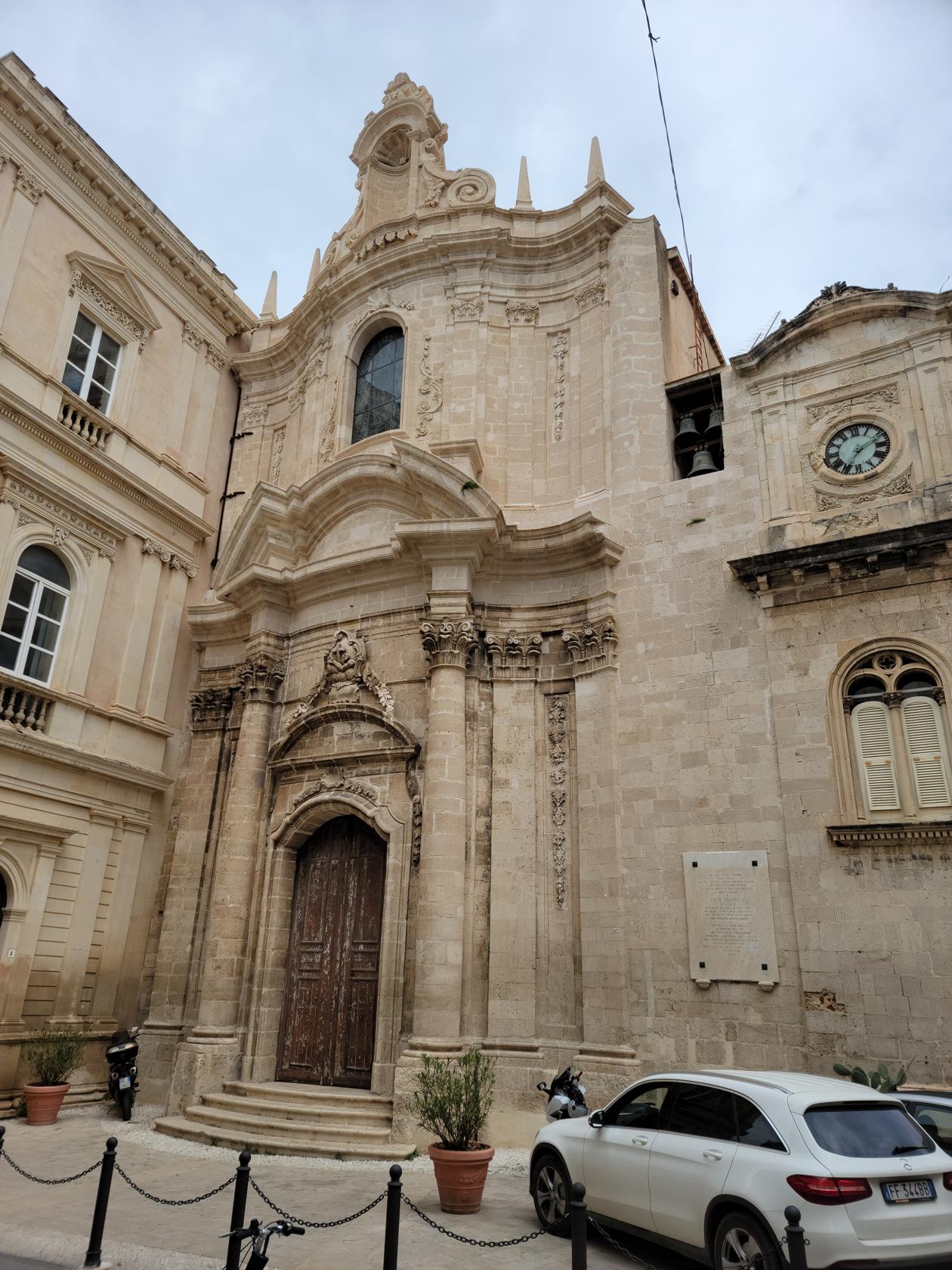
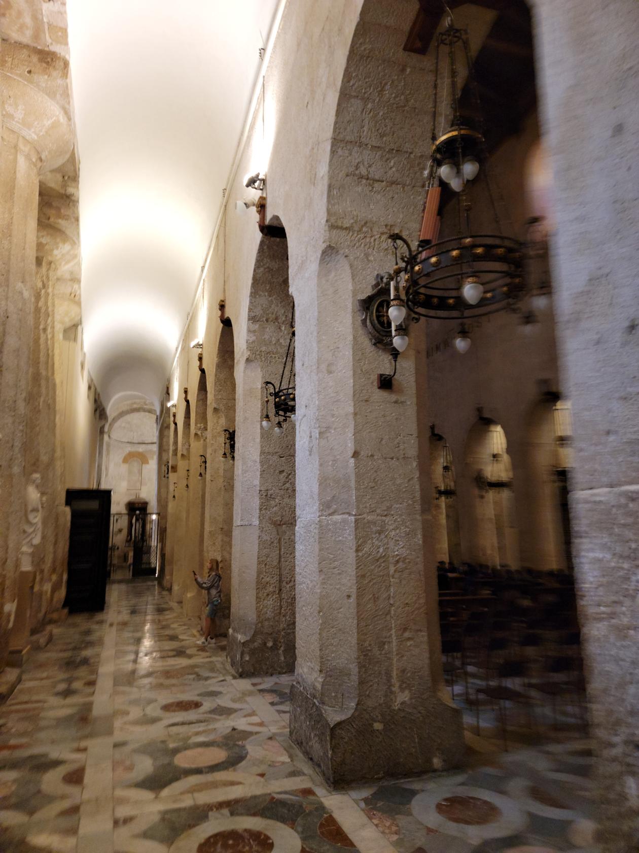
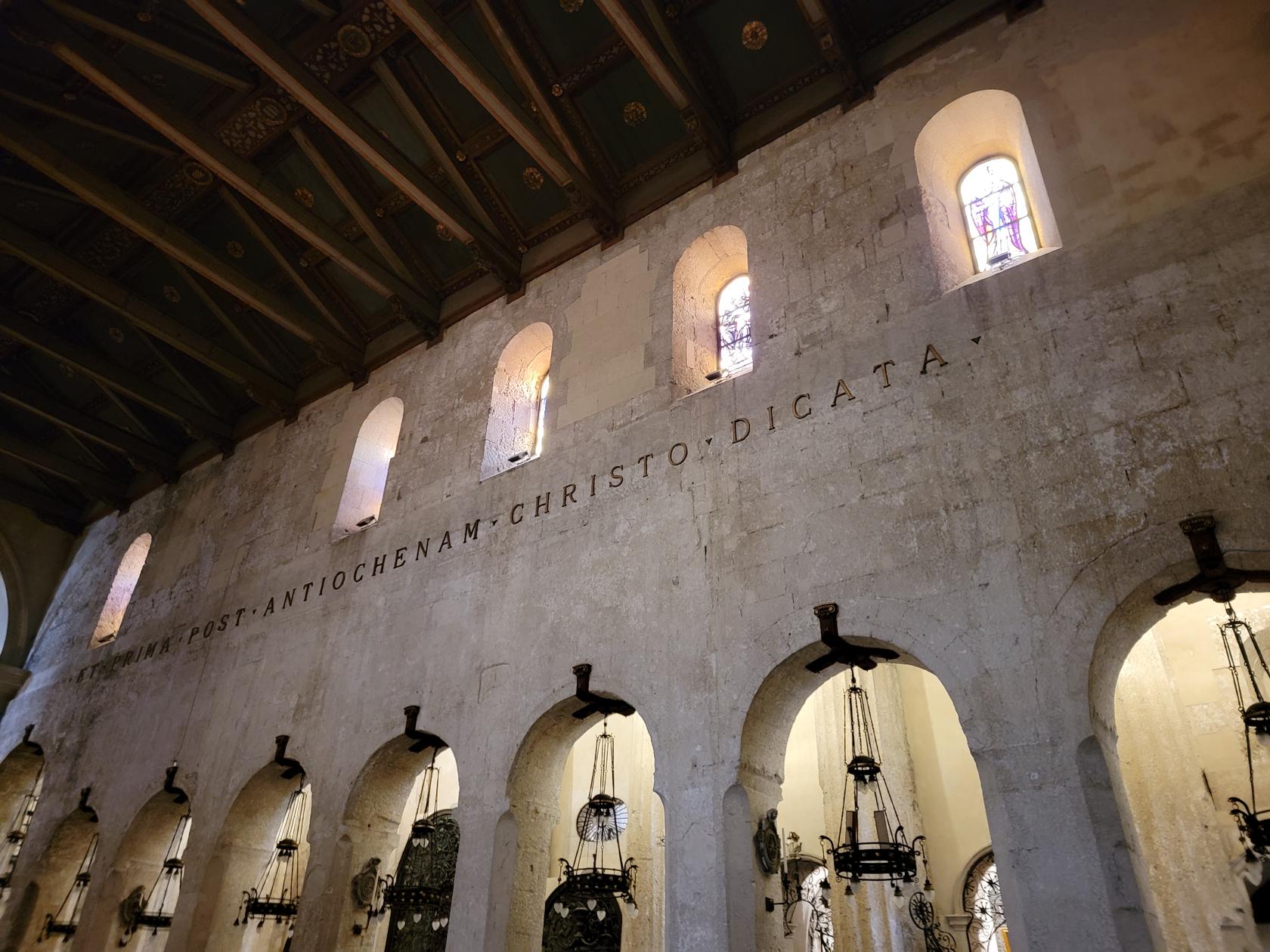
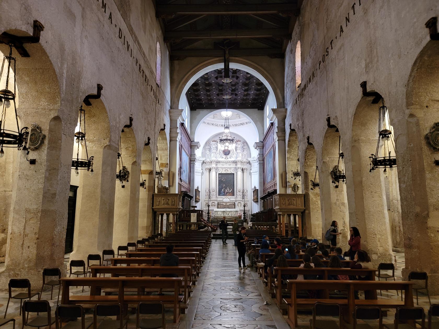
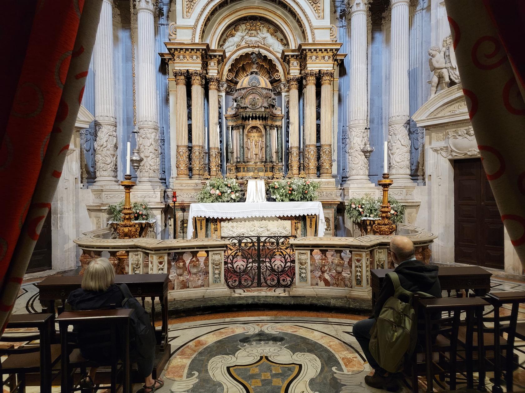
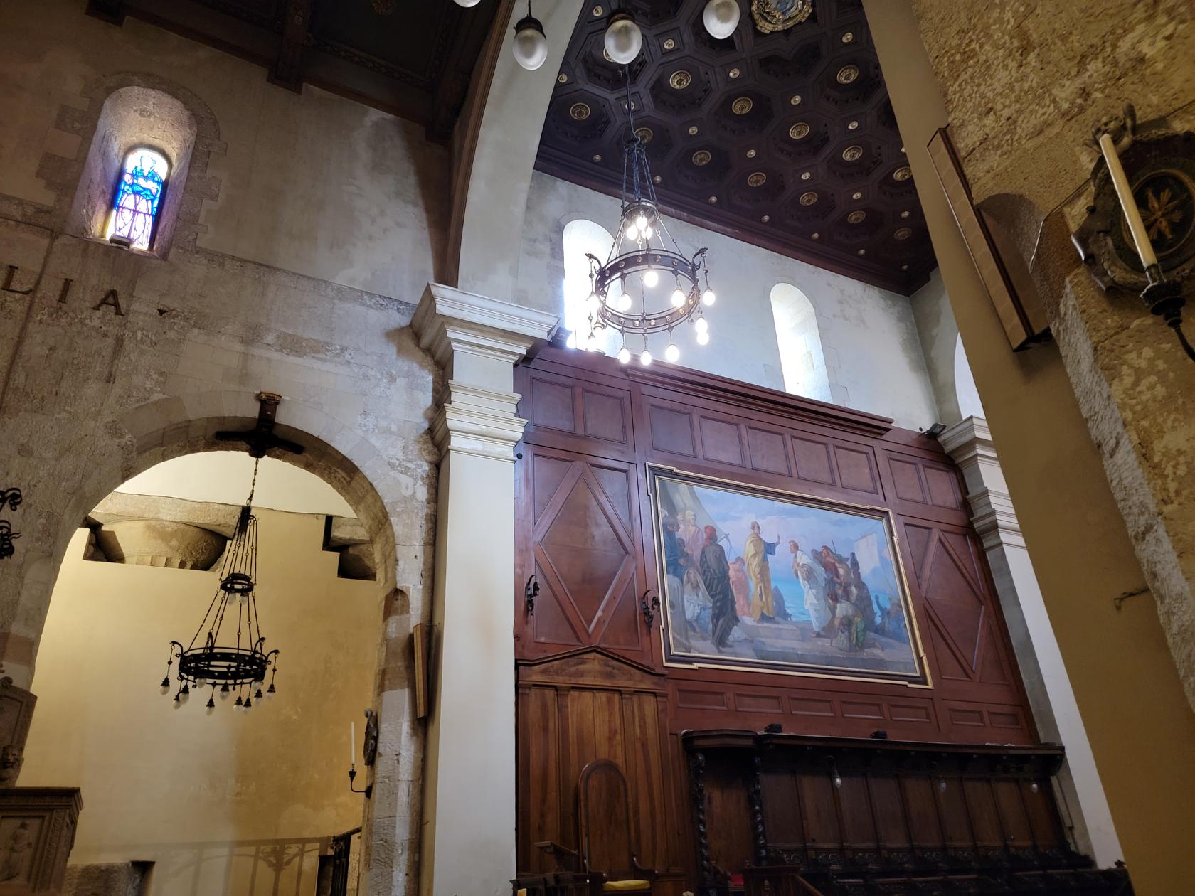
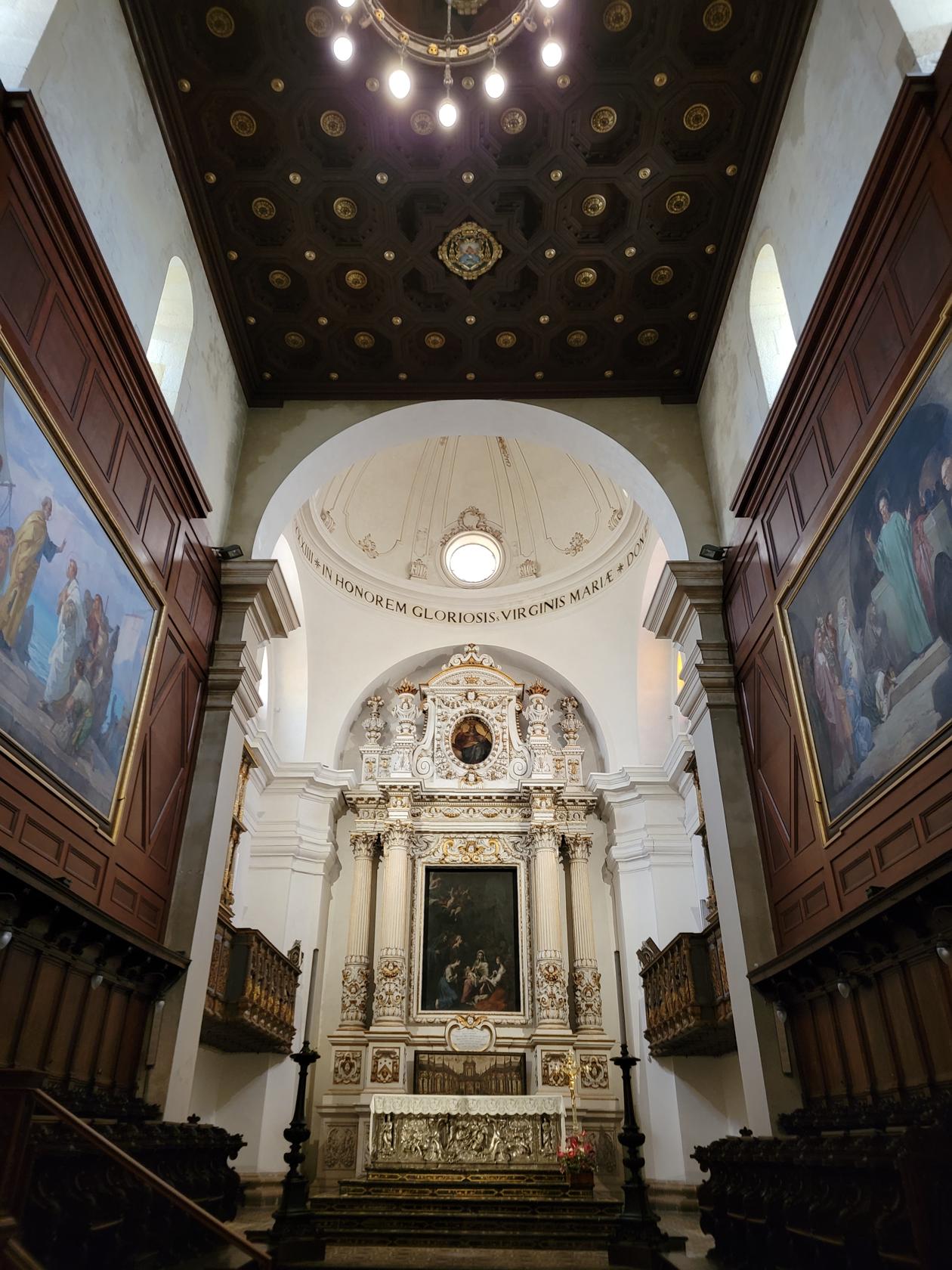
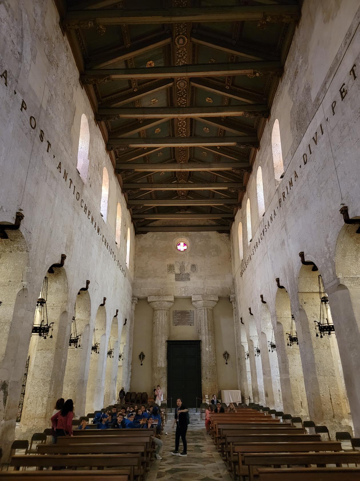
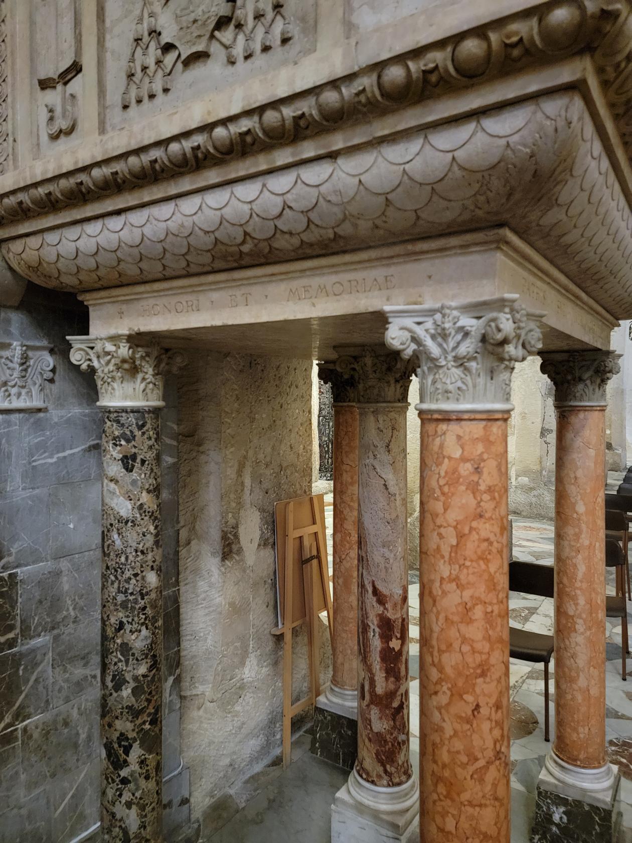
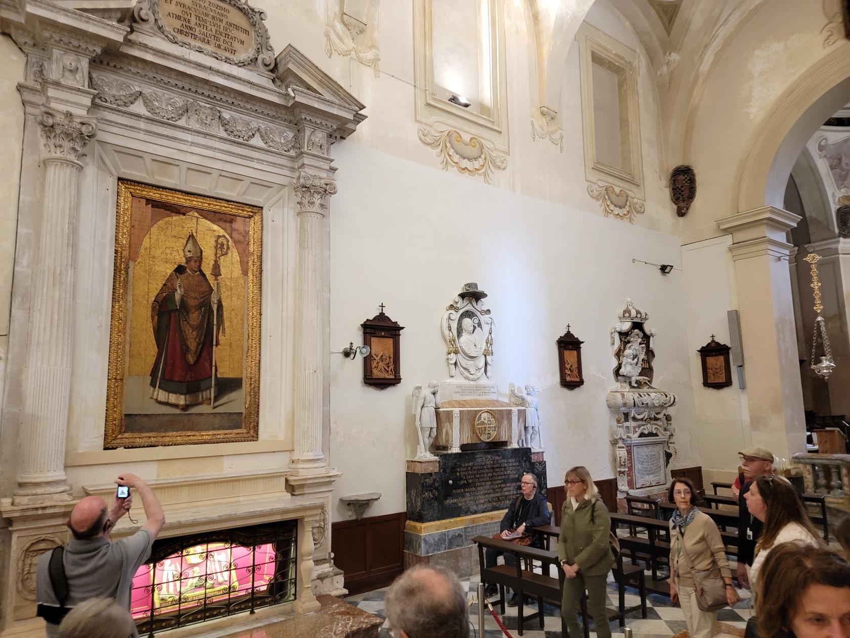
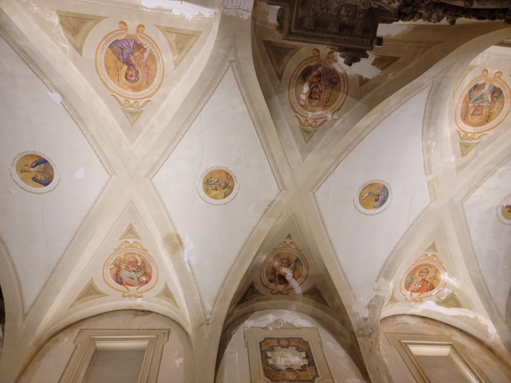
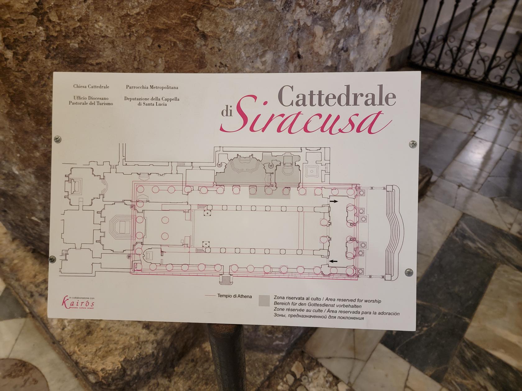
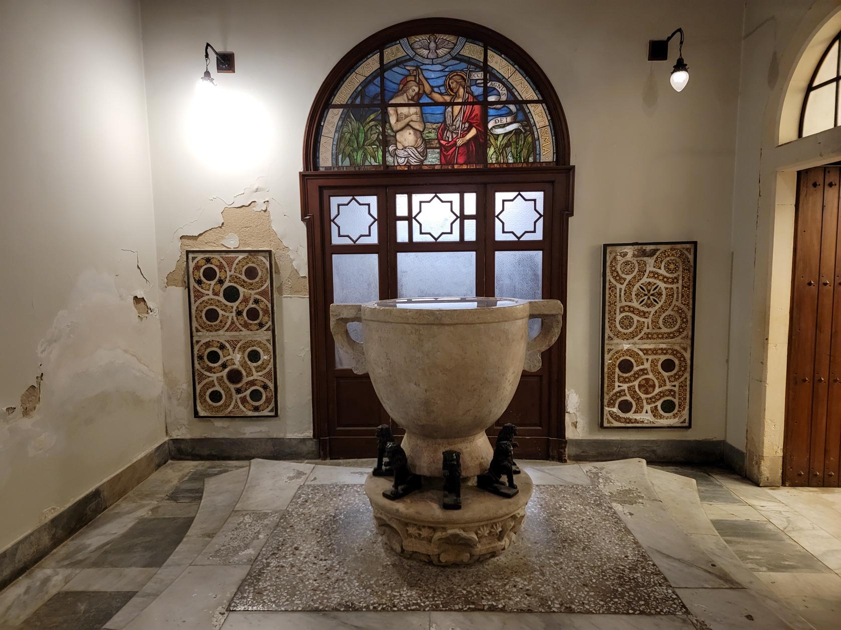
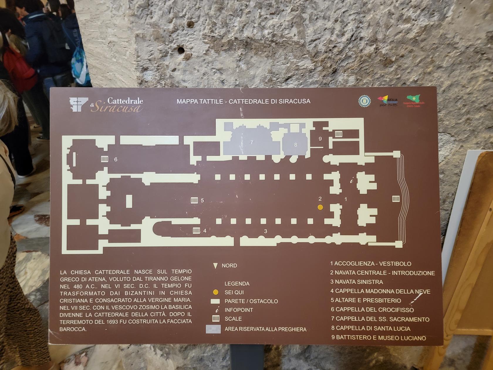
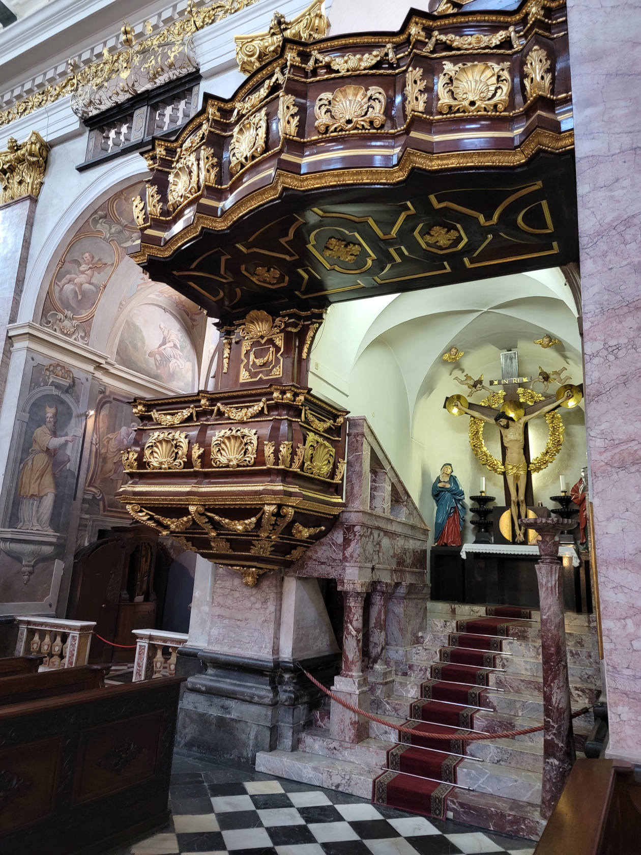
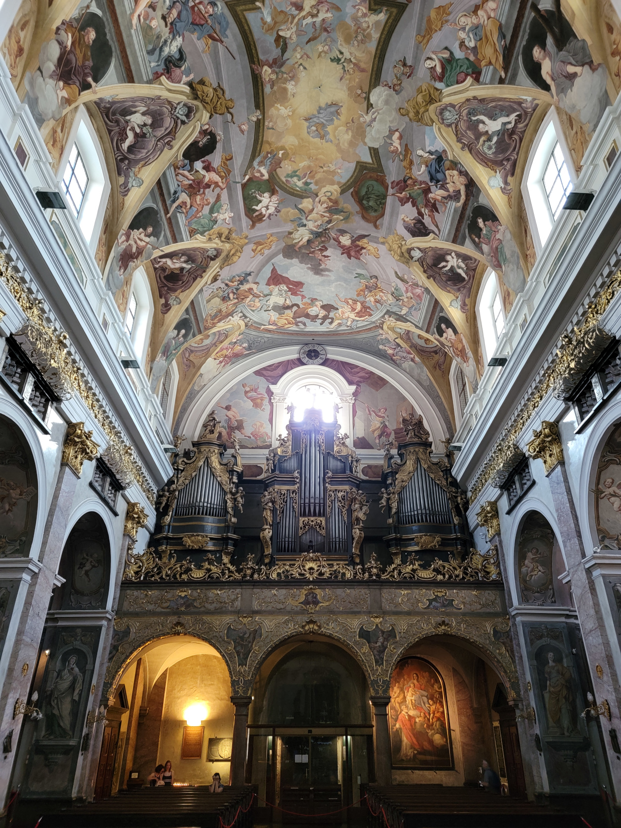
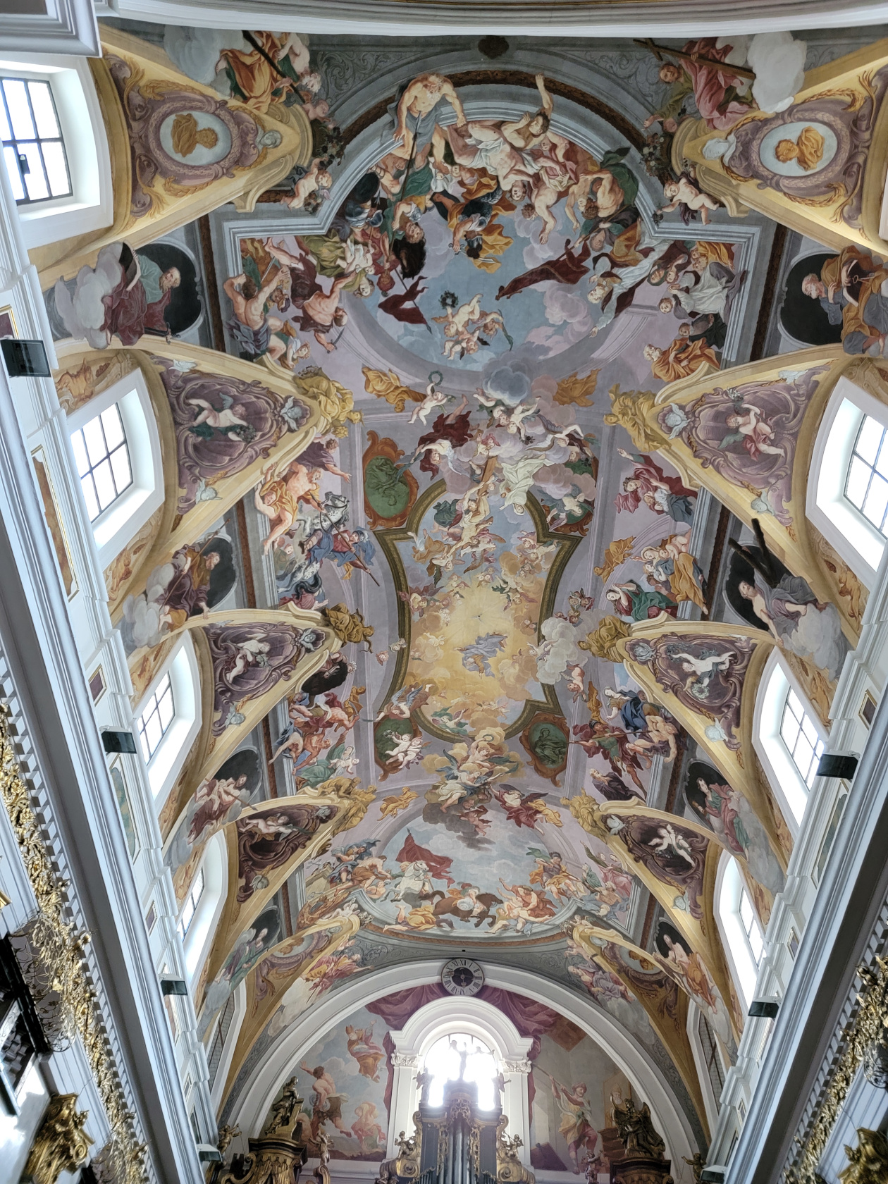
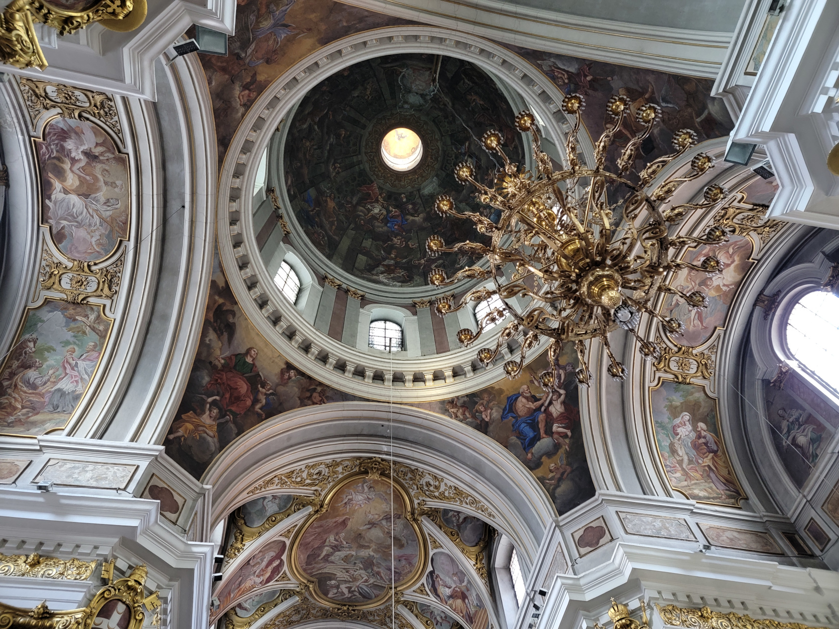
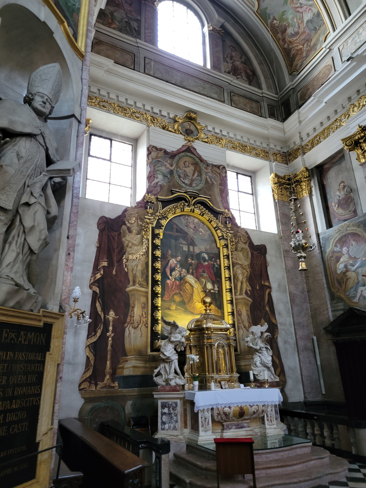
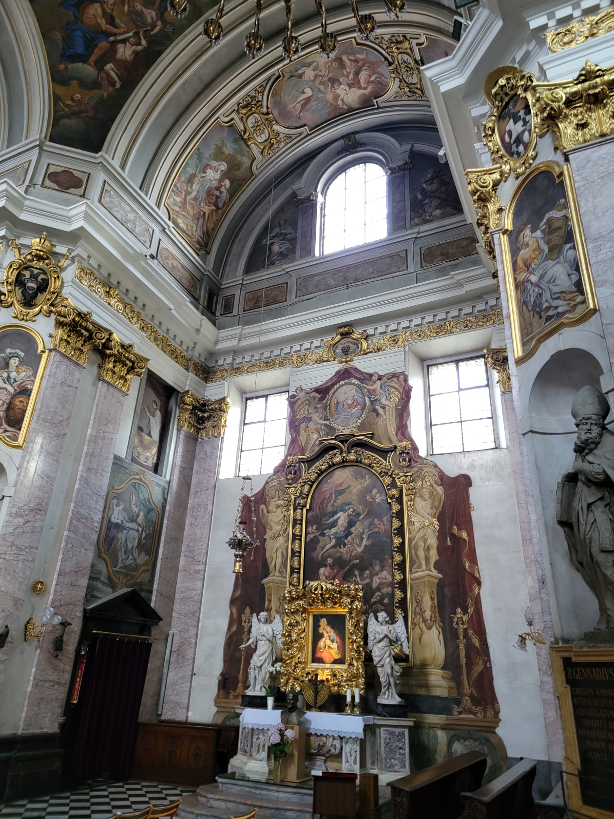
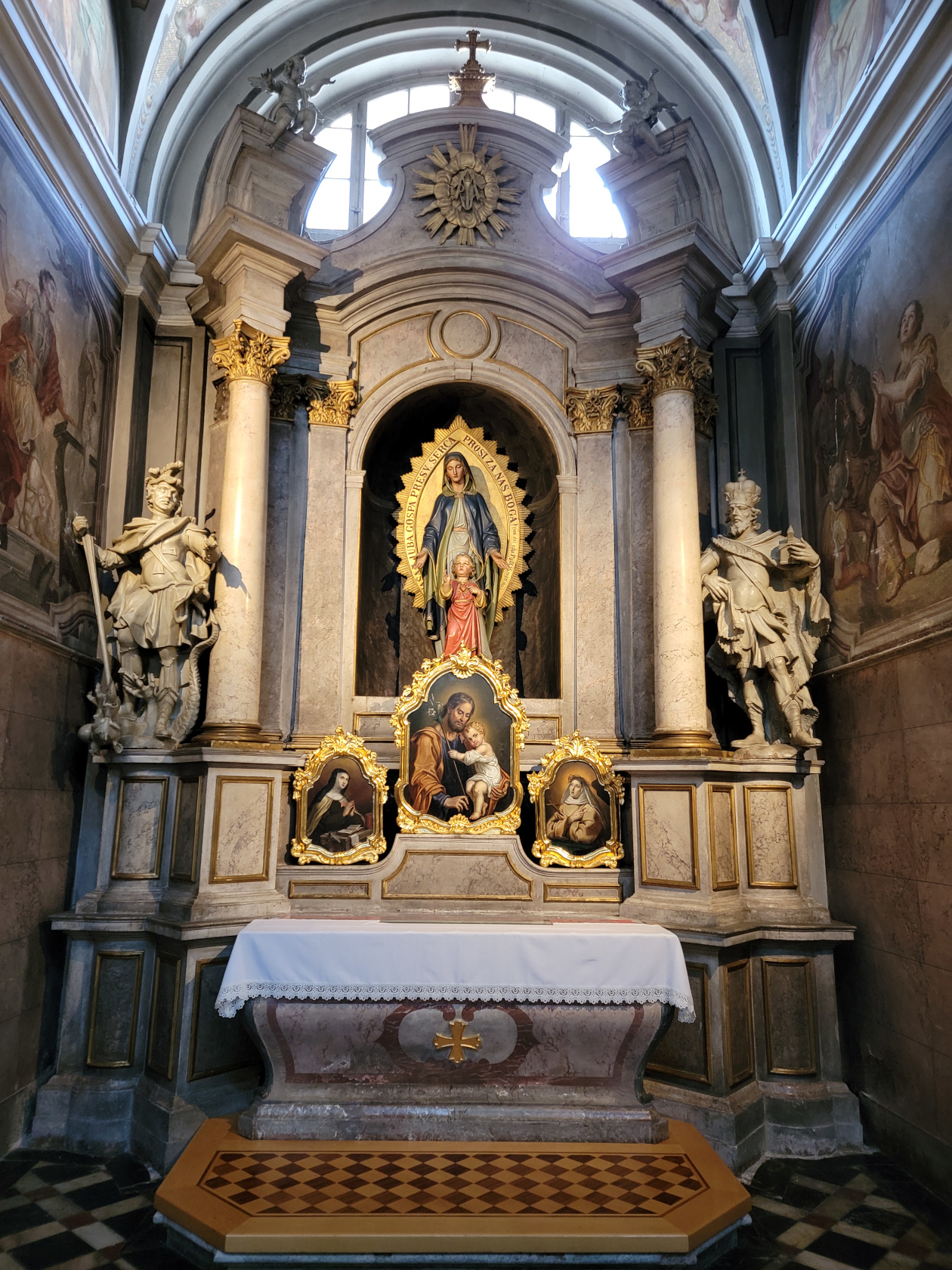
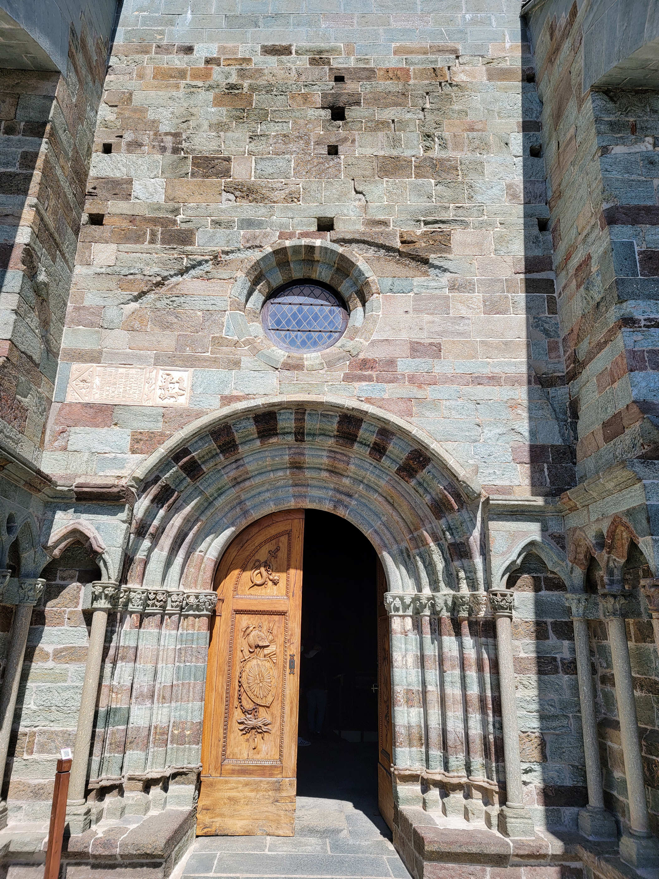
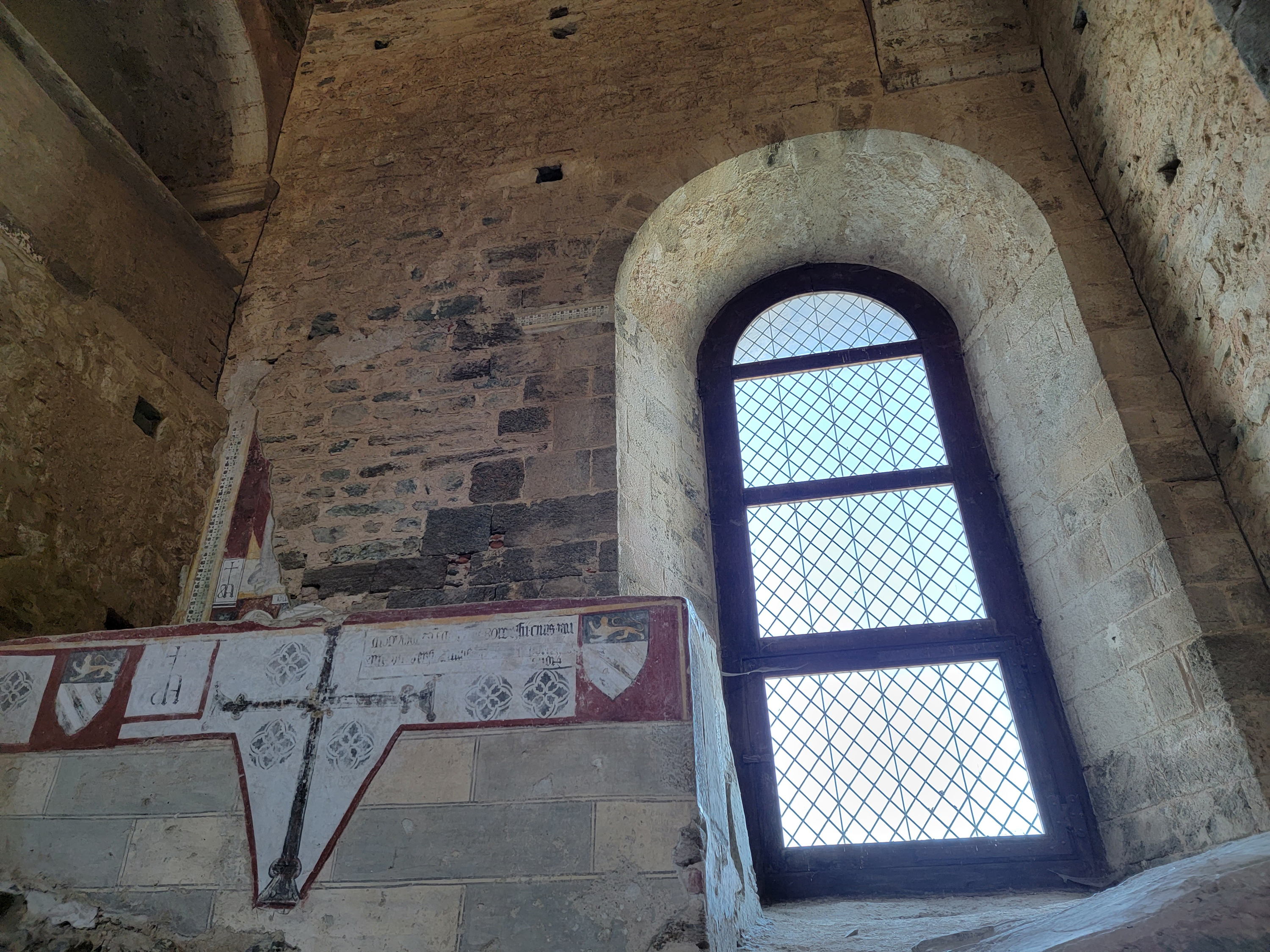
Cathedral Of Syracuse
In the center of Ortigia sits the Cathedral of Syracuse, a large and fairly simple structure as cathedrals go, having no real apse, but only central and left naves.
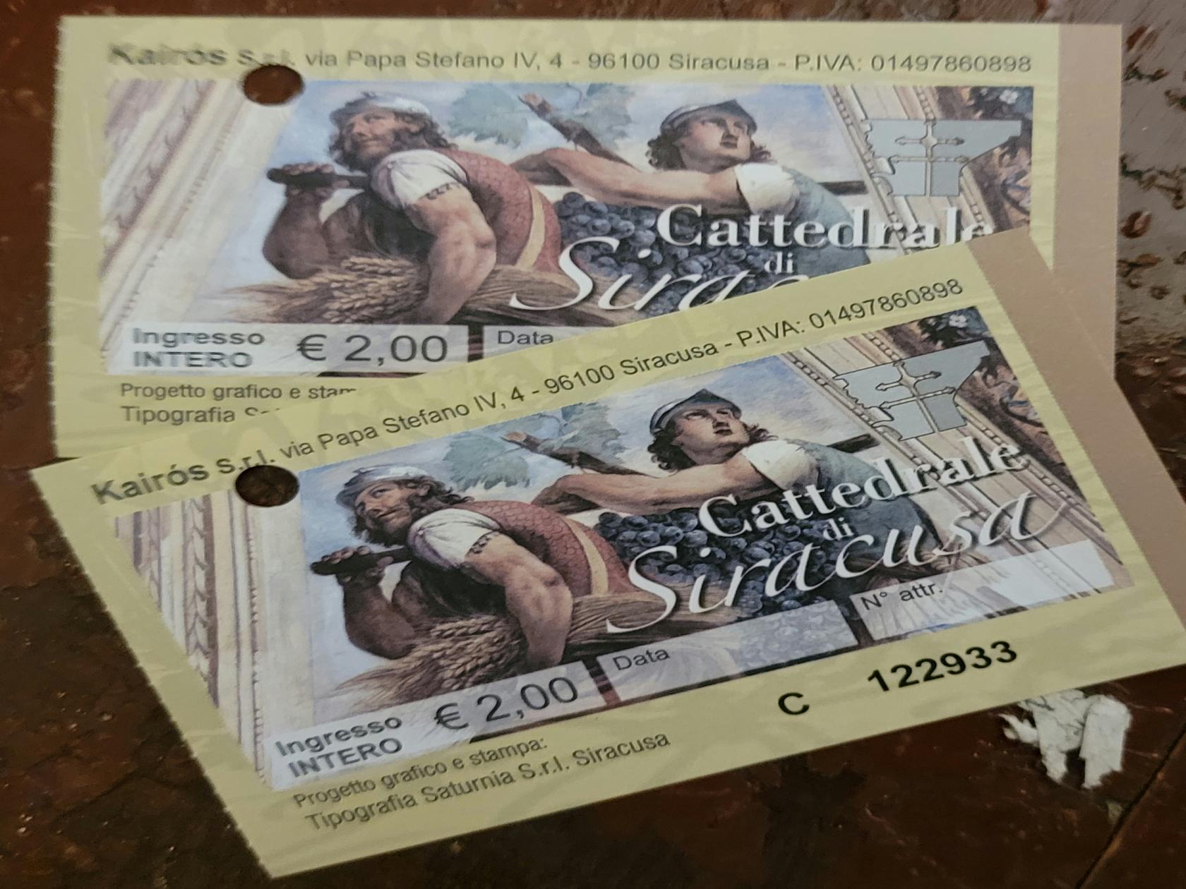
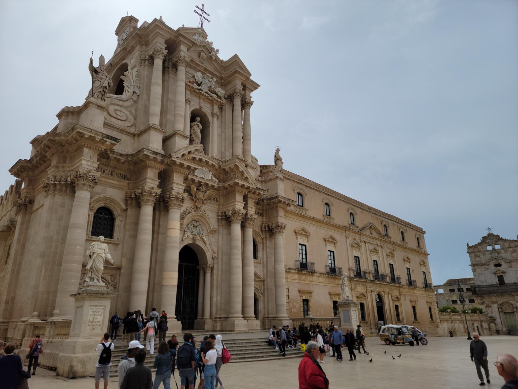
The inside however is impressive and elegant and worth a visit. The outside of the cathedral displays Doric columns of the original Temple of Athena, which stood on this site prior to the building of the edifice.
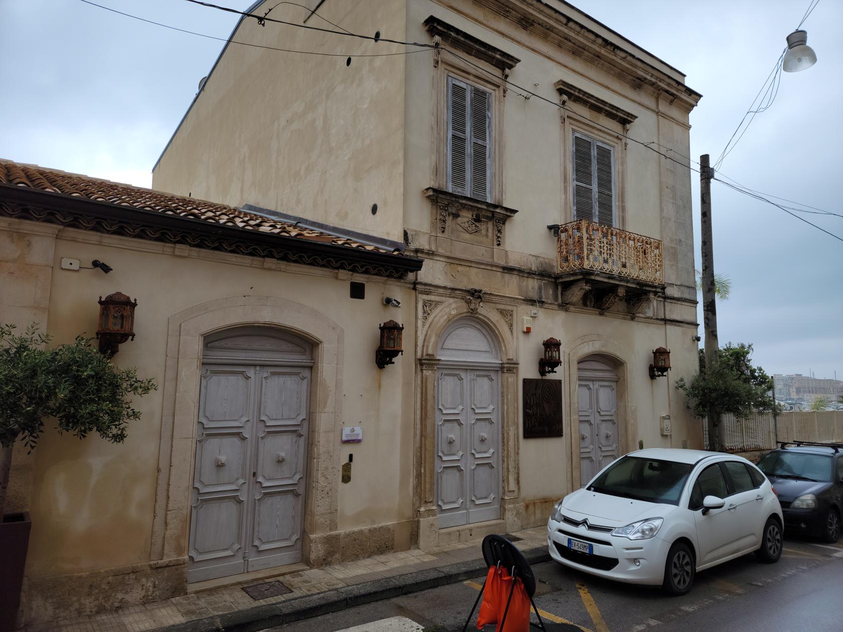
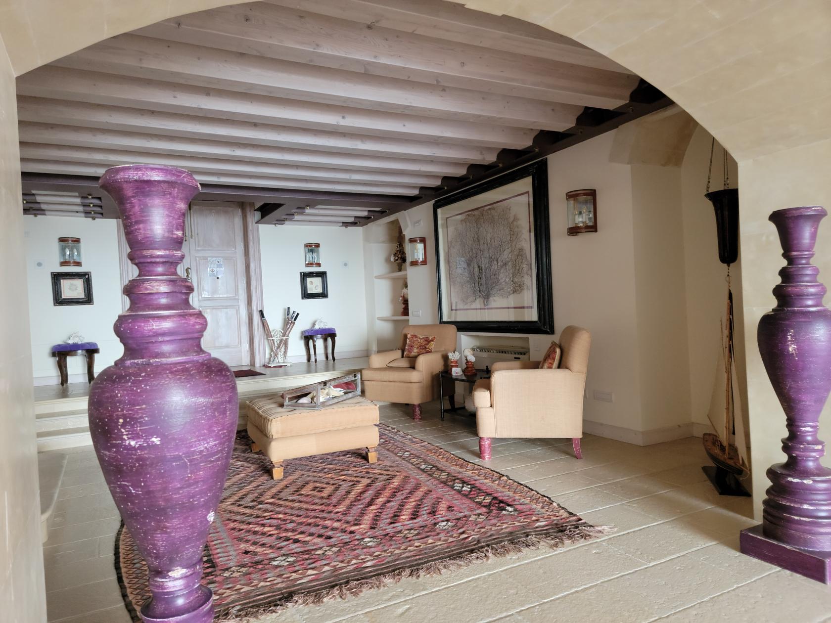
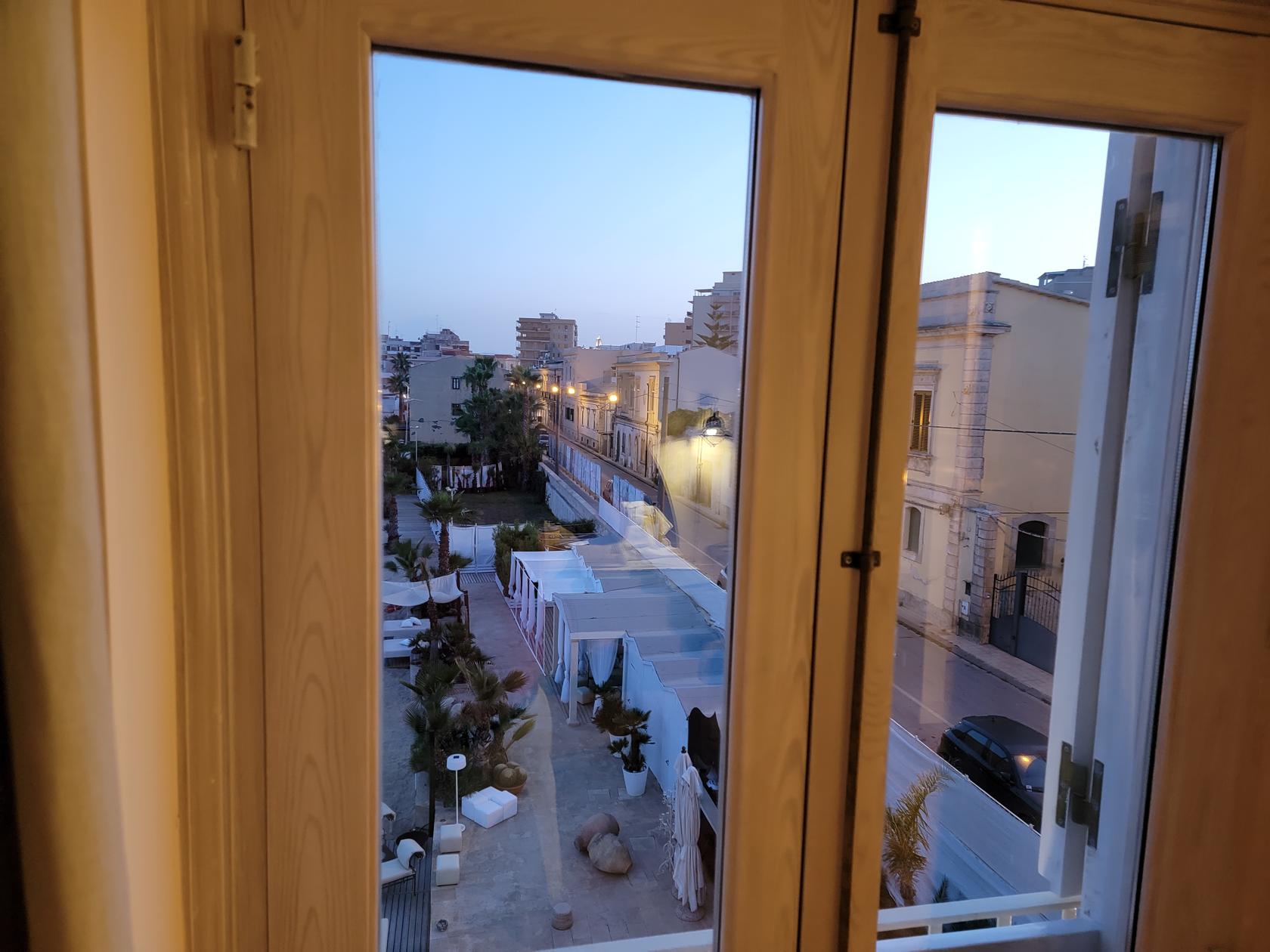
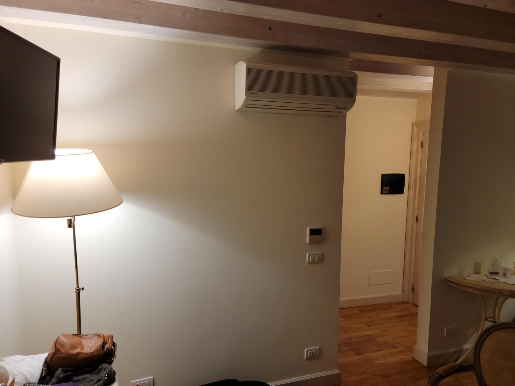
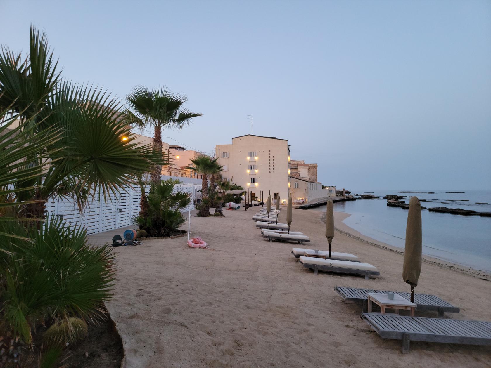
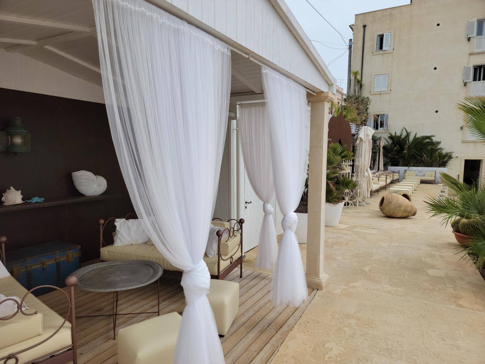
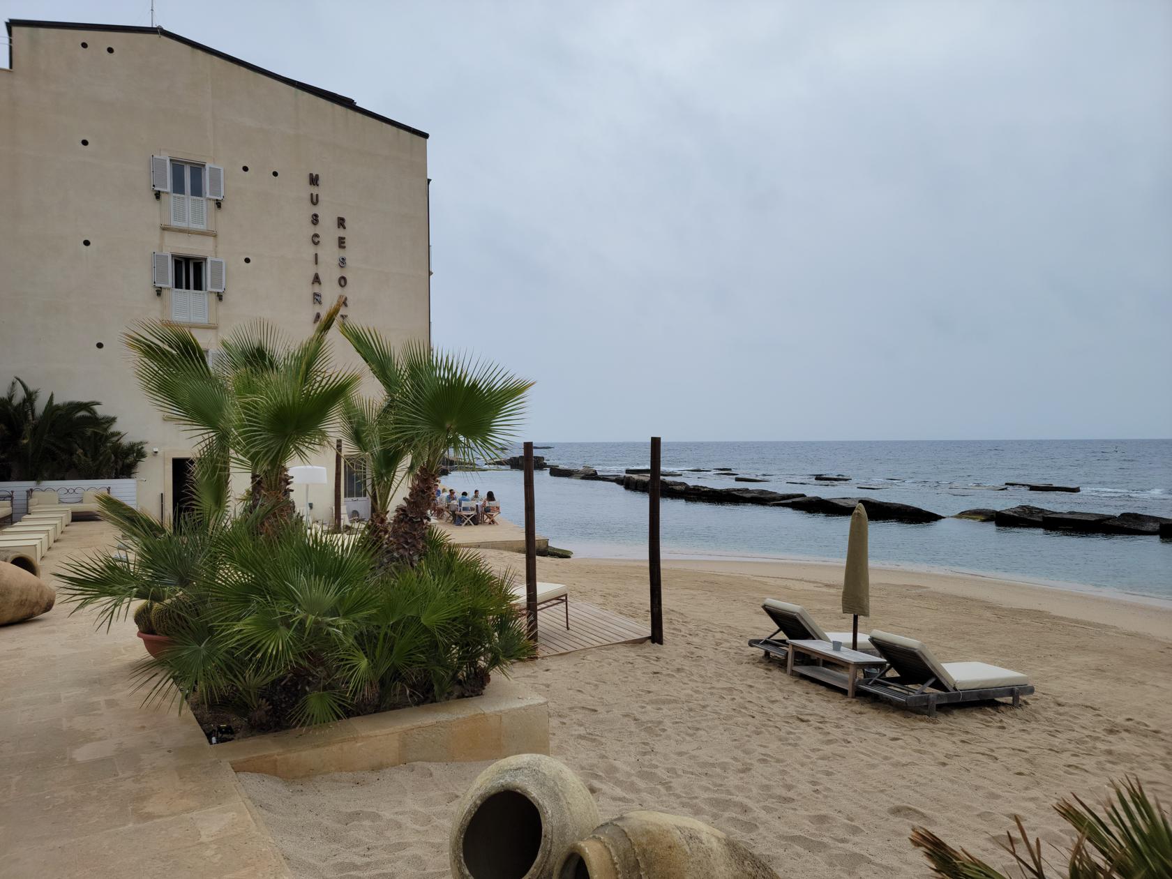
Our Hotel
Hotel Musciara Resort
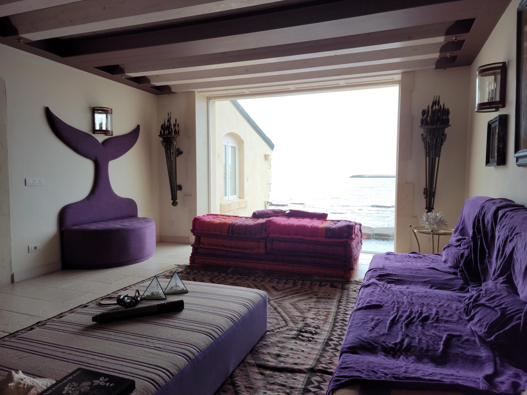
For the six nights we stayed in Syracuse, we stayed at the Musciara Resort. This boutique resort is located about a 15 minute walk from Ortigia Island and has its own beach. It is a three-star hotel, but it is expertly appointed and maintained. There are only about a dozen or so rooms, so book early if interested. It is a on the pricey side, so if you are able, use points.
Though we did not use the beach at them, since there was a severe upper level low causing rain for many days, we know a set of two lounge chairs and table will cost 110€/day for those wishing to enjoy the water or work on that tan.

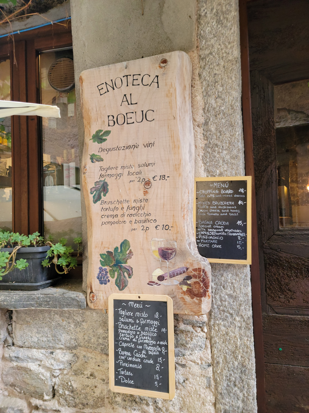
Restaurants
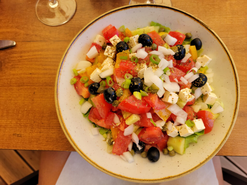
The cuisine of Syracuse is of course based mainly on the sea, so people who love fish will definitely enjoy themselves. There are myriads of fish to choose from, as well as octopus, squid, cuttlefish and assorted shell fish.
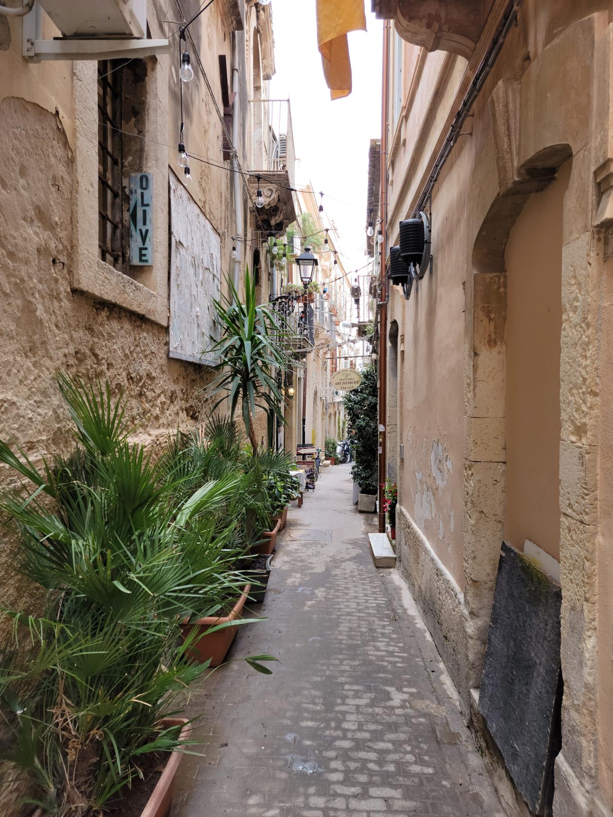
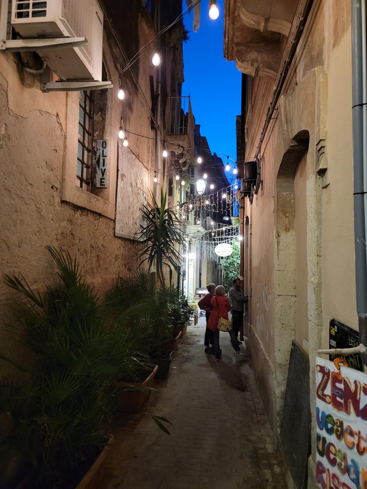
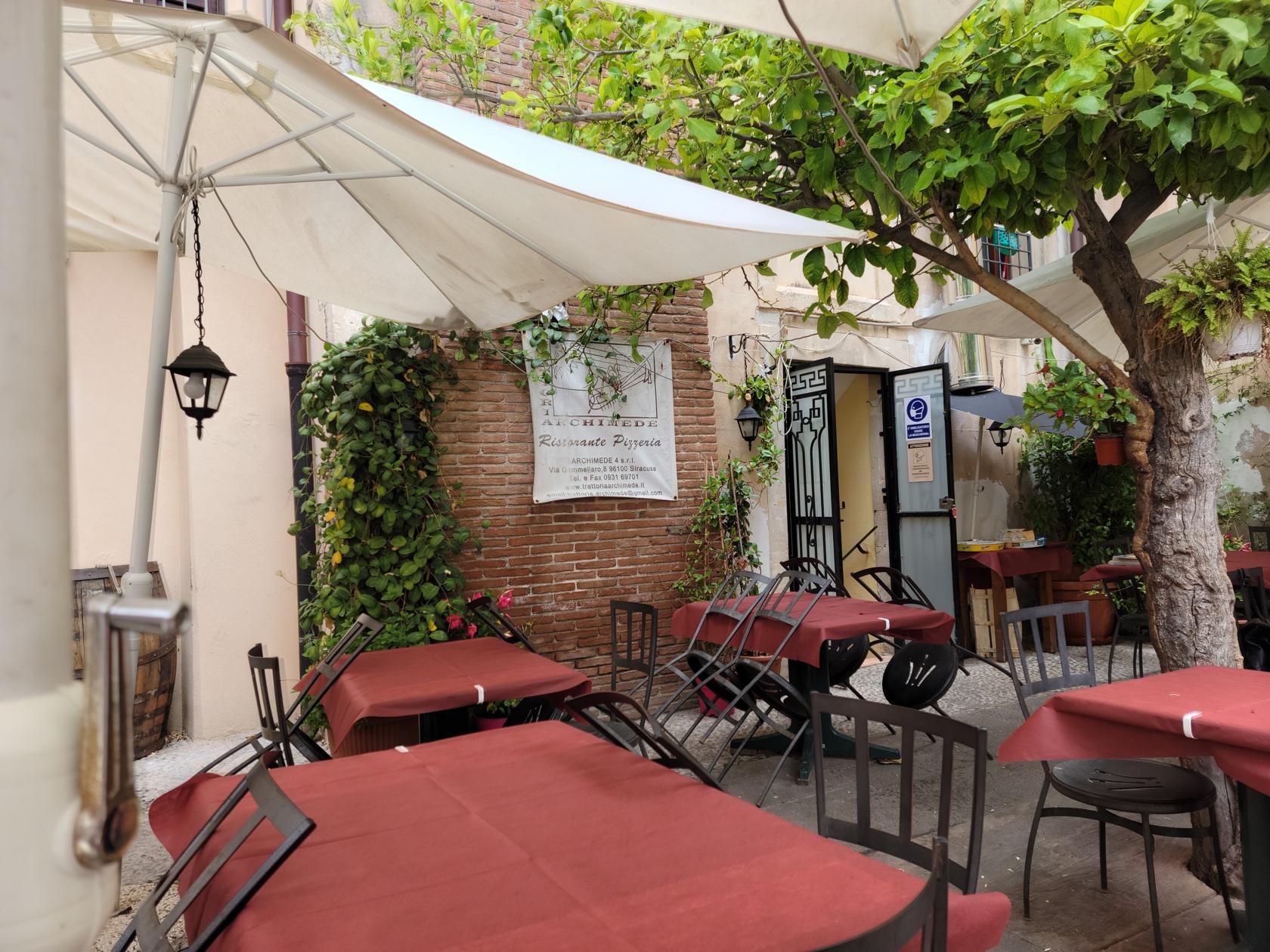
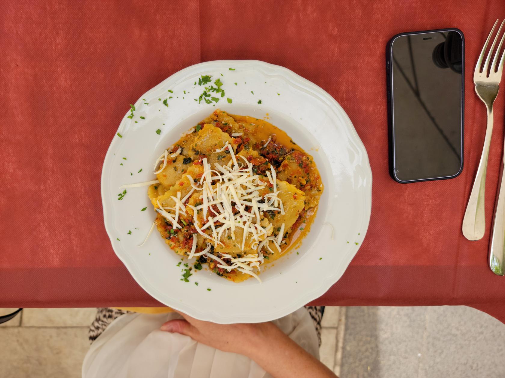
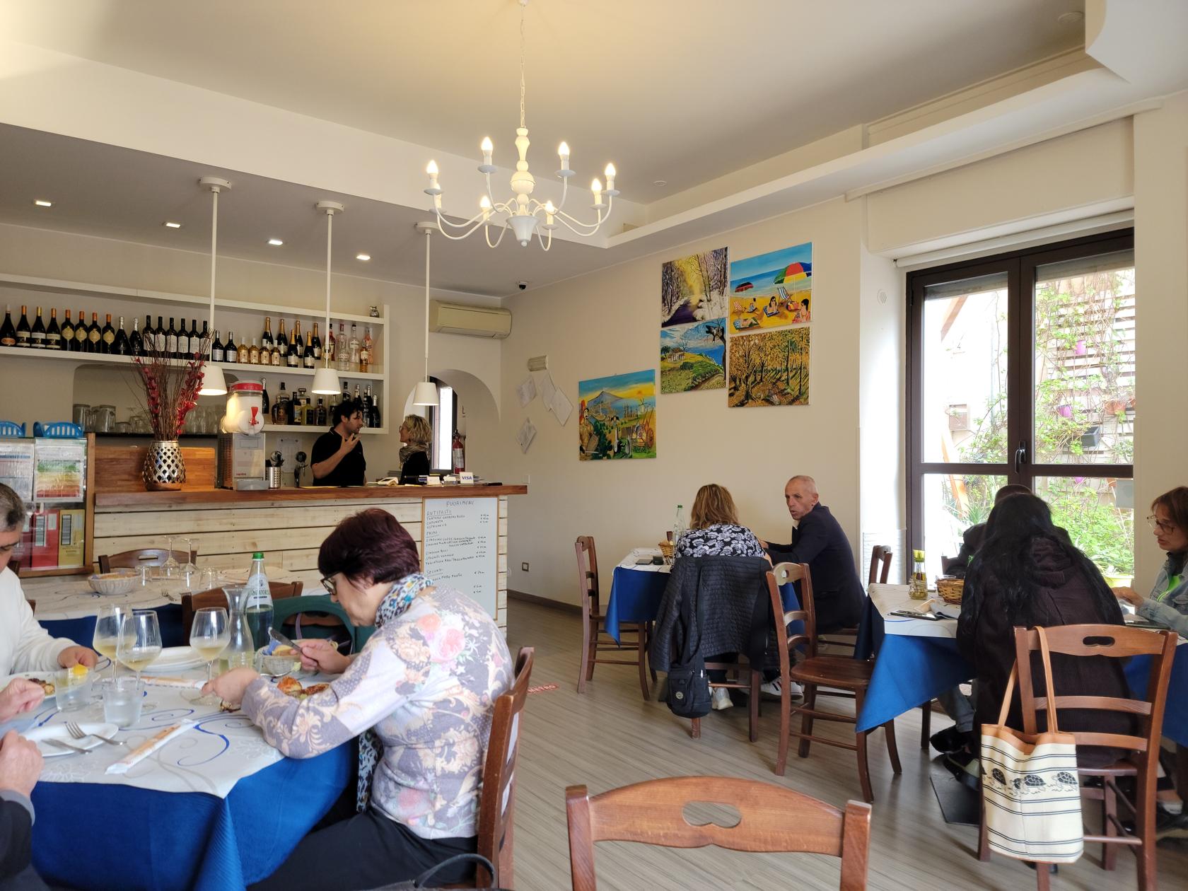
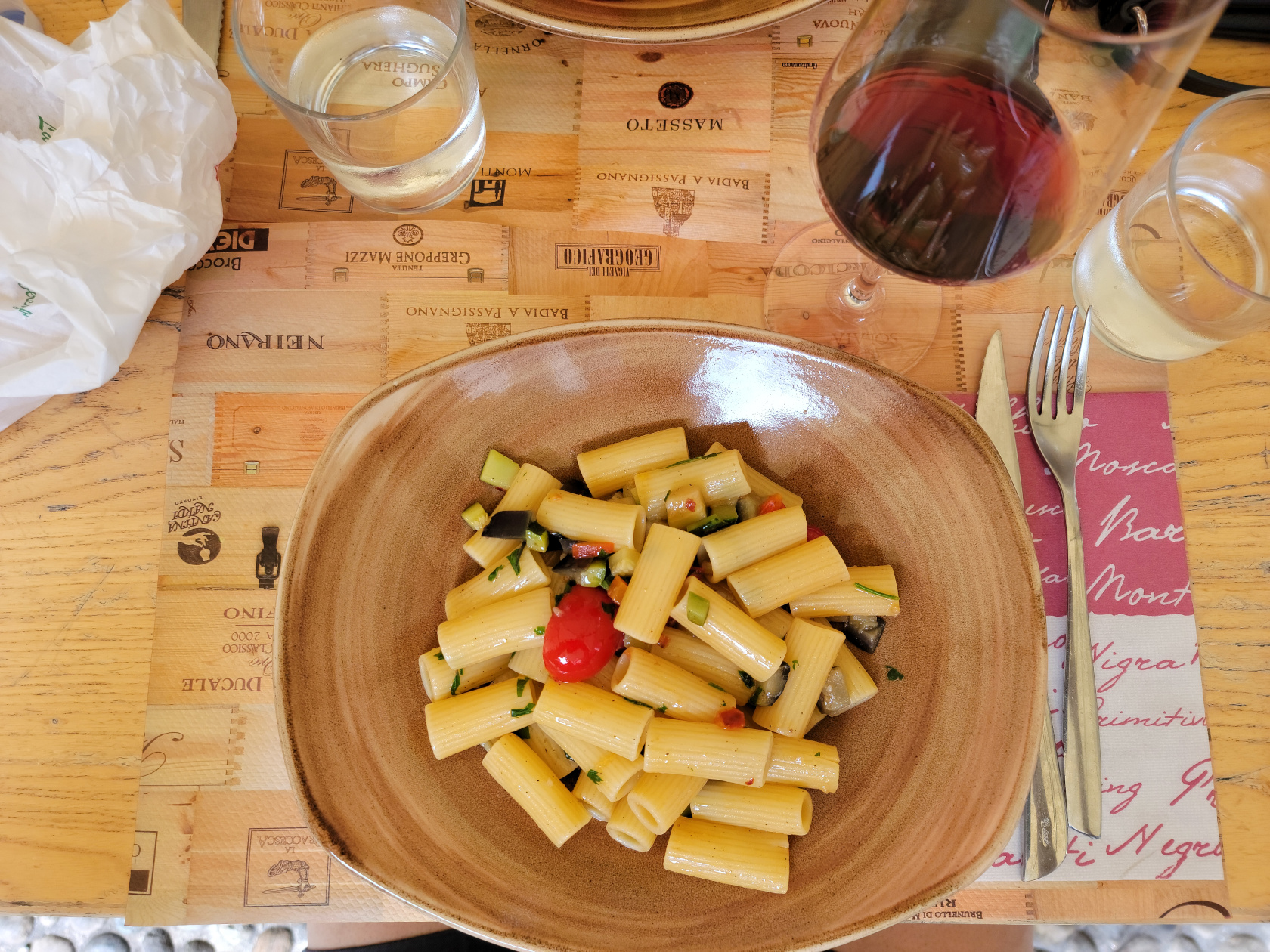
Trattoria Archimede
We ate lunch here and thoroughly enjoyed ourselves. They have a nice garden where one can enjoy an relaxes lunch away from the hustle and bustle of Piazza Duomo.
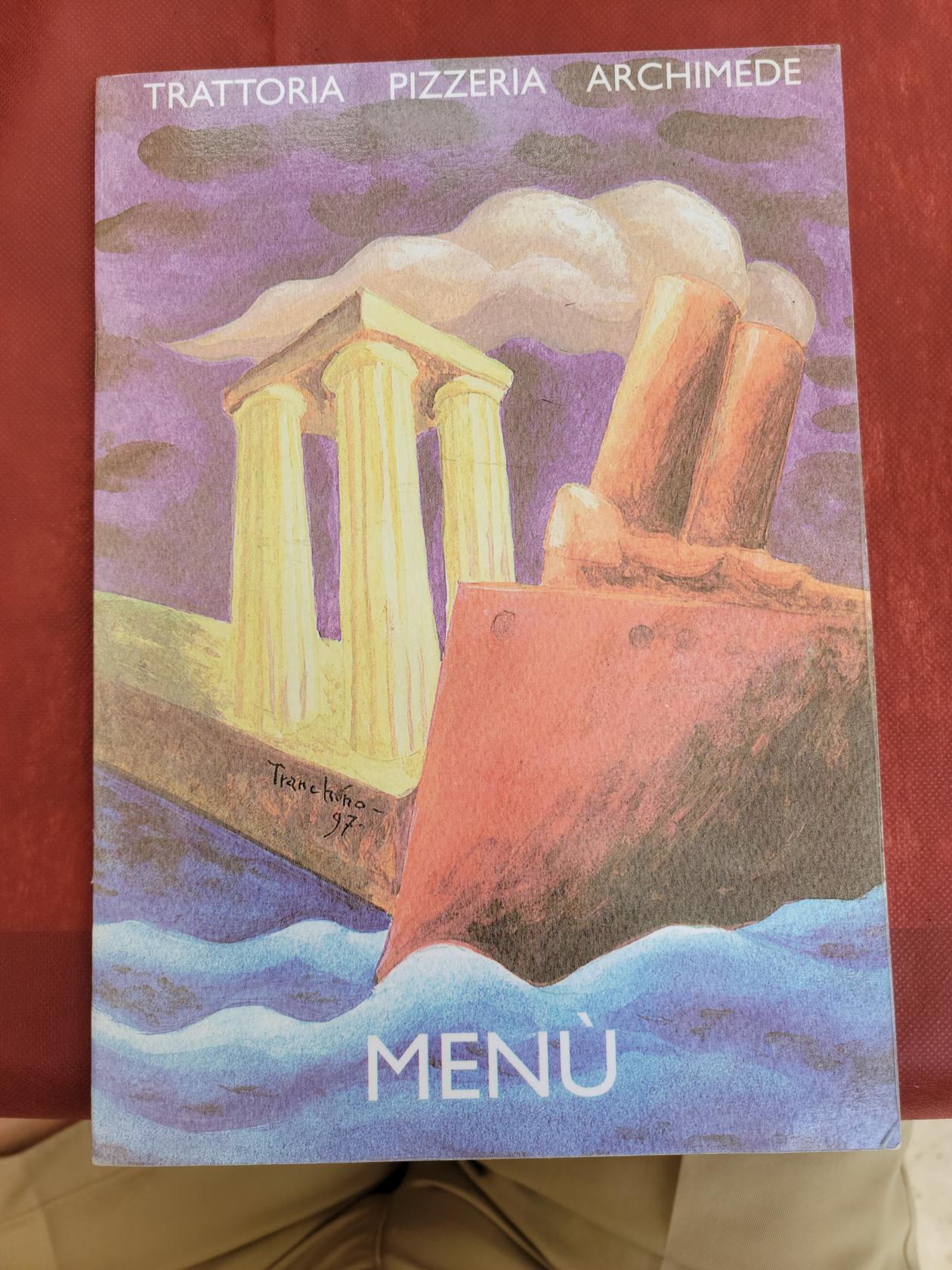
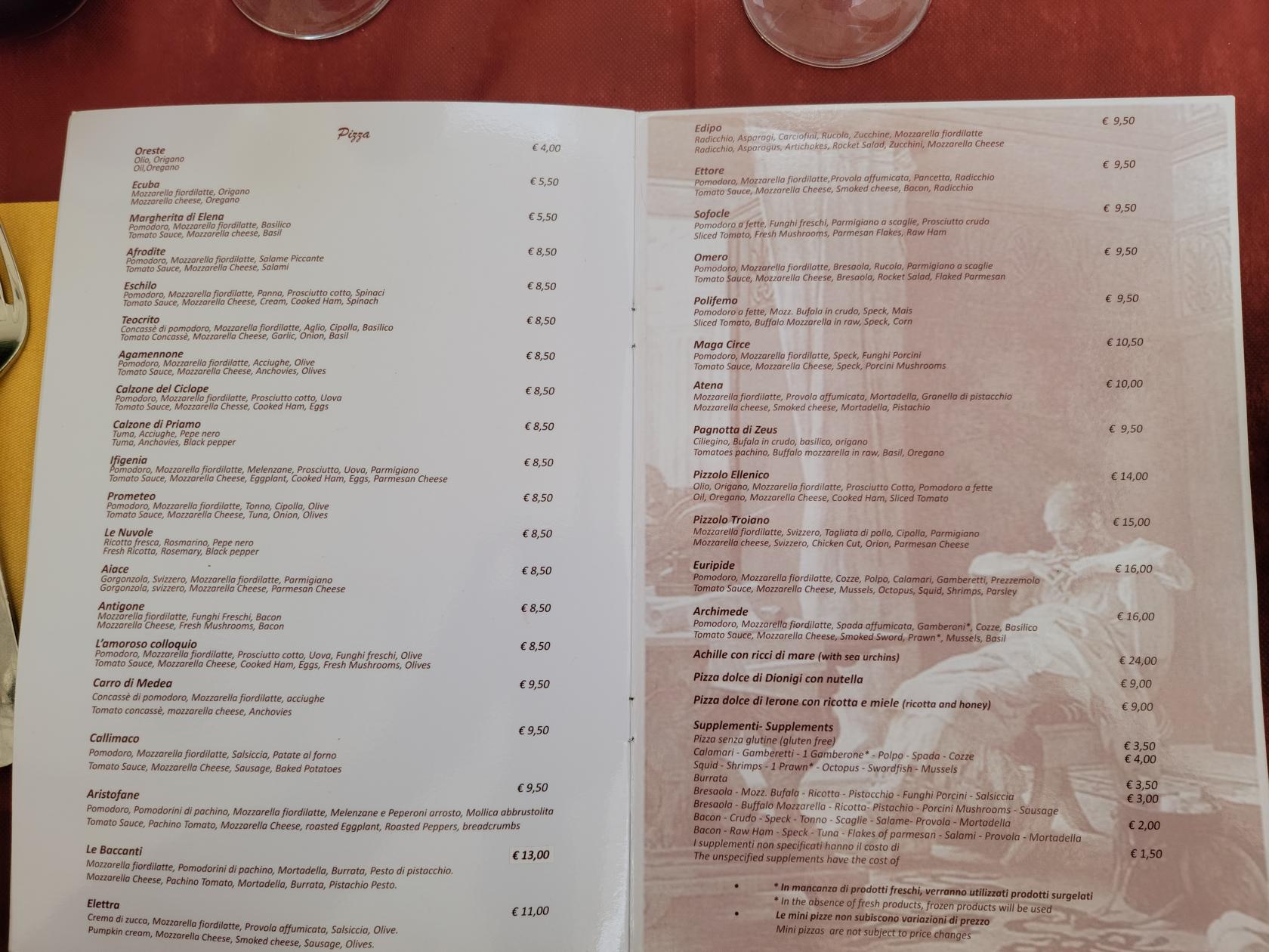
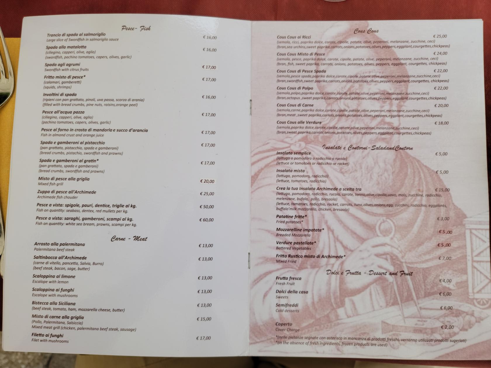
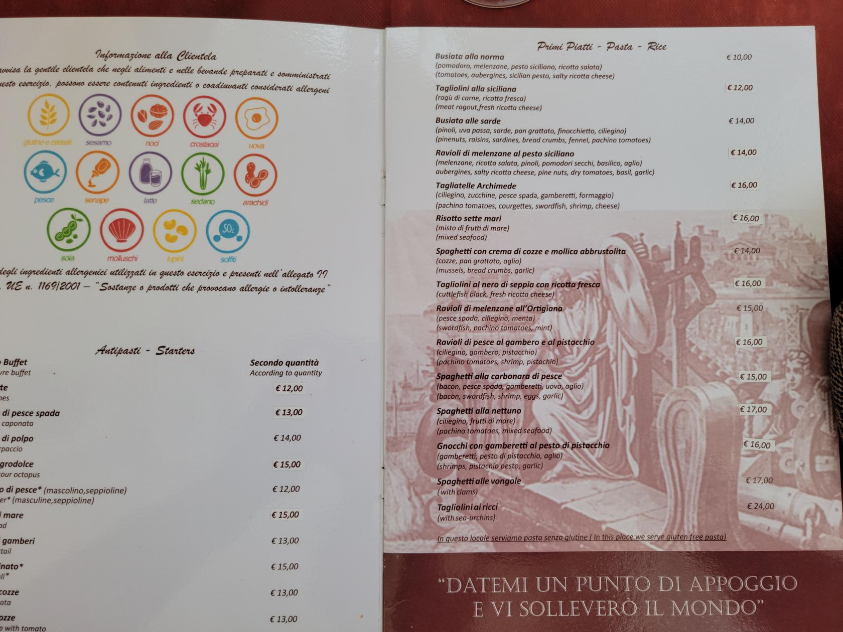
The food is typical and simple for Sicilian cuisine. We picked basic items, along with the house wine and had a very nice lunch. The staff were attentive and had a very good grasp of English, so communicating in my broken Italian, although appreciated, was not totally necessary, our waiter spoke and understood Italian, English, French and German.
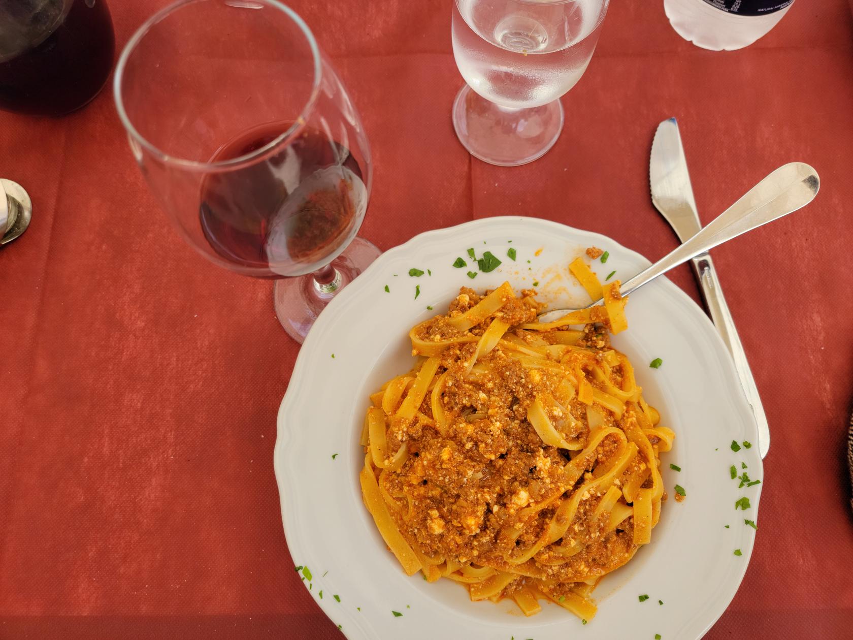
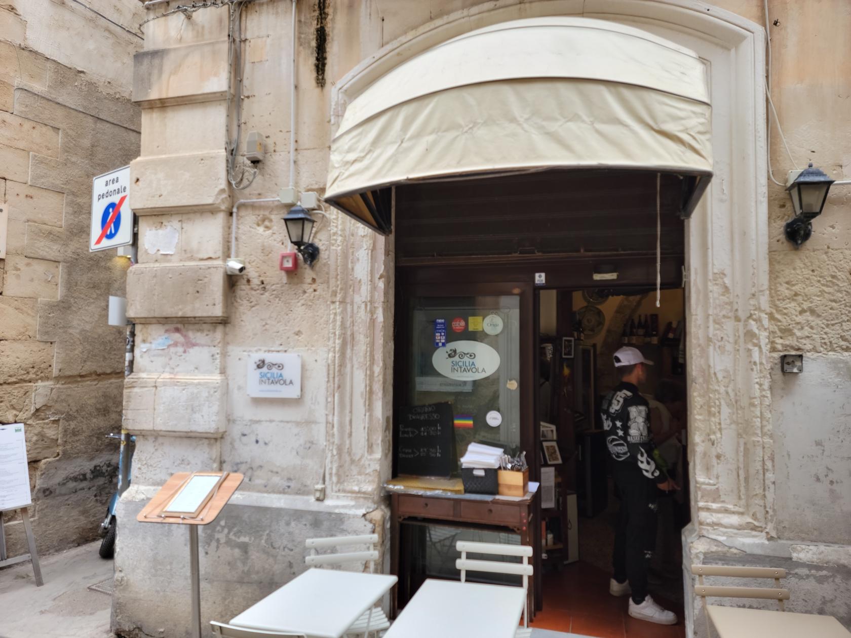
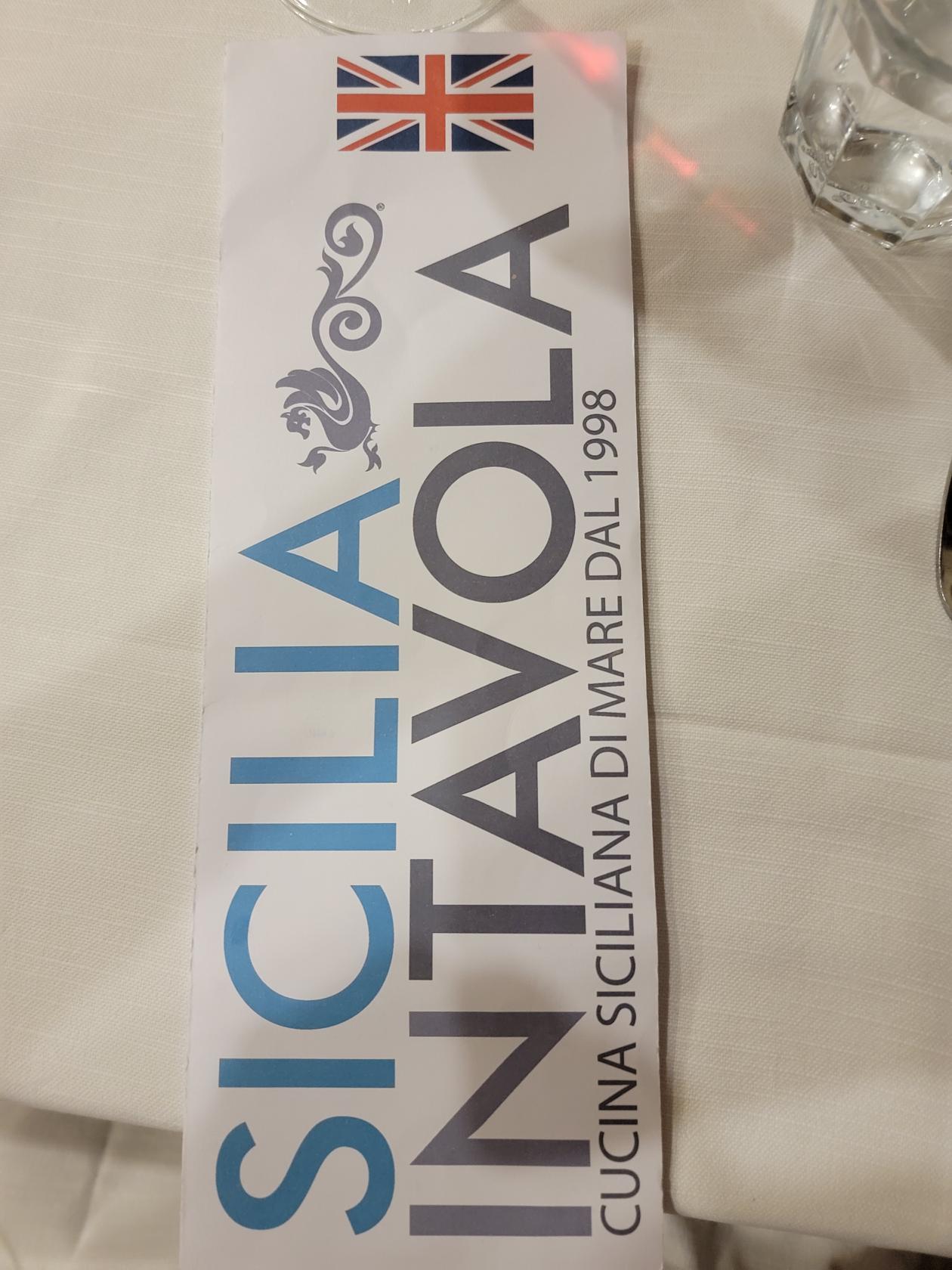
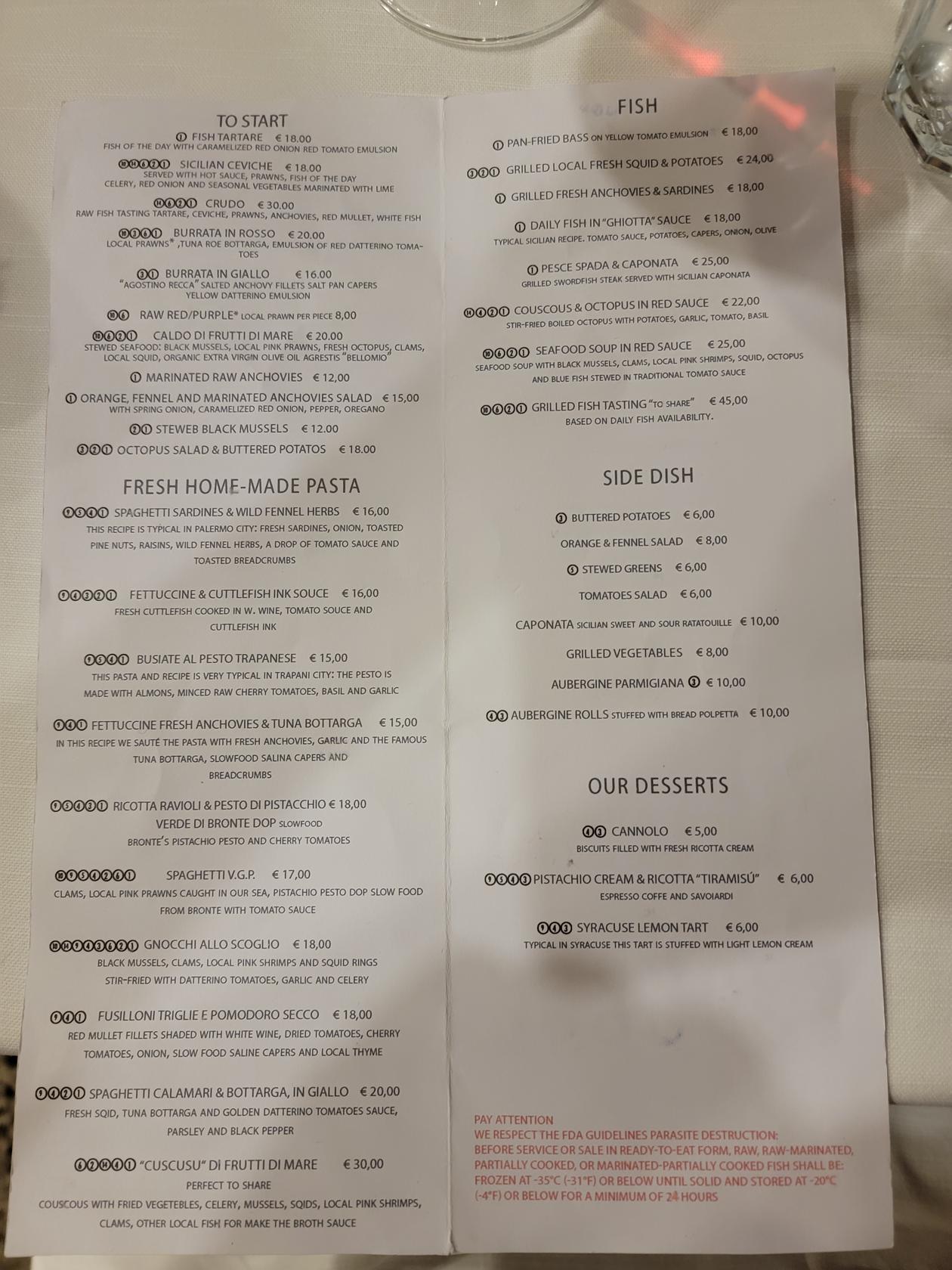
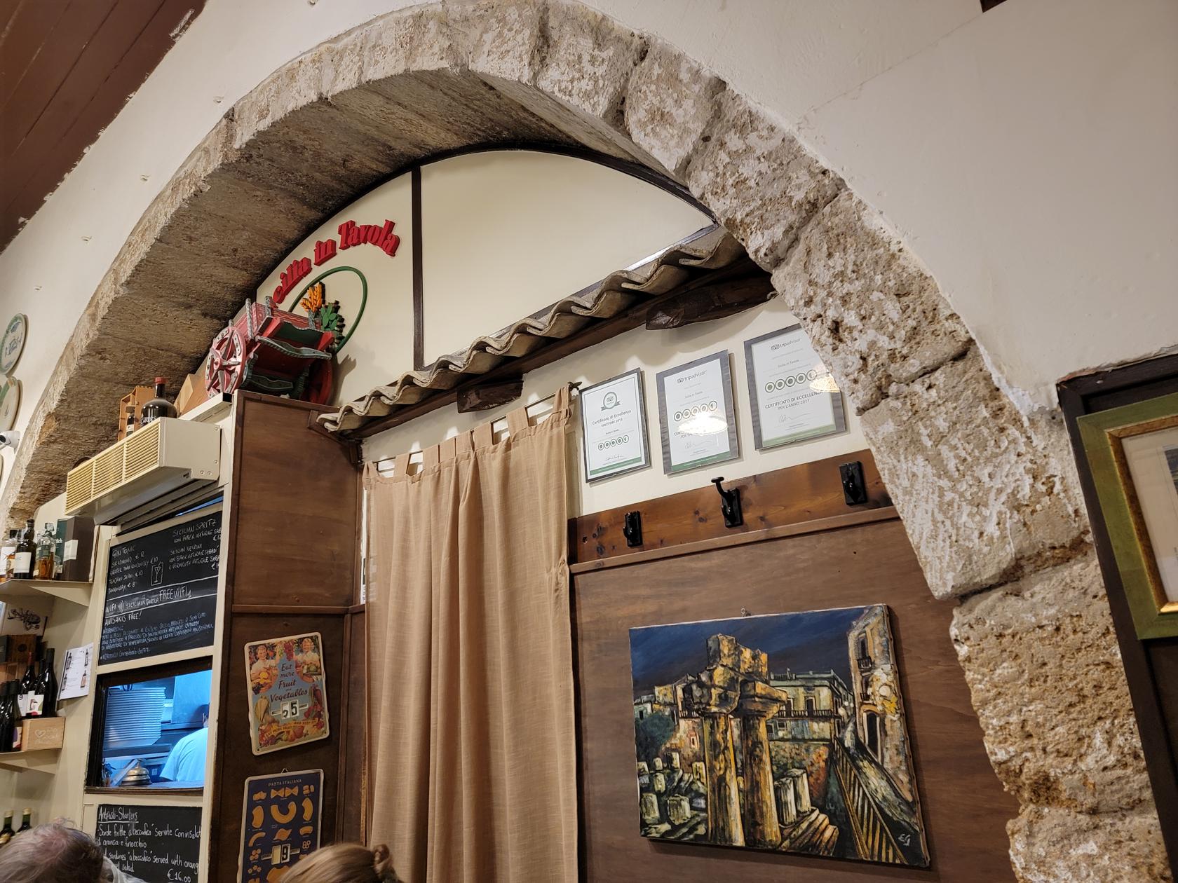
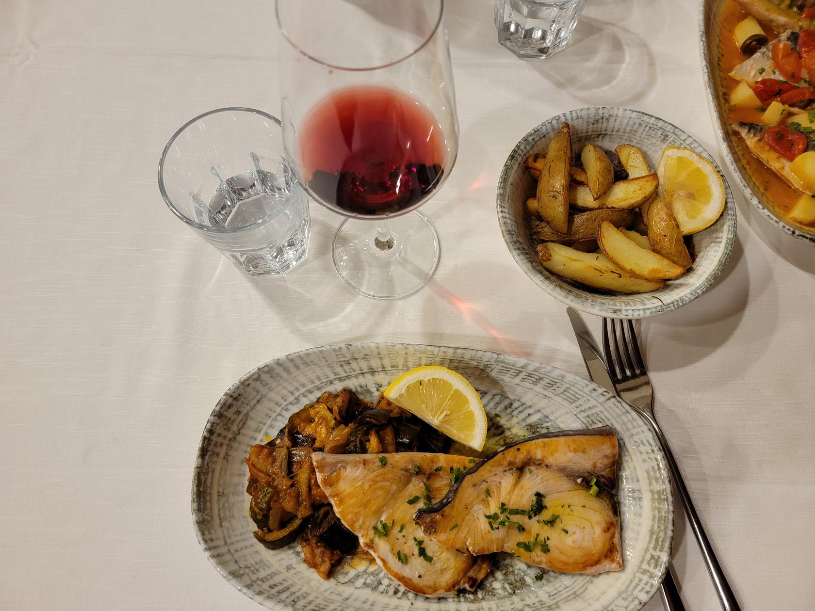
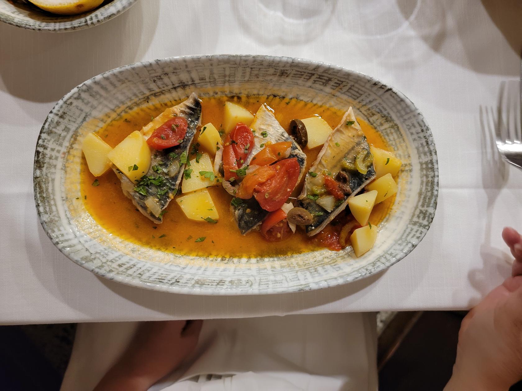
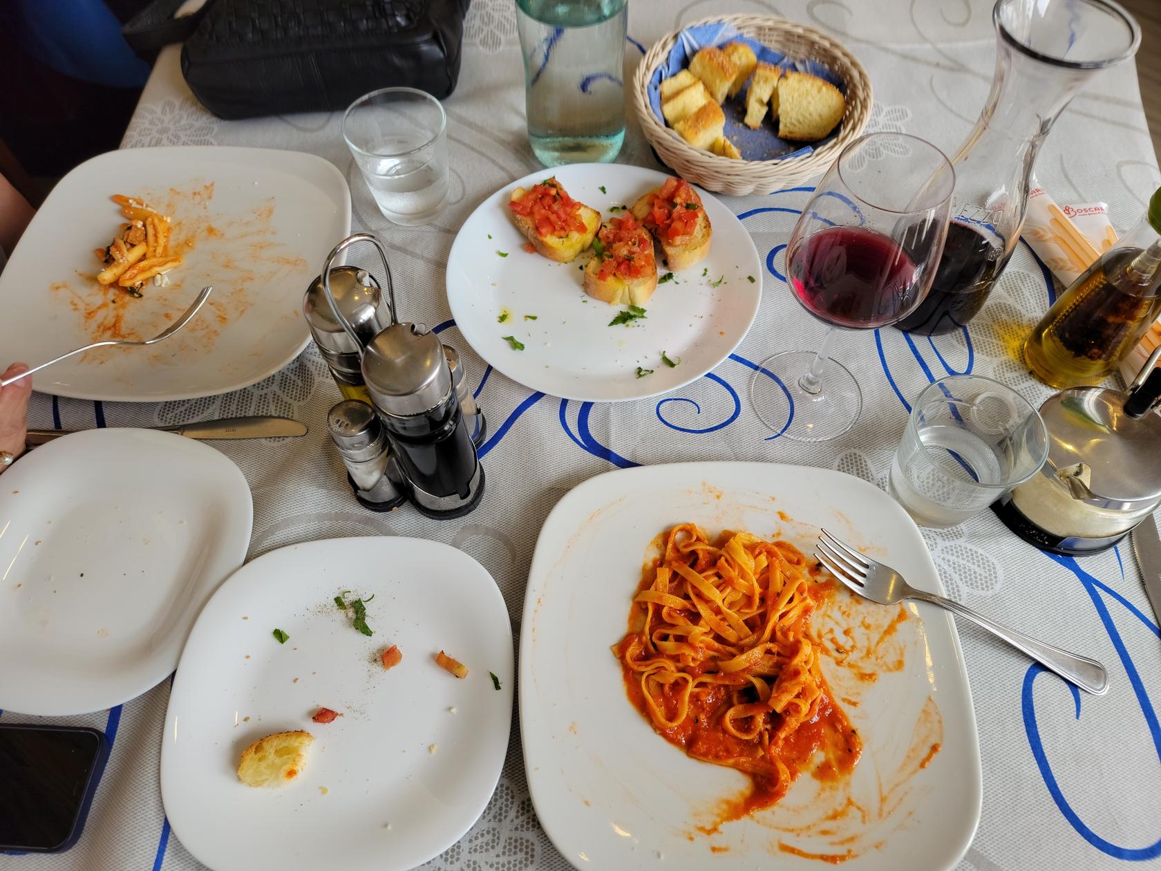
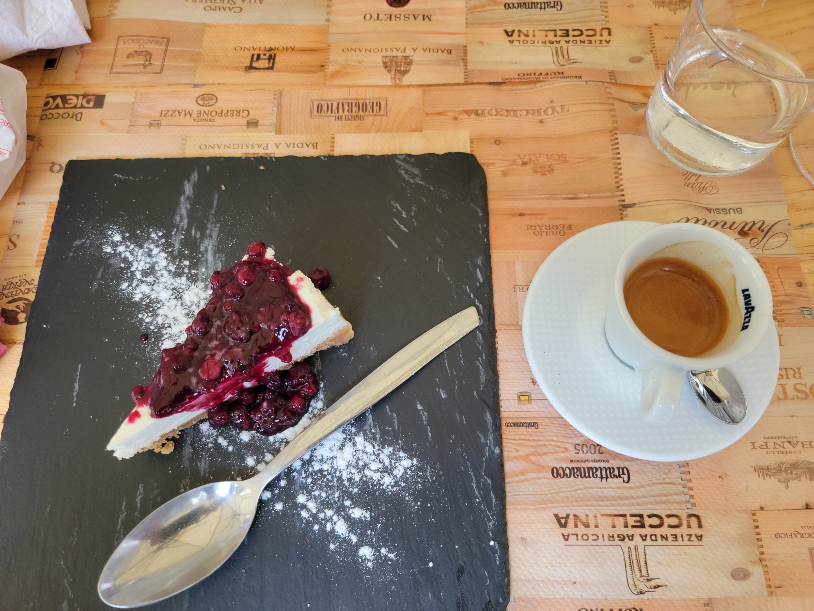
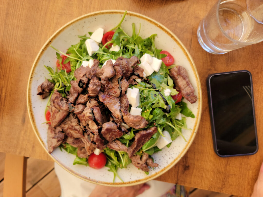
Ristorante Sicilia In Tavola
A gastronomic pleasure with an unpretentious interior is Ortigia’s In Tavola Ristorante.
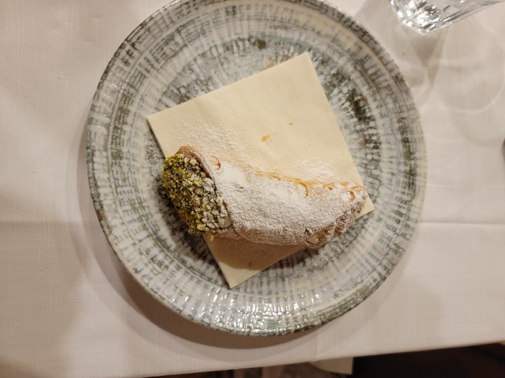
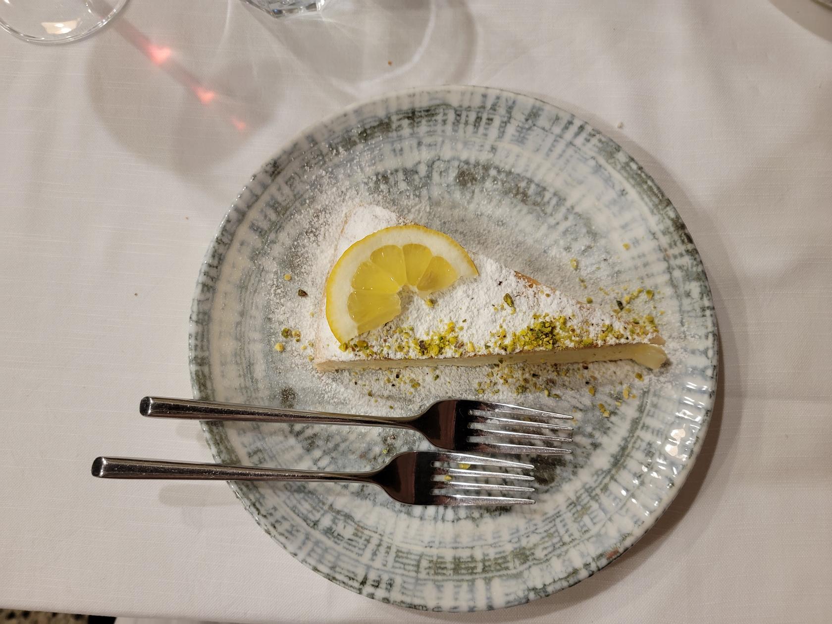
Here, as with many other place, they have home-made pasta and spaghetti. However, we ordered fish, swordfish for me and mackerel for Patti. For dessert we had lemon pie and a cannolo, along with an coffee and an aperitif, the a Sicilian Amaro, for 77€ for two people.
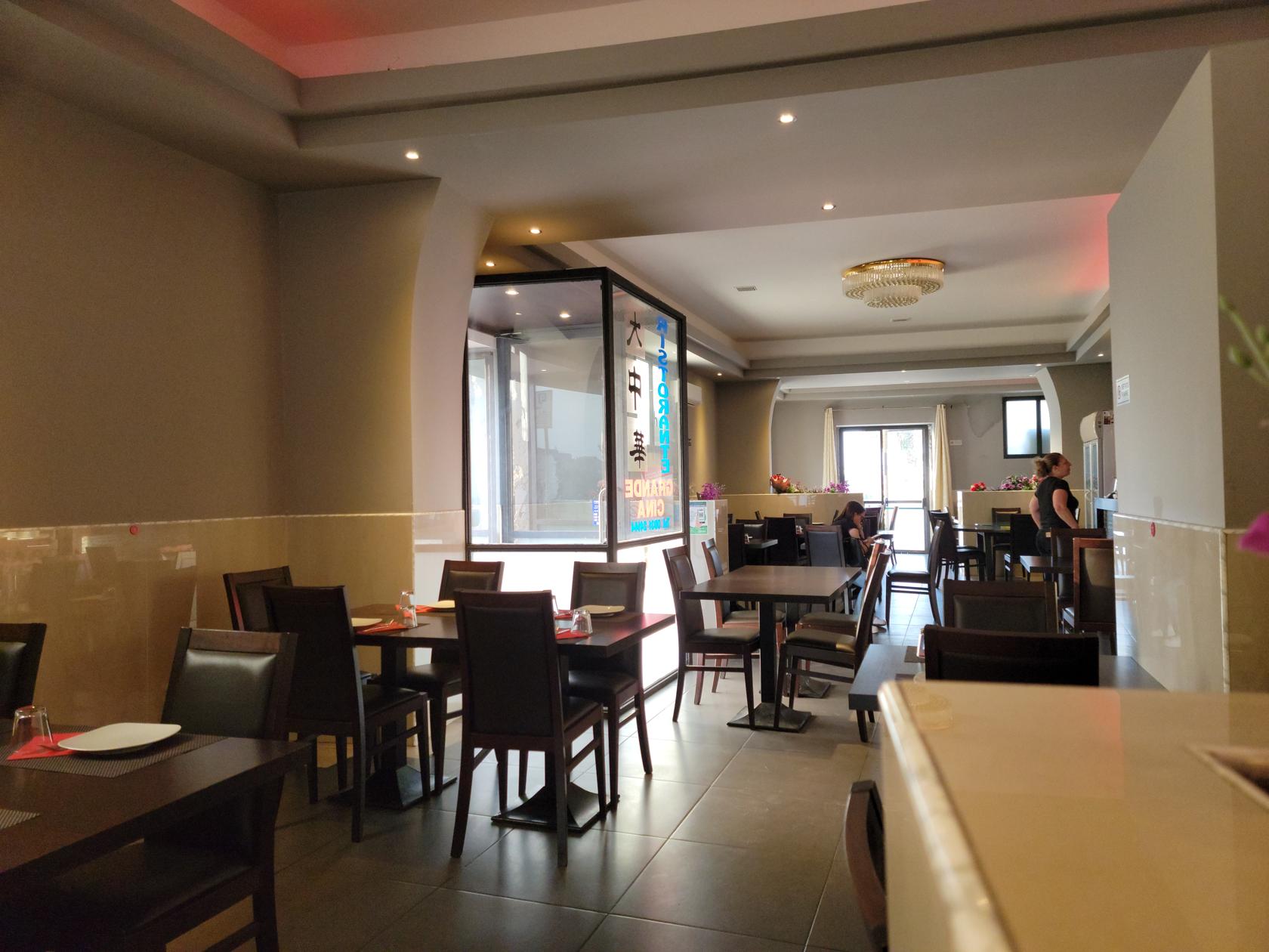
Ristorante Cine
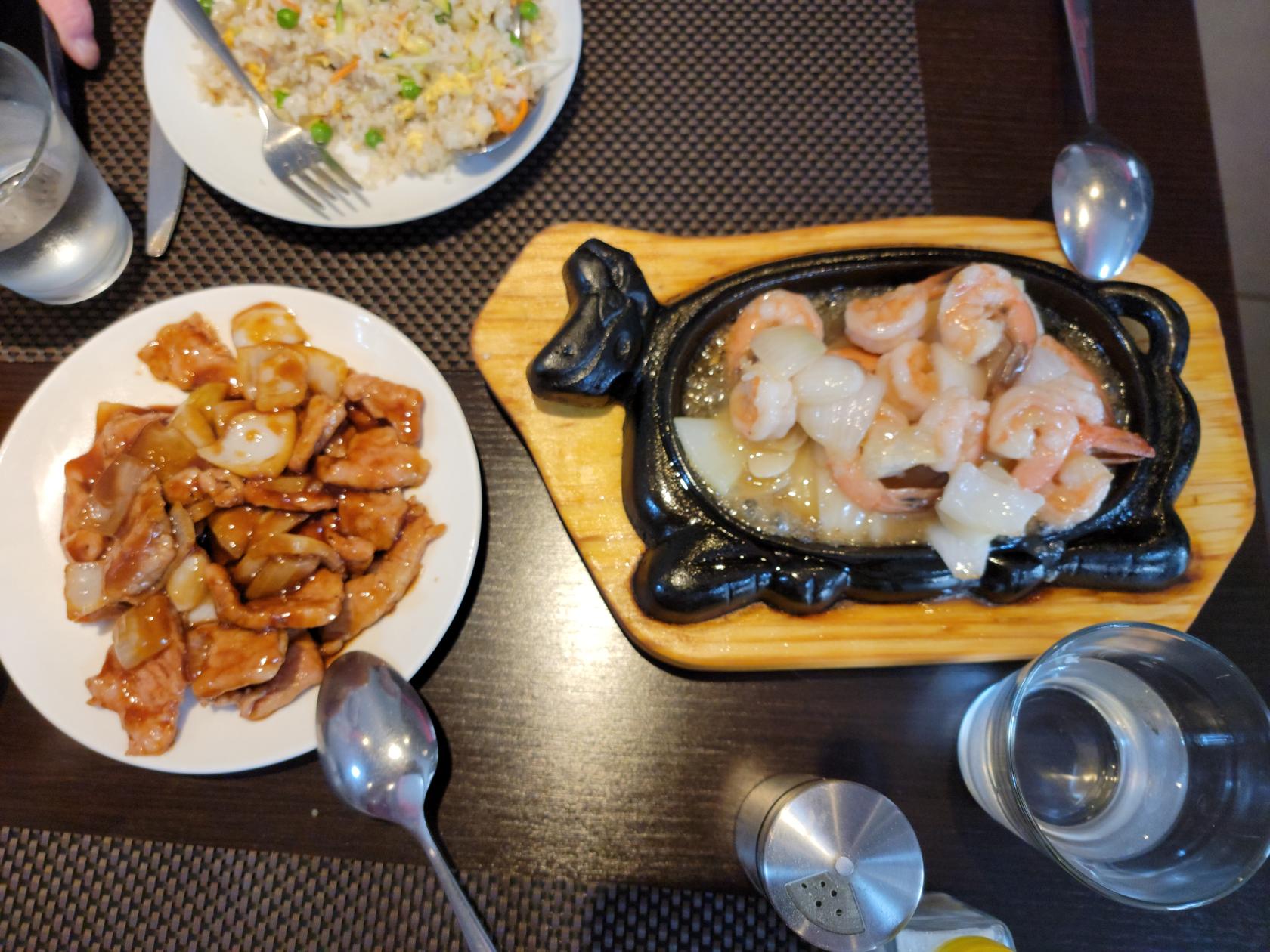
Having been eating Italian and SIcilian food for too long, we tried RIstorante Cine and really like it. Though the ingredients are different from what we are used to in Turin and the States (though not unusual), the owner was more than happy to alter any dishes to our tastes. We only ate lunch here and for two, we were able to order an appetizer, primi (vegetable rice) and secondi (chicken or pork or vegetables in white sauce), along with a half carafe of red wine, water, coffee and sambuca for under 30€! It is hard to beat that in a tourist area.
La Tavernetta Da Piero Fuori Ortigia
We ate lunch here on Sunday, the 21st of May, 2023, after visiting the Archaeological Park and when unbeknownst to us Mount Etna was erupting.
After we finished and began walking back to the hotel, we noticed dust getting in our eyes. At the time we had no idea why and surmised that the recent bad storm had brought in dust from Africa, which can occasionally happen. When we read the next day that the Catania Airport had closed due to ash if finally dawned on us that it had been the ash from the volcano all those miles away that was the cause.
Gelateria
If you are looking for gelati in Sicily, do not buy the brightly colored ones, usually they are made of inferior ingredients. Instead, look for the Artiginale label. Though you will pay more for a cone of cup of this, it will be far more worth your while in taste later.
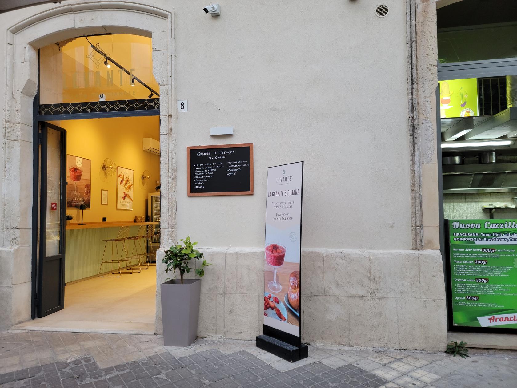
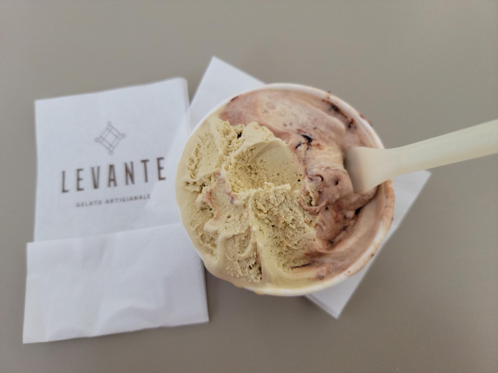
Levante Gelateria
Another good Gelateria, providing excellent artisanal gelati. I was particularly fond of their Amerano and Pistachio flavors.
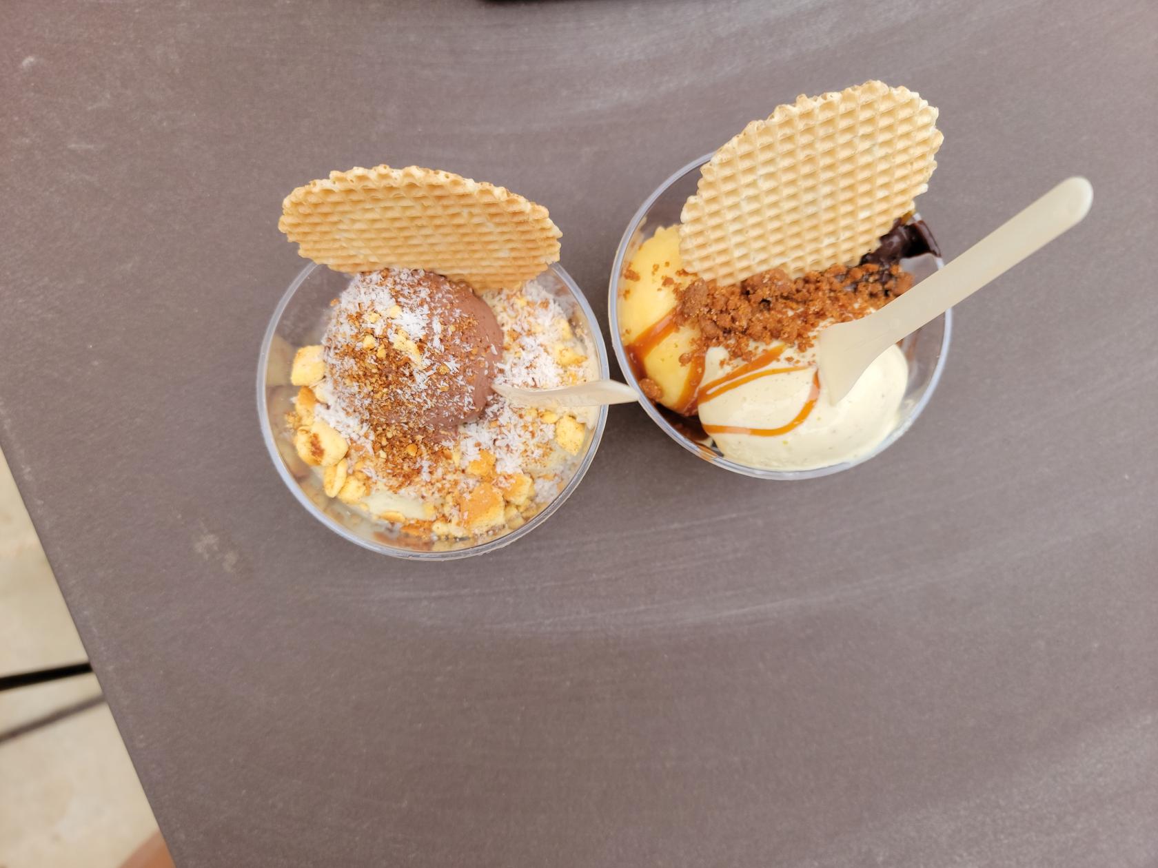
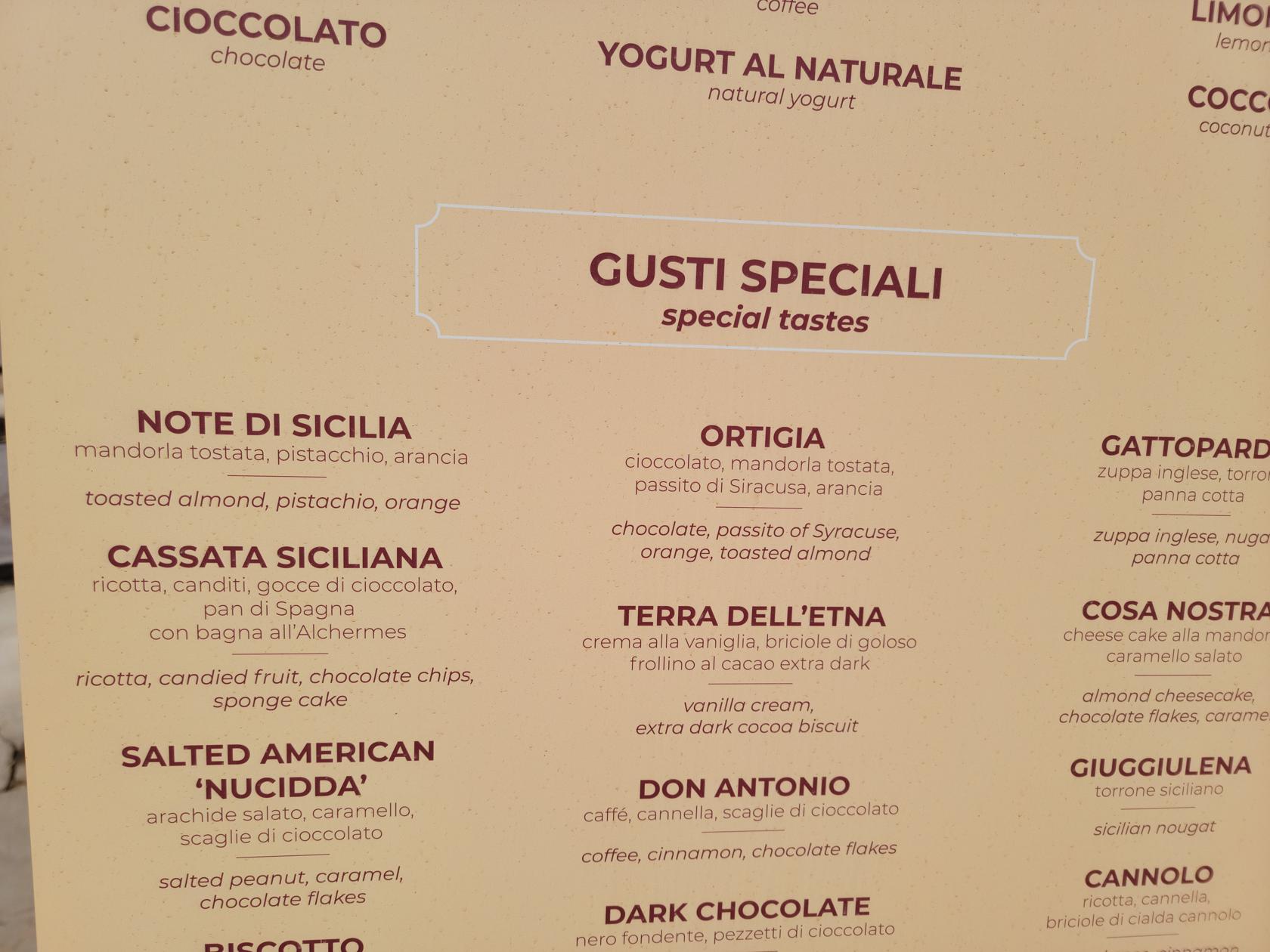
Fior Di Latte Gelati
Finding very good gelati anywhere in Italy is not a difficult task, here is no exception. It has great artiginale (artisanal) flavors, I ordered the Ortigia and Note Di Sicilia, and Patti ordered the Note Di Sicilia, Mandarin Orange and Dark Chocolate with a hint of orange.
Prague, Czech Republic – Petrin Hill
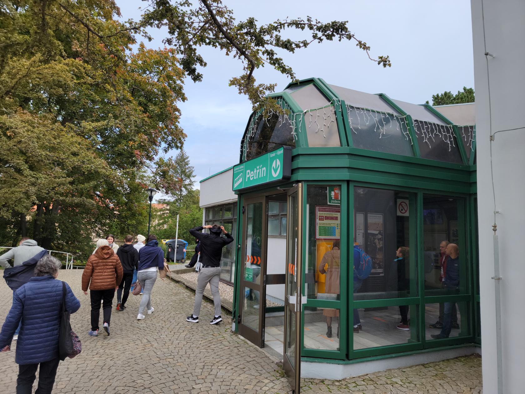
Prague’s Petrin Hill
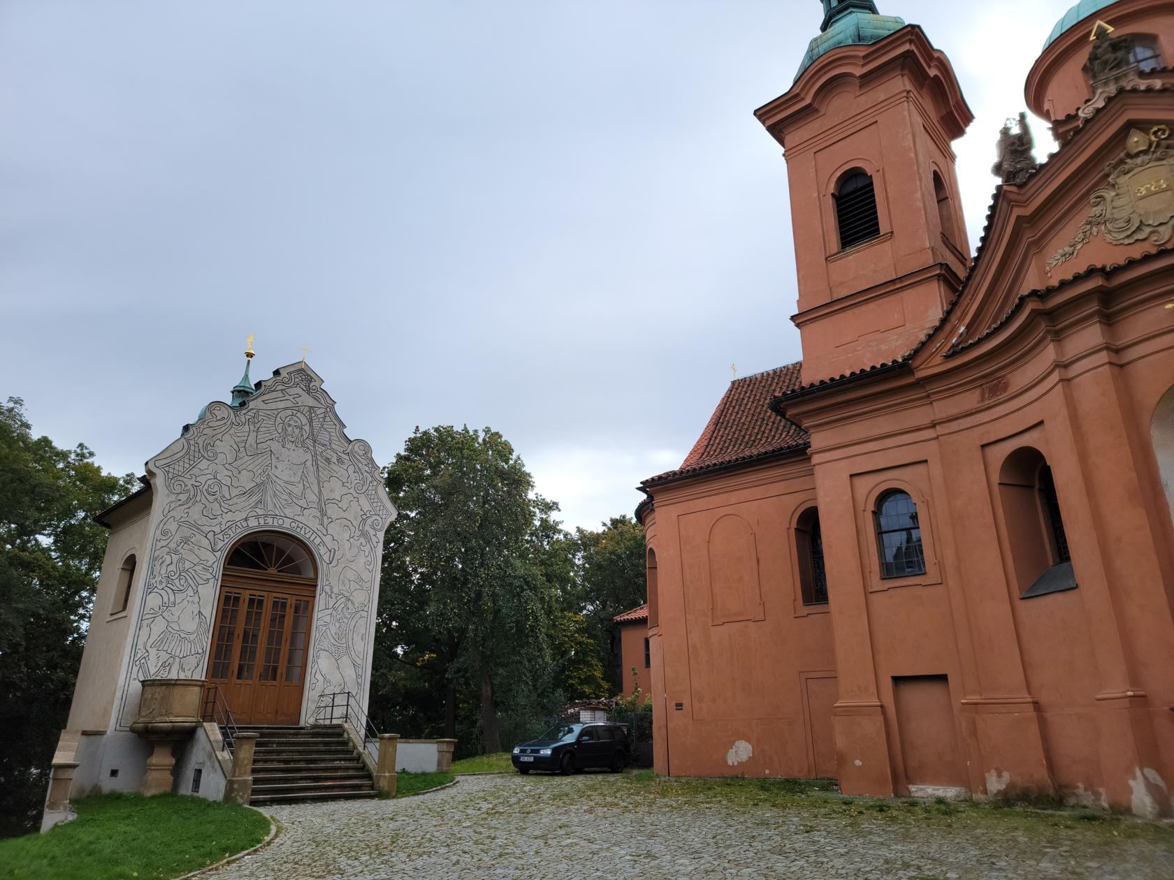
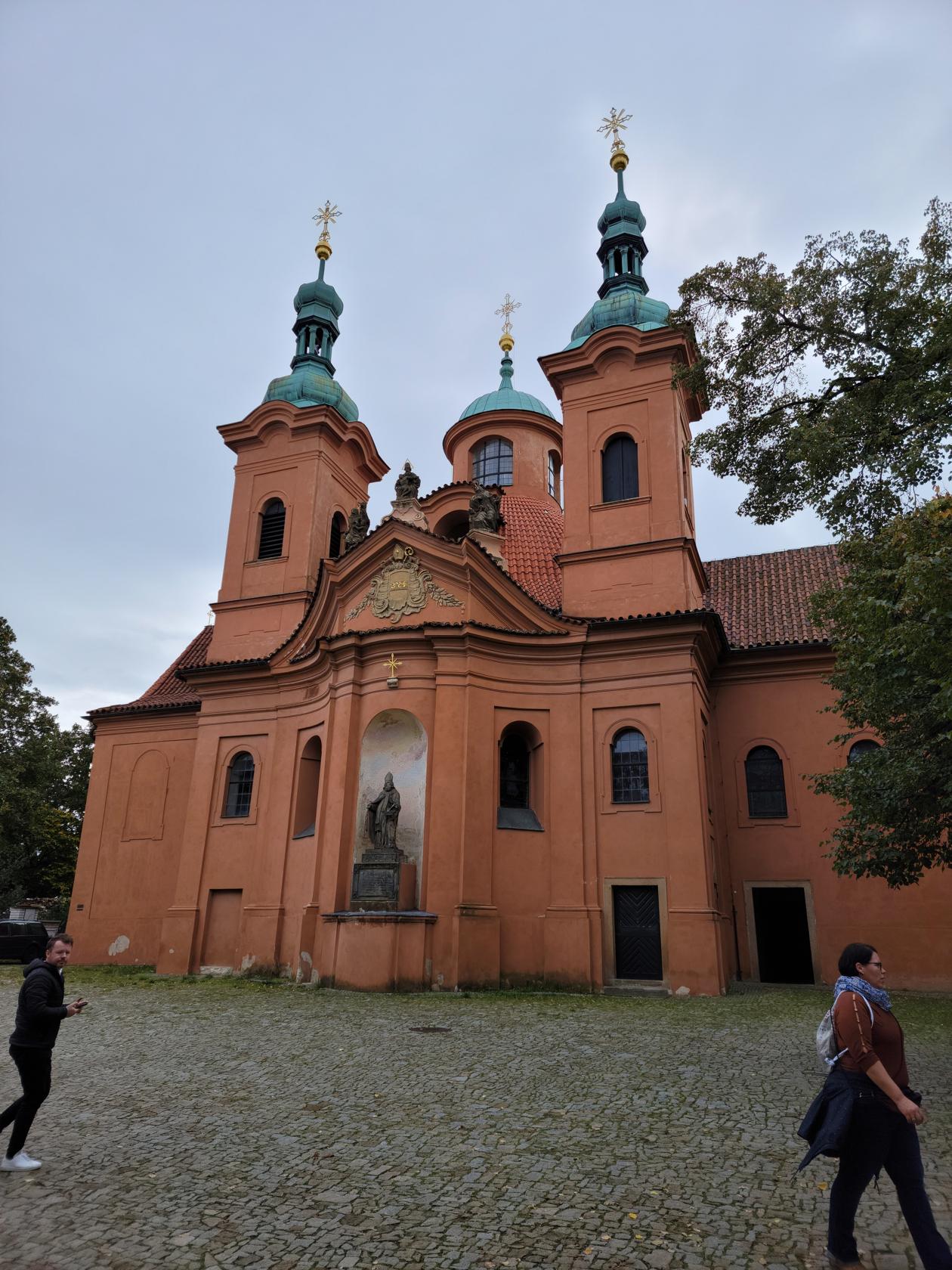
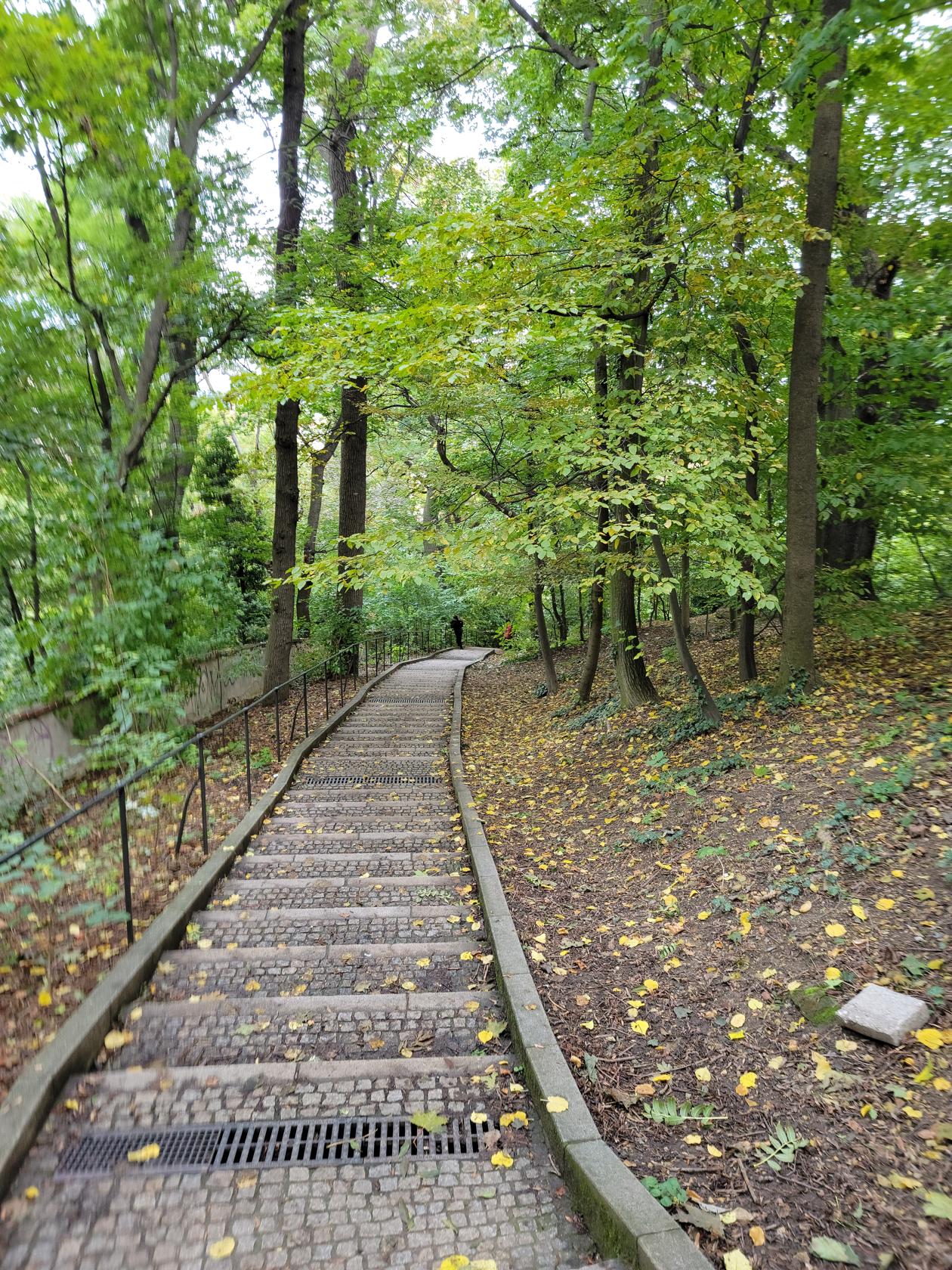
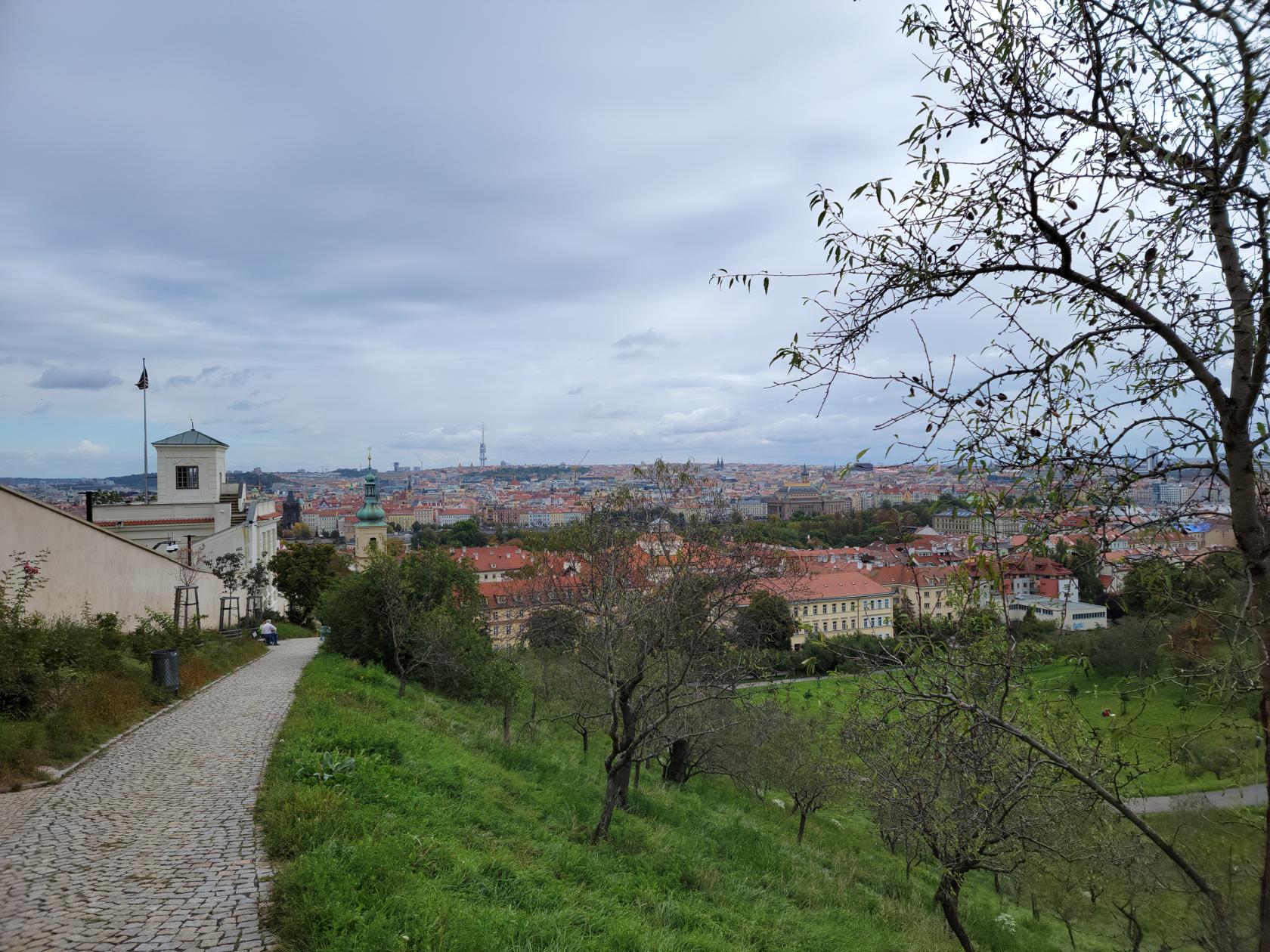
Above the city lies Petrin Hill. A walk of a little over a kilometer and about three hundred steps (if you happen to go that way), or you can take the funicular (which we found to be very crowded on the Sunday), so we walked.
The nice thing about walking, aside from someone you don’t know breathing on you in a confined space, is you get to see things along the way the others in the funicular won’t. Plus, if the weather is nice, it’s actually quite a nice way to spend a Sunday morning.


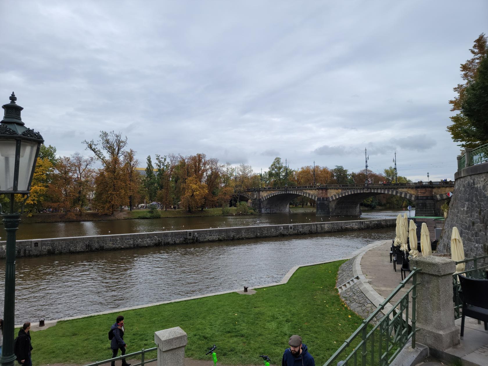
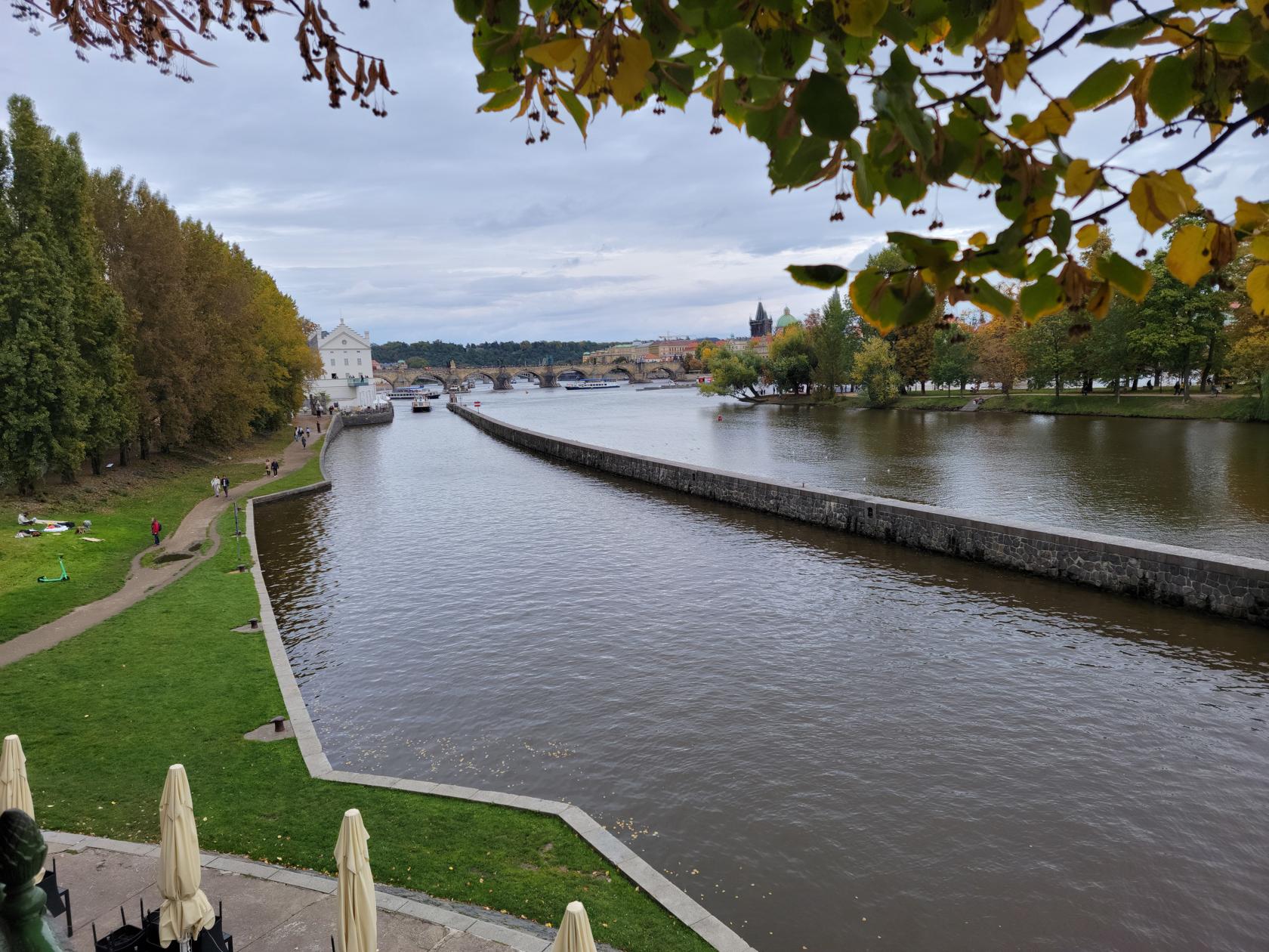
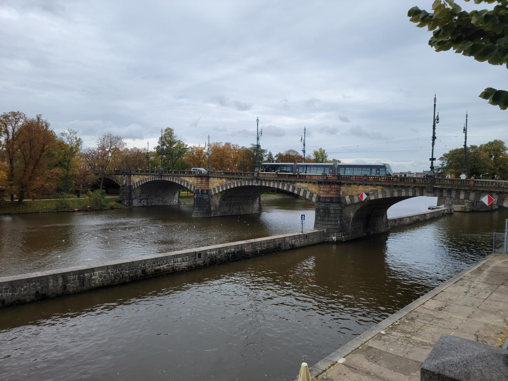
After Petrin Hill, we continued our walk along the river a bit, before going across the Legion Bridge. Here we watched the river boats enter the river lock mechanism, in order to continue their journeys up the river.
Restaurants
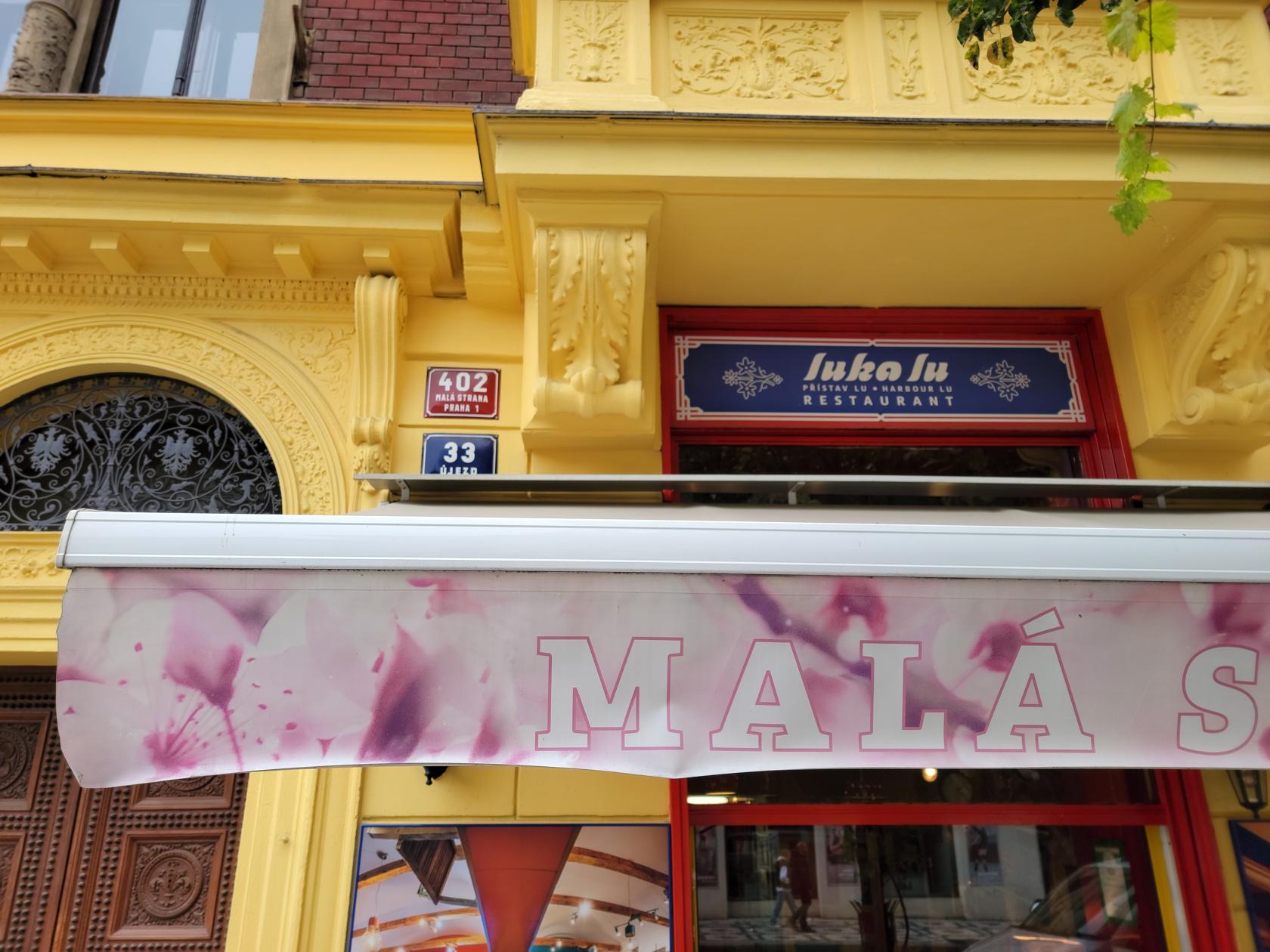
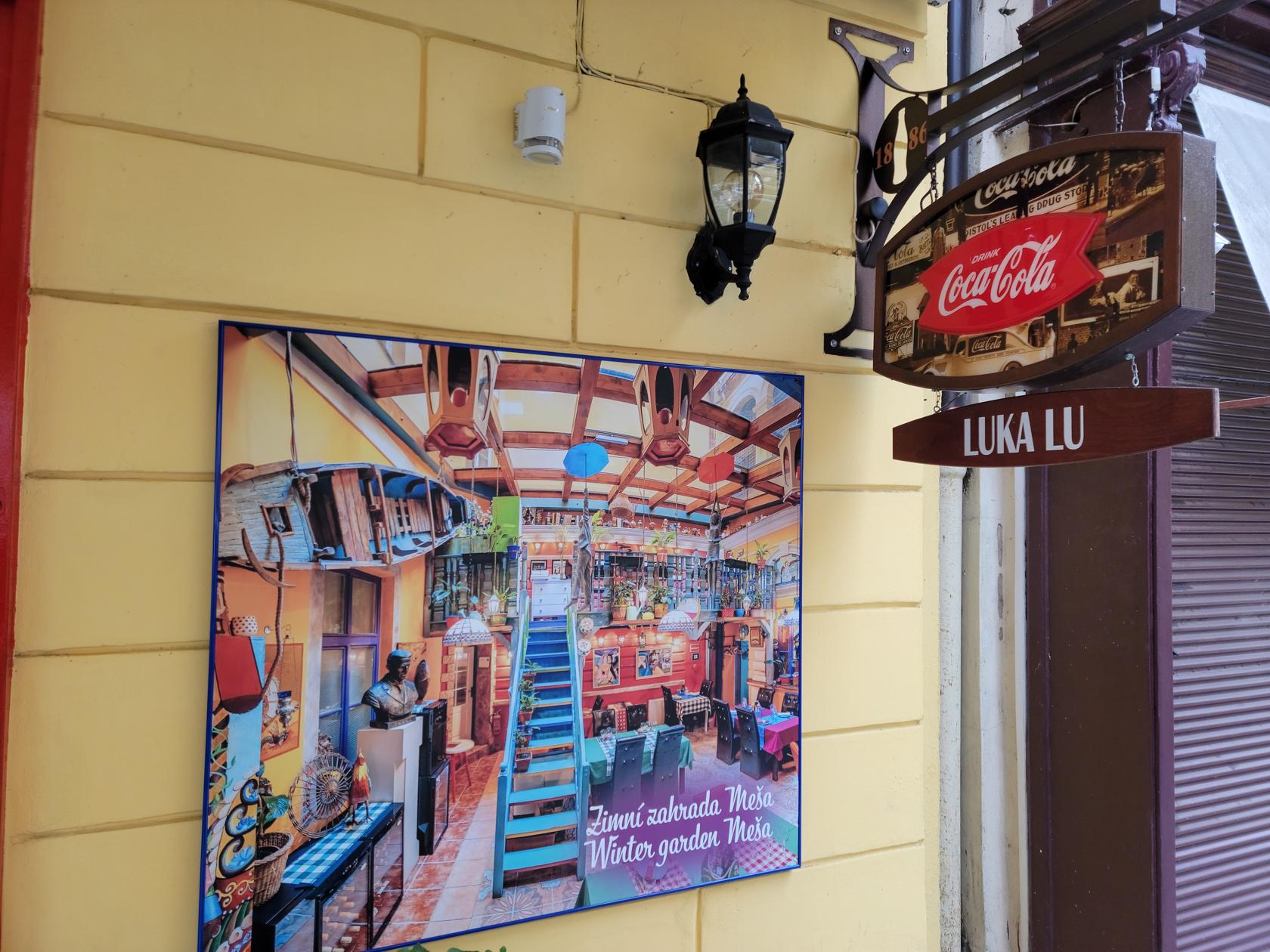
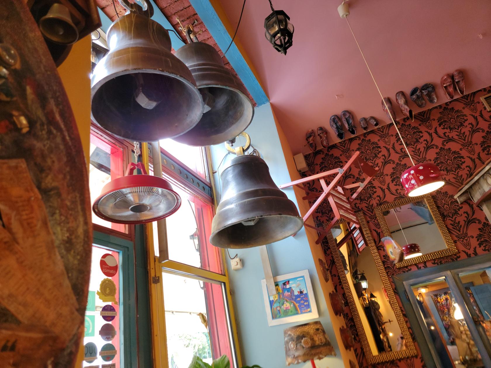
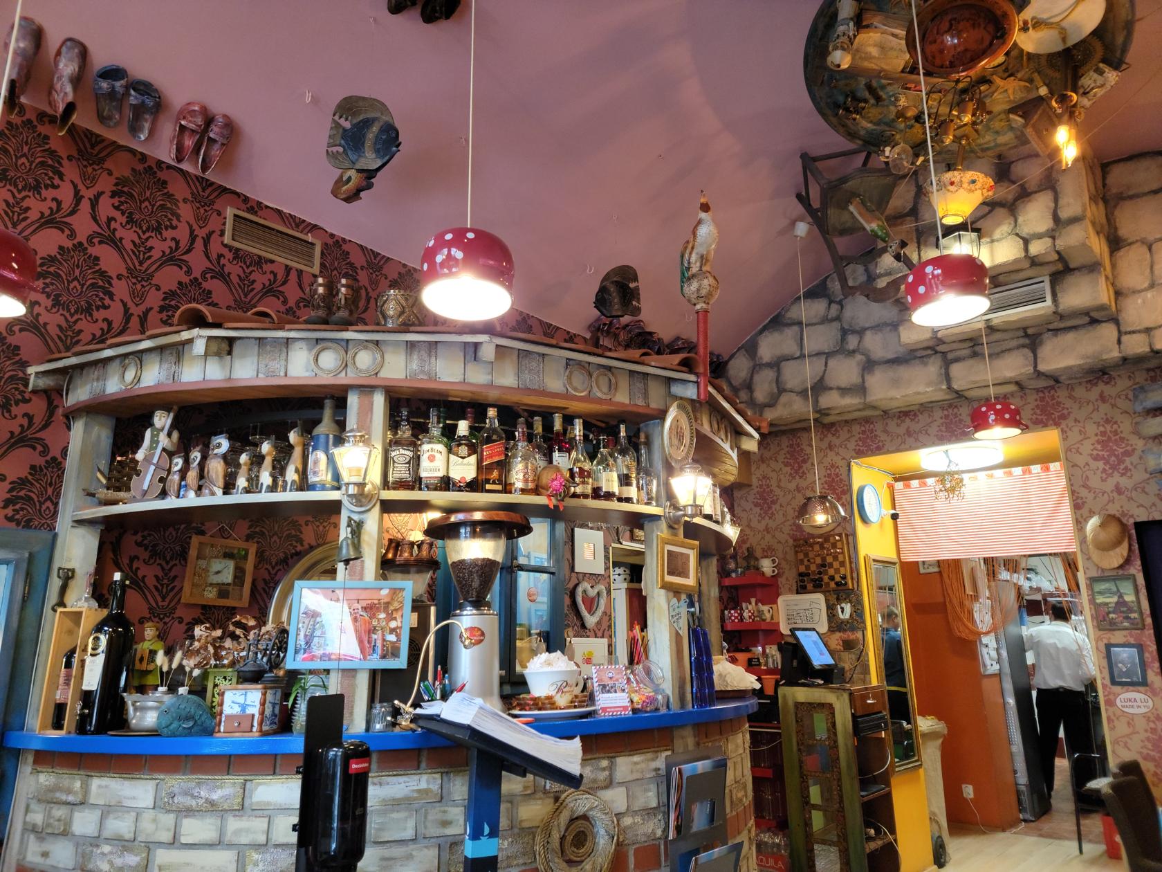
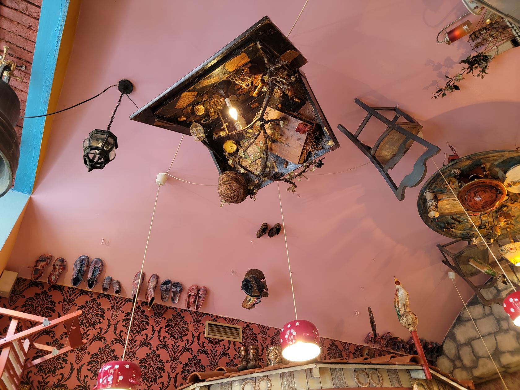
Luka Lu
If you are looking for good food while dining in a very off-beat interior, look no further than Luka Lu’s. Located on Újezd street in Mala Strana, it is an excellent place for lunch.
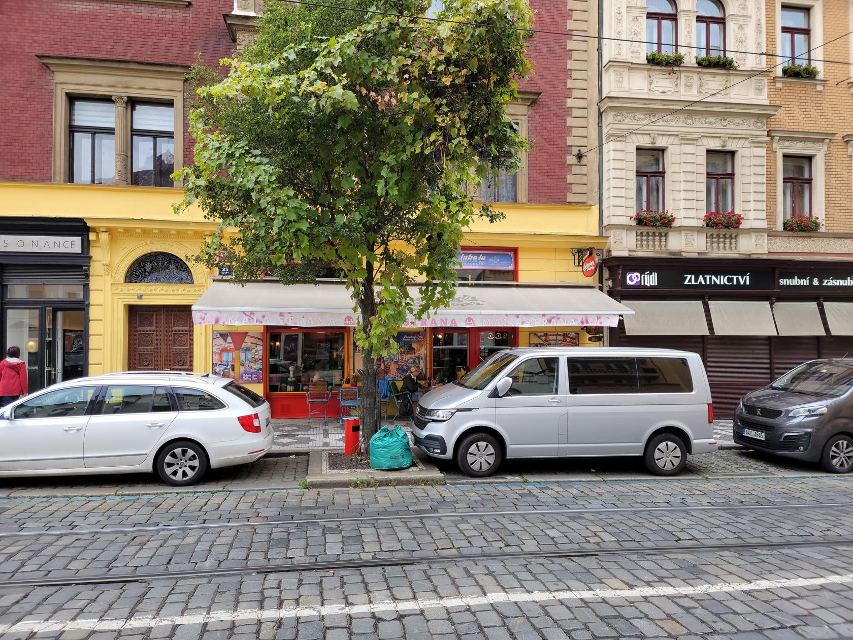
After our journey through the park and Petrin Hill, the four of us stopped for lunch. The food at Luka Lu’s was very good, service was great and the off-beat interior somewhat of a treat. If you are looking for something different, this might be the place for you. The prices were very reasonable too!
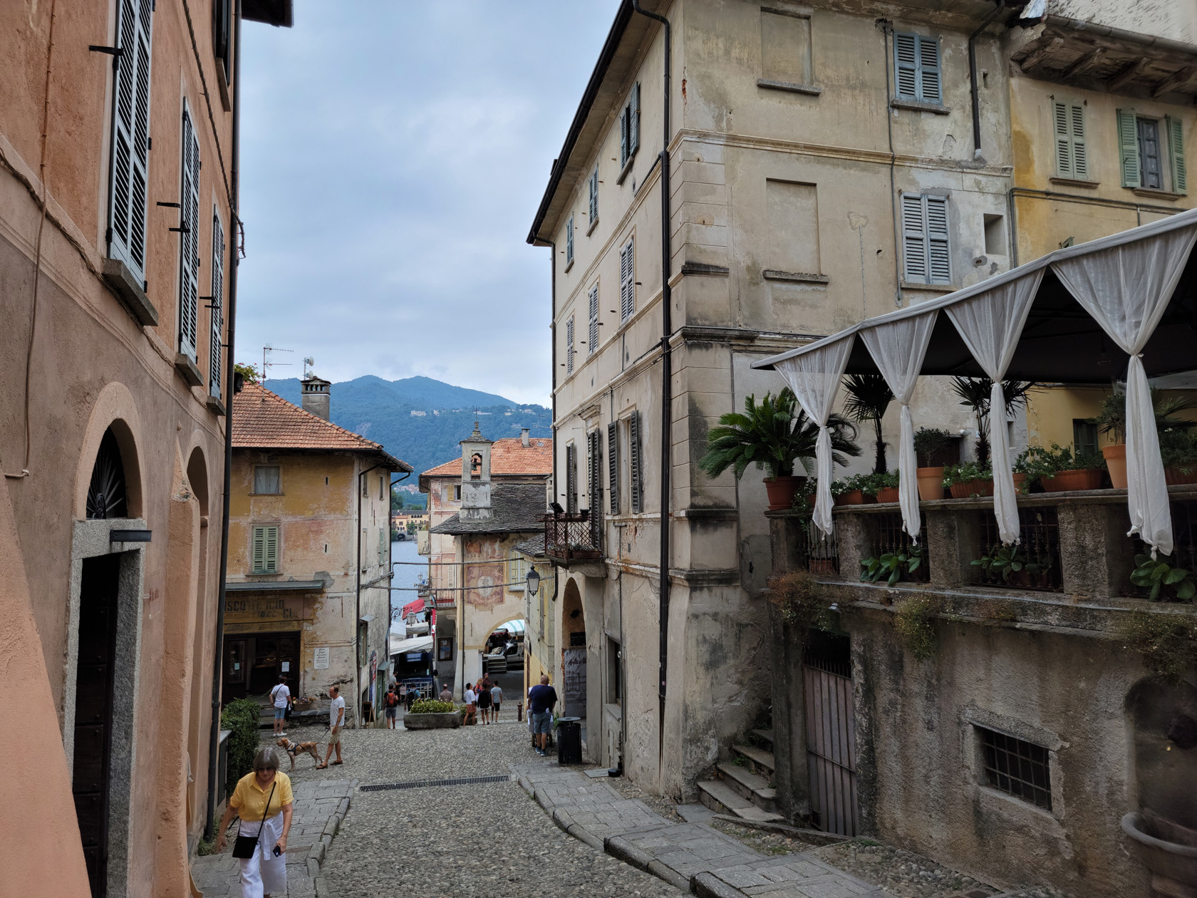
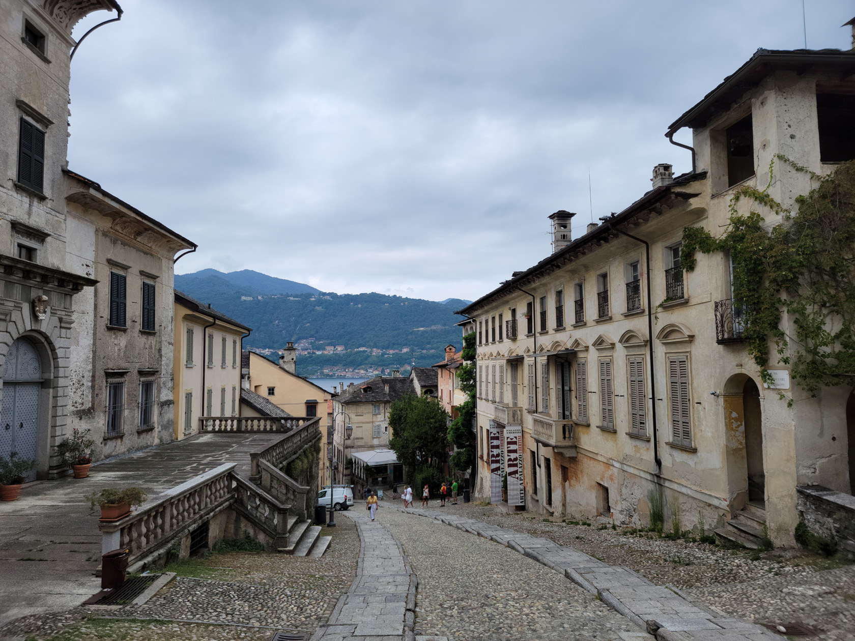
Orta San Giulio, Italy – Promontory for Pilgrims
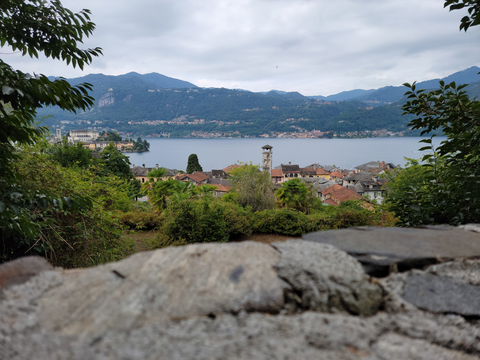
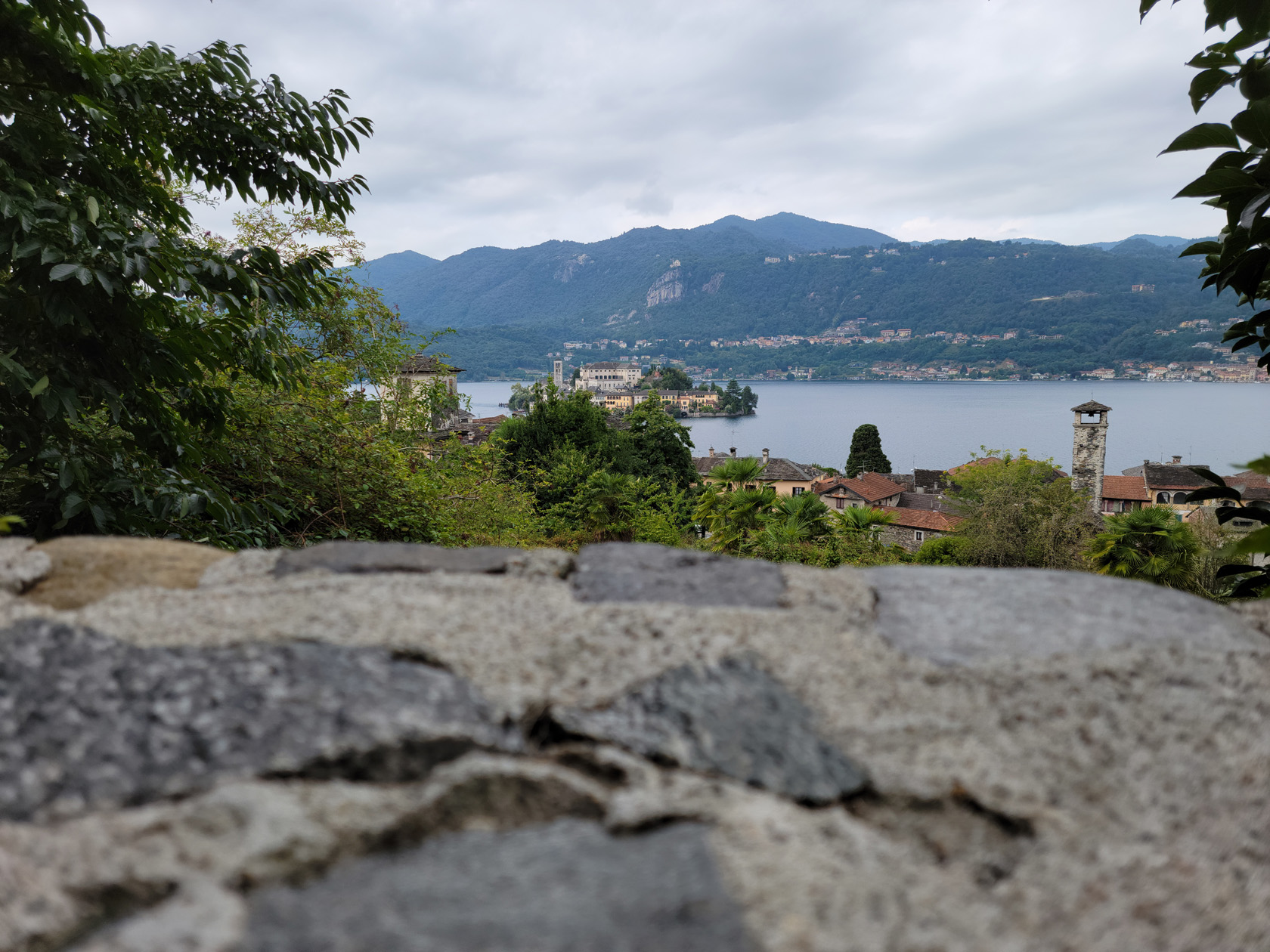
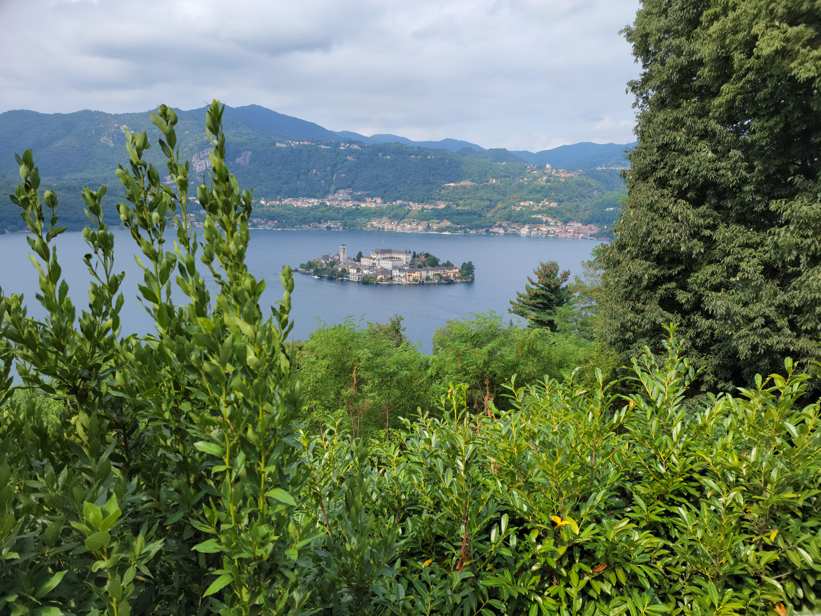
Across from the Isola di San Giulio sits the town of Orta di San Giulio on a promontory jutting out into the lake towards it. It is mostly known for the hill above it, or Sacro Monte, which contains the World UNESCO site of Sacro Monte di Orta.
Last Treats Of Our Time On Lake Orta
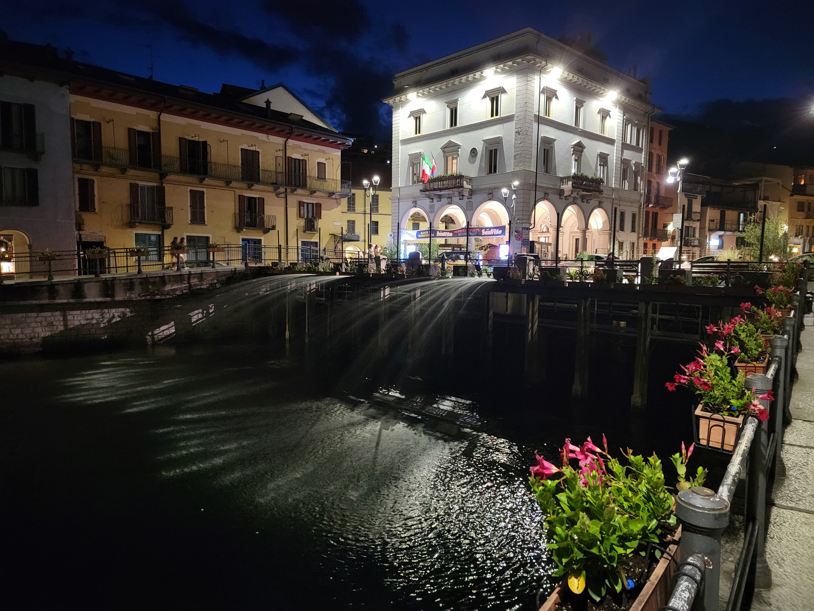
We actually took the public ferry twice[1]It is actually called the Servizio di trasporto pubblico locale or Servizio Traghetti Orta to Orta San Giulio, in order to more fully explore what this little town had to offer. While there, we visited the Sacro Monte, the main street of town and many of the shops that are open along the way. After our short stay it was time to head back and enjoy what was left of Omegna before returning to Turin.
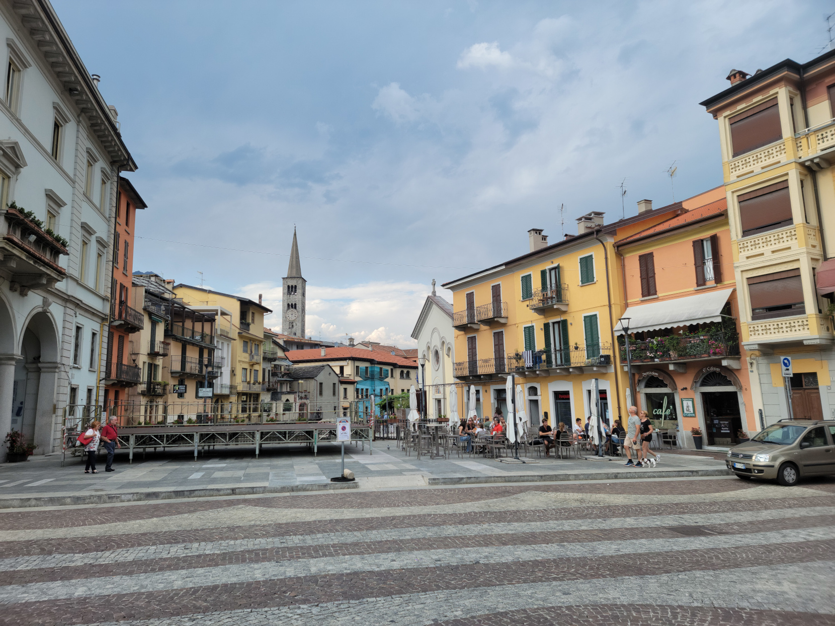
Orta San Giulio
A typical lake town on Lake Orta is San Giulio. As expected, most activity and the main square, is down by the water and along the shore of the lake. There are many cafes, bars and restaurants in Piazza Mario Motta, as well as some others sprinkled along the main street and in some alleys.
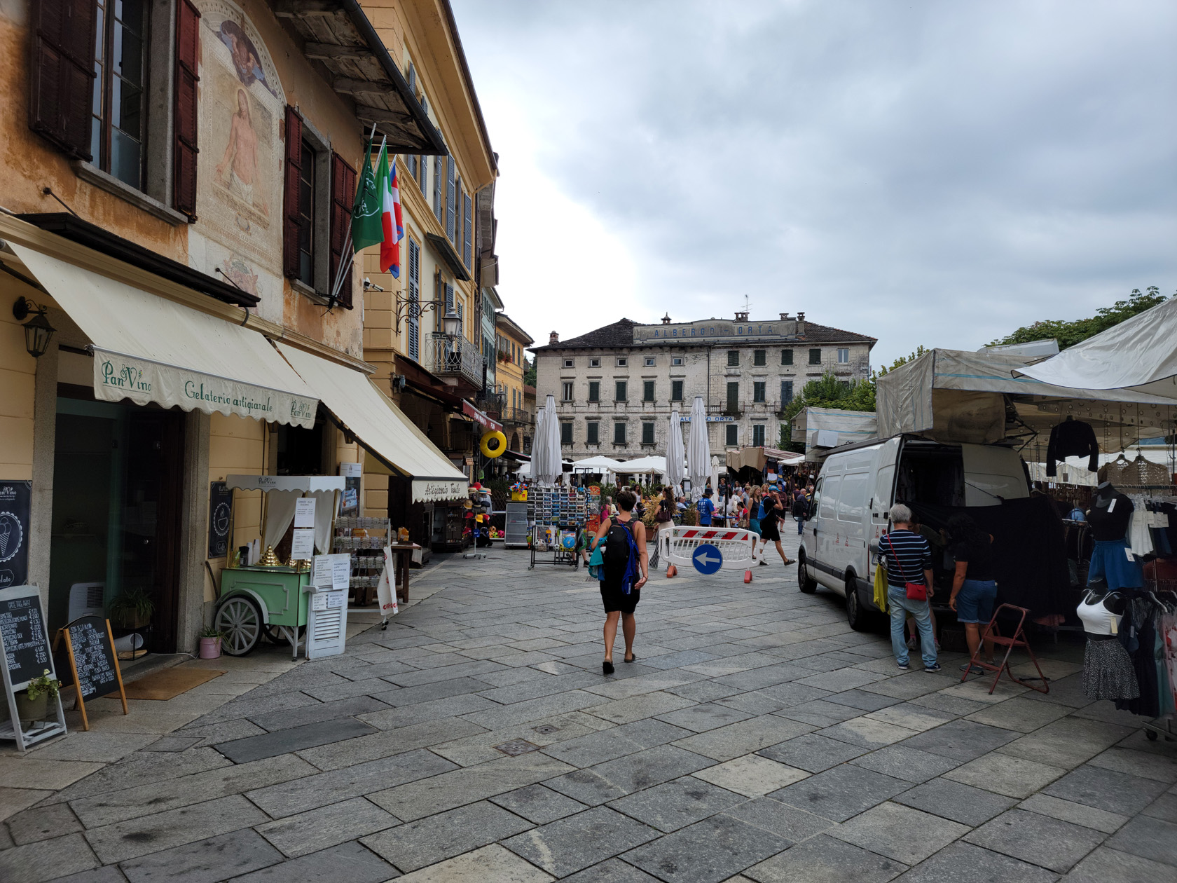
The main street, which changes its name almost every block, contains all of the shops in town. Here one can find anything from leather goods – made in Italy, to Piedmont agricultural goods and other local products.
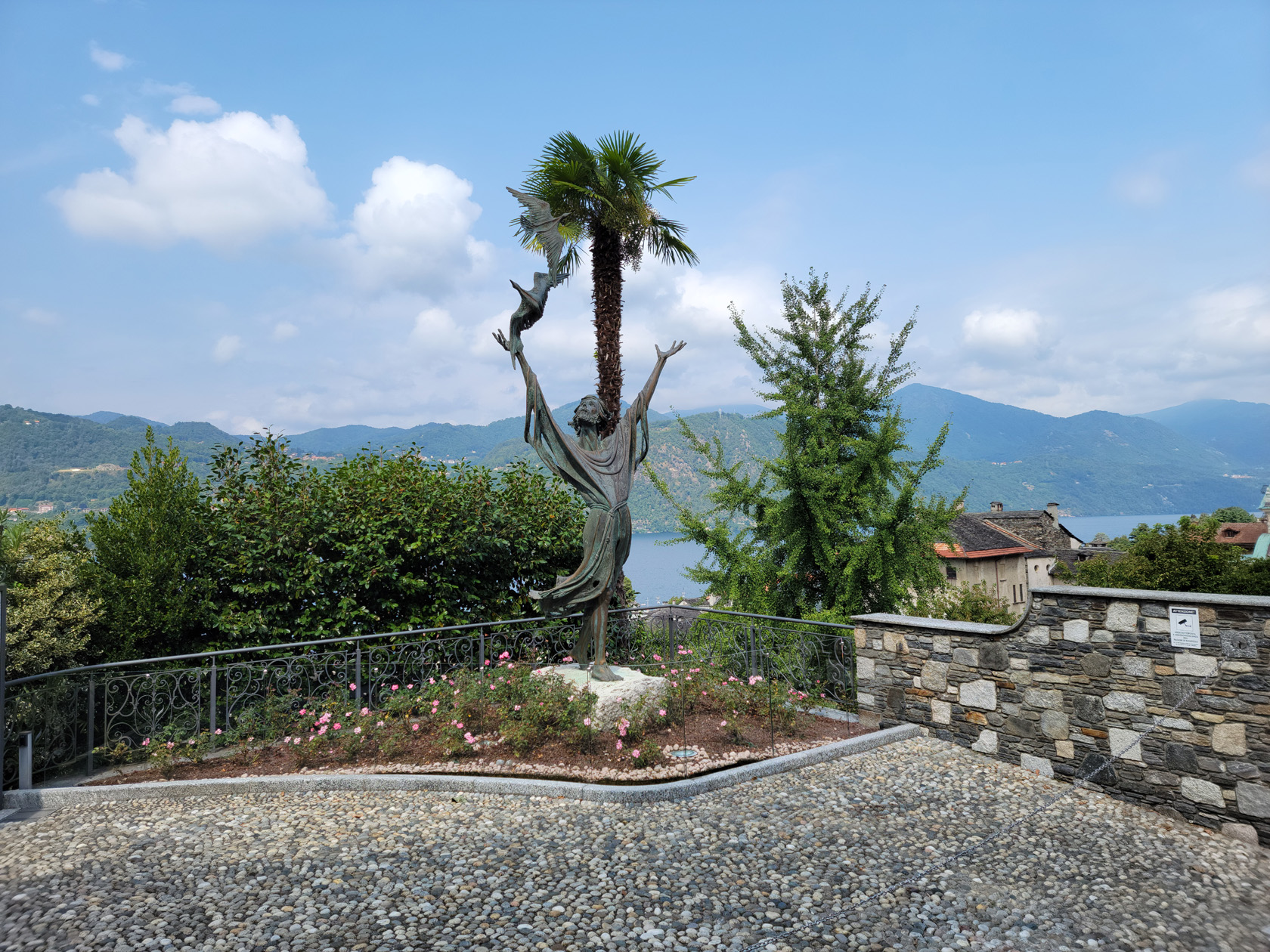

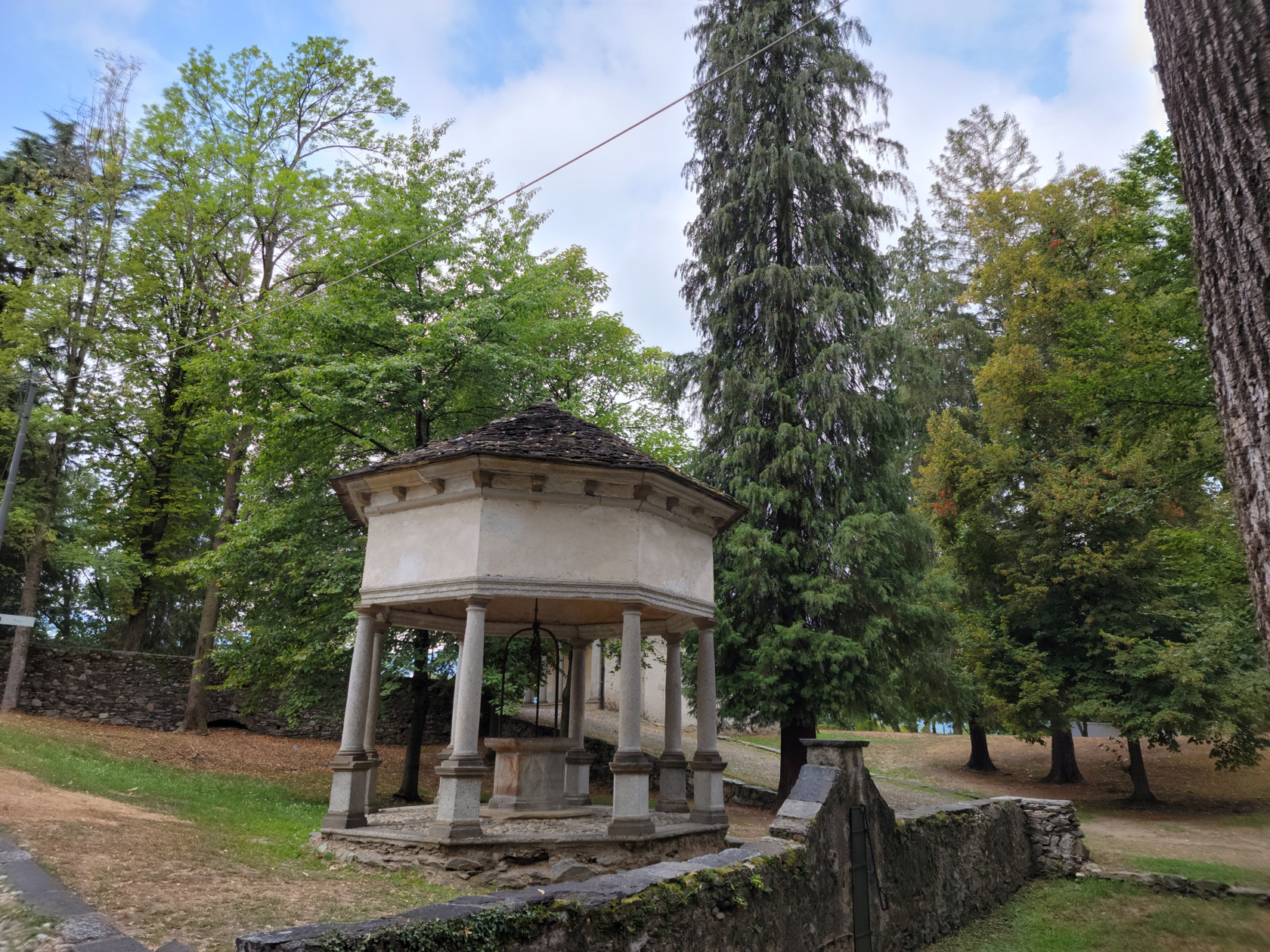
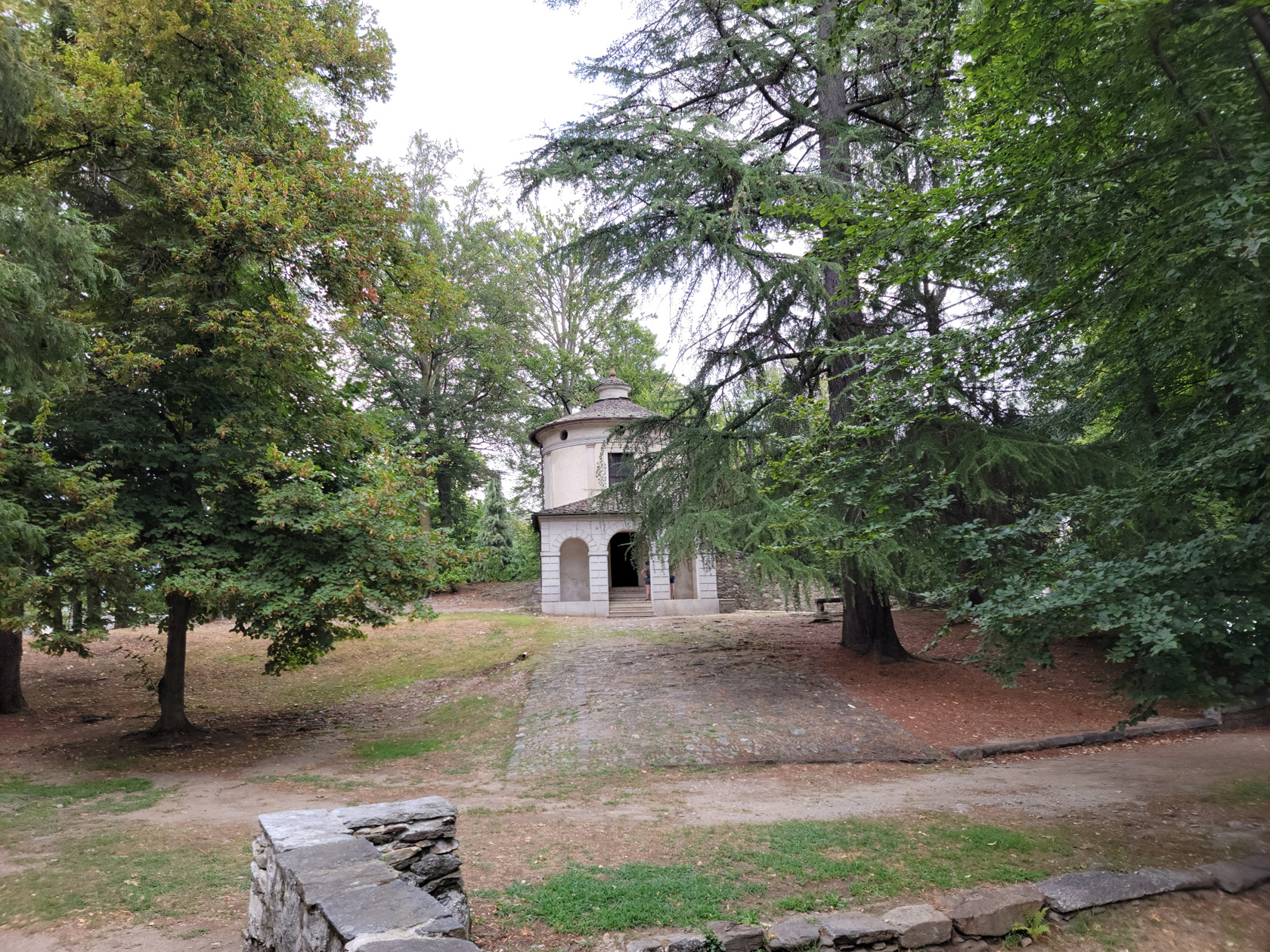
Sacro Monte
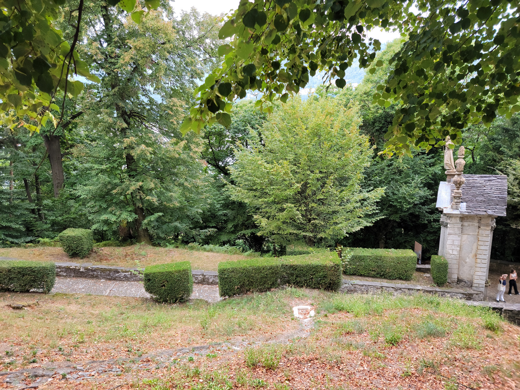
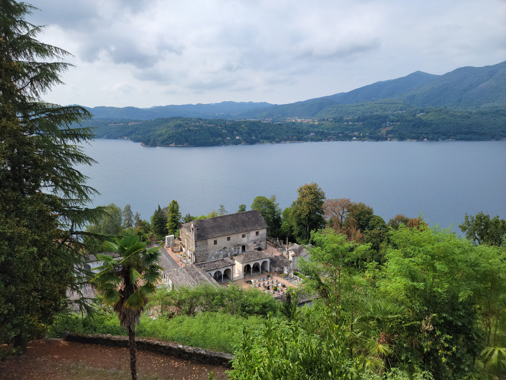
There are two ways to walk the hill to Sacro Monte, one can either take a left or a right at the Church of Saint Mary of the Assumption on via Caire Albertoletti.
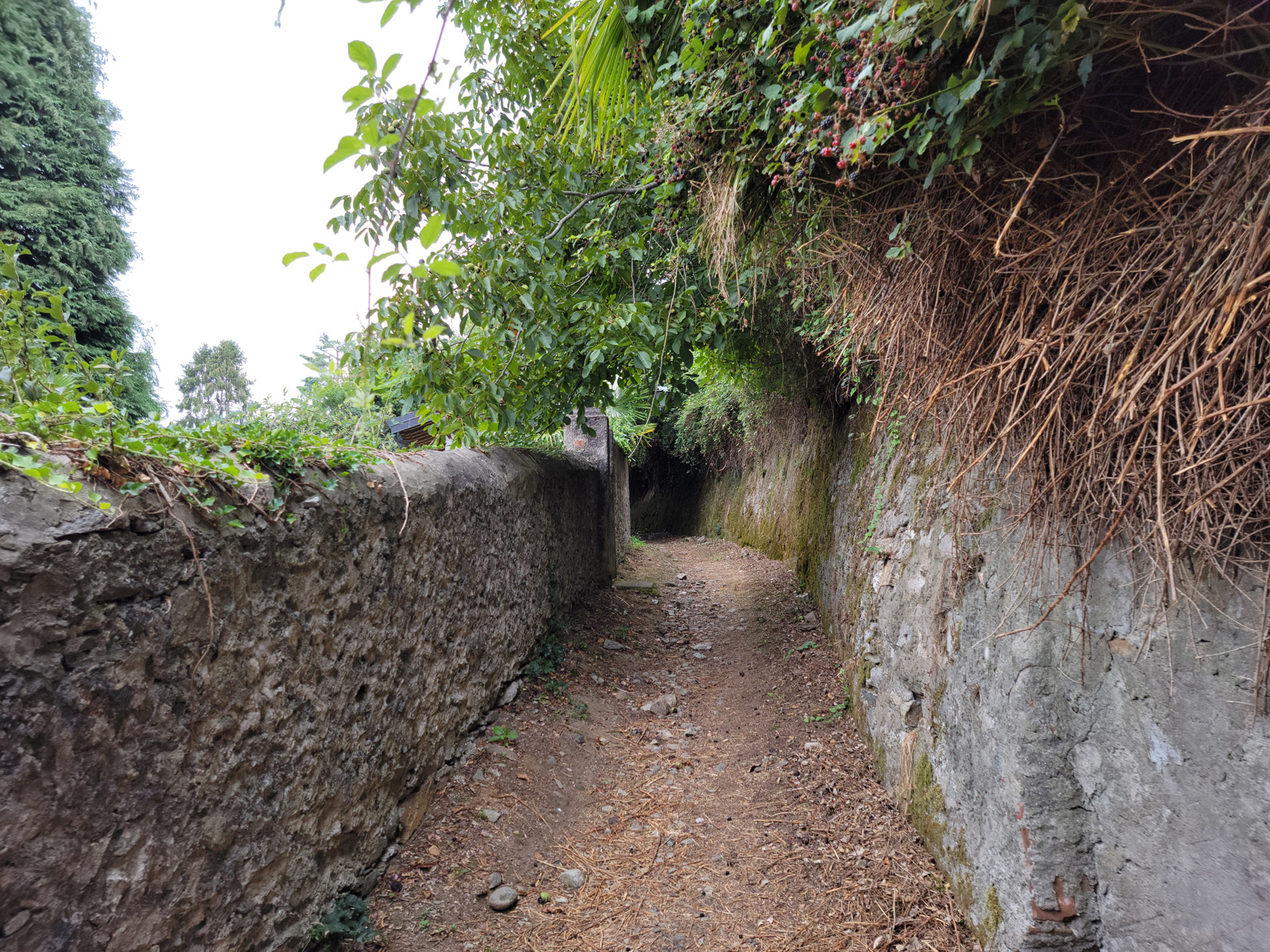

Most people will take the right, it is much shorter and direct, but as we found out, may not be offered on some phone maps[2]I swiftly submitted an update on the missing road, as soon as I was able. If one takes the left, you will circumnavigate the hill and eventually bring you back around to where you can enter the Sacro Monte from the back parking lot entrance, about a 15-20 minute walk. Of course there is nothing wrong with this, it is just different and longer, but will get you to the same place.
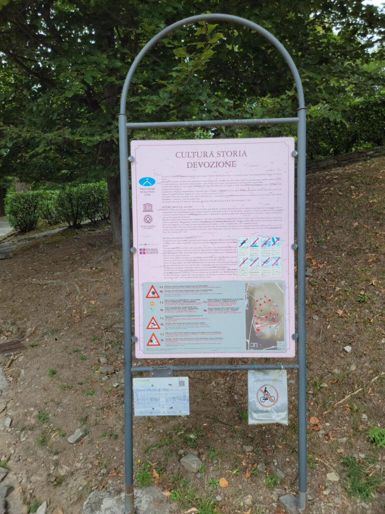
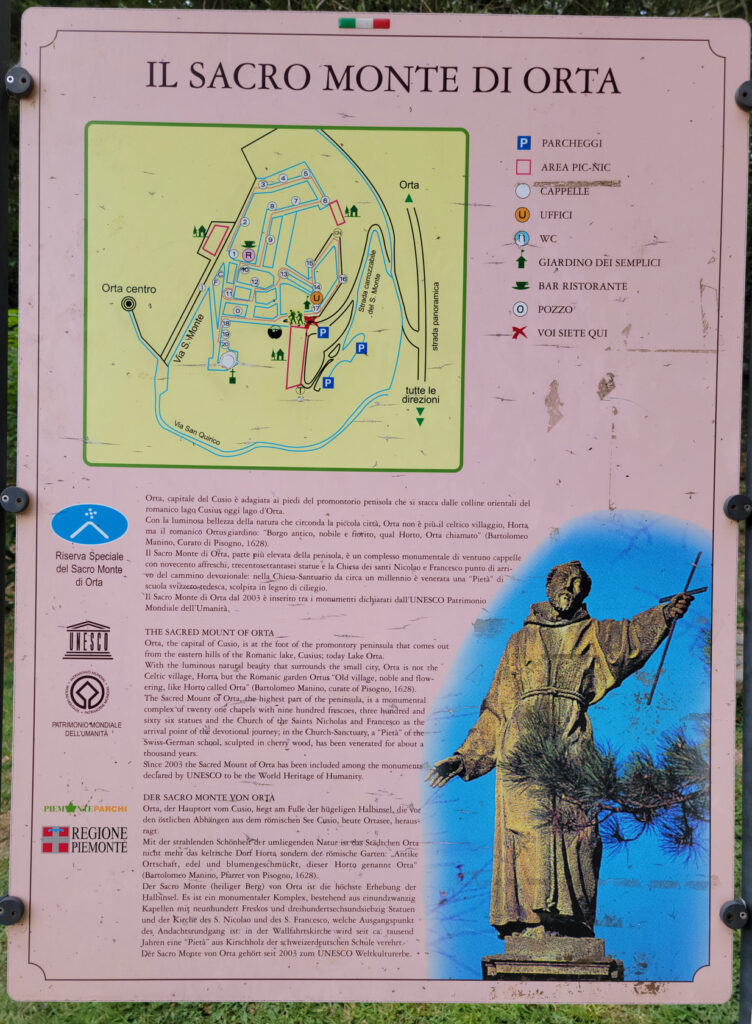
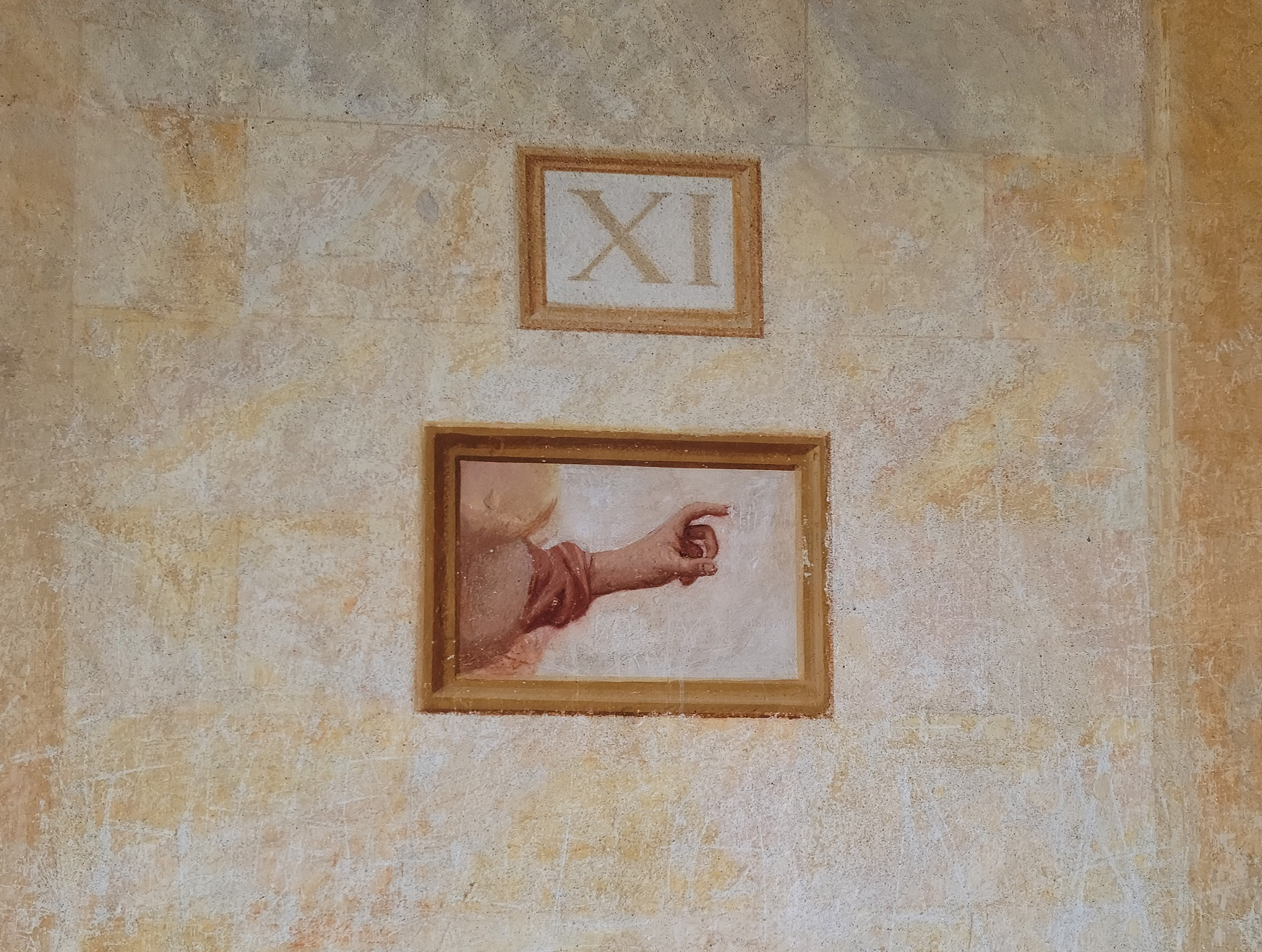
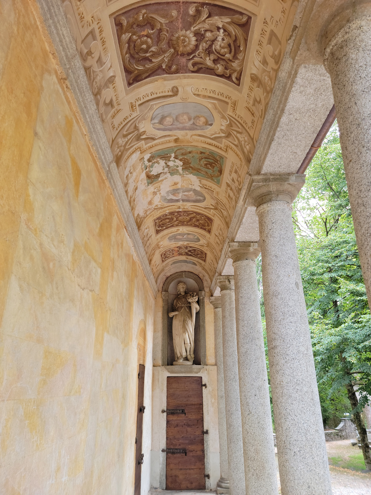
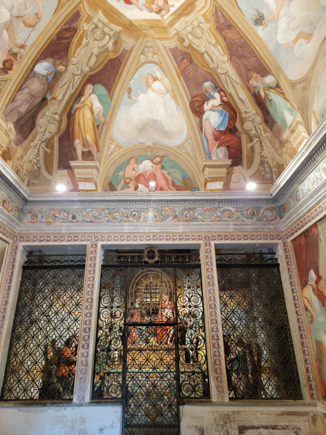
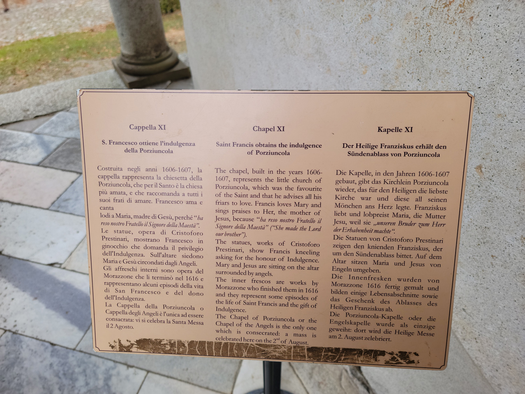
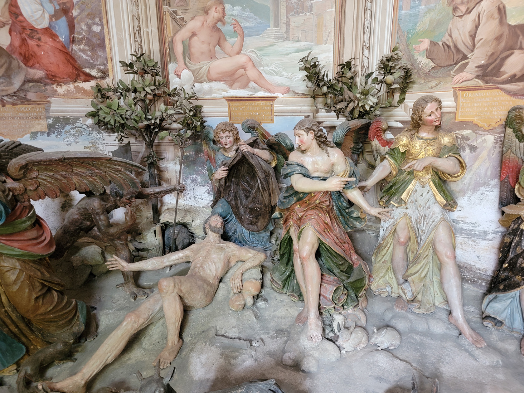
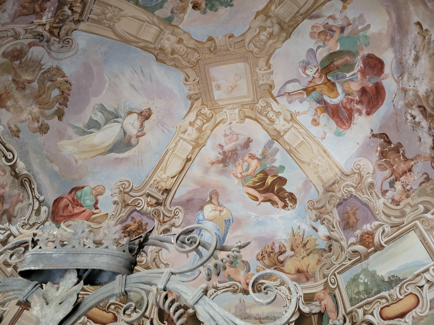
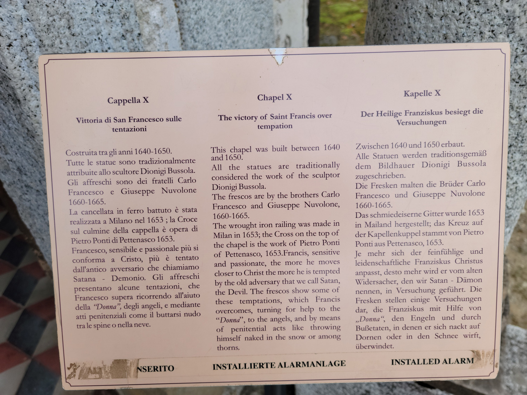
The Sacro Monte has numerous chapels which one can visit, each having its own purpose, according to Catholic religious sources. Of the twenty or so chapels and churches that comprise the site, we visited about a handful.
The Rest of Omegna
Our last couple of days in the town of Omegna were spent mostly relaxing. It rained one day, which really curtailed anything we could do, especially with respect to any hiking we had had in mind. However, we were able to venture out in the evening, after the rain had passed and enjoyed the evening mountain air.
As an afterthought we would have to say we thoroughly enjoyed our stay here; but must also honestly say, it’s not for everyone. Omegna is really laid back and probably accounts for the wild swings we saw in the number of tourists we saw day to day. The weekends are definitely busier, and all of the Italian holidays, so plan your trip accordingly. There is also a definite lack in the assortment of restaurants and we found it difficult to chose, after having been here for a week. It is also a haven for backpackers, so if you find them annoying, you might want to head elsewhere since they are pretty much everywhere enjoying the fine hiking that is available in the area.
Restaurants
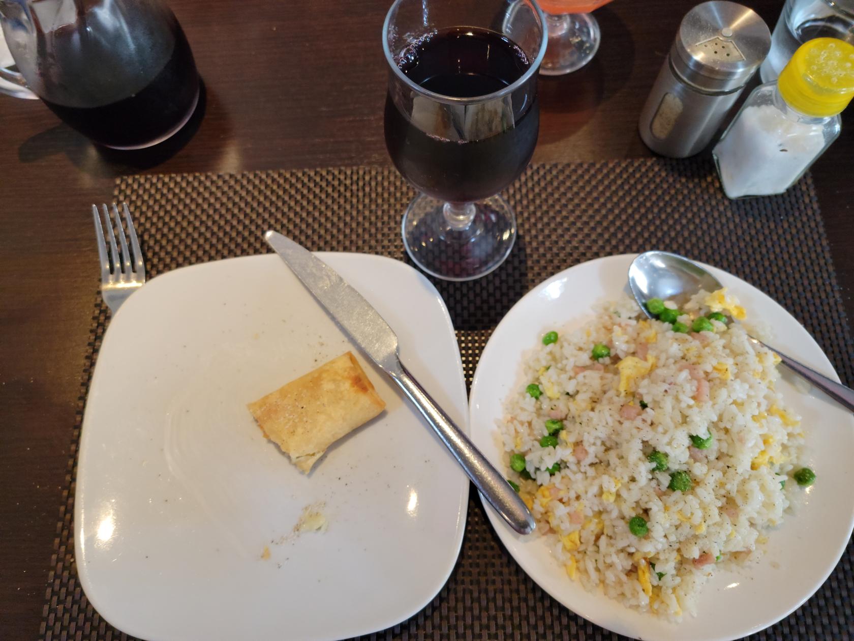
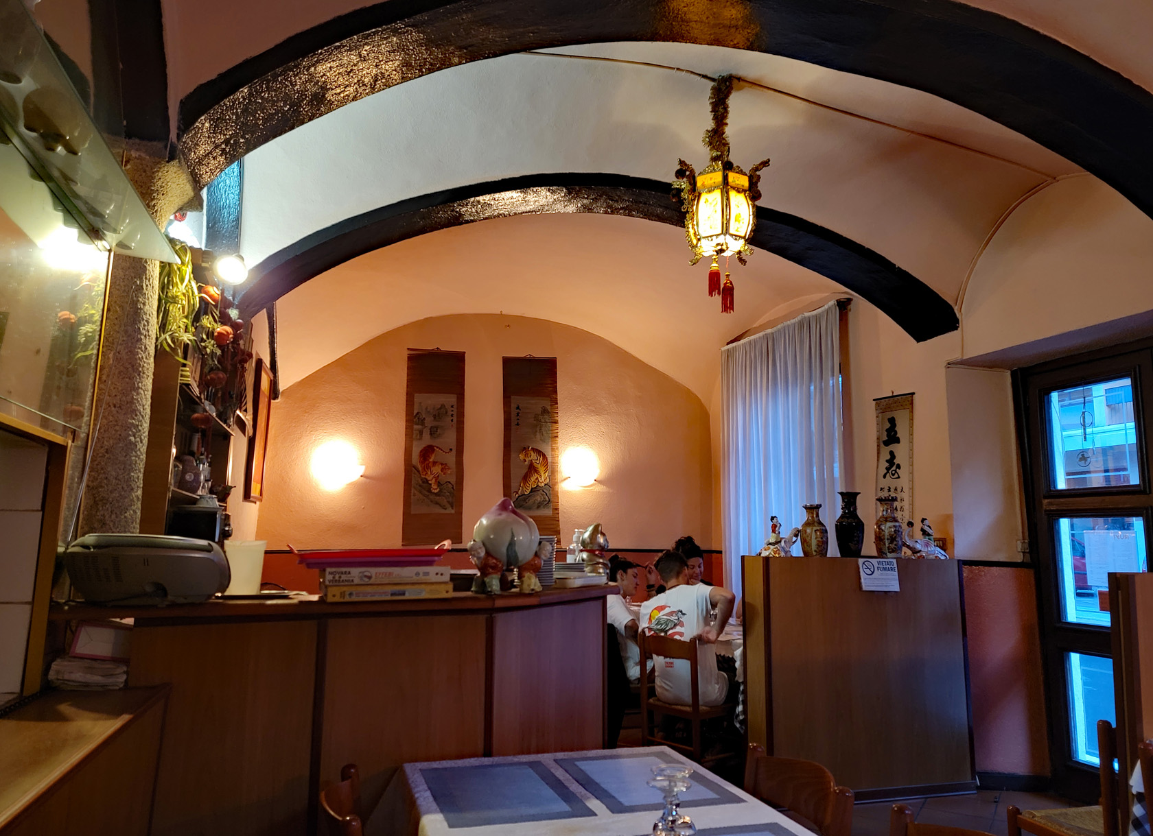
Rosticceria Ruyi
The Chinese restaurant, Rosticceria Ruyi on via Giuseppe Mazzini, essentially saved us from culinary hell. After a week of Caprese, Pizza and Pasta, a well cook meal of rice and vegetables was sorely needed and this restaurant has the food at excellent prices (e.g. a dish of Cantonese Rice – 3€). However, be aware at the time of this writing, they open at 18:00 for take-away but were not serving sit down inside the restaurant until 20:15, or 8:15PM in the evening. So plan accordingly!
References
| ↑1 | It is actually called the Servizio di trasporto pubblico locale or Servizio Traghetti Orta |
|---|---|
| ↑2 | I swiftly submitted an update on the missing road, as soon as I was able |
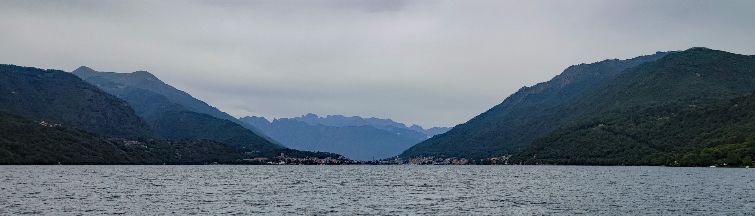
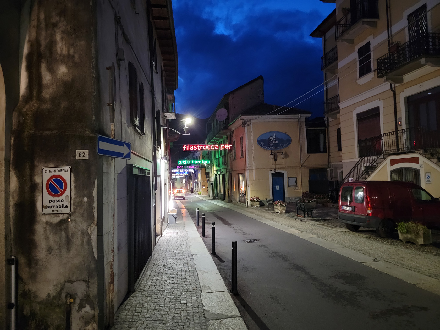
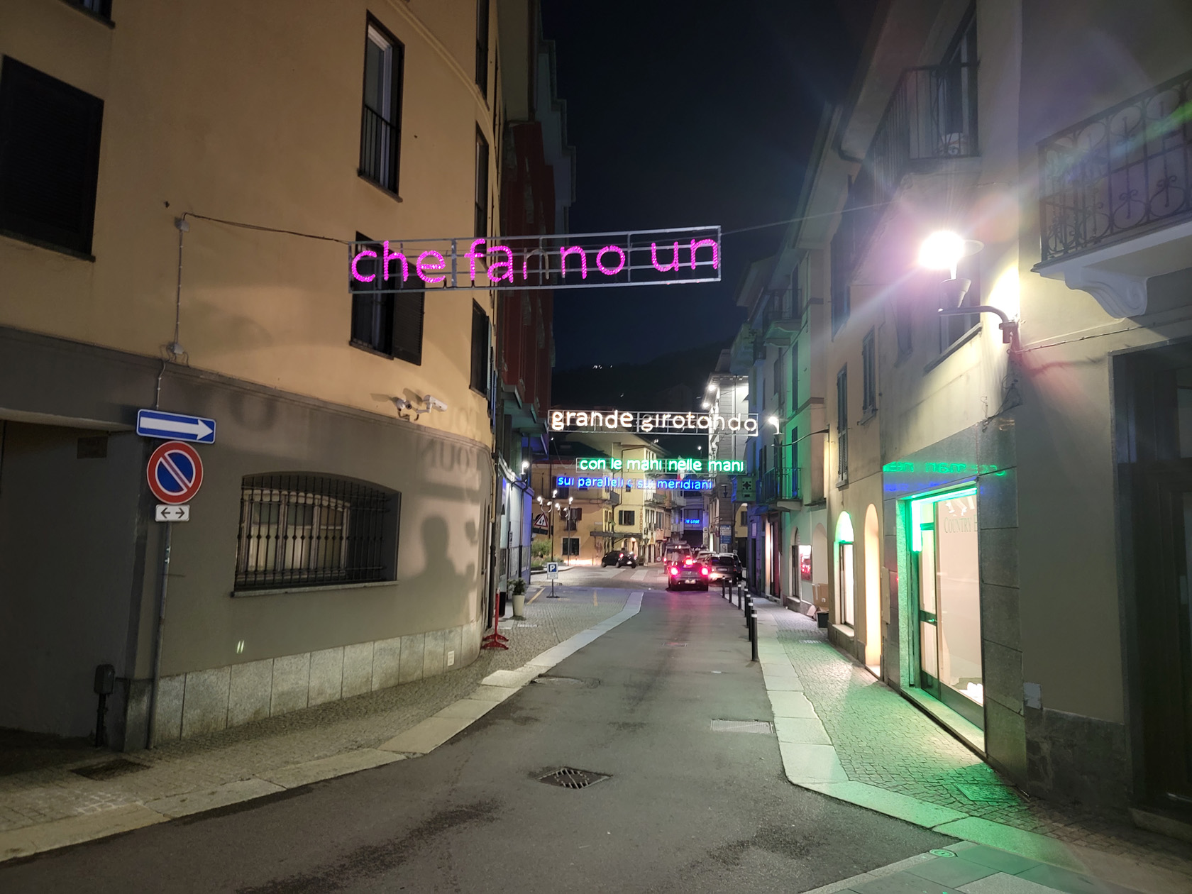
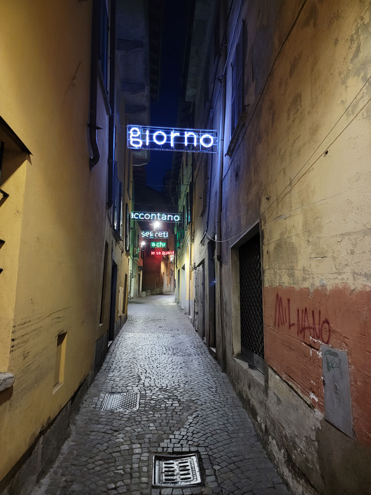
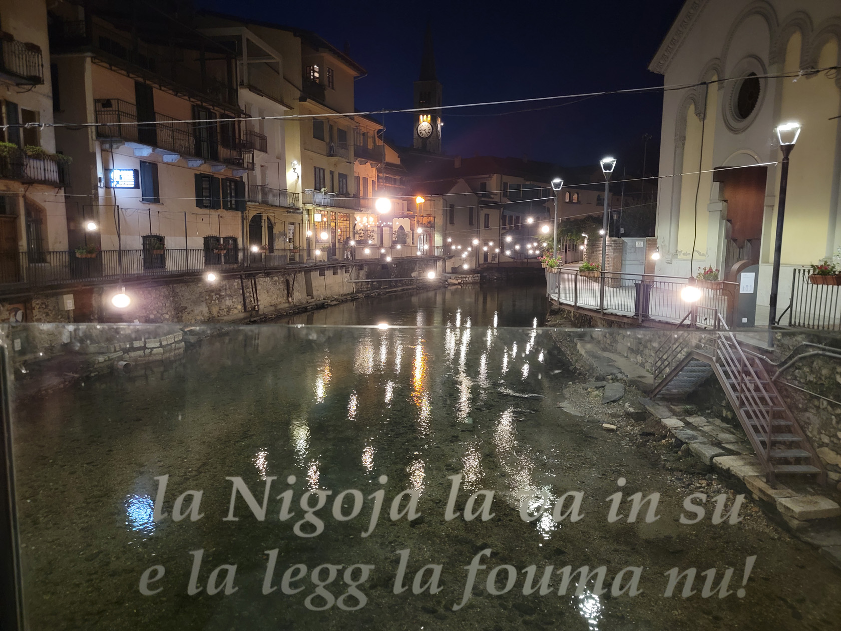
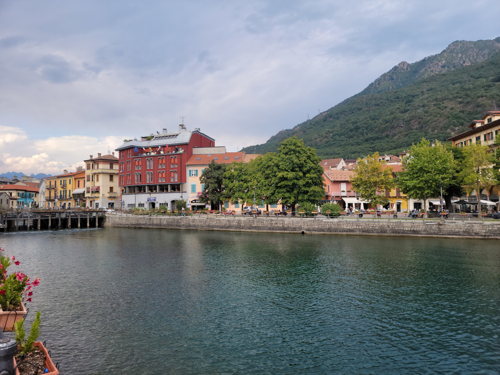
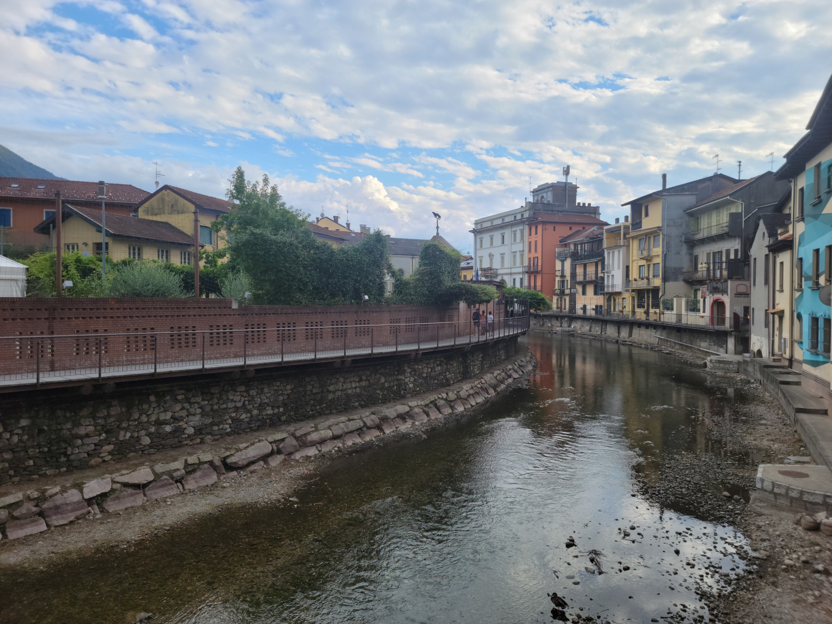
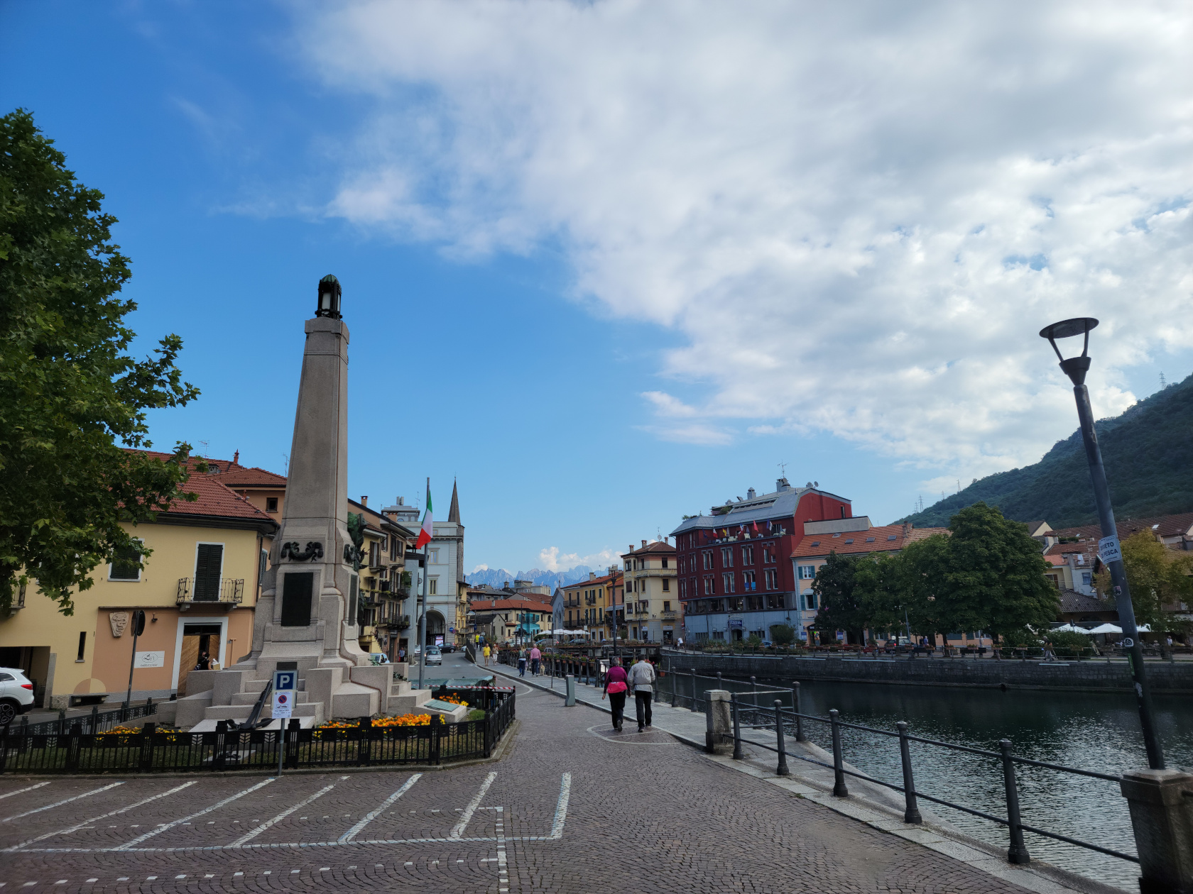
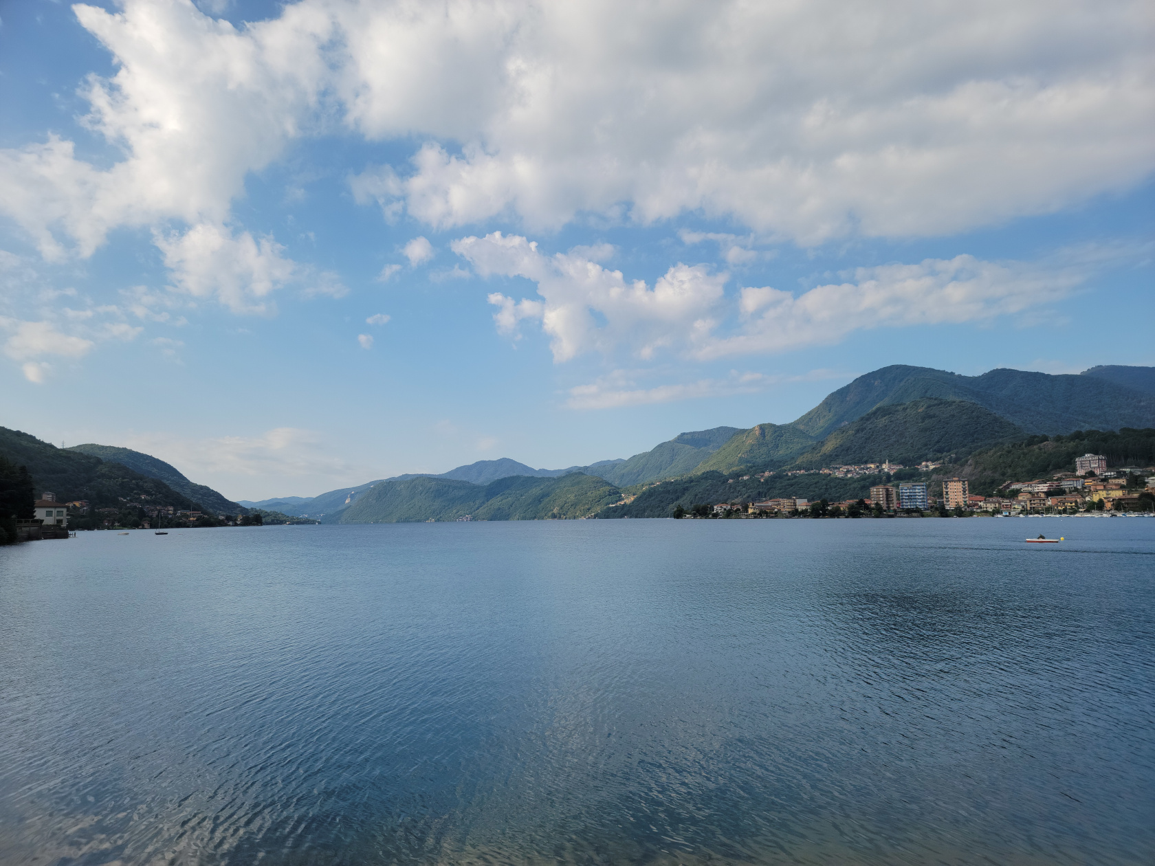
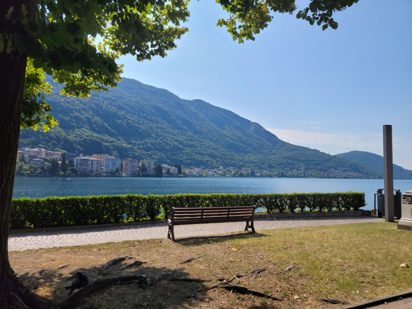
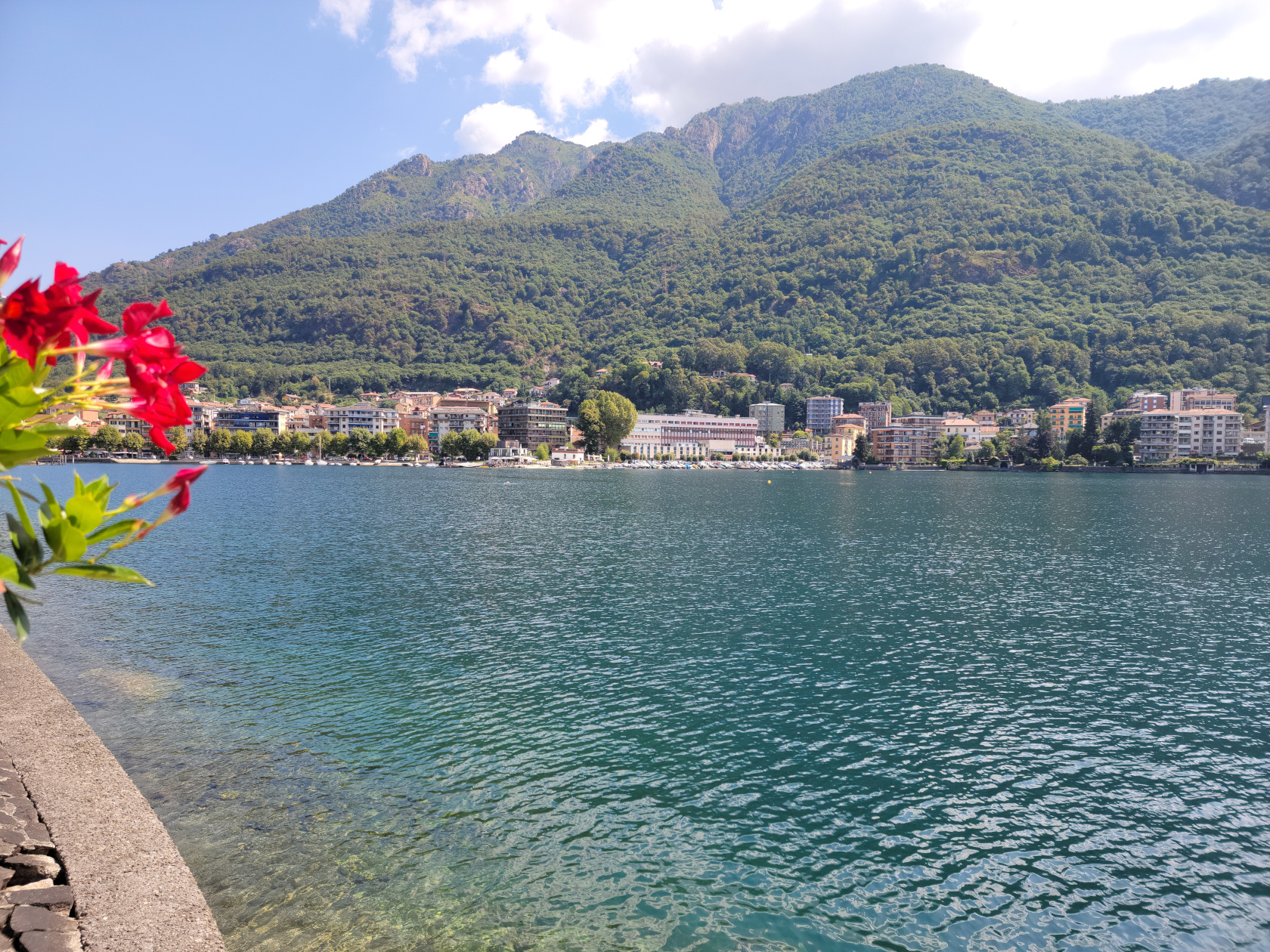
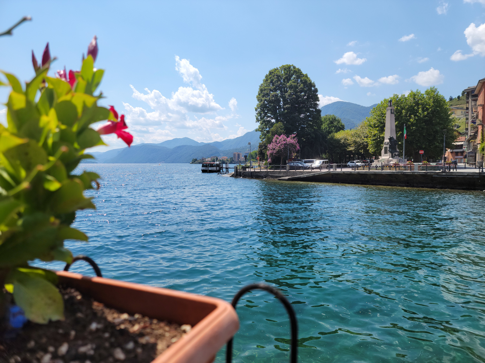
Omegna, Italy – Lazy Italian Refuge
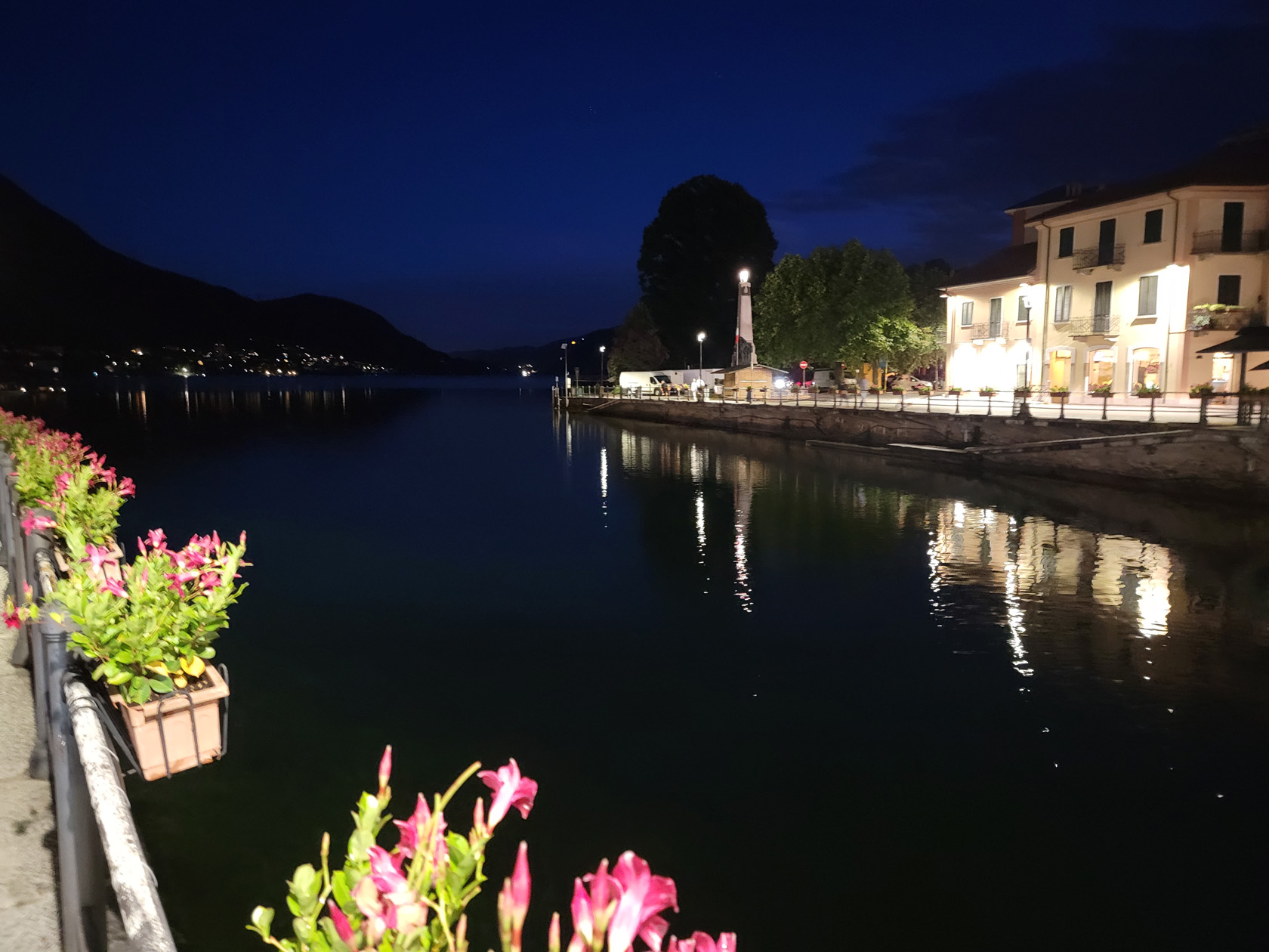
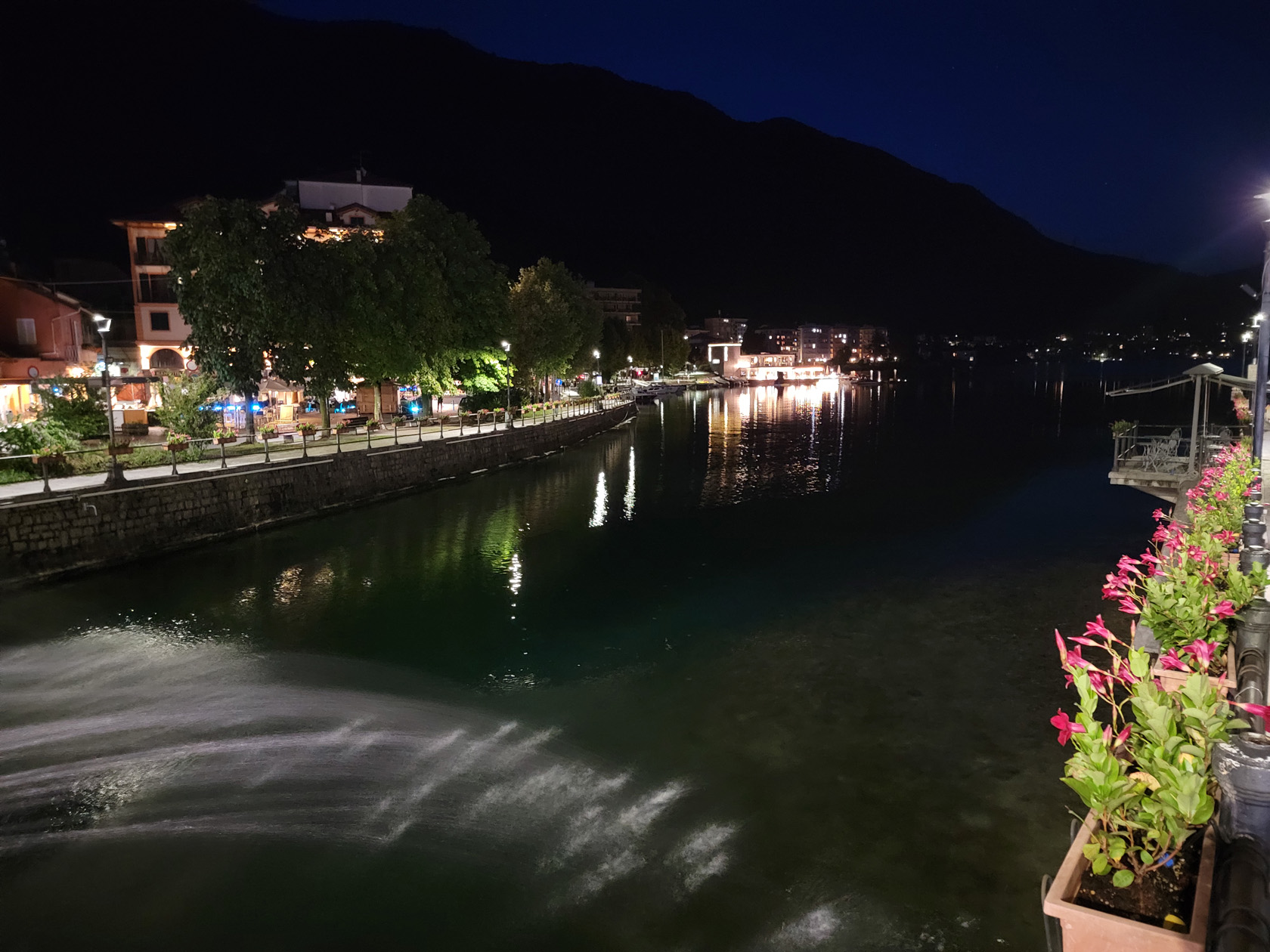
Hidden quietly in the north of Italy is the small lake of Orta and the lazy town of Omegna. After two trains and a bus ride, we finally arrived at our new short trip destination. We checked into our three star hotel, the Croce Bianci, perhaps the best centrally located one in the town.
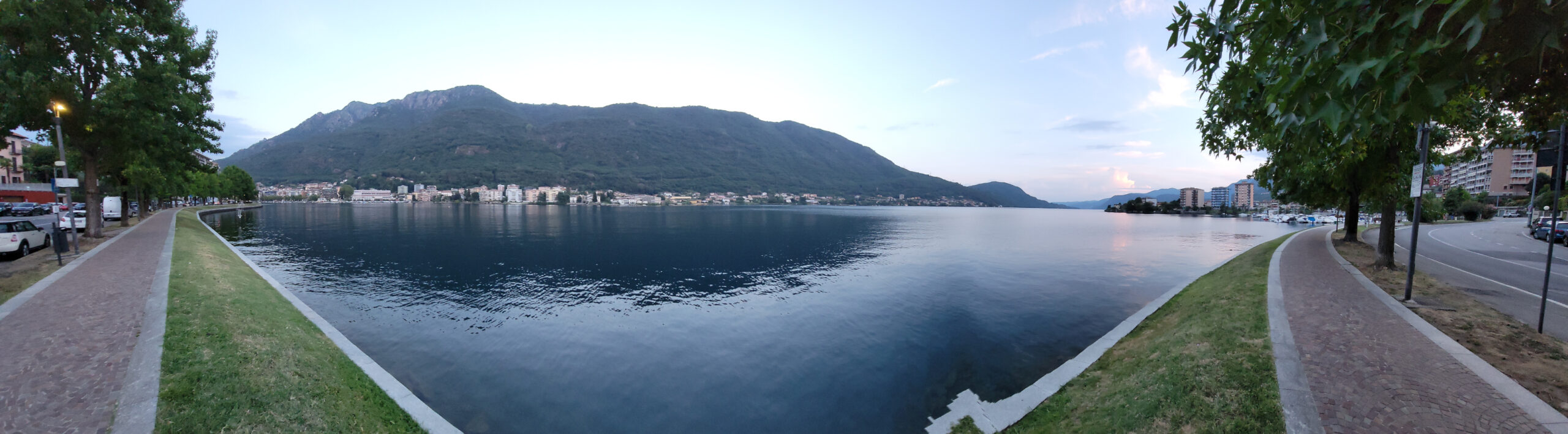
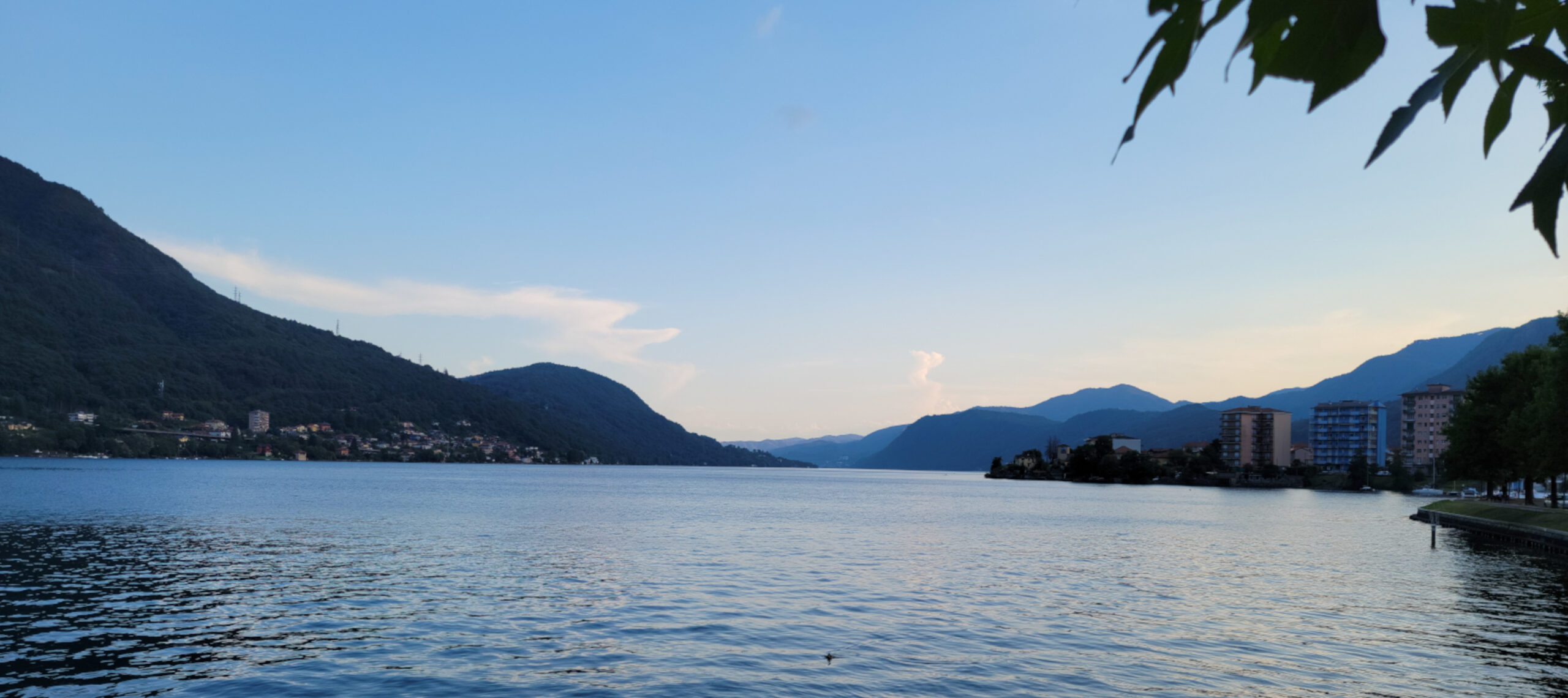
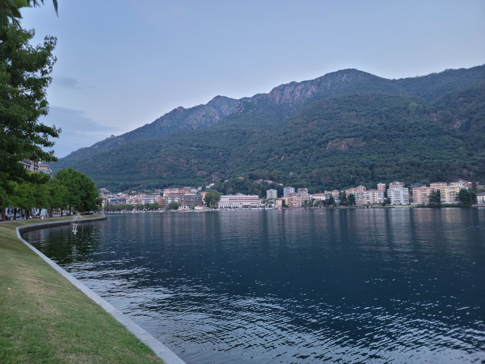
Because of its small size and lack of glamour, Lake Orta is often overlooked by most overseas travelers, who are more interested in the high impact tourist destinations to check off their bucket lists. It is visited mostly by Italians from Milan, some of whom own weekend homes here, the French, Germans and the occasional Brit. Since there is really not much to see and do on this side of the lake, a short slideshow is perhaps more in order.
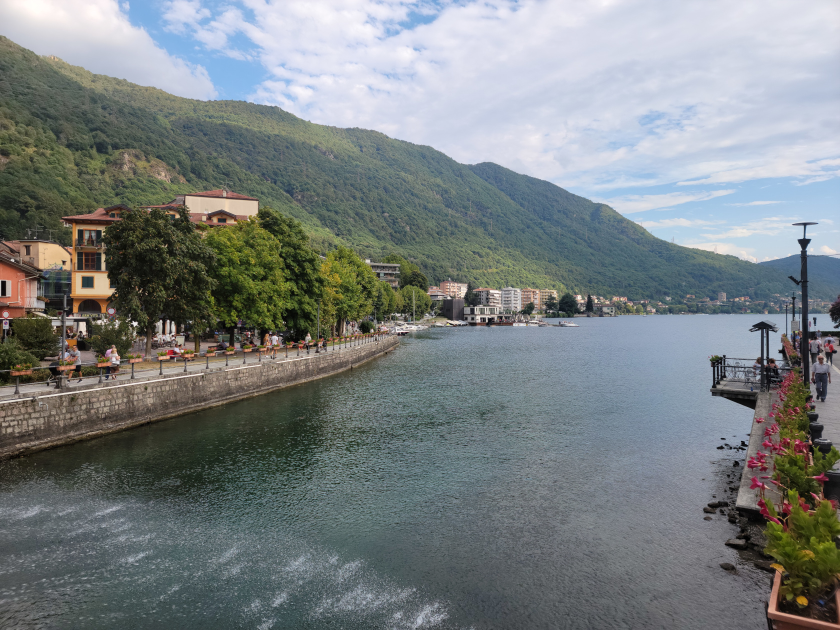
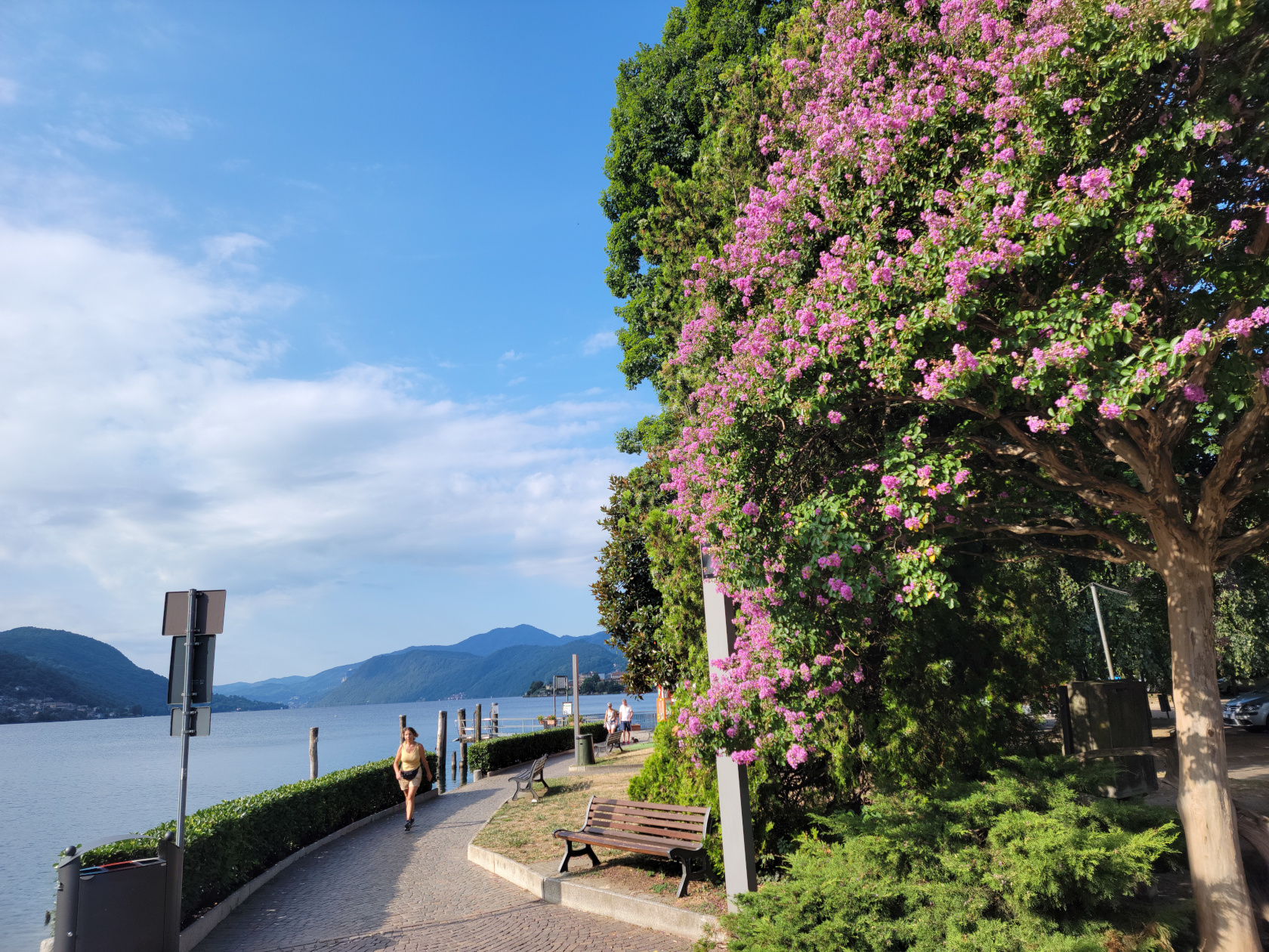
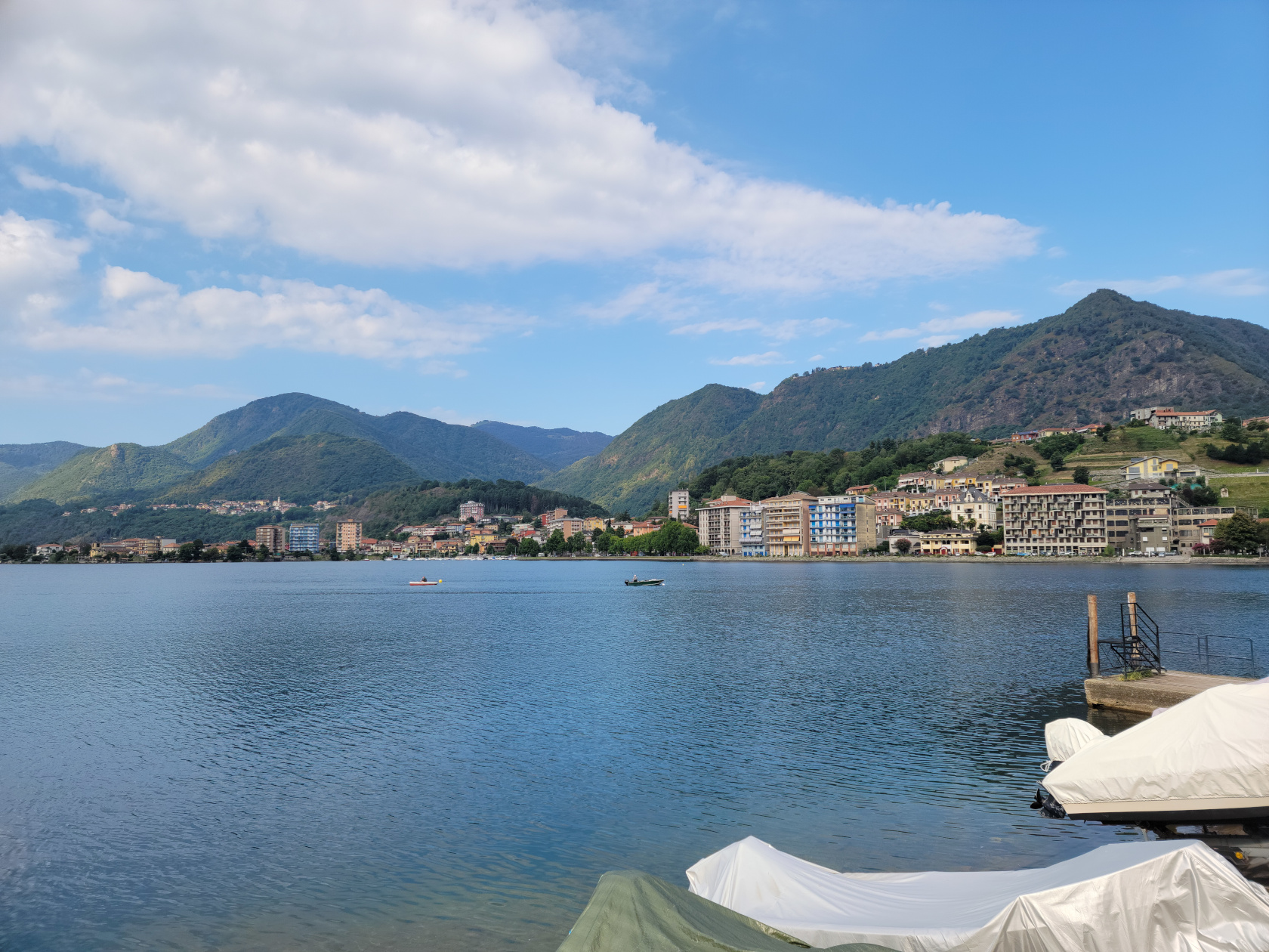
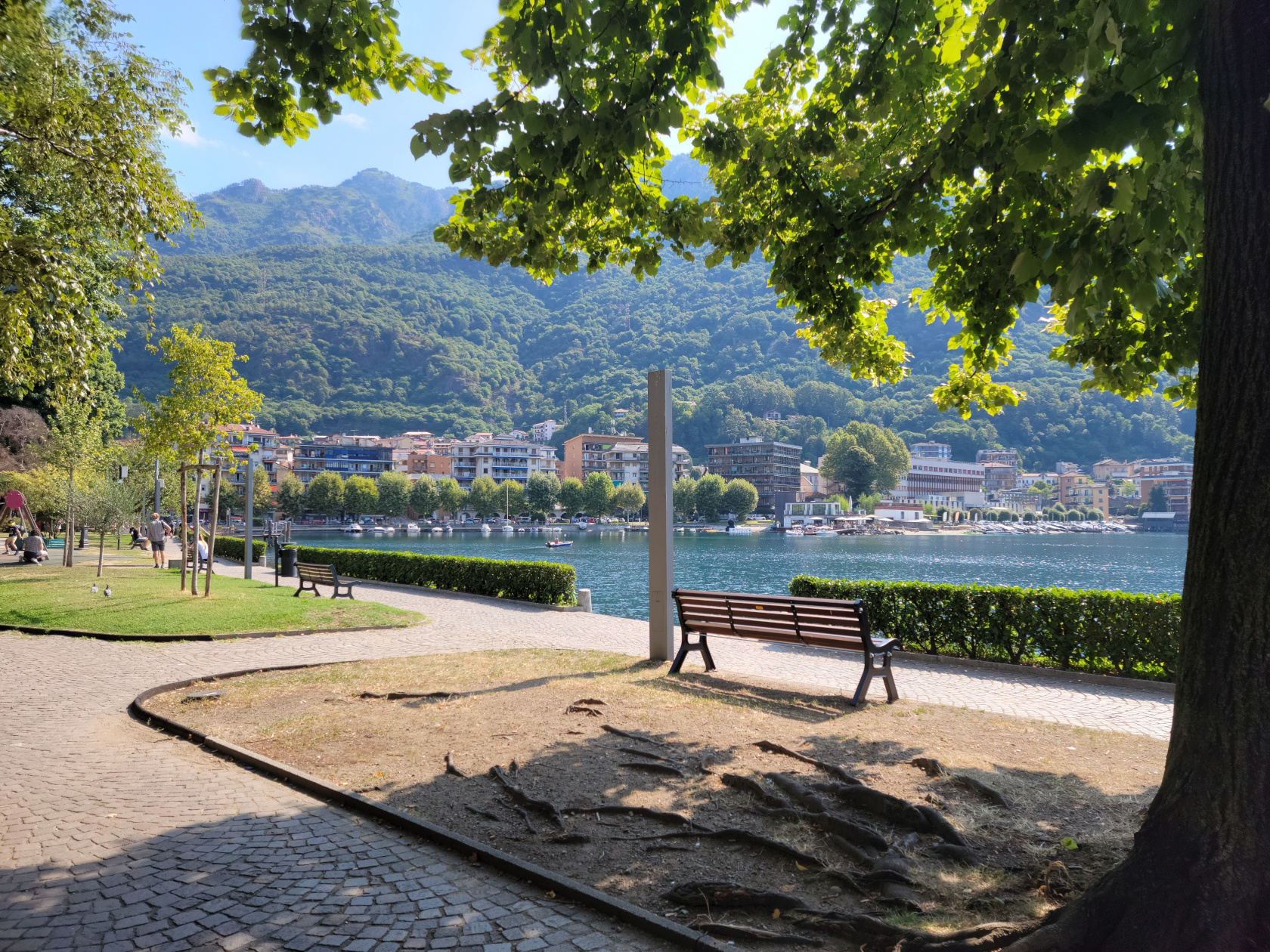

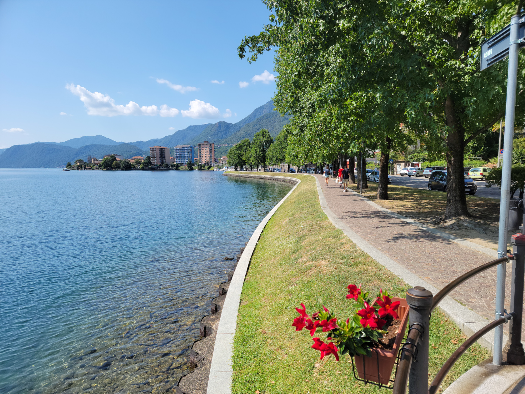
We made plans to visit Omegna just to relax and actually do nothing more than just check the lake out. This is definitely a good place to accomplish nothing. However, there are plenty of activities available, from camping, boating, cycling, swimming, hiking and the odd trek to a neighboring town, if one is so inclined. The area is definitely family friendly, even the town has a large and very well equipped playground for them.
The remainder of our trip will visit other parts of the lake and be continued in another entry, so stay tuned. Ciao for now…
Restaurants
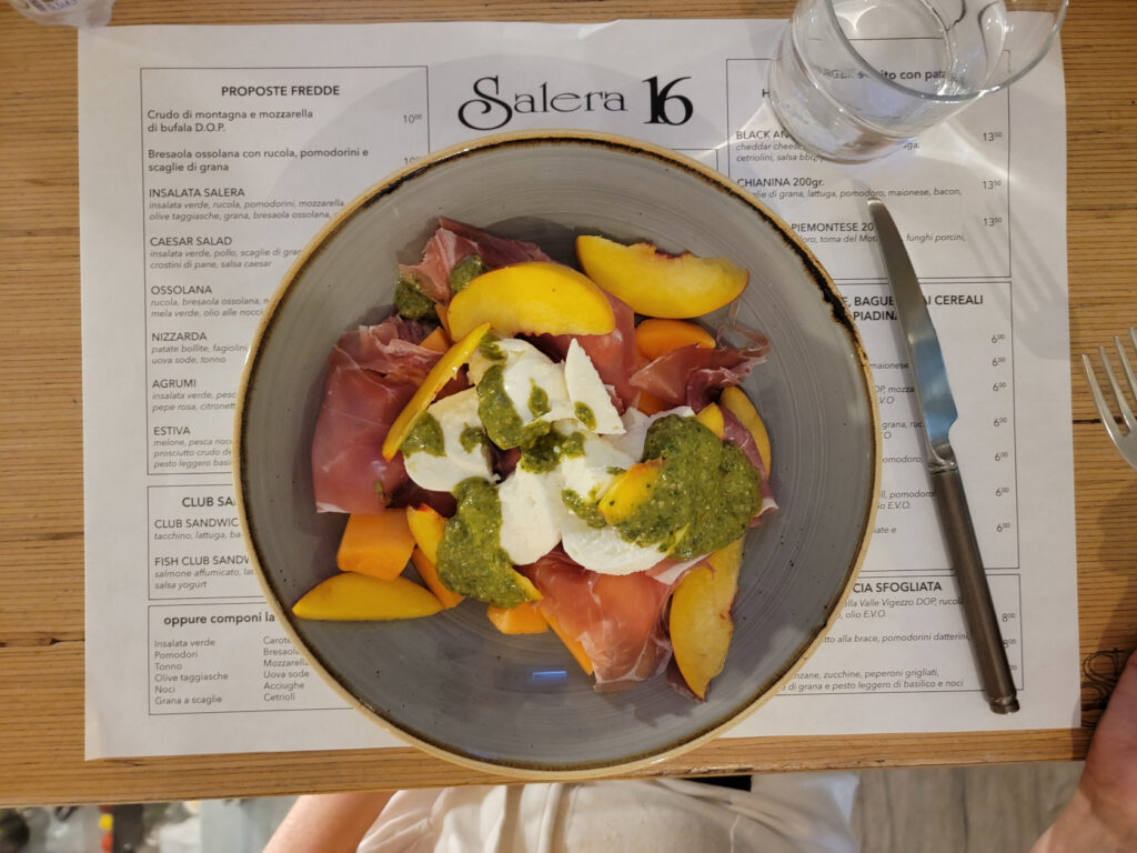
Salera 16
A more hip and trendy place is the Salera 16, which caters to the younger crowd with burgers, fries and other handheld items. A good place to stop for something quick.
Al Centrale Bistrot
This little bistrot has excellent food at great prices, though the menu is limited and changes daily. If you are not fussy and adaptable you definitely find a tasty treat here. Their wines by the glass are very good.
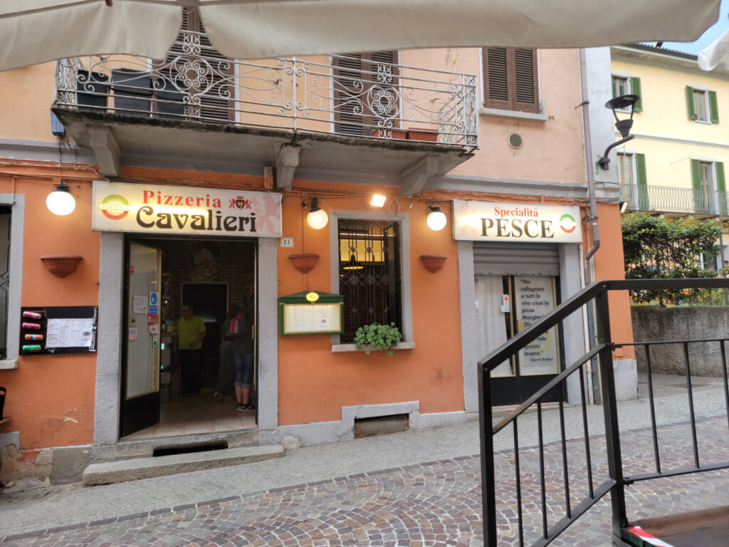
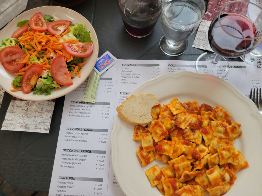
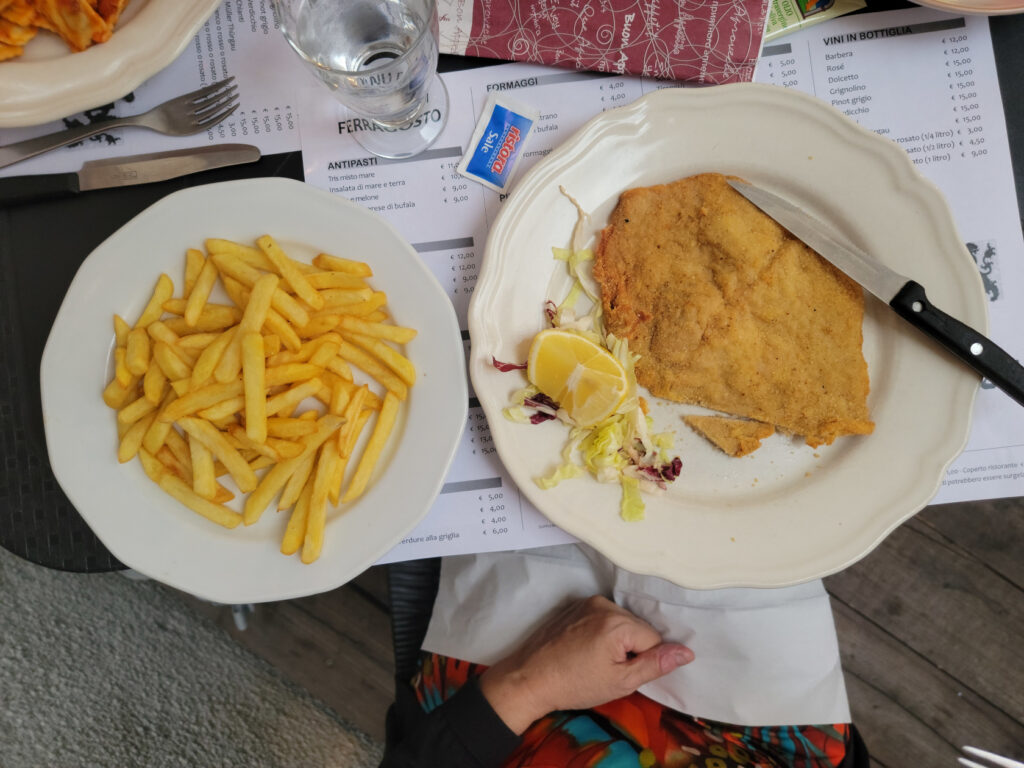
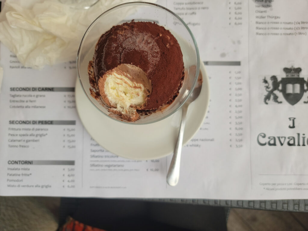
Ristorante Il Cavalieri
The first restaurant we visited when we arrived, it offers traditional Italian fare and pizza. It behaves more like a trattoria and gets a lot of local traffic. So an excellent place for reasonably priced authentic Italian food. I found the Vino Sfuso, or bulk house wine, a bit of a disappointment, but it is still drinkable and reasonably priced.
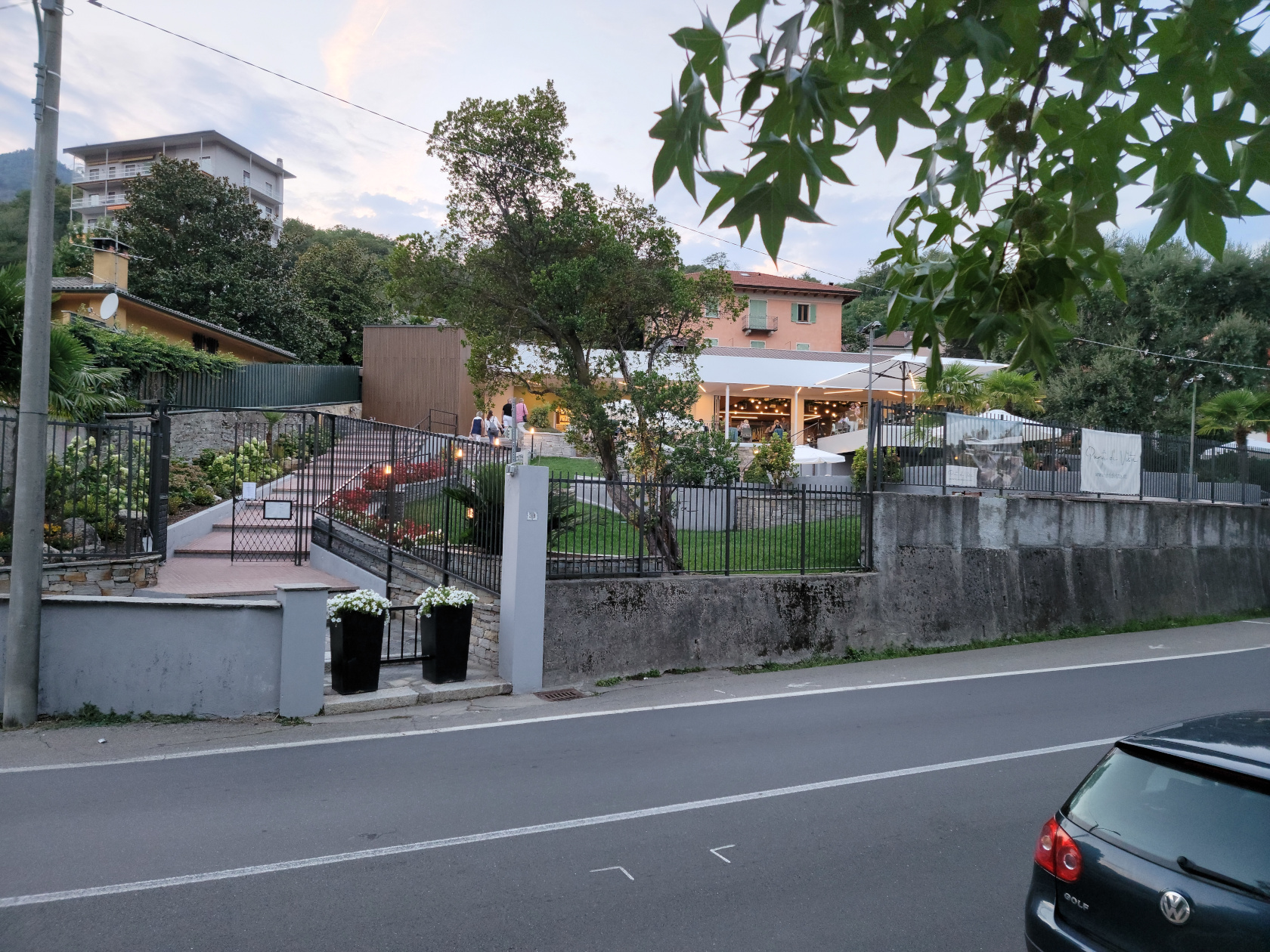
Ristorante Punti D’Vista
A ten minute walk along the Lungolago Gramsci of Omegna on the west bank will bring you to this hotel and restaurant. Set slightly uphill from the road it has a commanding view of the lake and plenty of outside seating. Reservations are recommended though, as the patio seating fills up quite fast.
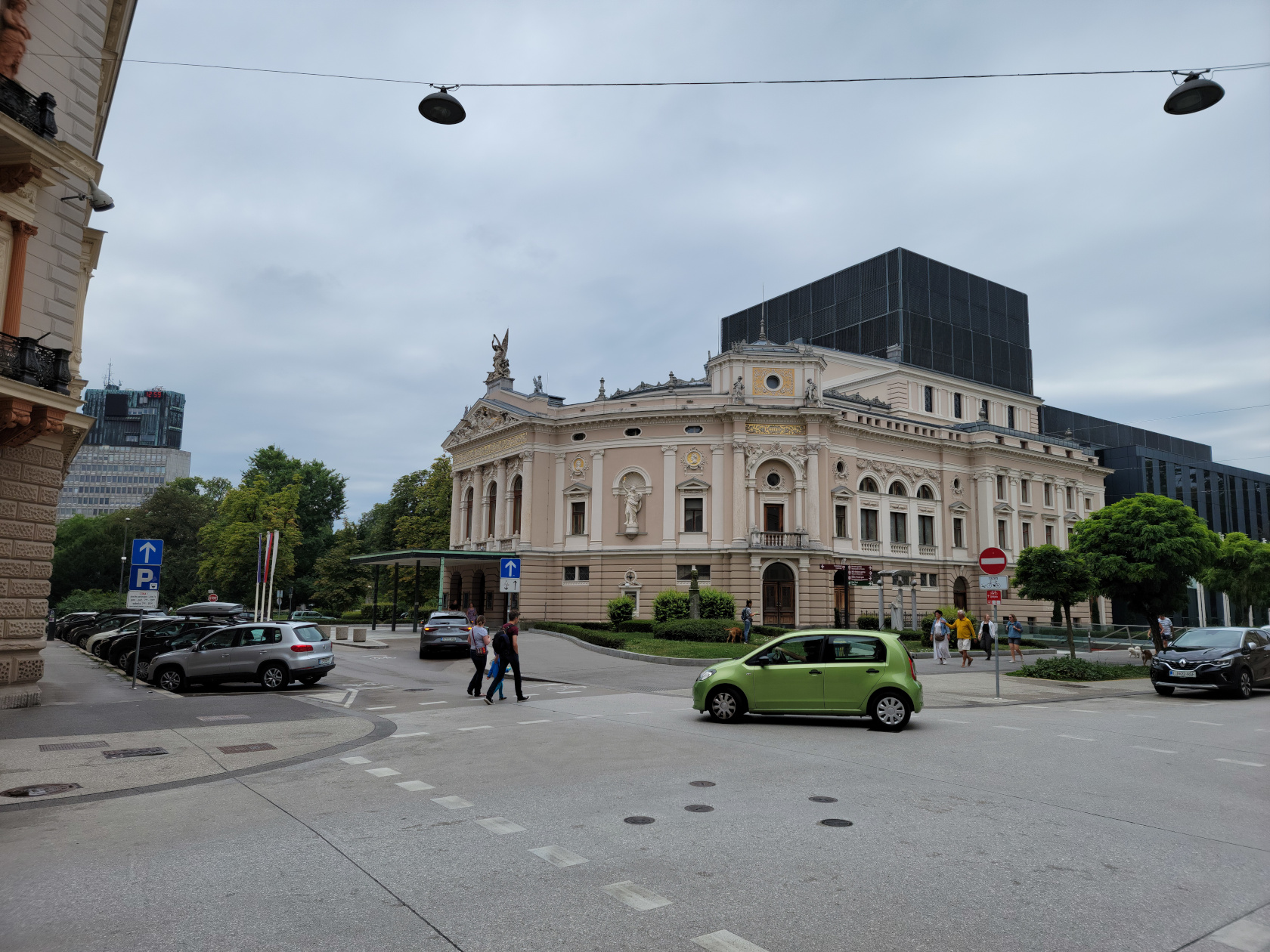
Ljubljana, Slovenia – A Last Take
Ljubljana – Still Remains
We had little slated for our last full day in Ljubljana, but we did want to see the cathedral and Tivoli Park, both of which we had missed in our former romps around town. I guess that is all that remains of our stay here, which we thoroughly and unexpectedly enjoyed.
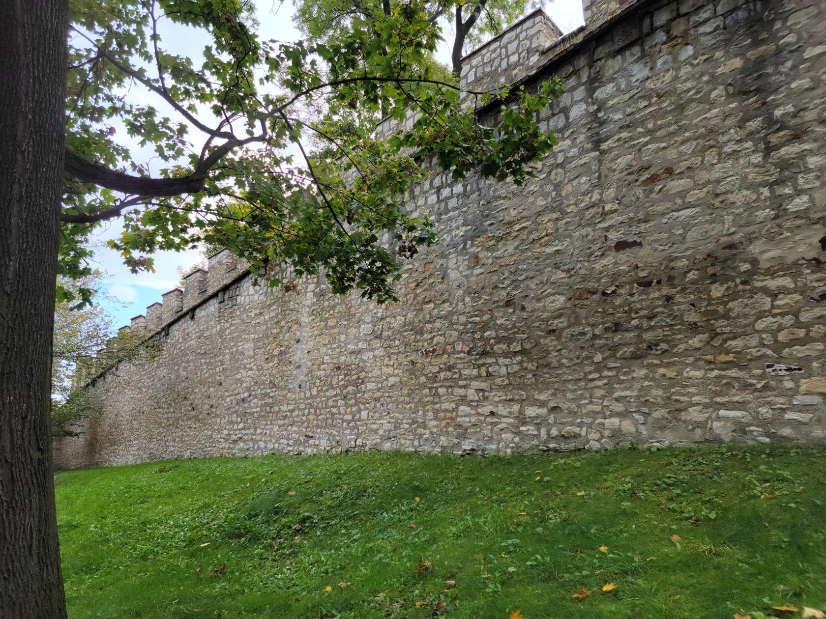
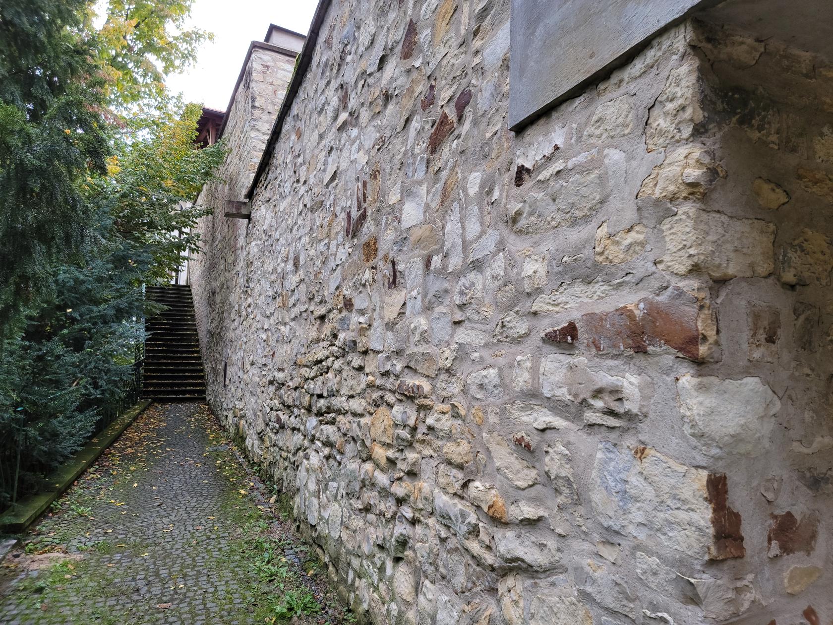
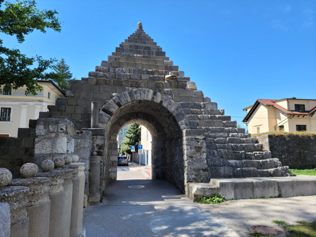
The Roman Wall
Back in Roman times the settlement which became this city was called Emona. In order to protect Emona, the Romans built a wall around it, like most other Roman towns of that era.
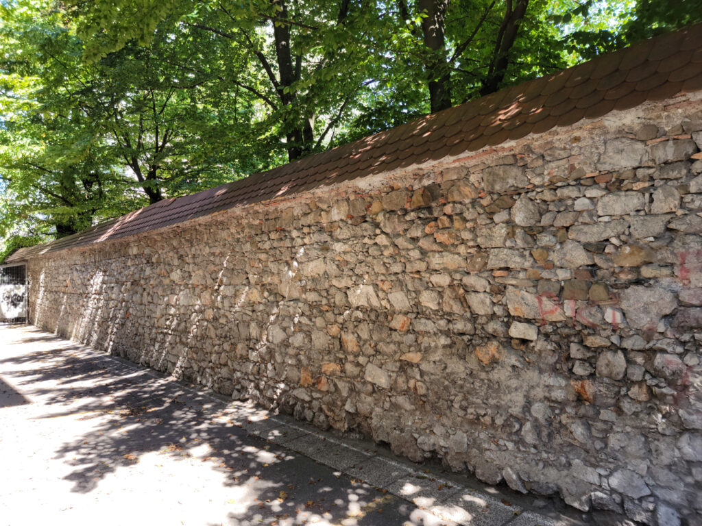
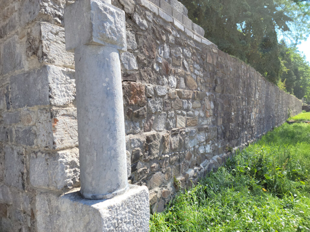
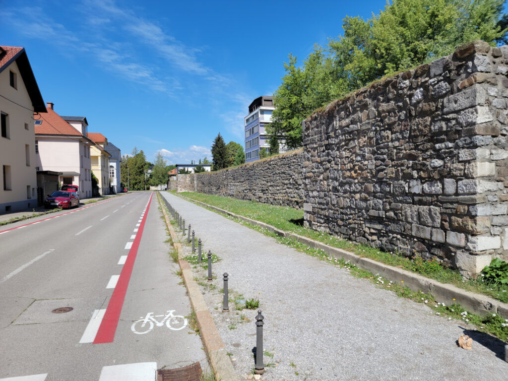
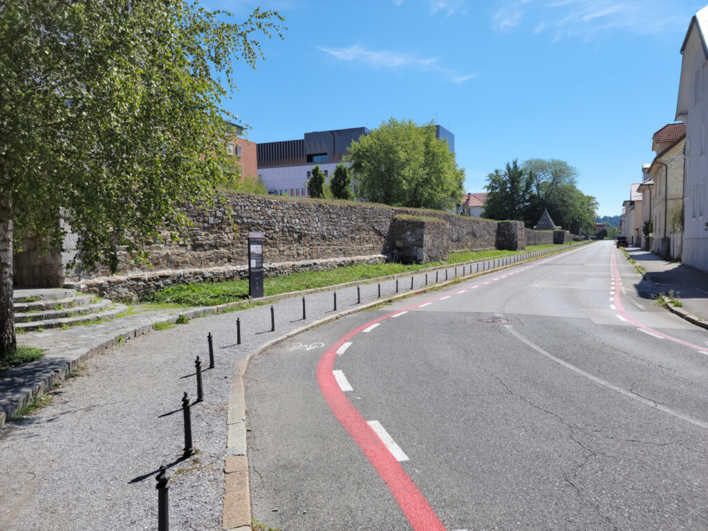
This wall was reconstructed in the early nineteenth century, along with a pyramidal feature for one of its gates.

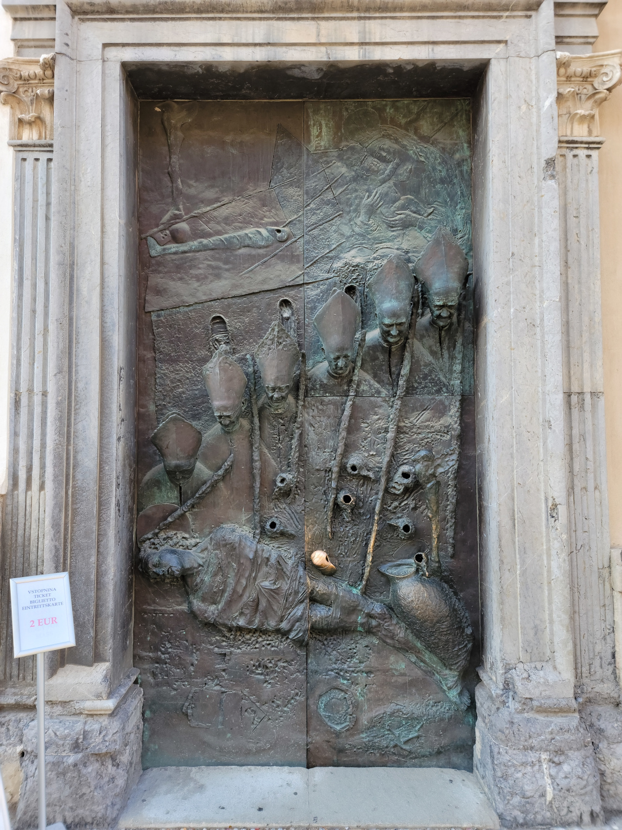
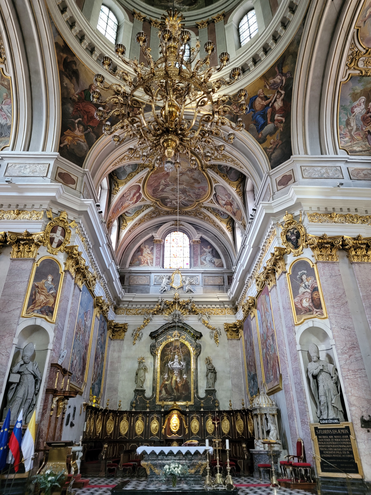
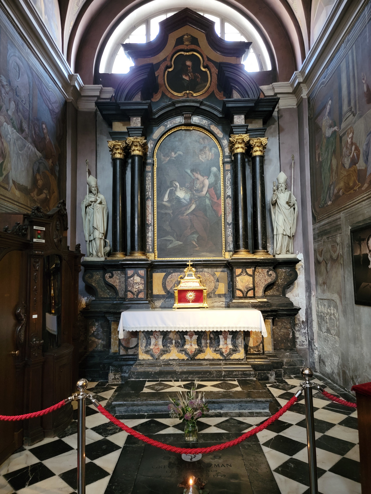
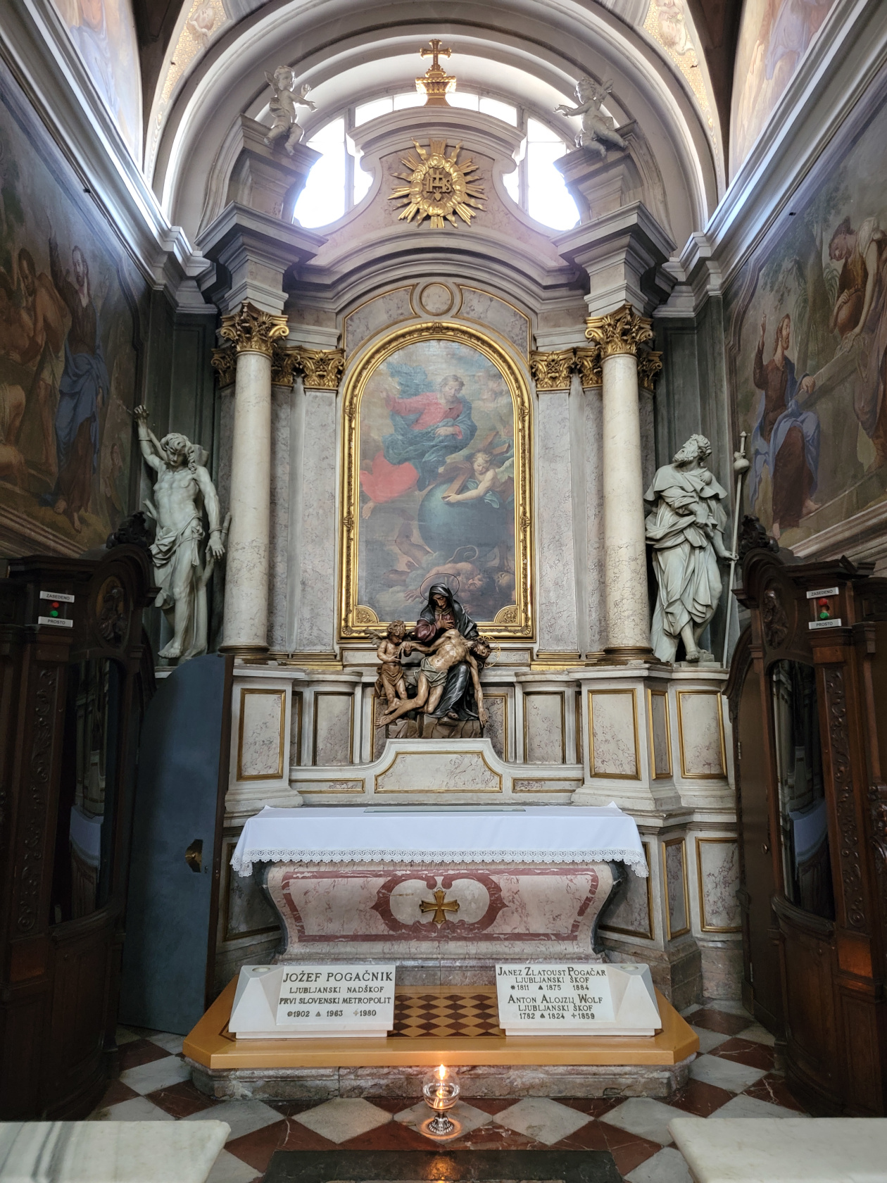
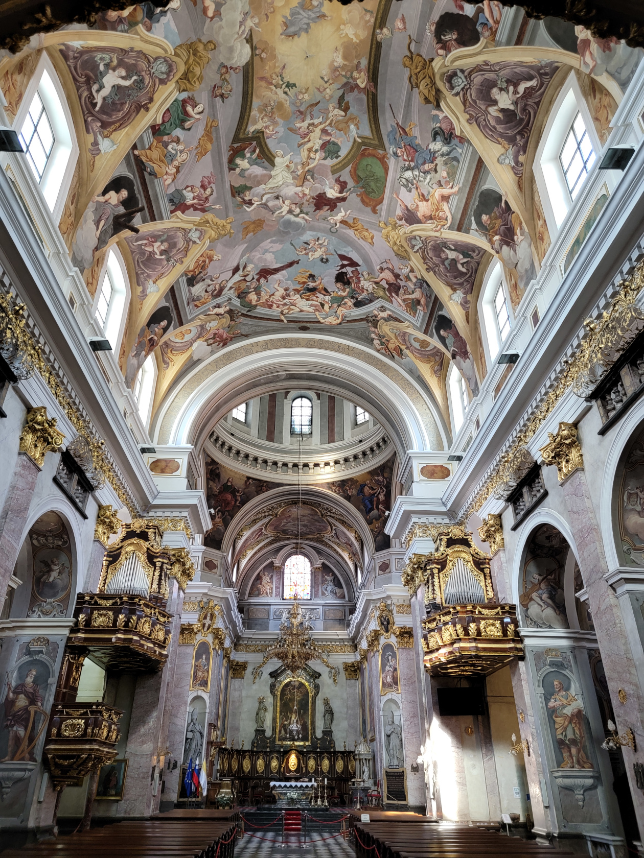
The Ljubljana Cathedral
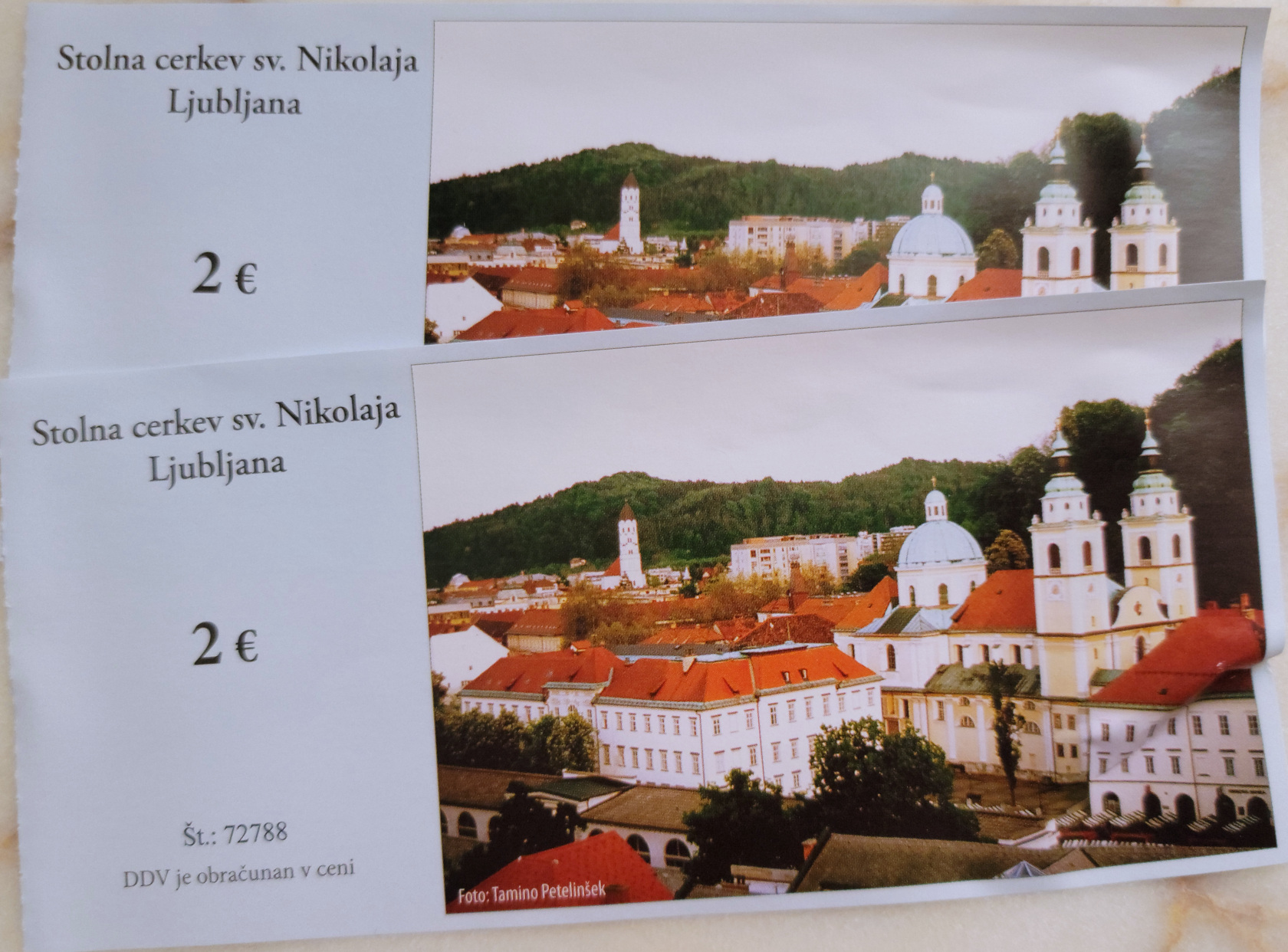
The Ljubljana Cathedral is not always open to the public, so you have to check the side door for the times. There is a 2€ fee per person to see the cathedral, so be prepared pay, if you want a peek.
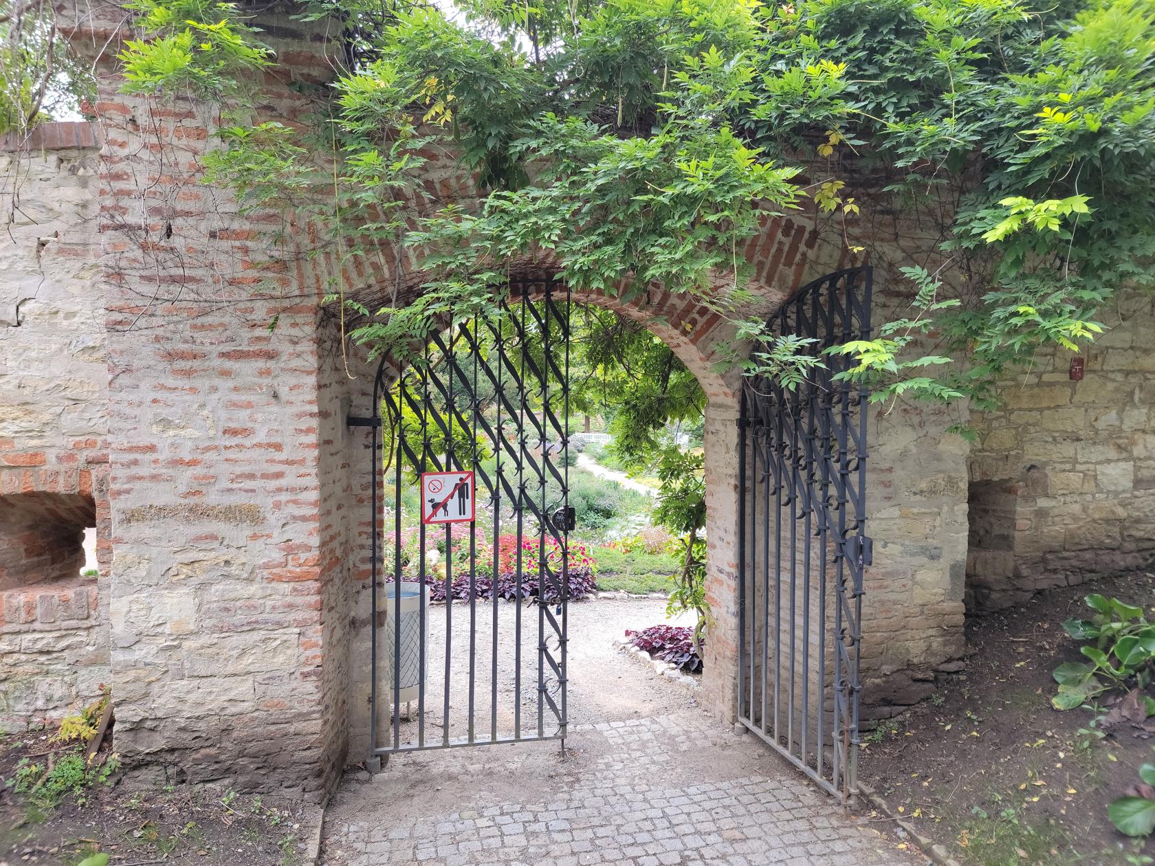
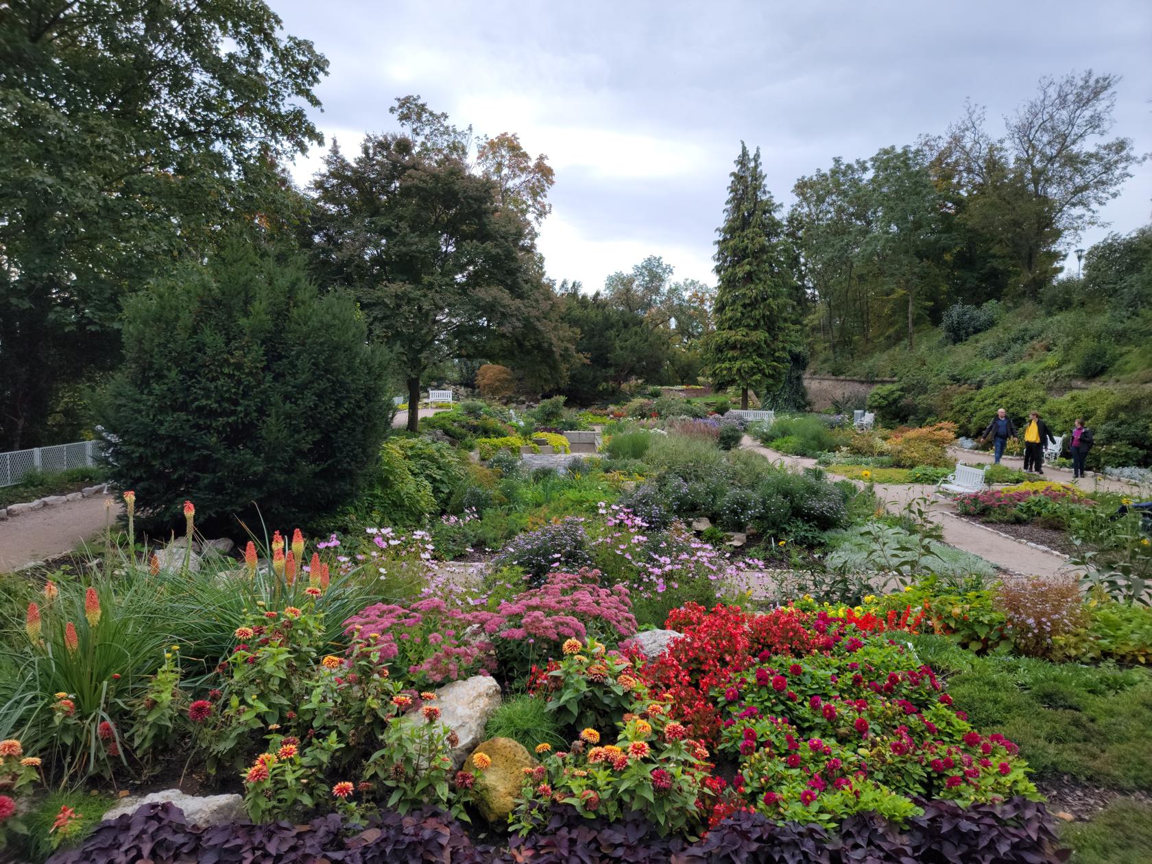
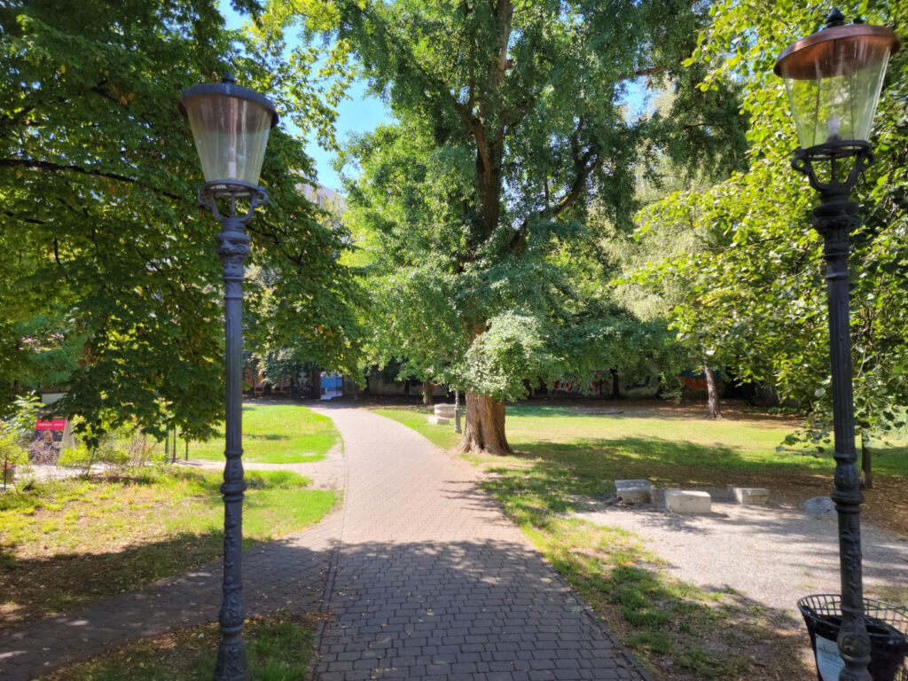
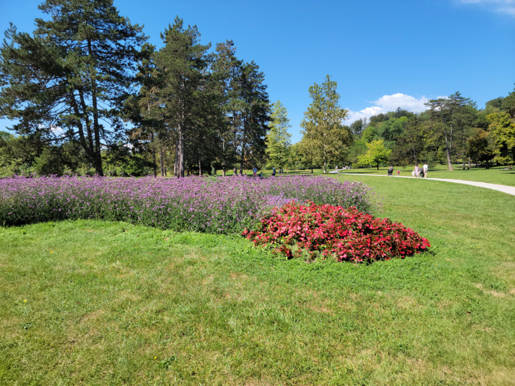
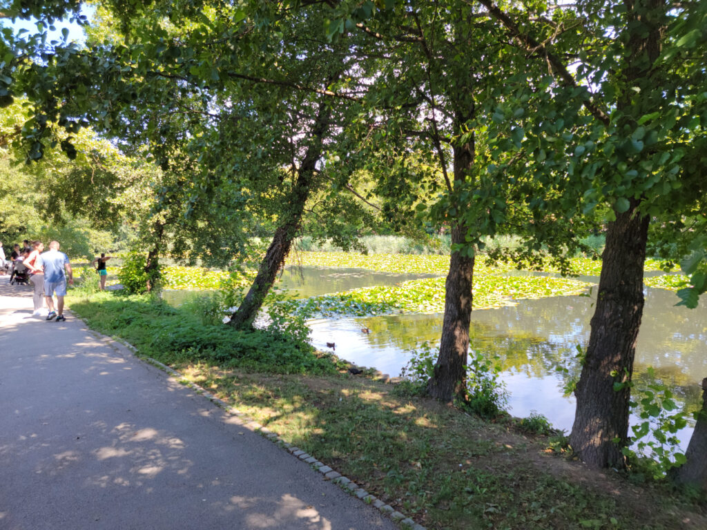
Tivoli Park
Tivoli Park, also known as Tivoli City Park, is pretty large and covers a huge hill that is some four hundred meters in height, so be prepared for some serious walking. For the less ambitious, you may walk around its edges and have just as much fun, without getting tired or sweaty.
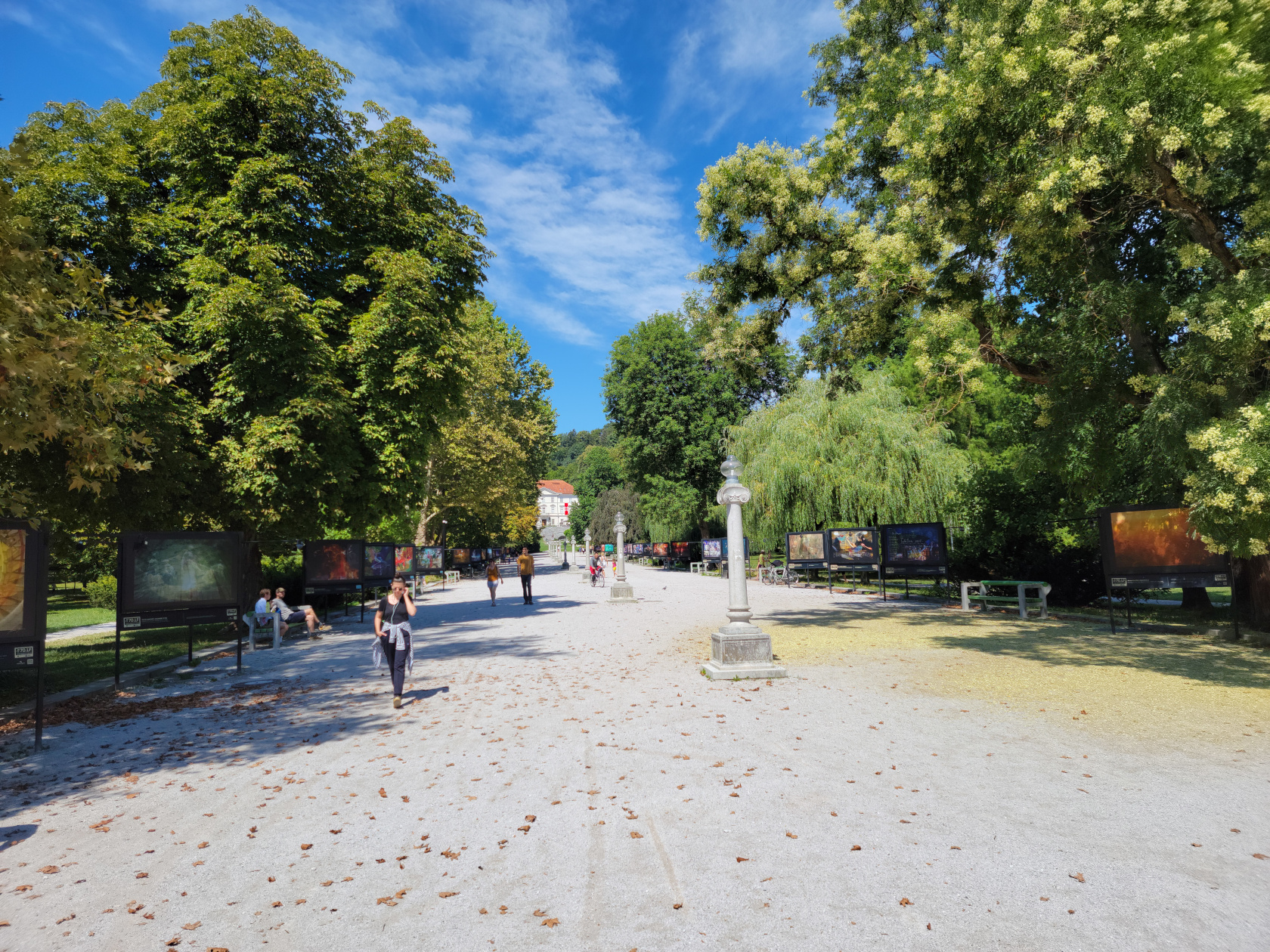
We went on a Sunday, so it was pretty busy with native Ljubljanians and Sloveniens enjoying the cafes and park facilities.
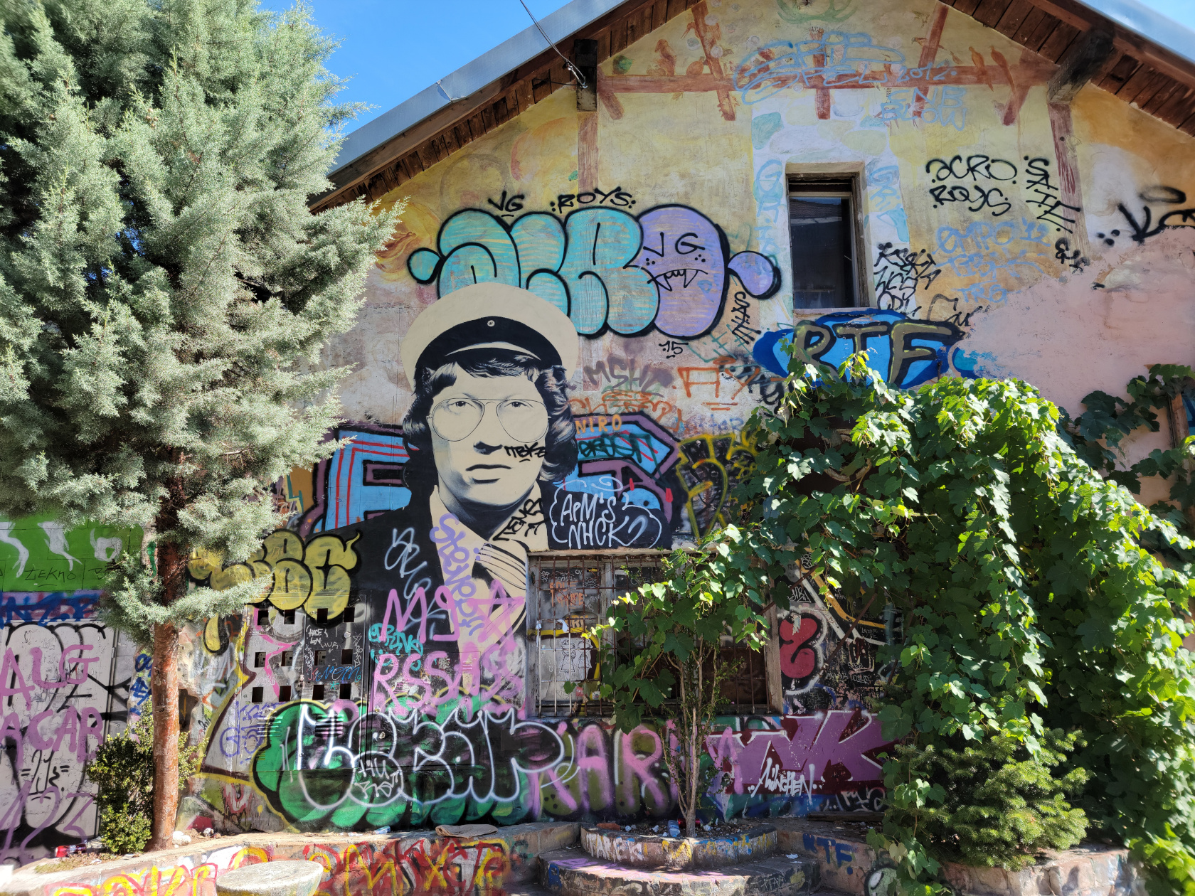
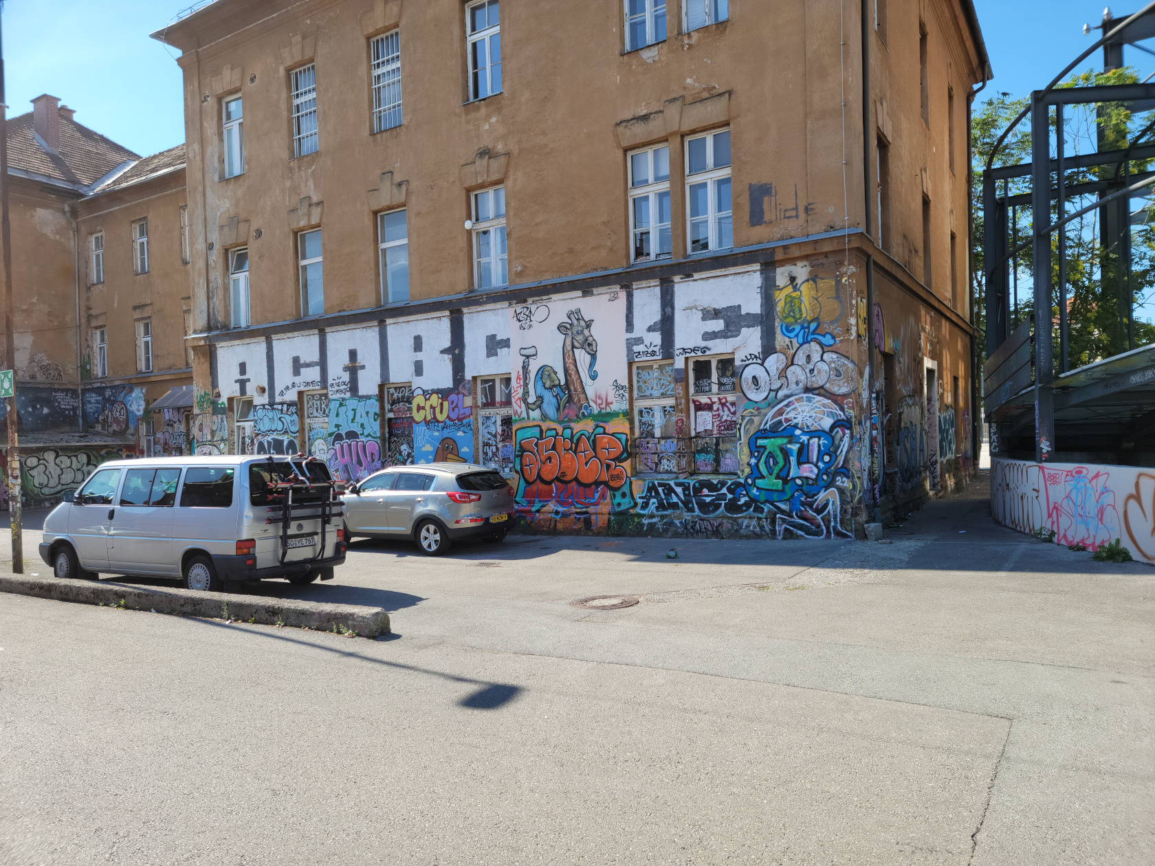
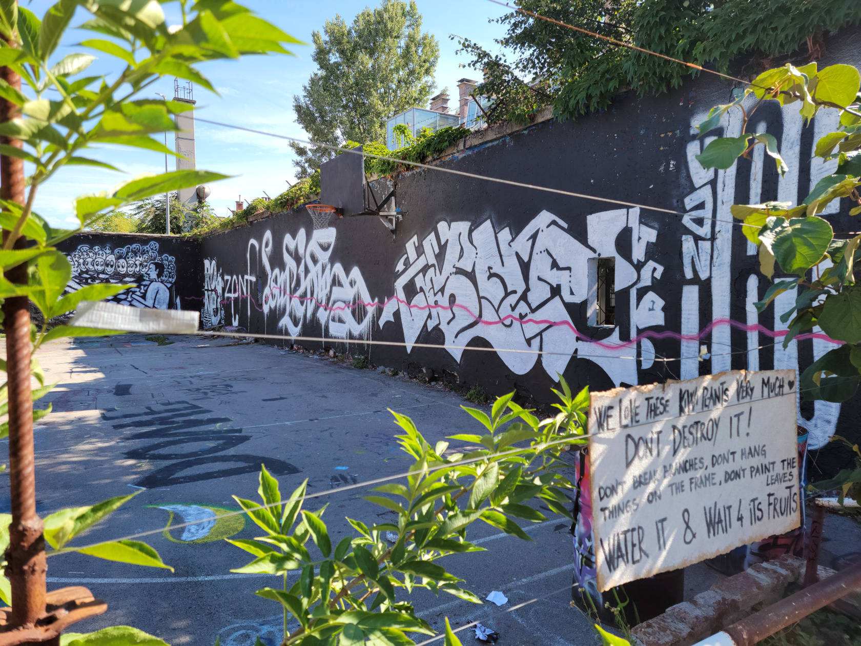
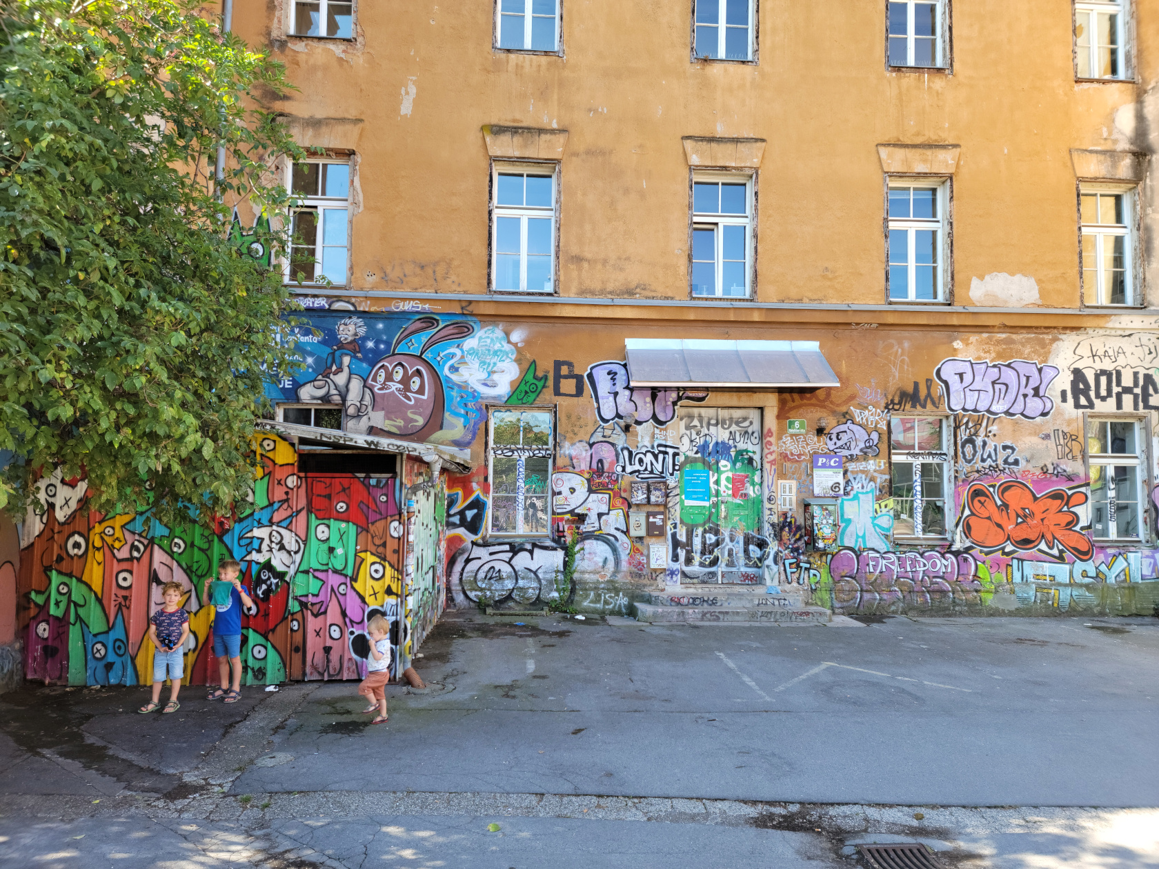
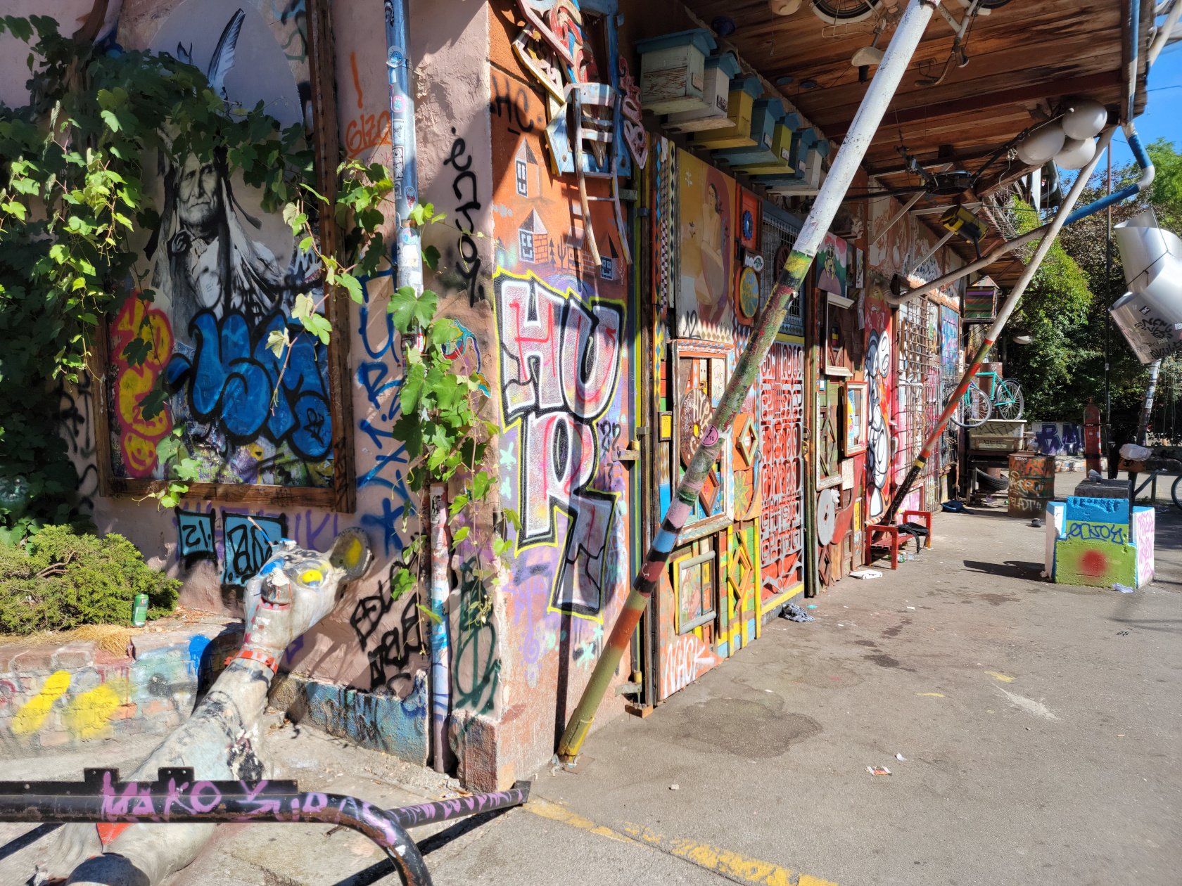
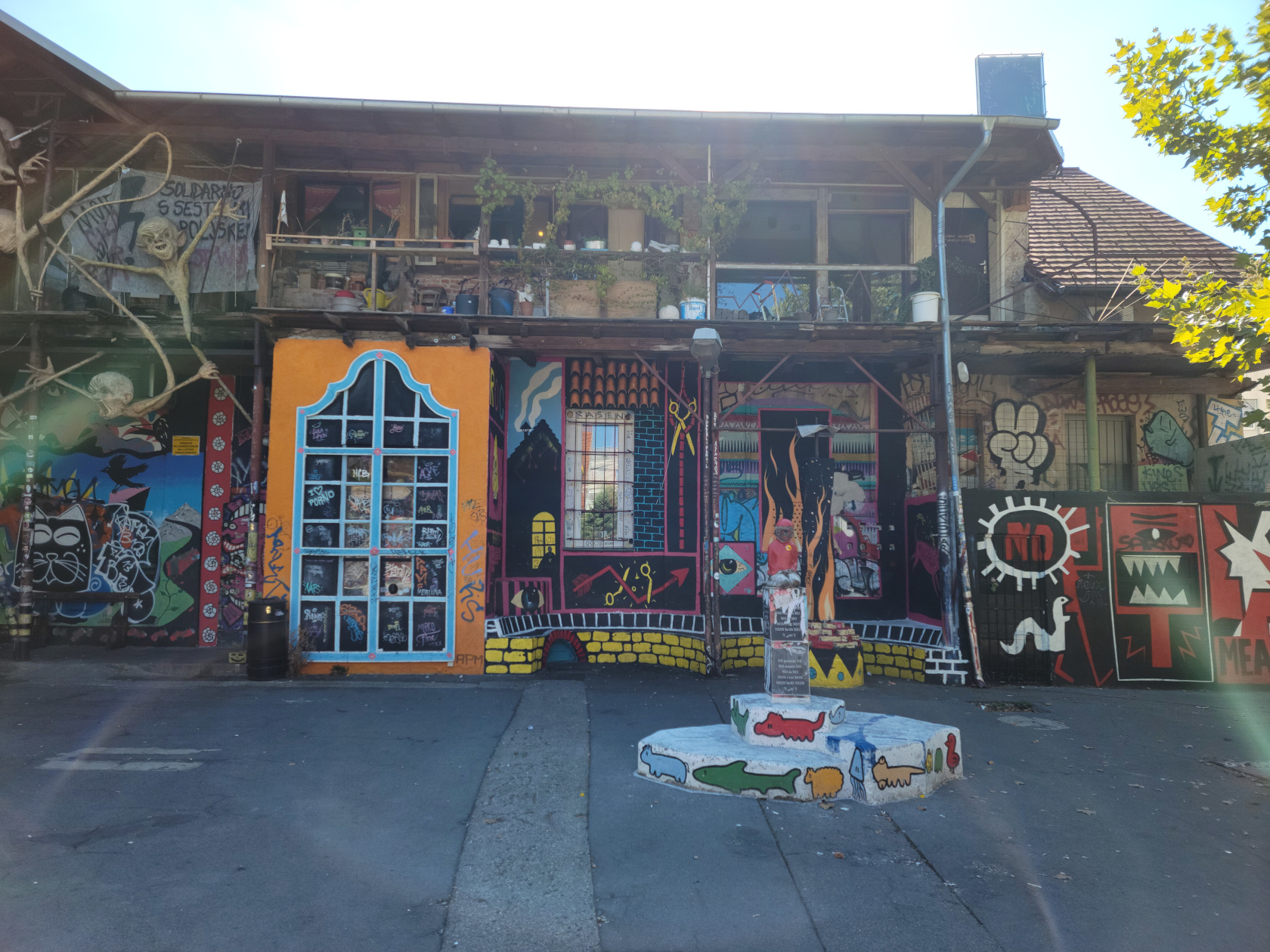
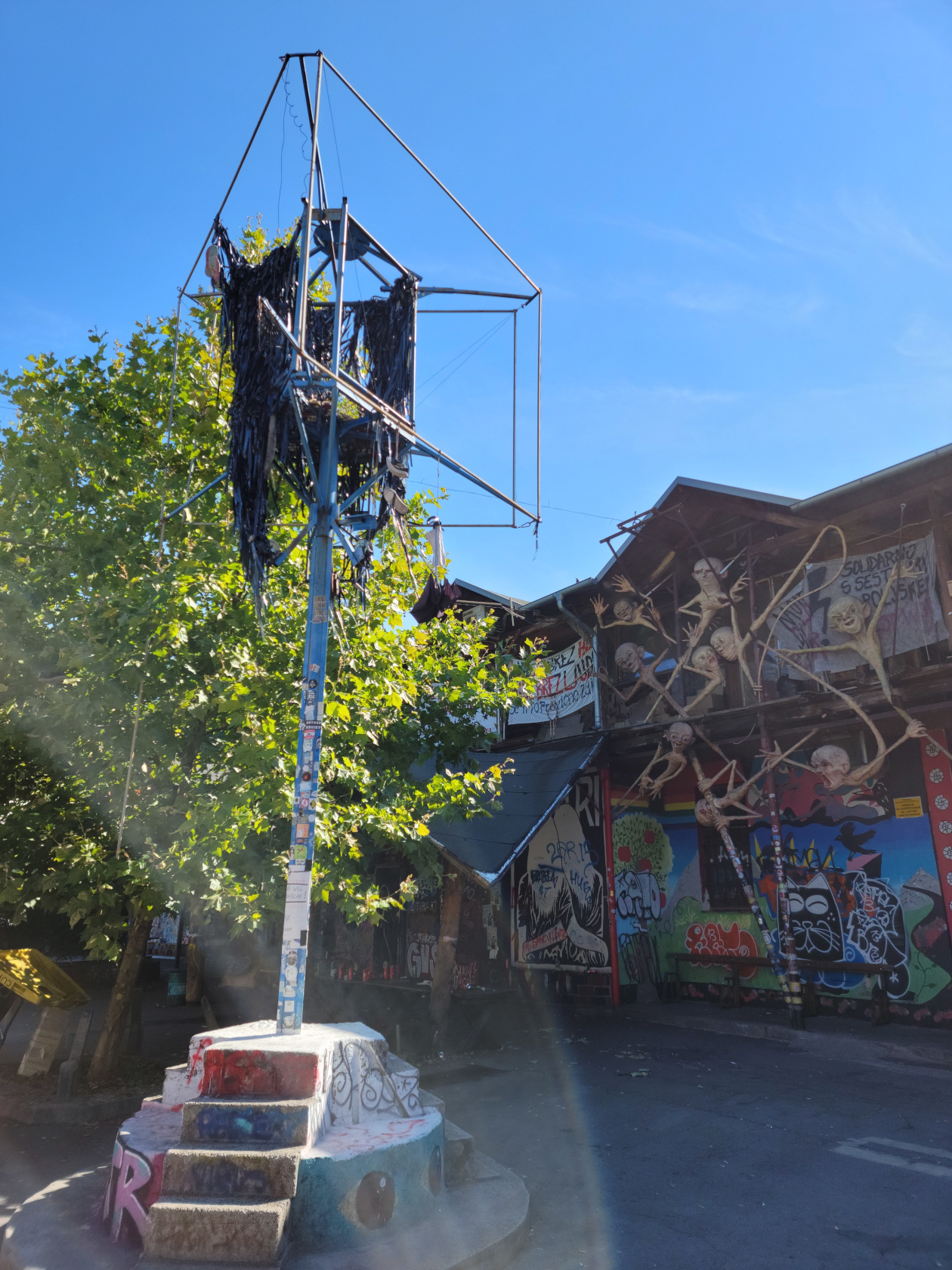
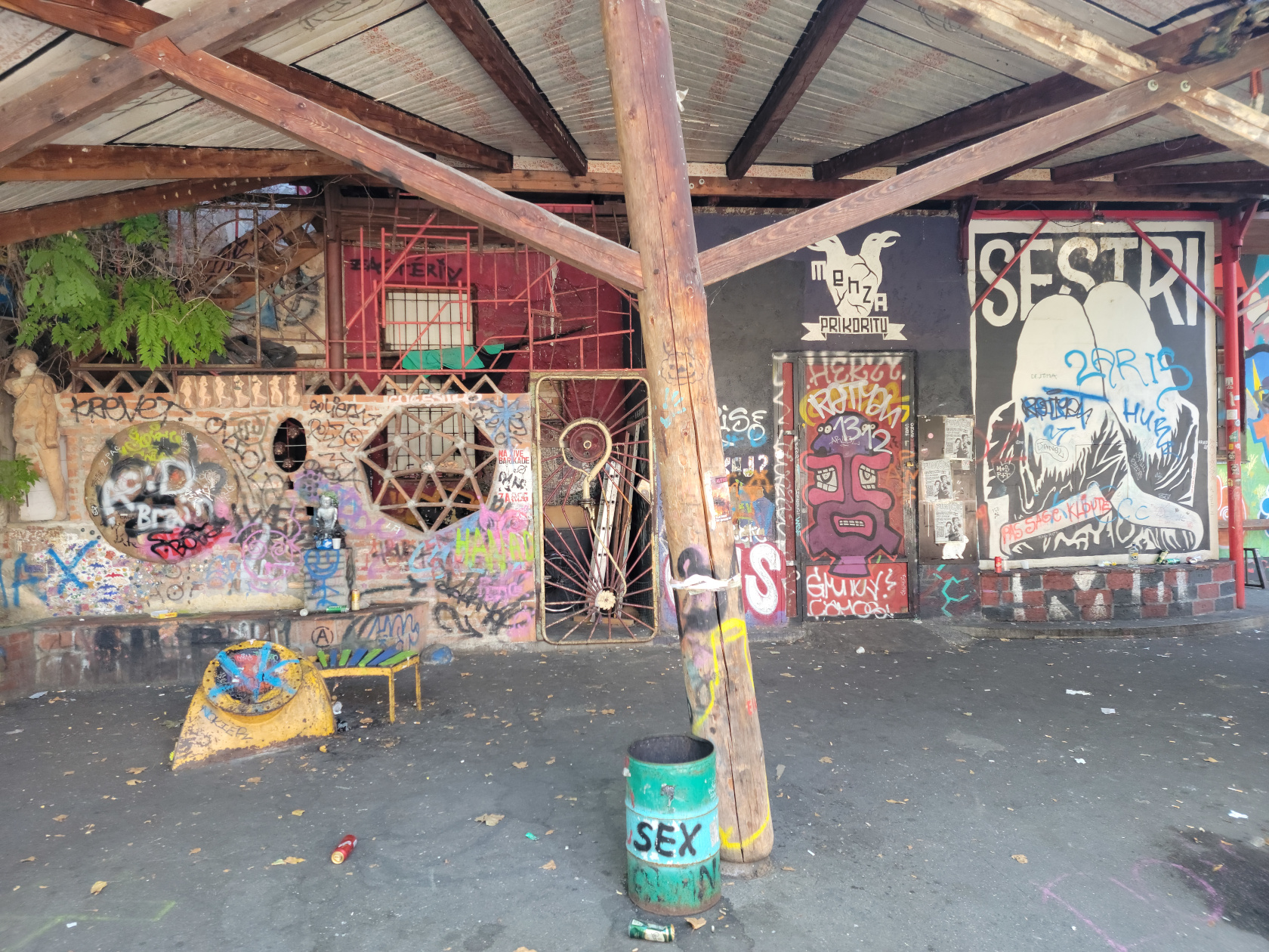
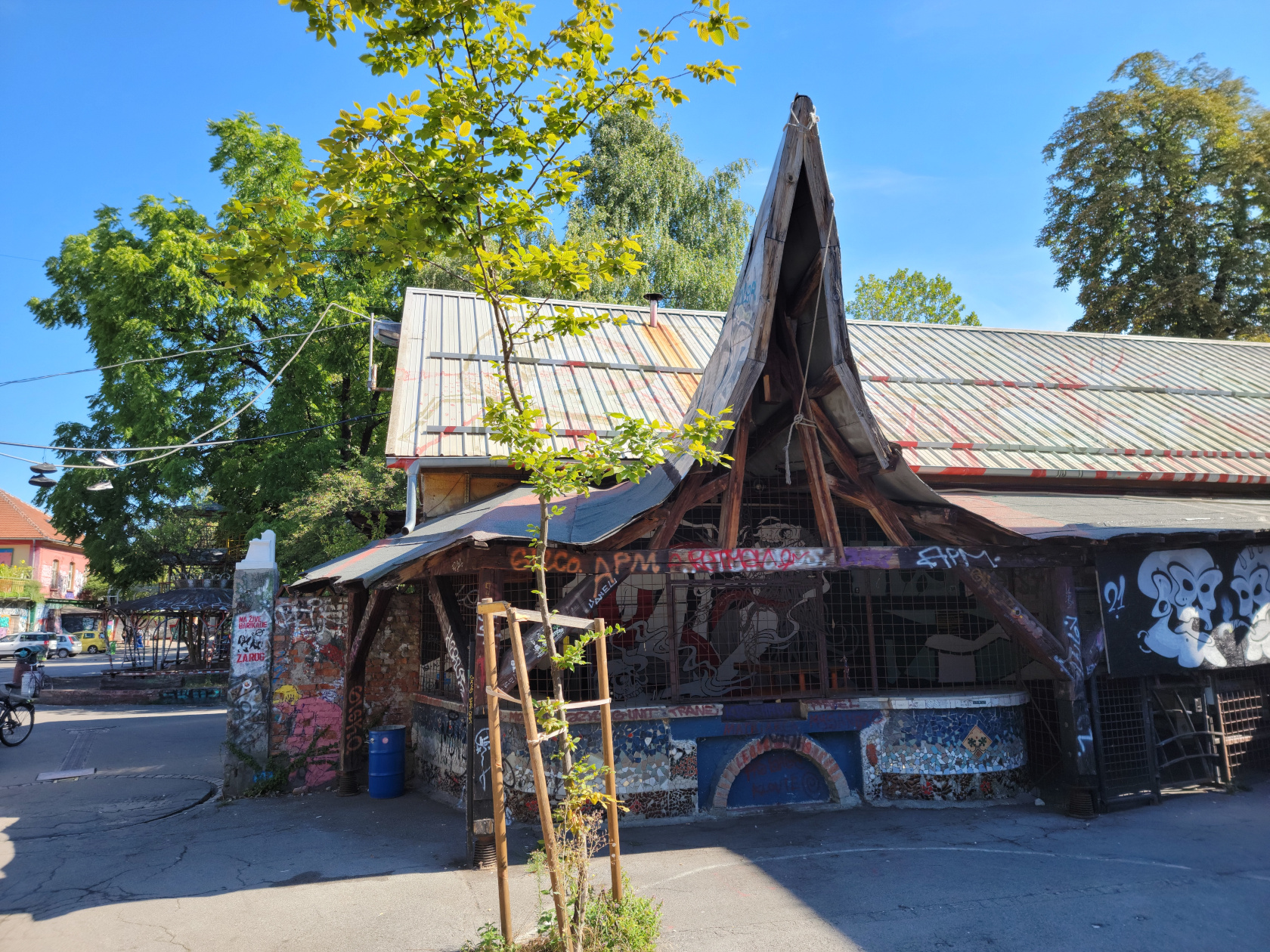
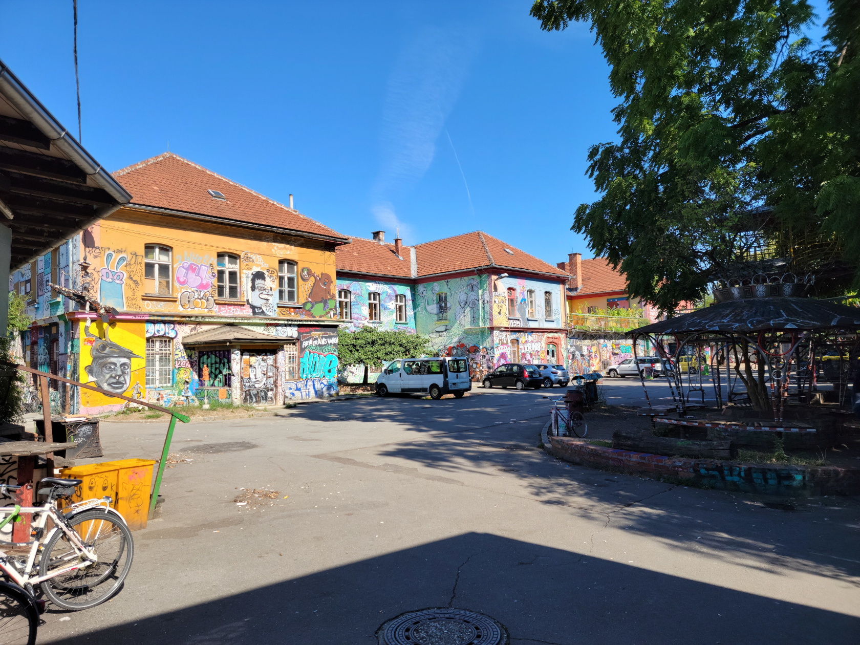
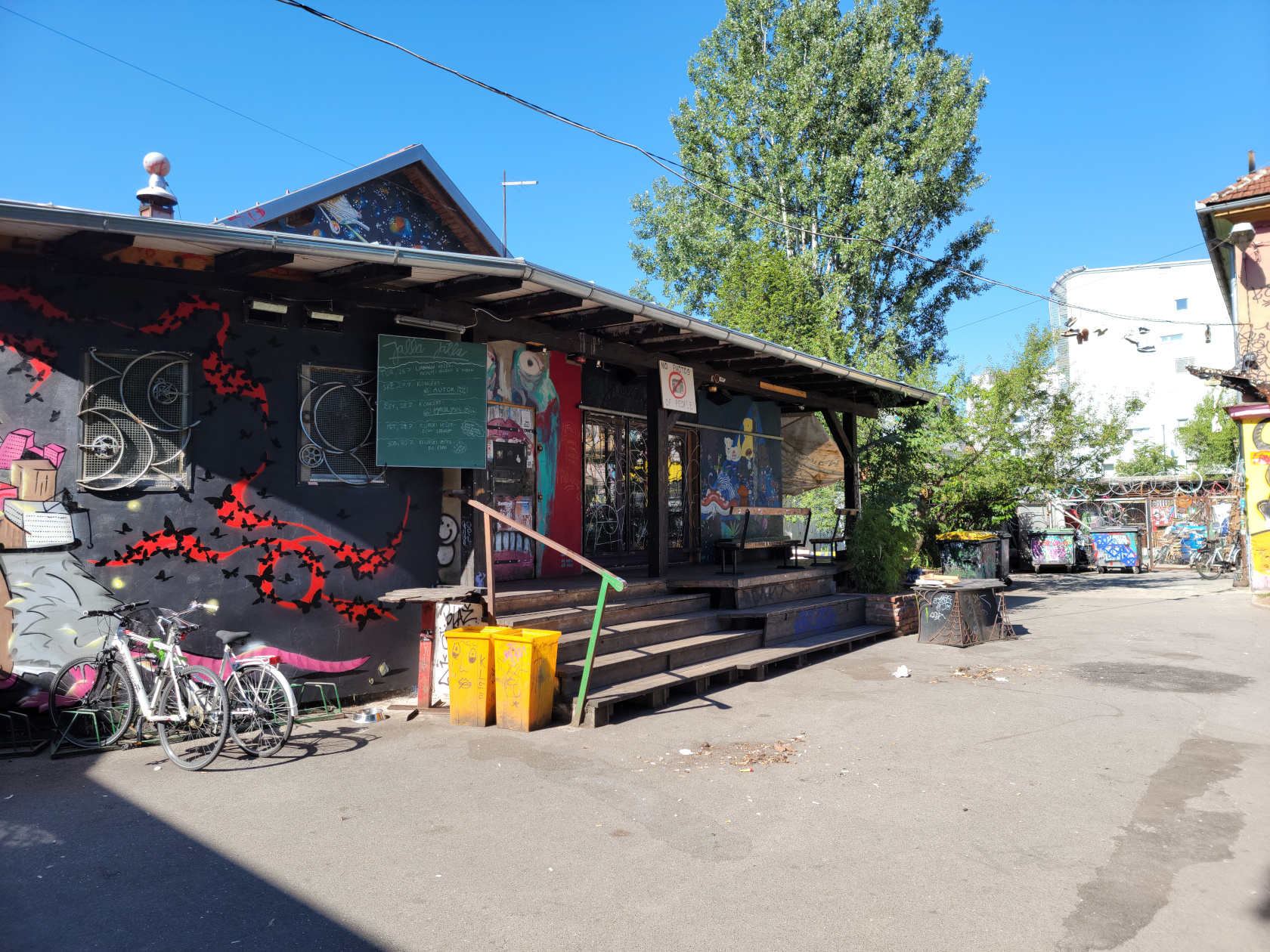
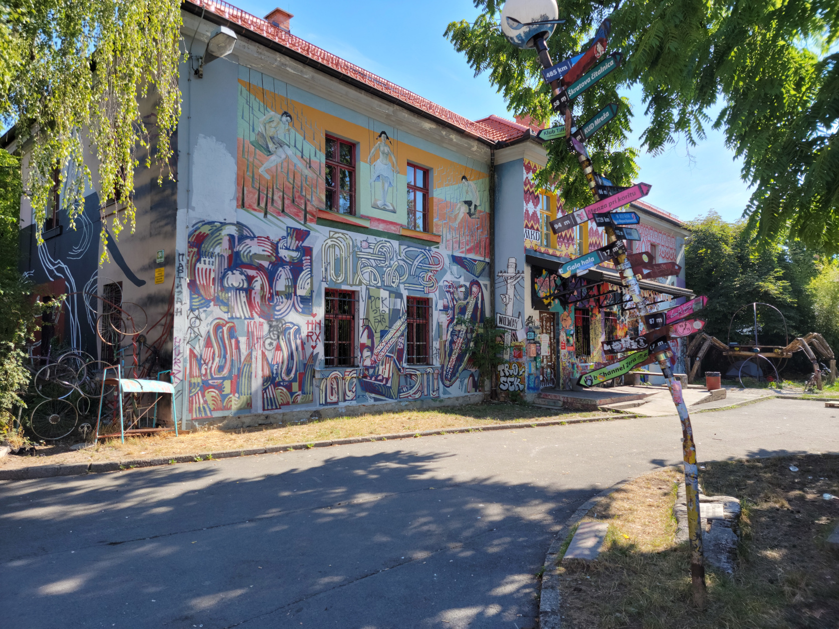
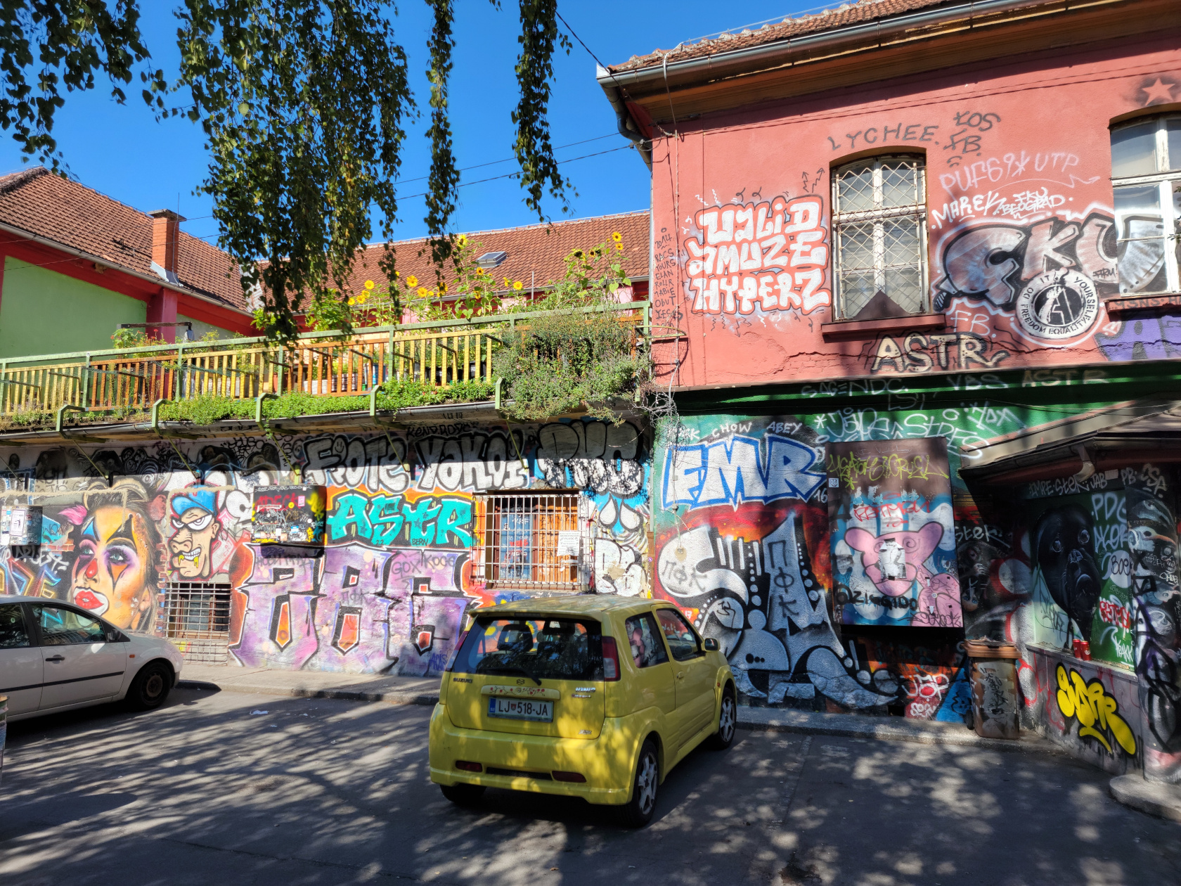
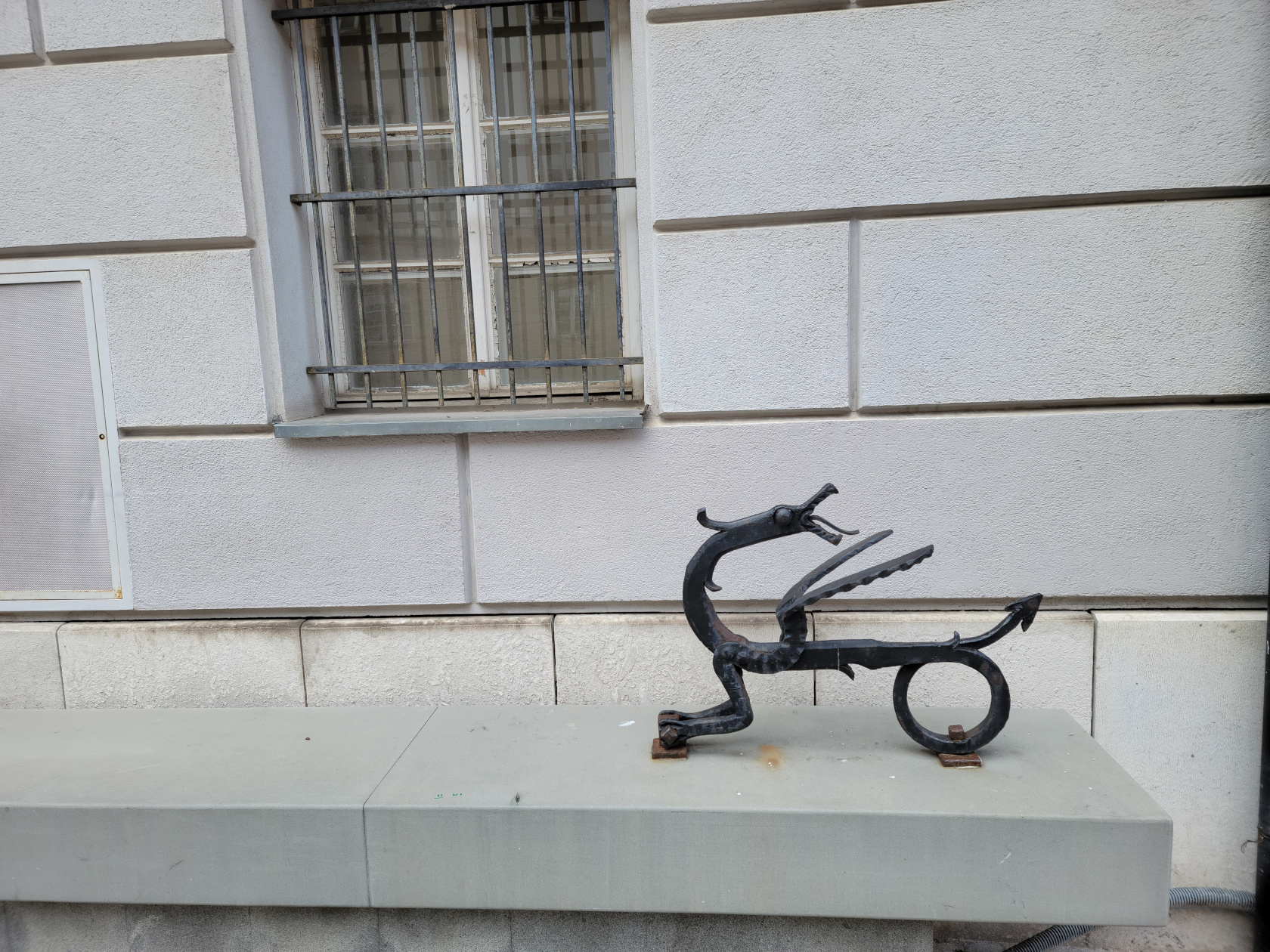
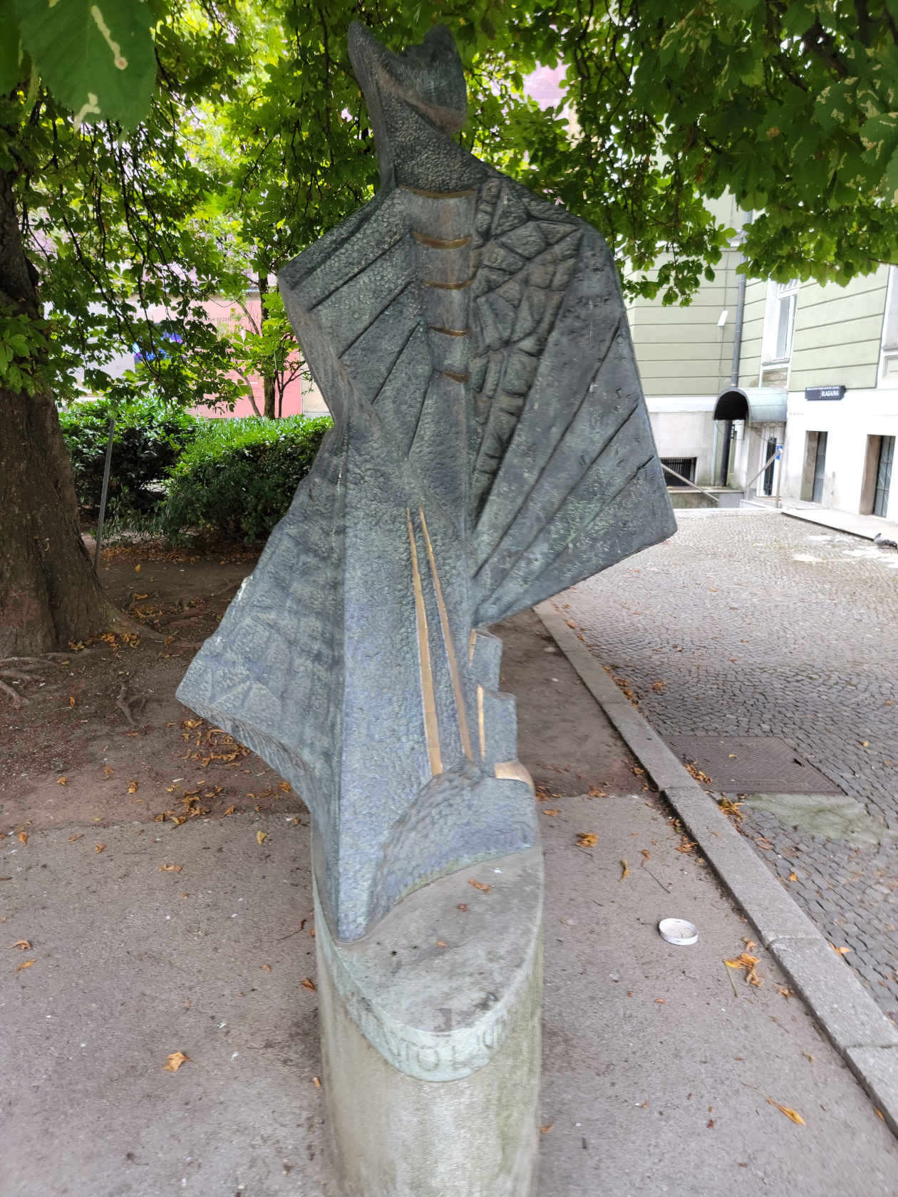
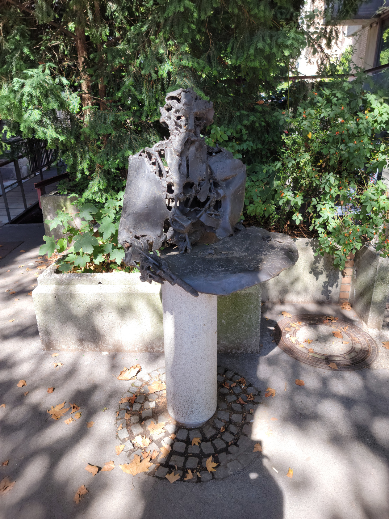
Graffiti Block
Graffiti Block, also known as the Metelkova Art Museum, is about a block housing a collection of graffiti and alternative art works for public viewing. Since, “A picture is worth a thousand words“, I will let my photographs speak for themselves.
Restaurants
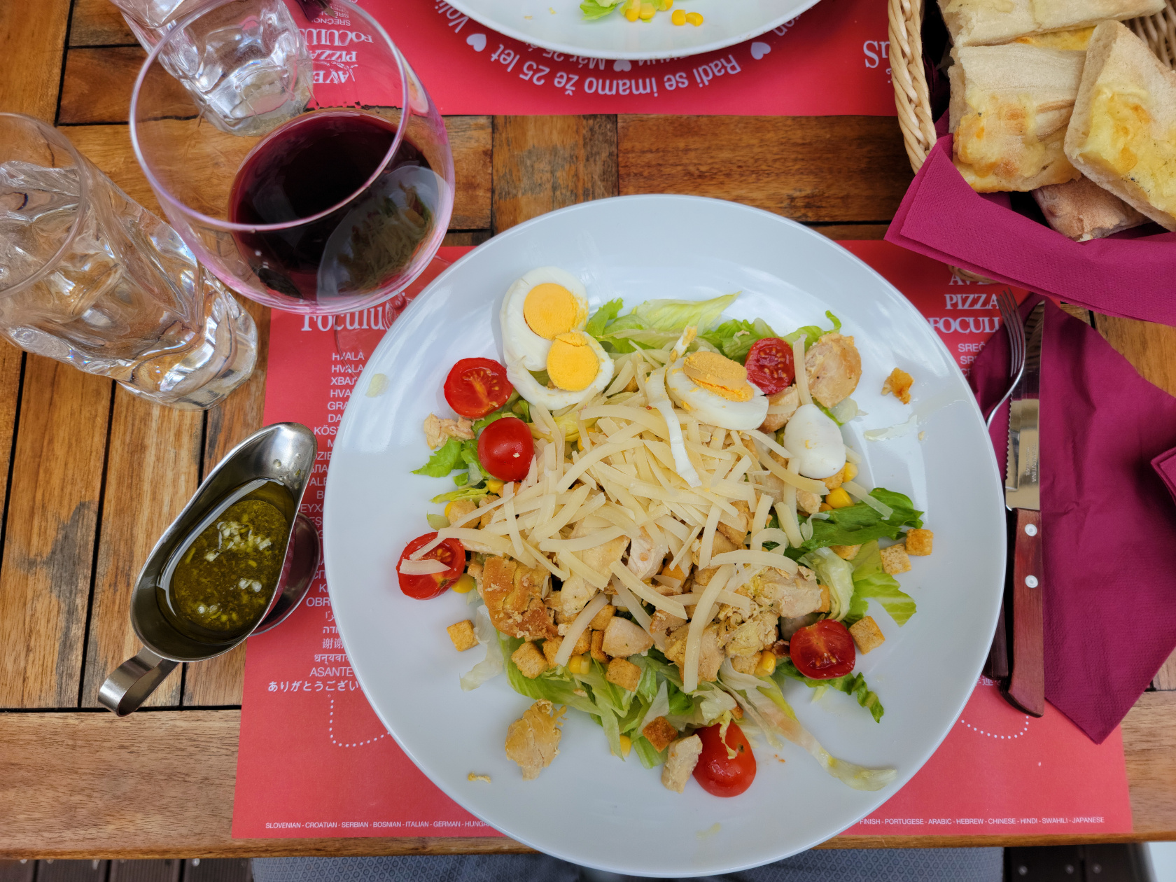
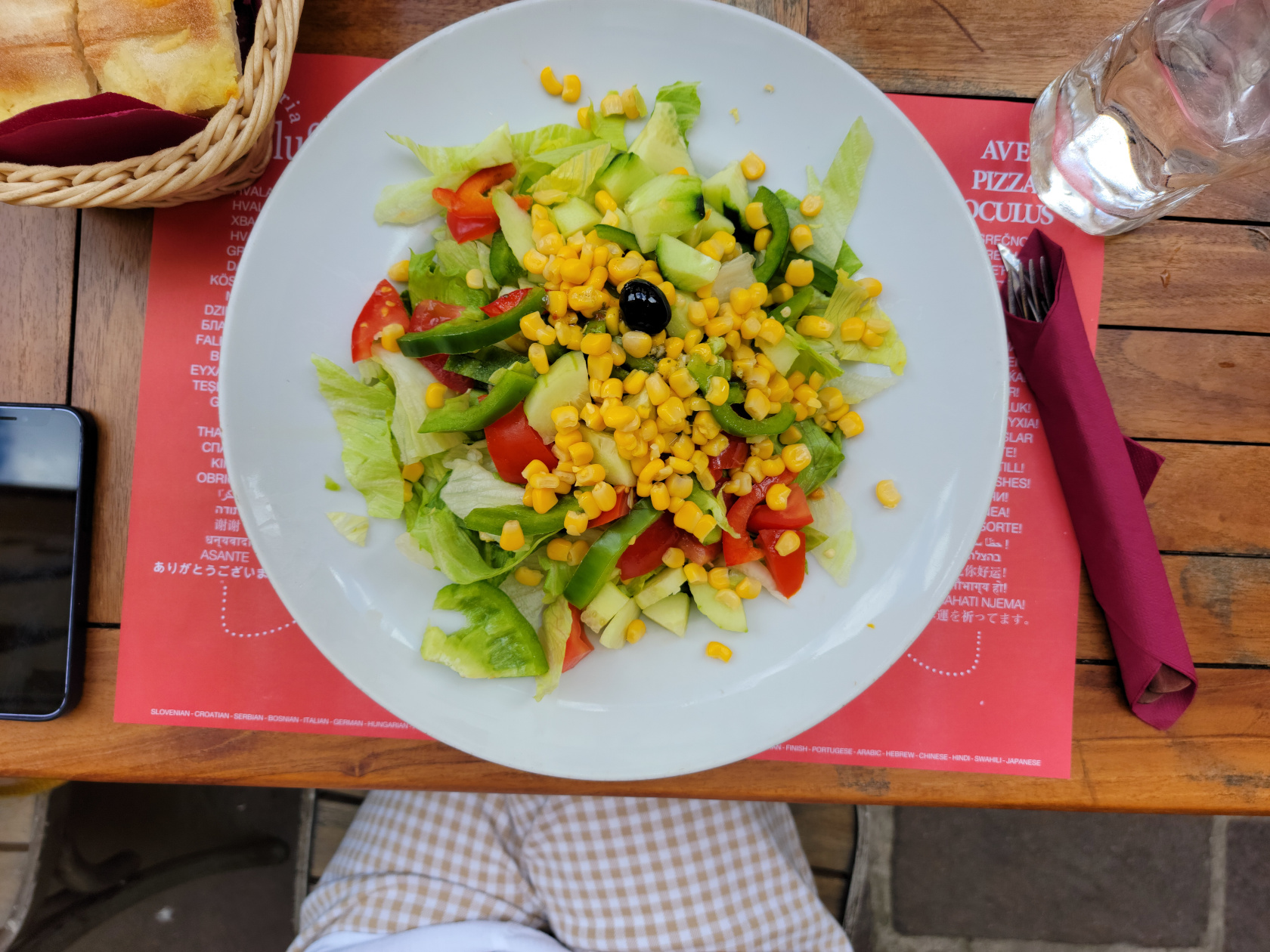
Foculus Restaurant
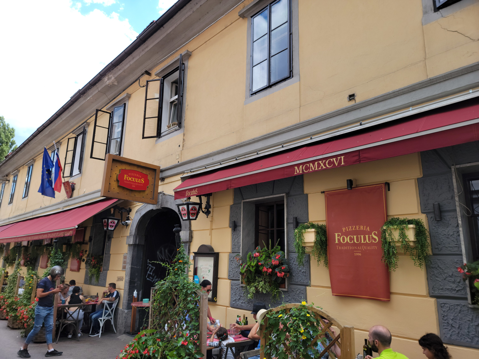
Apparently a trendy little pizzeria on the edge of the city not far from the park, but far enough from the center and river so that it is not much affected by all the crowds. We stopped for lunch and something light, so we both ordered salads, which were very good. The prices were very reasonable too!
Epilog
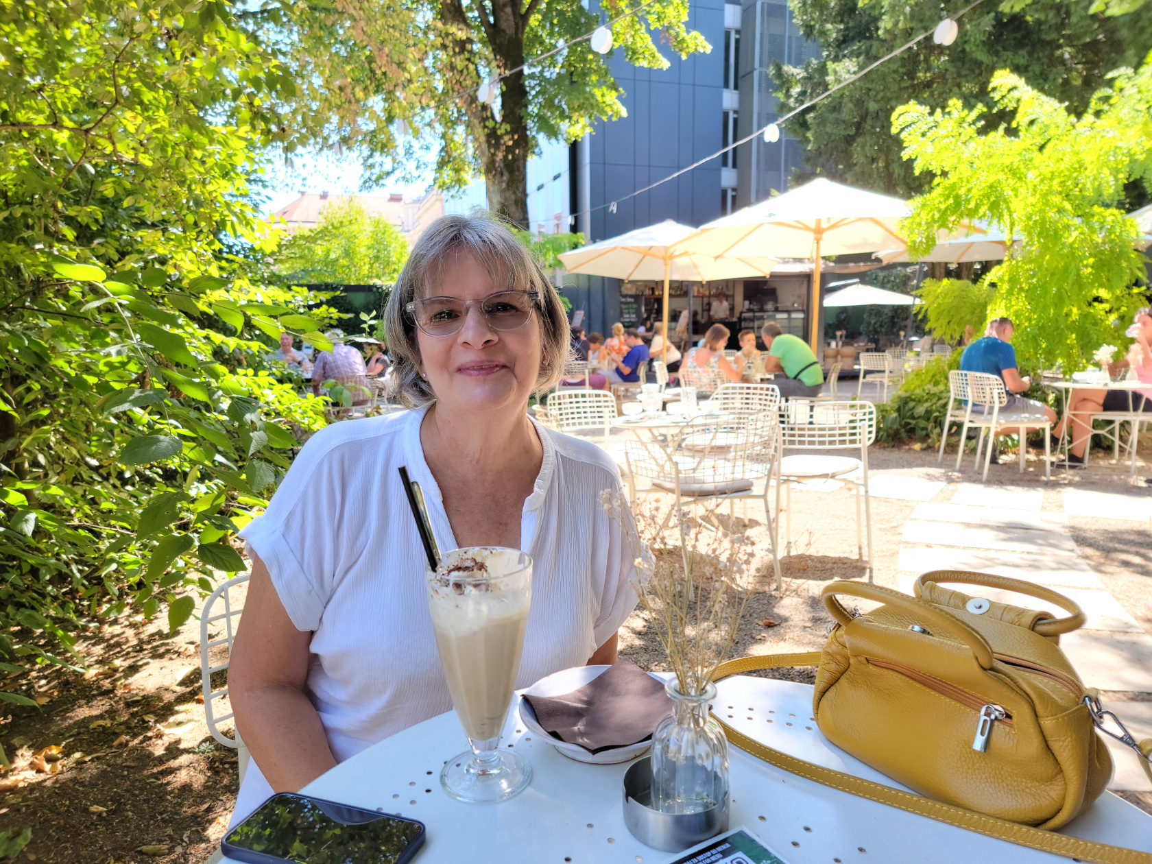
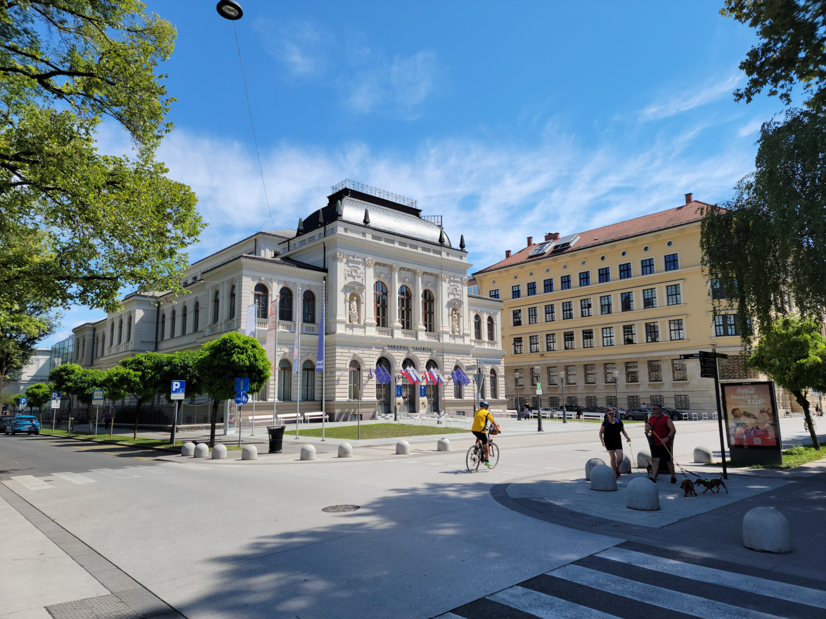
Well that was our trip to Slovenia. I admitted to my wife many times that I didn’t expect much, but was very pleasantly surprised. If you ever get a chance to go, please do so. The people in the city are very nice and almost all speak English very well, so don’t let your lack of language skills deter you, go!
Some remaining photographs of this great city, enjoy…

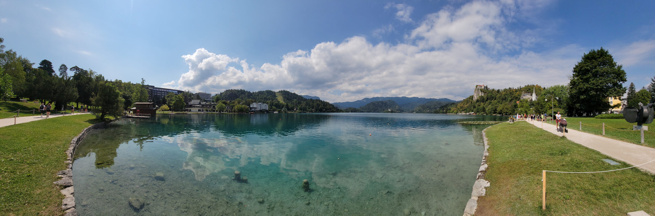
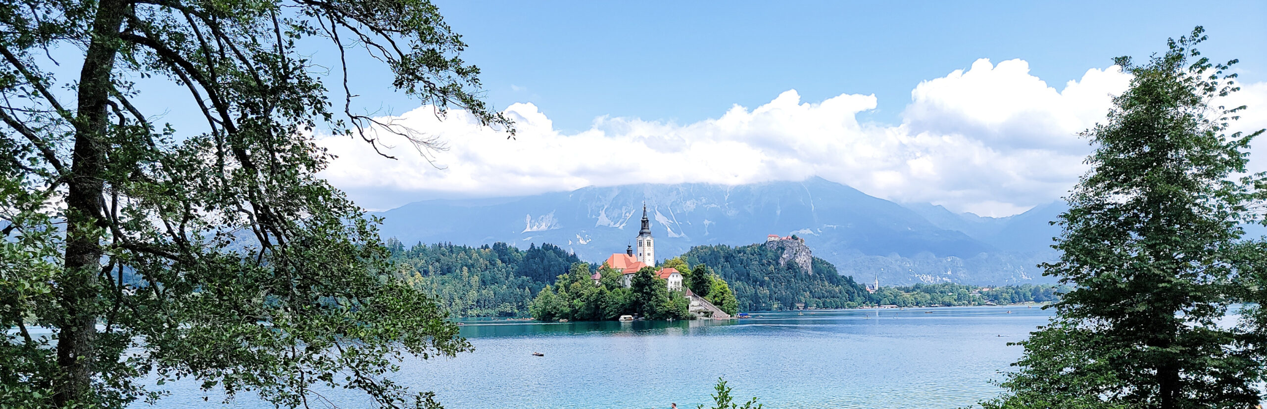
Bled, Slovenia – A Blue Karawanken Gem
At the base of the Southern Limestone Alps[1]They are additionally known as the Julian Alps., or Karawanken Mountains, sits the small town and lake of Bled . It is almost a must see place to go on a day trip from Ljubljana, especially if you have enough time. Since we have the time, we usually overbook our stays at places that are totally unknown to us. For Ljubljana specifically, and Slovenia in general, we were happy that we did, since it afforded us a day trip such as the one to Bled. Slovenia really is a great place to visit!
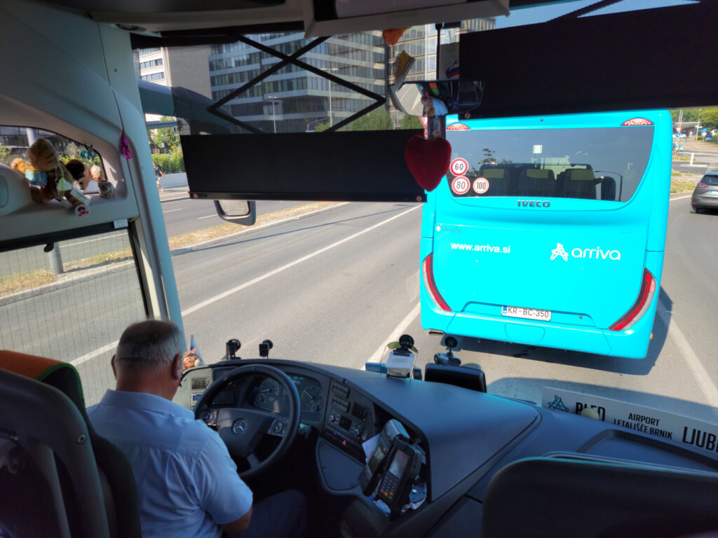
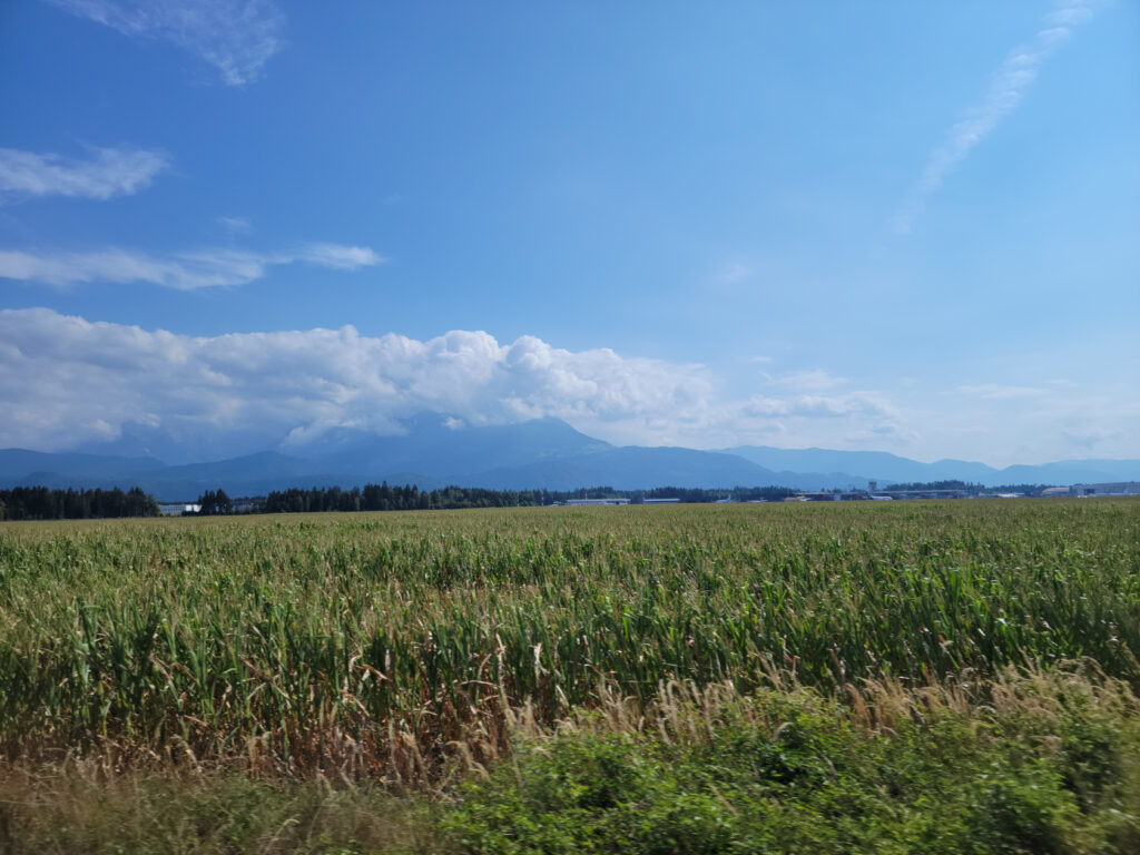
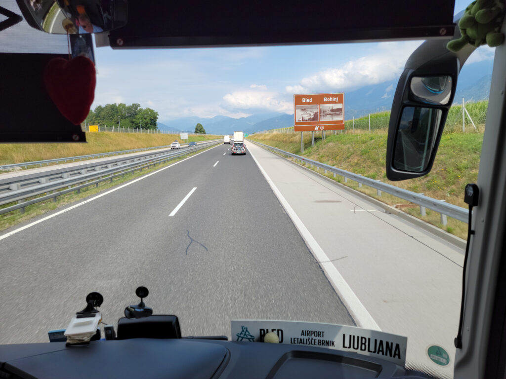
Lake Bled – Getting There
To get to the lake you must travel northwest from Ljubljana, there is the E61 that can be taken by car or bus. The trip normally takes forty-five minutes by car, and up to an hour and a quarter by bus, but can take longer if there is an accident or construction on the highway. Upon the suggestion of the information booth by the Triple Bridge we took the bus, even though we now think the train may be faster. The bus is packed, so if you are worried about Covid-19, and you should, you should be prepared to wear you FFp2 mask.
It should be noted, the bus takes two different routes going to and coming from the lake, each taking about the same time. There is of course the train, which may actually take less time gong to and fromm Bled, but then you have about a twenty or so minute walk from the town of Bled Train Station to the lake. The bus on the other hand goes all the way to the lake, even though we chose to get off at the Blen Union station.
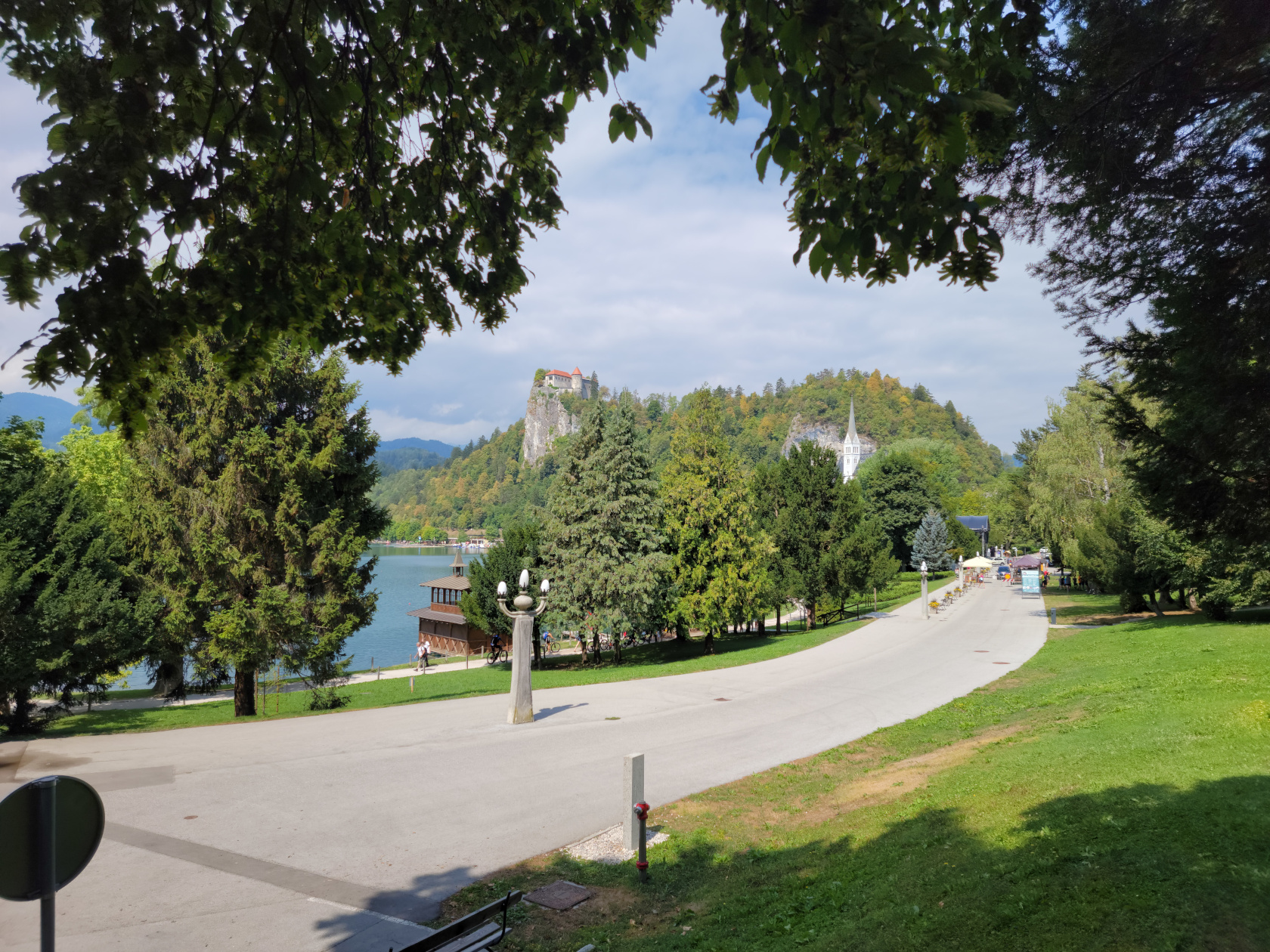
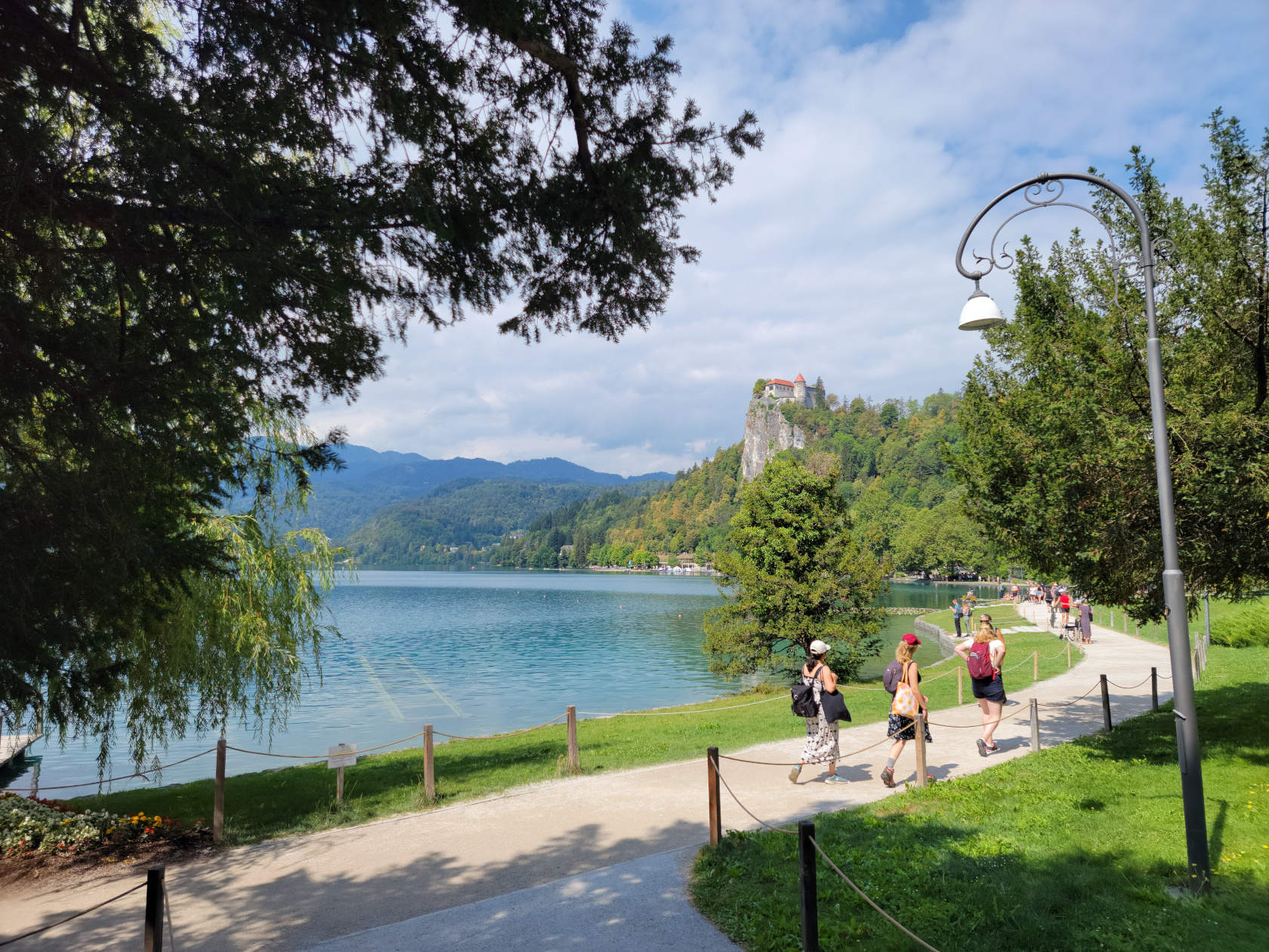
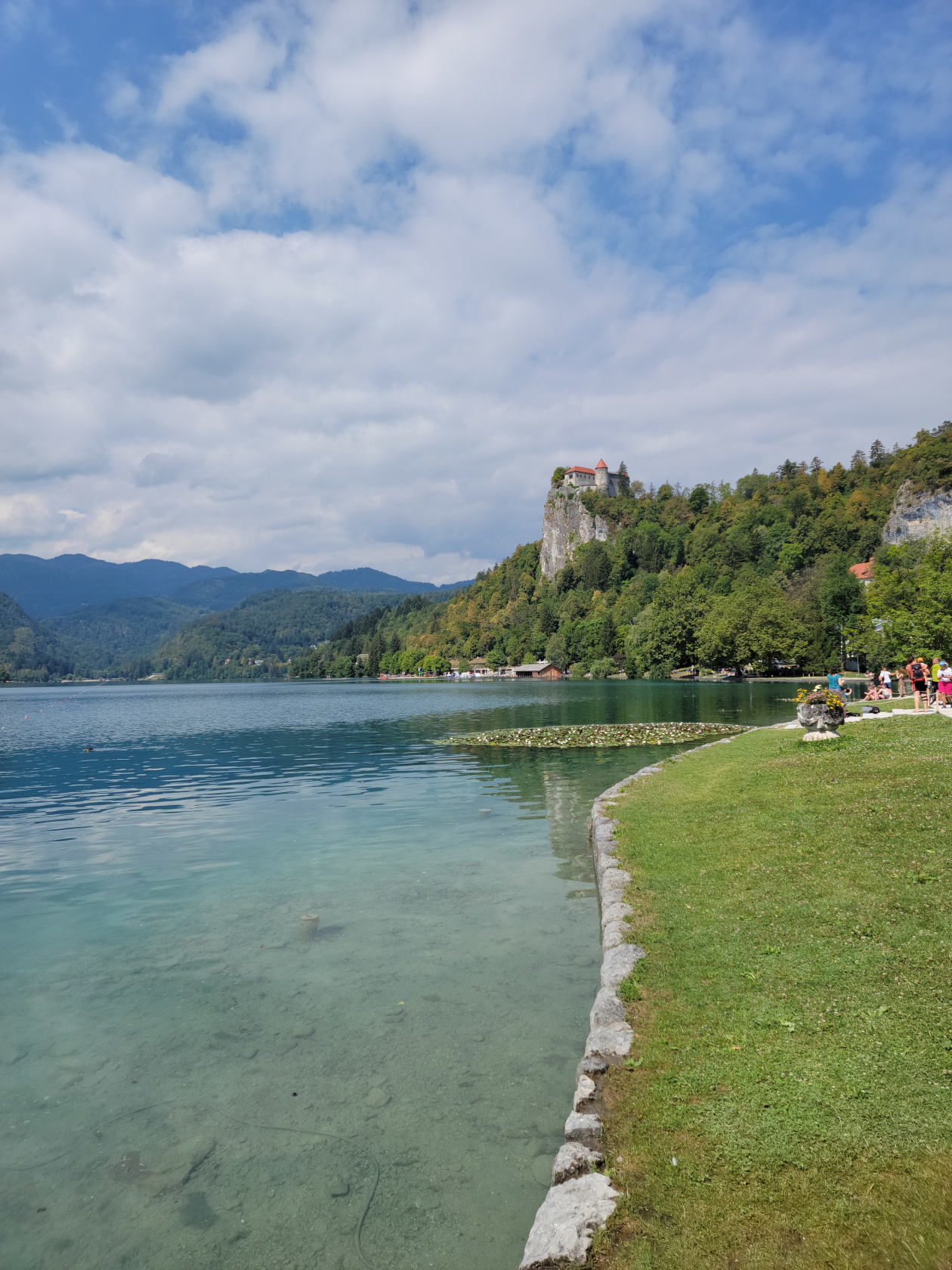
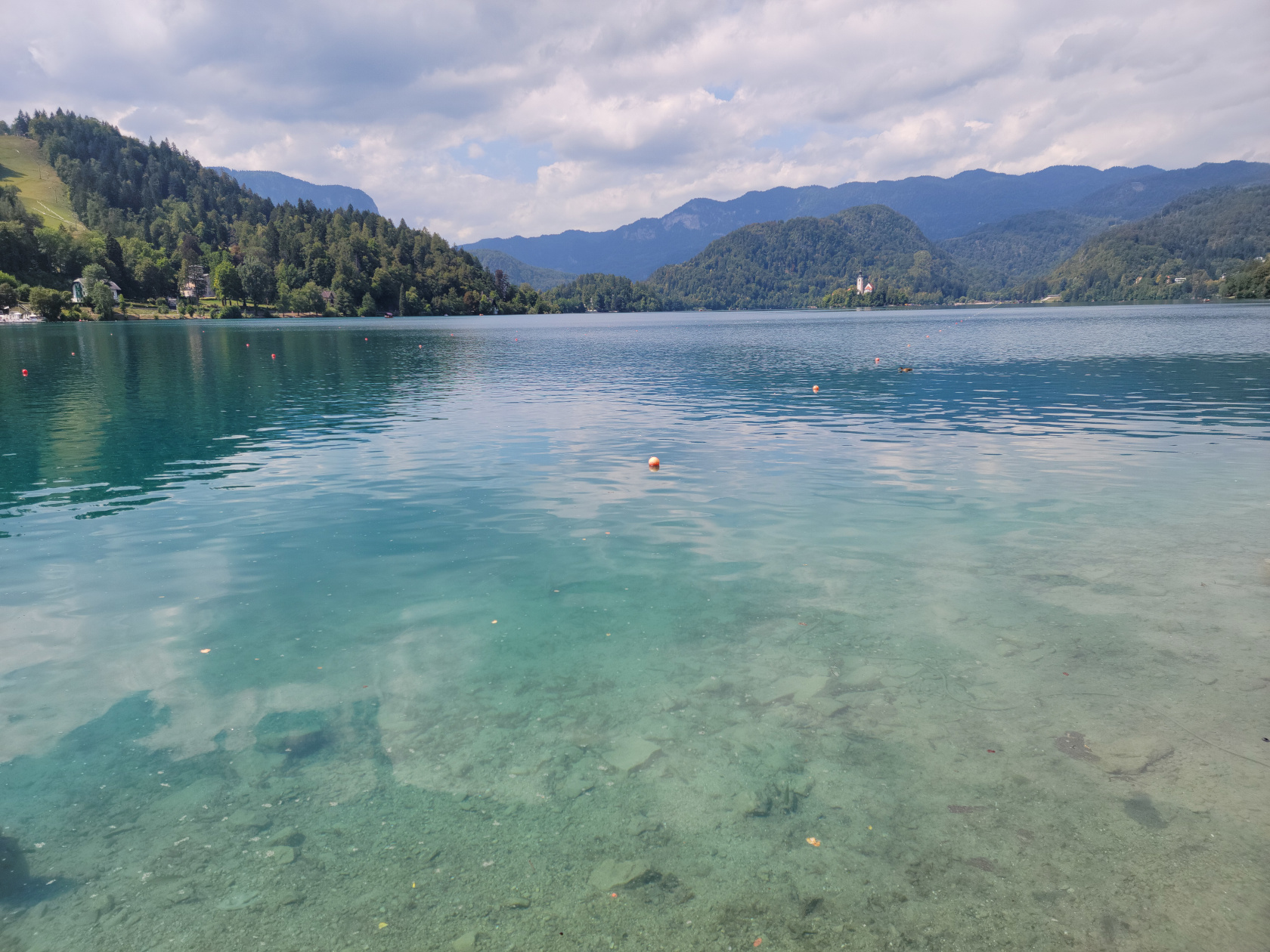
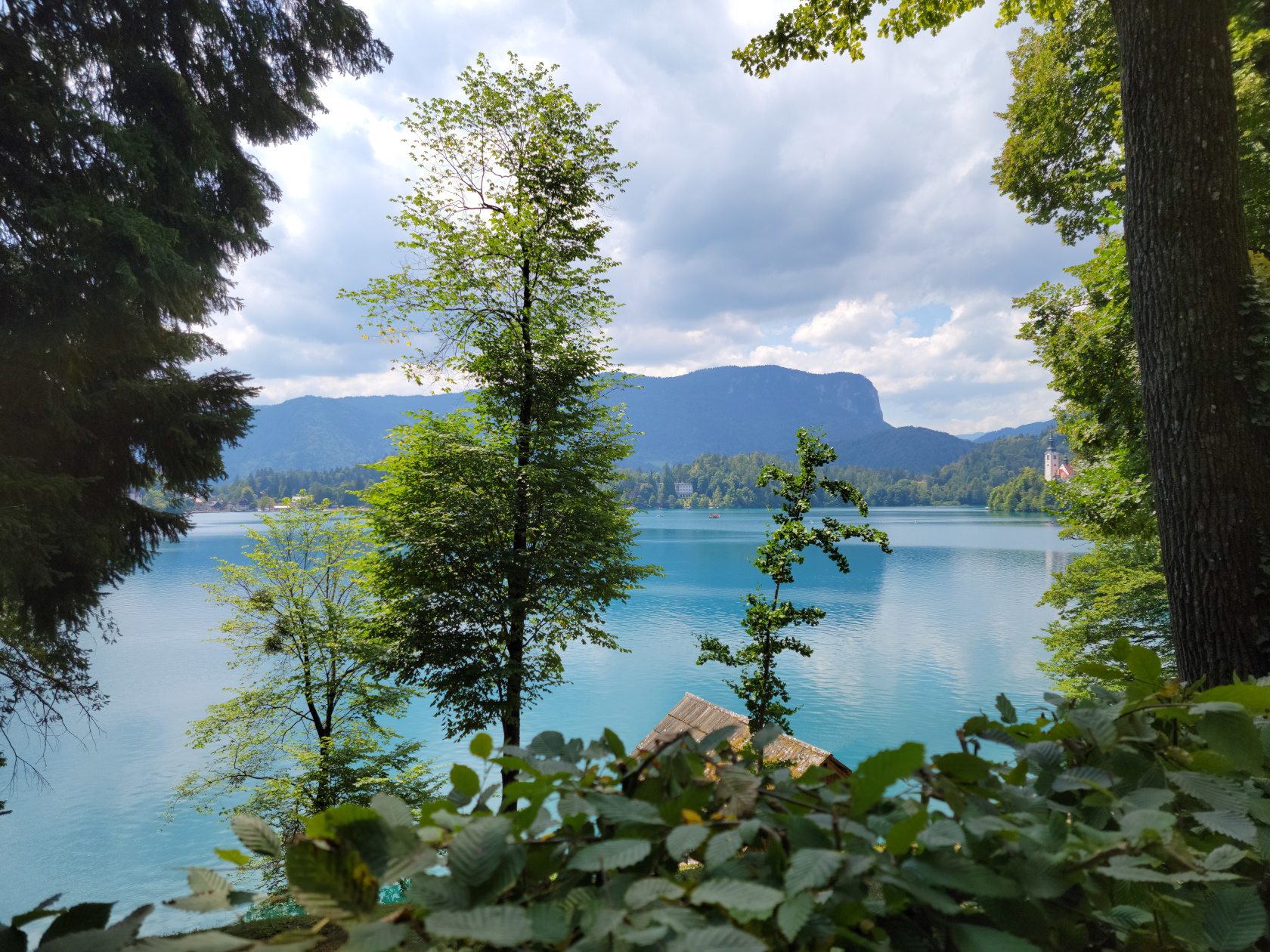
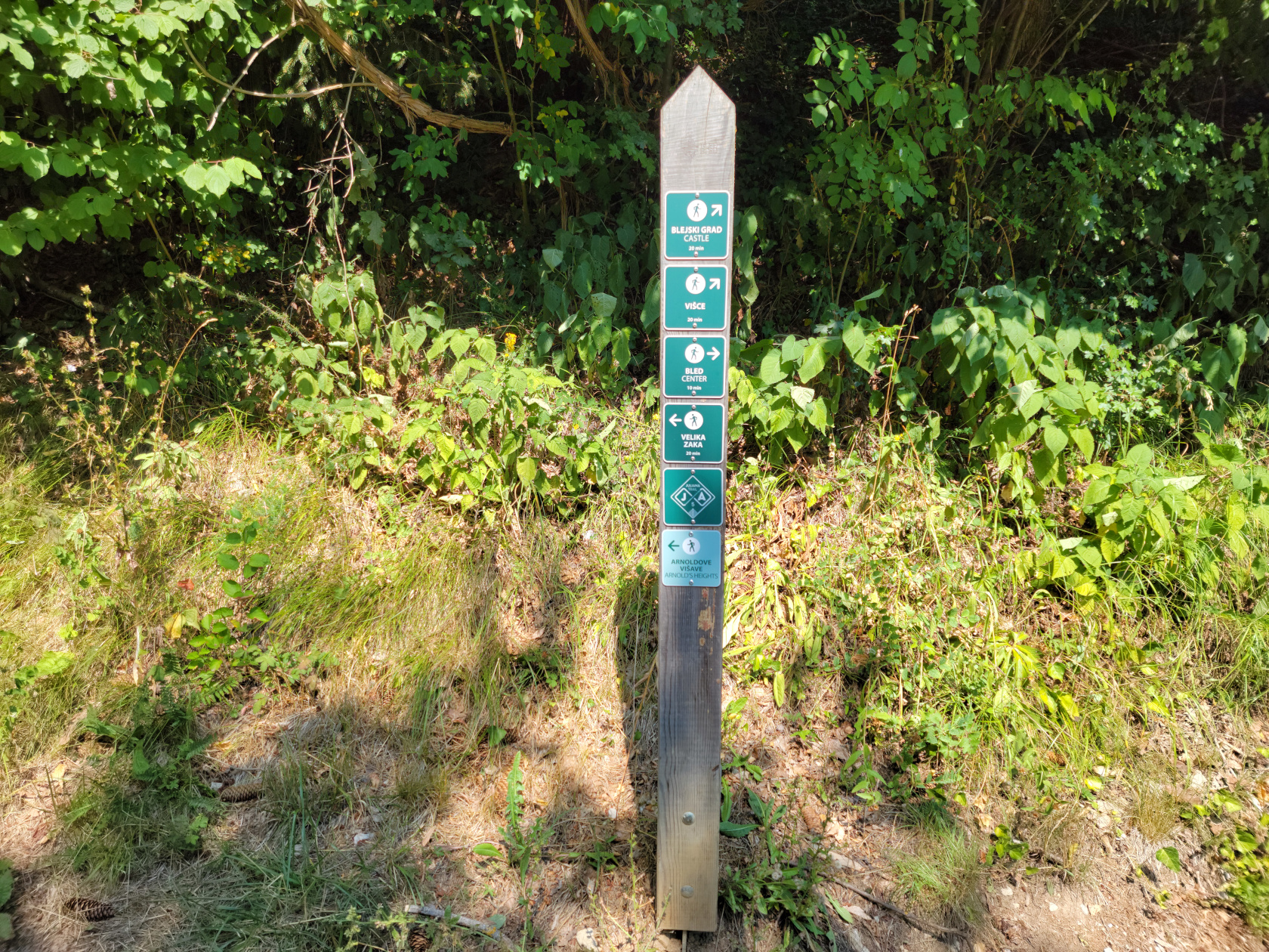
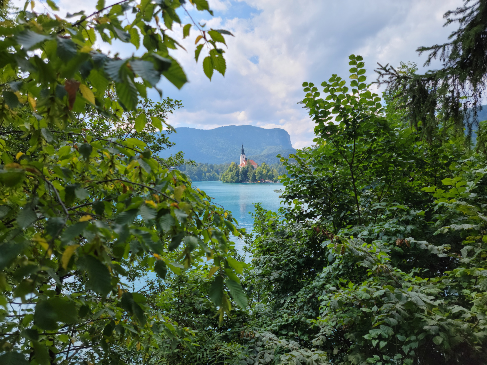
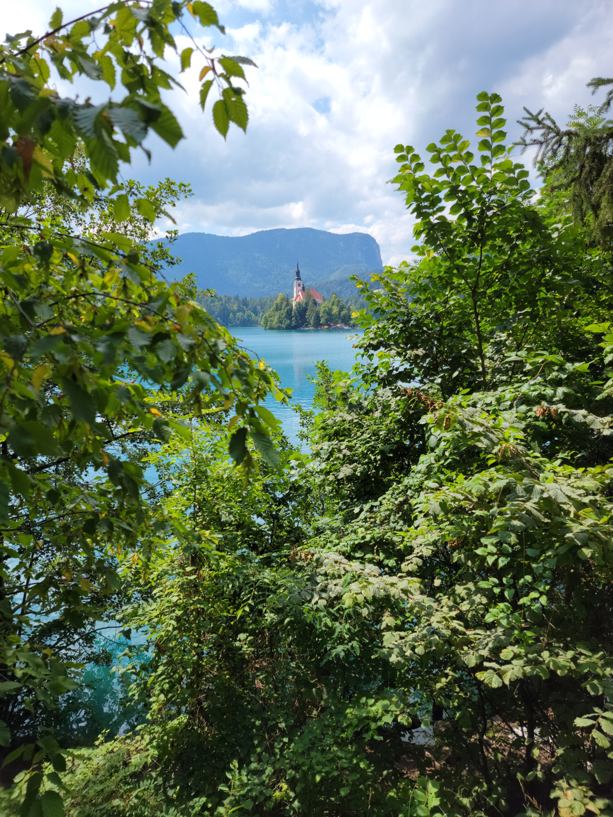
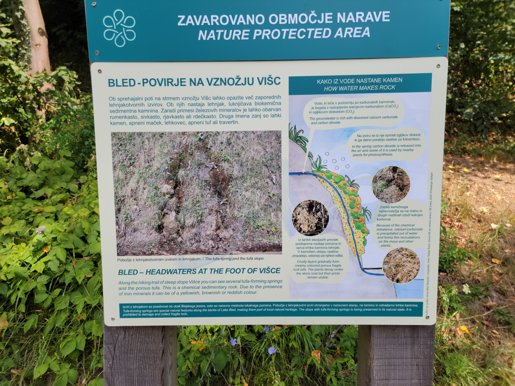
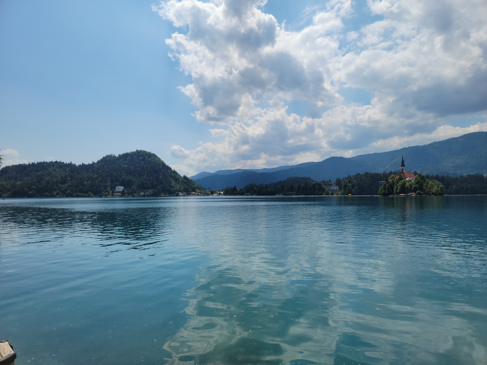
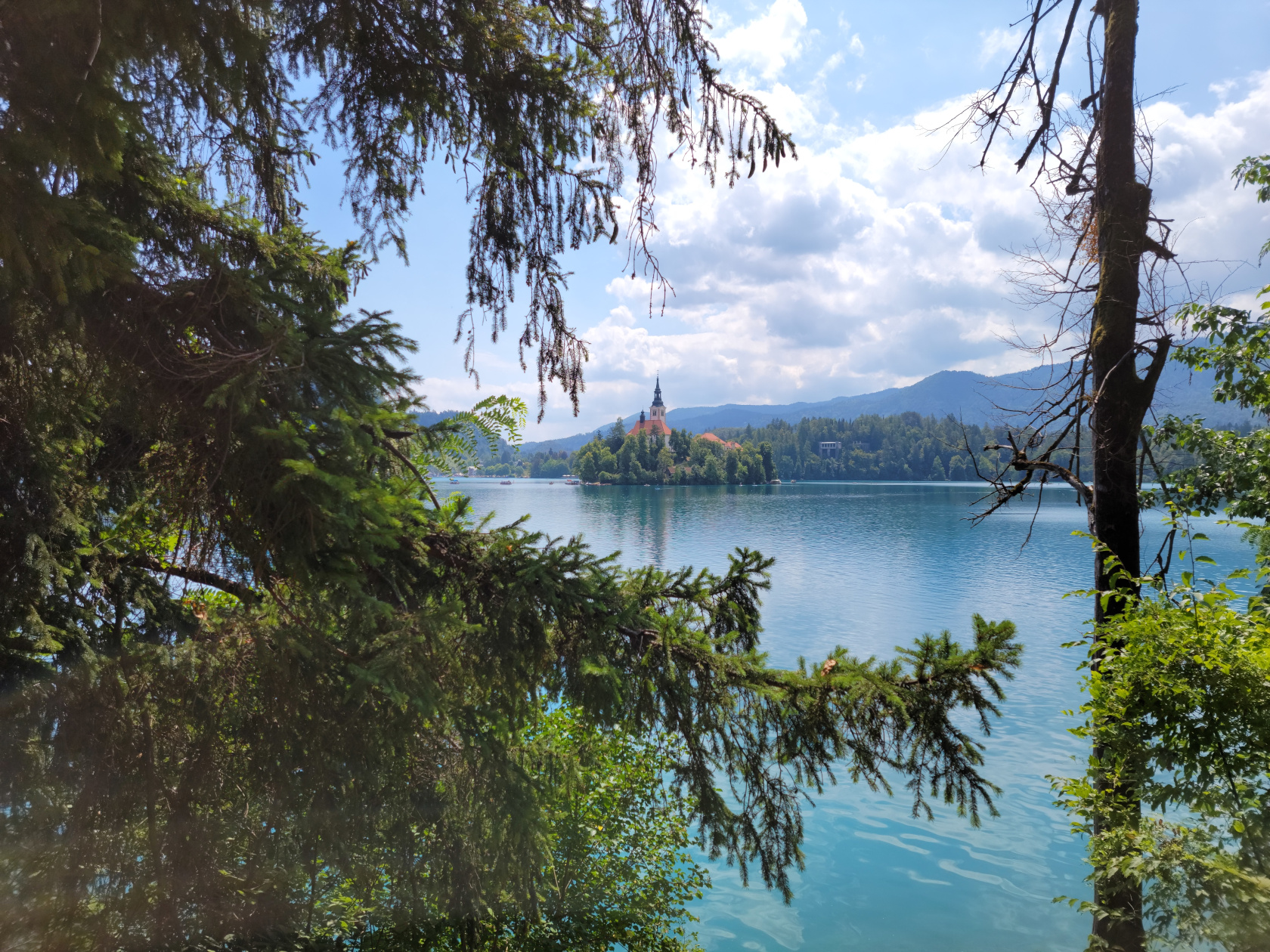
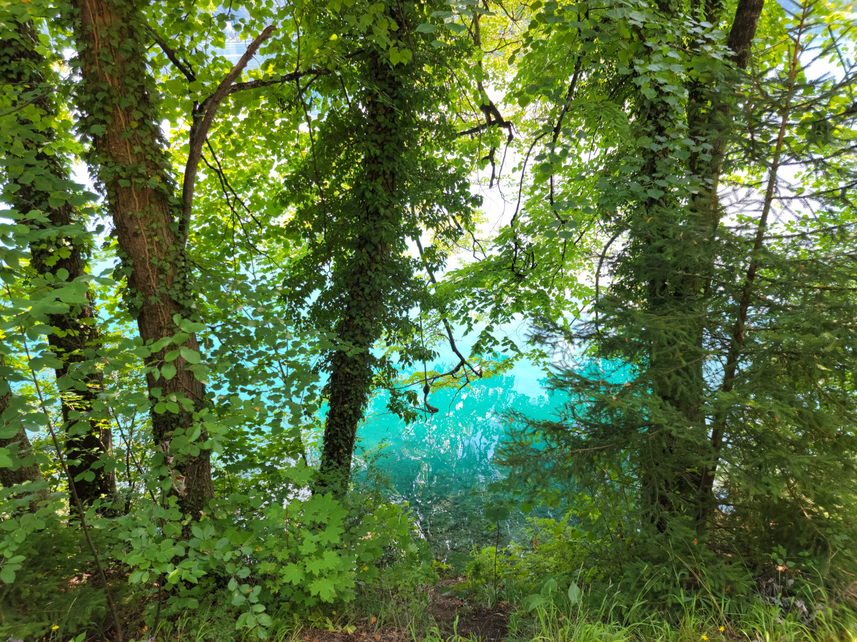
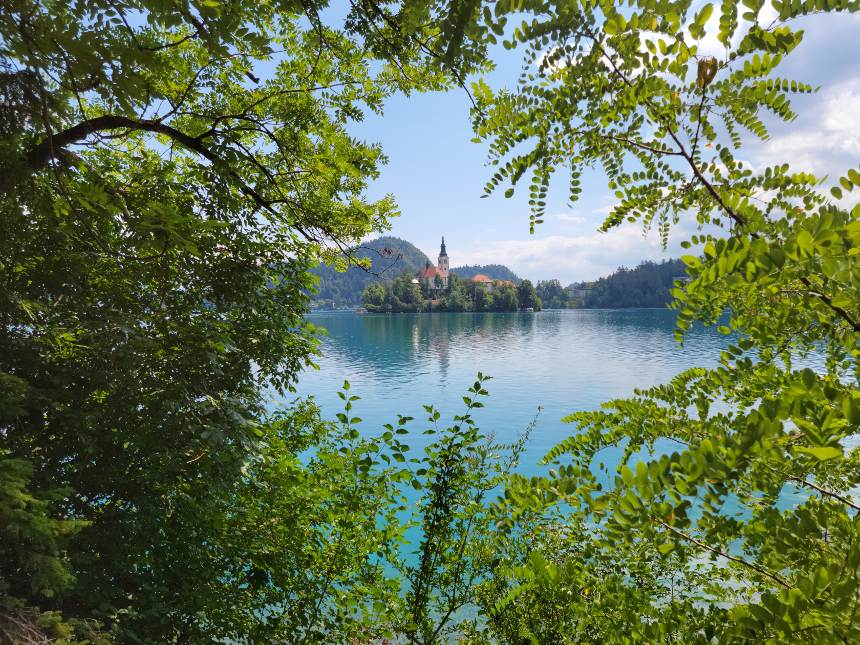
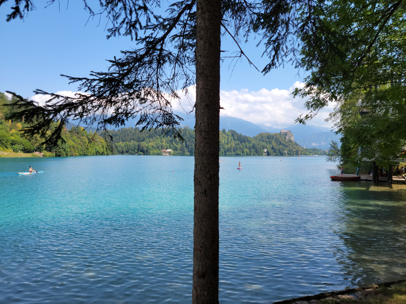
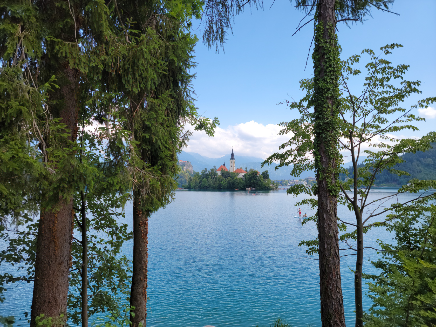
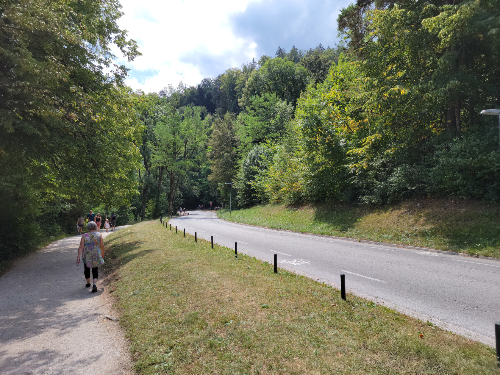
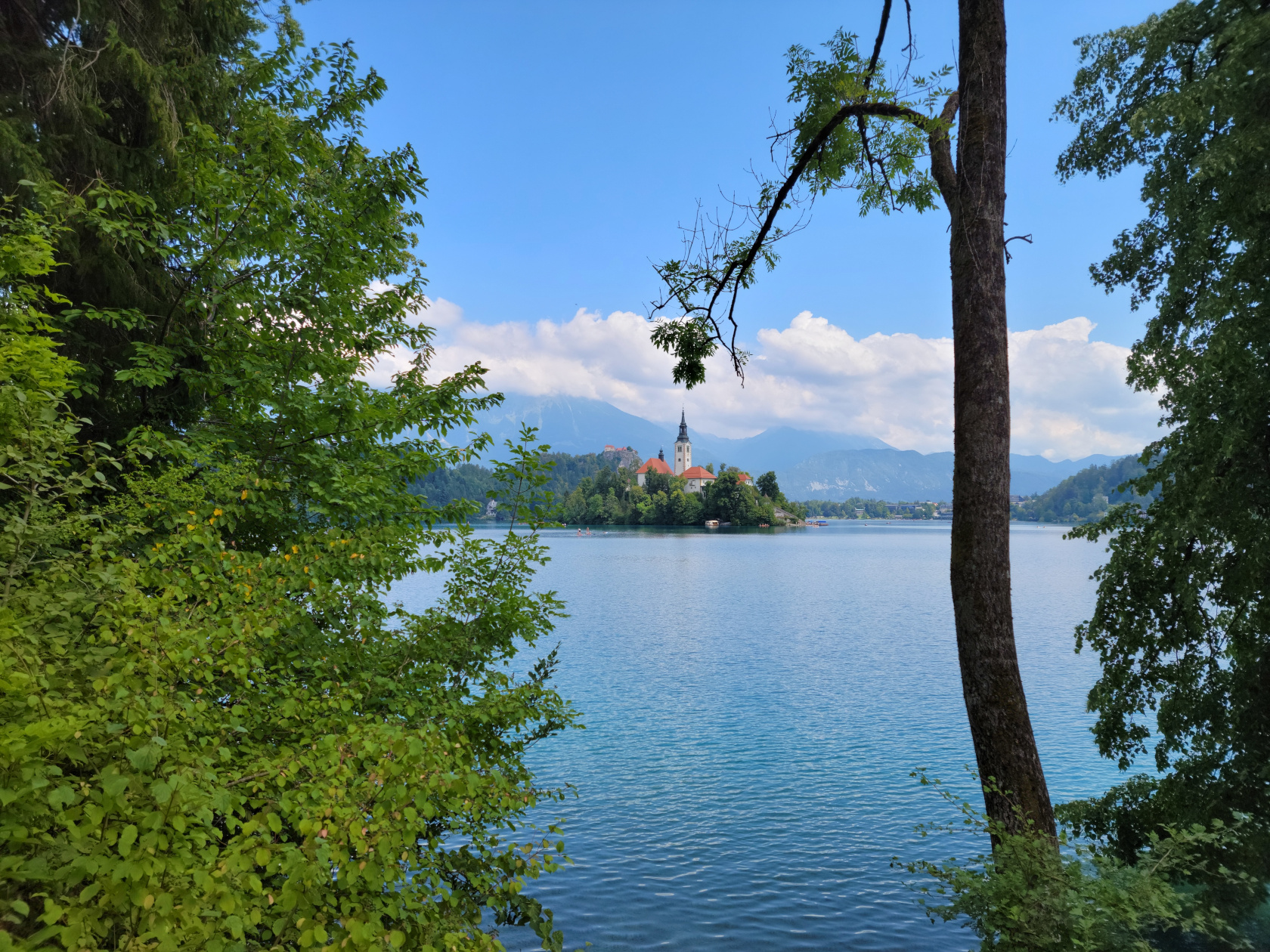
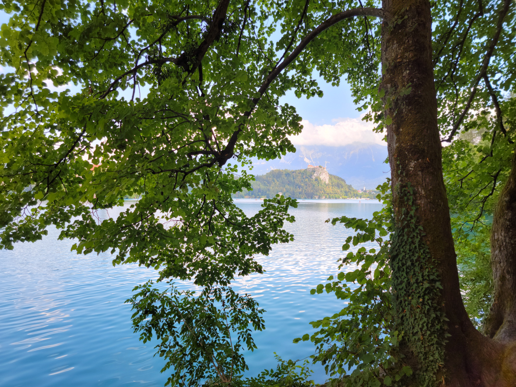
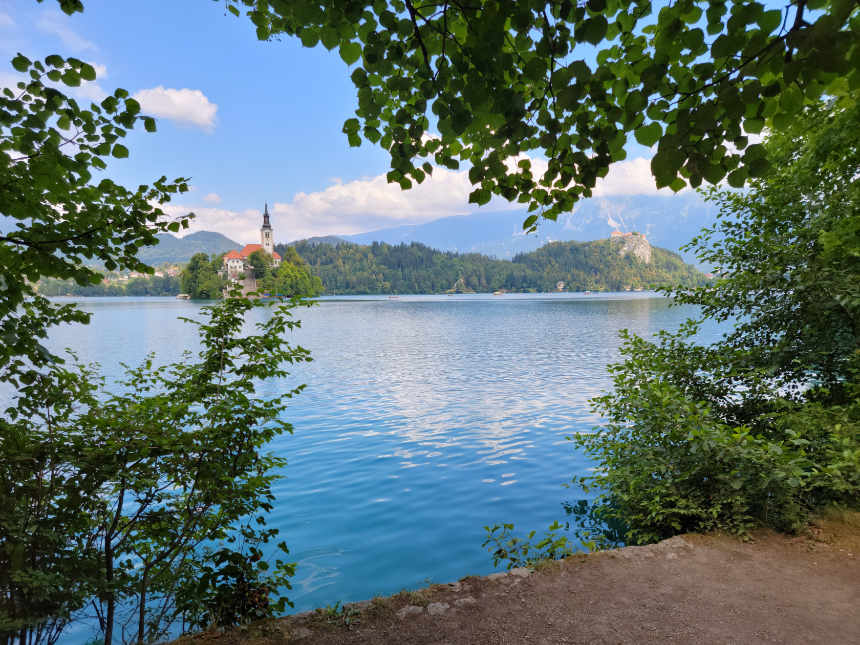
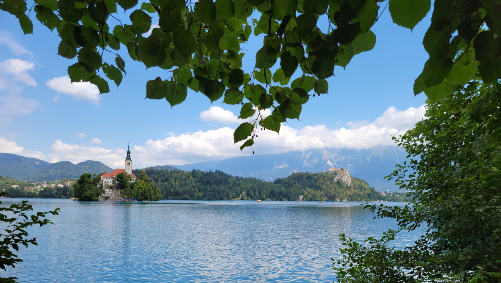
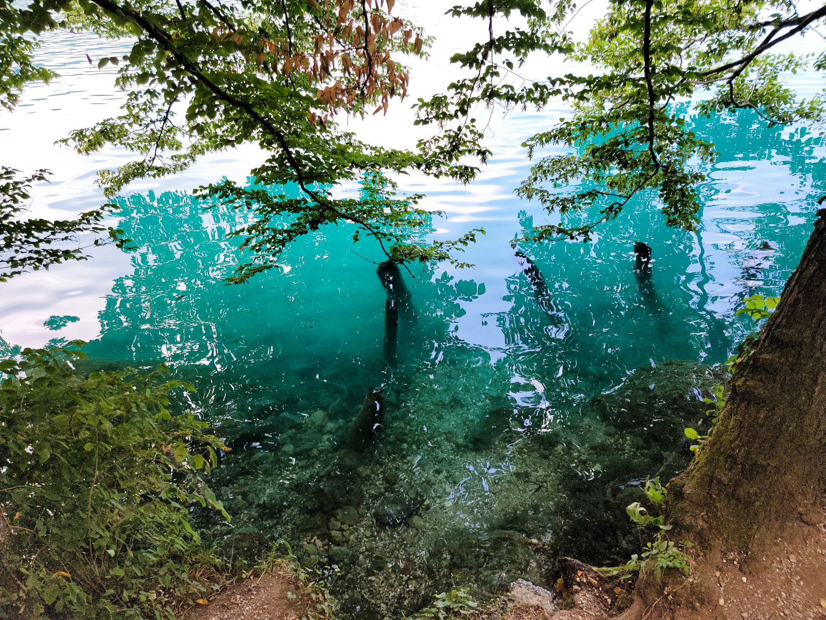
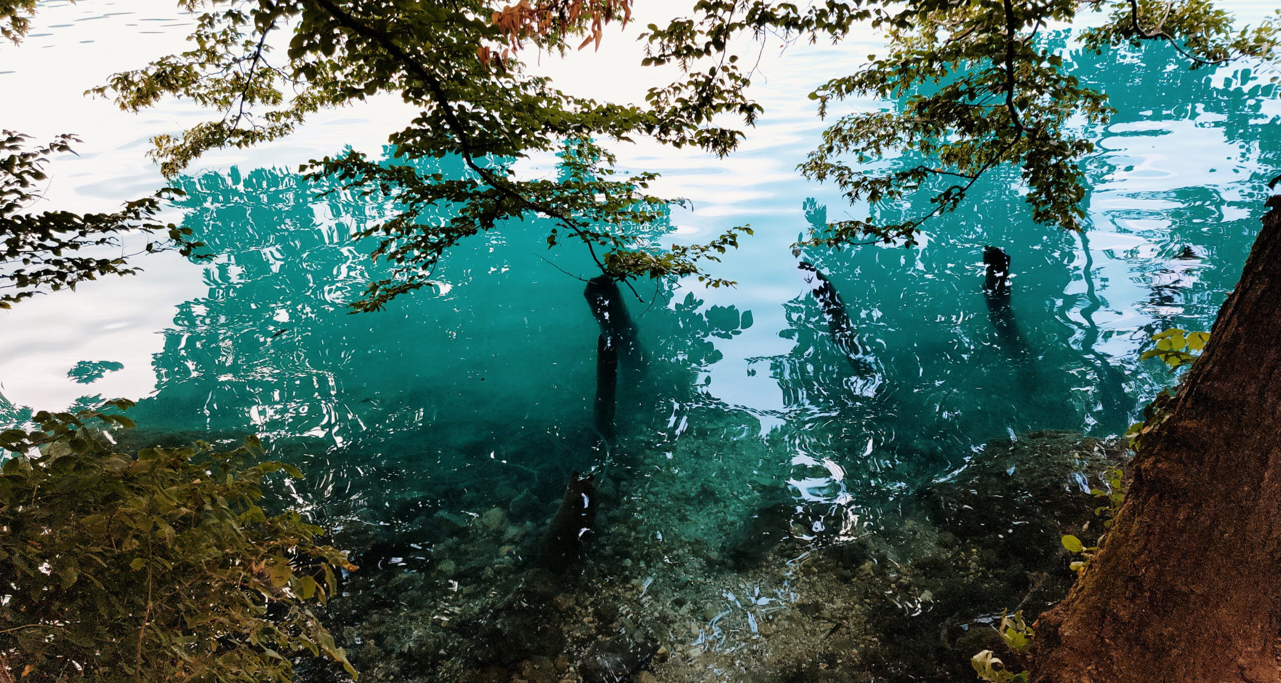
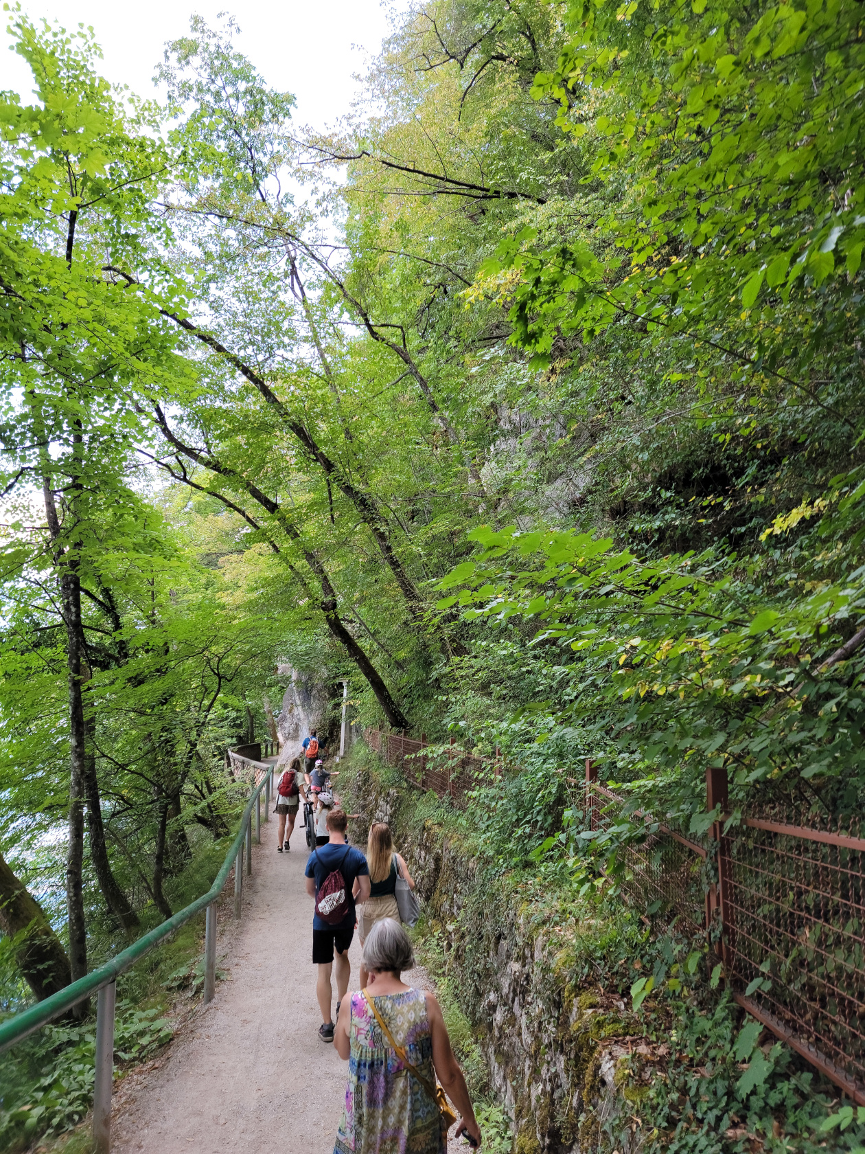
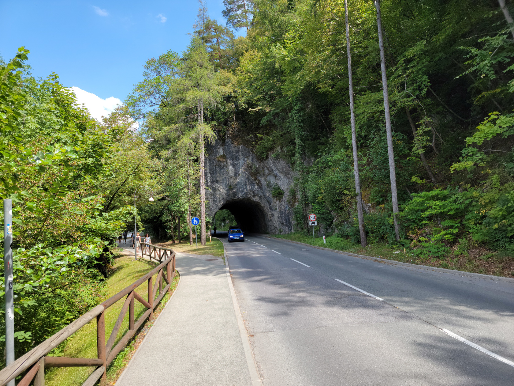
Lake Bled – The Trail
There is an excellent trail that totally circumnavigates the lake, going through several tourist beach and cafe points, any one of which you can take a pause in your walk to get refreshed.
Here is a slideshow of our great afternoon walking the lake shore trail, enjoying the beautiful weather and scenery.

Restaurants
Hotel Starkl Restaurant
Around 12:30 or so we stopped about three quarters of the way, going anti-clockwise around the lake, at the restaurant Hotel Starkl. It is best to get to any European tourist restaurant thirty to forty-five minutes in advance, because at one o’clock they fill up quickly. Here we purchased simple salads and enough wine and water to enjoy the fabulous weather.
References
| ↑1 | They are additionally known as the Julian Alps. |
|---|
Borgo Po, Turin – Hiking Giacomo Leopardi and San Vito
Hiking in Turin
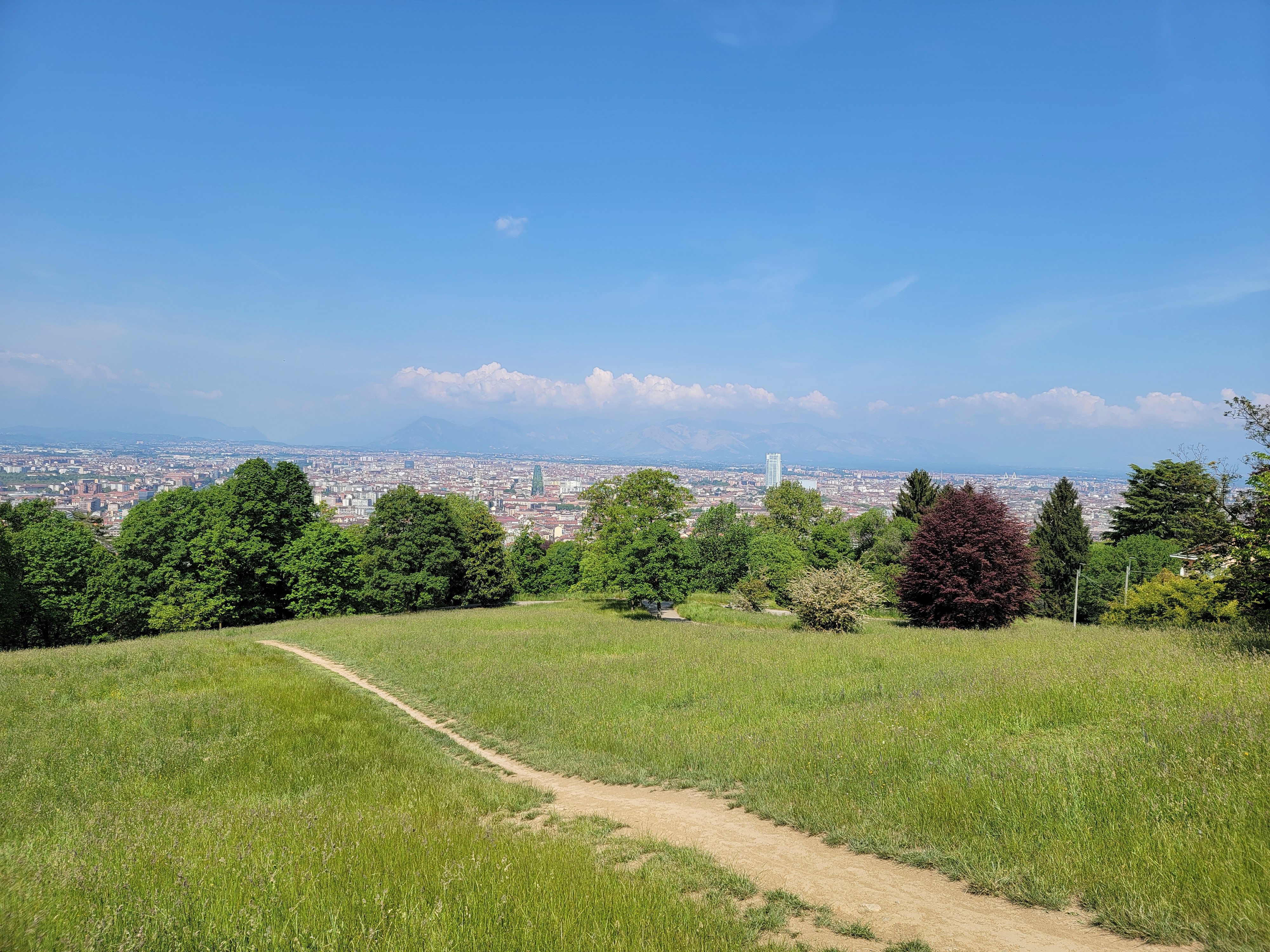
Usually when visiting one of Italy’s best kept secret cities, you would think that there wouldn’t be much to do for the outdoors enthusiast. But nothing could be further from the truth. Turin has a wealth of parks sprinkled throughout the city. Most are for casual pleasure, walking the dog, strolling the baby carriage or just a good jog.
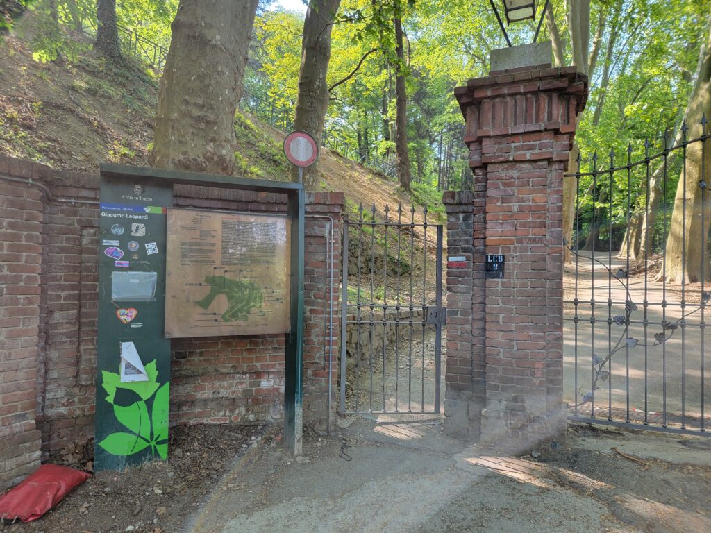
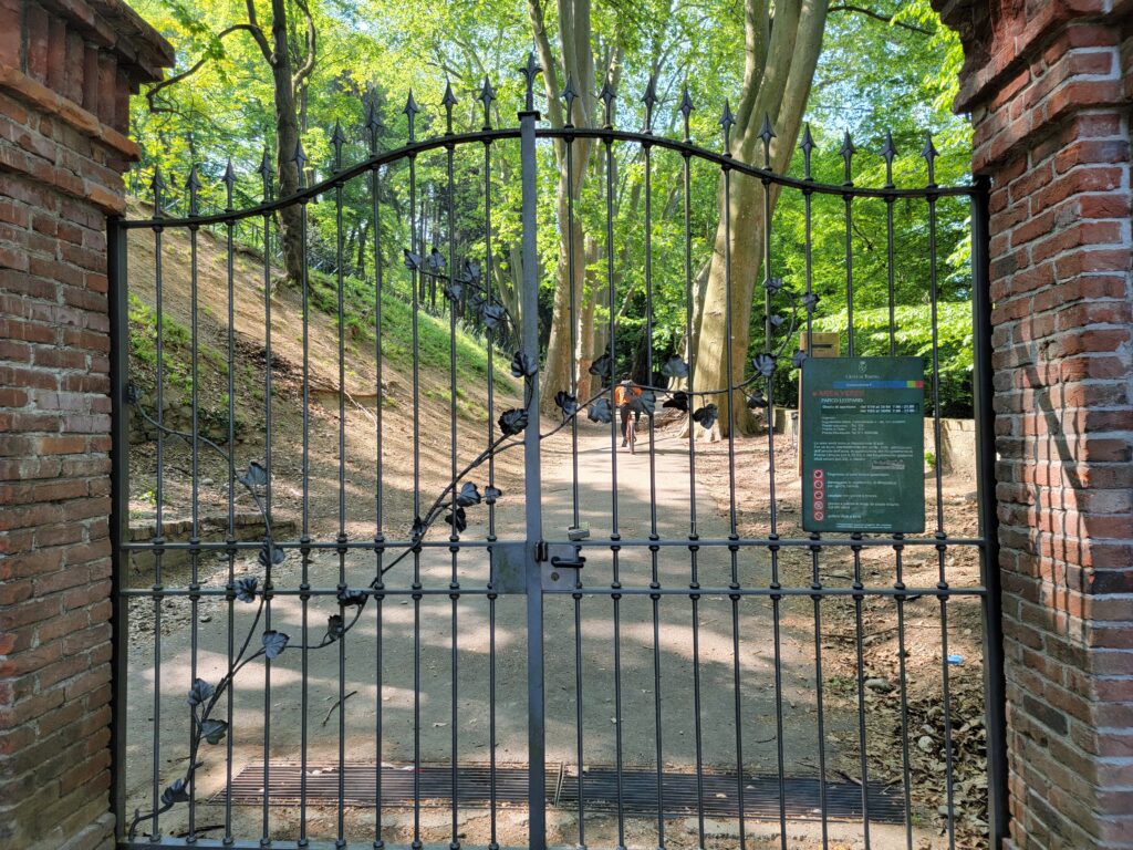
However, just a short mile and a quarter walk from our apartment in Turin is the entrance to Giacomo Leopardi Park. Here one can find a real hiking adventure, if you are so inclined.
Giacomo Leopardi Park
Once accessible via car, it is now only open to the public via the pedestrian access and can be entered by casual walkers, hikers and any cyclists willing to dare its steep slopes.
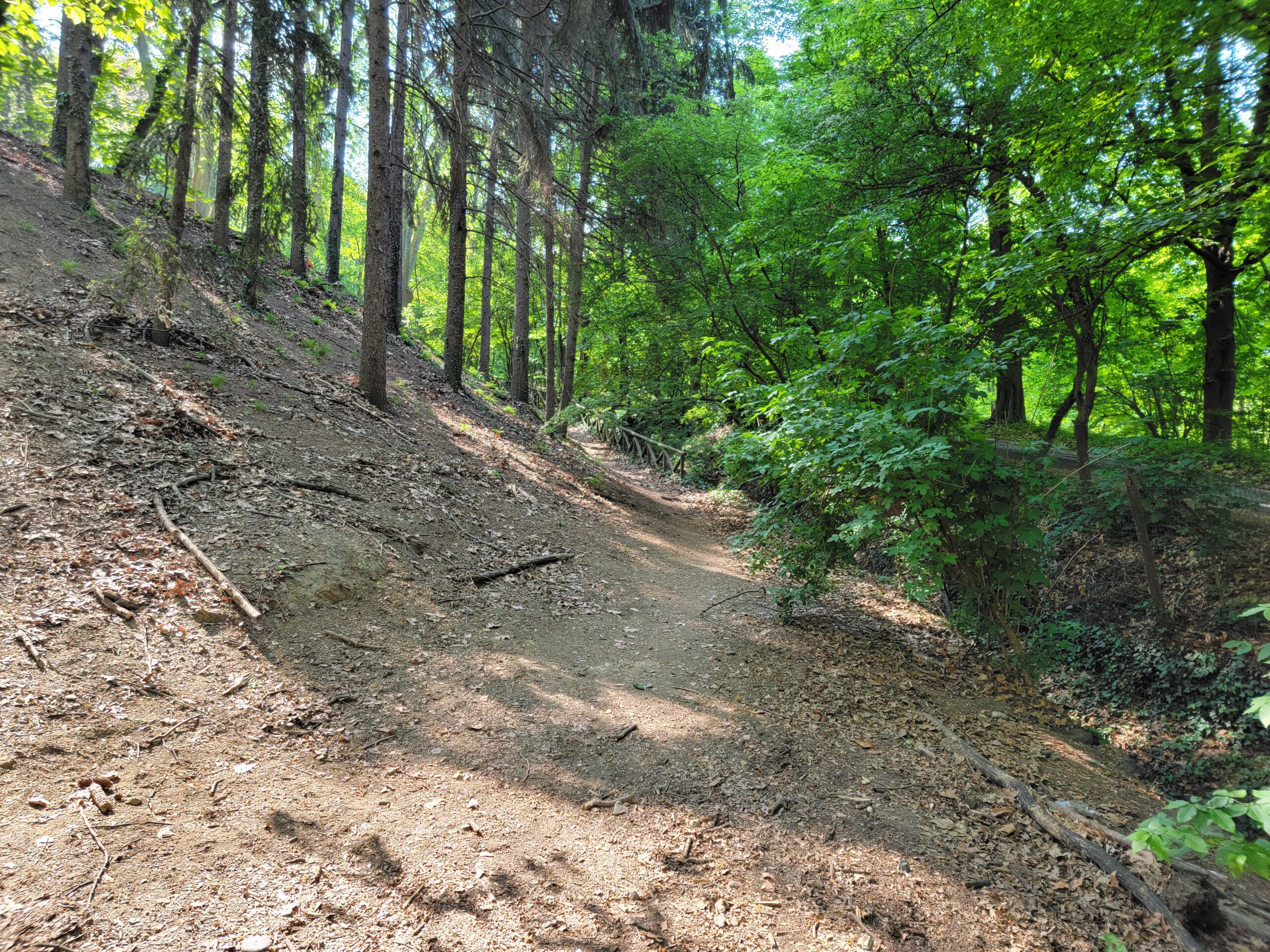
The park still maintains a roadway that may be walked, but for the more adventurous, there are several hiking trails that take a more direct route upwards.
Our initial thoughts were to make the entire hike up to Mount Eremo, visiting the Parco di San Vito along the way. However, Alltrails Pro, the portable phone application we use, gives only one value, instead of a range, for the length of time it might take you to reach your goal, which of course may not fit into your body’s aerobic or fitness calculus. So you may want to add additional time to any of the ‘moderated accepted hikes’, in order to account for any stops, water or photography breaks.
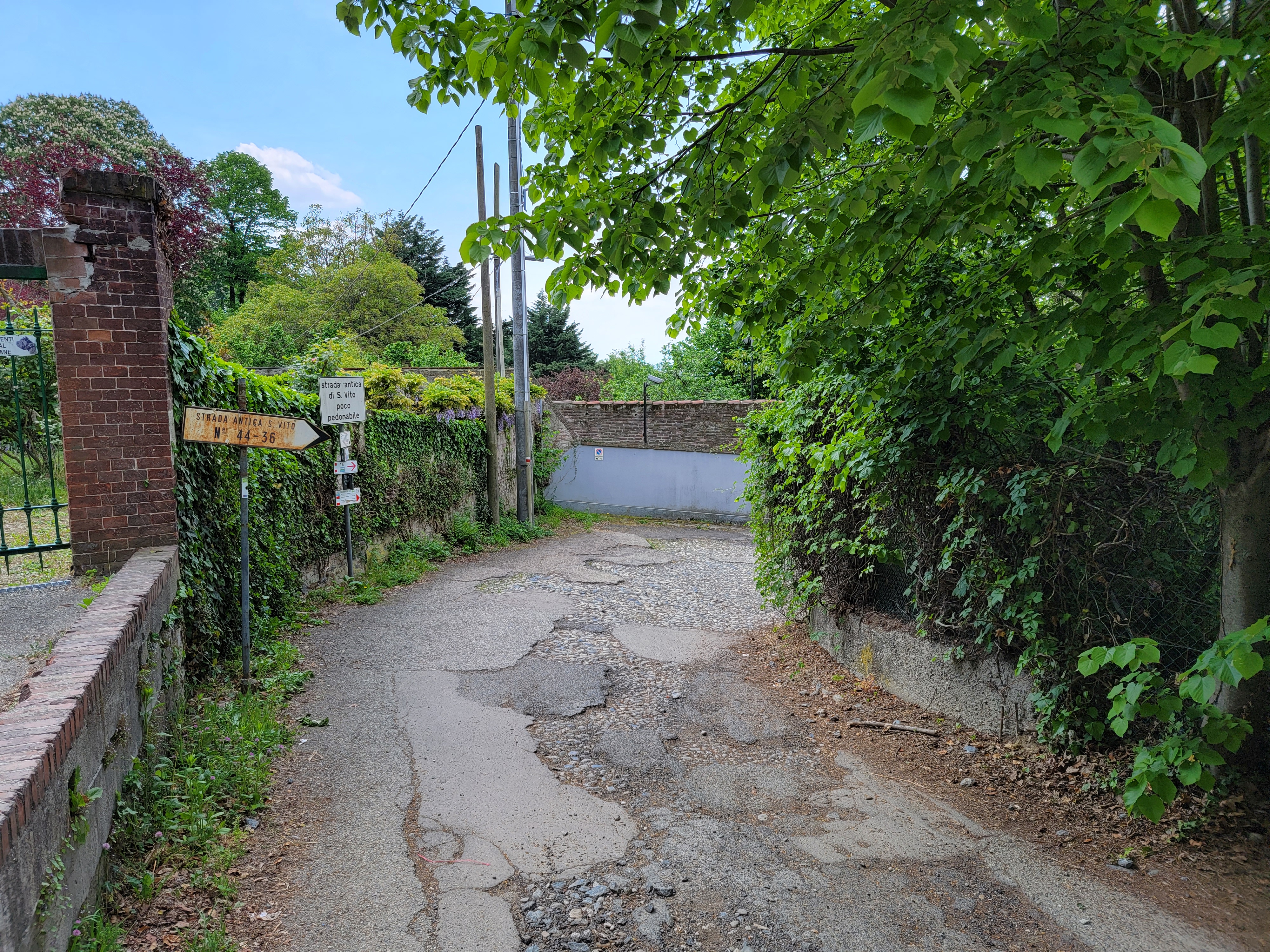
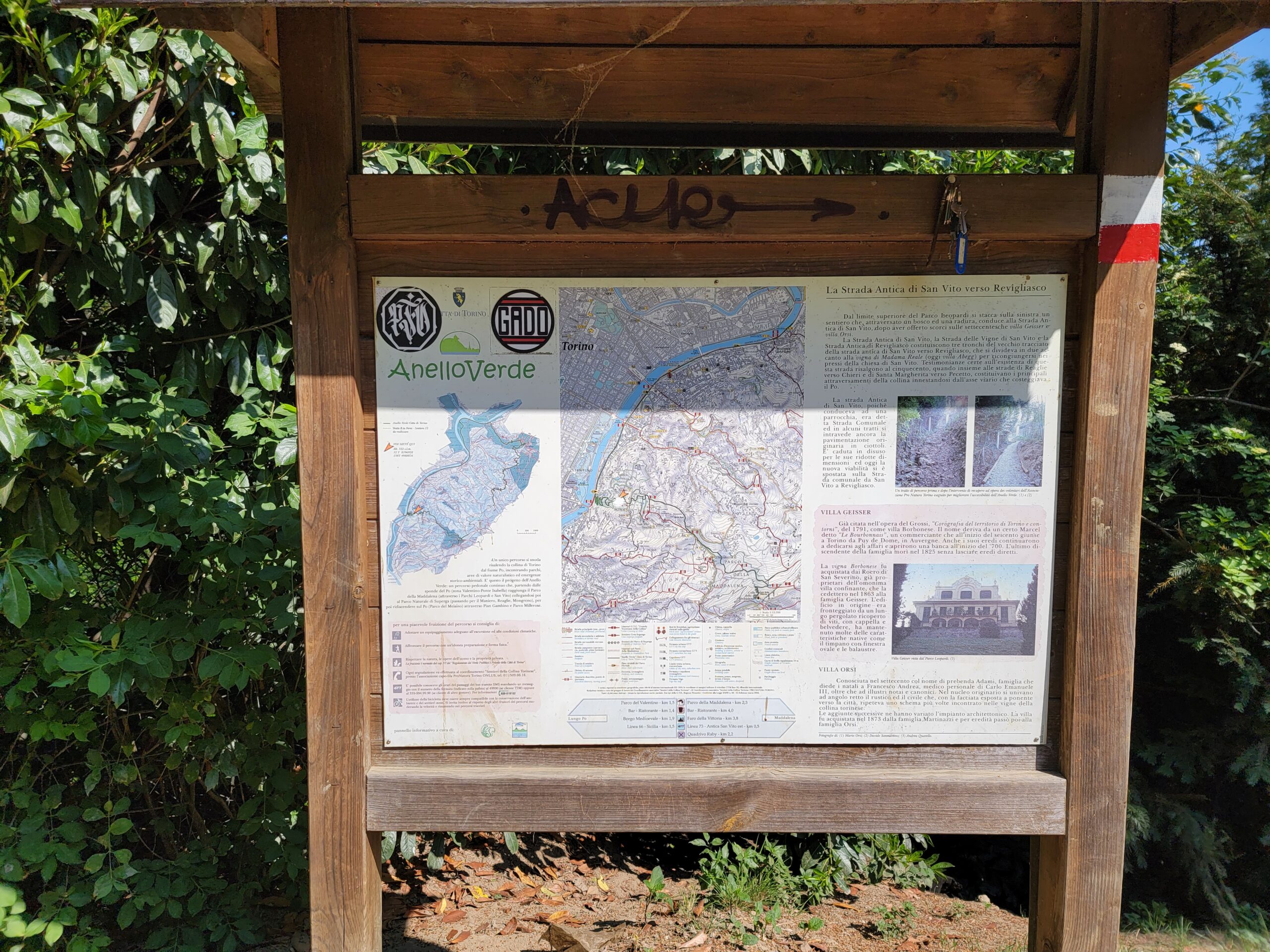
The link between this park and the next one, Parco di San Vito, entails some roads and real hiking.
San Vito Park
You will find the Parco di San Vito about a third of the way up to the Colle della Maddalena, or Mount Maddalena.
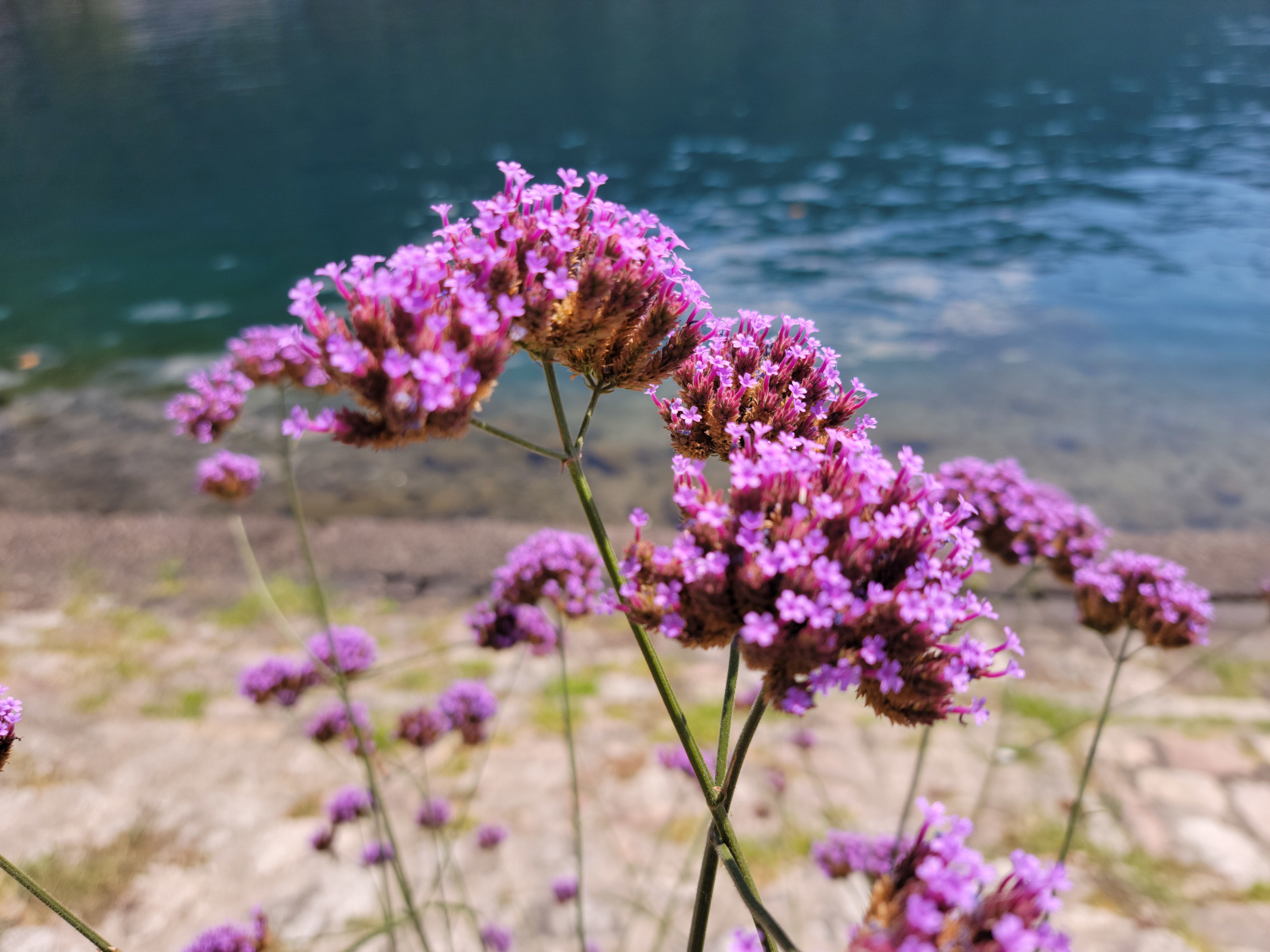
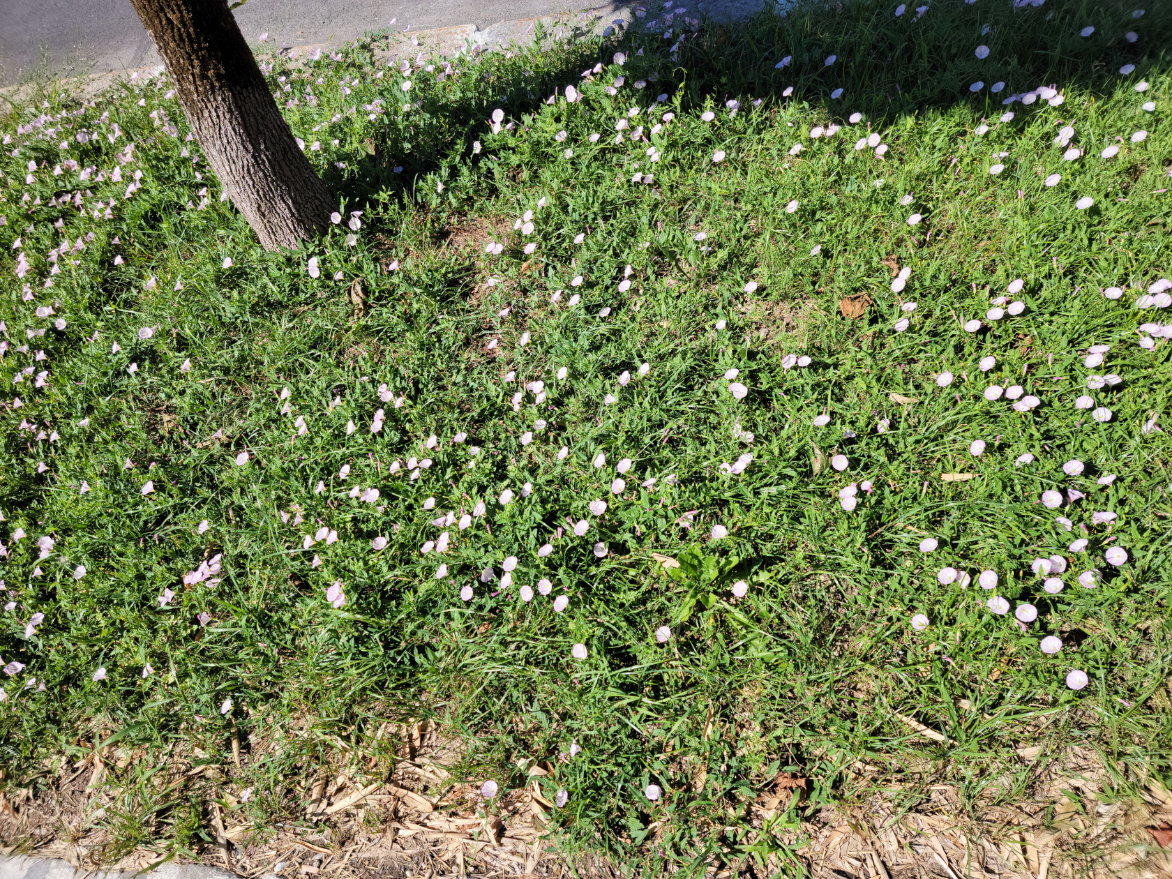
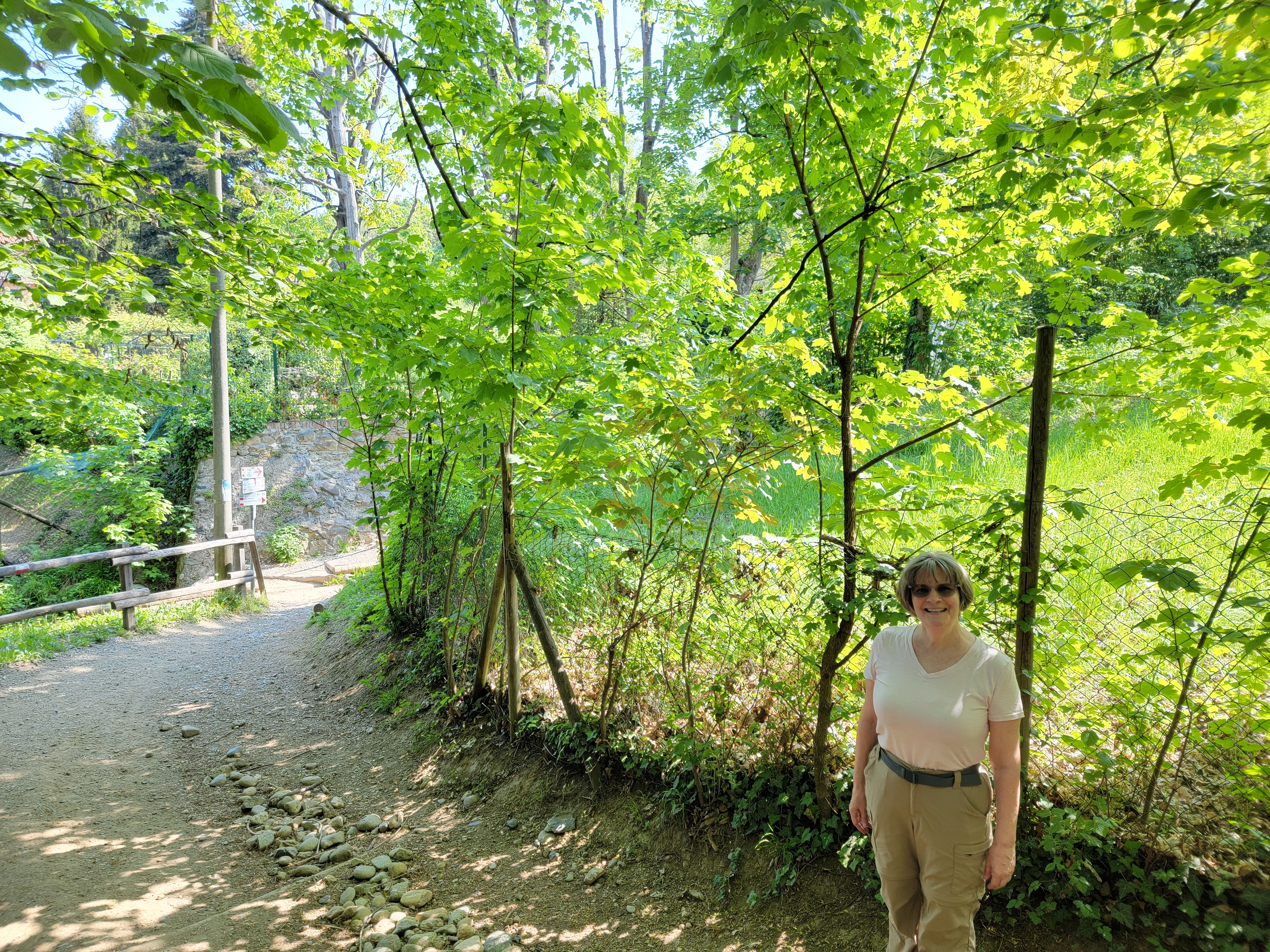
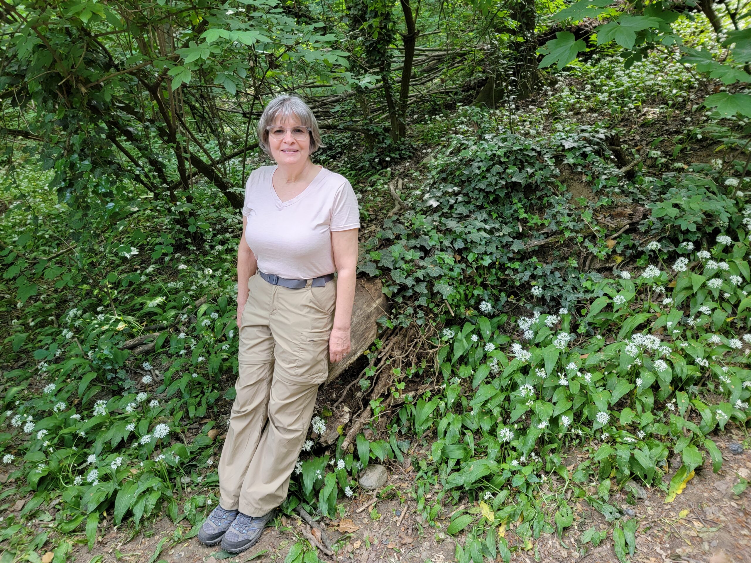
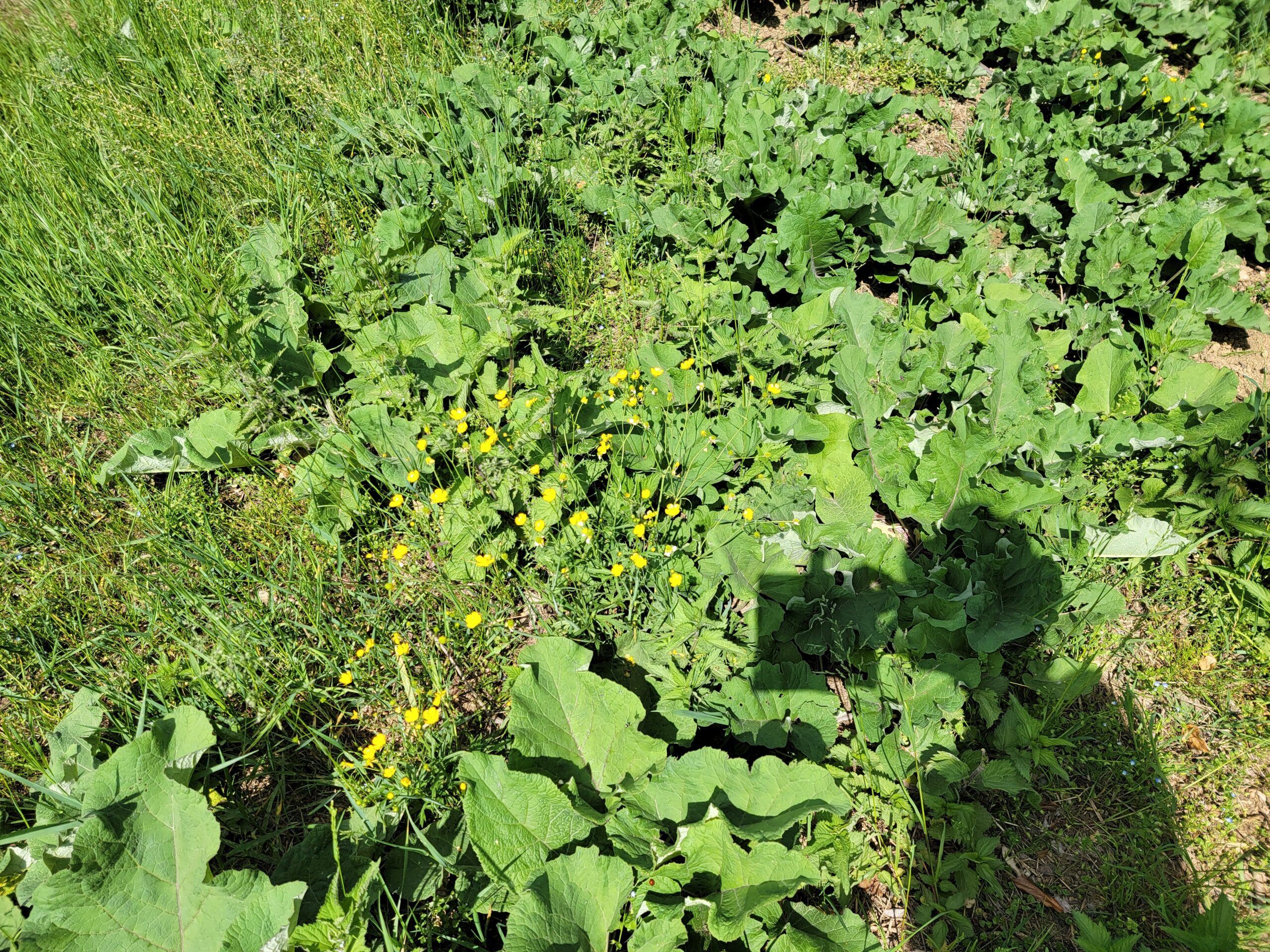
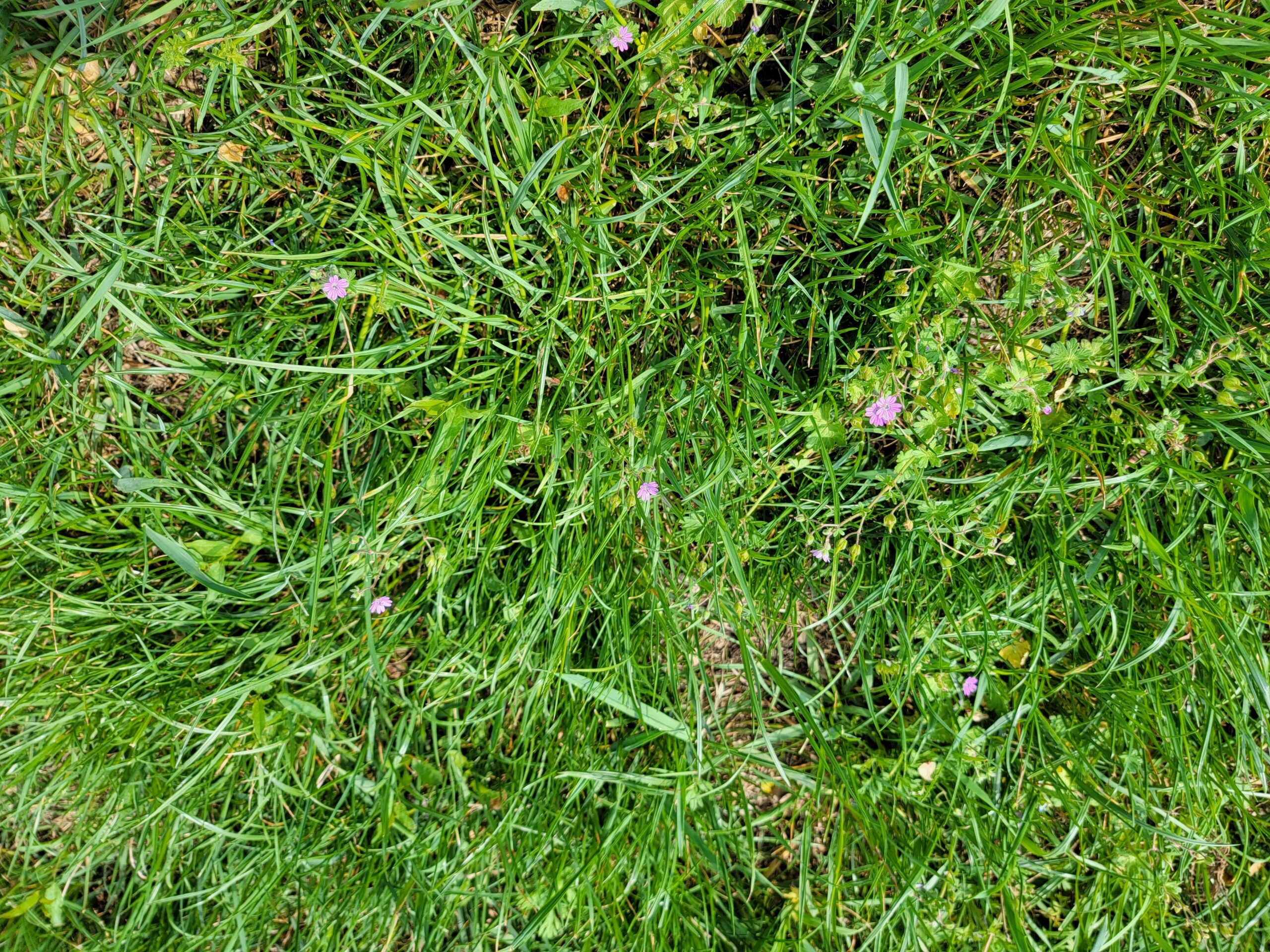
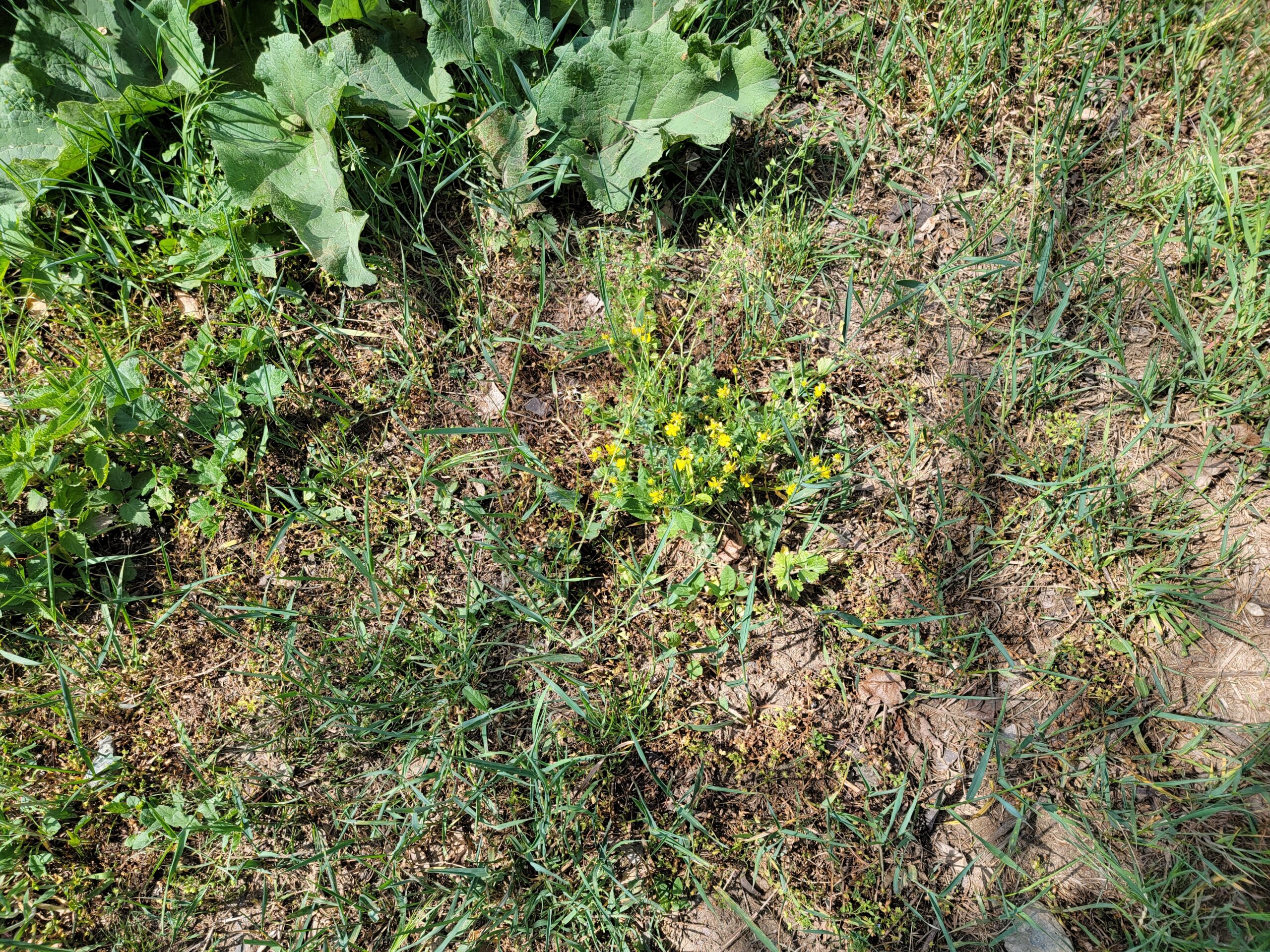
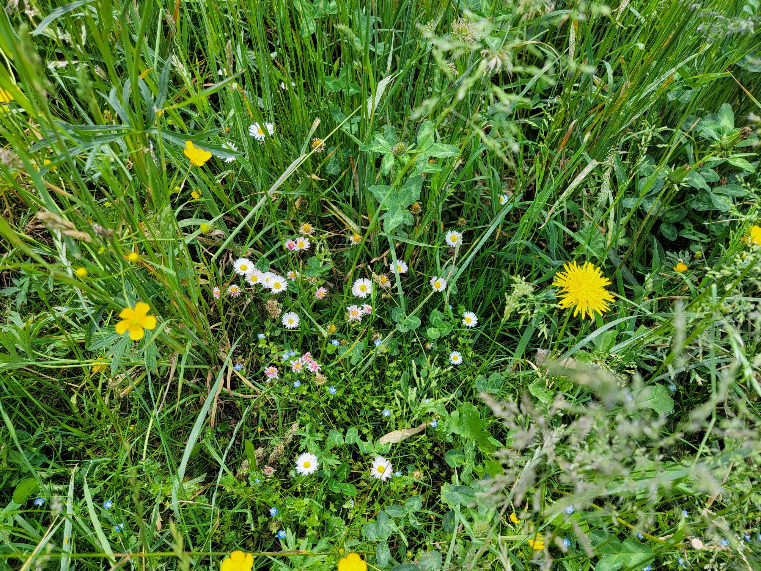
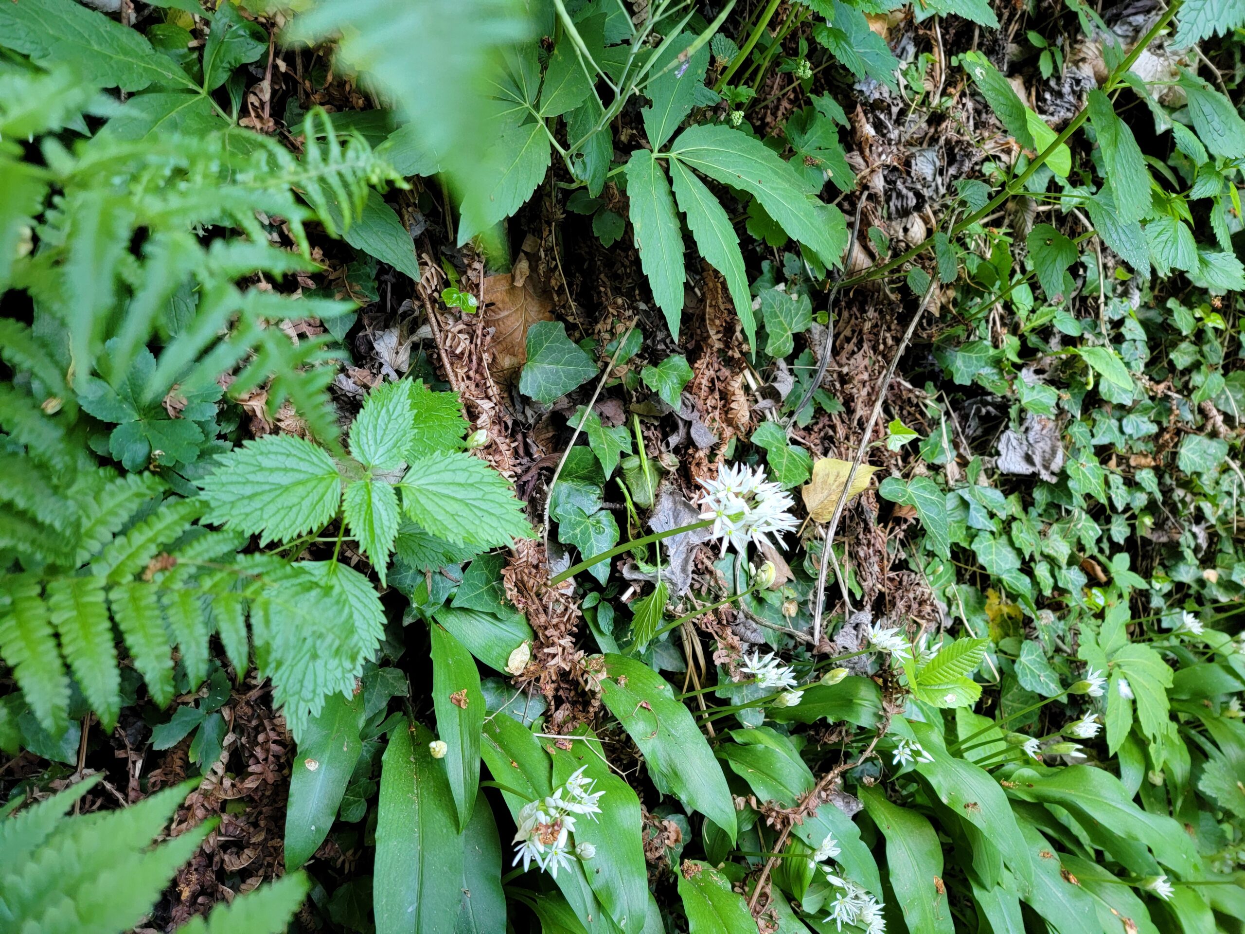
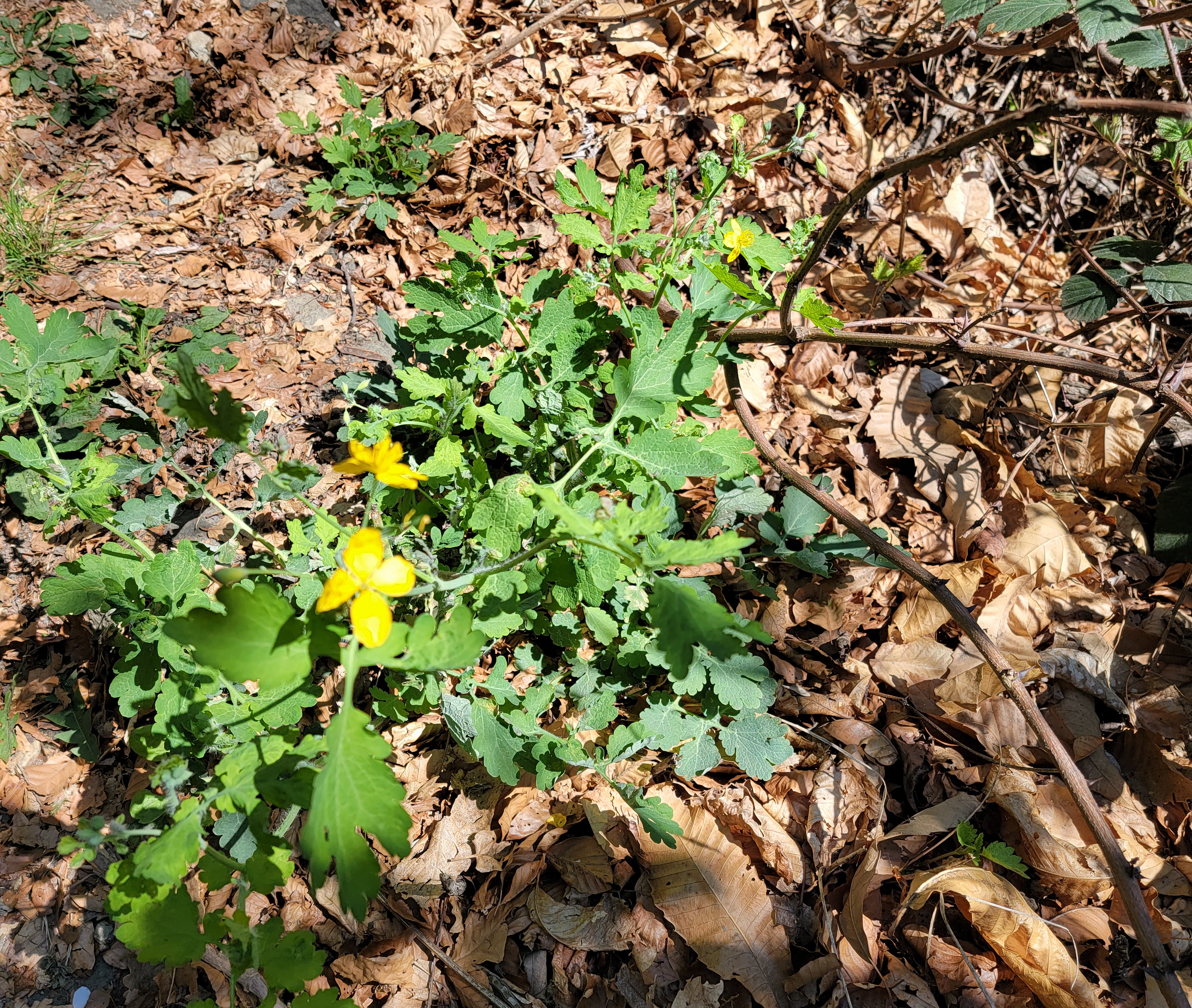
One of the amazing things about Turin, and Italy in general, is there willingness to not poison everything. Unlike America, they do not run out and get a can of weed killer or herbicide when something springs up that does not look like a sanctioned type of grass. Hence, the fields at the park actually have many types of wild flowers, bees and crickets! So do not expect dead silence when hiking here, like you would in most city parks in America.
After this park, we hiked a bit further up the mountain towards a small picnic area located on the map. Our plans after two hours of hiking modified somewhat, since at this point we were only halfway to our original destination.
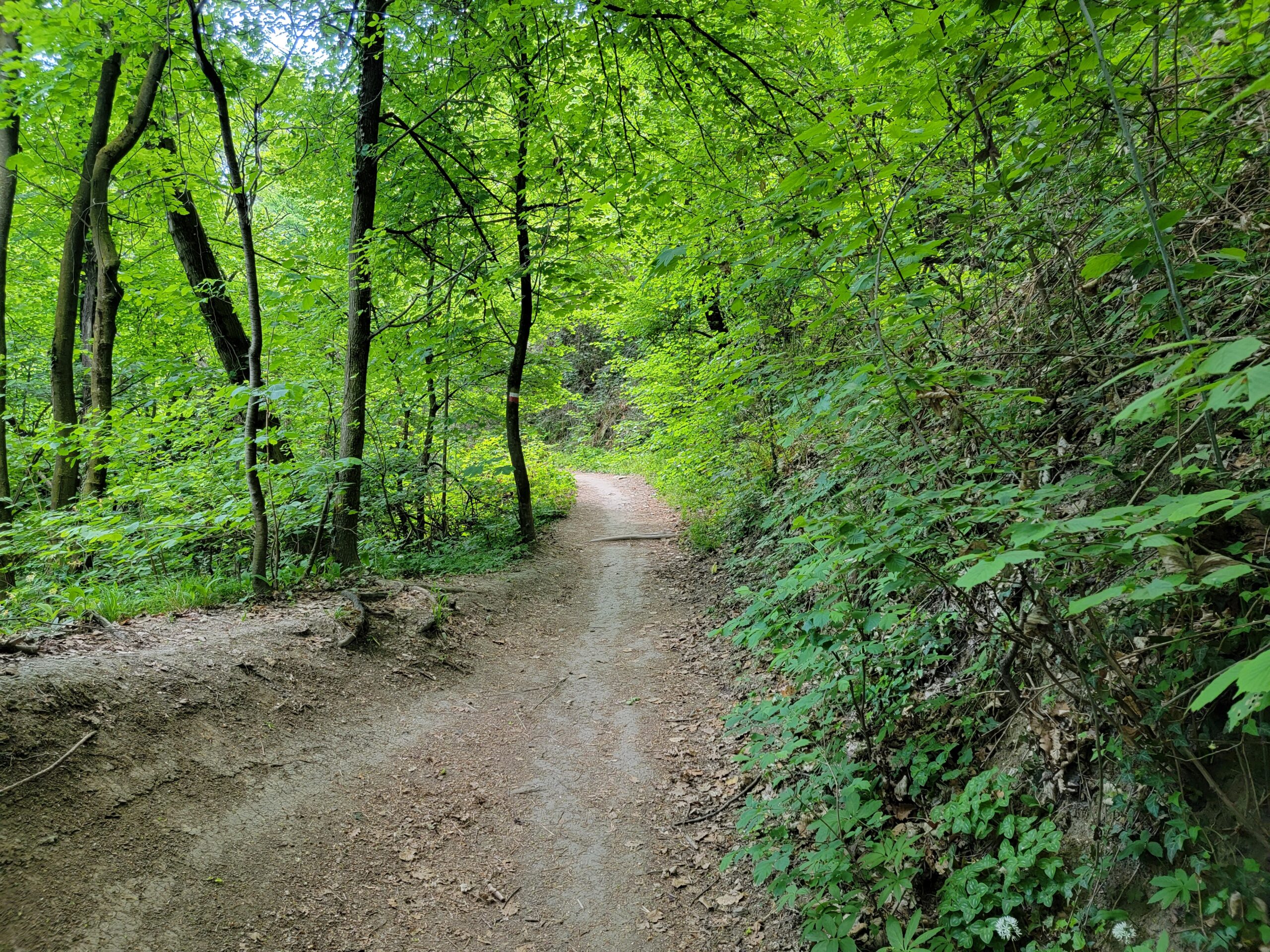
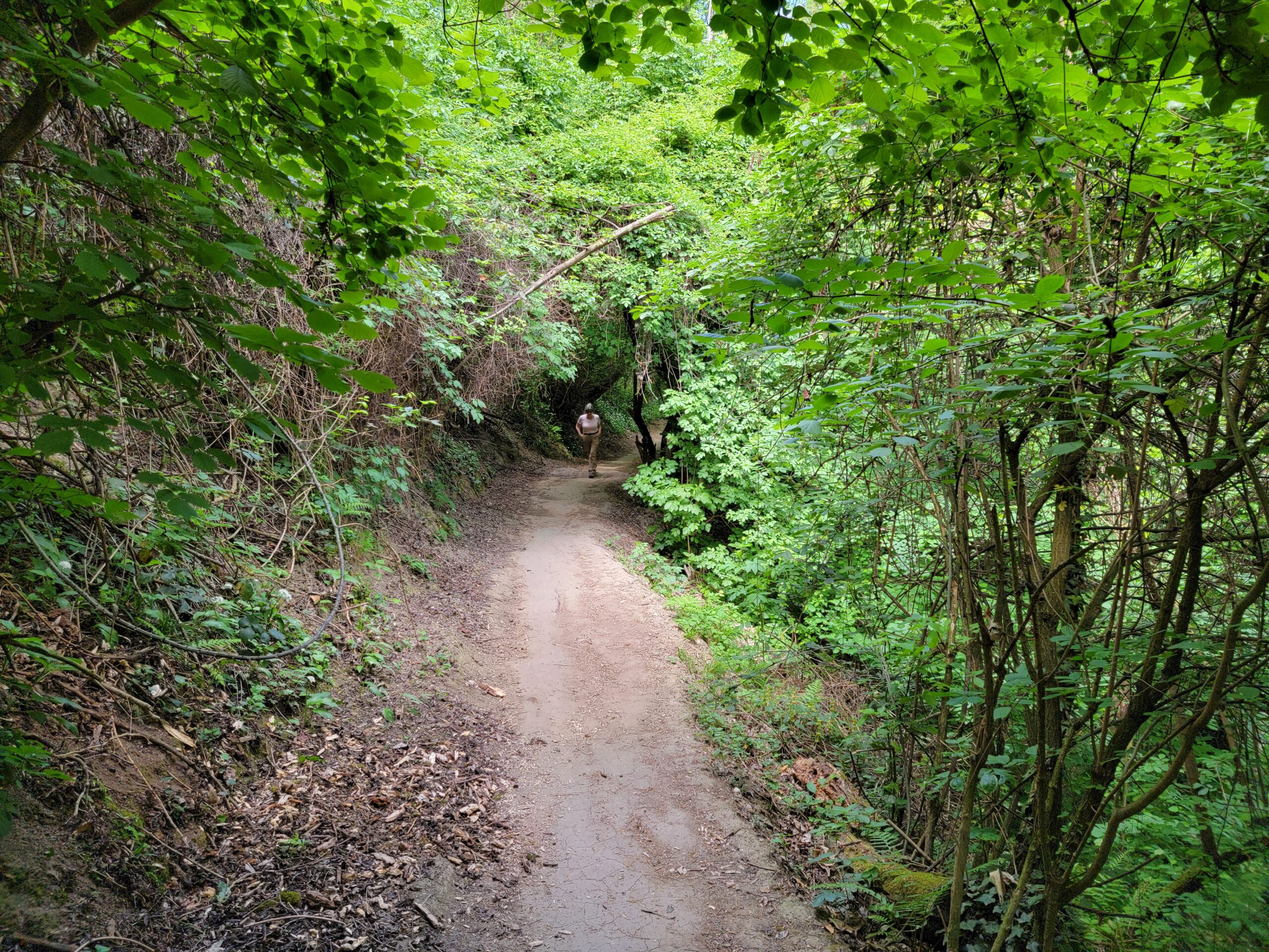
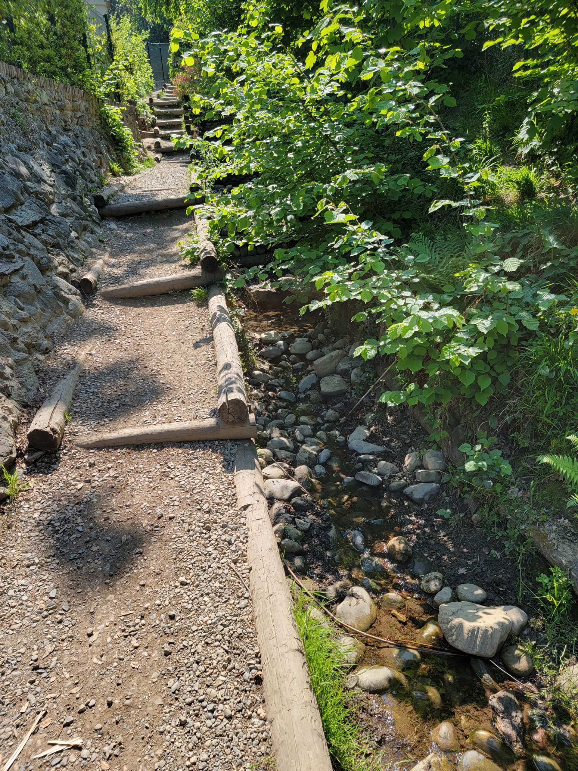
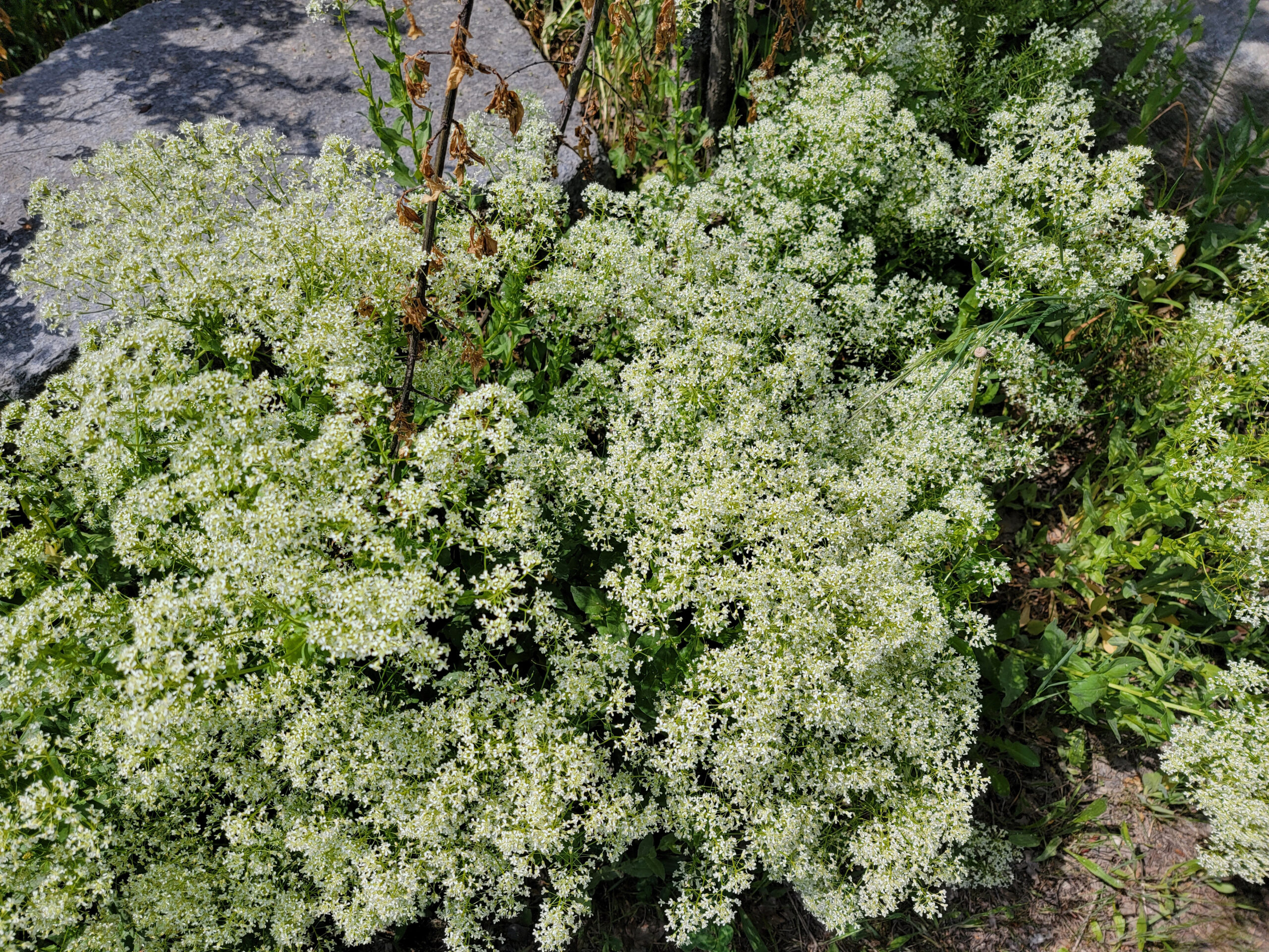
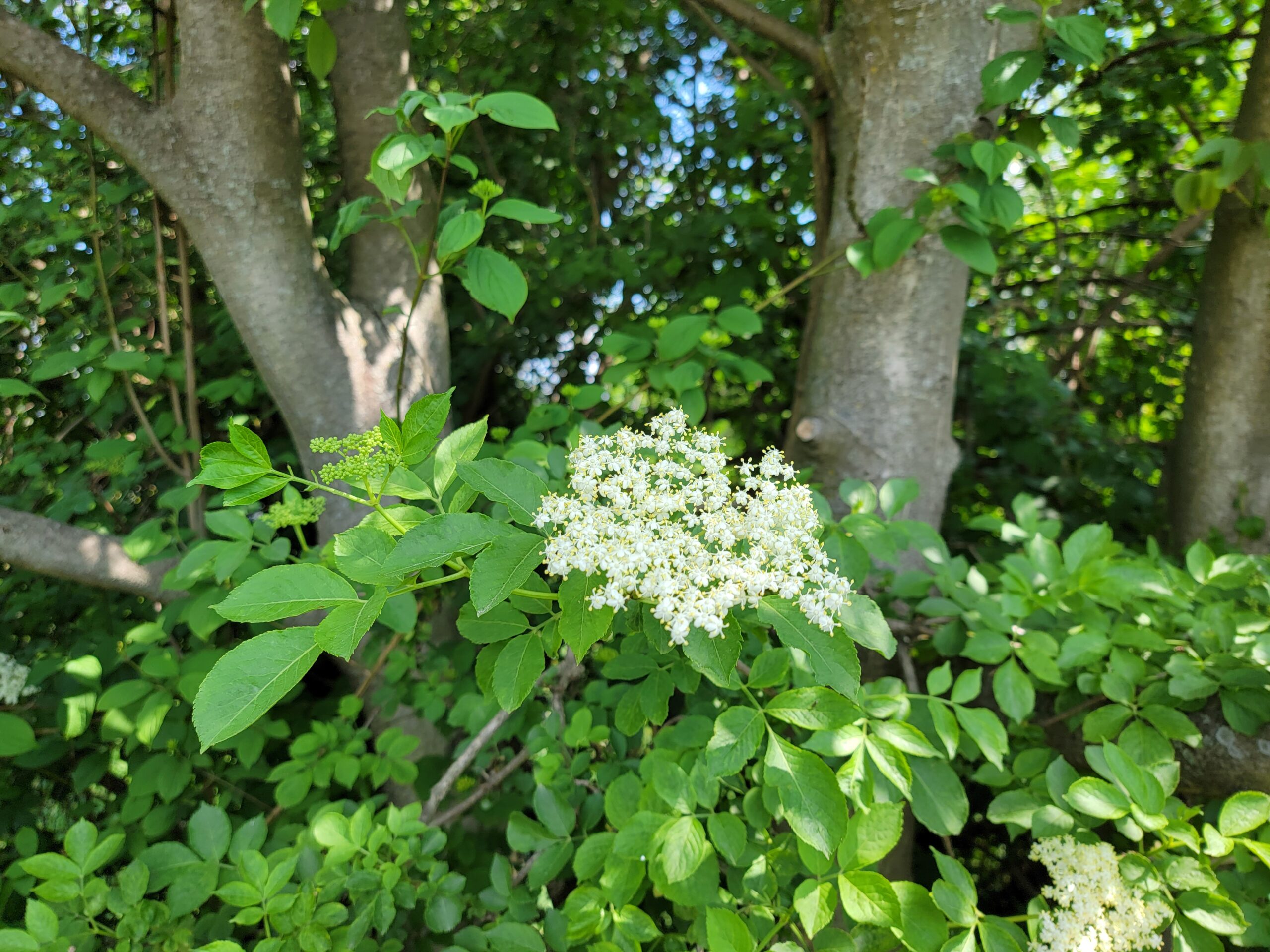
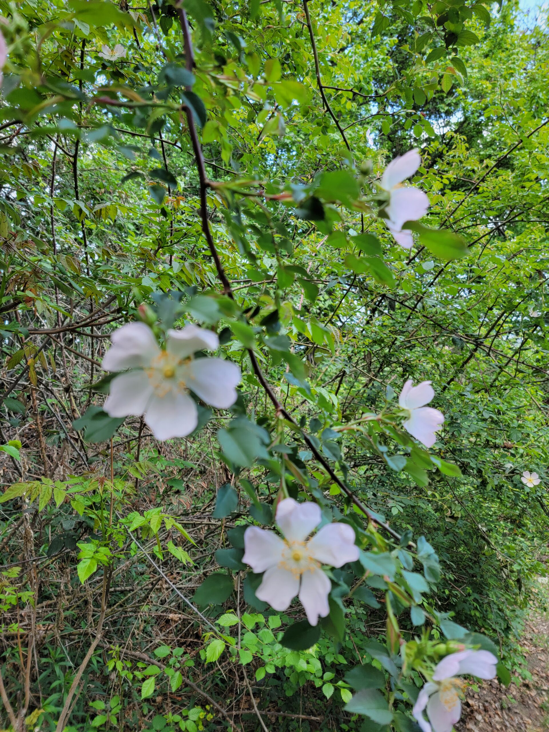
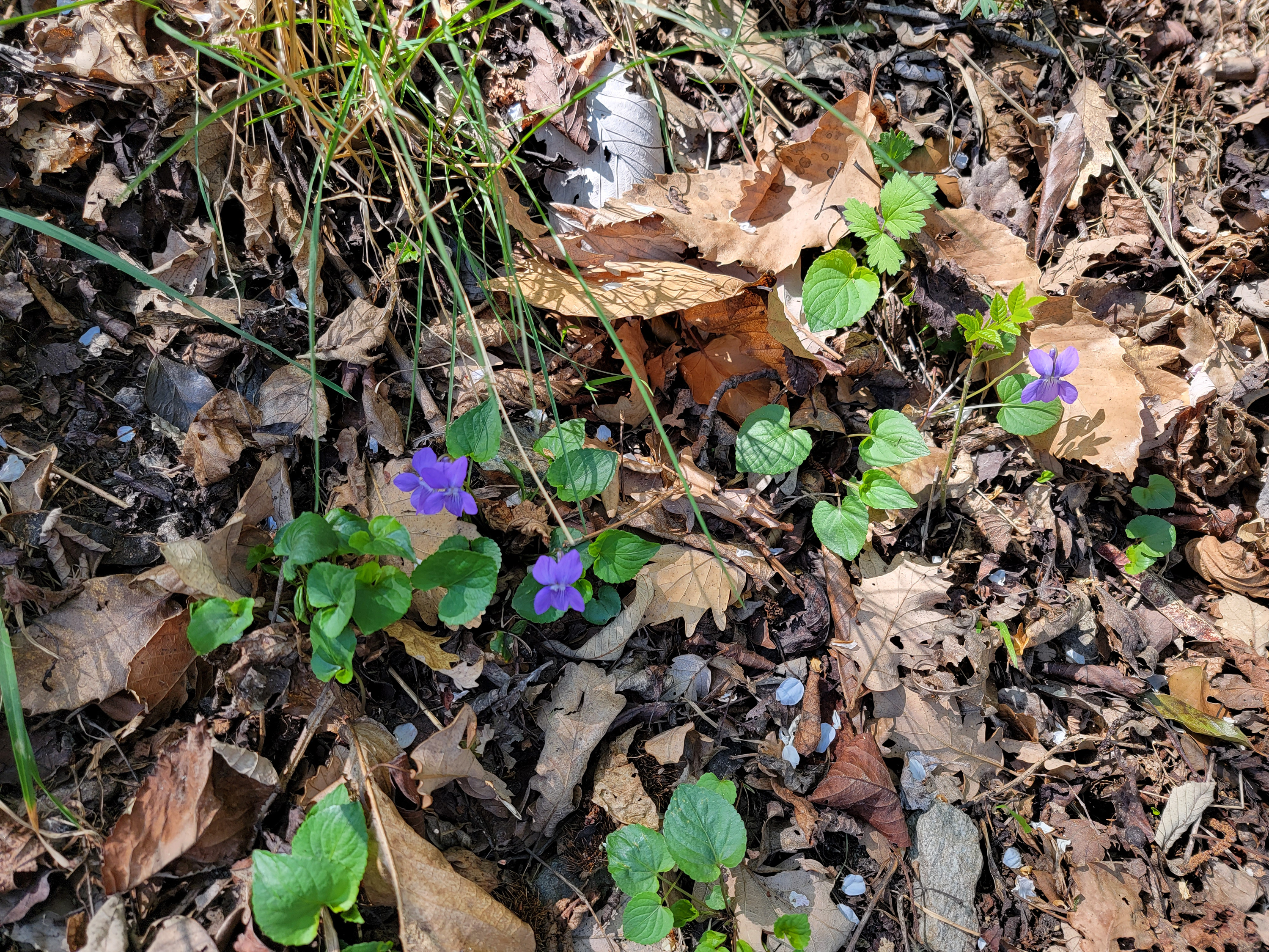
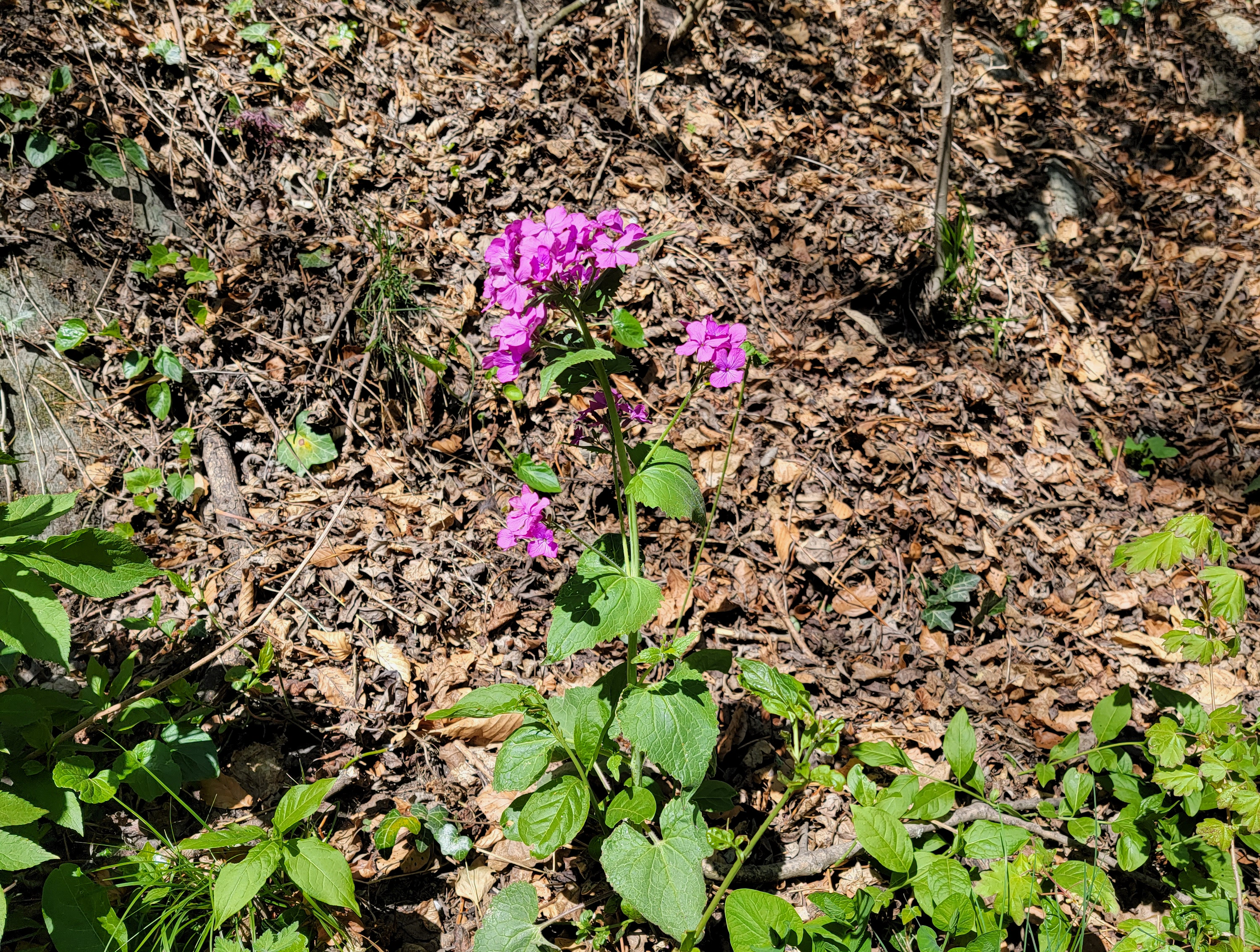
The trails up through this stretch of woods were a bit more undeveloped and natural, the floor of the woods covered with different flowers.

The hike through the woods continued for about another three quarters of a mile or so, and we were thinking of modifying our plans for the day.
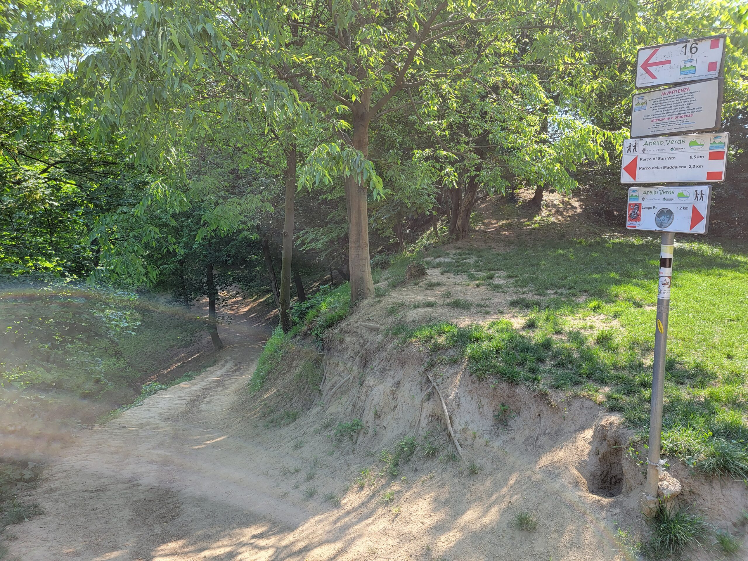
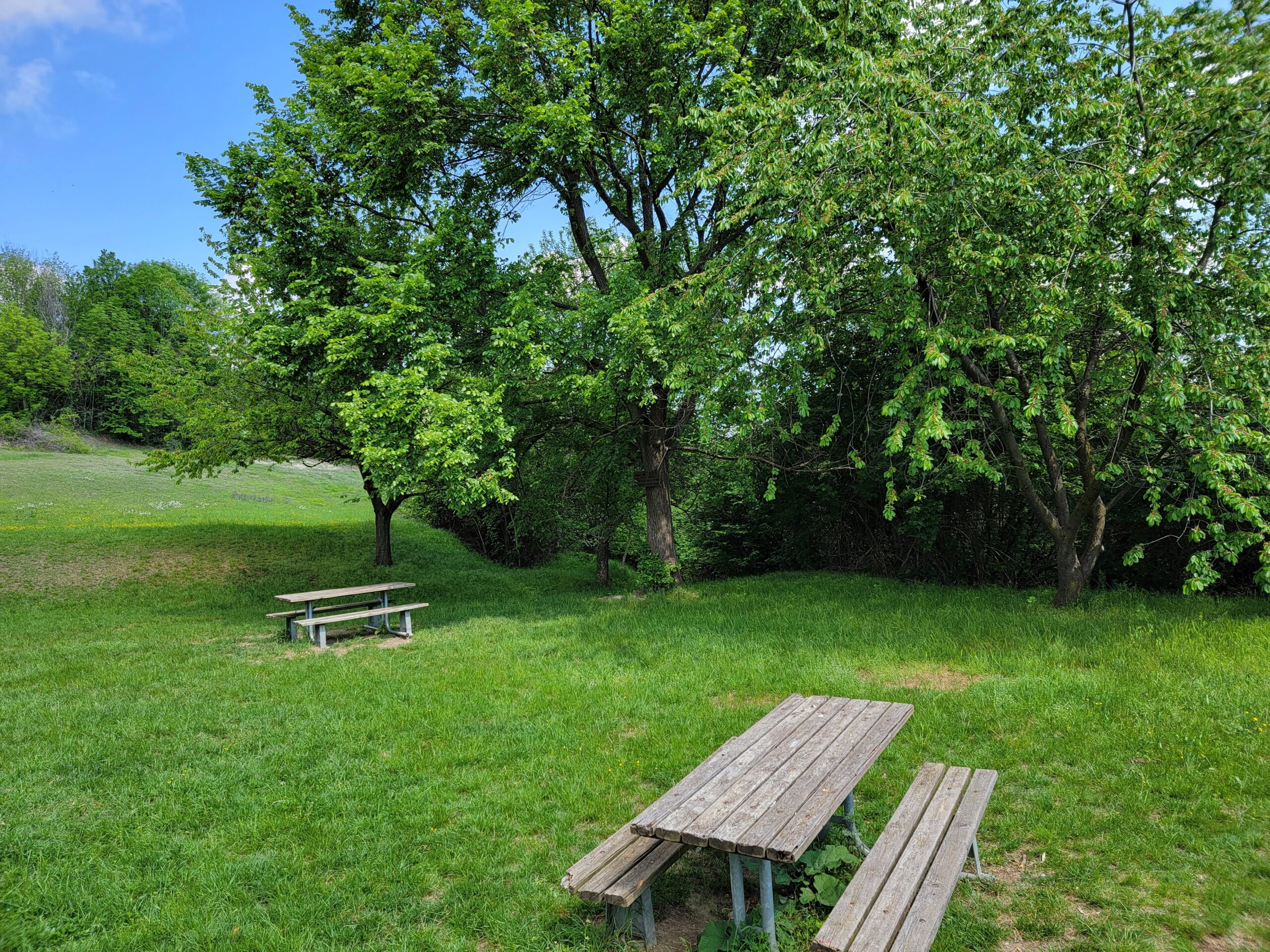
Picnic Area Bert
After coming off the trail and turning around a bit on Quadriva Raby, you may head back and get back on the trail from Cascina Natura Pro Natura. A small picnic area on the side of the hill with a small field, some facilities if you are inclined and a picnic bench for lunch, or just a drink of water and a cliff bar.
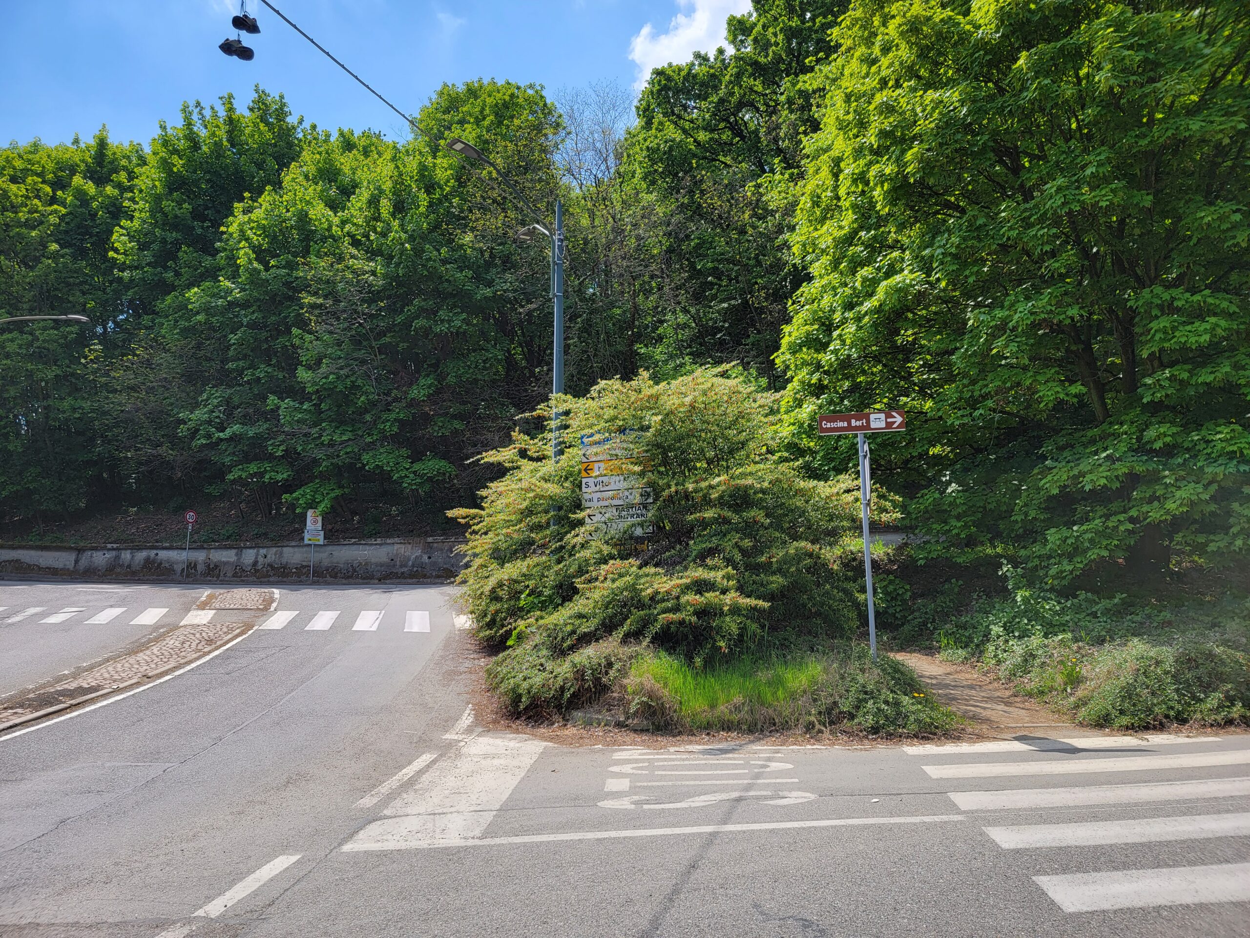
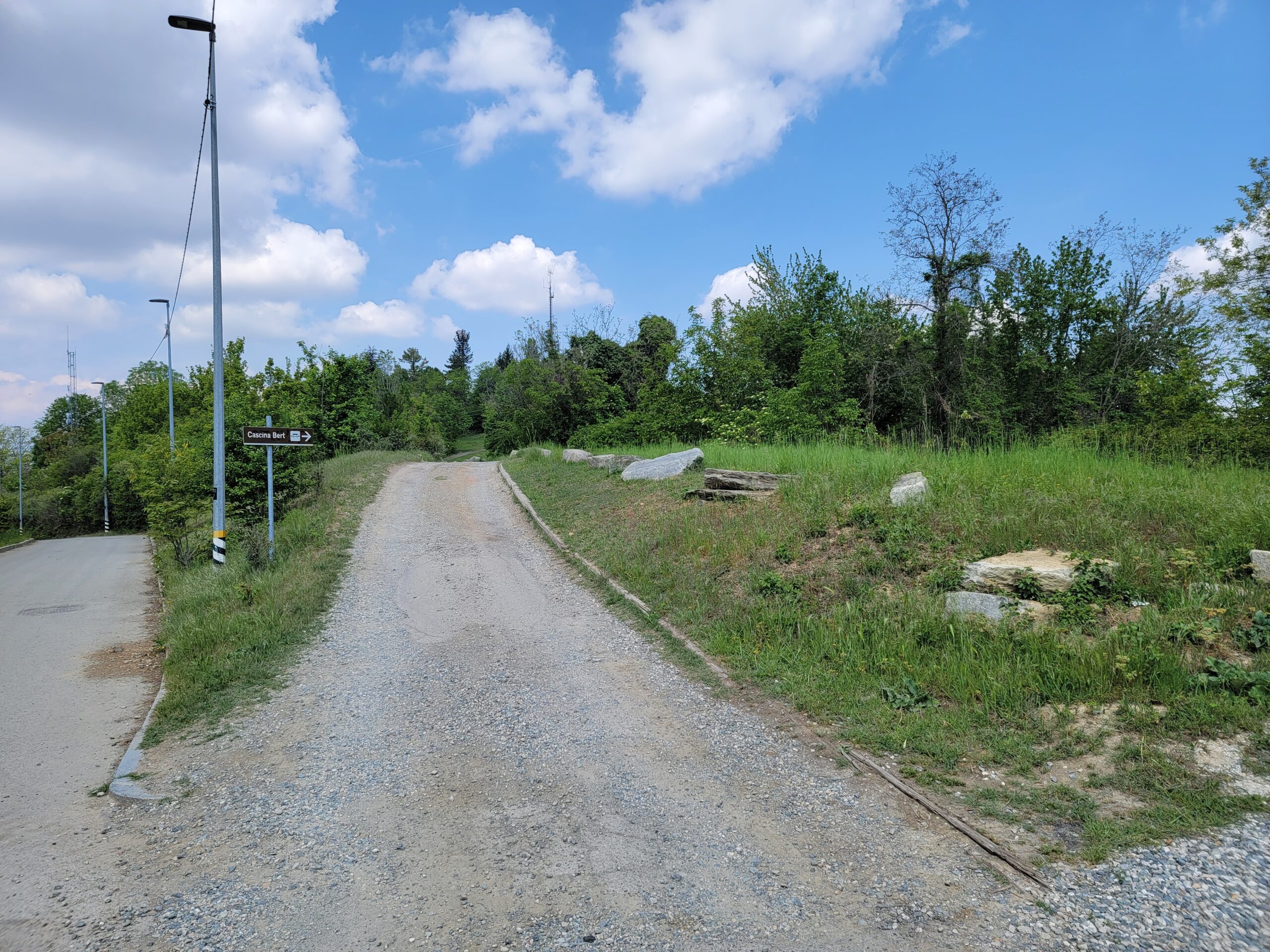
The trail head down is located just to the left of that last picnic bench above. A marker can be found on the tree. However, if you miss this, there are signs and a map by the parking lot and buildings that are over to the right.
Bird Song and Fifteen Seconds of Calm
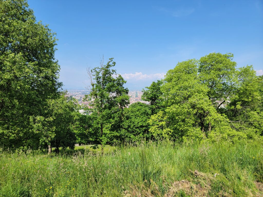
This is actually an amazing hike and you will find yourself stopping frequently just to enjoy the quiet and being out of the city for some respite.
Upon returning to Turin after about three and a half hours of hiking bliss, we took some shortcuts and discovered to what extreme Turin is willing to let some things go natural. Just goes to show, without humans around just how fast nature is willing to reassert itself.
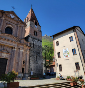
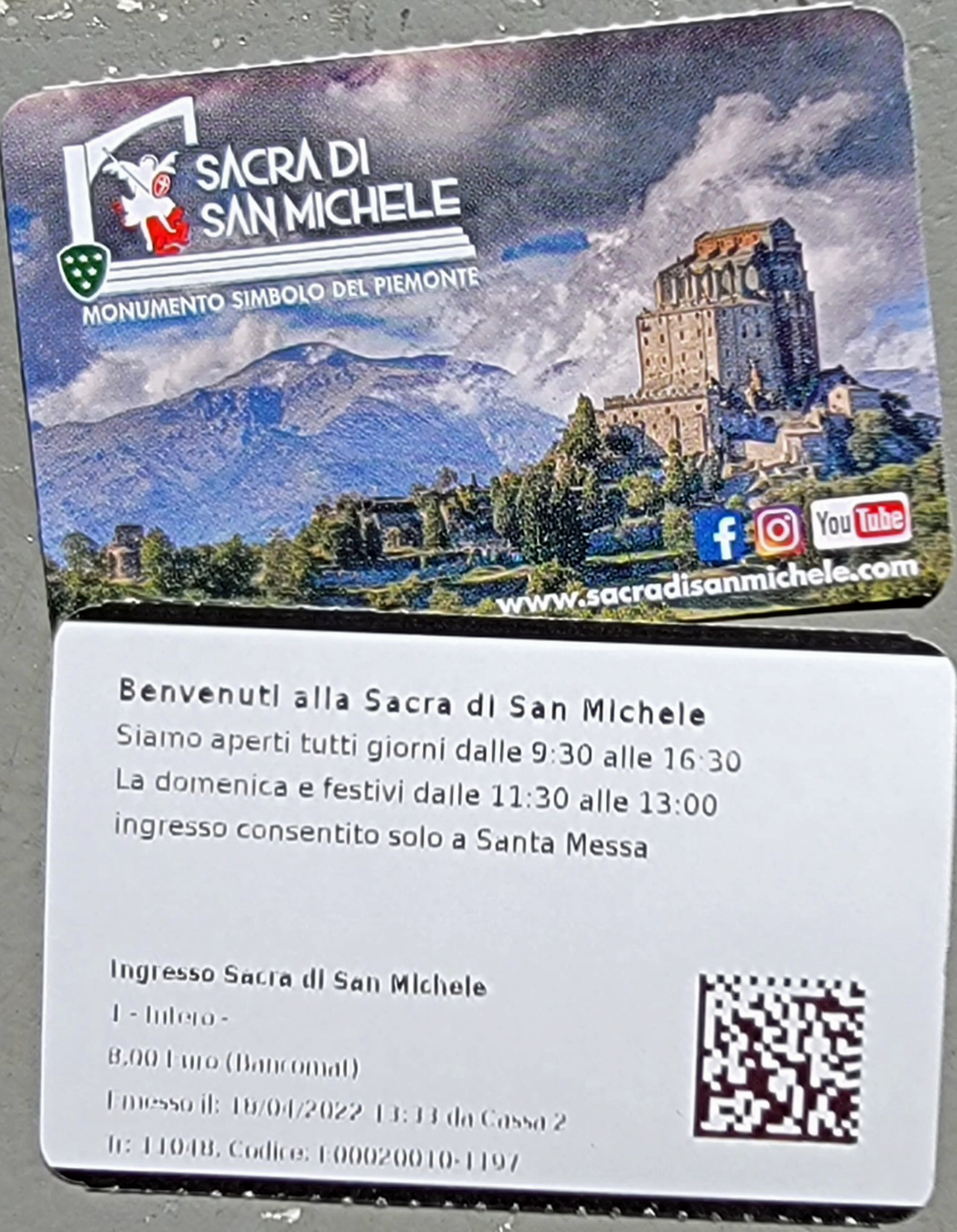
Sant Ambrogio, Turin – Sacra di San Michele
A Sacred Vertical Pilgrimage
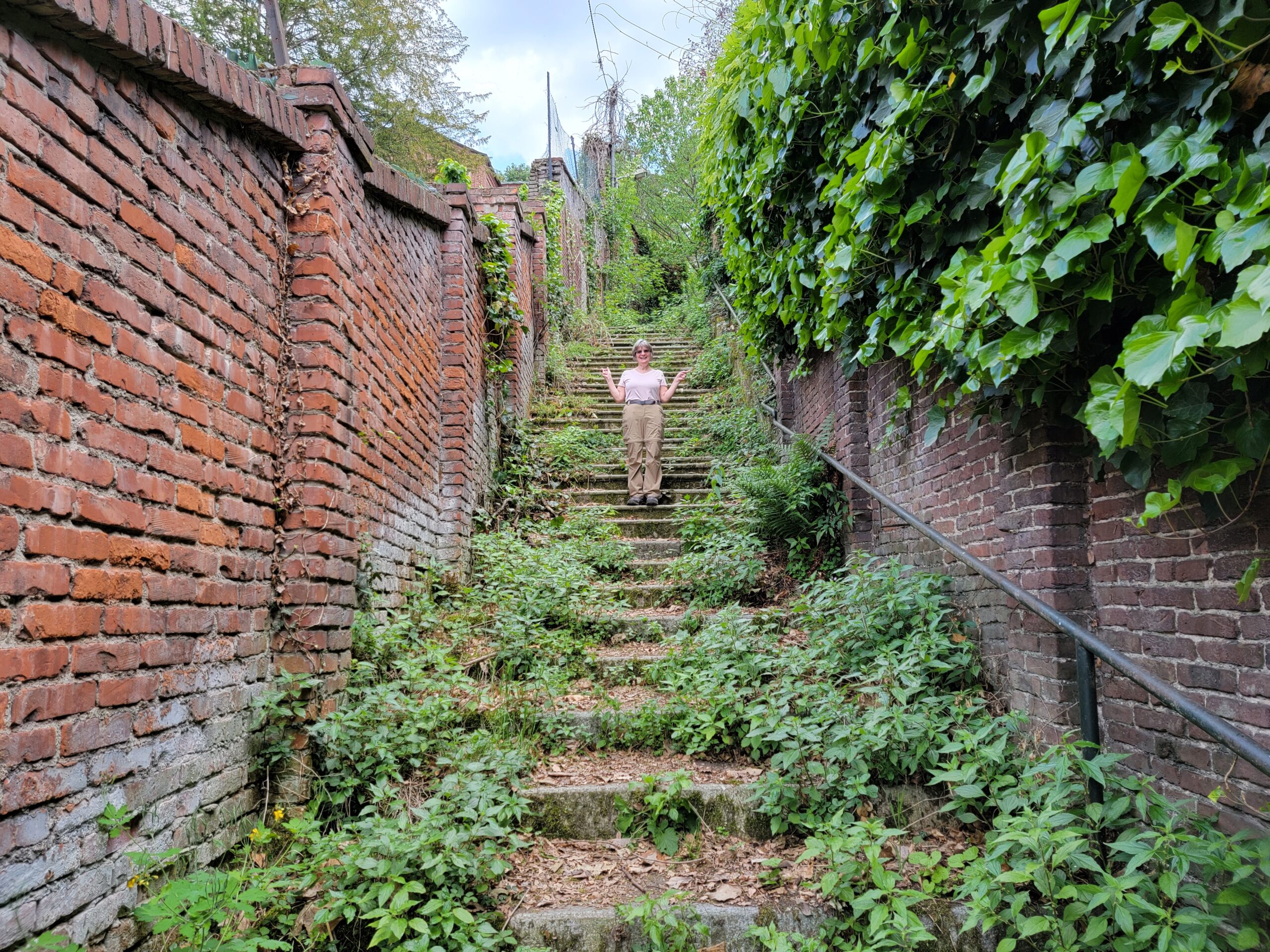
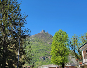
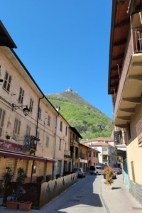
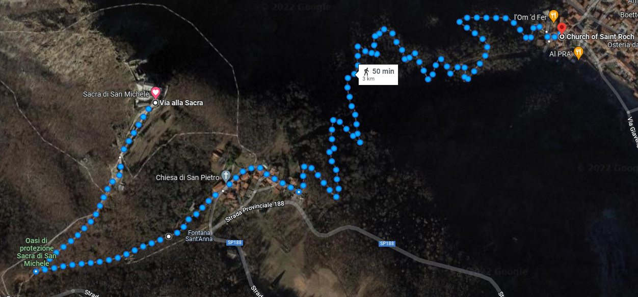
For those wanting and willing to see the Sacra di San Michele and experience this great church and its views, one must hike the three or so kilometers and one kilometer ascent in order to really enjoy what the builders had accomplished here. Not only is it a feat of Middle-Ages engineering and stubbornness, its shear existence defies rationality, and so may I add hiking up to it. Well maybe not exactly, but you should be prepared. We saw many individuals when we were descending wearing the wrong type of shoes, etc. More on that later.
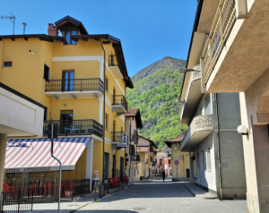
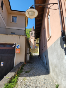
Sant’ Ambrogio – Getting There
A thirty three minute train ride from Turin’s train station Porta Nuova will get you to Sant’ Ambrogio and the beginning of your climb. Let me add, before we begin, that you may drive up to the church; but then you would be among the majority of people there and just mere tourists.
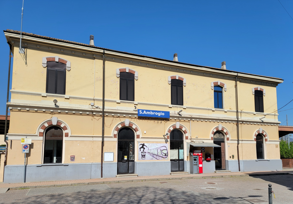
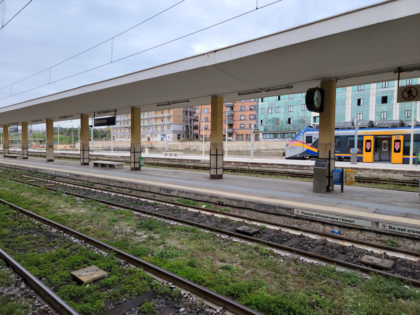
The train station is spartan and leaves you off on track one to enter this small town or hamlet directly. Returning you will have to find the stairwell to the right of the train station and walk under the tracks.
We arrived the day after Easter Sunday, or as the remembrance in Italy has it for Roman Catholics, Pasquetta [1]Also called, Lunedì dell’ Angelo, which is meant to remember the women of the sepulcher, including Mary Magdalene, who were comforted by an angel when they returned to Jesus’ tomb and found it … Continue reading The town was more or less empty, so our ideas about a quick climb up and back and an early lunch soon vanished.
The walk through the town was short and without incident, in fact, we were mostly accompanied by the individuals who left the train with us, residents of the town having already left for the long weekend or enjoying amenities inside and their extra day off.
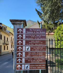
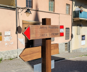
Parco Naturale Orsiera – Sentiero Trail 502
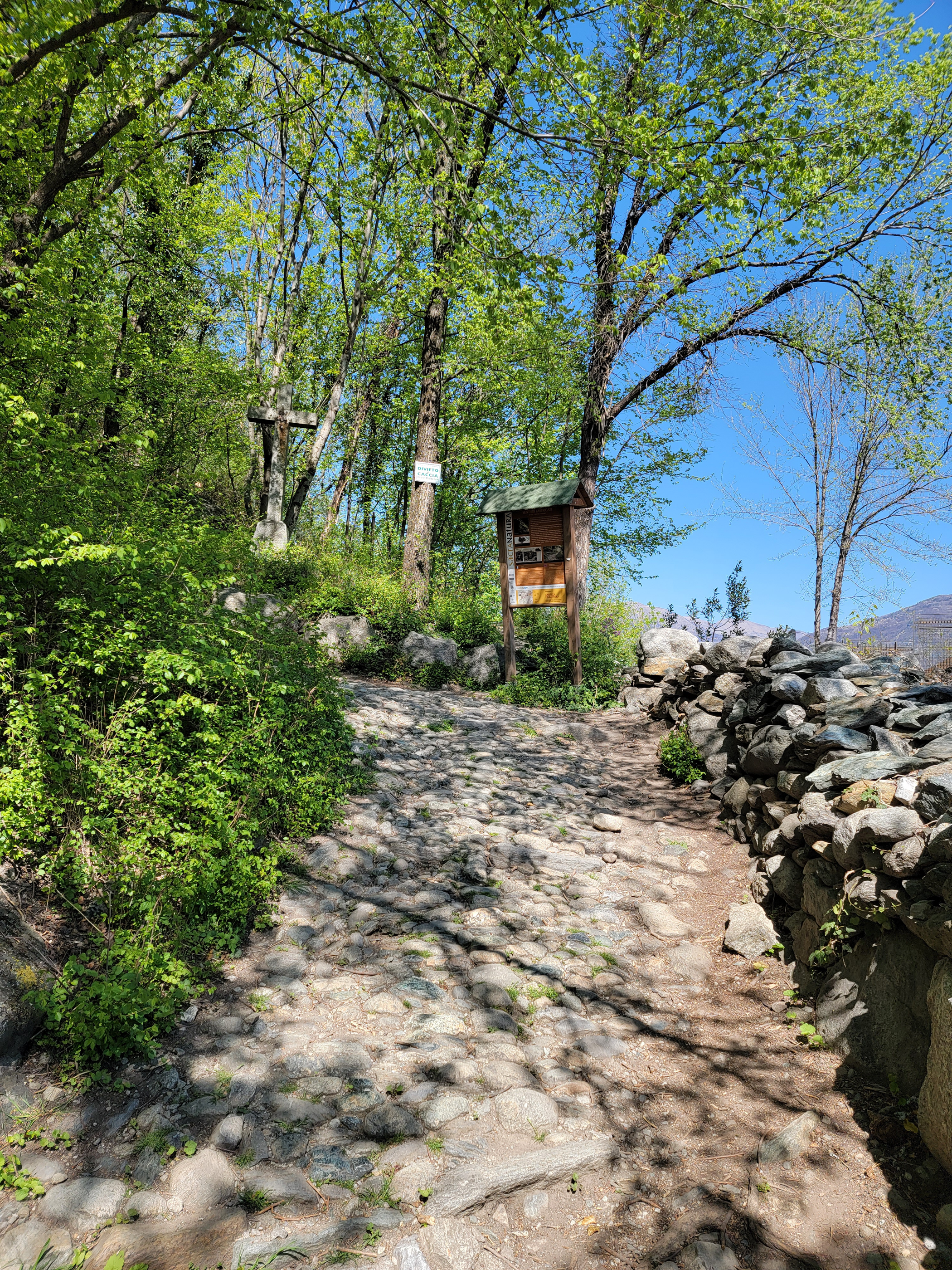
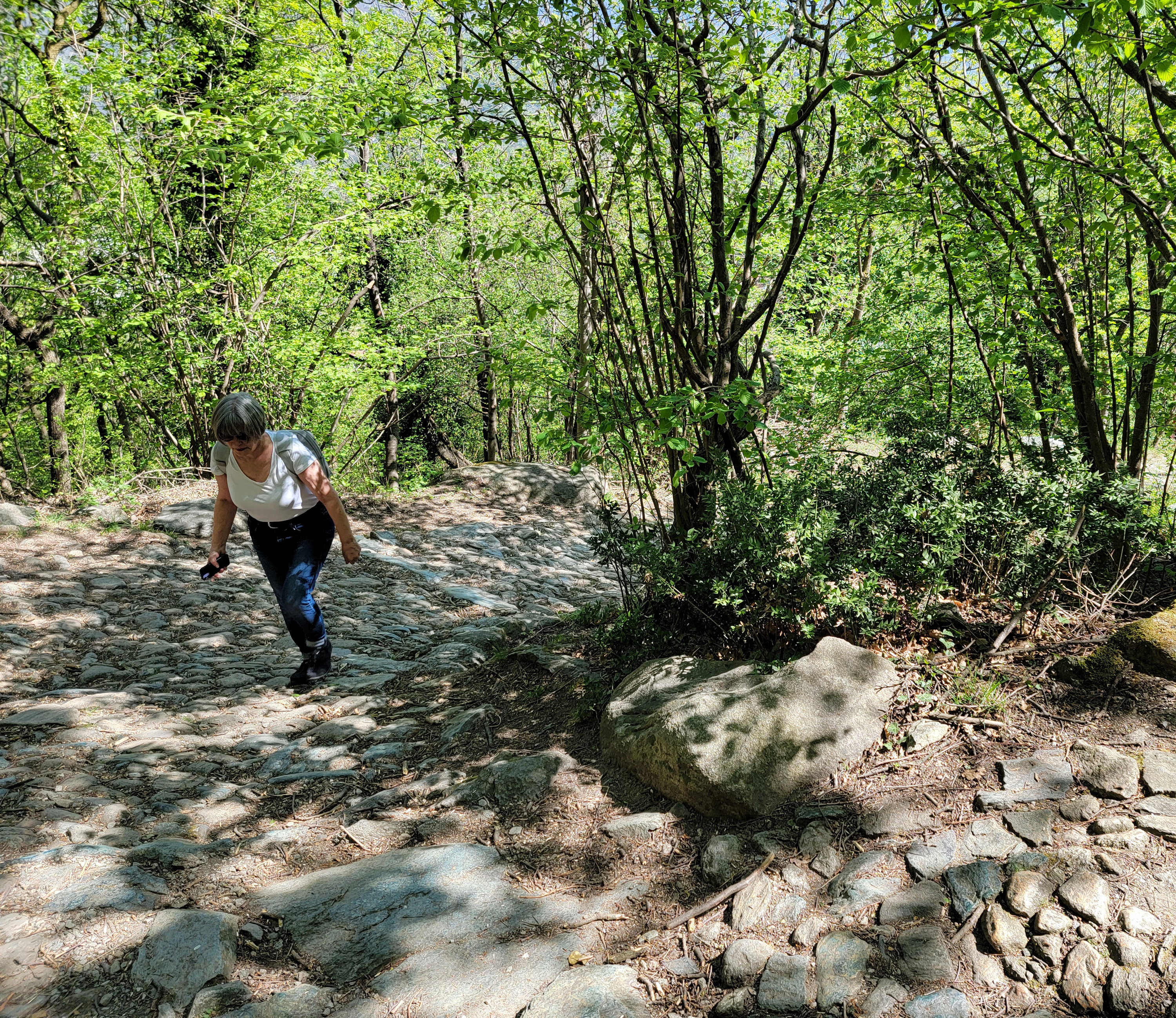
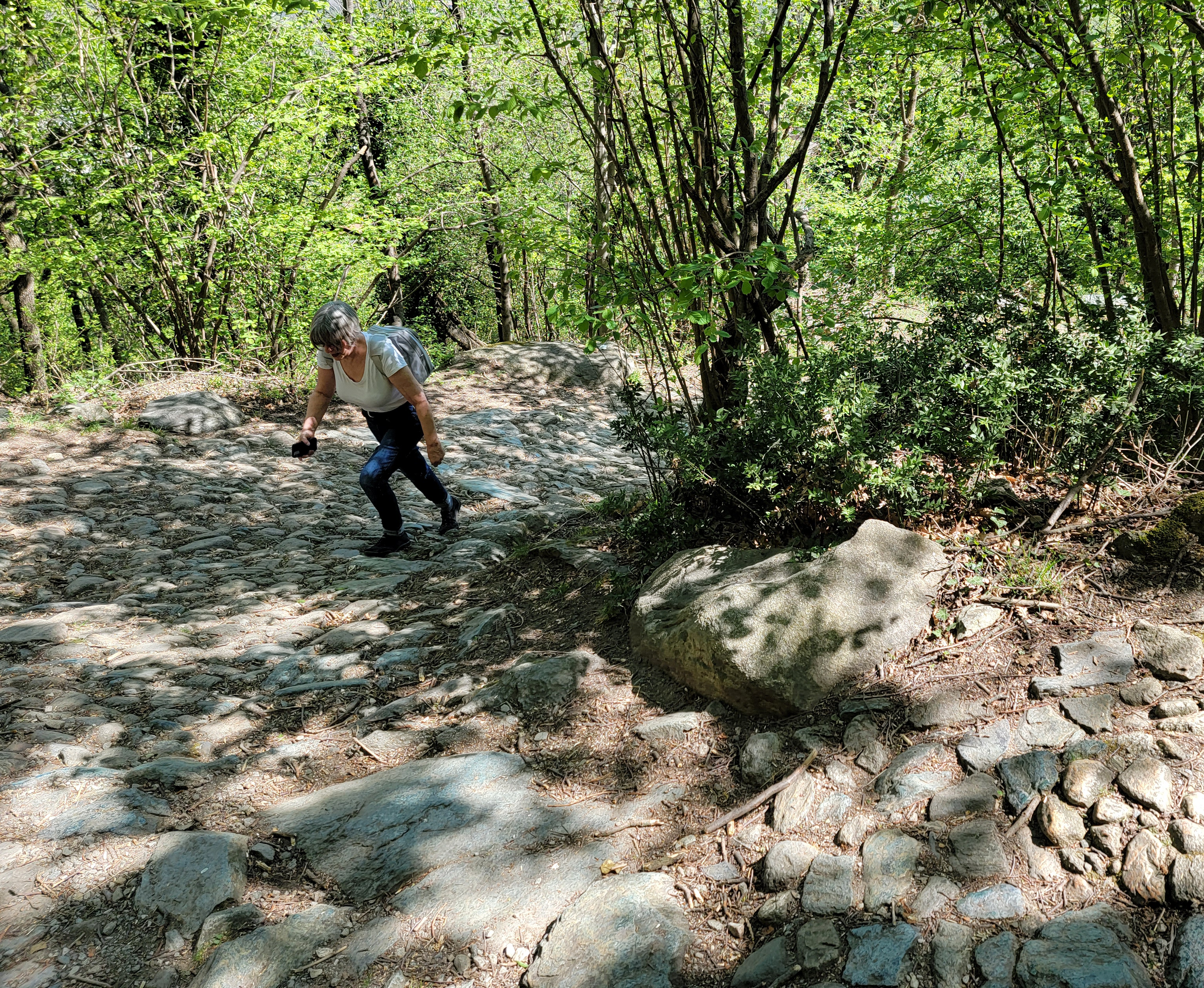
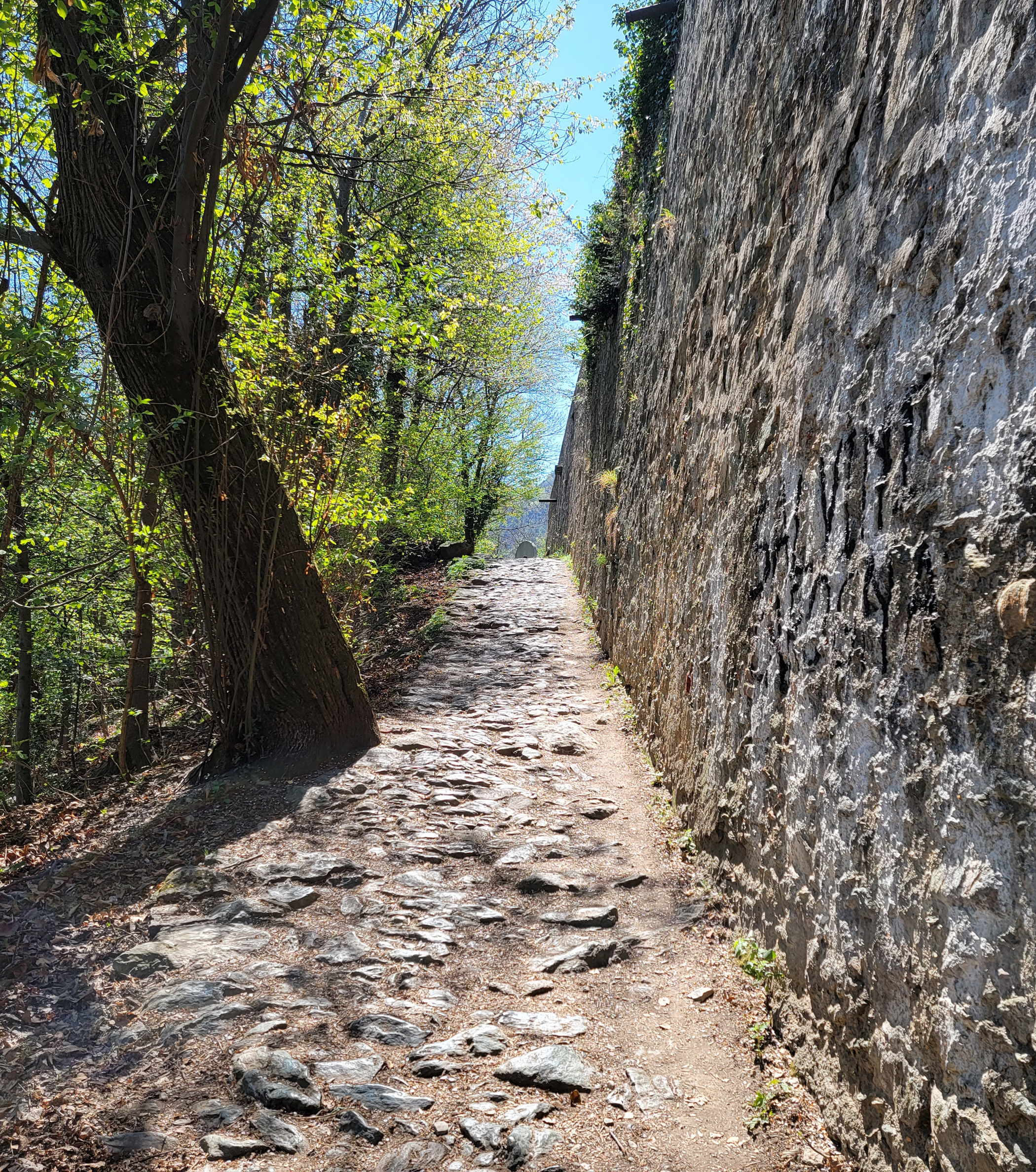
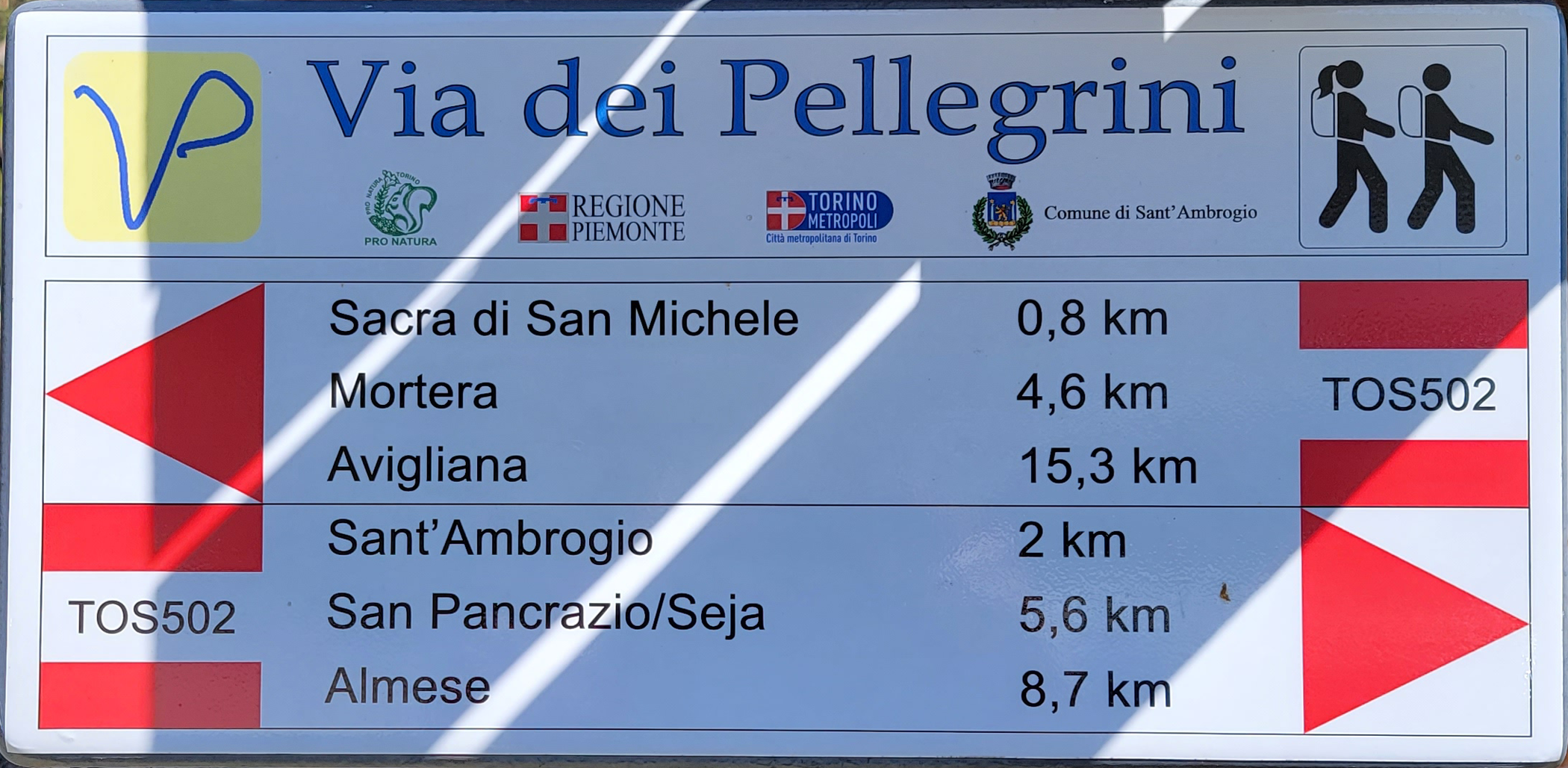
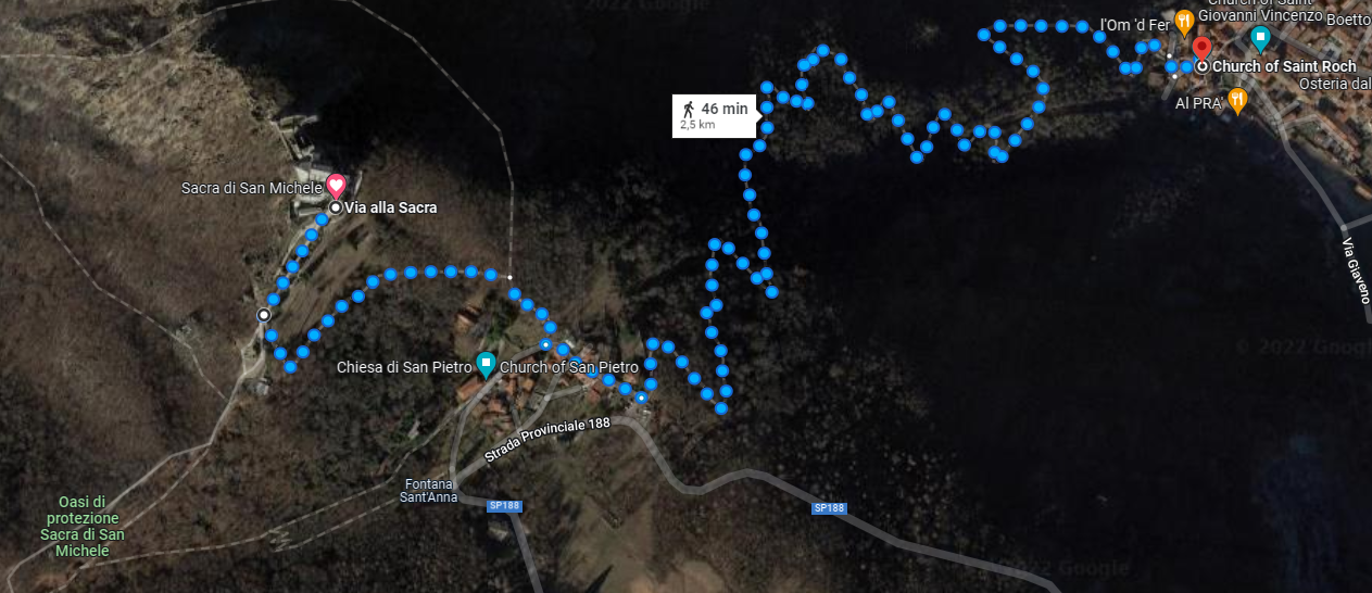
Using the Sentiero Trail 502, or TOS 502, we quickly left the town and started our ascent up the most north-eastern mountain or hill of the Parco Naturale Orsiera. An almost one kilometer ascent for three kilometers with slopes ranging in steepness of three to twenty percent, and I would conjecture most were in the double digits.
The trail was for the most part cobbled with round and larger stones, some which have a remarkable green color, are shiny and very slippery. Proper shoes are important, though it is possible to navigate the trail with tennis shoes or sneakers.
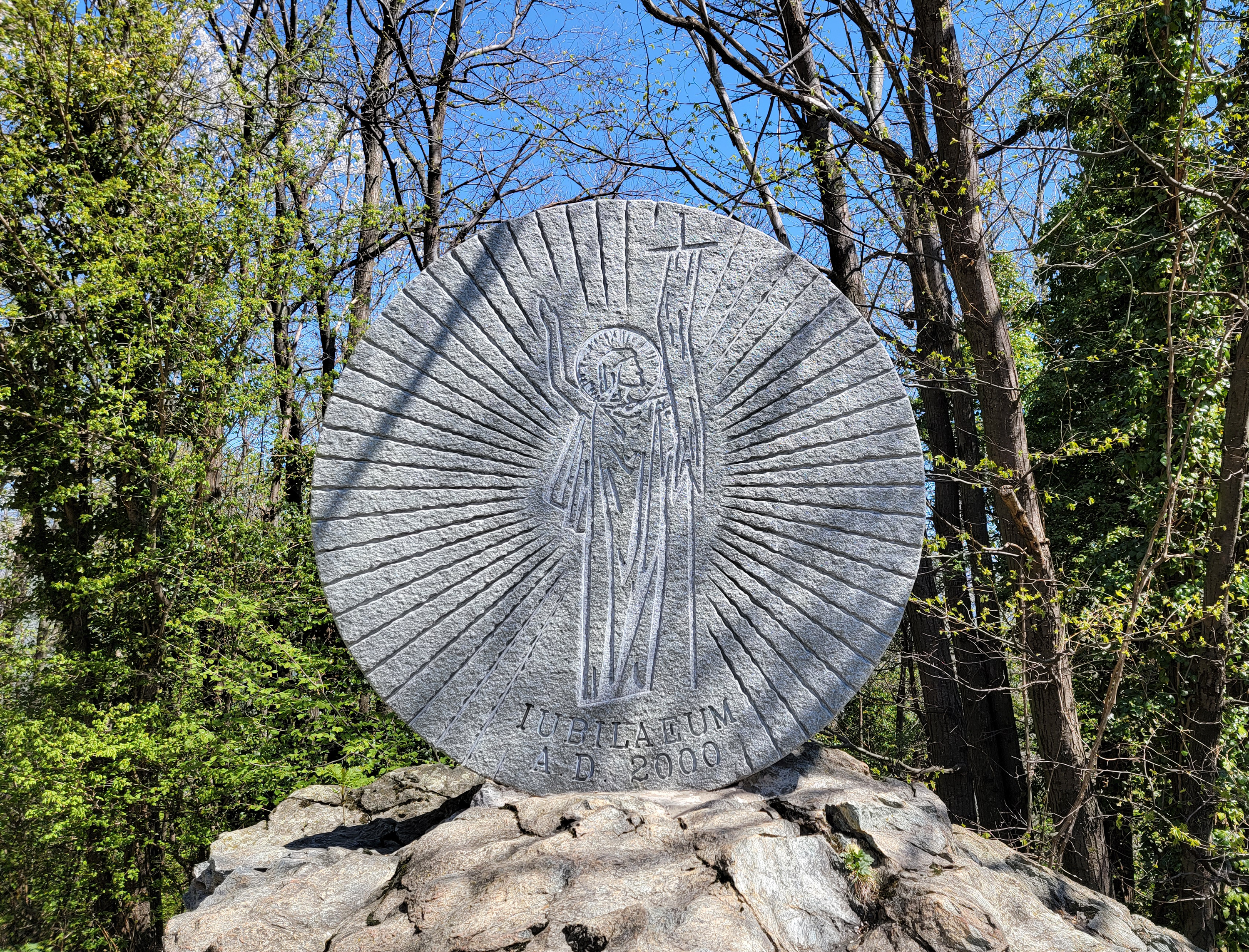
Upon exiting the trail at a collection of houses, and an interim point in the hike, you will find a large commemorative stone.
Then you will make a hairpin turn and look up, only to see that your hike up is STILL NOT OVER!
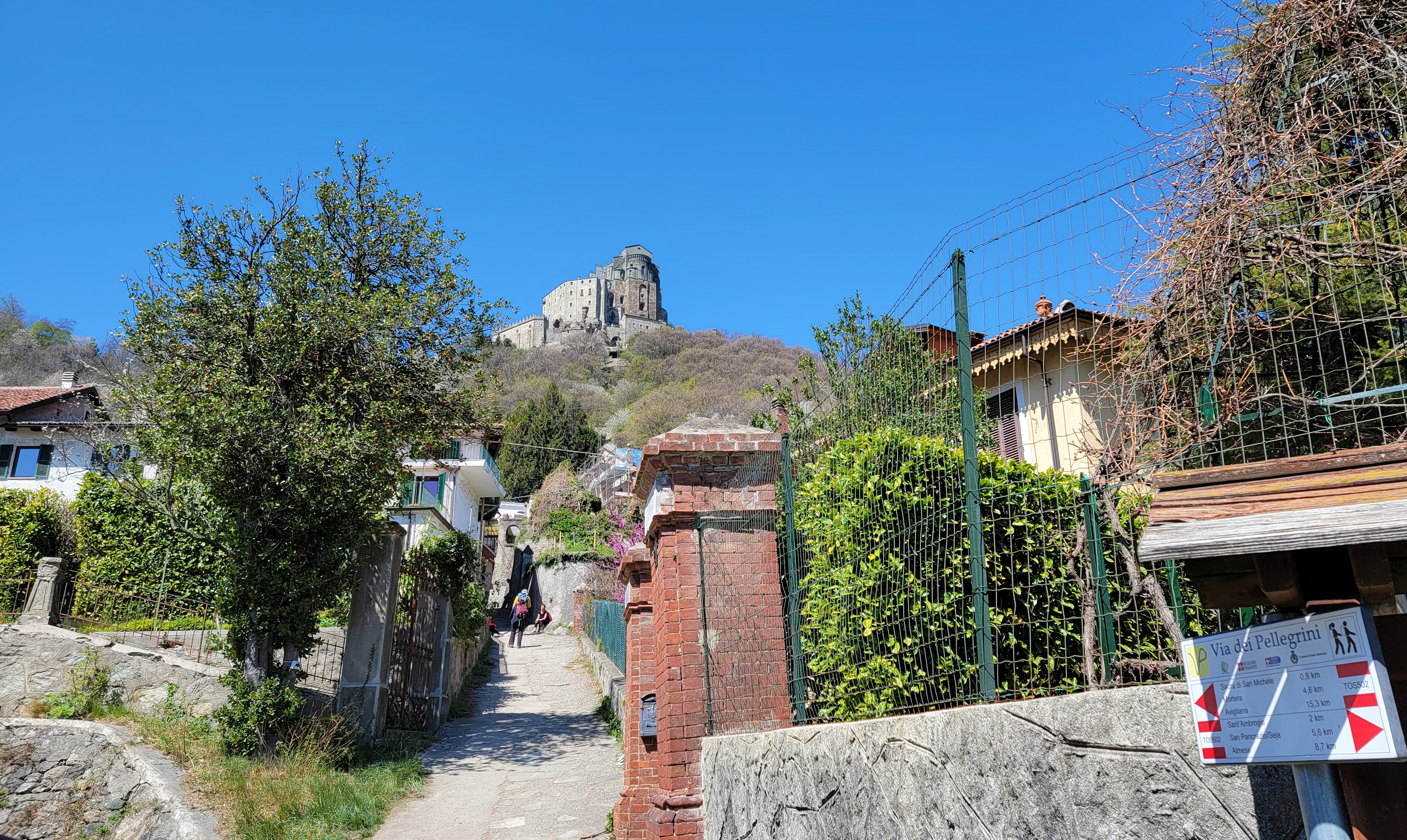
Checking the signs indicate approximately another kilometer to hike, which took us about twenty minutes.
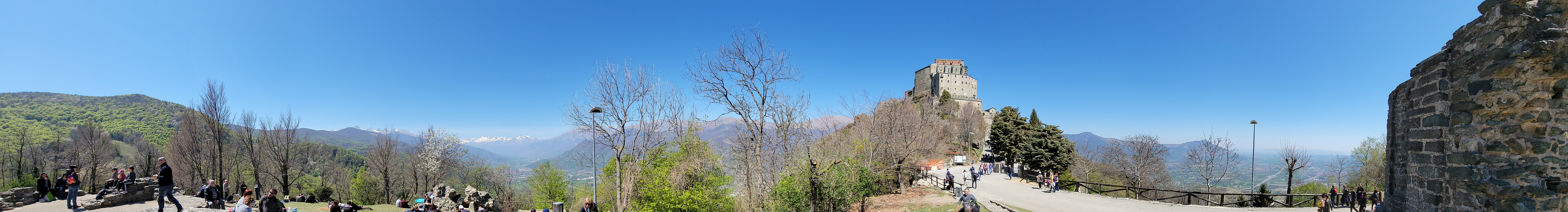
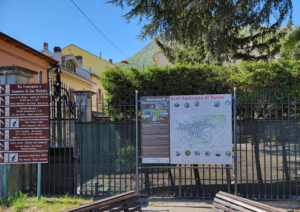
After the last more modest climb you will walk onto a road, where all the other tourists are walking into from the parking lot. The attraction has a large sign explaining the layout of the church and its grounds.

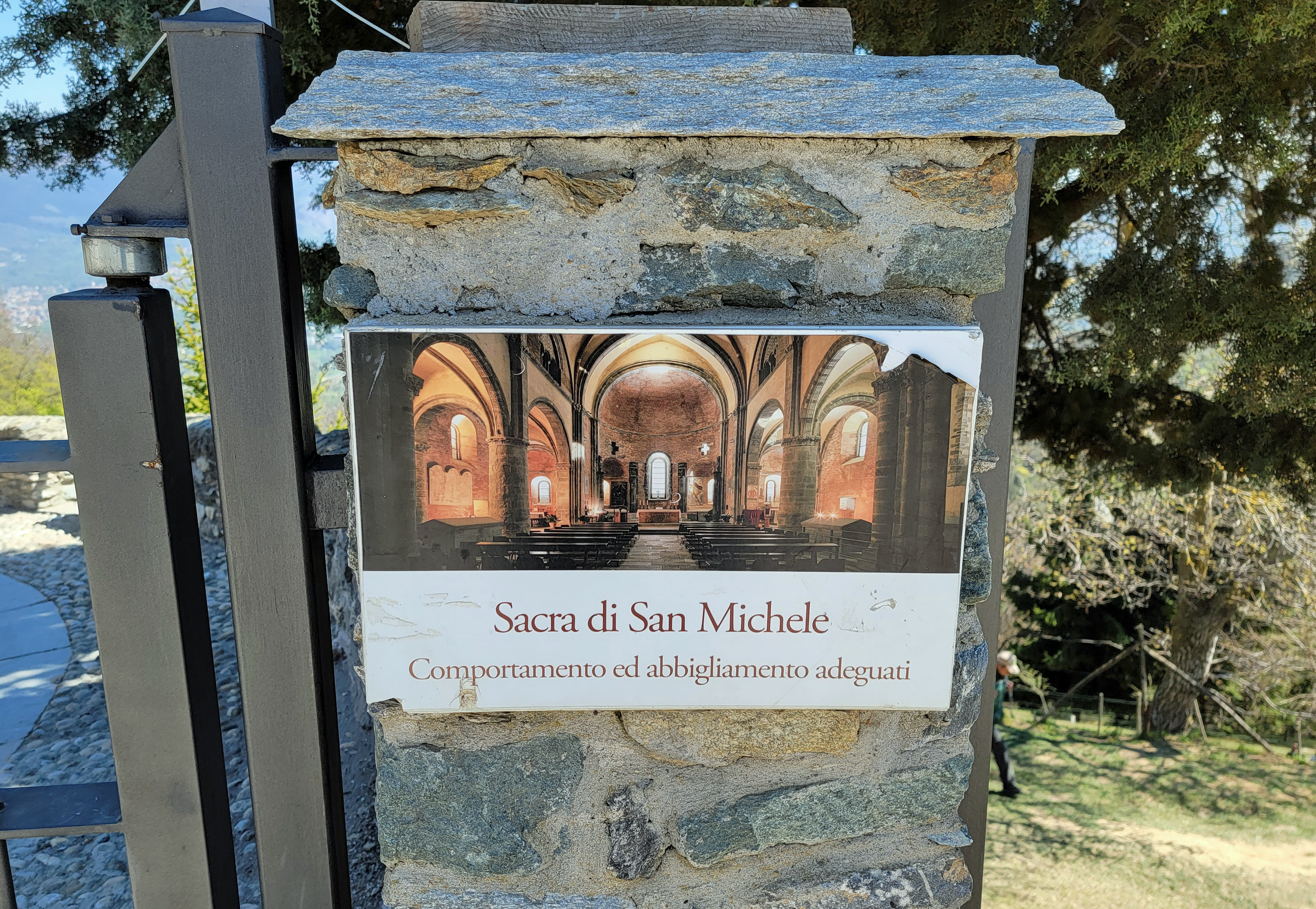
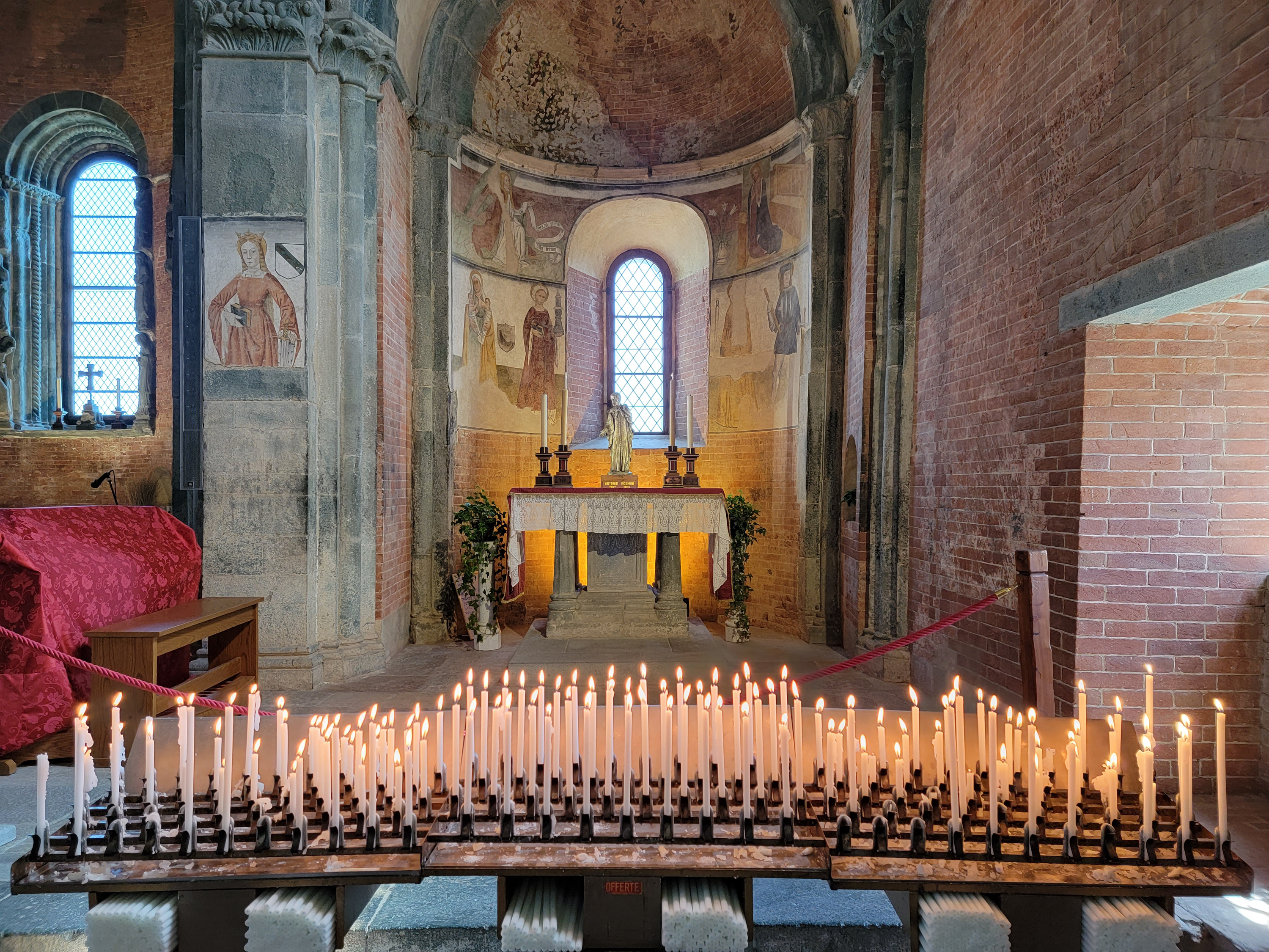
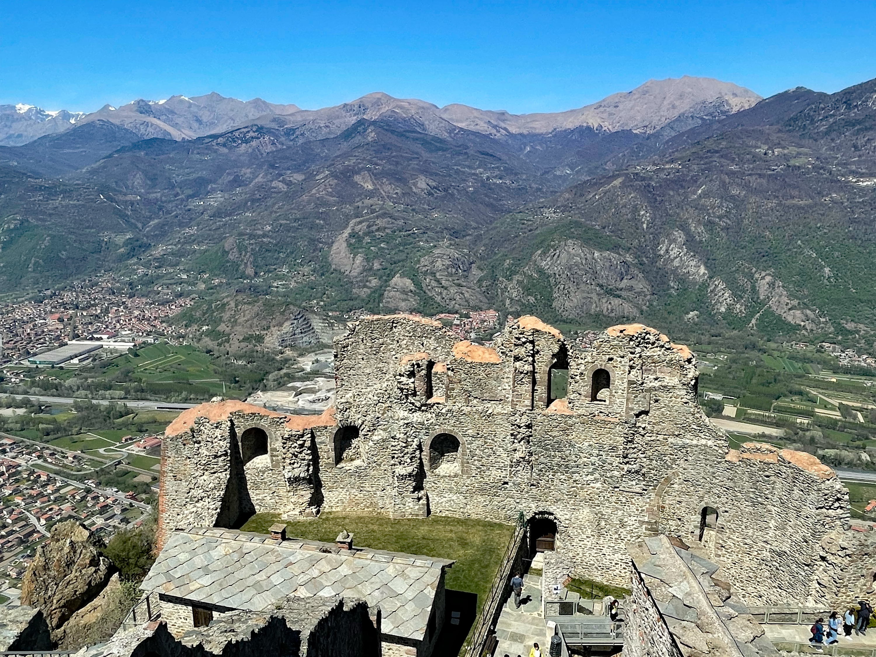
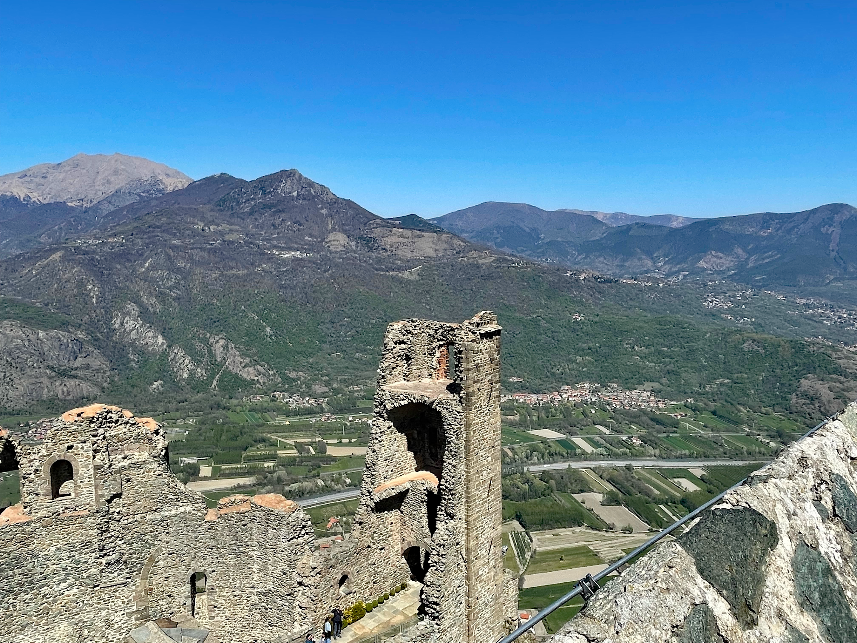
Sacra di San Michele
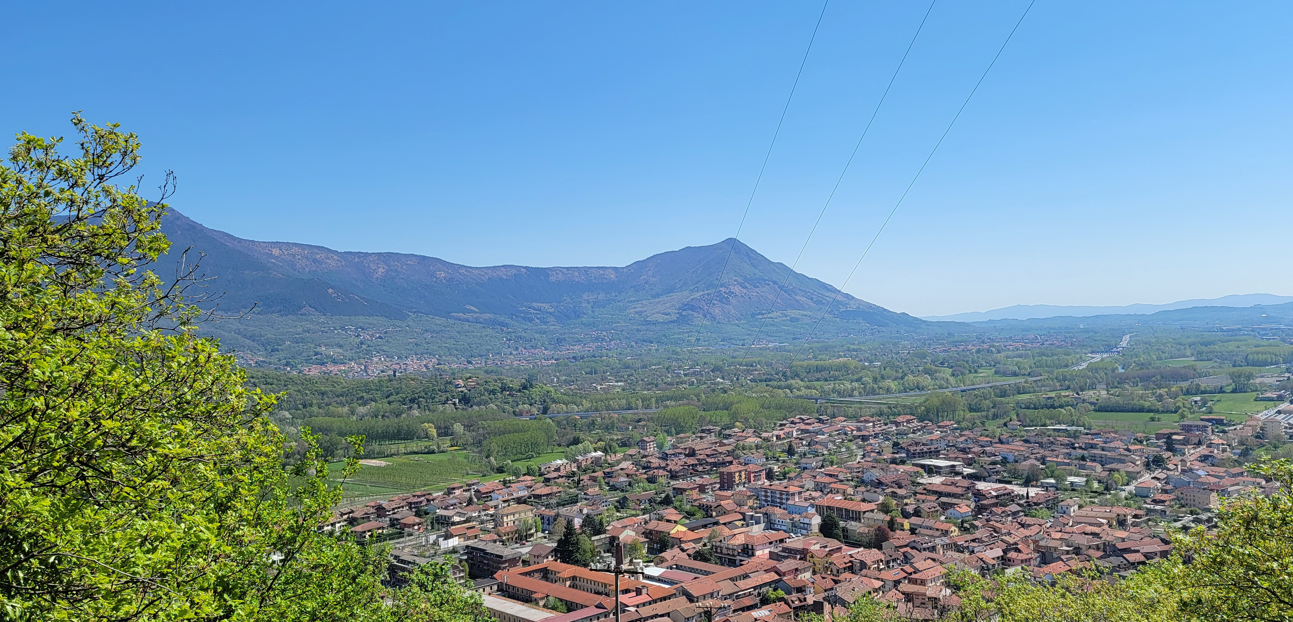
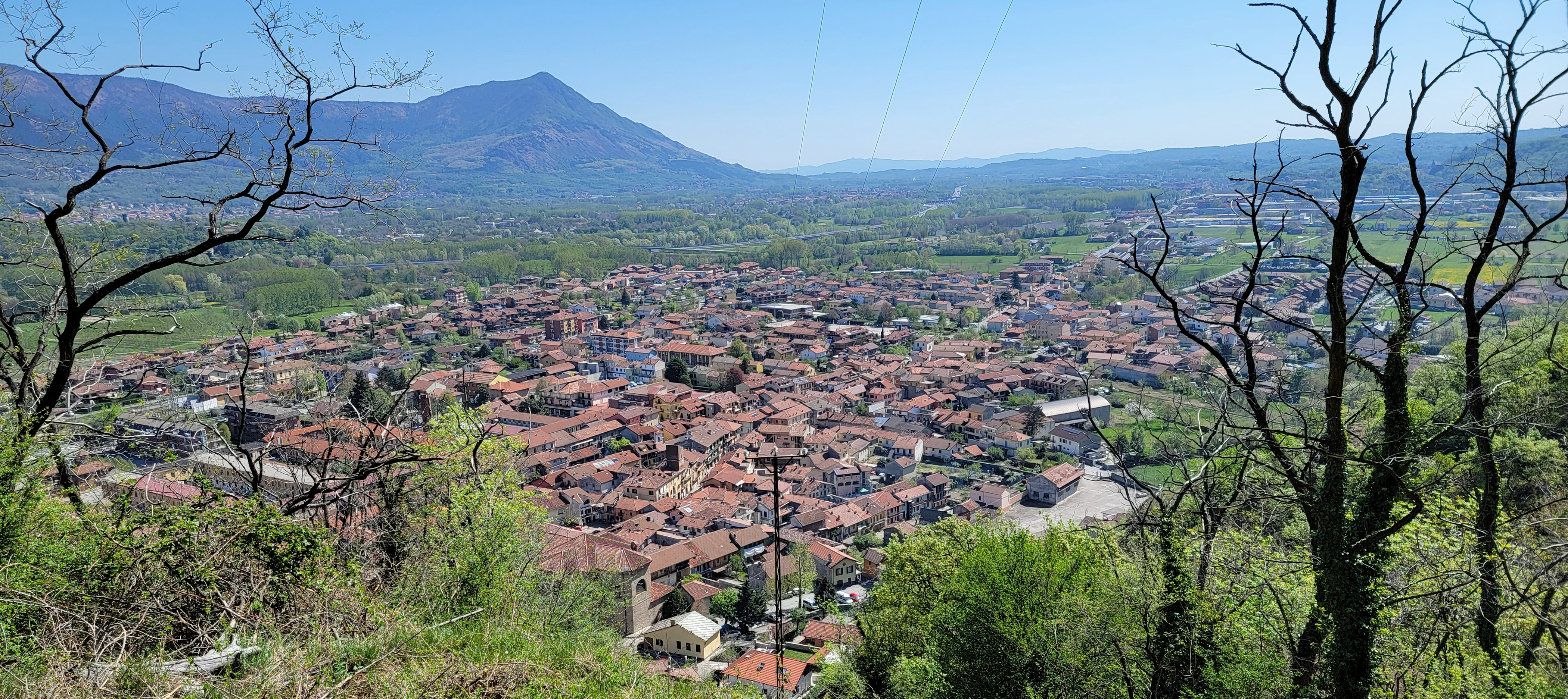
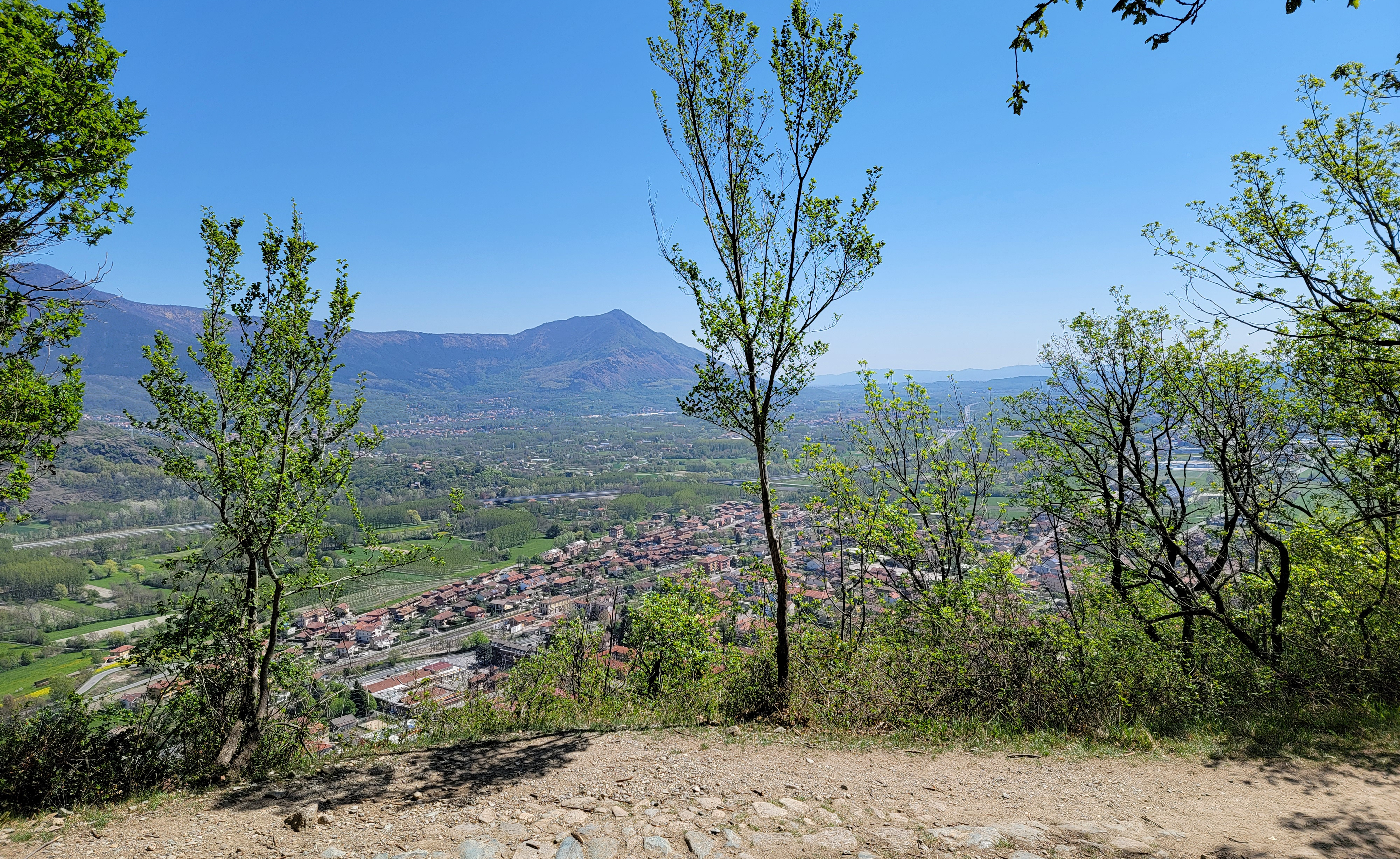
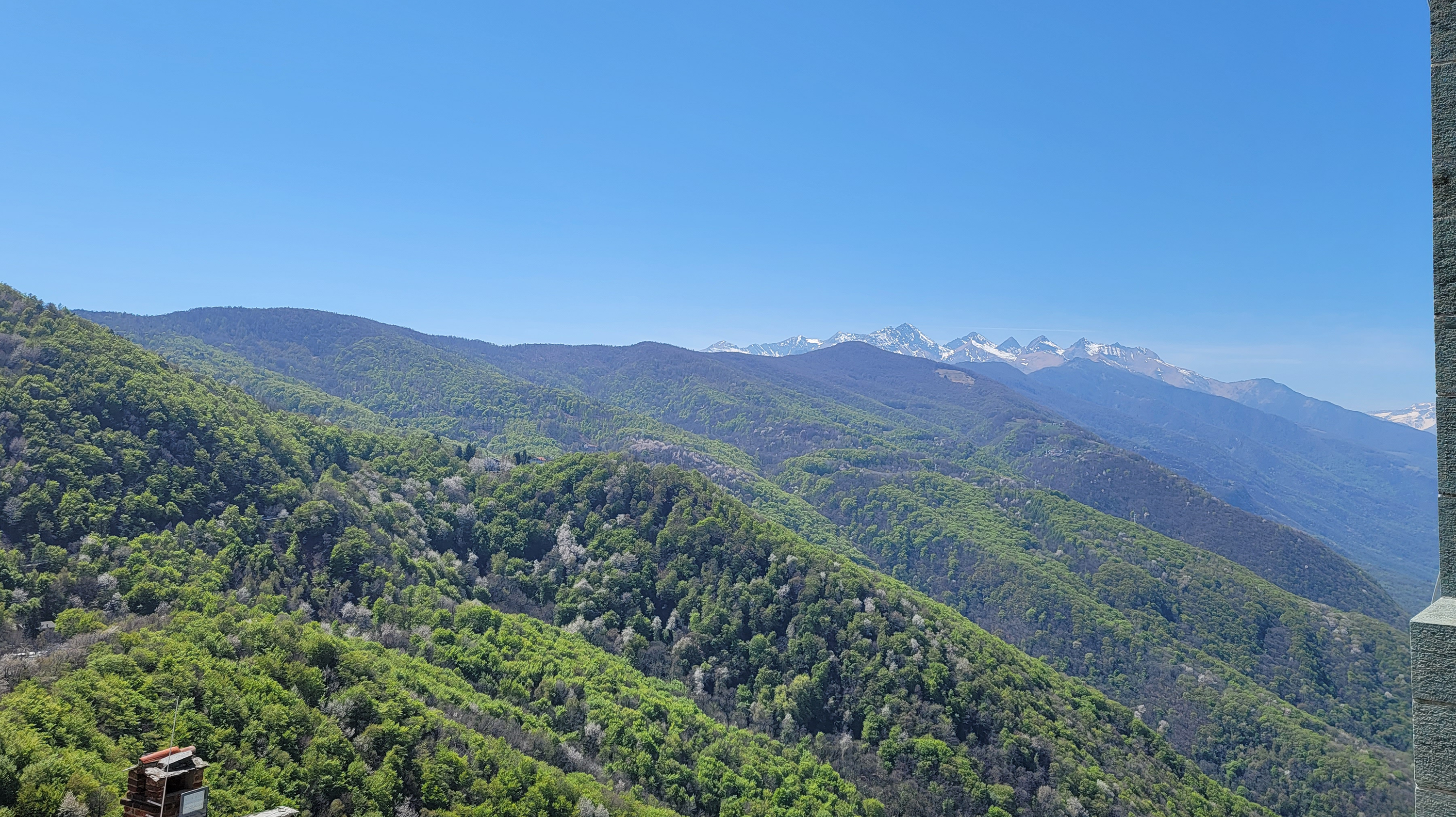
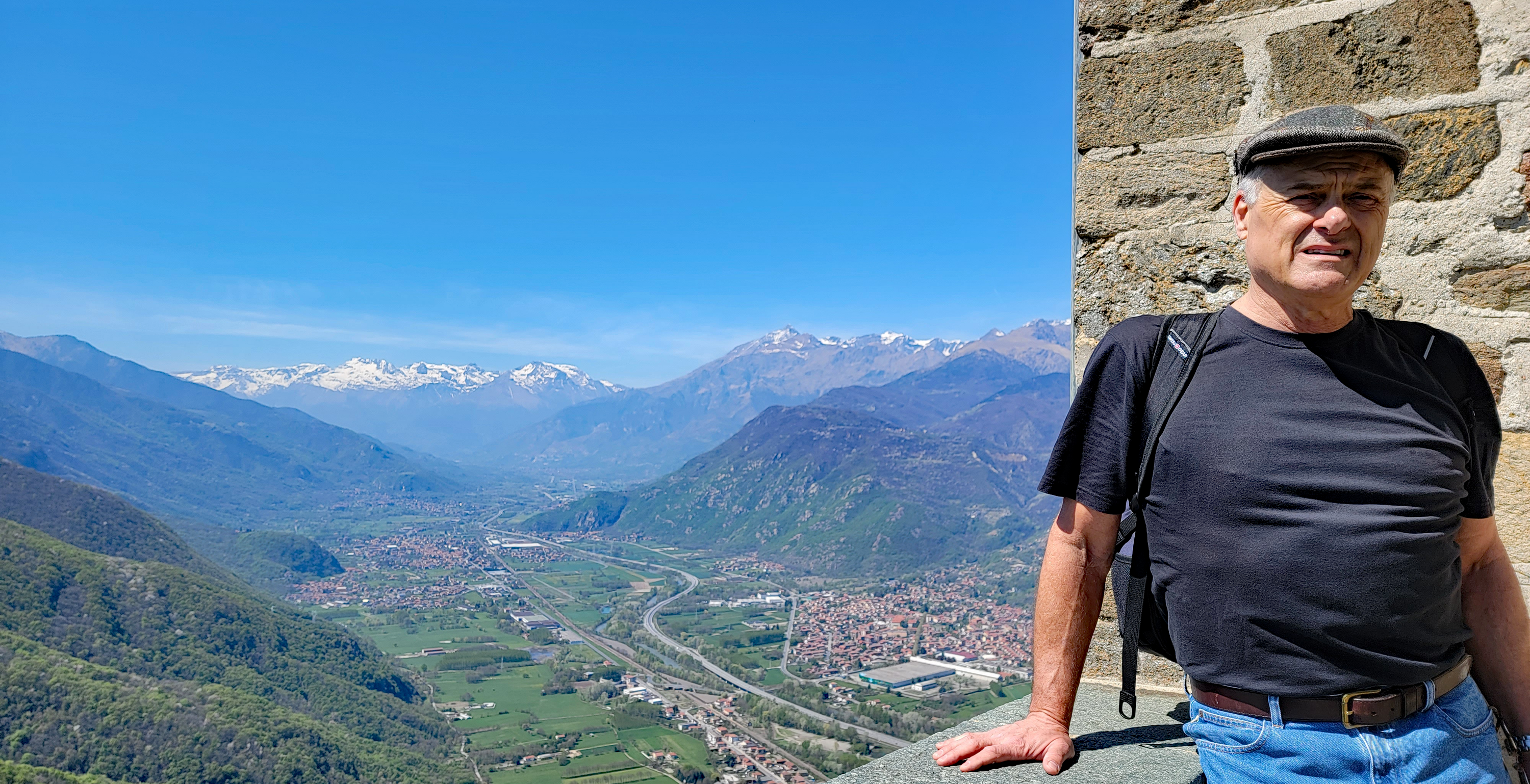
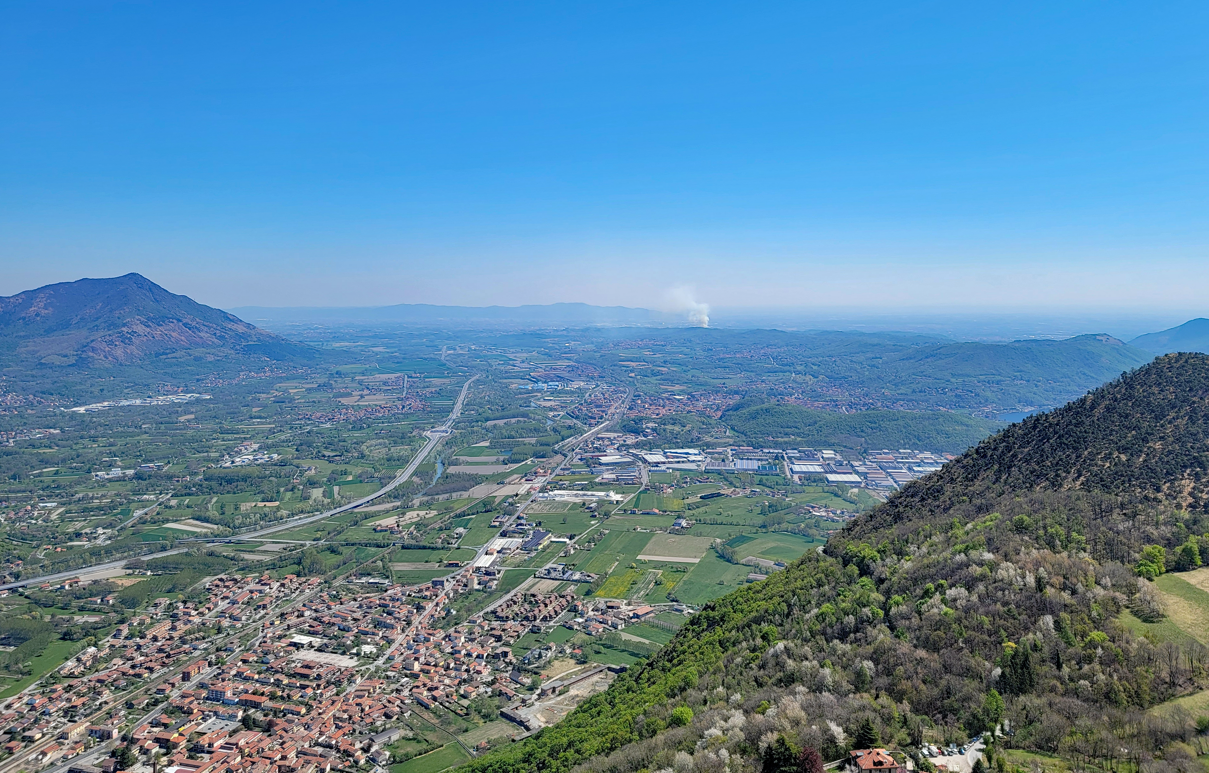
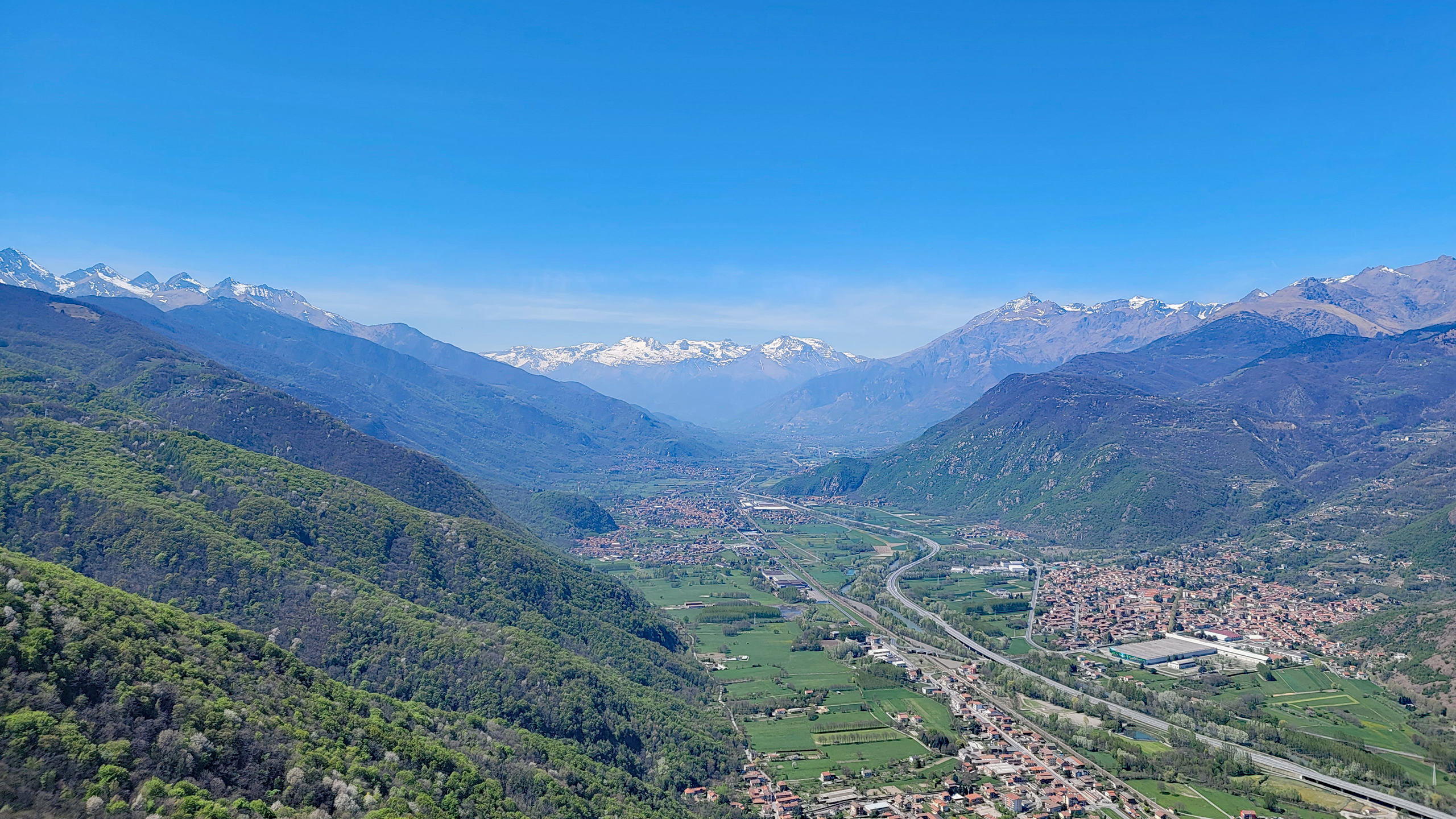
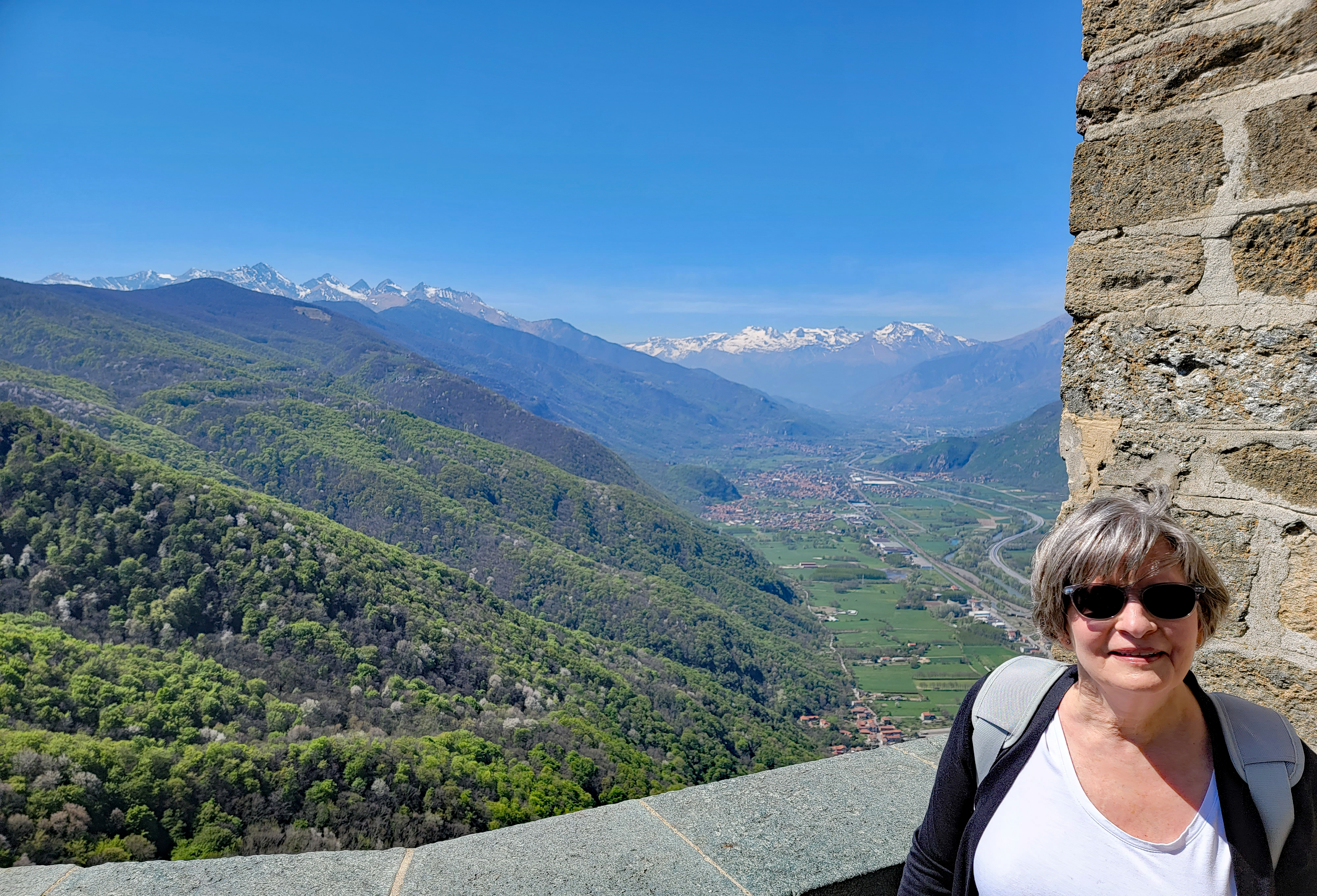
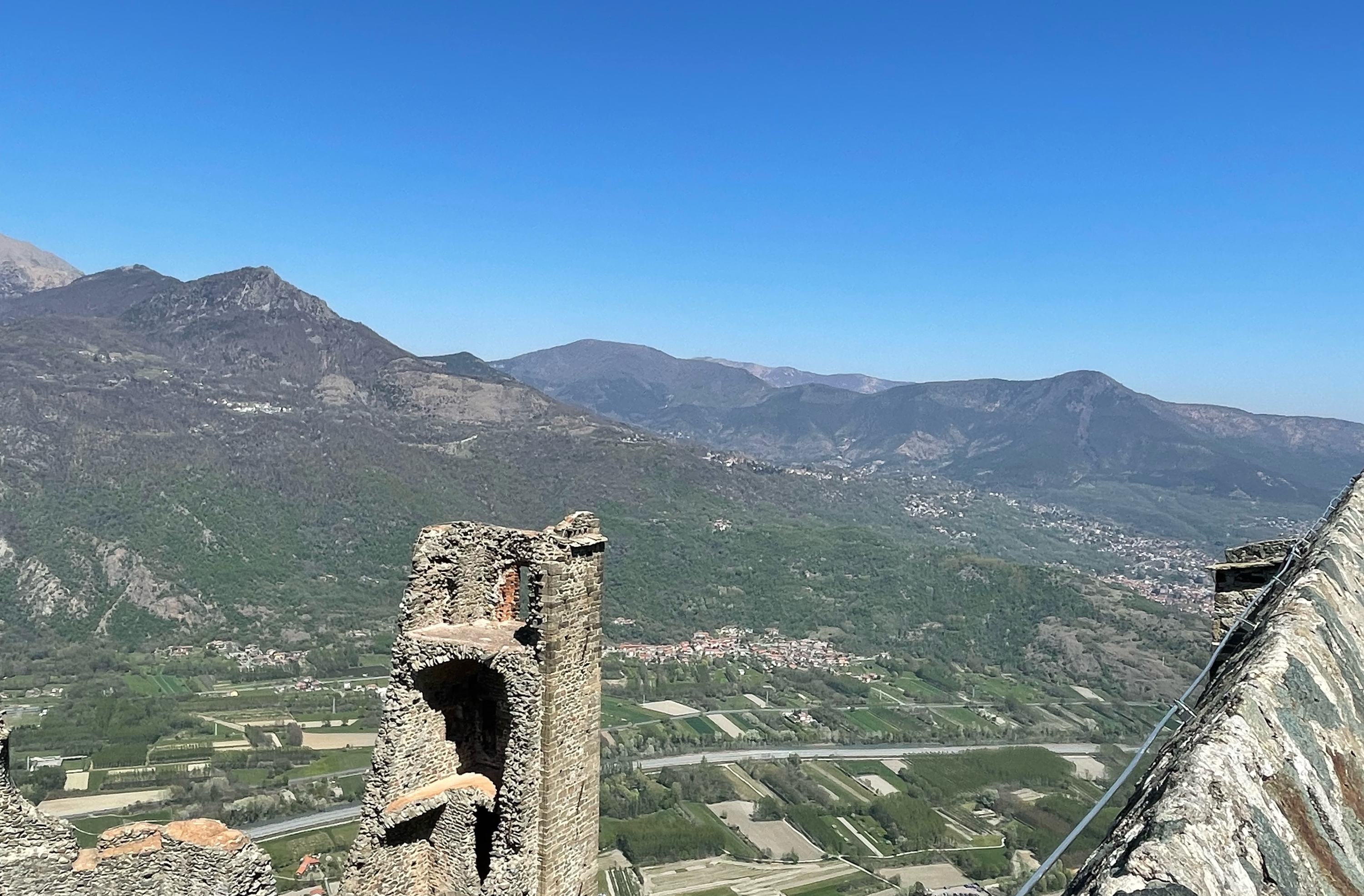
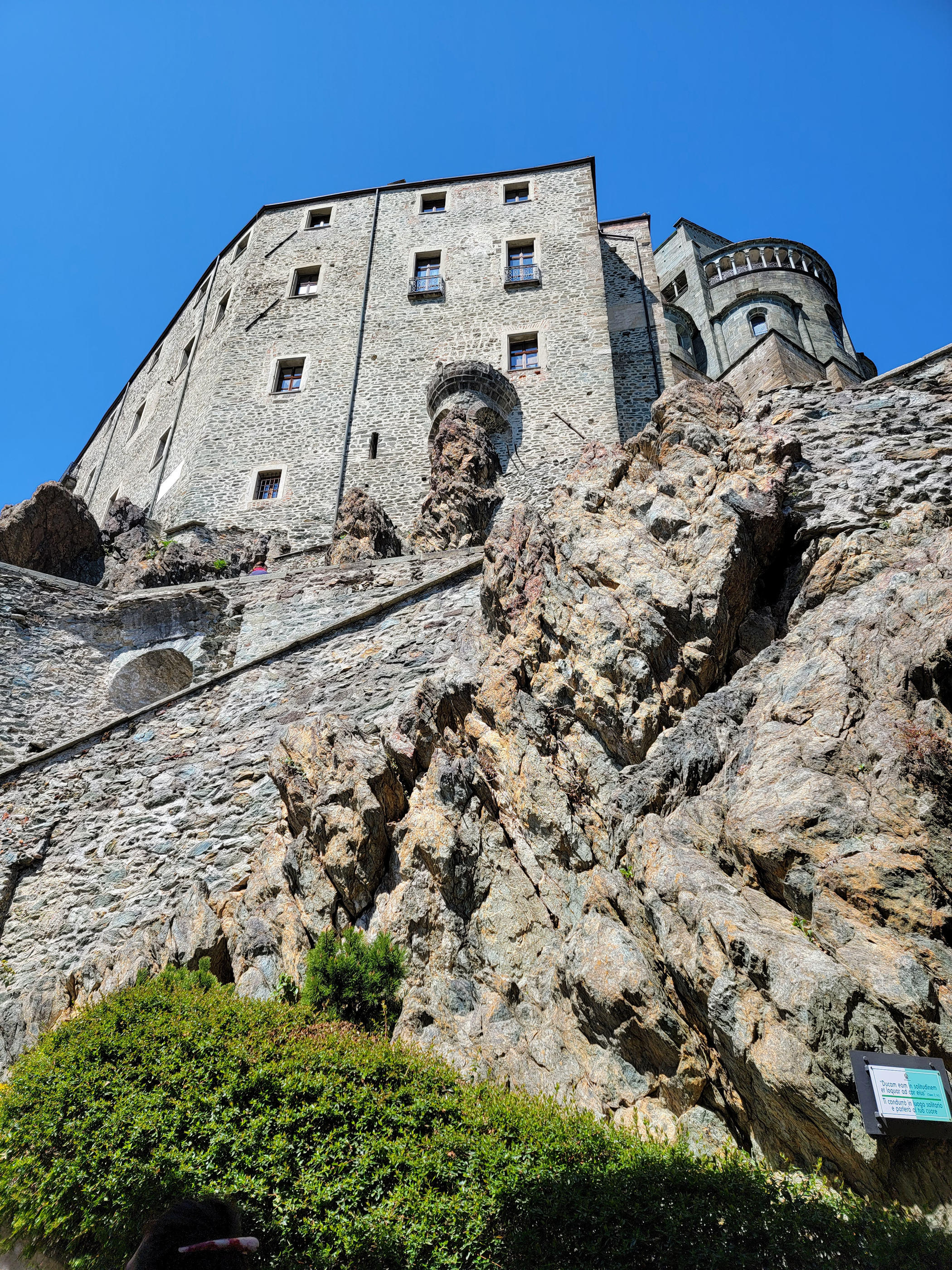
Once near the church of Sacra di San Michele, the magnificent views are apparent. With its perch high on a rocky crag, the church has a commanding view of the valley below.
Walking up to the church you will find a small building to the right that sells postcards, other tourist paraphernalia and entrance tickets. Once purchased, a turnstile to the left has a QR code reader that will let you enter, then you must start climbing stairs, an unwelcome sign after our long journey.
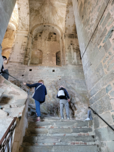
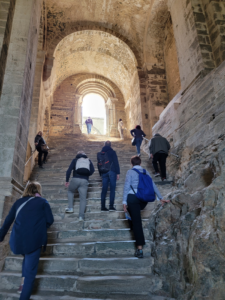
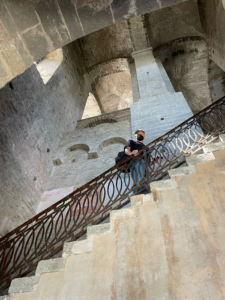
The remainder of our visit consisted of just enjoying the church and the beautiful views. My wife chose this day because the weather promised to be wonderful, we were not disappointed, it was sunny and in the low 60°s Fahrenheit, perfect for hiking.
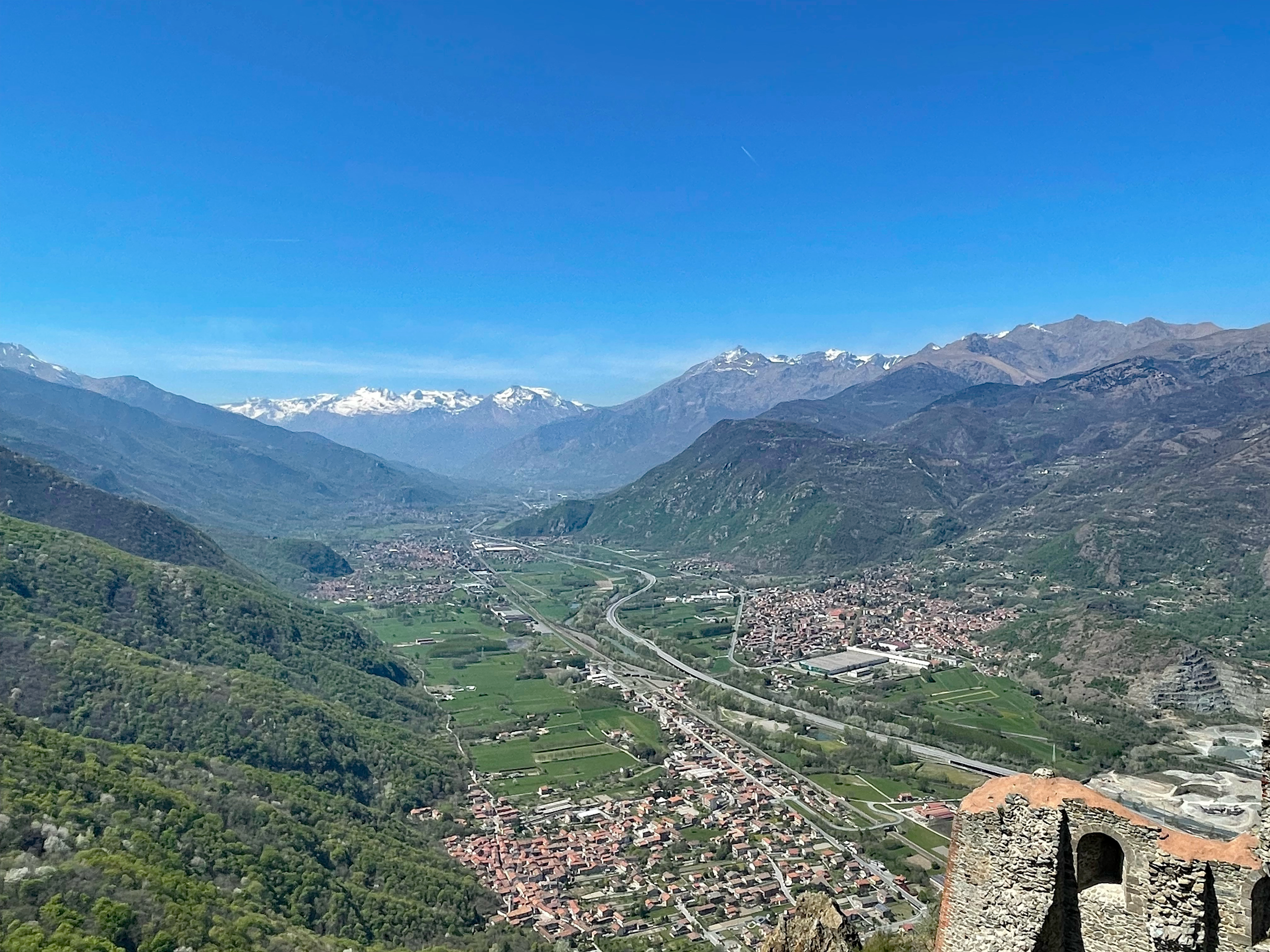
Leaving we took our last look up at the great church and descended along the more difficult trail, due to its increase in steepness, it promised to cut some time off our descent, which it did.
However, the first part of this trail is VERY steep and not for anyone ill-prepared or wearing the wrong hiking apparel, so caution! We were actually having second thoughts until we realized it was more difficult to go back up, then to press on and continue downward.
We arrived back in Sant’ Ambrogio almost five hours later, hungry and fairly tired from our experience. Once on the train, we relaxed and started to compare which part of our legs hurt more. However, we were both happy we were able to meet our sacred vertical pilgrimage with a great sense of accomplishment. It was our first big hike of the season, hopefully not our last and if anyone is thinking of doing this or a similar hike, keep the following in mind, we will next time.
-
- Prepare for your hike, research the route and understand how technical it is
- Bring a water bottle, the trail has two or three places to refill, this is especially important
- Bring lunch or something to eat, there is nothing above except some vending by the ticket counter, but do not count on that
- Wear the correct clothing (light and layered) and shoes, hiking shoes would be preferred but thick soled tennis shoes or sneakers will do
- Pace yourself, unless you are young be mindful of your body and do not over-exert, you do not want to get into medical trouble on that trail, it will take some time for them to get to you
- Go in good weather, unless it’s your intent as an experienced hikers not to
- And last but not least.., enjoy yourself, there are amazing things to see and hear on the trail, the flowers and birds are in abundance.
References
| ↑1 | Also called, Lunedì dell’ Angelo, which is meant to remember the women of the sepulcher, including Mary Magdalene, who were comforted by an angel when they returned to Jesus’ tomb and found it empty. |
|---|
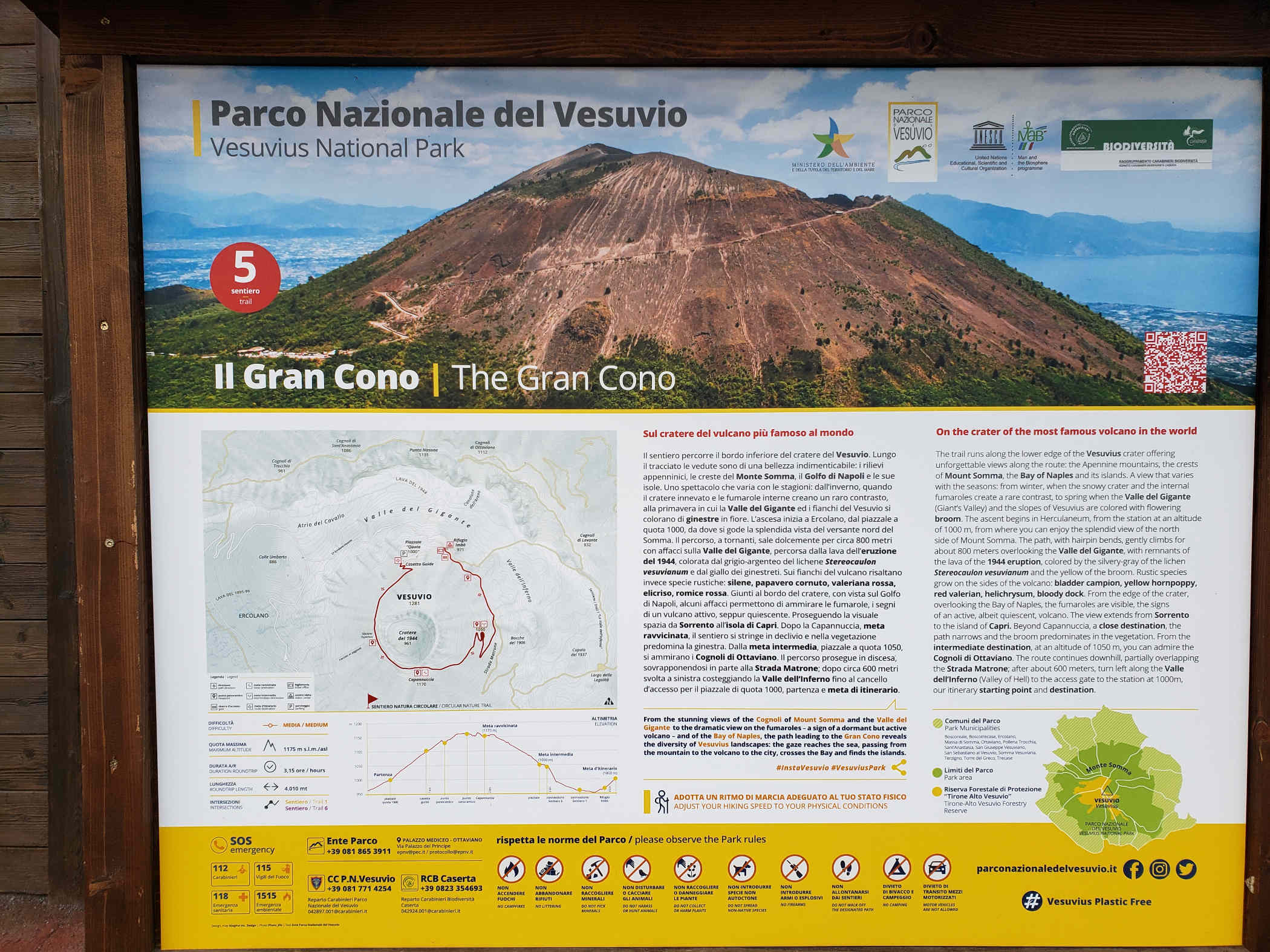
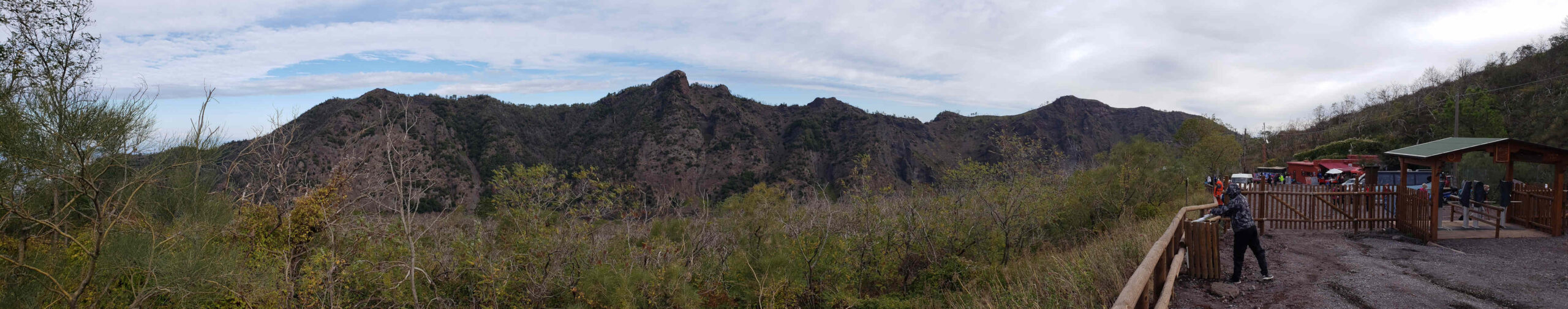
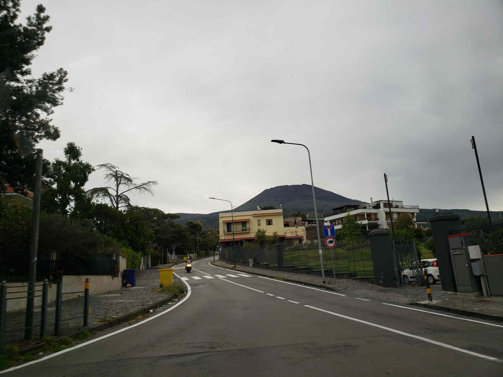
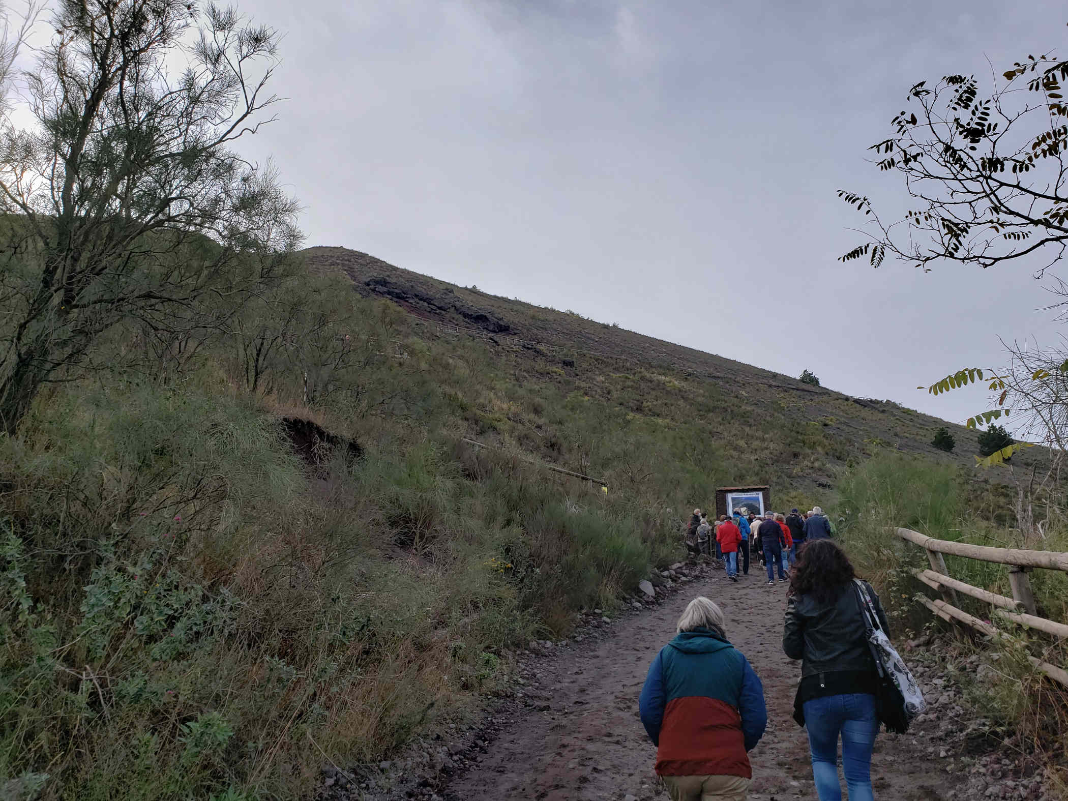
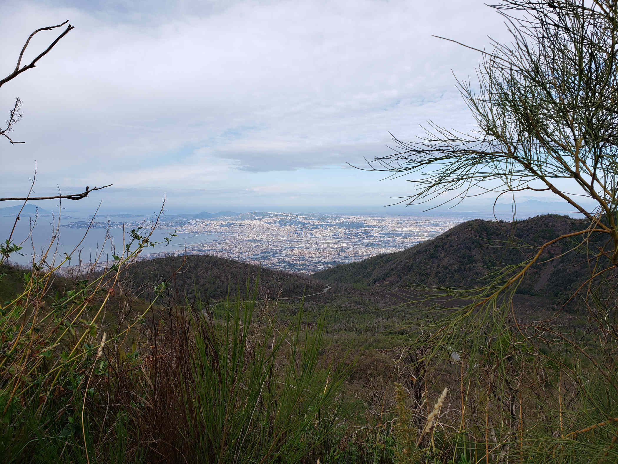
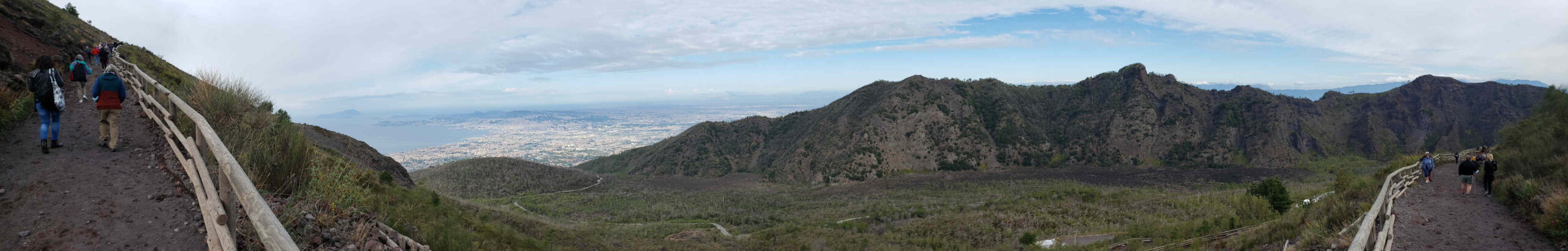
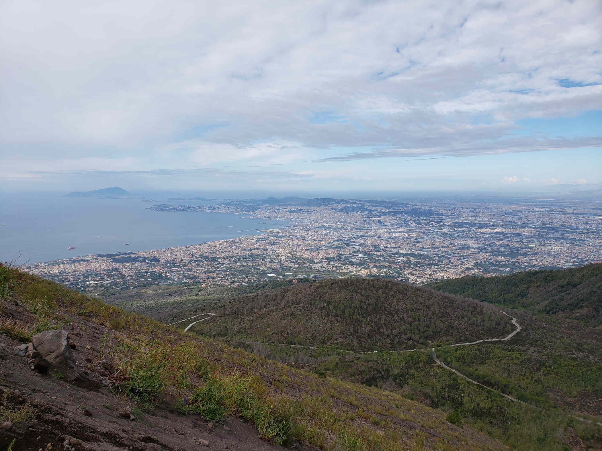
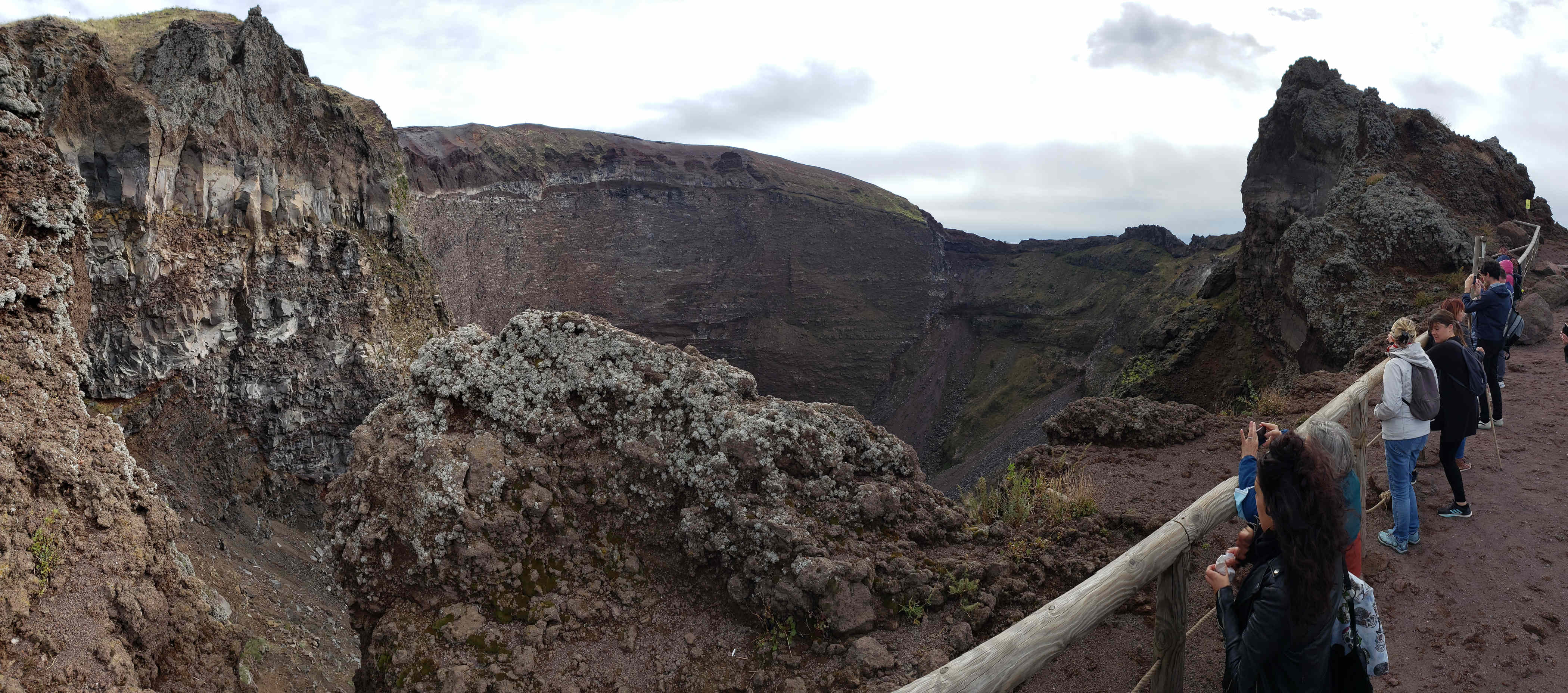
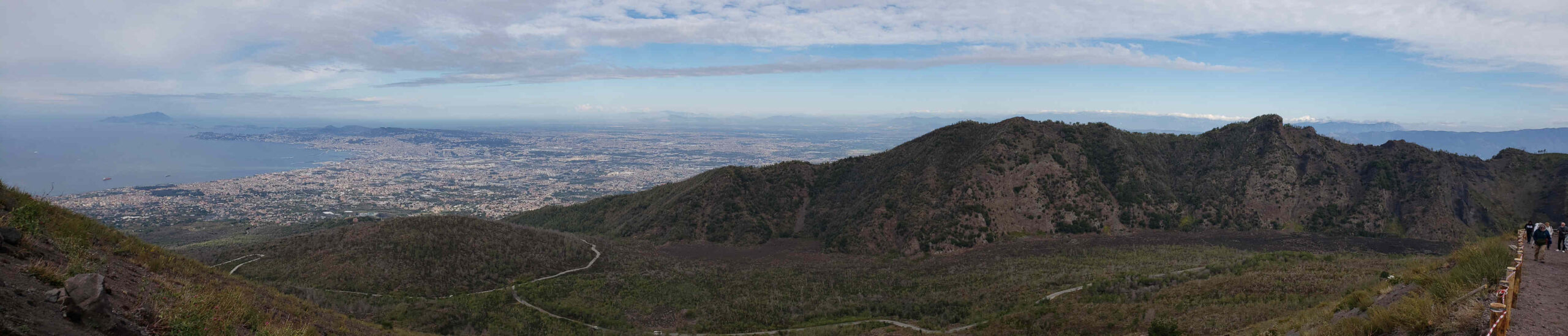
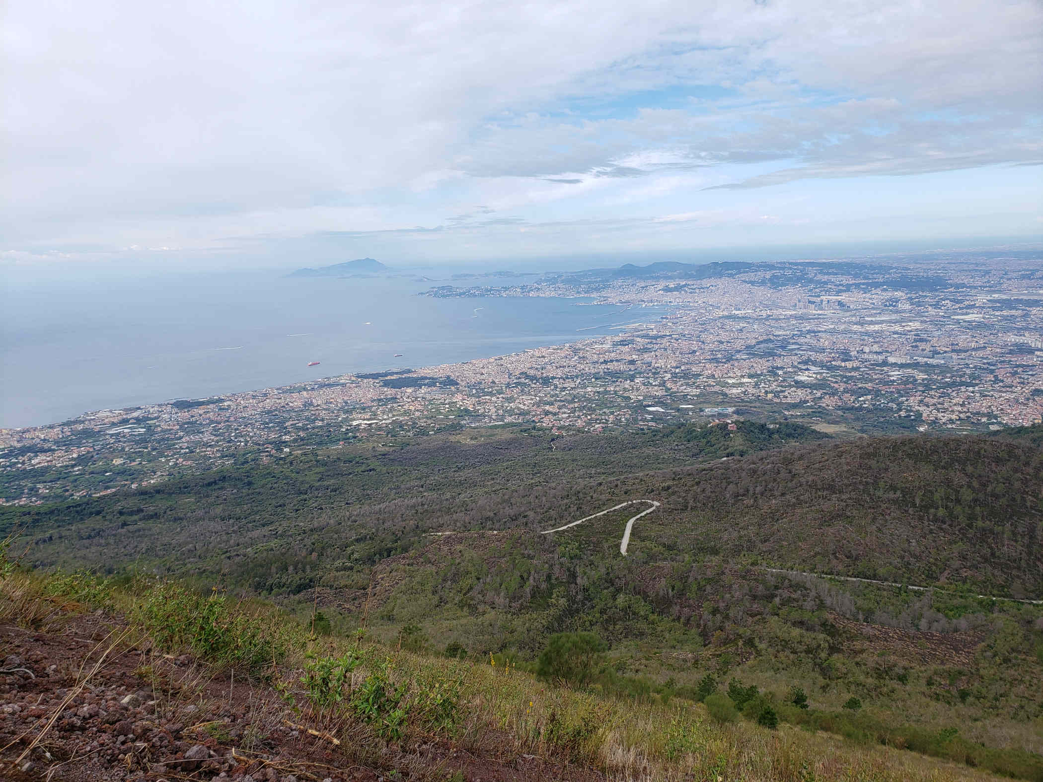
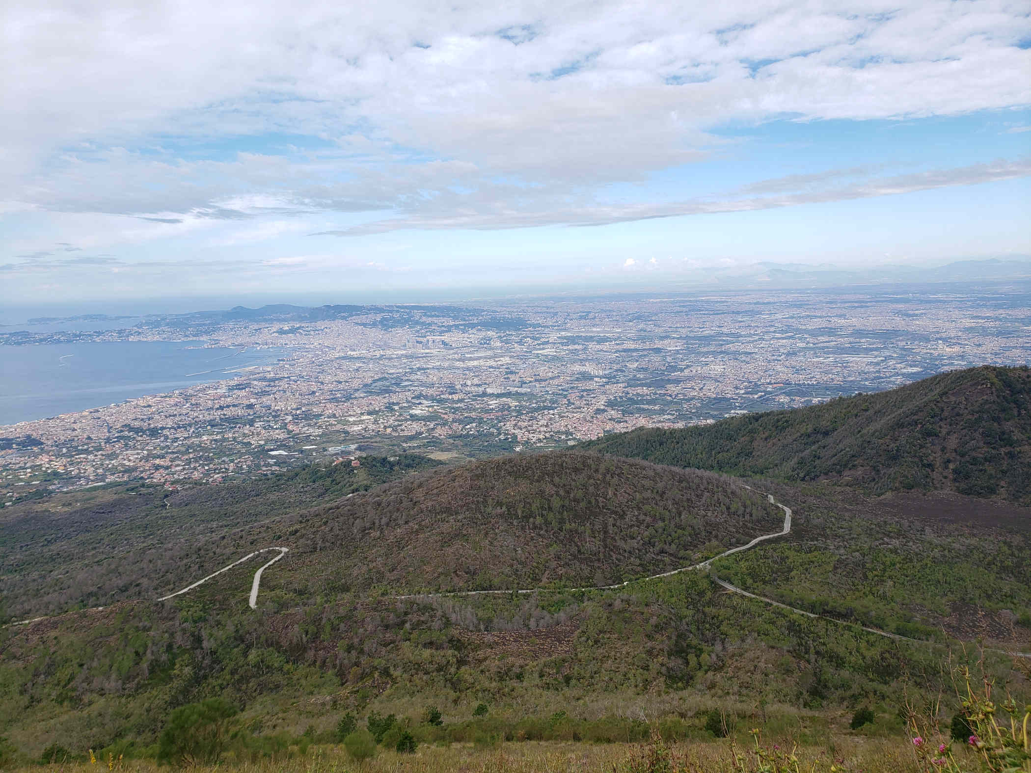
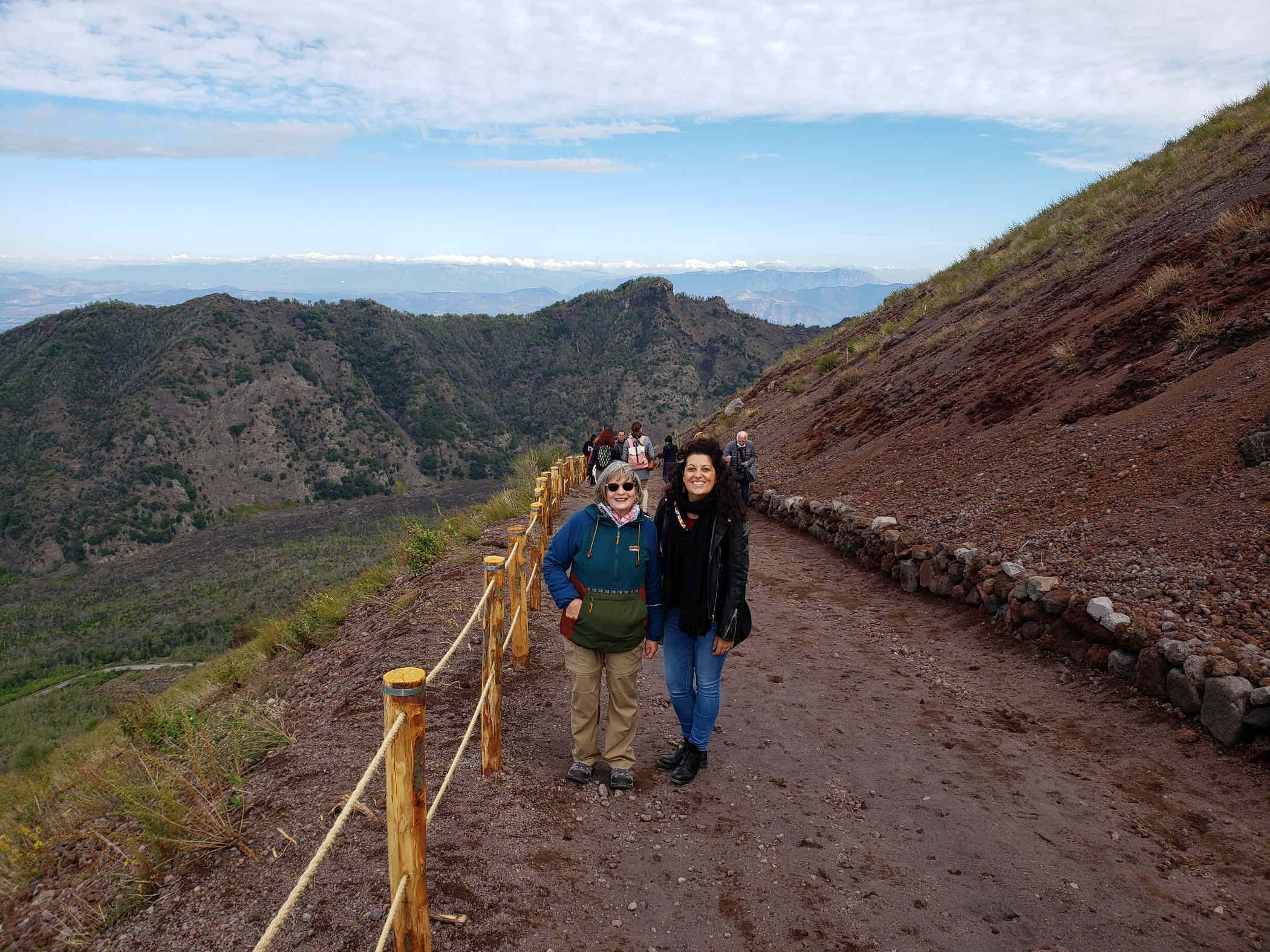
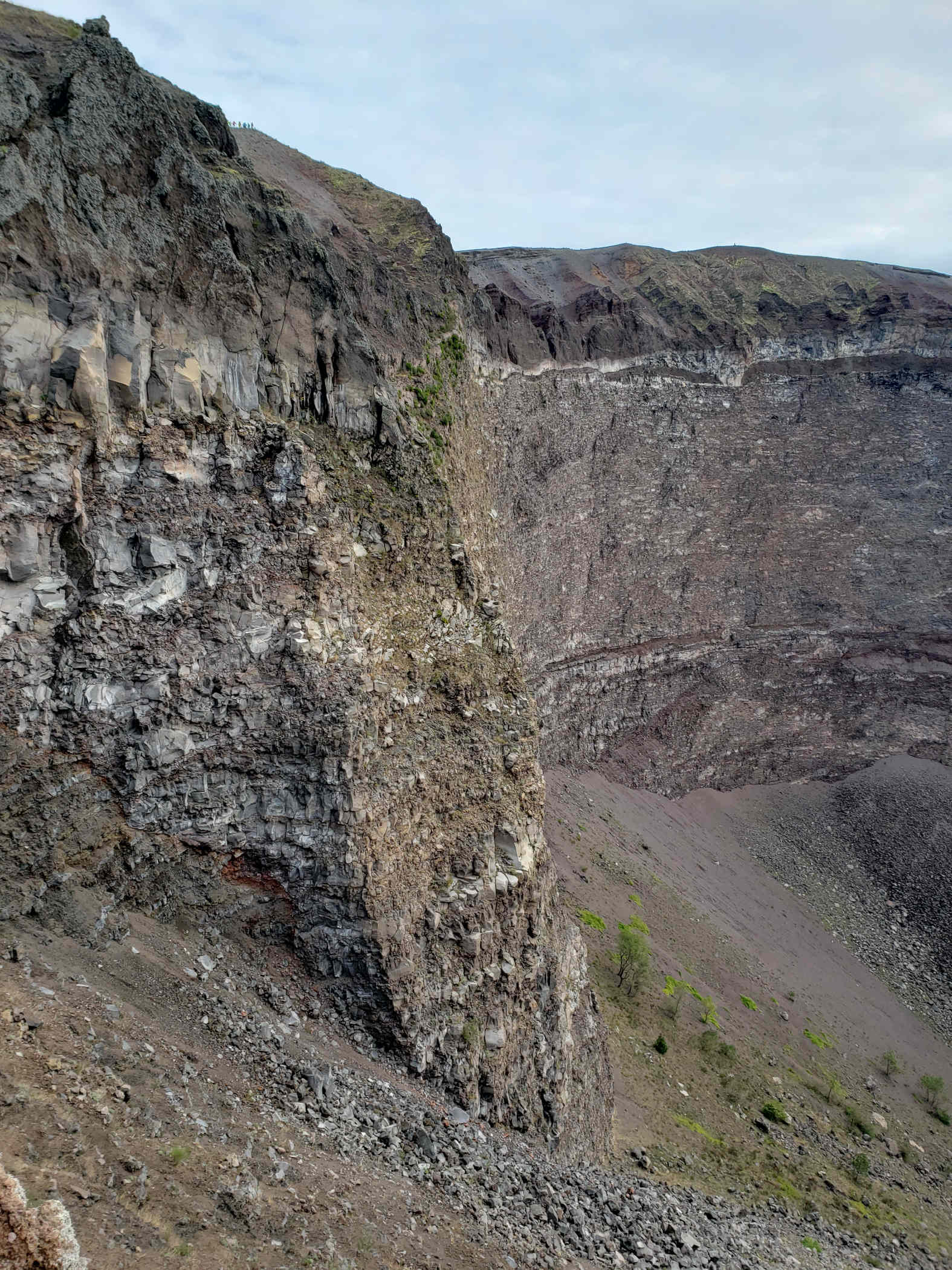
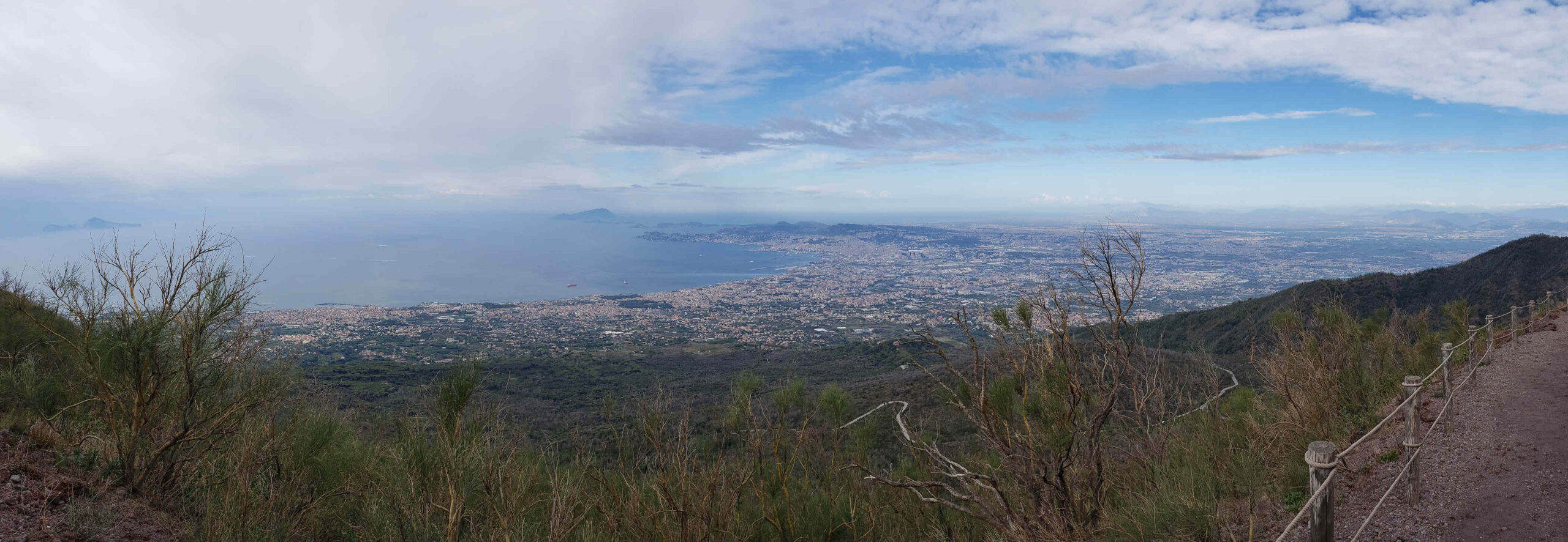
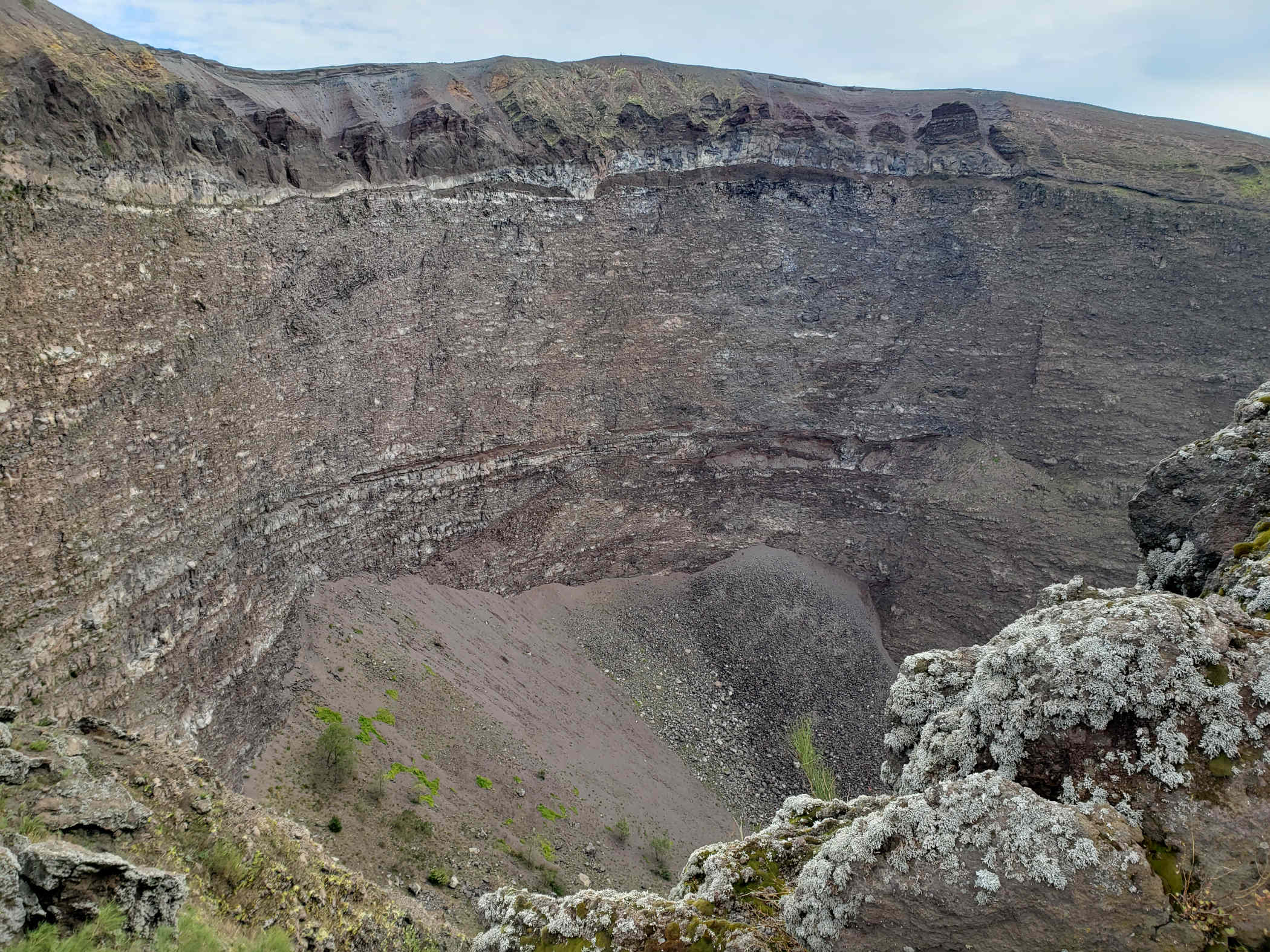
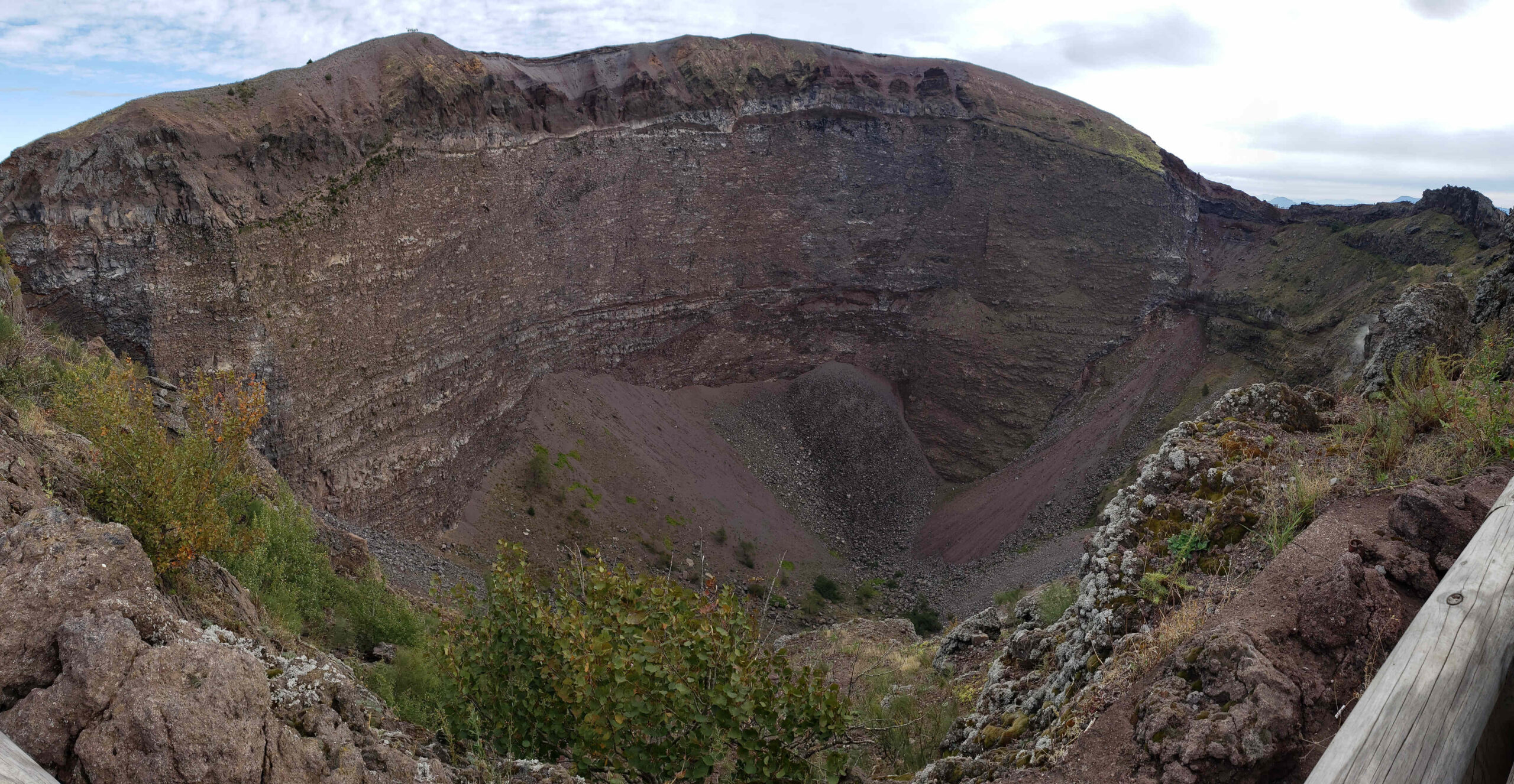
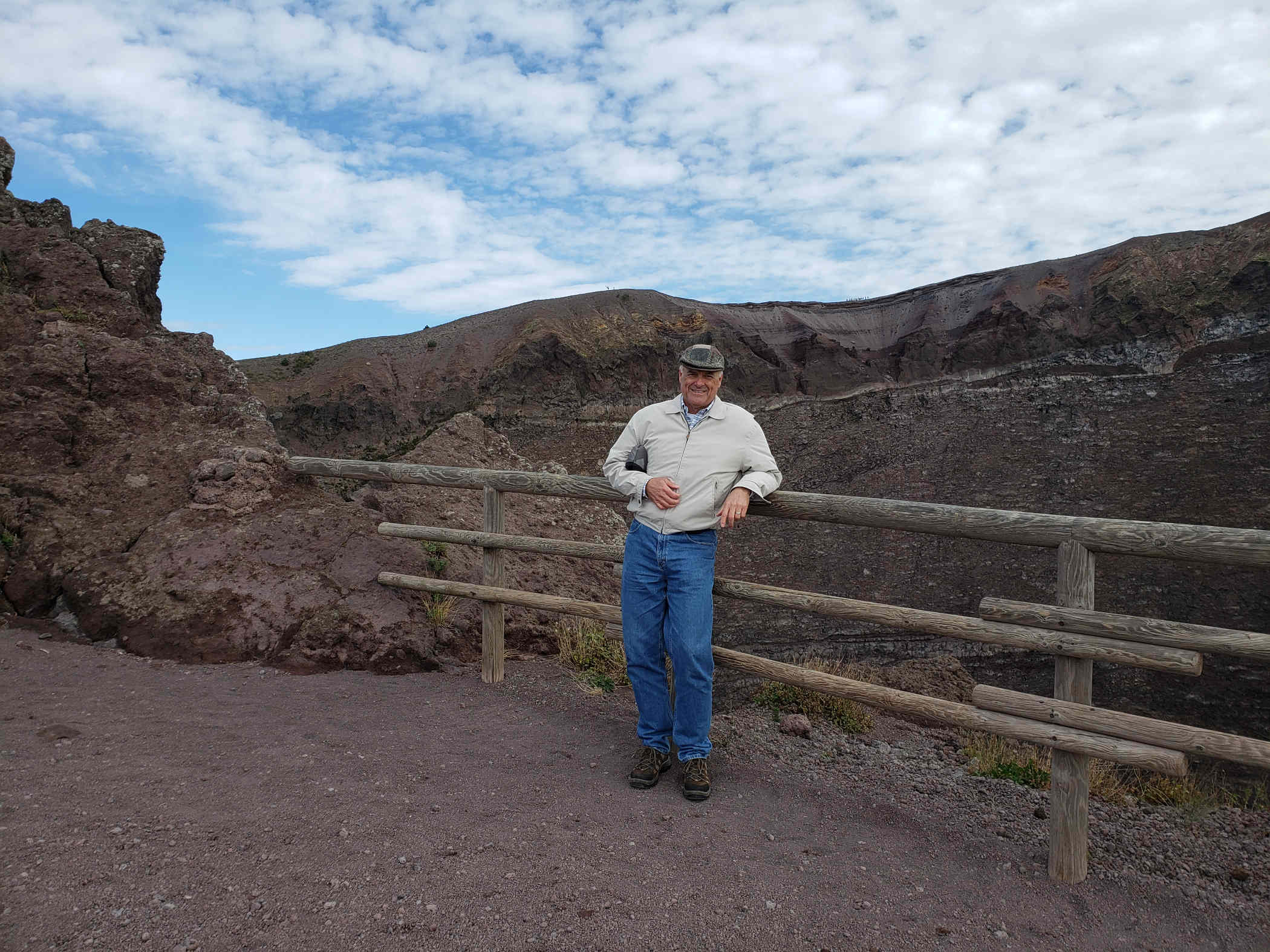
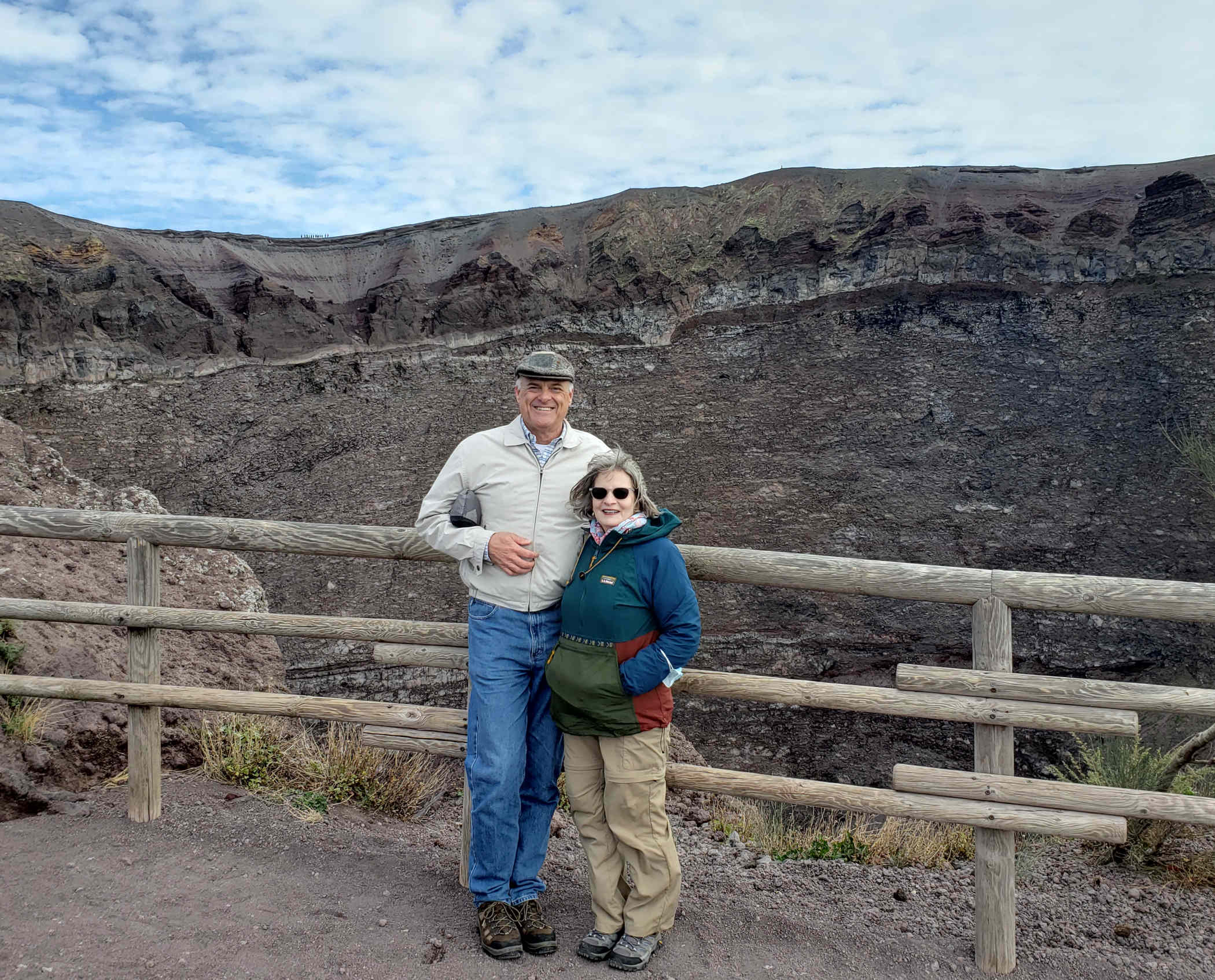
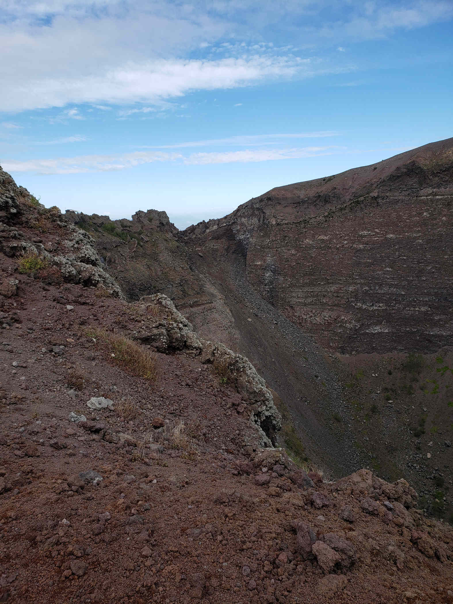
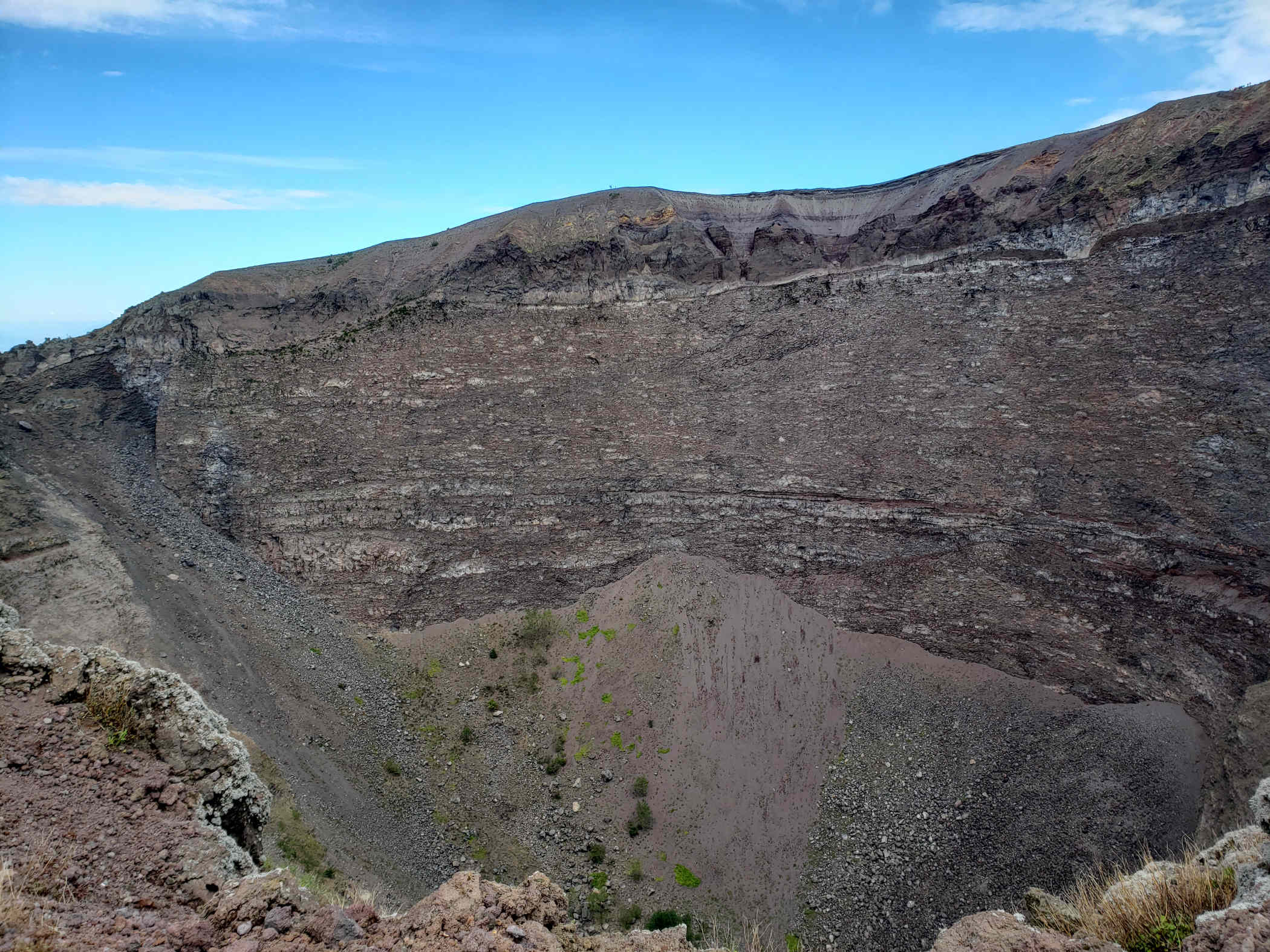
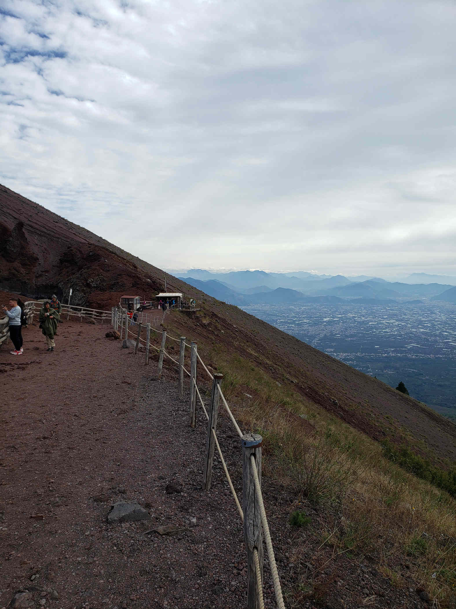
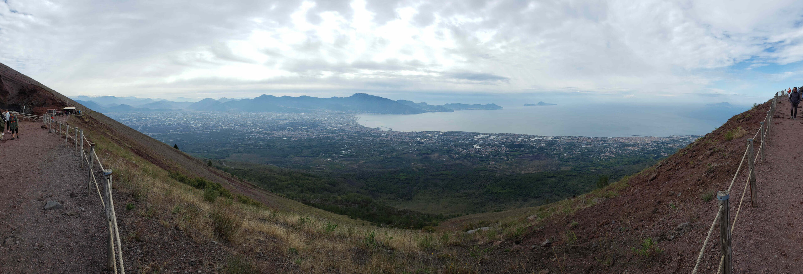
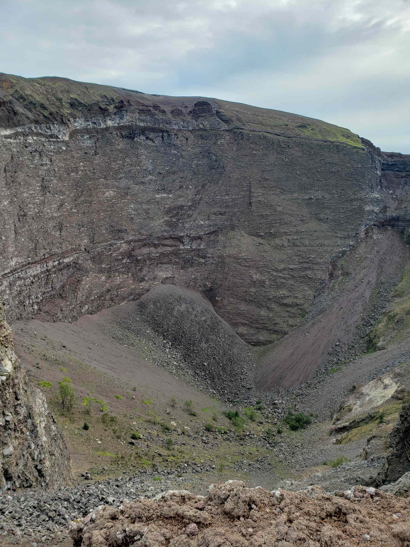
Naples, Italy – Hiking Vesuvius
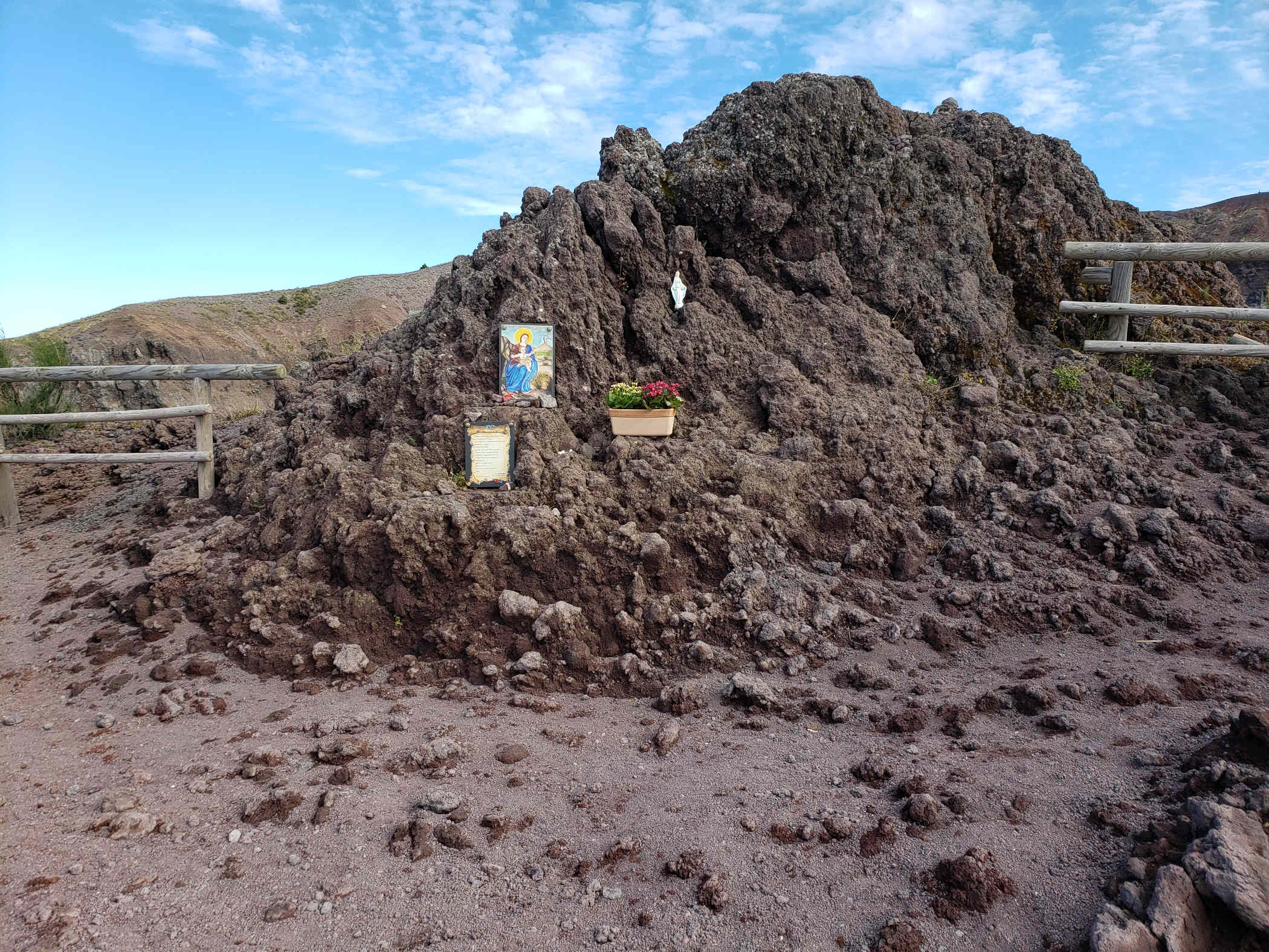
It is possible to hike to the summit of Mount Vesuvius. For a modest fee you can put on your best walking of hiking shoes and climb to the summit from within a few hundred meters in elevation. On a clear day, it is totally worth it, not only for the views of Naples but also for that curious look at what might be going on inside the crater. Our guide Federica, from MindTheNap Tours, along with Pasquale our driver took us there for the day. She has excellent knowledge of the volcano, its history and all its eruptions, as well as other off beat information regarding the consecration of the volcano by the church.
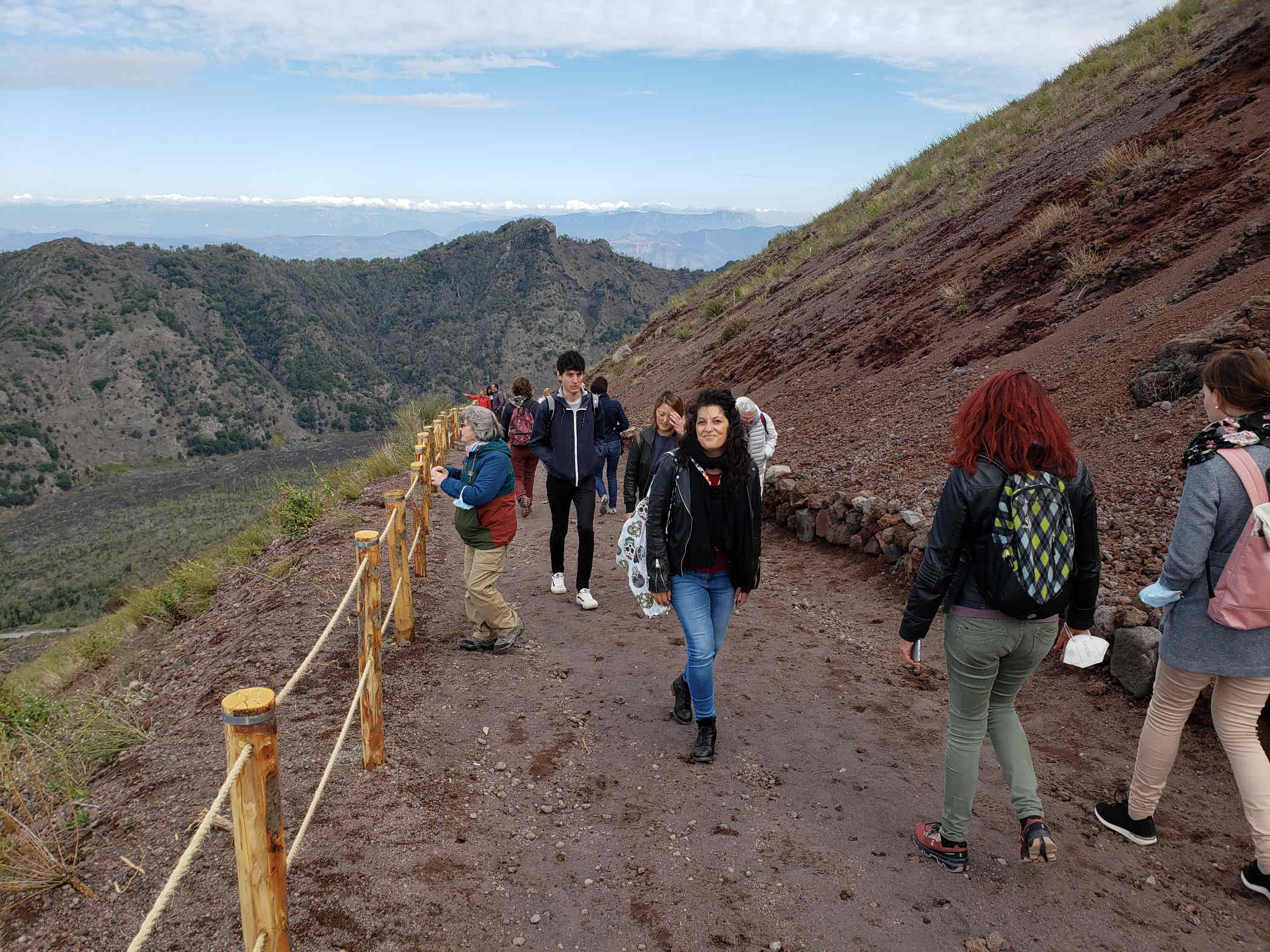
The Climb
The ascent is not very rigorous, there are plenty of old people walking up and they do hand out walking sticks, if you are so inclined. Now, on to the slide show for which I have not captioned anything, since most should be self explanatory.

A few short videos while we were on the way up and at the summit. The audio is probably terrible, it was very windy and cold that day.
The trip up, around the crater wall and back down took us a little over an hour. But it can be completed faster, we just happened to take our time. The drive there on the other hand depends on traffic, which as you can imagine can be problematic in Naples.
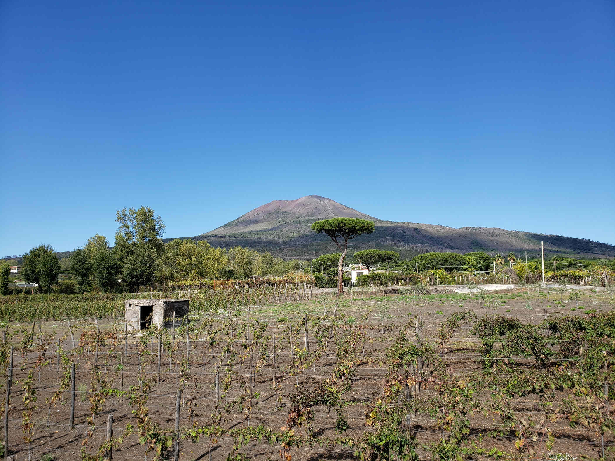
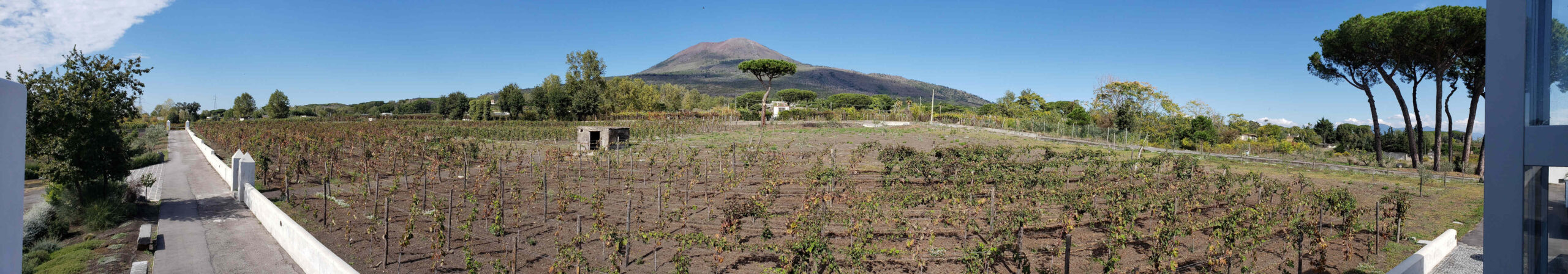
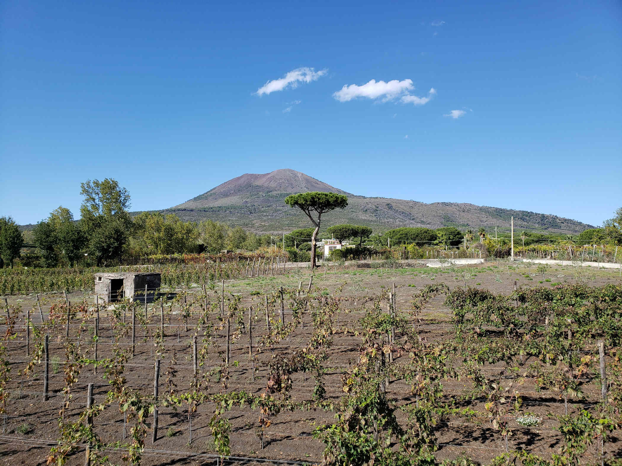
Wineries
At the foot of Mount Vesuvius are many wineries, which grew certain types of varietals, aglianico, caprettone and piedrosso, that work well with the volcanic soils.
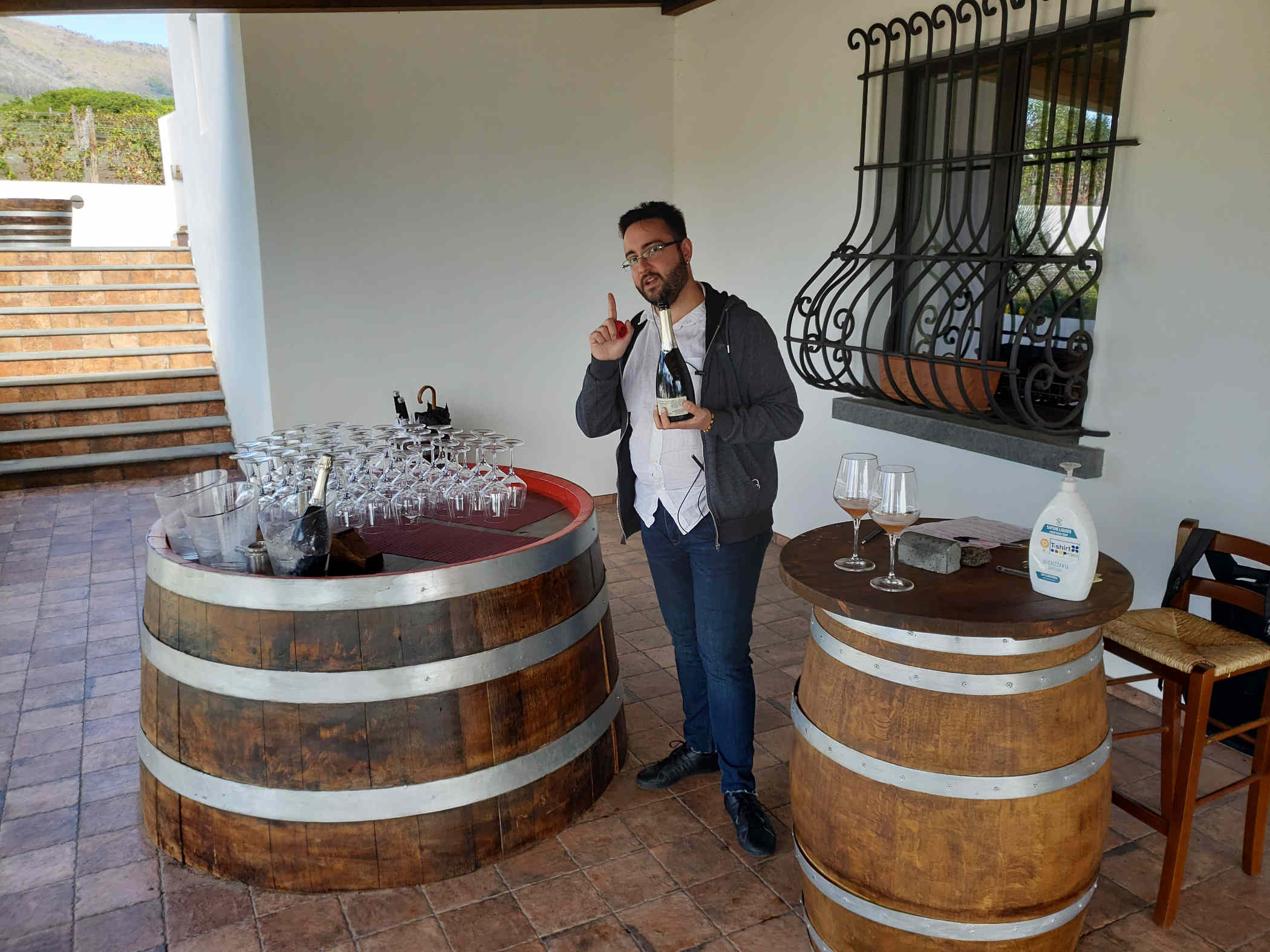
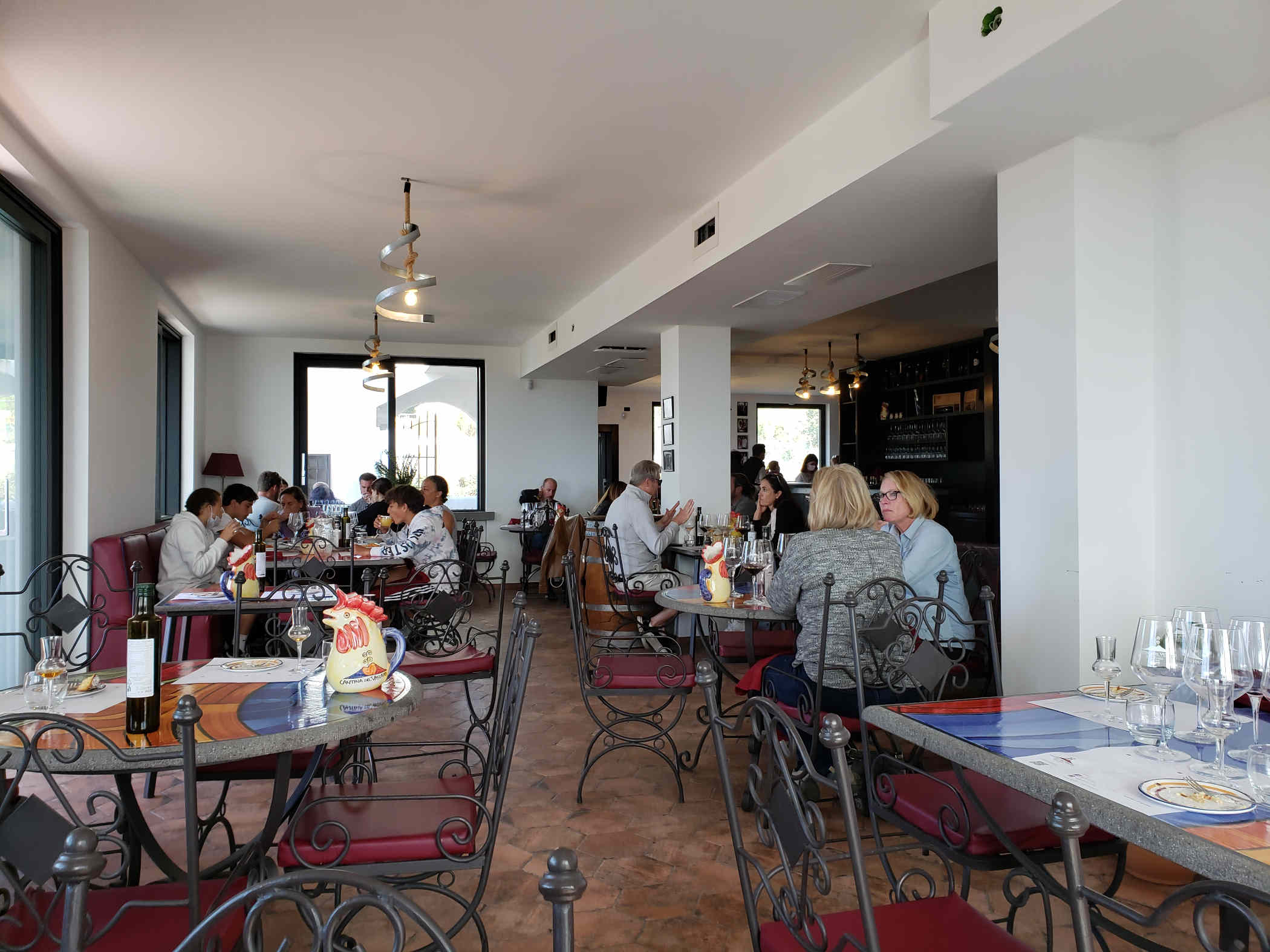
Cantina Del Mount Vesuvio Winery Russo Family
After our ascent up the mountain we spent a few hours in the afternoon having a tour, wine tasting and lunch at the Cantina Del Mount Vesuvio Winery of the Russo Family. We tasted the following before and during our lunch.
– Rosè Sparkling Wine (100% aglianico grapes)
– Lacryma Christi del Vesuvio Bianco DOP (100% caprettone grapes)
– Lacryma Christi Rosato DOP (100% piedirosso grapes)
– Lacryma Christi del Vesuvio Rosso DOP (100% piedirosso grapes)
– Lacryma Christi Riserva (80% piedirosso e 20% aglianico grapes)
– Passito Bianco IGT (50% caprettone, 50% falanghina grapes)