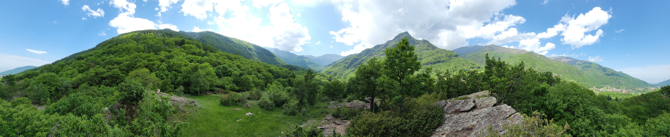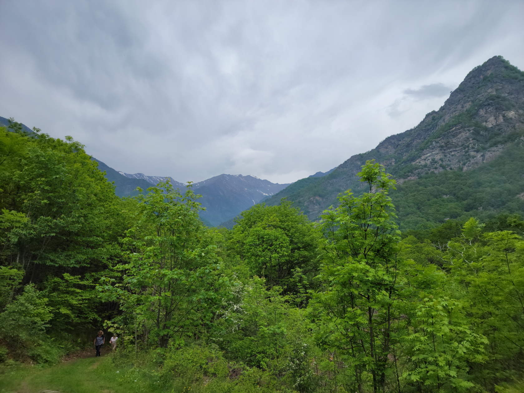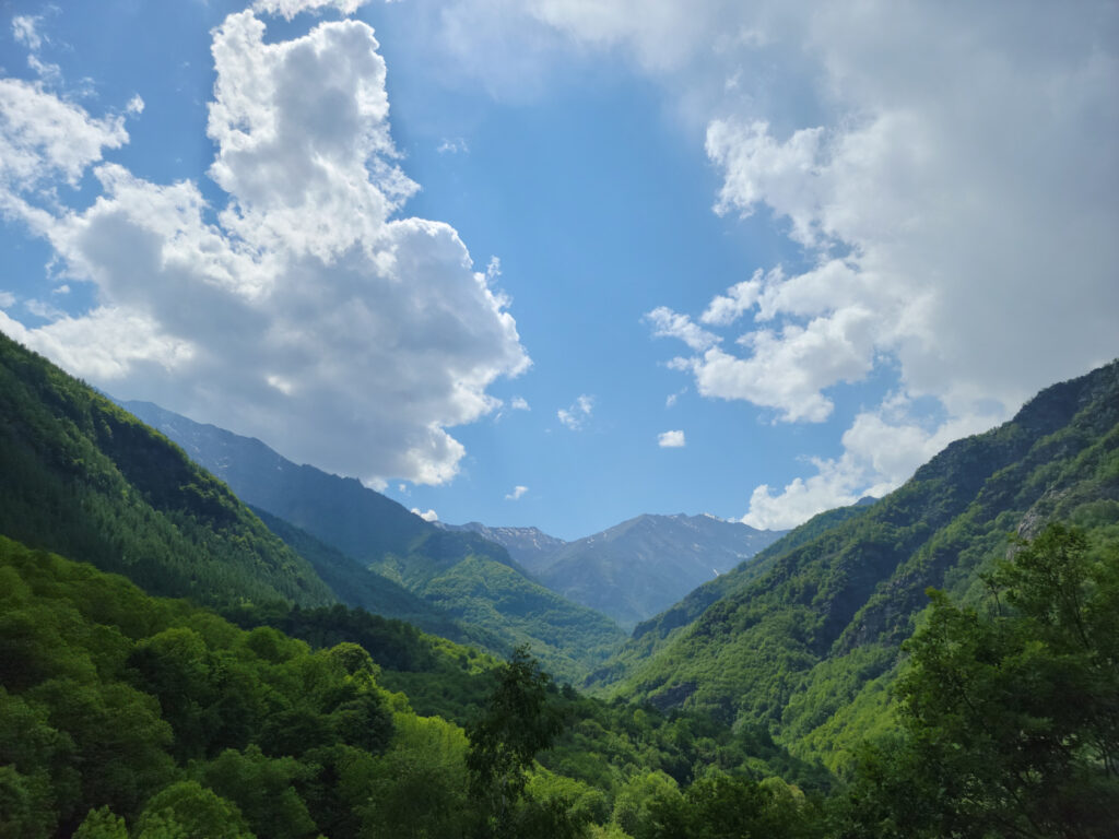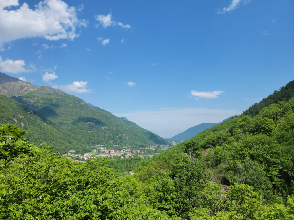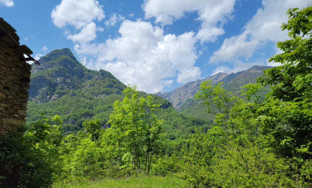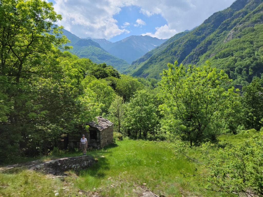
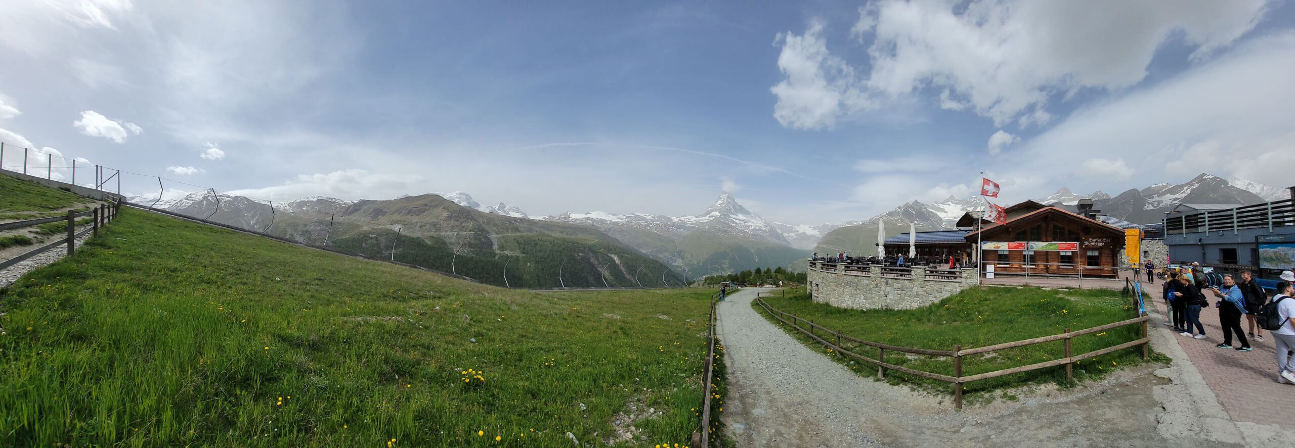
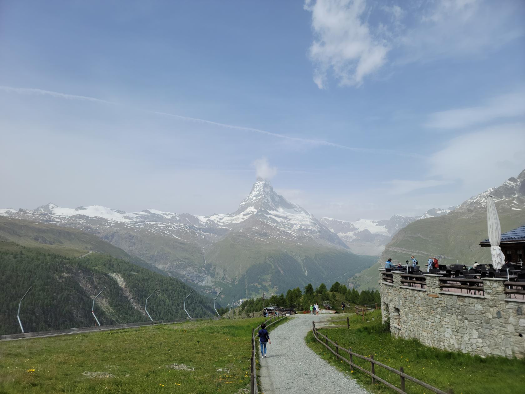
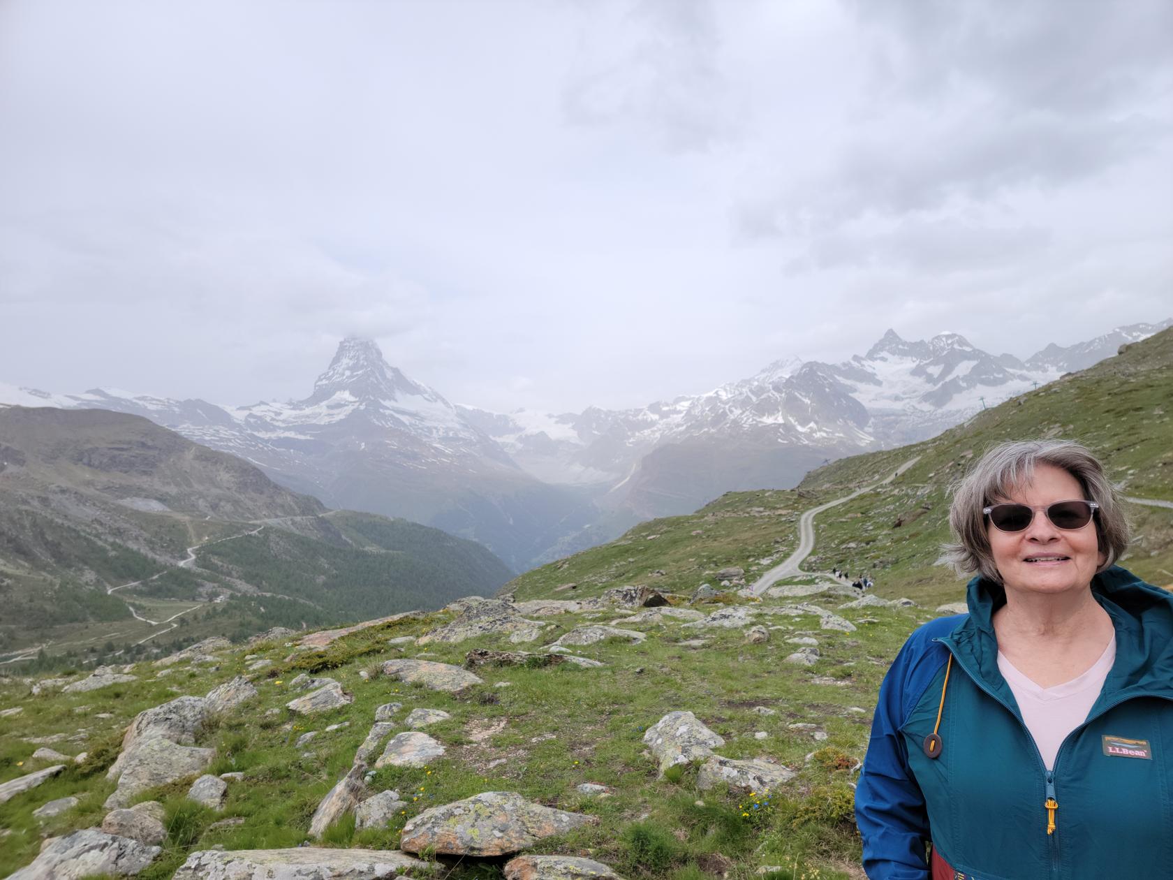
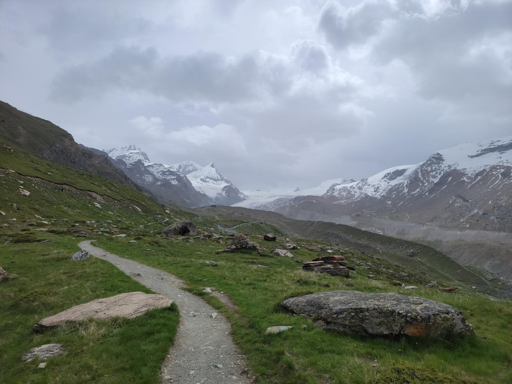
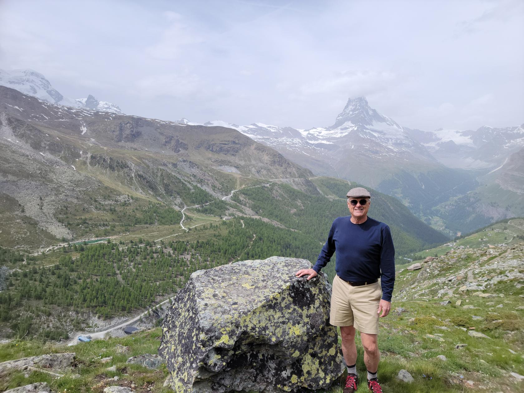
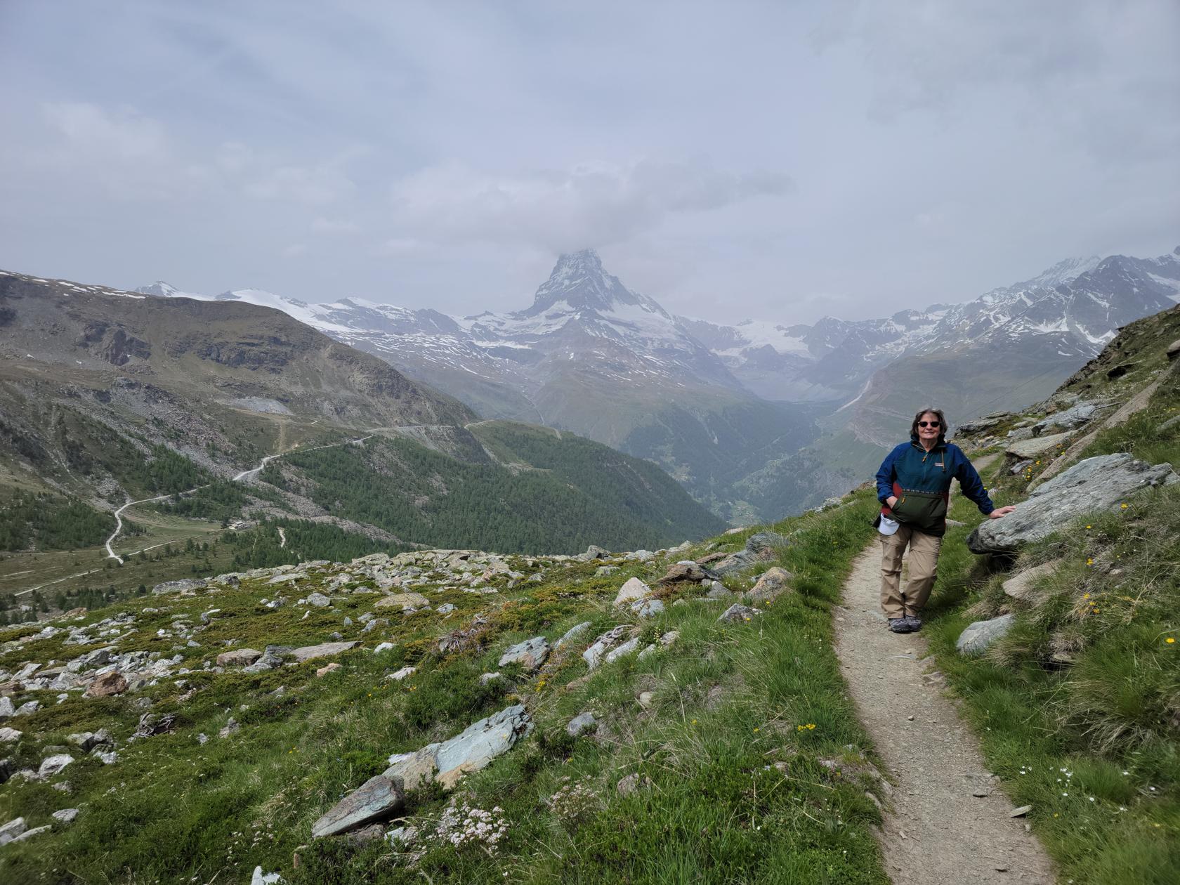
Part of the reason for even going to Zermatt has to be the hiking. Not only are the views breathtaking, even on a marginal day, but the air is fresh and clean and very enjoyable. And then there are the mountains, Zermatt has them and much more.
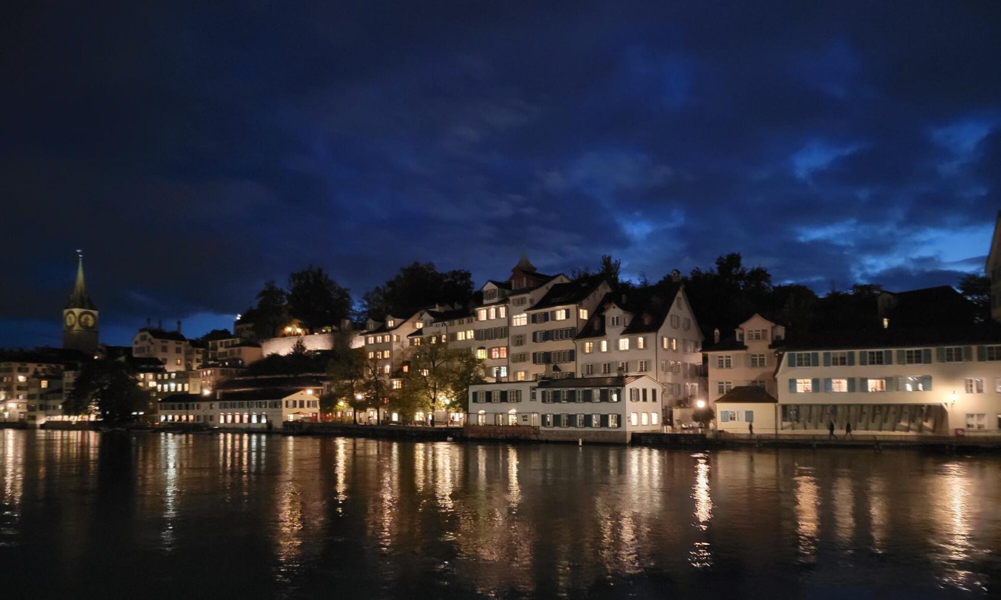
Zermatt
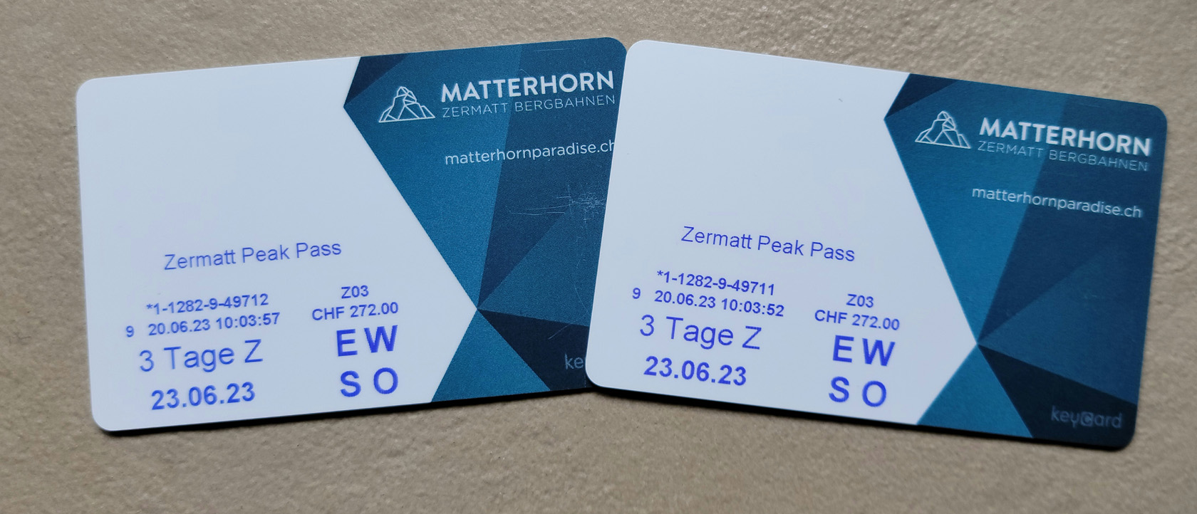
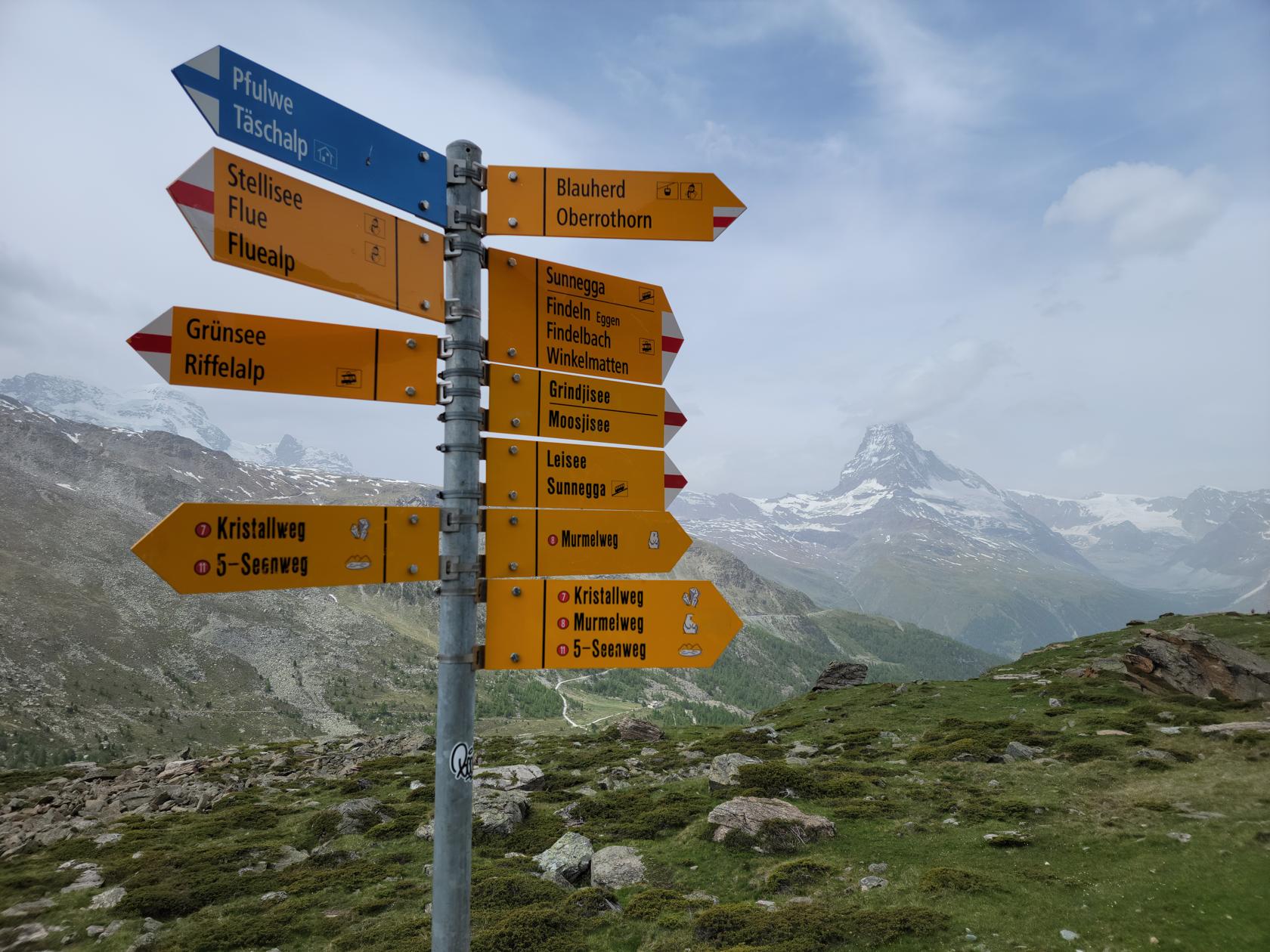
To get anywhere, aside from the town, will require time, energy and a lot of walking. Or, you can purchase tickets to get up the mountains. These can be purchased separately, multi-day pass or the flexi-pass. We found the multi-day pass to be perfect for our needs, since we had no intention of skipping any days (they get a small premium for the flexi-pass, not sure why). The Peak Pass that we purchased, allowed us to travel to all three experiences, the Rothorn (Sunnegga-Blauherd), Gornergrot and the Matterhorn Glacier Experience.
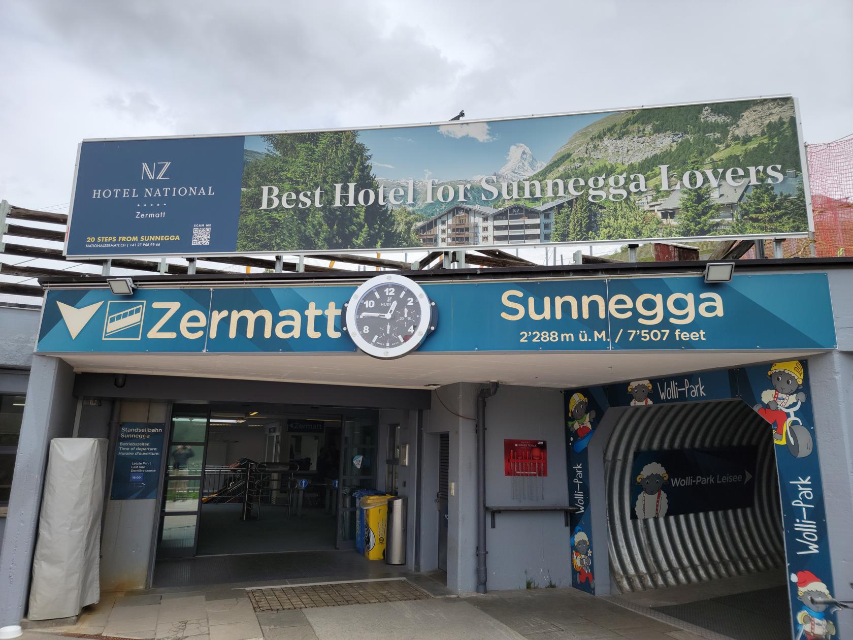
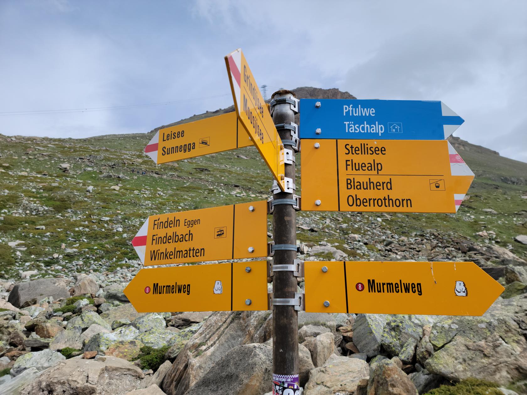
Sunnegga
To get to Sunnegga and Blauherd you can either employ one of the hiking trails or take the cable car up to Sunnegga. From there you can start your hike or take a gondola ride to Blauherd, which gets you closer to the Stellisee, if that is your destination. From there however, you will have to hike.
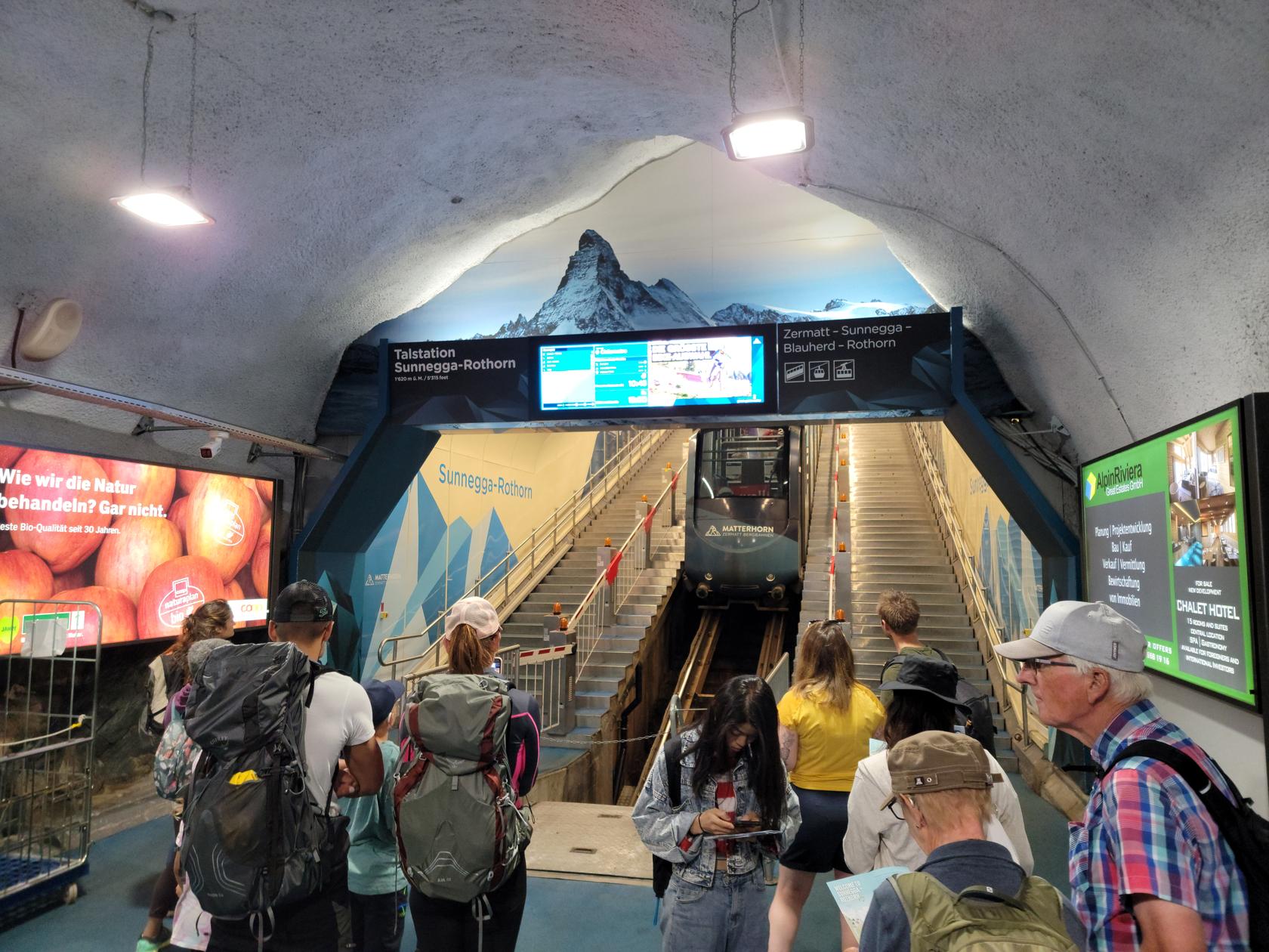
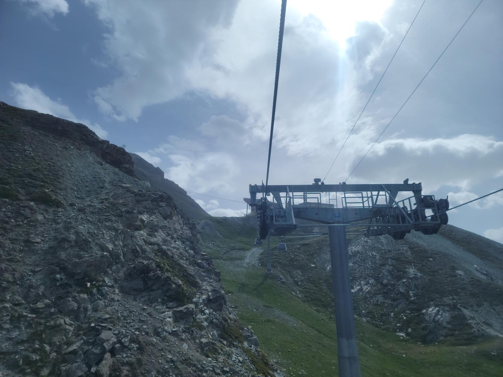

The gondola ride goes up and down over some very treacherous terrain. So we decided we would take the gondola ride up and hike back down to Sunnegga.
Blauherd – Stellisee
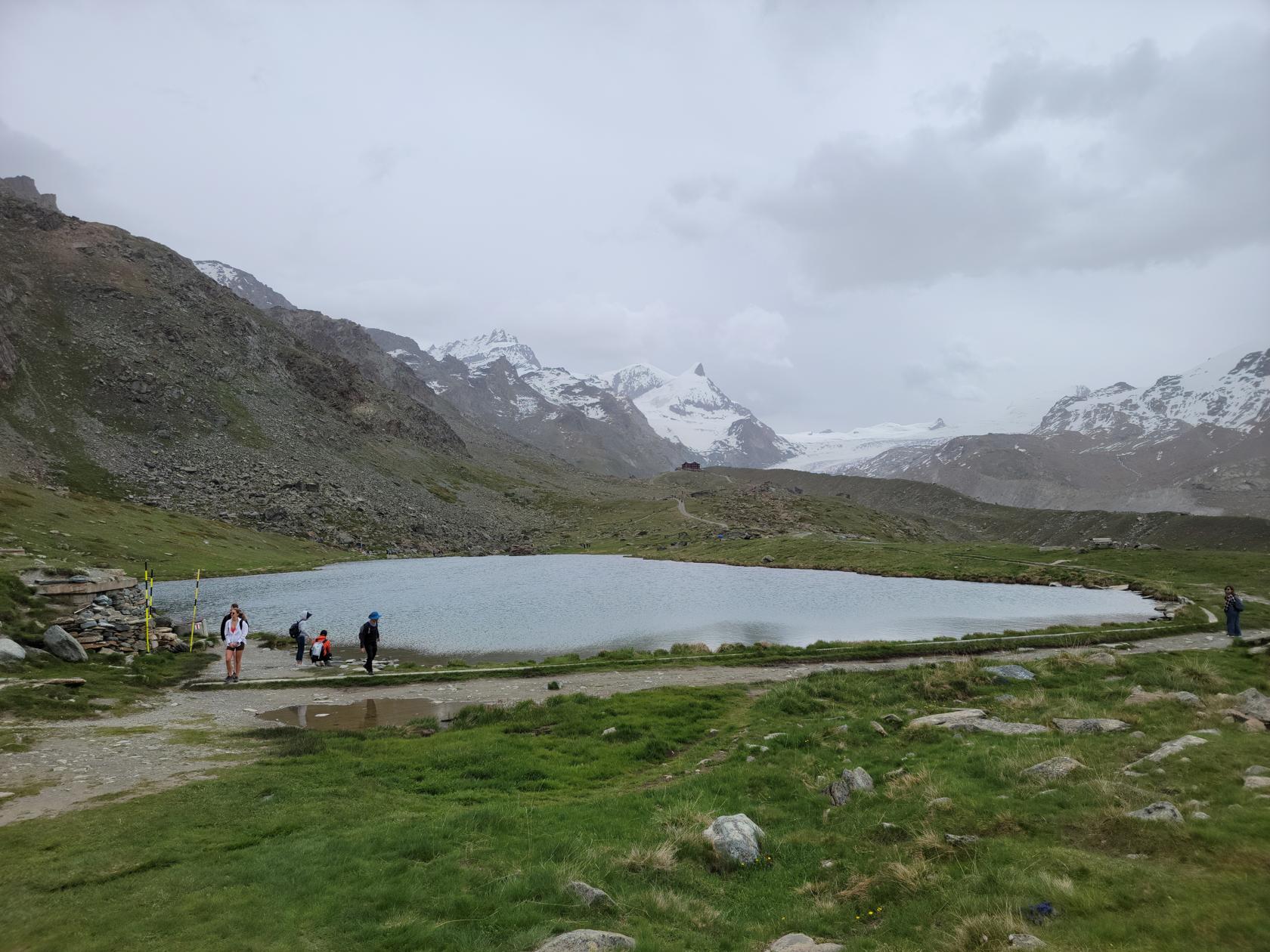
The Stellisee is a good fifteen minute hike from the Blauherd gondola terminal over rather even, if not slightly downward sloping terrain. It is rather easy and should afford most people no difficulties.
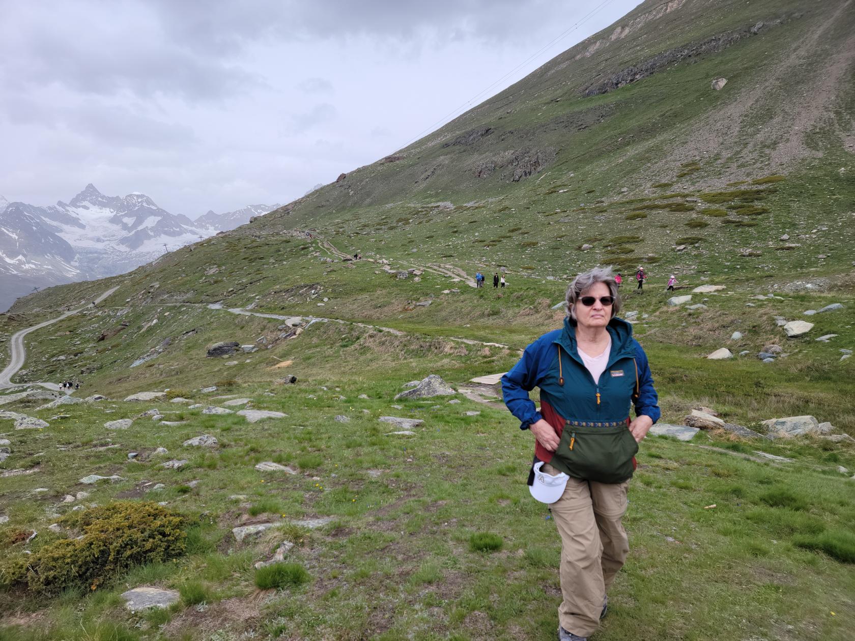
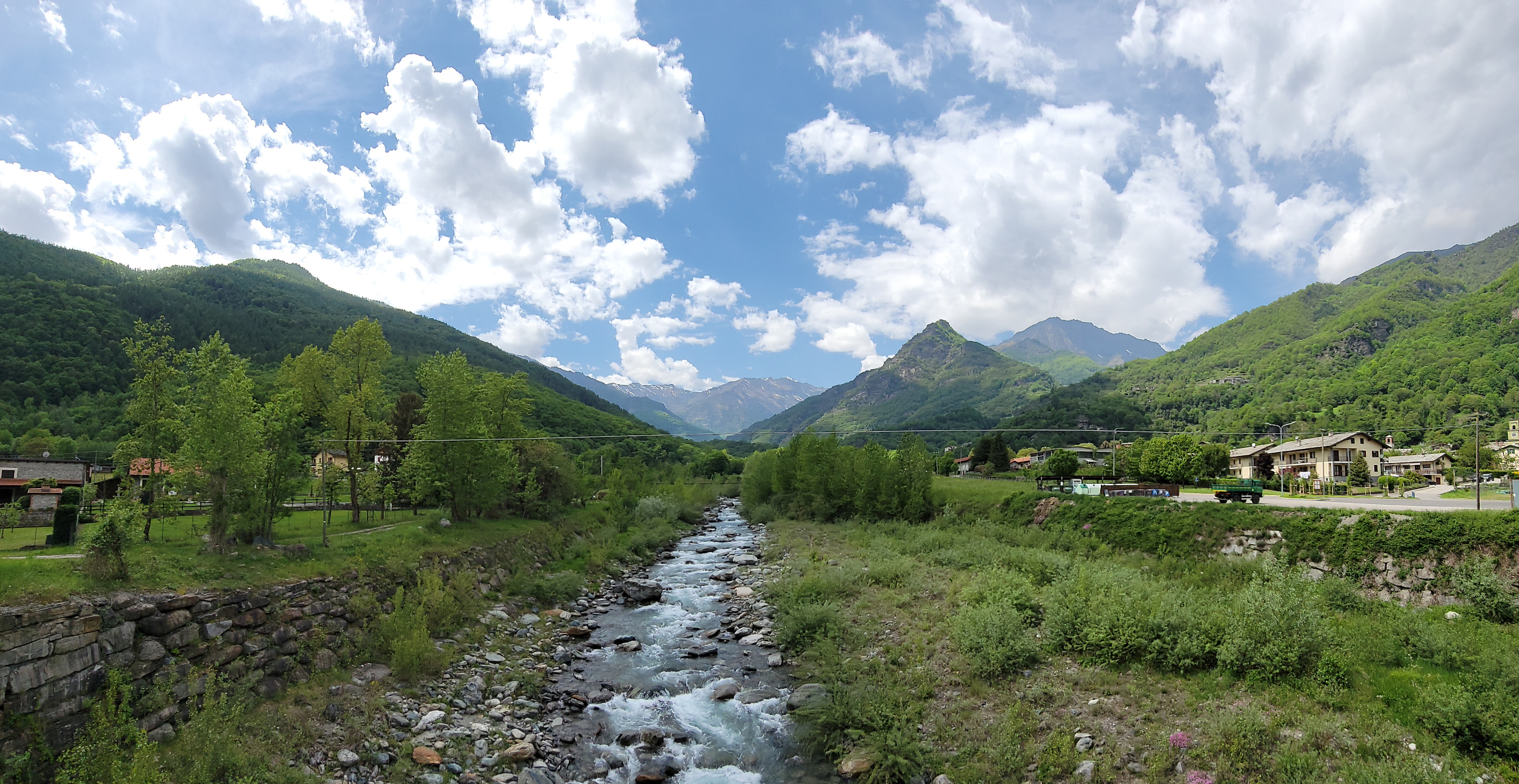
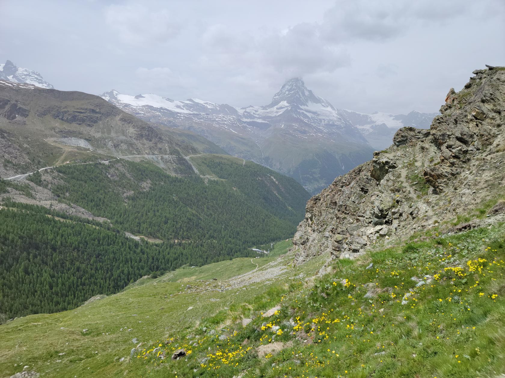
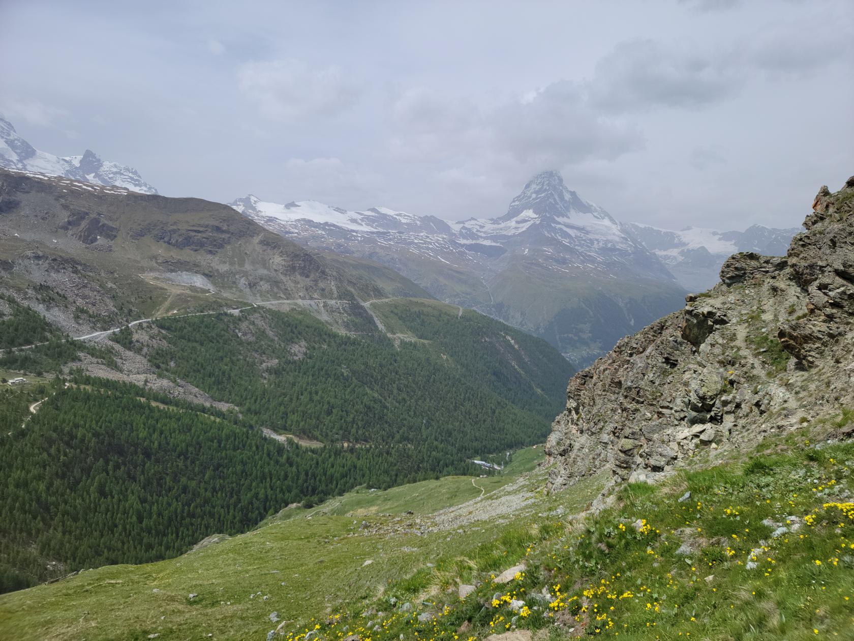
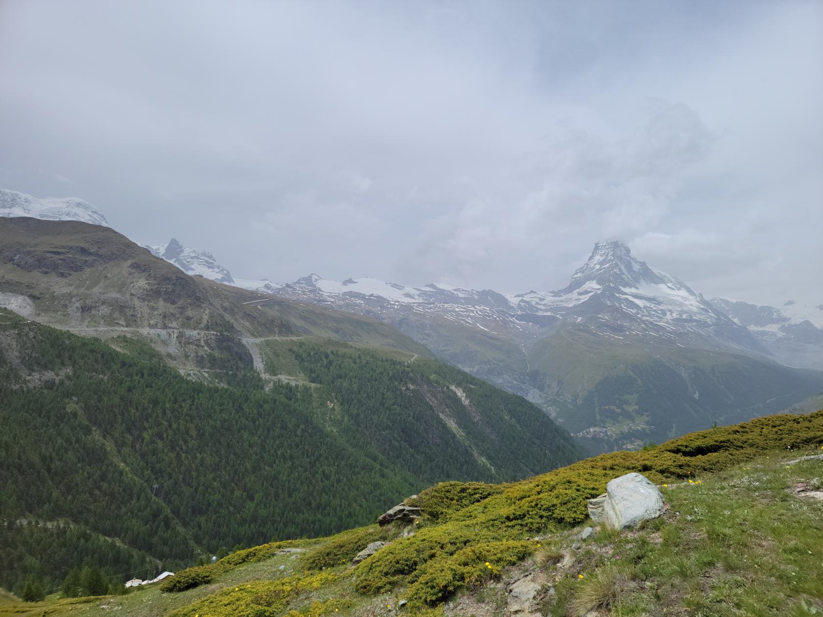
The Stellisee is a rather barren, pristine alpine lake nestled on the side of the Unterrothorn. Many people will usually hike up to the refuge on the other side, but since the conditions were not ideal, we decided to just take a photograph of it and start our hike back down.
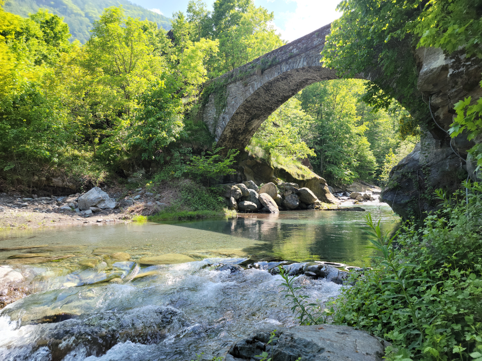
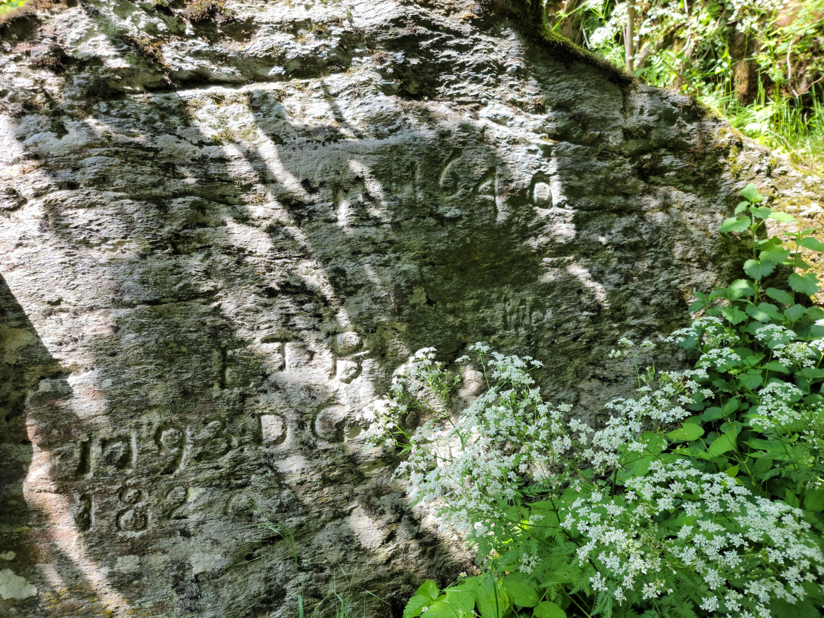
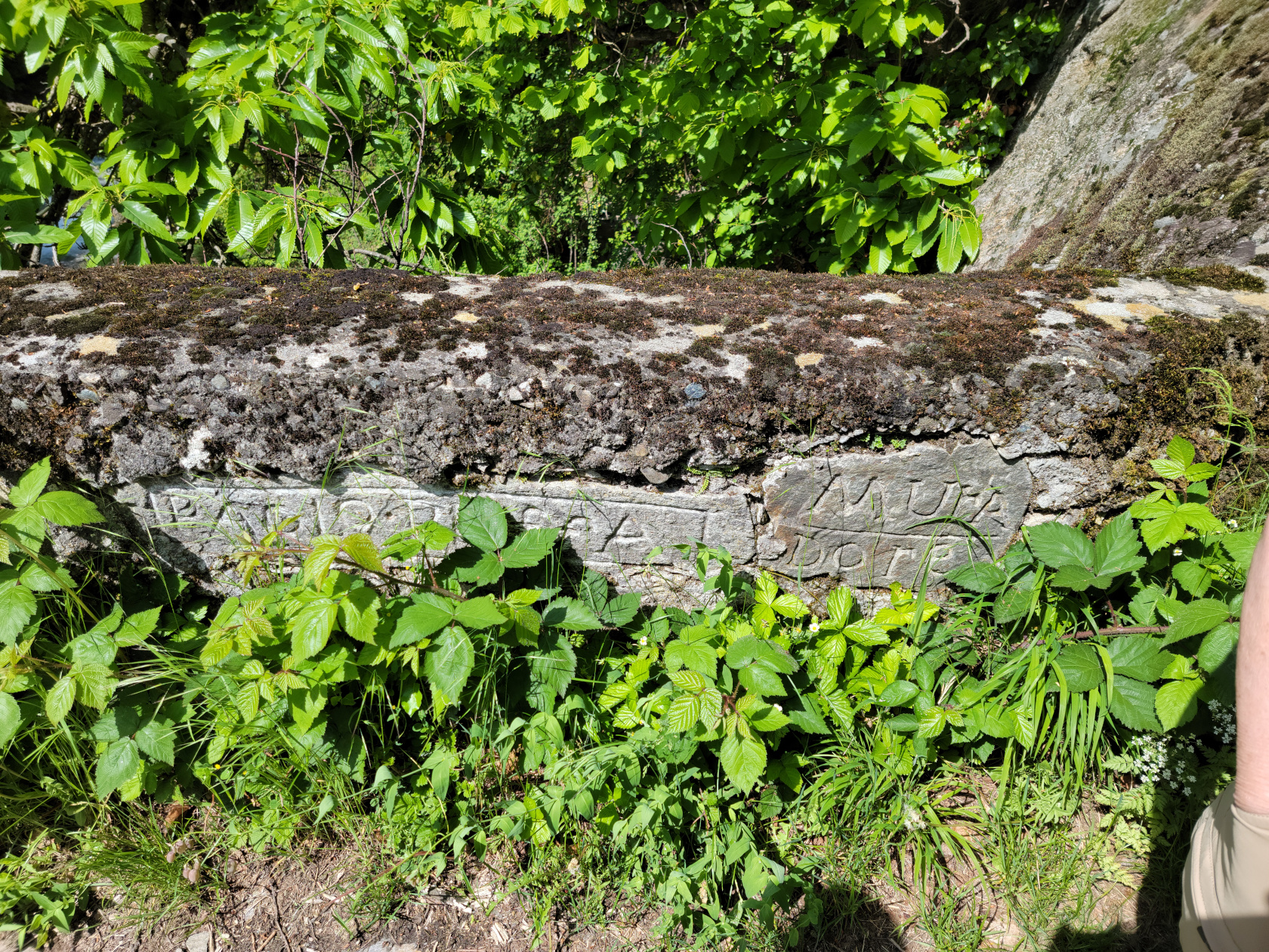
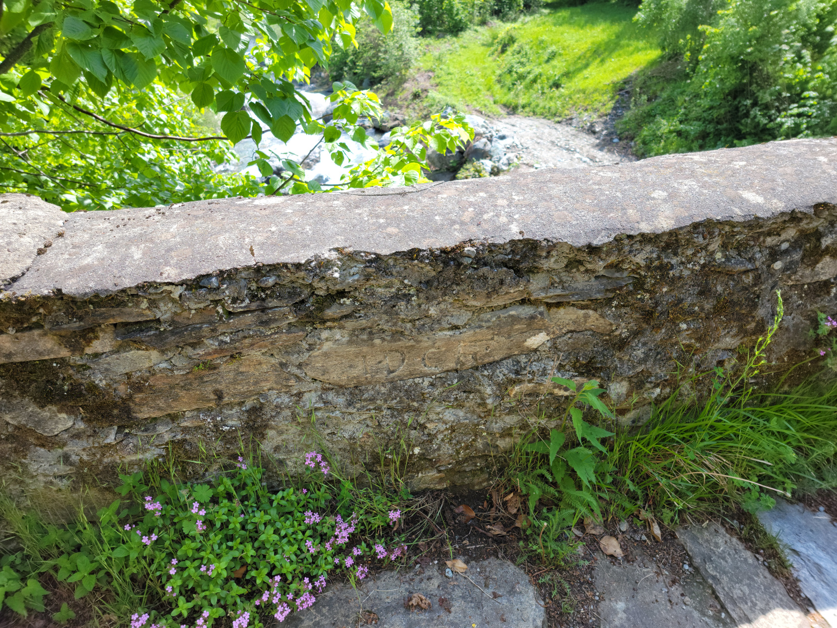
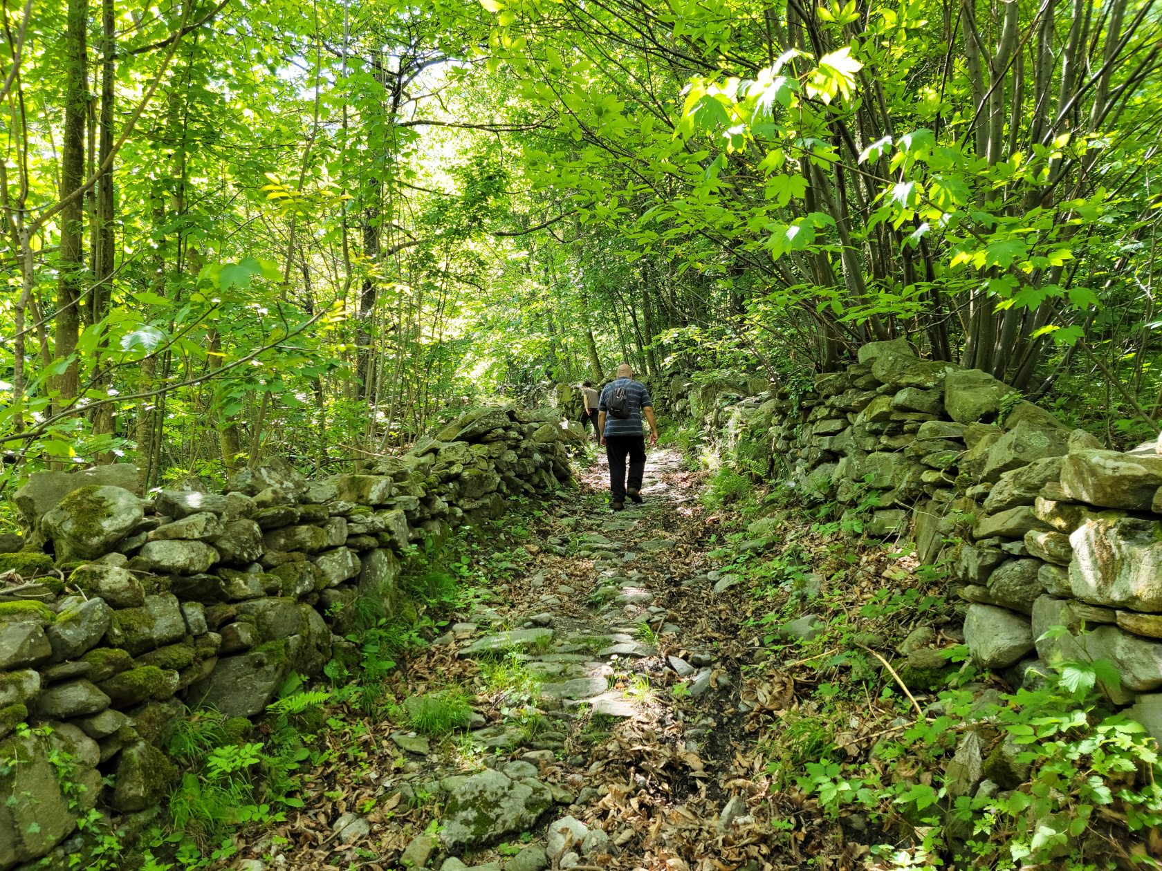
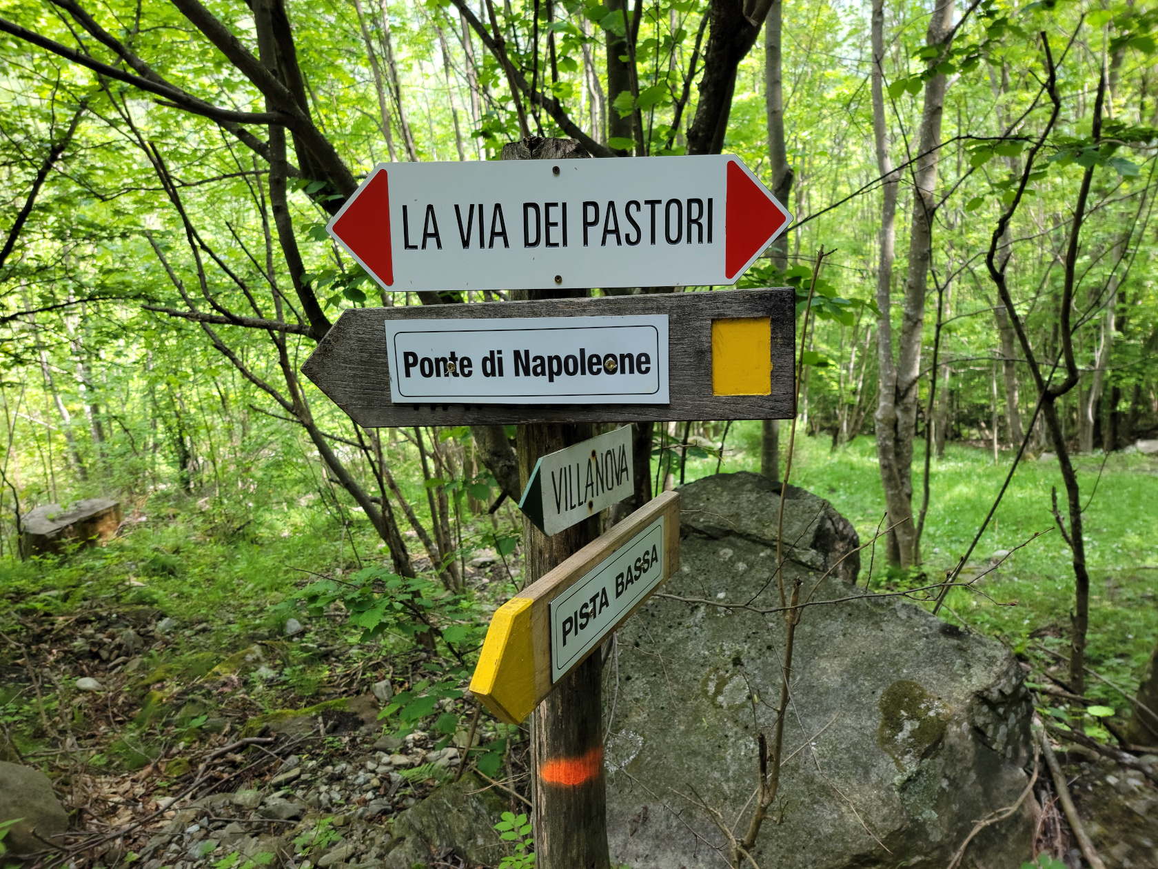
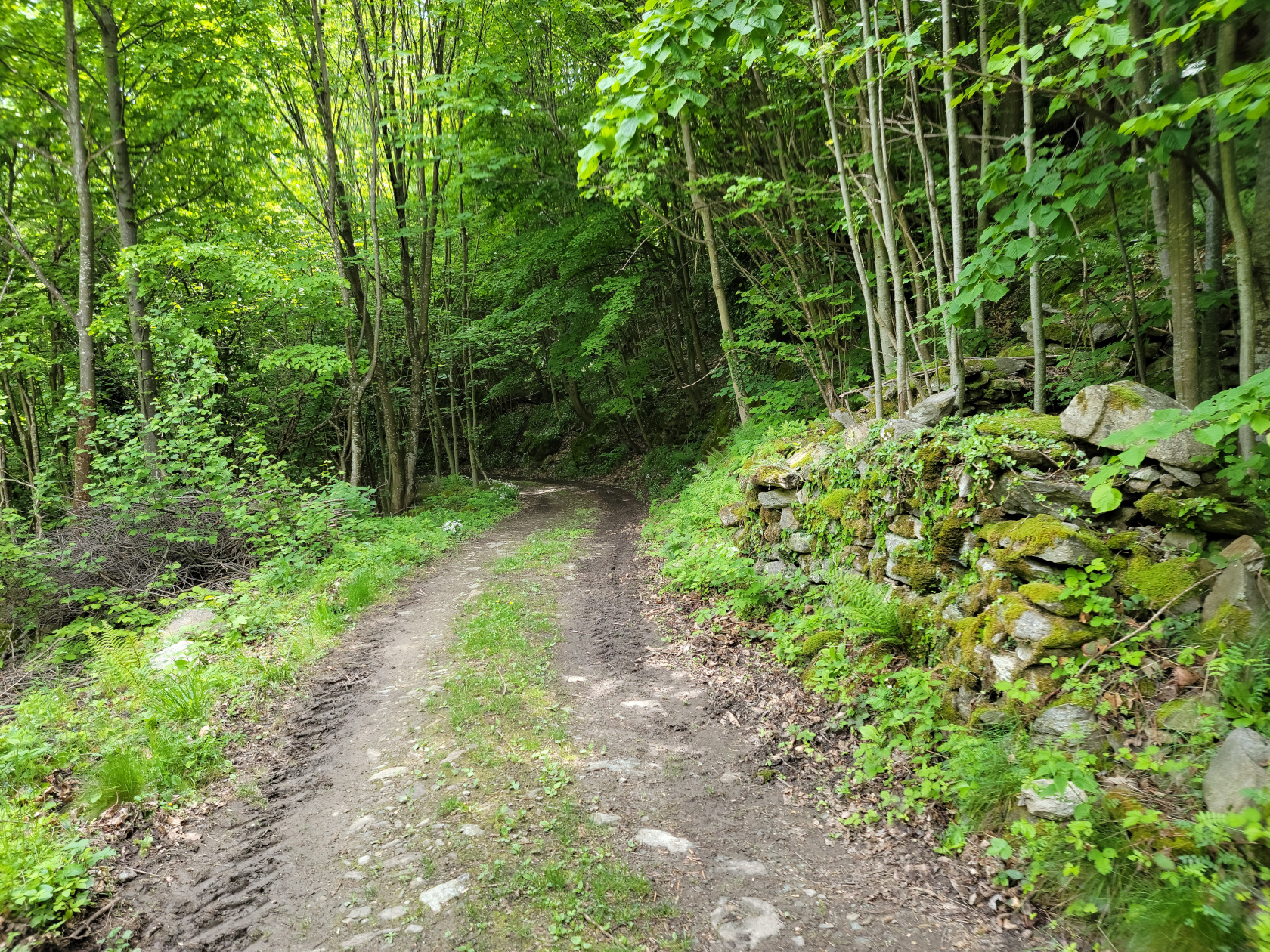
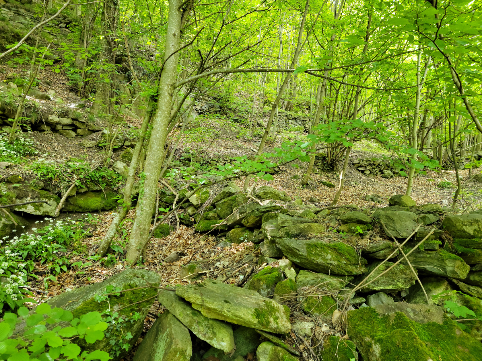
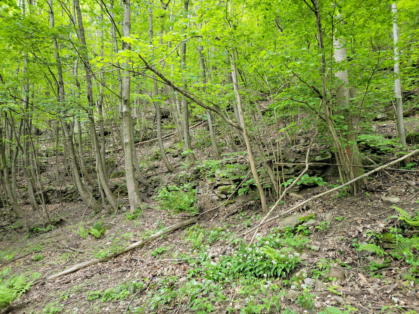
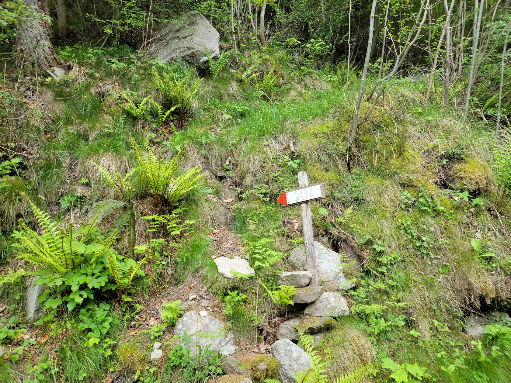
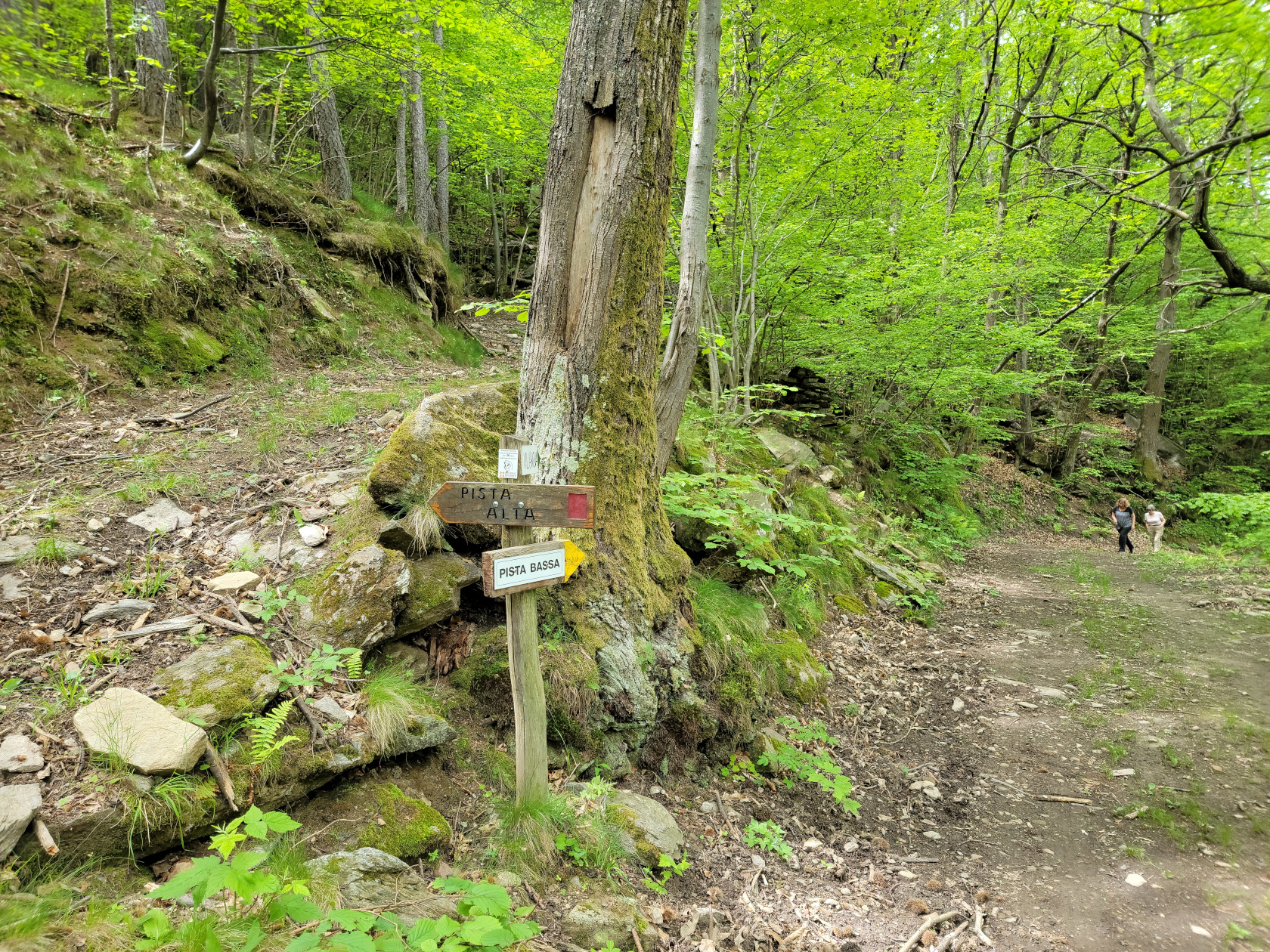
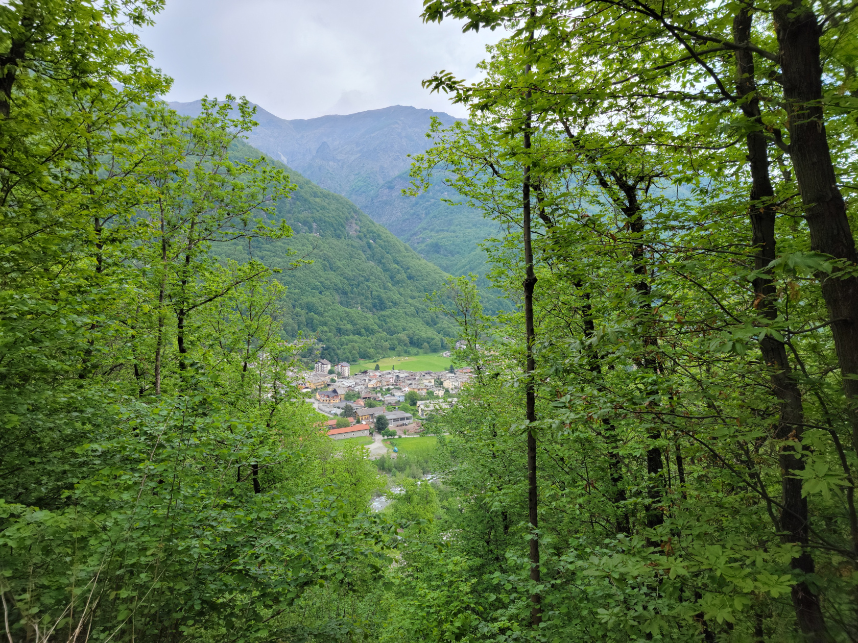
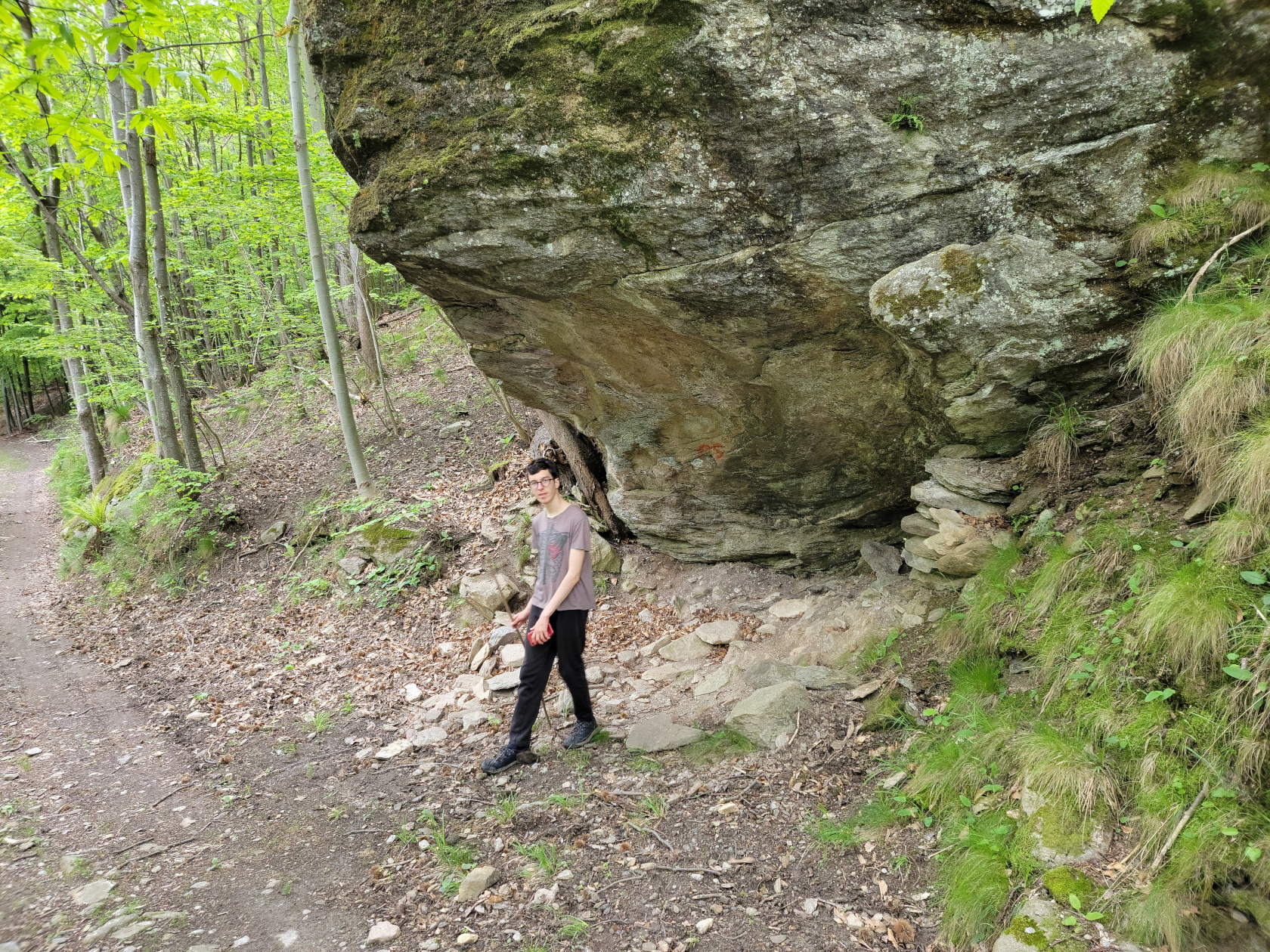
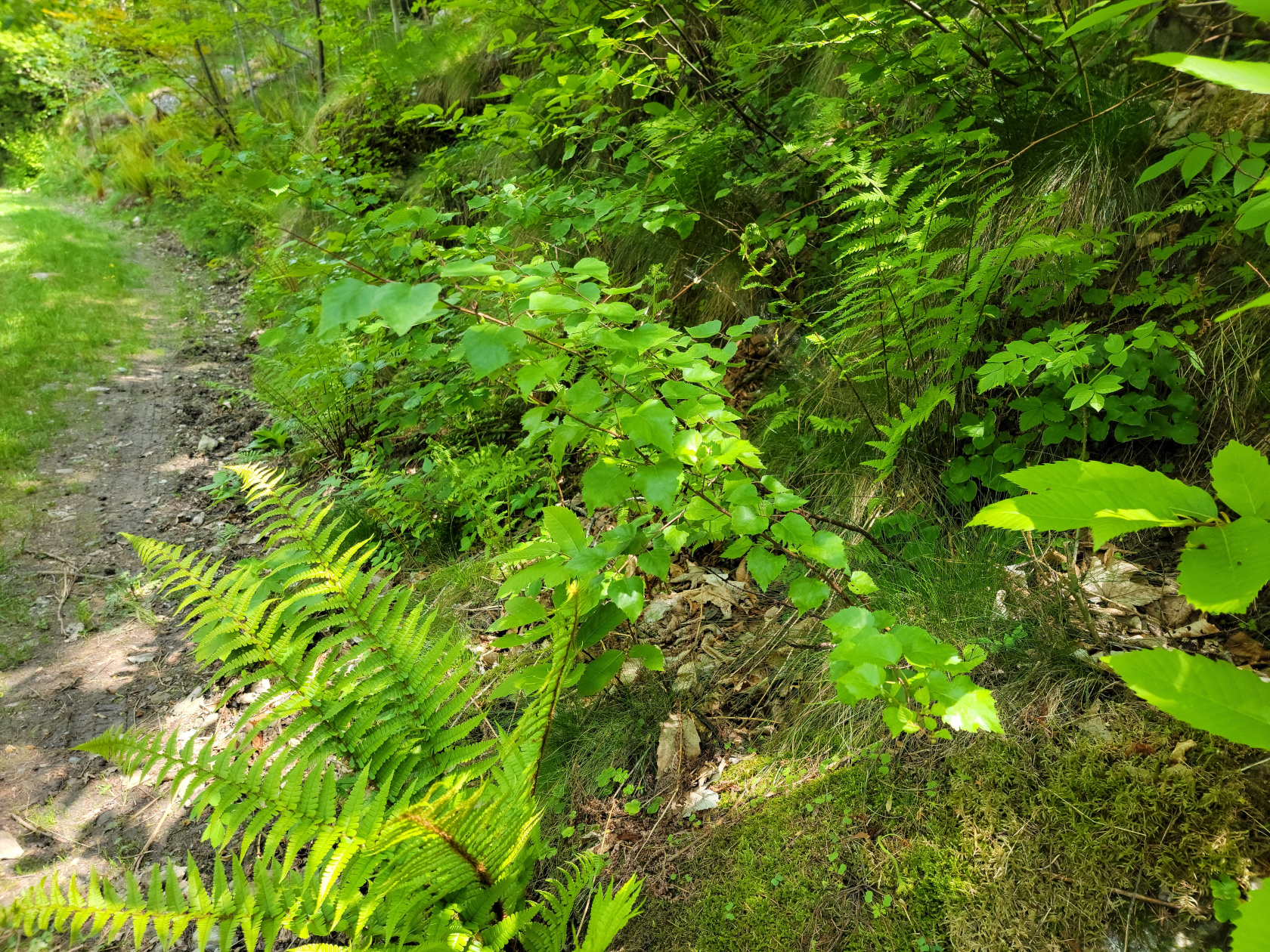
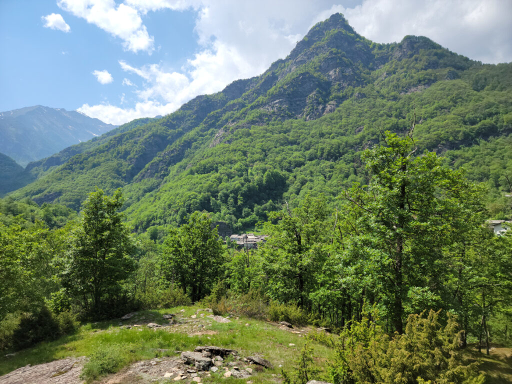
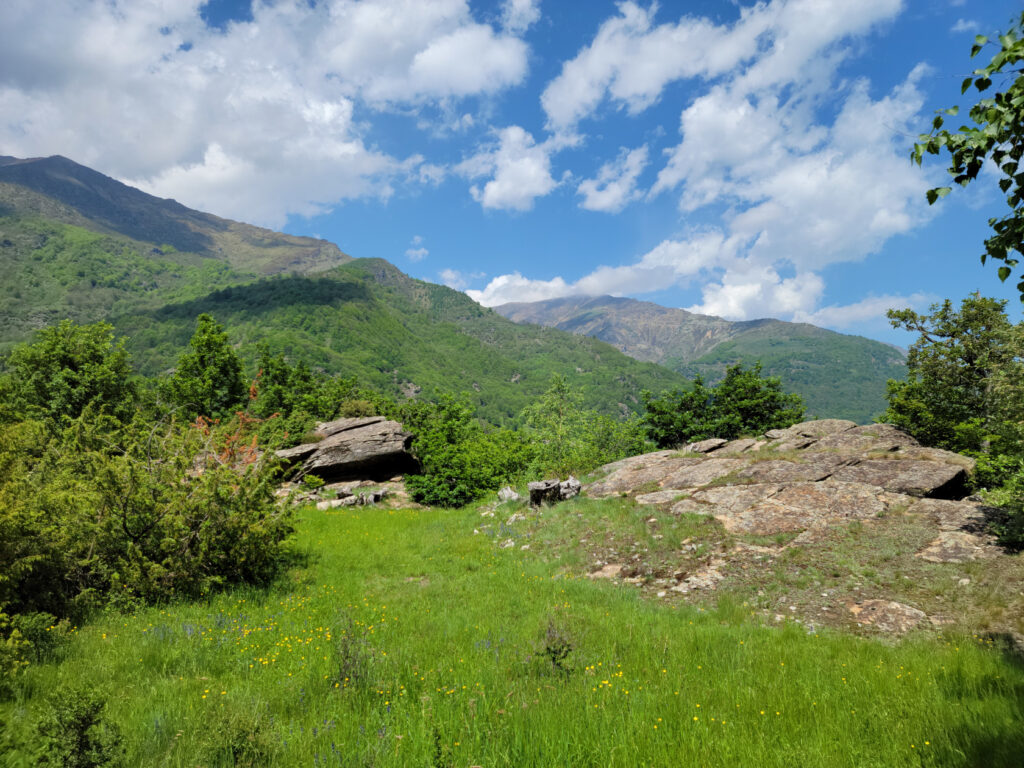
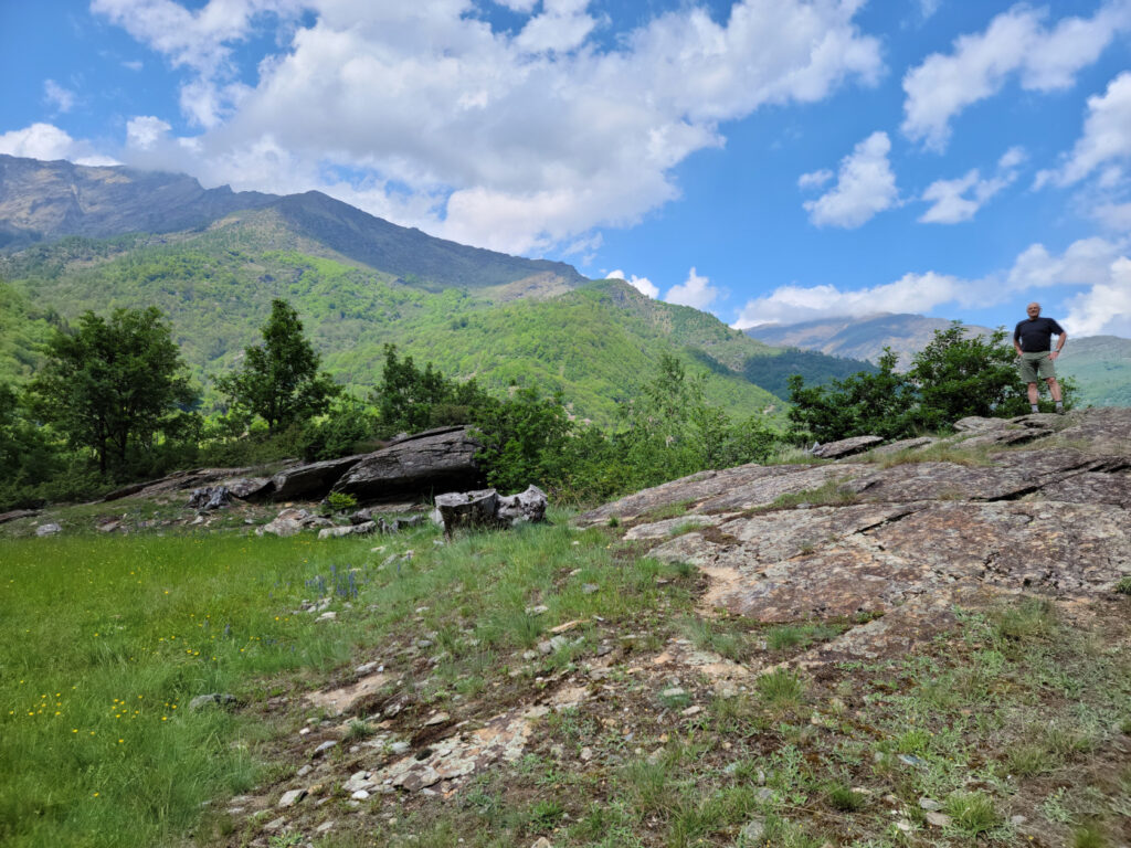
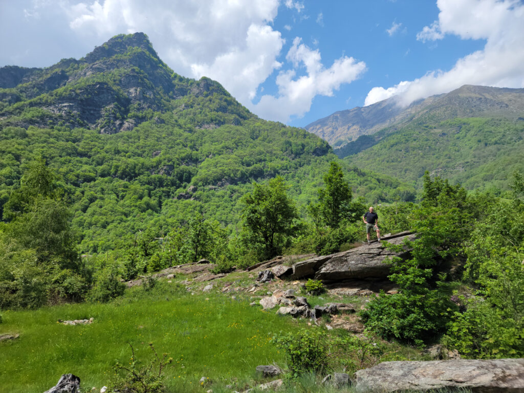
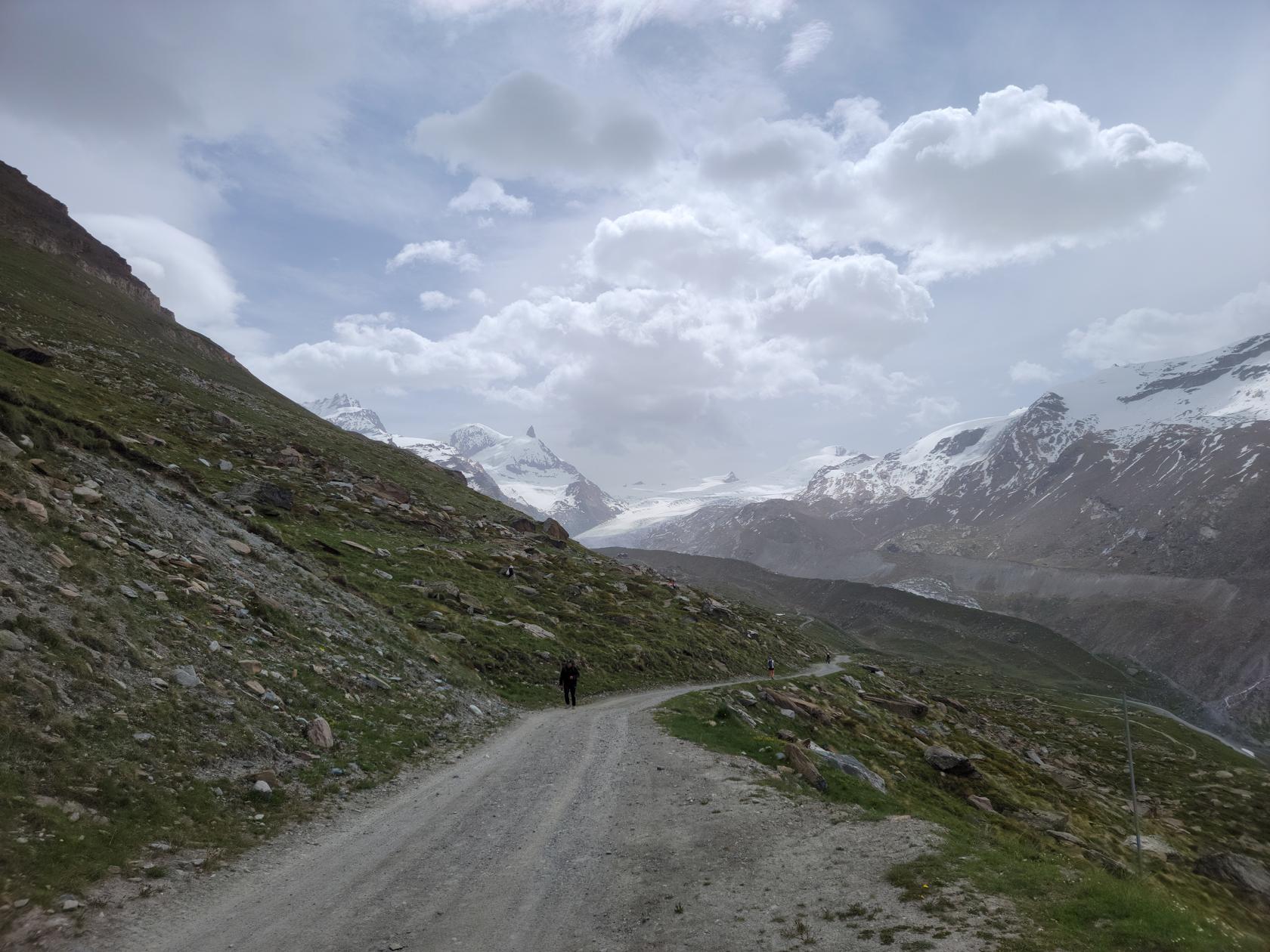
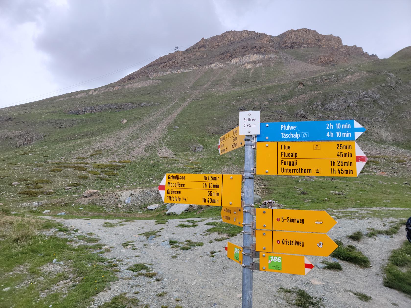
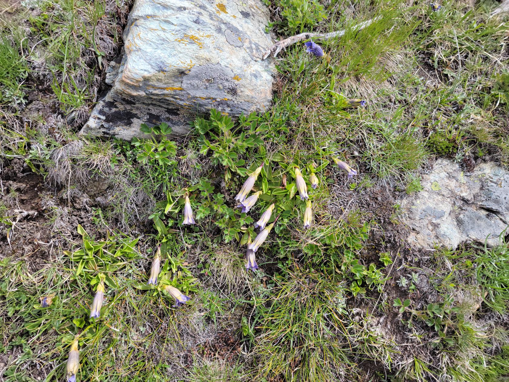
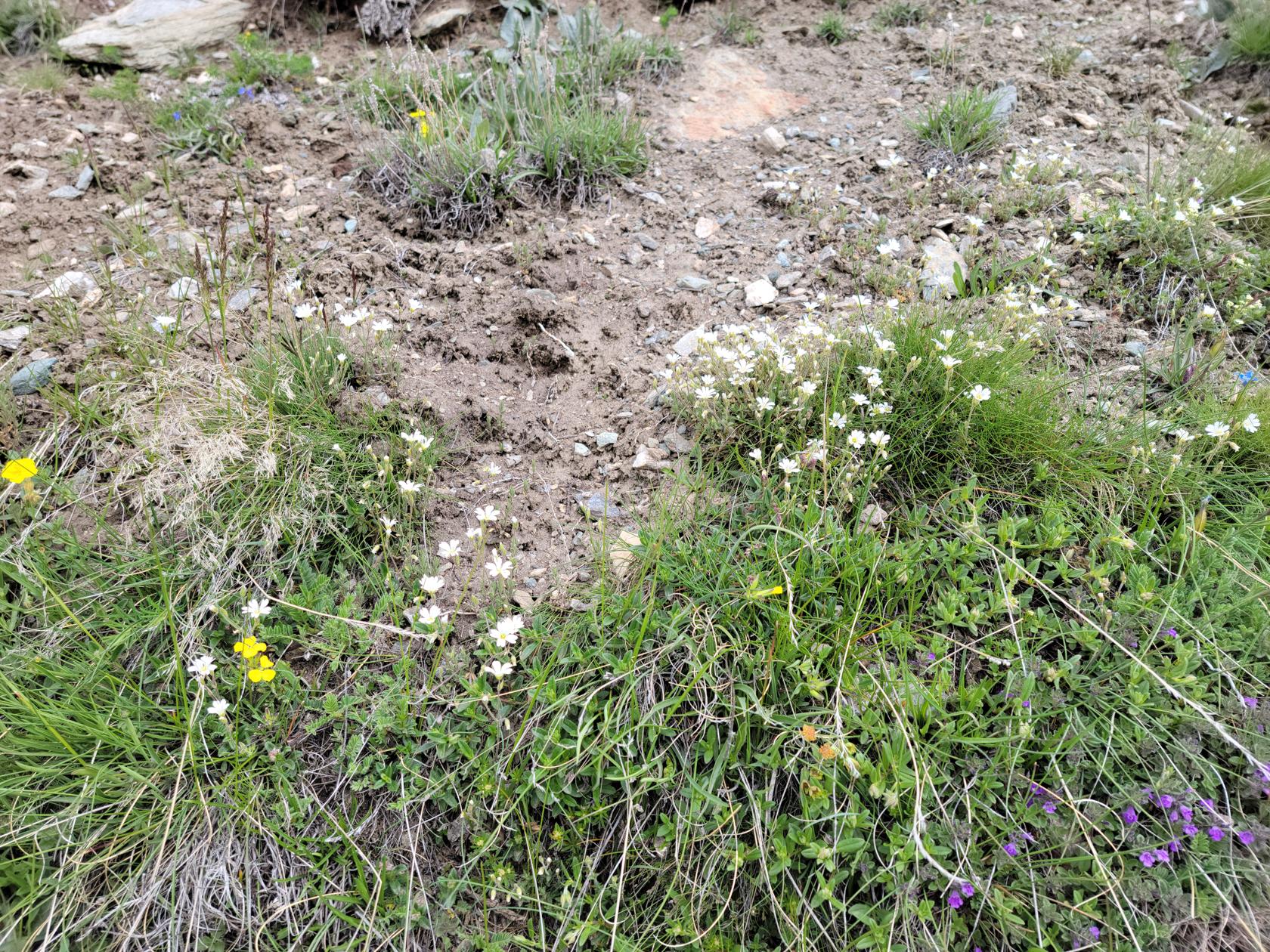
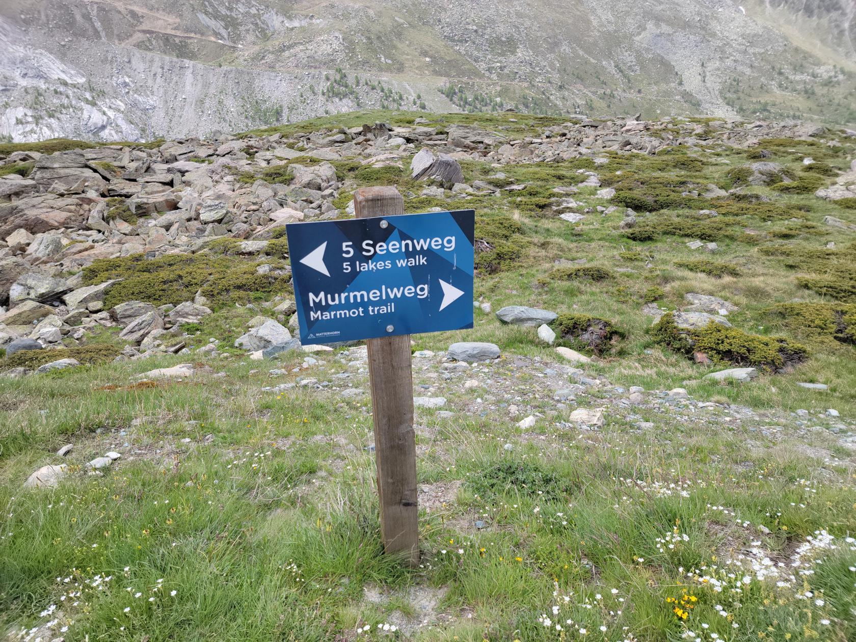
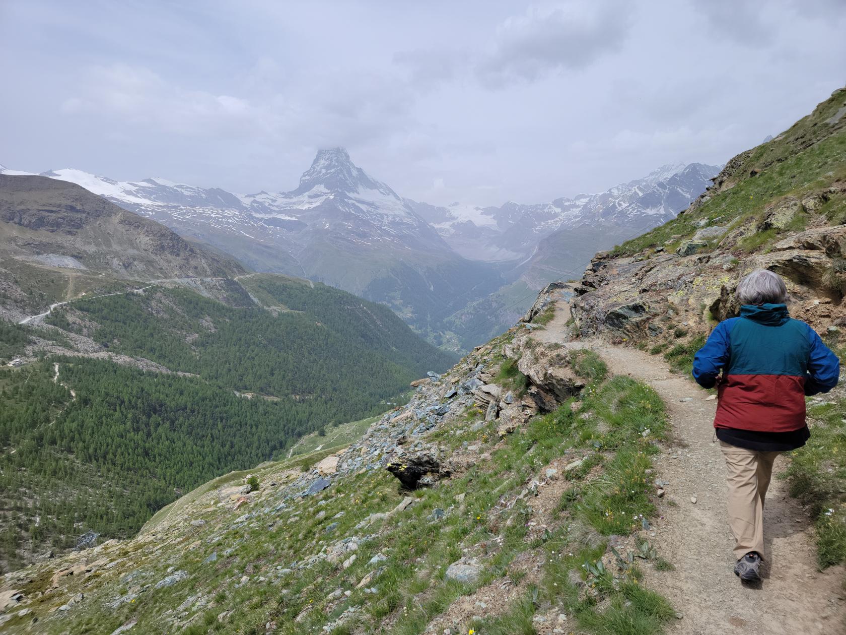
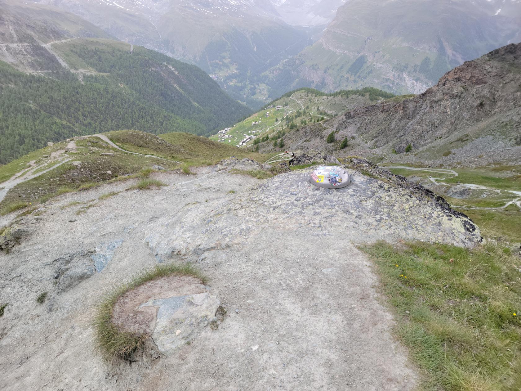
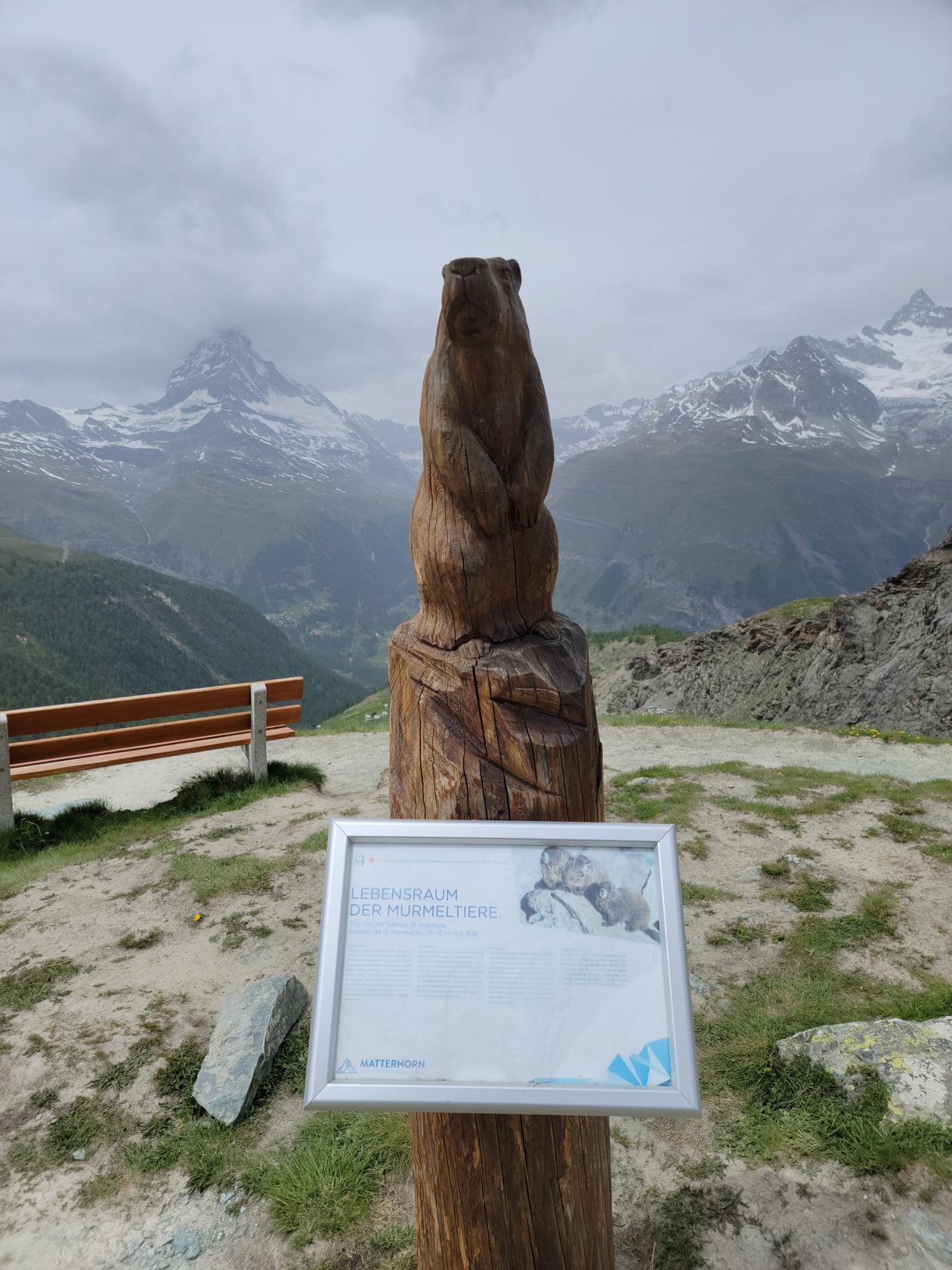
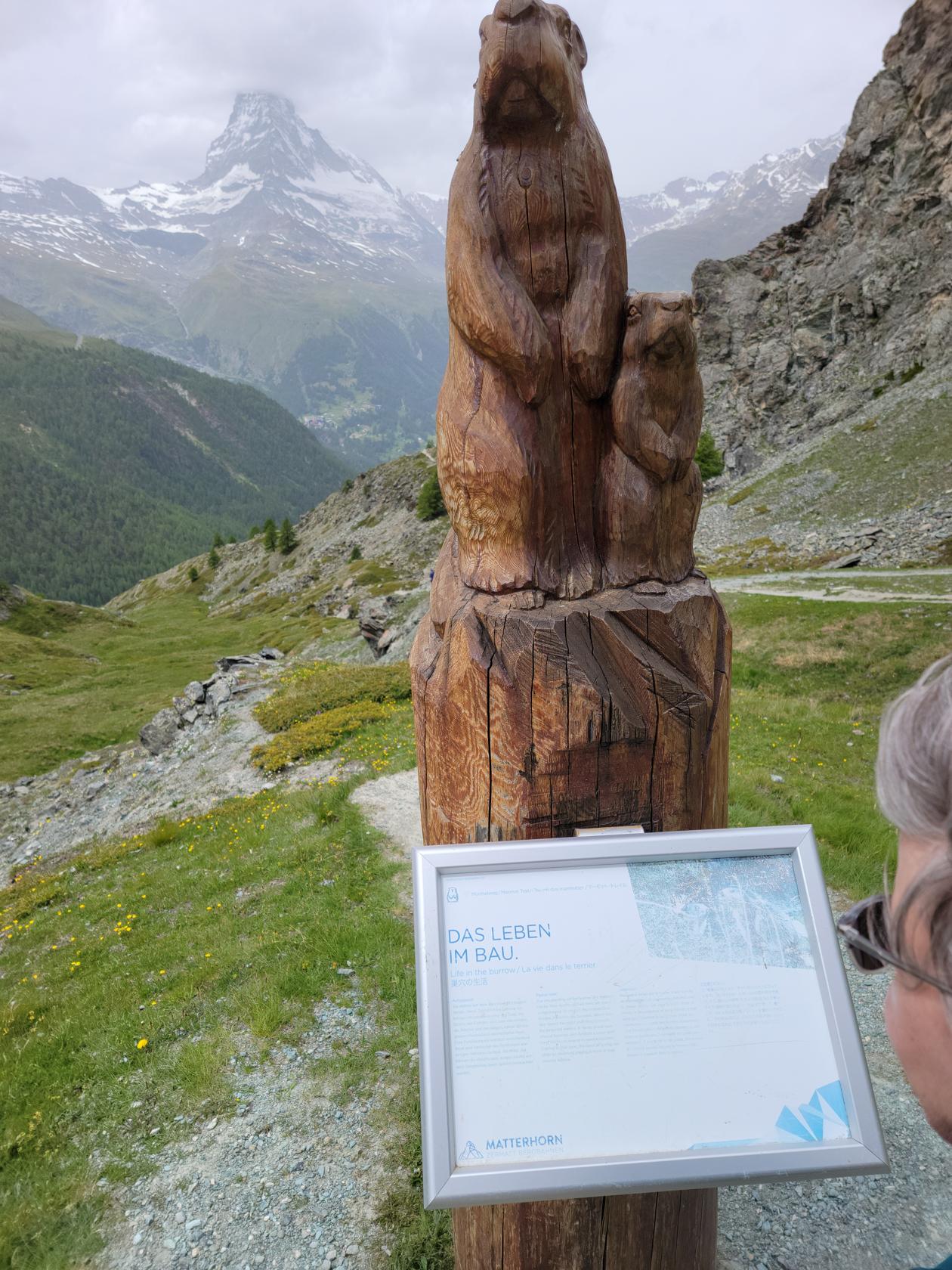
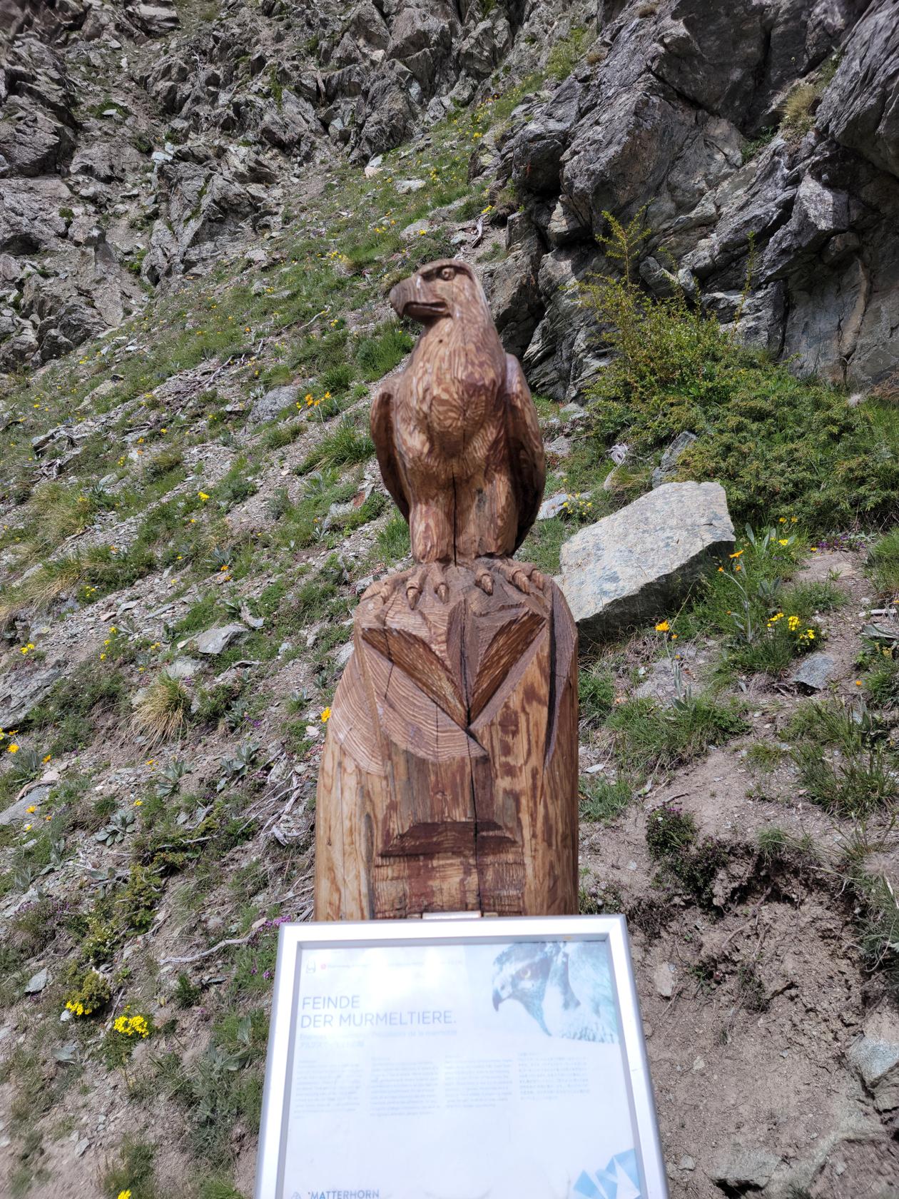
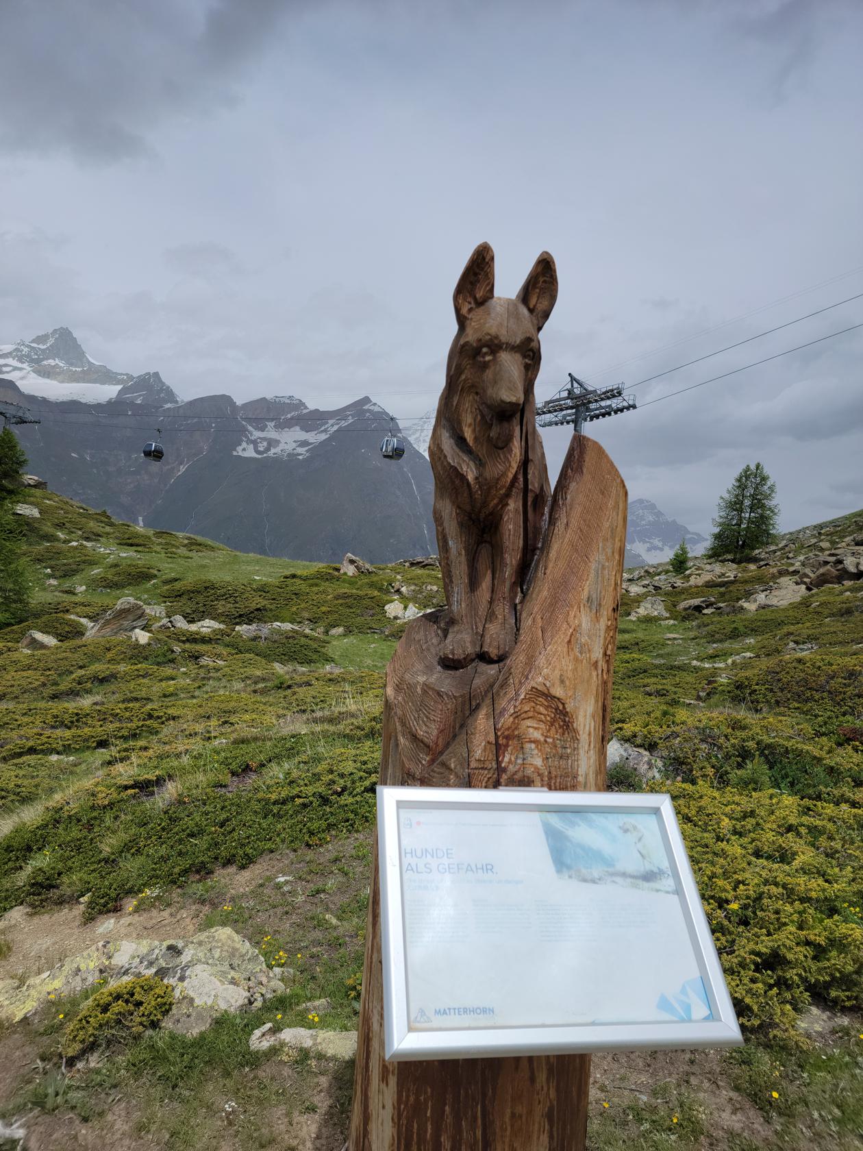
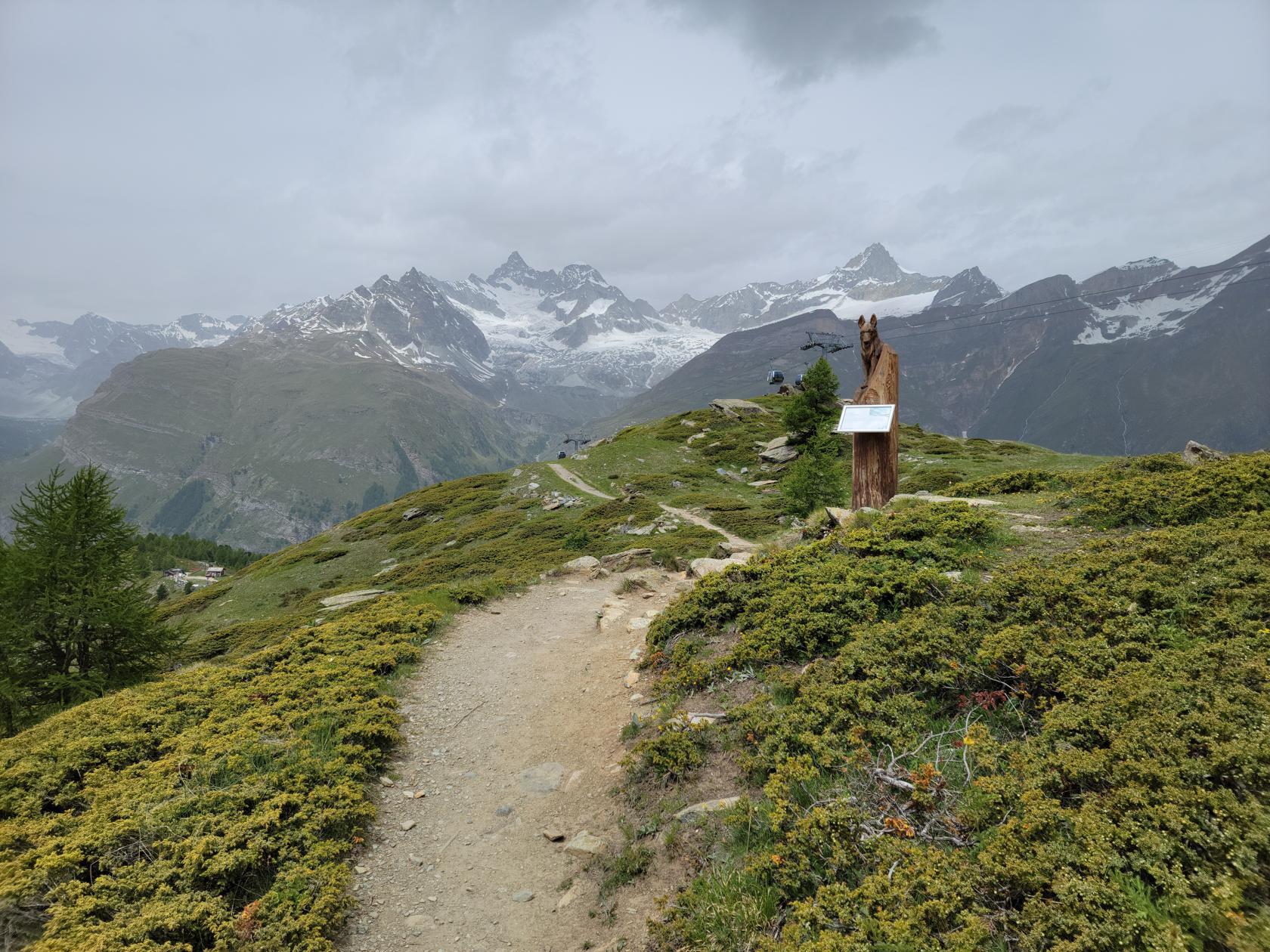
Murmelweg
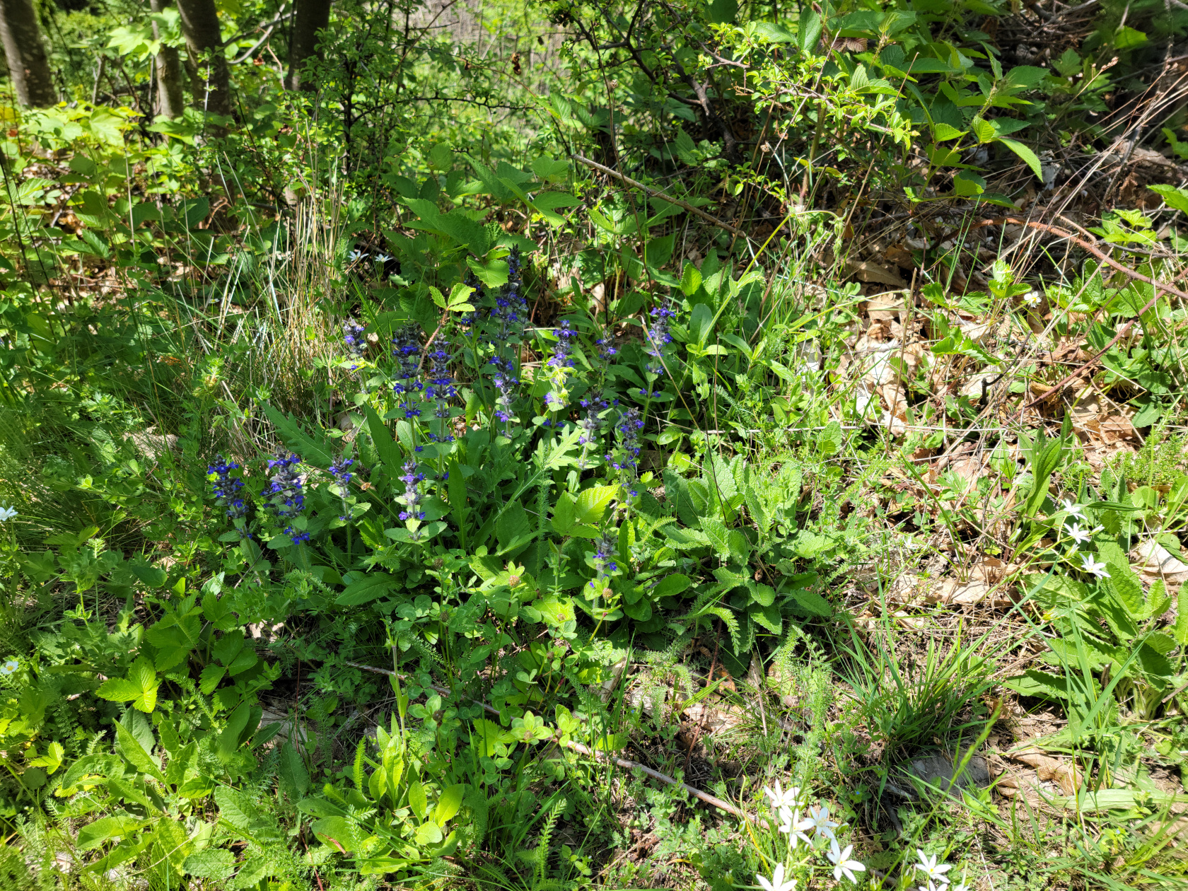
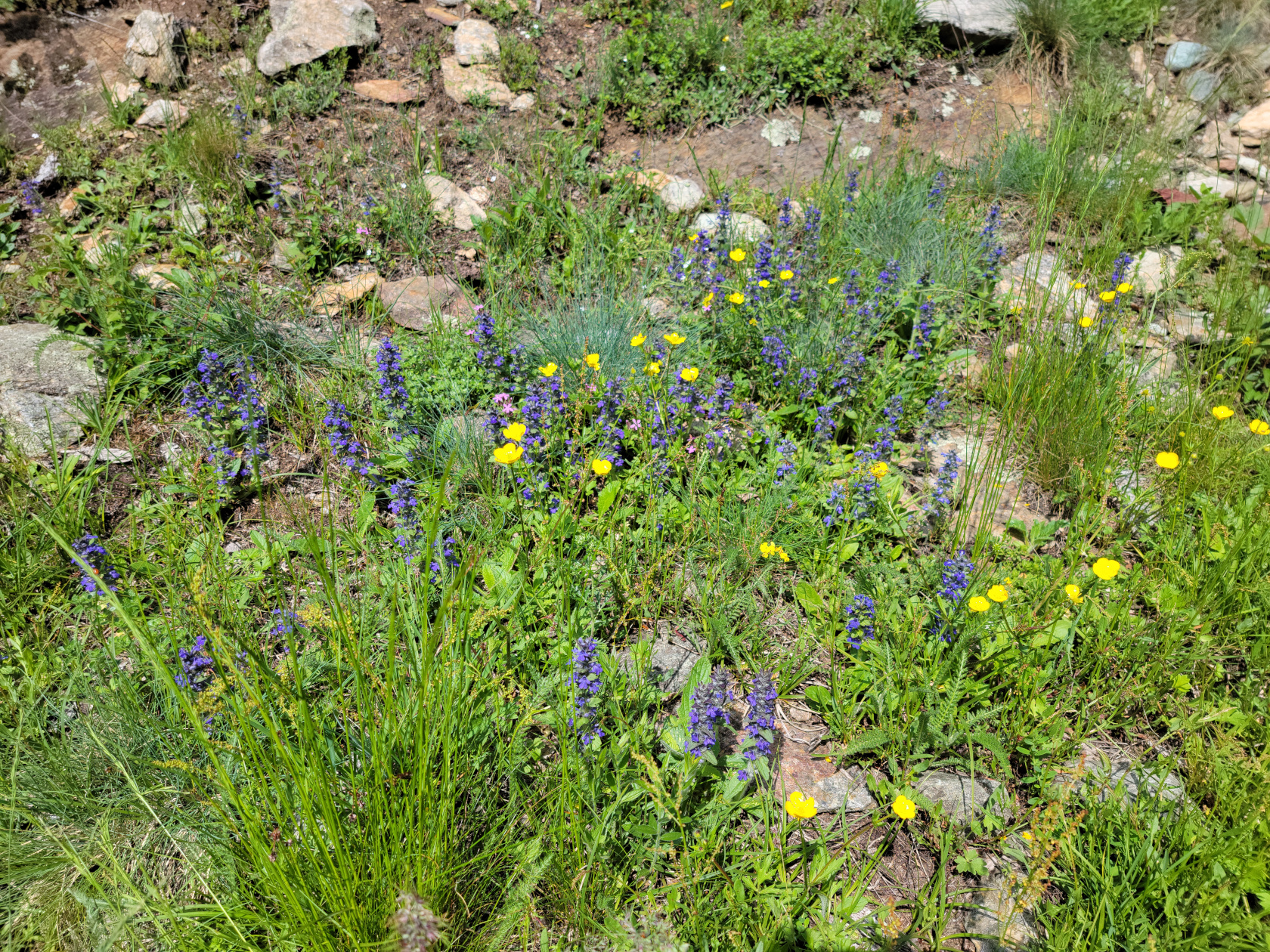
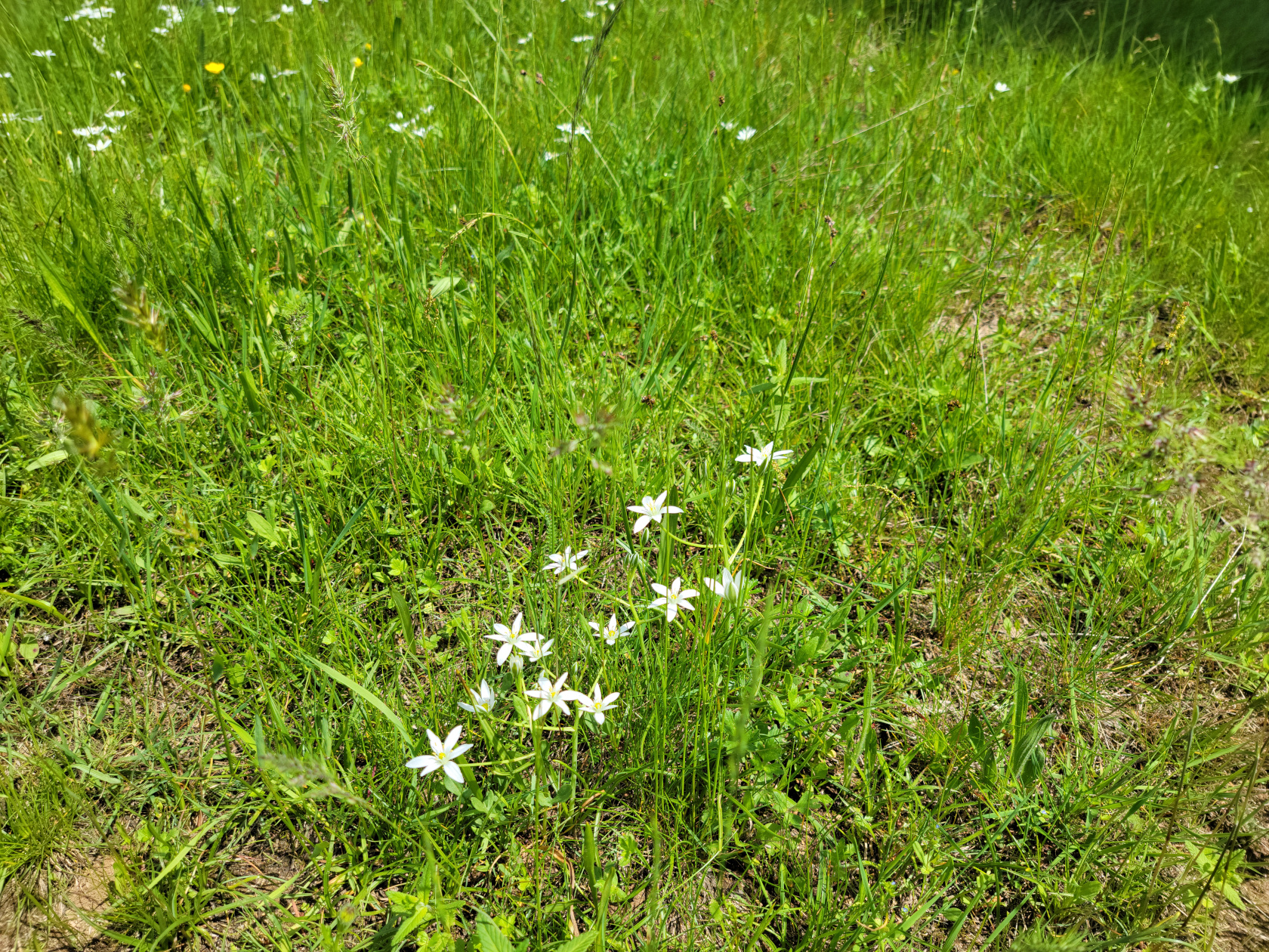
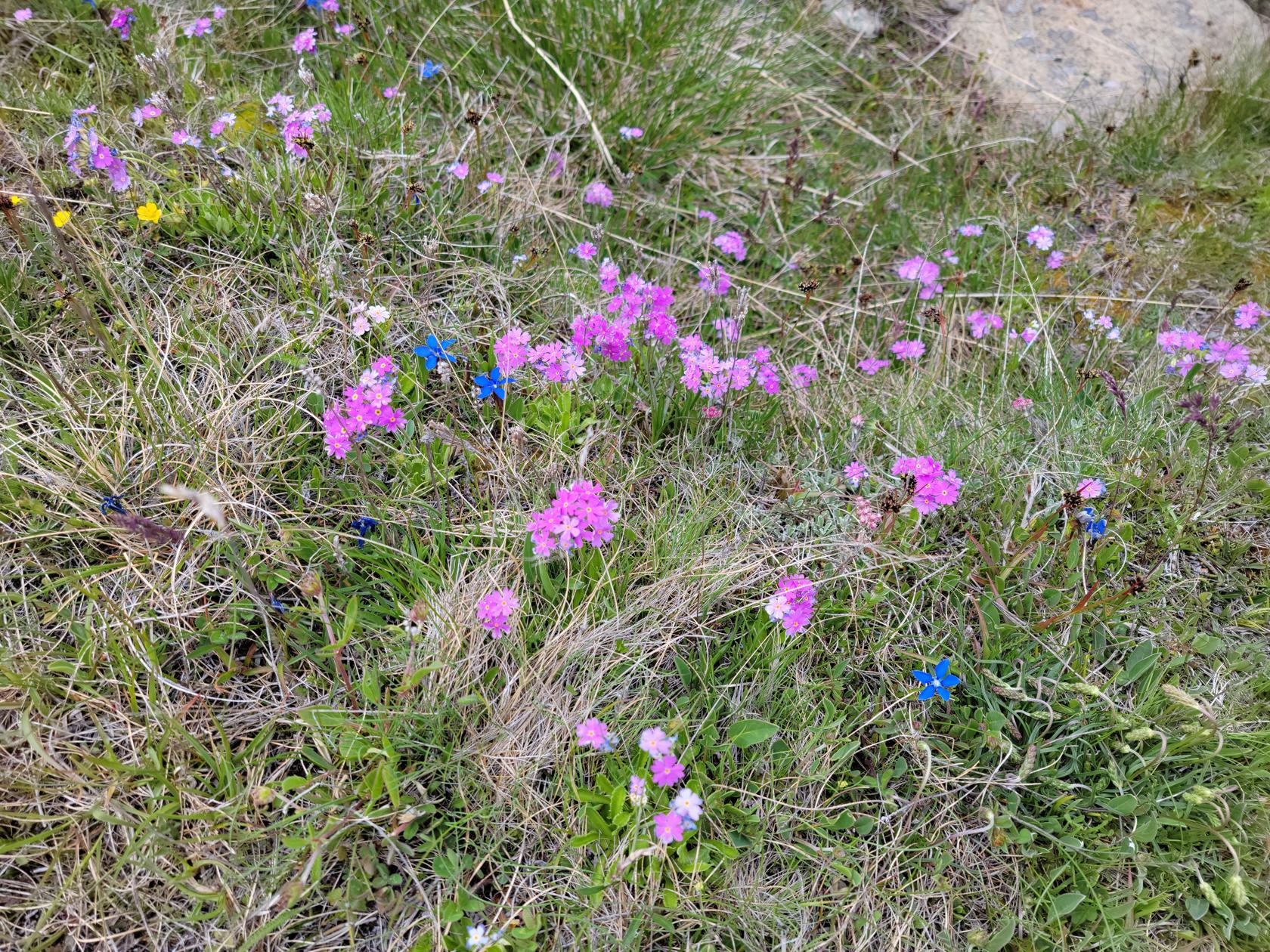
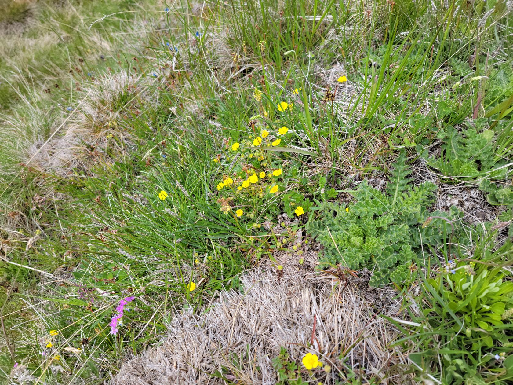
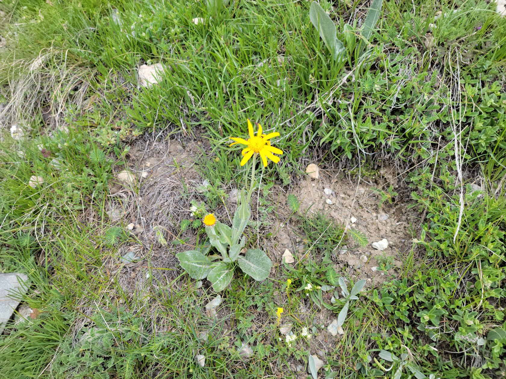
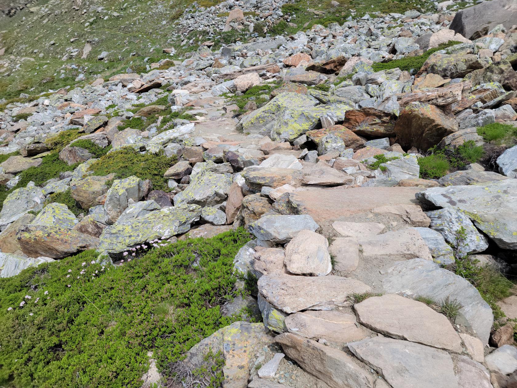
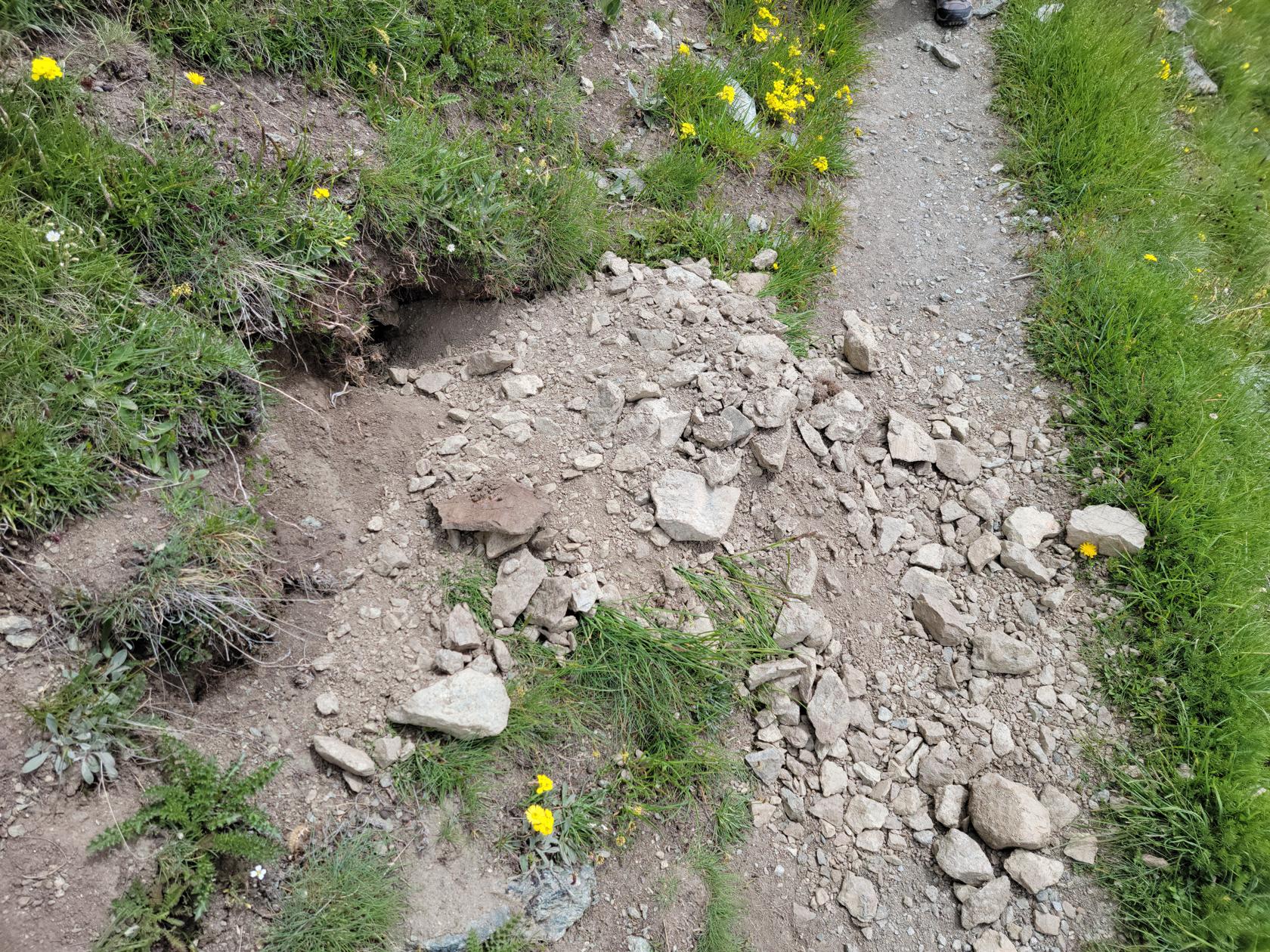
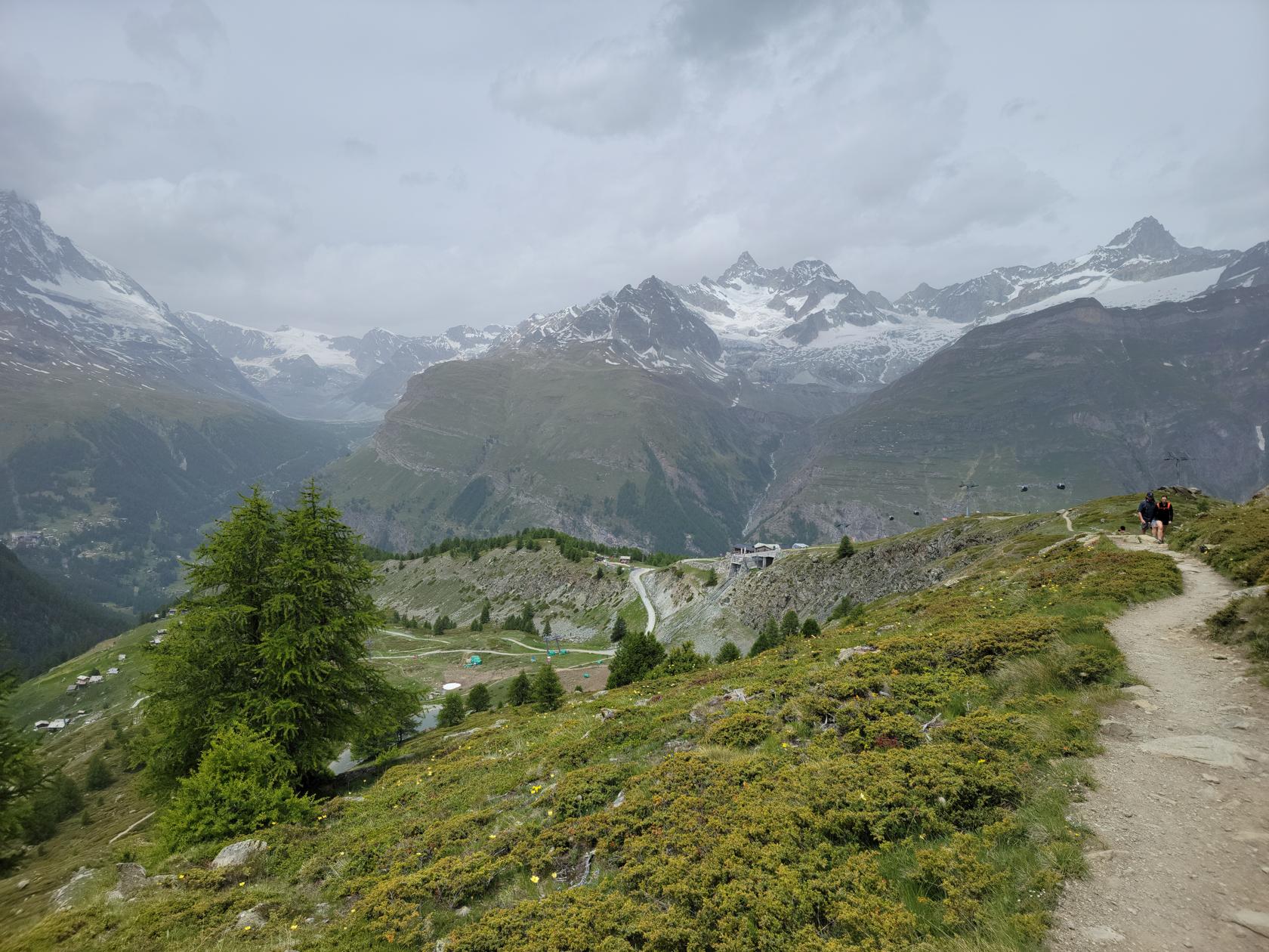
Named for the eponymous animal that has made the territory it goes through its home, the Murmelweg is a casual, if not easy hiking trail back to Sunnegga. There are a few technical areas, but nothing that most people will find impossible to pass. I would wear hiking boots though, the trail goes over rocky terrain and a good boot will help stabilize your ankles and aid your hike.
The below video is a fairly good example of what to expect.
We chose this route over the five lakes trail, which you can actually see as you hike this trail, only because we heard that route was rather boring after about the first two lakes. However, if you have the time and motivation, I would commend it, since it has more elevation changes and a bit more challenging than this trail.
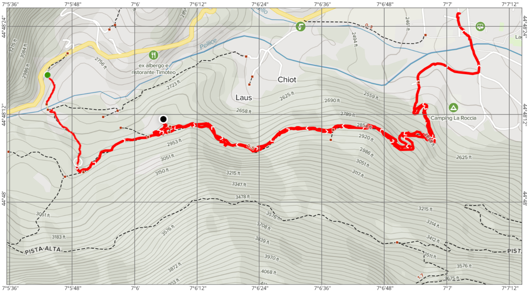
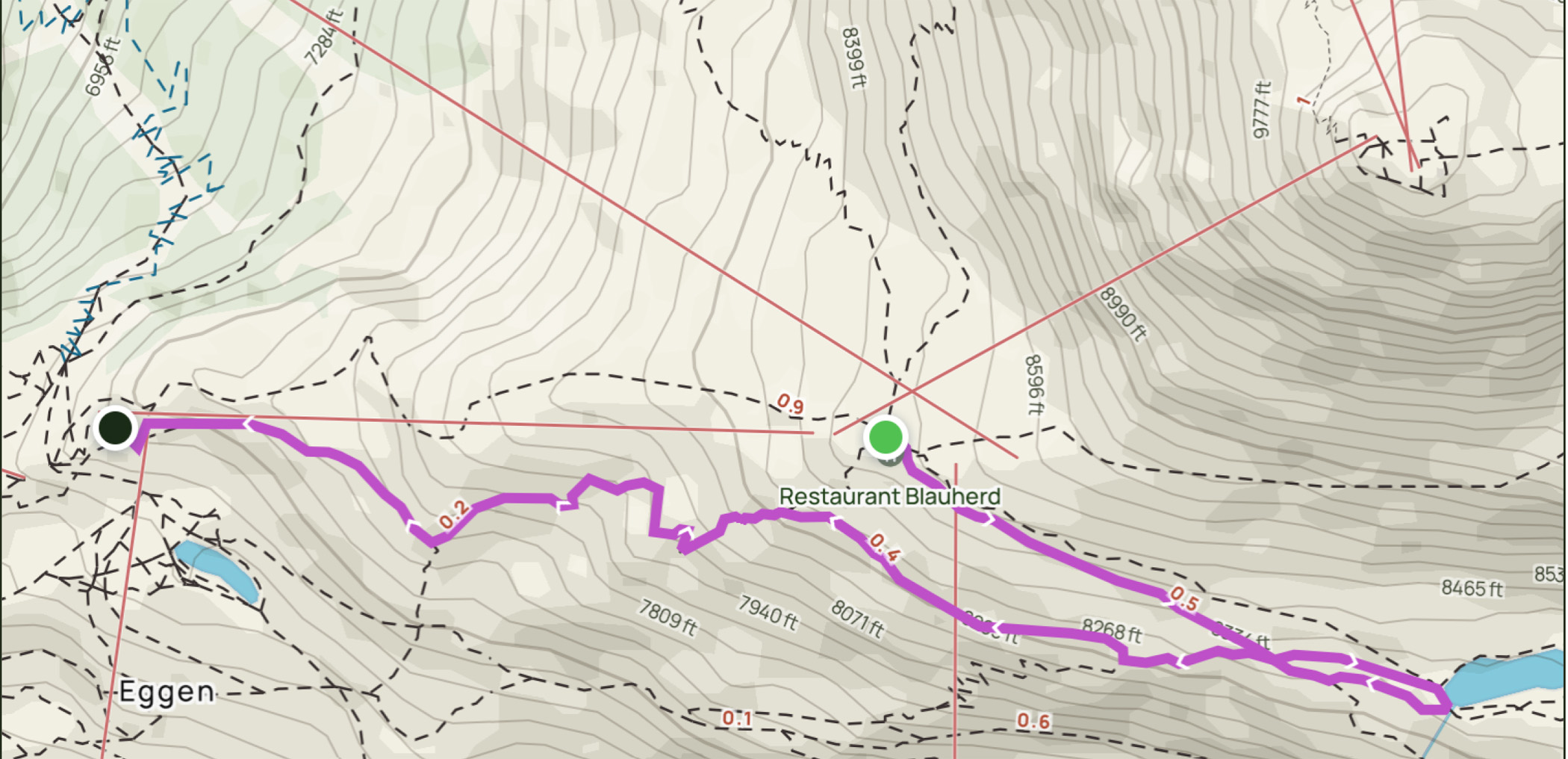
Our Route – Map
The following reference map details our trail route. The route was a bit over two miles with only a few hundred feet elevation decline and took us about an hour and a half to complete, stopping frequently for photographs.
Restaurants
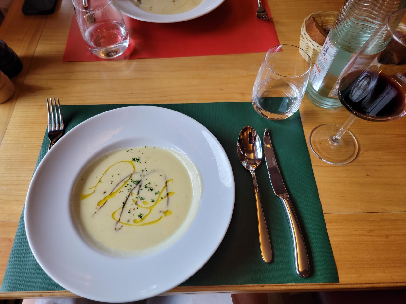
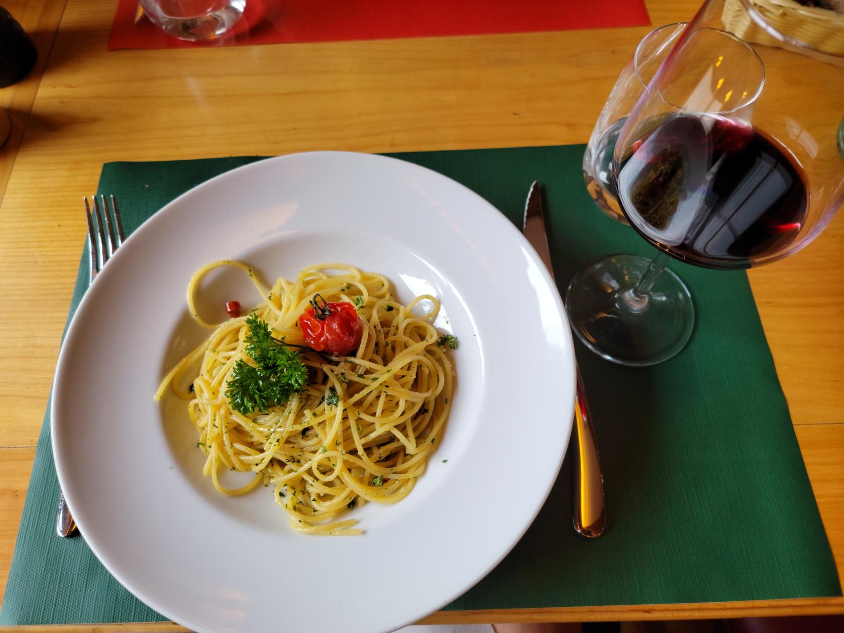
Osteria Bella Italia
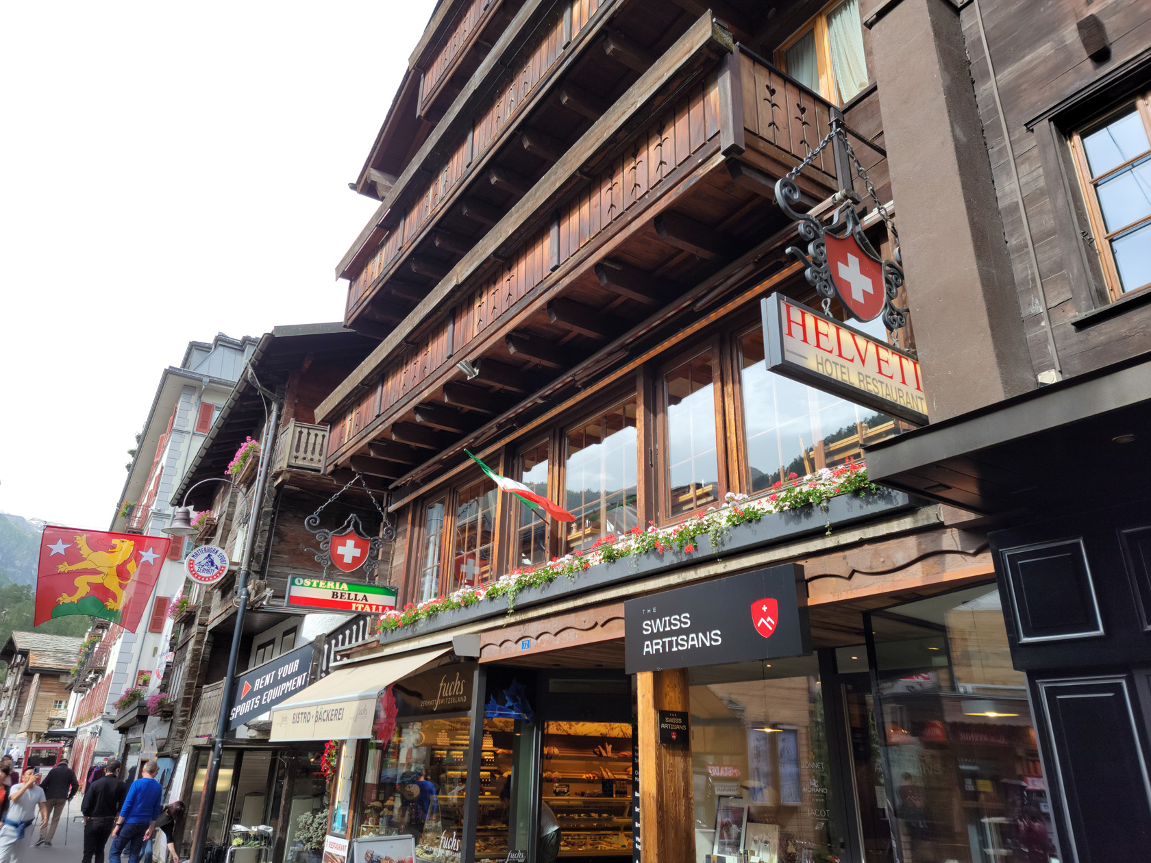
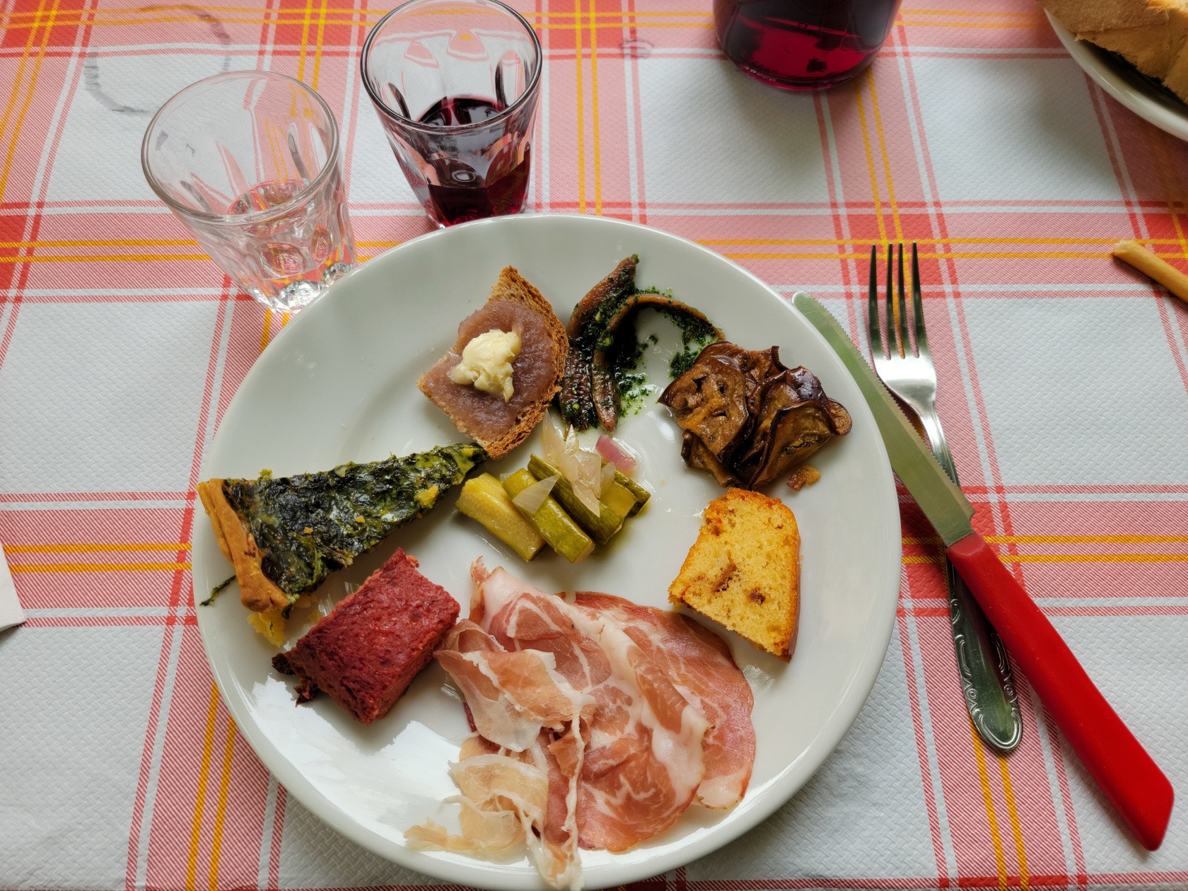
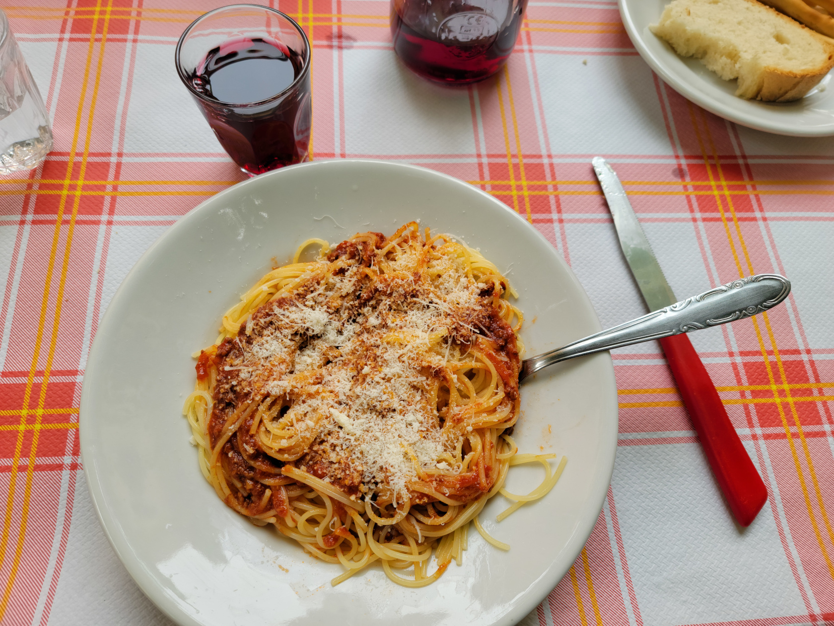
An Italian restaurant that is part of hotel on the Bahnhofstrasse, the Osteria Bella Italia is what my wife and I call and overpriced, corporate dining establishment serving food they want to be Italian. It’s not bad, but the preparation is what I would say a bit sub-optimal. Then there are the prices. I paid 22CHF for a small bowl of pasta with garlic and oil, totally unheard of in Italy.