Udine – A City On The Beaten Path
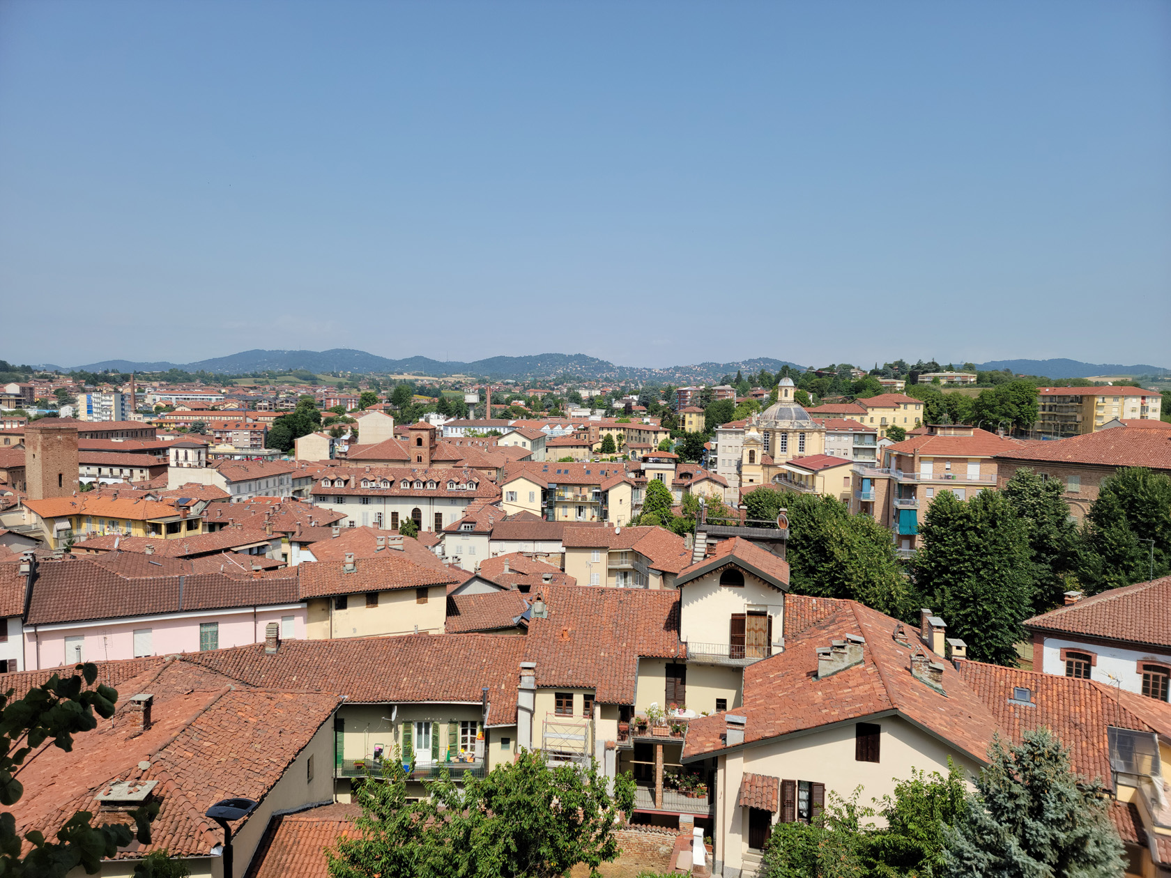
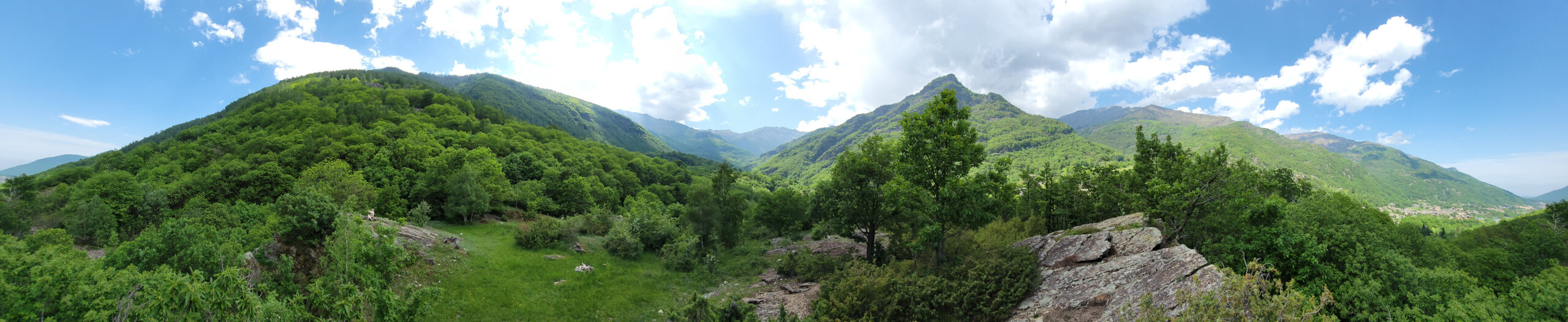
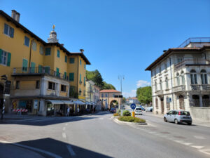
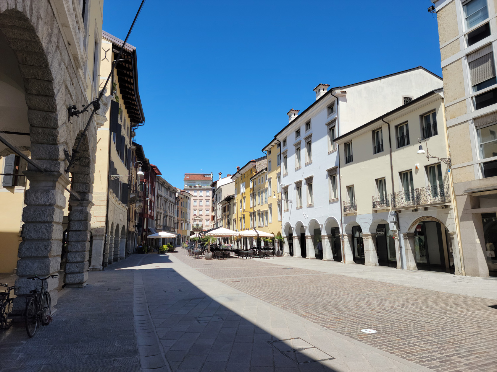
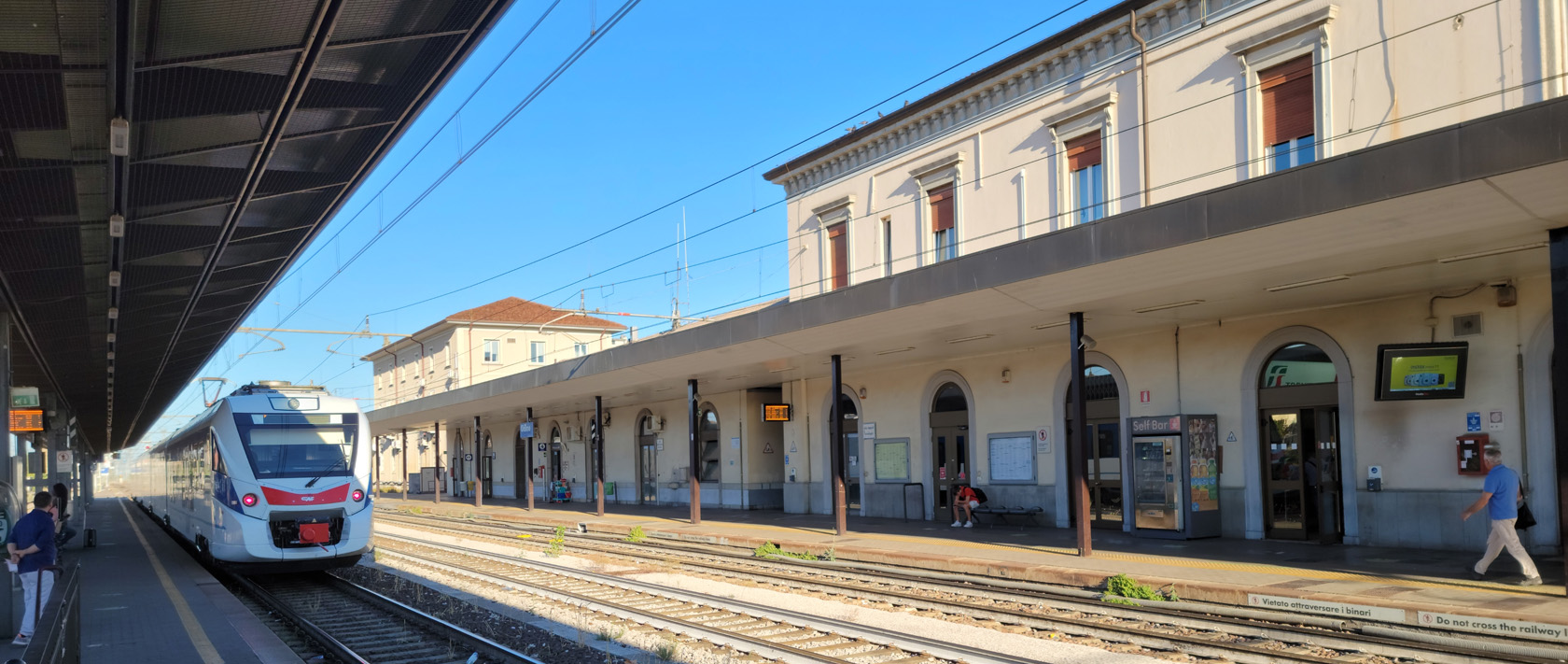
Somewhere in the northeast of Italy, north and east of even Venice, is the small city of Udine. The largest city before you enter Slovenia to the east and Austria to the north. From here you can see the Austrian and Julian Alps.
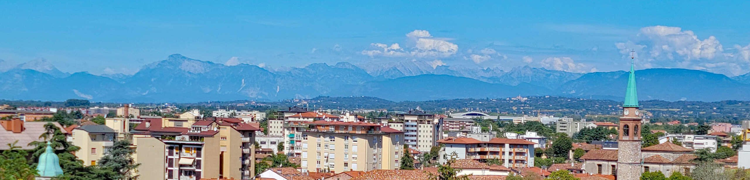
From Ljubljana we took an Austrian train to Villach and then over to Udine. Along the way were able to enjoy sights of the Julian Alps out our window and just relax.
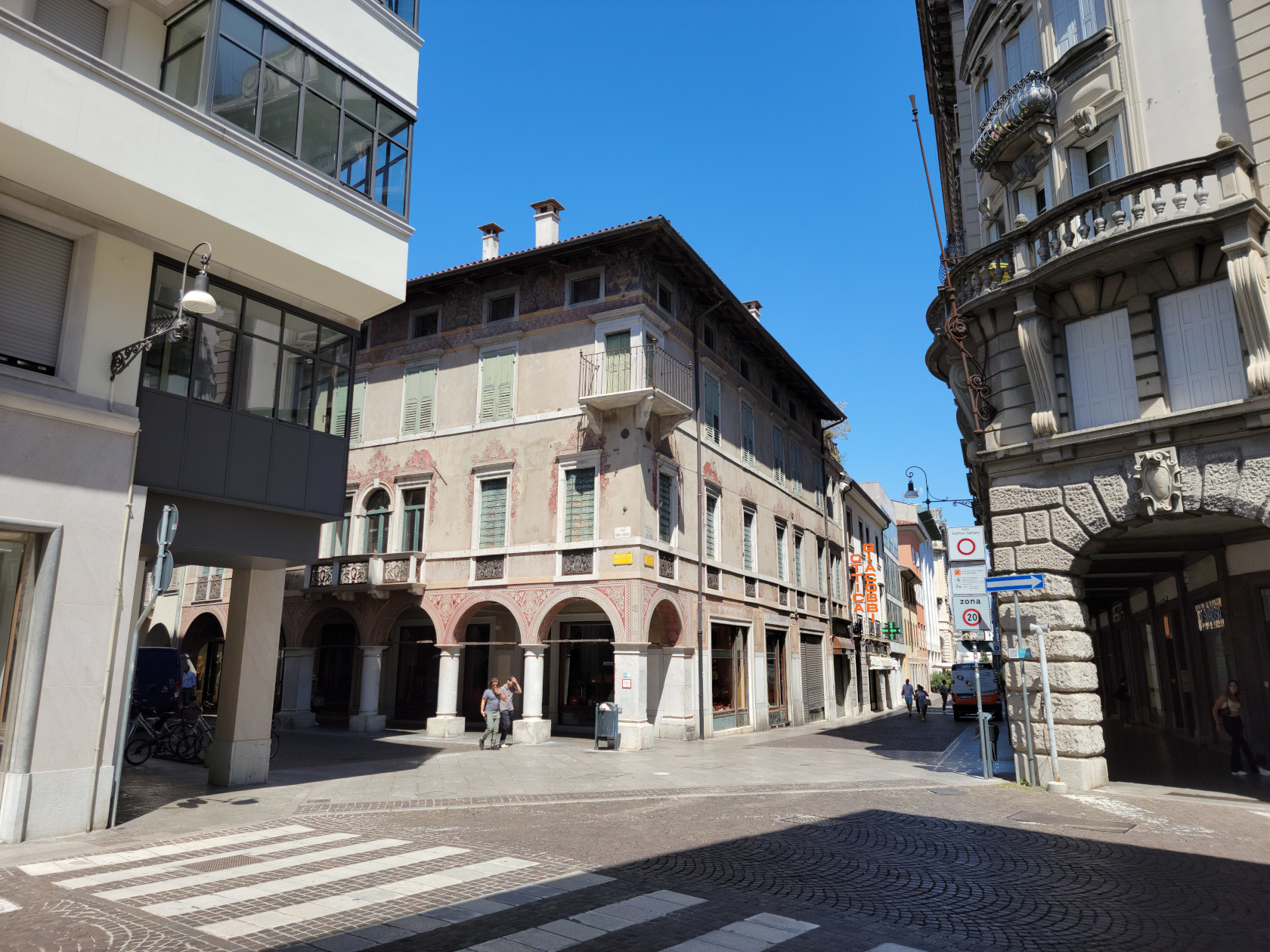
Probably one of the most underrated and unlikely places we have been this year is Udine. Unlikely, because it is usually not on anyone’s radar, though we met numerous French and German tourists enjoying it. Underrated, because we think it has some things to offer, that others might not find in the exact same way elsewhere.

The people in Udine are very urbane and really enjoy tourist in their small city. They make an extra effort to speak and understand English, where you may not find such proclivities in other Italian cities and towns.

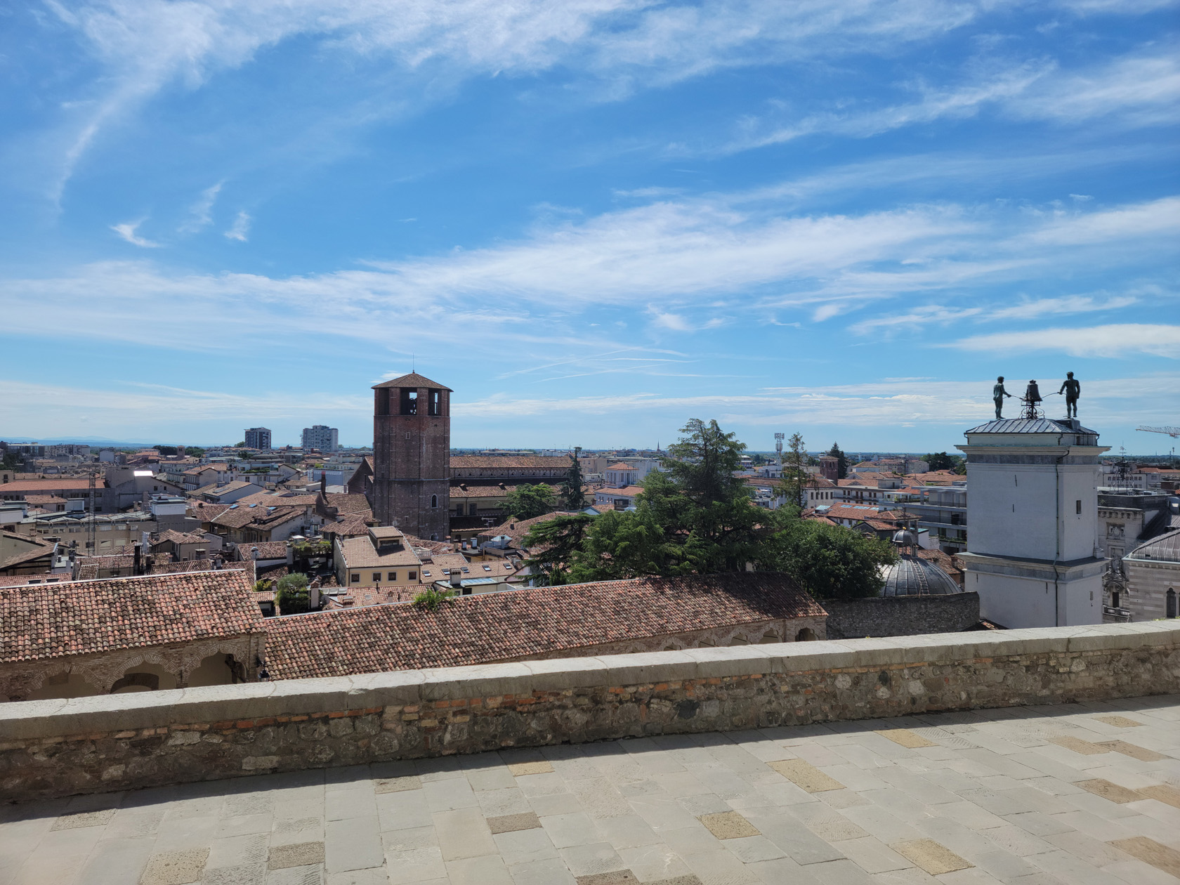
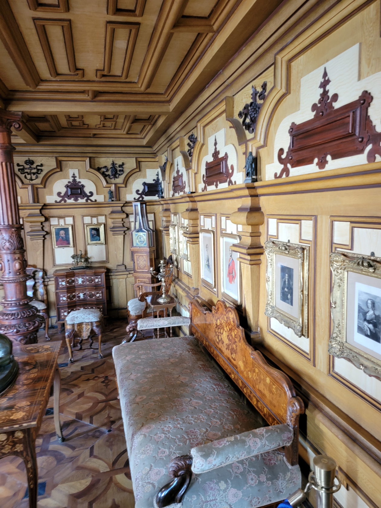
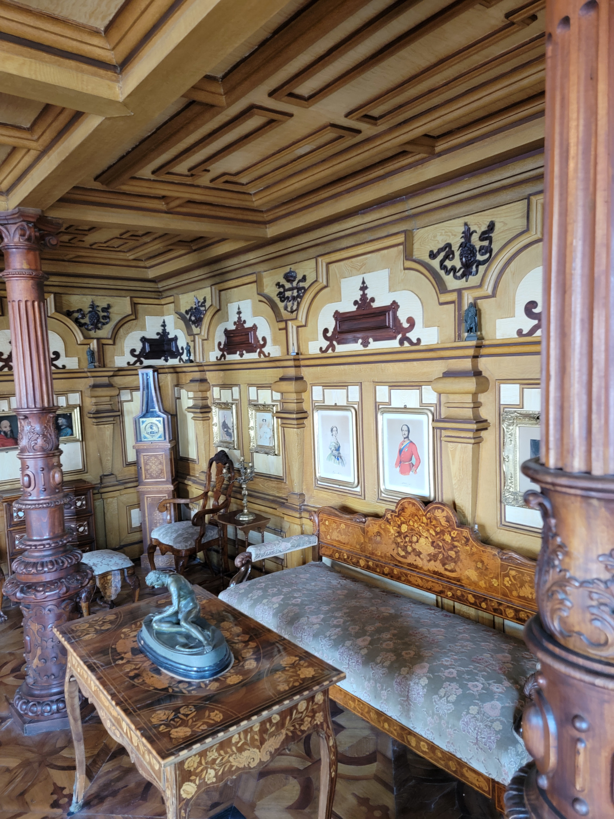
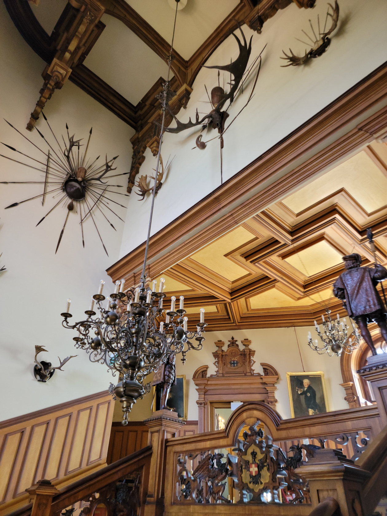
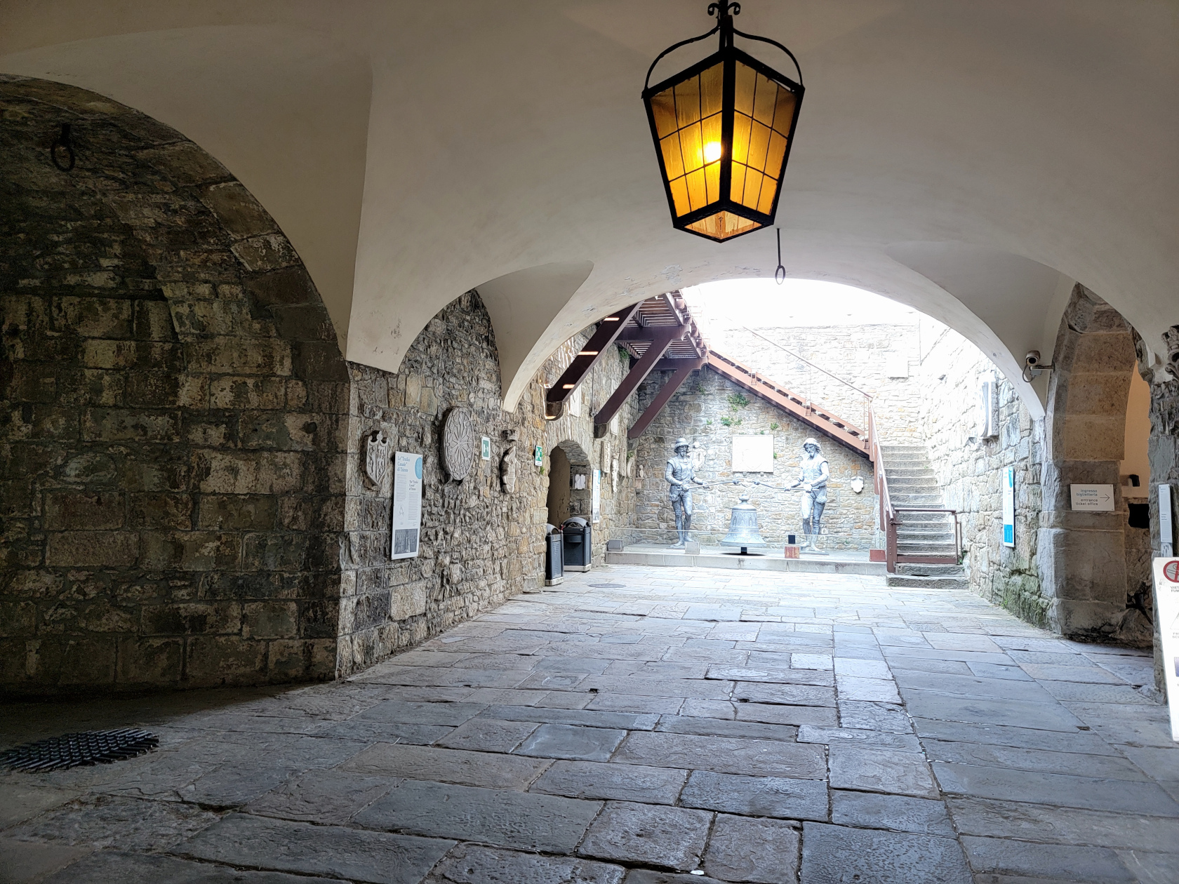
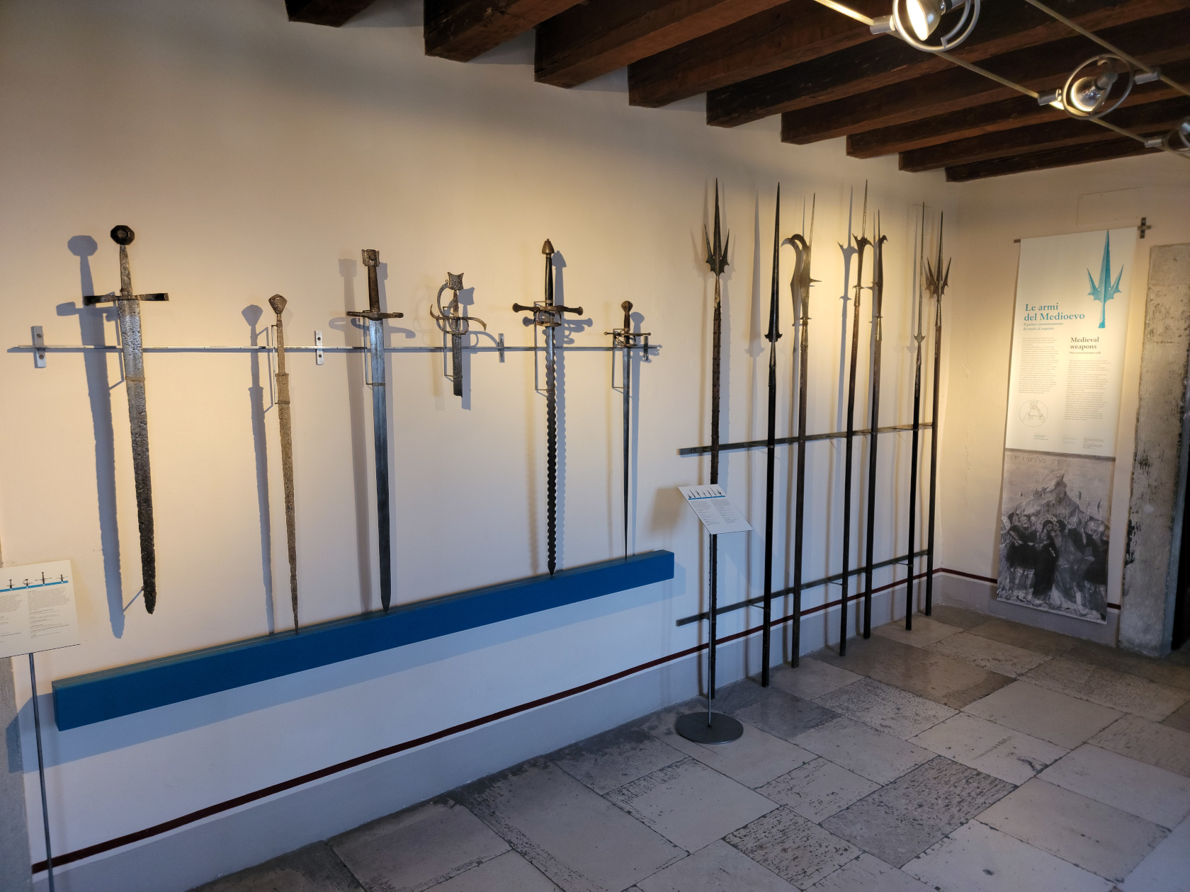
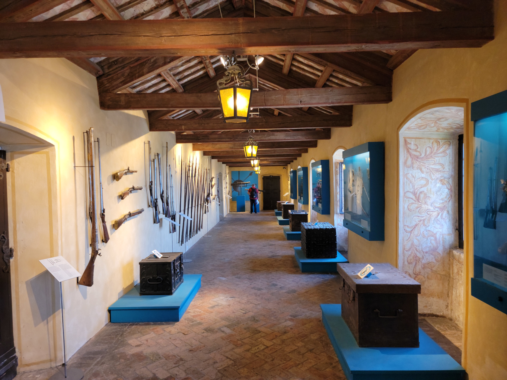
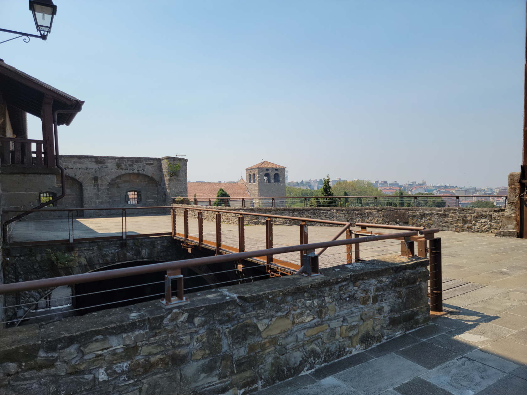
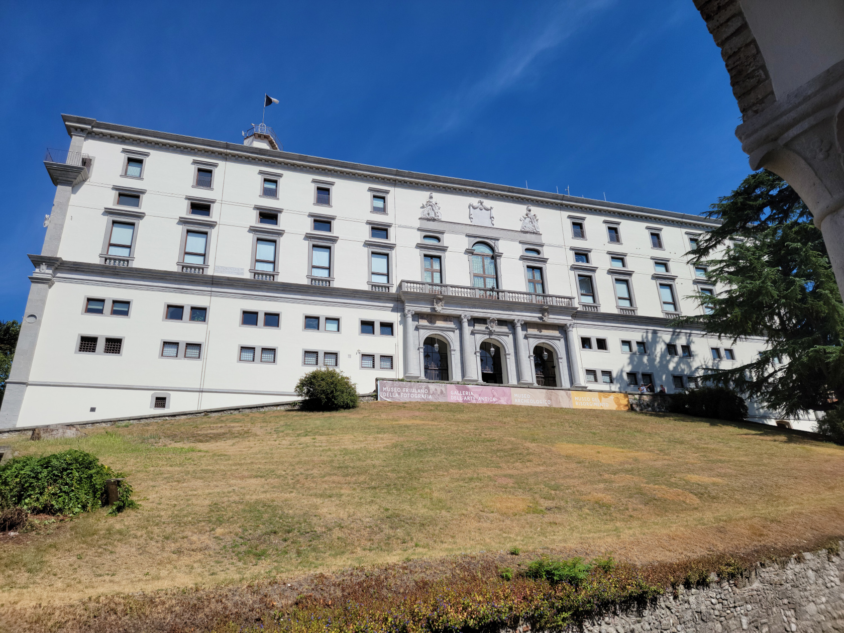
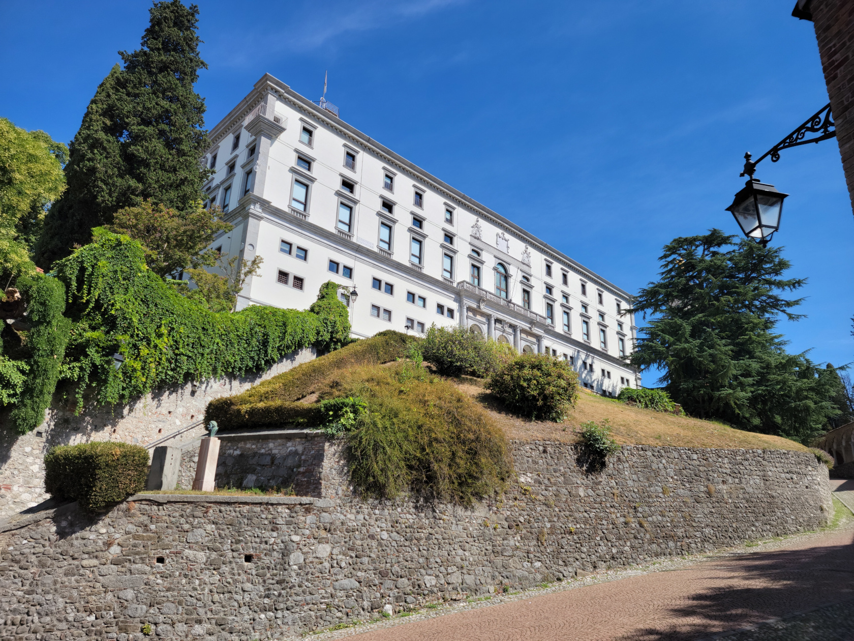
Udine Castle
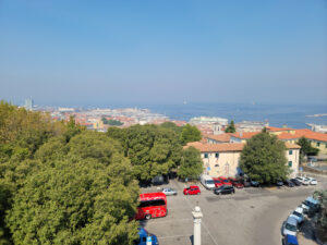
Destroyed in the sixteenth century by a violent earthquake, the Udine Castle was rebuilt soon afterwards and stands today housing several museums. It actually sits atop an artificial hill, by all accounts ancient and predating Rome in nature, and is the highest and largest artificial hill in Europe.
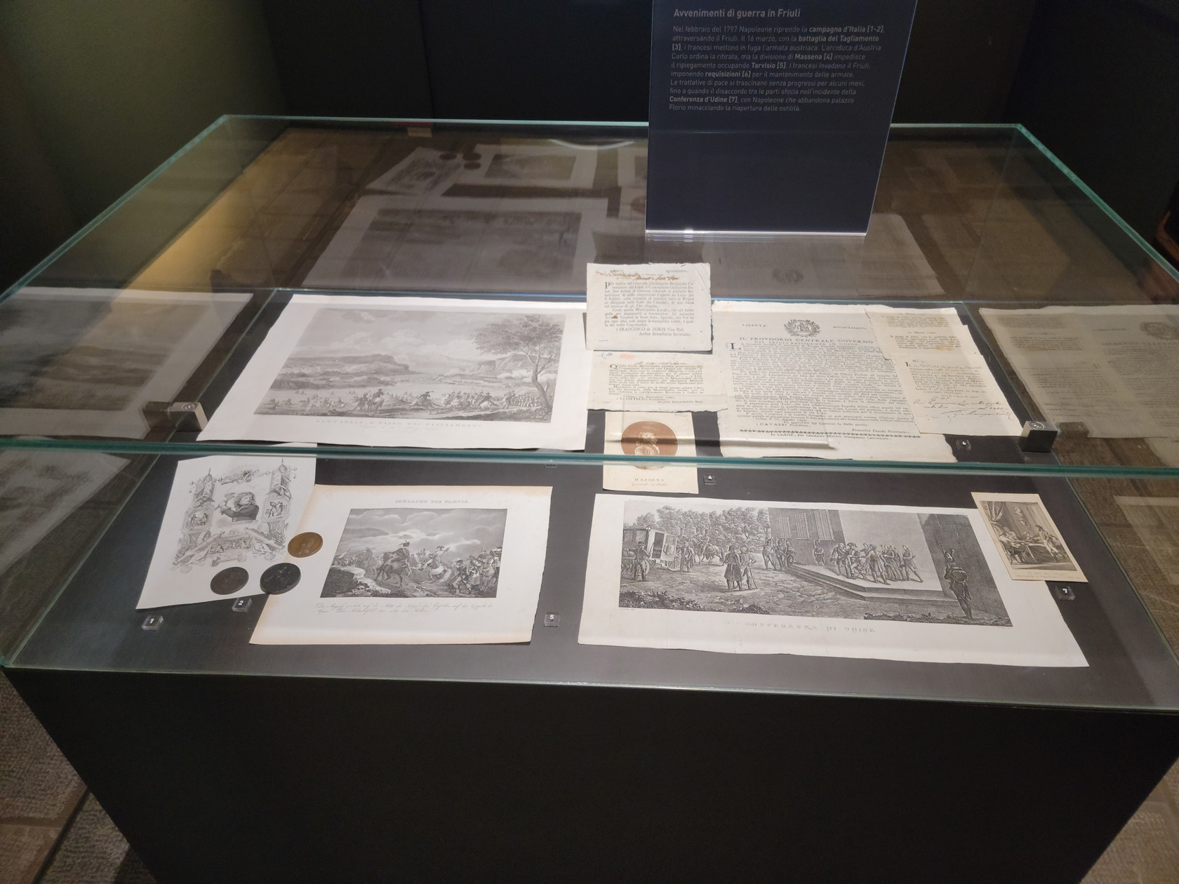
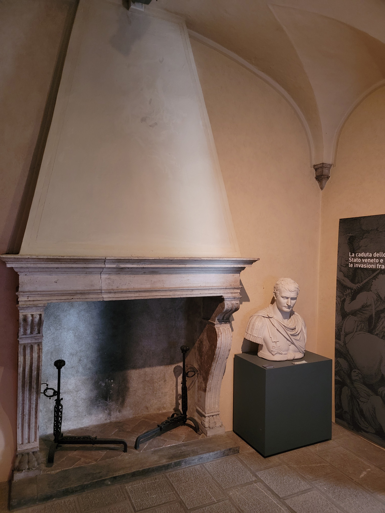
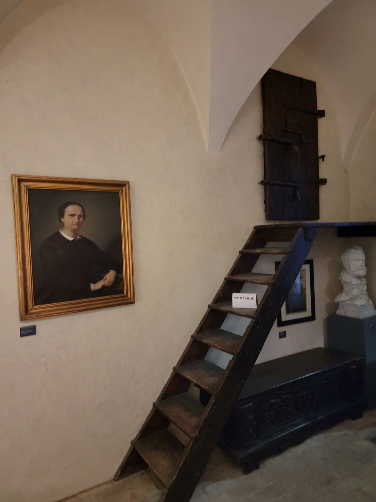
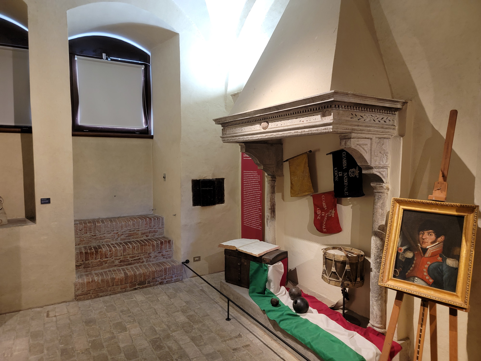
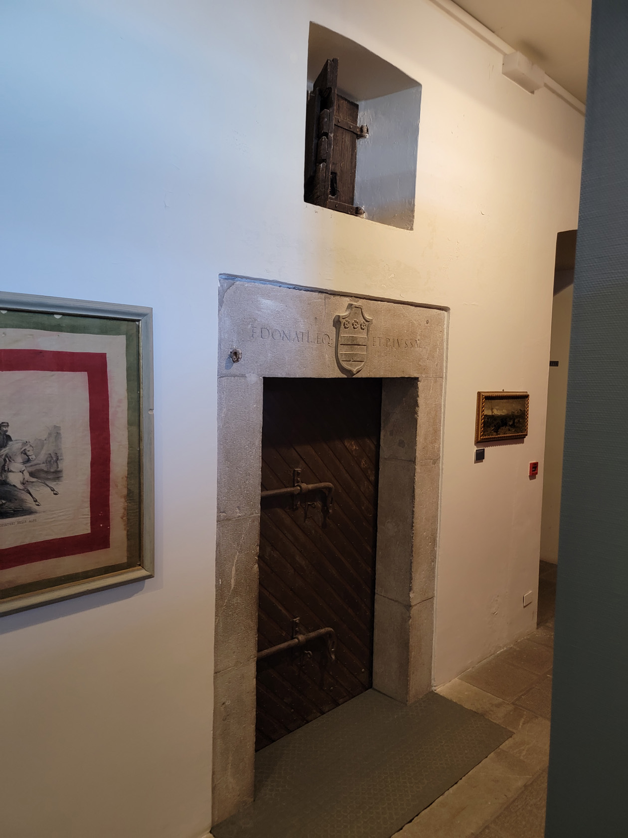
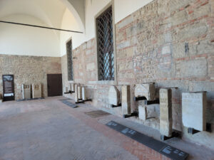
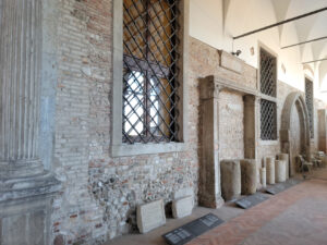
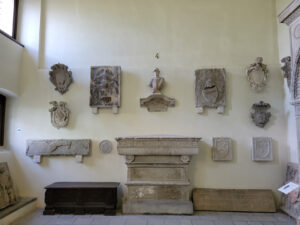
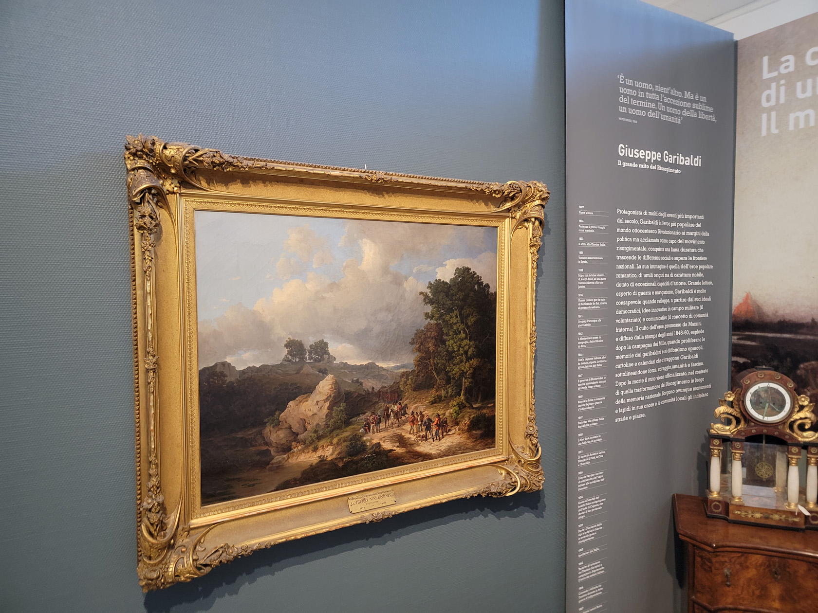
The Civic Museum of the Risorgimento
This museum has artifacts from local historic events following the fall of Venice, up to the time of the mid 1800s. Including documents and written accounts of the annexation of Friuli to the Kingdom of Italy in 1866.
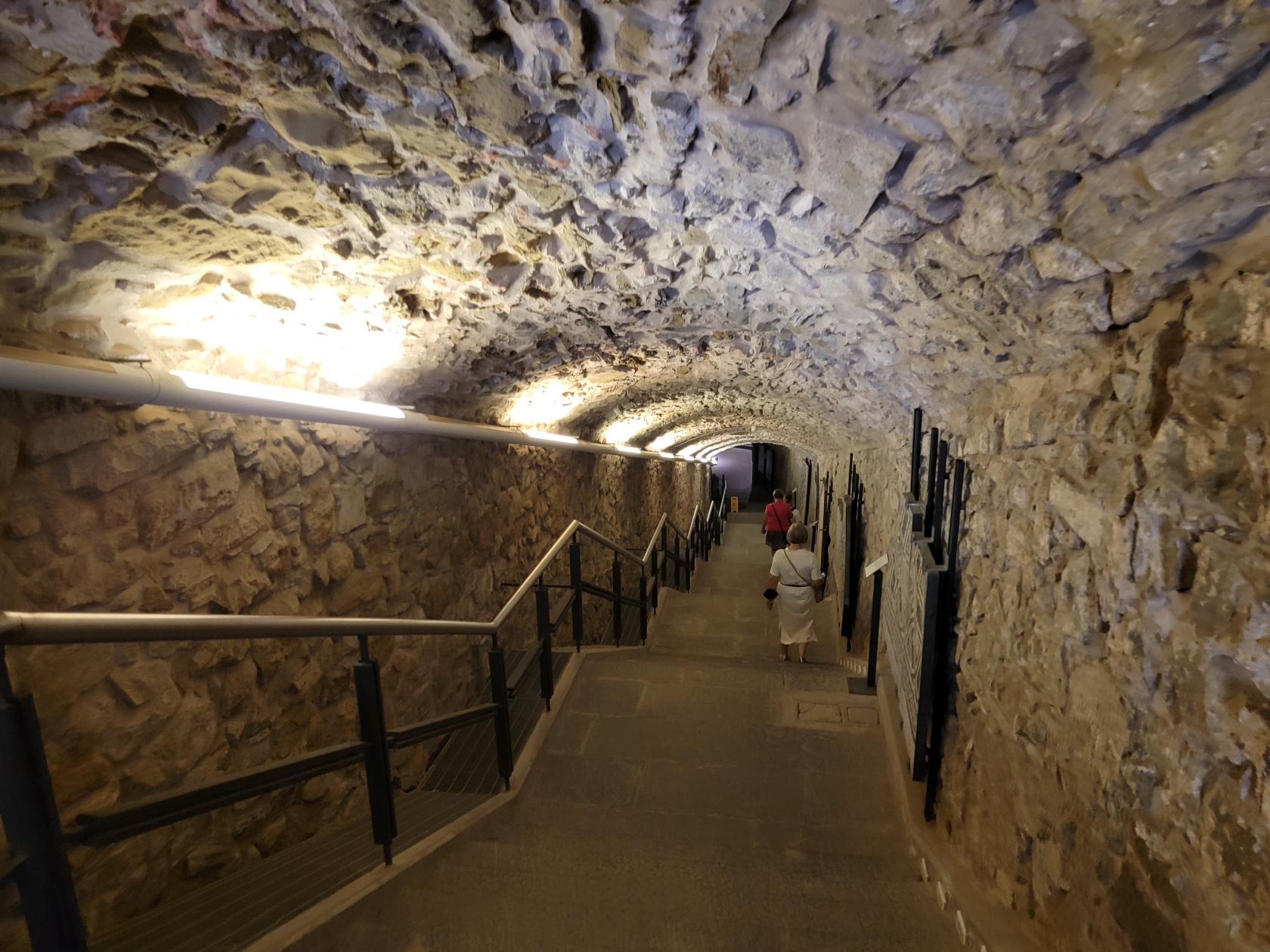
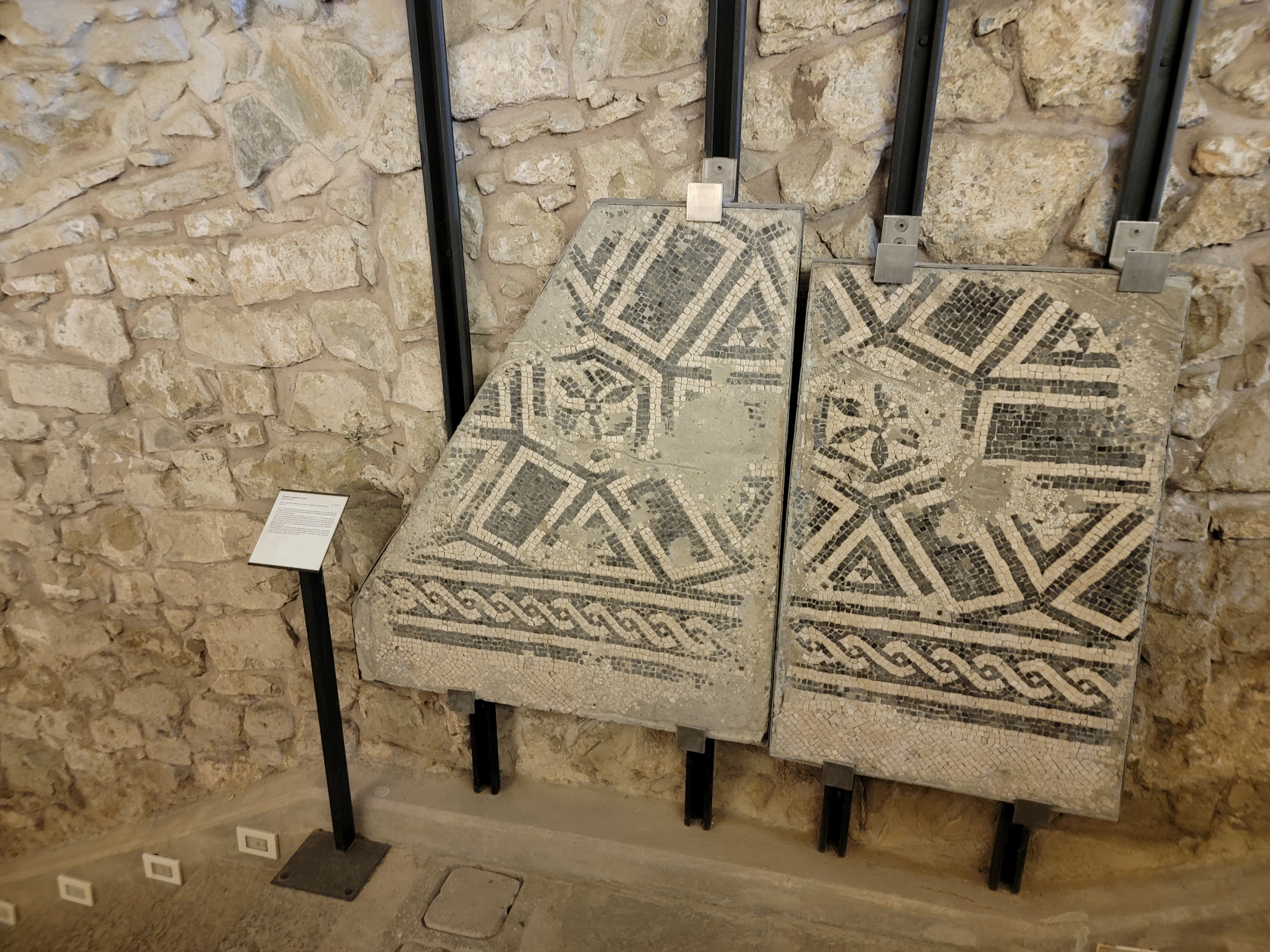
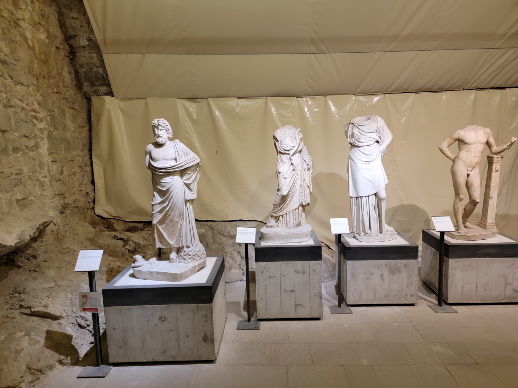
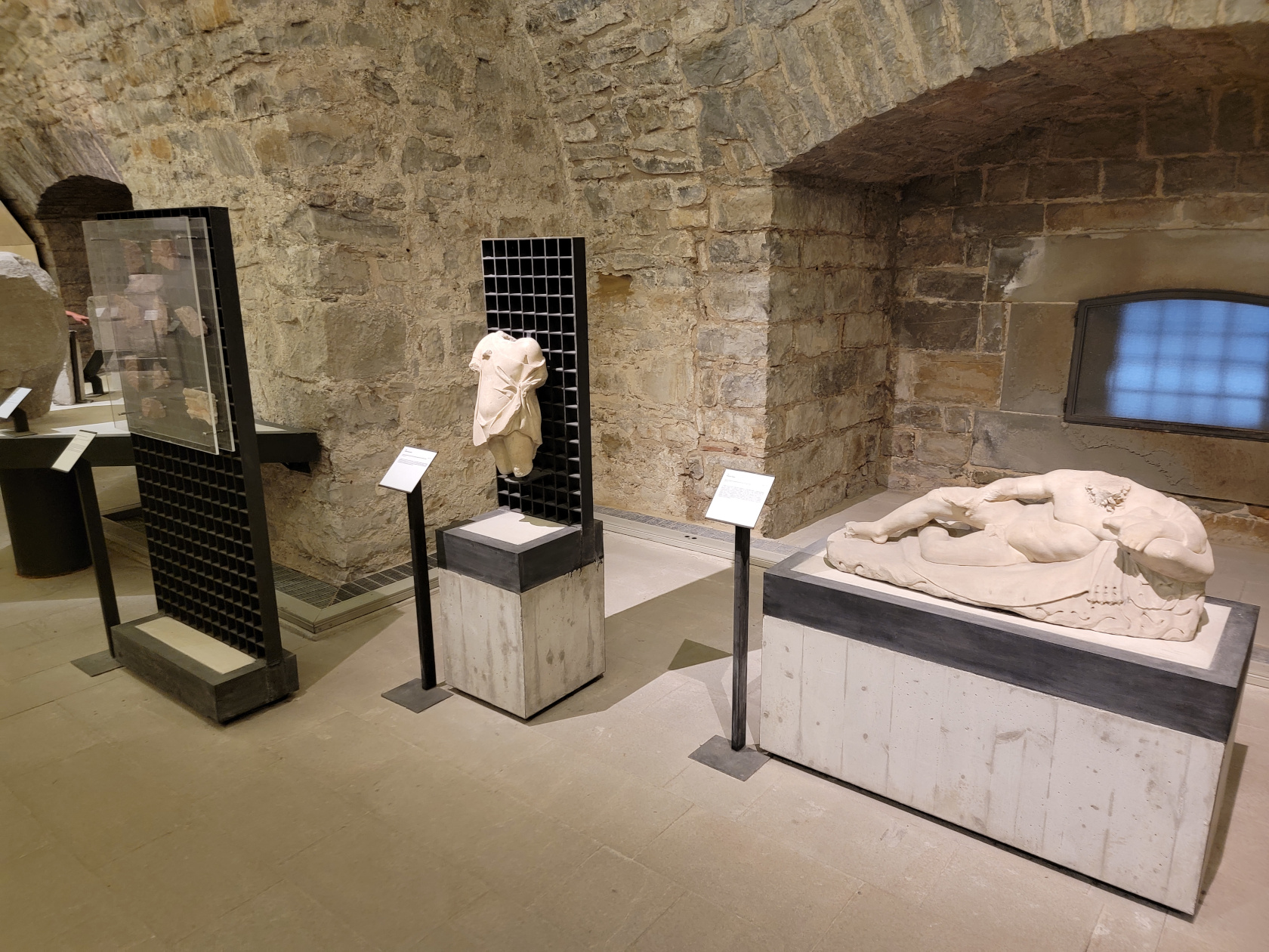
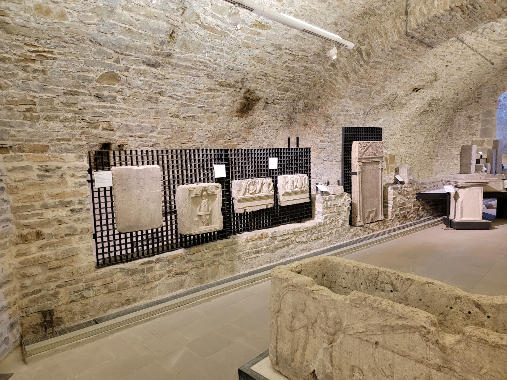
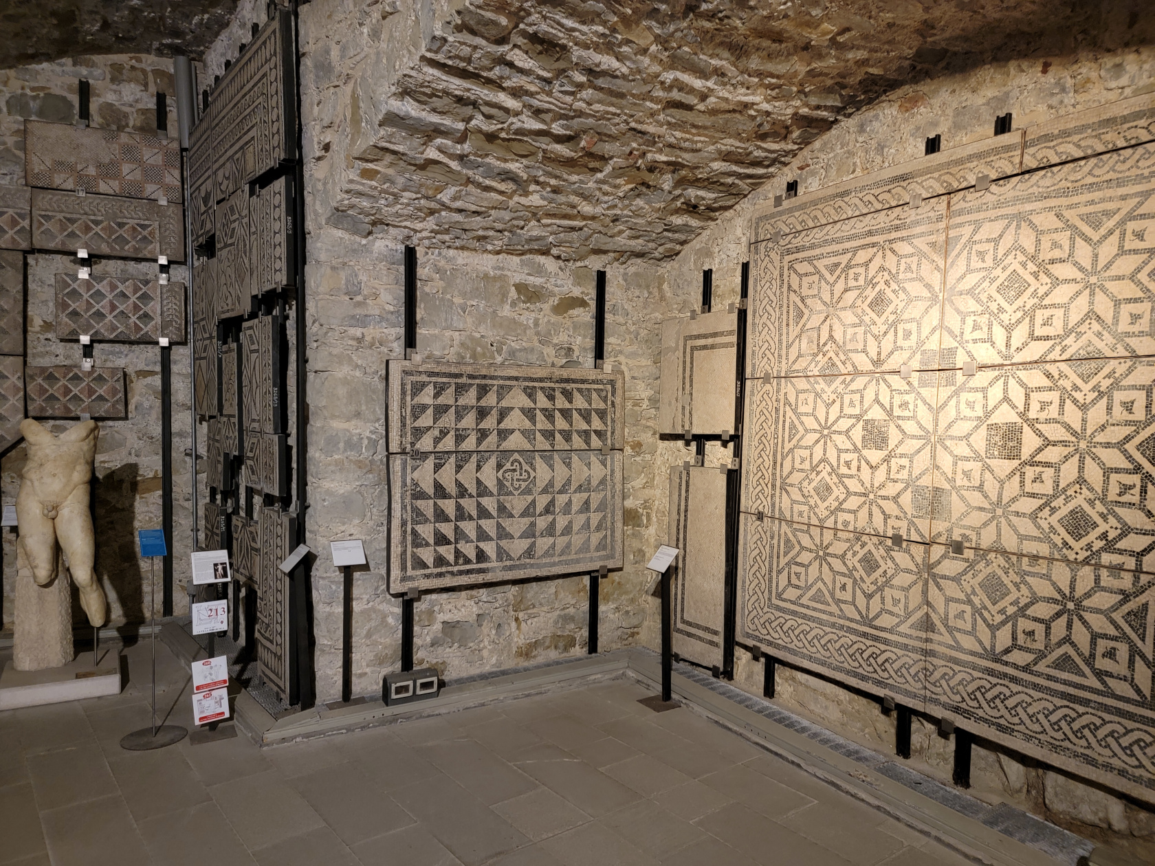
The Archaeological Museum
This museum contains an impressive ancient coin collection and other artifacts from ancient and Roman times. Including amphorae, old oil lamps and other funerary objects. Though a small collection, it was rather interesting to learn where each was found locally and their relative histories.
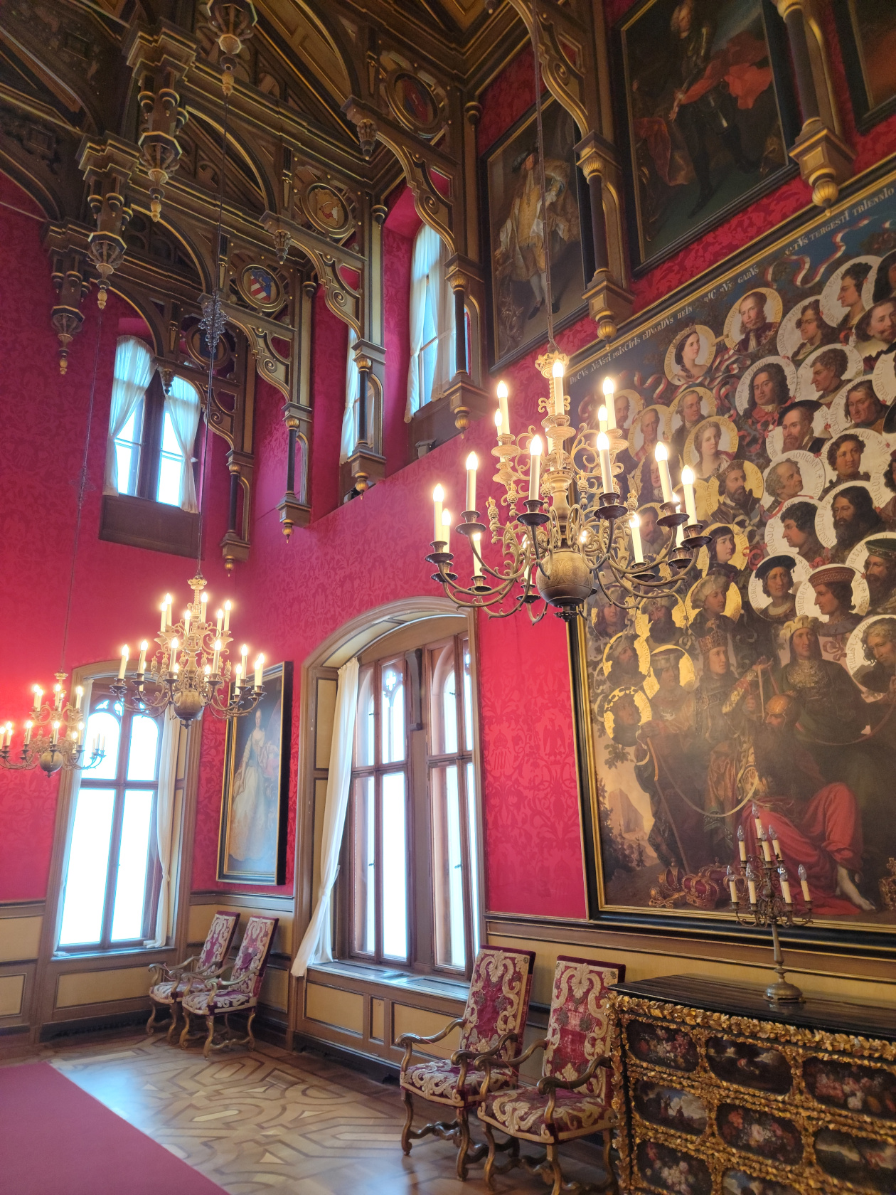
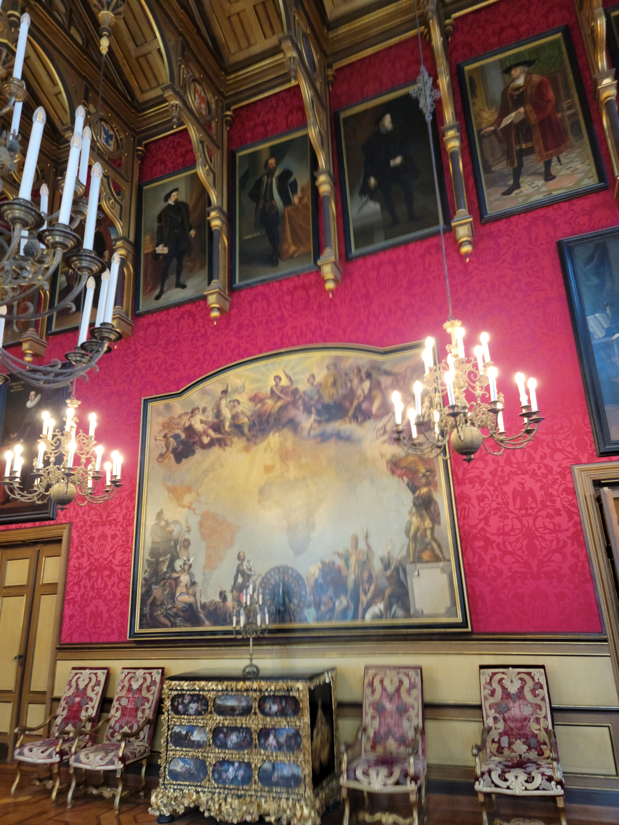
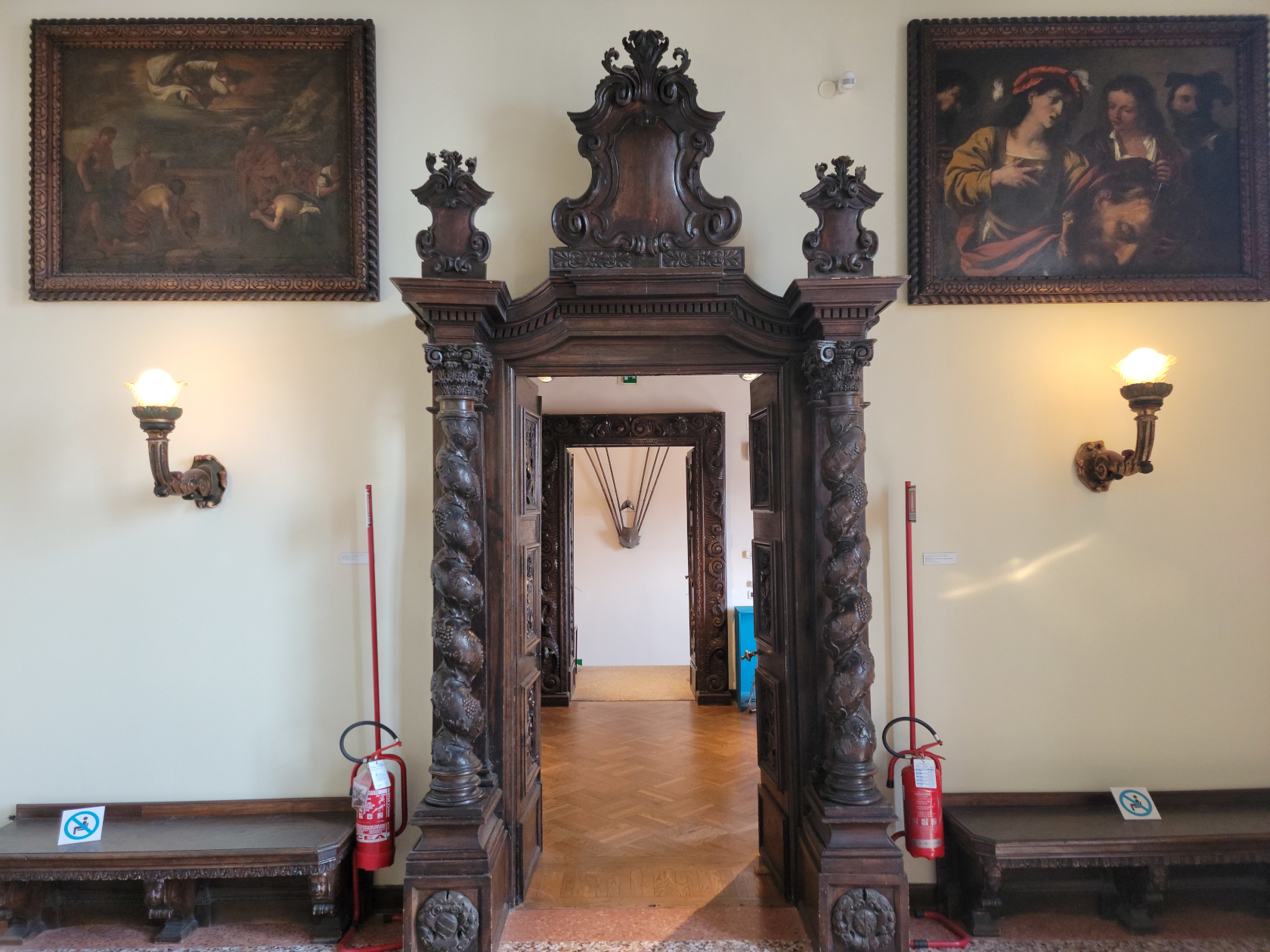
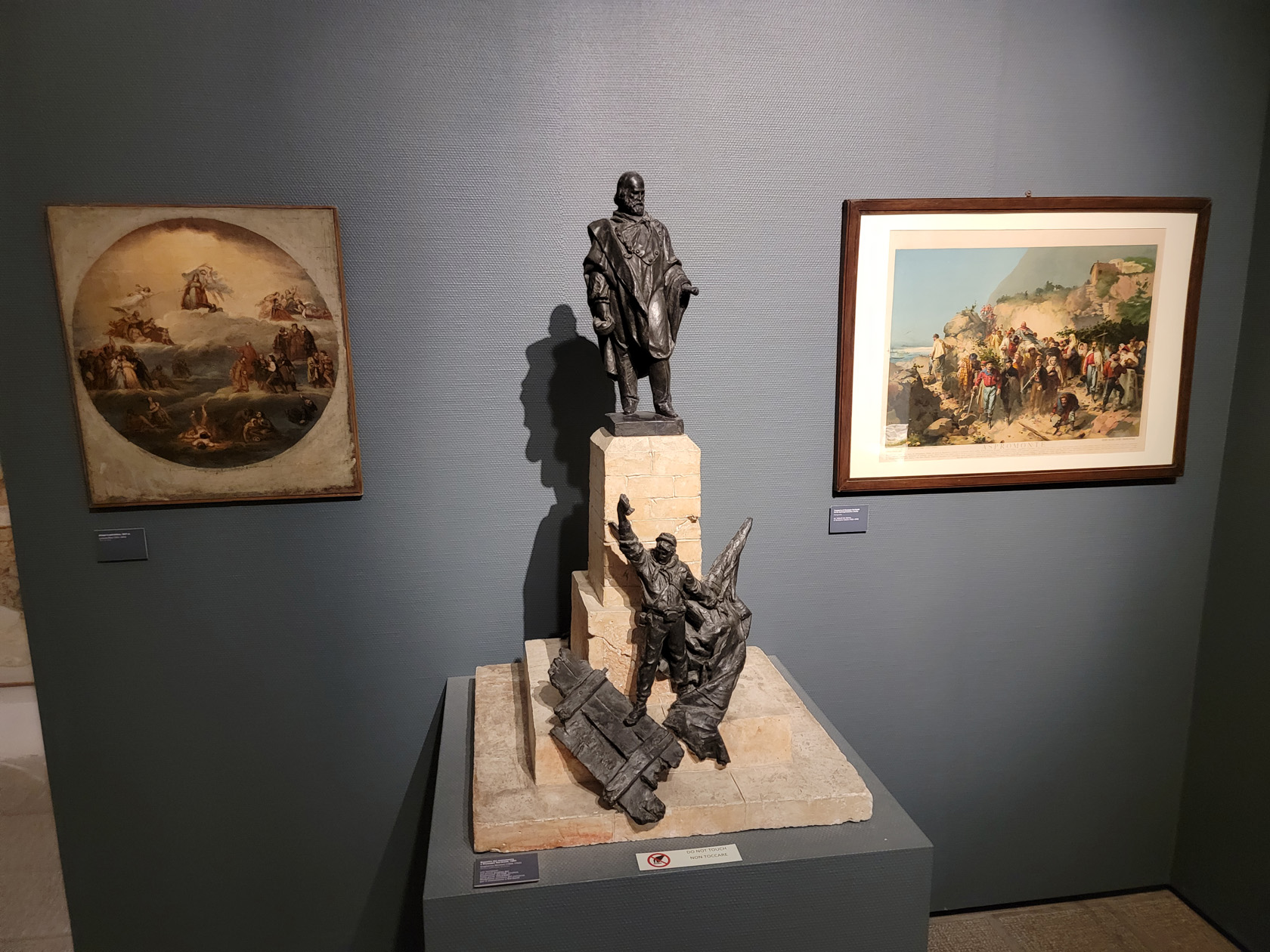
Gallery of Ancient Art
A gallery of art comprising works of local artists from the fourteenth to the nineteenth centuries. Most of the work appear religious in nature. Some of those that caught my eye in particular are the following.
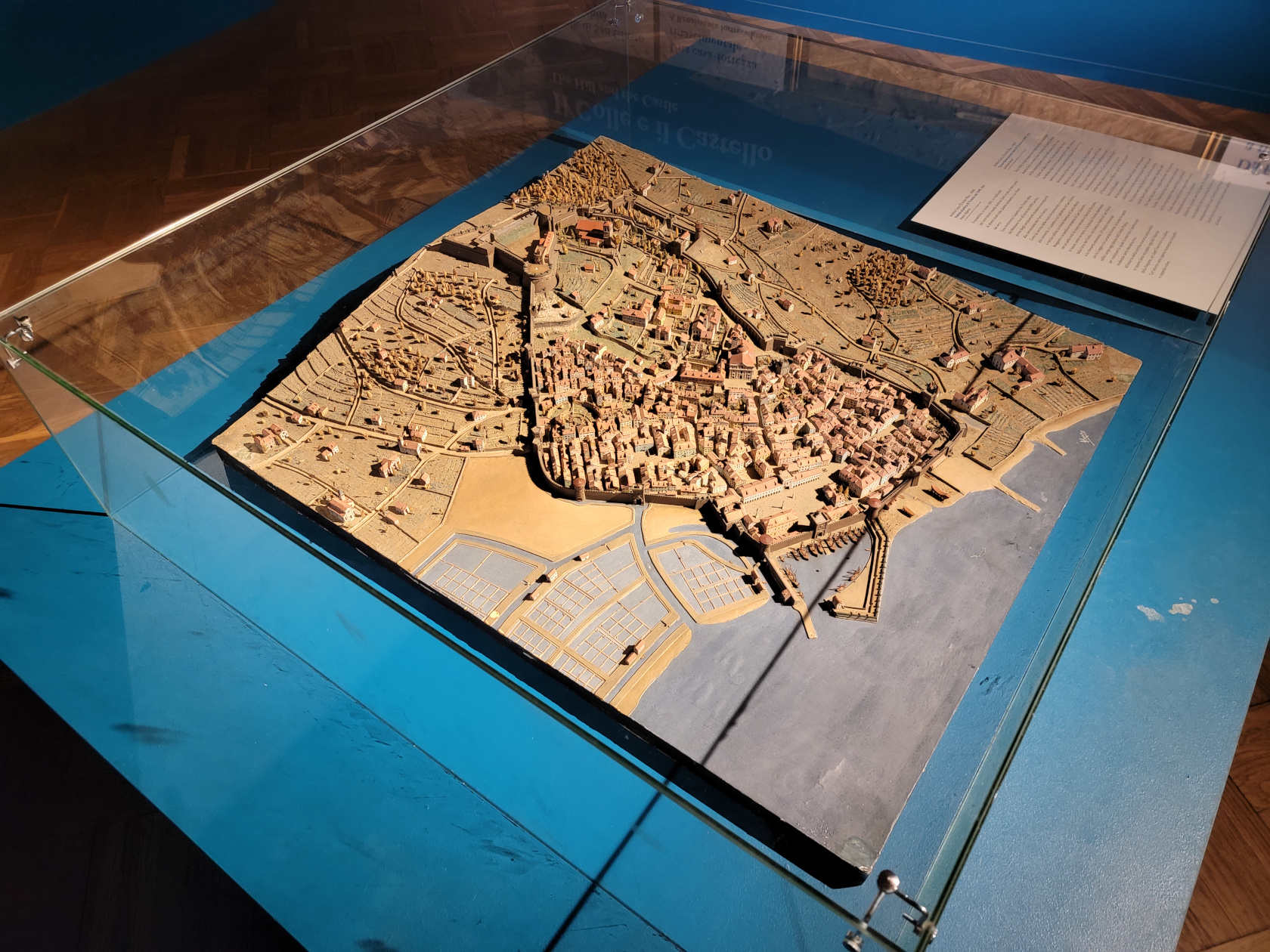
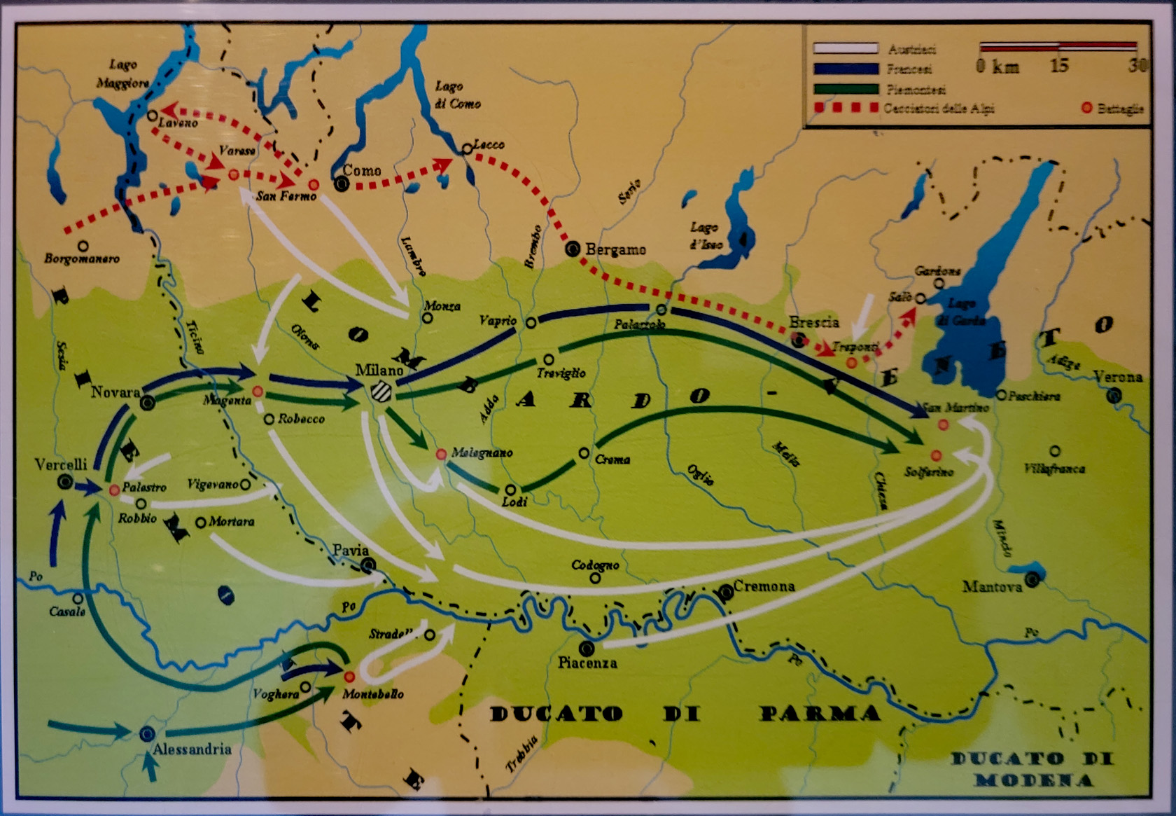
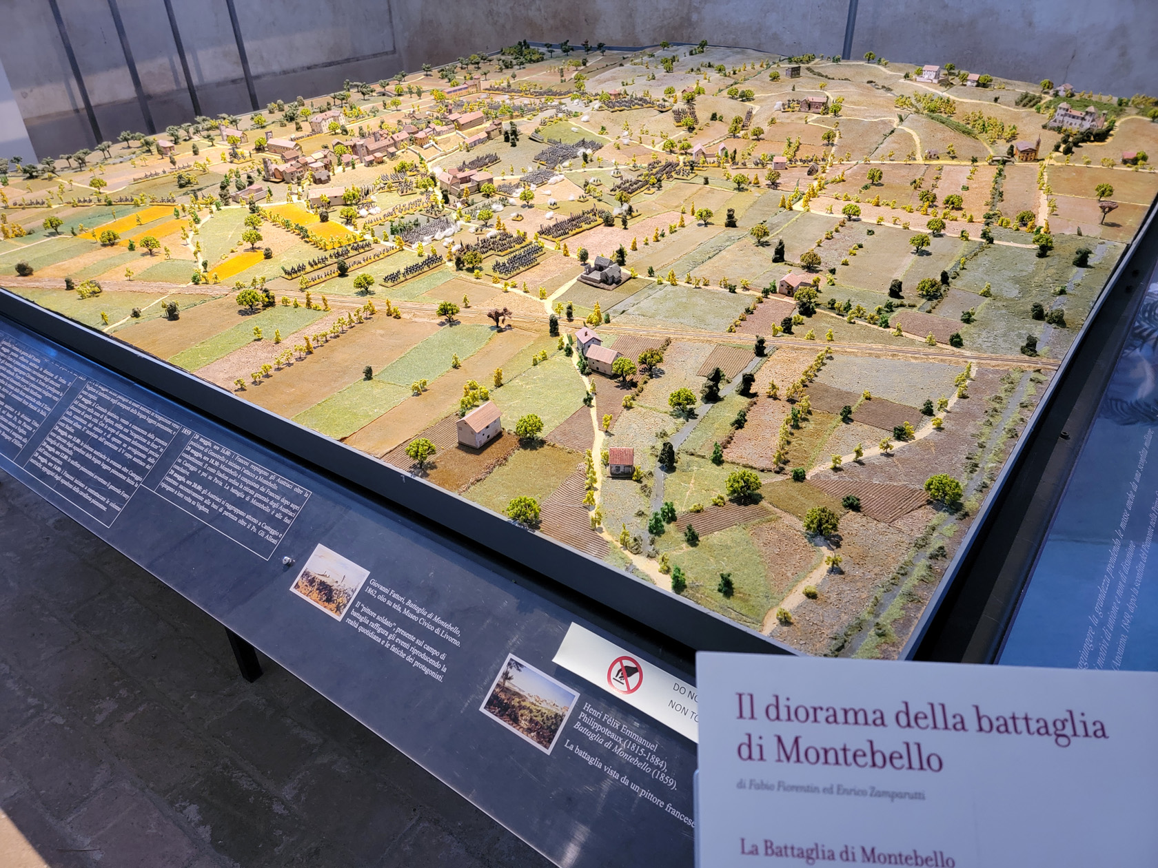
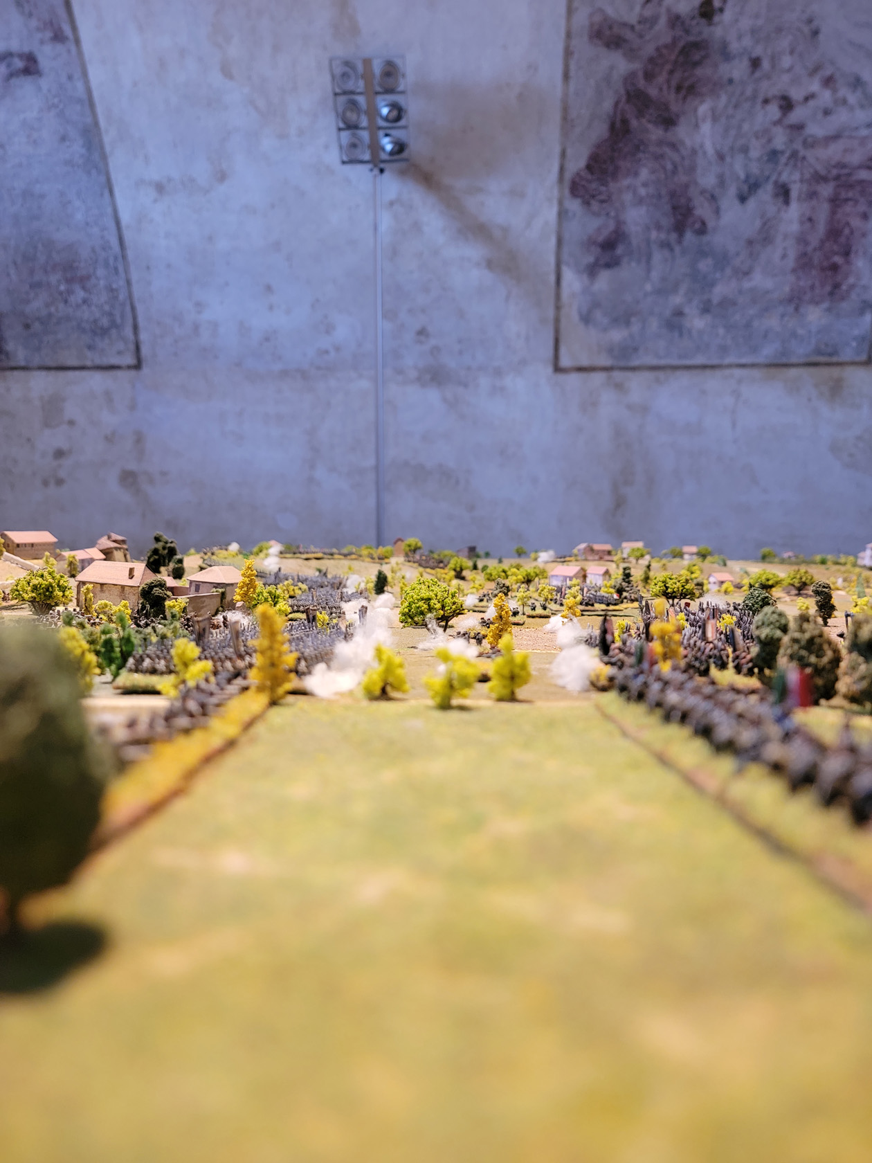
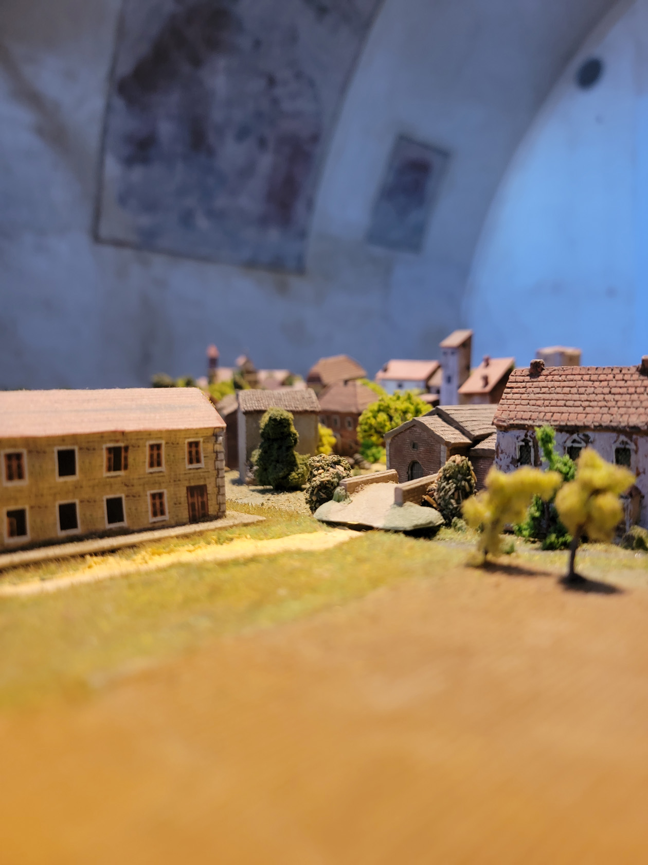
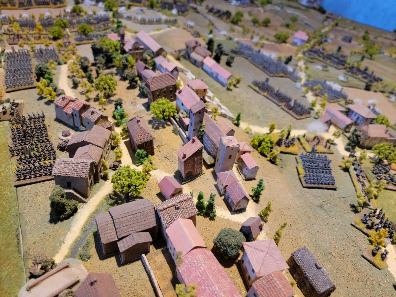
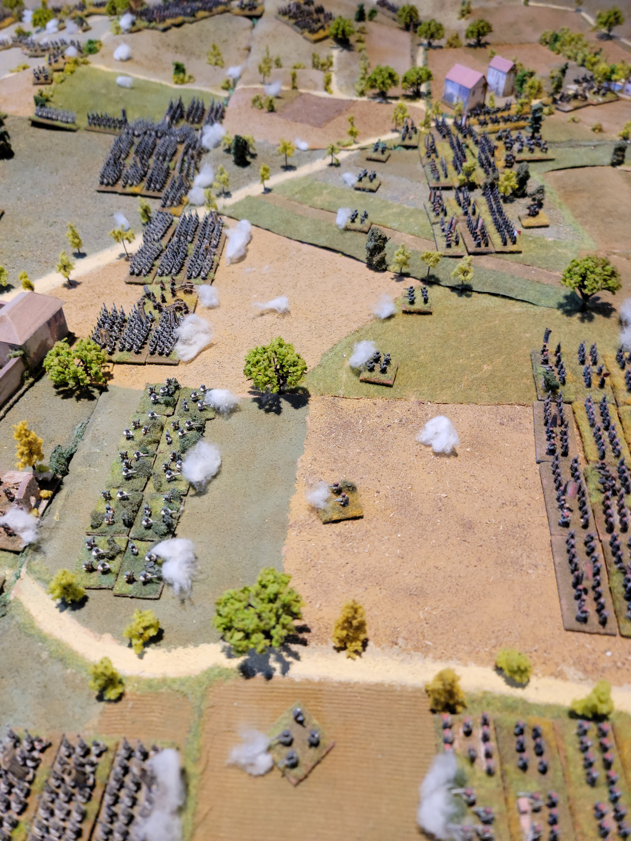
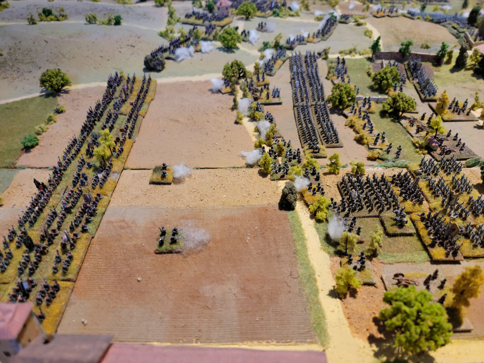
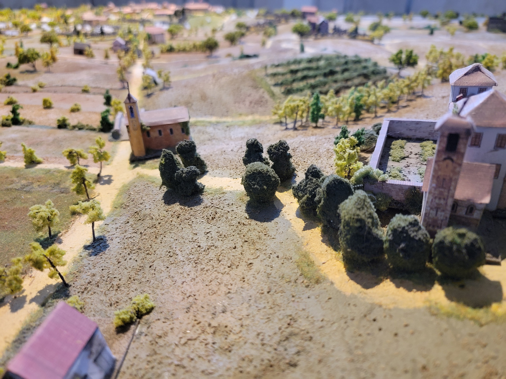
Diorama of the Battle of Montebello
Complete with a map showing the order of battle, this diorama clicks all the right boxes for the model builder at heart.
The museum has an extraordinary diorama of the Battle of Montebello. For anyone that is or was a model builder, or a warfare historian, one can stand and just marvel at it for some time.
Churches
There are several noteworthy churches in the area, though we were not actually able to visit all of them inside.
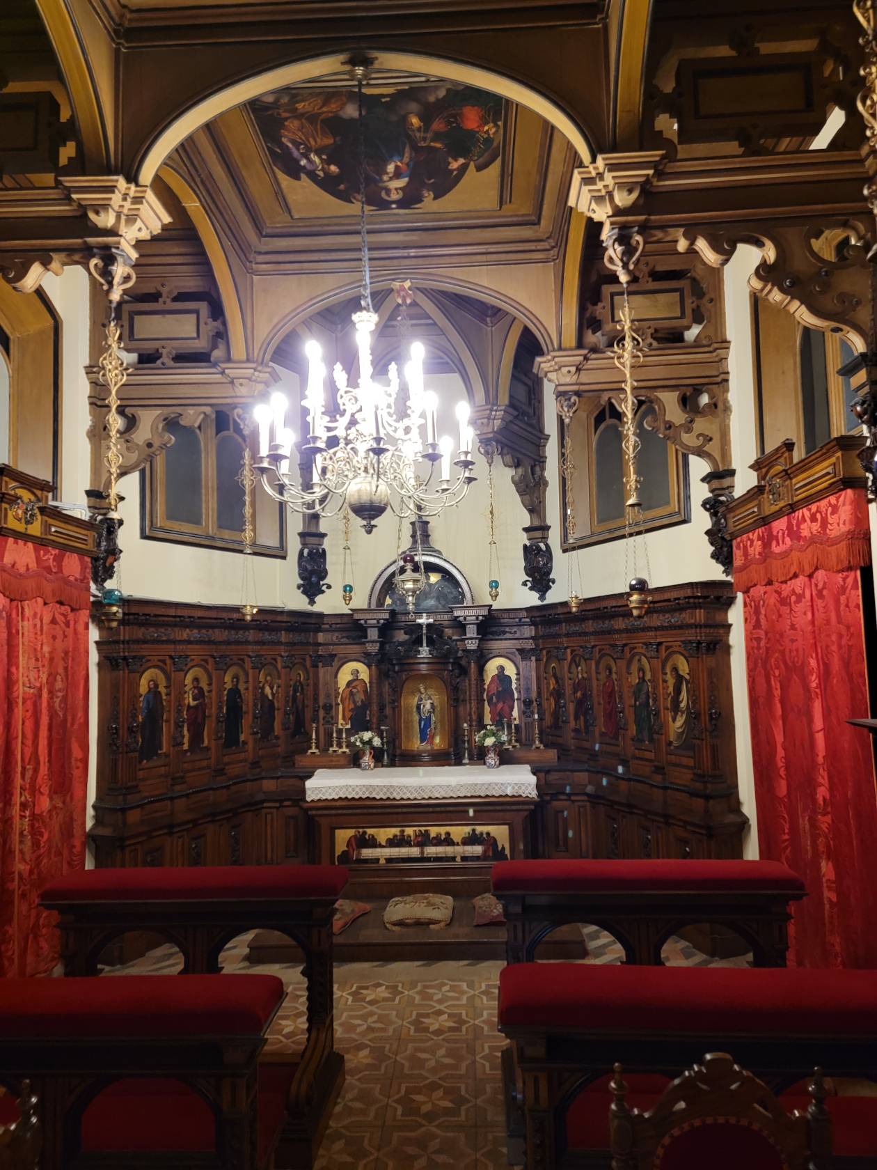
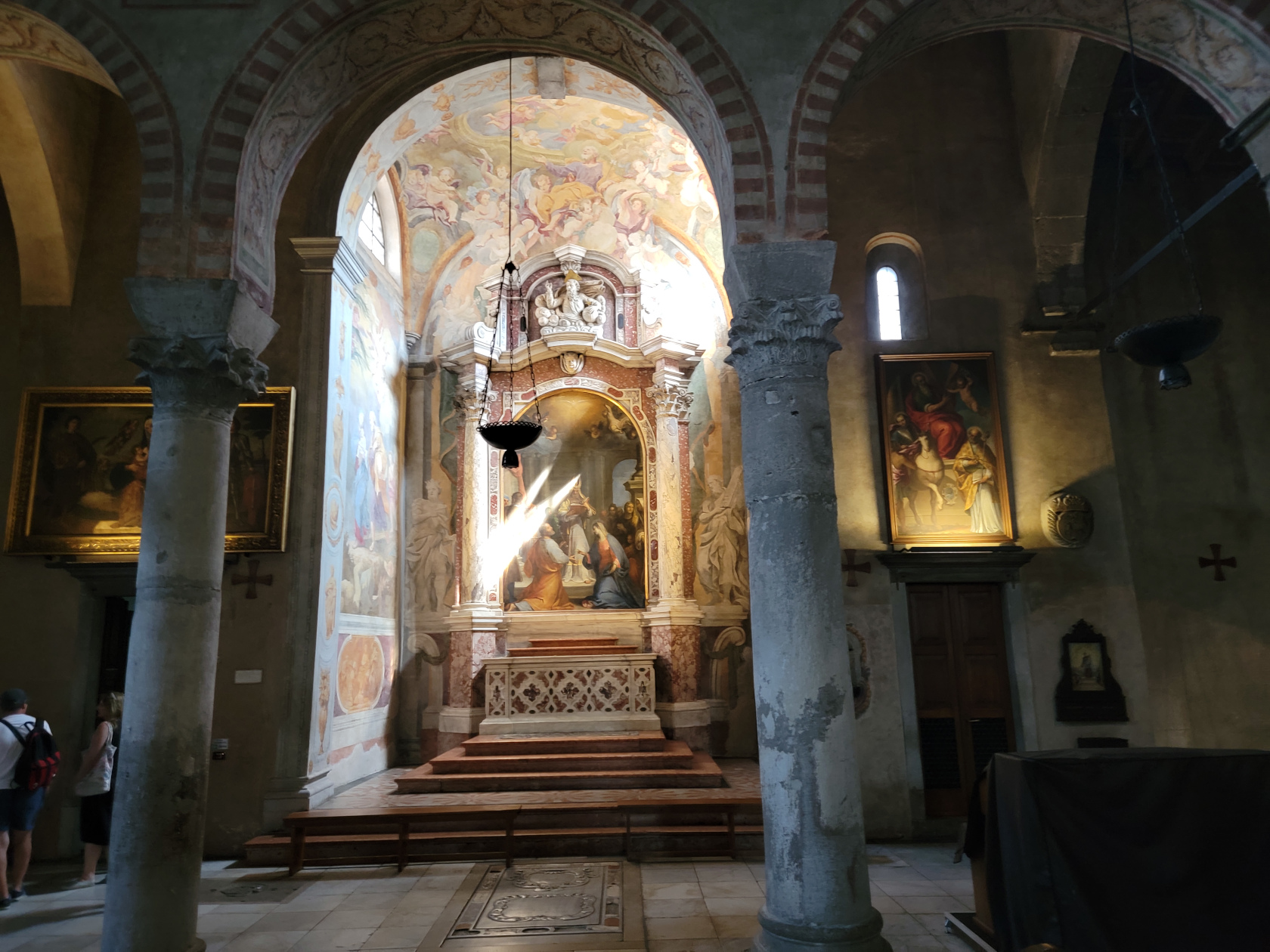
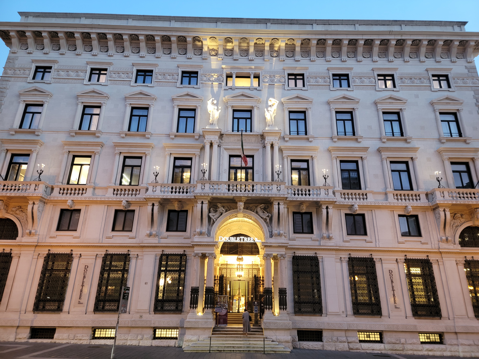
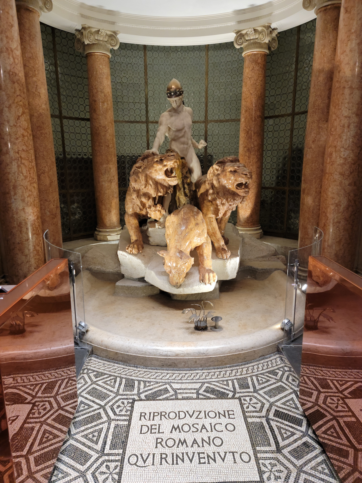
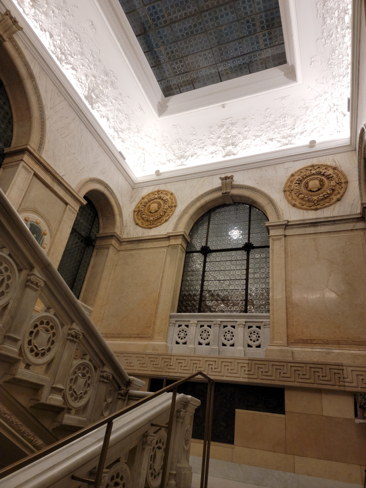
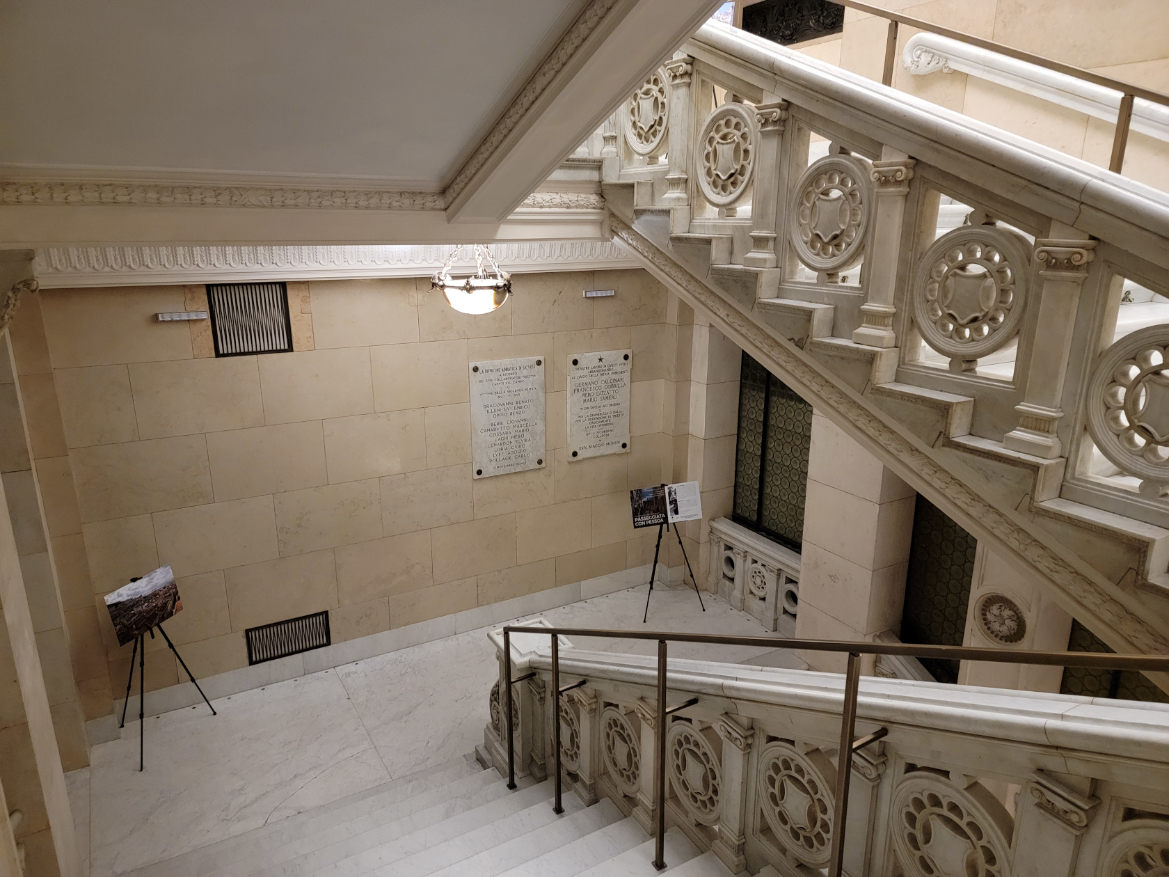
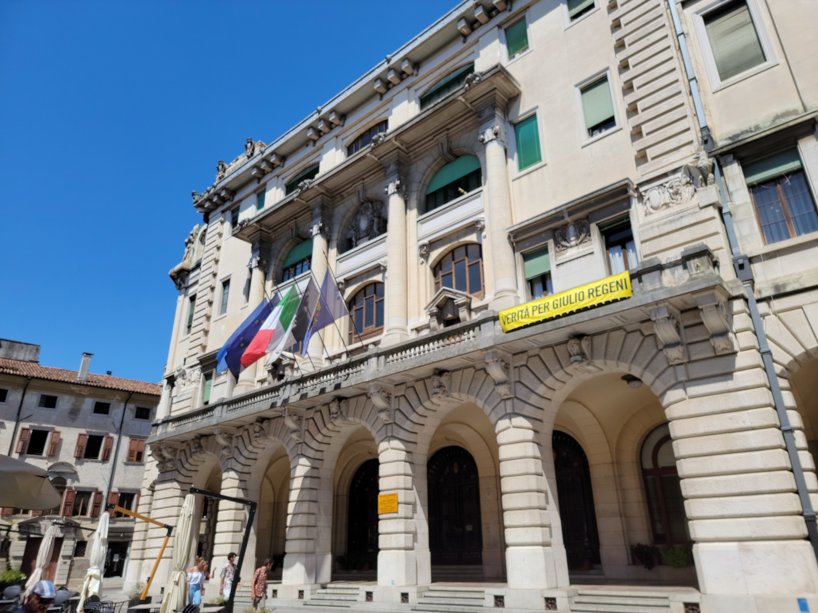
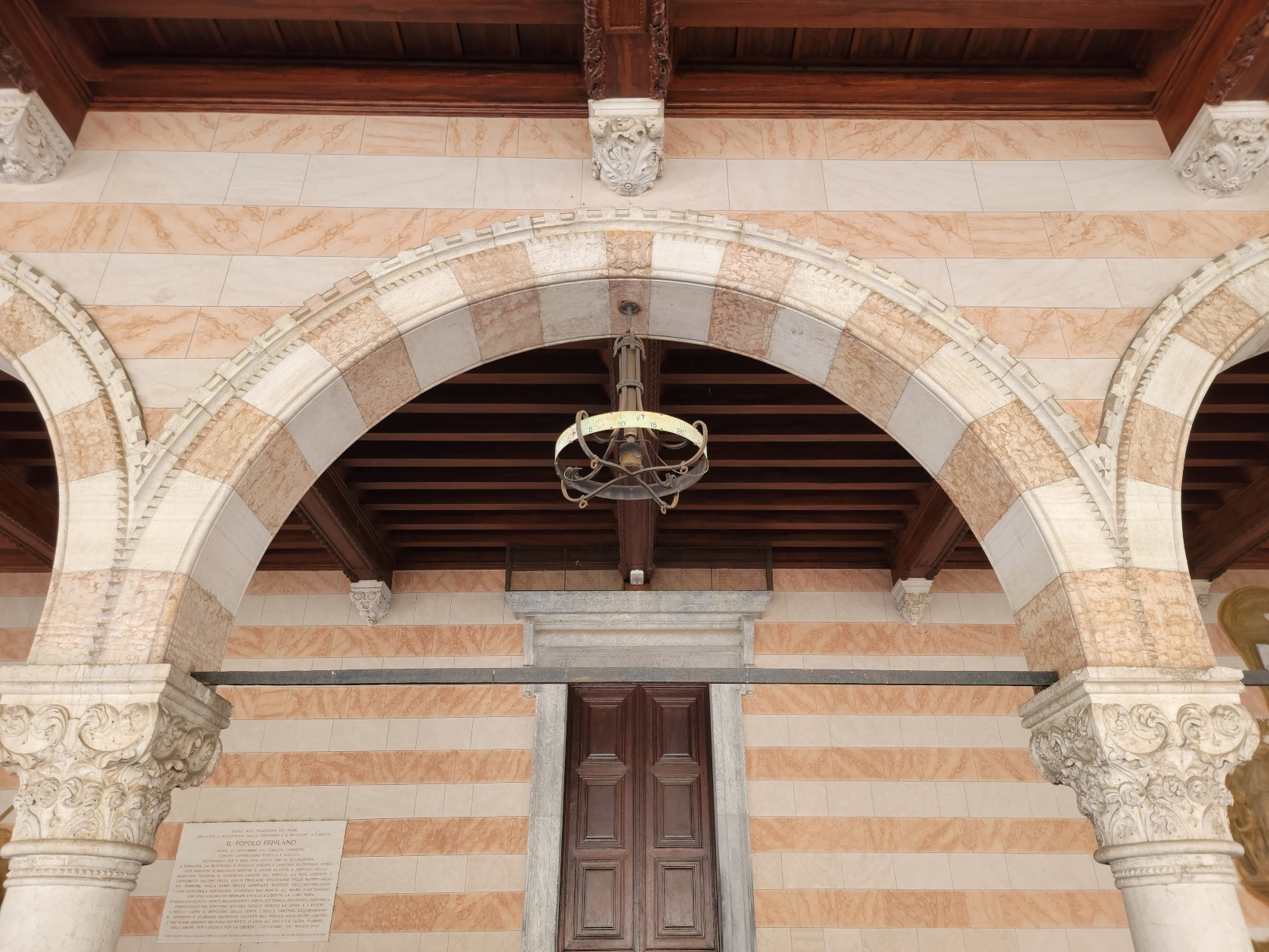
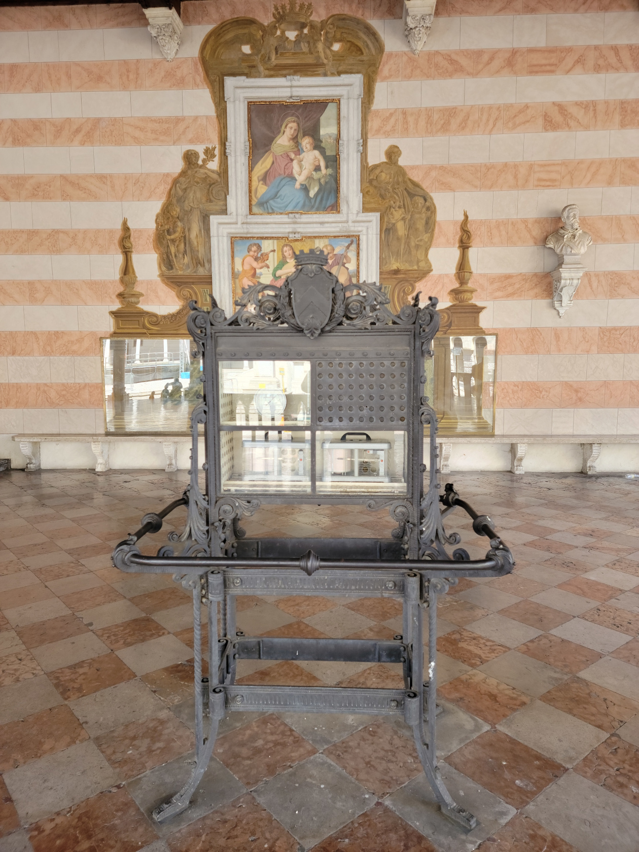
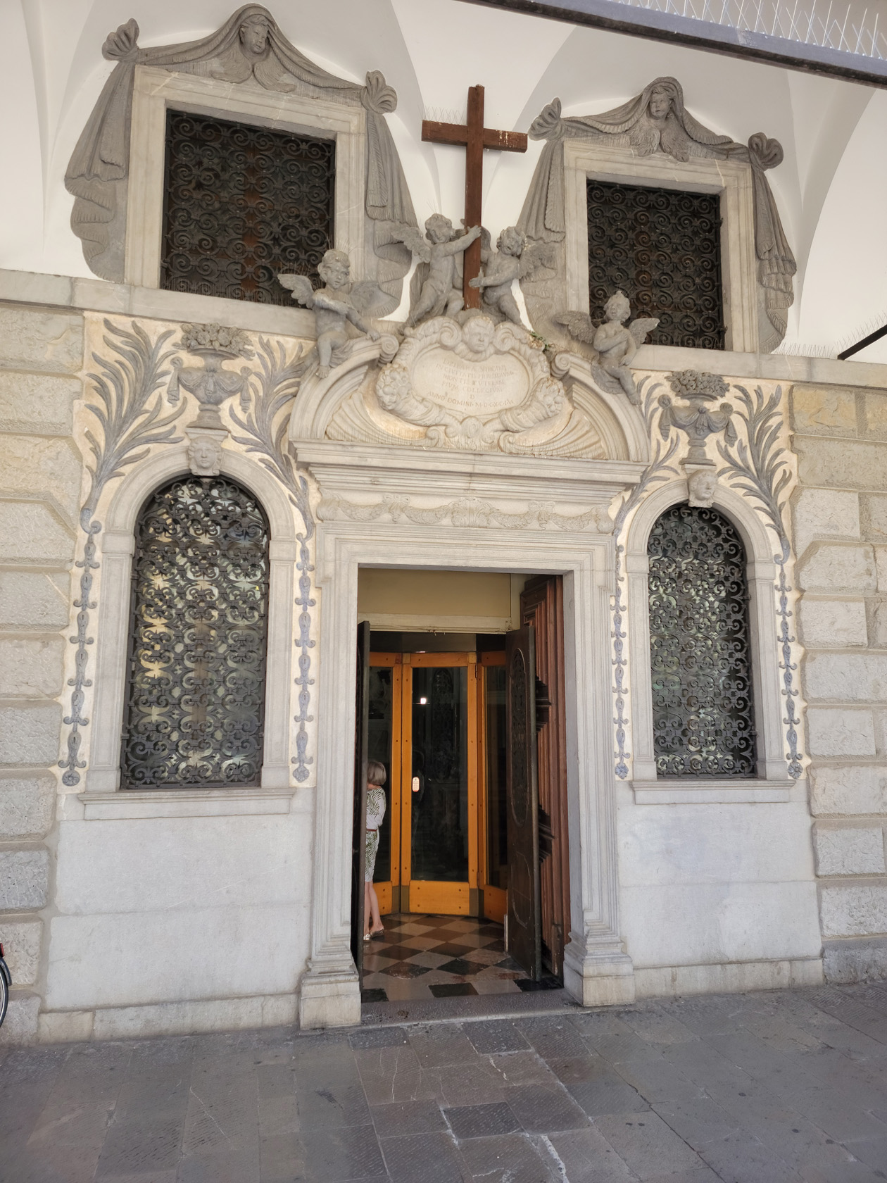
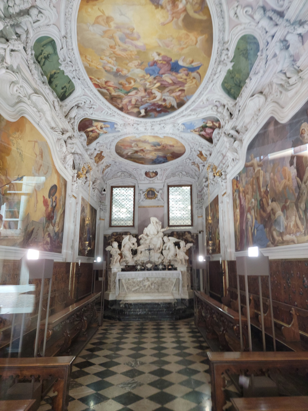
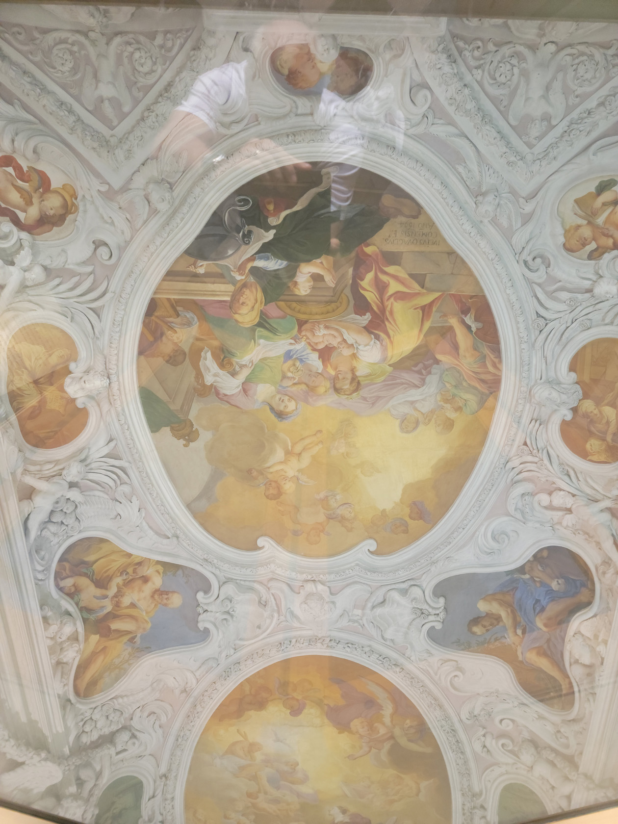
Chapel of Palazzo del Monte di Pietà
A chapel, which has beautiful frescoes and is now actually part of the bank Intesa Sanpaolo, is in the Palazzo del Monte di Pietà. Often walked right by tourists, if they are not paying attention, this chapel is a gem, see for yourself.
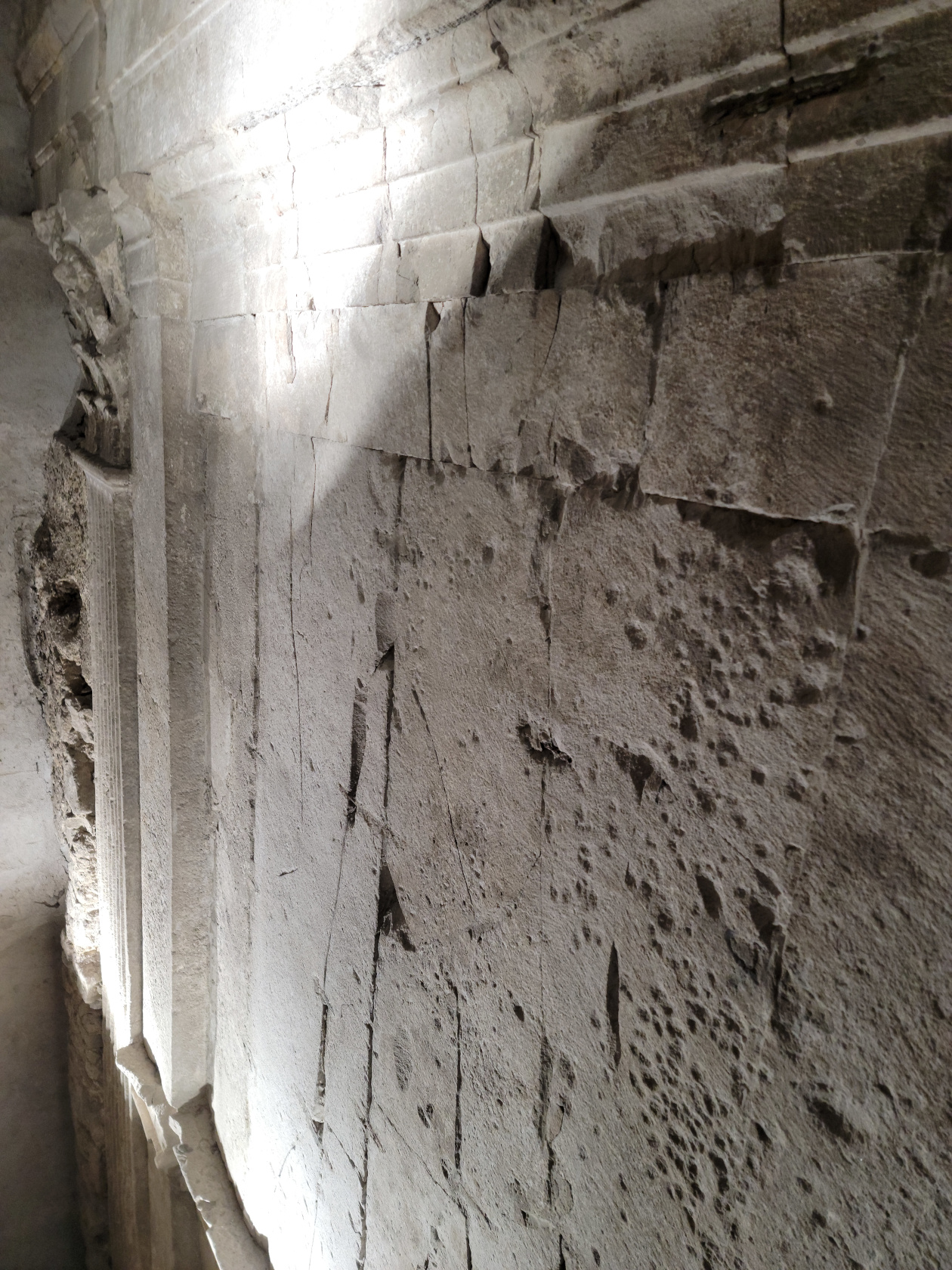
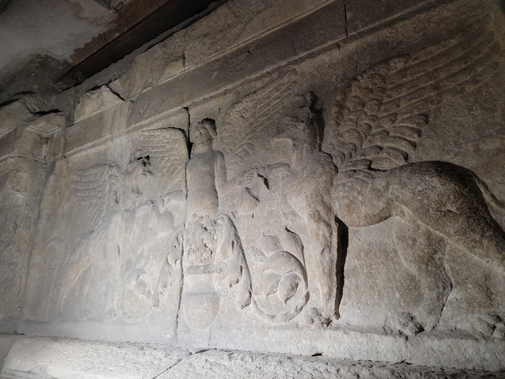
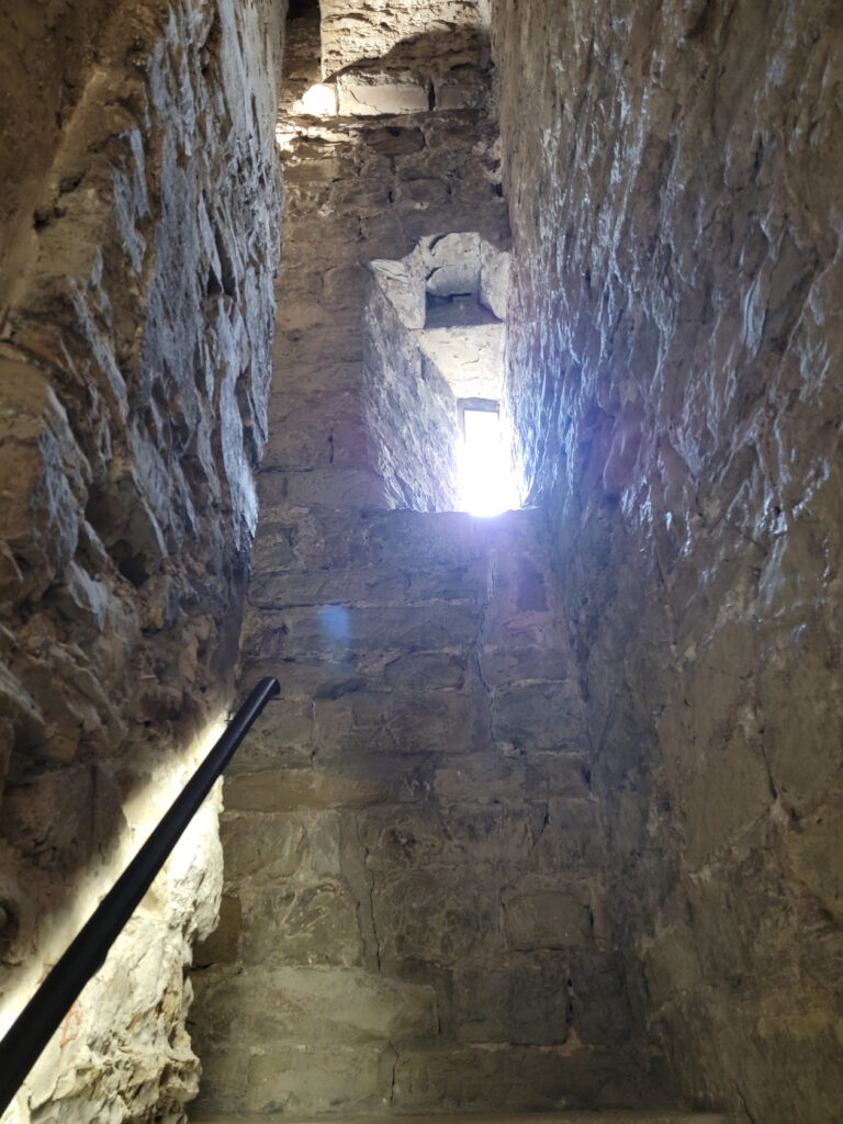
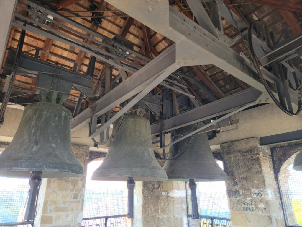
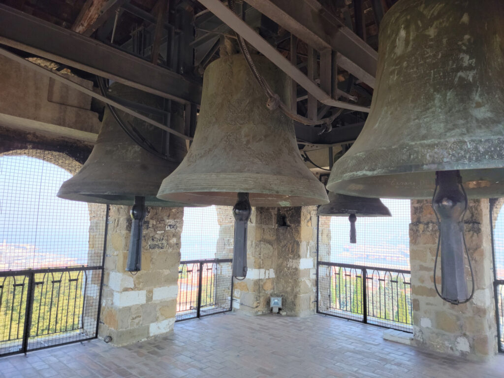
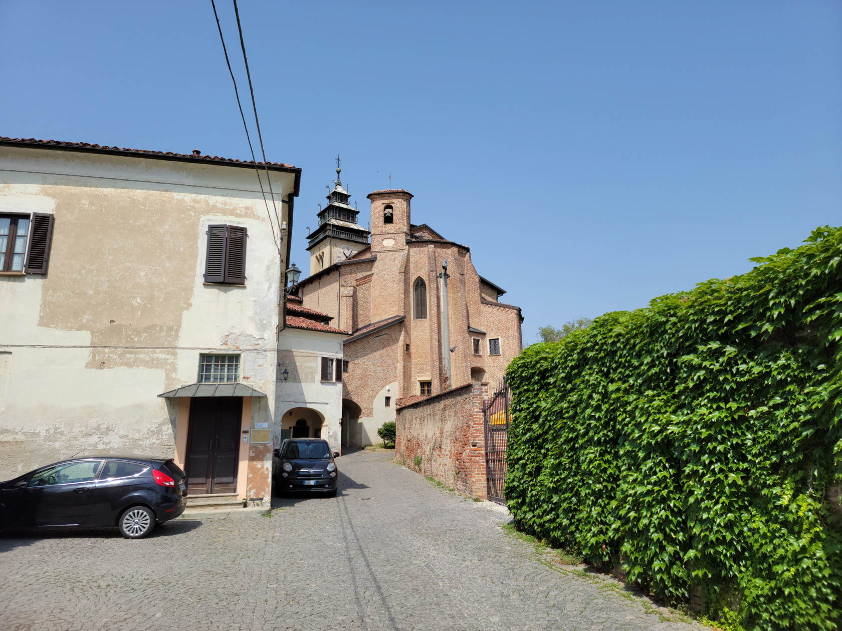
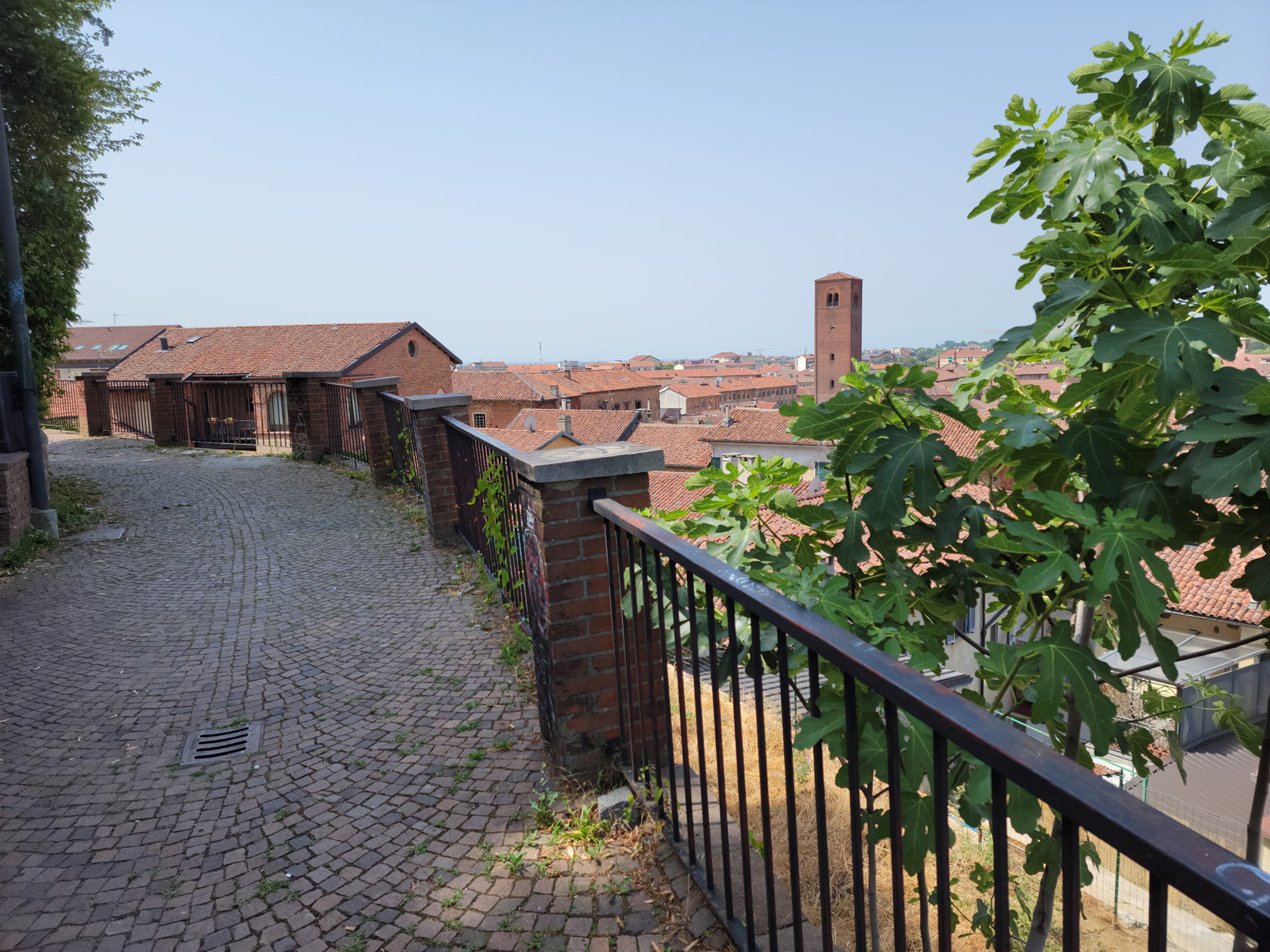
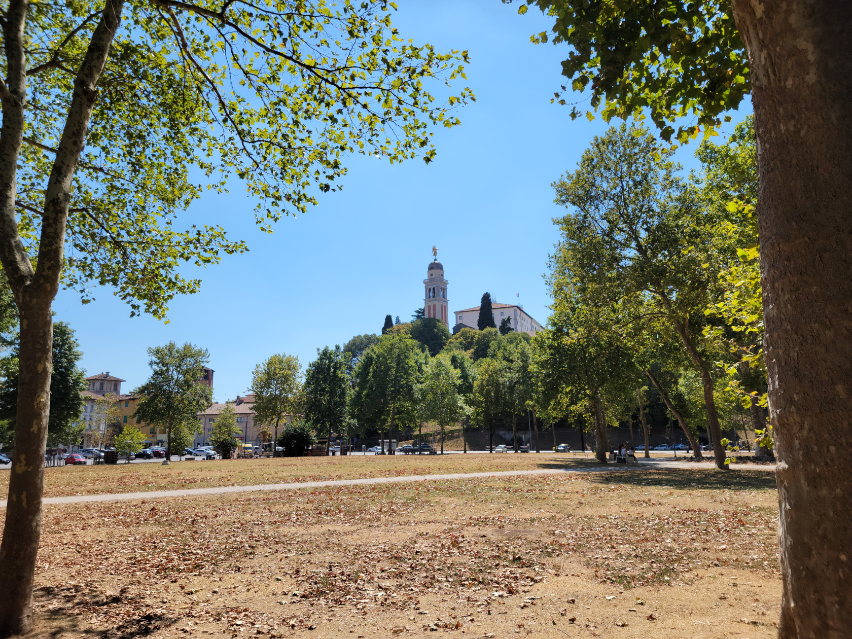
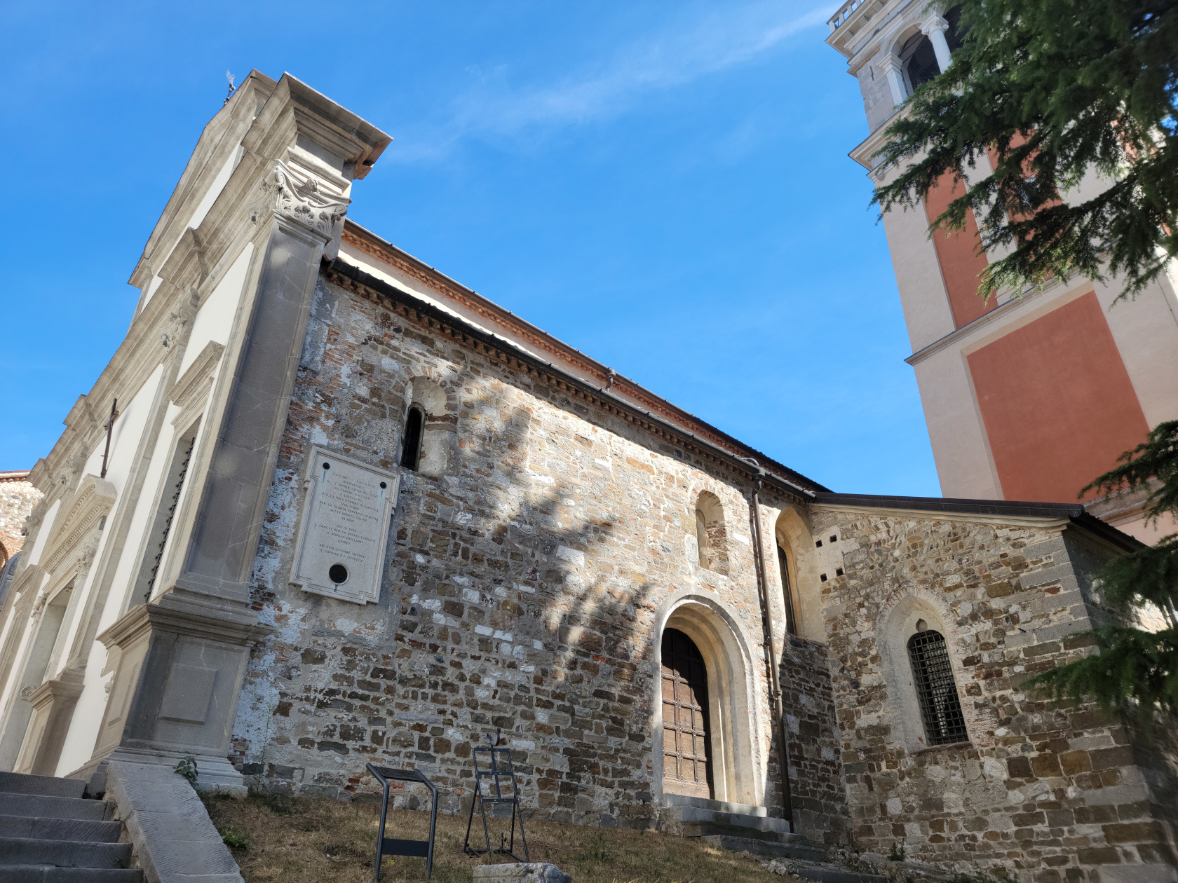
Church of Saint Maria di Castello
A church that is at the top of the hill and adjacent to the Castel is the Saint Maria di Castello. Complete with bell tower, a remarkable example
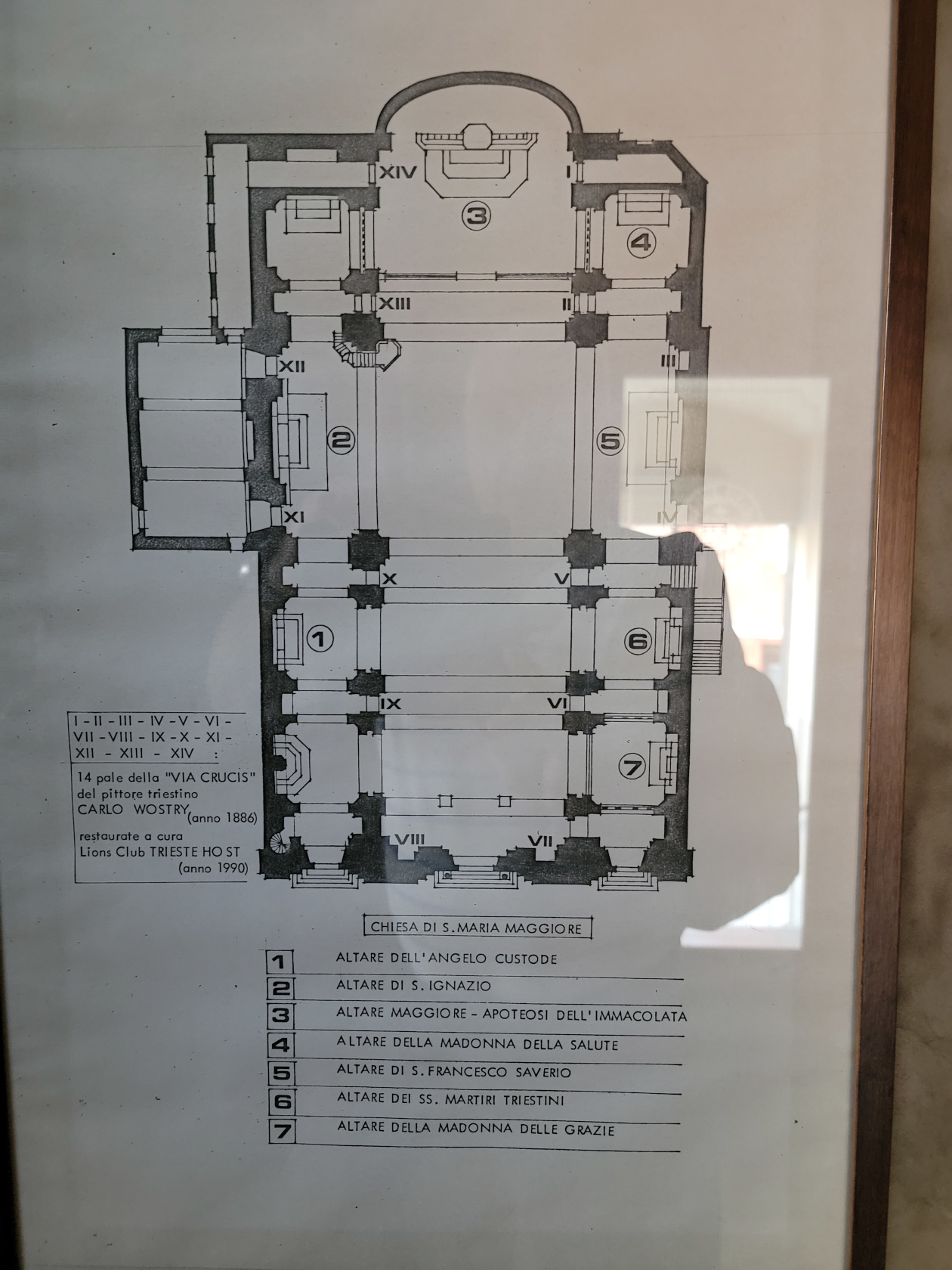
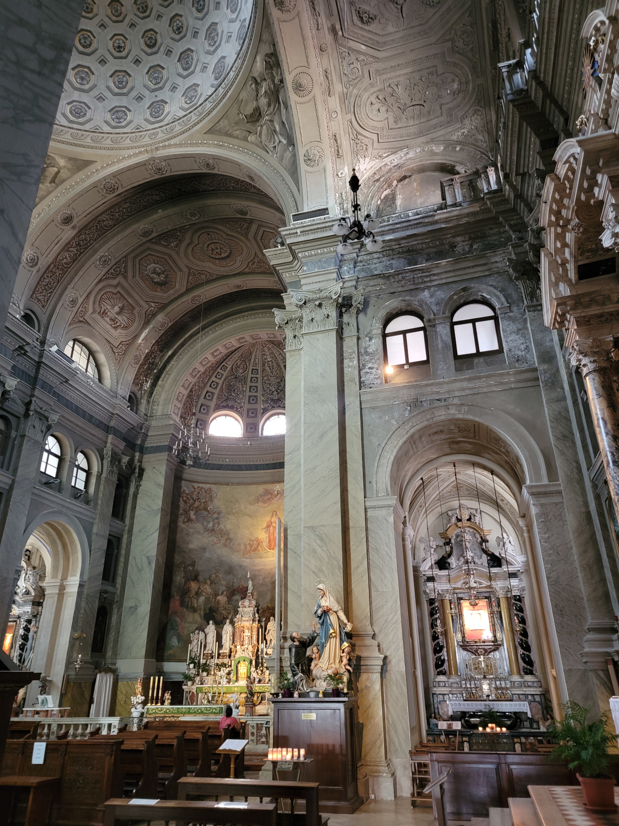
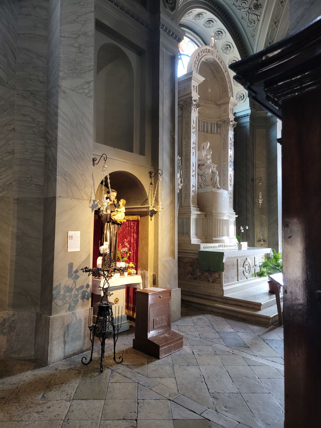
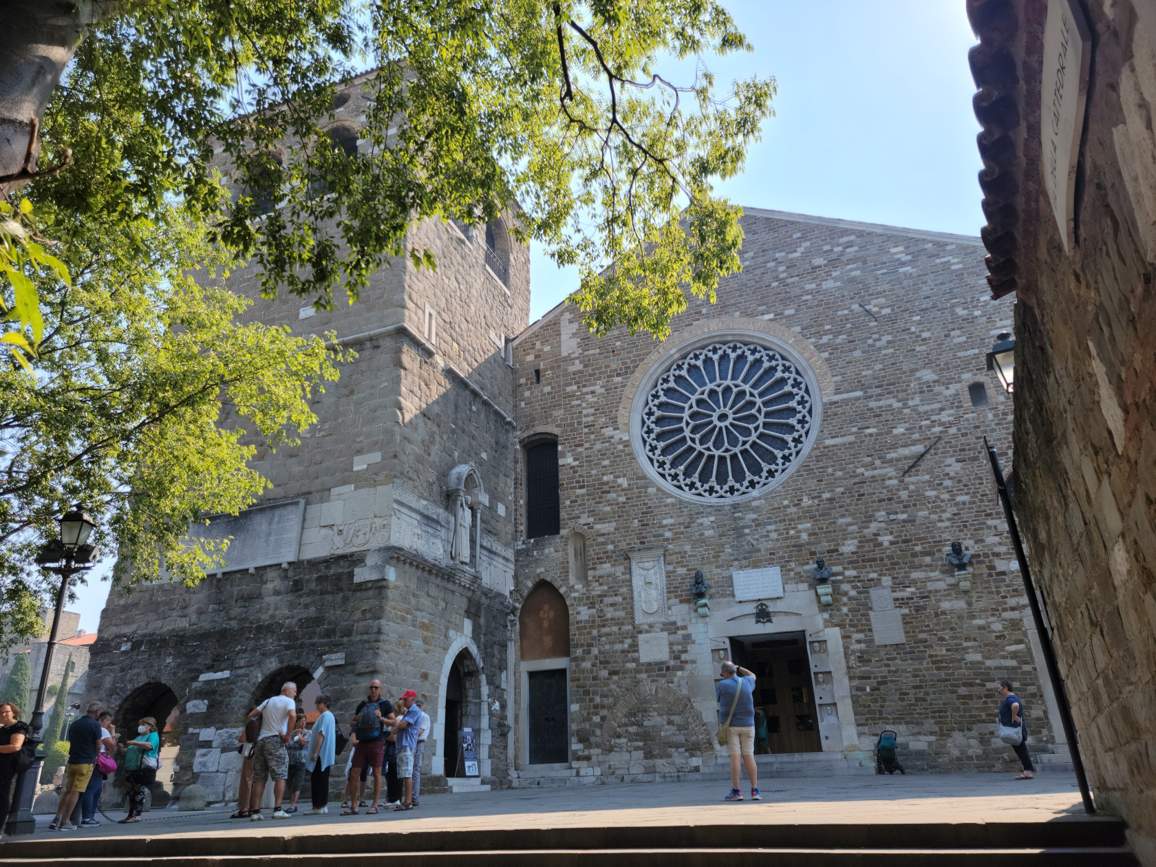
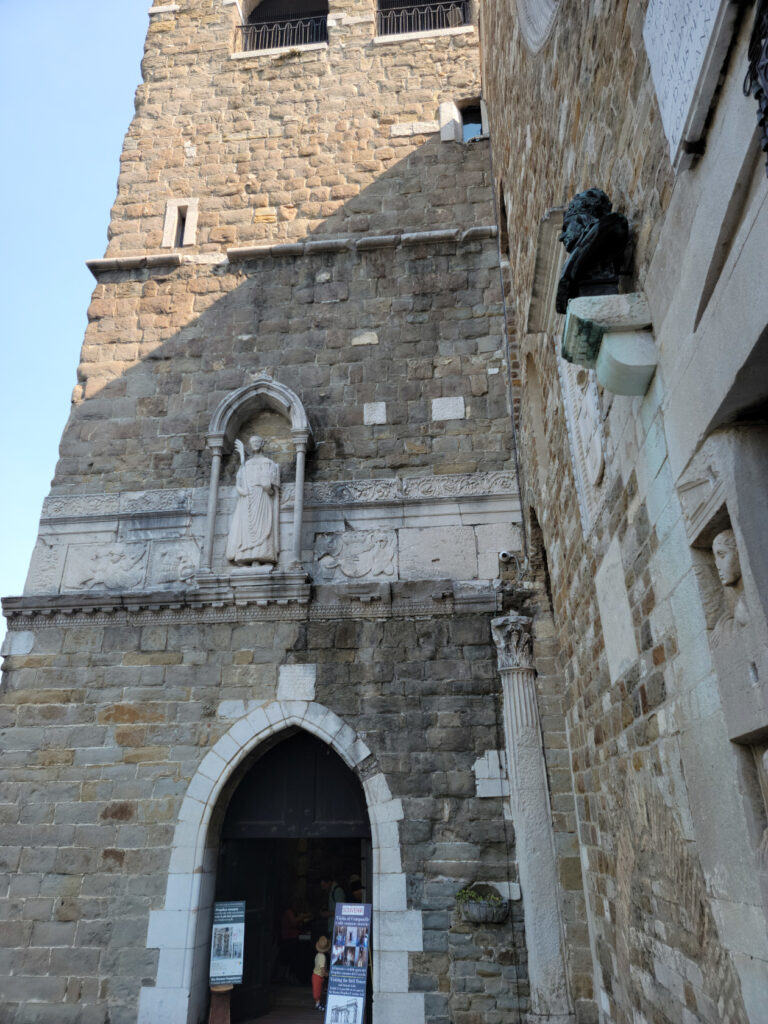
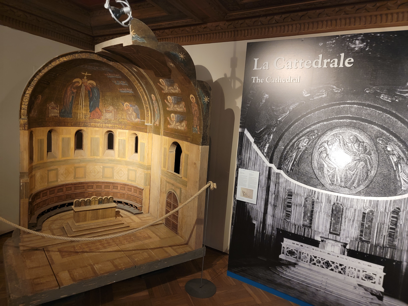
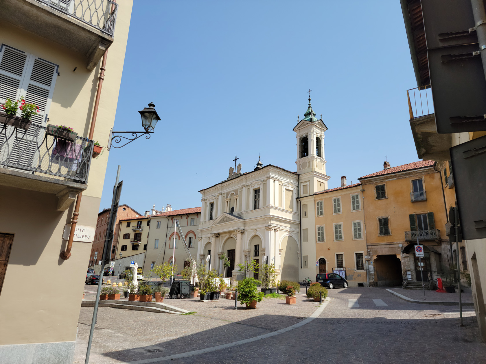
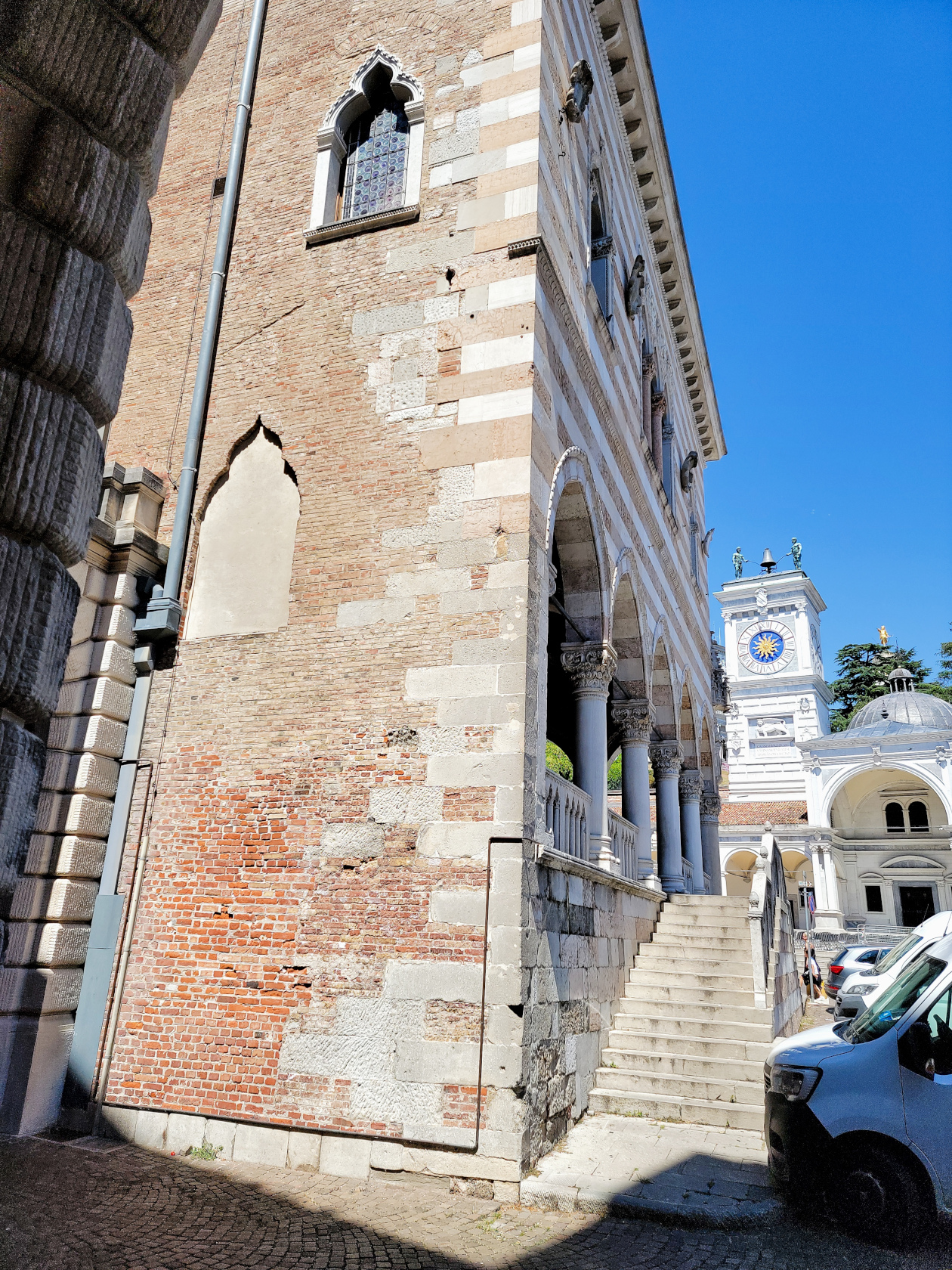
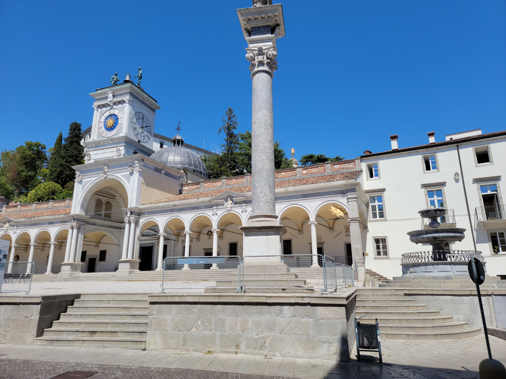
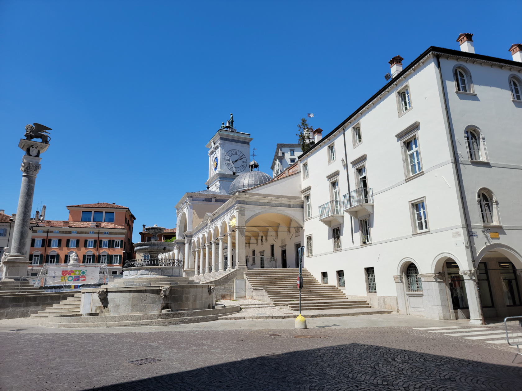
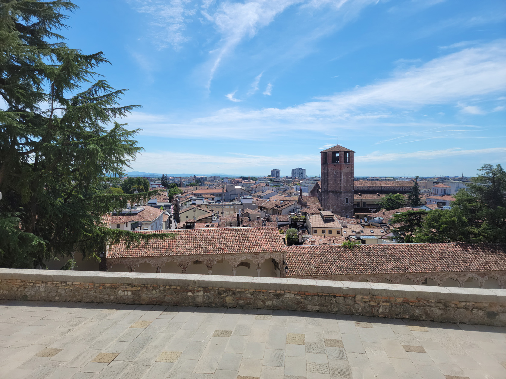
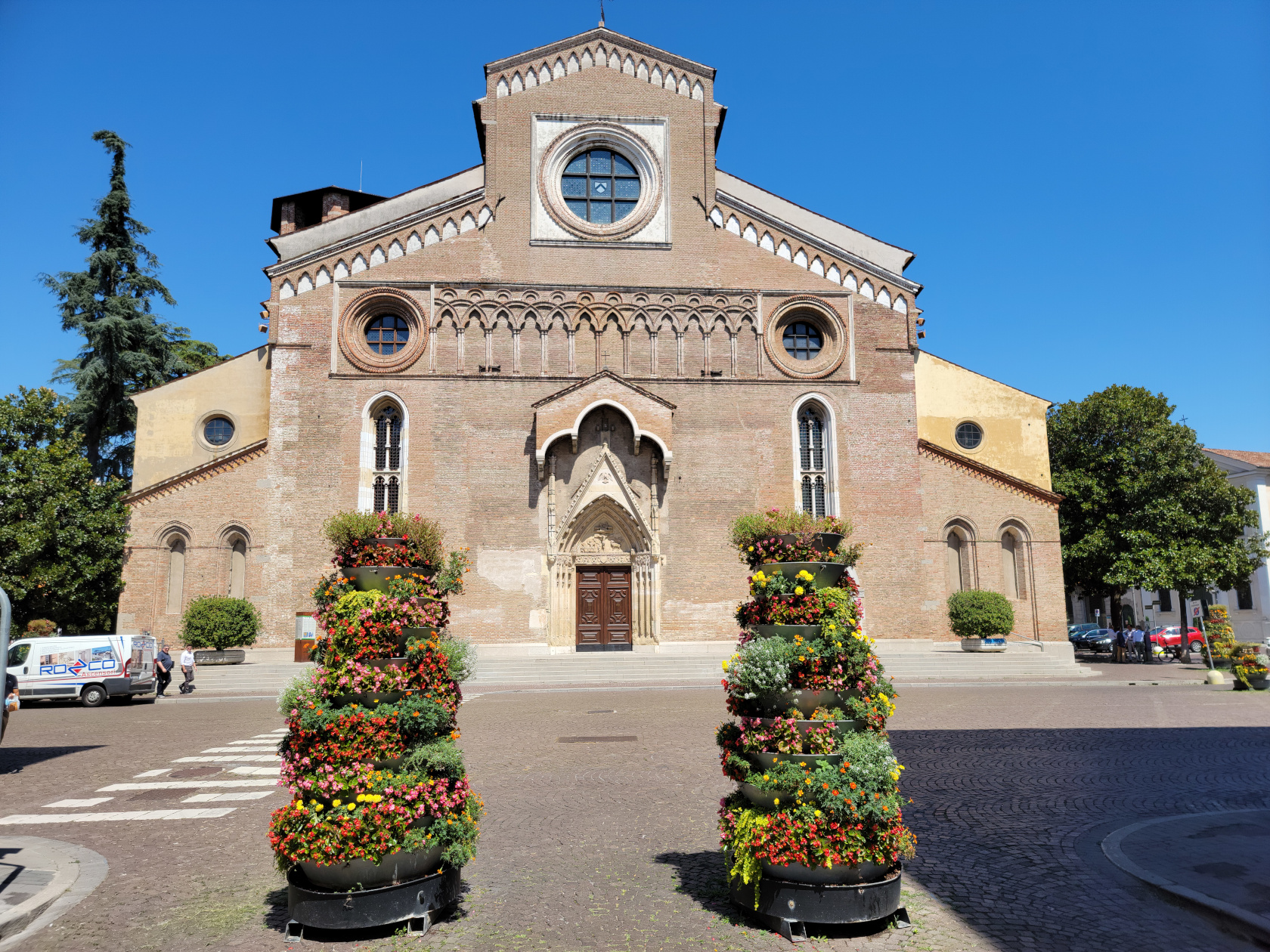
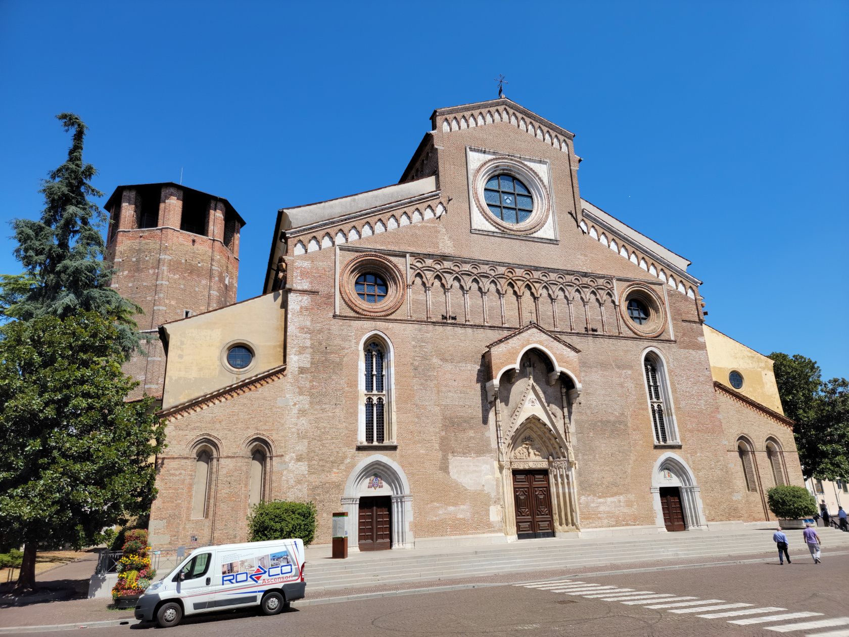
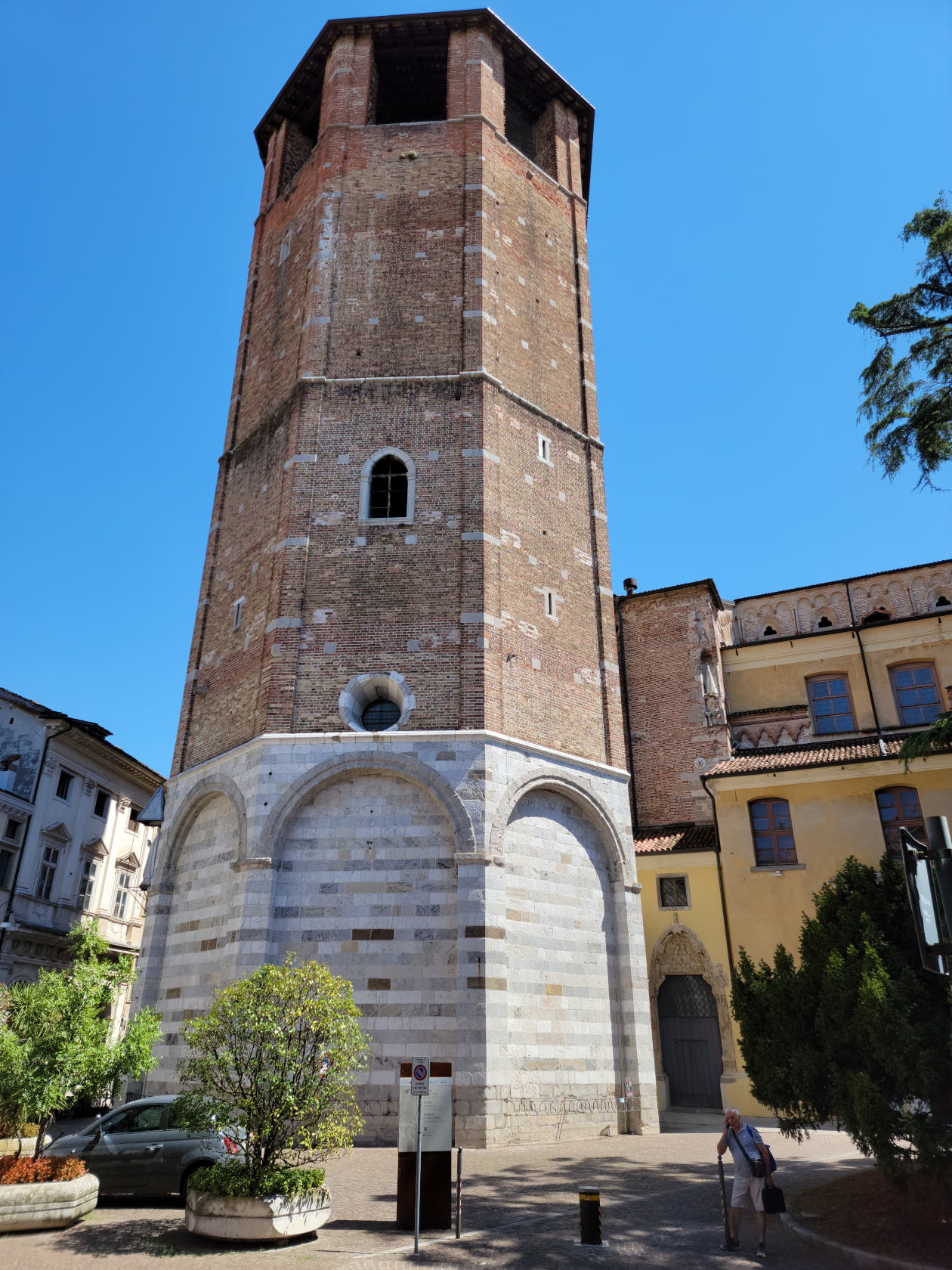
Cathedral Santa Maria Annuziata
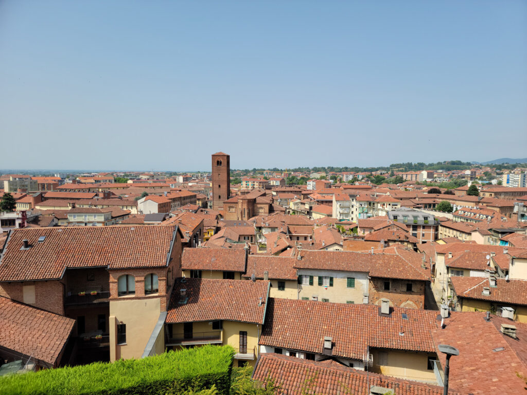
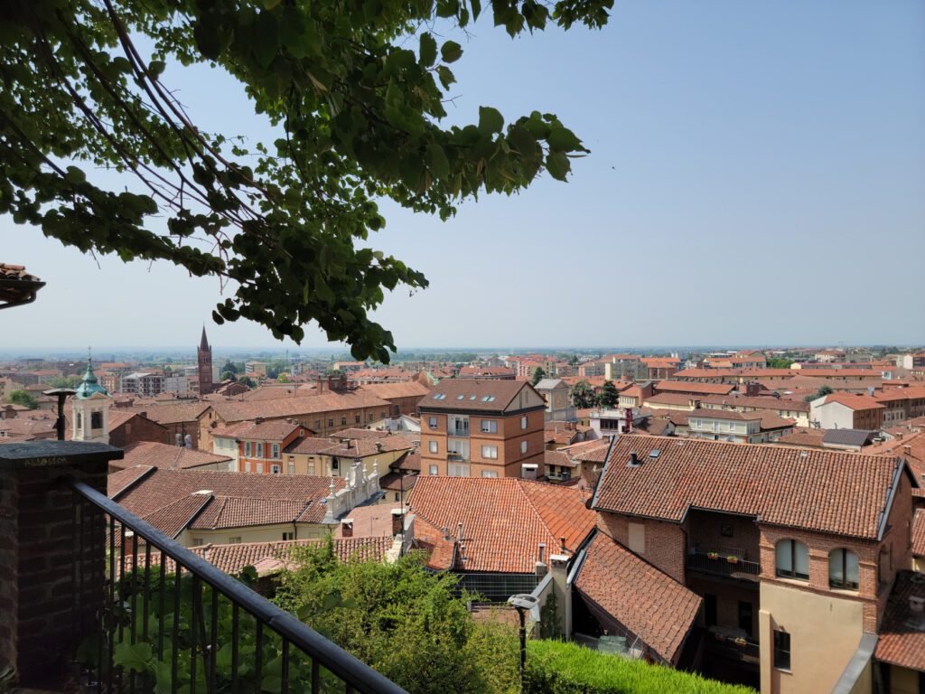
The Cathedral of Santa Maria Annuziata is known for its octagonal bell tower. It can be seen from the castle hill, along with the church which is a major landmark in the city. Formerly consecrated as the Cathedral of Santa Maria Maggiore in 1335, it has three naves and chapels along the sides. Since it was not open at the time, we were only able to get some photographs of the outside.
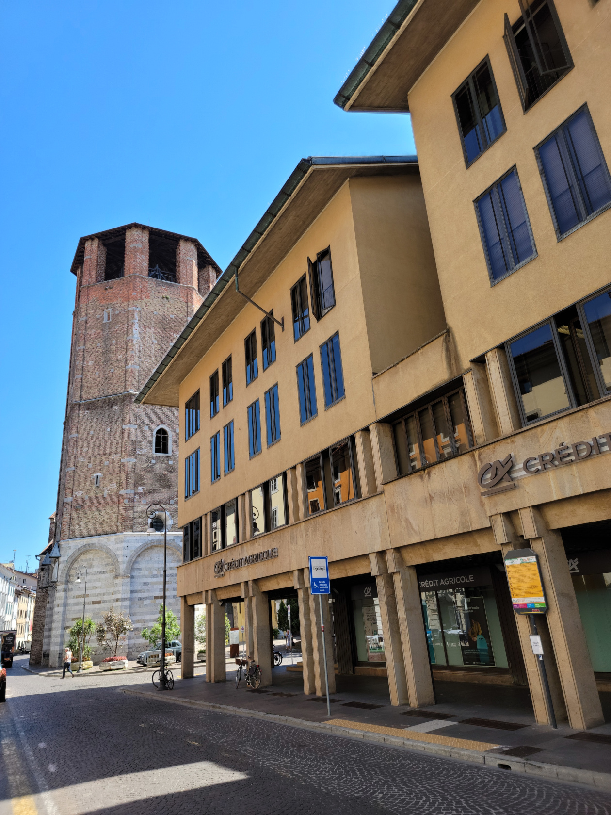
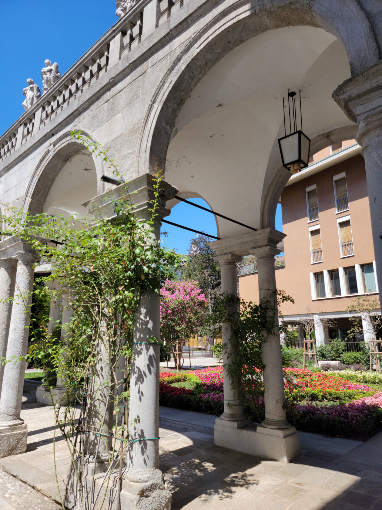
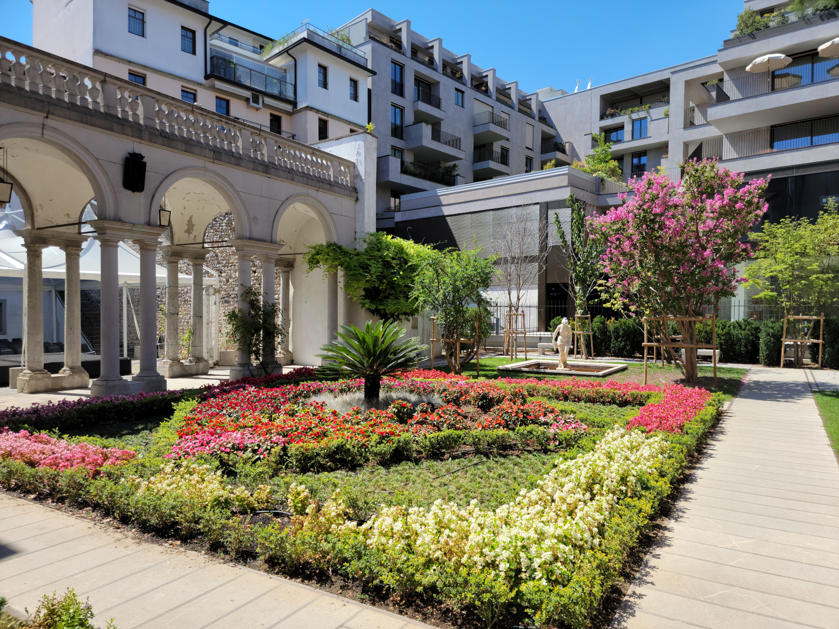
The Corte di Palazzo Morpurgo is also close by the front of the cathedral, so just wandering across the street from the front of the church should bring you there.
Hotels
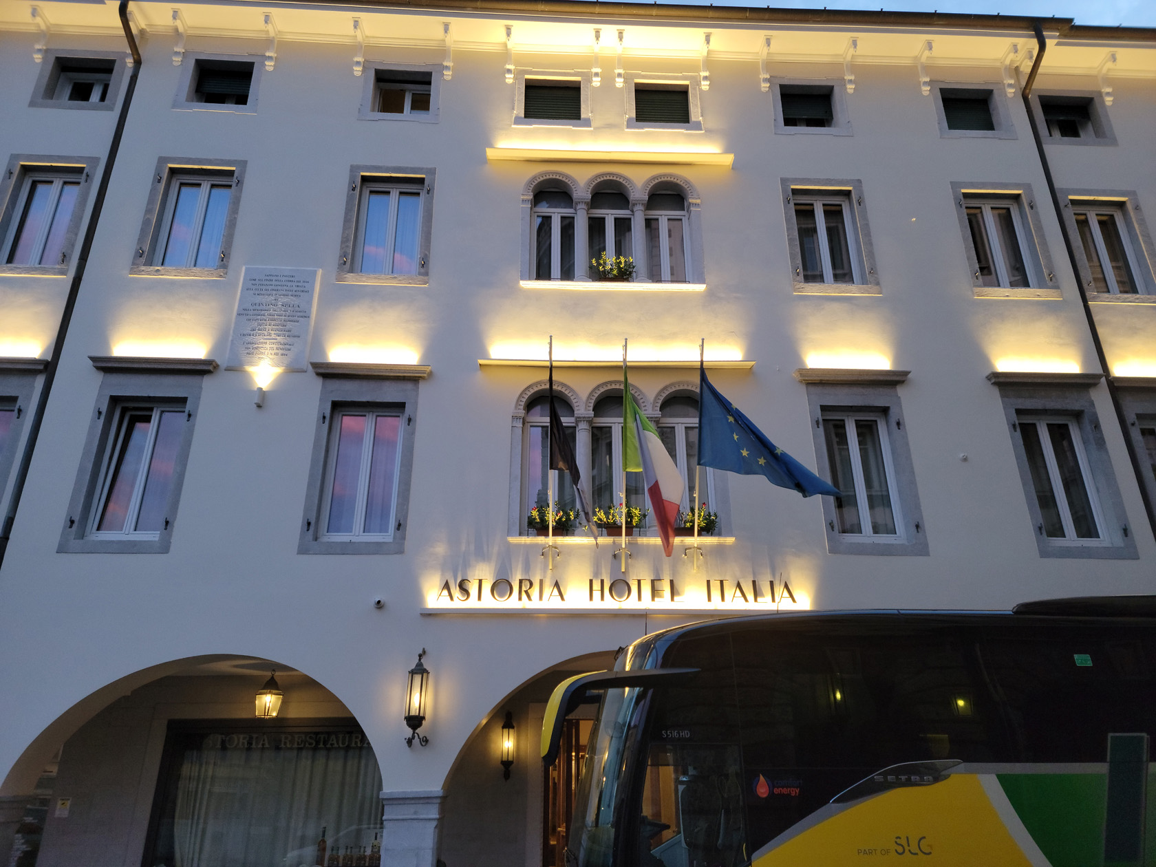
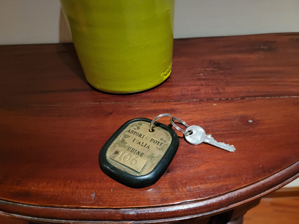
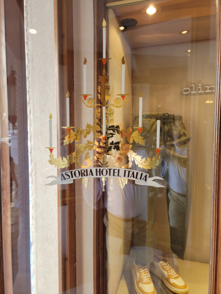
We chose the Astoria Hotel Italia for its old world charm, eschewing some of the more contemporary offers that were available. When we travel, it’s one of those things that can set off one place from another.
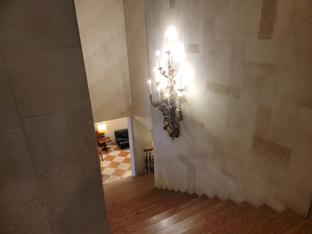
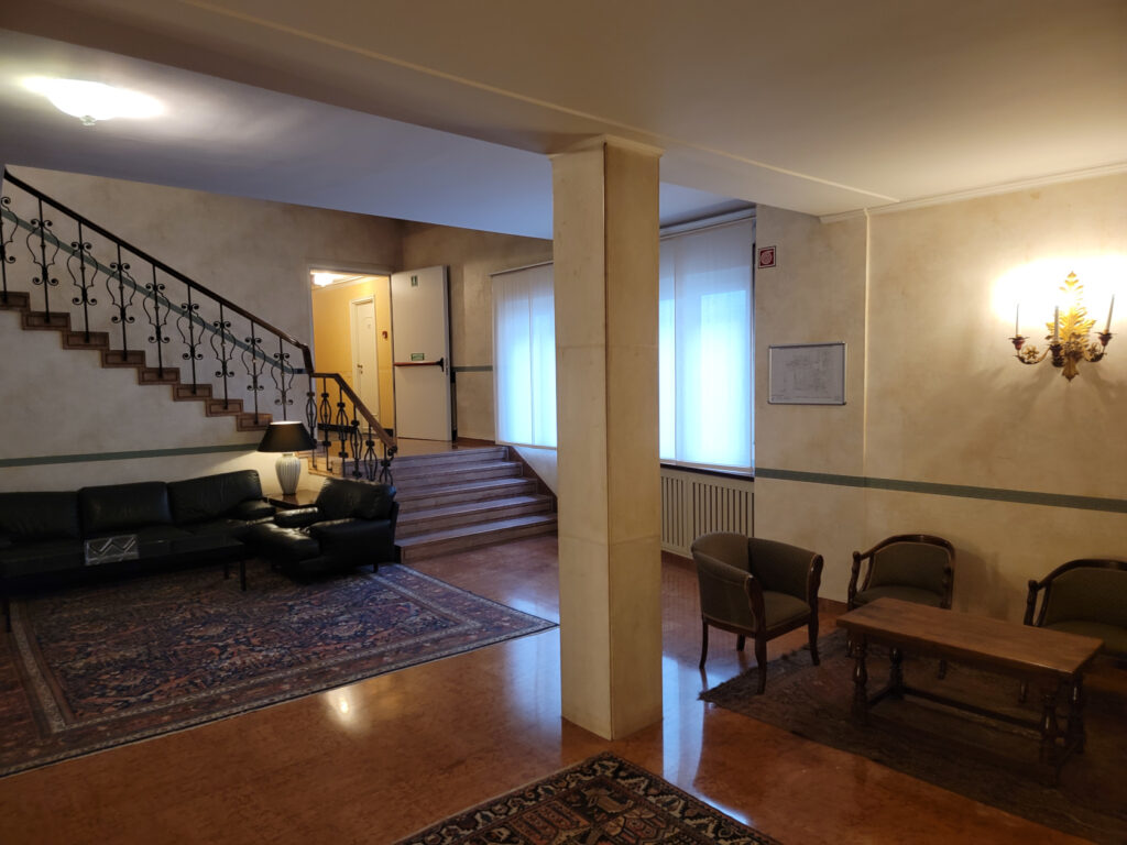
The Astoria Hotel Italia
The hotel Astoria Italia has maintained itself as though it fits into the landscape. It sports new amenities, like contemporary and renovated bathrooms (a must), while keeping some of that old world charm. I disagree with putting contemporary style beds in such old rooms, which they clearly want to preserve, but I am probably in the minority (I rather prefer, if its old keep old, like it came out of the nineteenth century, then you get that step-back-in-time feel).
In any case, our hotel was great and provided a very central place from which to explore the rest of the old city.
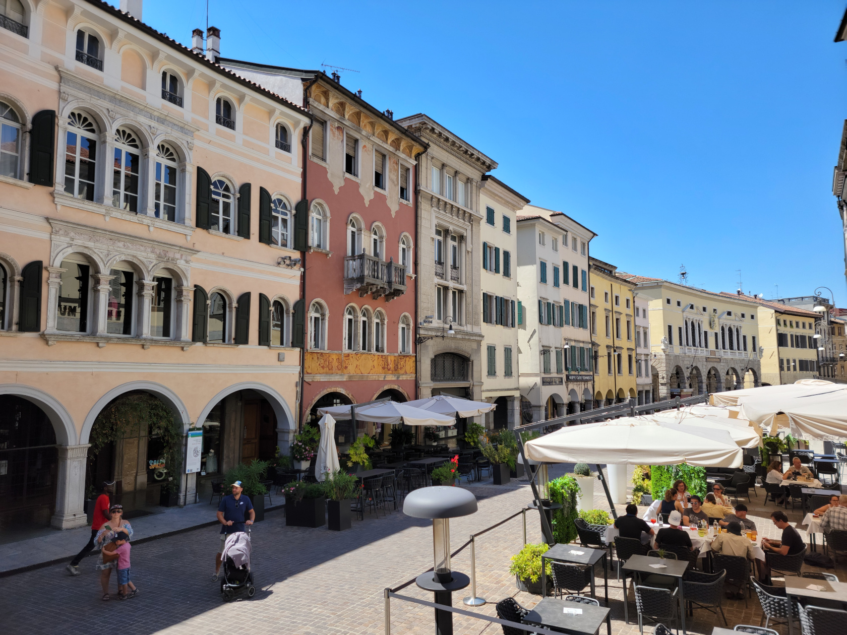
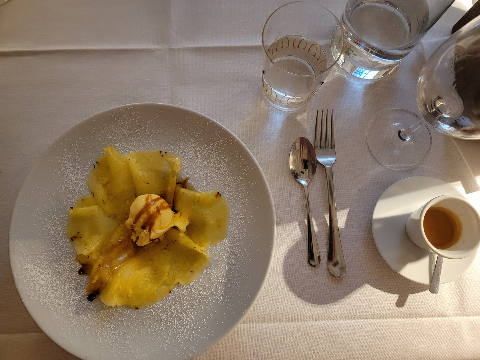
Restaurants
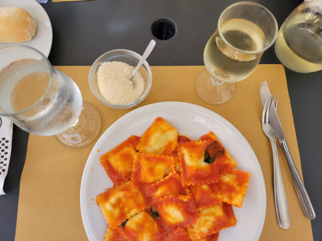
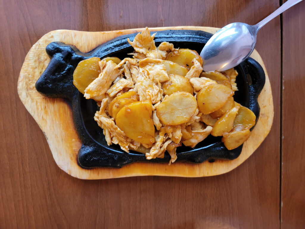
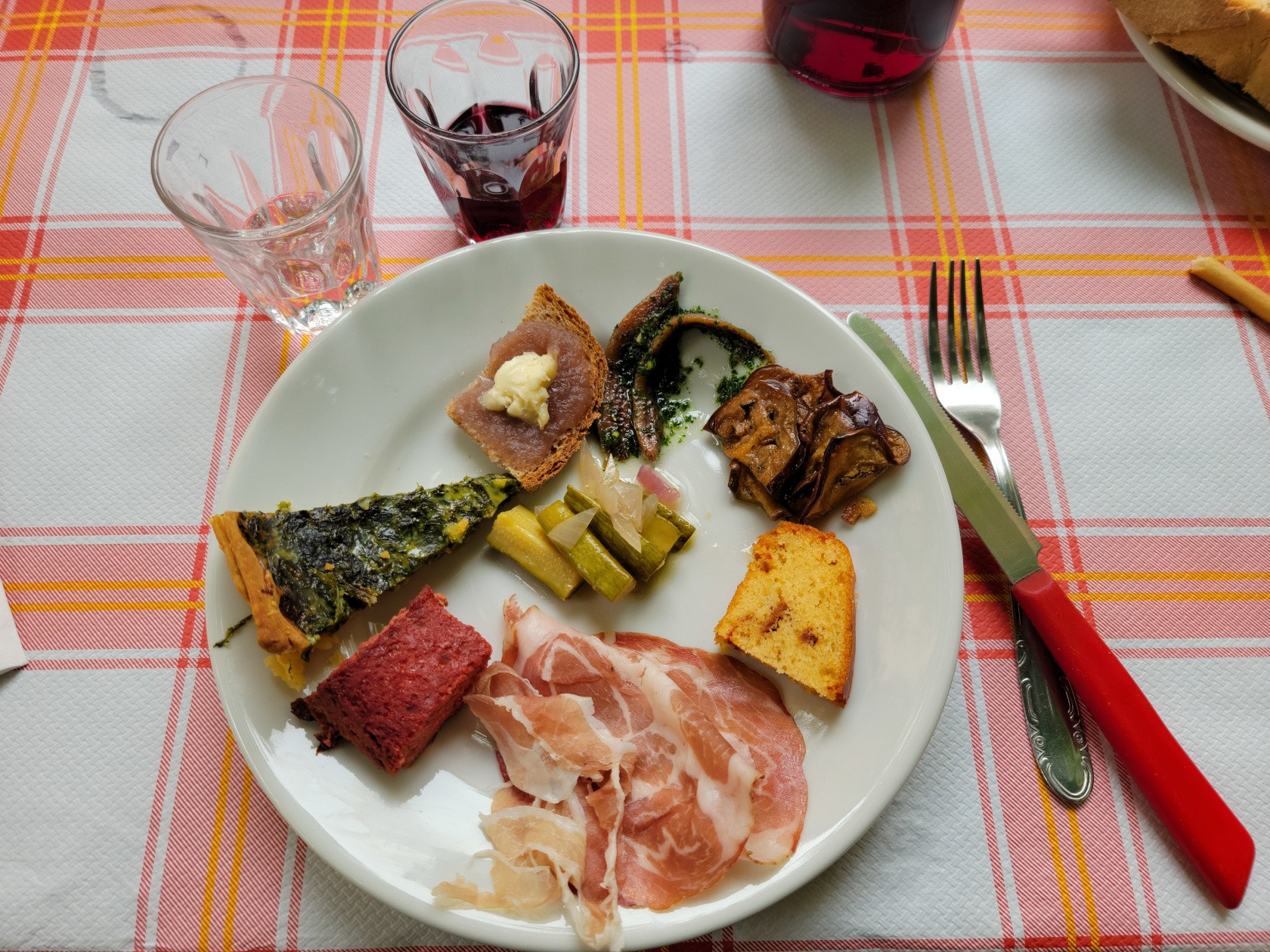
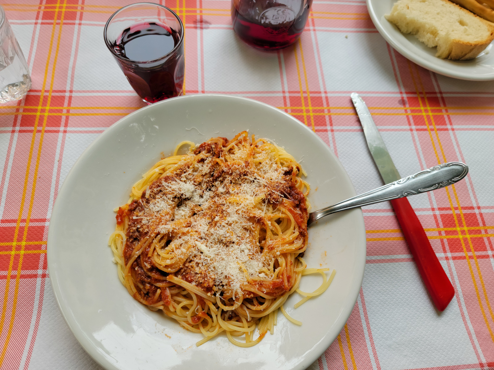
The restaurants in Udine serve typical northern Italian fare, with some twists for Tyrolean and other close neighbors. It is a fairly cosmopolitan city and one can find Sushi and other worldly franchise food here, so selecting a place to eat should not be an issue.
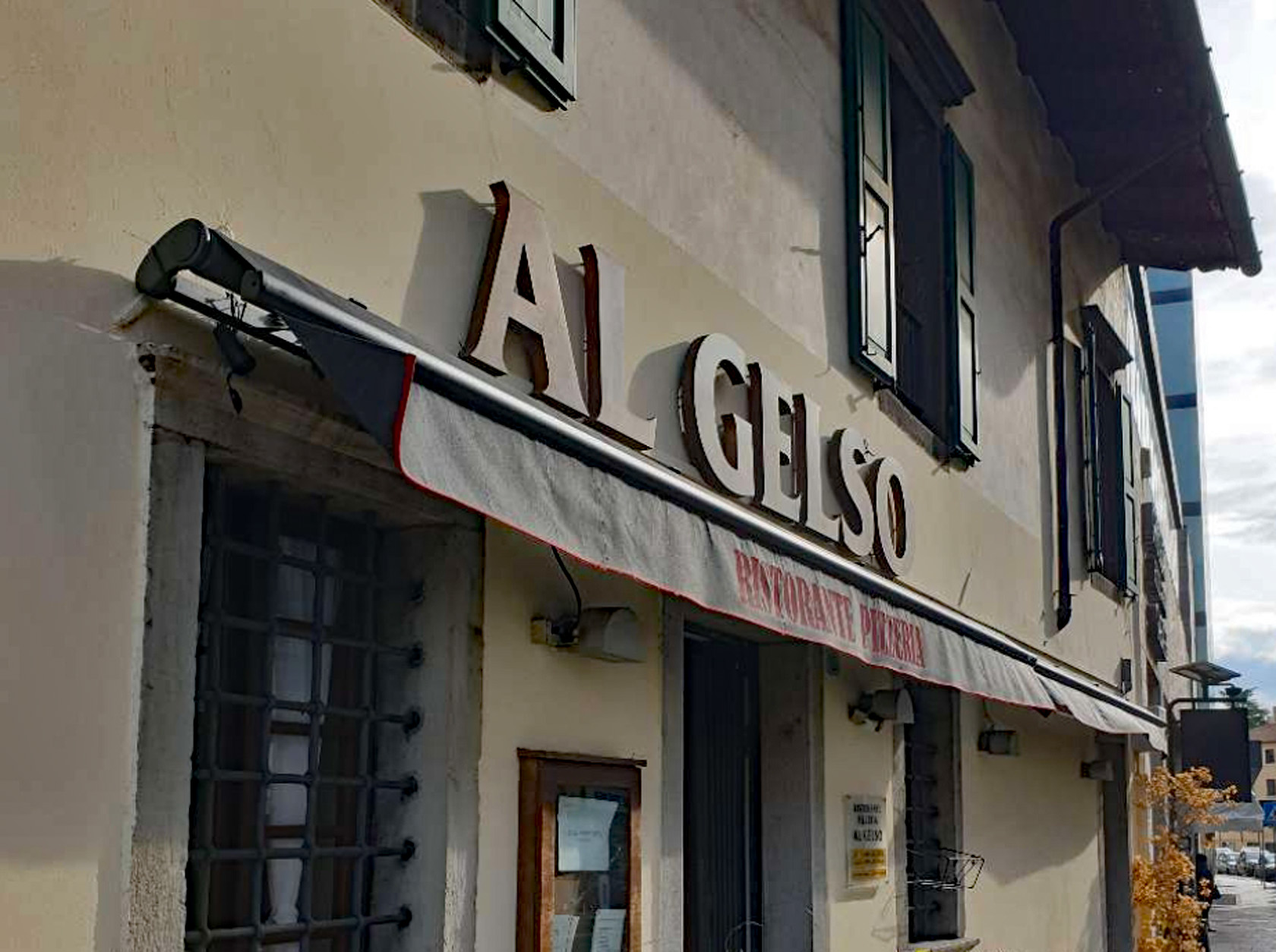
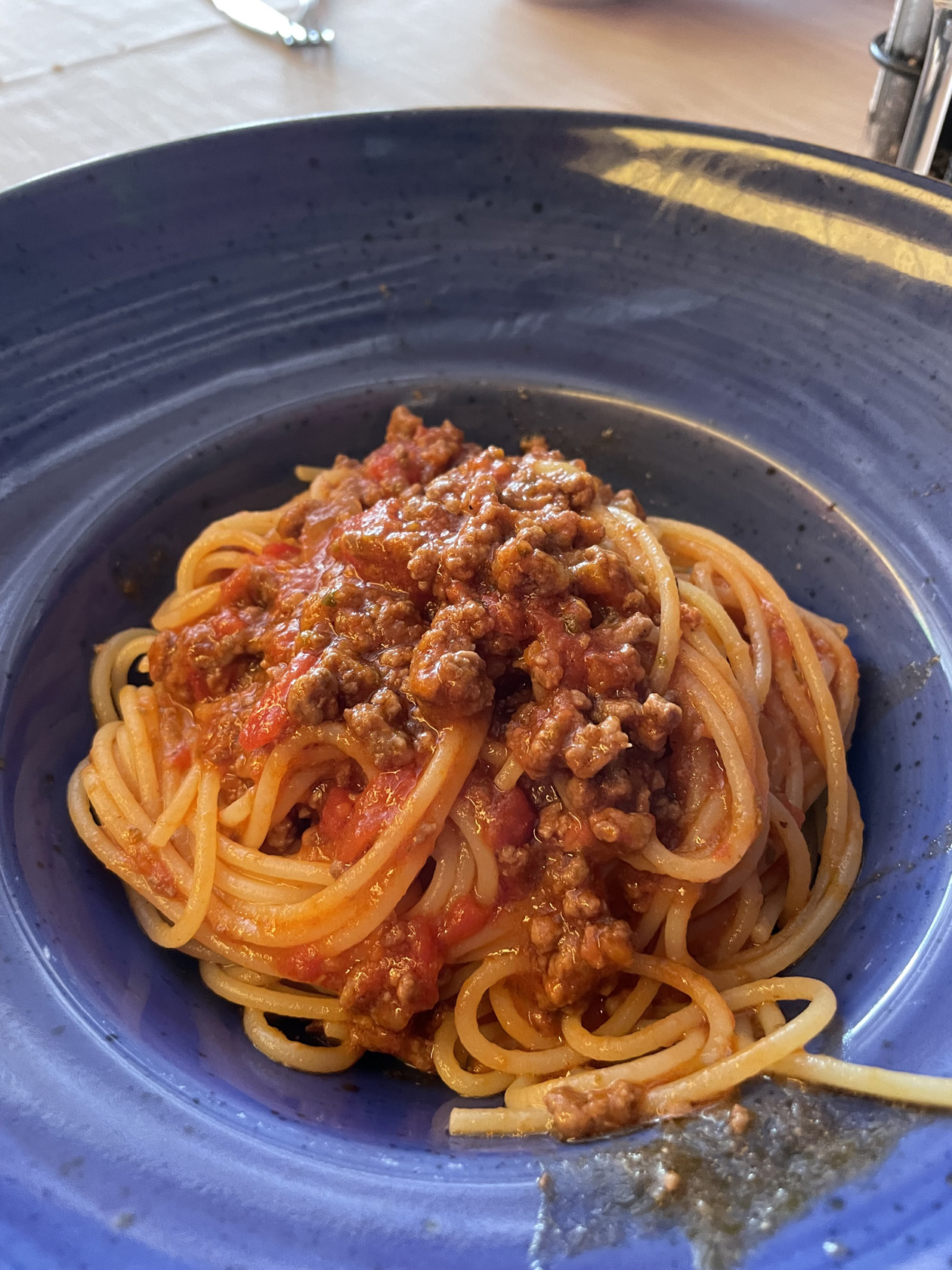
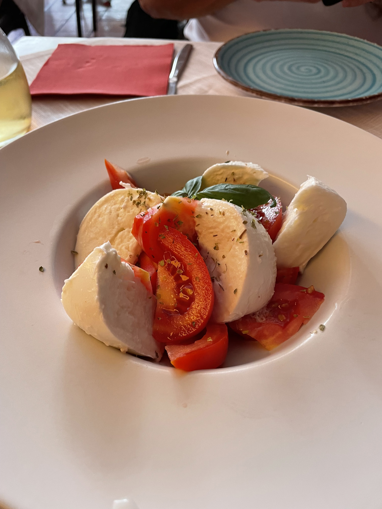
Ristorante Pizzeria Al Gelso
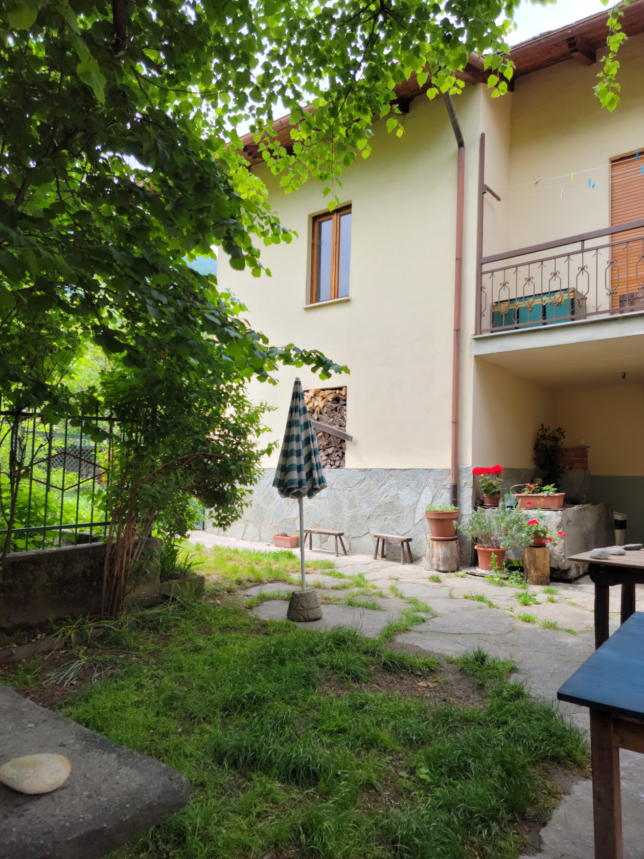
This restaurant was right around the corner from our hotel, in fact, it is actually adjacent to it (without us knowing). We walked around the corner anyways and entered it from the garden seating direction each time, even though there was a main entrance on the main street. The food is excellent, all with that home-cooked taste, and there’s pizza for those who are unsure what they want, everyone likes pizza!
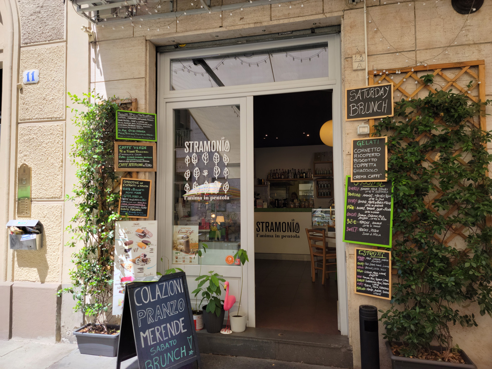
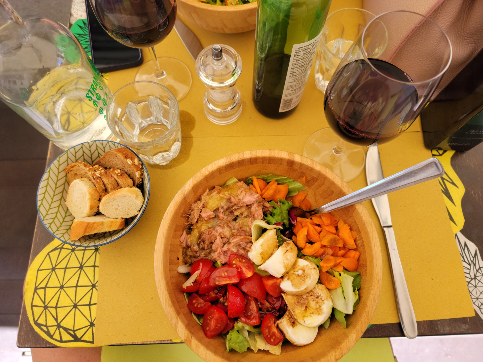
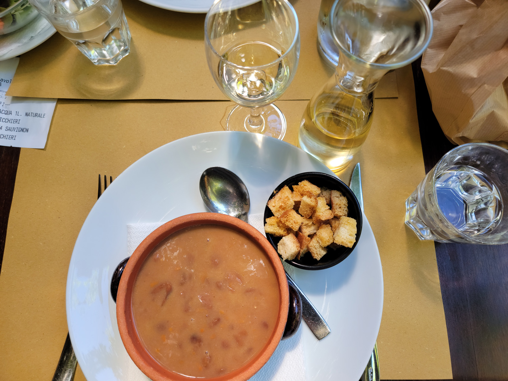
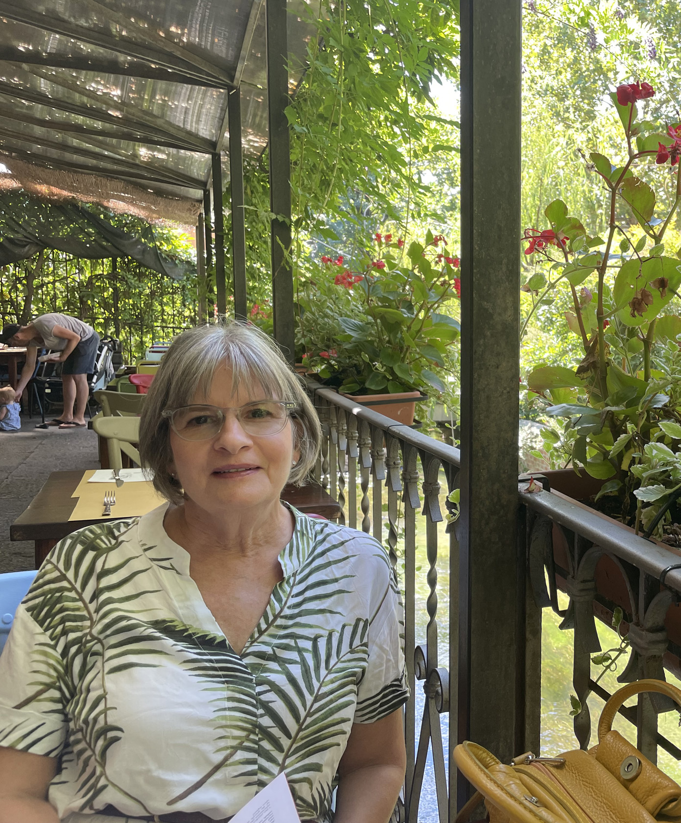
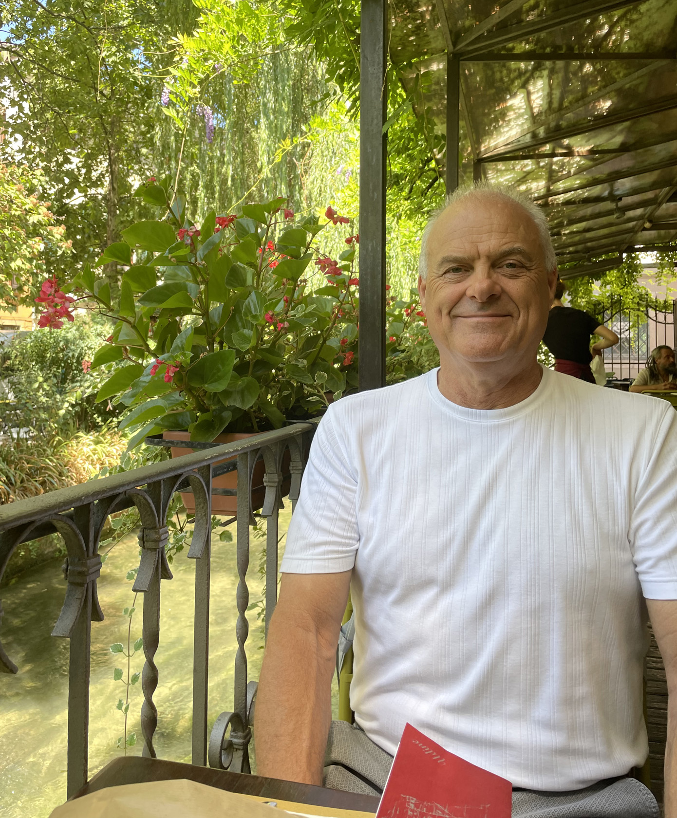
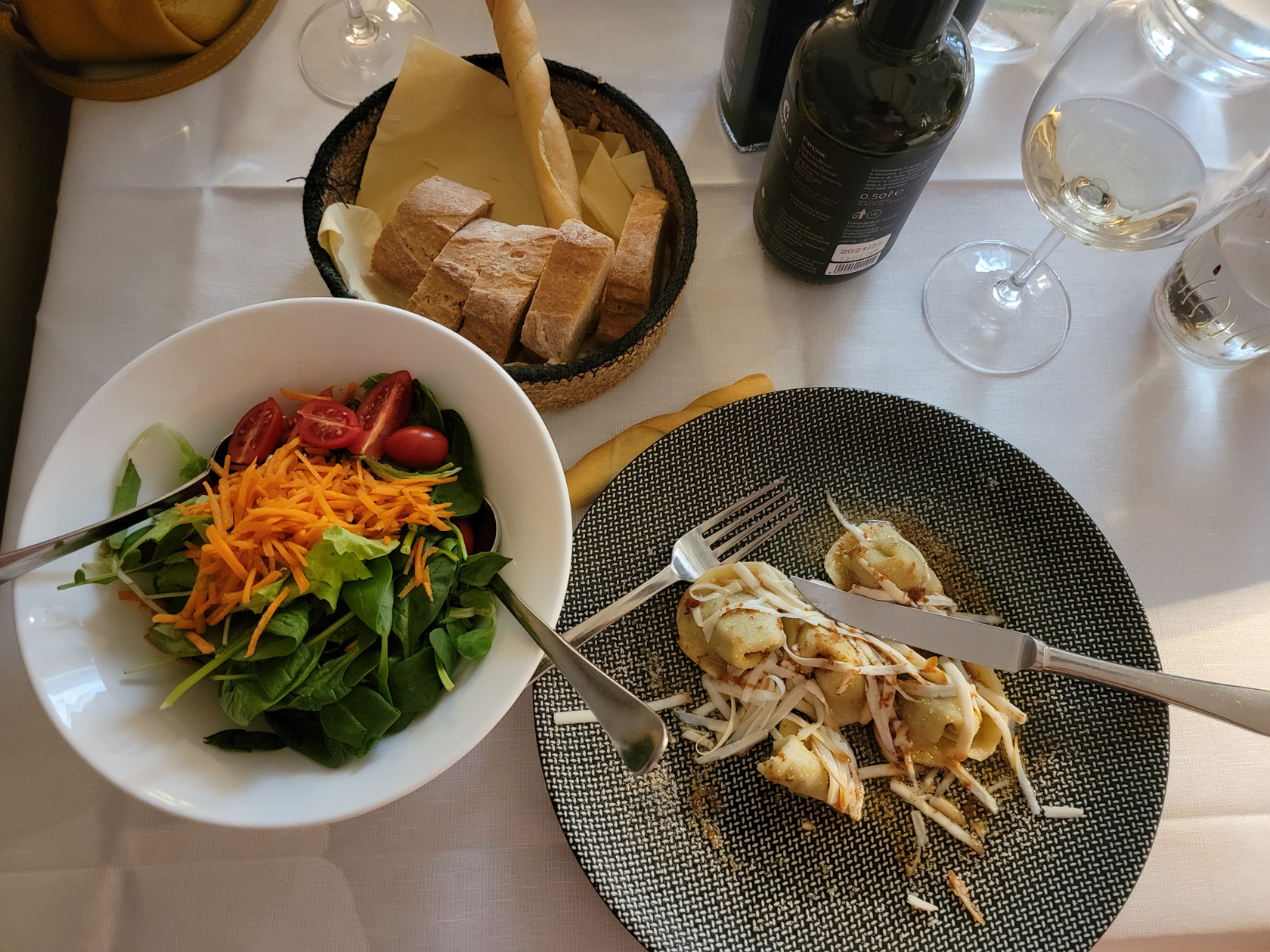
Osteria Alla Ghiacciaia
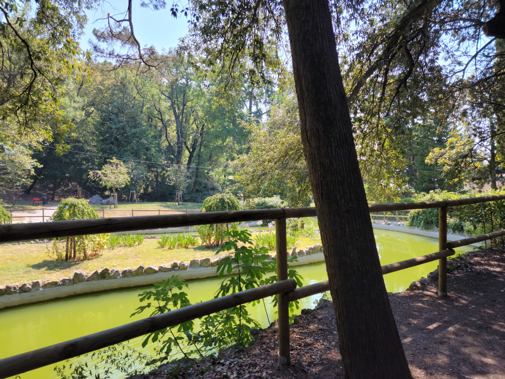
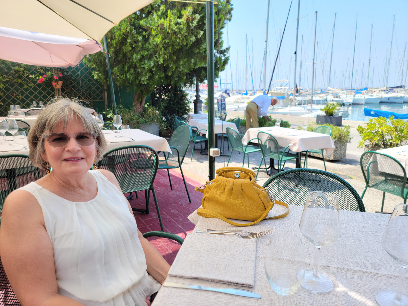
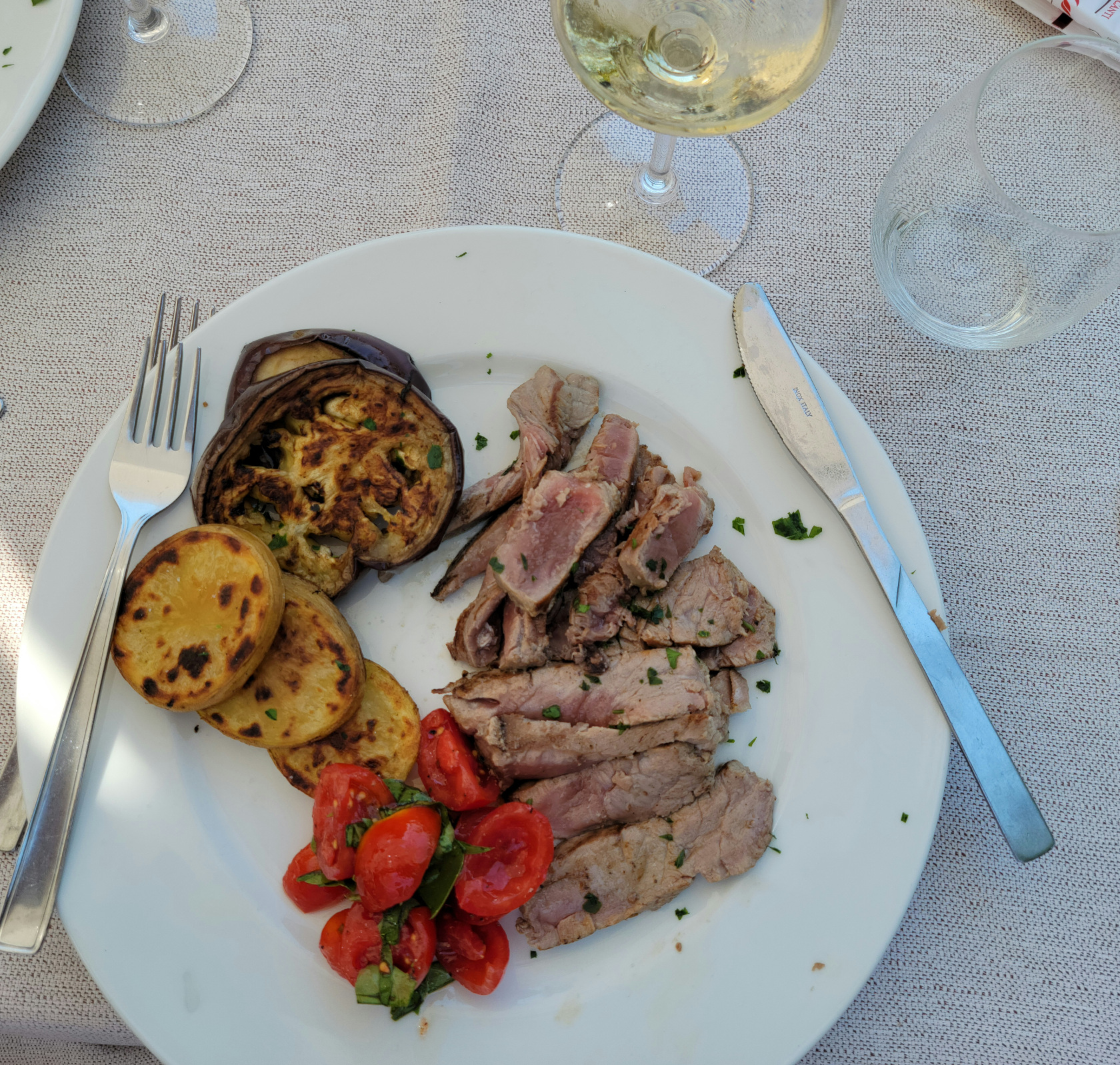
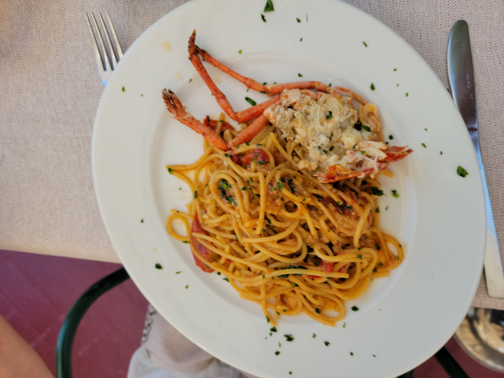
A lazy and very relaxing restaurant right next to the canal, a perfect place for lunch or dinner.
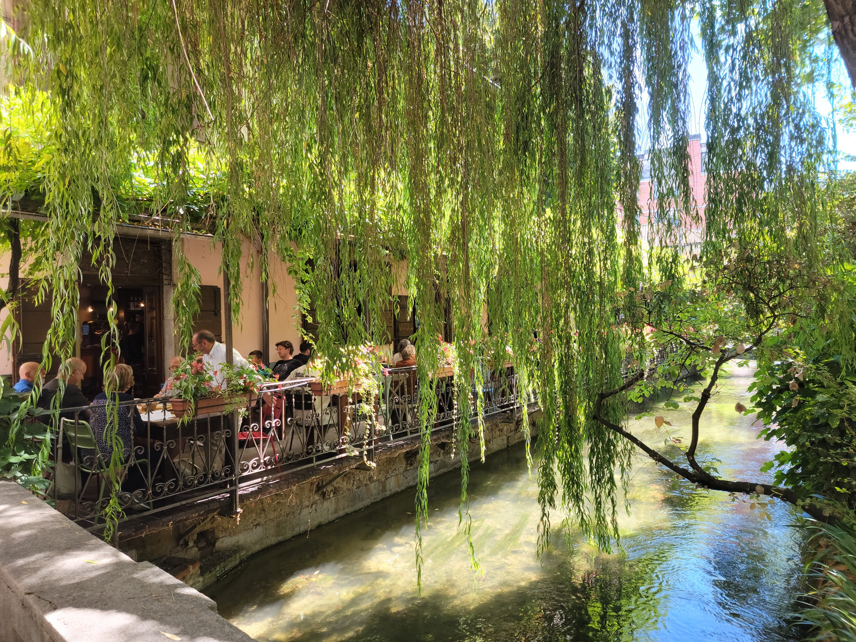
We really enjoyed our lunch here, watching the darning-needles, or dragon-flies, flit back and forth over the stream. Although this restaurant becomes very busy for lunch, the service was especially good and punctual, so anyone having problems waiting (which is most common in Italy), it might be a place to visit. The food is very good, fresh and delicately spiced. We kept it simple, bean soup for a started, followed by salads, just to keep things a bit light.
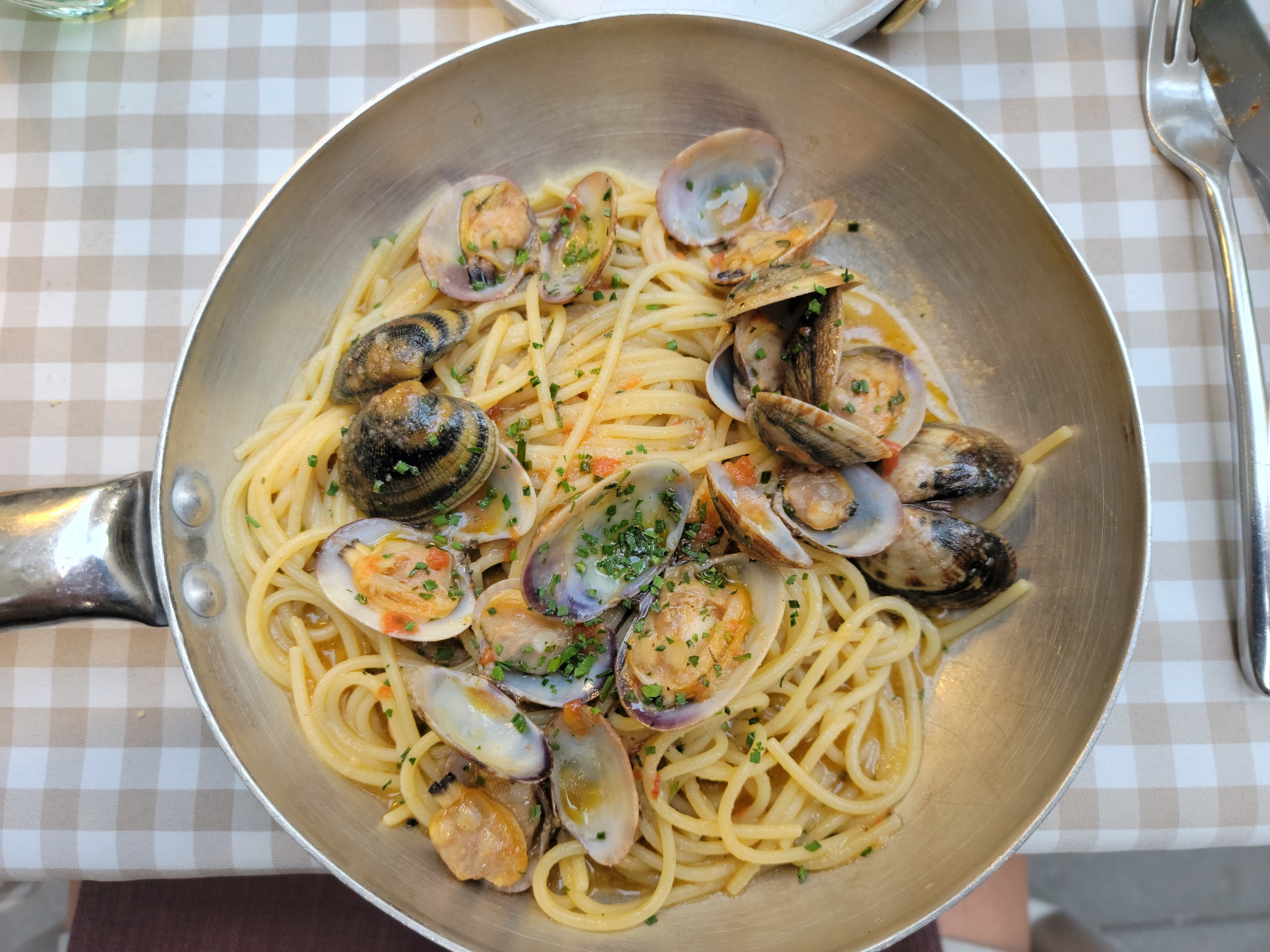
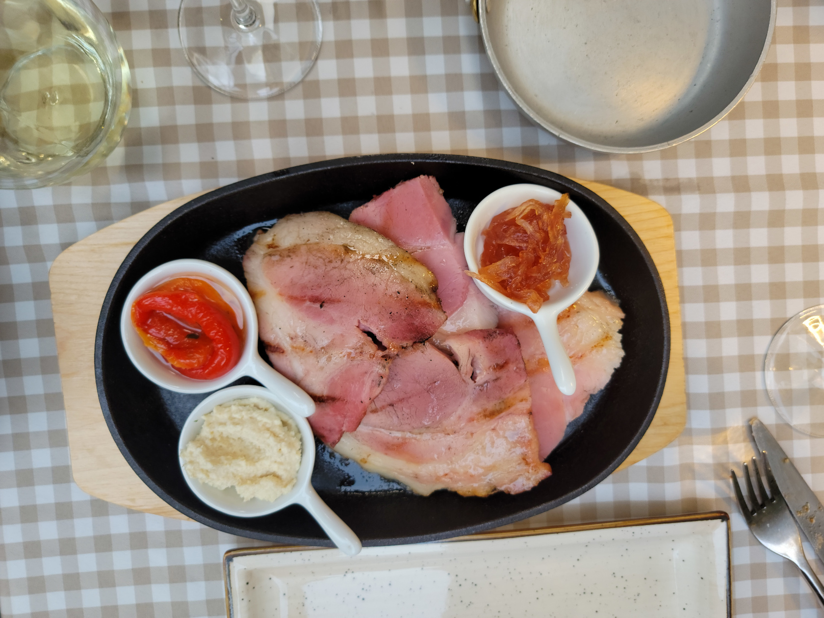
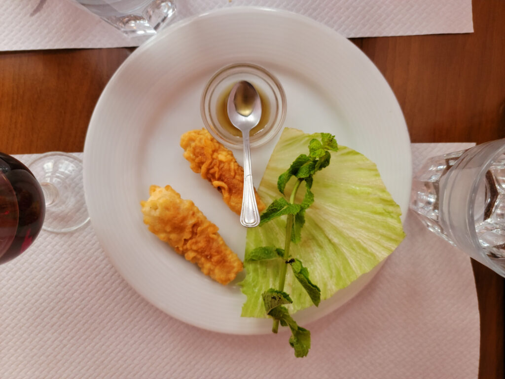
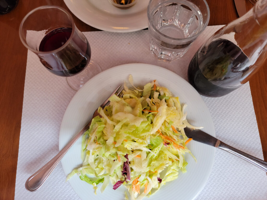
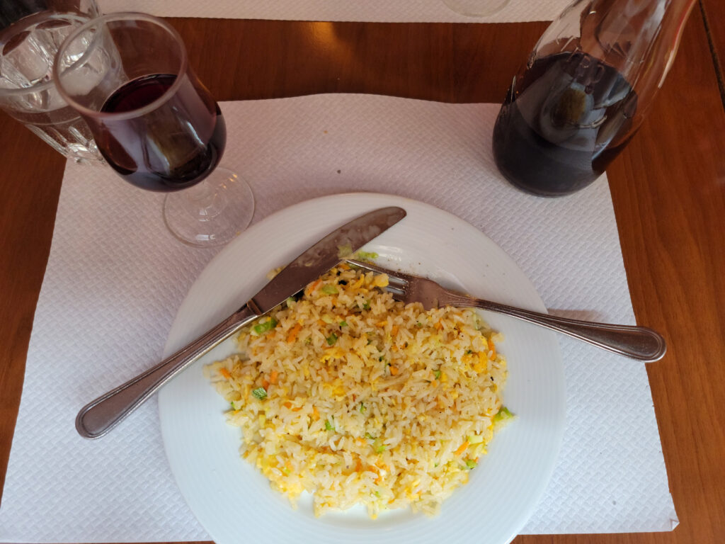
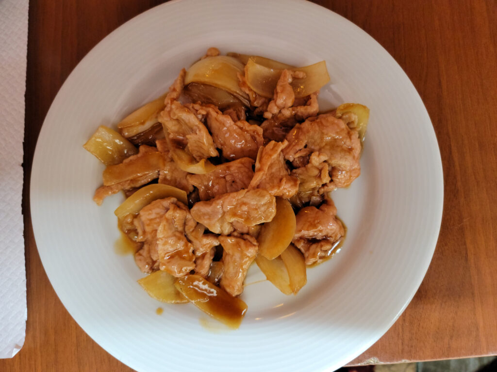
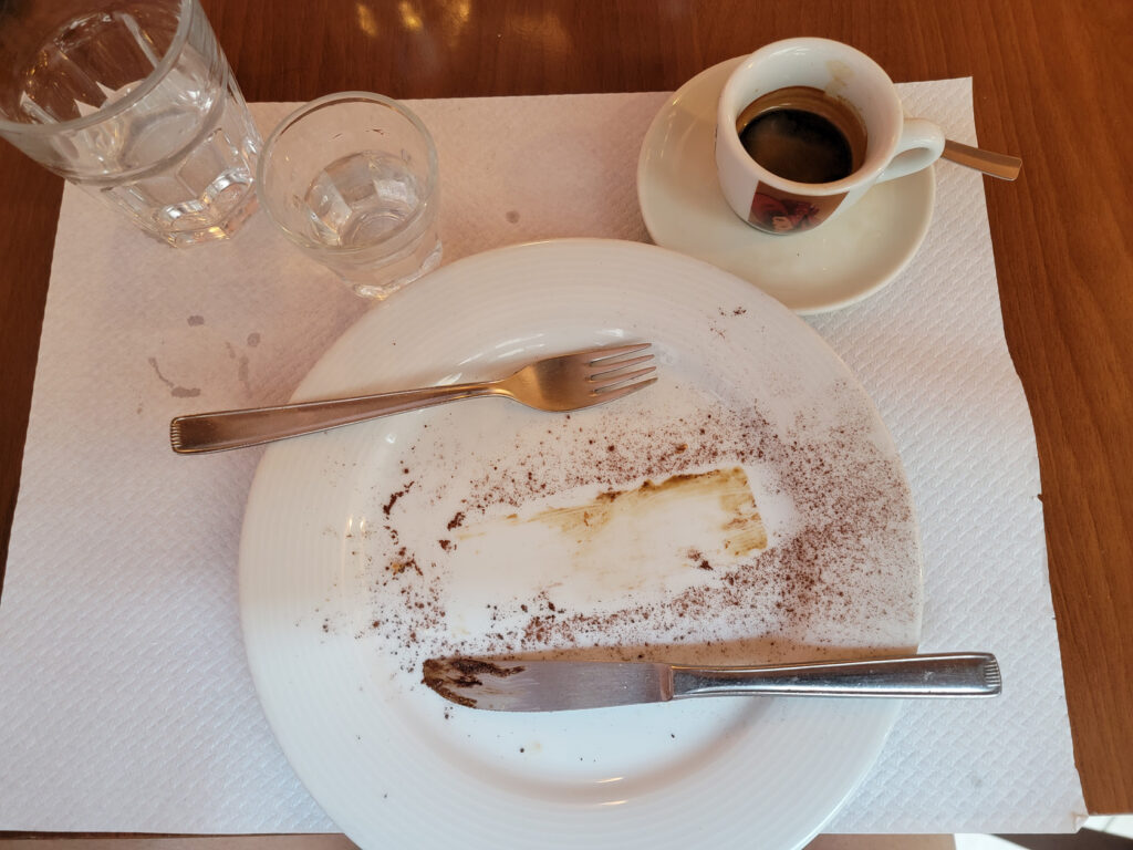
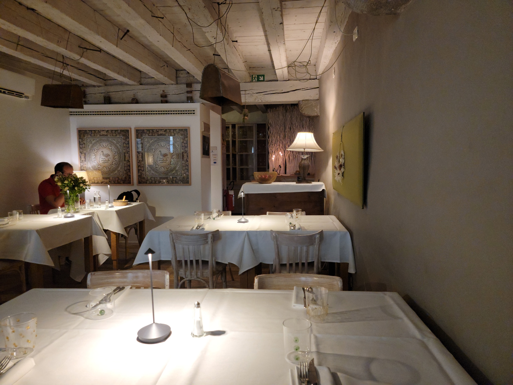
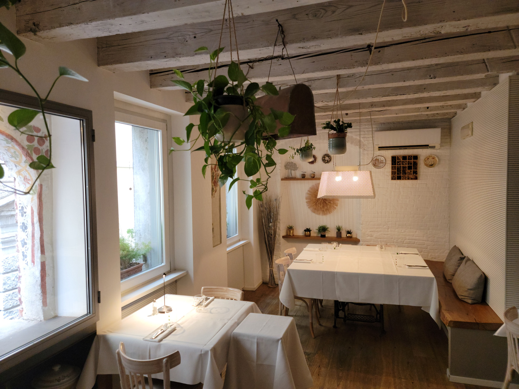
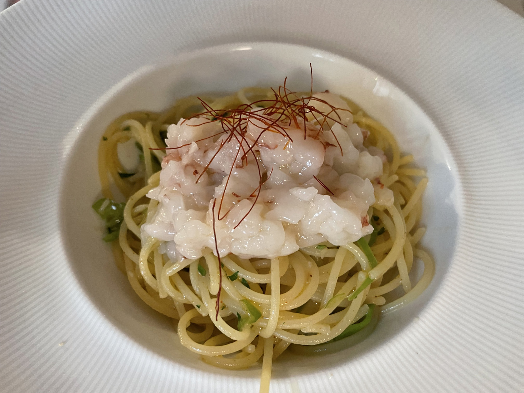
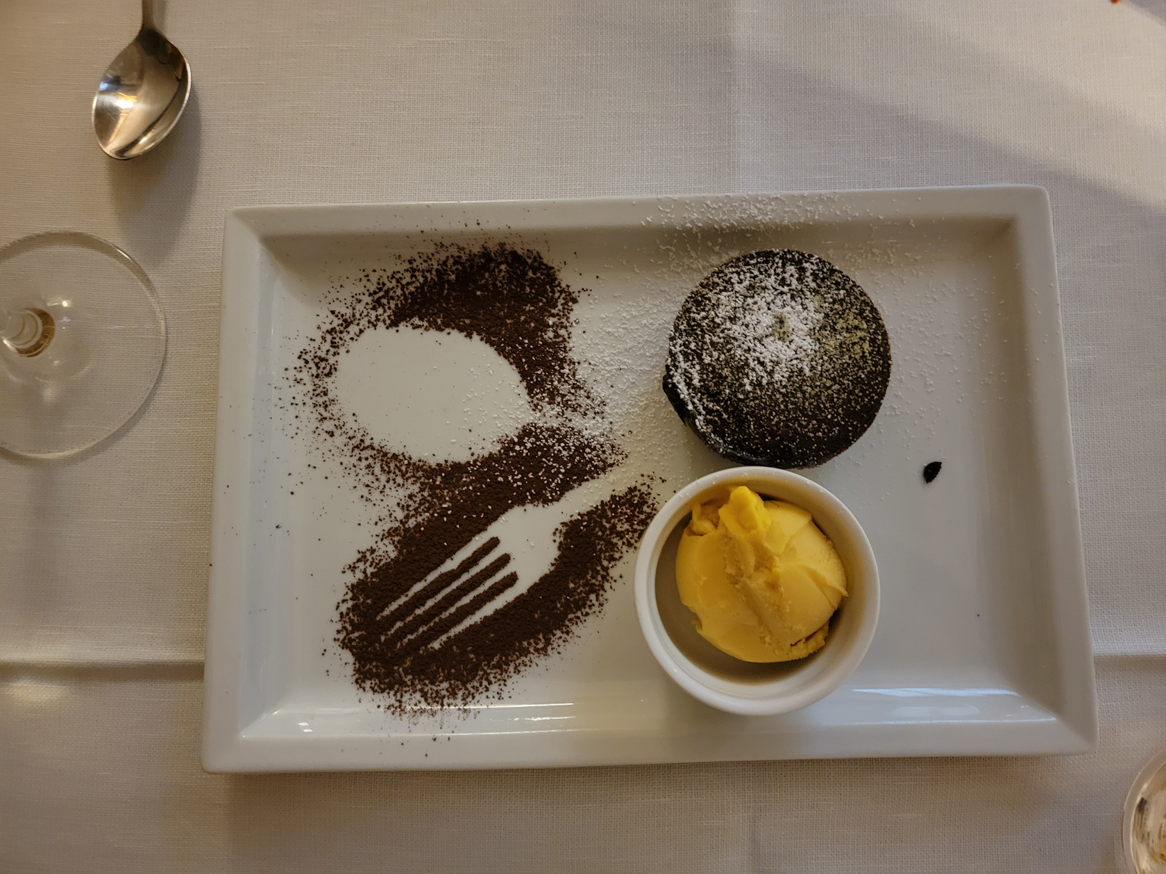
Trattoria Antica Maddalena
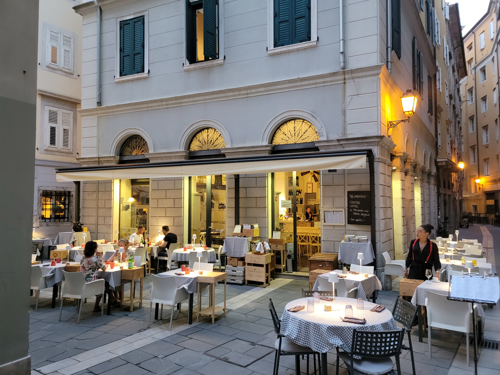
This trattoria has a bit of an upscale palette, with a menu and prices to match. As our last evening in Udine, we chose it for its high ratings and interesting looking menu. Unfortunately I forgot to take a photograph of the outside of the establishment, but have a few of the upstairs. You may want to book reservations if you want to sit outside, when we arrived the outside and downstairs seating were completely booked. So act early, if you want to enjoy this restaurant and its food with a street view!
Epilog
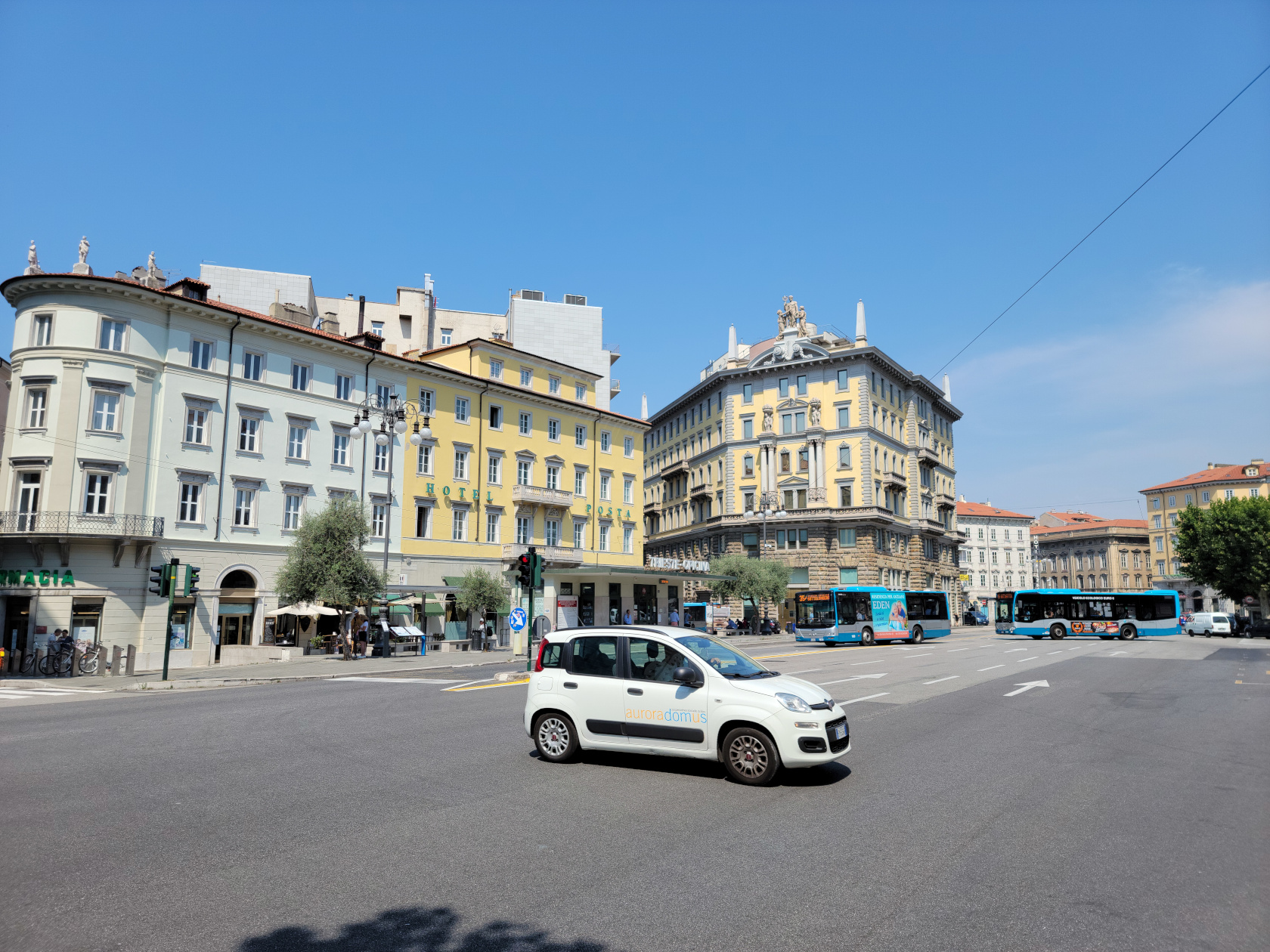
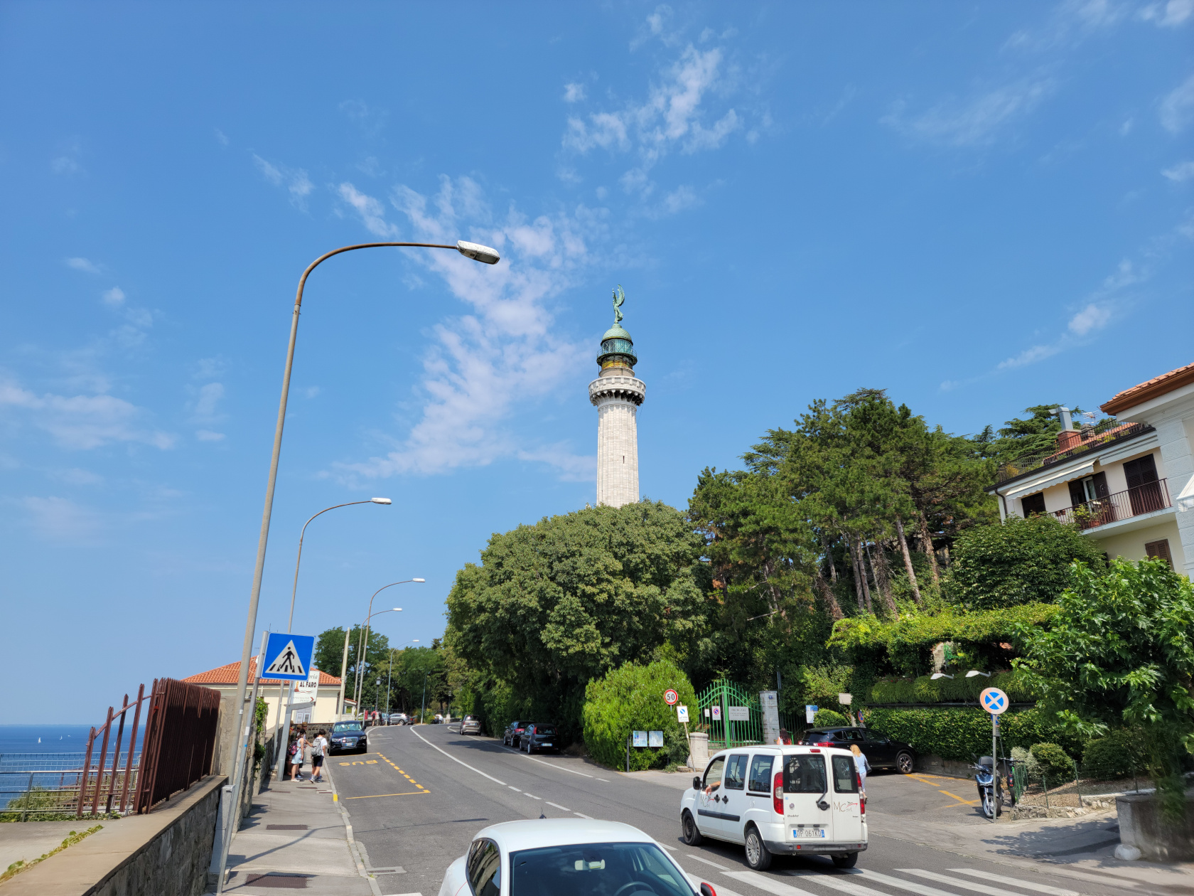
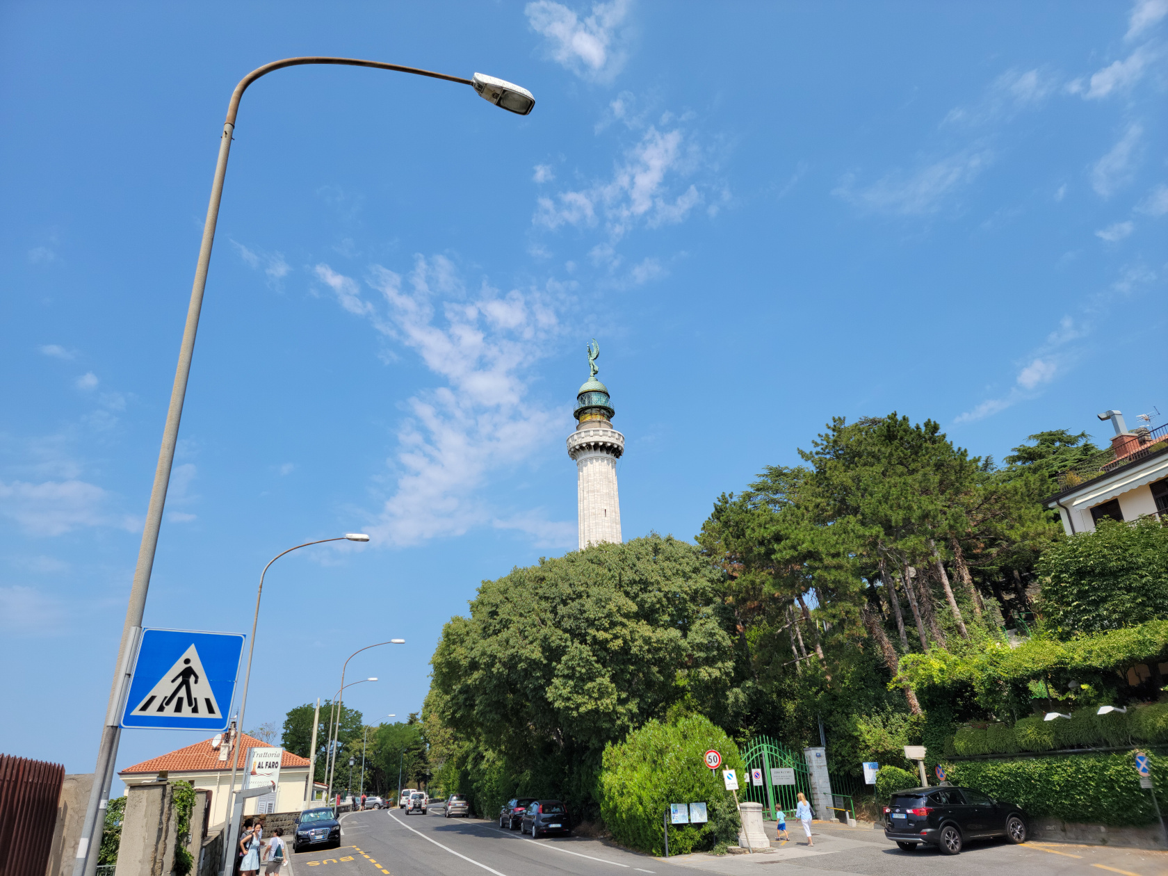
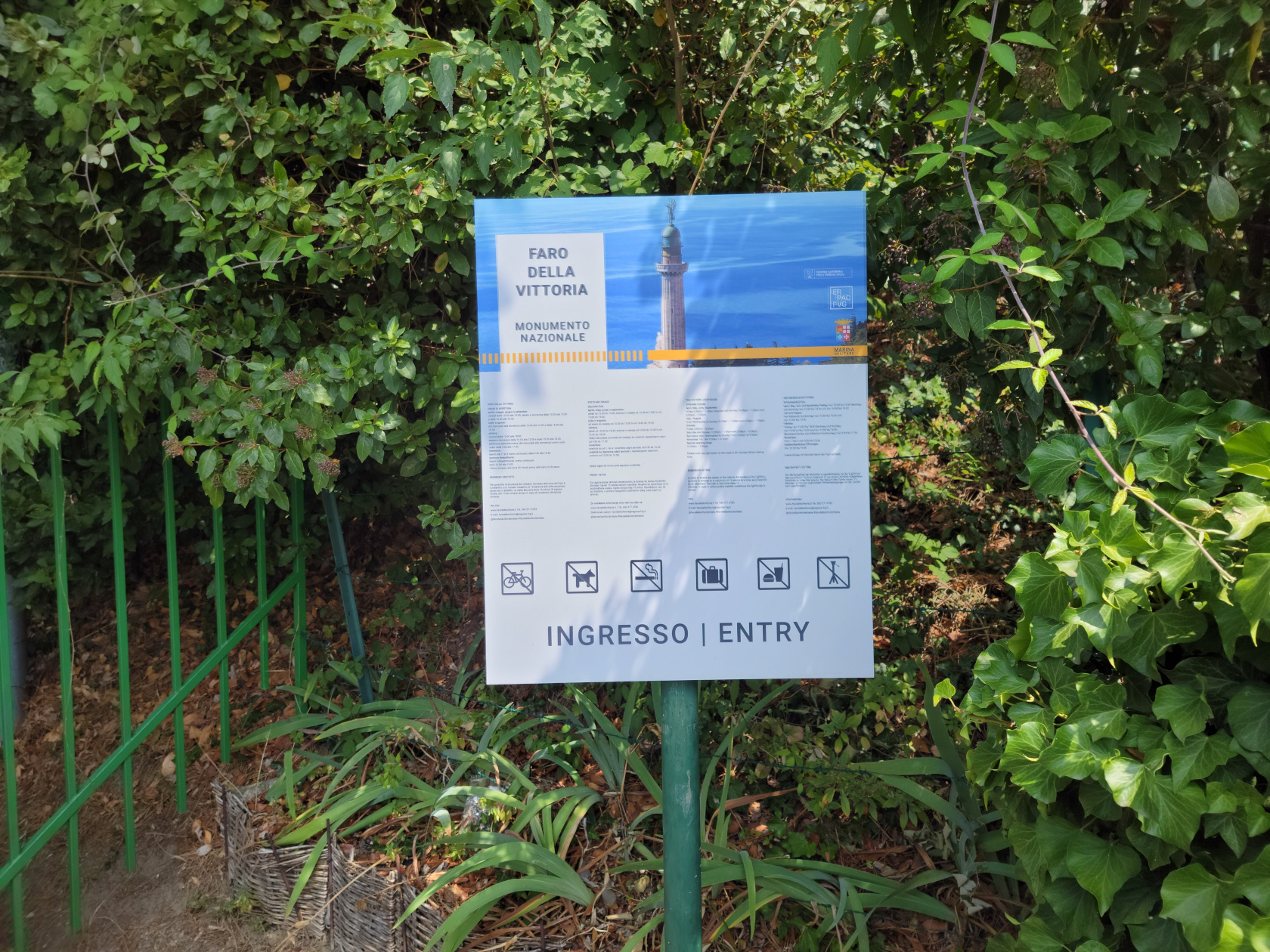
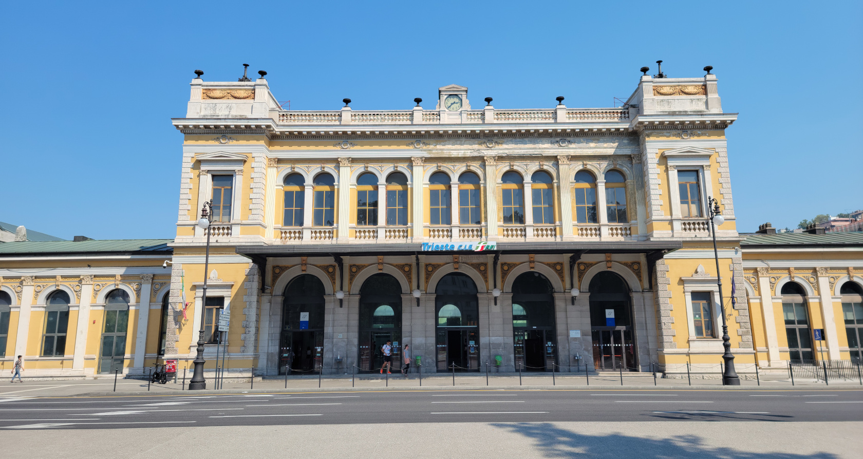
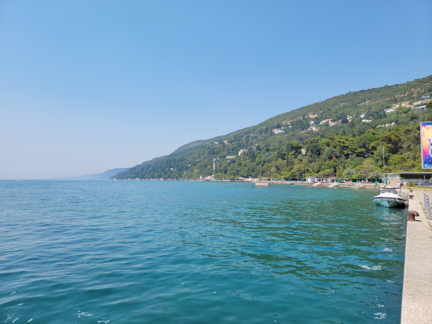
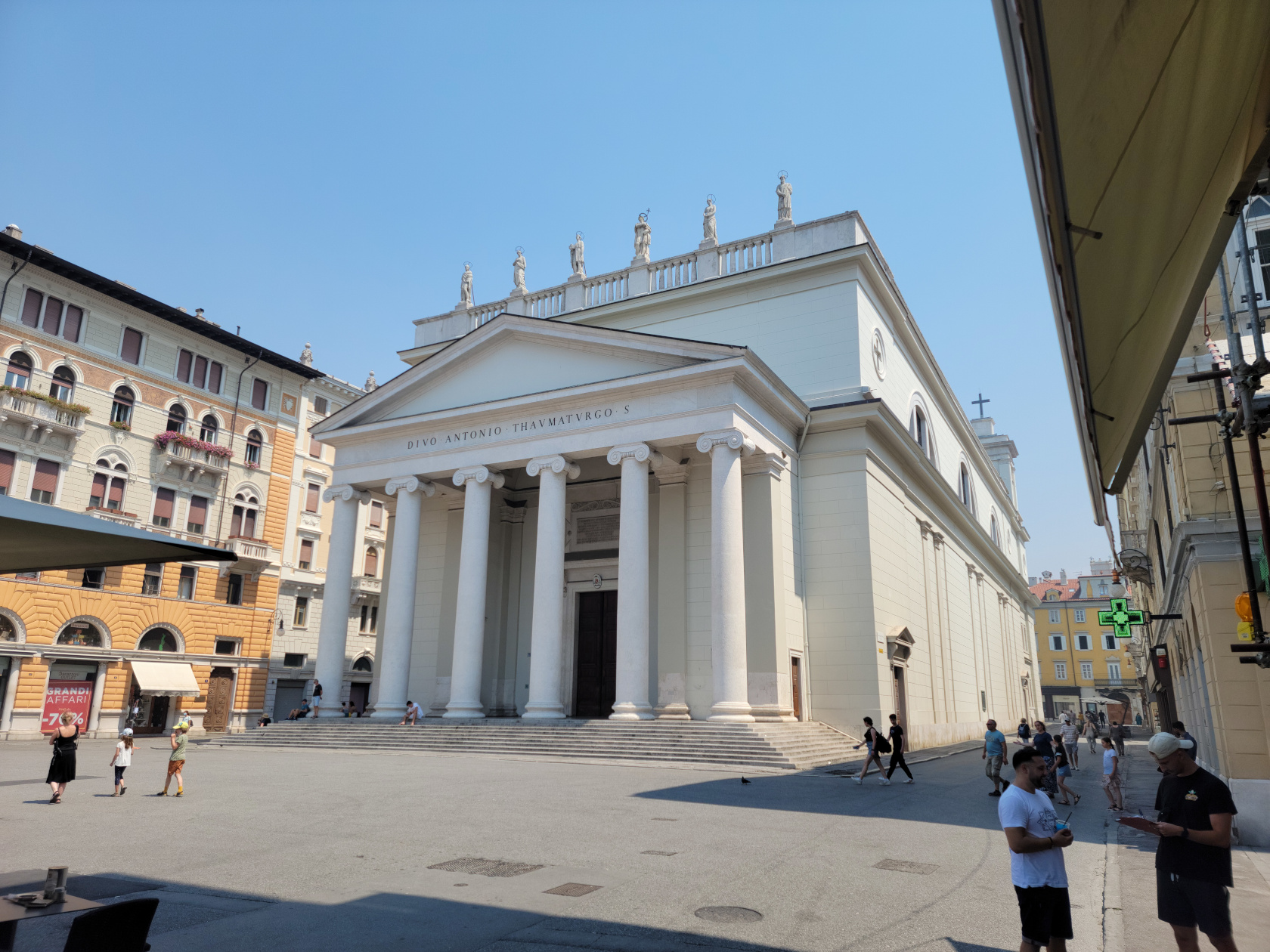
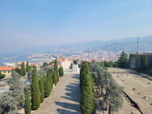
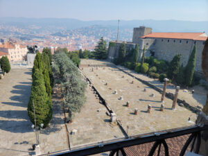
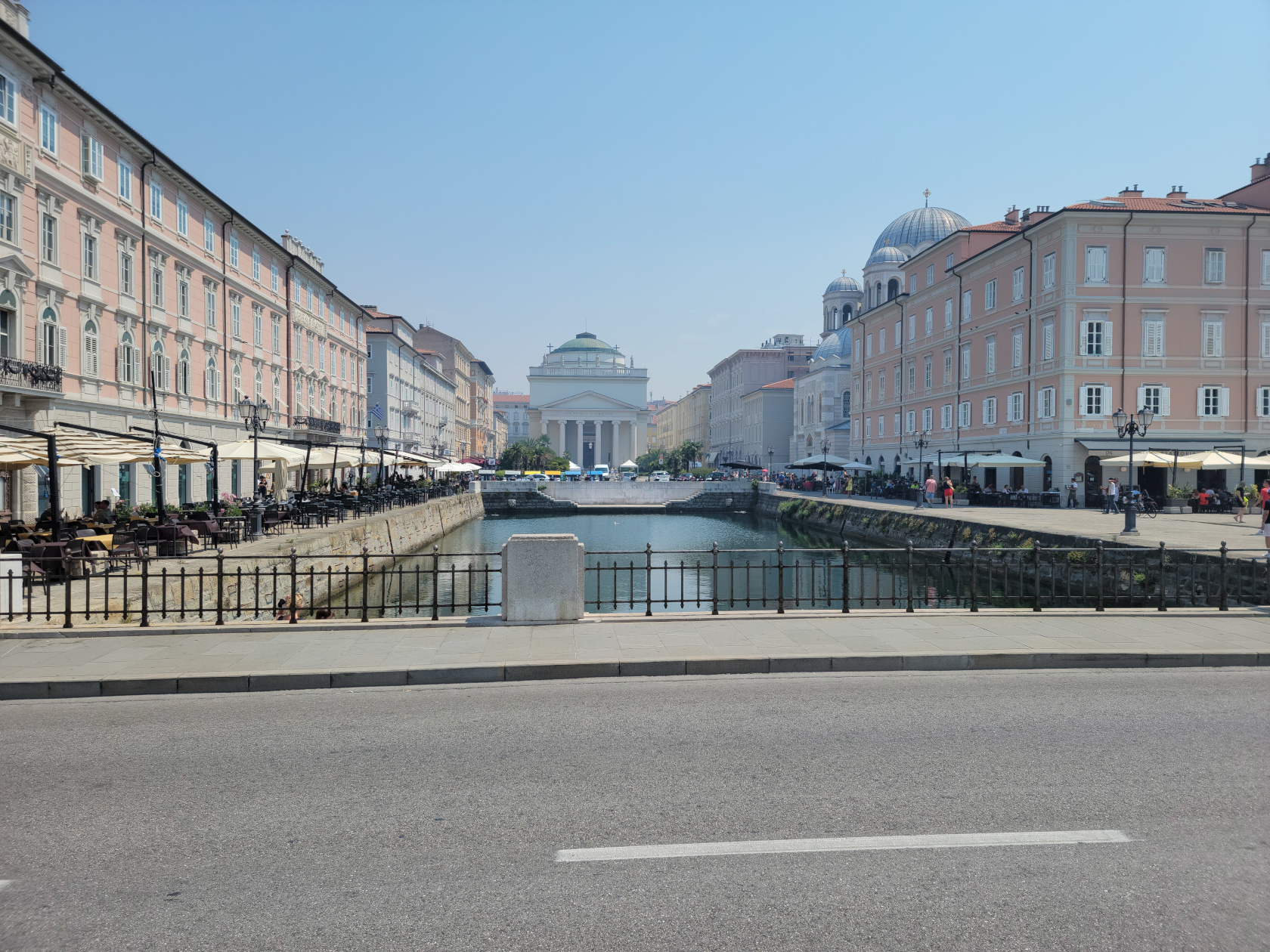
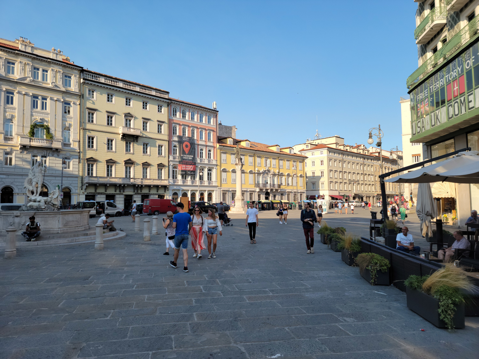
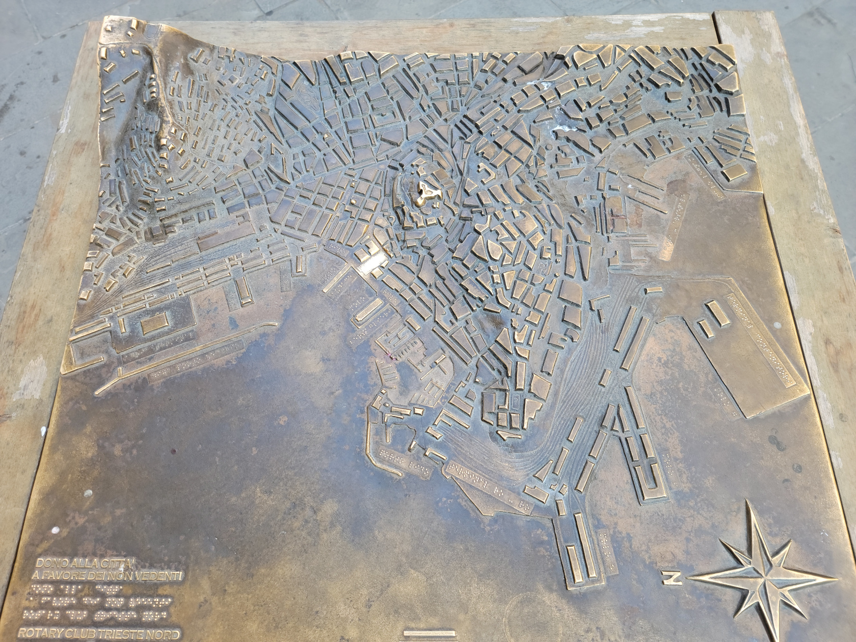
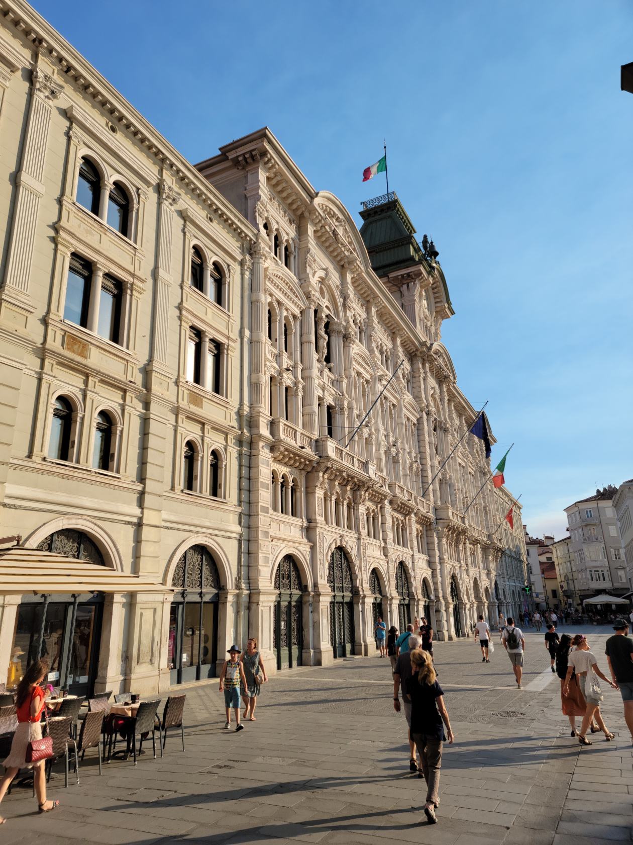
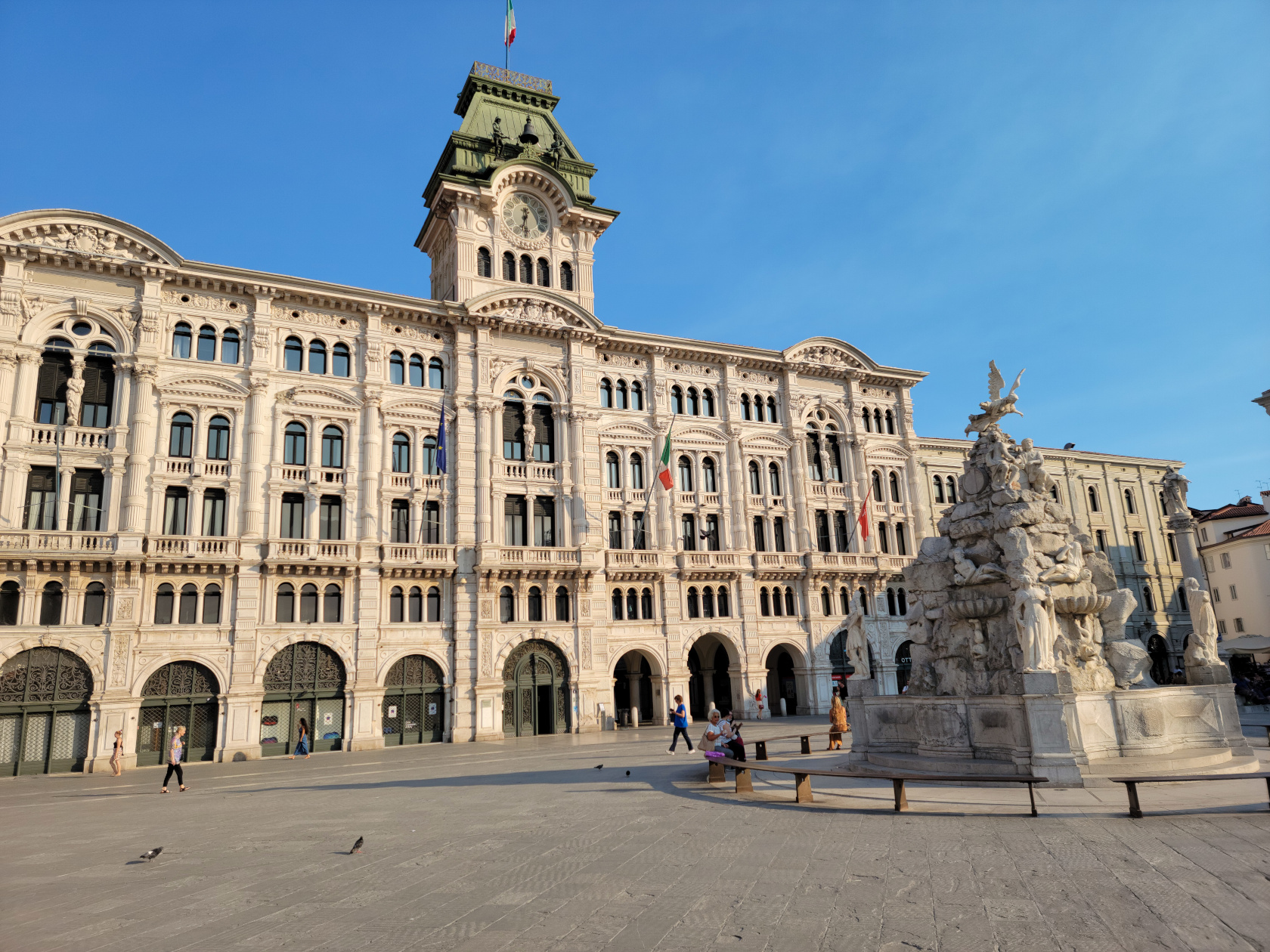
We leave Udine as the endpoint in our latest trip, which has taken us from one part of Italy – Trieste, through Slovenia and a little bit of Austria, back to Italy and underrated Udine. Though we both ate too much, we really enjoyed this trip and had several surprises along the way, which made it all that more memorable.
So, if you are ever on a train traveling east from Milan, perhaps to Venice, Austria or Slovenia, you may want to stop at Udine to see what it has to offer. We stopped on our way back and were not disappointed, we think you wont be either. Happy travels!